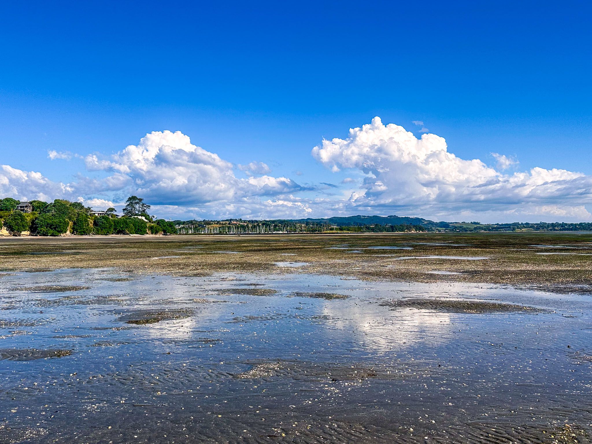
The Pōhutukawa Coast is a picturesque area of Auckland between Whitford and Clevedon. It sits on the southern edge of Tāmaki Strait, the waterway between Waiheke Island and the mainland. There are several beautiful sheltered beaches, two large coastal regional parks, Ōmana and Duder, and the coastal towns of Beachlands and Maraetai.
The name Pōhutukawa Coast, reflecting the pōhutukawa trees that line much of the coast, is modern. The Maraetai newsletter named itself the Pōhutukawa Coast Times in 1992. In 2002, the Whitford Rotary Club became Pōhutukawa Coast Rotary, and the Pōhutukawa Coast Community Association was formed in 2004.
A single 28.3 km highway connects the region. From Whitford, take Whitford Maraetai Road, which becomes Maraetai Drive in Maraetai, then Maraetai Coast Road to Umupuia Beach. This section is especially scenic as it closely hugs the beaches and cliffs of the coast. From there, take North Road to Clevedon and circle back to Whitford.
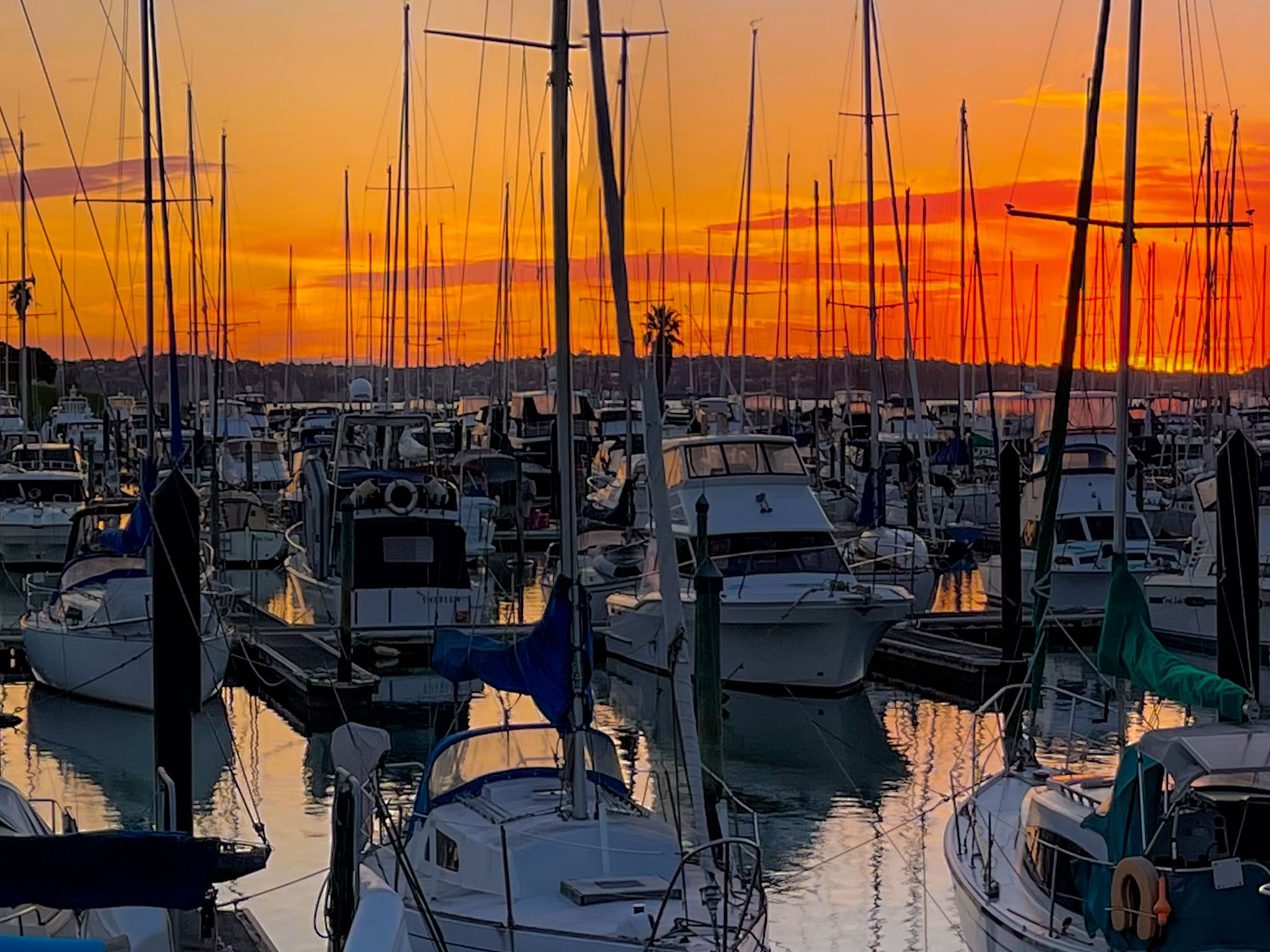
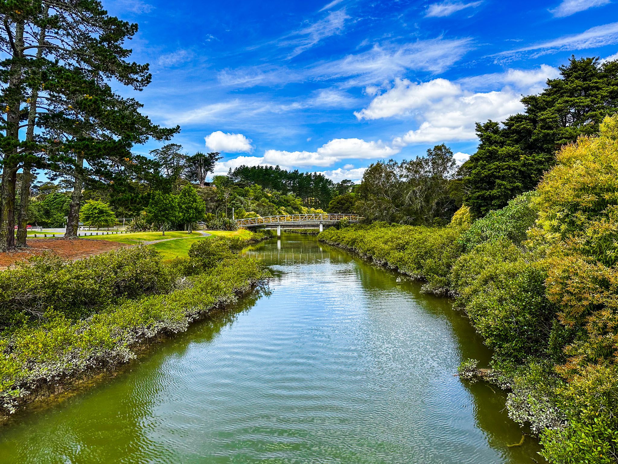
Whitford is a rural area on the eastern edge of Auckland City. The village is on Tūranga Creek, which flows into Tāmaki Strait. Stretch your legs on the attractive loop across the stream and through the Village Green. After Whtiford, it is a beautiful rural drive to Beachlands. There is a marina at Pine Harbour and a terminal for ferry services to Downtown Auckland. The Beachlands coast consists mainly of cliffs, with beach access in Sunkist Bay and Shelly Bay.
From Beachlands, continue on the highway to Maraetai or walk or ride the Beachlands to Maraetai Walkway. You can start the walkway from the ferry terminal, following Belisi Way and suburban roads, until you reach the track that begins in Leigh Auton Reserve at the east end of Second Avenue.
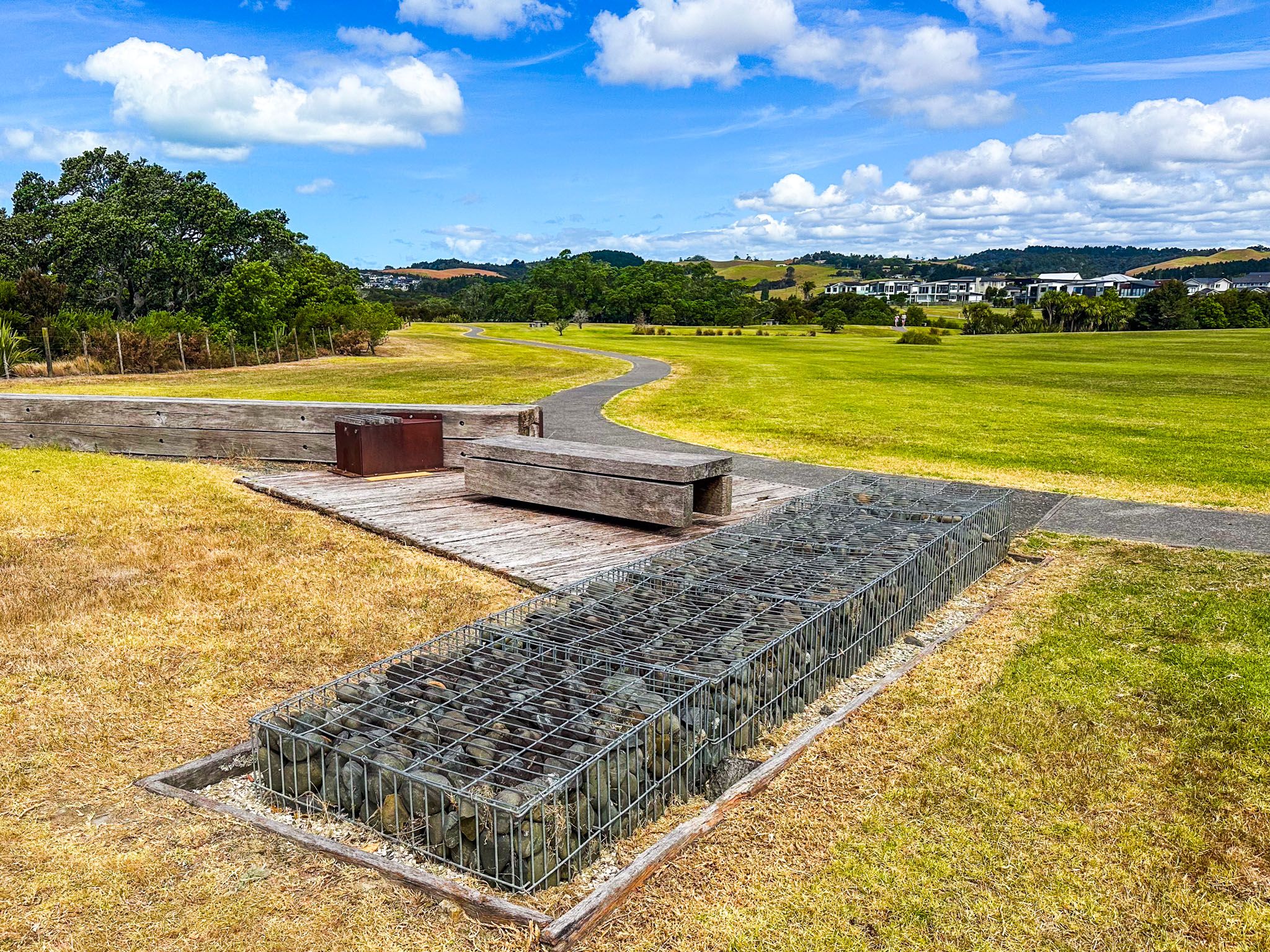
The road to Maraetai runs along the south side of Ōmana Regional Park. The park has a campsite, picnic facilities, and walking options and is next to Ōmana Beach, a beautiful suburban beach. The Beachhaven to Maraetai Walkway crosses the park and follows the edge of Omana Beach to Maraetai.
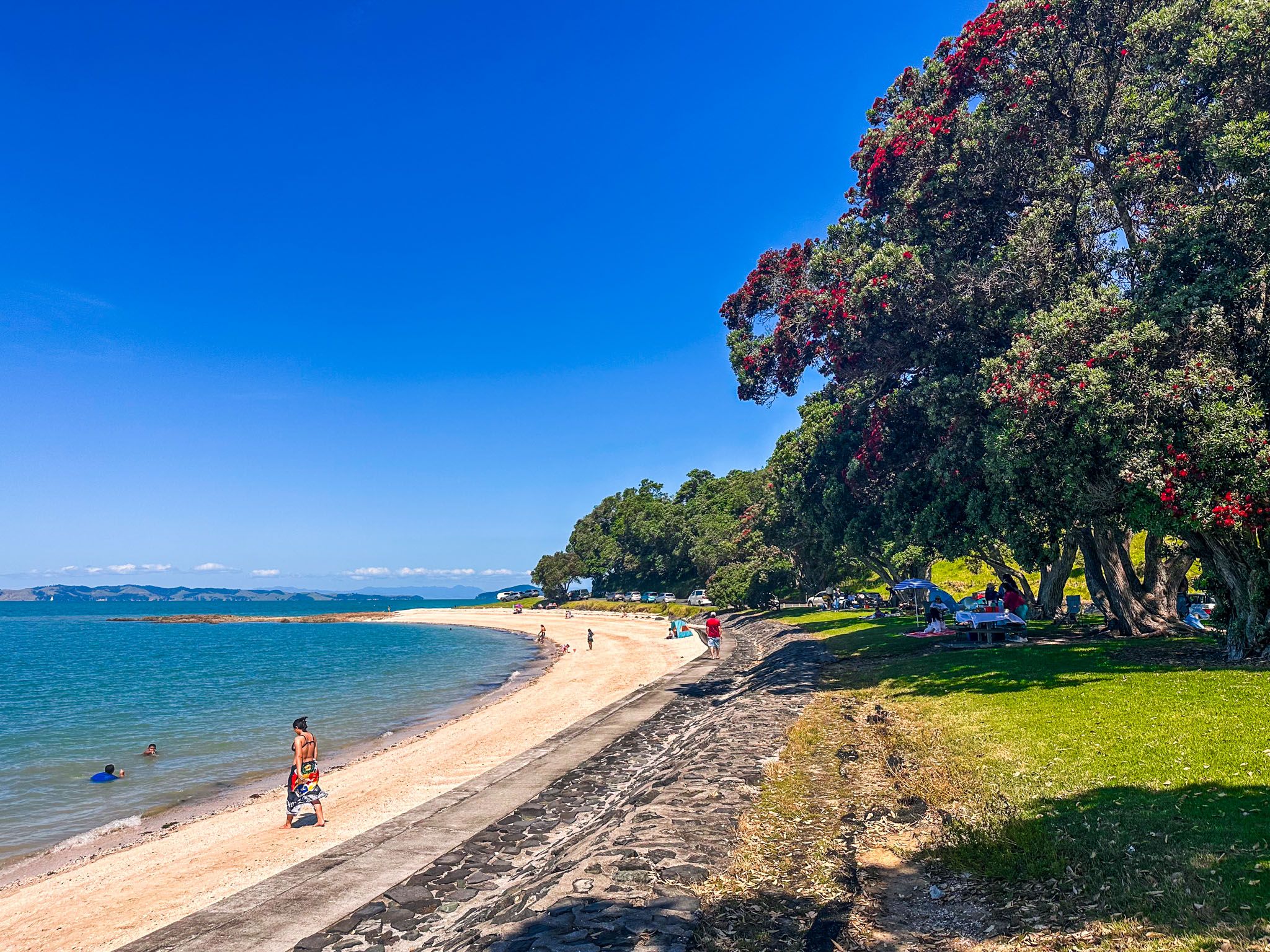
Maraetai is best known for its 1 km long golden sand beach. There is a wharf, popular for jumping off at high tide, and cafes. At the east end is a large copse of pōhutukawa trees. Maraetai is extremely popular on summer weekends and holidays, so be prepared for a crowd!
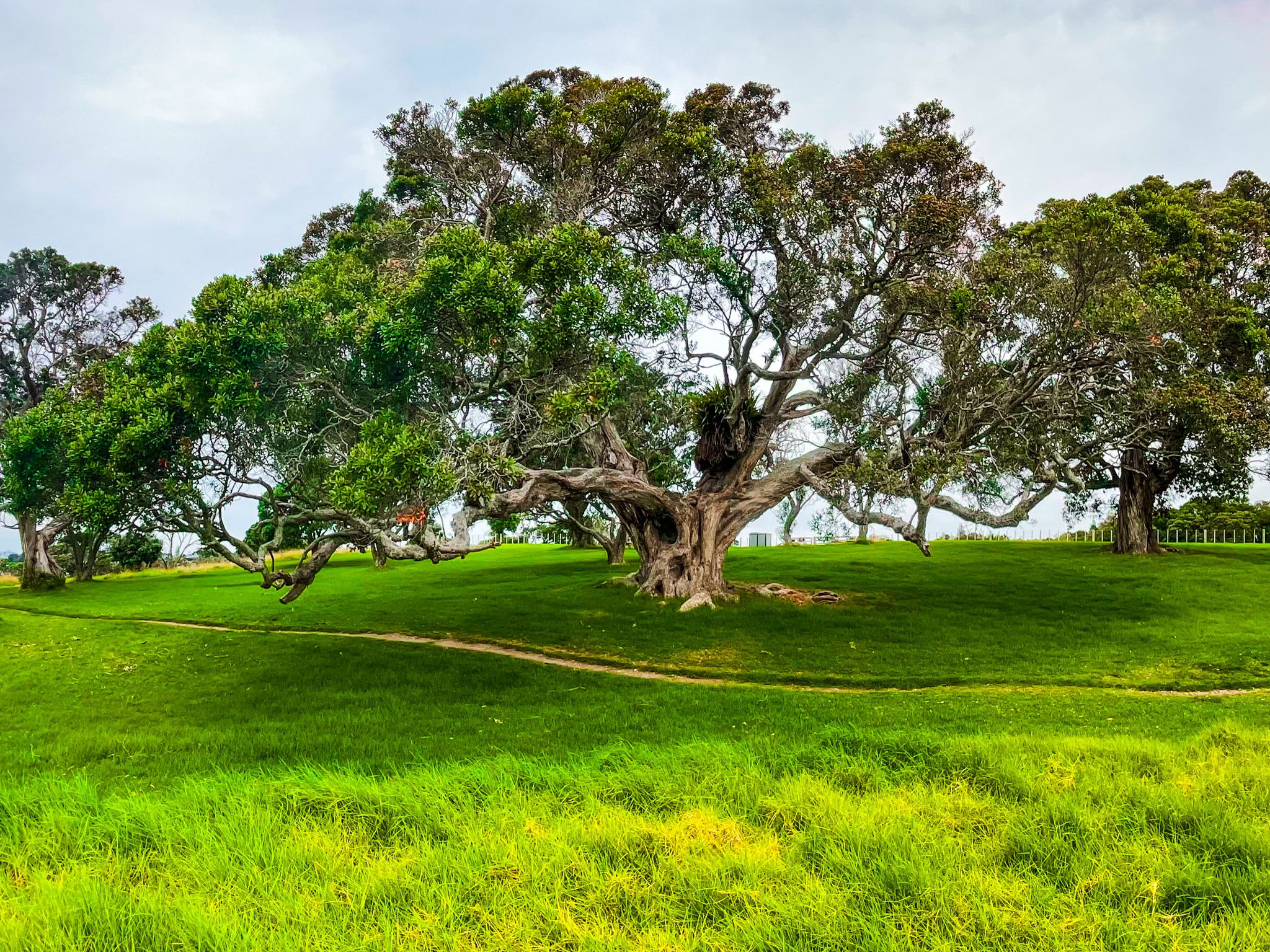
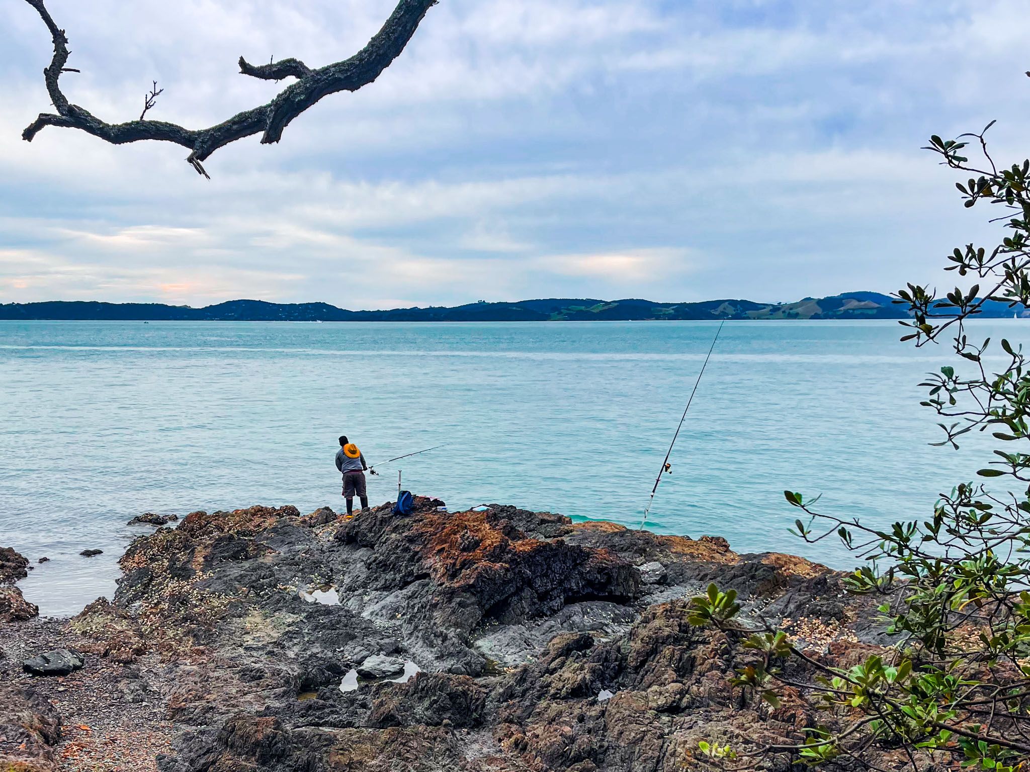
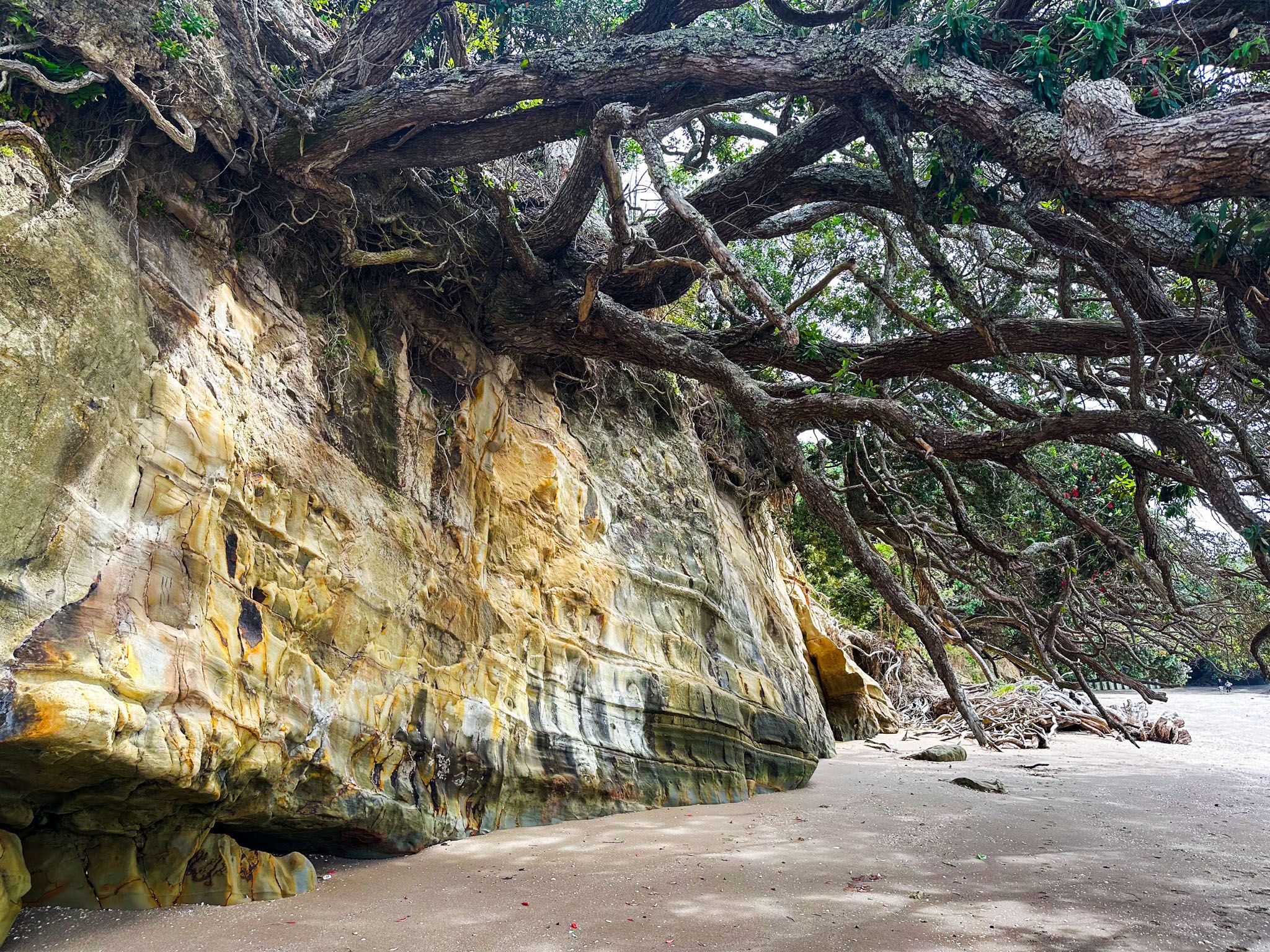
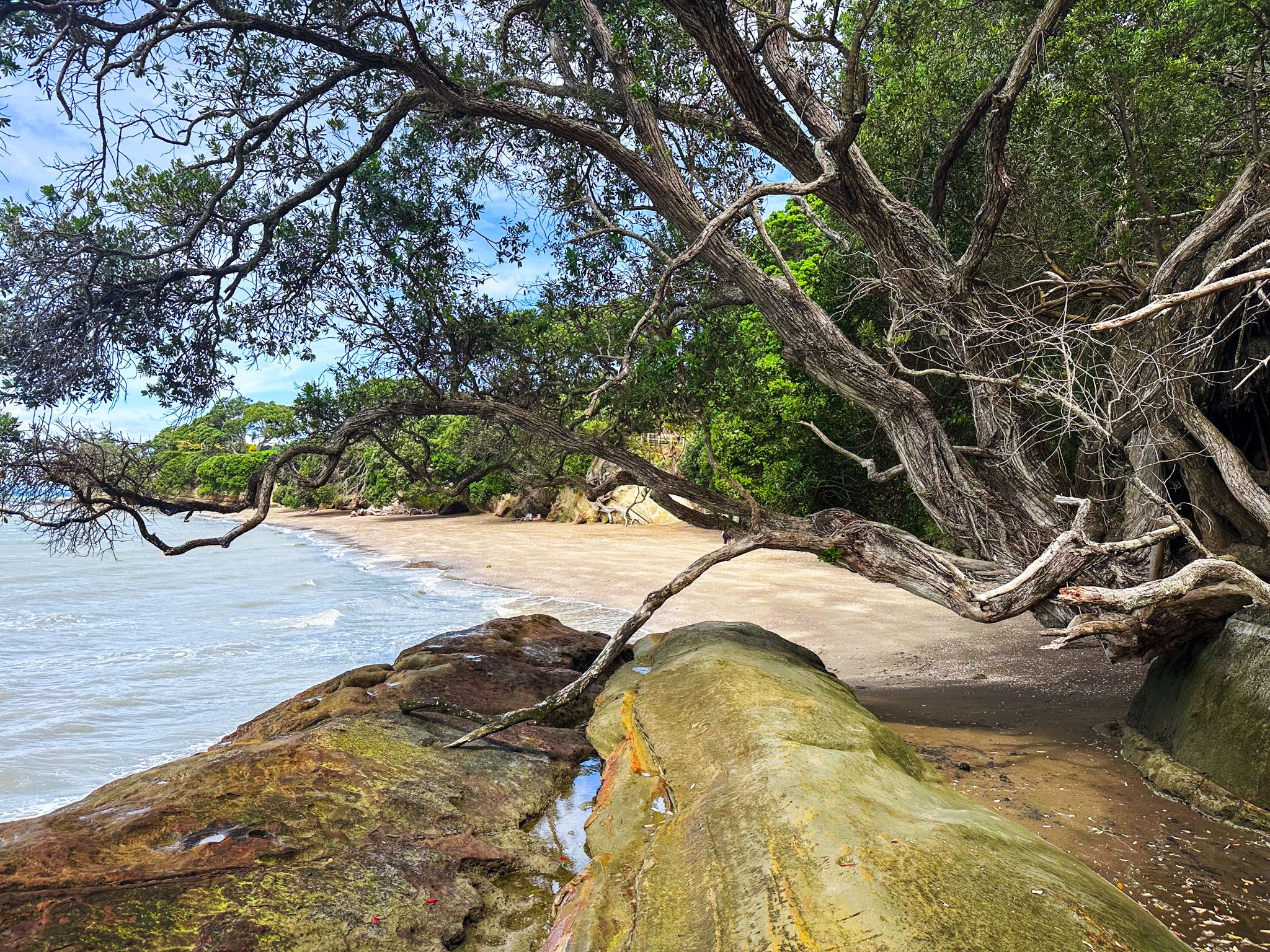
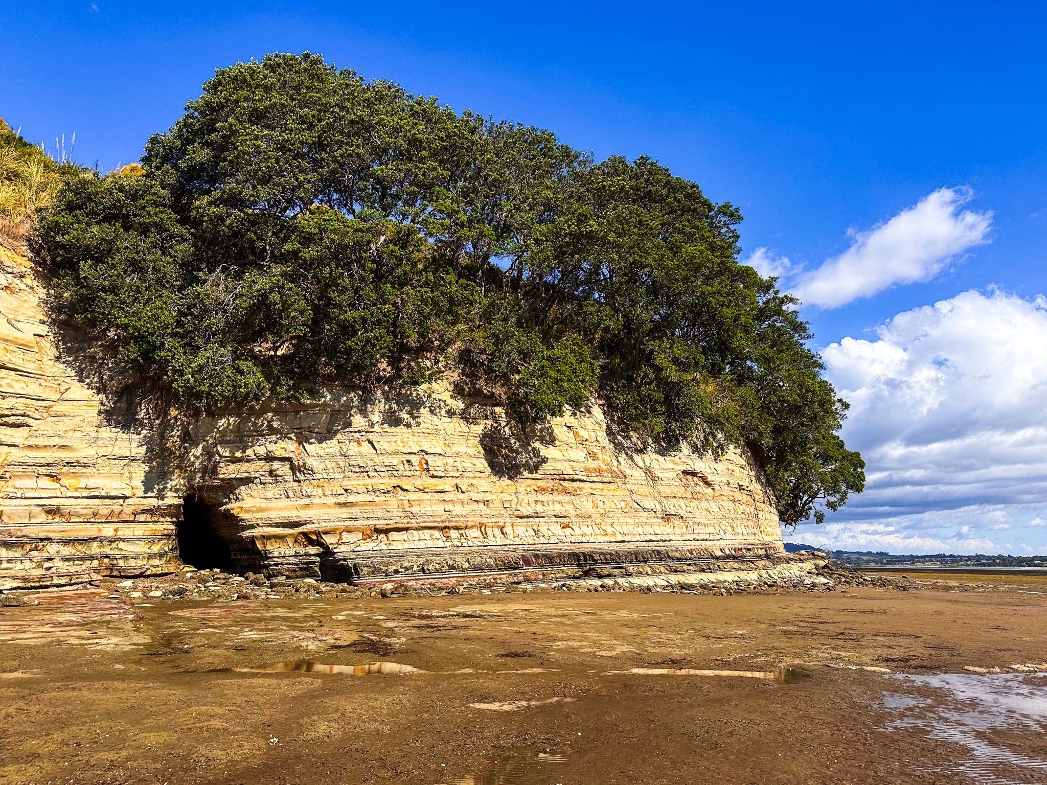
Immediately southeast of Maraetai is beautiful Waiomanu Beach, and around the corner is stunning Magazine Bay. The road follows the cliff edge to Umupuia Beach and Duder Regional Park. Umupuia is not as pretty, but it will be uncrowded. Walks in Duder include spectacular Whakakaiwhara Pā on the peninsula's tip. Finally, it’s a short drive to Clevedon and the superb Clevedon Scenic Reserve.
The coast is significant to Ngāi Tai ki Tāmaki iwi. The Tainui waka (canoe) landed there in the 1300s, and some elected to stay. The area was rich in resources, with substantial kai moana (seafood) and kauri forests. The waterways of the inner gulf provided easy access. Today, you can follow Te Ara Moana by kayak from campsite to campsite.
By the 1600s, Whakakaiwhara Pā and Te Oue Pā, south of the peninsula, were the main locations of Ngāi Tai. In the early 1800s, European trading contact increased, and Ngāi Tai rangatira shifted to Umupuia. The Musket Wars of the 1820s impacted the iwi, but many returned in the 1830s. In 1836, English missionary William Fairburn purchased 40,000 acres between Ōtāhuhu and Umupuia.
Māori were largely unaffected by the sale, actively participated in the mission, and the surrounding farm became one of the first in Auckland. Around 85% of the land sale was overturned as unfair in the 1840s following a post-Treaty of Waitangi review, but the government took this land and sold it to settlers. In 1854, a reserve was established for Ngāi Tai between the Wairoa River, Umupuia and Maraetai, restricting the iwi from using other areas for traditional food gathering.
Although Ngāi Tai was neutral during the government invasion of the Waikato in the 1860s, the war was an excuse to confiscate more iwi land. Then, in the mid-1860s, the new Land Court converted the remaining lands into 10 individualised blocks. The iwi elected to sell most blocks, including the Whakakaiwhara Peninsula, which was sold to the Duder family. The iwi presence continued at Umupuia, where the marae is today, and the iwi owns the land alongside the beach to the high tide line. It settled its historical grievances with the government in 2015.
By the 1870s, newly arrived settlers had cleared much of the kauri forest through the region and converted the land to mostly sheep farms.
By the 1900s, the coast was popular for picnics and camping. Beachlands and Maraetai were created in the 1920s as holiday communities, and the two regional parks were added in the 1970s and 1990s. Today, the towns are well past holiday home status and are more like comfortable beach suburbs of Auckland.