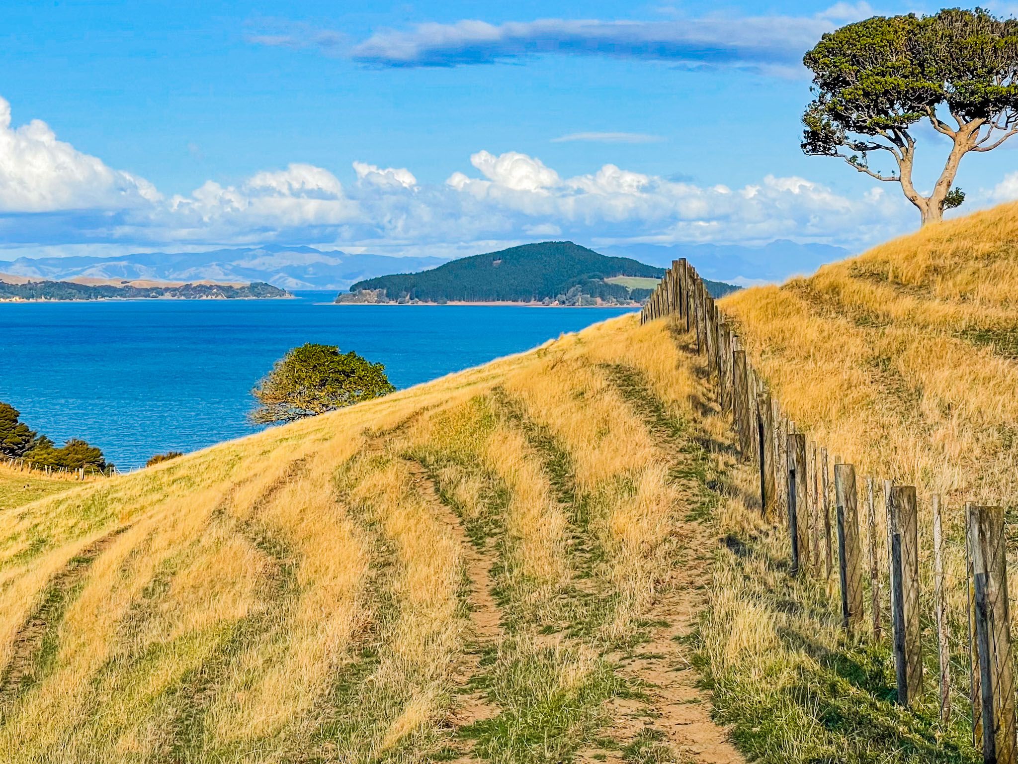
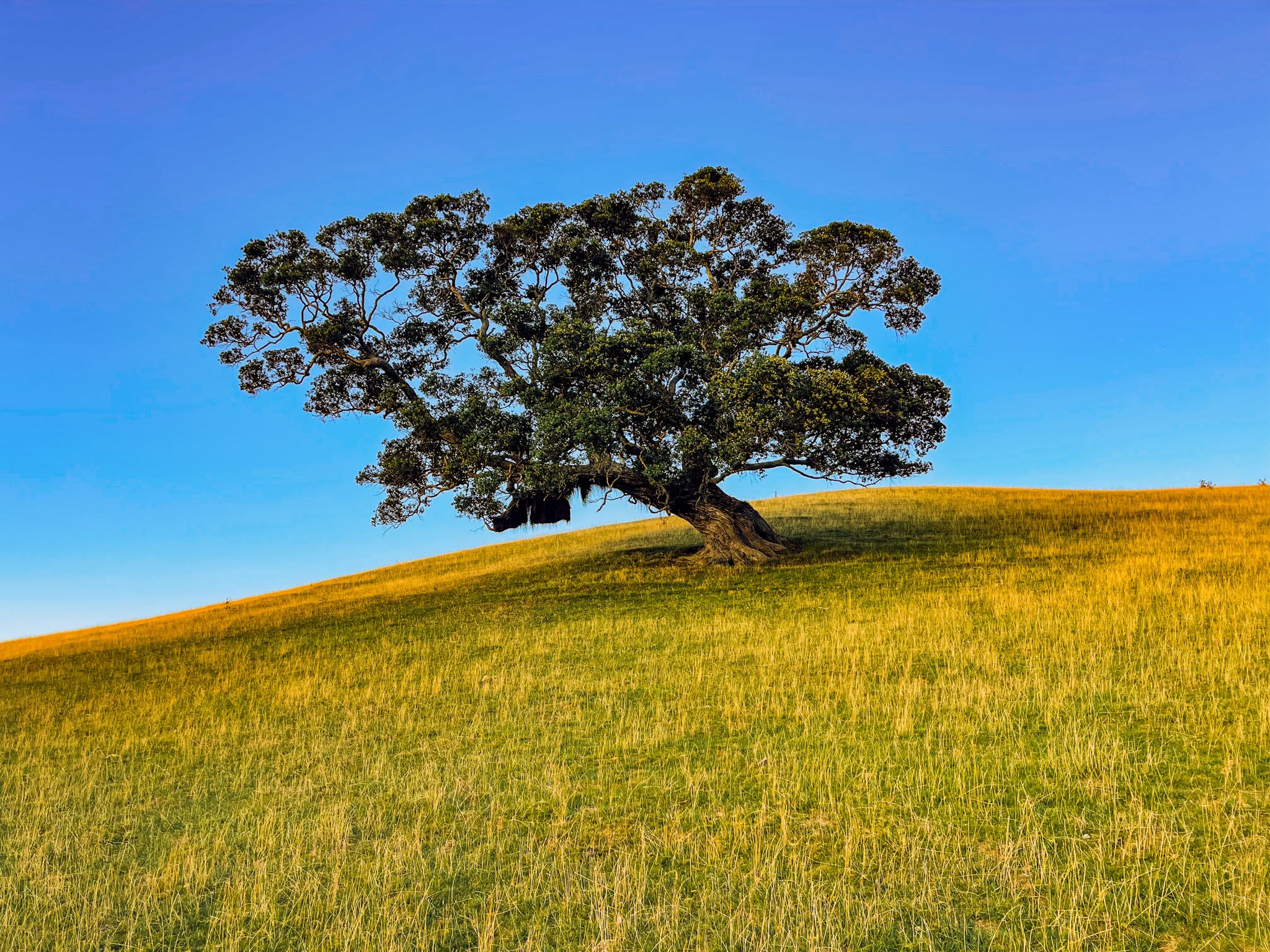
Whakakaiwhara Pā Walk is superb and the best of the several walking options in Duder Regional Park on the Pōhutukawa Coast in Auckland. It runs over the grassed rolling hills that dominate the peninsula and ends with a walk along a steep ridge at the peninsula’s tip. It was once the location of a pā, and the protective trench and other signs of occupation are easy to spot.
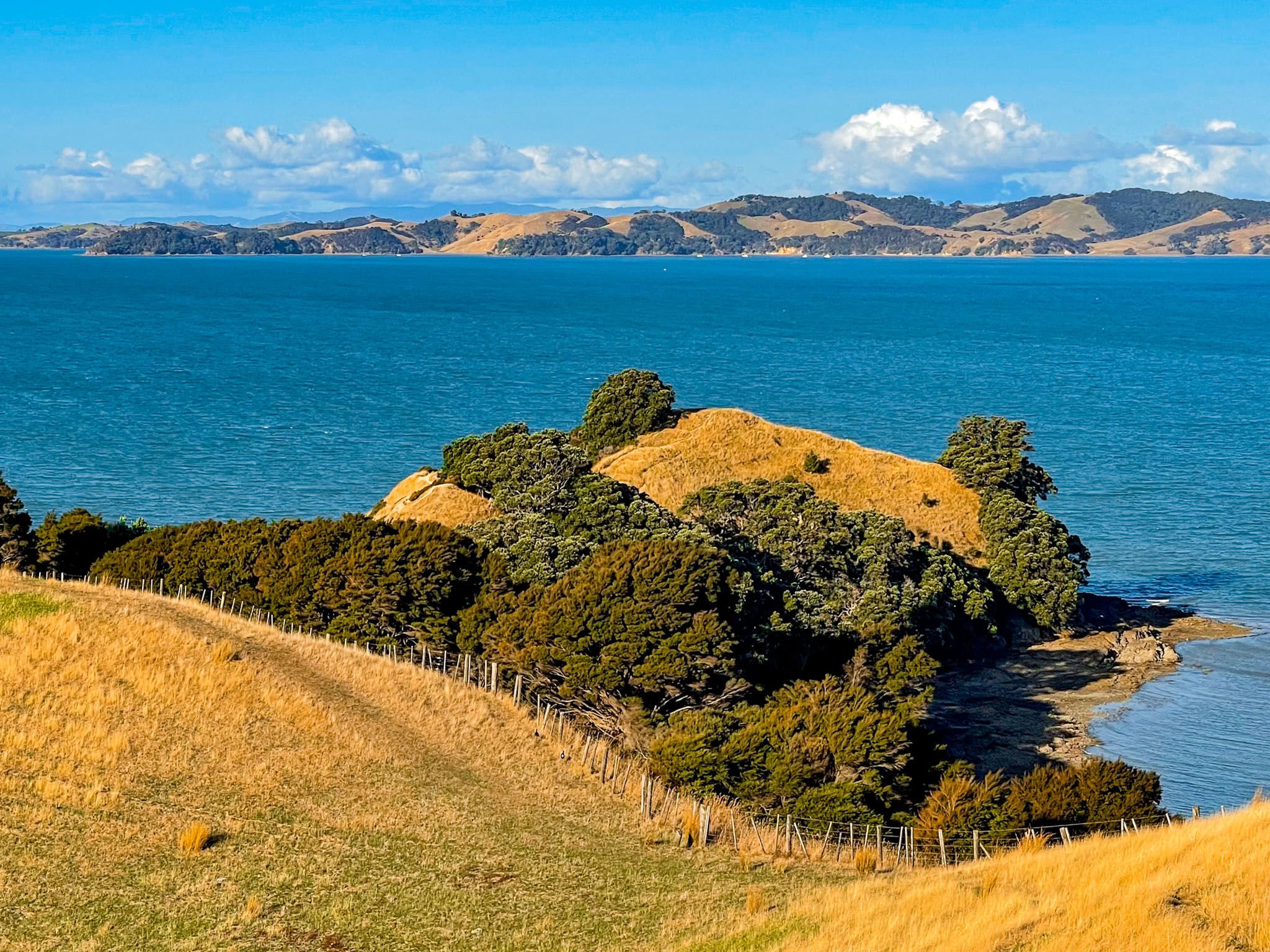
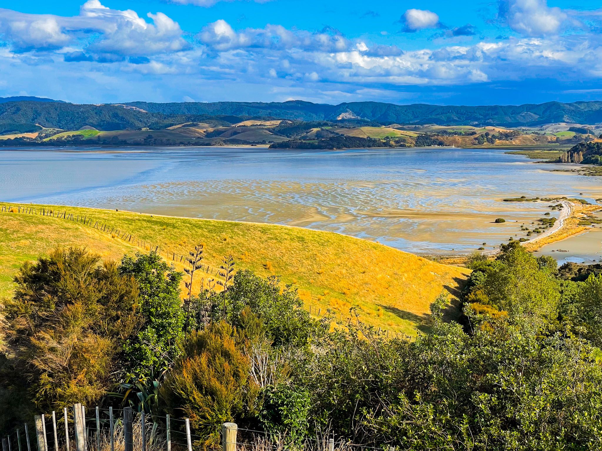
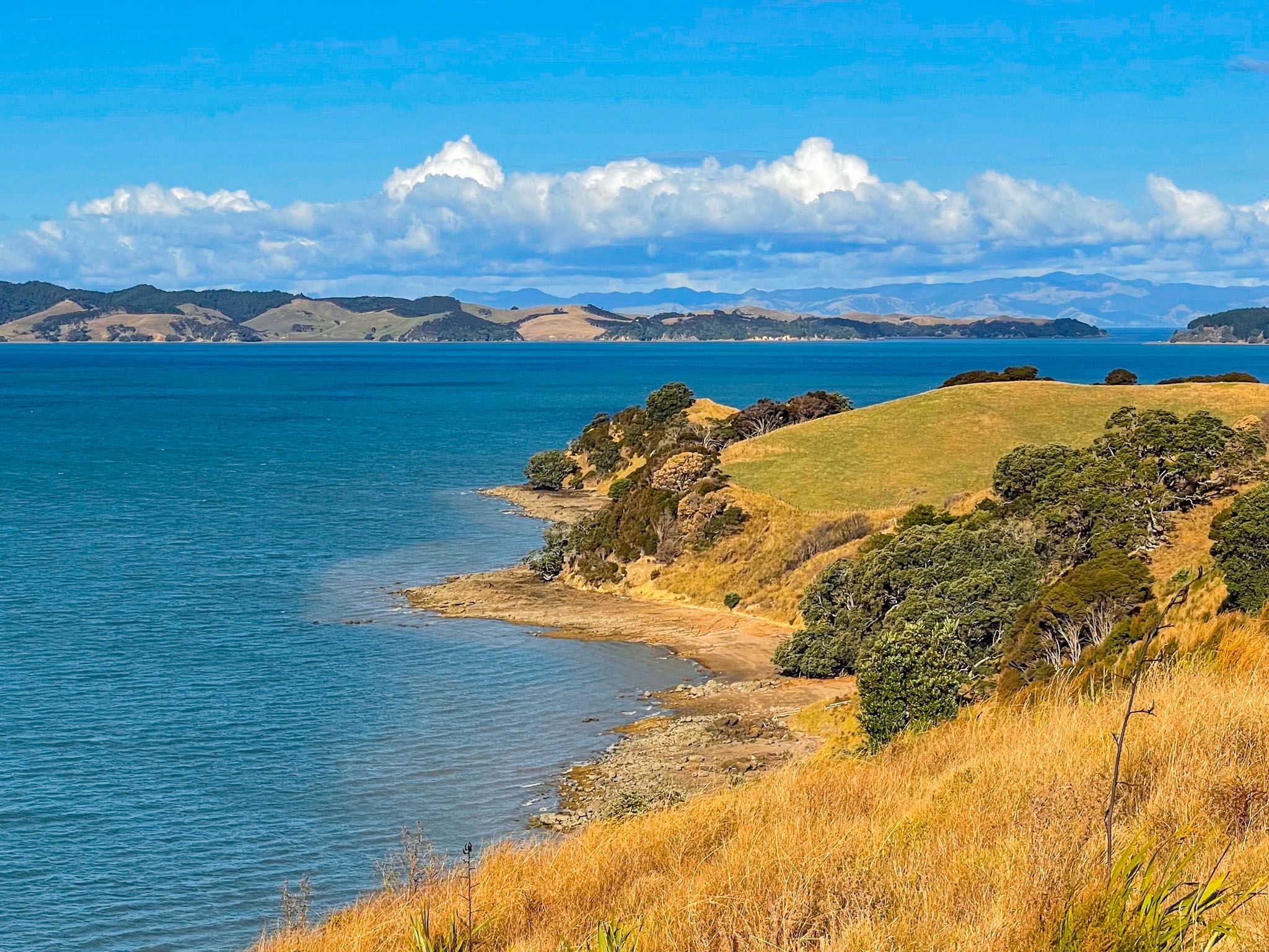
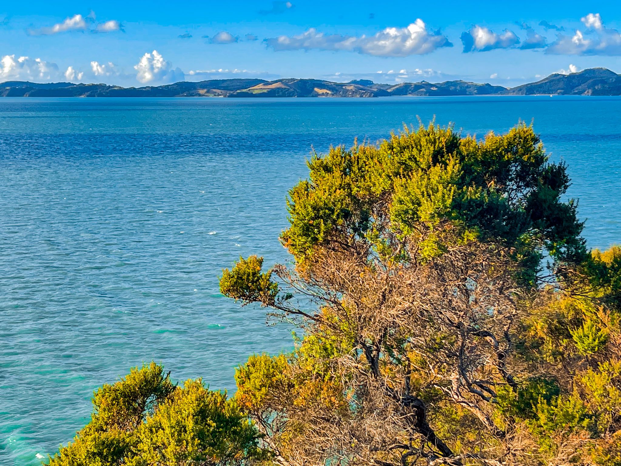
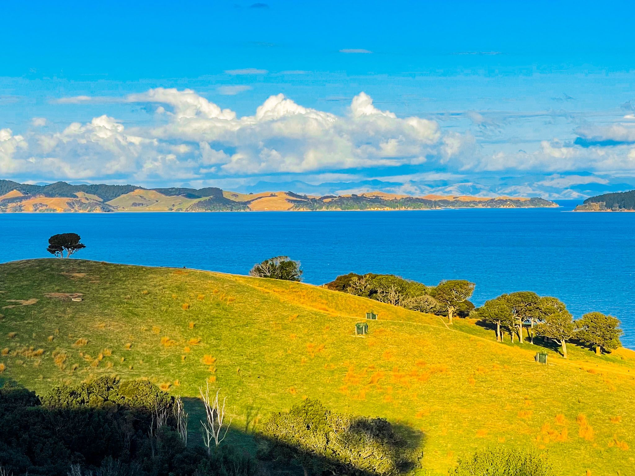
The views are fabulous and uninterrupted throughout the walk, especially as you cross the high ridge to the peninsula’s tip. The tip points northeast towards Ponui Island and the Coromandel. Waiheke Island is north across the Tāmaki Strait. Looking southeast, you get the peninsula’s east coast sweep to Wairoa Bay and Mātaitai Bay in the Waitawa Regional Park.
There are several ways of getting to the track. Starting from the car park off North Road, you can take the Farm Loop, the track via Te Wharau Bay, or the Sustainable Trail. Alternatively, from the end of Maraetia Drive at Umupuia Beach, you can walk along the coast on the east side of the peninsula till you see a track that takes you up to the walk. You can also combine these options to create a loop covering most of the park.
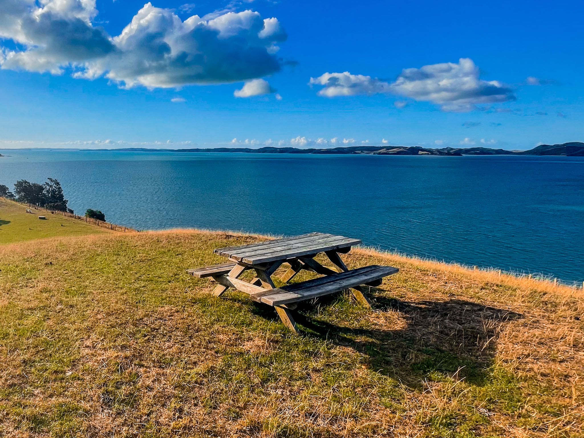
Allow 2.5 to 3 hours for the return trip from the main car park and a bit less from the end of Maraetai Coast Road. The trail undulates and includes short but sharp climbs on mostly grassy trails. The trail is also exposed, so be aware of the weather. If it's a nice day, take a picnic; there is plenty of room at the tip!