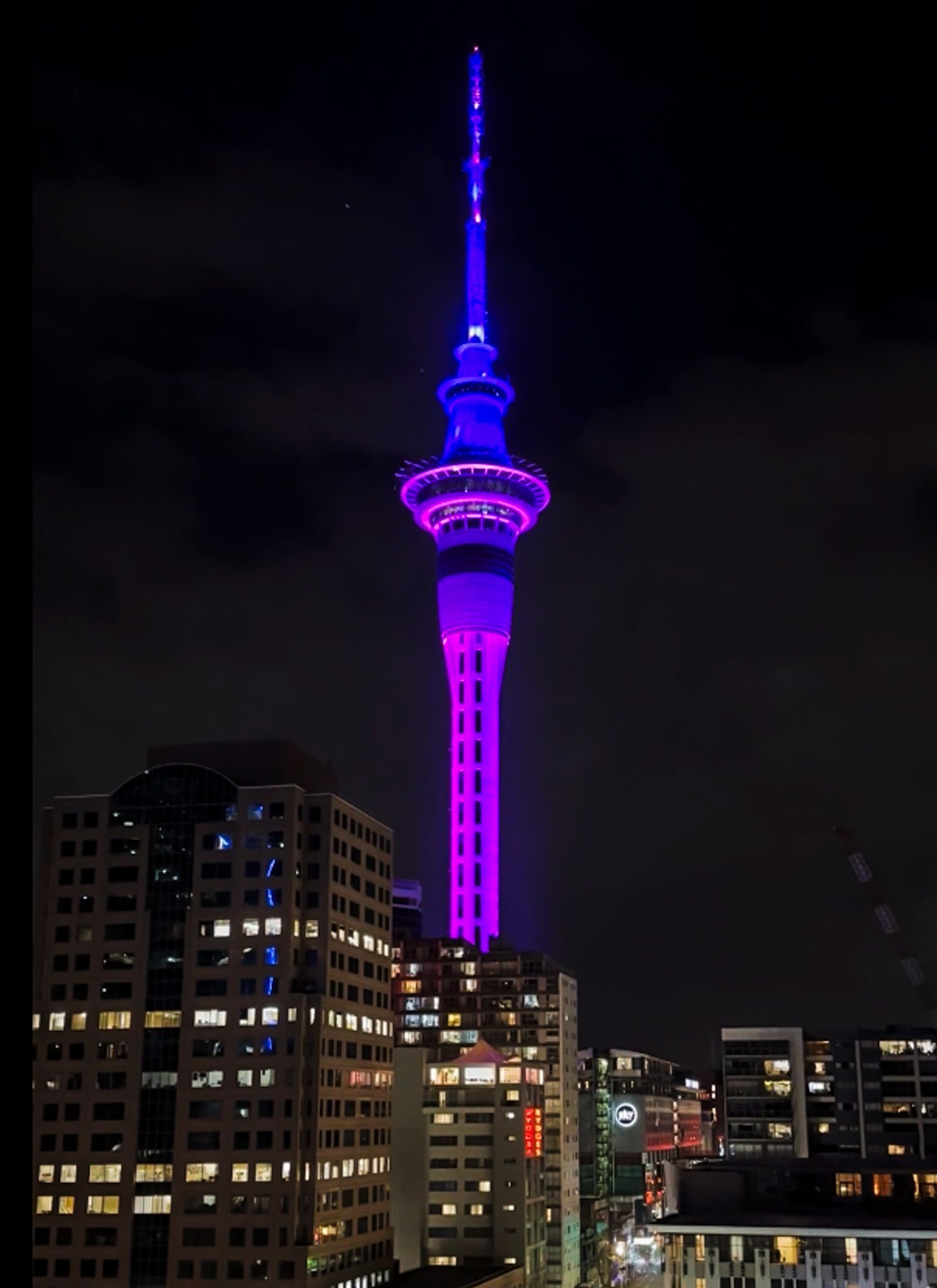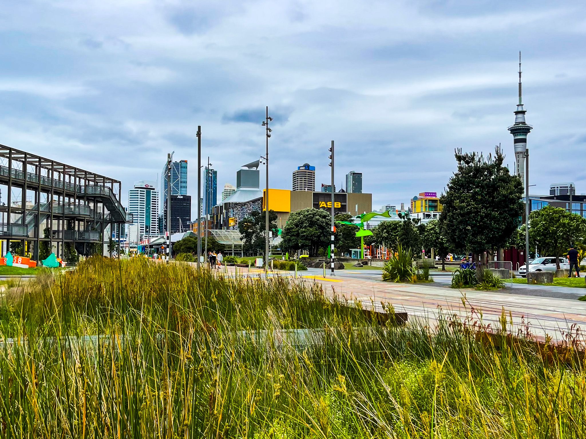
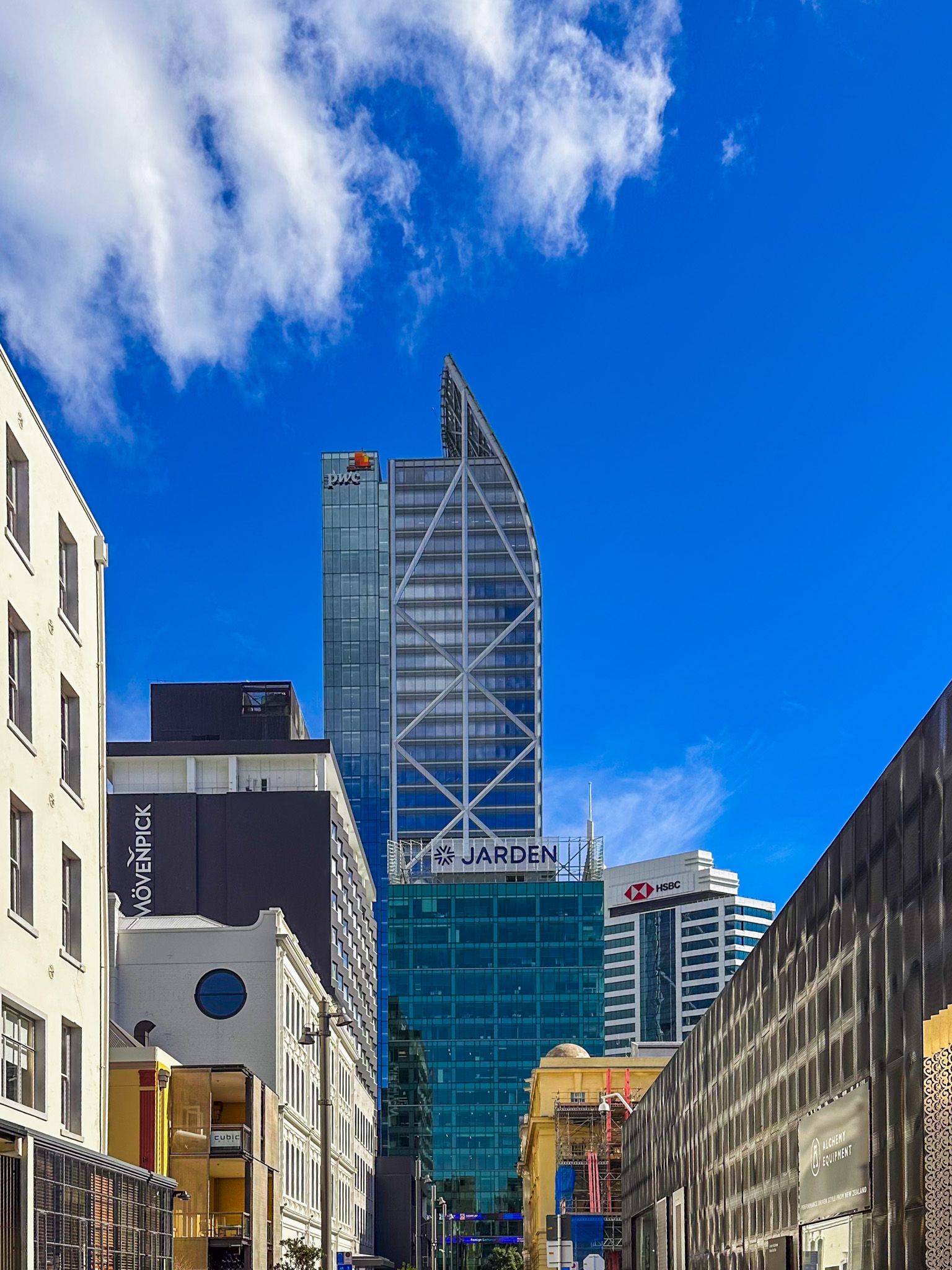
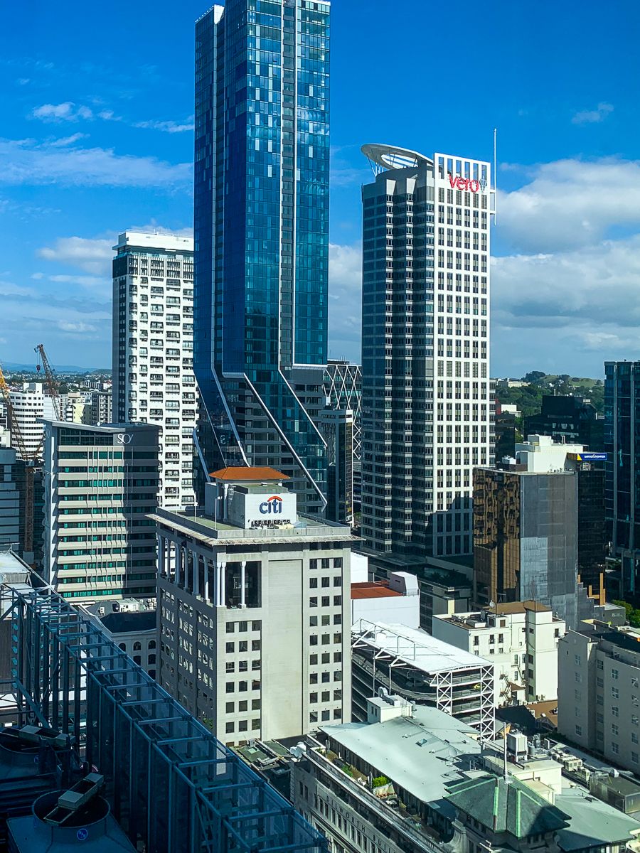
Downtown Auckland has seen significant development in the last decade, with new buildings filling the skyline. The areas around the University, Albert Park, the Art Gallery, Britomart, Commercial Bay, Viaduct Harbour and the Wynyard Quarter are especially appealing. The Sky Tower is colourful at night and a paid option for great views. Even if you're not in Auckland for a city experience, spending a few hours exploring these districts is recommended.
Downtown is 433 hectares, has the largest concentration of skyscrapers in NZ and is about twice the size of the Wellington and Christchurch city centres. The area extends from the waterfront along several south-running streets, with Queen Street at the centre. Grafton Gully separates Downtown from The Domain Pukekawa and the suburb of Parnell to the east. To the south and west, the downtown boundary is marked by the motorway, separating the city from the suburbs of Mt Eden, Grey Lynn, Ponsonby and St Marys Bay.
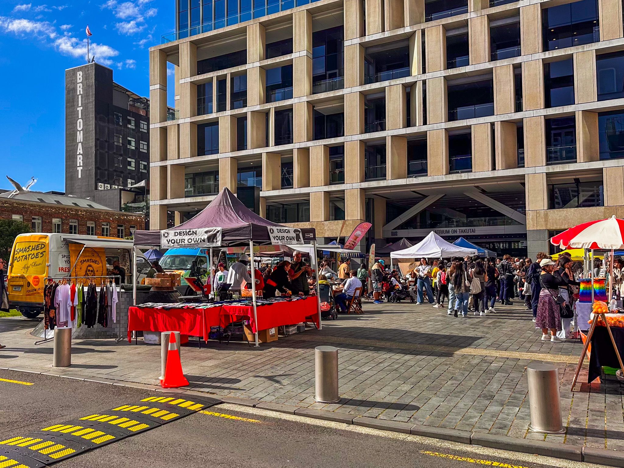
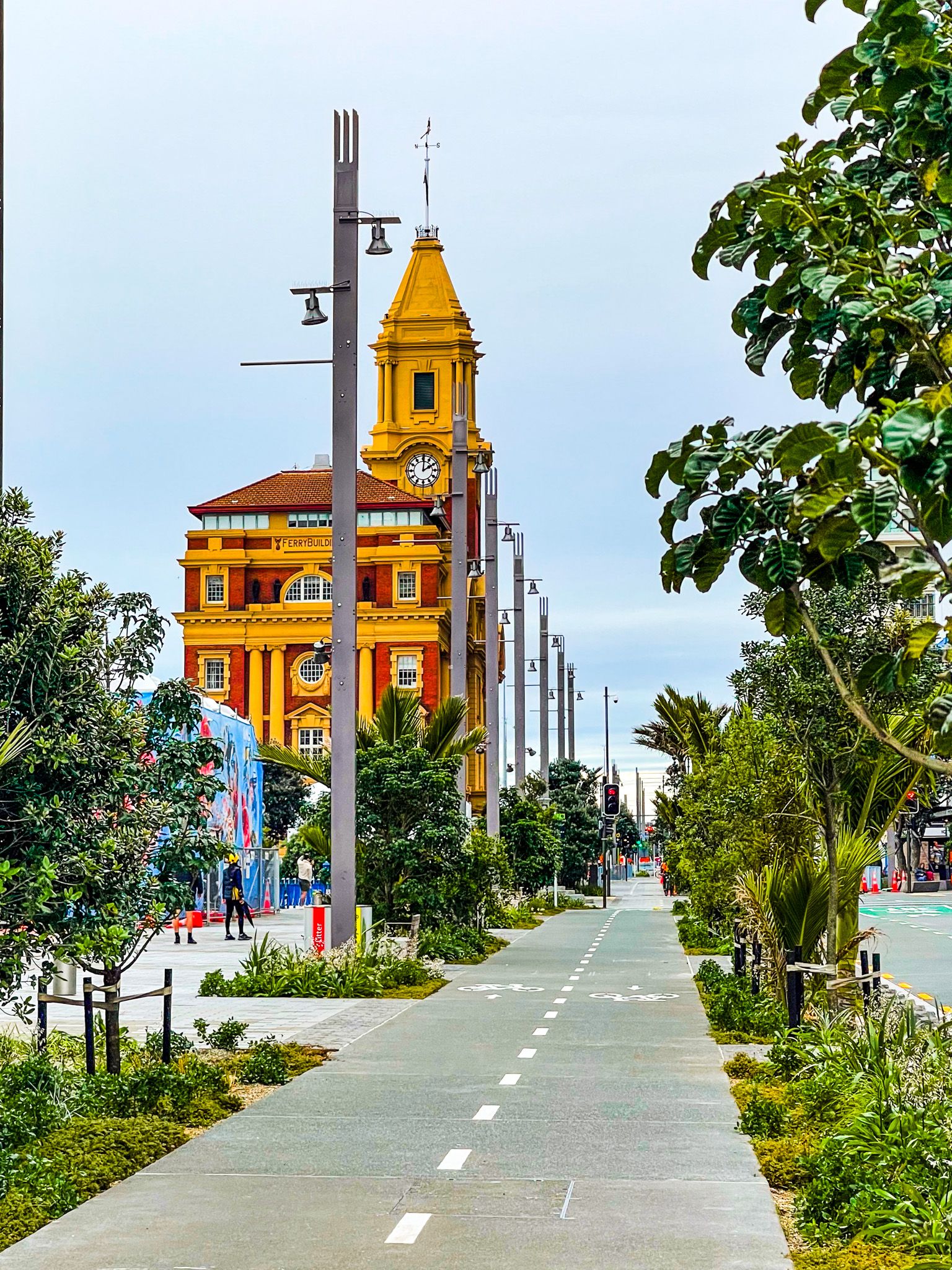
The harbourside end of Downtown is flat, having been primarily developed on reclaimed land. Quay Street is the main road along the waterfront, much of which is dominated by commercial port activities with ferry services immediately west of Queens Street. An easy walking option is from Britomart, with its shops and eateries, past the historic Post Office Building (Britomart Train Station) to the square at the bottom of Queen Street to the modern Commercial Bay towers, with a shopping mall and food hall. The historic Ferry Building is immediately in front of Commercial Bay.
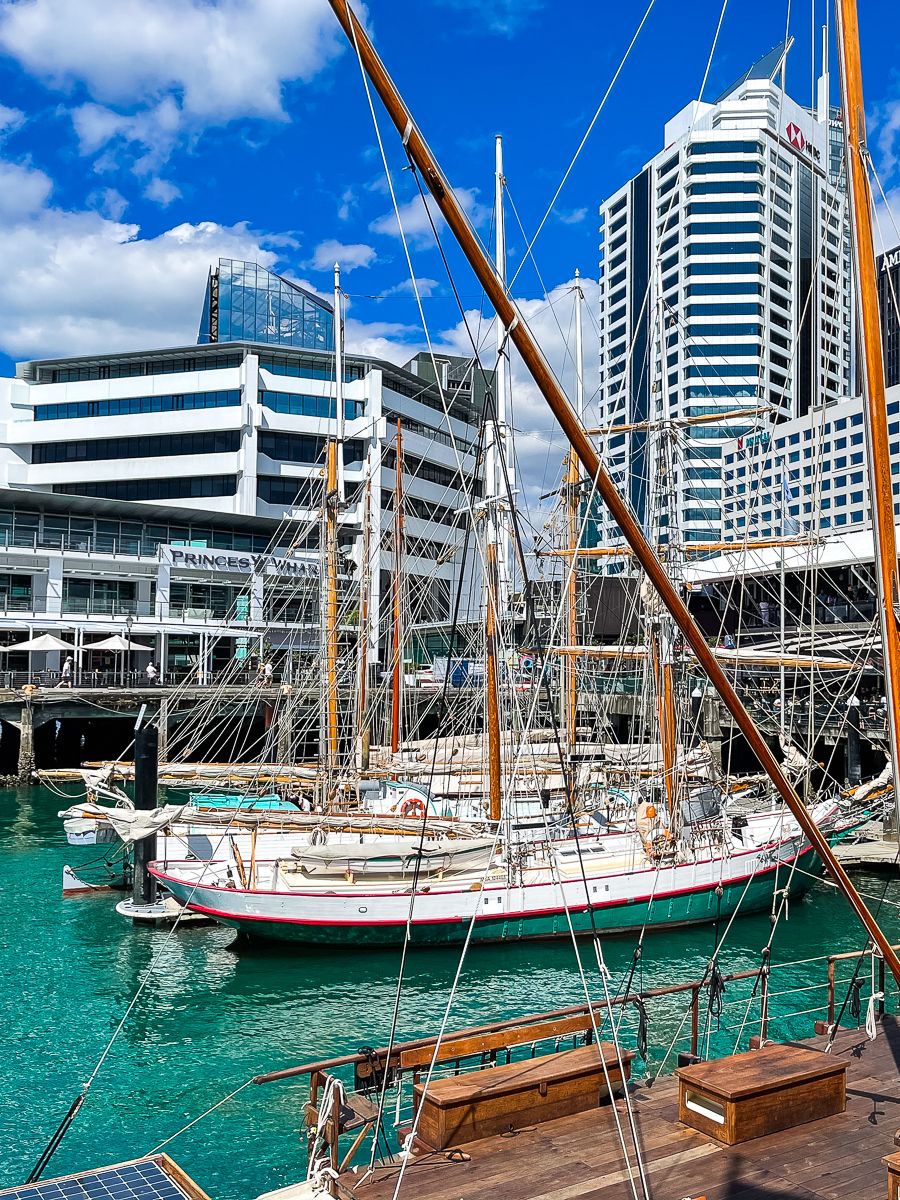
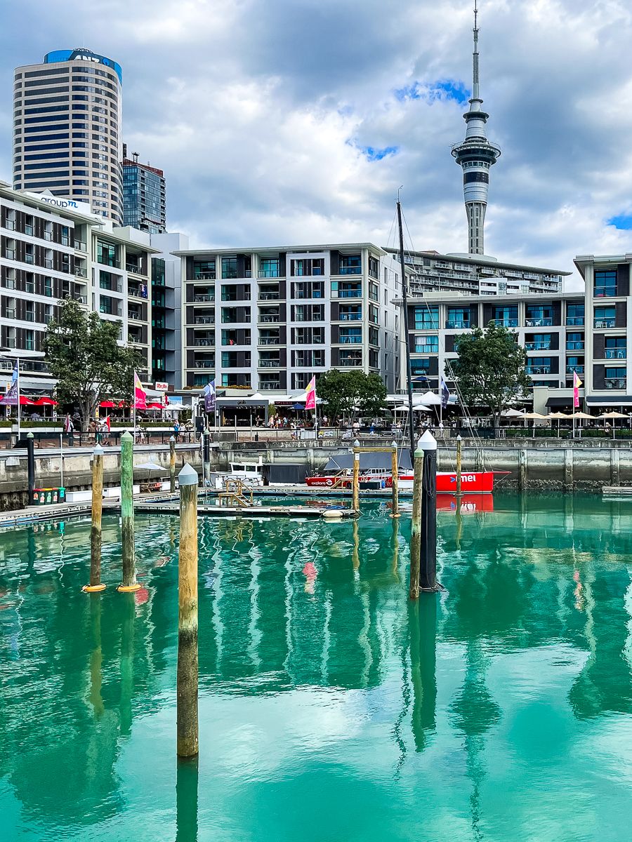
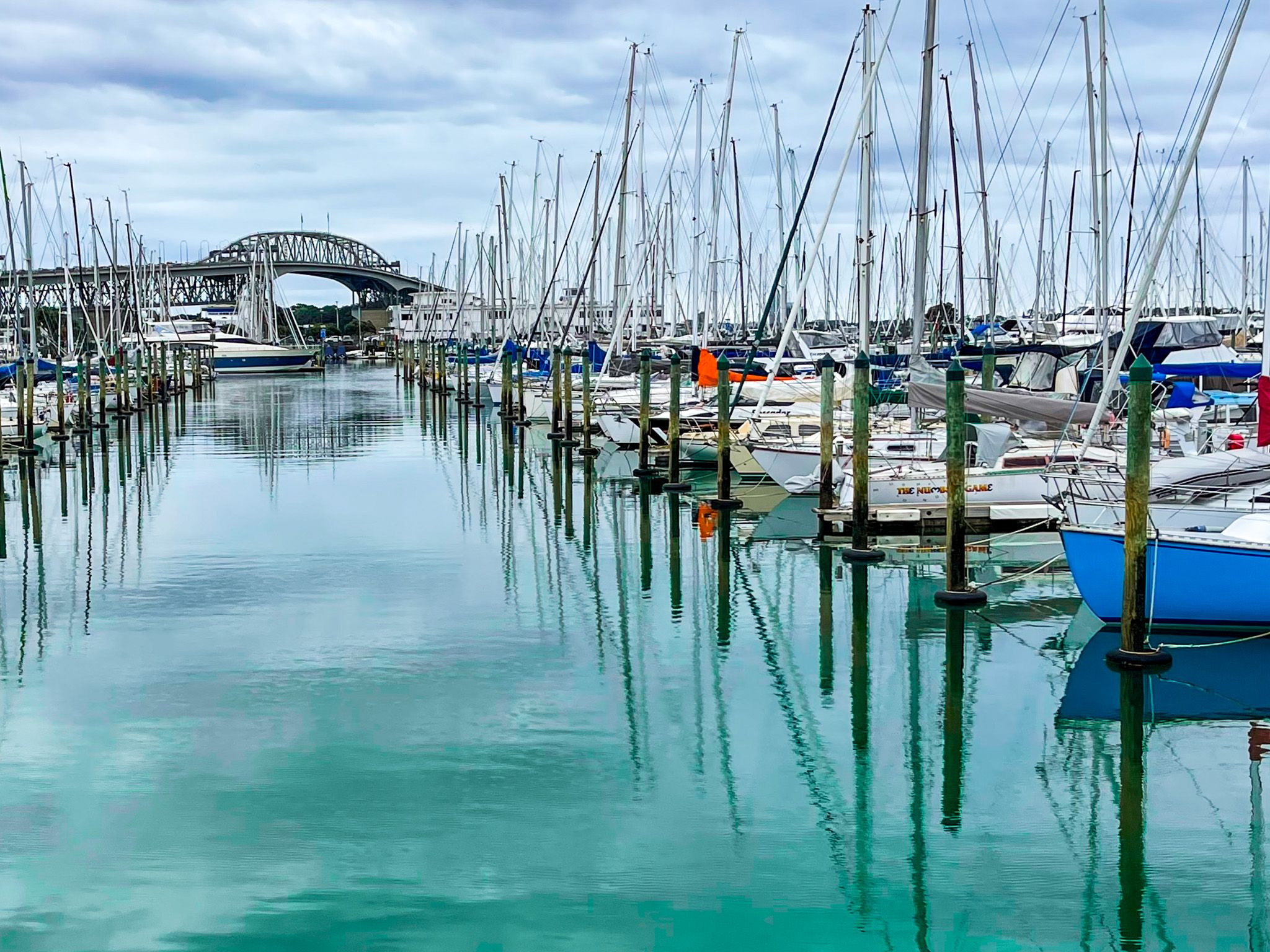
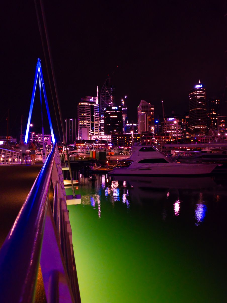
From there, continue west on Quay Street to Viaduct Harbour, which has modern apartments, boat moorings, and eateries. Further to the west again is the Wynyard Quarter, with many restaurants along an old wharf, then Westhaven, the largest marina in NZ. For an extended walk, head to St Marys Bay and Ponsonby, two of Auckland’s oldest suburbs dominated by Victorian-era houses.

Another option is to walk from Britomart up the steep rise to the ridge between Grafton Gully and Queen Street. Symonds Street follows the ridge, with Auckland University and Albert Park as the dominant features. Karangahape Road (K Rd) starts opposite Grafton Bridge, with the historic Grafton Cemetery to the south-southeast. Heading west on K Rd, there is a good range of shops, eateries and bars.
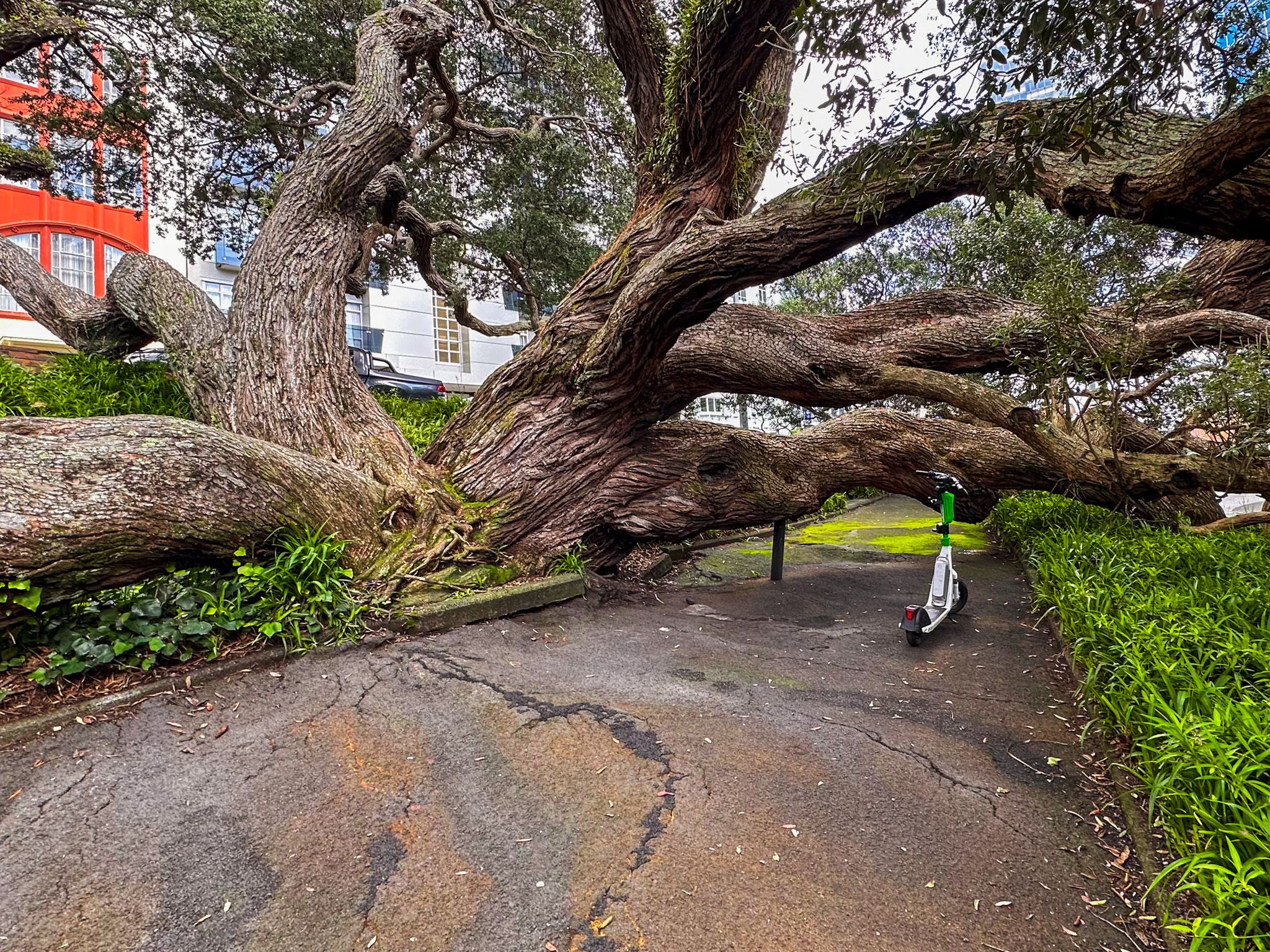
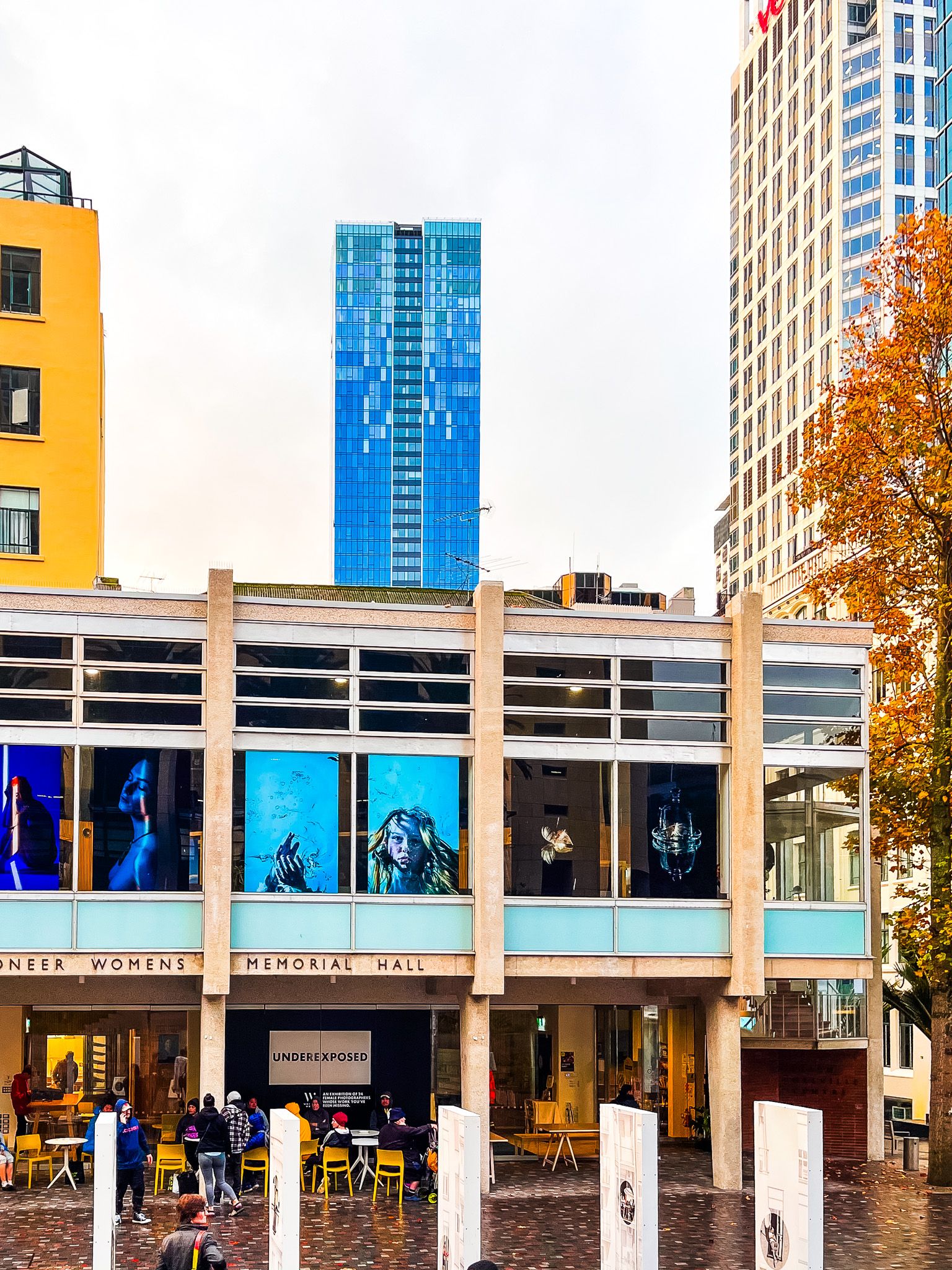
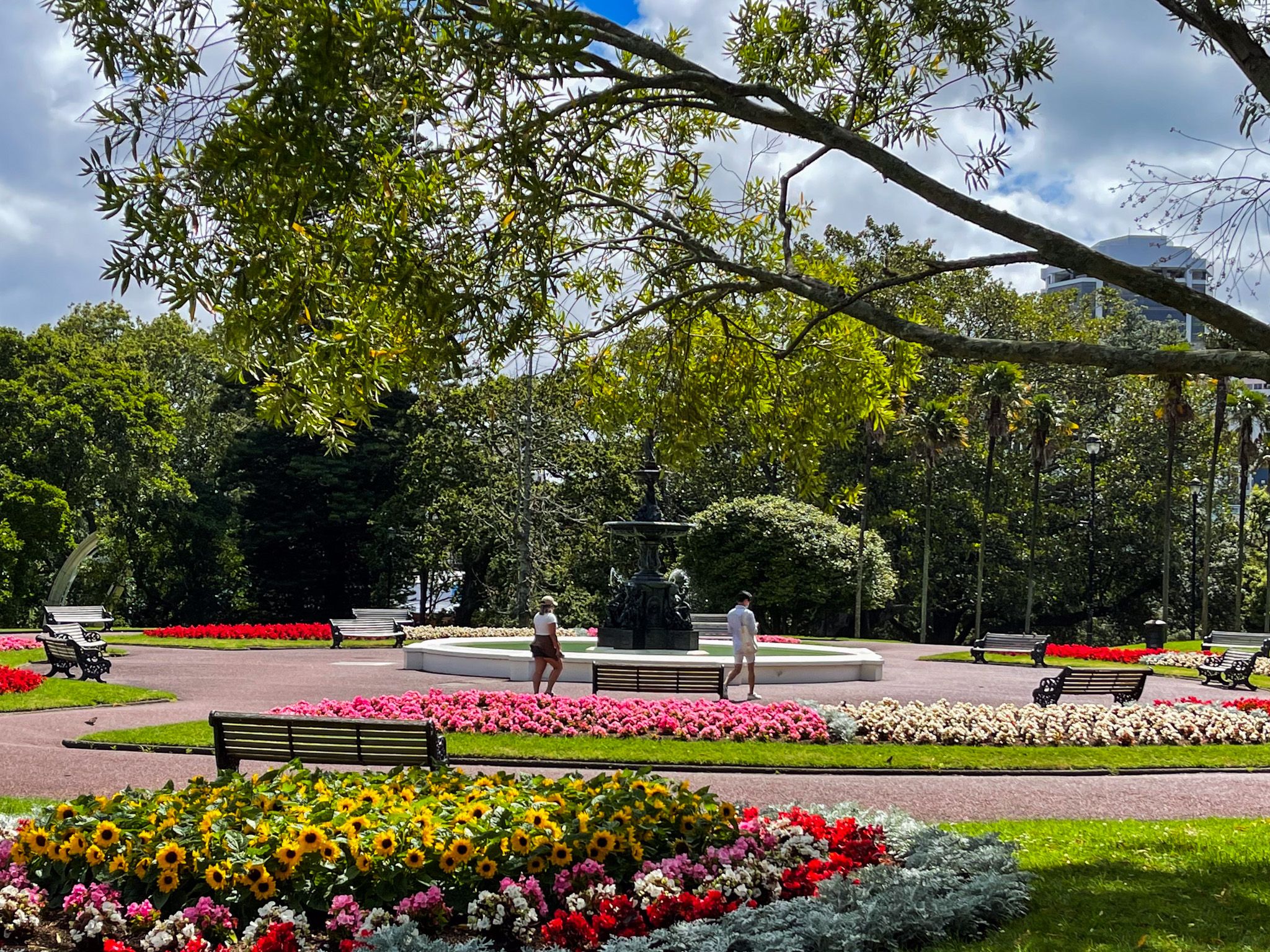
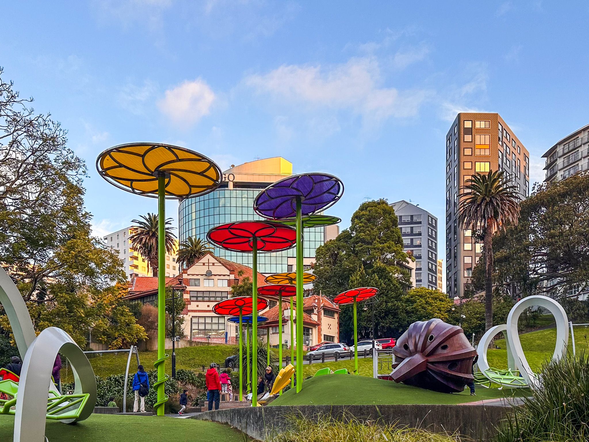
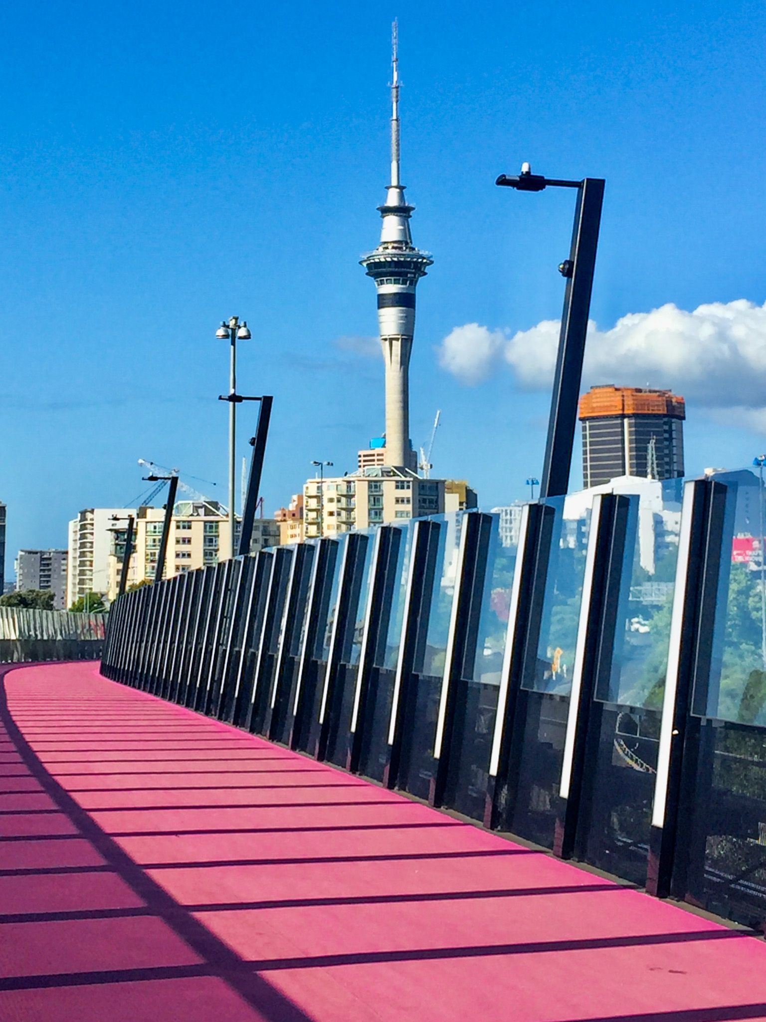
There are several routes, but it is easy to create a meandering loop, taking in the Art Gallery, Albert Park, the University, Auckland Library, the Town Hall and Aotea Centre, and Myers Park on the way up to K Road. On the way back, check out the Lightpath, which starts at the bottom of East Street, off K Rd, and takes you back into Downtown at Union Street. From there, take Hobson Street to the Sky Tower.