Maraetai is an Auckland coastal town 24 km east of Downtown Auckland on the Pōhutukawa Coast. It sits on the Tāmaki Strait with a view north to Waiheke Island in the Hauraki Gulf.
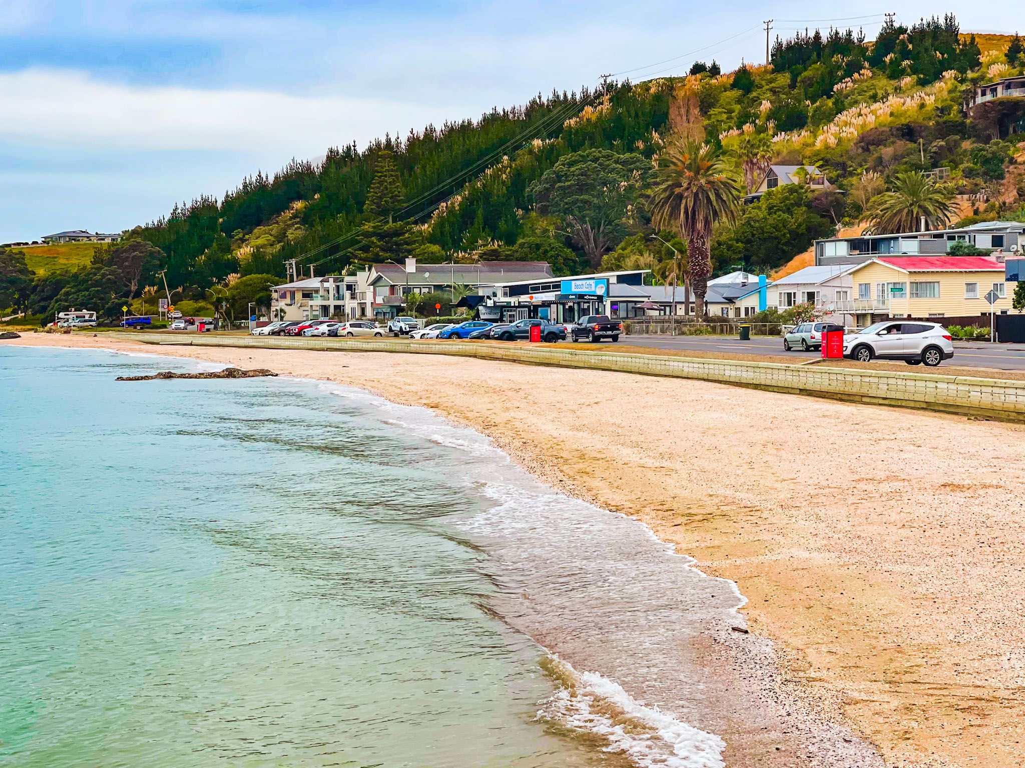
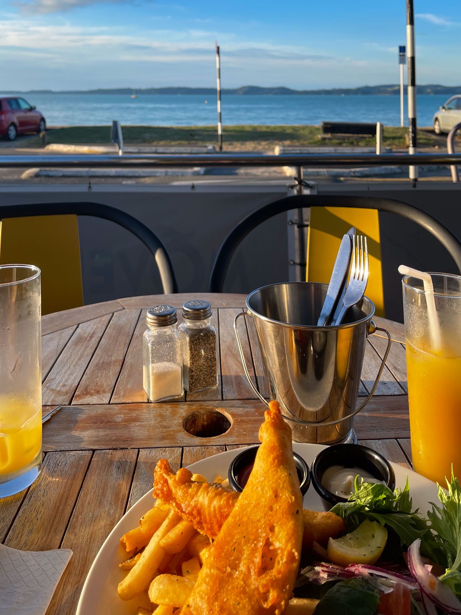
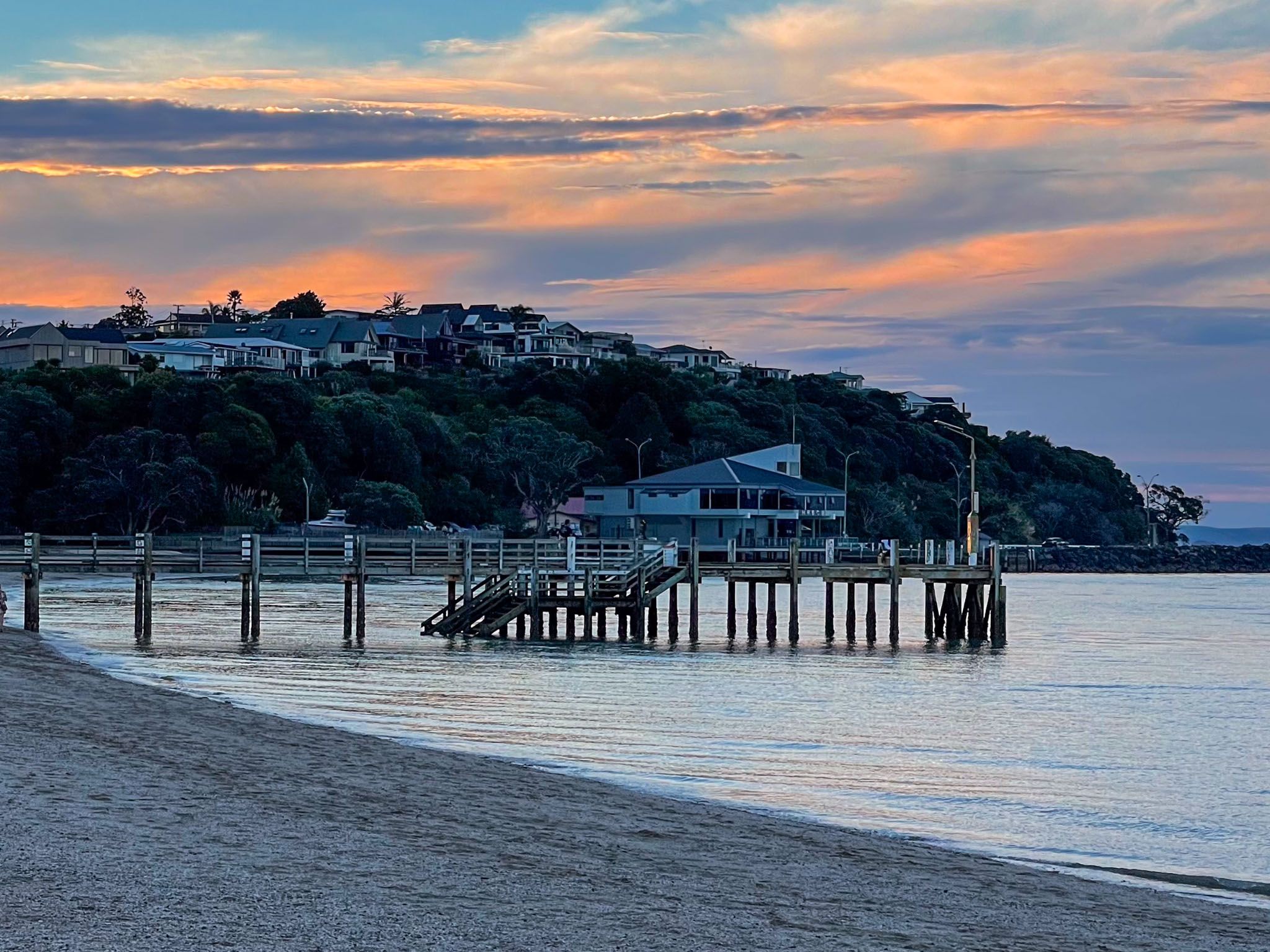
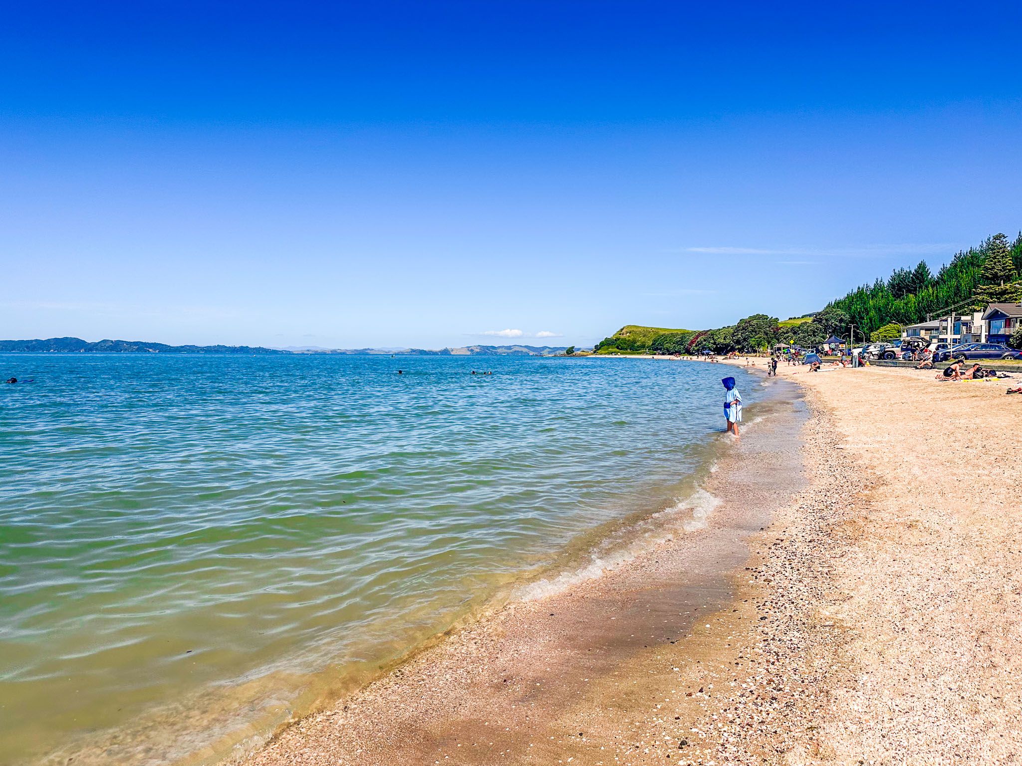
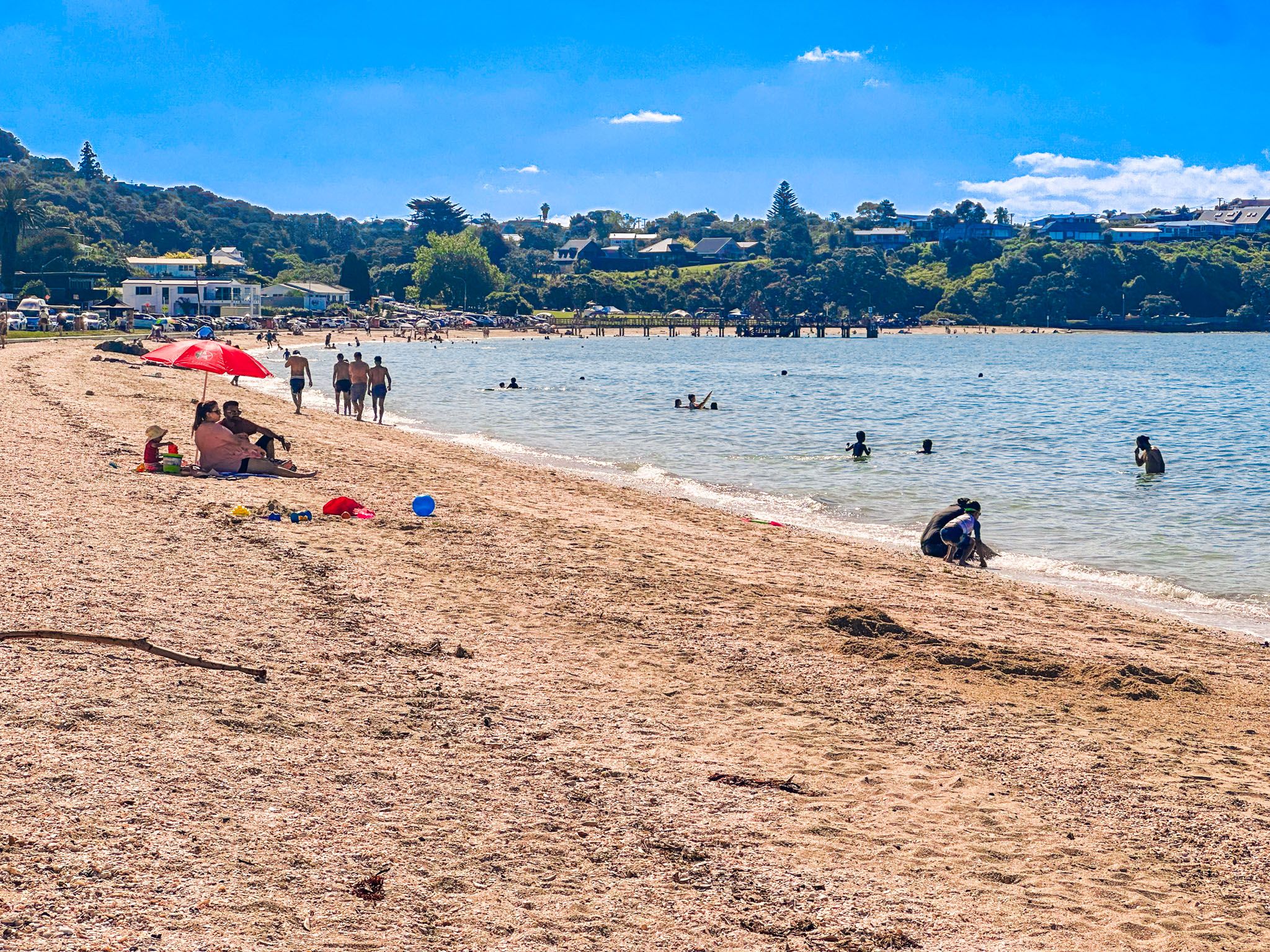
The town's main feature is the beautiful 1 km long golden sand north-facing beach, with a prominent wharf in the middle. The beach is popular in summer as a safe and sheltered swimming location. The main highway (Maraetai Drive, then Maraetai Coast Road) runs the length of the beach along with a shared path that provides easy access. There are also several cafes/restaurants on Maraetai Drive. Although the whole beach is typically called Maraetai, this is the section west of the pier. East of the pier is named Ohinerangi Beach, but there is no real difference.
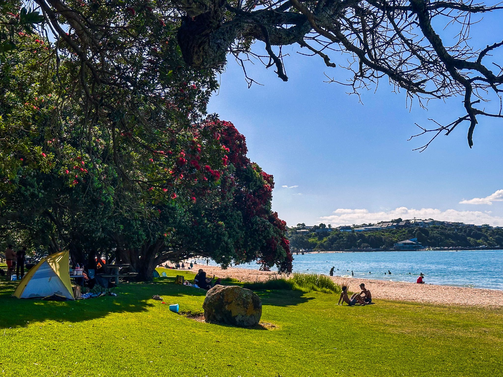
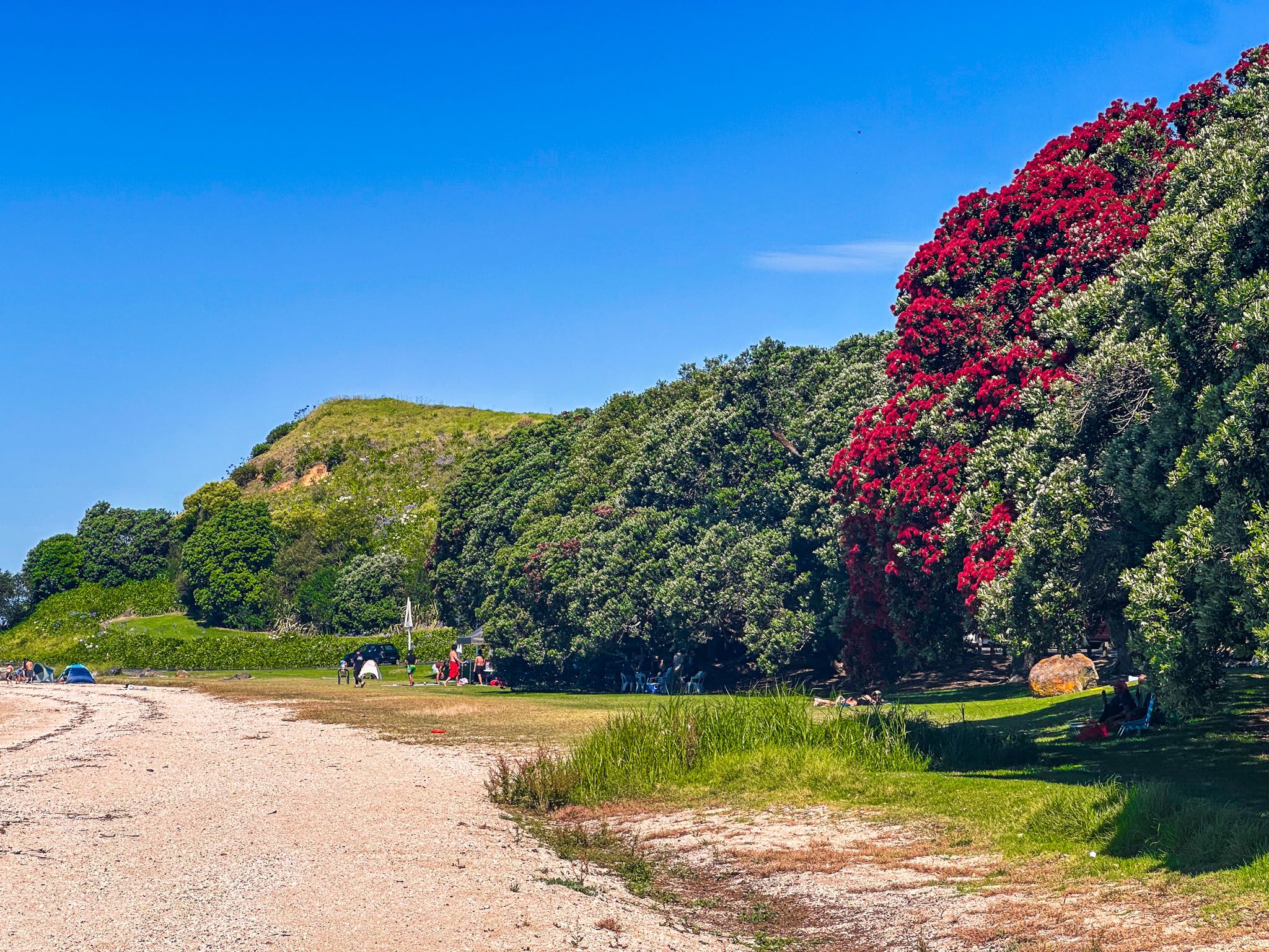
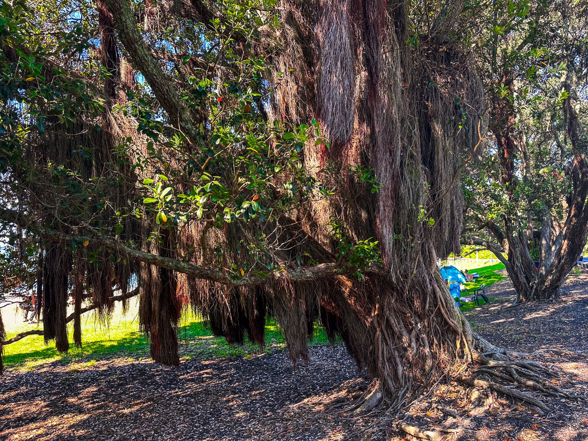
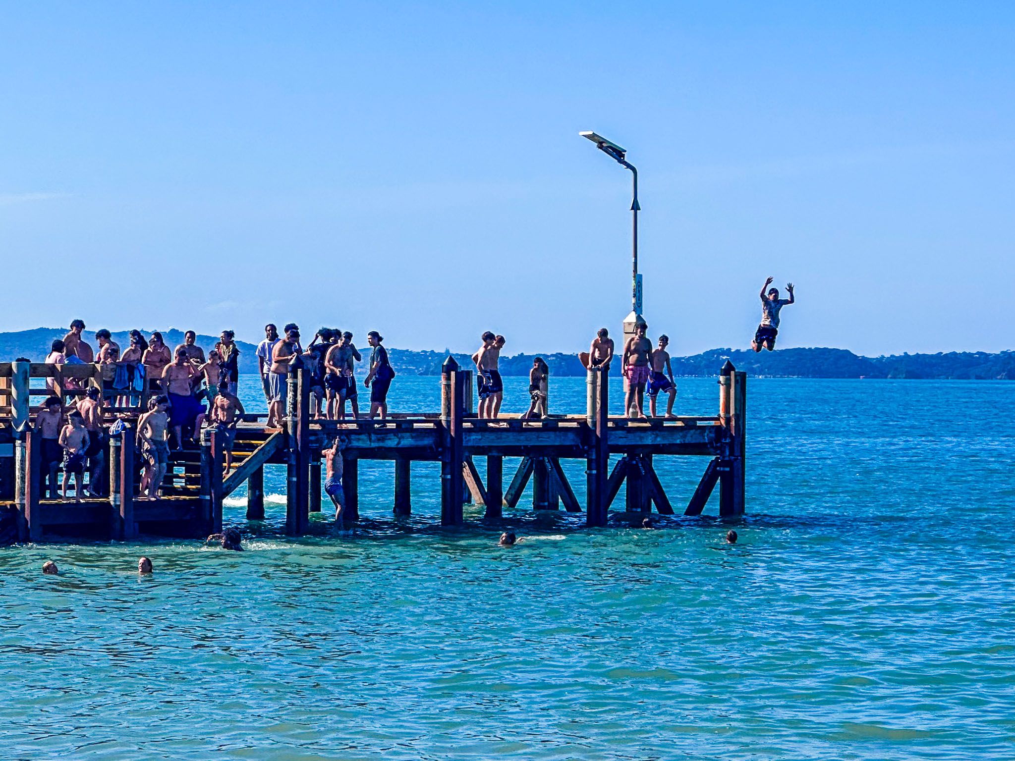
Boating facilities mark the west end of the beach. The Beachlands to Maraetai Walkway crosses the facility and connects with the main road and shared path. At the east end is a sizeable grassed reserve and a copse of mature pōhutukawas trees behind the beach. This provides significant shelter on a hot, sunny day. The wharf is popular for jumping off at high tide. If you feel the urge, take care and ensure the water is deep enough, as there have been serious injuries.
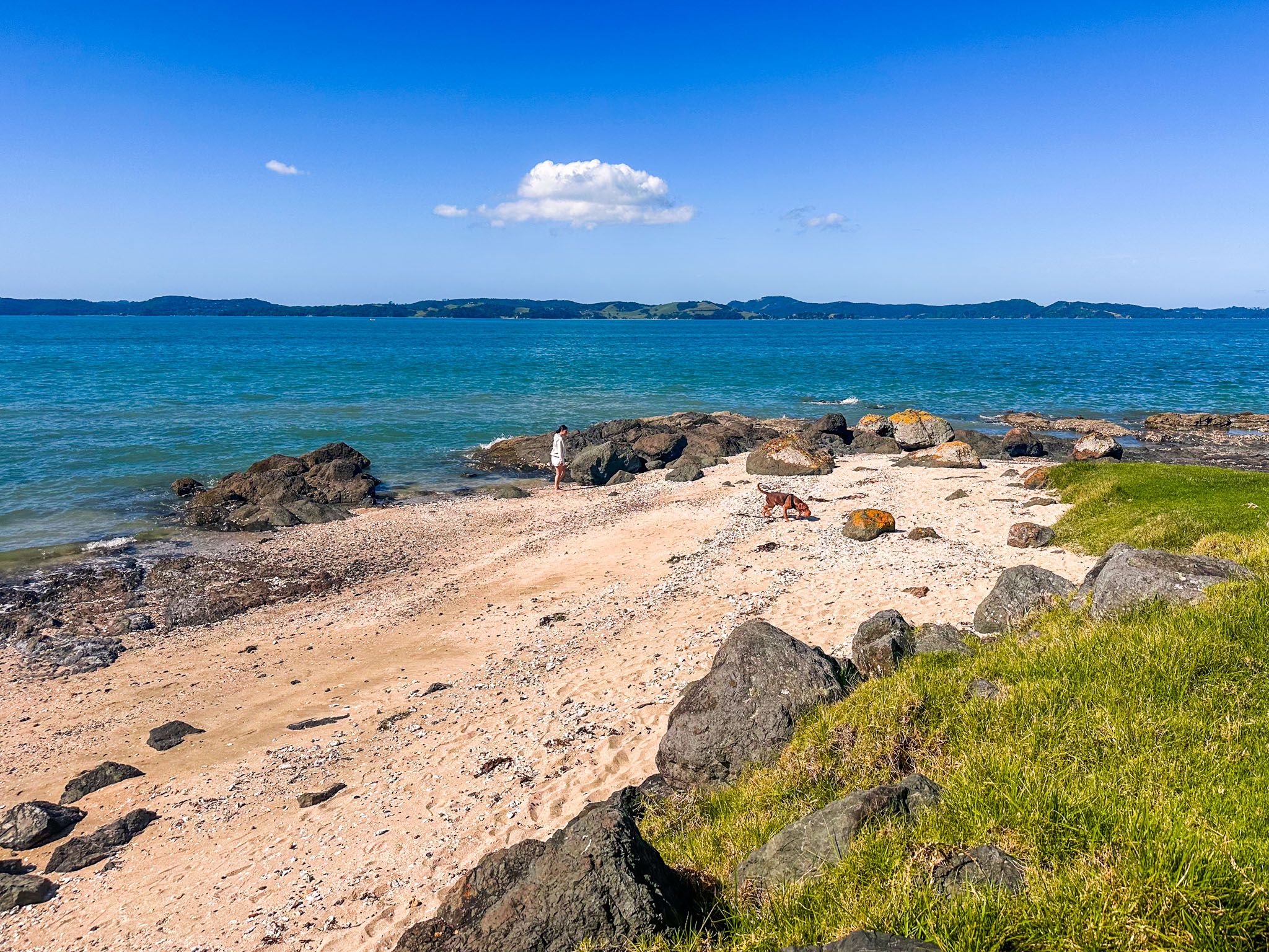
The east end of the beach is bounded by Maraetai Point, with the historic Papawhitu pā site on the hill above the point. Immediately southeast of the point is beautiful Waiomanu Beach and Magazine Bay. These can be reached on the Maraetai Beach Path, an easy walk across the points between the beaches that keeps you off the road.
Maraetai is an important part of the traditional rohe (territory) of Ngāi Tai Ki Tāmaki. The Tainui ocean-going waka arrived in the 1300s at Tūwakamana (Cockle Bay). The name Maraetai means marae enclosed by the tides and was used by Māori to describe the stretch of coast from Tūwakamana to Whakakaiwhara Peninsula. The name reflects how the sheltered ocean of the Tāmaki Strait resembles a flat marae ātea (marae entrance courtyard).
By the 1500s, around 200 people lived in the modern area of Maraetai, based around Papawhitu Pā. From the 1830s to the 1860s, the iwi lost control of most of the land on the Pōhutukawa Coast. Maraetai was eventually sold to European settlers, the kauri forests were removed, and sheep farms were established.
By the early 1900s, the beach at Maraetai had become better known, and it became a popular day-tripping picnic and holiday spot. During the 1920s, Maraetai and next door Ōmana Beach were subdivided and sold. Development has progressed between Beachlands and Maraetai, and now they feel more like suburbs of Auckland than holiday places. The beach is a popular destination for Aucklanders and can be crowded on summer holidays and weekends.