Duder Regional Park is located on the Whakakaiwhara Peninsula and marks the eastern end of the Pōhutukawa Coast. The park is 162 hectares and is one of 28 regional parks throughout Auckland. Umupuia Beach is to the west of the park. The main access to the park is off North Road, which connects Maraitai Coast Road to Clevedon. There is a car park, information panels and space for up to five camper vans to stay overnight. Two houses at the end of Maraetai Coast Road can also be booked for stays. A campsite at Te Wharau Bay supports the multi-day Te Ara Moana kayaking trail. You can also access the park on foot from the road end.
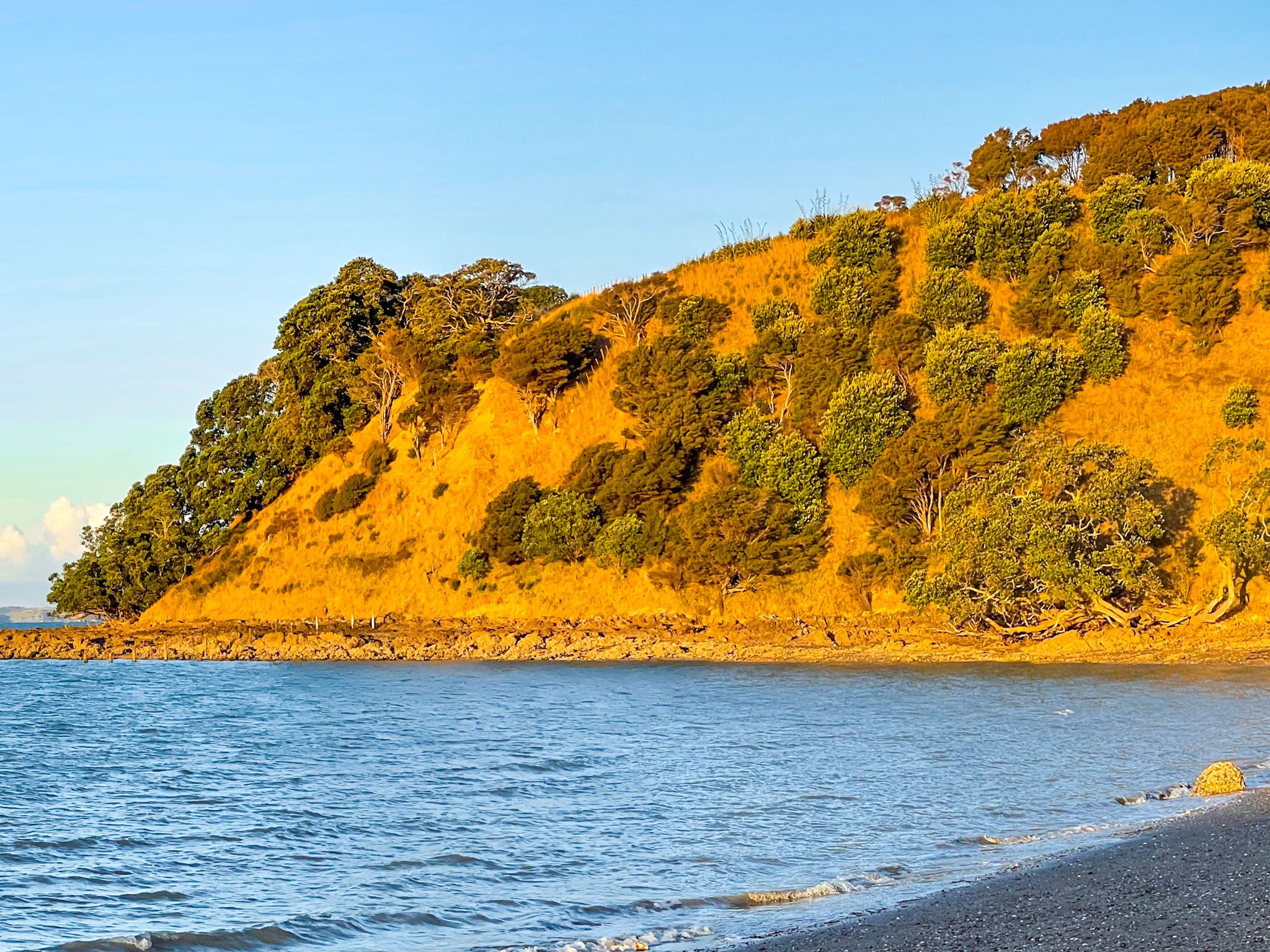
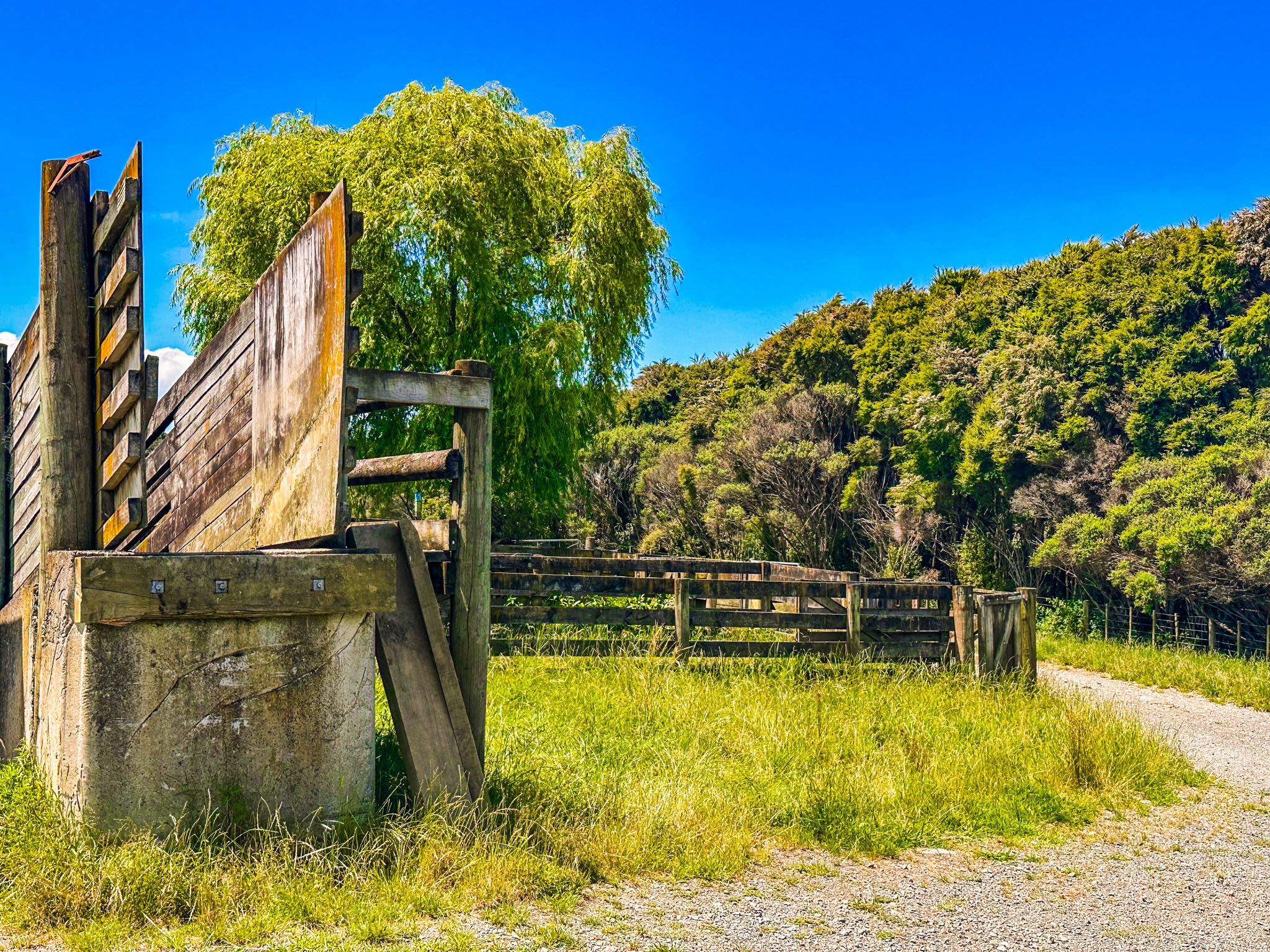
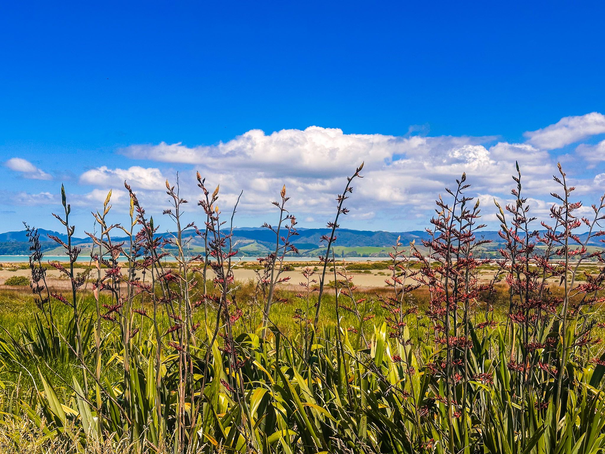
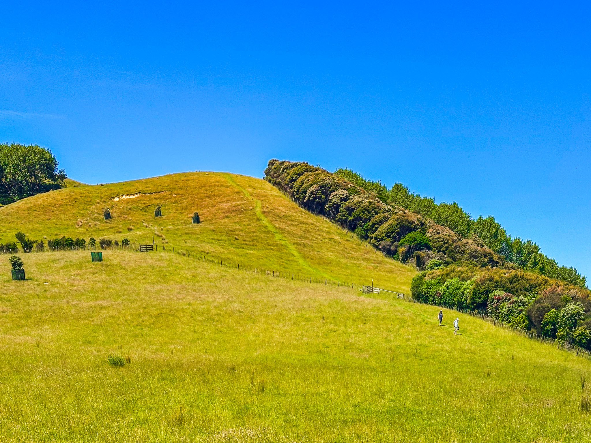
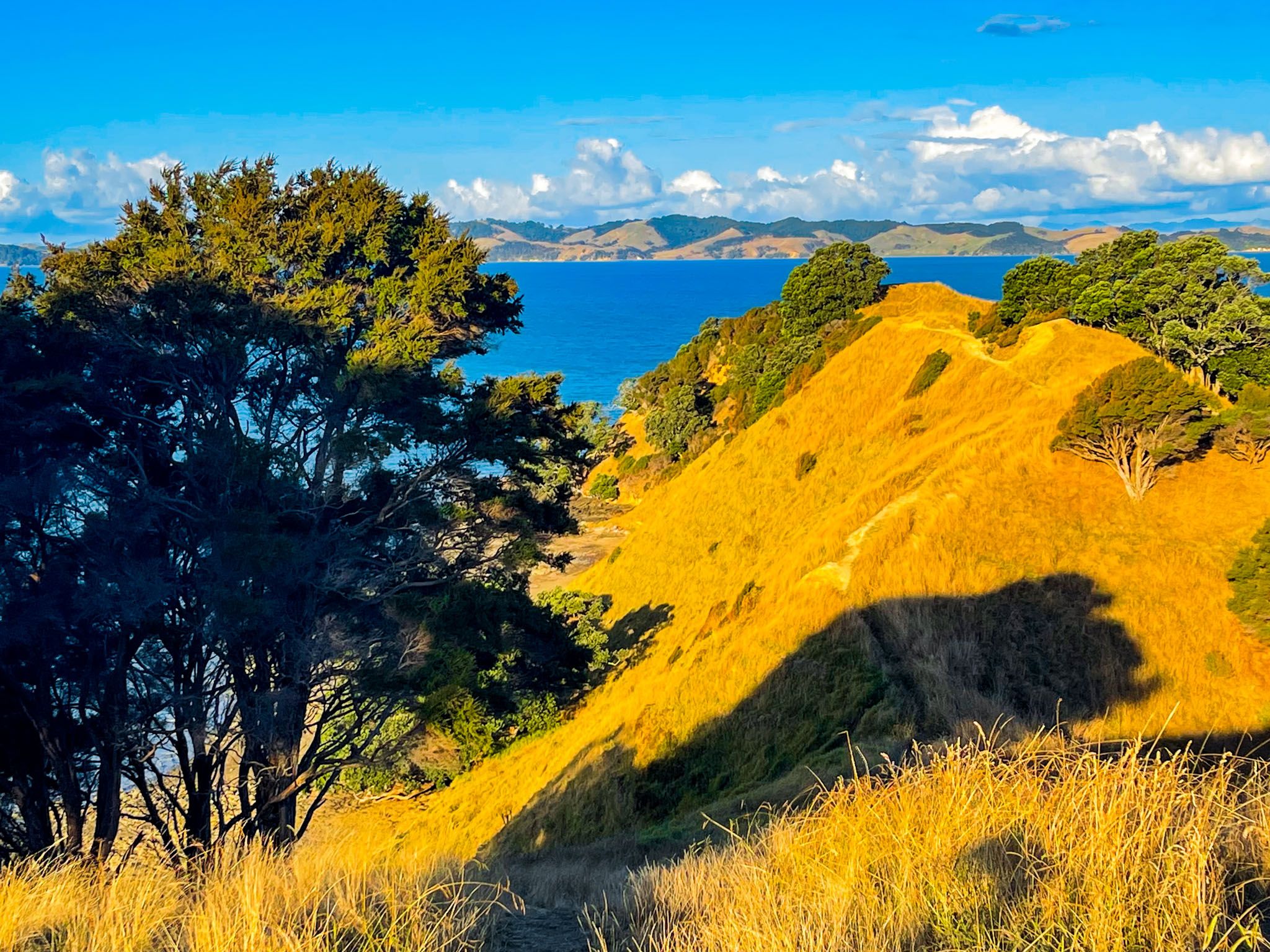
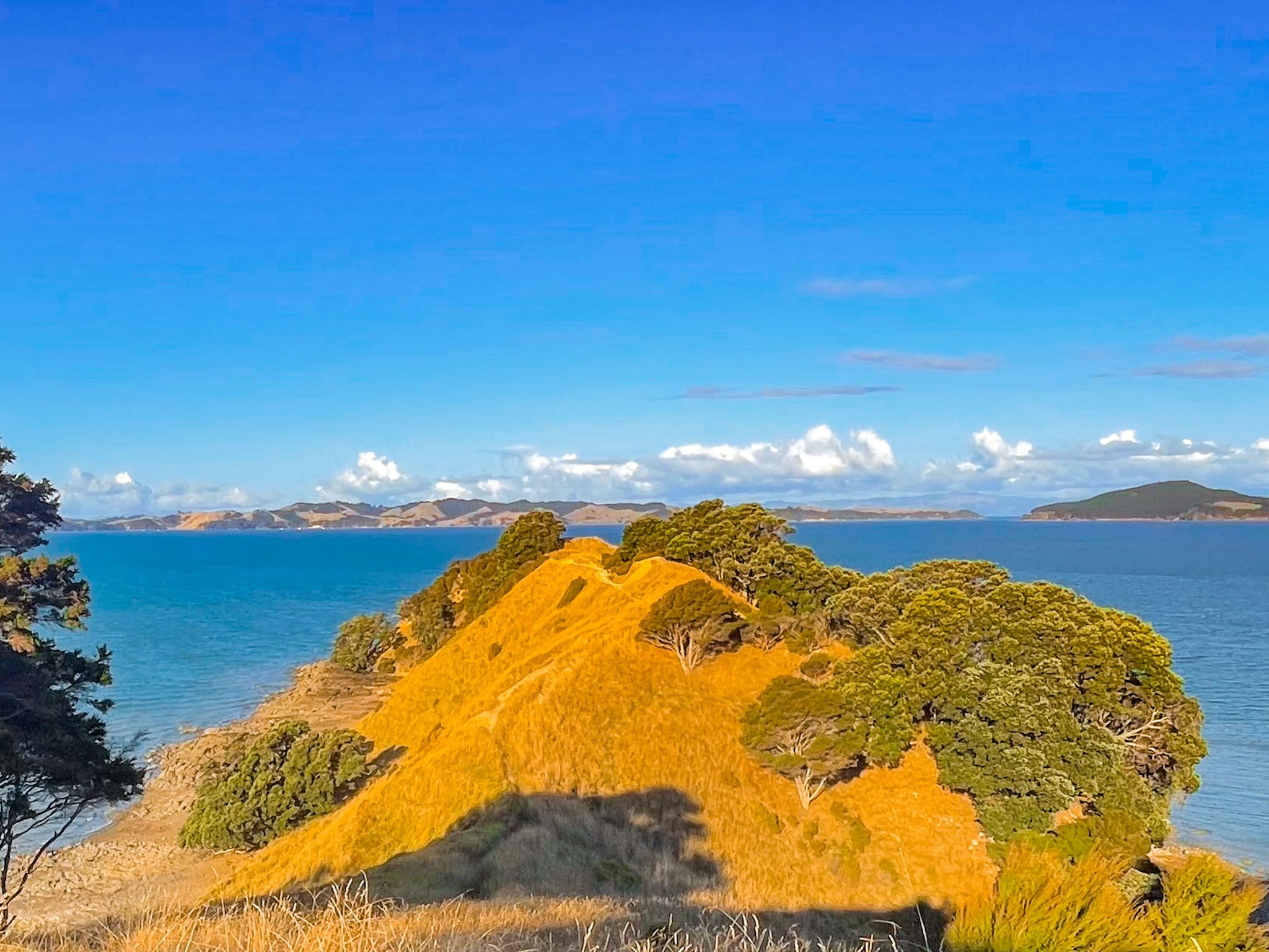
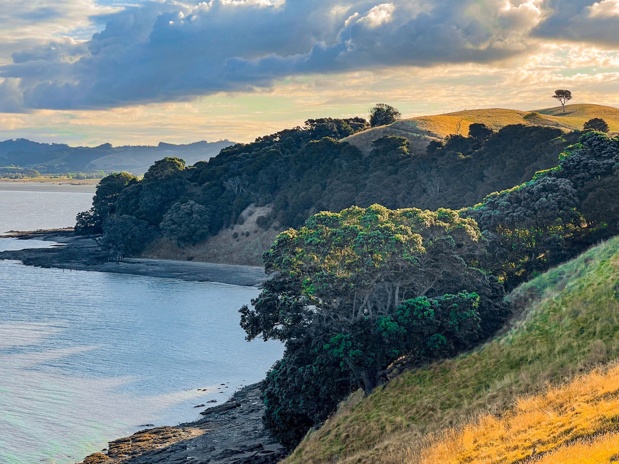
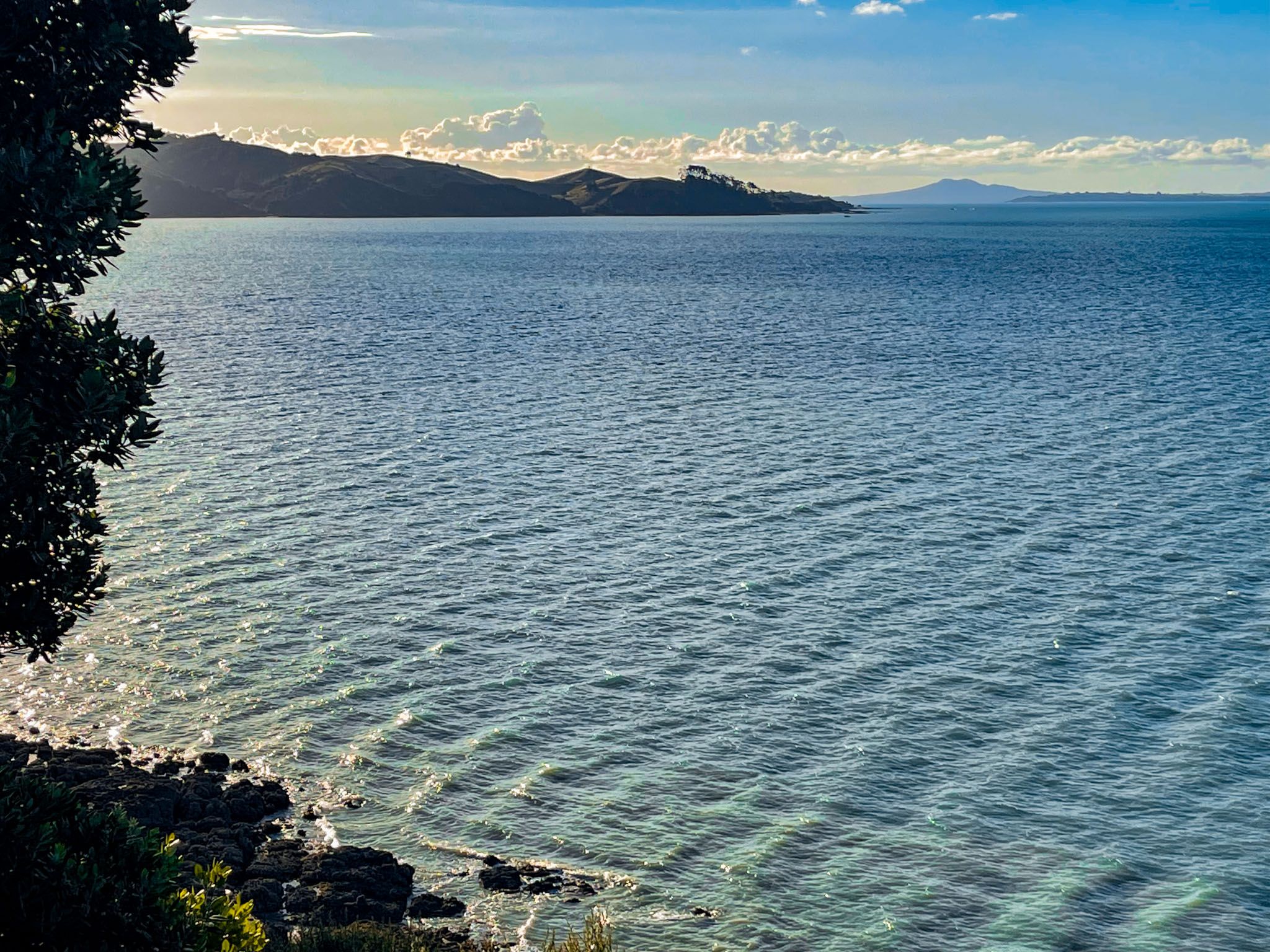
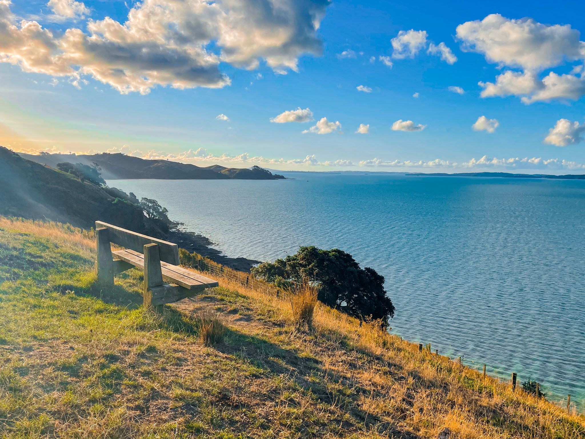
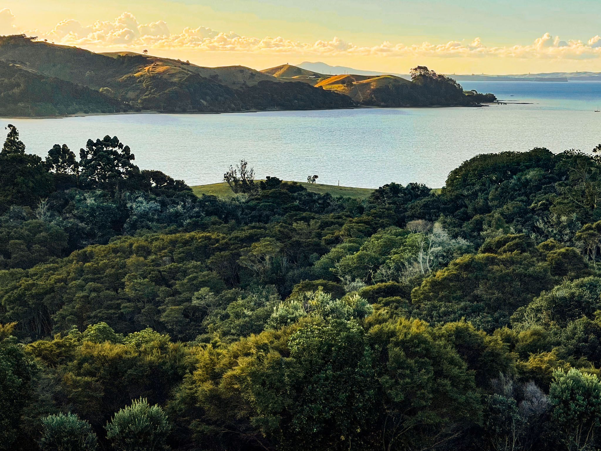
The park is dominated by steep grassed hills that roll to the northeast along the peninsula. It is a working sheep farm with public access through a network of tracks. Because of the open high hills, the views from the tracks across the Tāmaki Strait to the various islands of the wider Hauraki Gulf are superb. Take the Farm Loop or the Sustainable Track (also a loop) from the main car park, which gets you onto the top of the hills in 20 to 30 minutes.
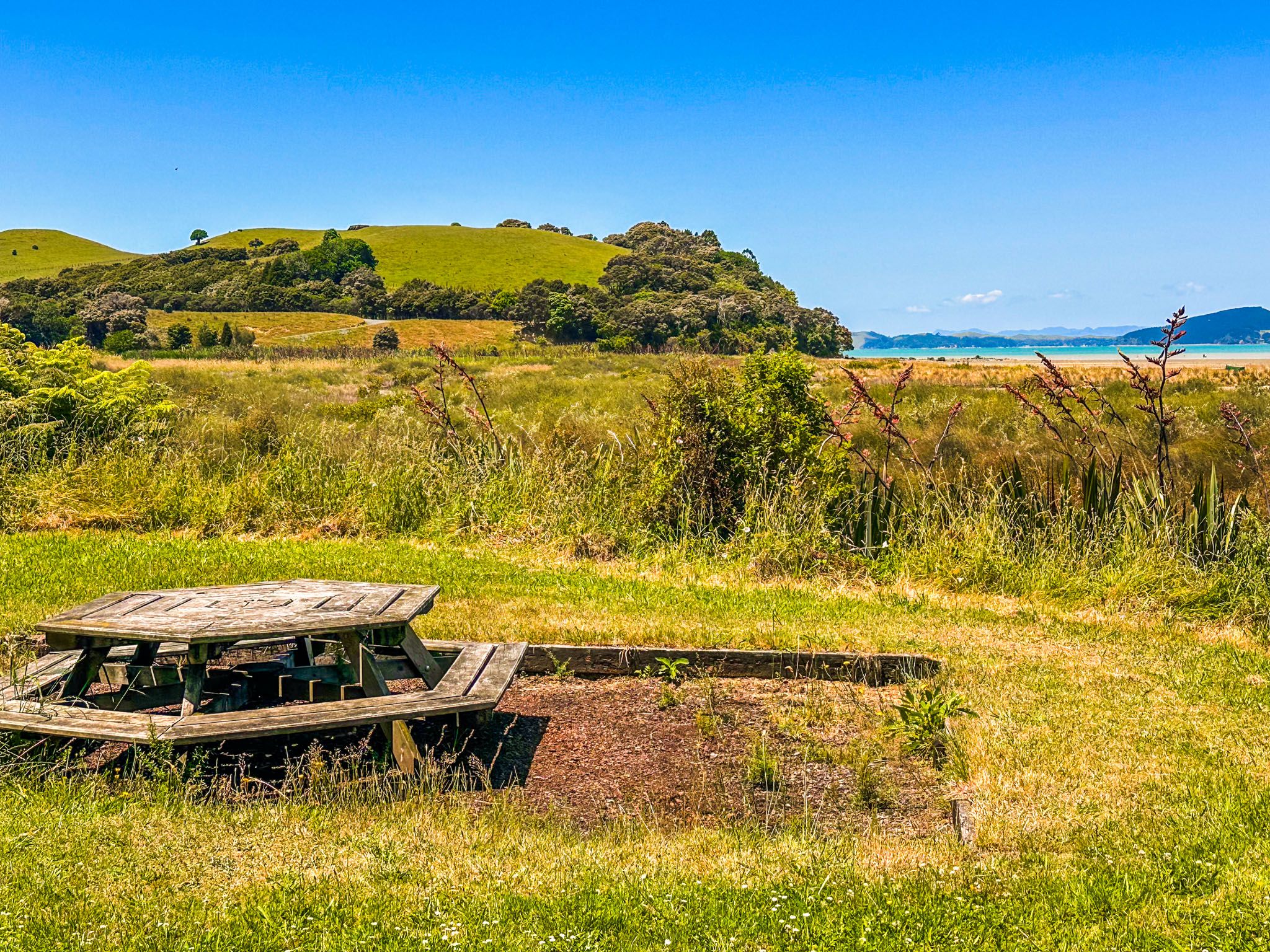
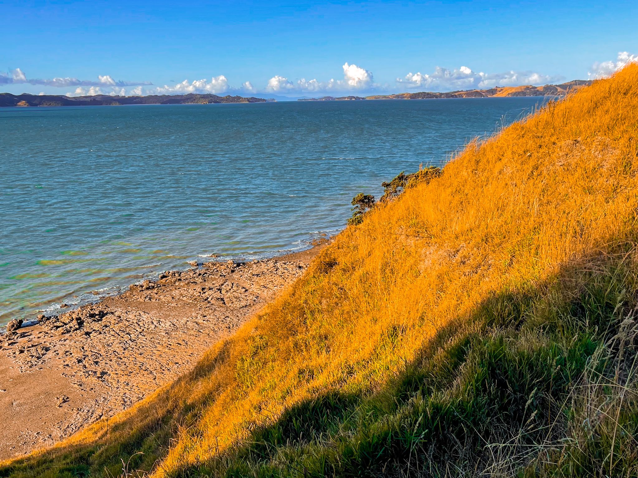
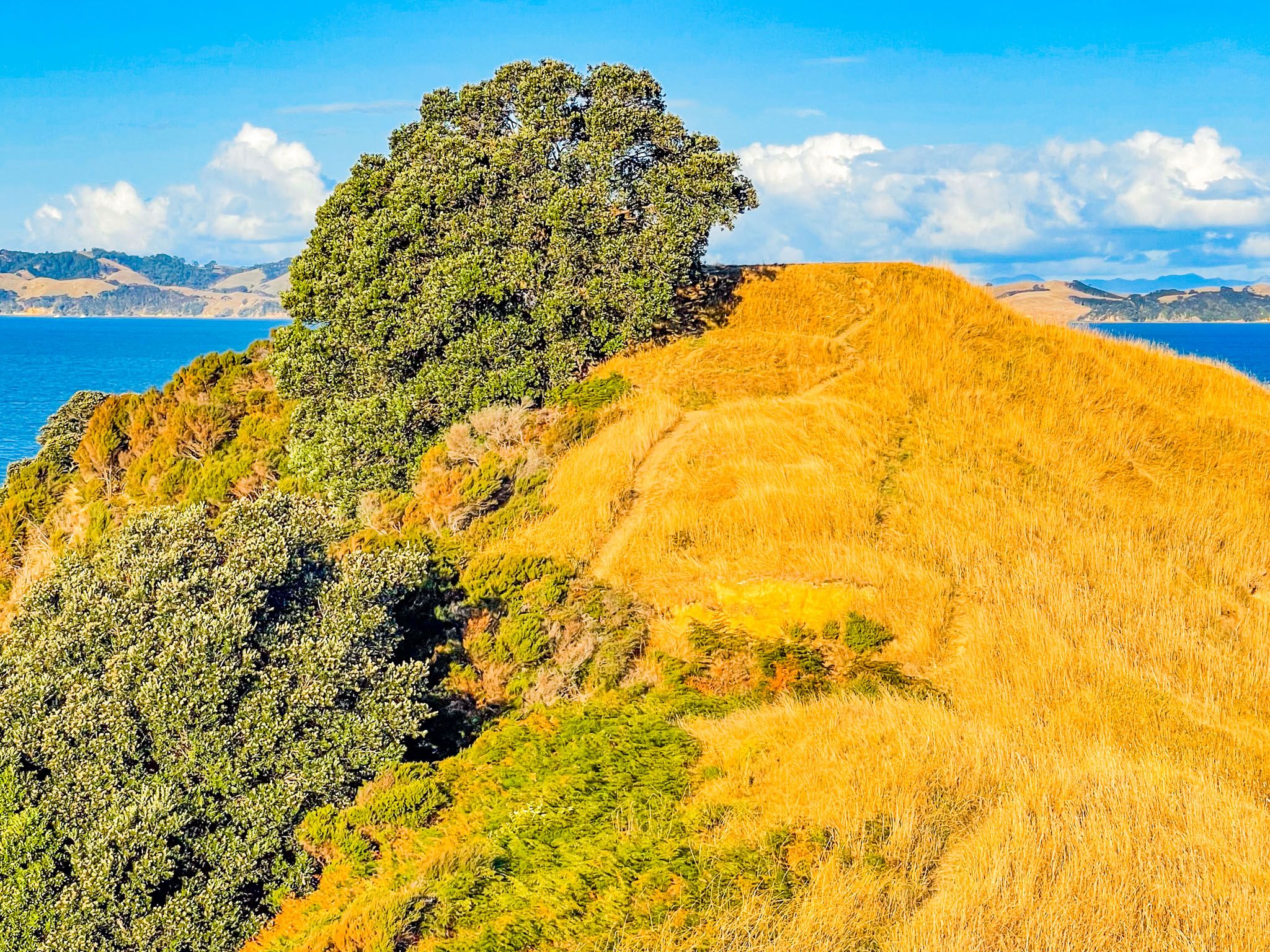
You can also get to the best beach on the southeast side of the peninsula on the Te Wharau Bay Walk (45 minutes each way). There is a campsite there that supports Te Ara Moana kayak trail. The spectacular steep ridge at the tip of the peninsula on the Whakakaiwhara Pā Walk is accessible from the Te Wharau Walk and the main loop tracks.
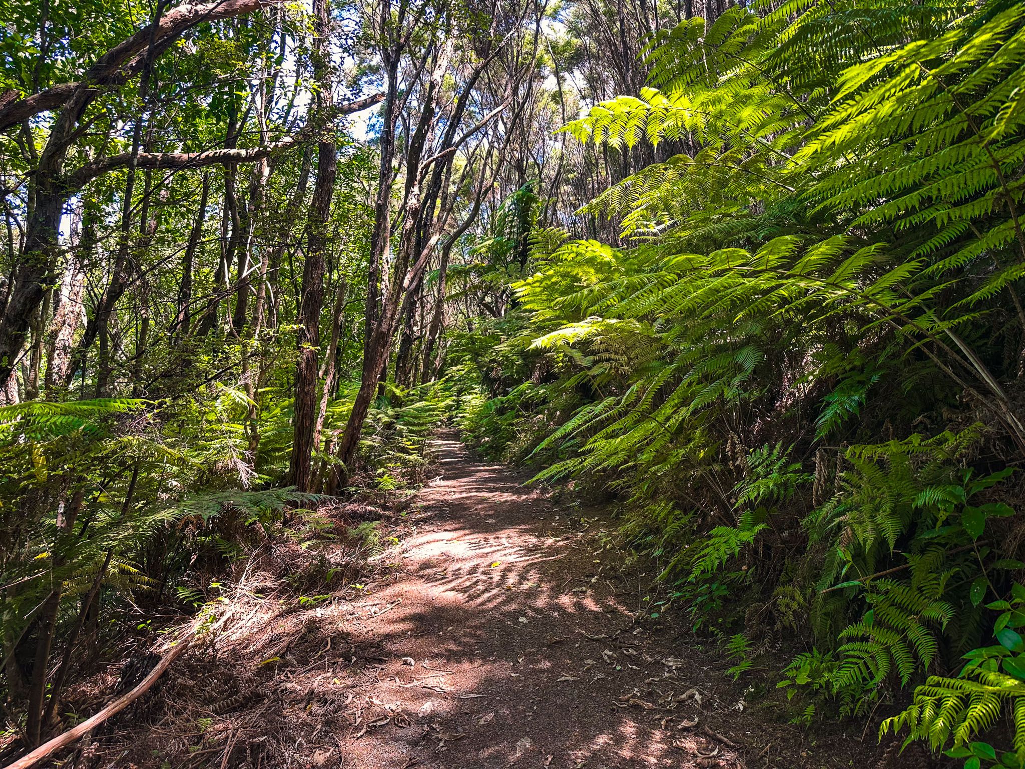
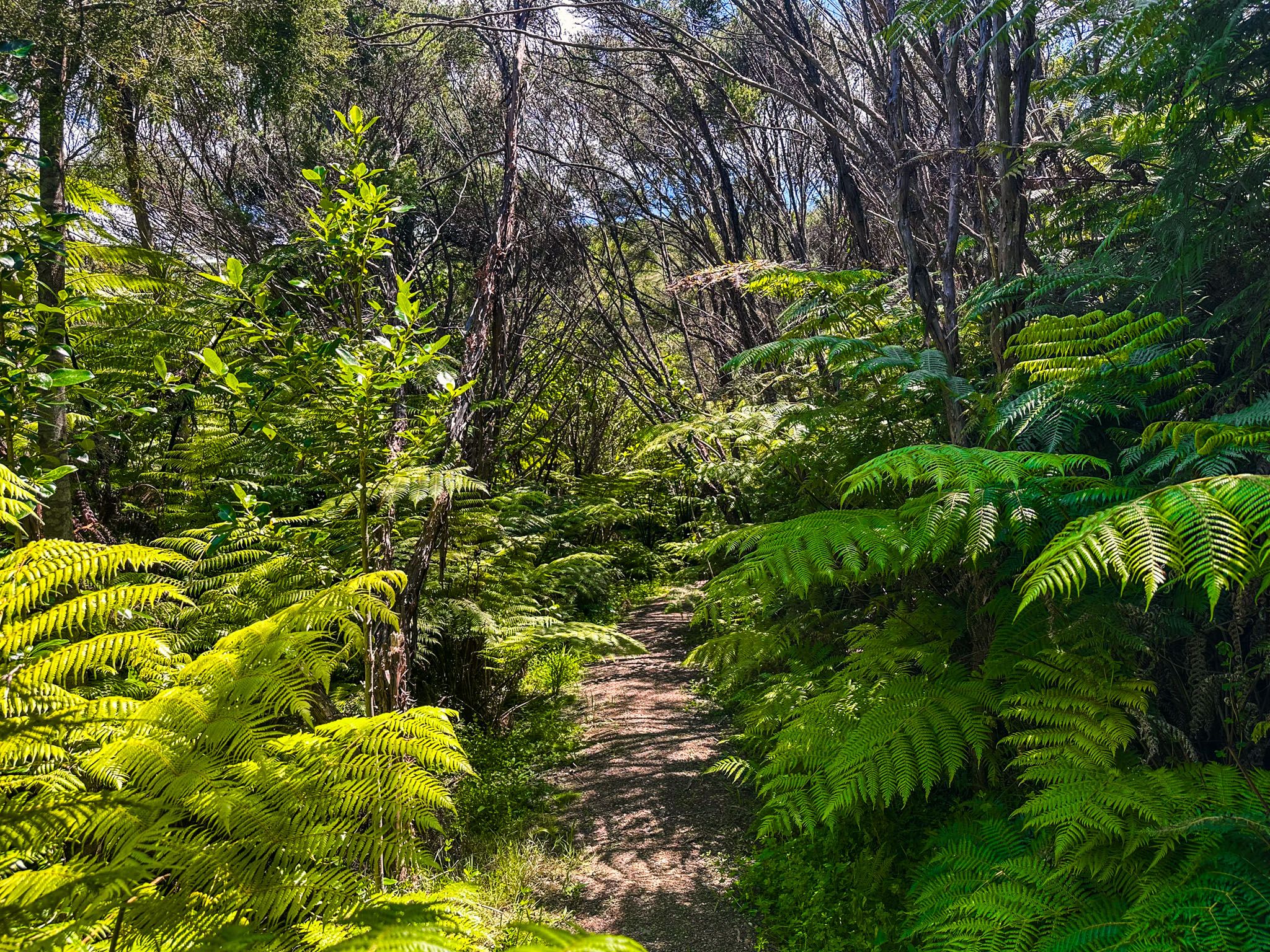
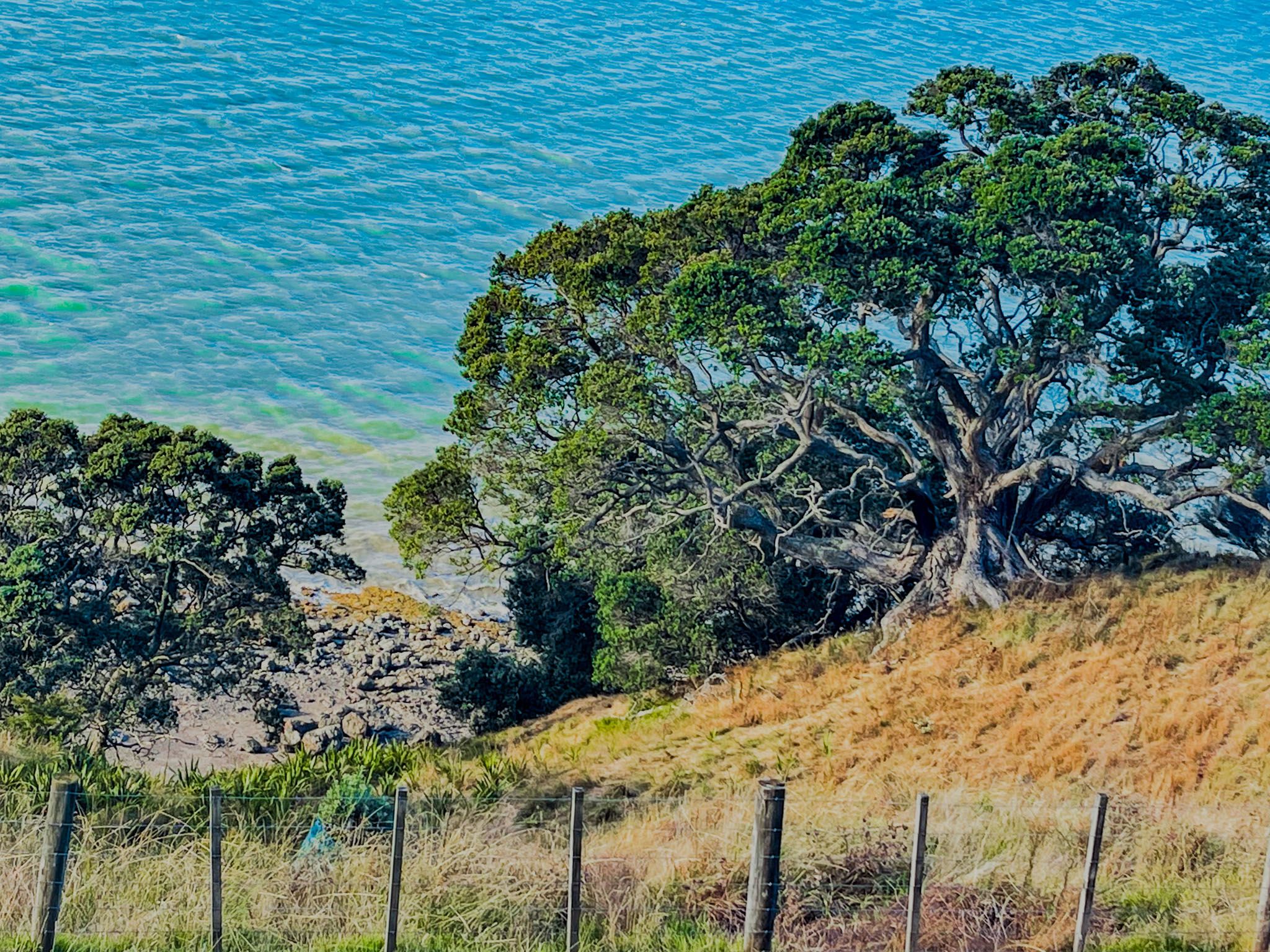
There is some recovering forest in several gullies and around parts of the coast. The Sustainable Track provides access through one of the gullies. The forest includes some kauri, which was a feature of the peninsula and the wider area before the arrival of Europeans.
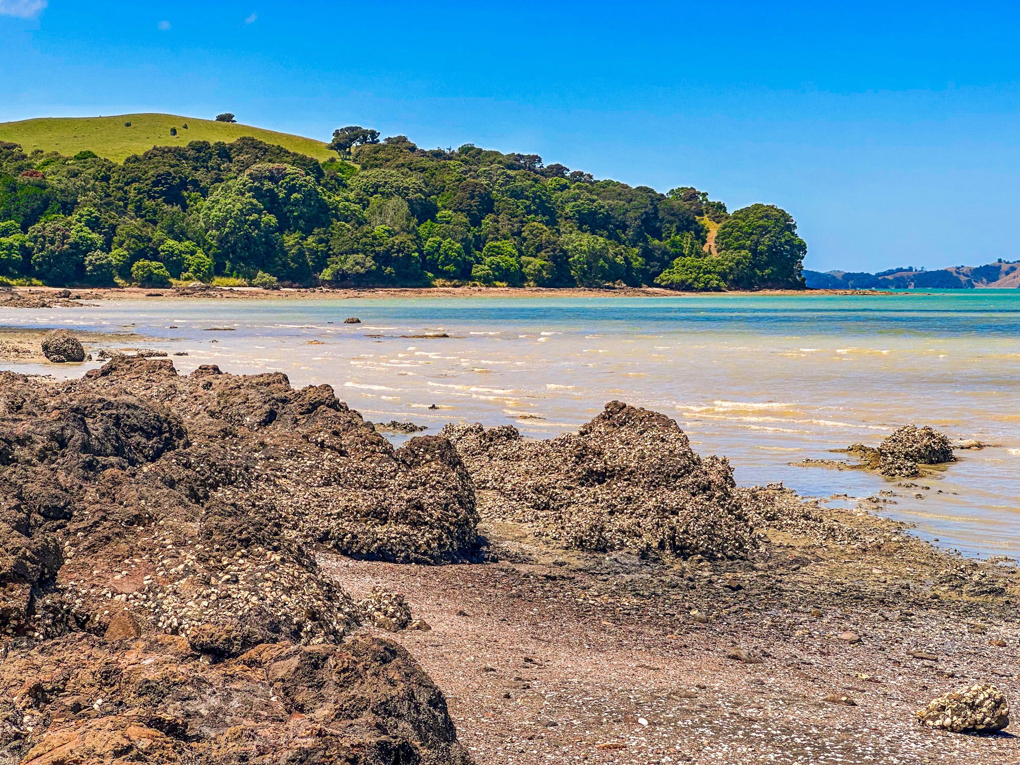
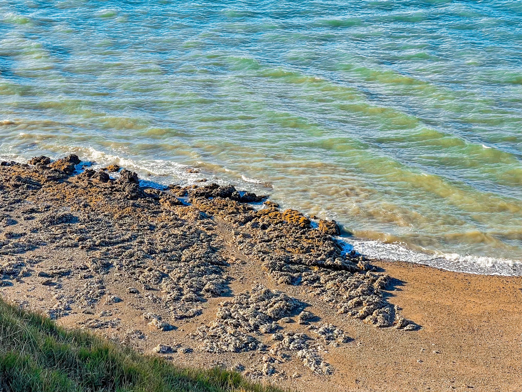
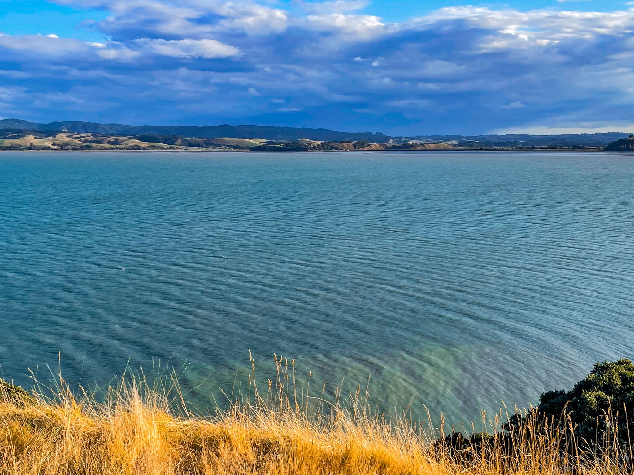
If you take the farm road from the main car park (part of the loop tracks and provides access to Te Wharau Walk), you will see extensive tidal mudflats and shell banks that are a habitat for migratory birds. Access to this area is not permitted.
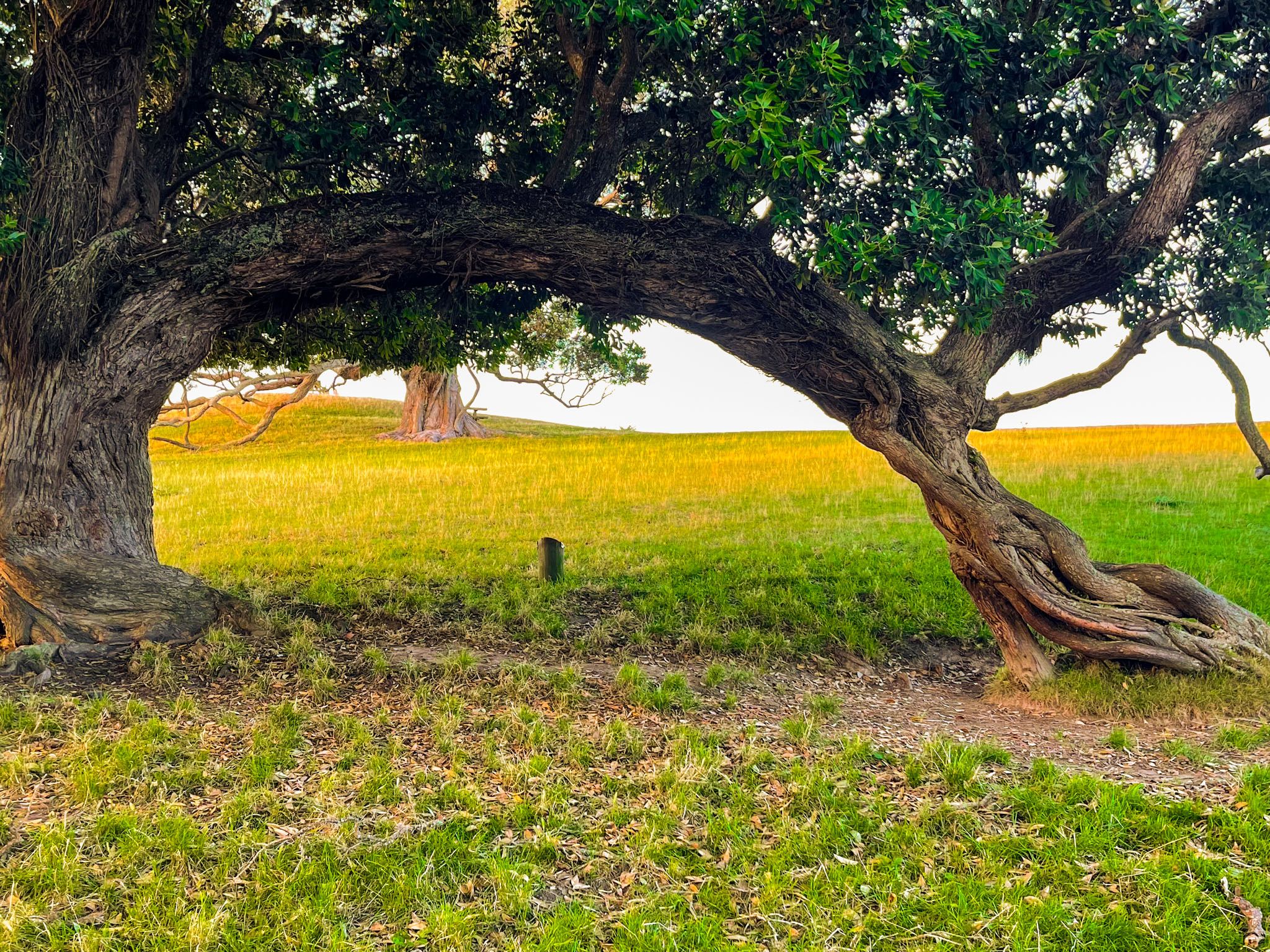
The peninsula was first visited by the Tainui waka in the 1300s. The name Whakakaiwhara arose when the crew went ashore to eat tāwhara, the edible flowers of the kiekie vine. One crew member, Tāne Whakatia, also planted a karaka berry, which grew into a significant karaka tree called Huna ā Tāne. It’s no longer there, but it is believed to have led to the many karaka trees on the peninsula.
Some crew elected to stay, eventually becoming Ngāi Tai ki Tāmaki iwi. By the 1600s, Whakakaiwhara Pā at the tip and Te Oue Pā, south of the peninsula towards the Wairoa River mouth, were the centre of iwi life. Seasonal activity throughout the Pōhutukawa Coast provided wider access to resources. By the 1800s, after contact with Europeans, the rangatira of Ngāi Tai moved to Umupuia. The iwi was displaced by the Musket Wars in the 1820s but returned in the 1830s.
Over the next 30 years, the iwi presence on the coast was gradually confined by land sale transactions and government actions to the area around Umupuia, Maraetai and the Whakakaiwhara Peninsula.
In 1865, the new Land Court divided the Ngāi Tai Native Reserve into ten individual blocks, and the iwi decided to sell most of the blocks, including the peninsula. In 1866, rangatira Hori Te Whētuki sold the peninsula to Thomas Duder. Duder was a former boatswain who had emigrated to New Zealand in 1840 after a shipwreck. The Duder family developed the flatter areas at the southwest end of the peninsula, with assistance from the local iwi, as a sheep farm and orchard. The farm lowlands were converted to dairy during World War I.
The peninsula was largely untouched until the 1930s, when most of the scrub and forest were removed, fences were built, and the grass was planted. In 1942, the Air Force decided to develop an underground seaplane base on the peninsula. Although this never occurred, it was used as a rocket range for training!
The Duder family continued to operate the farm until they sold it to Auckland City in 1995, forming the park. A further 13.7 hectares were added in 2010 to prevent coastal development from obstructing views from the park.