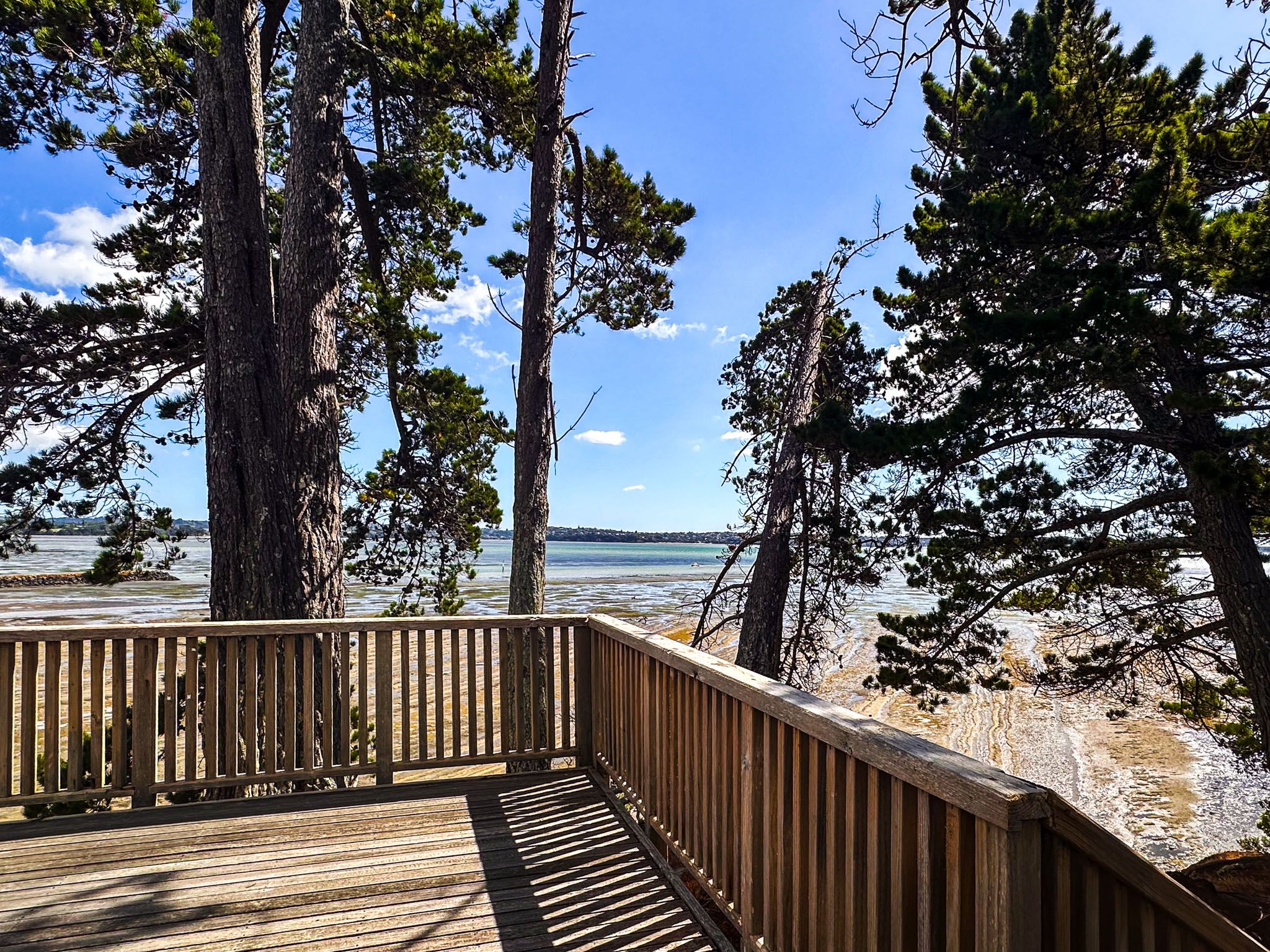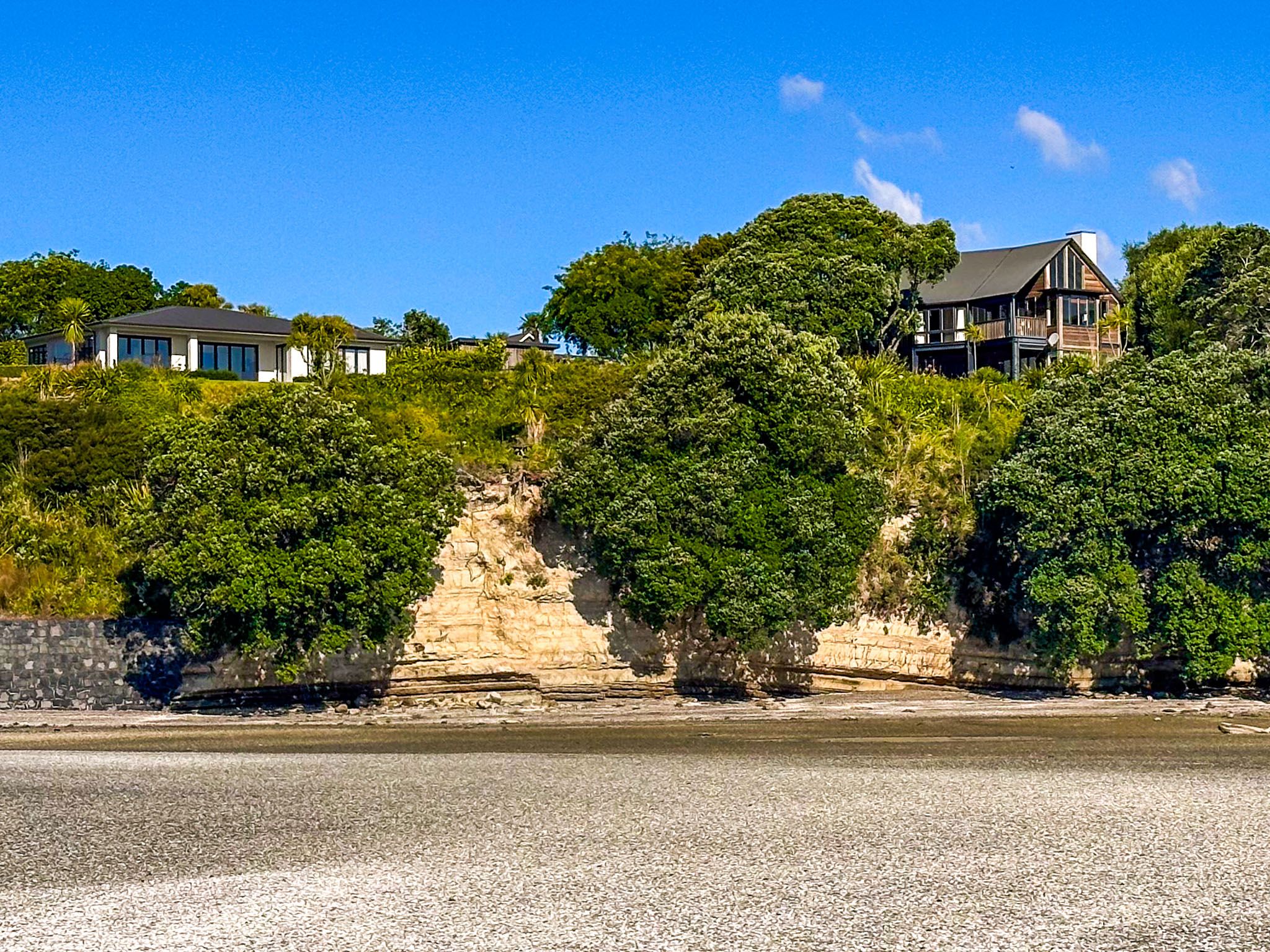
Beachlands is a coastal suburb of Auckland on the Pōhutukawa Coast, between Whitford and Maraetai. It sits on a high cliff-bound point facing the Tāmaki Strait and Waiheke Island, with a large tidal estuary created by three creeks, Mangemangeroa, Tūranga, and Waikopua, to the west.
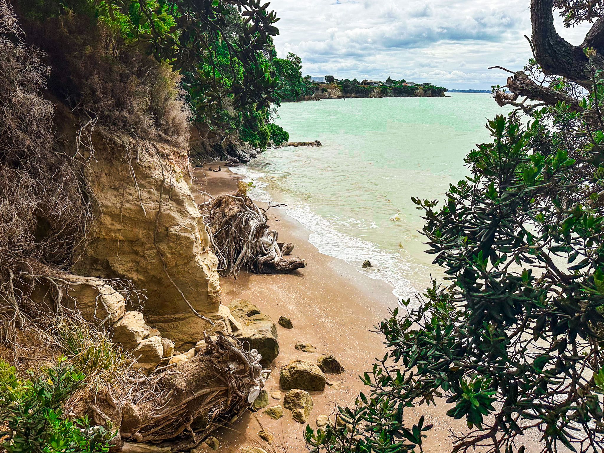
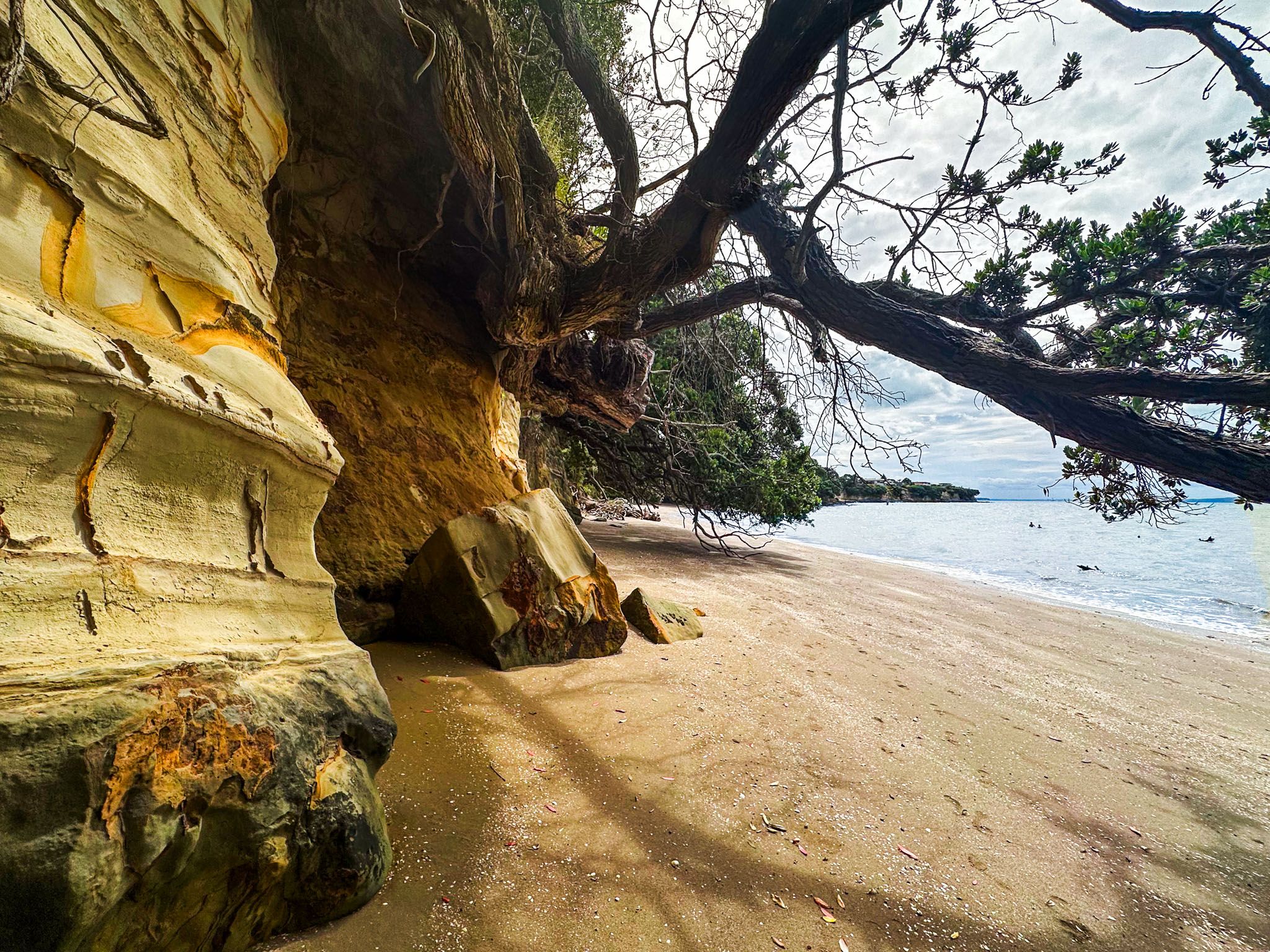
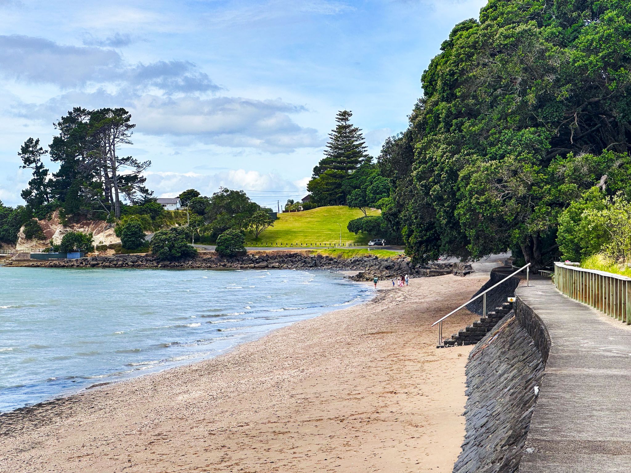
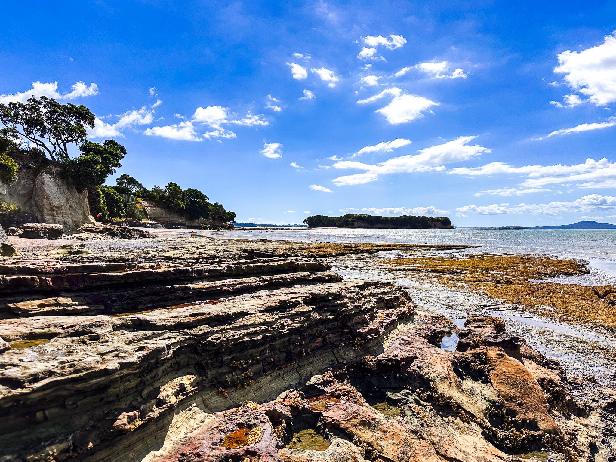
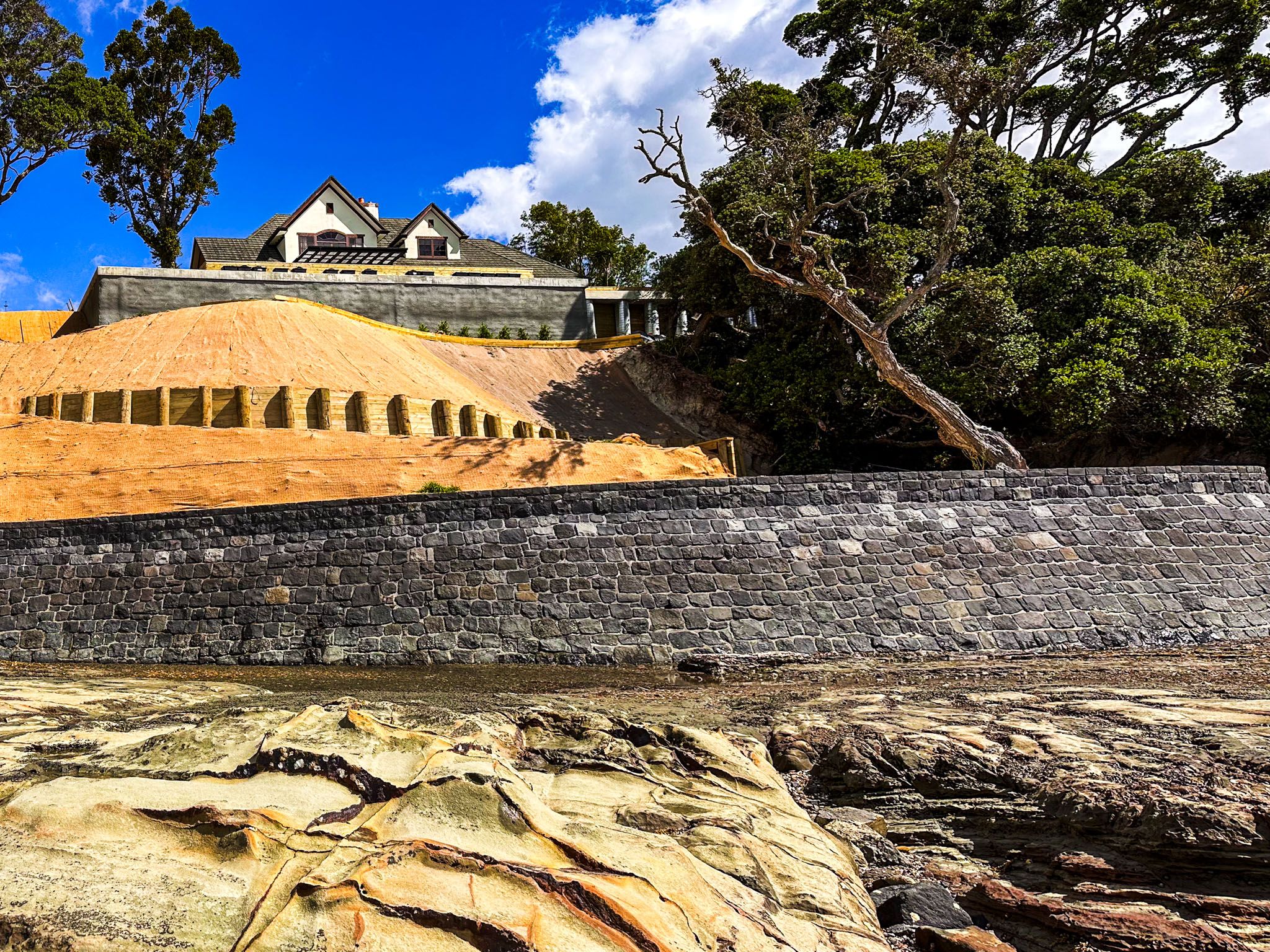
Sunkist Bay and Shelly Bay are two attractive beaches between the cliffs towards the western end of Beachlands. At the northwest corner of the coast is Motukaraka Island, a fascinating island that can be reached at low tide across a sandbar. At the eastern end of Beachlands, the coast is dominated by the extensive Leigh Auton Reserve. Pine Harbour, with its marina and terminal for the ferry to Downtown Auckland, is inside the estuary on the west side.
The Māori name for the area is Kahawairahi due to the heavy presence of kahawai fish. The area was a significant settlement for Ngāi Tai into the early colonial era. A pā, Te Kawau, dominated the headland between Sunkist Bay and Shelly Bay, and the surrounding region had significant gardens, with many examples of middens, pits, and terraces. Motukaraka Island had a pā and kūmara gardens, and the surrounding waters were an important shark fishing ground. There was also a substantial kauri forest called Kauriwhakiwhaki. The wood was harvested to construct waka (canoes), and kauri gum was used for making kapoa, a traditional chewing gum.
Following a mix of land sales and government actions from the 1830s to the 1860s, Ngāi Tai iwi lost their traditional food sources, and resources were lost to the iwi as European settler farming expanded. Beachlands remained farmland until the 1920s when Richard Kipplewhite subdivided the land to promote a “new marine garden suburb" of Auckland.
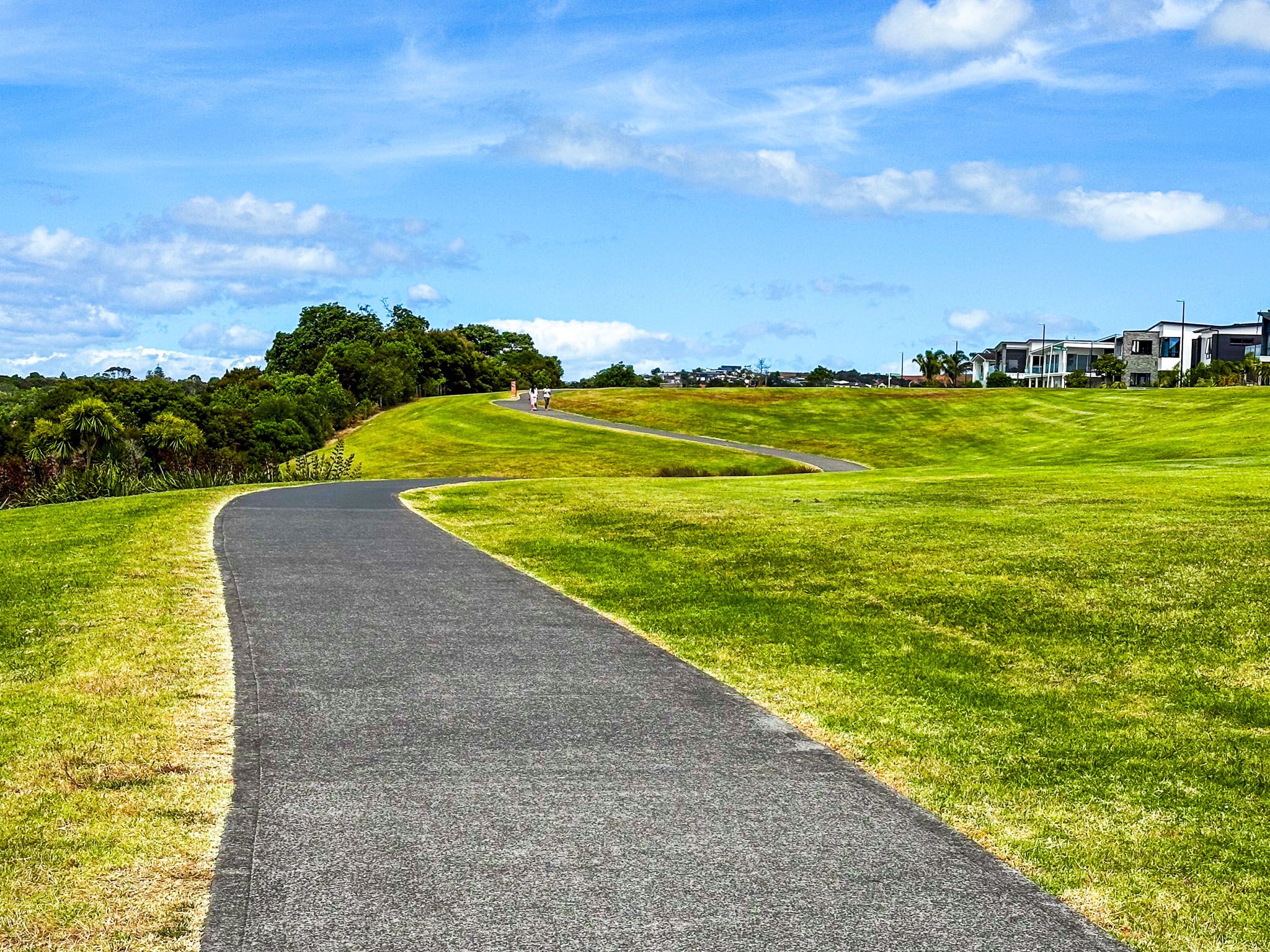
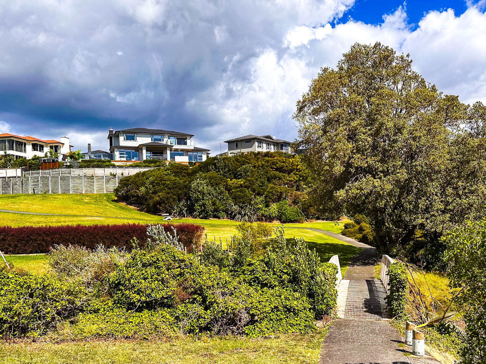
Beachlands initially developed as a holiday community, eventually evolving into a modern coastal town. Leigh Auton Reserve and the Beachlands to Maraetai Walkway provide walking and cycling accessibility along the coast to Ōmana Regional Park and Maraetai.