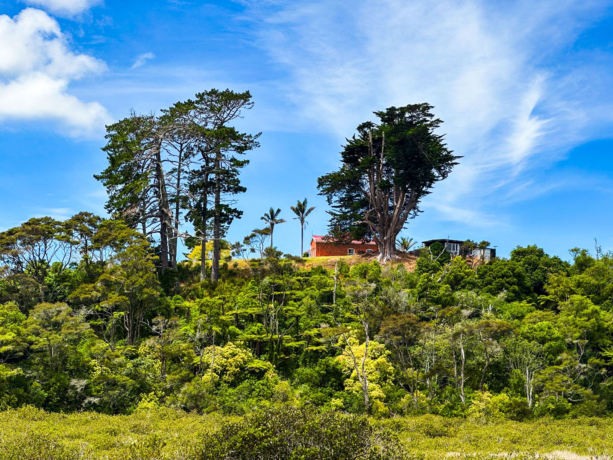
Whitford is a charming village in a primarily rural area of rolling hills on the eastern edge of Auckland City. Horse stables are a notable feature of the region. East Tāmaki is to the west, Howick is to the northwest, and Flat Bush is to the southwest.
The village marks the start of the Pōhutukawa Coast, sitting at the intersection of Whitford Road and Whitford Maraetai Road. The latter takes you to Beachlands, Maraetai, Whakakaiwhara Peninsula (Duder Regional Park) and Clevedon.
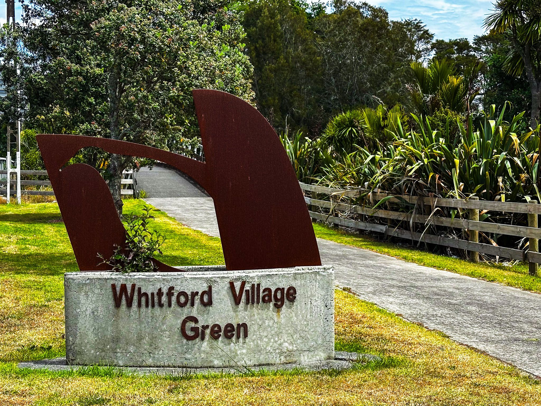
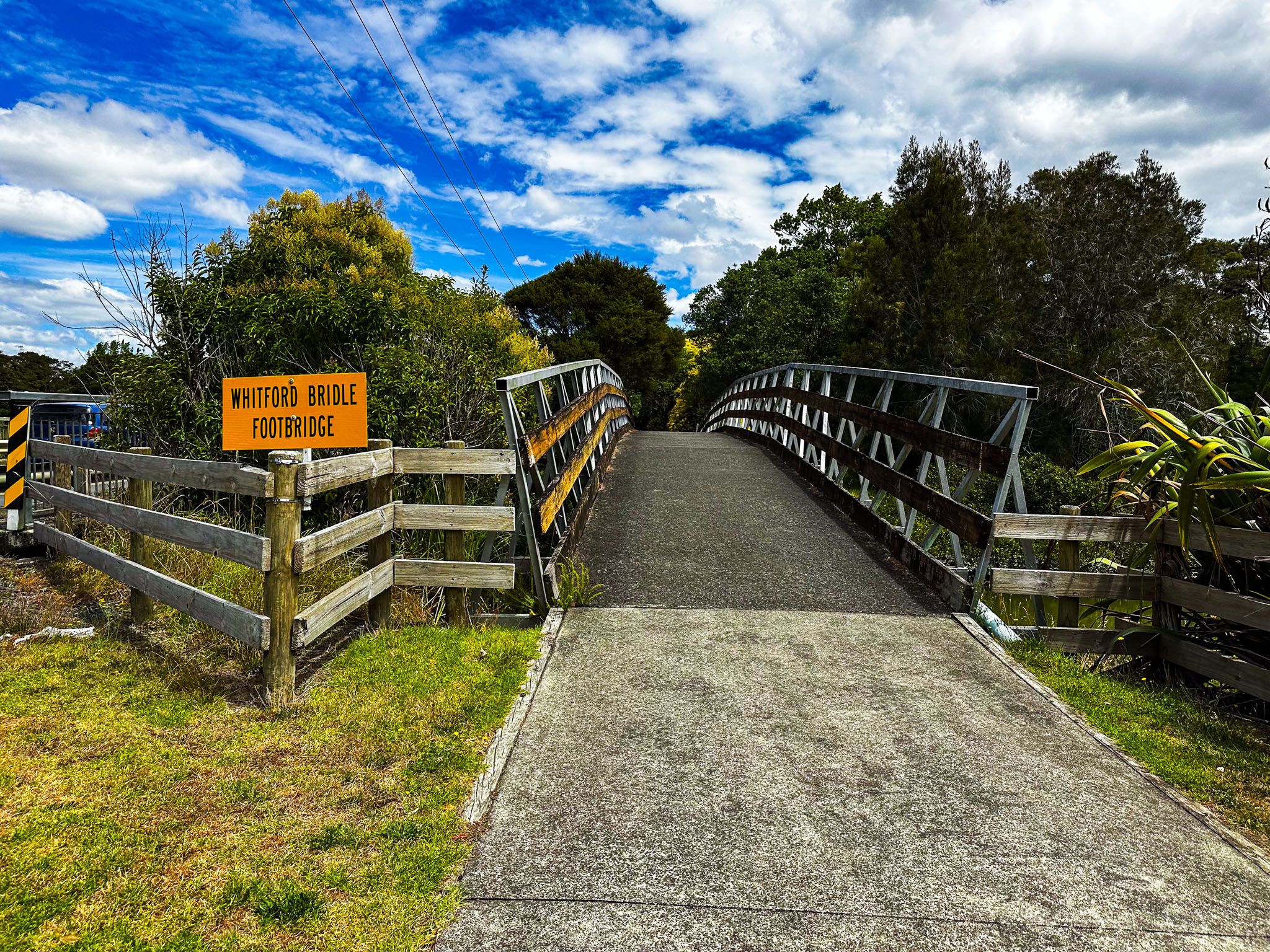
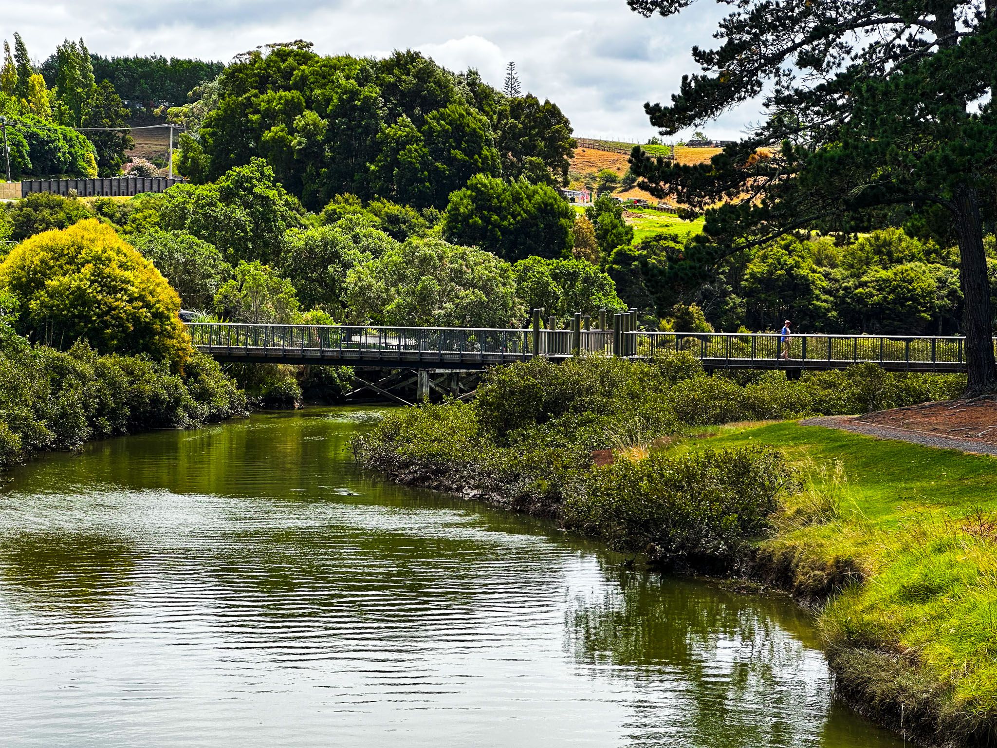
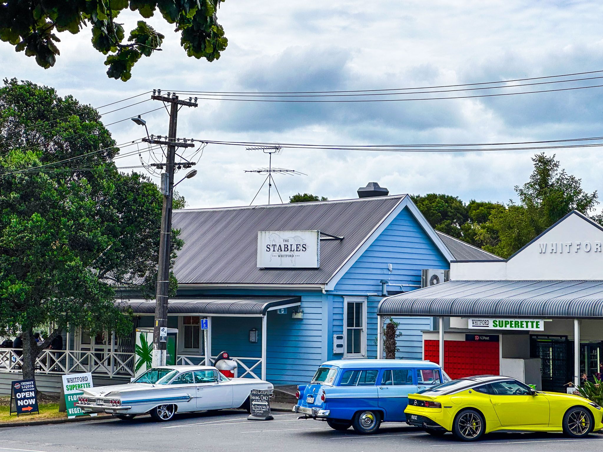
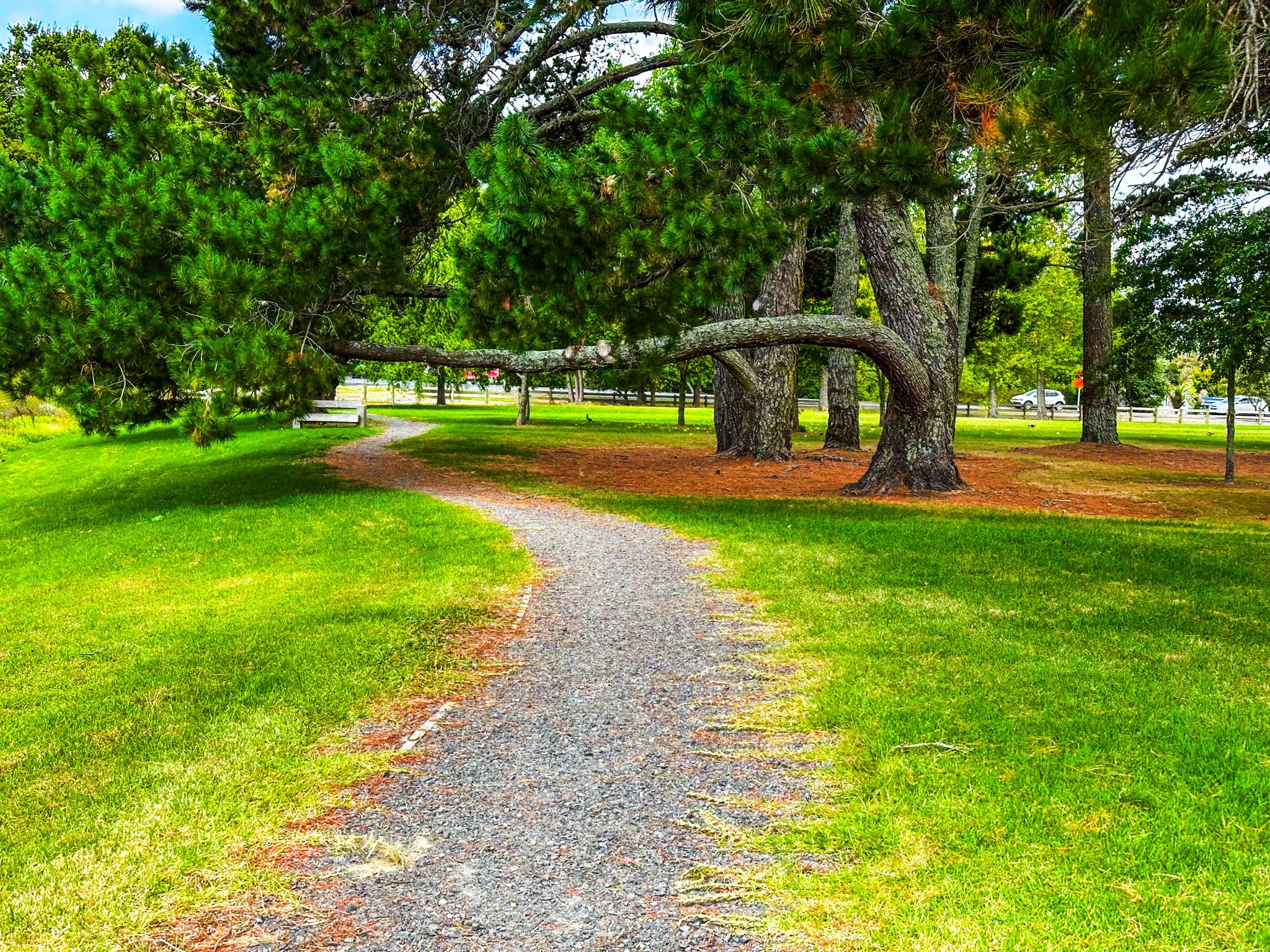
There are several cafes and galleries, and it is a popular weekend stop. Tūranga Creek, which flows into Tāmaki Strait, is on the east side of the village, and to the east of the stream is a park, the Village Green. This reserve is a grassed park with mature exotic pine trees and a sealed pathway.
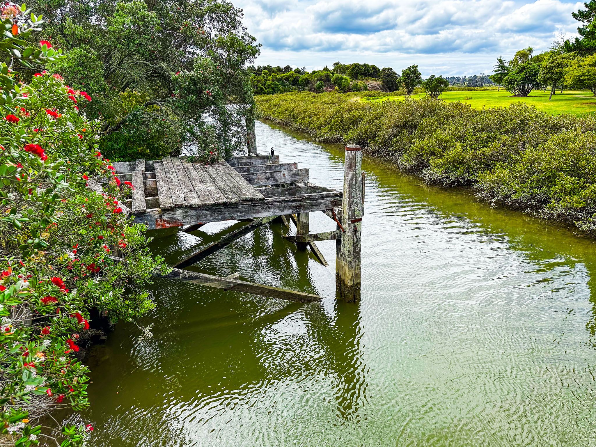
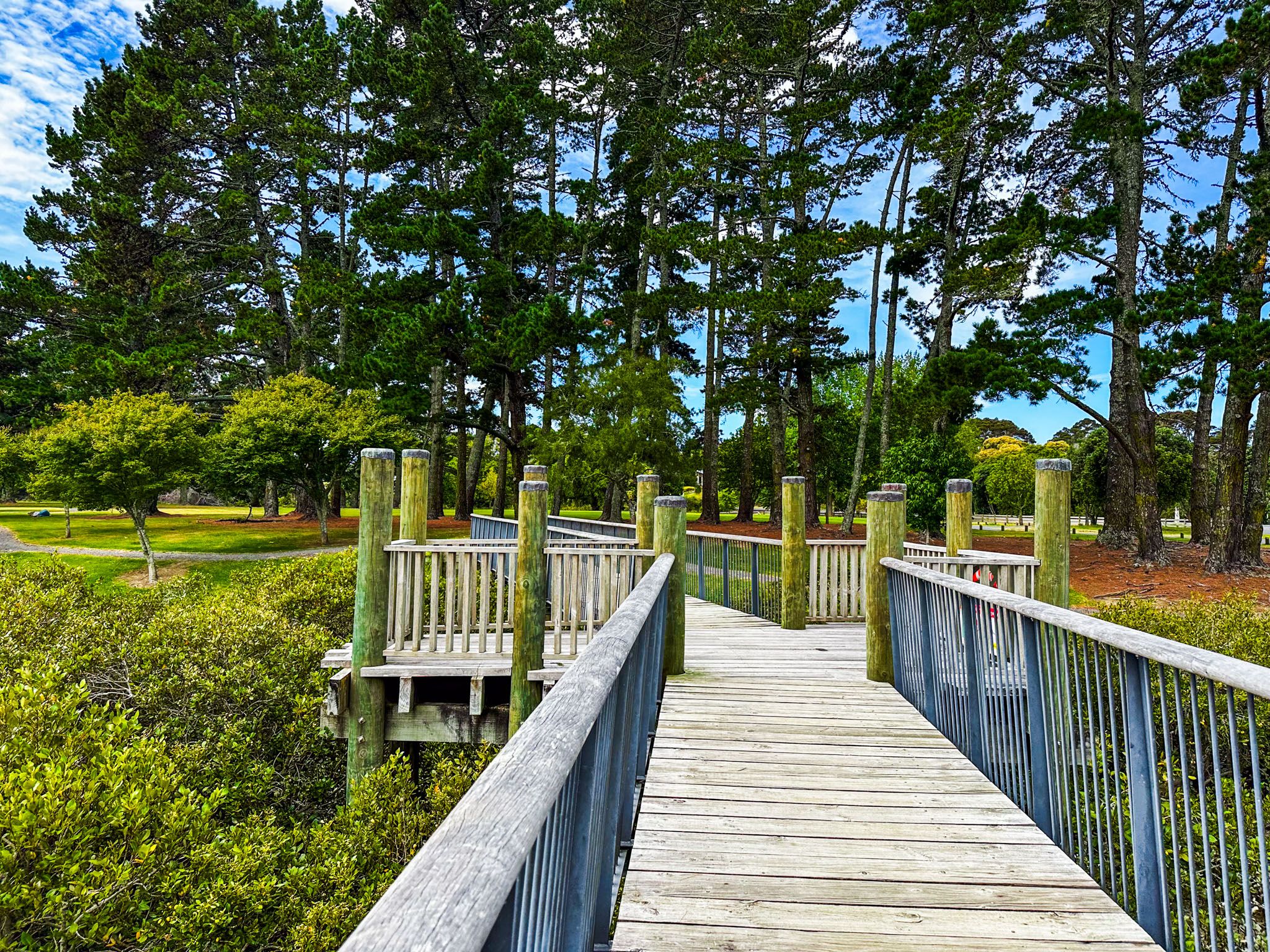
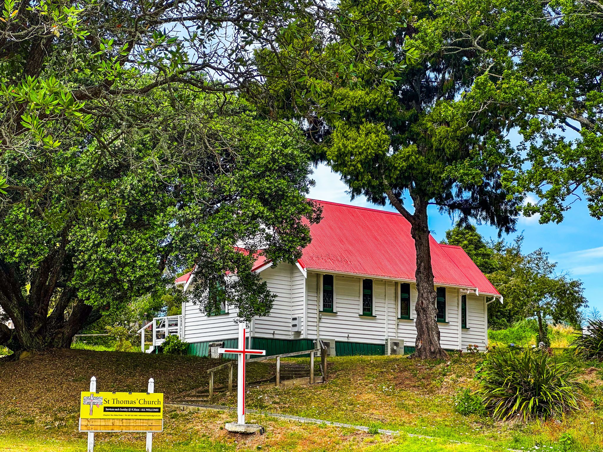
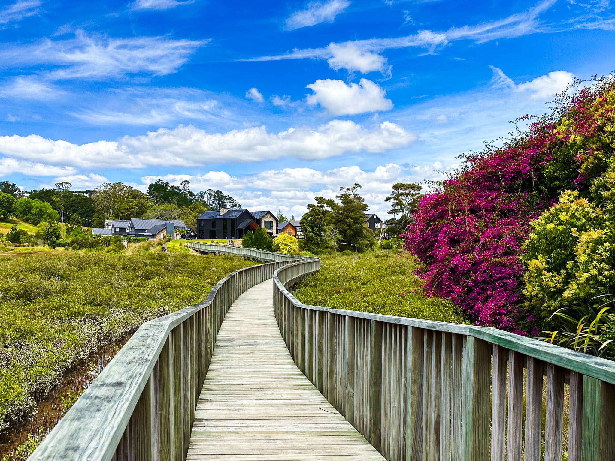
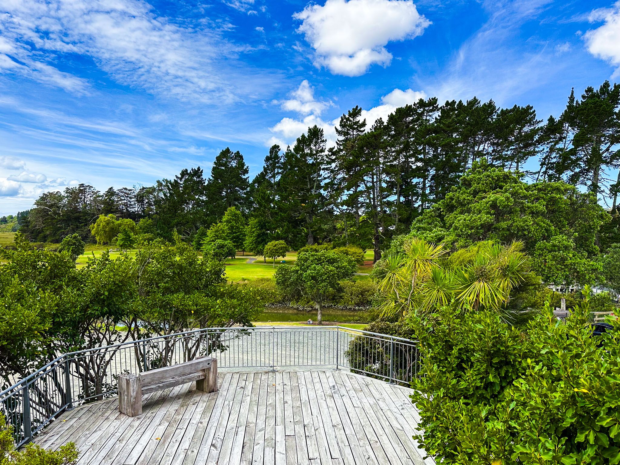
The pathway forms a loop with the village, with two interesting bridges over the stream. Look out for the old Whitford pier and small viewing tower on the north side of the loop. On the south side of the loop, which runs along Whitford Maraetai Road, you will see St Thomas, a small historic church. Next to this is a playground alongside the stream. On the southwest side of the stream, a raised boardwalk runs above the mangroves to a group of houses.
The Tainui waka landed at Tūranga Creek in the 1300s and was tethered to a volcanic rock shaped like a man. This provided the creek's name, which means anchorage. Tainui followers of Manawatere, who identified as Ngā Oho, decided to settle the area along the Pōhutukawa Coast to Tūwakamana (Cockle Bay, in Howick). Tūranga Creek was a source of food and other resources. Easy access to the Tāmaki Strait by waka enabled coastal trade throughout the Auckland Tāmaki Makaurau region. Ngāi Tai ki Tāmaki iwi descend from these first settlers.
Europeans arrived and began trading around the coast in the early 1800s. In the 1840s, the government acquired much of the region's land by invalidating most of an earlier purchase of eastern Auckland by missionary William Fairburn. This land was sold off to European settlers.
The area was called Turanga until 1882 when the name Whitford was adopted. There are various mundane explanations: Richard Whitford operated a flax mill and was the postman; White-ford was used to describe a low tide dried salt ford on the Turanga Creek; the prominent Nathan business family owned Whitefoord Park, and by the time it was subdivided in 1903, it was known as Whitford Park.
This period of settlement and development included a failed attempt at gold mining, which became the Whitford Quarry, ostrich farming, and racehorse breeding and training. The Nathan family established a racetrack, and race days were a popular attraction for Aucklanders who would get there by boat. Contact with Auckland continued mainly by boat until the 1920s when the roads were sufficiently improved.
Although Auckland City has continued to creep closer over the decades, the area is still a mix of farmland and rural lifestyle properties.