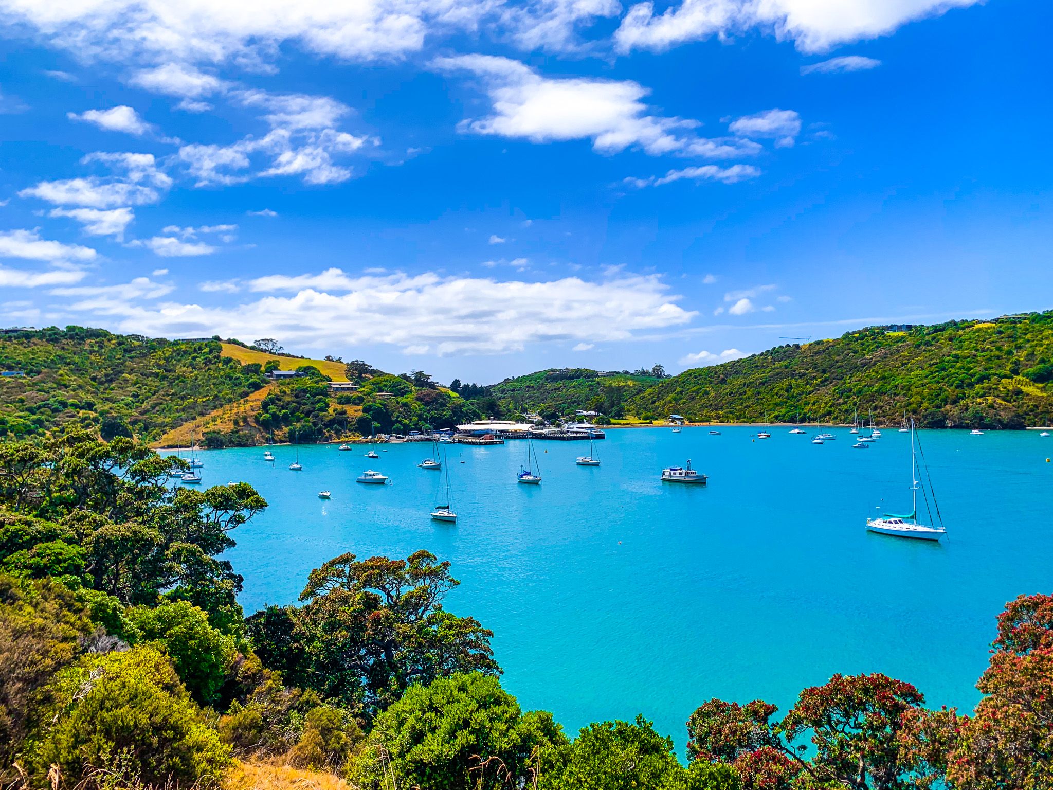
Auckland’s Hauraki Gulf has many islands. However, only Waiheke Island, east of Waitamata Harbour and Rangitoto Island, is big and close enough to sustain a substantial population (around 10,000 people) and services. At 19 km long, the island is the second-largest (after Aotea Great Barrier Island) in the Hauraki Gulf. Access is a 22 km, 35-minute ferry ride from Downtown Auckland to the ferry terminal in Matiatia Bay at the island's west end.
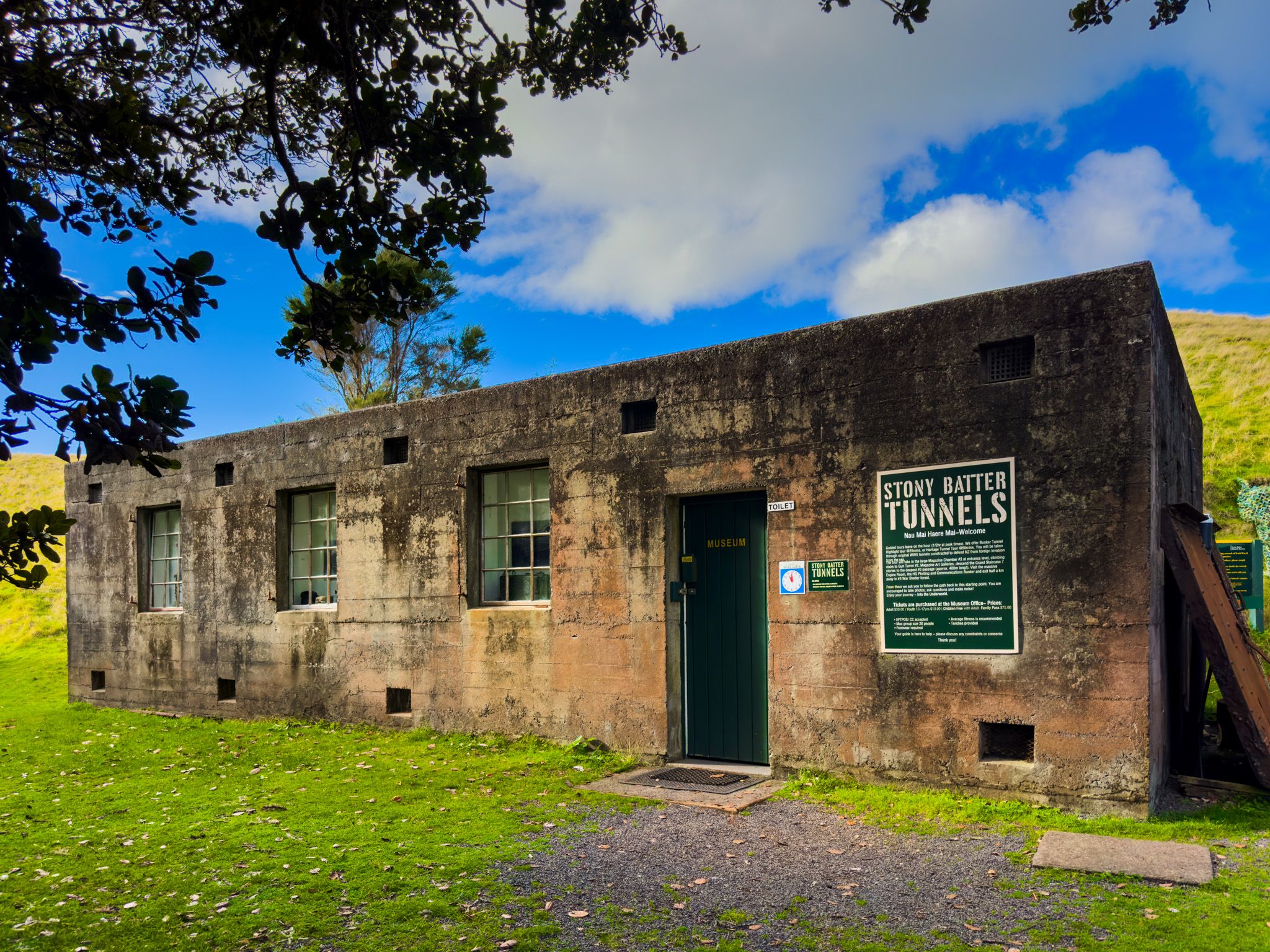
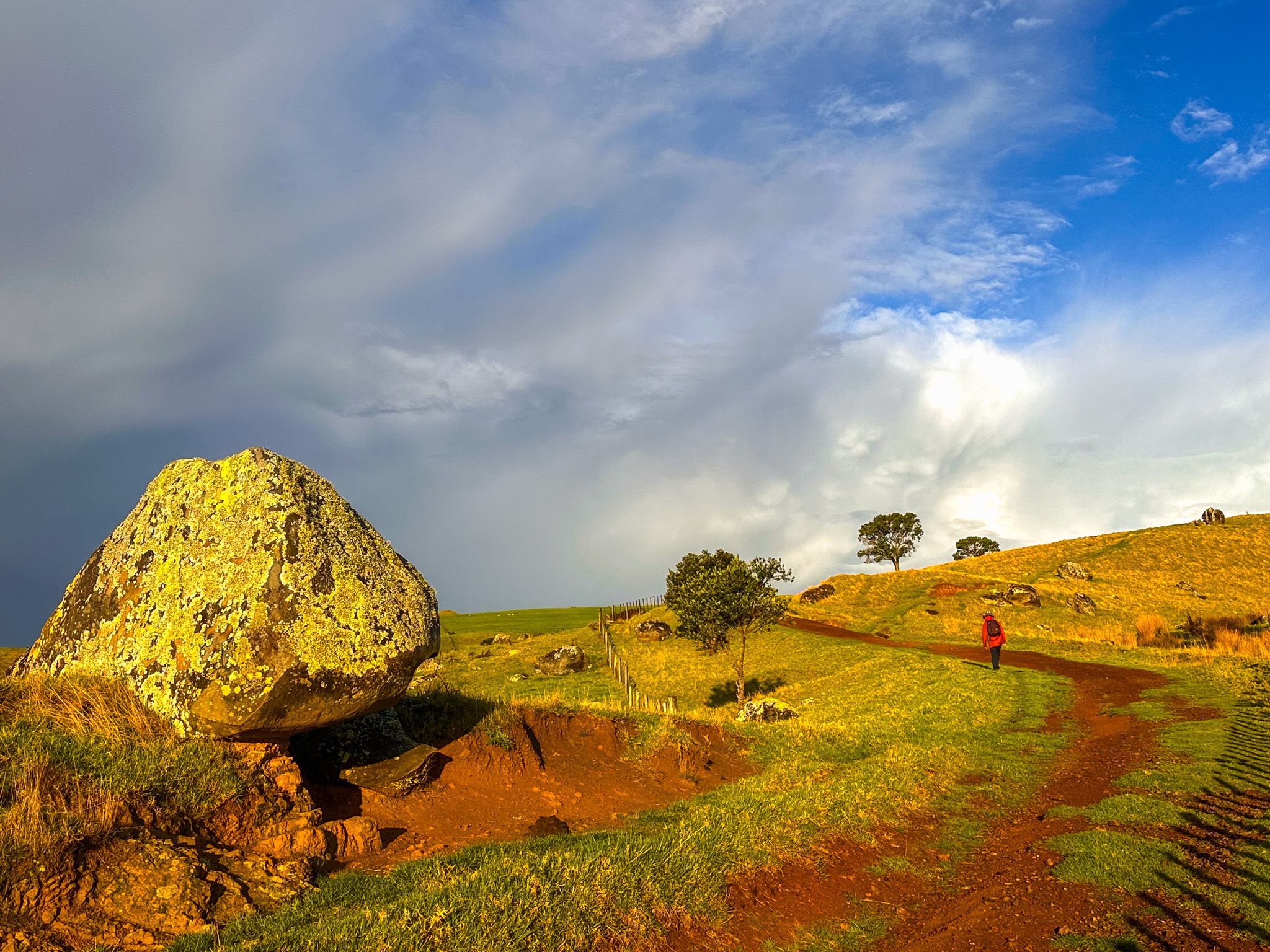
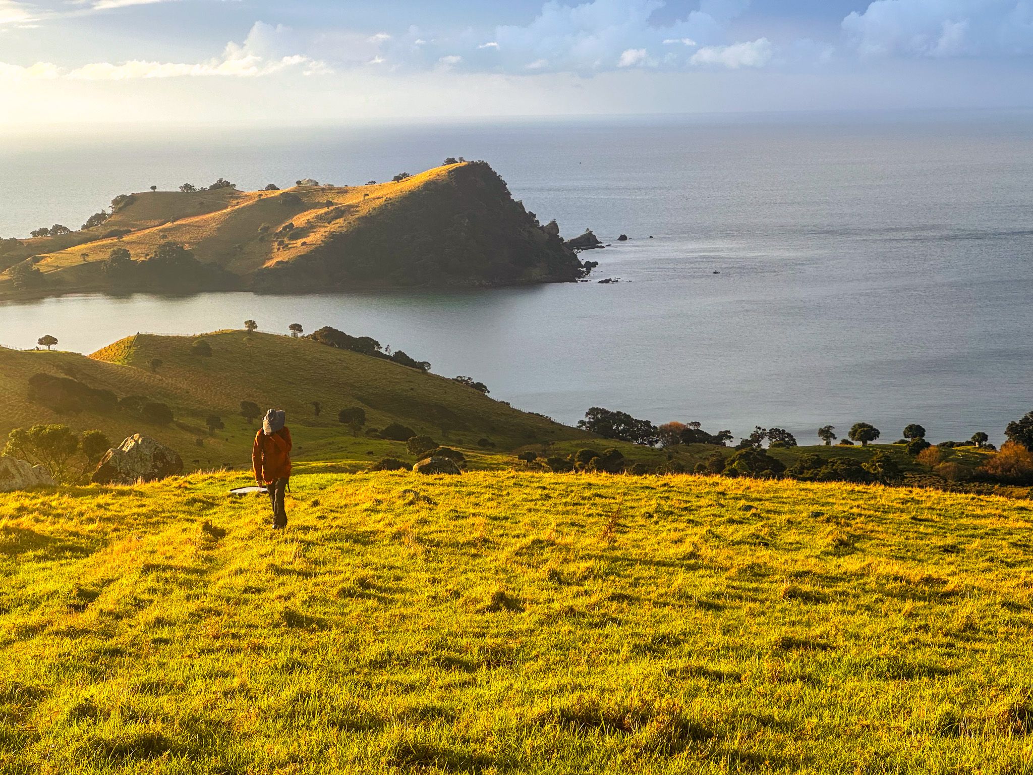
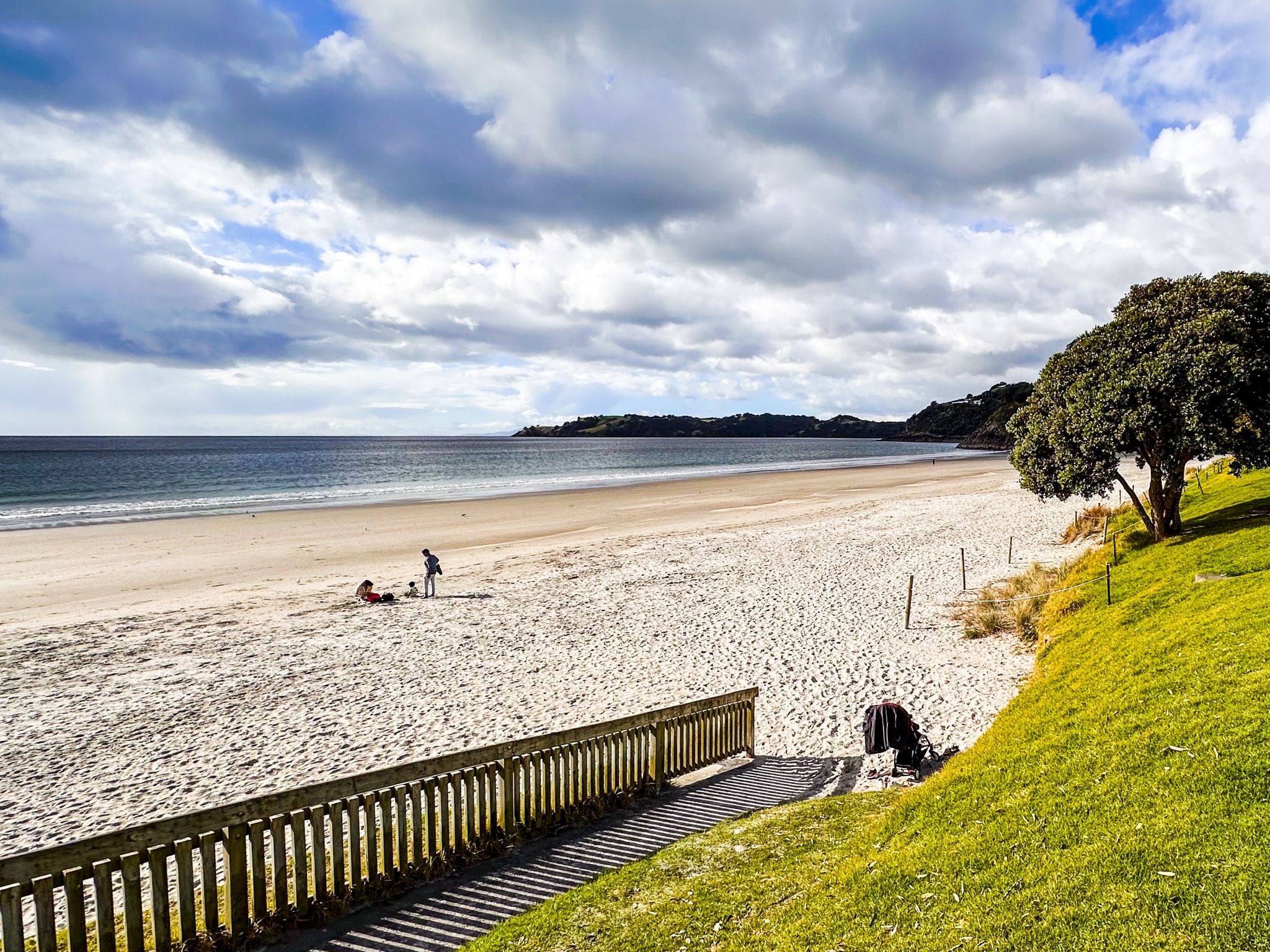
The island is a superb destination for travellers, from day trips to multi-day stays. For foodies, there are around 30 wineries and many restaurants and cafes. For outdoor activities, there are several excellent beaches and interesting walking trails. The trails include Te Ara Hura, an 87 km loop around much of the island, walks around Stony Batter and within Whakanewha Regional Park.
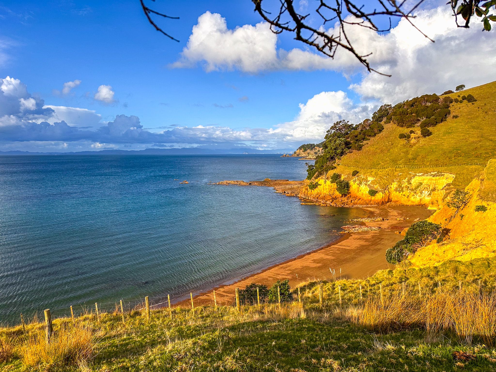
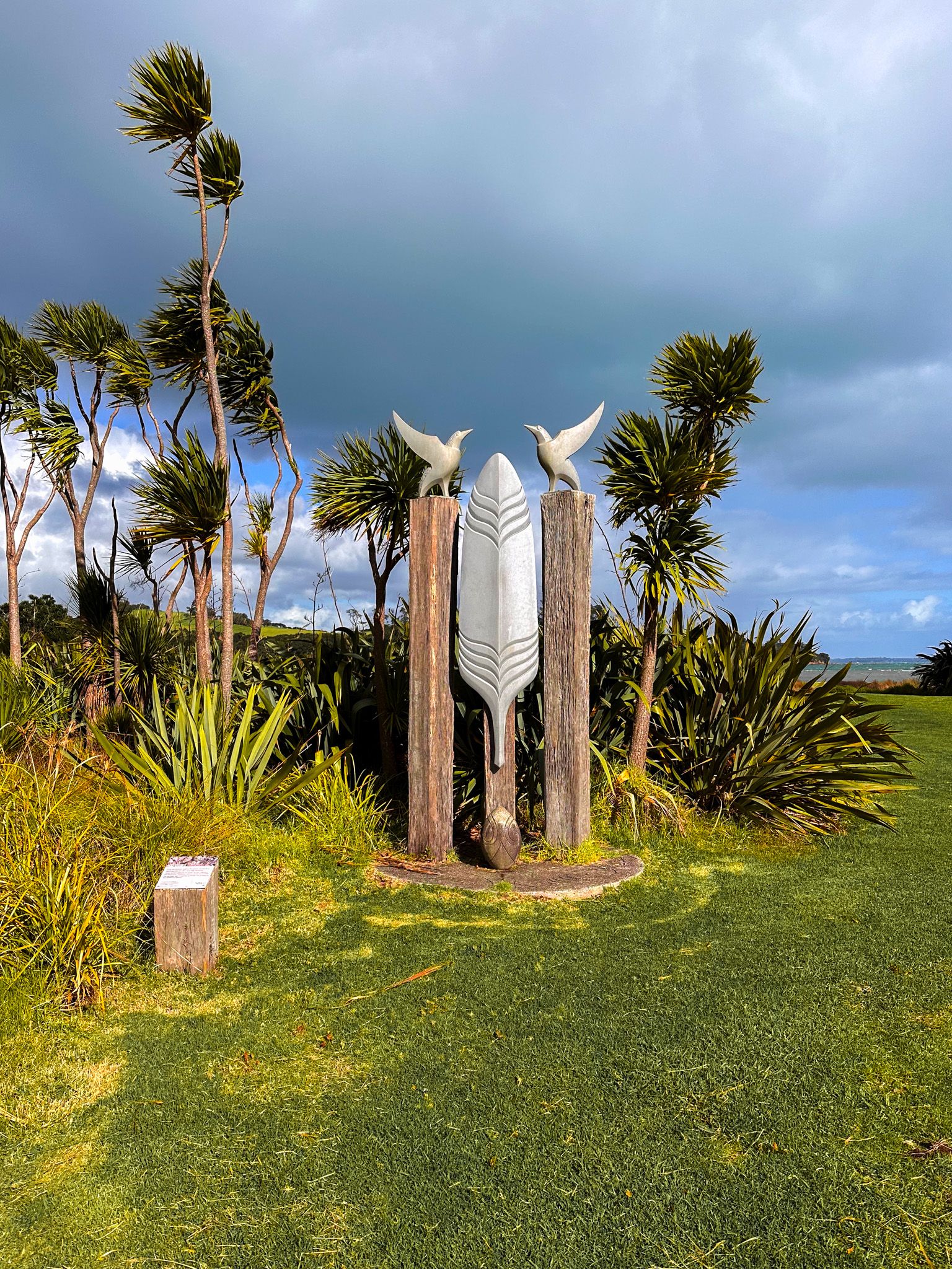
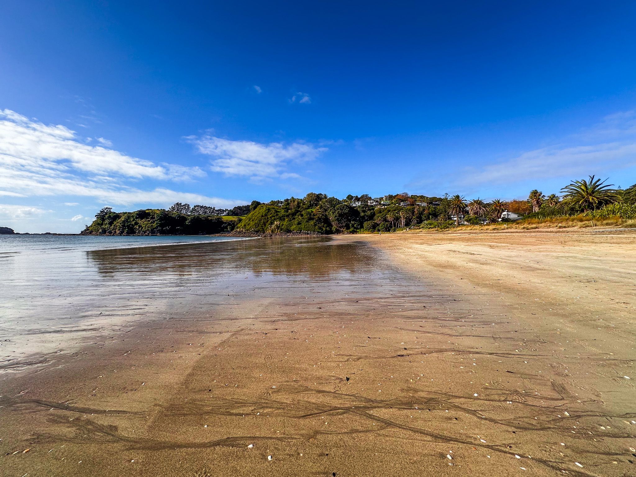
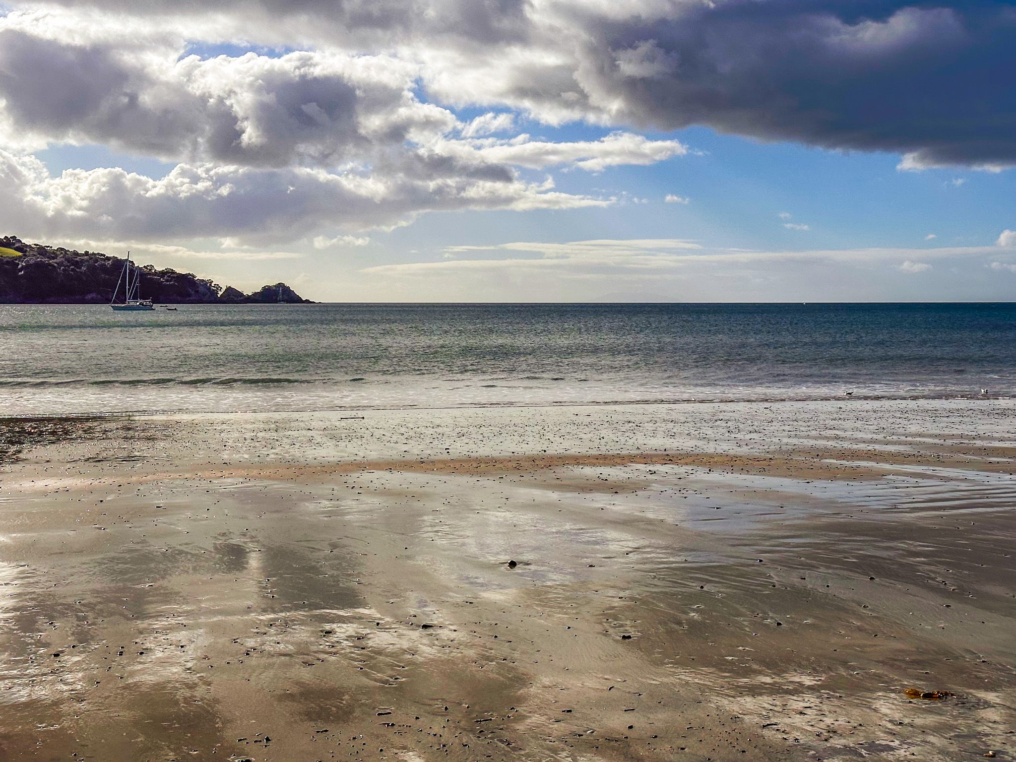
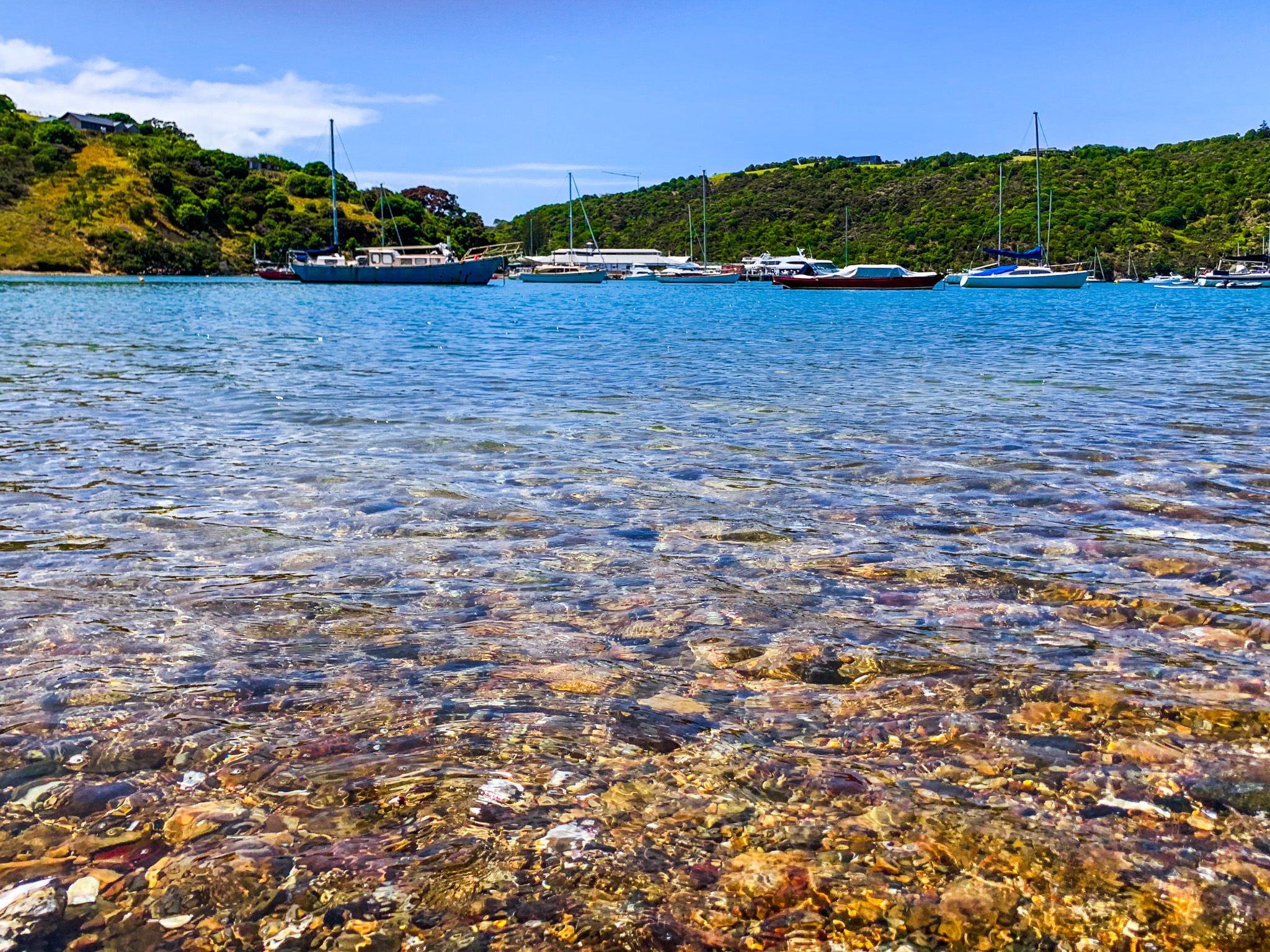
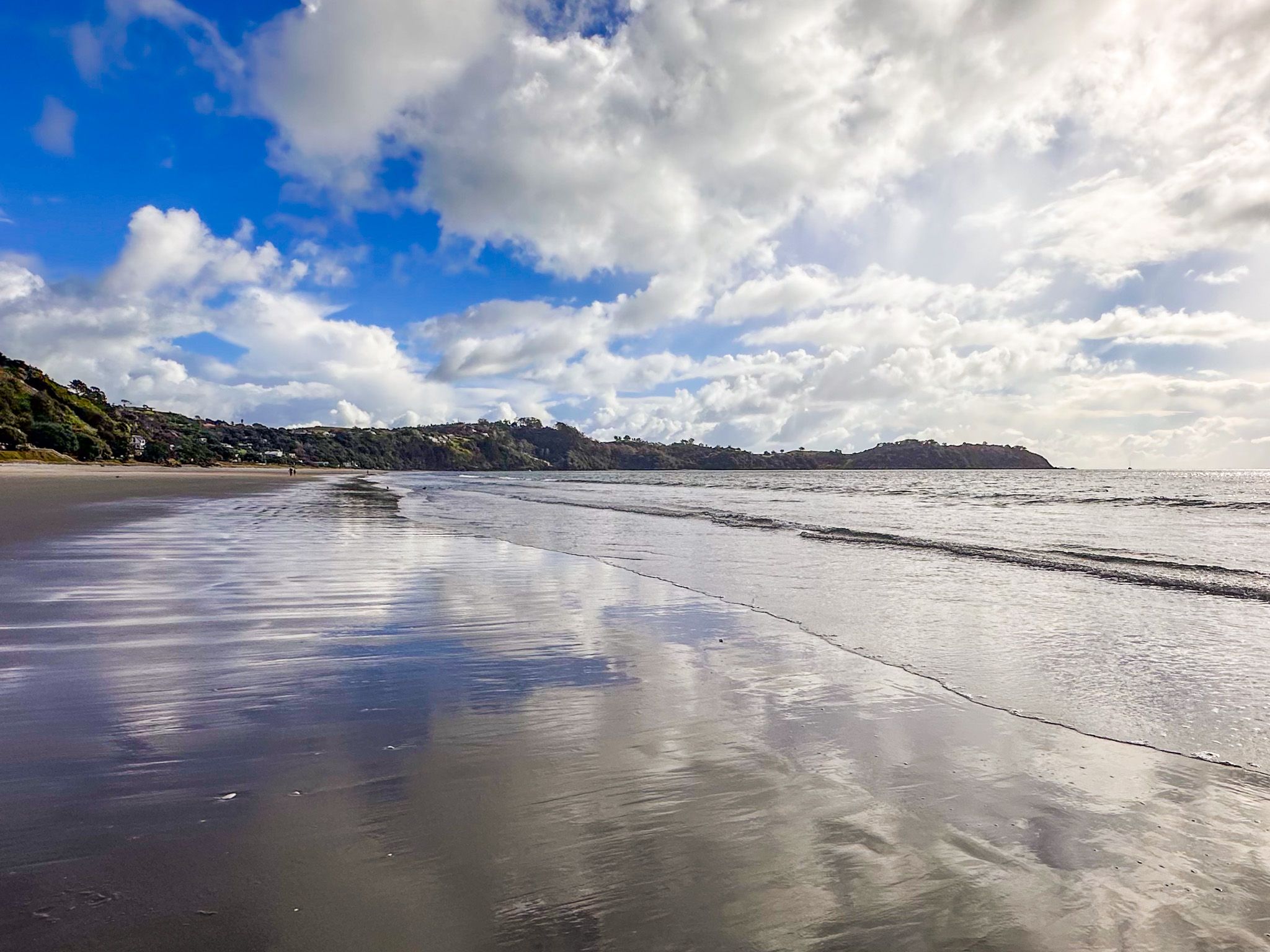
From the Matiamatia Bay Ferry Terminal, it is a 15-minute walk east into the main town of Oneroa. Alternatively, you can also go around the spectacular coast on the south and north sides of the bay and loop back to Oneroa. Along the way, you will see cliff-edge views of the Hauraki Gulf, Rangitoto, distant Downtown Auckland, beautiful beaches, especially on the north side, and stunning houses. Adding a walk-in visit to a winery is easy on the south side.
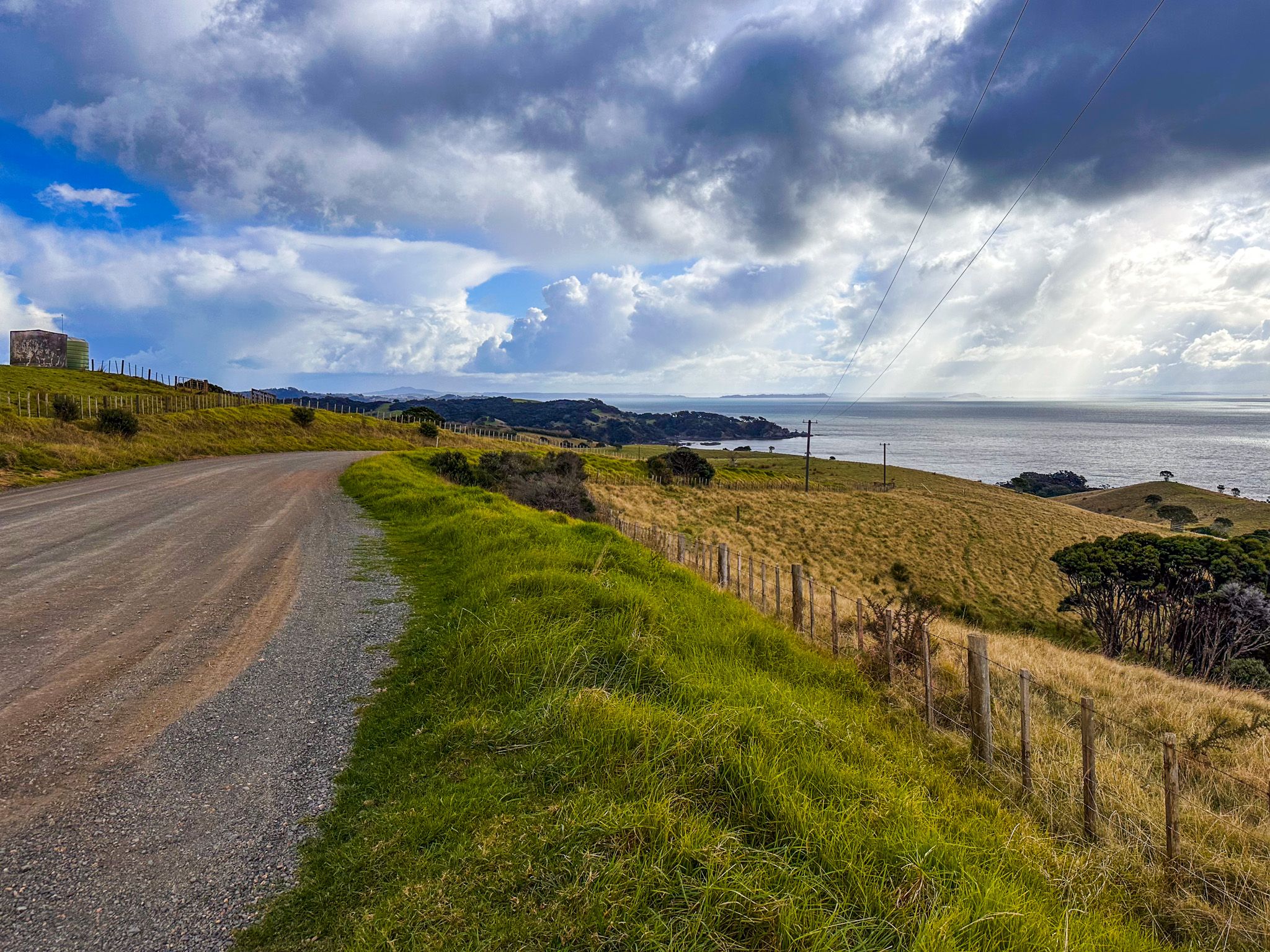
You can also rent a car or bike from the terminal or catch a bus to almost anywhere on the island. Another option is to take a car by ferry from Downtown Auckland or Half Moon Bay in east Auckland. Be mindful that the terrain is hilly, and the roads can be windy and narrow if biking.
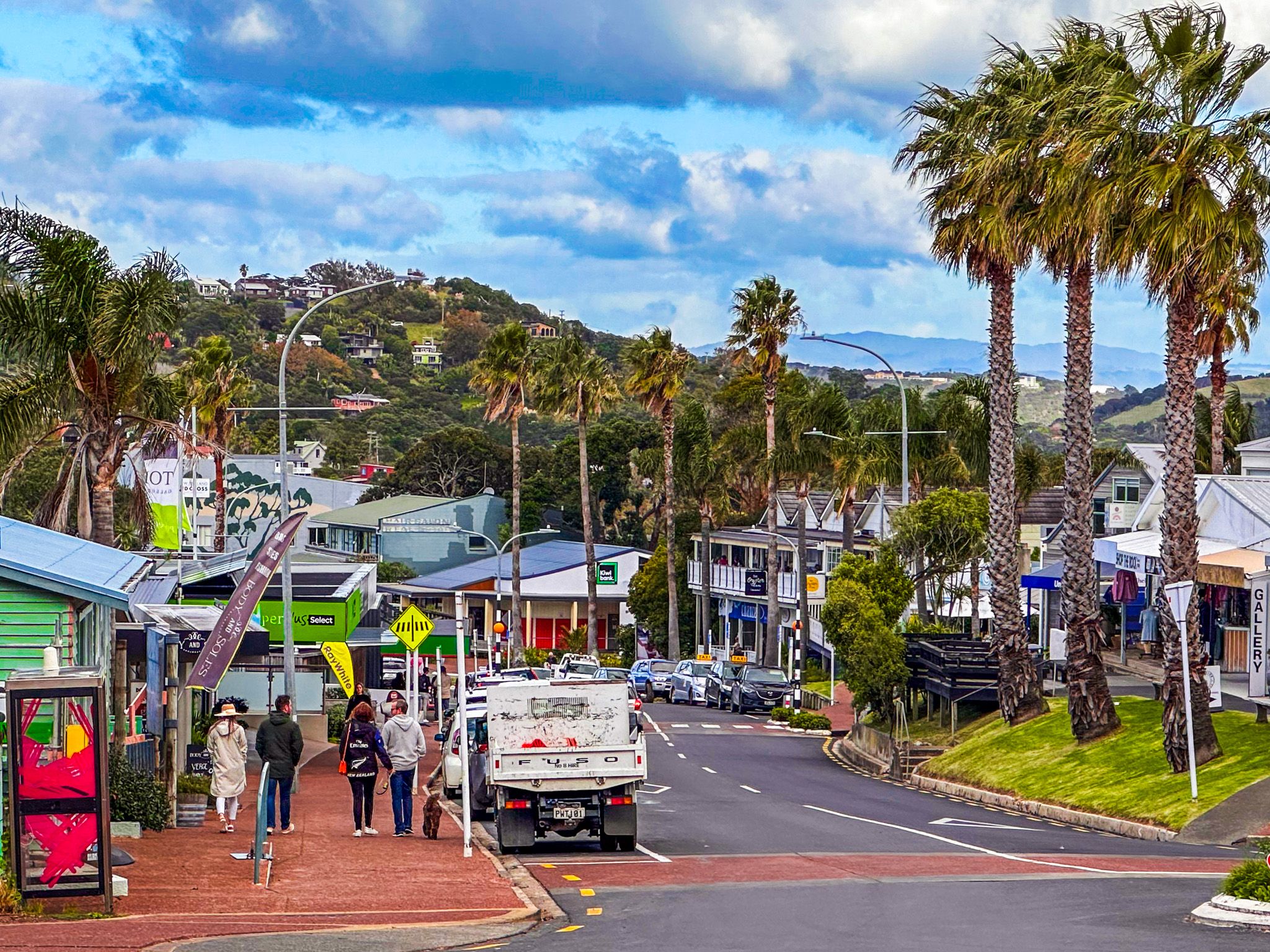
Waiheke started to develop as a destination for Auckland day trippers in the 1870s, and the development of various small towns followed. Today, the eastern area between Oneroa and Palm Beach is almost fully developed, as is the coastline near Onetangi Beach.
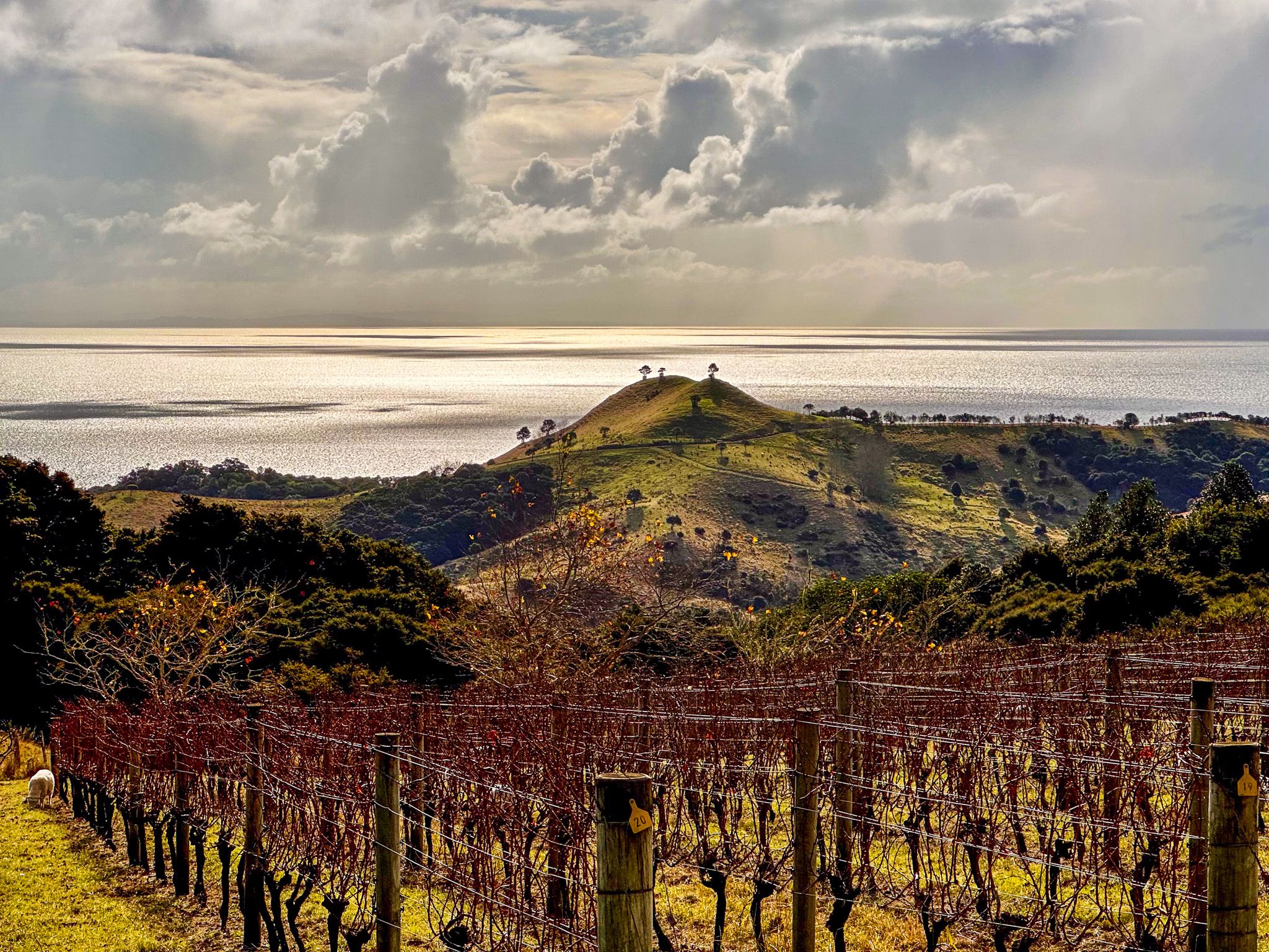
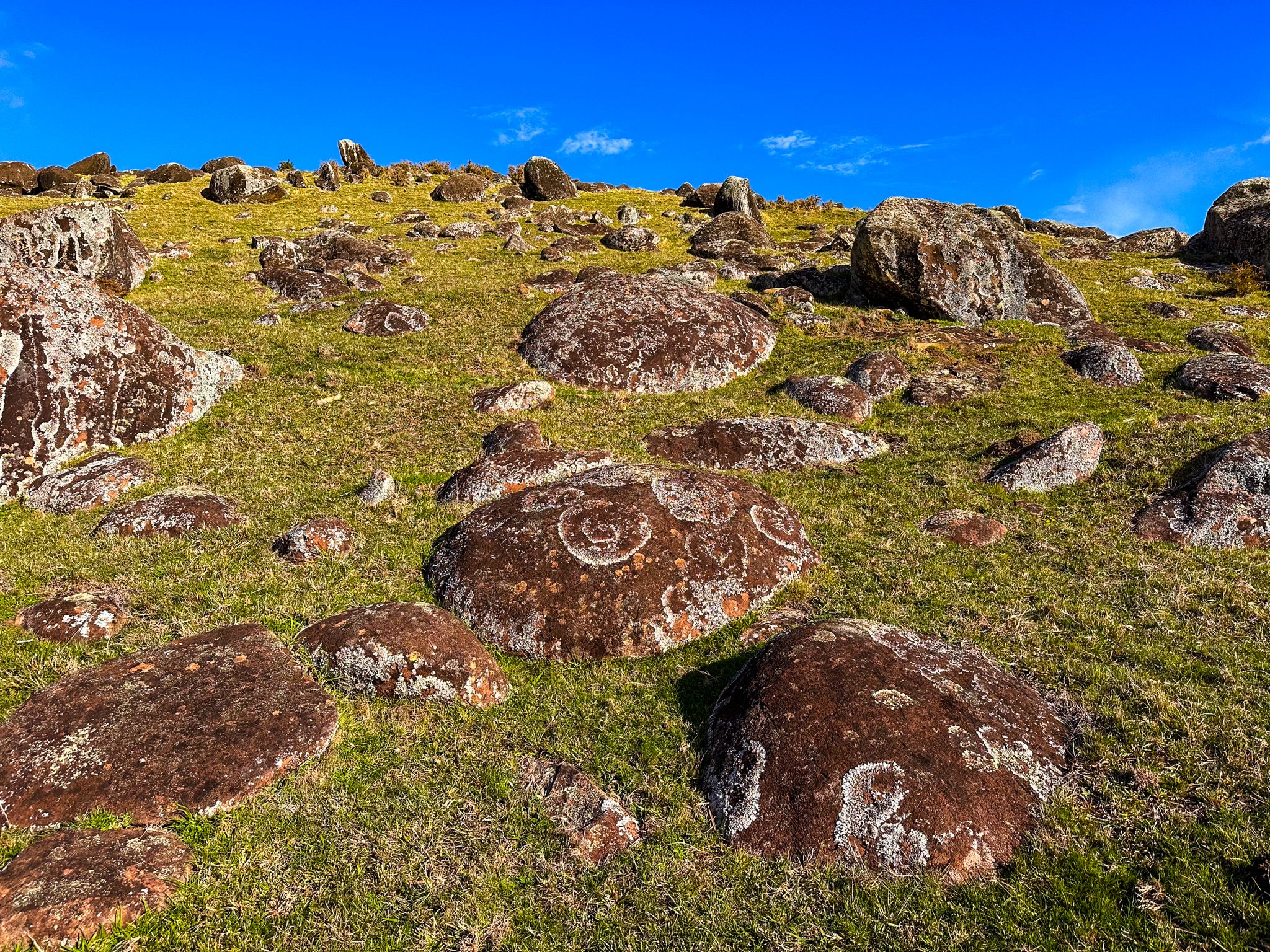
The island is up to 15 million years old and mostly the remains of the ancient Kiwitahi Volcanic Group that extended from Waiheke south to Cambridge in the Waikato. It was joined to the mainland during the last ice age (about 17,000 years ago) but separated as sea levels started rising around 7,000 years ago.
During the Māori migration, around the 1300s, several ocean-going migratory waka, including Tainui, Aotea, Tākitimu, and Mātaatua, visited the gulf. Permanent settlements were established on Aotea / Great Barrier and Waiheke. Various iwi settled and fought over the island, with Ngāti Pāoa being dominant by the early 1700s. As with the other main Auckland iwi, the Ngāti Whatua Confederation, they were regularly threatened by Ngāpui invasion from the north, which they fended off.
The original Māori name for Waiheke was Te Motu-arai-roa, 'the long sheltering island,” but it was Motu-Wai-Heke, 'island of trickling waters,” by the time of the arrival of Captain James Cook in Hauraki Gulf. Cook moored in what is now Man o’War Bay, noting that the many nearby ancient kauri would make perfect ship masts for the British navy. He had a good experience in the region, which led to a flow of whalers and sealers who readily traded with Ngāti Pāoa.
However, the iwi was a prime target for Hongi Hika once he acquired guns around 1820 and kicked off the Musket Wars. Hika began his southern utu-fueled campaign in Tamaki Makaurau Auckland, and forced Ngāti Pāoa to abandon the island. The main battle was at Onetangi, which means “Weeping Sands” and refers to the mass slaughter of Hongi Hika’s victims. Once the Musket Wars had burned out in the region, surviving Ngāti Pāoa returned and were mainly based at Pūtiki Bay. Peace was guaranteed by the marriage of a Ngapuhi chief, Patuone, to Ngati Paoa chieftainess Riria.
Kauri harvesting stimulated European activity, and in 1836, Thomas Maxwell established a shipyard at Man o’War Bay. Ngāti Pāoa provided timber and food for the shipyard, then timber to build early Auckland. By the 1850s, Ngāti Pāoa had sold much of the island, retaining 840 hectares at Te Huruhi. Subsequently, most of the title to this land was individualised.
By the 1900s, the trees were mostly gone, and the land was used for cattle farming. It had also become a day trip for Aucklanders, hence names like Palm Beach and Blackpool. The first holiday homes were built during WW1 in Ostend, and by the mid-1920s, most of the built-up area between Onetangi and Oneroa had settlements. It remained a relative backwater, and electricity was only connected in 1954. But since the 1980s, it has become easier to live there and much more interesting for visitors, with the appearance of the local wine industry, related hospitality activities and modern ferry services. The WW2 fortifications at Stony Batter were also restored, combining fabulous walking trails with a piece of military history.