Exploring the Beachlands-Maraetai Walkway
Situated along Auckland's picturesque Pōhutukawa Coast, the Beachlands-Maraetai Walkway is an 8.4 km coastal shared path that offers stunning views of the Tāmaki Strait, part of the Hauraki Gulf. The path also provides vistas of Waiheke Island and the Coromandel Peninsula, with access to Ōmana Regional Park, the delightful Ōmana Beach and Maraetai Beach.
Trail Access and Starting Points
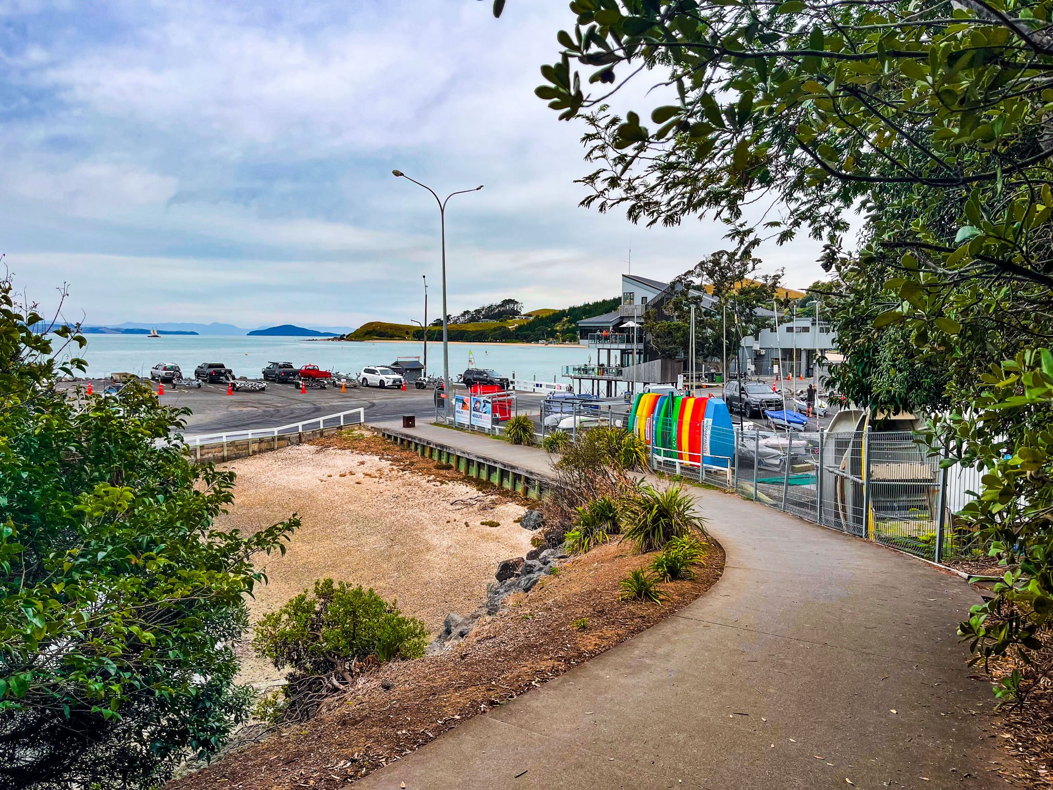
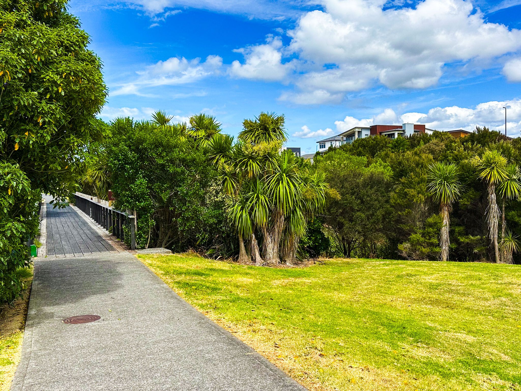
The path is accessible from various points and can be traversed in either direction. A popular starting point is Pine Harbour Marina, which is reachable via a 40-minute ferry ride from Downtown Auckland. The marina features several cafés and restaurants, making it a convenient place to begin your journey. From the marina, follow the northern coastal track near the ferry terminal to Puriri Road. Then, head east on either Second View Avenue or First View Avenue (then Pōhutukawa Road) to reach Leigh Auton Reserve. Along the way, you might consider side trips to Motukaraka Island, Sunkist Bay, and Shelly Bay.
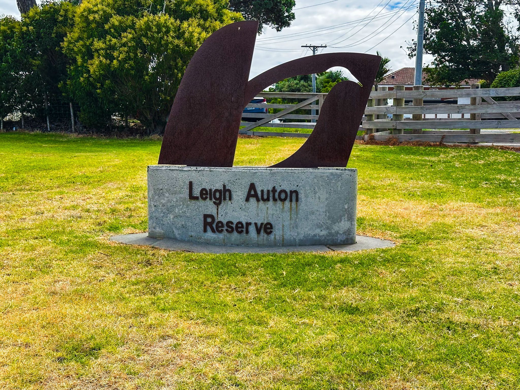
Leigh Auton Reserve and Scenic Views
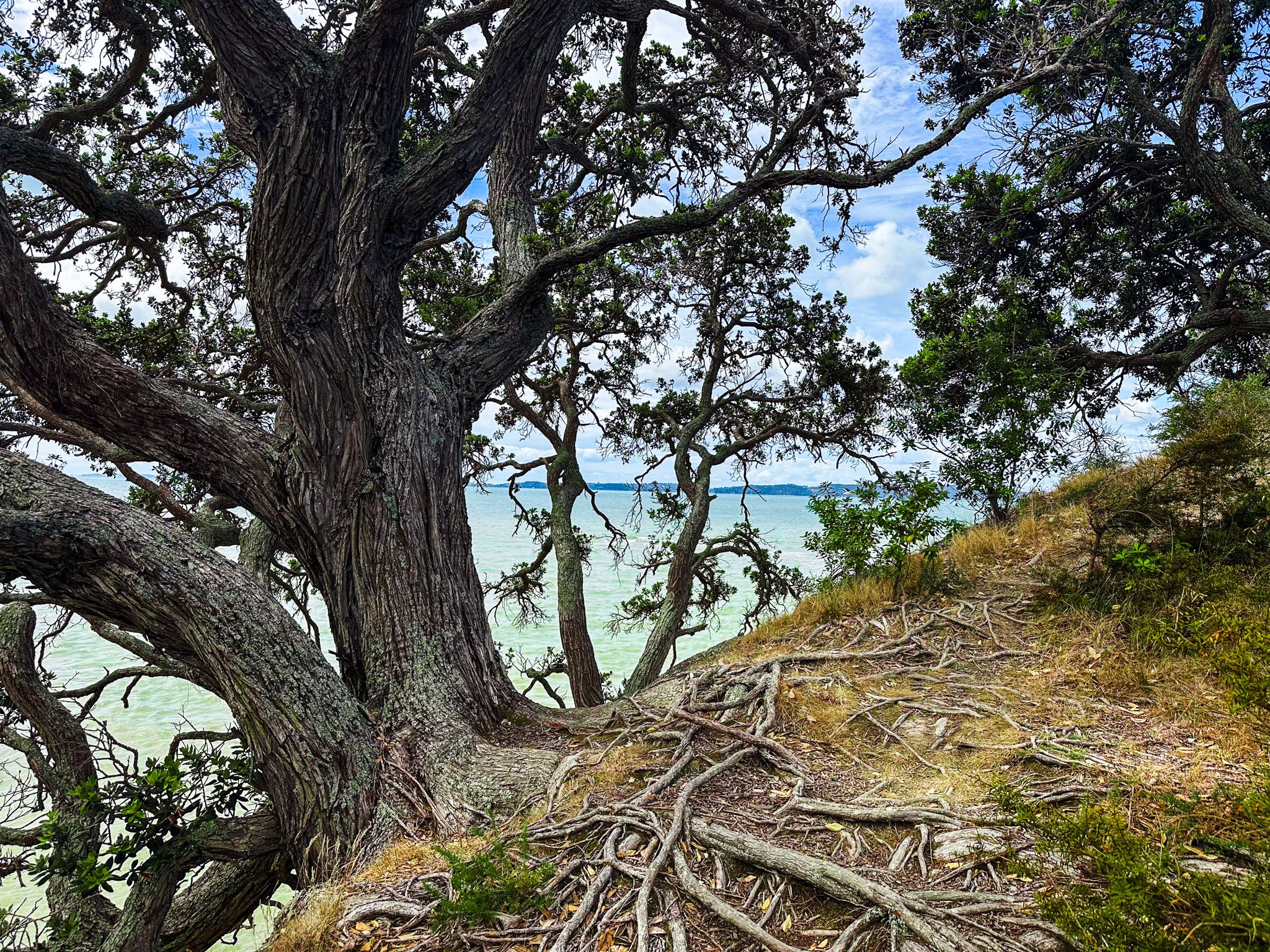
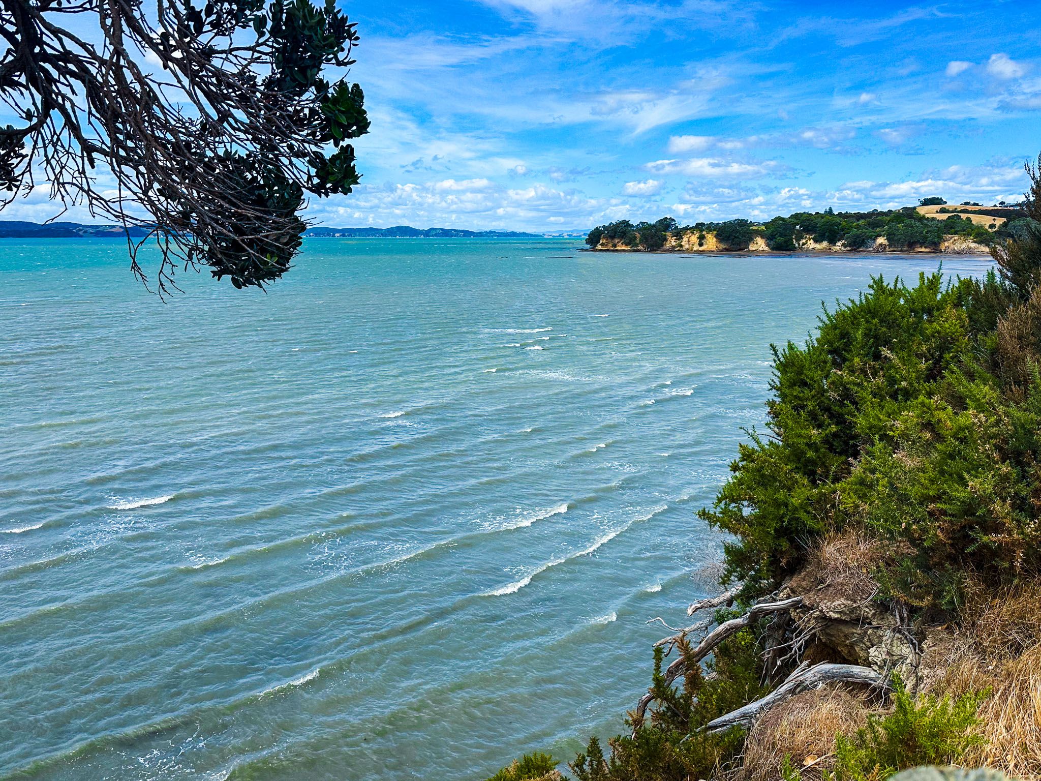
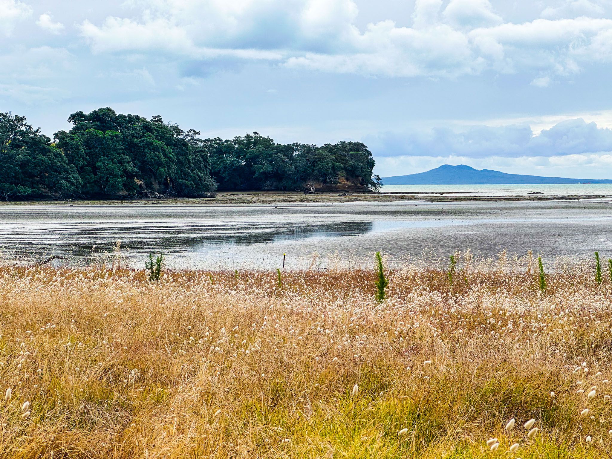
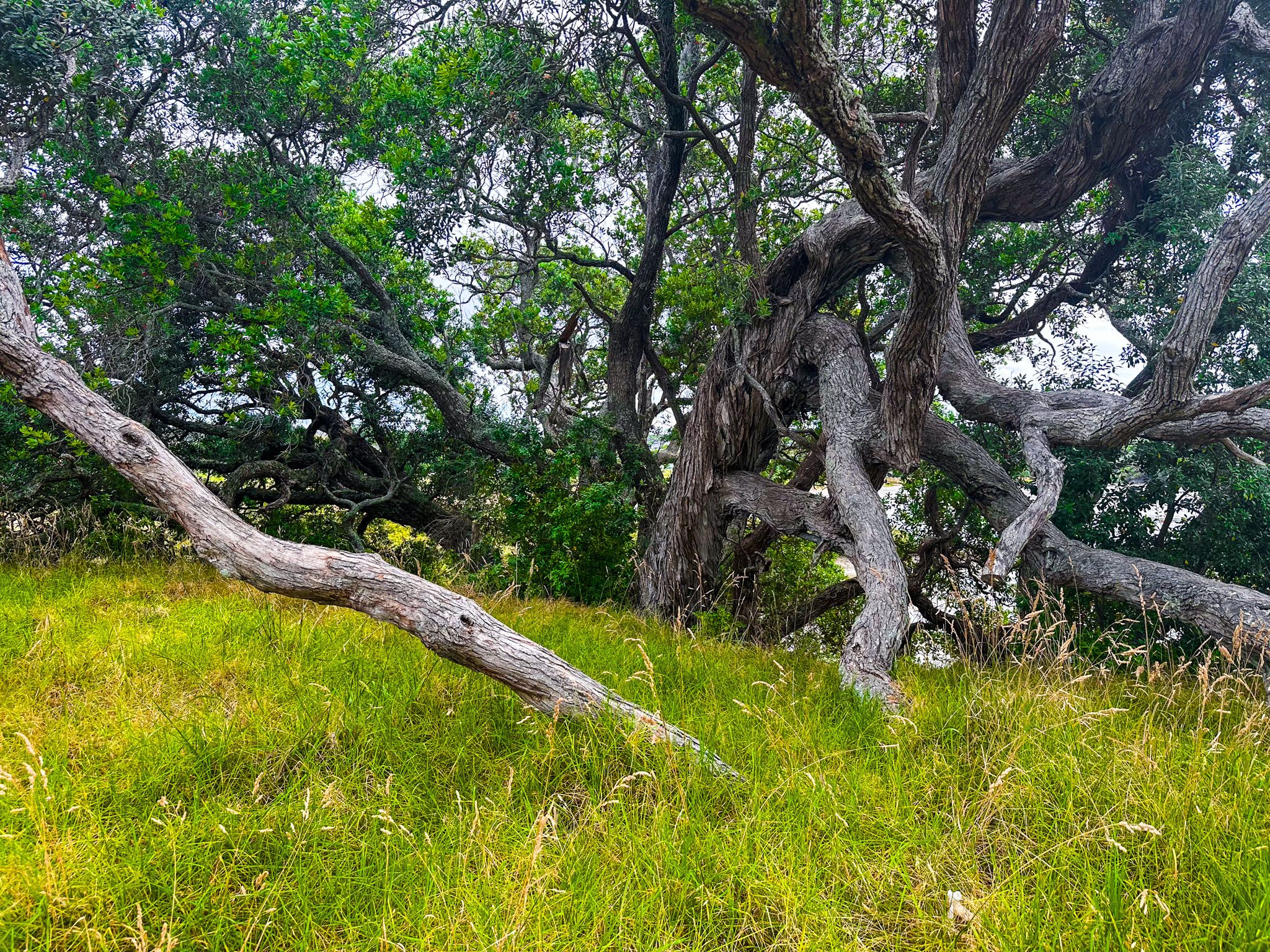
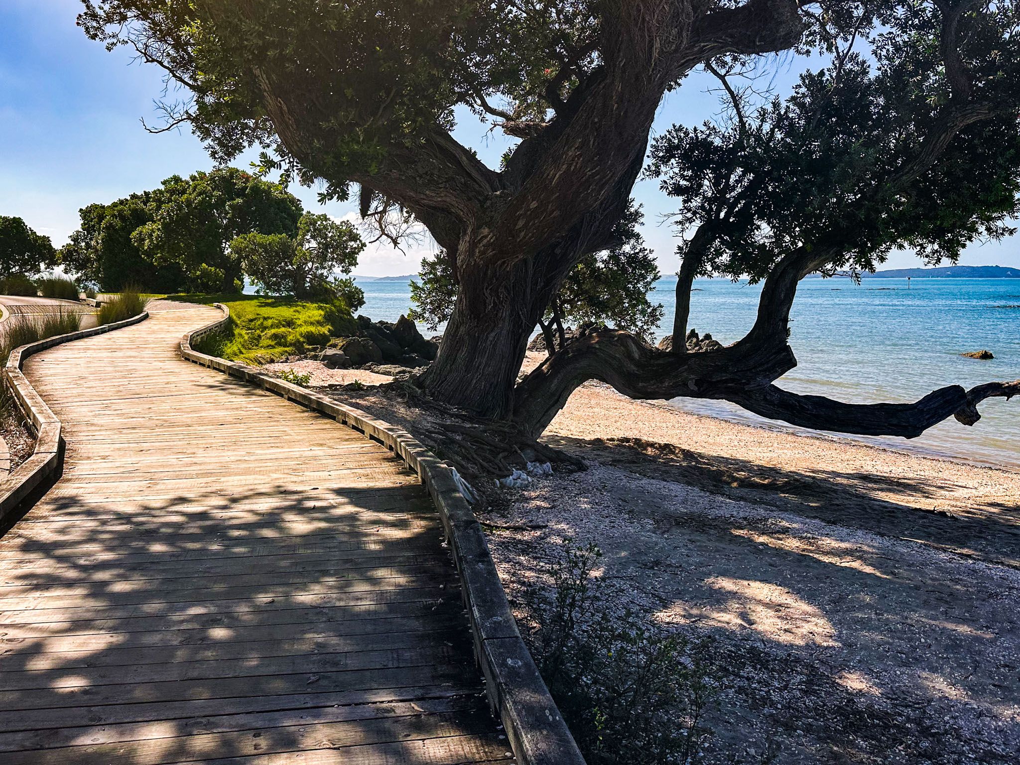
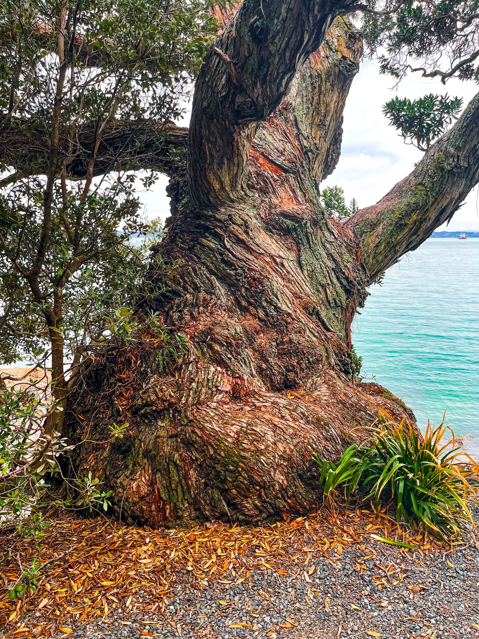
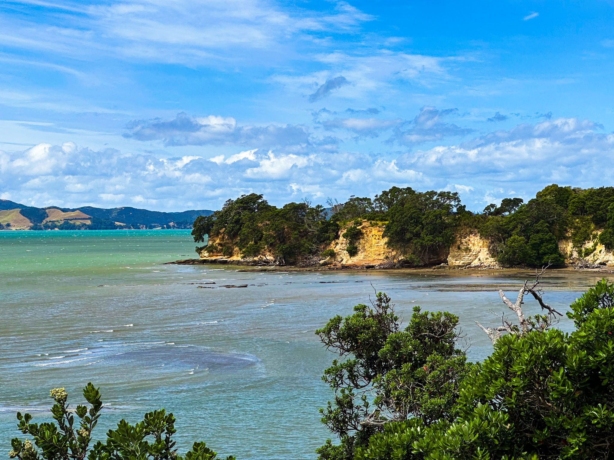
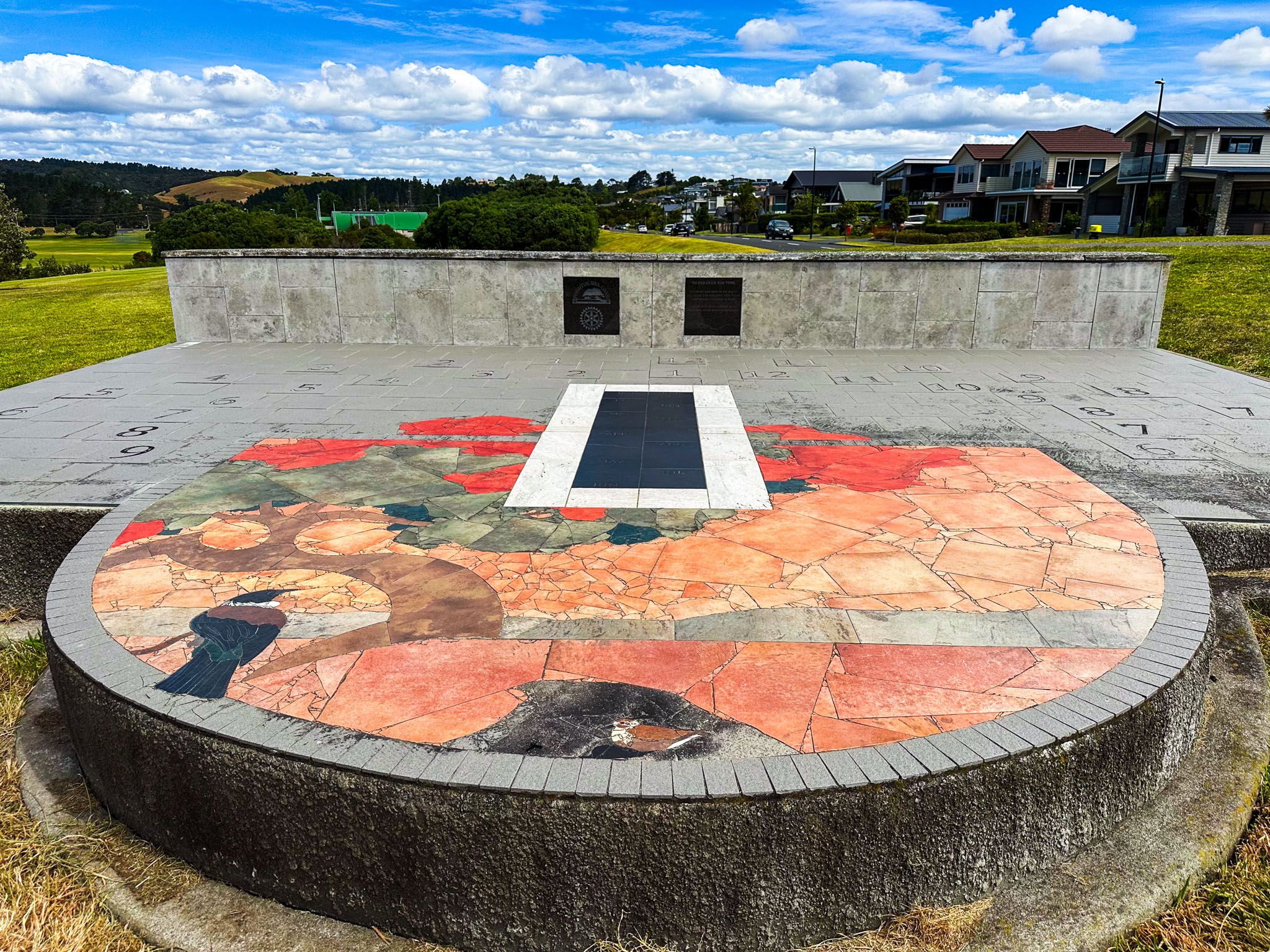
Leigh Auton Reserve is a grassy area situated behind cliffs at the eastern end of Shelly Bay, overlooking the sand and mud flats of Kelly Beach. The track here is sealed, and mature pōhutukawa trees line the cliff's edge, offering superb views. From Kelly Beach, you can see the cliff-bound Ōmana Regional Park. An intriguing feature in the reserve is the sun clock, which allows you to tell the time by standing in the correct position.
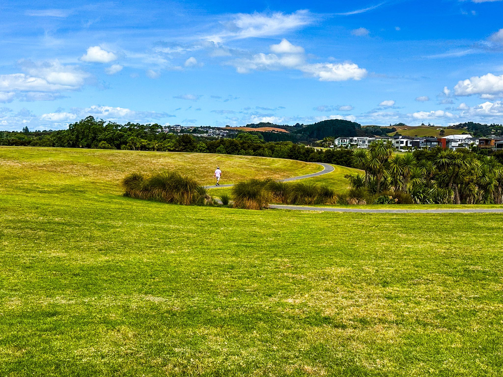
Continuing the Walkway
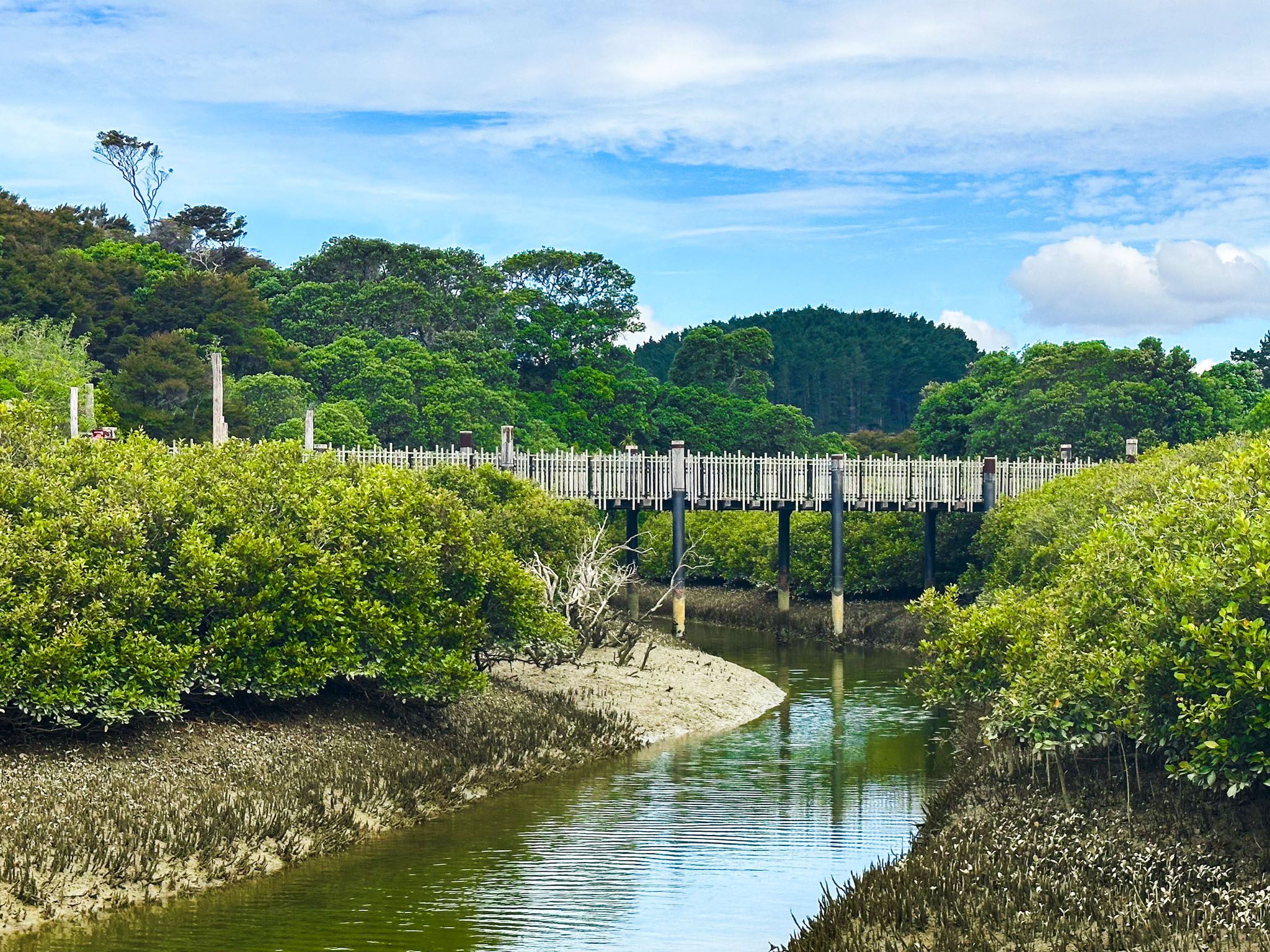
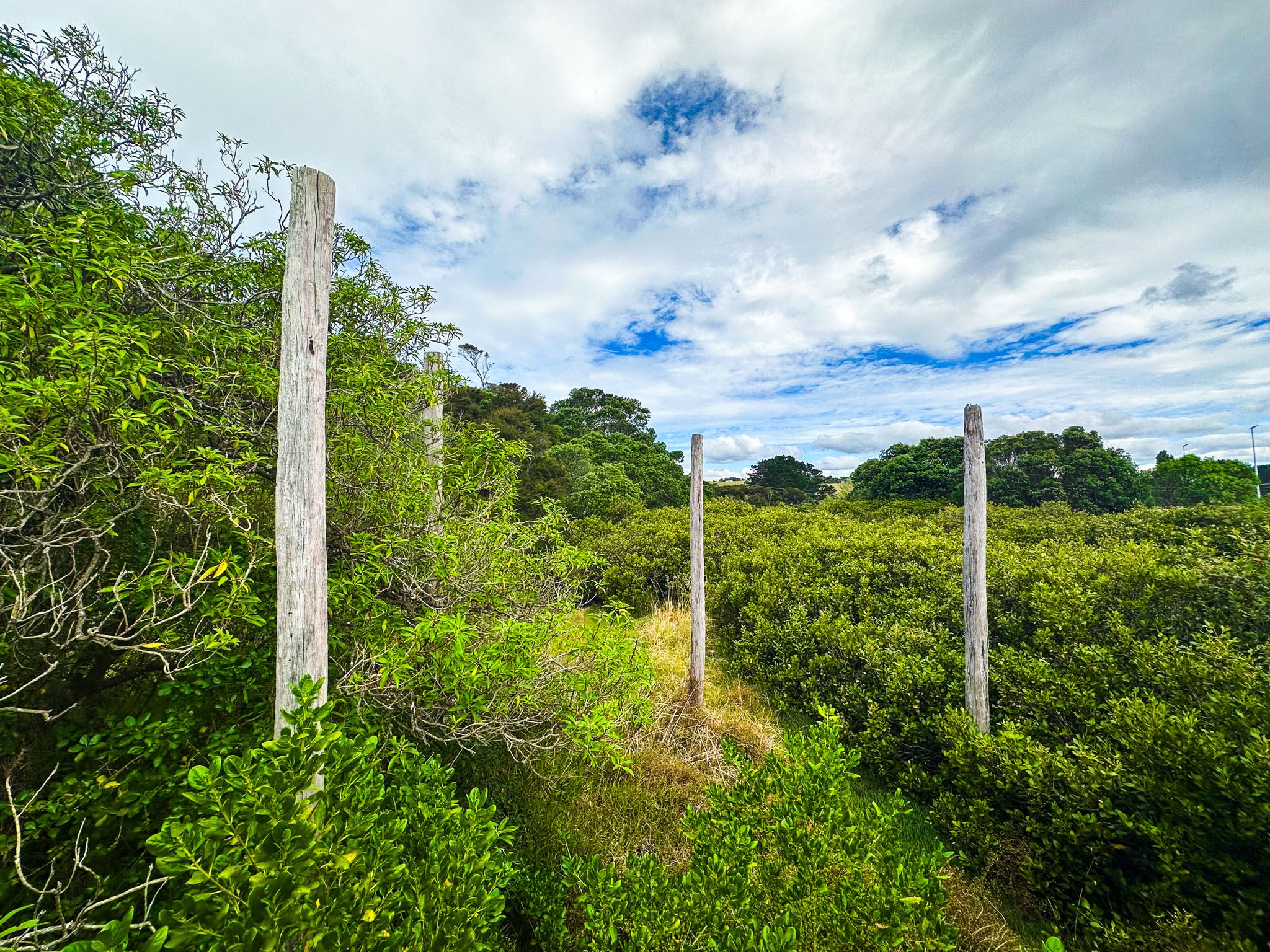
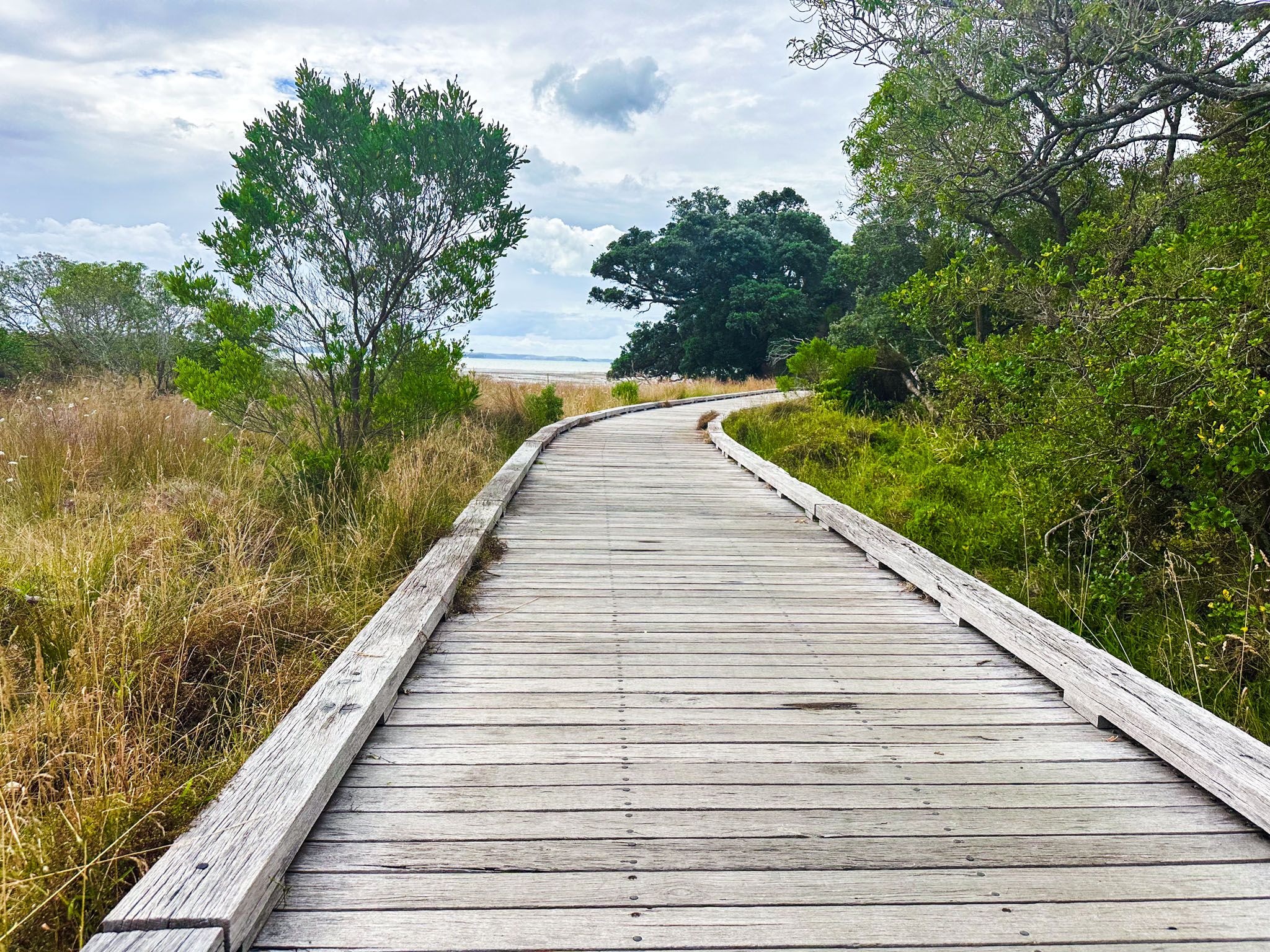
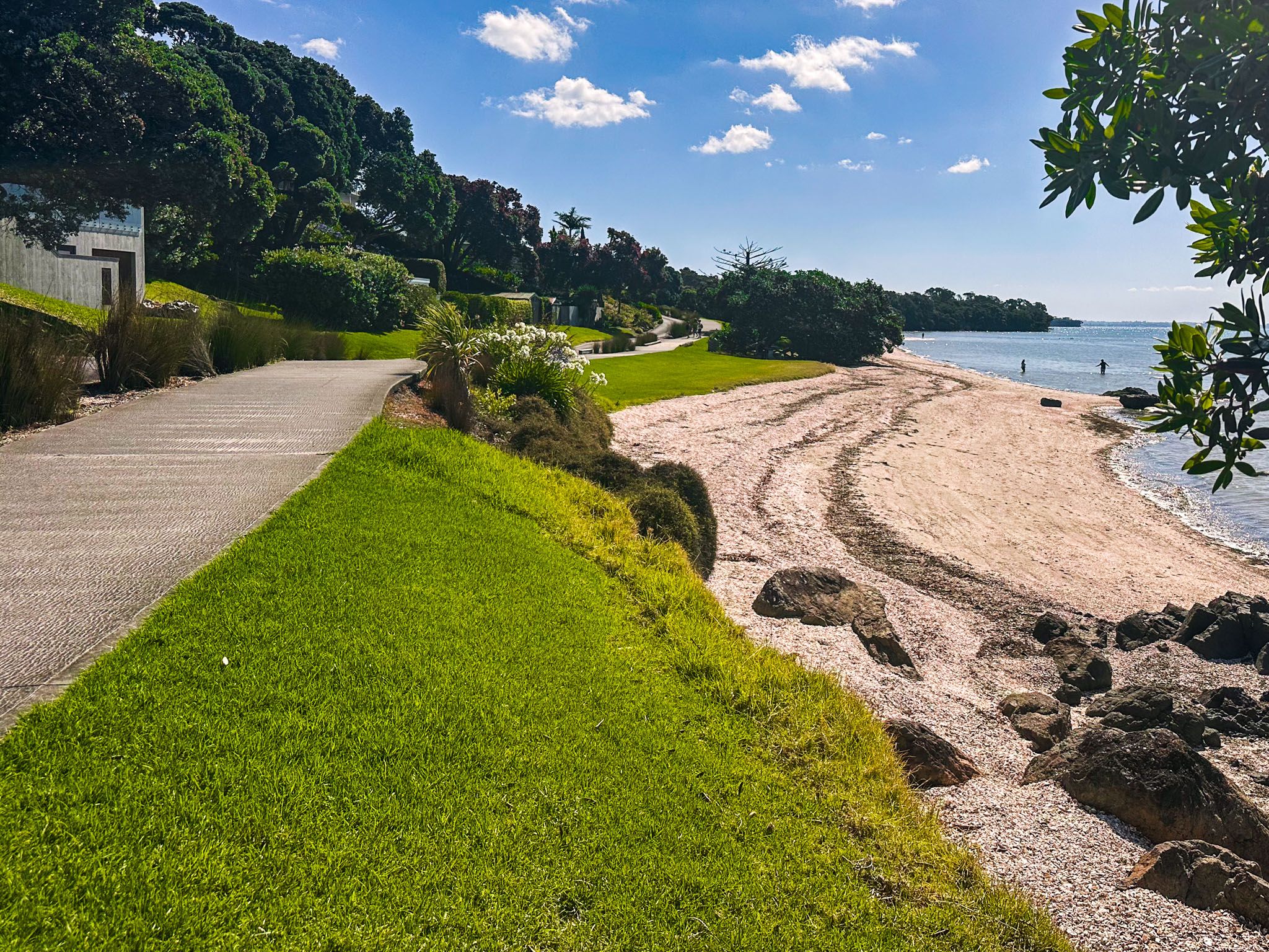
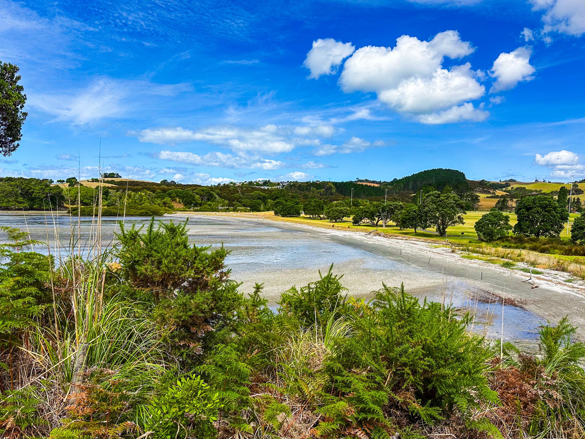
Continuing through the reserve, the path descends to Te Puru Park, a large flat area with sports fields behind Kelly Beach. The path follows the beach's edge and crosses a bridge over the Te Puru Stream near the coast to enter the regional park. From here, you can either cross the park on a sealed path, which is required for cyclists, or walkers can opt for a rougher, more interesting trail near the cliff edge.
Ōmana Beach and Maraetai Beach
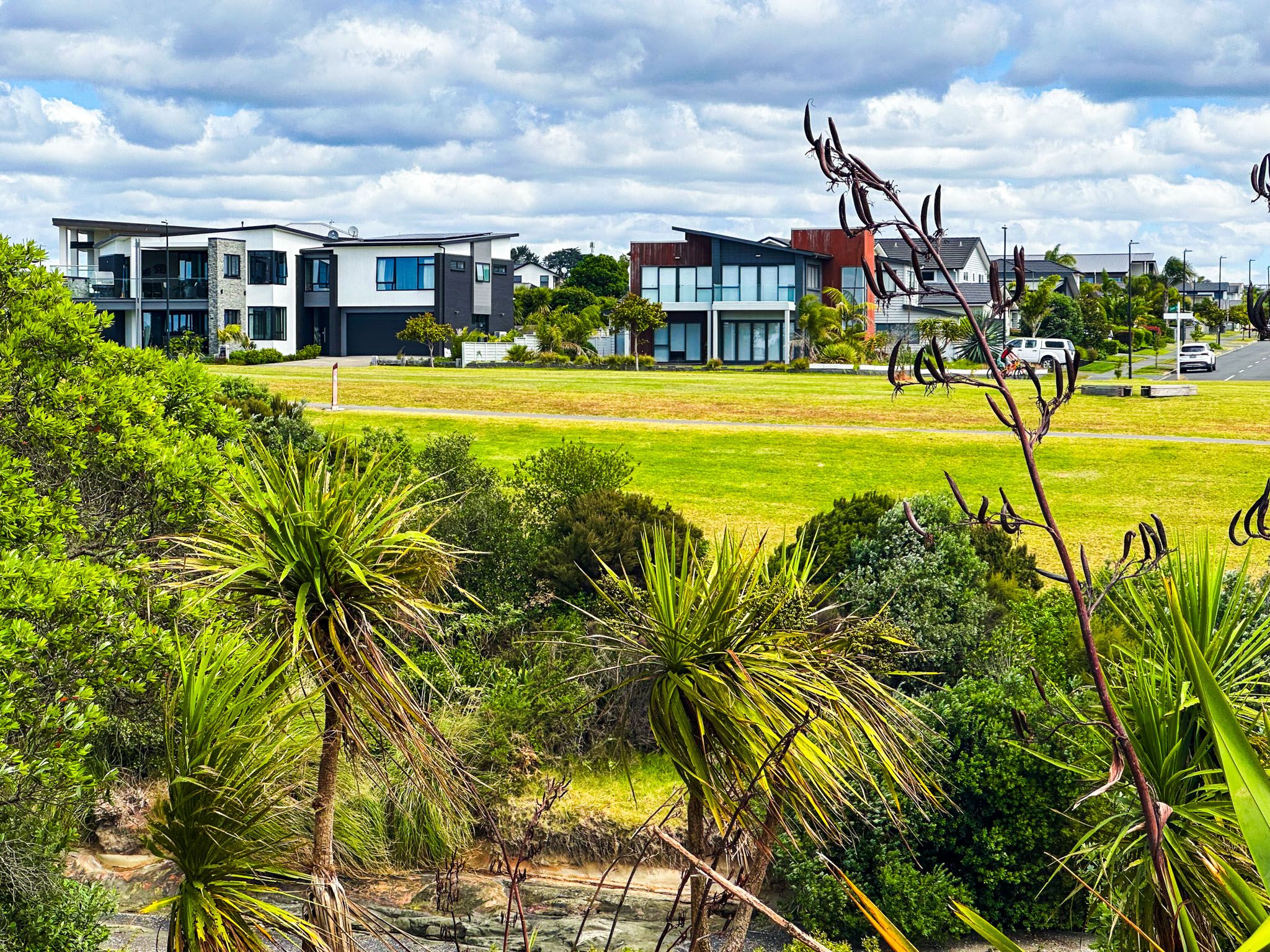
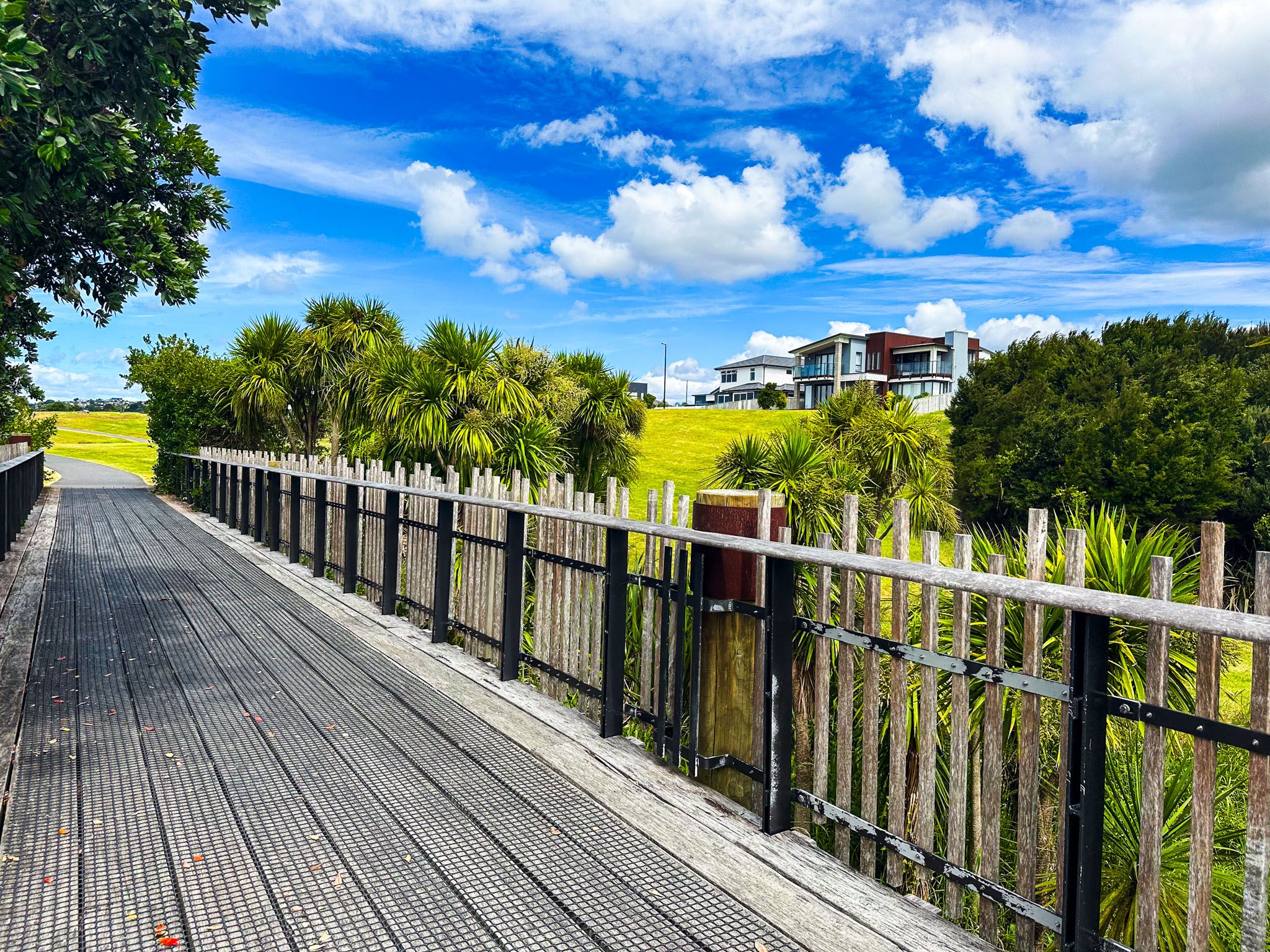
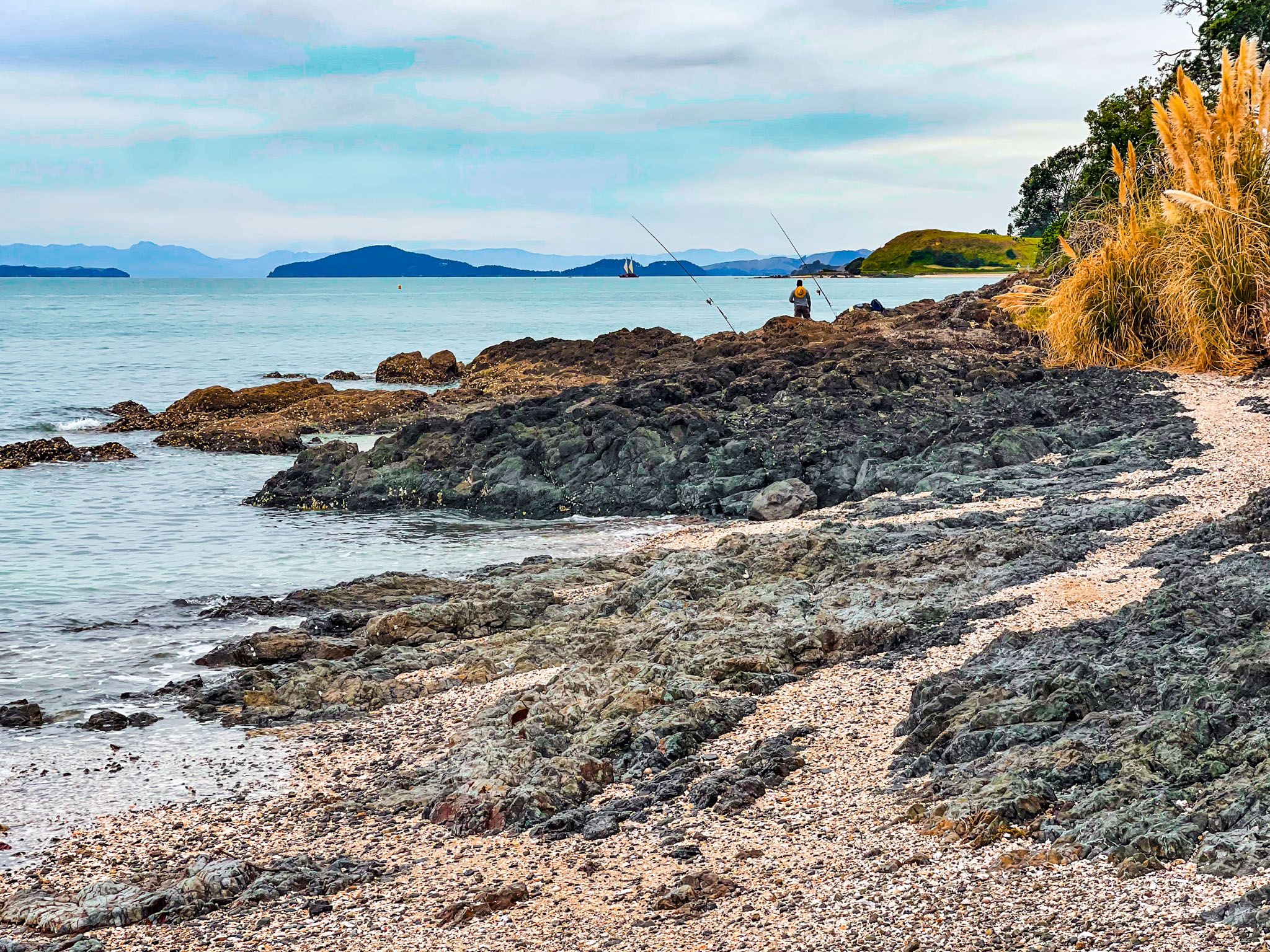
At the eastern end of the park, you will find access to Ōmana Beach, an ideal spot for swimming and less crowded than Maraetai Beach. Follow Ōmana Esplanade along the beach's edge to reach Te Pene Beach. The esplanade is lined with large modern houses. From Pene Beach, the path continues along the rocky foreshore, which is perfect for fishing. The path concludes at the start of the 1 km long golden sand Maraetai Beach. Here, several cafés and restaurants are located halfway along the beach, and a bus is available to take you back to Pine Harbour if you prefer not to walk.
Walking Duration and Dog Policy
The entire walk takes approximately 3 to 3.5 hours (7.5 km), with additional time if you choose to explore or swim. Dogs are allowed on most sections of the walkway, either on-lead or off-lead, provided they are under control.