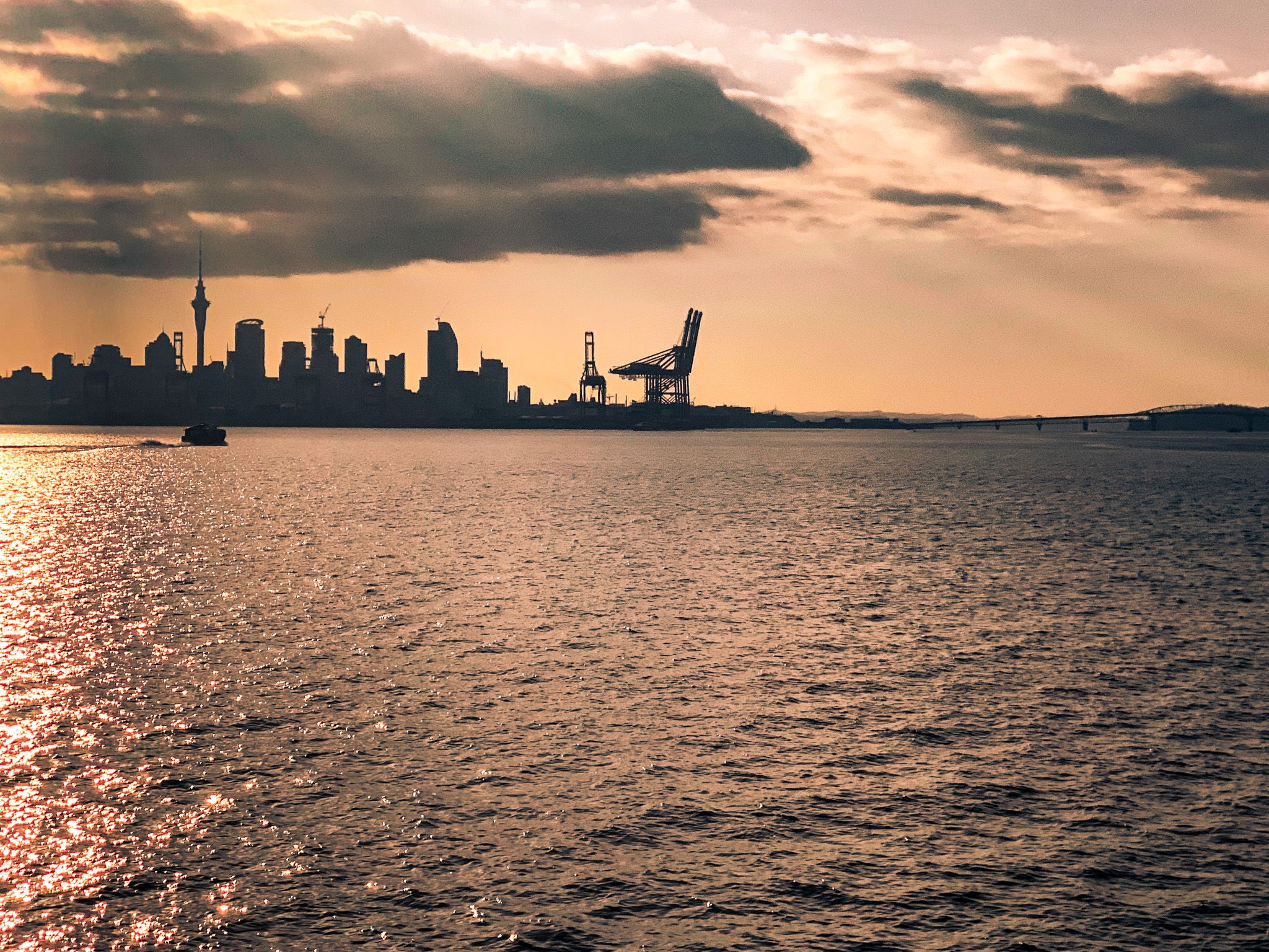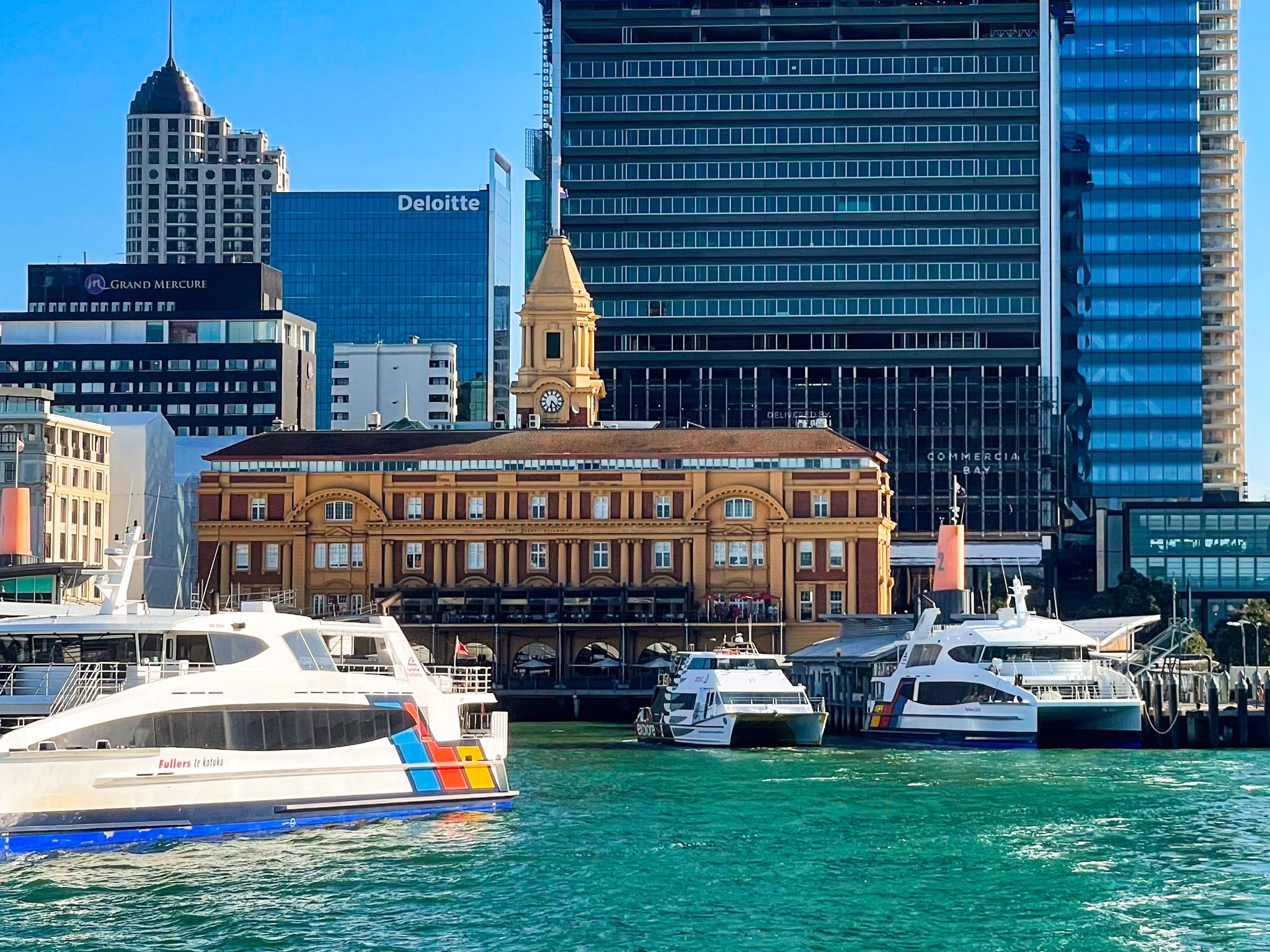
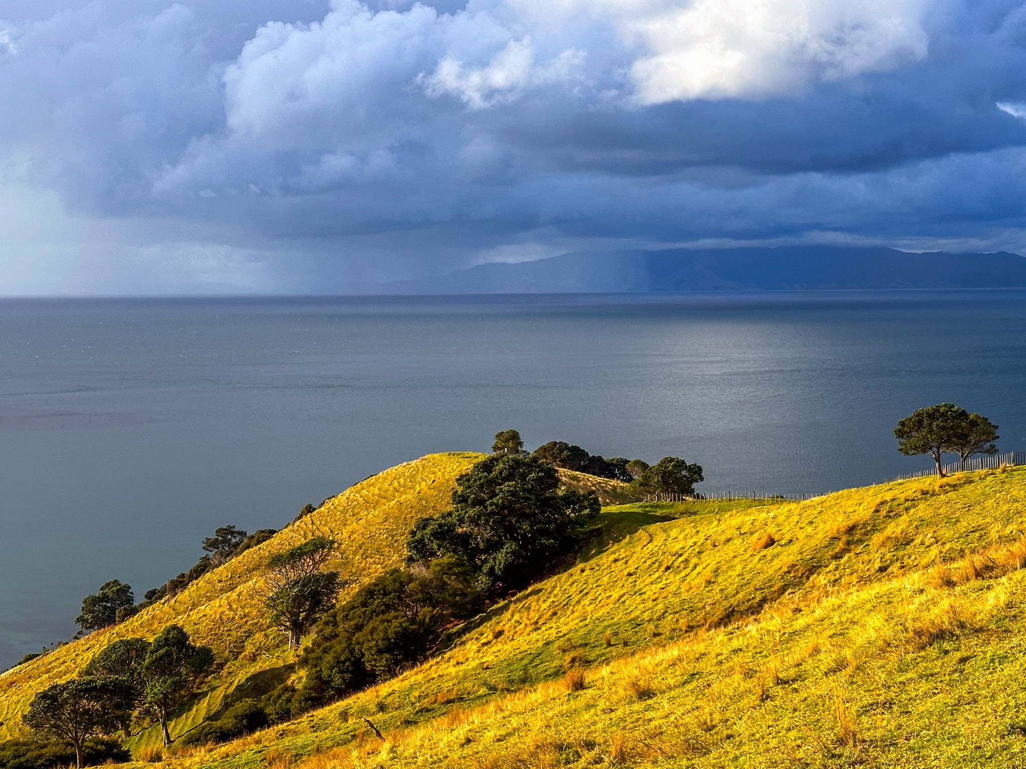
The Hauraki Gulf / Tīkapa Moana covers 4,000 square km and borders Auckland City, the Hauraki Plains, the Coromandel Peninsula, and Aotea Great Barrier Island. Much of the gulf is in the Hauraki Gulf Marine Park. The southwest end of the gulf forms the Waitematā Harbour, and the southeast end is the Firth of Thames.
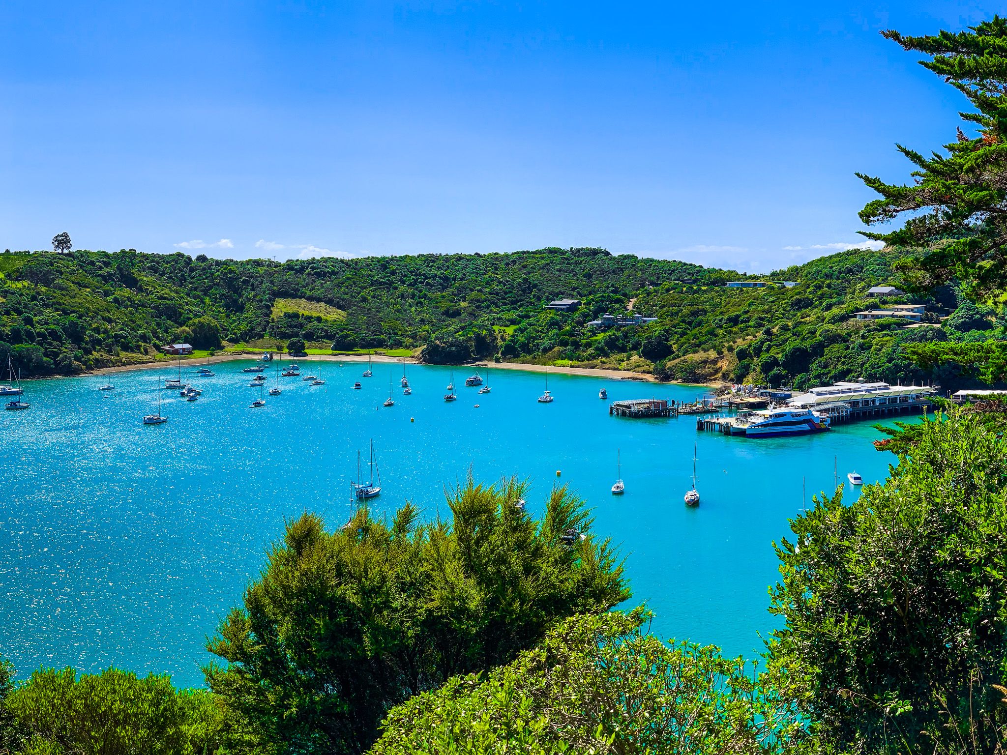
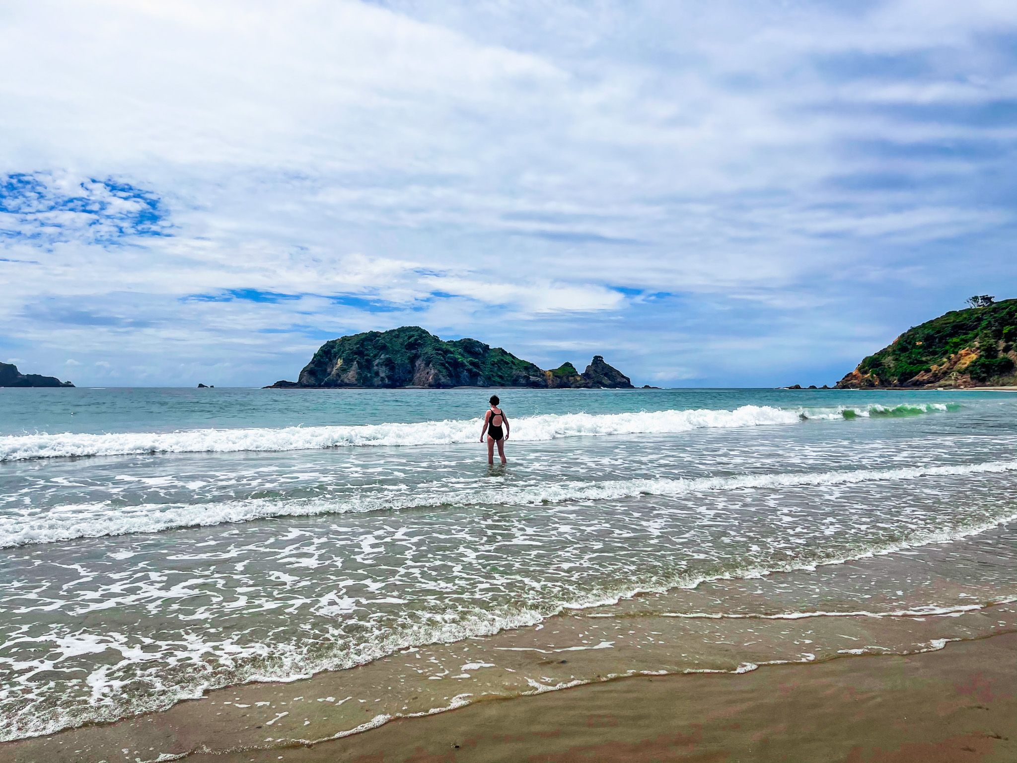
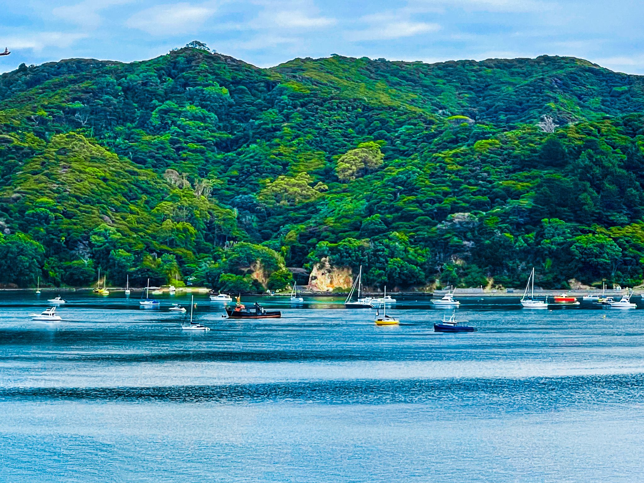
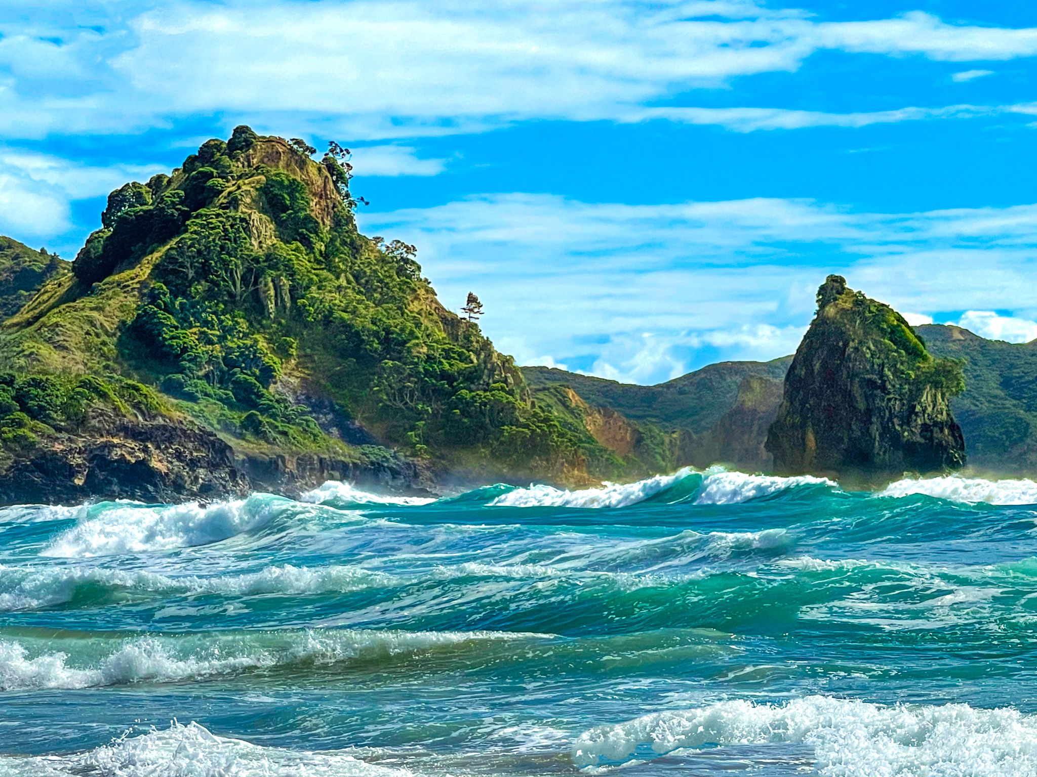
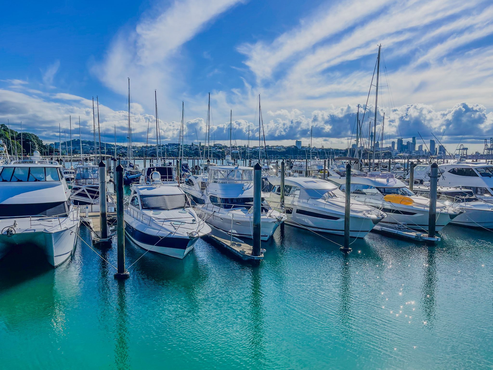
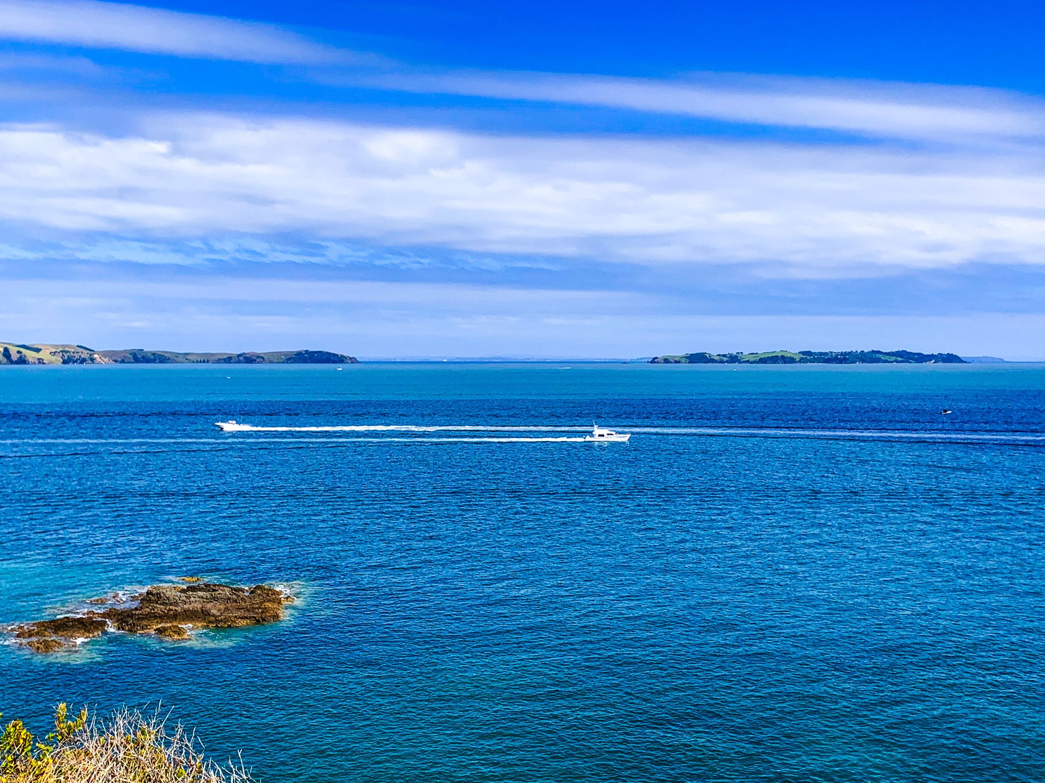
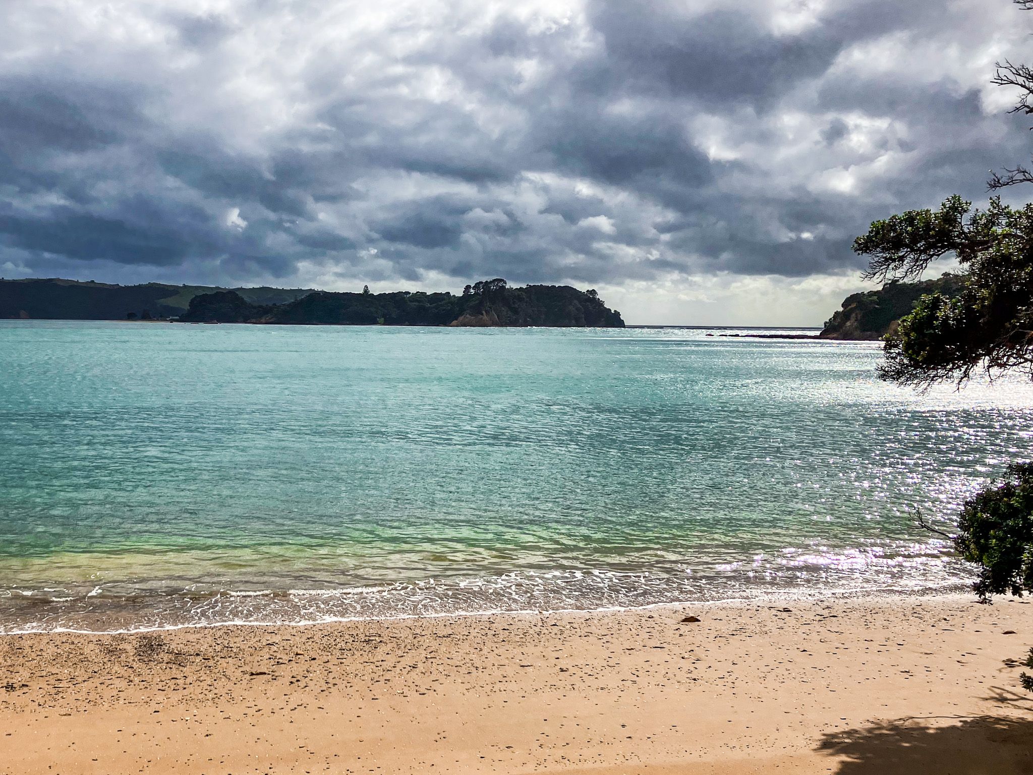
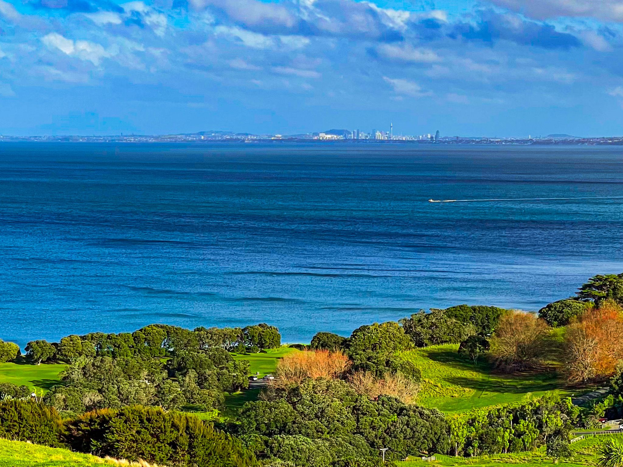
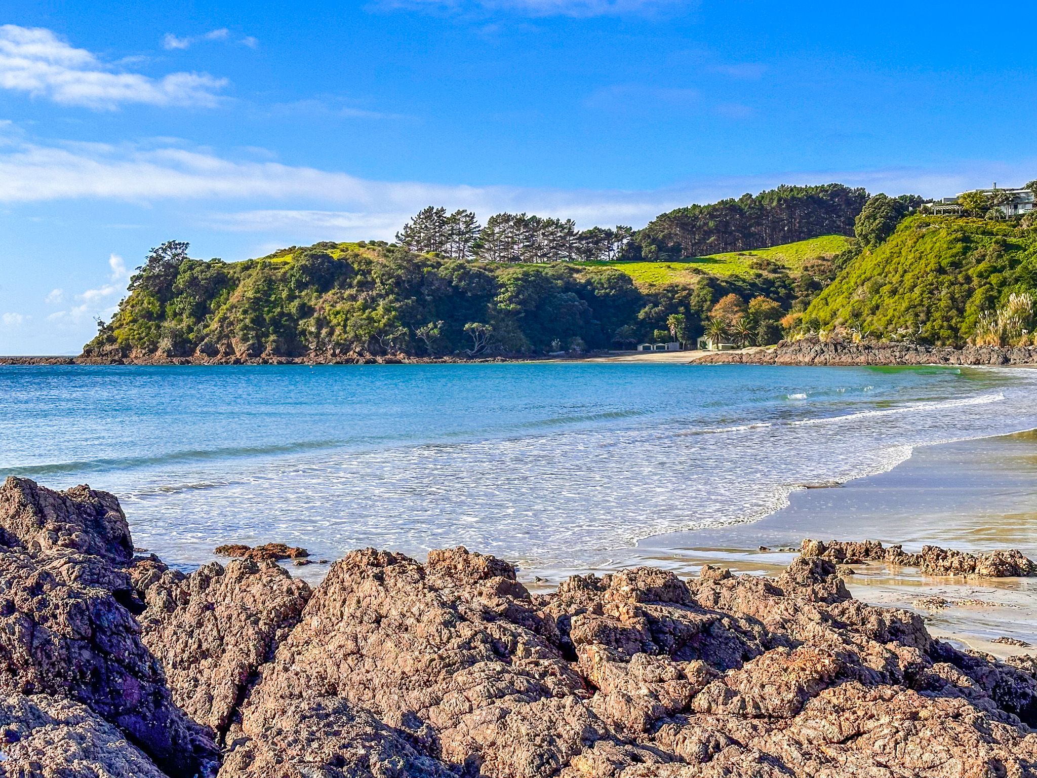
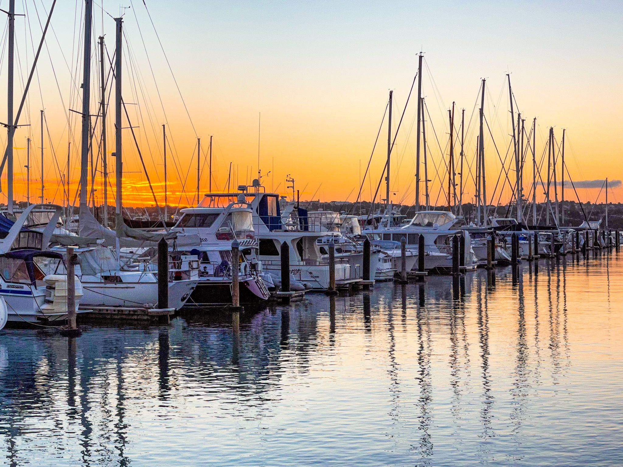
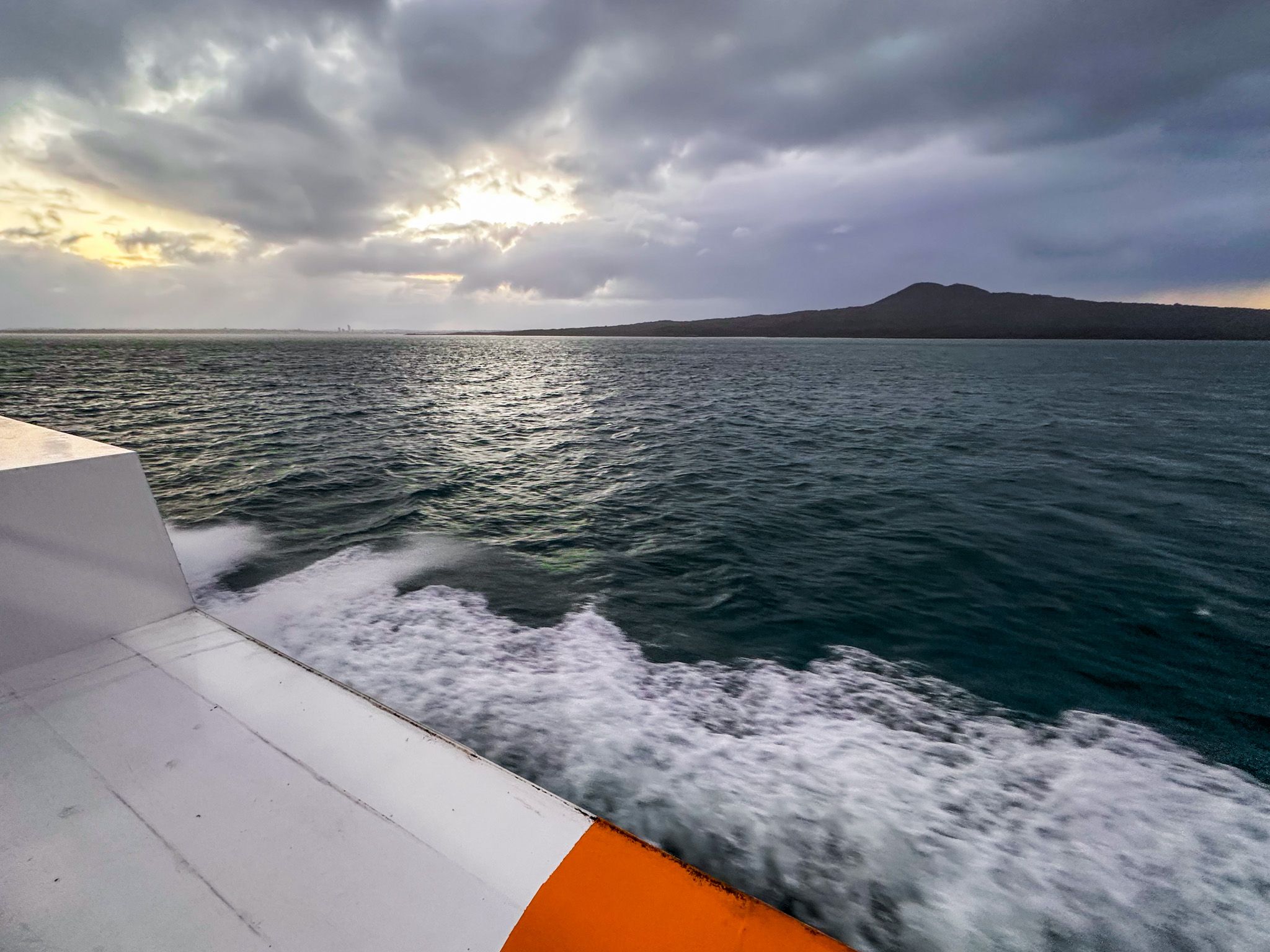
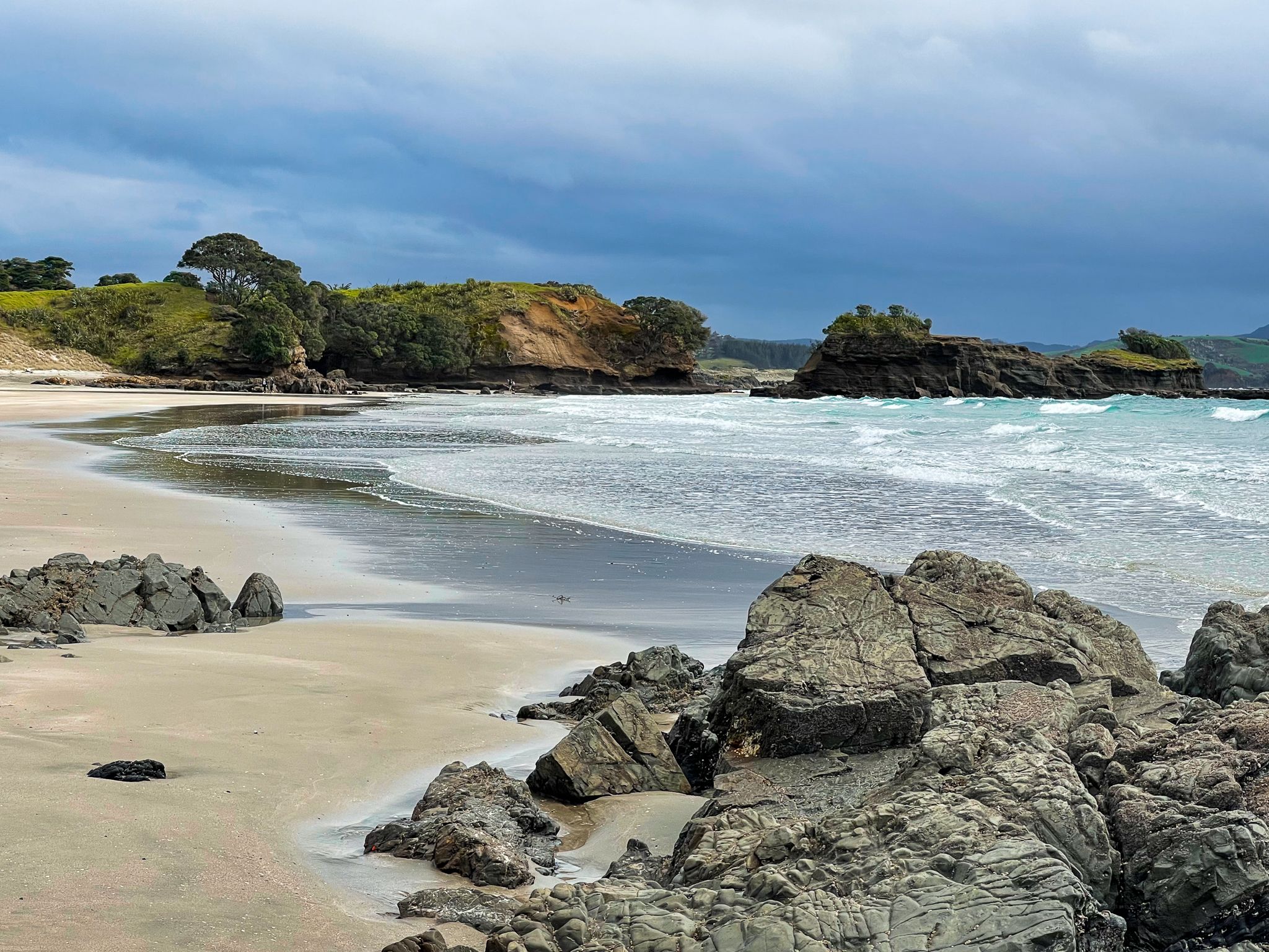
For Aucklanders, it is a major recreational area. There are 52 beaches, coastal tracks, including the North Shore Coastal Walk on the North Shore, and many islands. The islands can be accessed by ferry, mostly from Downtown Auckland. You can also hire and charter boats to explore the Gulf, do water sports, and fish.
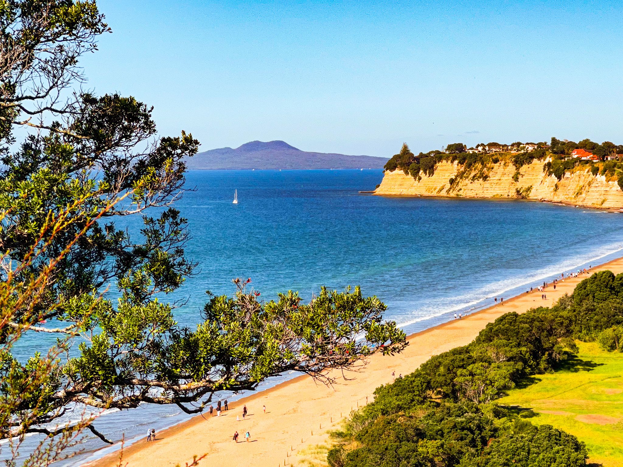
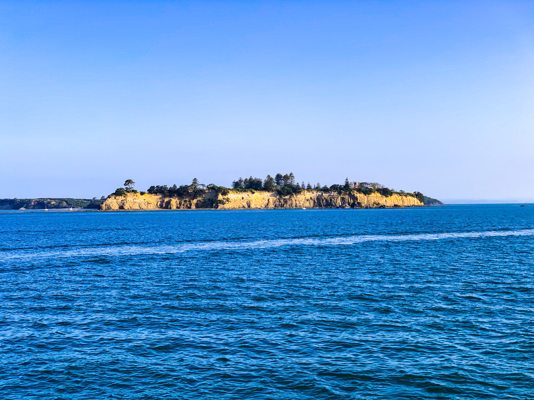
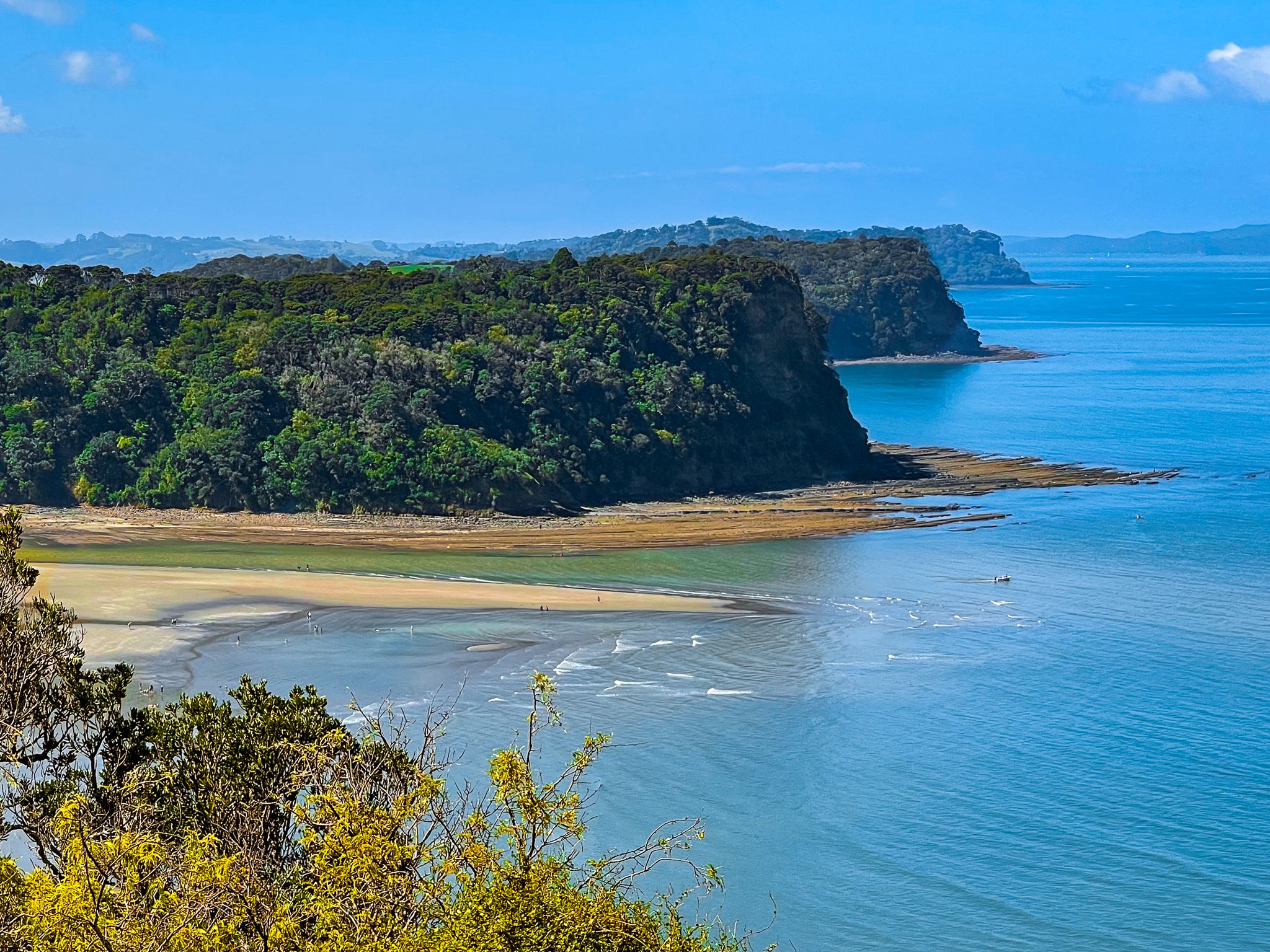
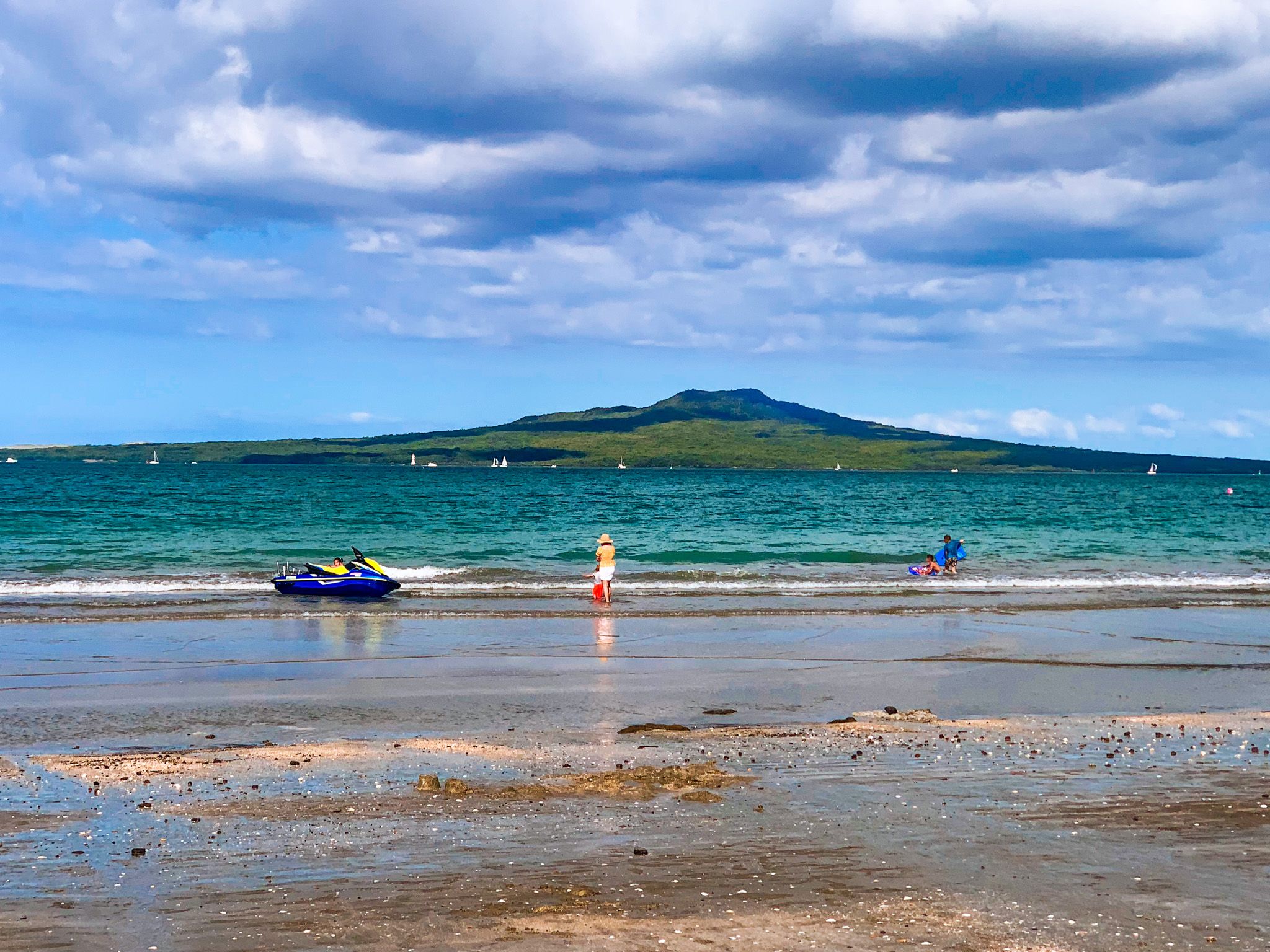
Best day trips include visiting a North Shore beach such as Cheltenham, Takapuna and Milford, a regional park such as Long Bay, Wenderholm, Shakespear and Tāwharanui, hiking to the top of Rangitoto Island, and strolling through the historical mansion house at Kawau Island. There is plenty of accommodation and many activities on the larger Waiheke and Aotea Great Barrier Islands, so consider staying for a few days. Tiritiri Matangi Island, an exceptional bird sanctuary, and Rotoroa Island. Rotoroa offers a rich history, beautiful beaches, walking trails, heritage buildings, and a museum.
The Hauraki Gulf Marine Park is the largest marine reserve in the country. Dolphins, whales and orcas are present, and nearly a third of the world's marine mammal species live in or visit the Park. This includes Bryde's whales, humpback whales, southern blue whales, pygmy blue whales, southern right whales, and southern minke whales. Sperm whales also visit occasionally. You can go on a whale and dolphin safari to see these beautiful mammals in their natural habitat. For Māori, the protection of the Hauraki Gulf is attributed to a taniwha named Ureia, who takes the form of a whale.
The double name Hauraki Gulf / Tīkapa Moana has been official since 2014. Hauraki translates as “north wind” (the main direction for wind in the gulf), and "Tīkapa Moana" translates to "the mournful sea". Although Hauraki is a Māori word, Tīkapa Moana captures the historic relationship of Tāmaki Māori to the gulf. In Māori histories, the crews of the migratory canoes Tainui and Arawa from Raiatea met at Horuhoru Rock (Gannet Rock) in the gulf to memorialise the relatives they had lost on their journey. During the ceremony, a mauri stone named Tīkapa (representing life energy) was placed on the island, and the name Tīkapa Moana was adopted for the gulf.
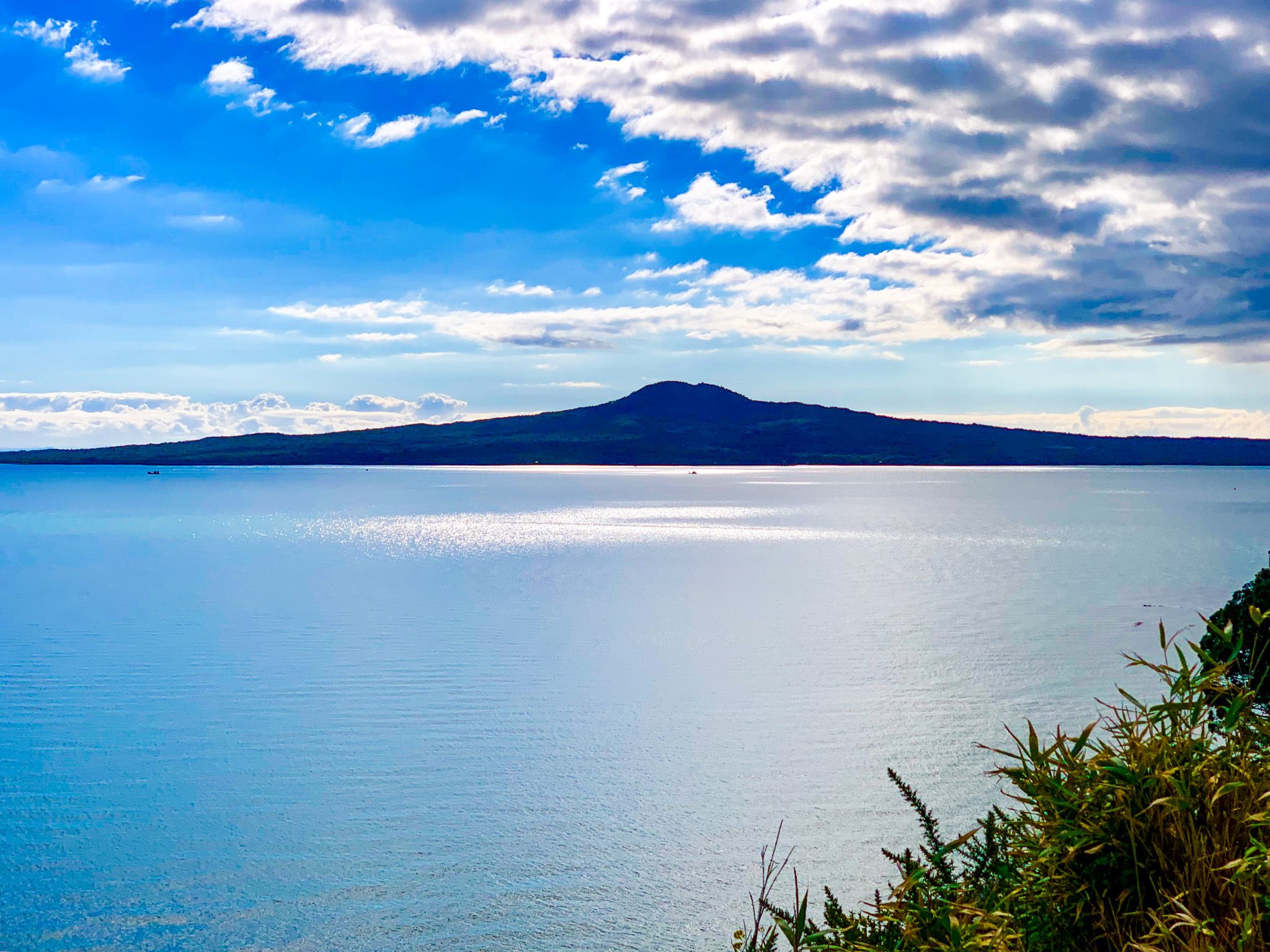
Geologically, the gulf was a plain during the last glaciation, with the sea level around 100 metres lower. It was submerged when the sea level rose to its current height around 7,000 years ago. The islands are mostly volcanic, either millions of years old and highly eroded (Aotea Great Barrier Island and Waiheke) or very young and part of the 200,000-year-old Auckland volcanic field, such as Rangitoto and Motukorea (Browns Island).
As a safety tip, some central Auckland urban beaches sometimes have environmental issues. You can check for the latest updates here.