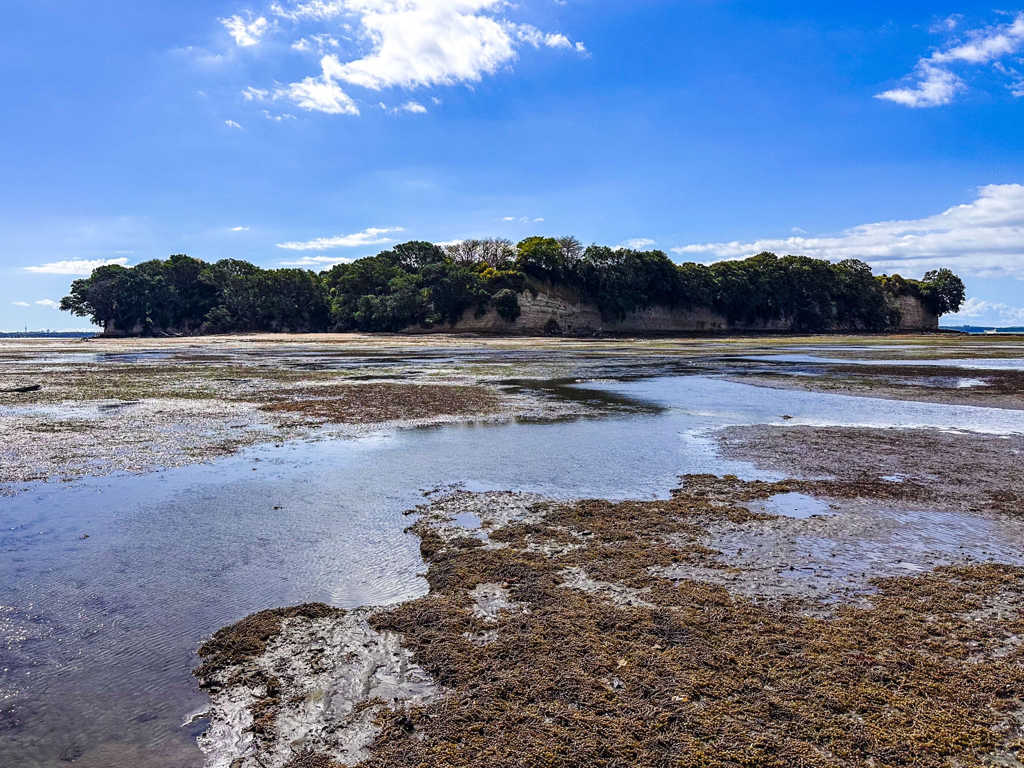
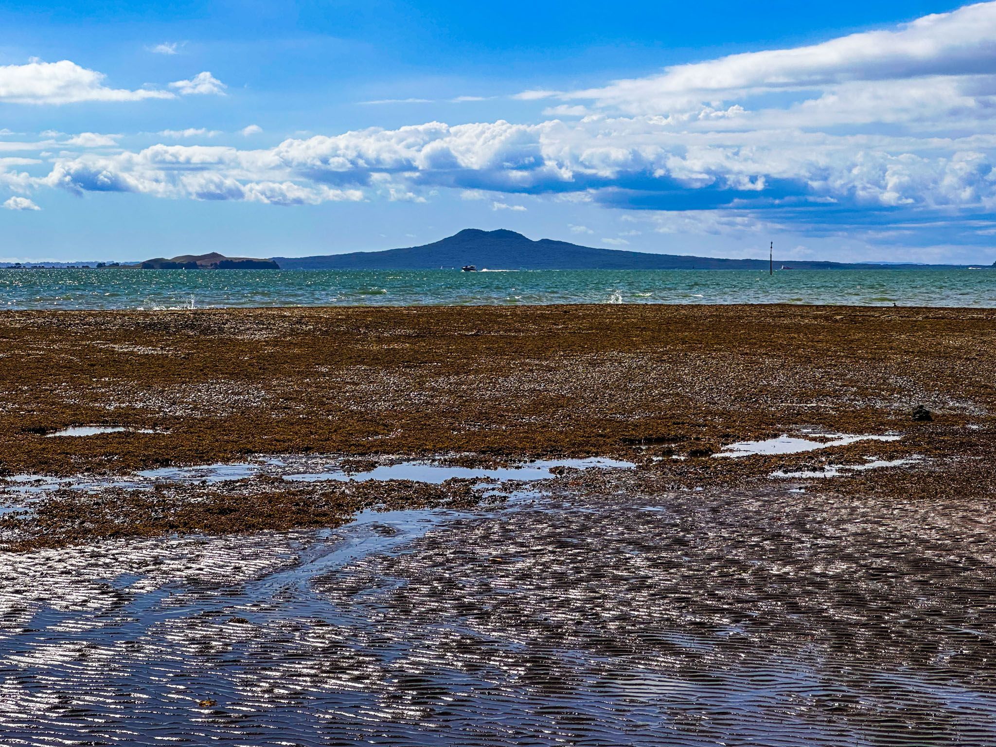
Motukaraka Island (meaning Island of the karaka tree) is a 5.7-hectare uninhabited island 500m off the coast of Beachlands in the Tāmaki Strait, on the Pōhutukawa Coast, Auckland. Also known as Flat Island, it is historically significant to Māori and is considered waahi tapu (a sacred site) by Ngāi Toi iwi.
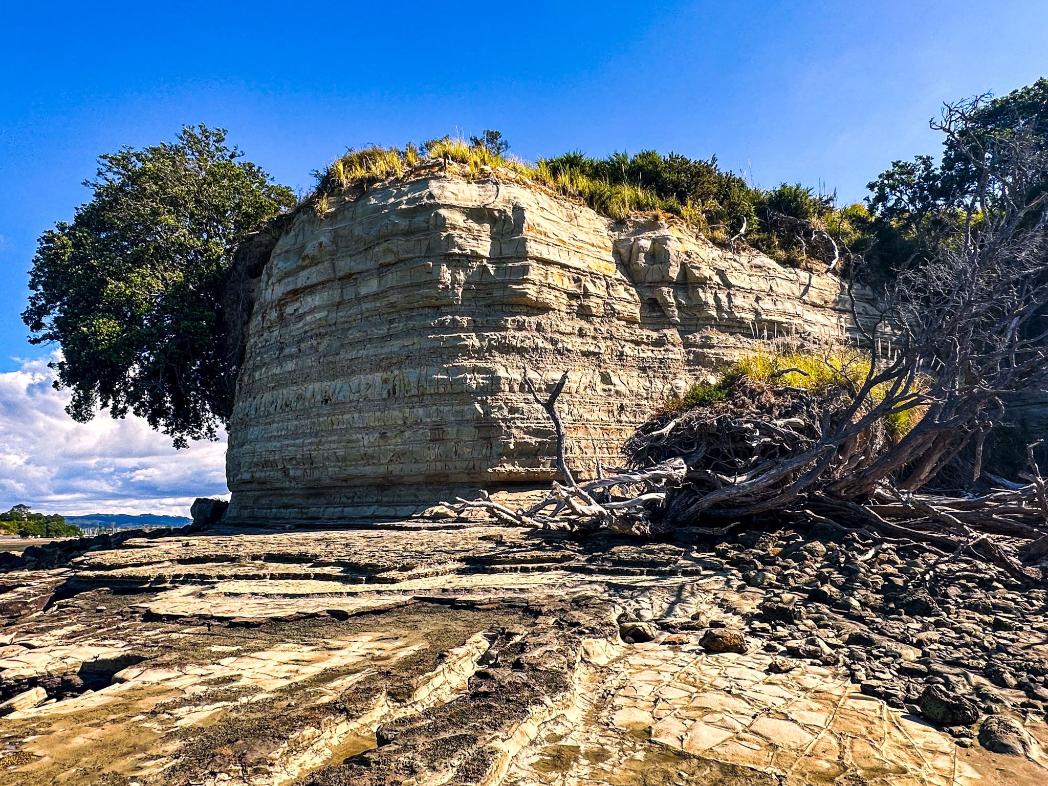
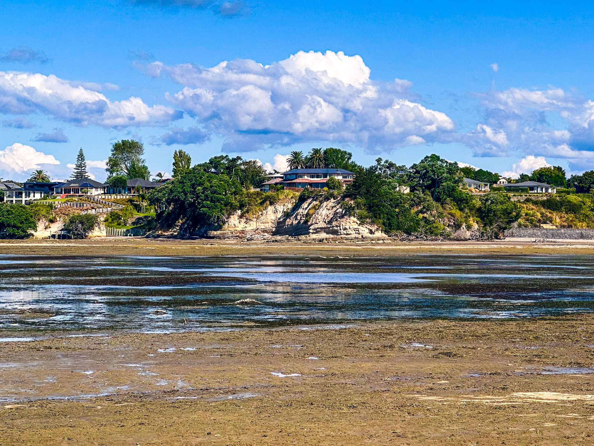
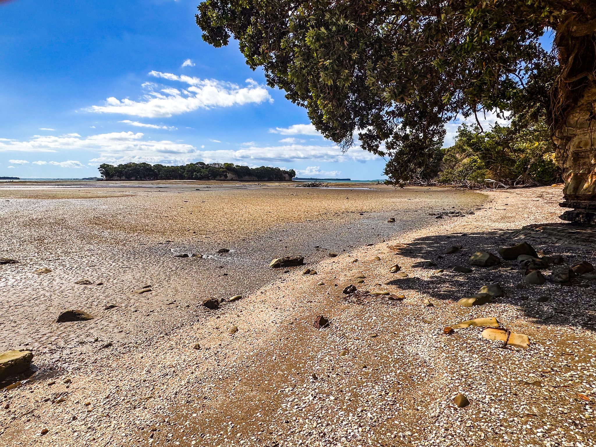
The island is also known as Flat Island and stands about 15m high, surrounded mainly by white to gold cliffs. The island is connected to the northwest corner of Beachlands by a shell bank and sand flats. You can walk across with dry feet for two hours on either side of low tide. Be mindful that the exposed area is 200 to 400 metres wide, and the best walking (to avoid mud) is towards the west side of the bank and flats.
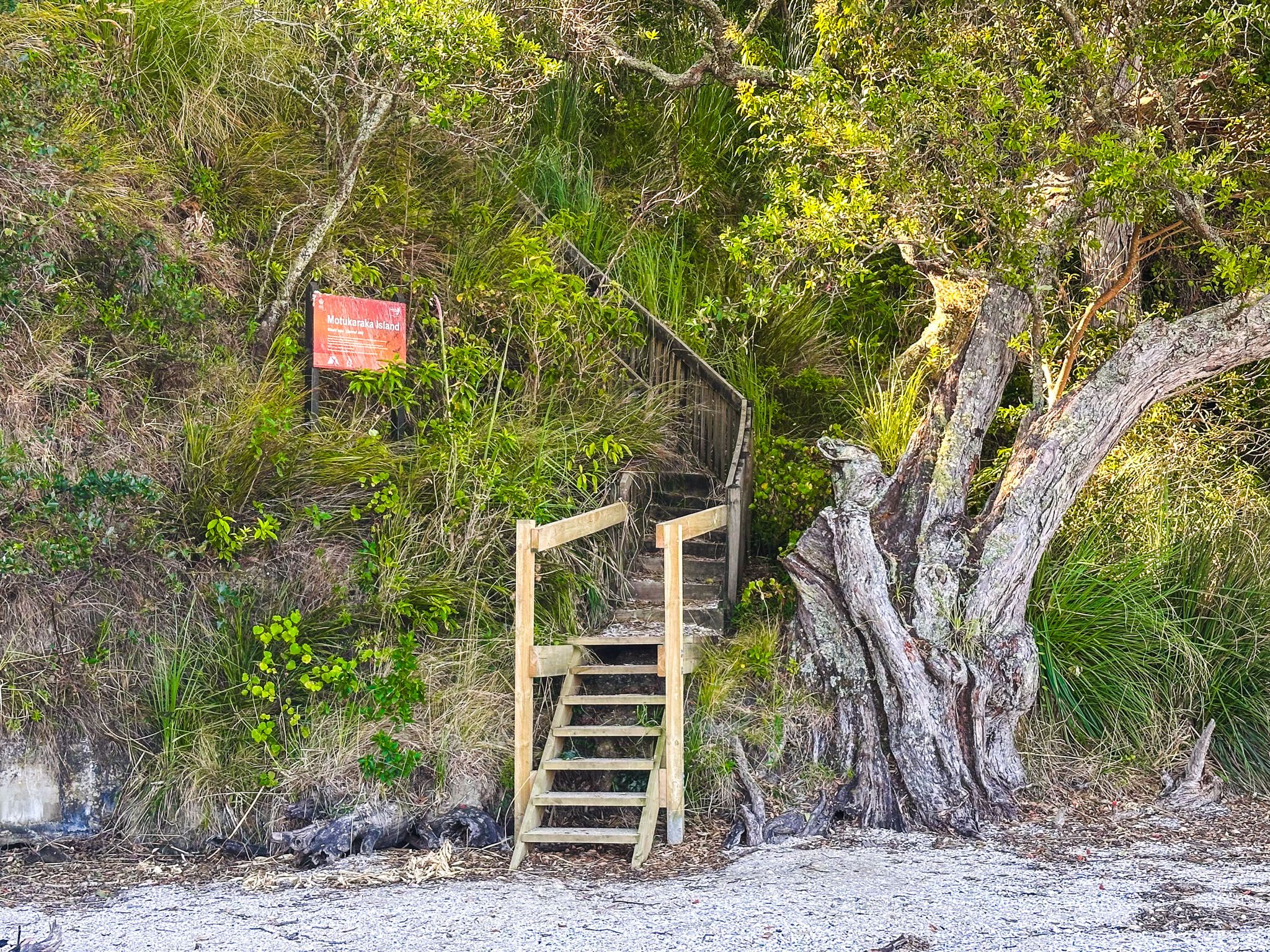
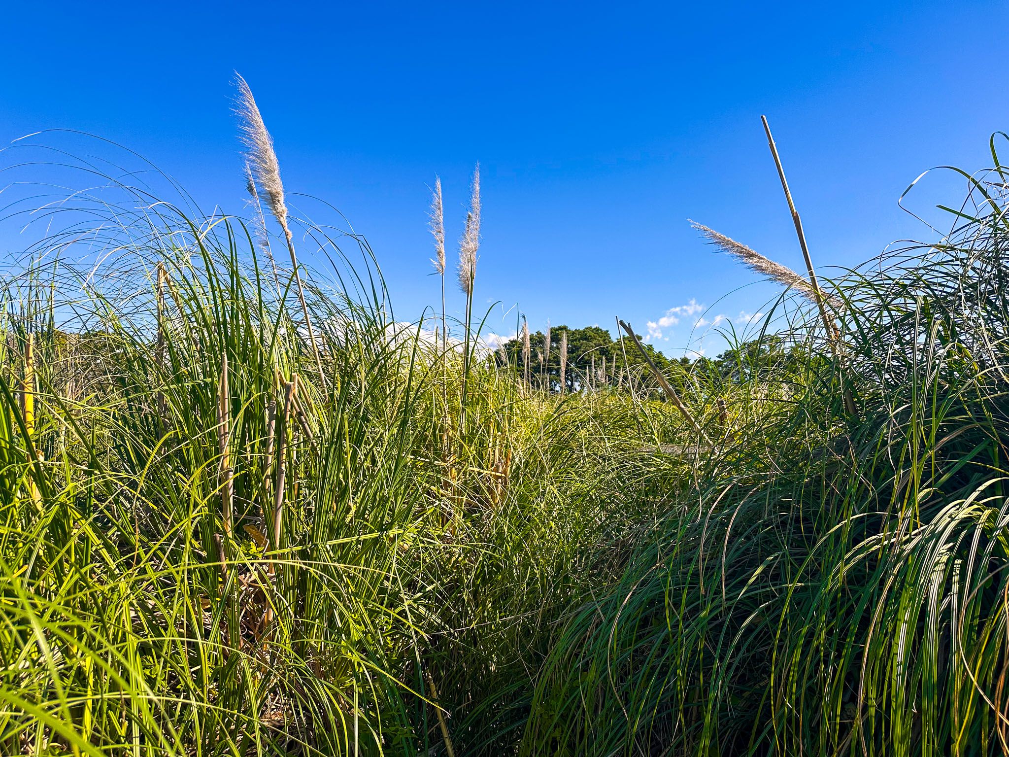
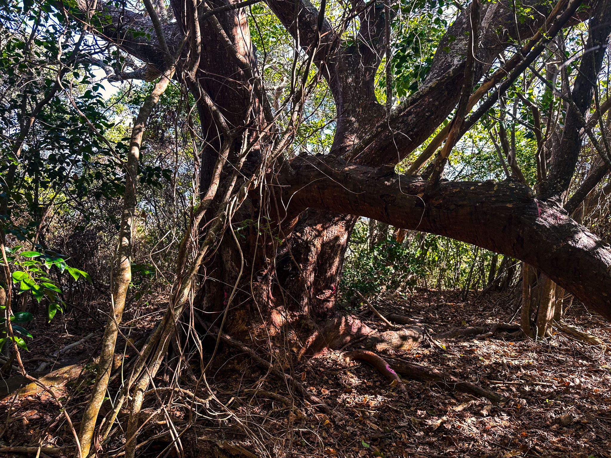
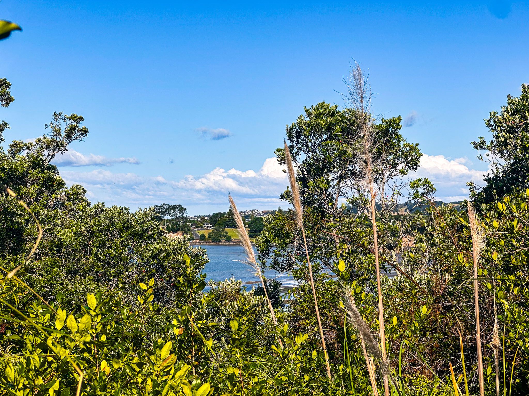
As you approach the island, you will see an attractive shell beach with steps that get you to the top. Apart from the cliff edges with pōhutukawa trees, the top is heavily overgrown by mostly tightly knit toetoe, over 2 metres high, with some young trees growing through. Rough tracks have been cut through the toetoe and scrub, and a short loop track takes you into the island's centre, where the toetoe is less intense and lower. There are also two short side tracks close to the cliff edge where you can catch glimpses of the Tāmaki Strait and Beachlands coastline. Some may feel claustrophobic wandering the track, but you can’t go far, and it’s easy to recover your bearings.
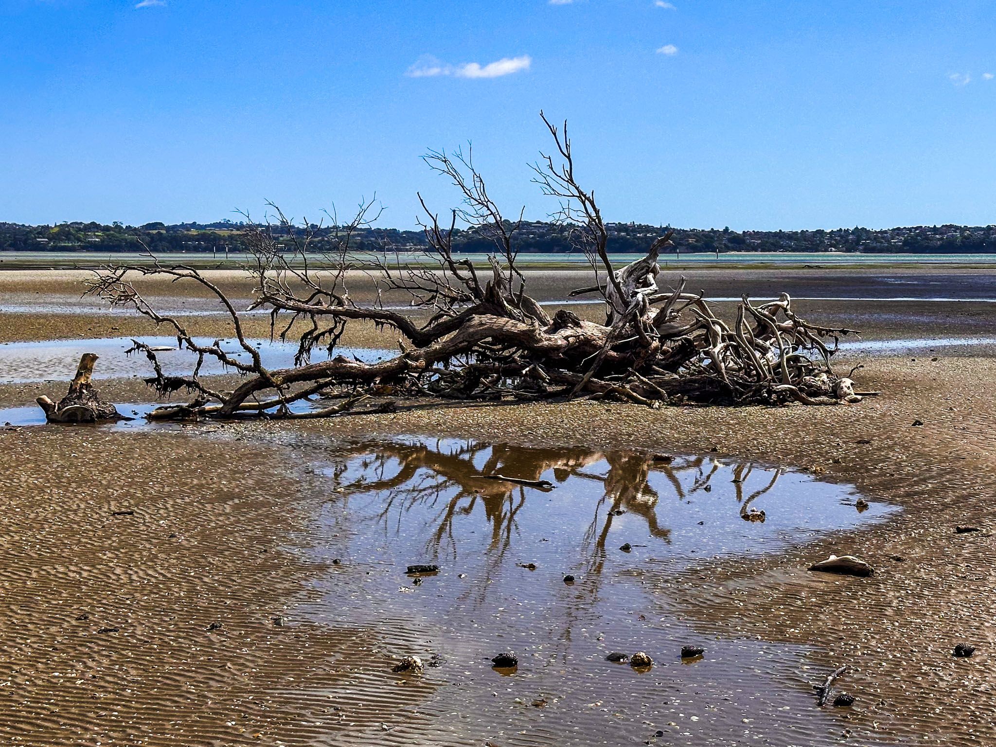


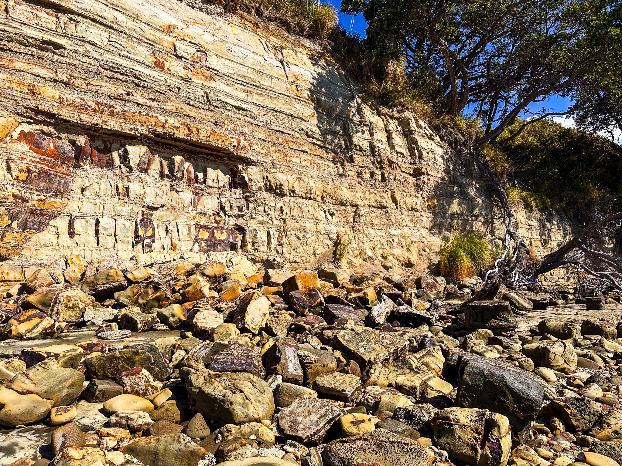
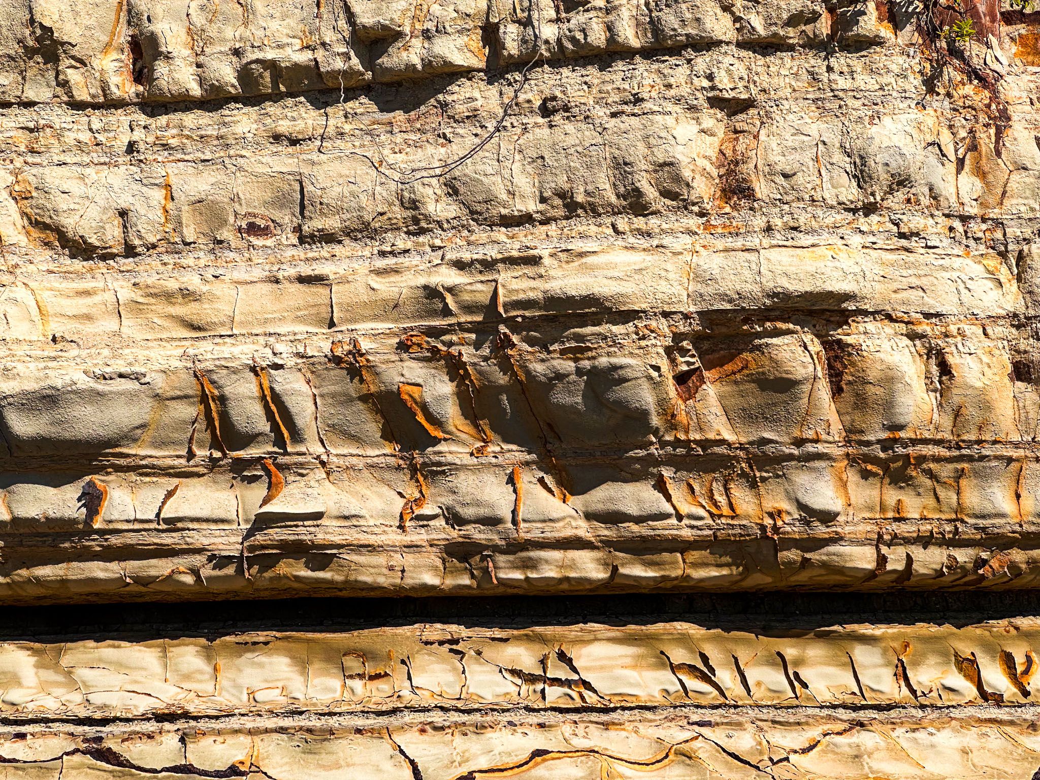
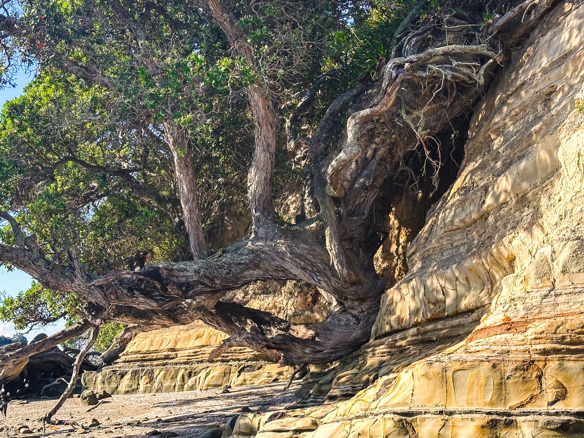
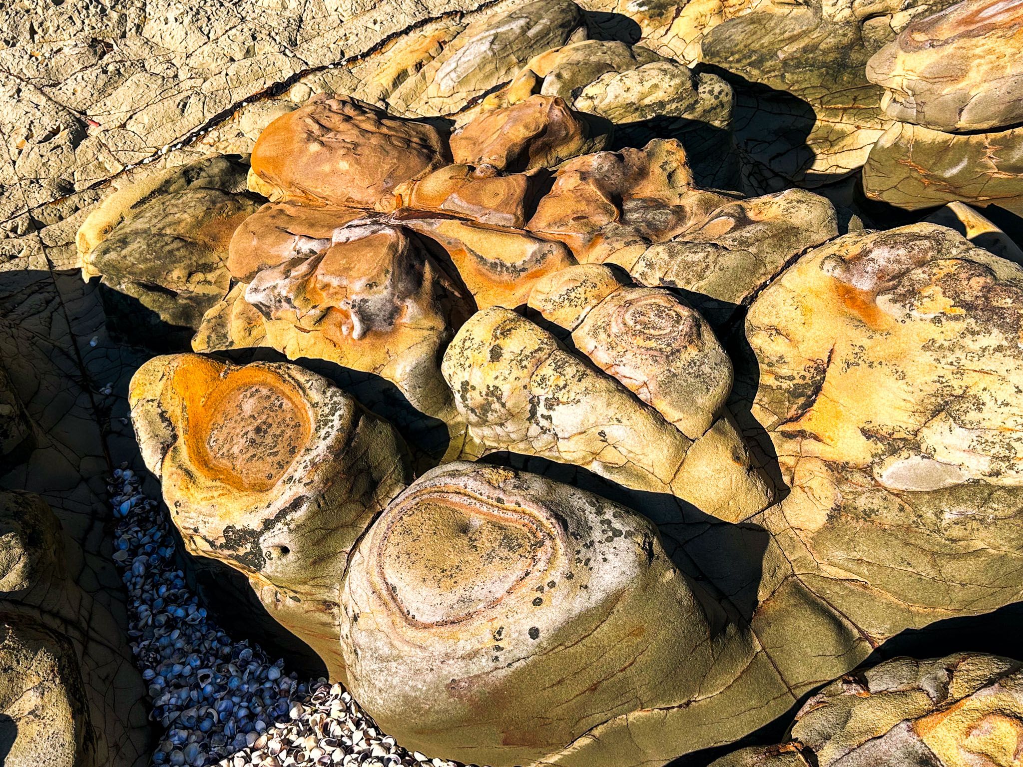
You can also walk around the island on a mostly rocky platform. There is a moderately sized cave on the west side and many examples of collapsed pōhutukawa trees and rock slips. The colours of the cliff on the sun-facing side are particularly striking: white through gold and orange. You can fish from the rock platform, while bird watchers should take their zoon lenses.
The waahi tapu arose from a battle in the late 1700s. Ngāti Pāoa iwi had a pā on the island, with about 100 people living there. A Ngāti Rongo war party used kauri spars to scale the cliffs and attacked the pā at dawn in revenge for a previous Ngāti Pāoa attack. They massacred almost all the inhabitants, including the rangitra Taeiwi. The island was left abandoned, but it was made the first scenic reserve in New Zealand in the historic category in 1905. It was also farmed for a while in the 1920s, oddly karaka, potatoes and rabbits! A fire in the 1960s destroyed most of the plants and trees. So, the island became a study on natural revegetation. However, it has taken 50 years for the natives to push out the exotic weed species, including gorse, that first appeared.
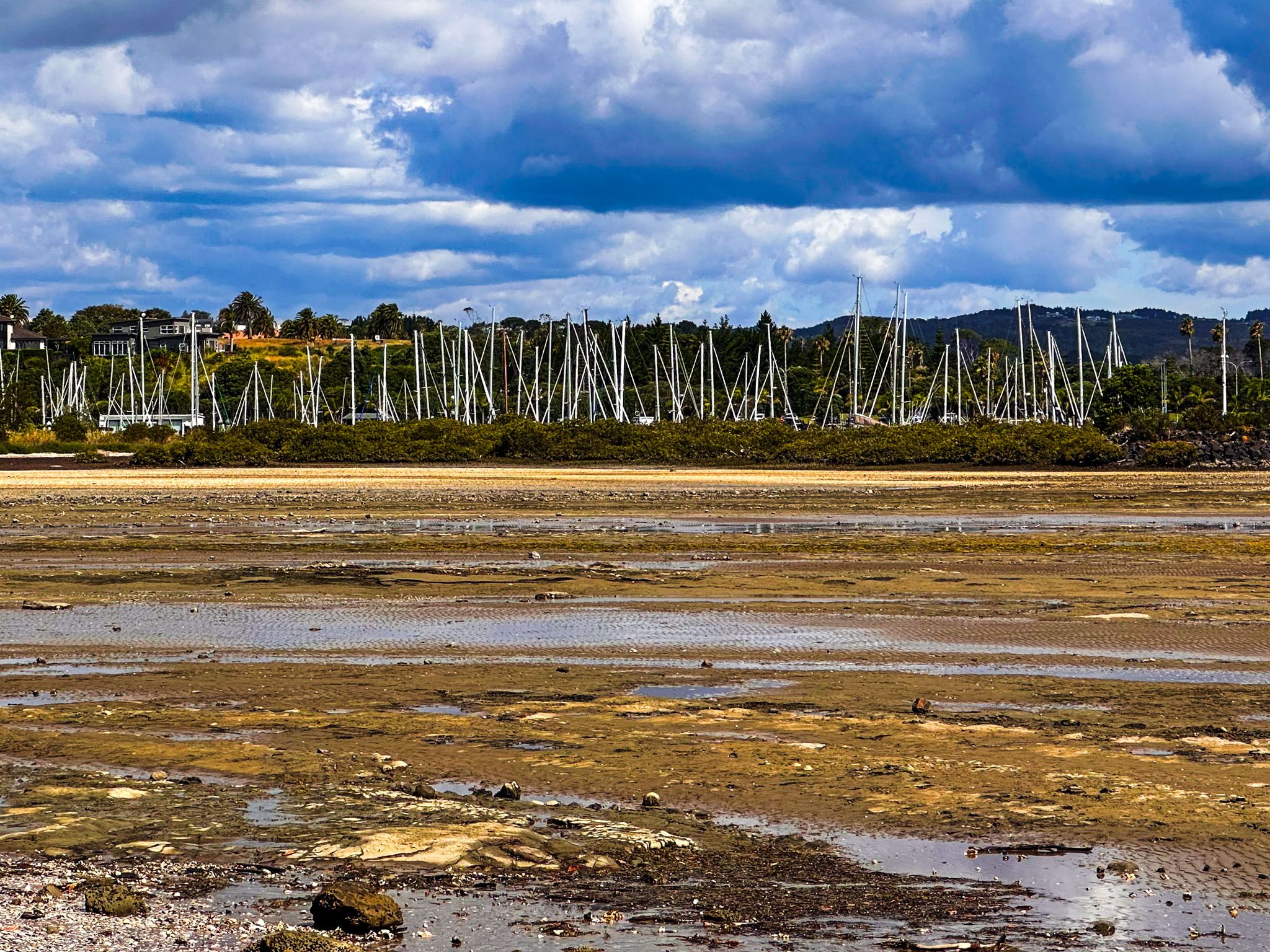
You can access the island by walking north along Belisi Way from Pine Harbour (the coastal track) or south from Green Bay Reserve at the south end of Puriri Road. This provides access to the coast below the Beachlands cliffs at low tide. Walk north along the coast and across the shell bank and sand flats to the island within 2 hours of either side of low tide. Allow about 30 minutes to reach the island, 20 minutes to walk around it and 20 minutes on the top.
There was also a shortcut down to the coast from a small park, which Google Maps shows as Motukaraka Reserve. However, the steps there have been permanently closed. You could get there from the west end of Sunkist Bay, but this is less pleasant, with a nasty patch of sludge and mud.