Exploring the Coromandel Peninsula
The Coromandel Peninsula, known in Māori as Te Tara-o-te-ika-a-Māui, is a captivating region in New Zealand. It features pristine beaches and a rugged, ancient volcanic interior rich with native forest.
The peninsula extends 85 km north from the western end of the Bay of Plenty and is up to 40 km wide. It acts as a natural barrier between the Hauraki Gulf and the Firth of Thames to the west, and the Pacific Ocean to the east. The Coromandel Range, with its highest point at Table Mountain (846 metres), runs from Karangahake Gorge towards the peninsula's tip. At the northern end, the Moehau Range reaches nearly 896 metres. Beyond this, Aotea Great Barrier Island marks the most northerly part of the 18 million-year-old Coromandel Volcanic Zone.
Cultural and Historical Significance
The Māori name, Te Tara-o-te-ika-a-Māui, translates to "the barb of Māui’s fish," referring to the legend of the demigod Māui. He used a hook to pull the North Island (Te Ika-a-Māui) from the sea, with the Coromandel representing the fish's spine.
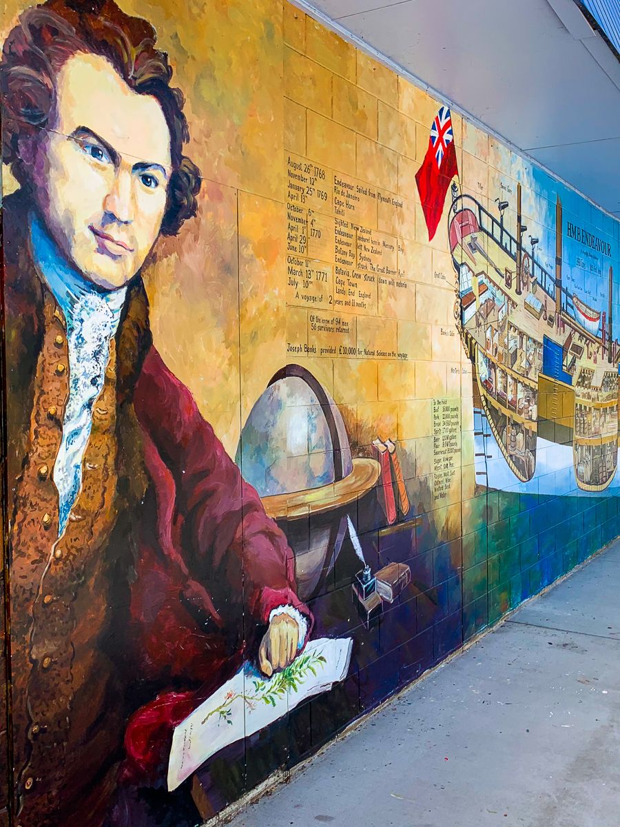
The English name comes from the HMS Coromandel, a ship that visited Coromandel Harbour in 1820 to collect kauri spars. "Coromandel" is a Portuguese transliteration of Cholamandalam, a coastal region in India. Early European history in the area focused on logging the vast kauri forests and gold mining. As these industries declined, a strong conservation movement emerged, leading to the creation of Coromandel Forest Park by the Department of Conservation (DOC), featuring mostly regenerating forest.
Natural Attractions and Activities
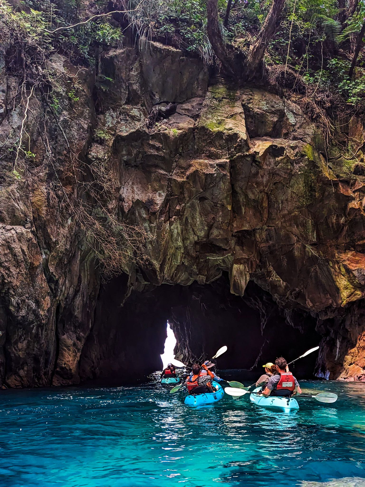
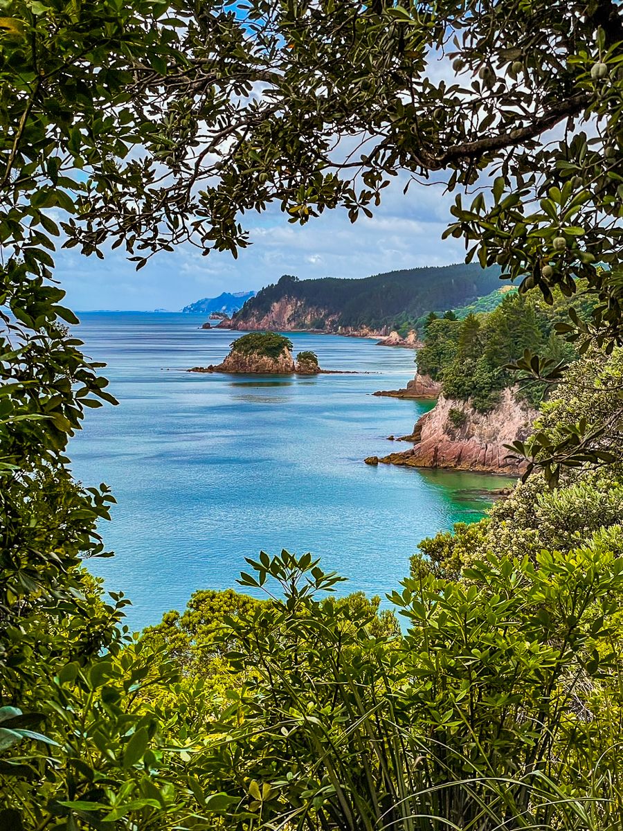
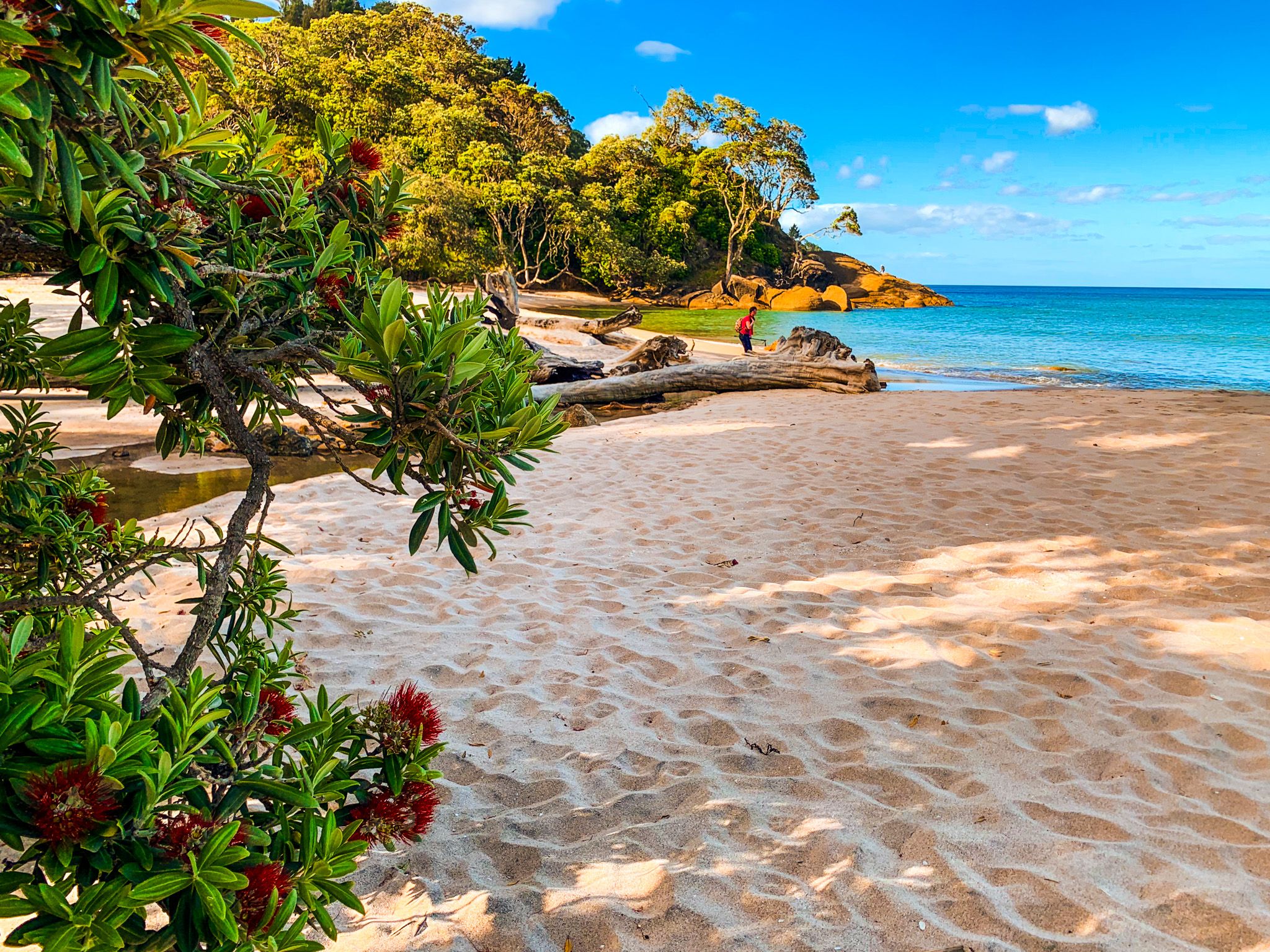
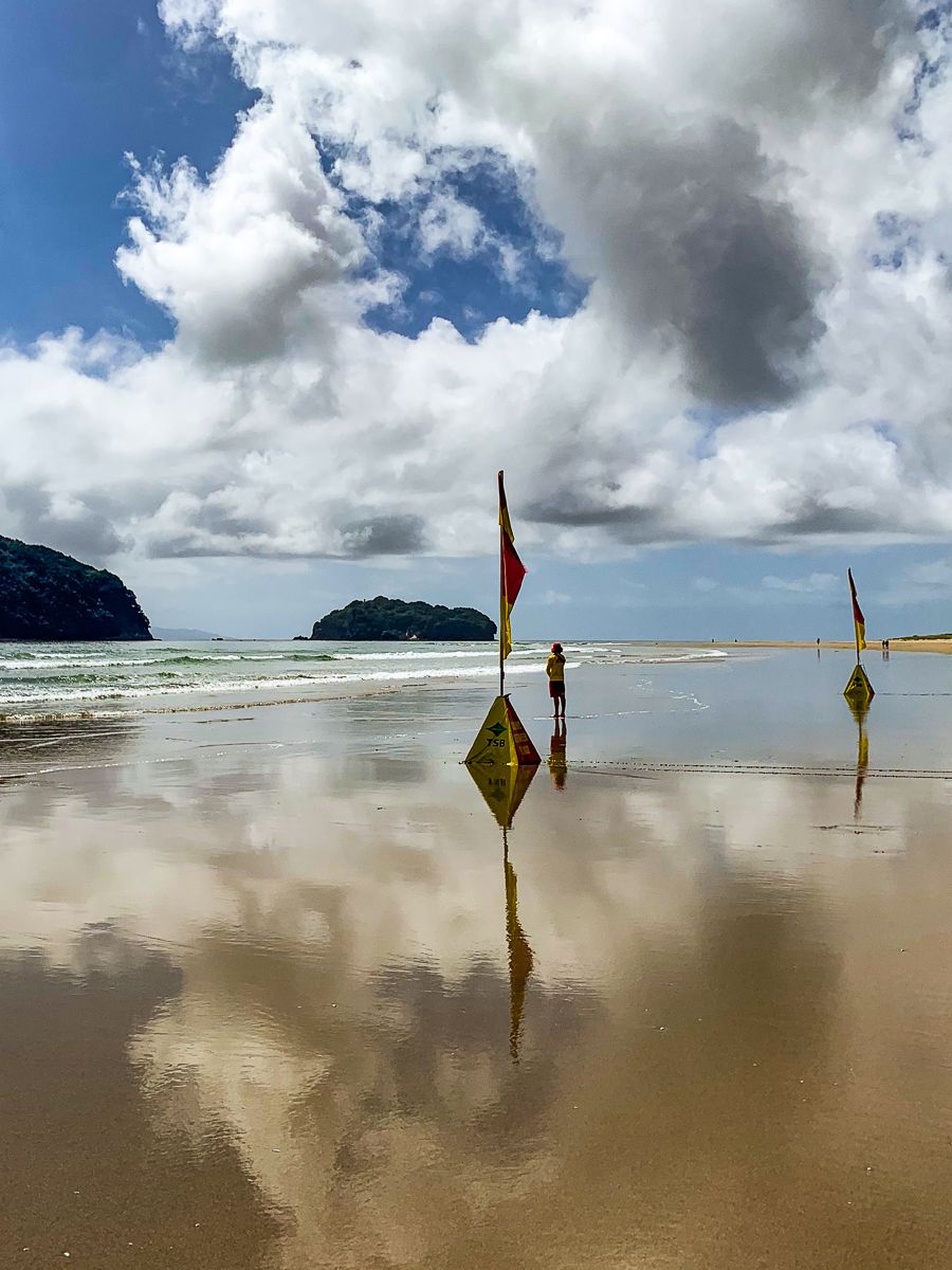
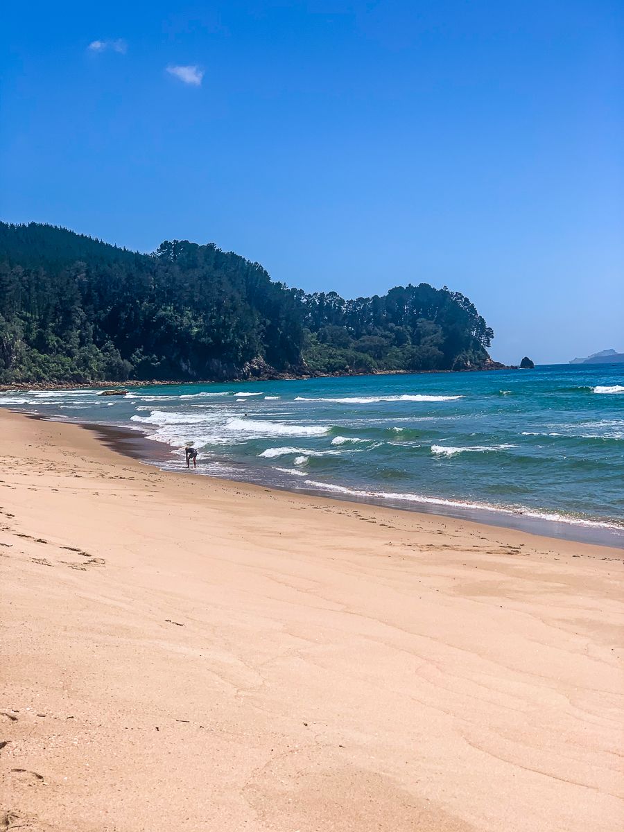
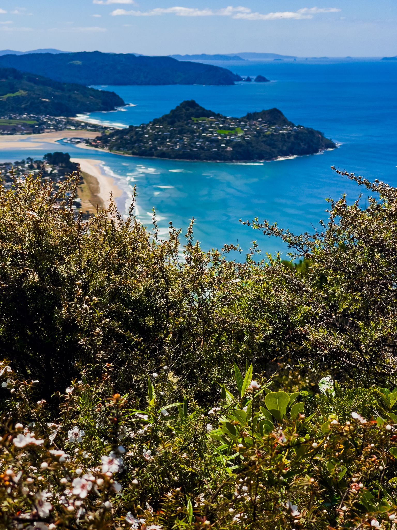
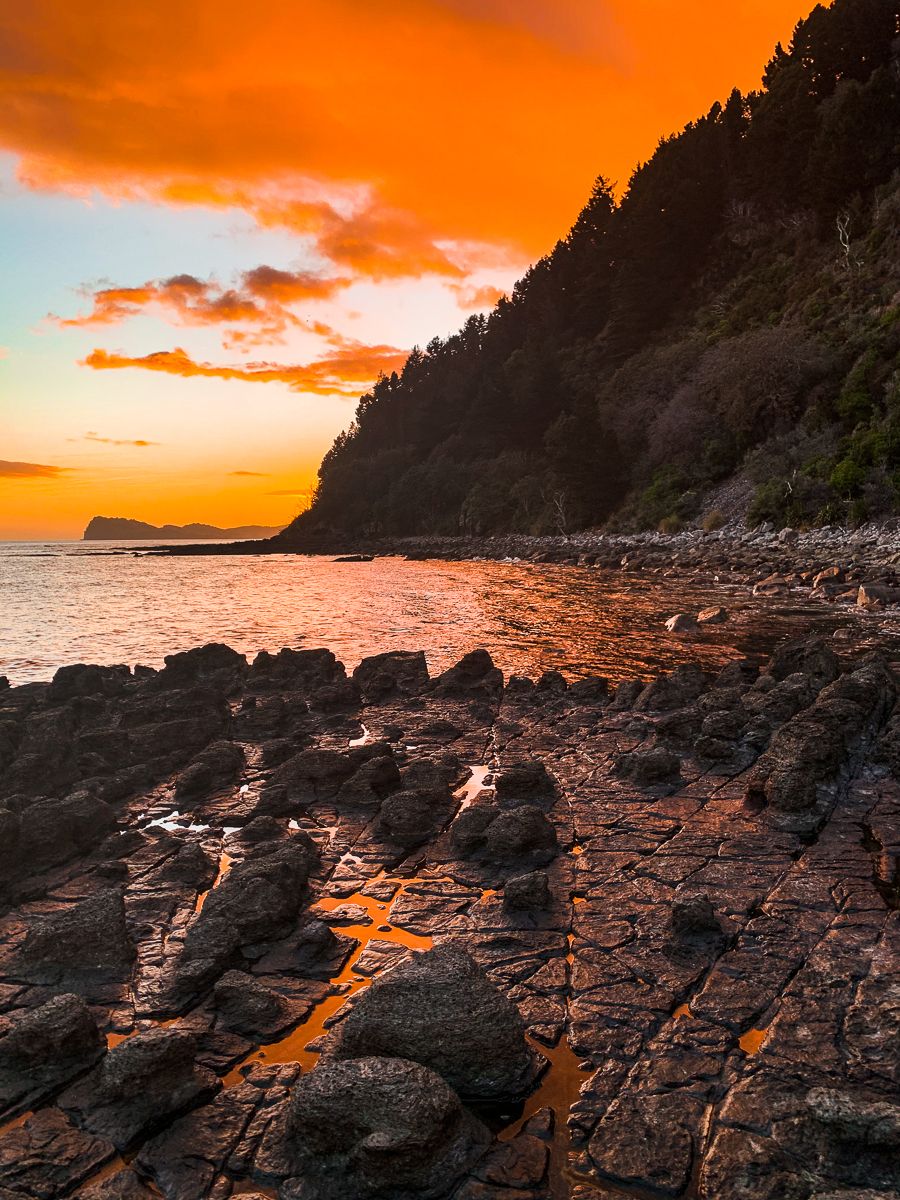
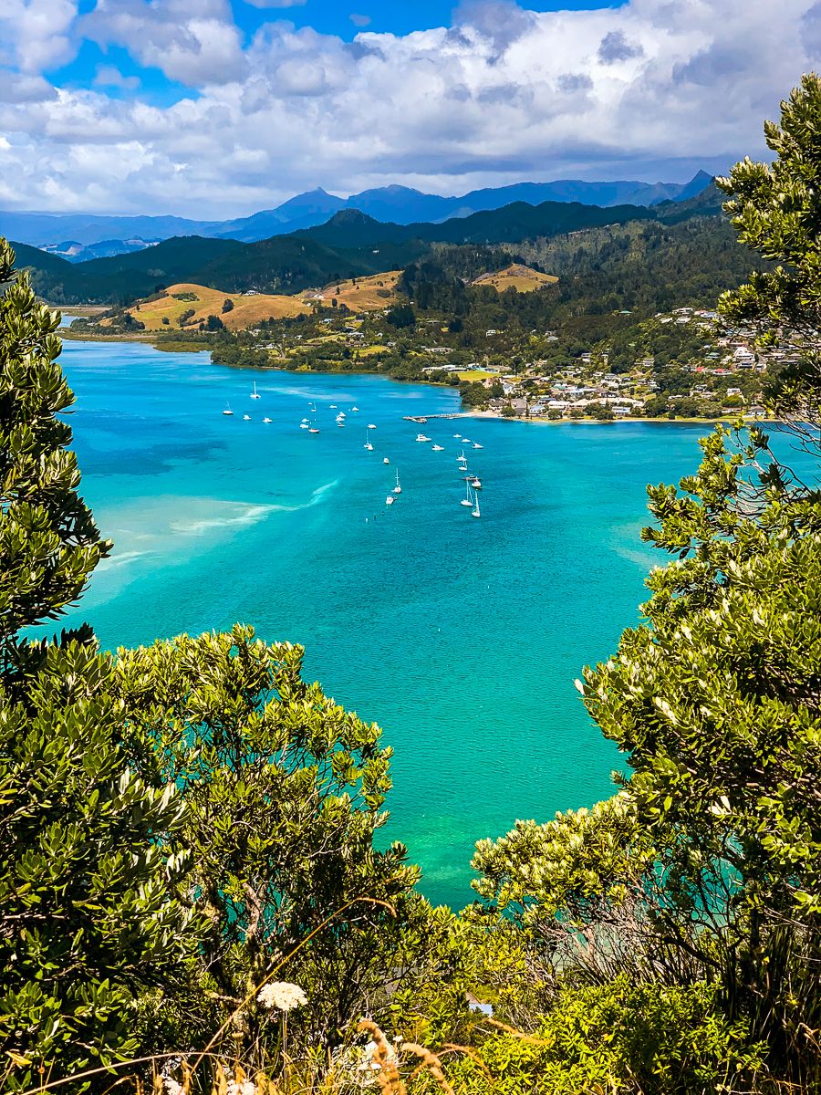
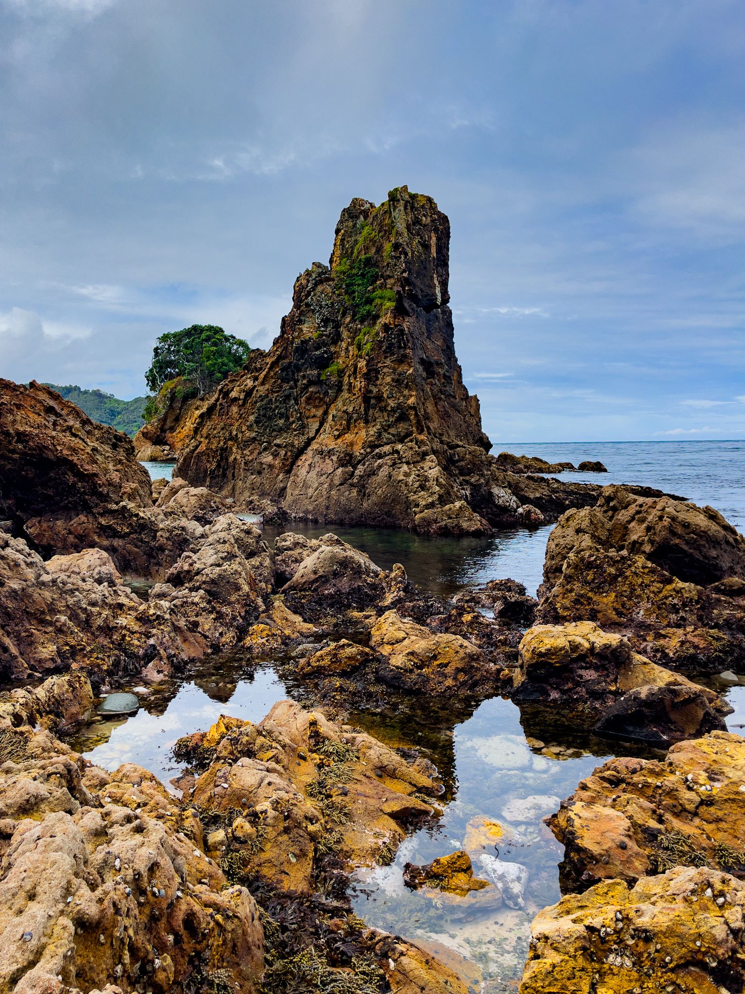
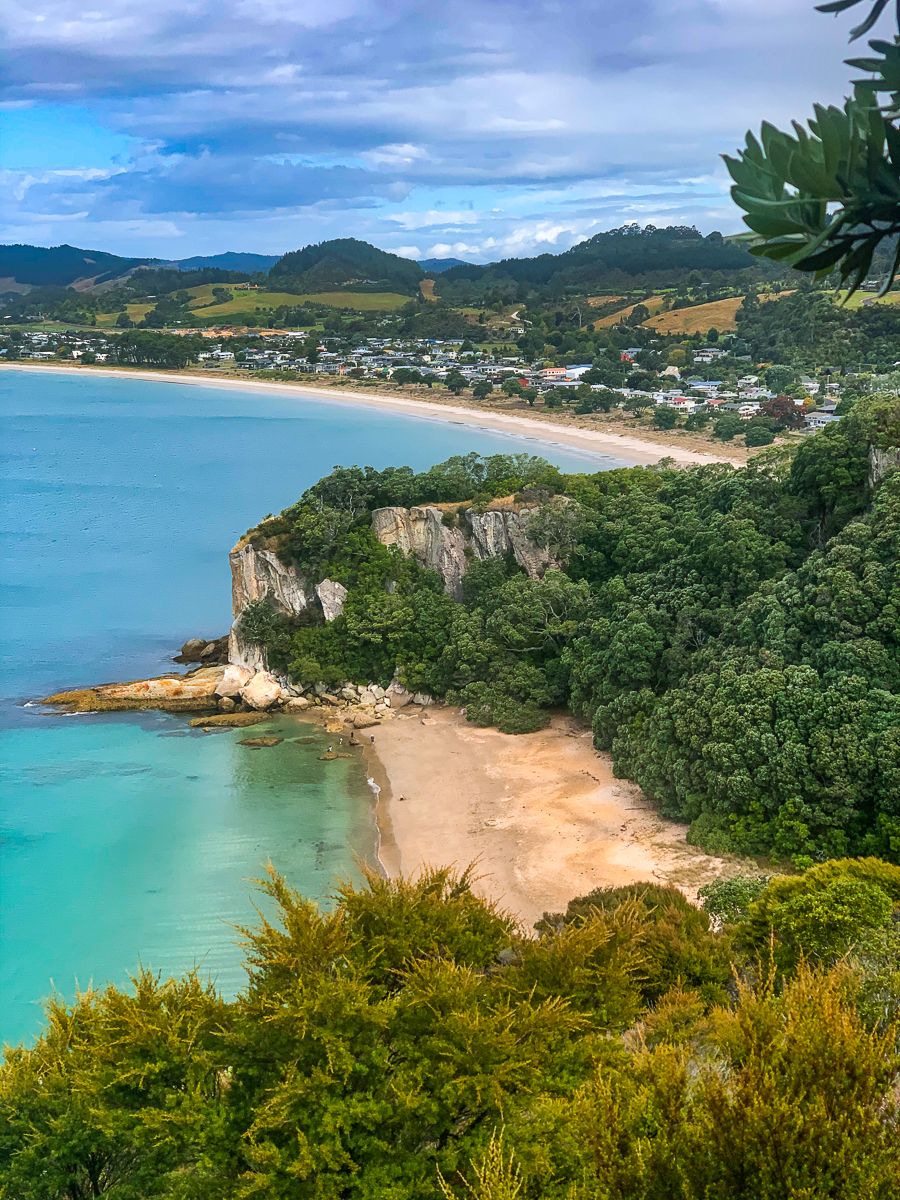
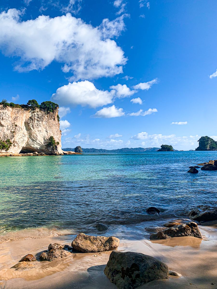
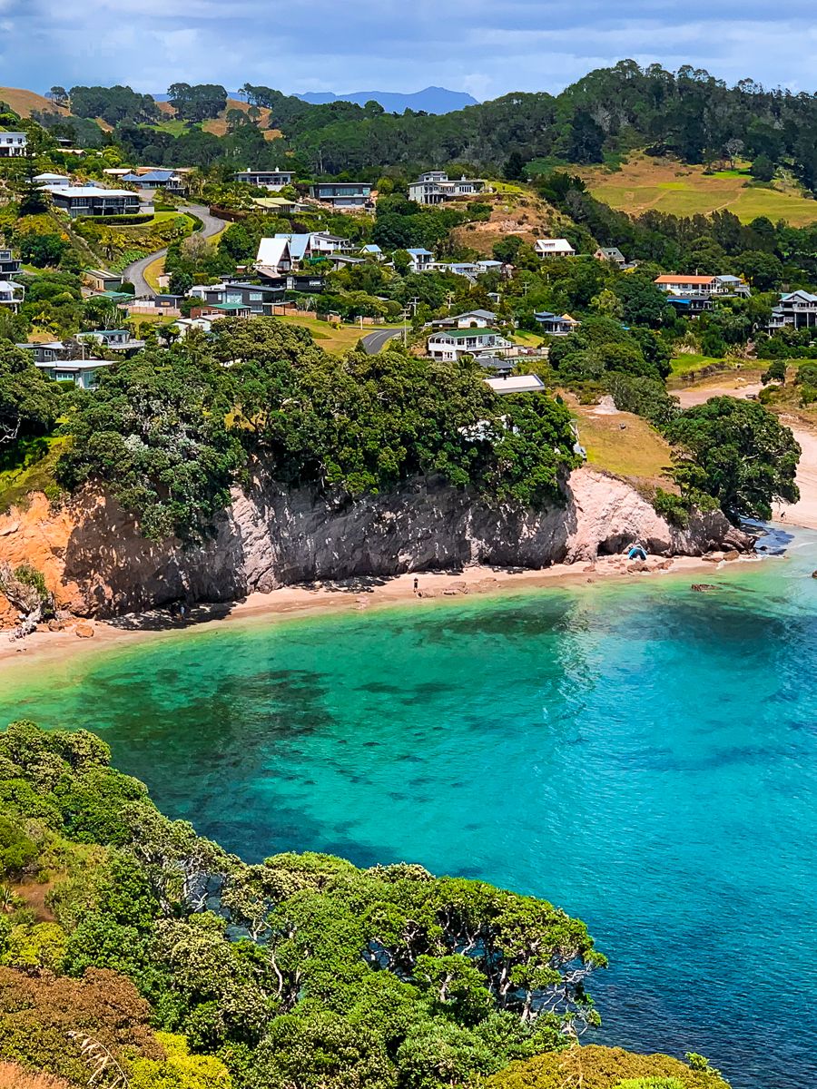
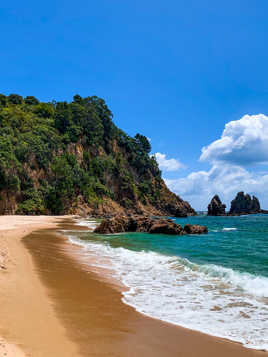
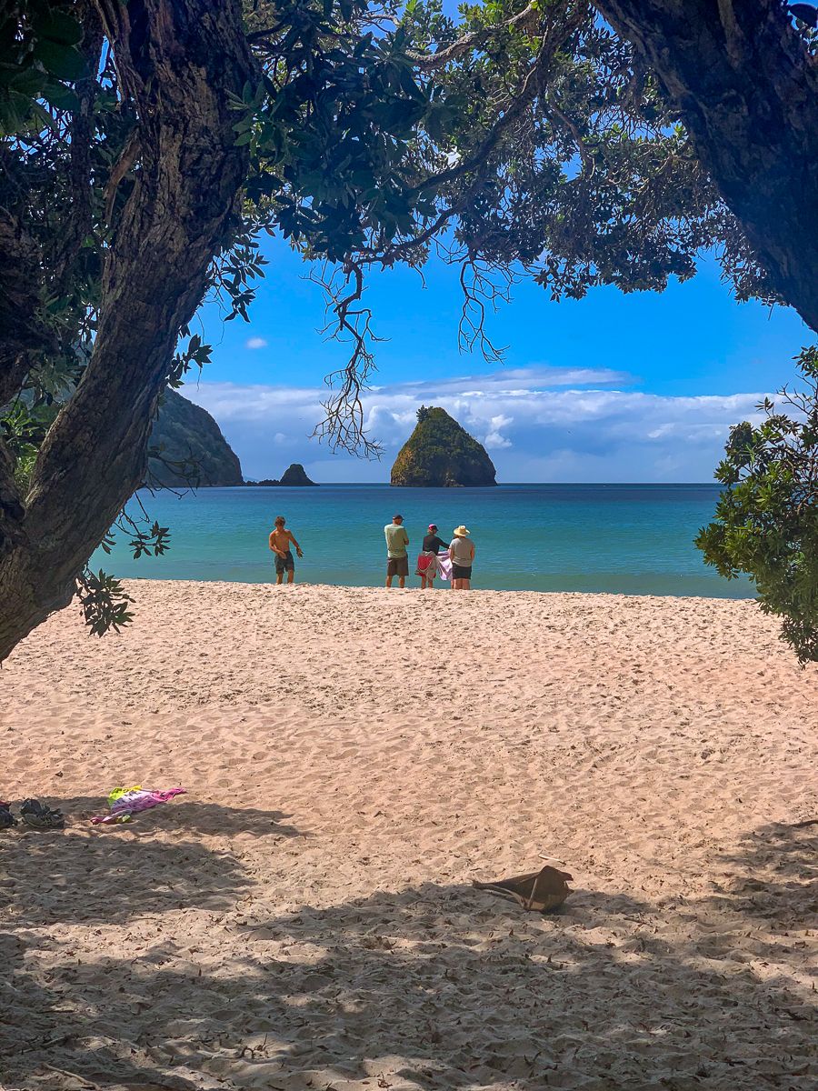
Today, the Coromandel Peninsula is a top destination in Aotearoa for visitors. The eastern Pacific Ocean coast boasts numerous white to golden sand surf beaches, along with sheltered harbours at Tairua, Mercury Bay / Whitianga, and Whangapoua. The Firth of Thames on the west offers sheltered beaches ideal for swimming, boating, and fishing.
Between these coasts lies Coromandel Forest Park, with its rugged hills and valleys providing ample hiking and camping opportunities. Many trails follow historic mining and kauri logging routes, such as those at Broken Hills near Hikuai and the Kauaeranga Valley near Thames. The park also features several DOC campsites and access to the renowned Pinnacles Track and Hut.
Coastal Towns and Scenic Routes
Most residents live in coastal towns, connected by the scenic State Highway 25. This highway begins at Waihi, near Waihi Beach, and travels up the east side of the peninsula through Whangamata, Hikuai, Tairua, and Whitianga, before crossing to the west coast between Whangapoua Harbour and Coromandel Town.
It then heads south, often hugging the coast, to Thames. At Kopu, it links with State Highway 2 towards Auckland and State Highway 26, which continues south to Paeroa and west to Hamilton. Three cross-peninsula routes include the scenic State Highway 25A from Kopu over a 424-metre pass in the Coromandel Range, and two rough gravel roads: Tapu Coroglen Road and The 309 Road, which provide access to the rugged interior.
Exploring Further North
Beyond State Highway 25, a mostly gravel road along the west coast reaches Port Jackson, Cape Colville, and Fletcher Bay at the peninsula's tip. On the east side, you can drive to the Stony Bay campsite and then hike or bike the Coromandel Walkway to Fletcher Bay.
Charming East and West Coast Towns
Numerous medium to small towns on the east coast are located at beautiful beaches, connected to State Highway 25 by short roads. These include Waihi Beach, Whiritoa, Onemana, Opoutere, Pauanui, Hot Water Beach, Hahei, Cooks Beach, Kūaotunu, Opito, Matarangi, and Whangapoua.
The main towns on the west coast are the historic mining towns of Thames, the largest and most accessible town on the Coromandel, and Coromandel Town, located two-thirds up the coast. East coast towns are particularly seasonal due to the prevalence of holiday homes. In recent years, dolphins, southern right whales, Bryde's, and humpback whales have been spotted along the east coasts as their populations recover.
Short Walks and Natural Wonders
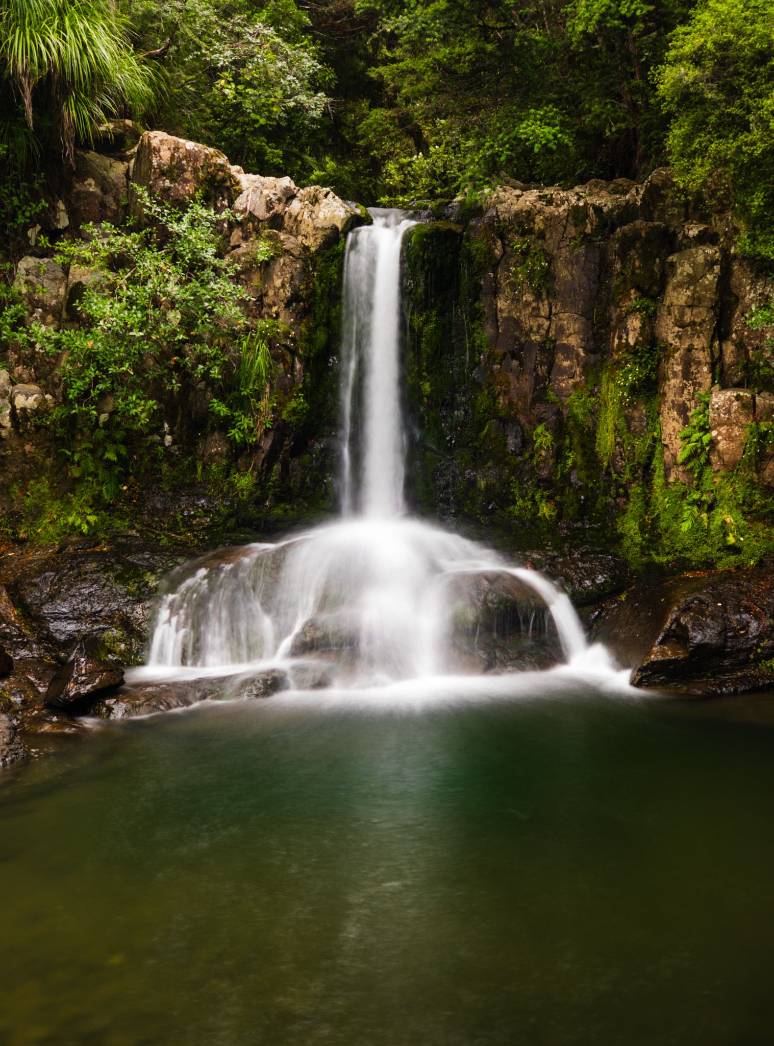
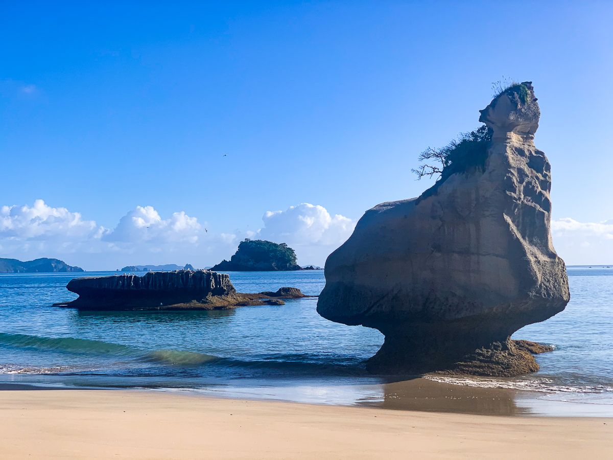
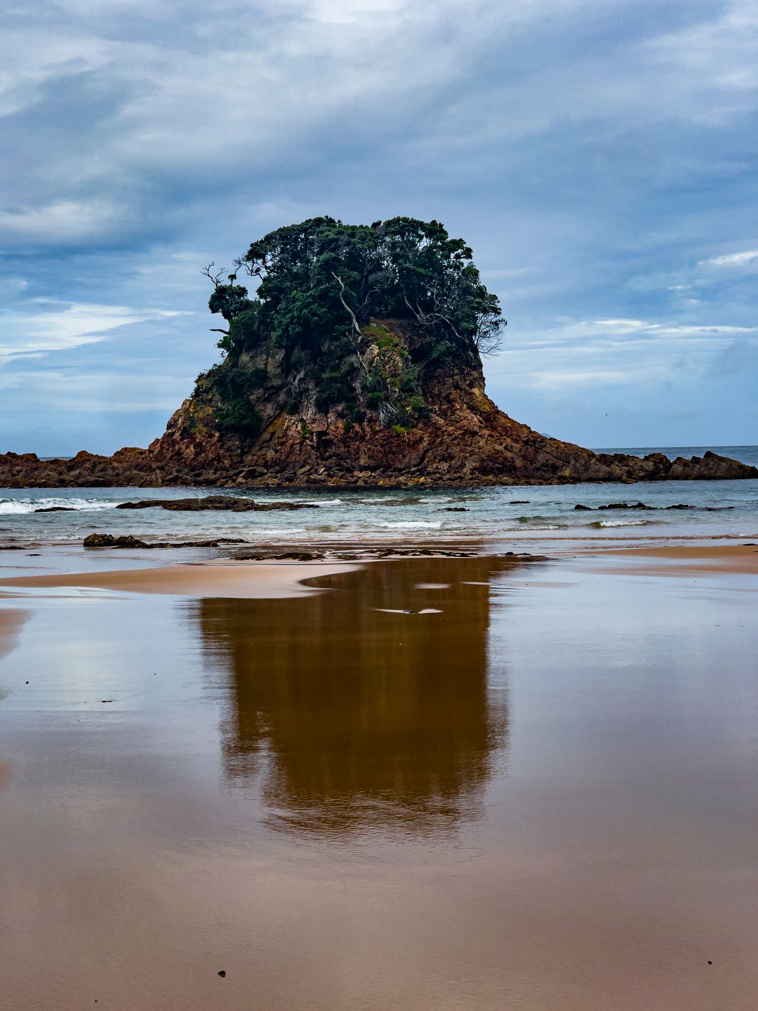
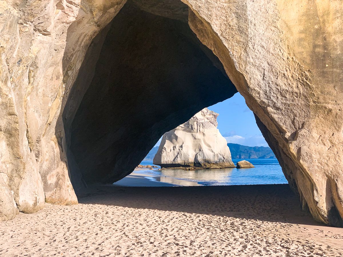
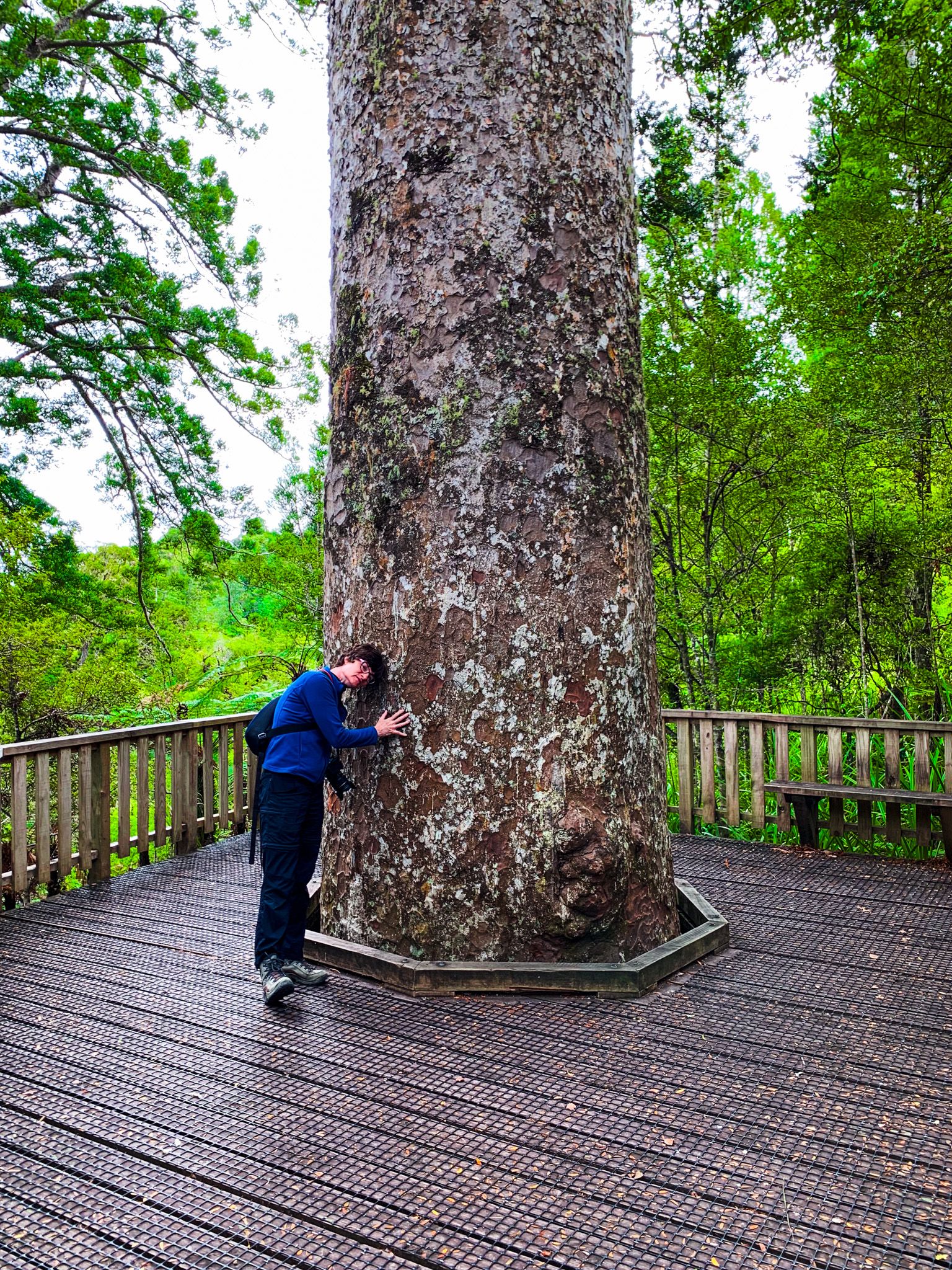
The Coromandel Peninsula offers numerous fabulous short walks. These include Orokawa and Homunga north of Waihi Beach, Mount Pauanui near Pauanui, Sailors Grave and Paku near Tairua, Cathedral Cove and Hereheretaura Point near Hahei, Shakespeare Cliff and Lonely Bay near Cooks Beach, and New Chums Walkway to New Chums Beach near Whangapoua. From The 309 Road, you can visit Waiau Falls and the nearby Waiau Kauri Walk, which leads to a grove of ancient kauri trees.
How to Get There
To reach the Coromandel Peninsula, you can drive from Auckland via State Highway 2, connecting to State Highway 25 at Kopu. This scenic route takes you through the peninsula's picturesque landscapes and coastal towns. Alternatively, you can access the area from Hamilton via State Highway 26. The peninsula's network of roads, including State Highway 25 and its cross-peninsula connections, makes it accessible for exploring its diverse attractions and natural beauty.