Rangitoto: Auckland's Youngest Volcano
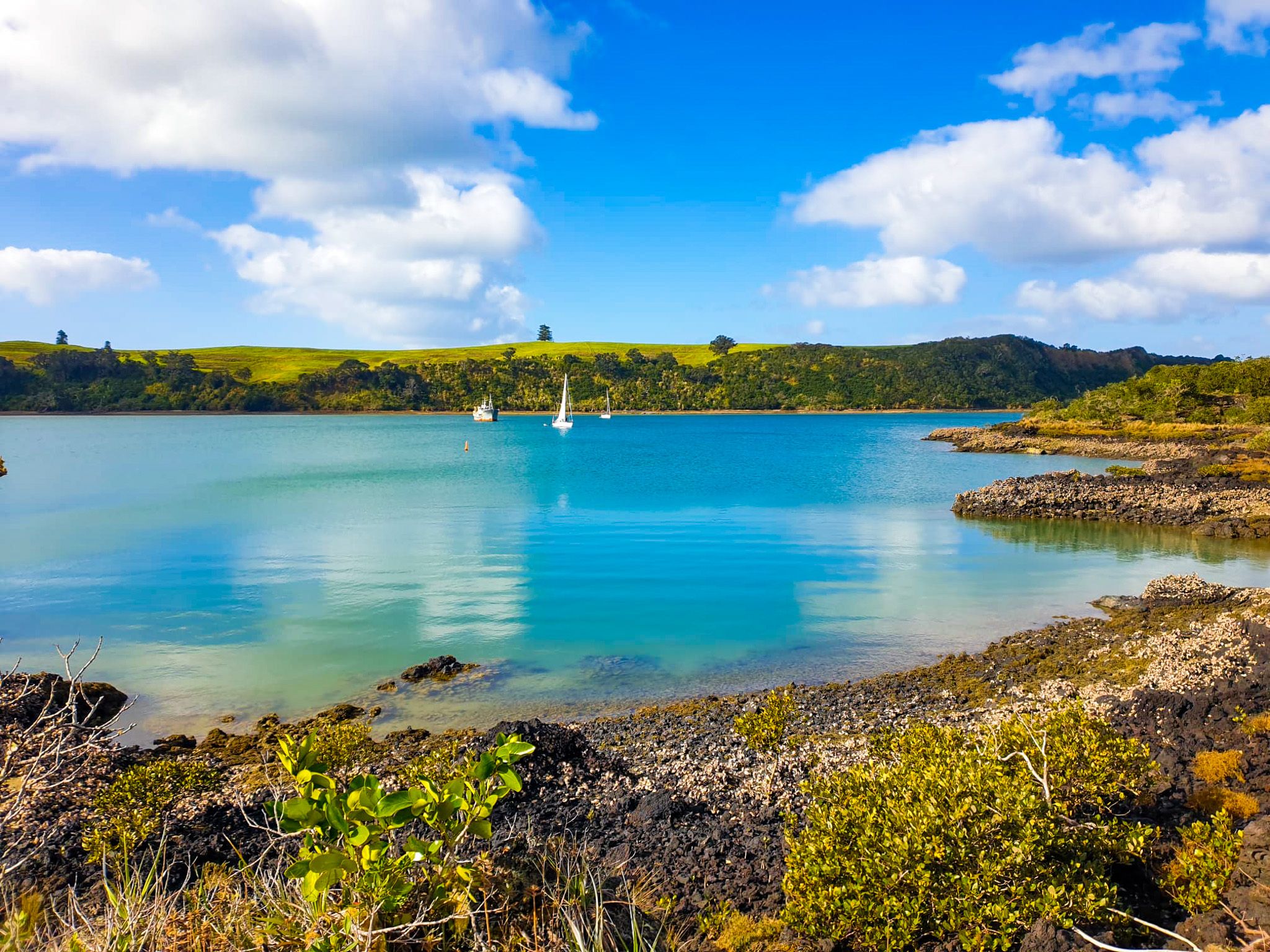
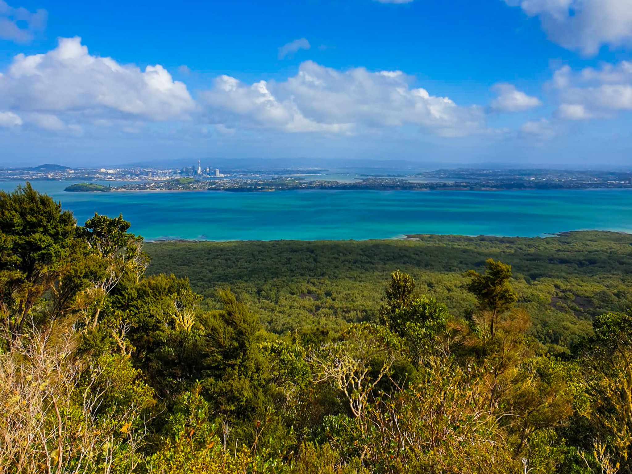
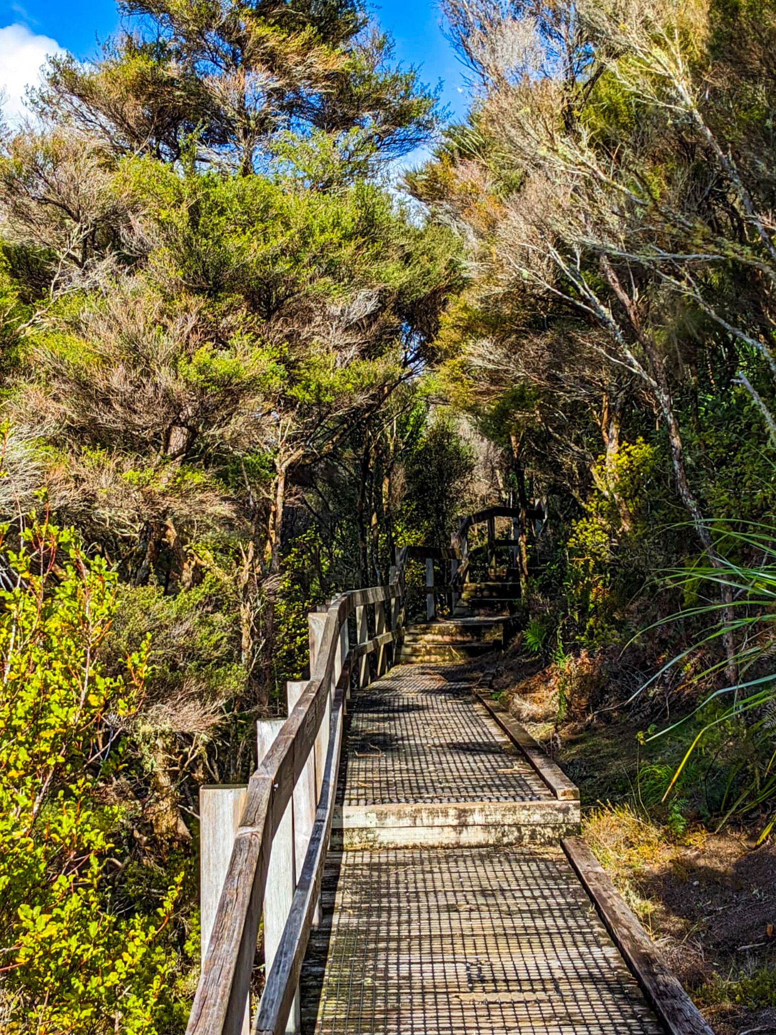
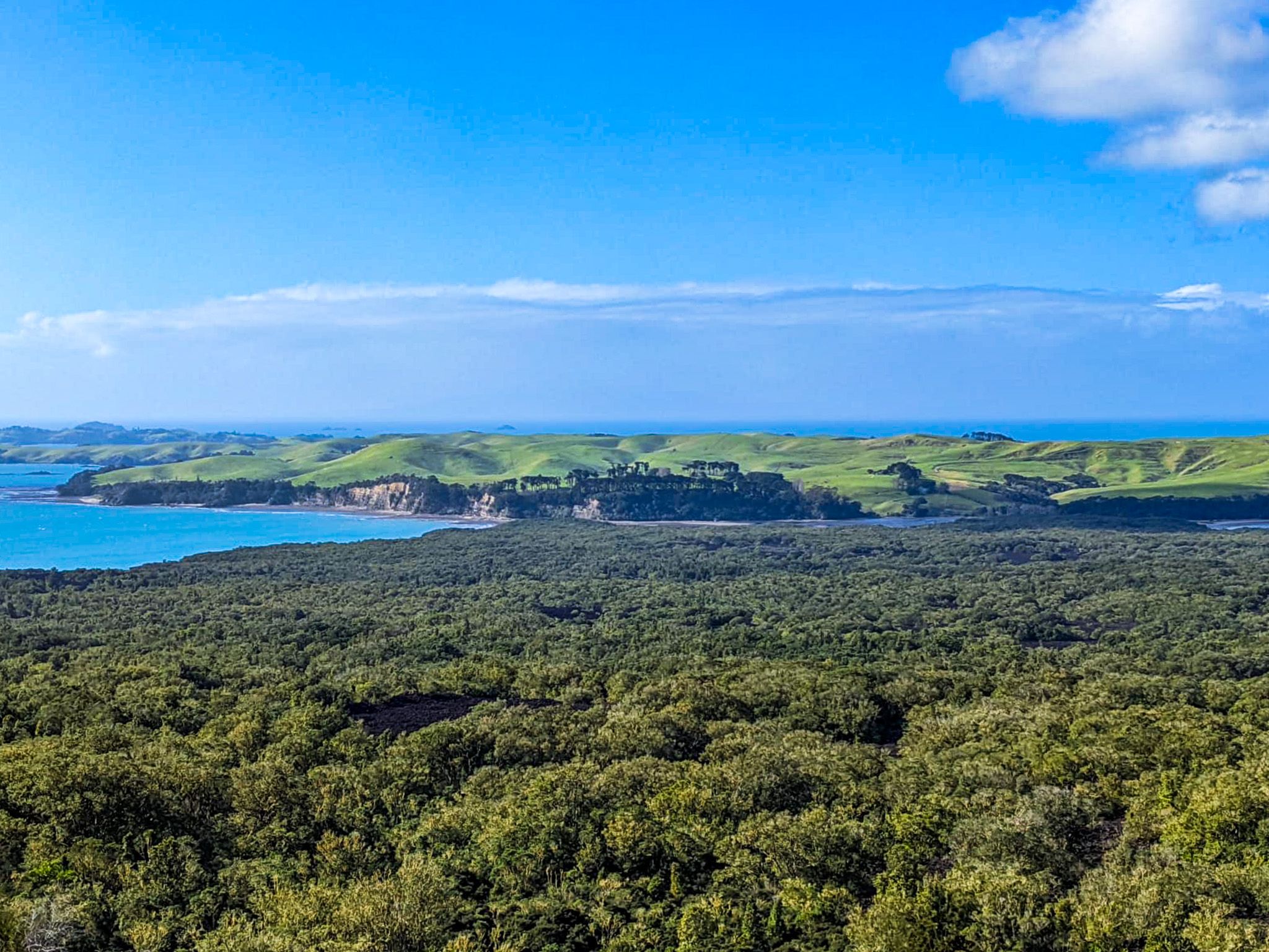
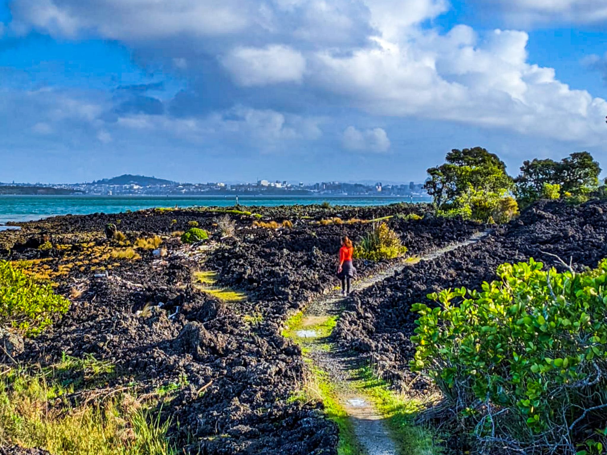
Rangitoto Island, located in the Hauraki Gulf of Auckland, is the youngest volcano in the region and offers a unique landscape for exploration. A visit to Rangitoto Island is a rewarding half-day to full-day trip, with regular ferries departing from Downtown Auckland and taking about 25 minutes each way. The island is renowned for its striking basalt lava fields and the largest pōhutukawa forest in New Zealand. A hike to the summit, which takes approximately an hour, provides stunning 360-degree views.
Island Activities and Features
Visitors to Rangitoto can also enjoy walking around much of the island, including a trek across a man-made causeway to neighbouring Motutapu Island. Motutapu offers swimmable beaches and a campsite. Both islands are park reserves and have been mammal pest-free since 2011, ensuring a pristine natural environment. It's important to note that there are no shops on the islands, so visitors should come prepared.
Geological and Cultural Significance
Rangitoto is the largest and youngest of the 50 volcanoes in the Auckland volcanic field. The island erupted between 1450 and 1500, covering 2,311 hectares in ash. Its name, "Rangitoto," means "Bloody Sky," derived from "Ngā Rangi-i-totongia-a Kapua," referring to Tama-te-Kapua, the captain of the Arawa waka, who was wounded on the island during a battle with the Tainui iwi.
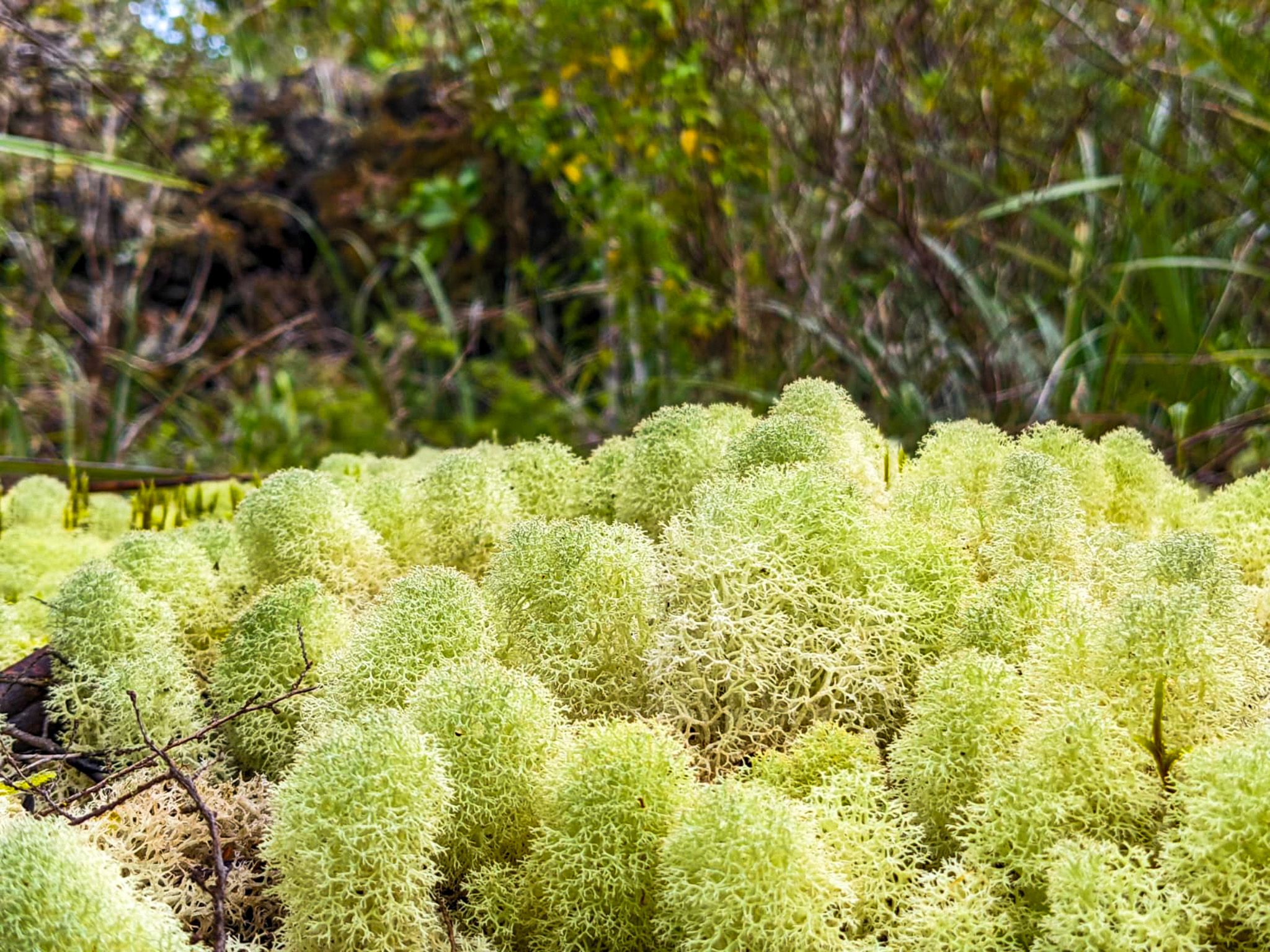
Flora and Fauna
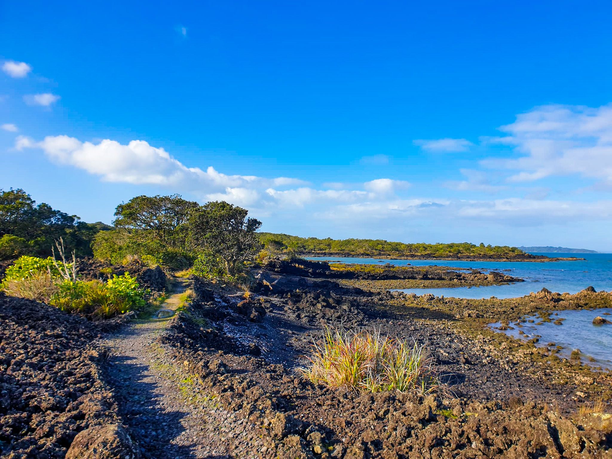
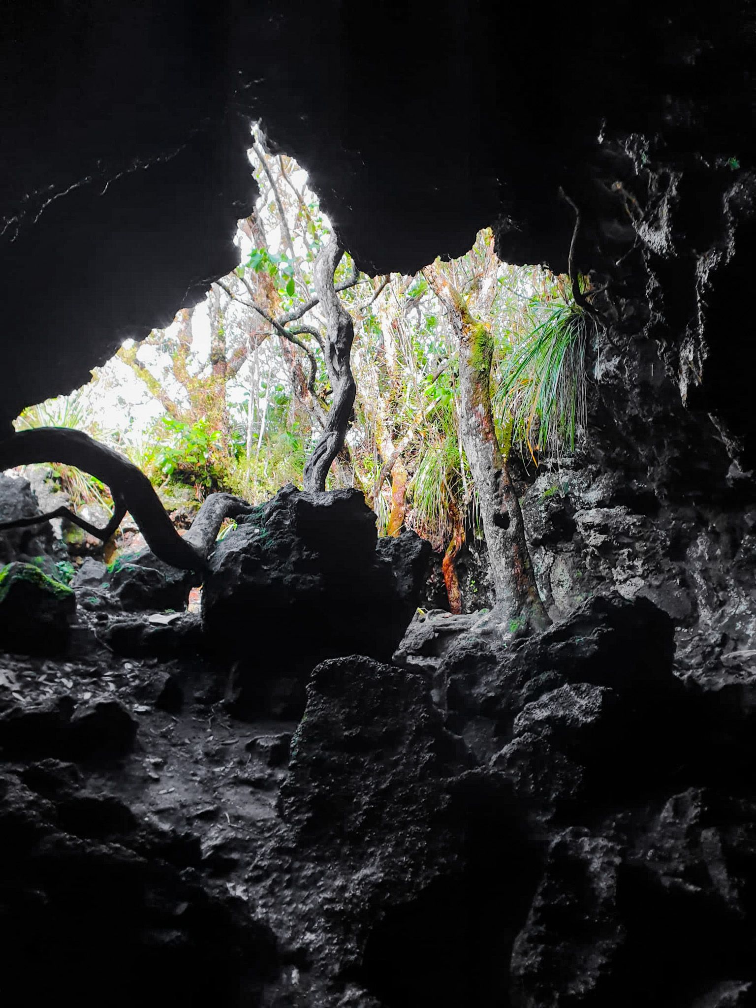
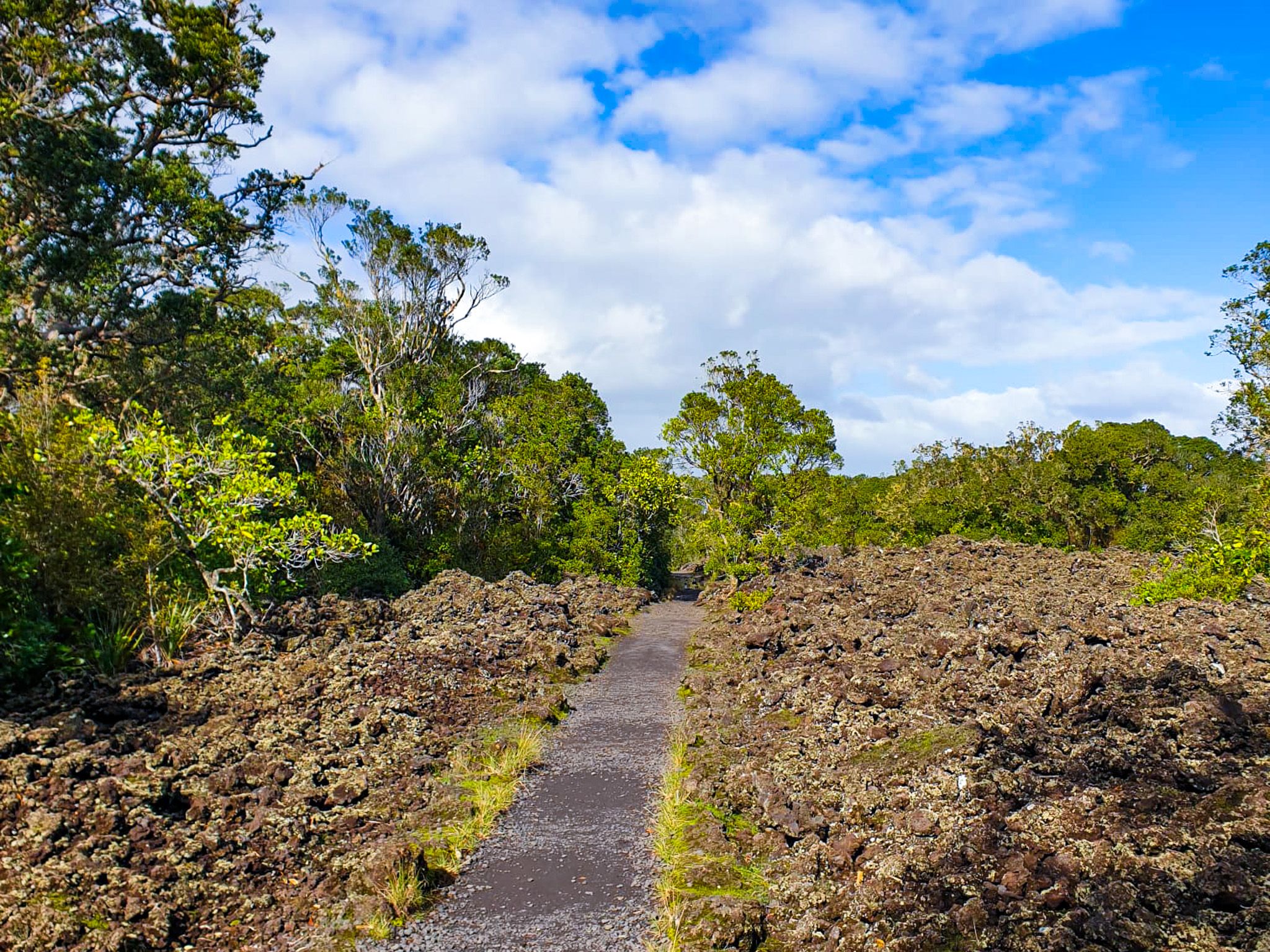
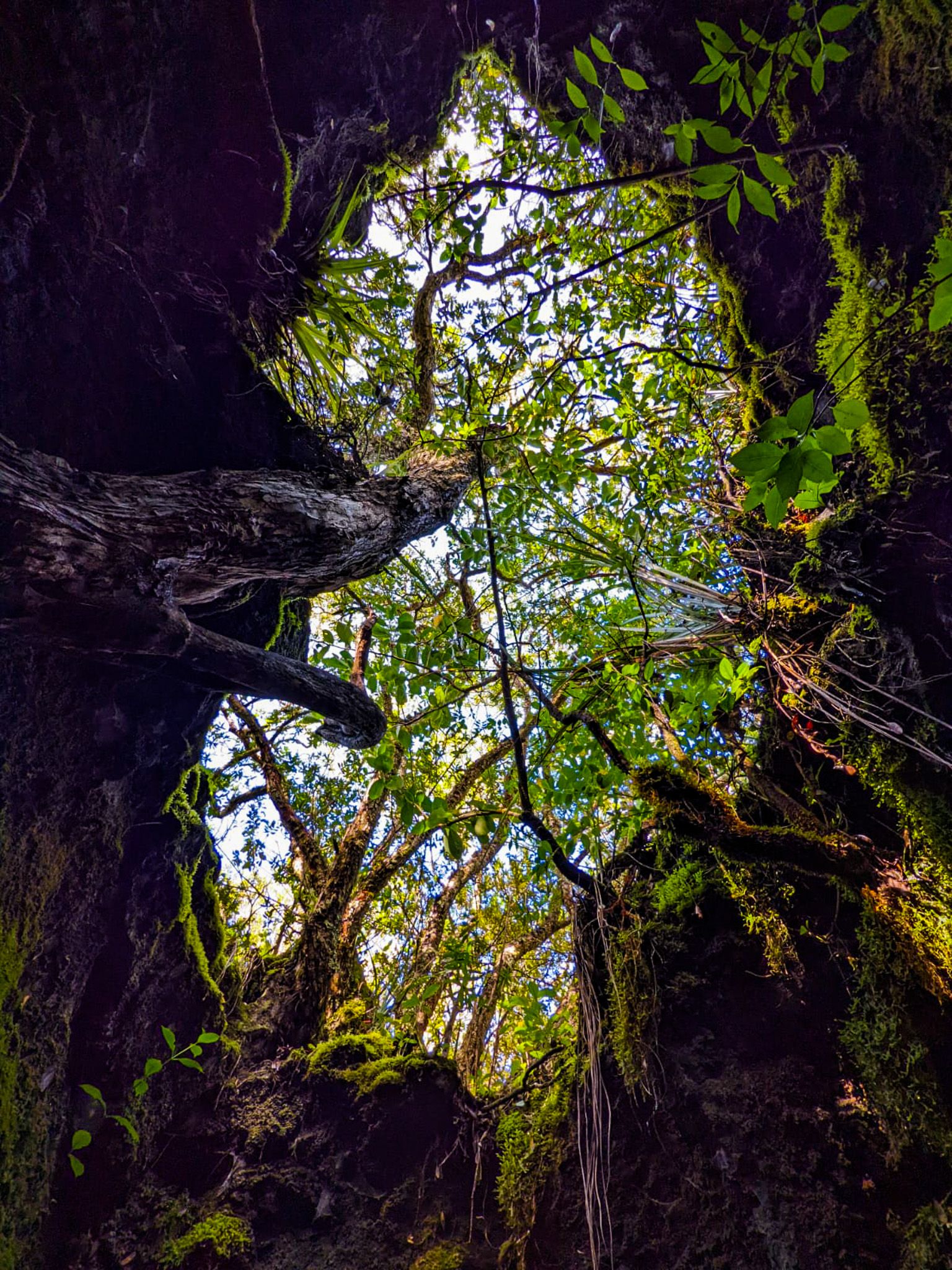
The island's black basalt lava fields and pōhutukawa forest are notable features. Other significant trees include the northern rātā. Due to the island's young geological age, the stages of natural vegetation growth are visible. Initially, plants like pōhutukawa establish themselves in crevices, with soil forming over time through windblown matter and plant decay. Although the forest is still young, it is now diversifying as the habitat evolves.
Historical Insights
Rangitoto has been publicly owned since 1854 and was once a source of rock for Auckland's construction. It became a reserve in 1890 and a popular destination for daytrippers. From 1925 to 1936, prison labourers constructed roads and a track to the summit from Islington Bay. During World War II, military installations were built to support Auckland's harbour defences, including the fortress at Stony Batter on Waiheke Island. The summit still houses an old observation post from this era.
Historical Oddities
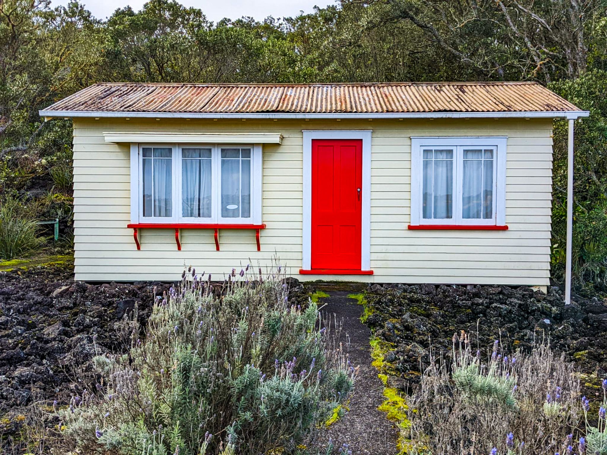
Rangitoto is home to several historical curiosities. Islington Bay was once called Drunks Bay, used to sober up sailors before they left the Gulf. Boulder Bay served as a wrecking ground for unwanted ships, with remains visible at low tide. In the 1920s and 1930s, around 140 baches (small holiday homes) were built; construction was halted in 1937, and many have been removed. Some baches remain, with a few preserved to showcase the island's past community. Three are available as visitor rentals.
Getting to Rangitoto Island
To reach Rangitoto Island, catch a ferry from Downtown Auckland, which takes about 25 minutes each way. Once on the island, the walk to the summit takes approximately an hour. Be sure to bring supplies and water, as there are no shops on the island.