
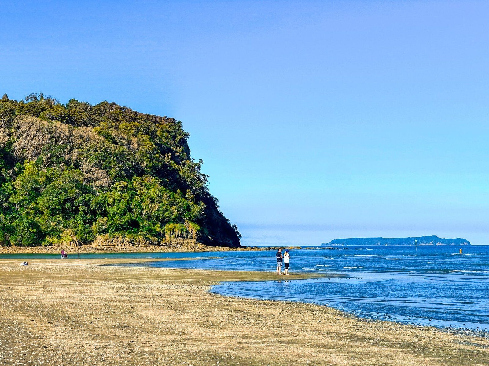
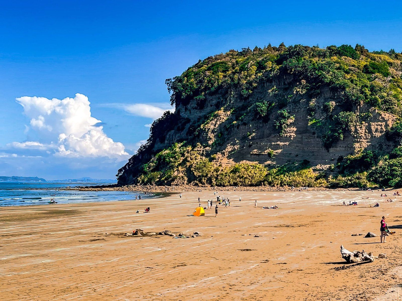
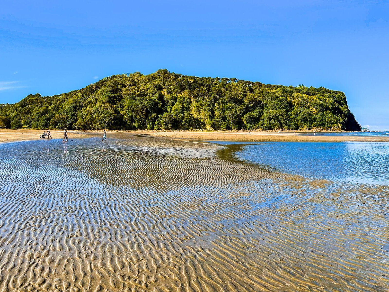
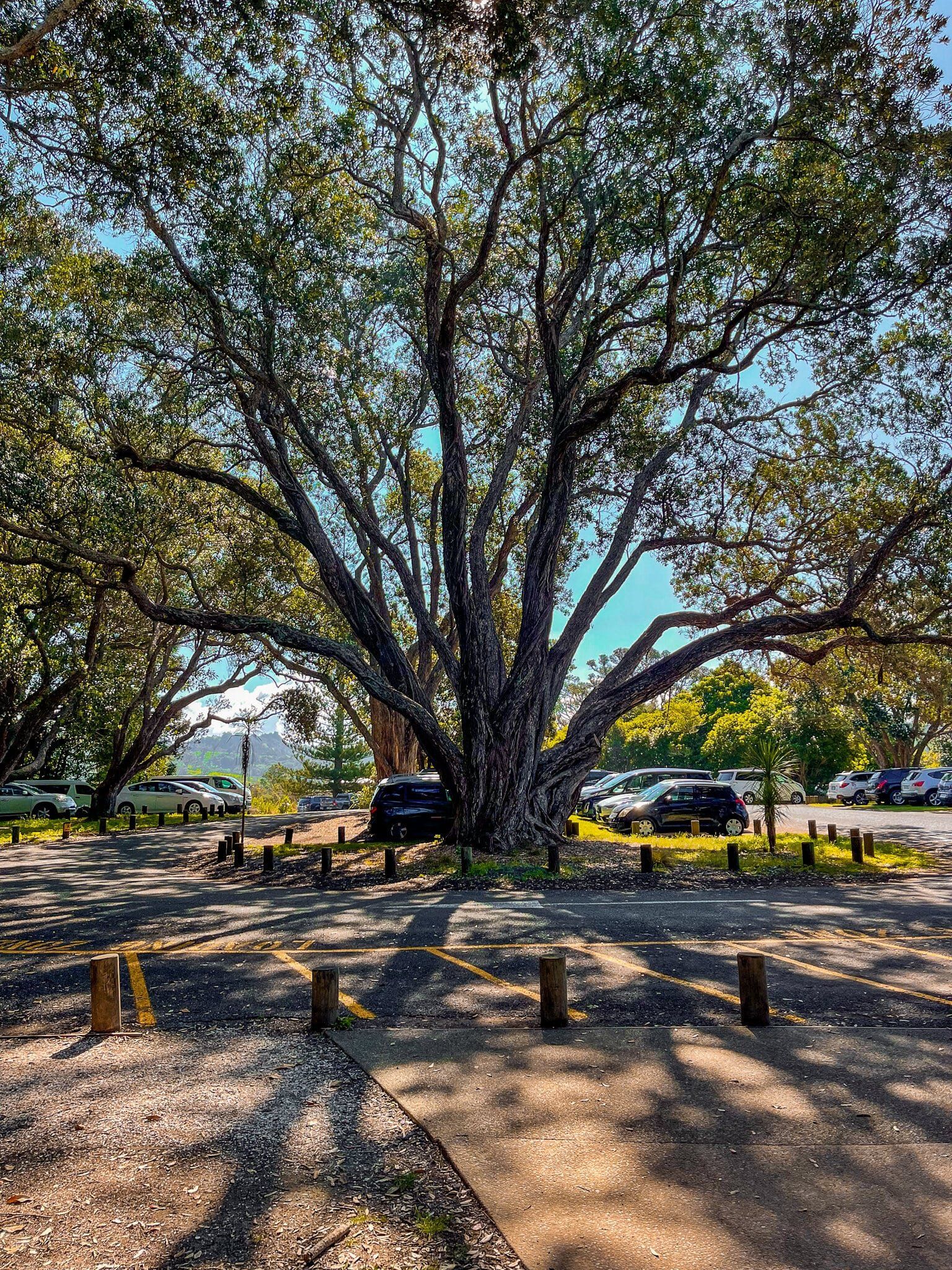
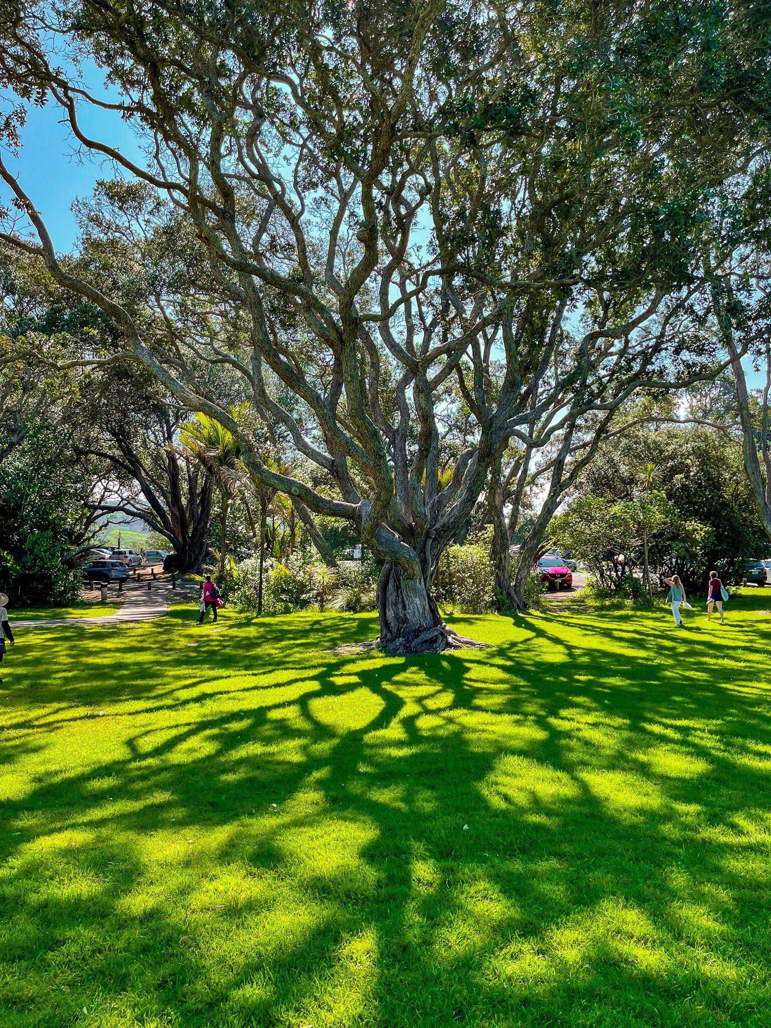
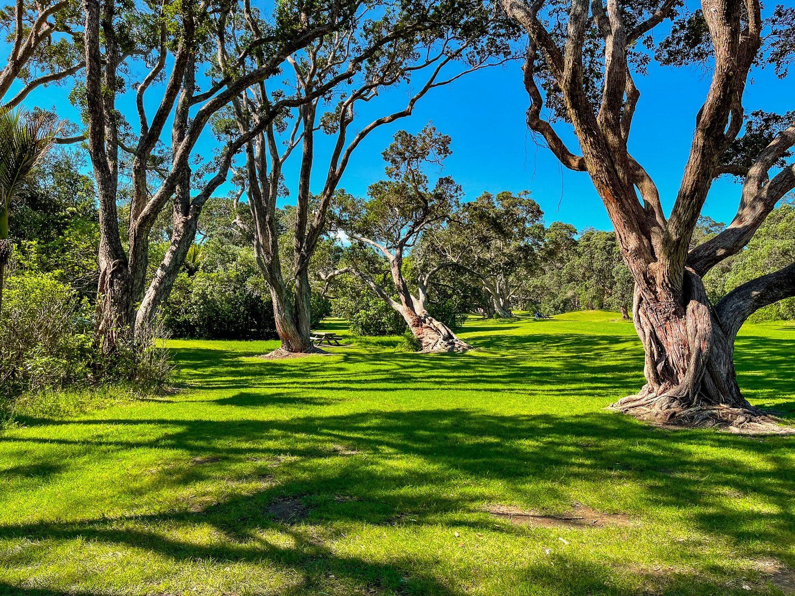
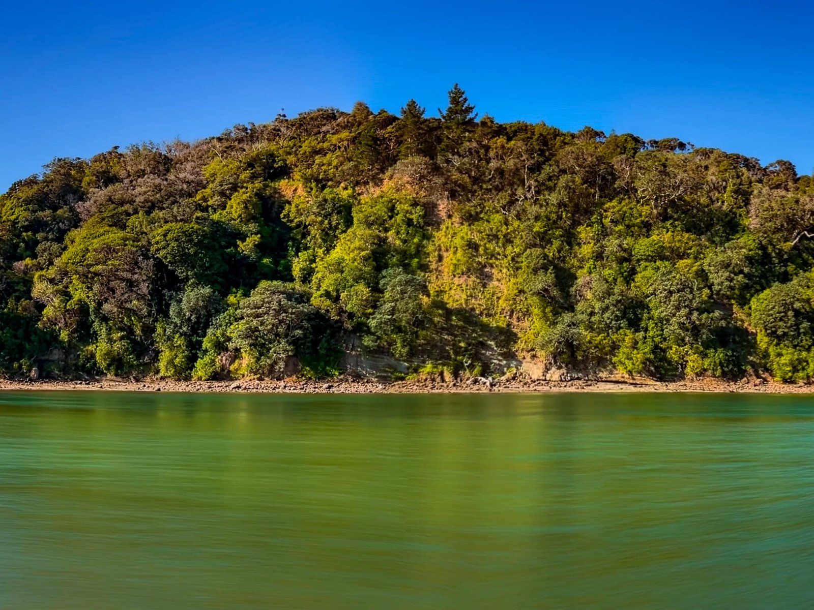
Wenderholm Regional Park was the first of the 28 Auckland City regional parks. It sits between two rivers – Puhoi River on the north side and Waiwera River on the south side. The park is mainly made up of a high hill, Maungatauhoro, with a prominent sea-facing cliff and mostly covered in established native forest, and the Te Akeake spit. The spit is mainly covered in grass with a beach to the east on the Hauraki Gulf. In addition there is an historic house at the south end of the spit, surrounded by lovely native forest and gardens. You will notice a number of well-established exotic trees, alongside the native forest and pohutukawa.
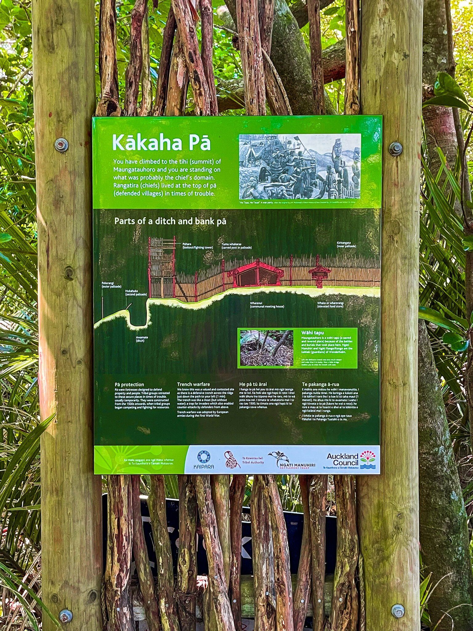
The area was occupied by Māori from around the 1300s and there was a defensive pā on the top of Maungatauhoro. In the 1840s, the Māori owners sold the land to Robert Graham, a prominent early Auckland settler and businessman. He named the area Wenderholm (‘winter home’ in Swedish). The original house was modified and expanded by subsequent owners, including the Couldrey family who were the final private owners before selling the property to Auckland City in 1965.
There are several walking options at Wenderholm. Tracks run over and around Maungatauhoro, with fabulous views to the north, and the Te Akeake Walk goes along the spit beside the Puhoi River to the river mouth, then loop back via the beach. The longer track over Maungatauhoro is a section of Te Araroa as well.
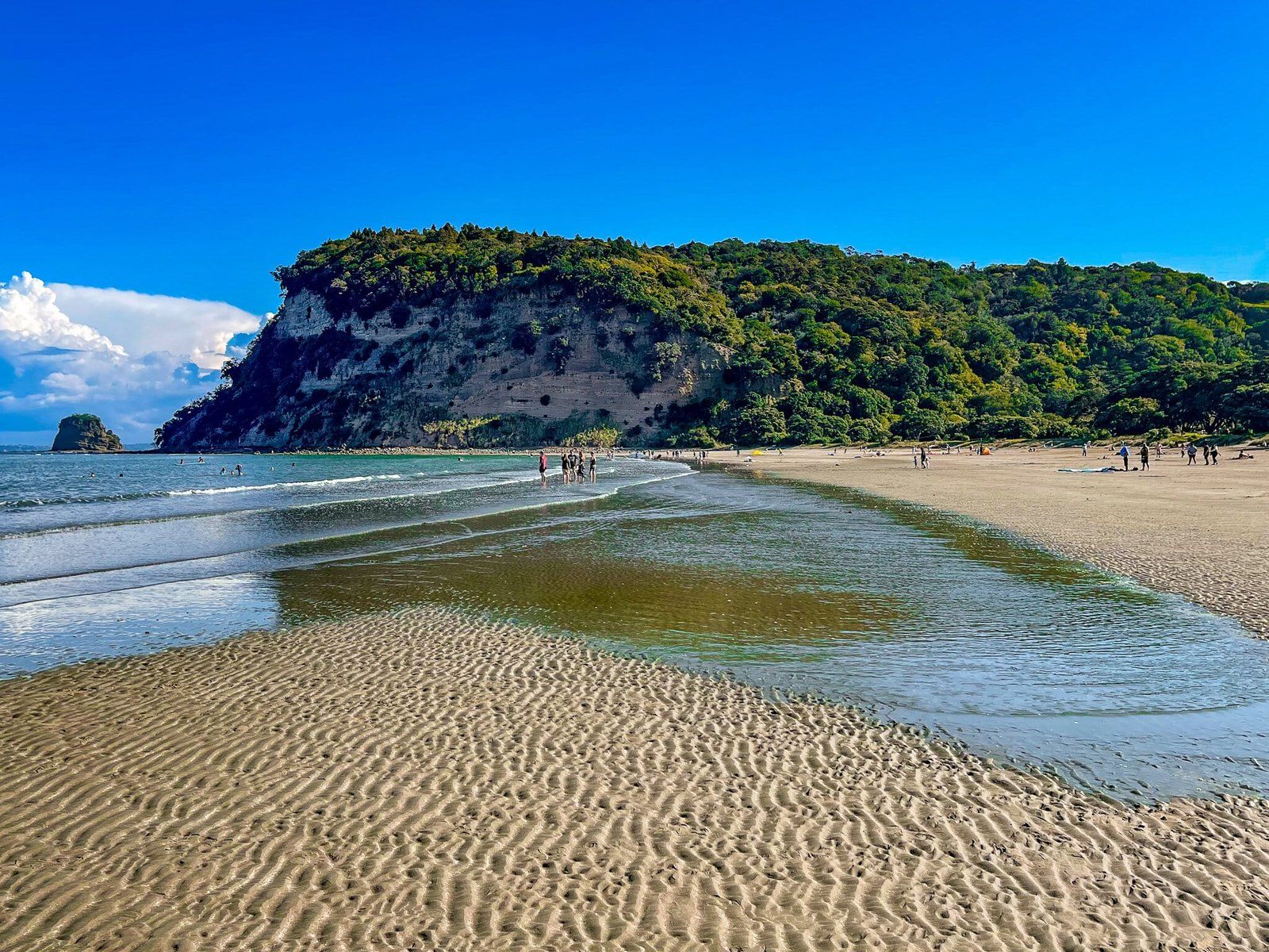
Wenderholm Beach
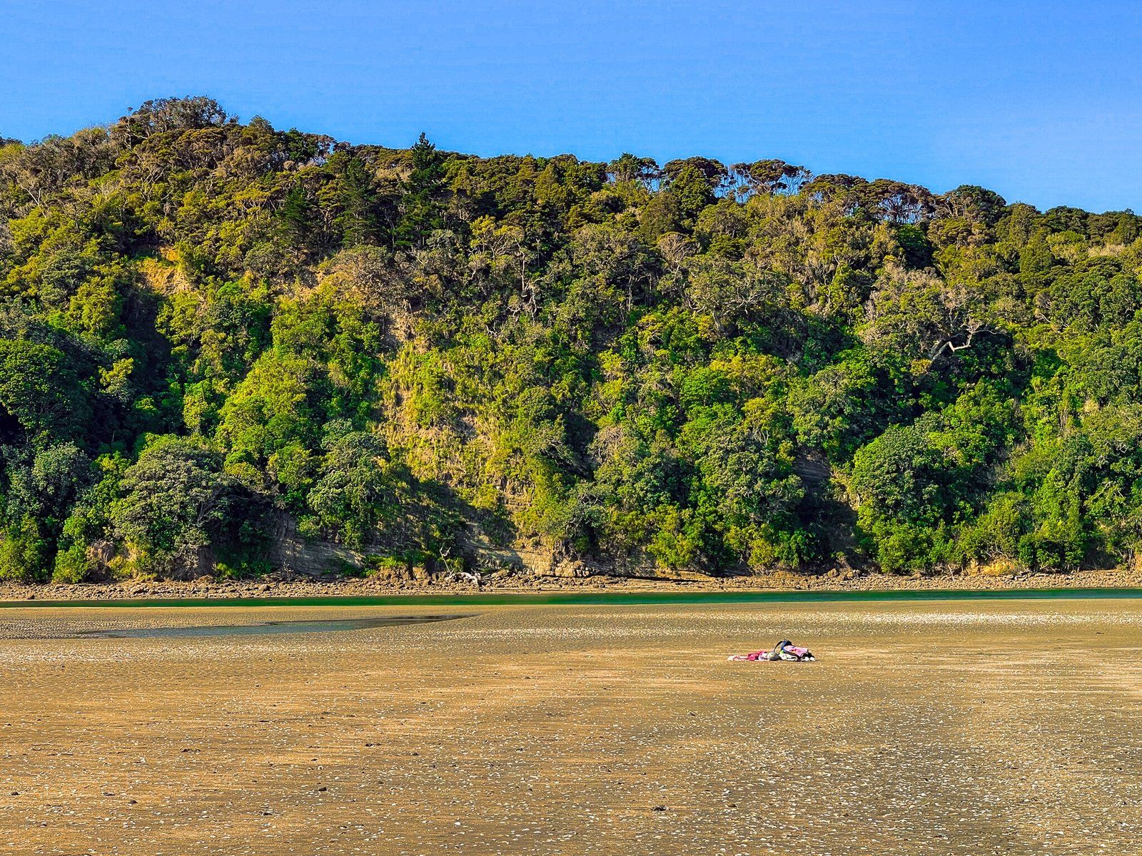
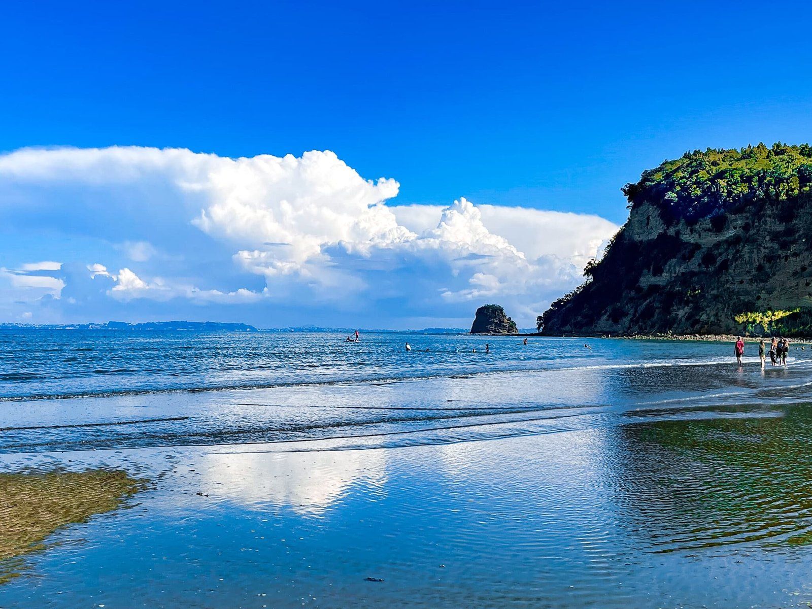
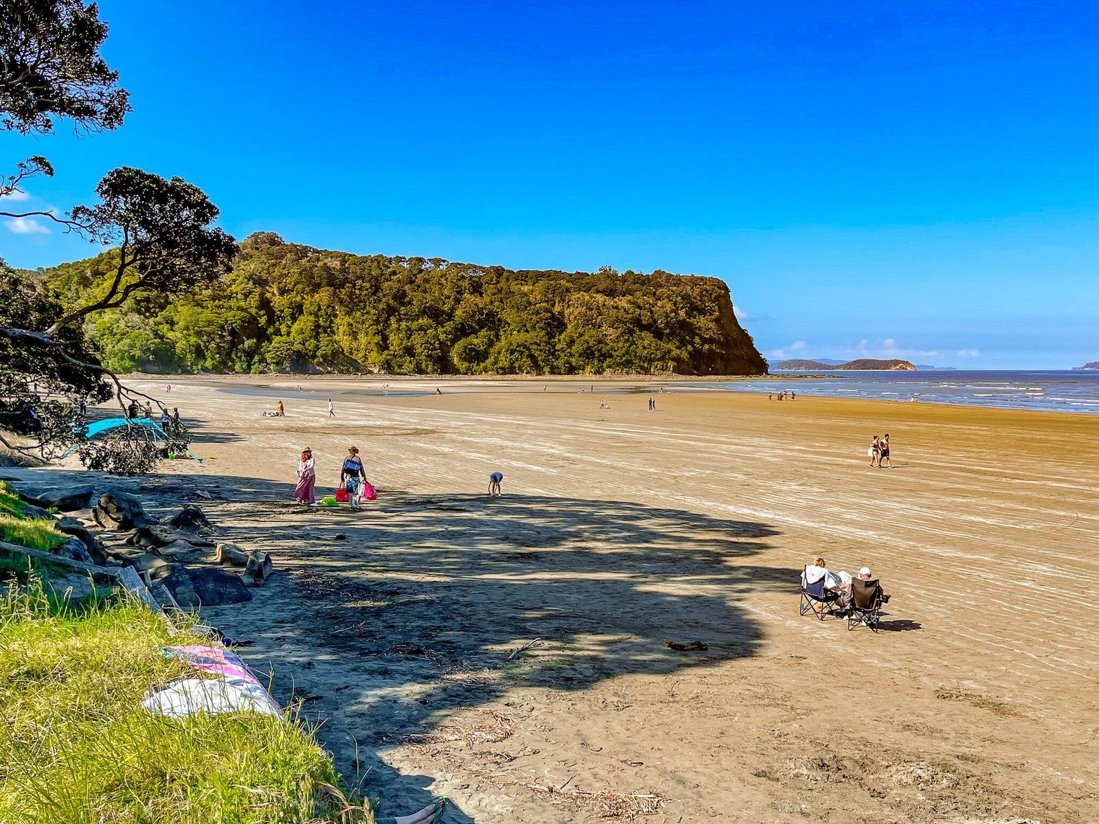
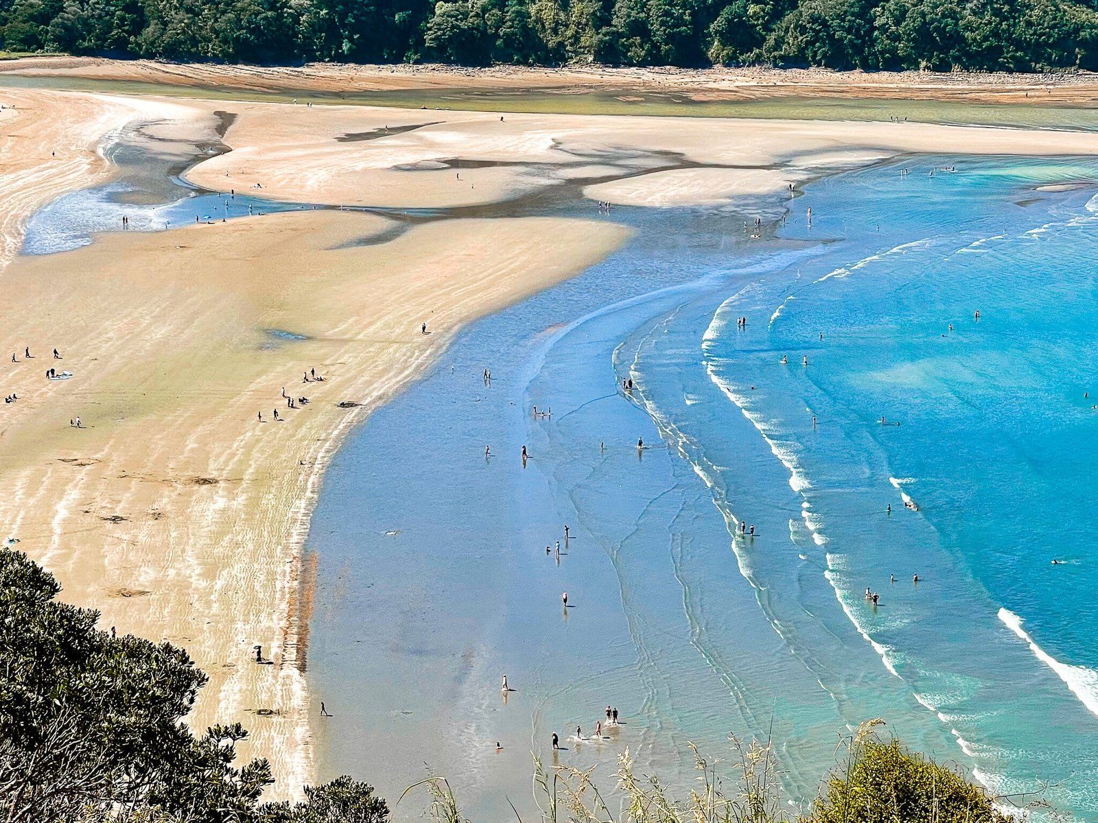
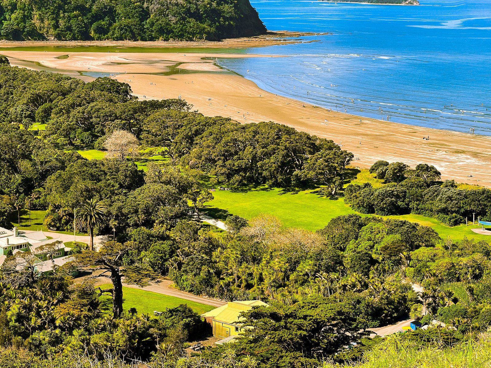
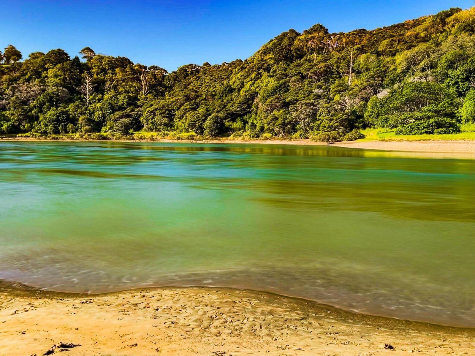
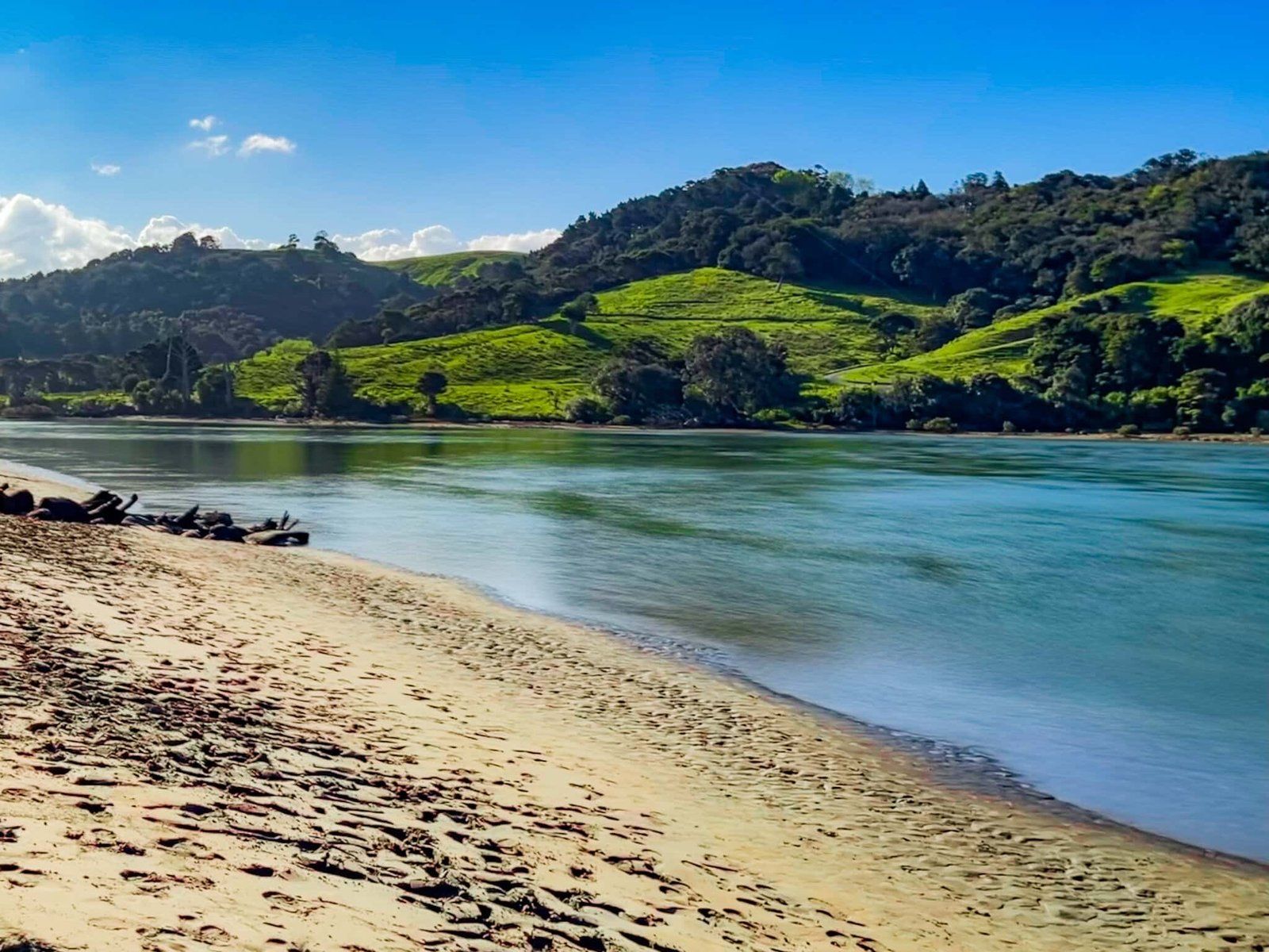
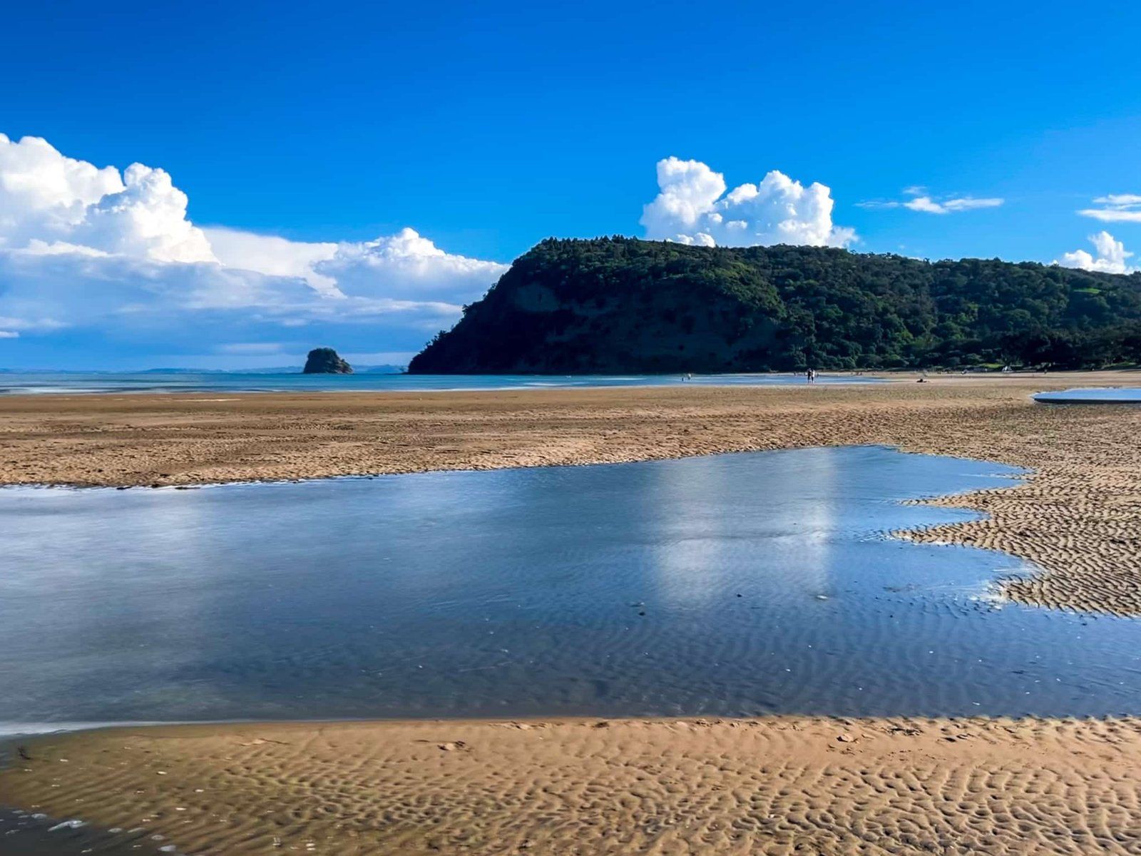
Wenderholm Beach runs the full length of Te Akeake spit, from the cliffs below Maungatauhoro to the Puhoi River mouth. For most visitors, it is probably the main reason to visit, particularly for families on holiday and fine weekends.
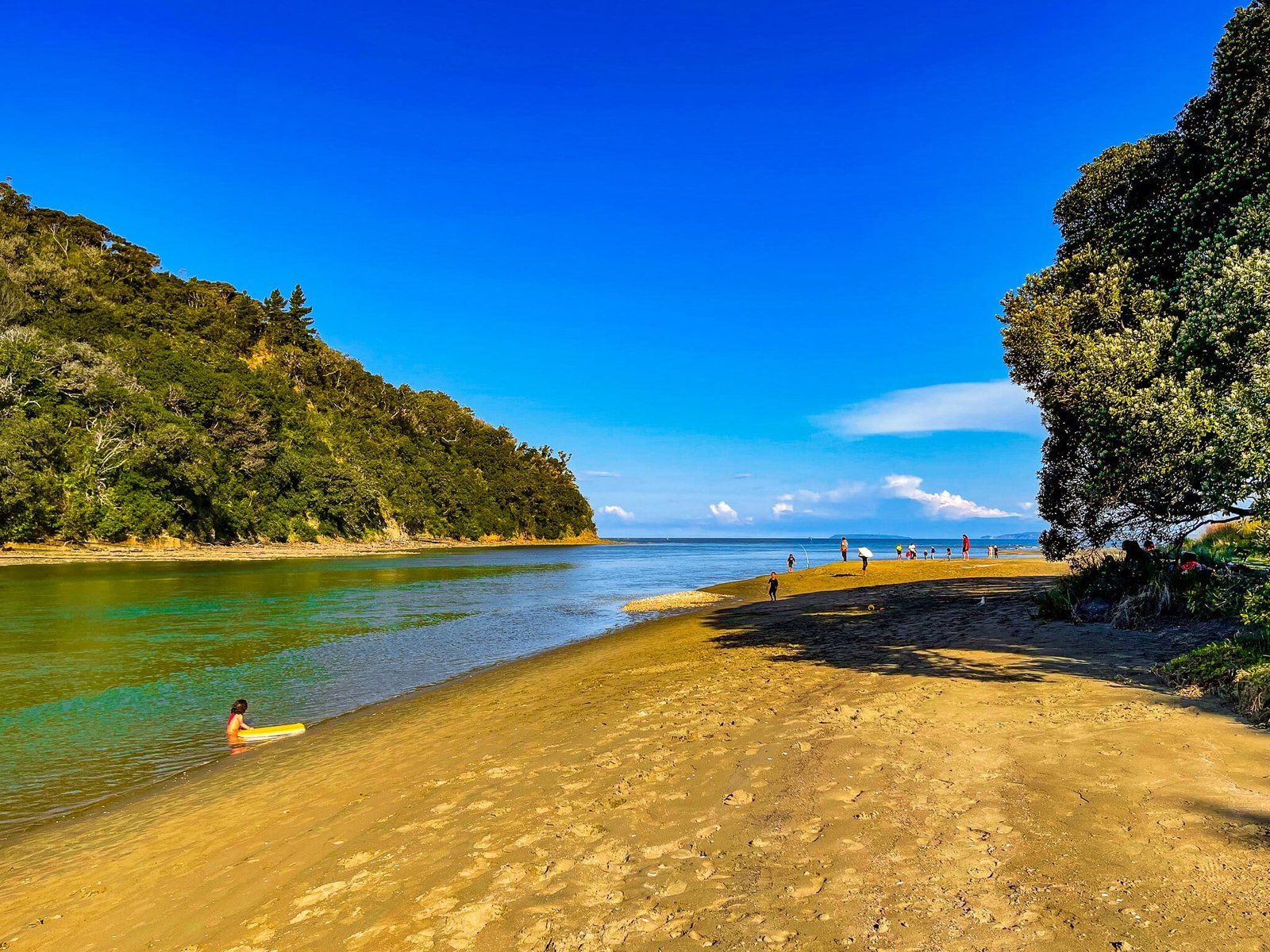
The beach has a very shallow slope, so the tide goes out quite a long way. There is generally no surf to speak of and it’s safe for swimming, although you have to go out a fair distance to get in over your knees at low tide. The exception is around the river mouth which is deeper and has strong tidal currents.
The beach fringe is also somewhat sheltered with established pohutukawa trees, if you prefer to get out of the sun.
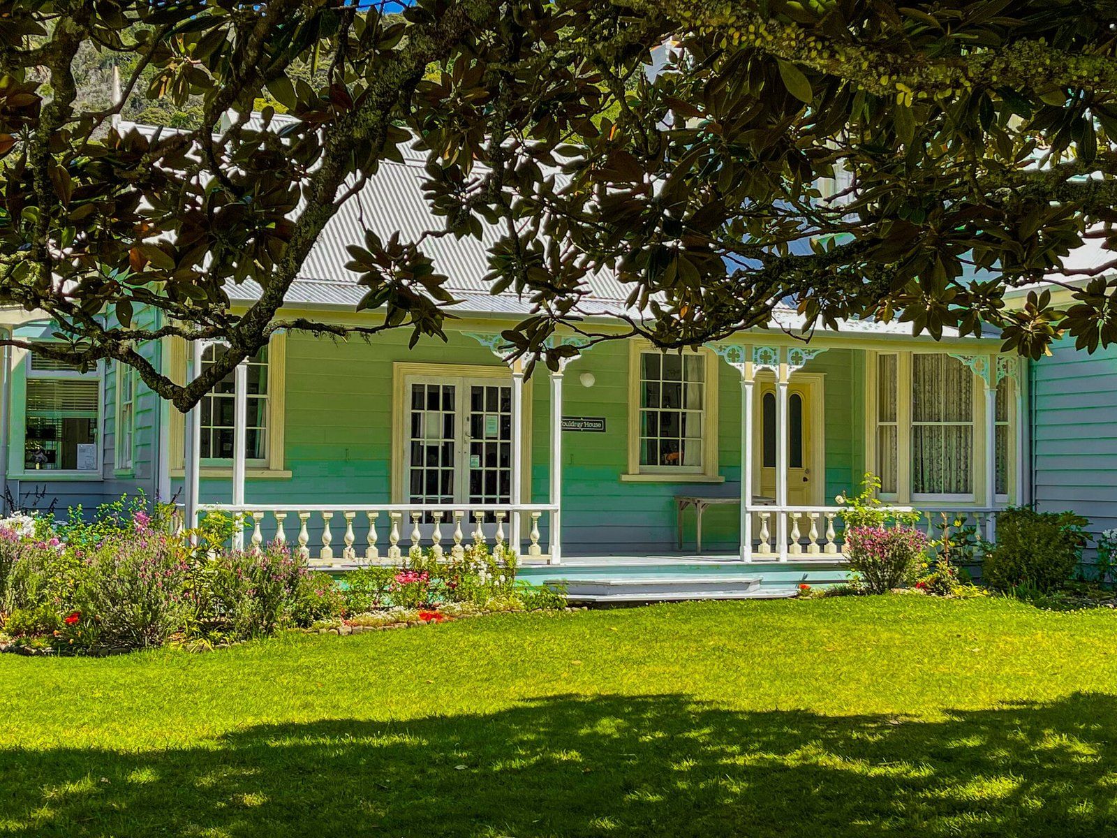
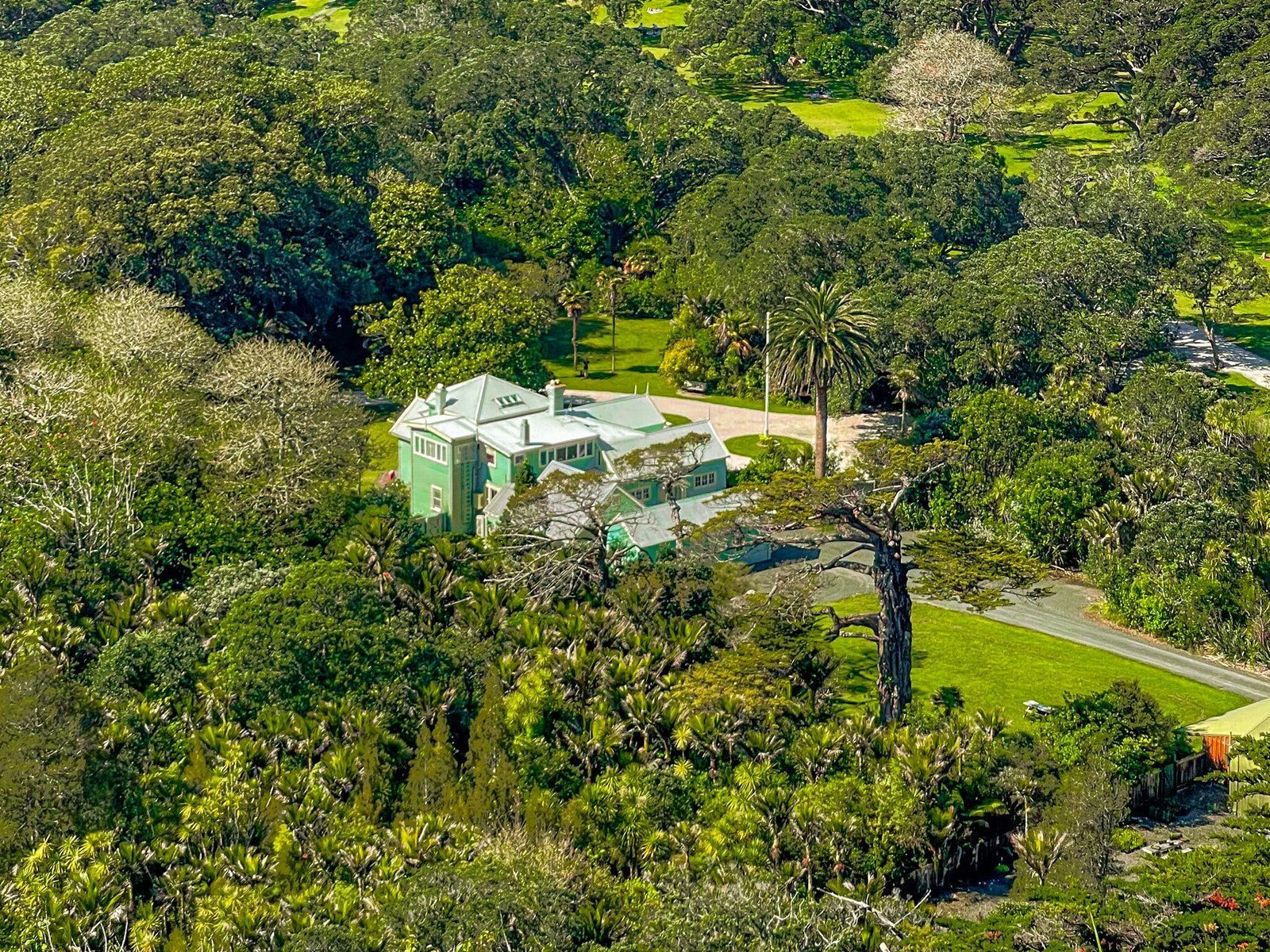
Couldrey House
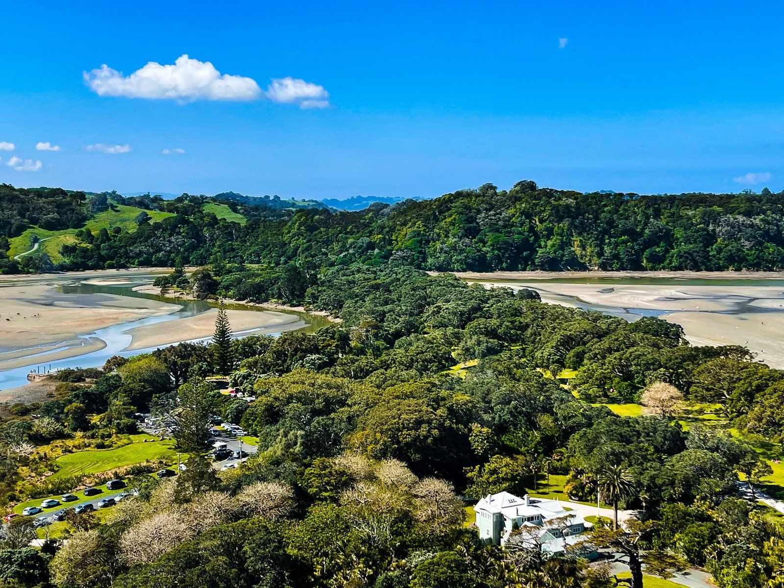
Couldrey House and the gardens immediately around it are at the south end of Te Akeake spit and below Maungatauhoro. It is a short walk from the Wenderholm Regional Park car park. You can go inside on weekends all year round and during the week from Christmas to Easter for a modest fee. But the gardens are easily accessible, free and beautiful with an eclectic range of exotic and native trees and plants.
The first version of the house was built by the Graham family in 1857, then moved to its current location. Four further private owners expanded it and made various other changes. The last private owners were the Couldrey family, who purchased the property in 1940 and both restored and (for the time) modernised it. The Couldreys continued living in the house following the sale of Wenderholm to Auckland City until 1973, when it reverted to the city.
Wenderholm and the house have historically been a place of interest for foreigners to visit. Famous visitors included Queen Elizabeth II in 1953 and Vivien Leigh (Gone with the Wind), plus the Royal Shakespeare Company.
Te Hikoi Track Part 1
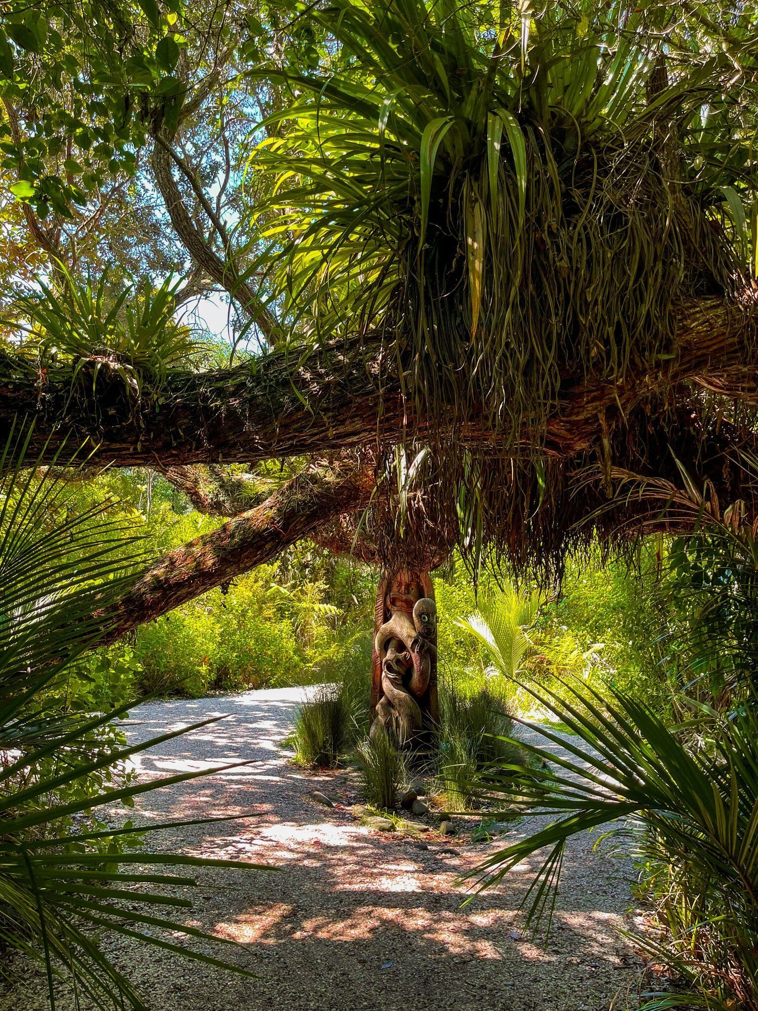
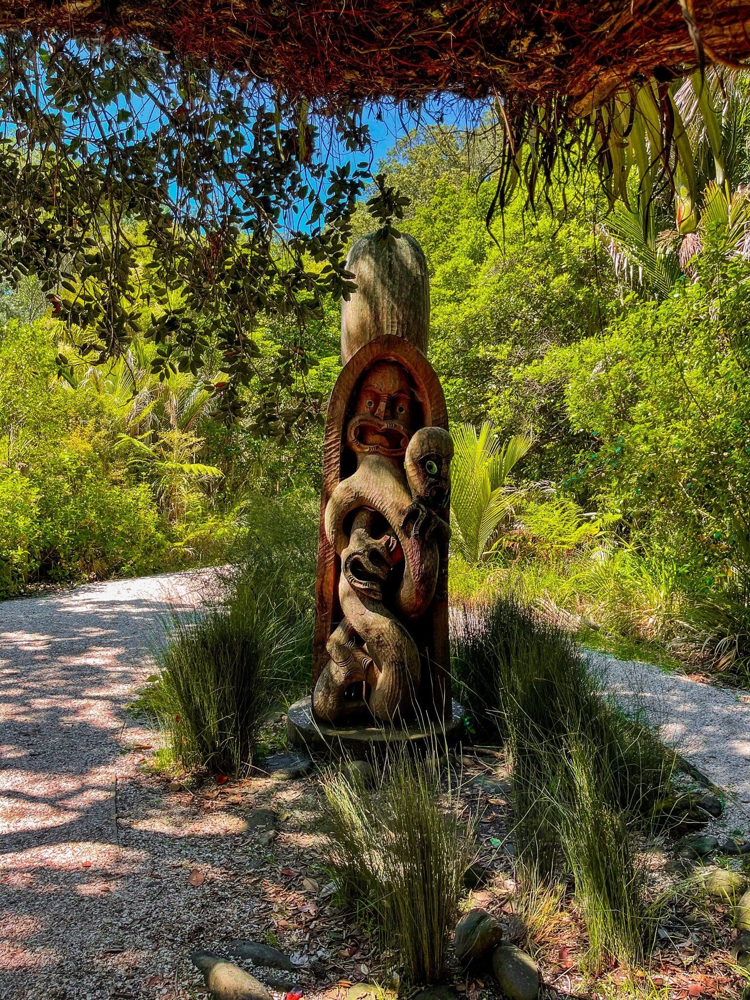
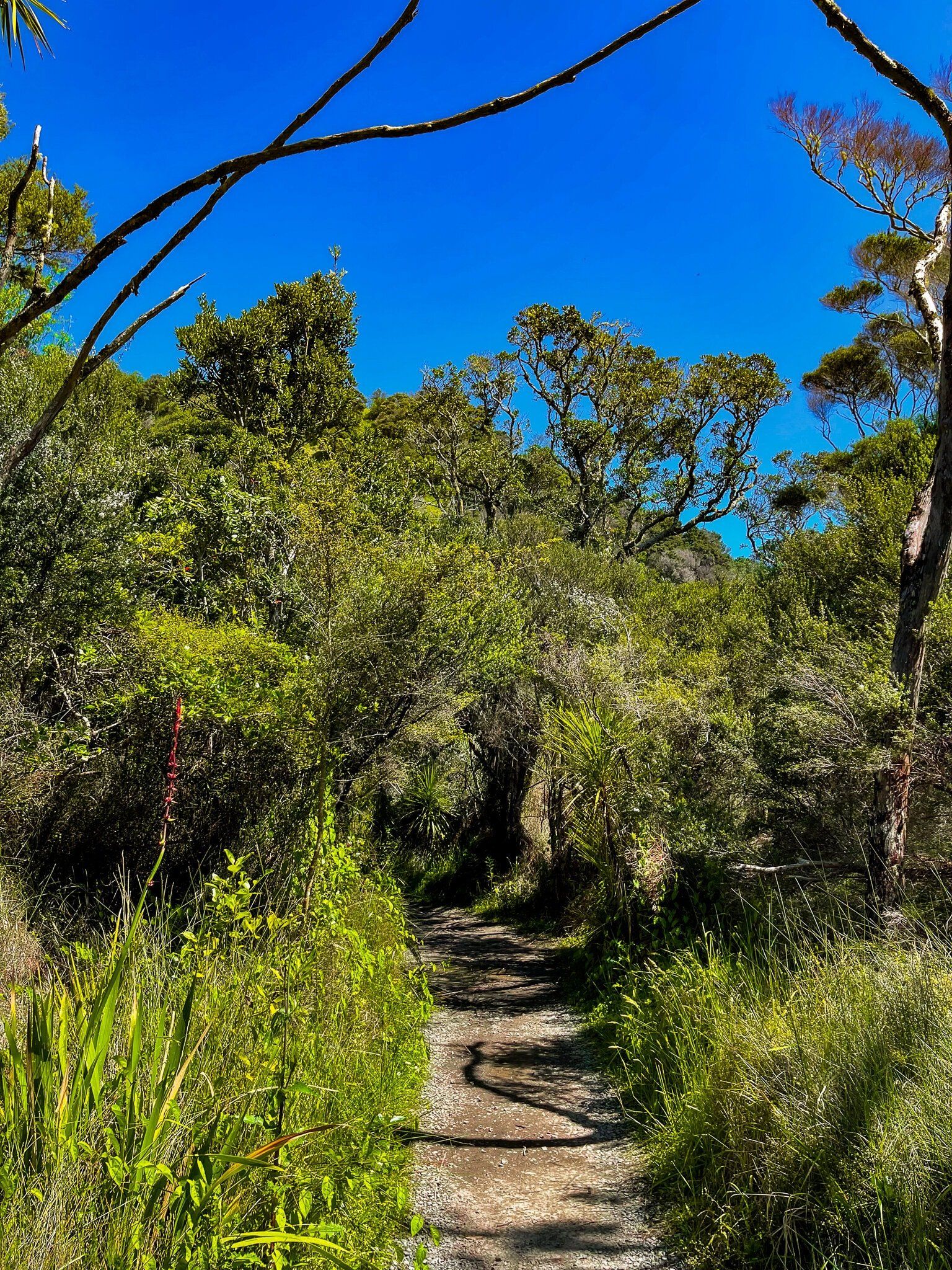
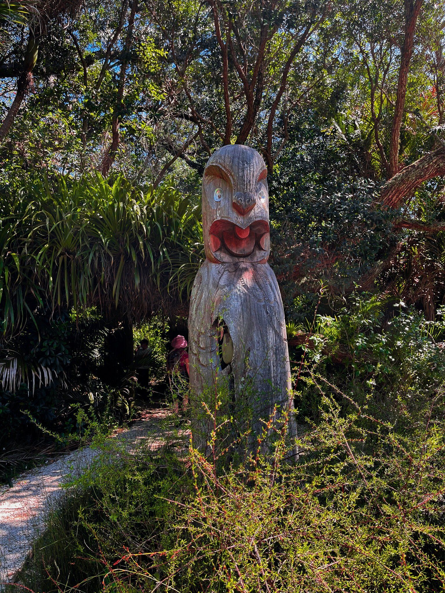
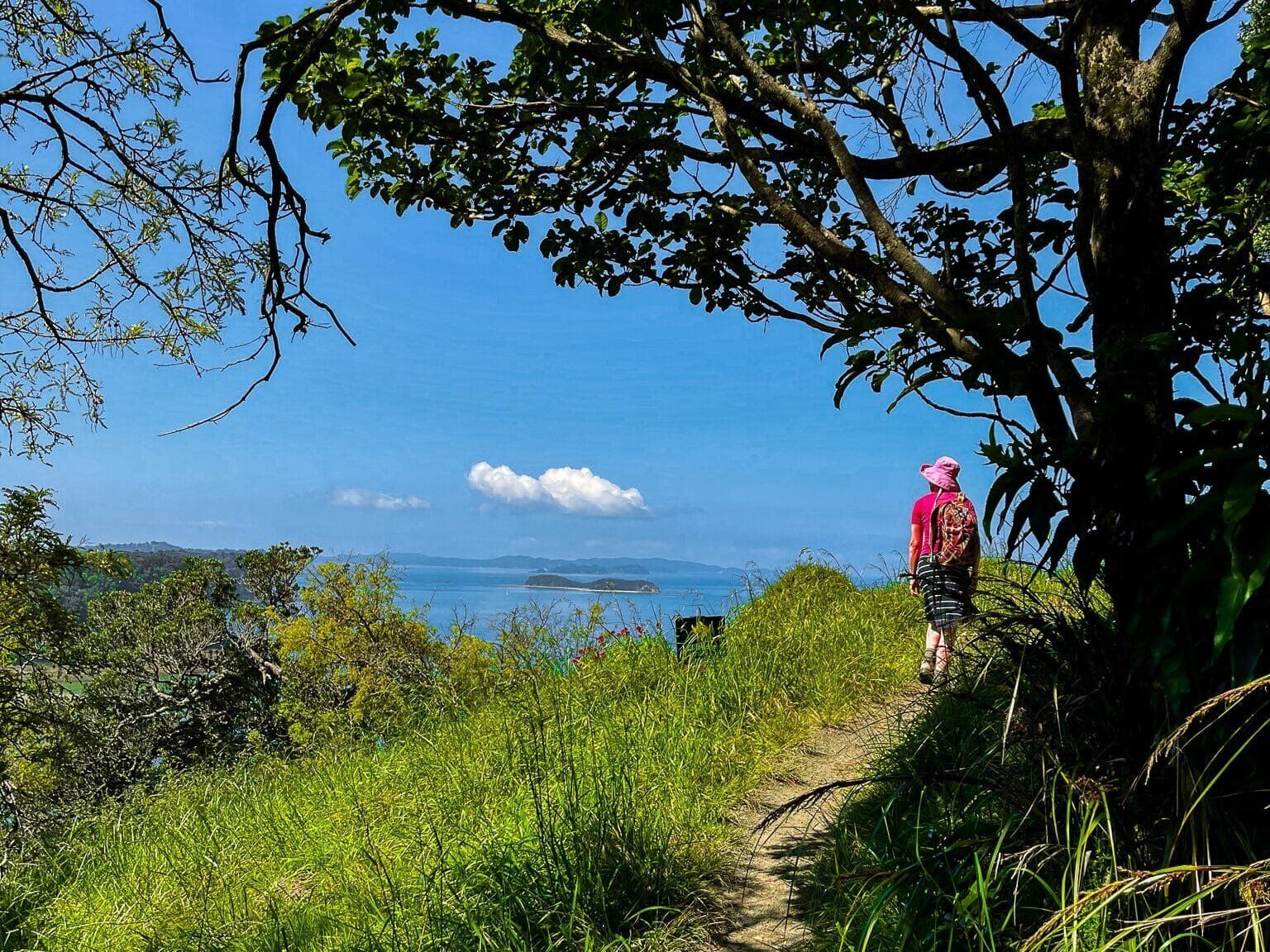
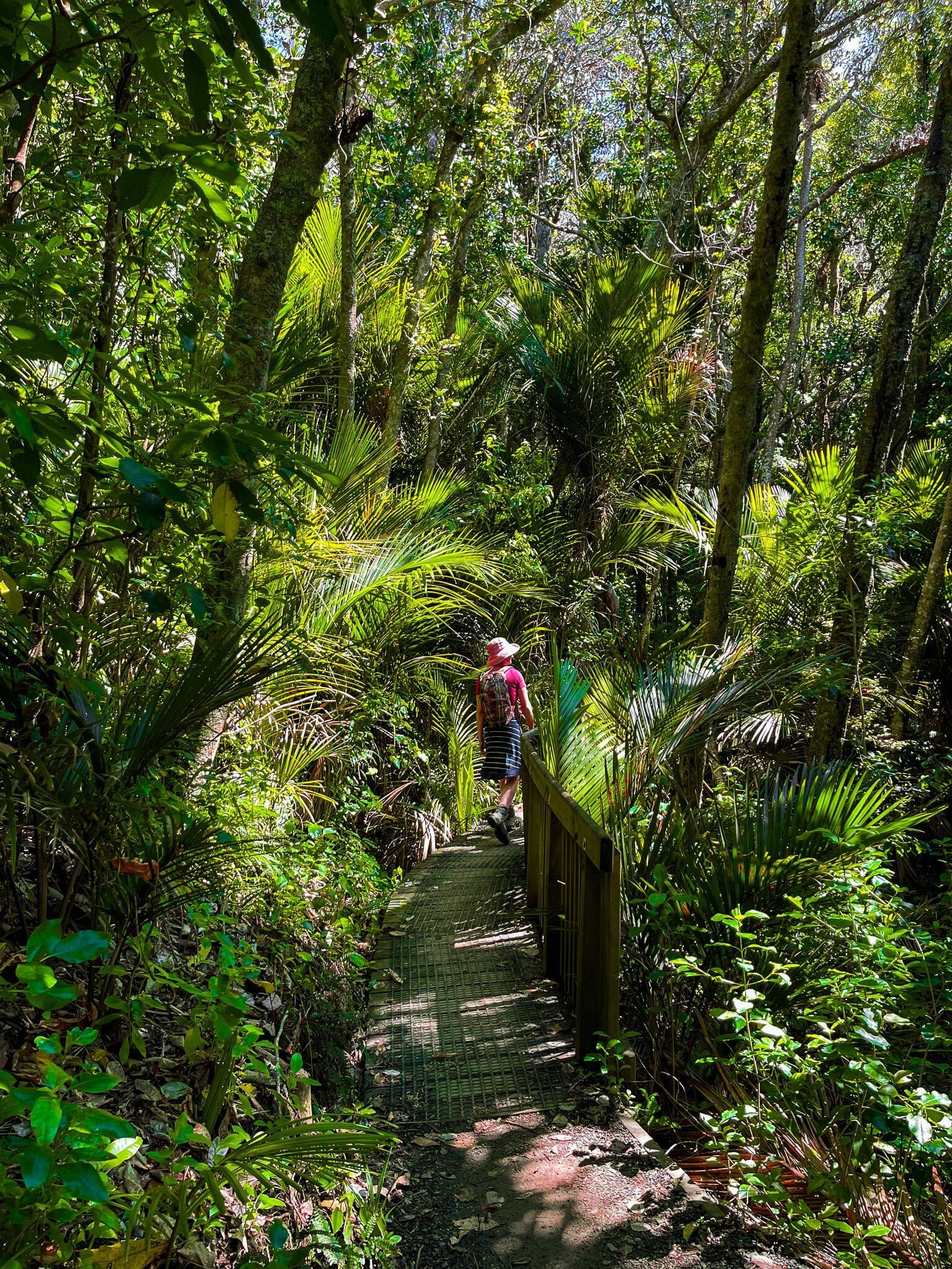
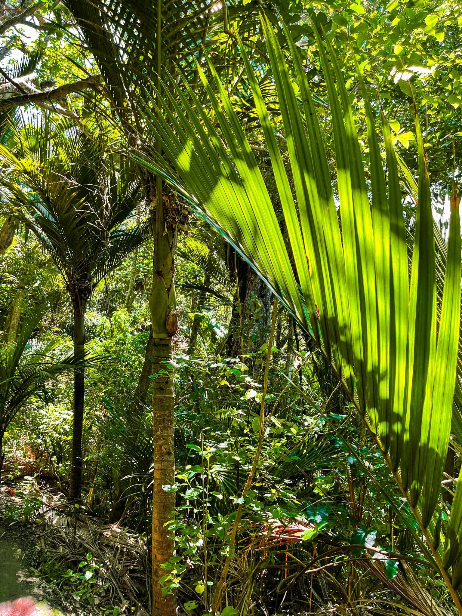
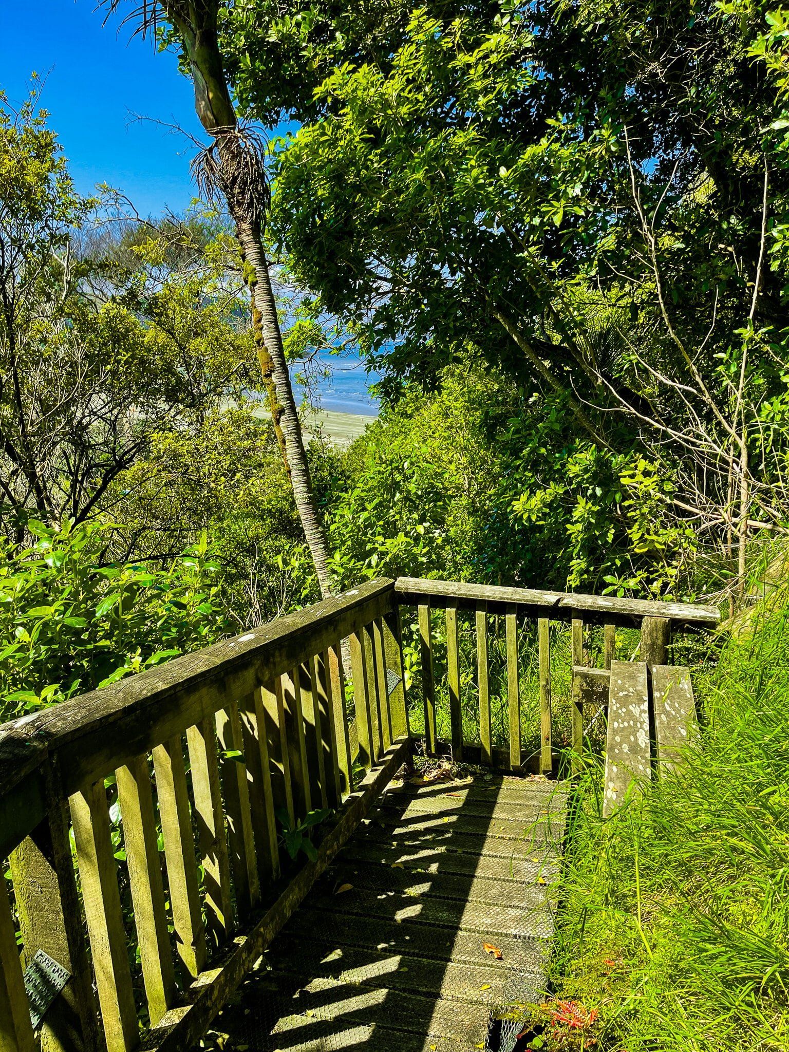
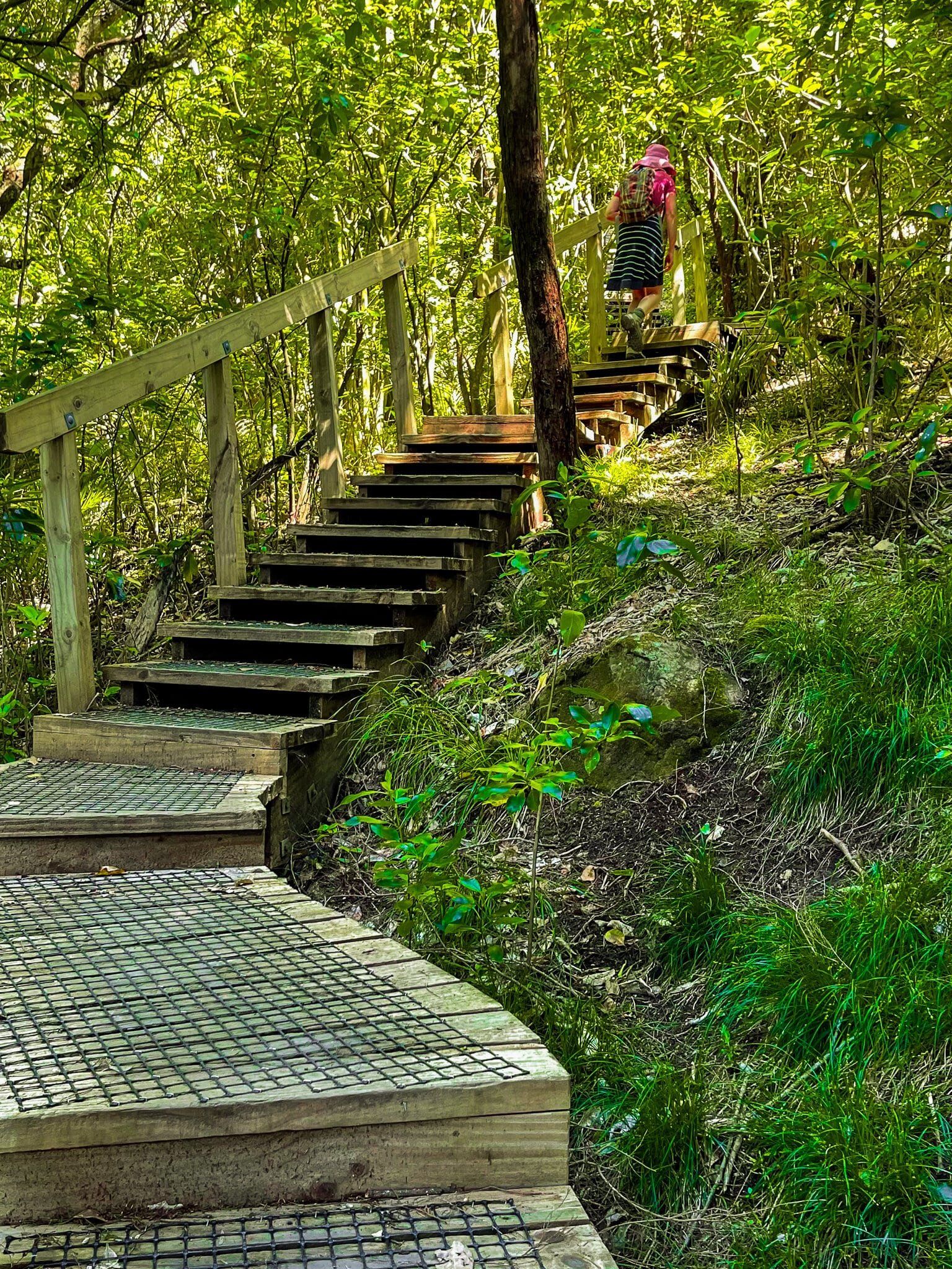
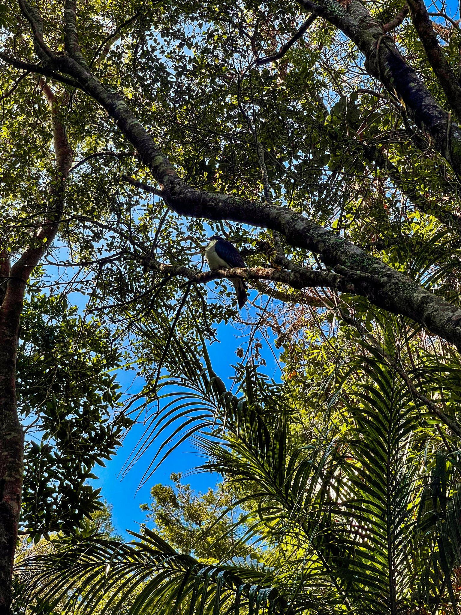
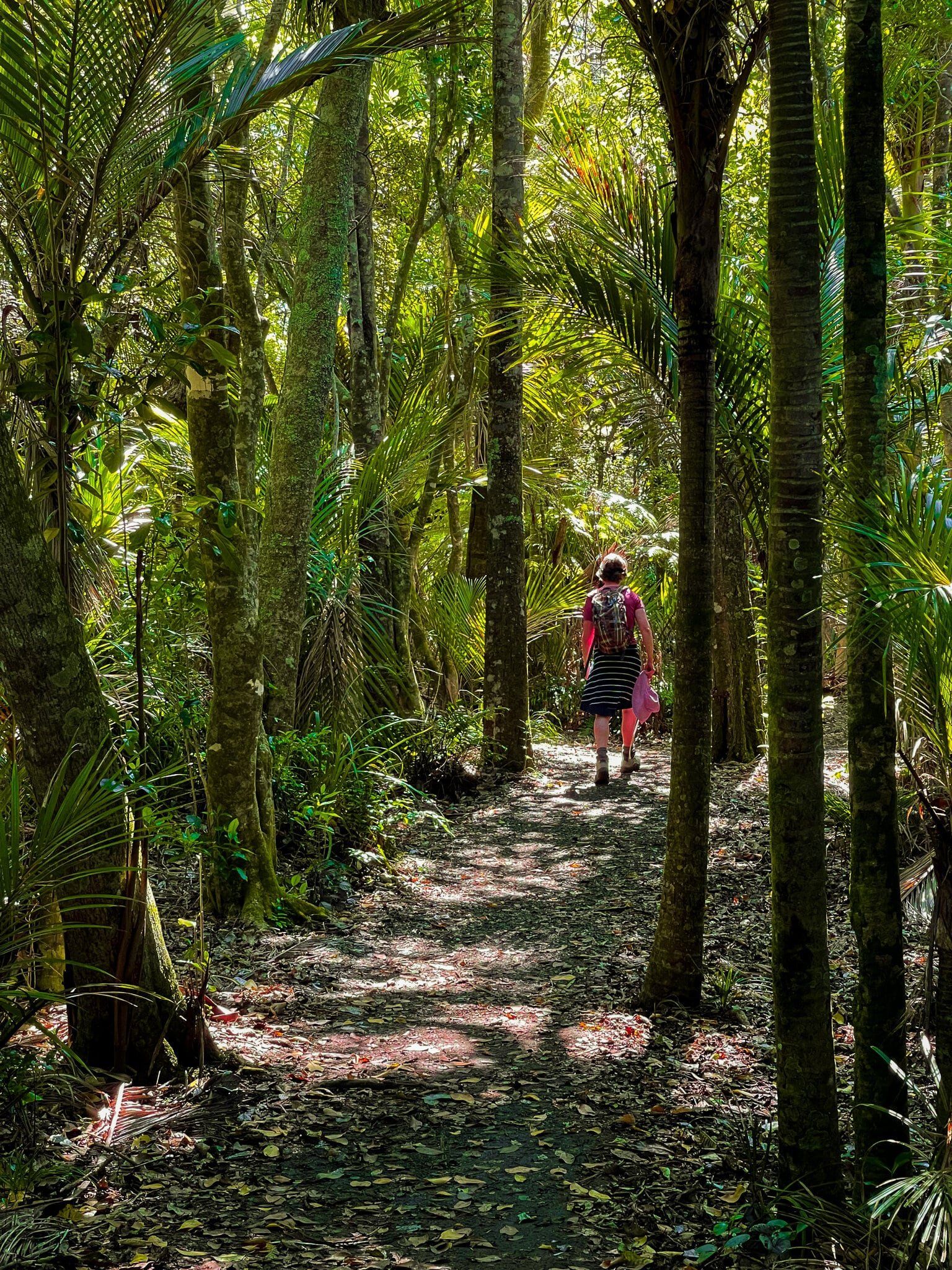
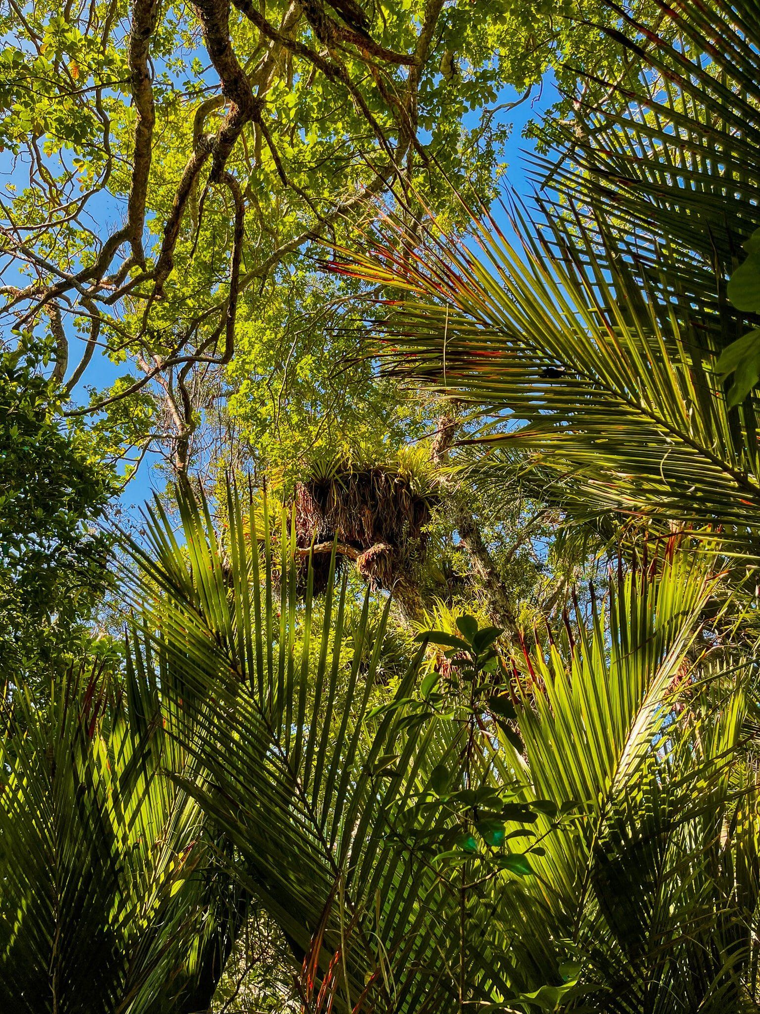
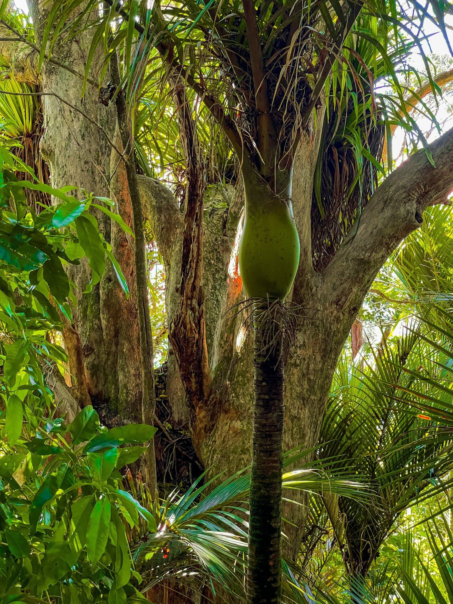
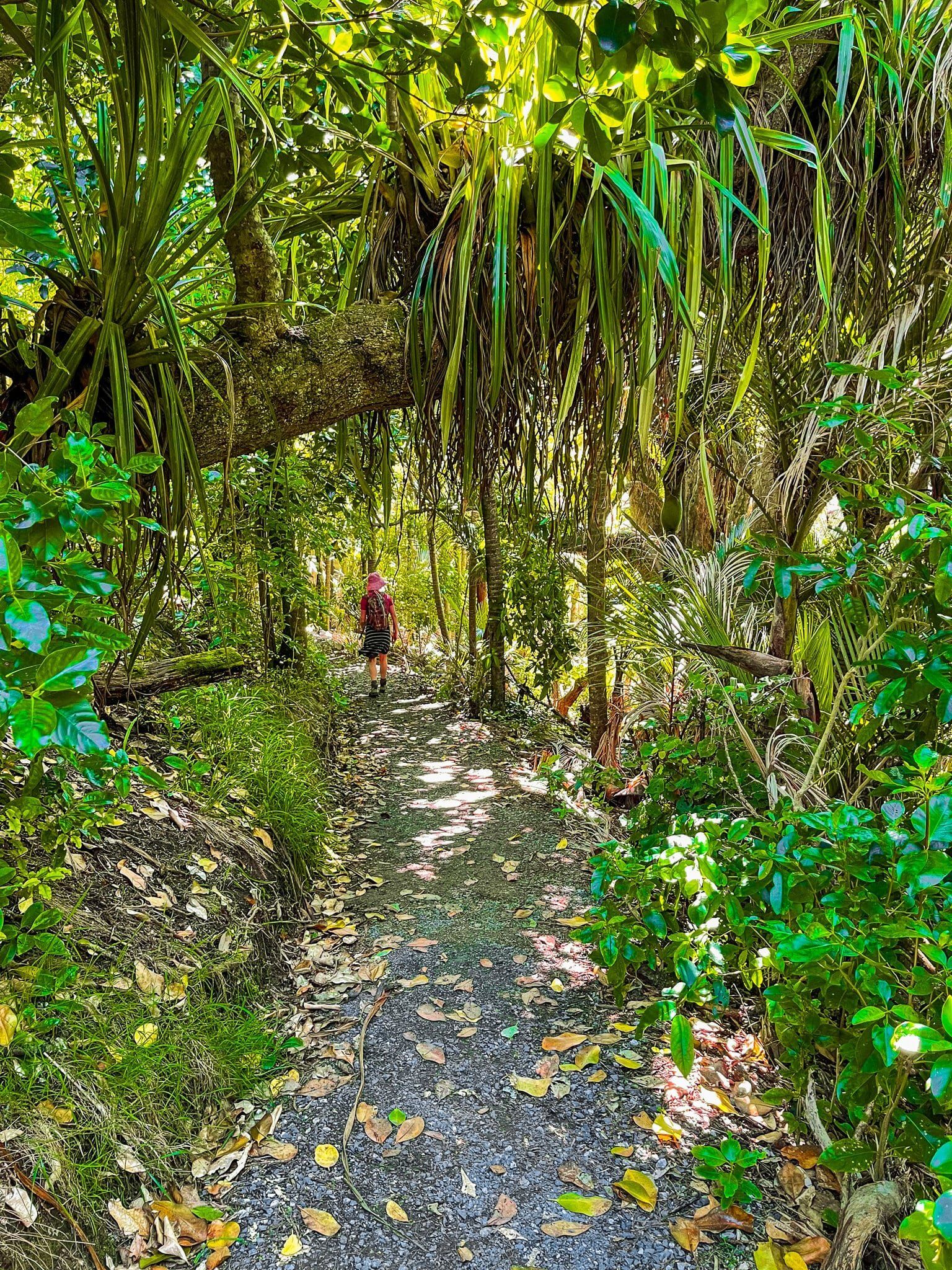
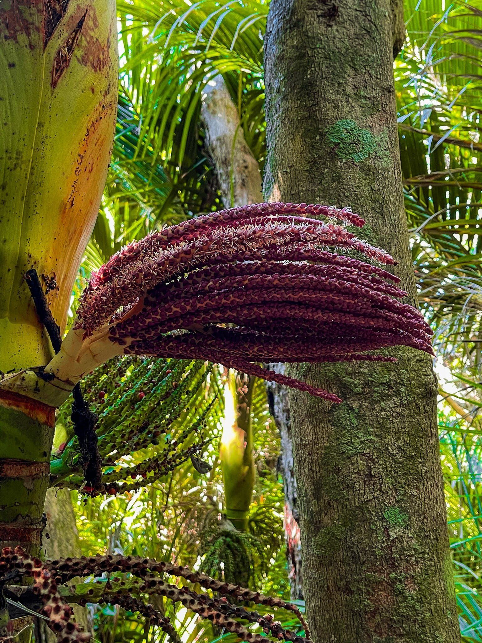
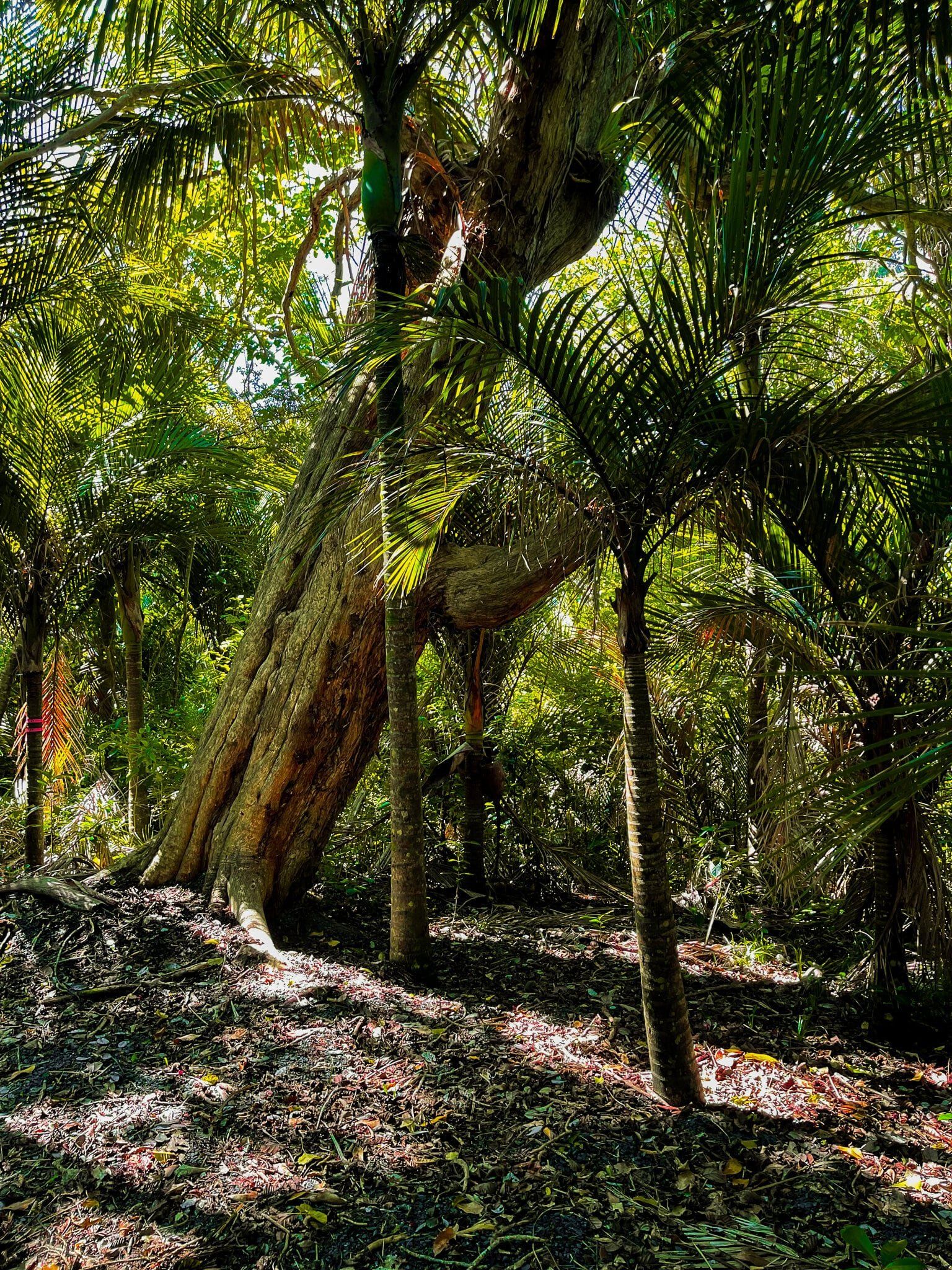
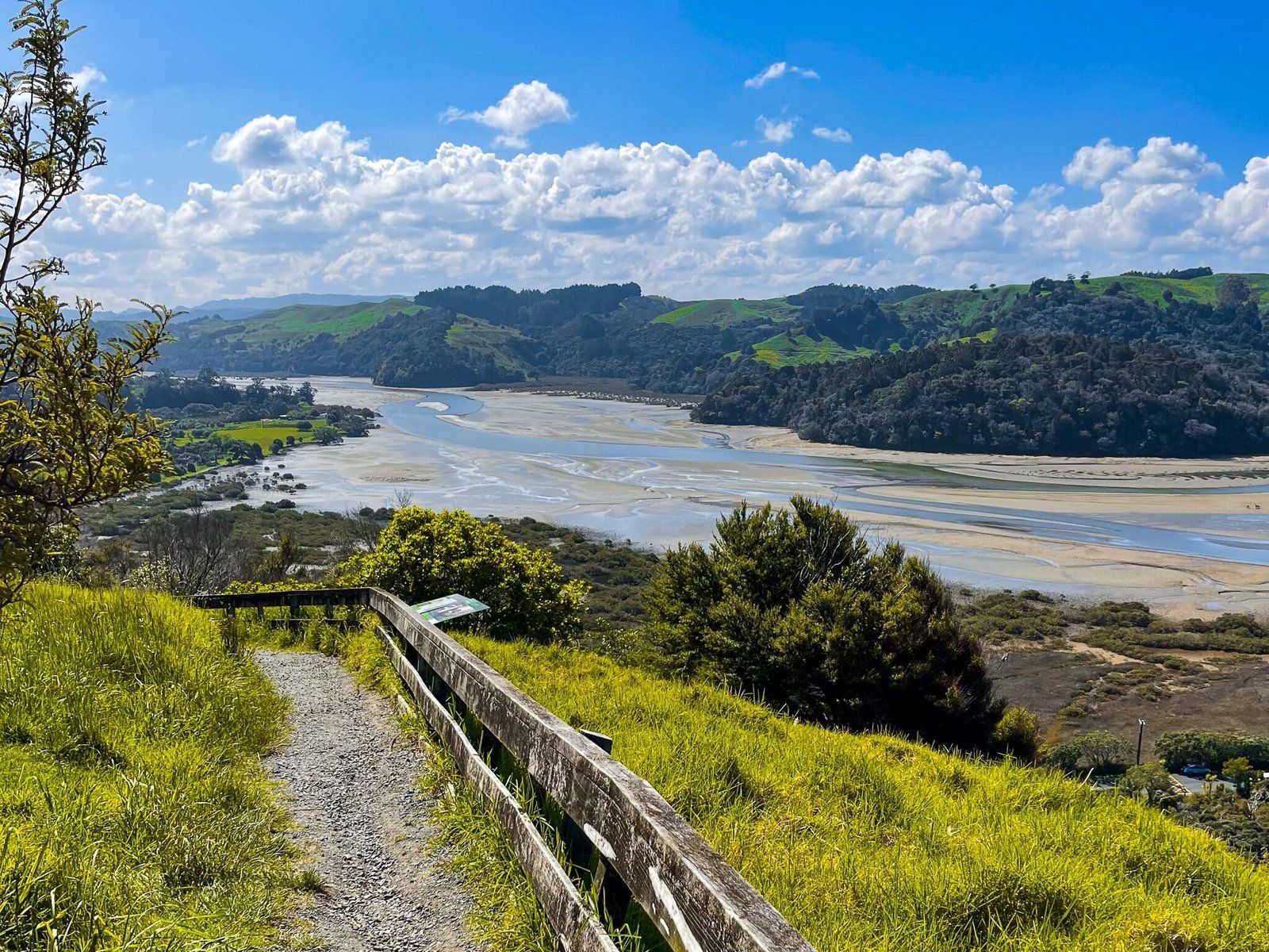
The first part of Te Hikoi (‘the walk’) starts almost immediately behind Couldrey House and takes you up to the high point above the coastal cliffs of Maungatauhoro. The track has a number of steps and climbs about 150 metres, but is gravelled and well-maintained. The first section is also part of Te Araroa.
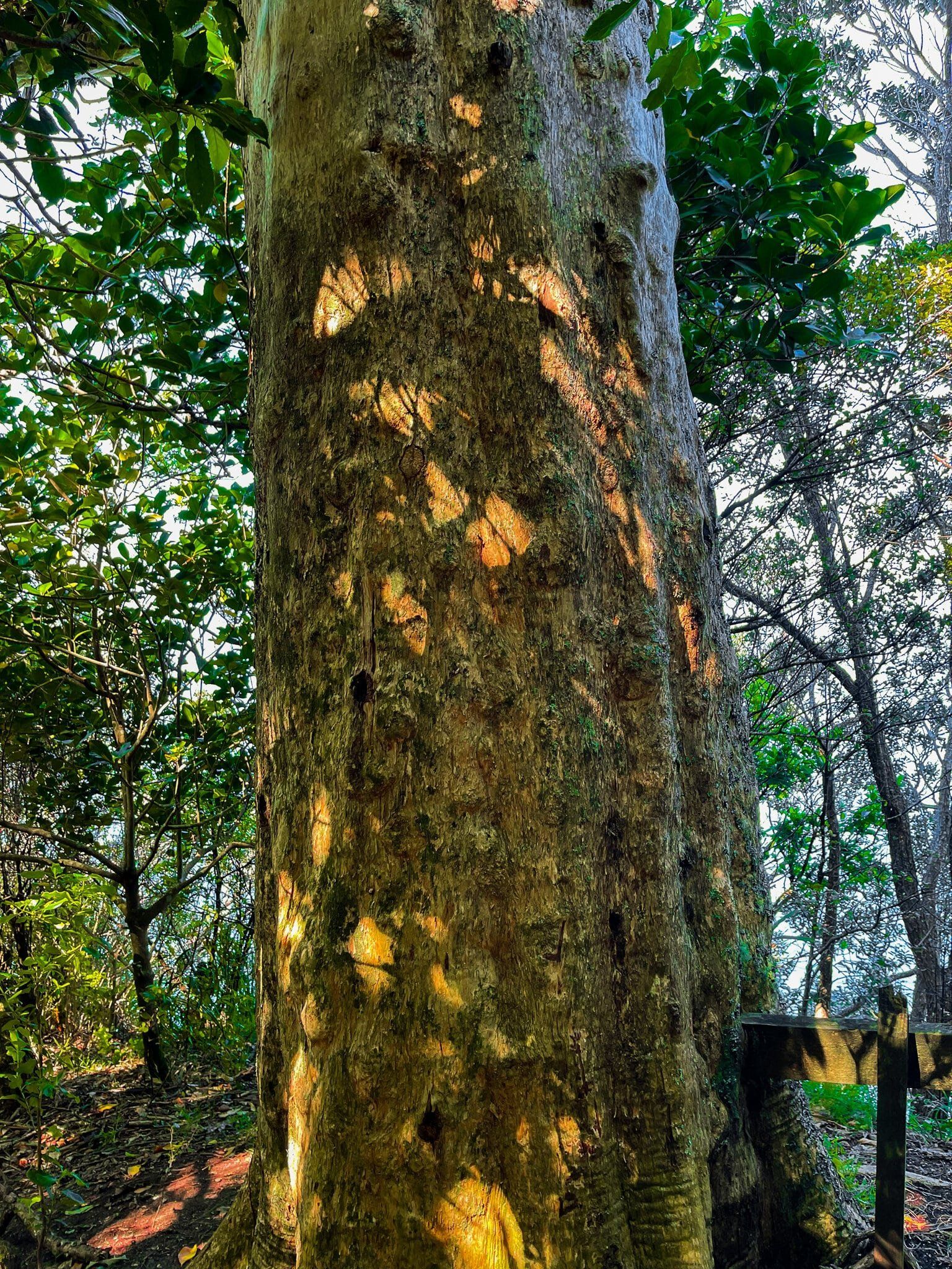
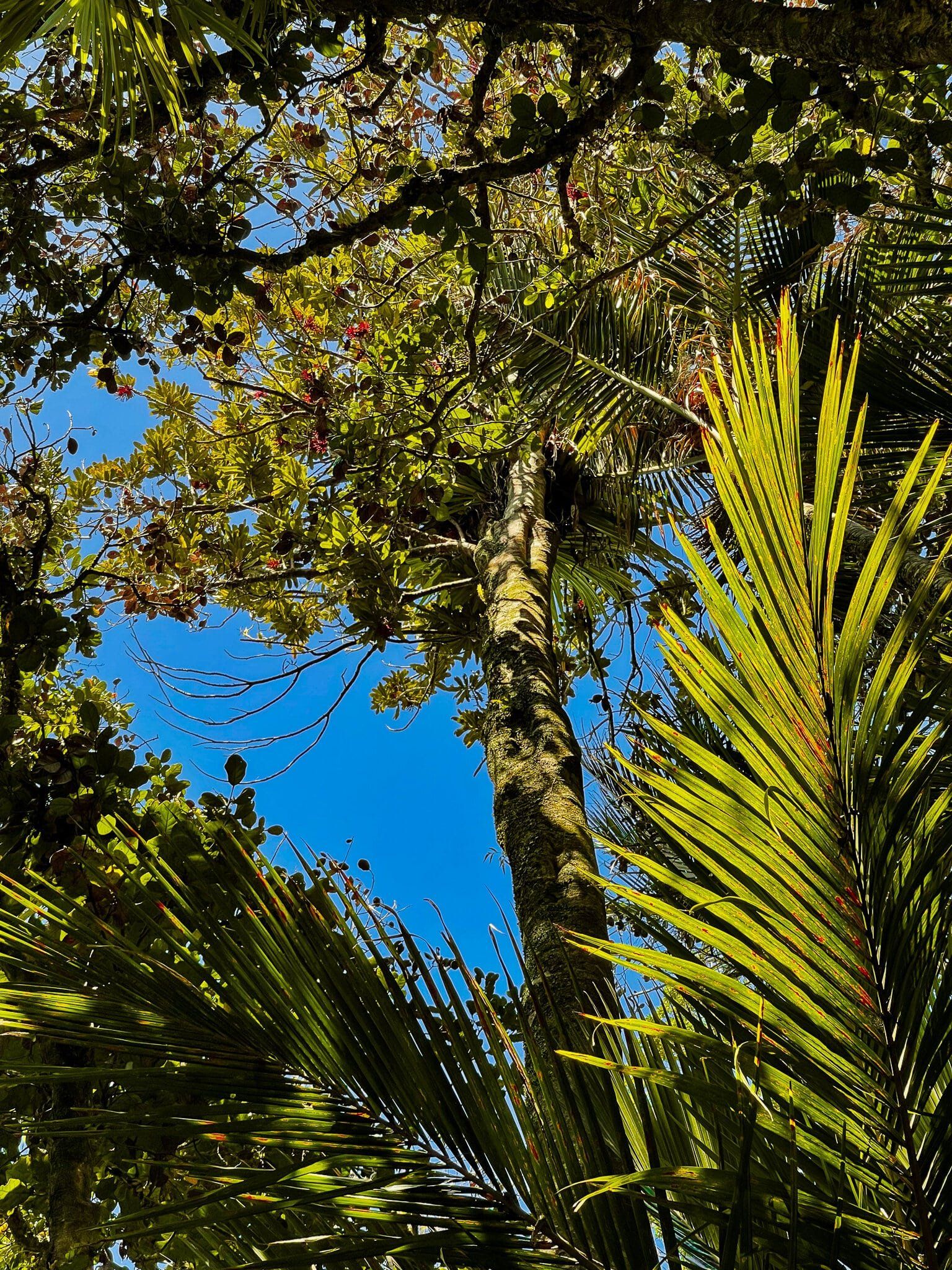
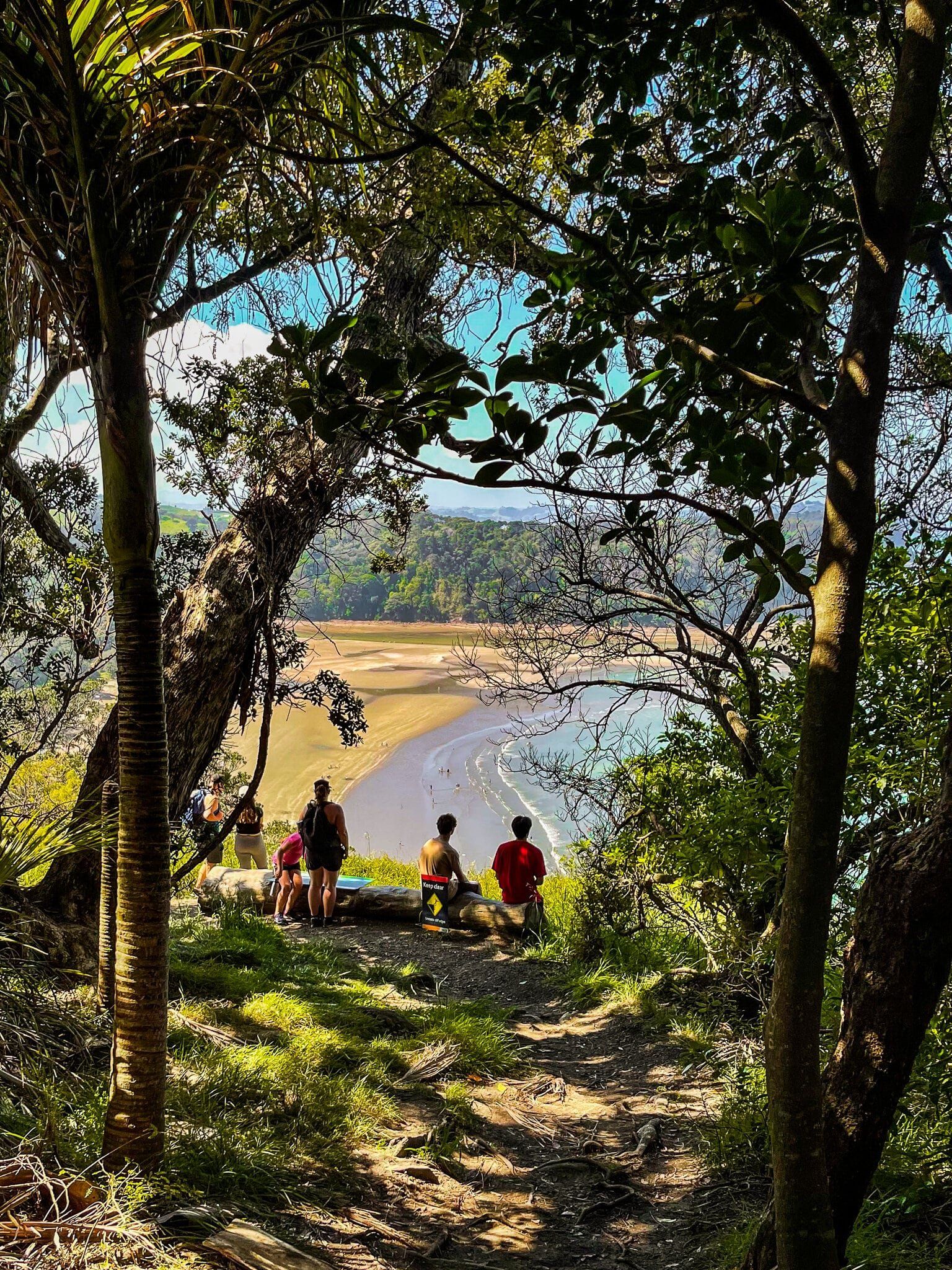
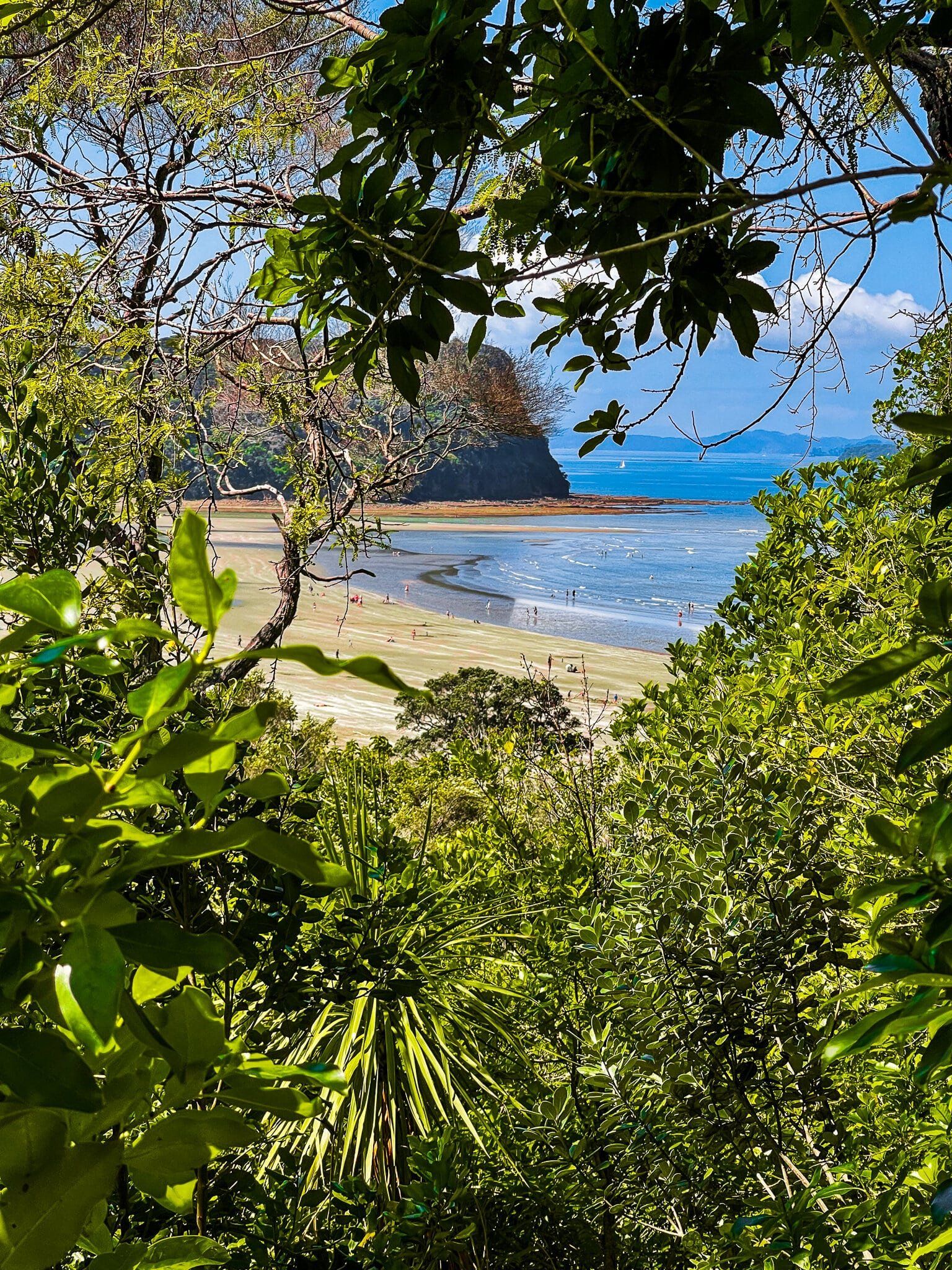
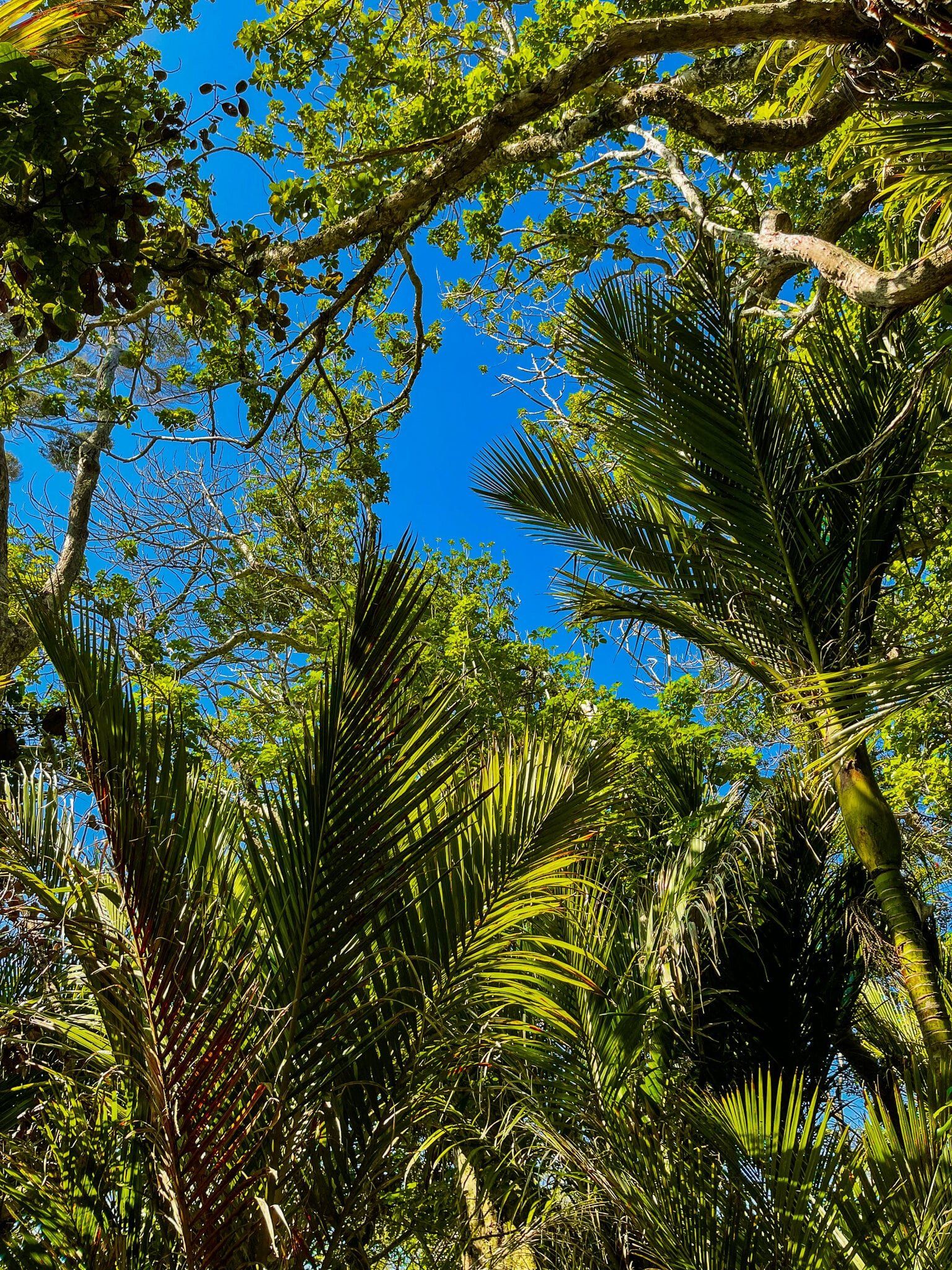
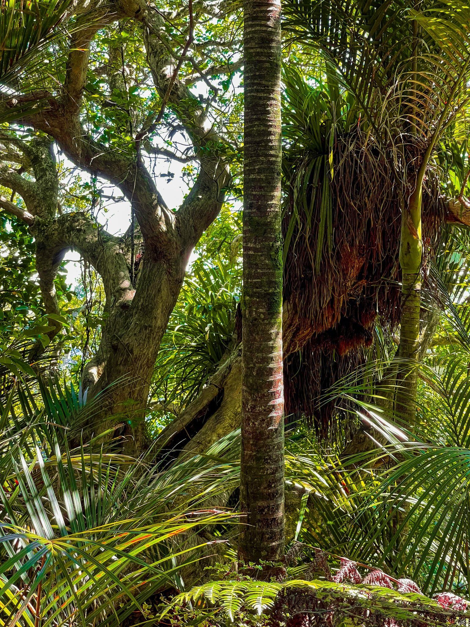
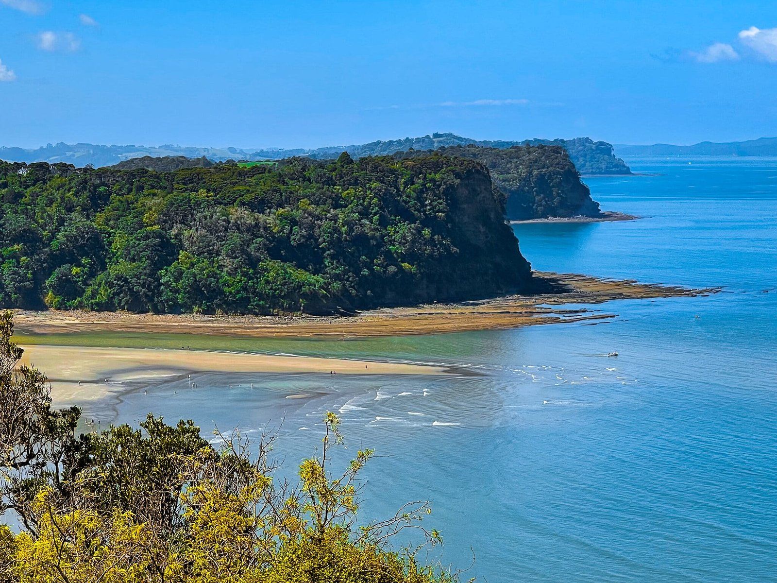
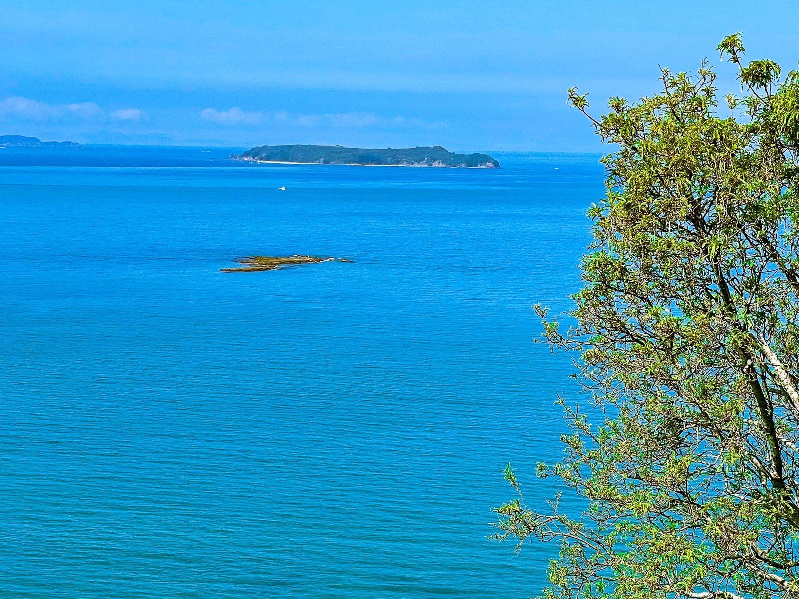
This track takes you through one of the best remnant native coastal forests in the Auckland region, certainly outside of the Waitakere Ranges. About two thirds the way up, there is a fabulous cliff edge viewpoint looking north back along the beach and up the coast. Near the top, you will be at the site of the Kakaha Pā, which is signposted but now well overgrown by regenerating forest.
From there, you can continue on a wider loop (rough tramping track) around the mount to the Waiwera Estuary (staying on Te Araroa) or loop back to the start by following the second section of Te Hikoi across the top and back down to the start.
Te Hikoi Track Part 2
From the top of the first section of Te Hikoi, you can continue on Te Araroa around the coast on a rough tramping track, or continue to follow Te Hikoi over Maungatauhoro to loop back to the start of the track behind Couldrey House. About halfway along the second section, the track connects with the Puhoi Track in a wide open grassed area, which takes you south to connect with Te Araroa at the Waiwera Estuary.
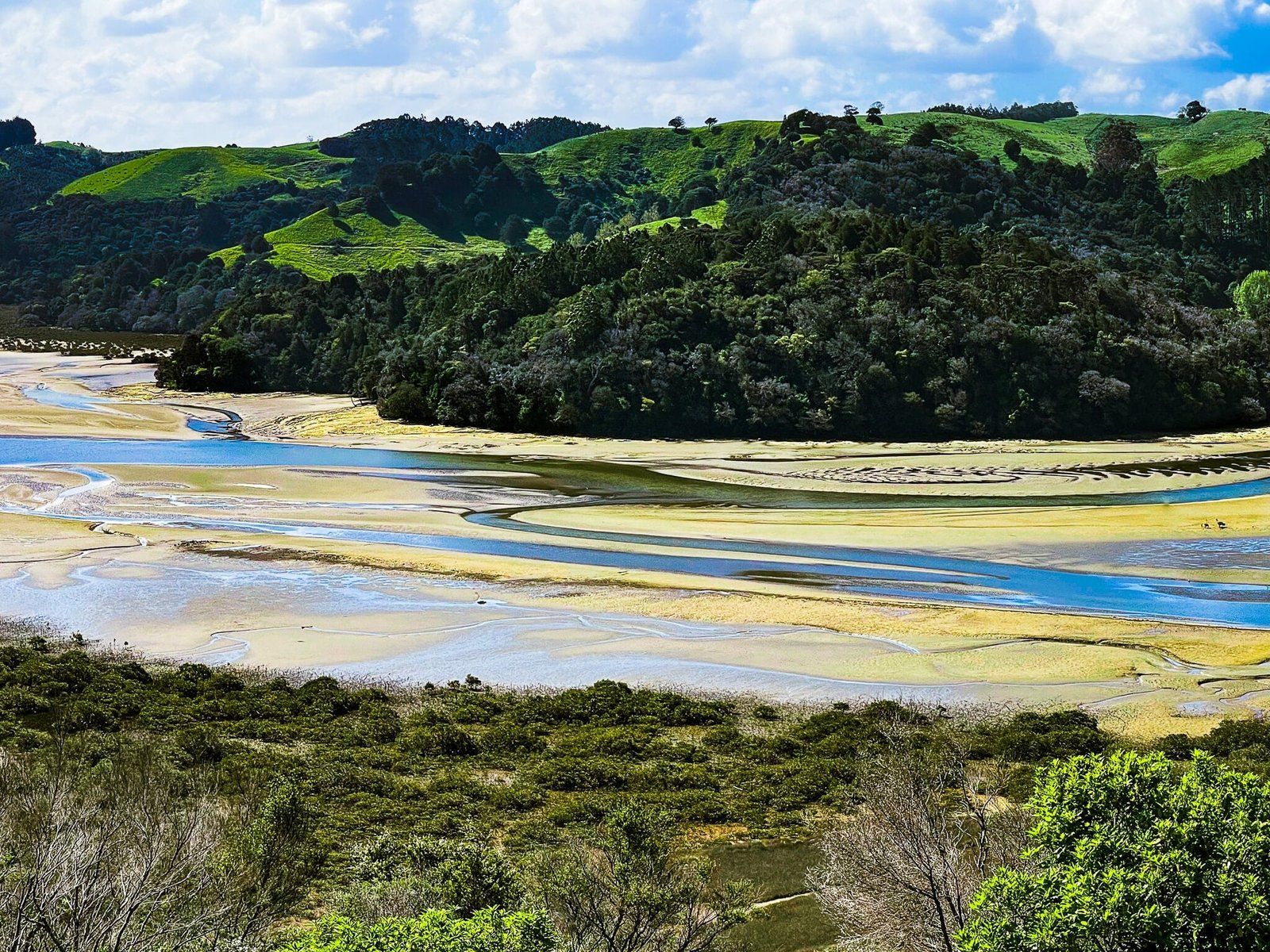
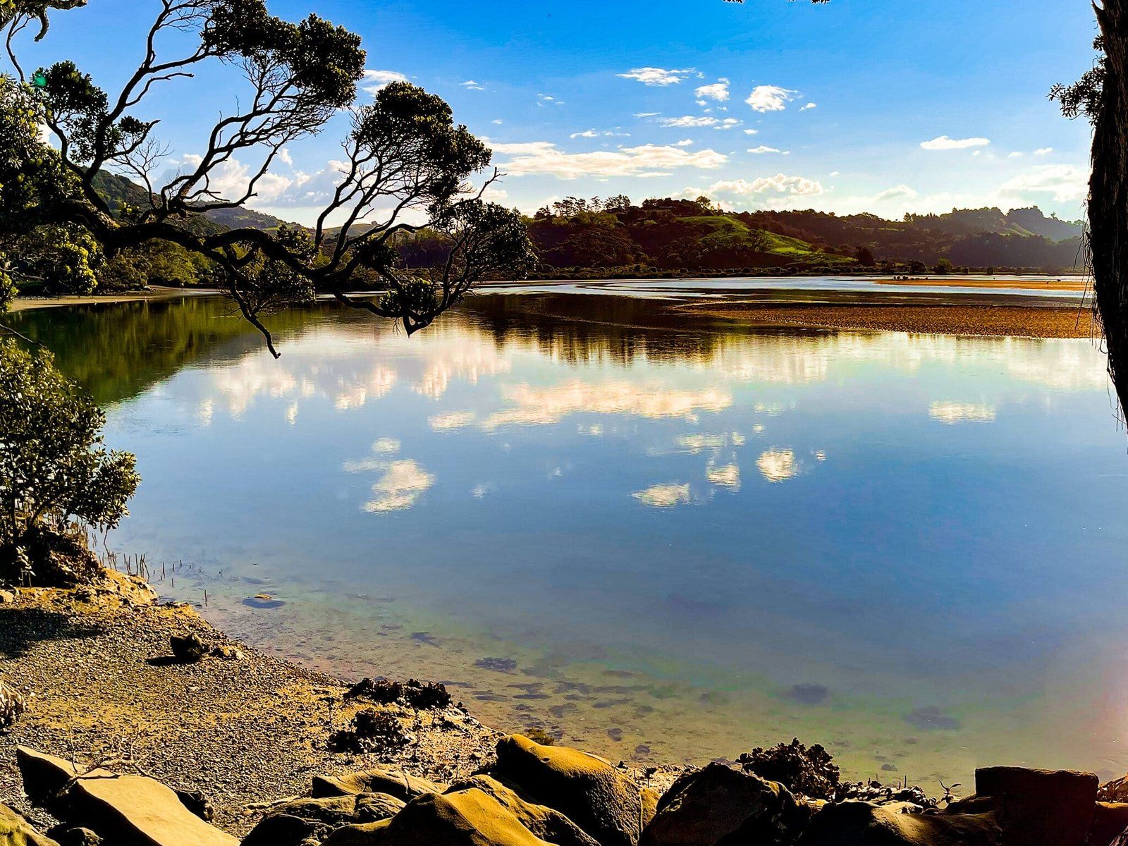
Continue straight on Te Hikoi through more forest and another excellent viewpoint over the Pukoi River, which snakes behind Te Akeake spit to the north end of the beach. There is then one more secretion of downhill through native forest to complete the loop.
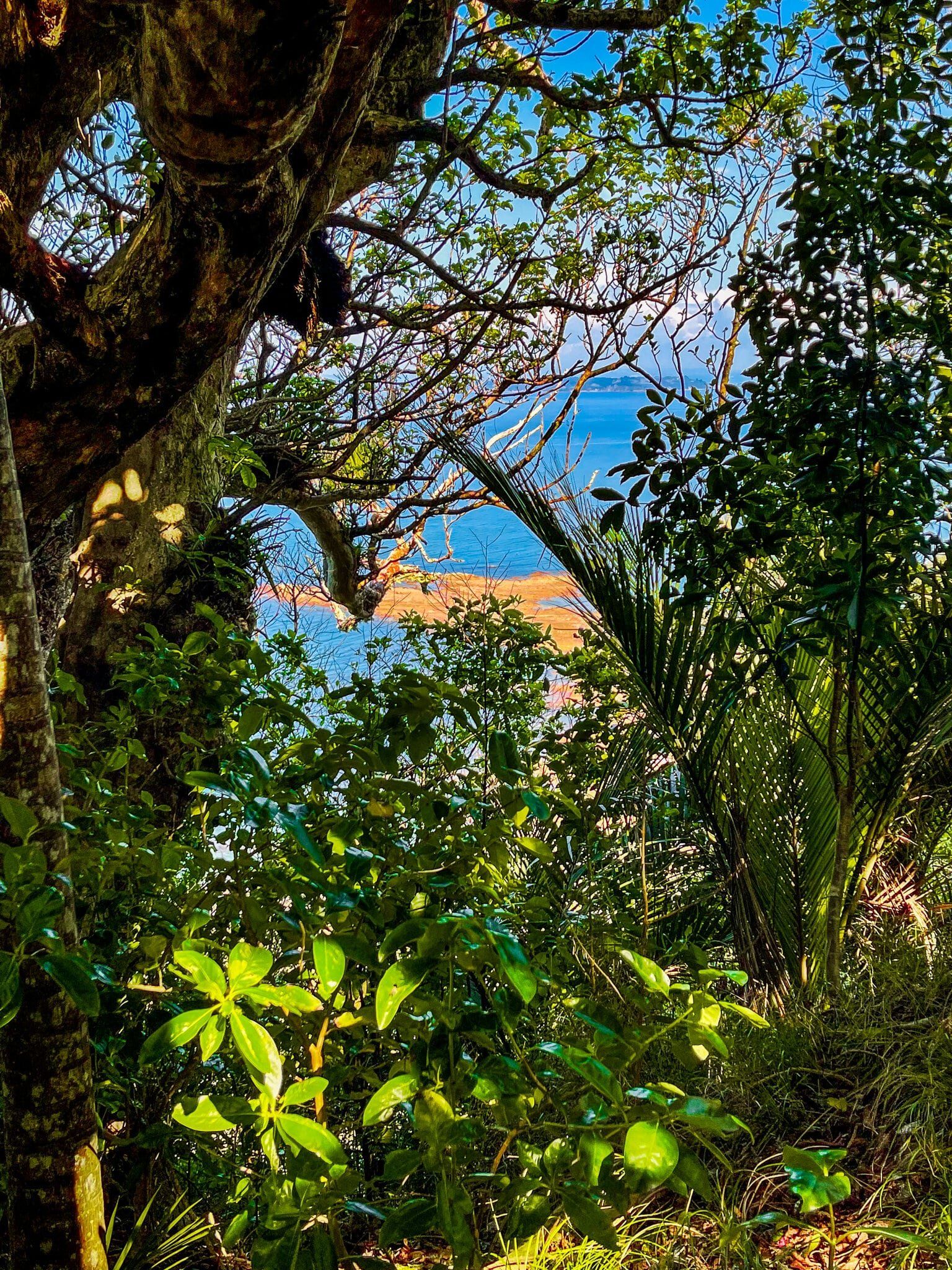
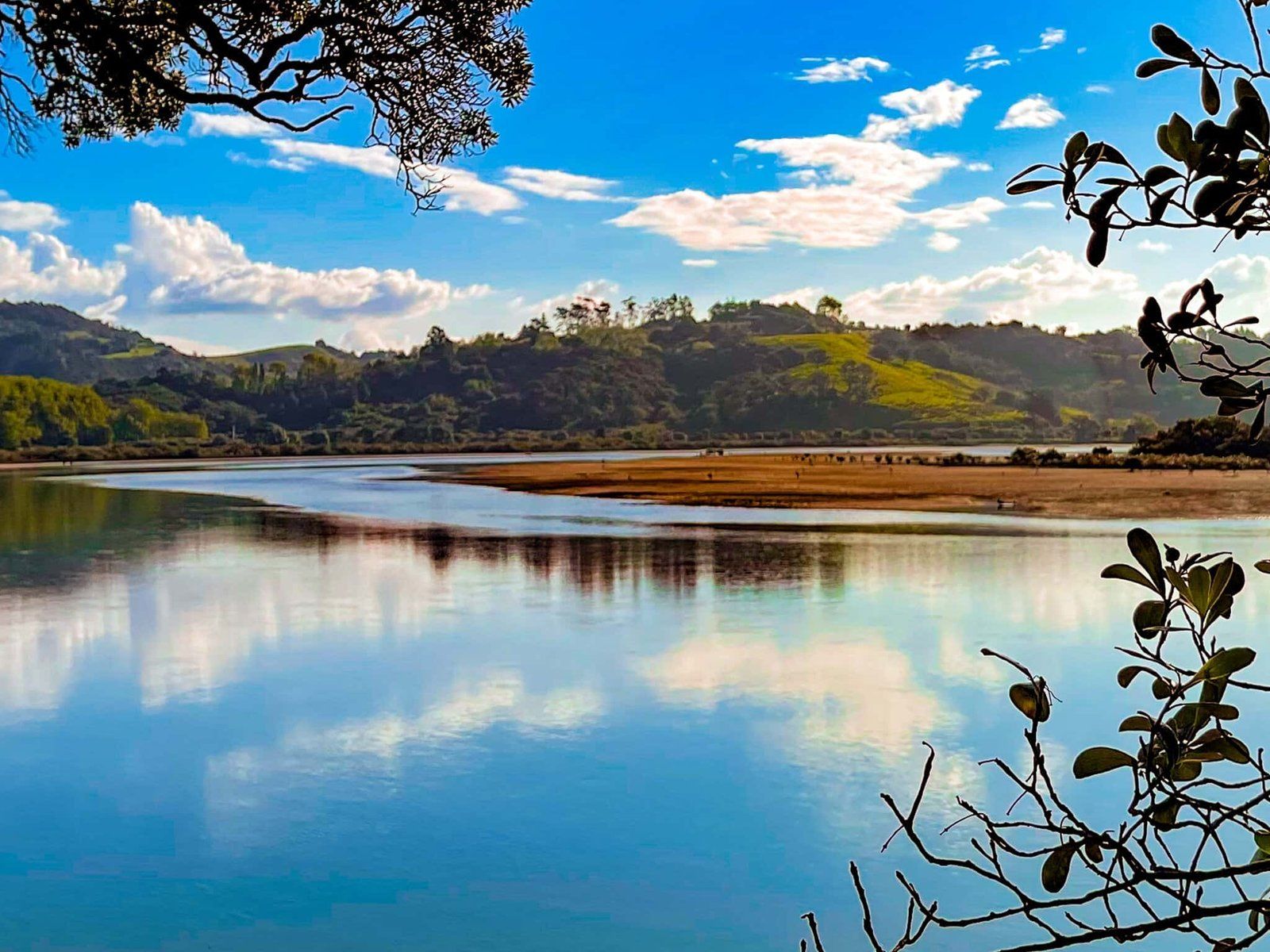
Te Hikoi Viewpoints
Te Hikoi Track has some of the best viewpoints around the northern part of the Auckland region.
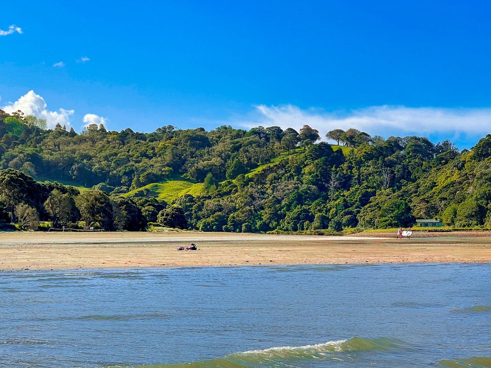
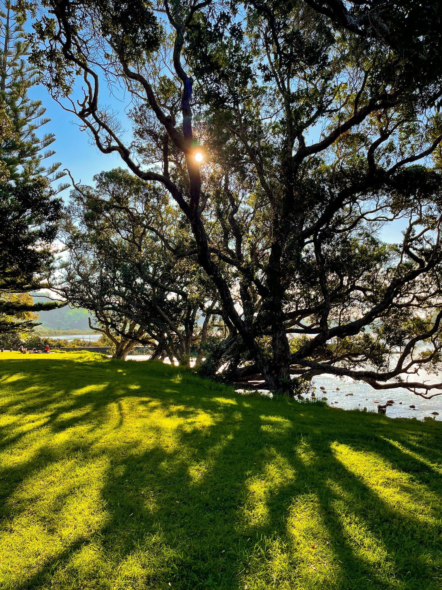
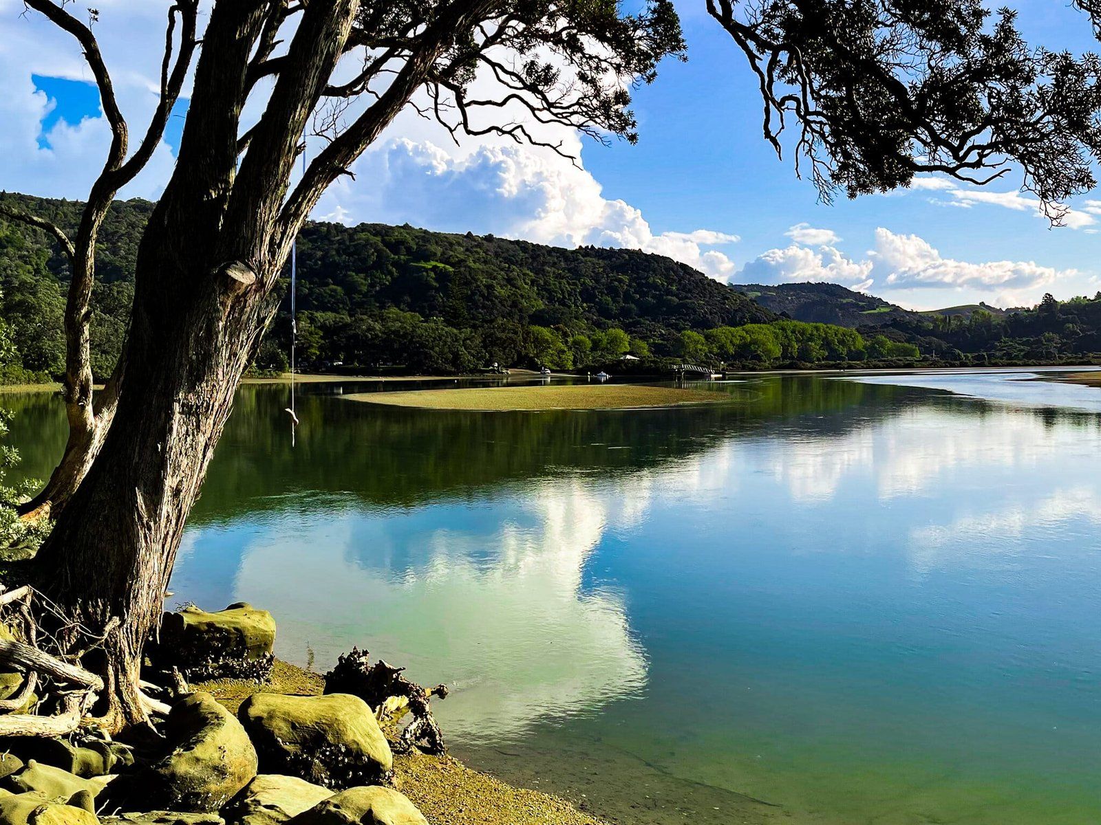
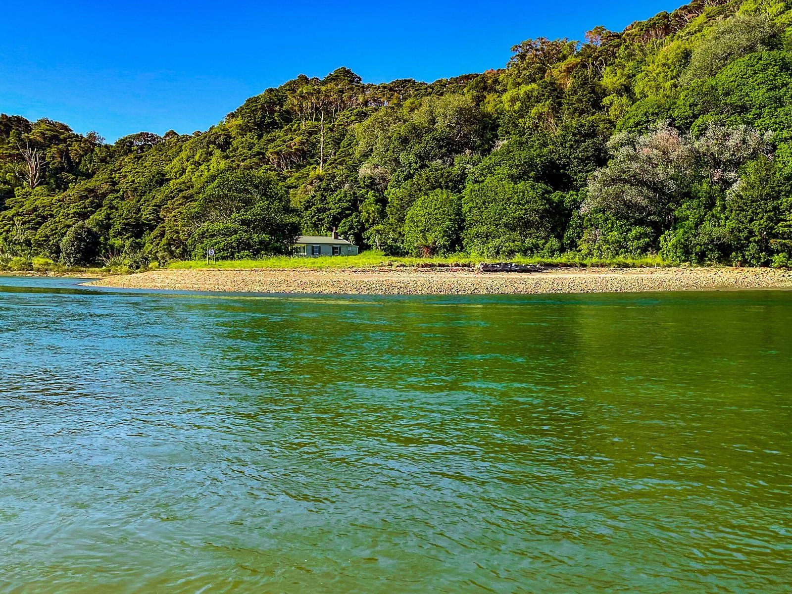
Te Akeake Walk
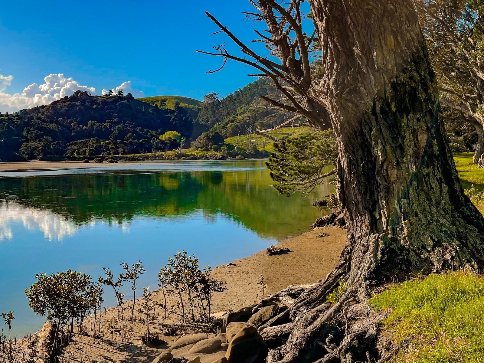
Te Akeake Walk is an easy flat walk along the Te Akeake spit at the edge of the Puhoi River and estuary to the river mouth. It is mostly grassed with overhanging mature pohutukawa. There is plenty of space for lying around or some kind of pickup game.
It is prettiest at golden hour and as the tide comes in, filling out the estuary. Perfect for an evening picnic!
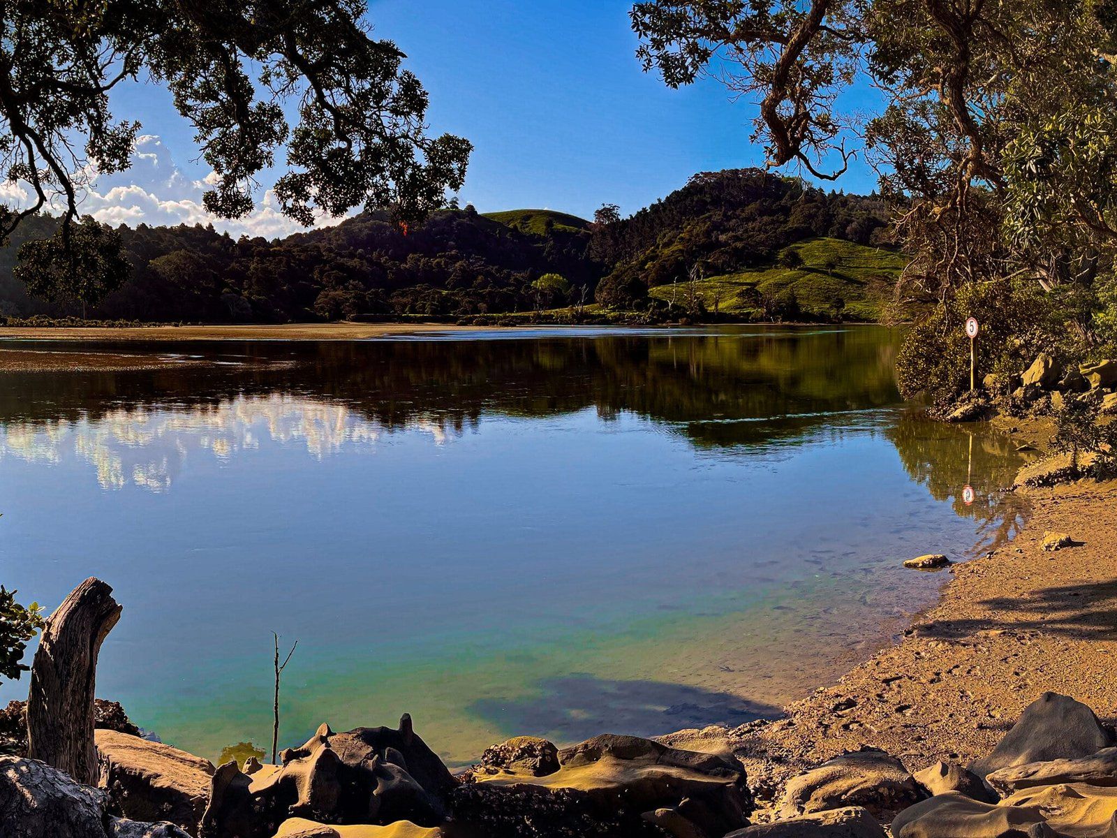
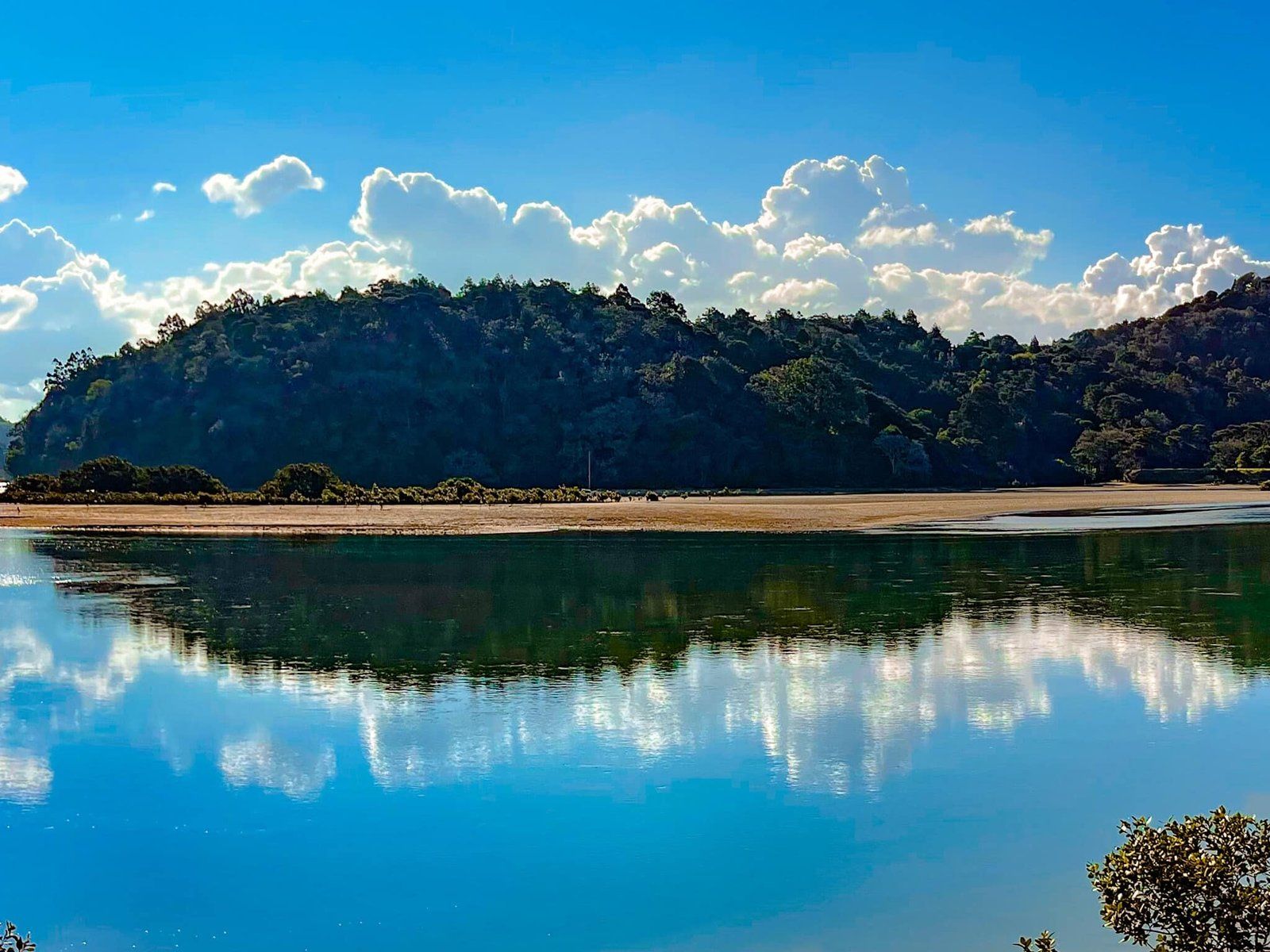
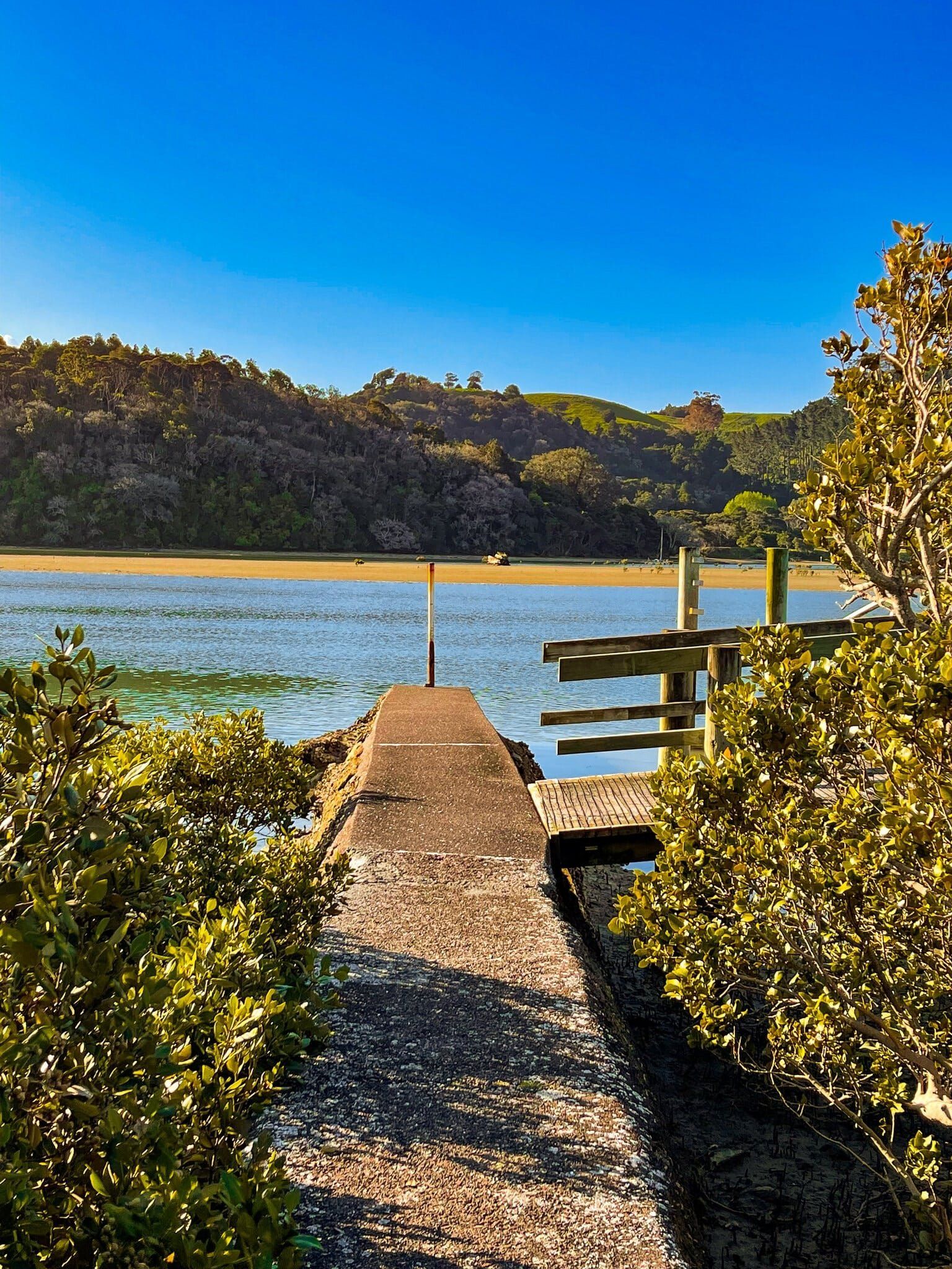
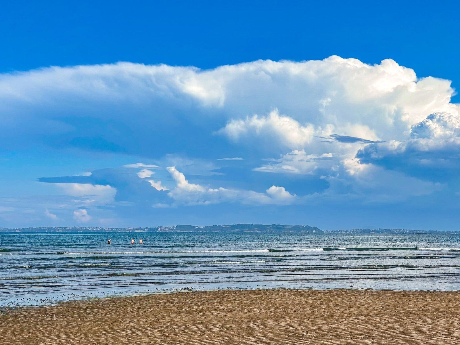
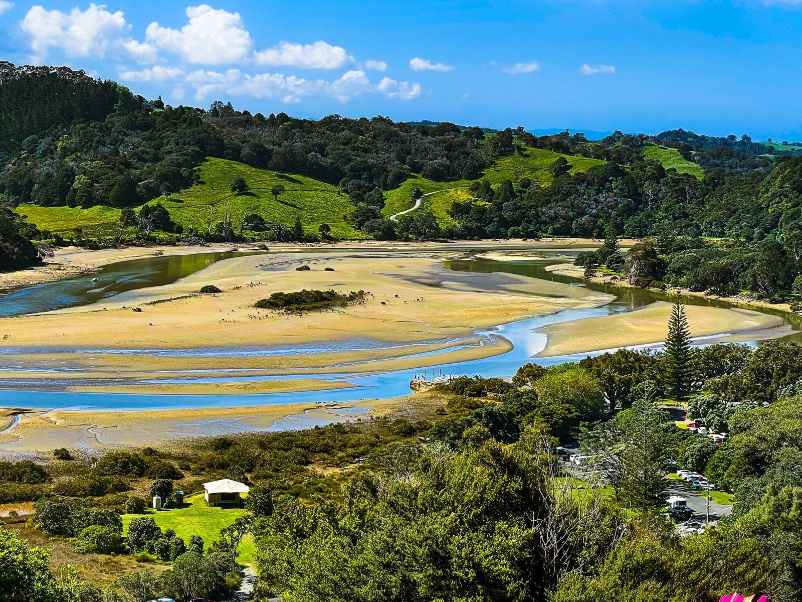
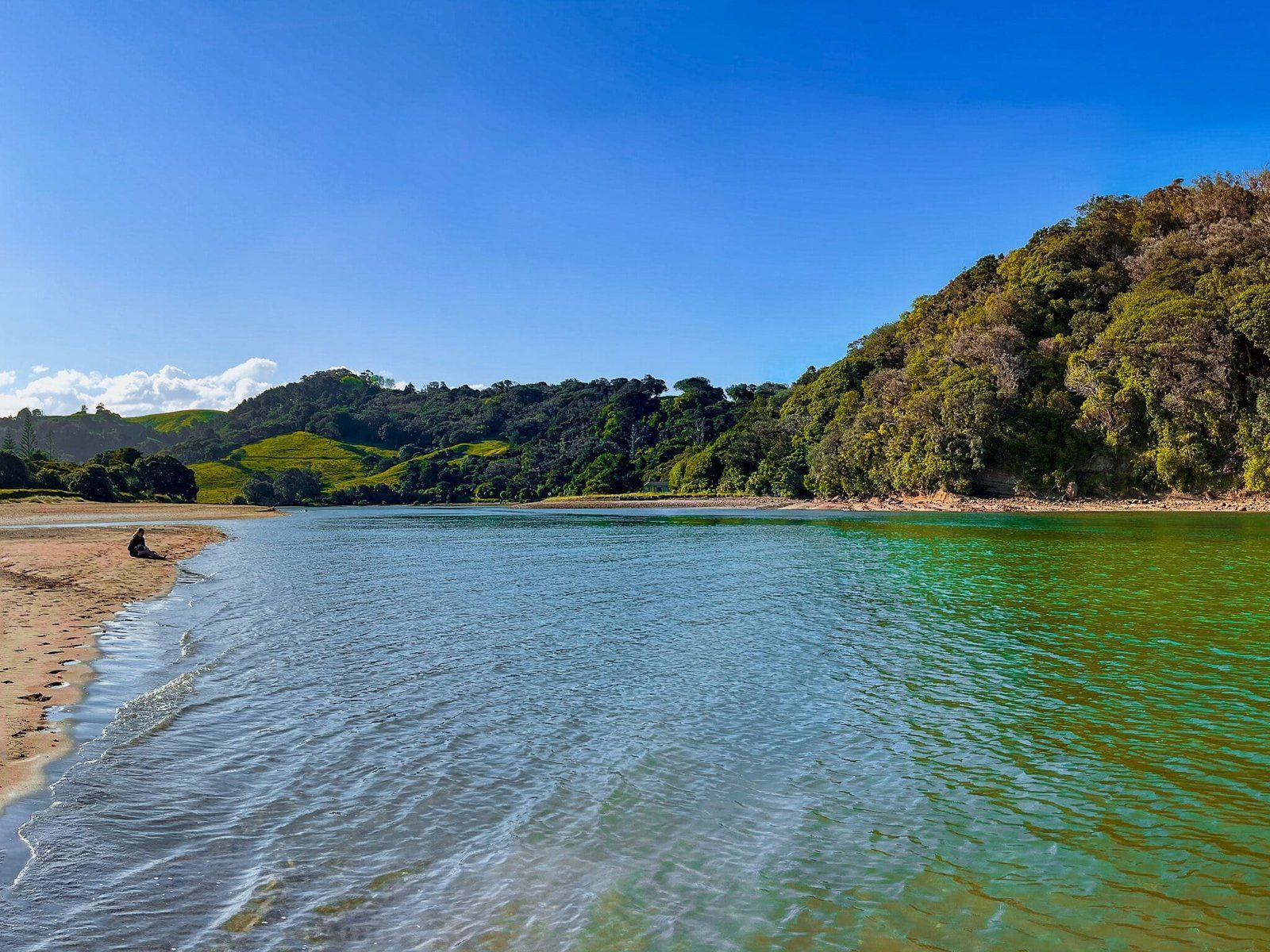
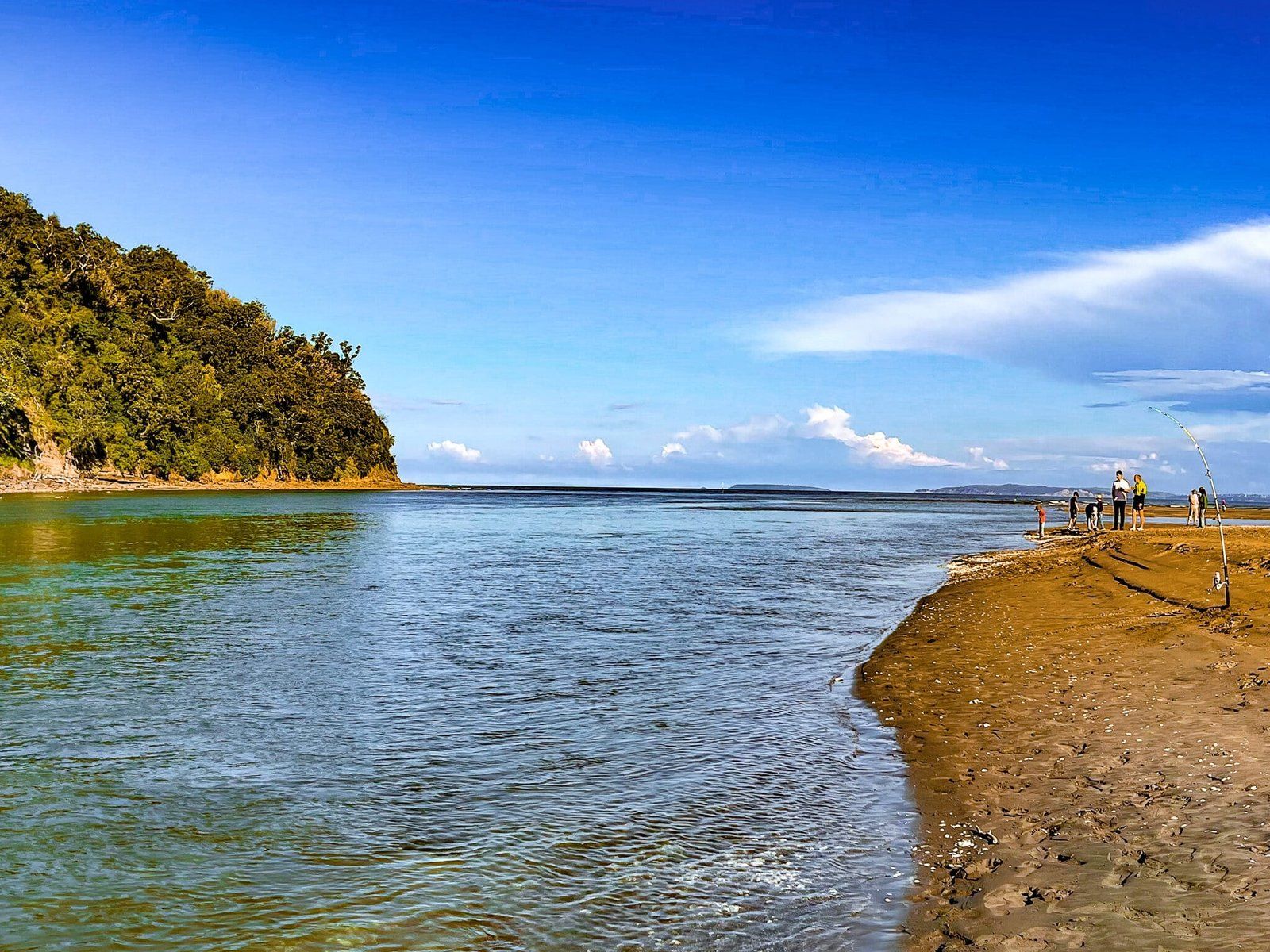
Puhoi Rivermouth
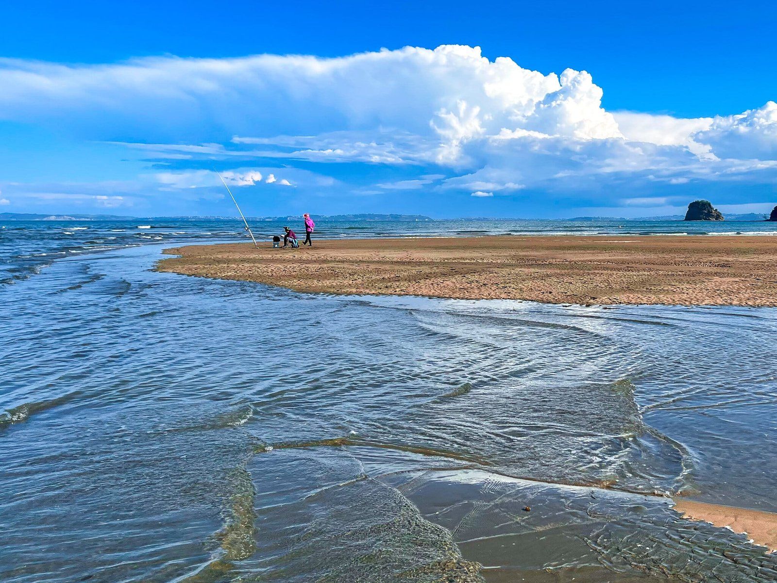
The Puhoi River mouth is at the north end of Wenderholm Beach, marking the end of Te Akeake spit. There is a nice narrow section of beach along the edge of the river and you are likely to see people fishing there.
Note that it is not a safe place to swim, with strong tides and a relatively deep channel, but it is very photogenic.
Want more Trip Ideas?
Check out our blogs on Northeast Auckland Part 1, the North Shore Coastal Walk Part 5, and Long Bay Regional Park.