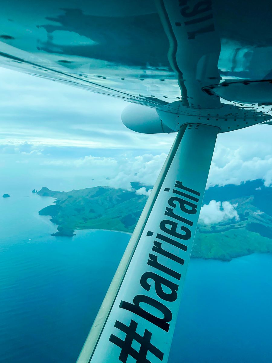
Aotea Great Barrier Island is located in the outer Hauraki Gulf, approximately 100 km northeast of Downtown Auckland, New Zealand. It is the sixth-largest island in New Zealand, covering an area of 285 square km. text, at 627 meters, is the highest point. The island is just a 30-minute flight from Auckland.
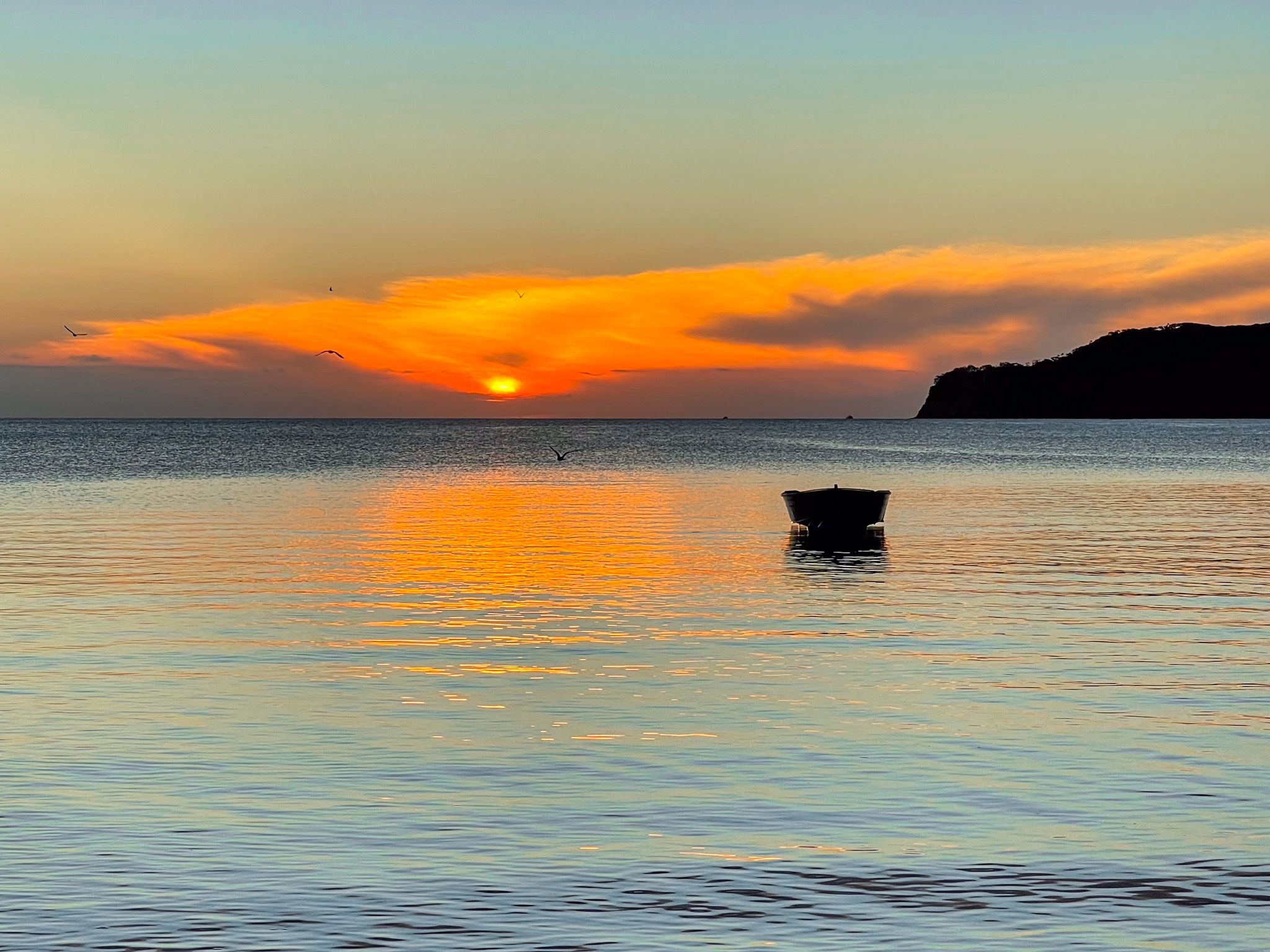
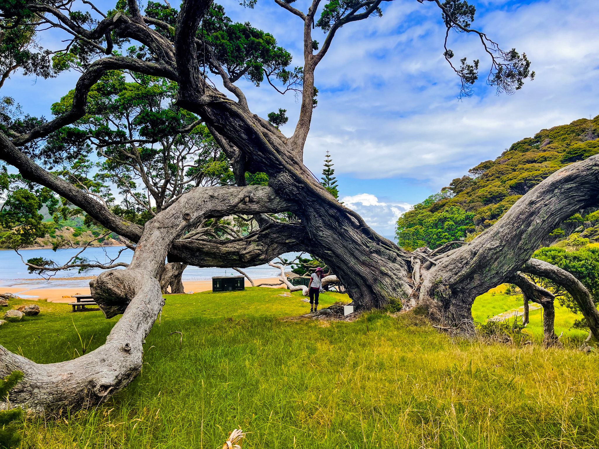
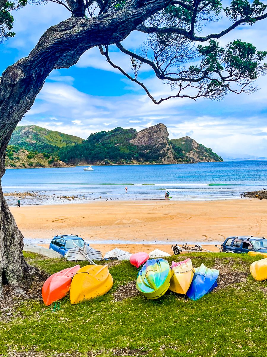
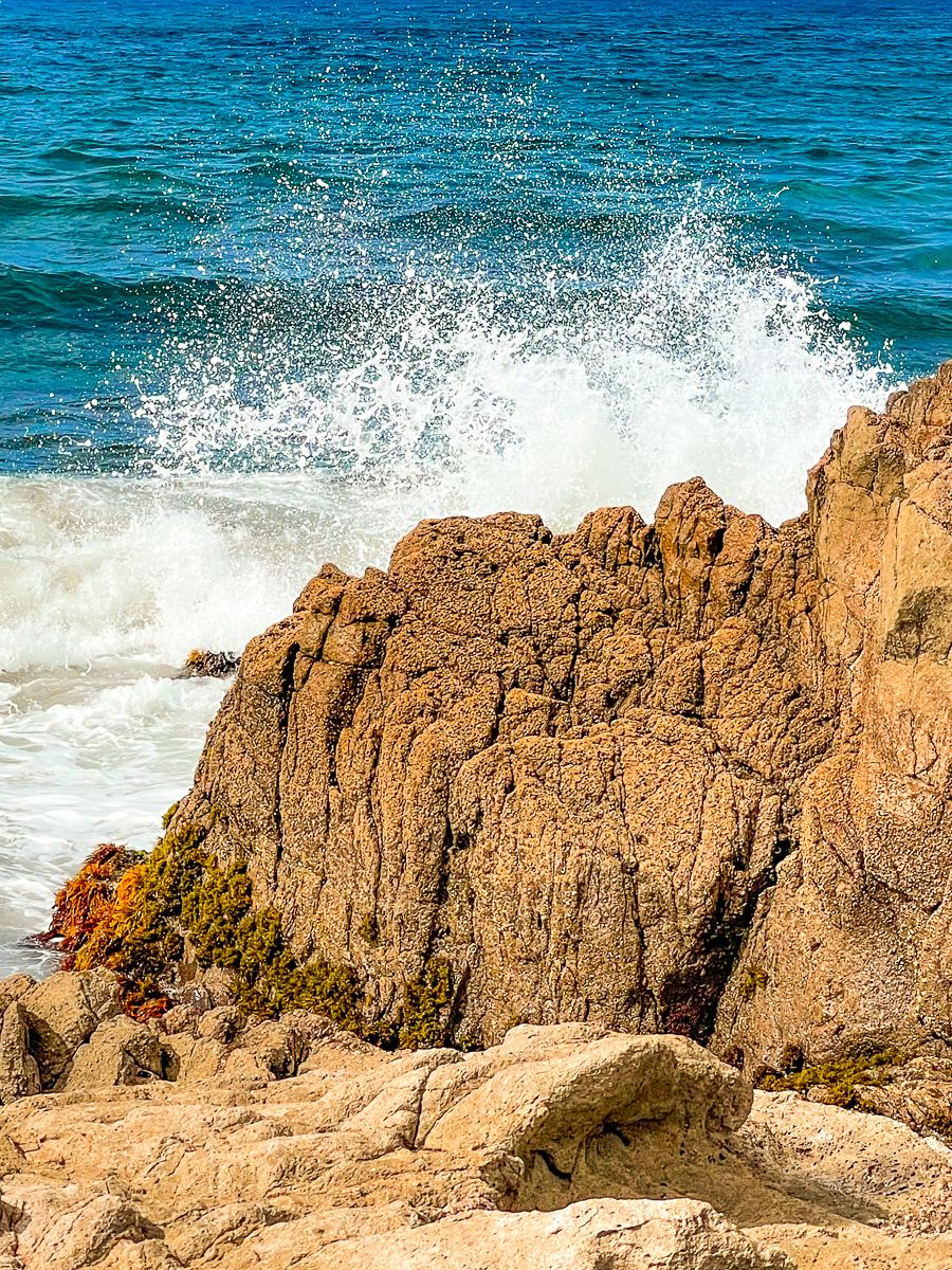
The island offers beautiful hikes, stunning beaches, forests, native birds, and hot pools and is home to just 900 full-time residents. Accommodation options range from DOC campsites to high-end lodges. The only minor challenge is food. There are cafes and restaurants, but hours can be idiosyncratic, and it pays to plan. There are houses scattered around the harbours, a couple of shops, several eating places in Claris, Tryphena and Port Fitzroy, and a restaurant in Whangaparapara. A visit to the island can be likened to life in much of NZ decades ago.
The easiest way to reach Aotea is by plane from Auckland Airport or the Aeroclub facility at Dairy Flat (North Shore) to Claris. Alternatively, you can take a vehicle on the Sea Links ferry from the Wynyard Quarter in Downtown Auckland to Tryphena on the southwest coast, but the journey takes 4 1/2 hours.
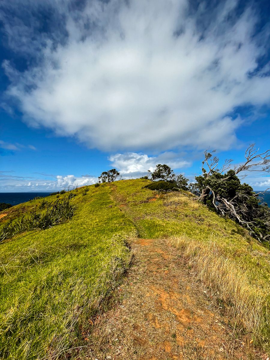
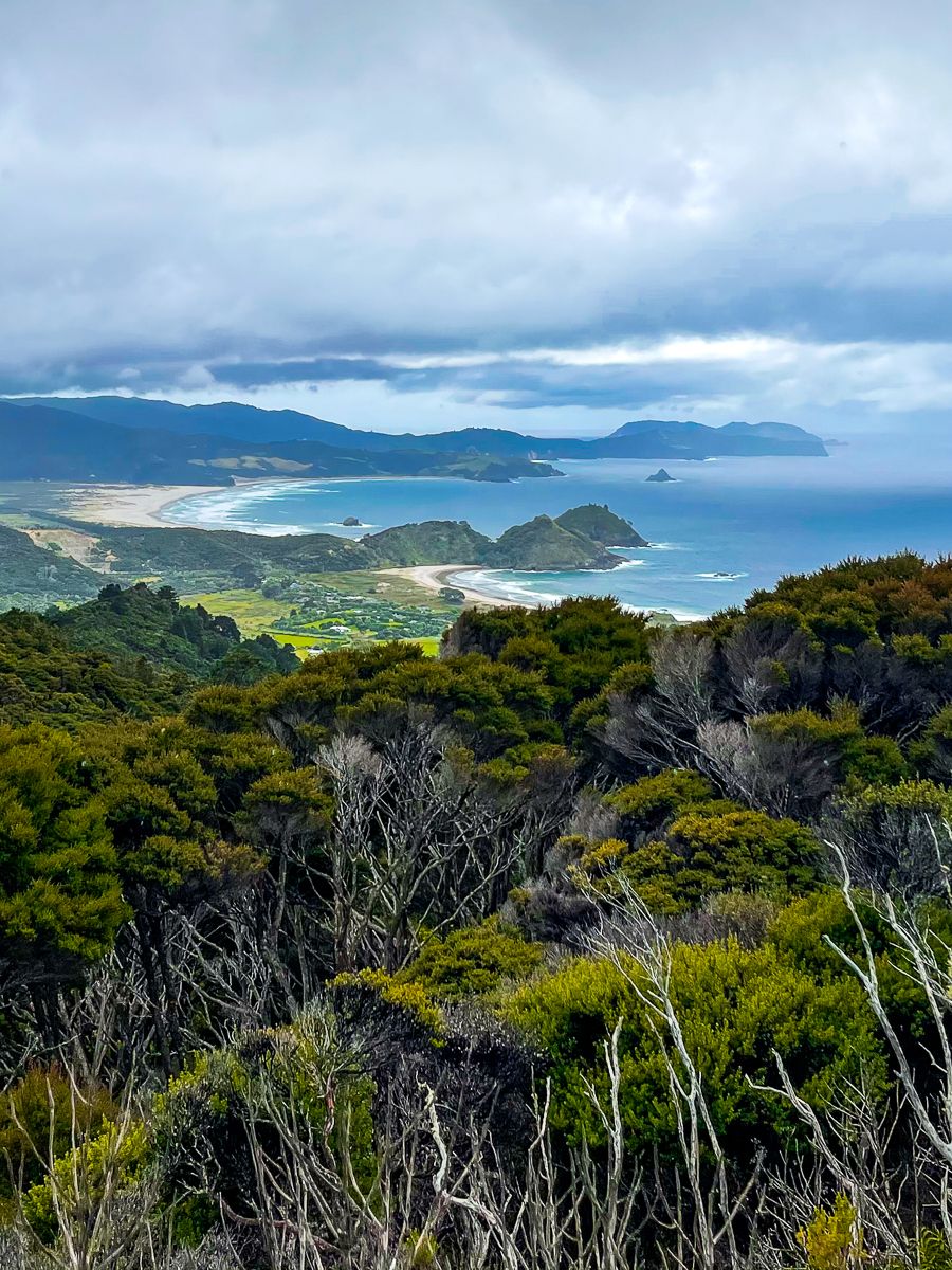
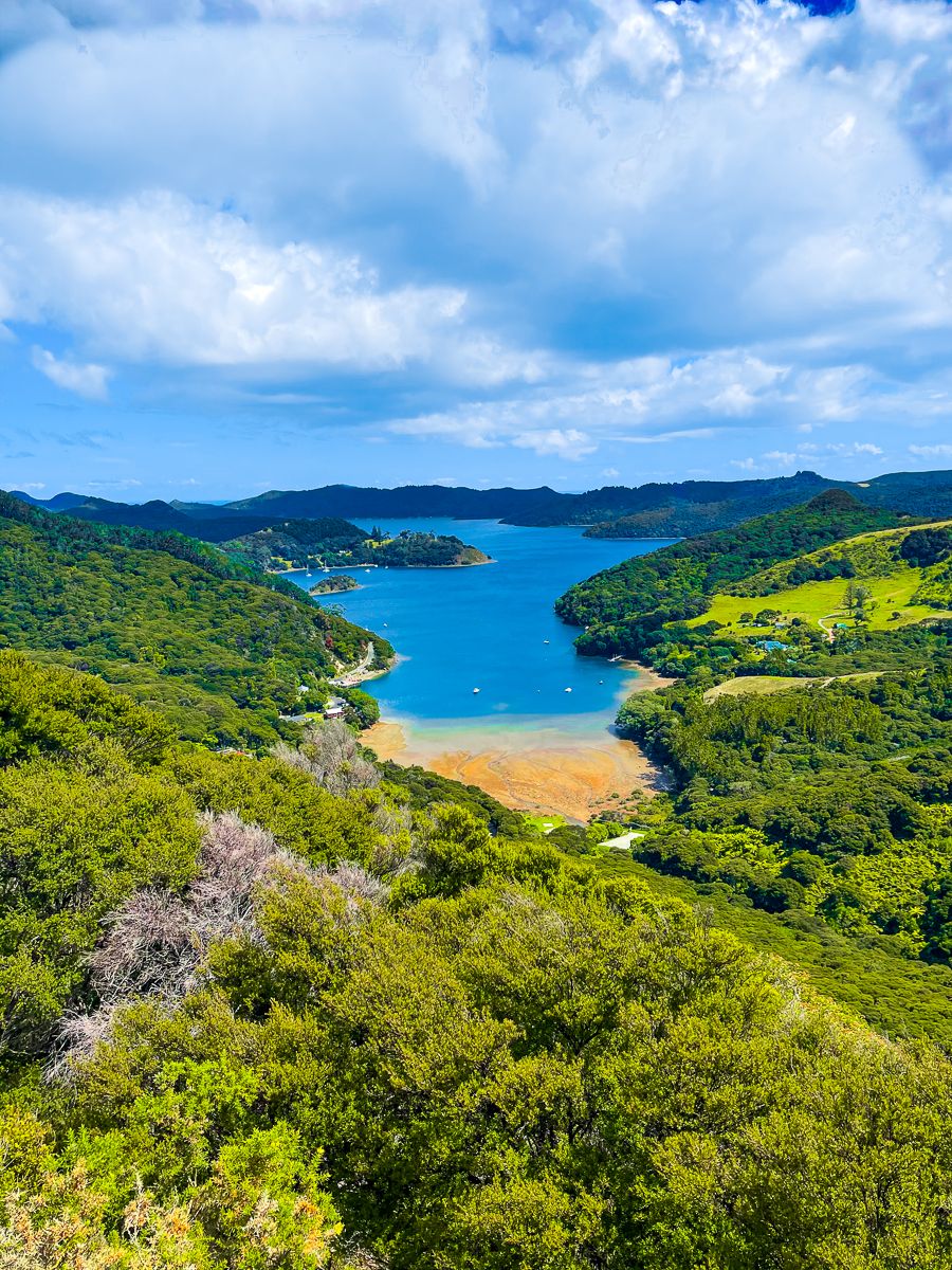
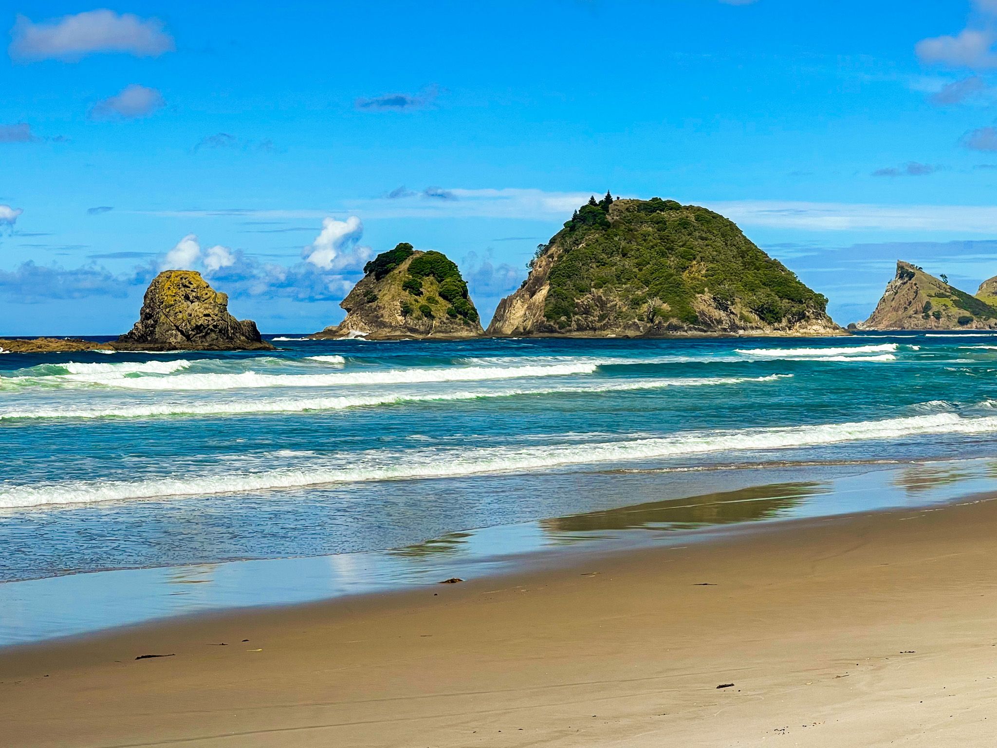
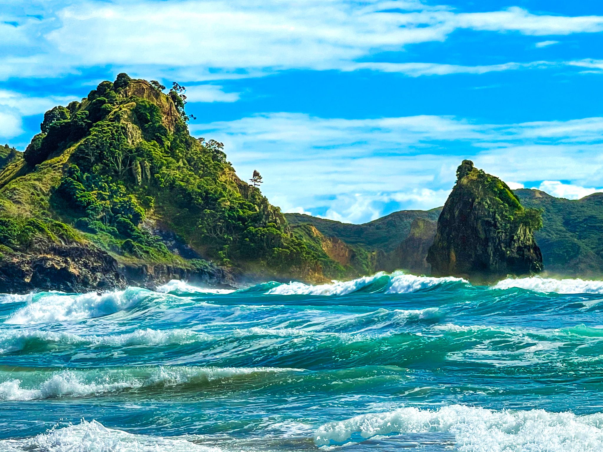
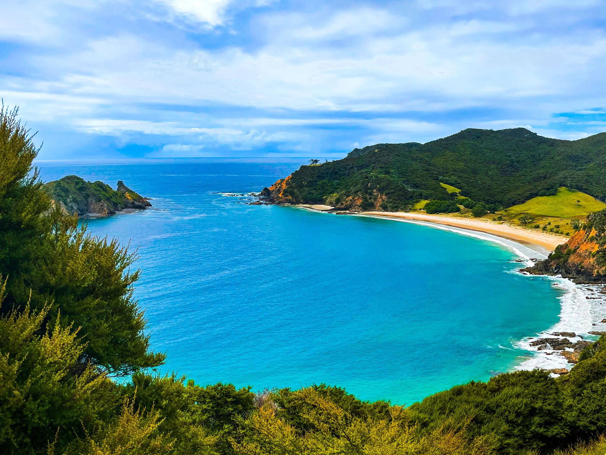
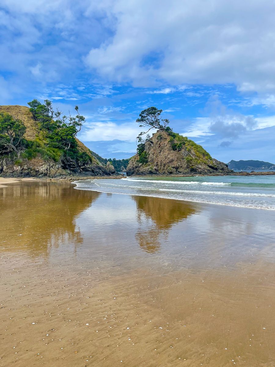
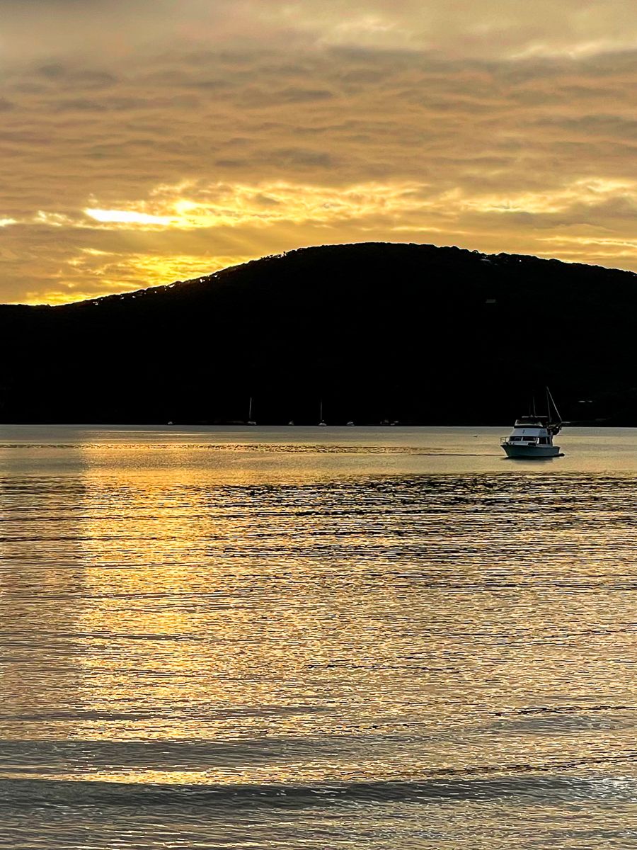
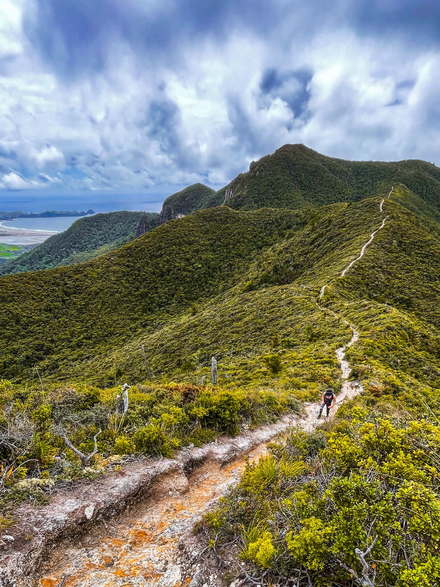
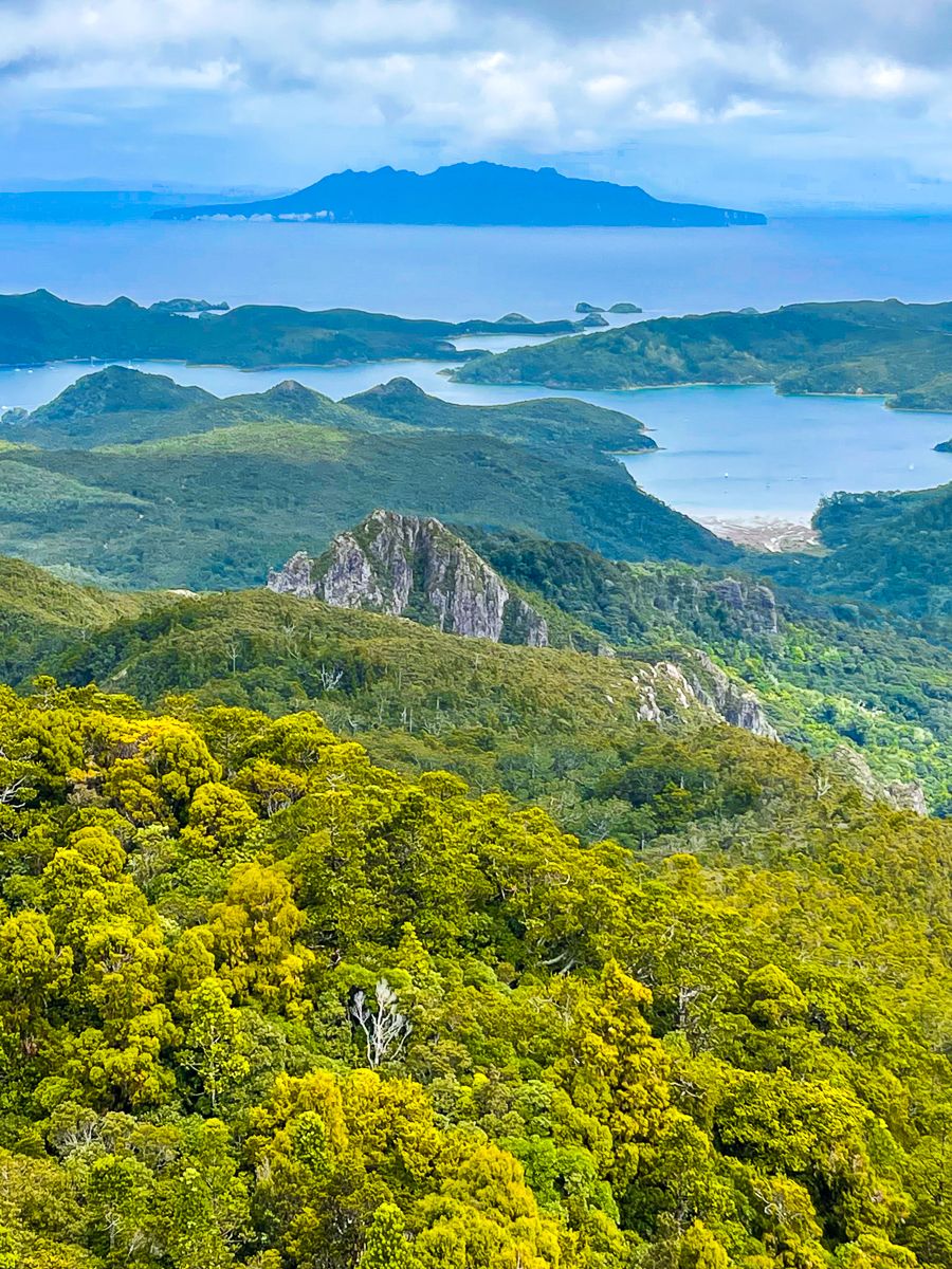
Upon arrival, rent a car or an electric bike if the weather is good. There are no buses on the island. The island can be mentally divided into three parts. Beautiful Hauraki Gulf-facing tidal bays and harbours such as Whangaparapara, Okupu Blind Bay and Tryphena dominate the west coast. The east coast faces the Pacific Ocean and is dominated by stunning sandy surf beaches, such as Medlands, Kaitoke, Awana Bay, Harataonga Bay and Whangapoua. The central area is rugged, ancient, eroded volcano cores and forest regrowth, with various hiking tracks. It resembles the Coromandel Peninsula, formed from the 18 million-year-old Coromandel Volcanic Zone remnants. It was linked to Coromandel for most of this time, but the land bridge was flooded at the end of the last ice age.

The Māori name for the island is Aotea (white cloud). Ngāti Rehua has inhabited Aotea since the 17th century, after conquering it from people of Ngāti Manaia and Kawerau descent. In the mid-1800s, private and crown land purchases left only 3,510 acres at Katherine Bay in iwi control.
The island received its English name from Captain Cook because it acts as a barrier between the waves and the currents of the South Pacific Gyre and the Hauraki Gulf. Entrance to the gulf is via channels on each side of the island. Colville Channel separates the southernmost point, Cape Barrier, from the northern tip of the Coromandel Peninsula. Cradock Channel separates Aotea from the smaller Little Barrier Island to the west.
For early Europeans, Aotea was an economic opportunity. Copper was discovered and mined, followed by gold and silver in the late 1800s. Traces of these mining activities can still be found in the region. This was followed by kauri logging until the mid-1900s. Kauri logs were moved to nearby streams and swept to the sea through wooden dams, leading to significant deforestation.
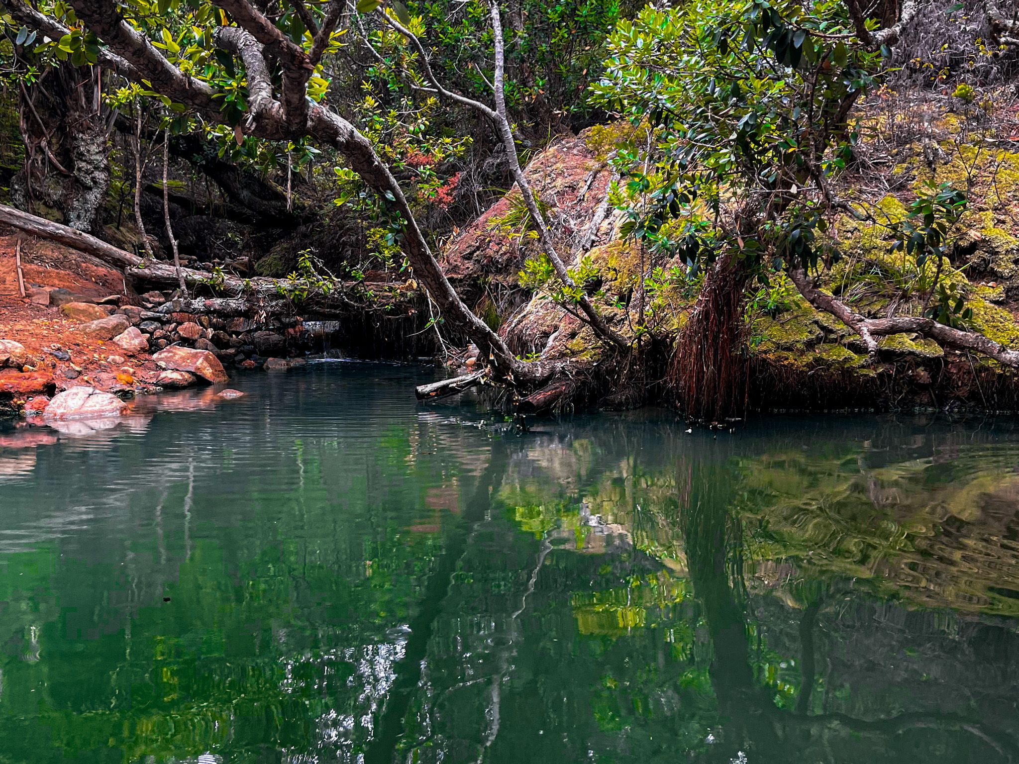
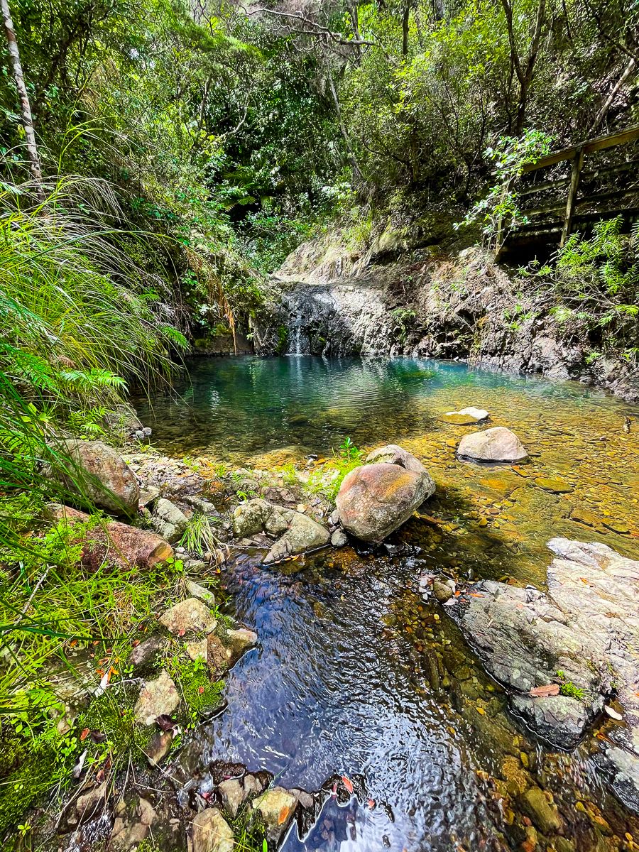
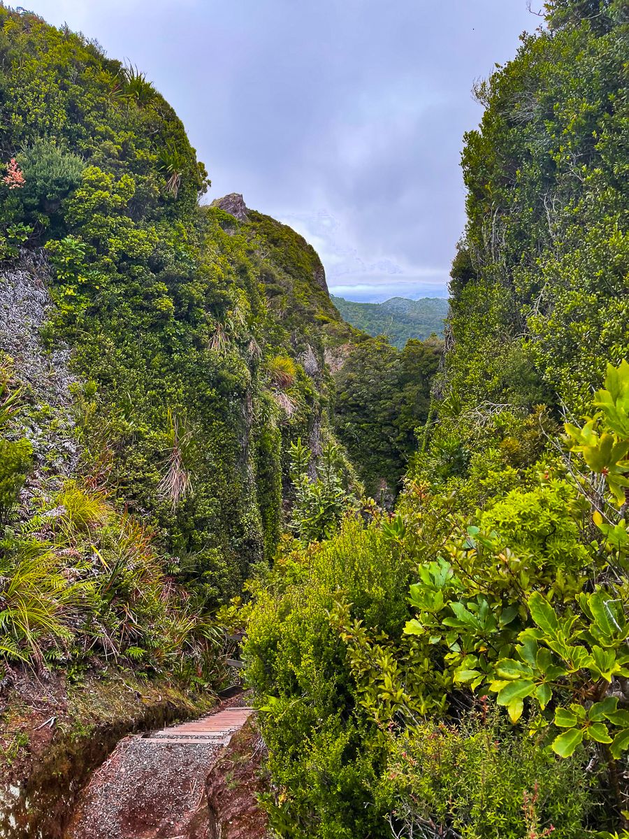
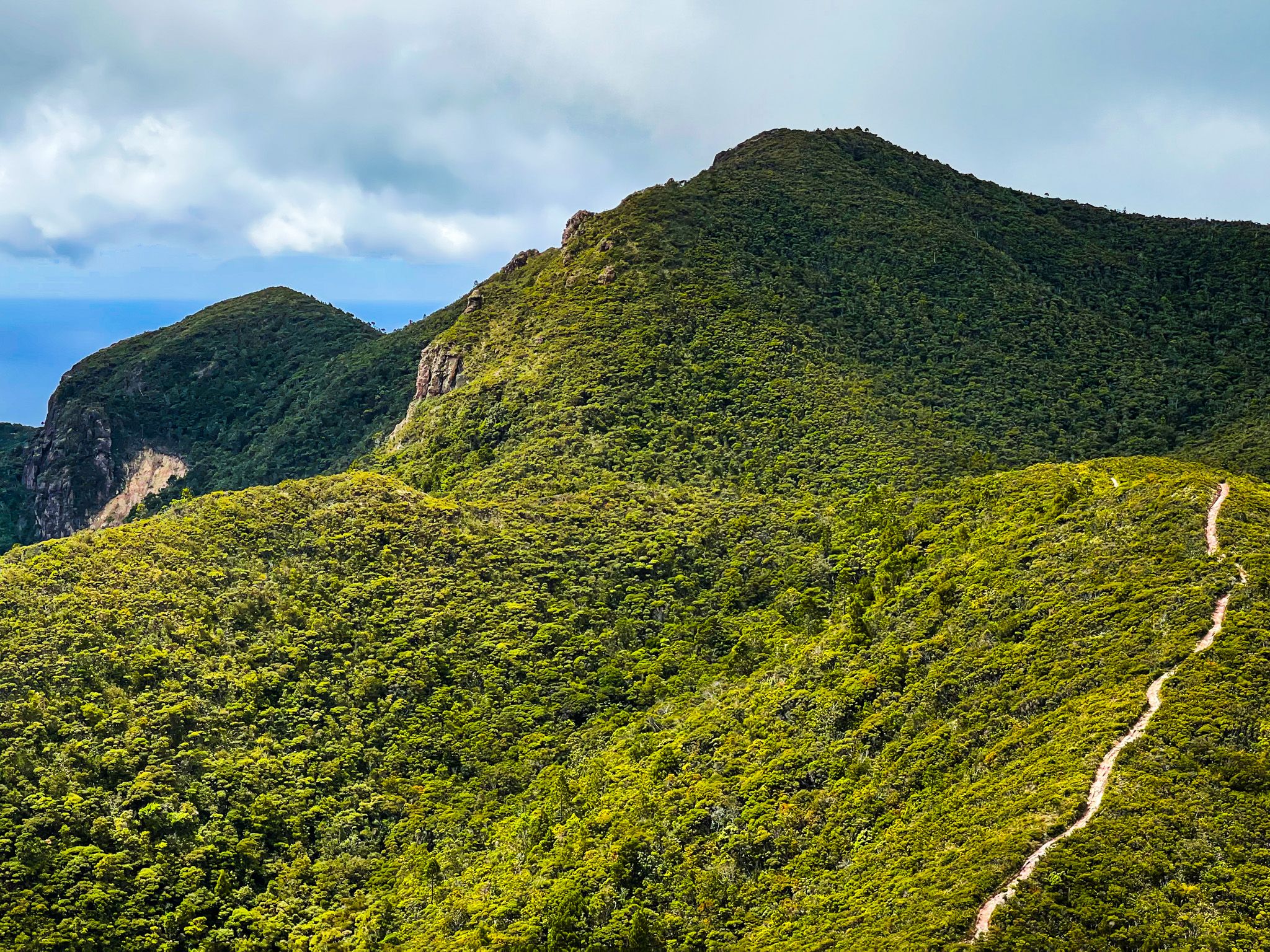
Over time, a large part of the island was taken over by DOC, resulting in the Aotea Conservation Park, which makes up 60% of the island. Kauri seedlings were extensively replanted in the 1970s and 1980s. The island is free of some introduced pests, especially possums, mustelids, deer and goats, making it a haven for native birds and plants. Rare birds include brown teal ducks, black petrel seabirds, and kākā. The park has various walking tracks, including the superb Windy Canyon, walks to the top of Hirakimata, and the Kaitoke Hotsprings. The Aotea Track is the only multi-day wilderness walk in the Auckland region, with two DOC huts. There are also campsites in Whangapoua, Harataonga, Awana, Melands, Whangaparapara and Akapoua.
In addition, in 2017, the International Dark Sky Association recognised Aotea as a Dark Sky Sanctuary. It was third in receiving the designation and was the first island sanctuary.