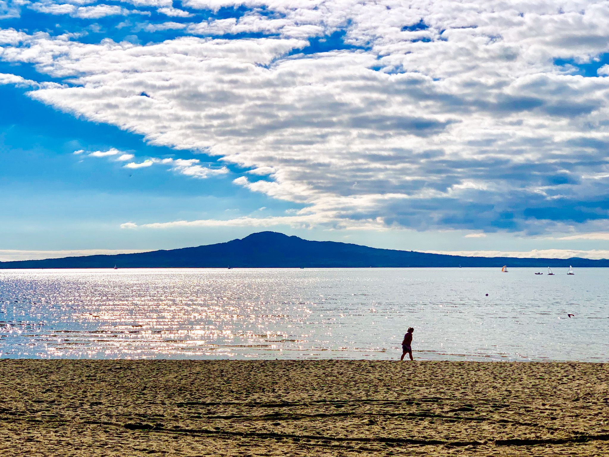
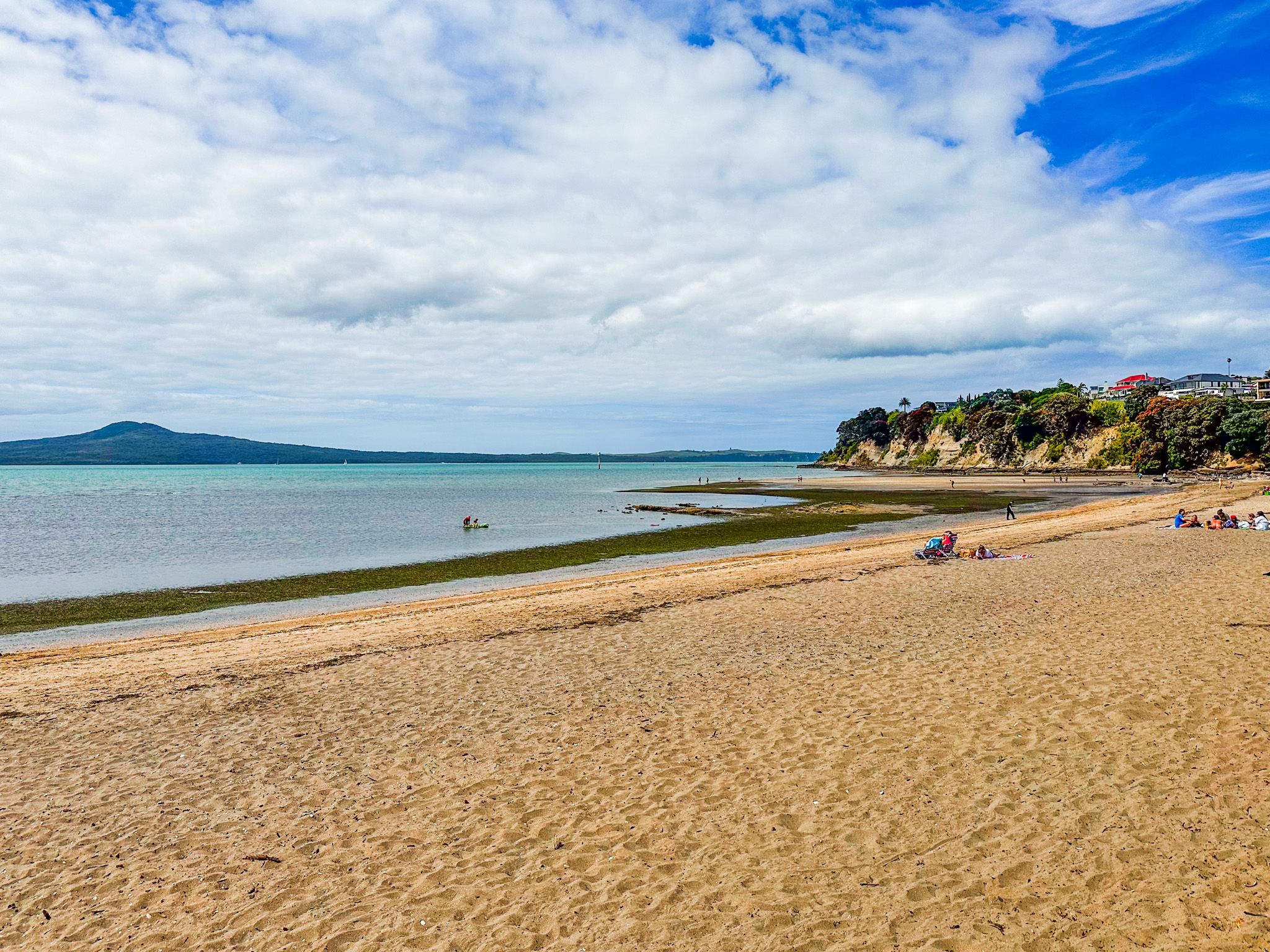
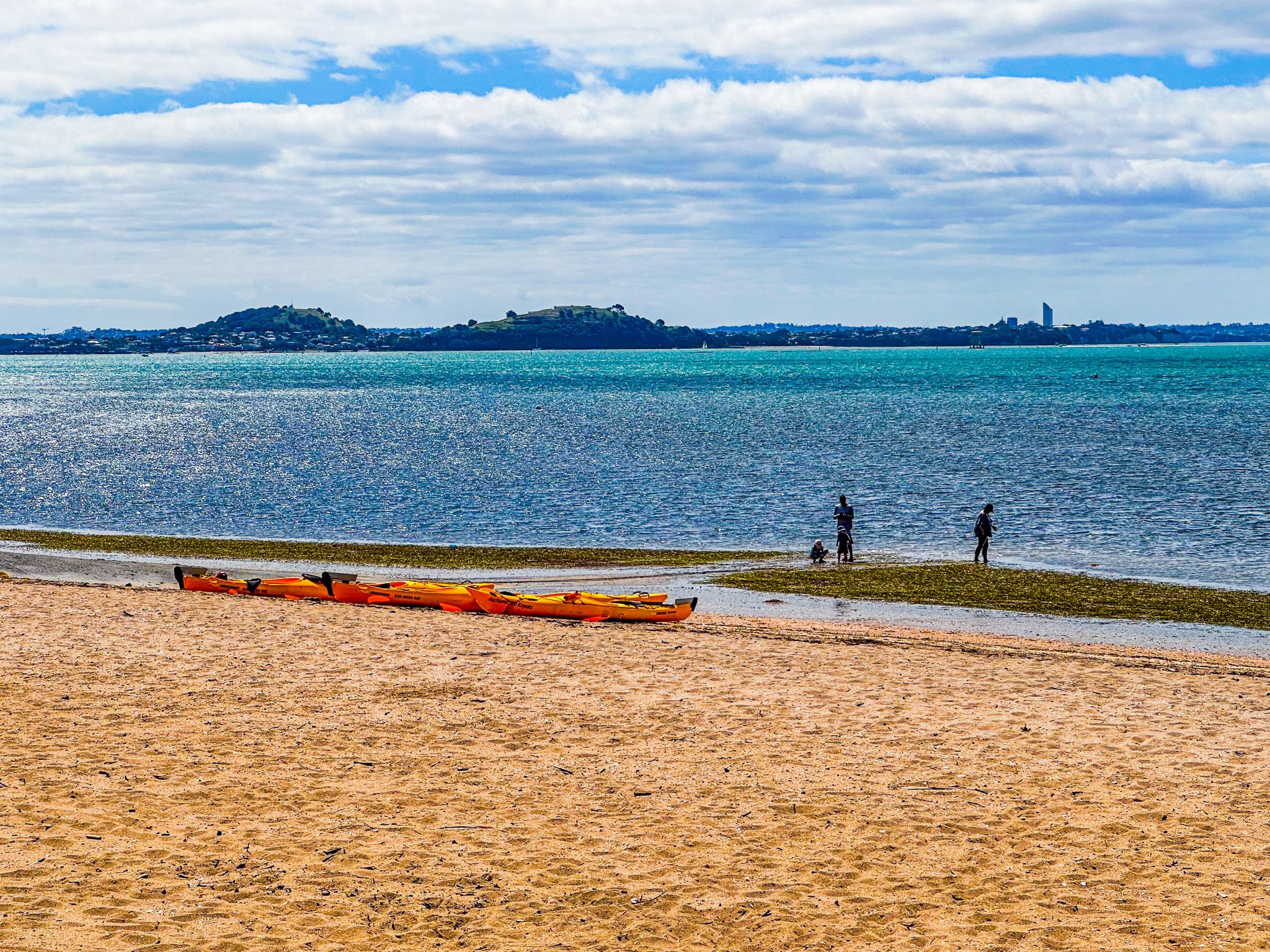
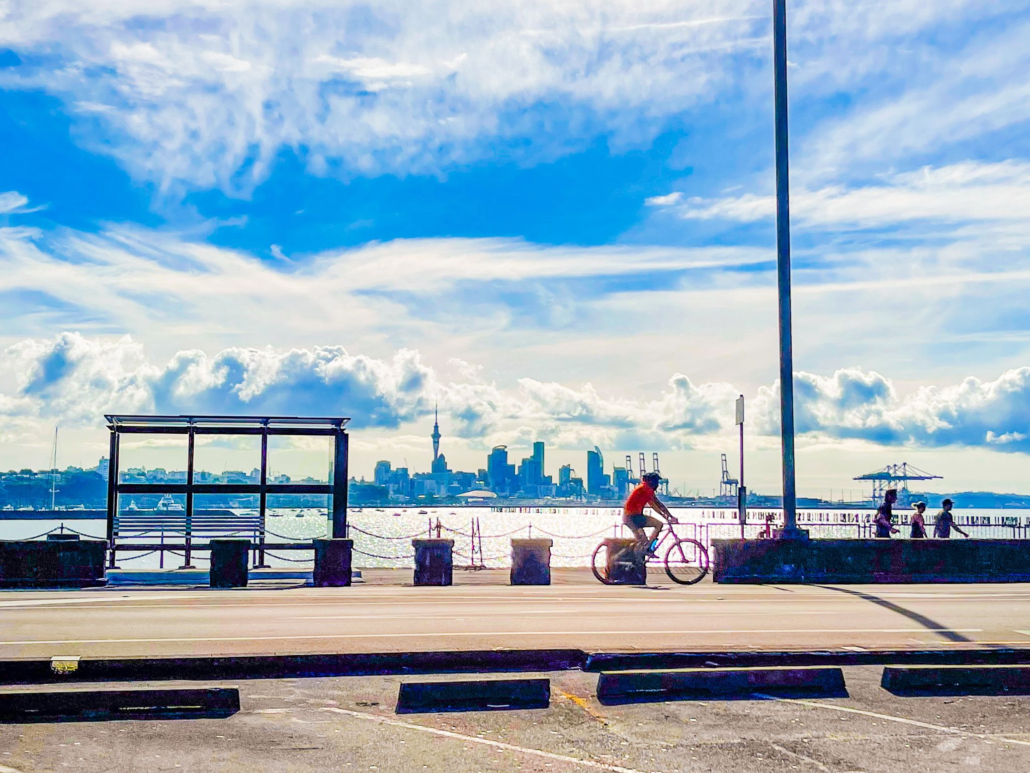
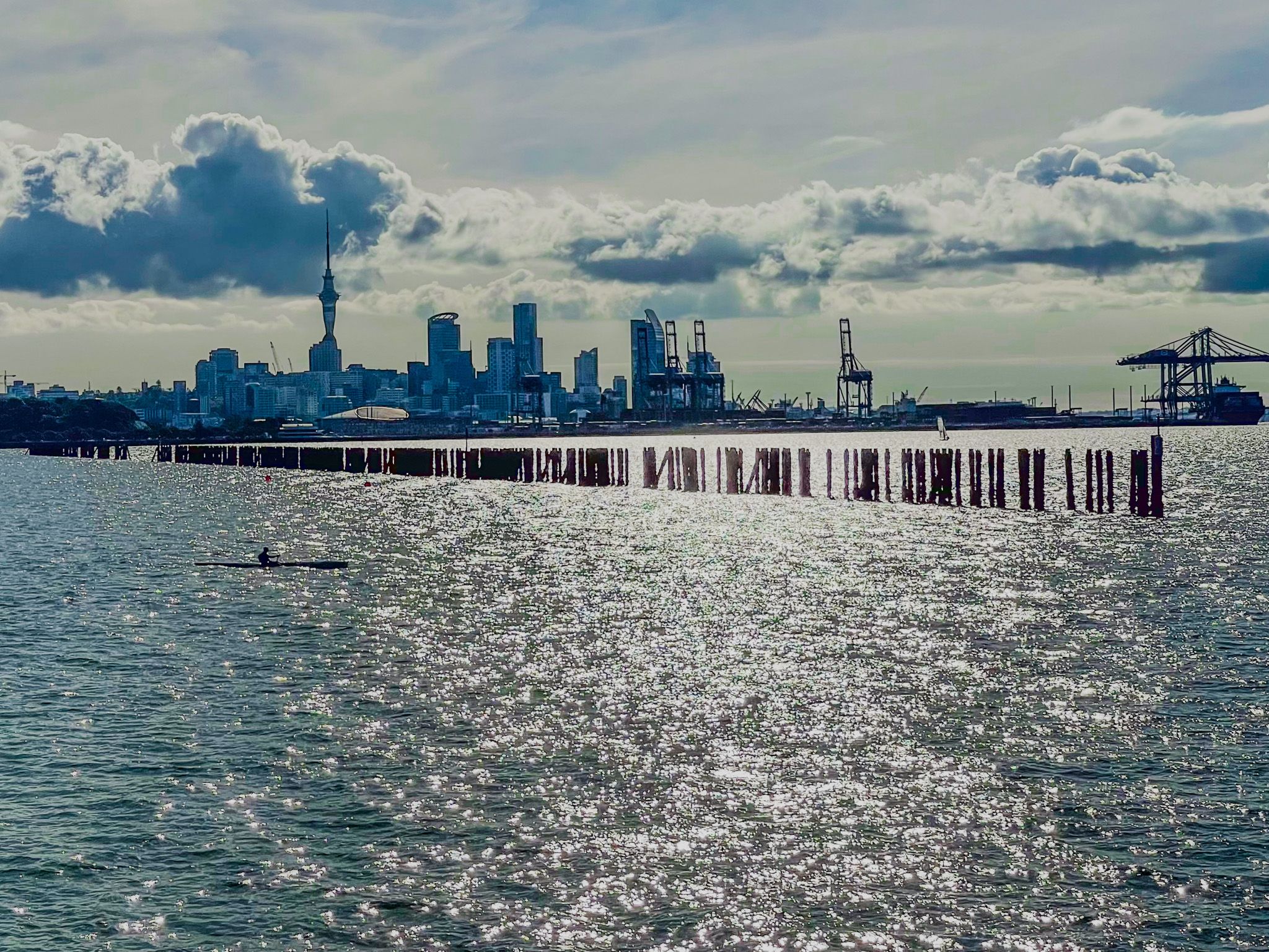
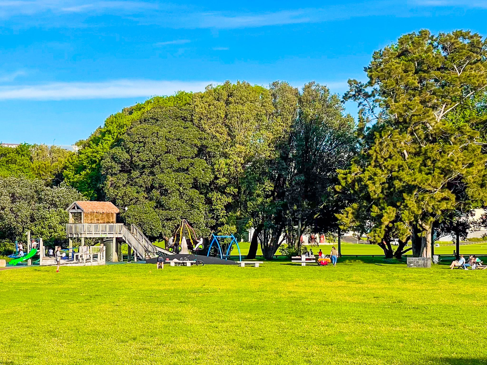
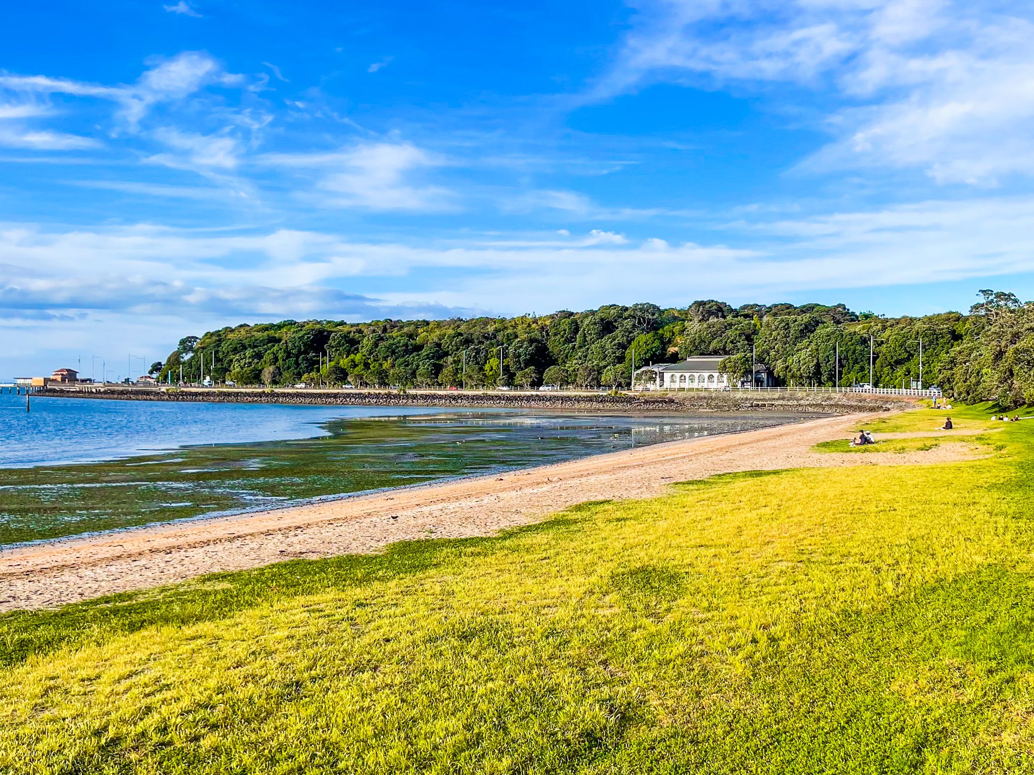
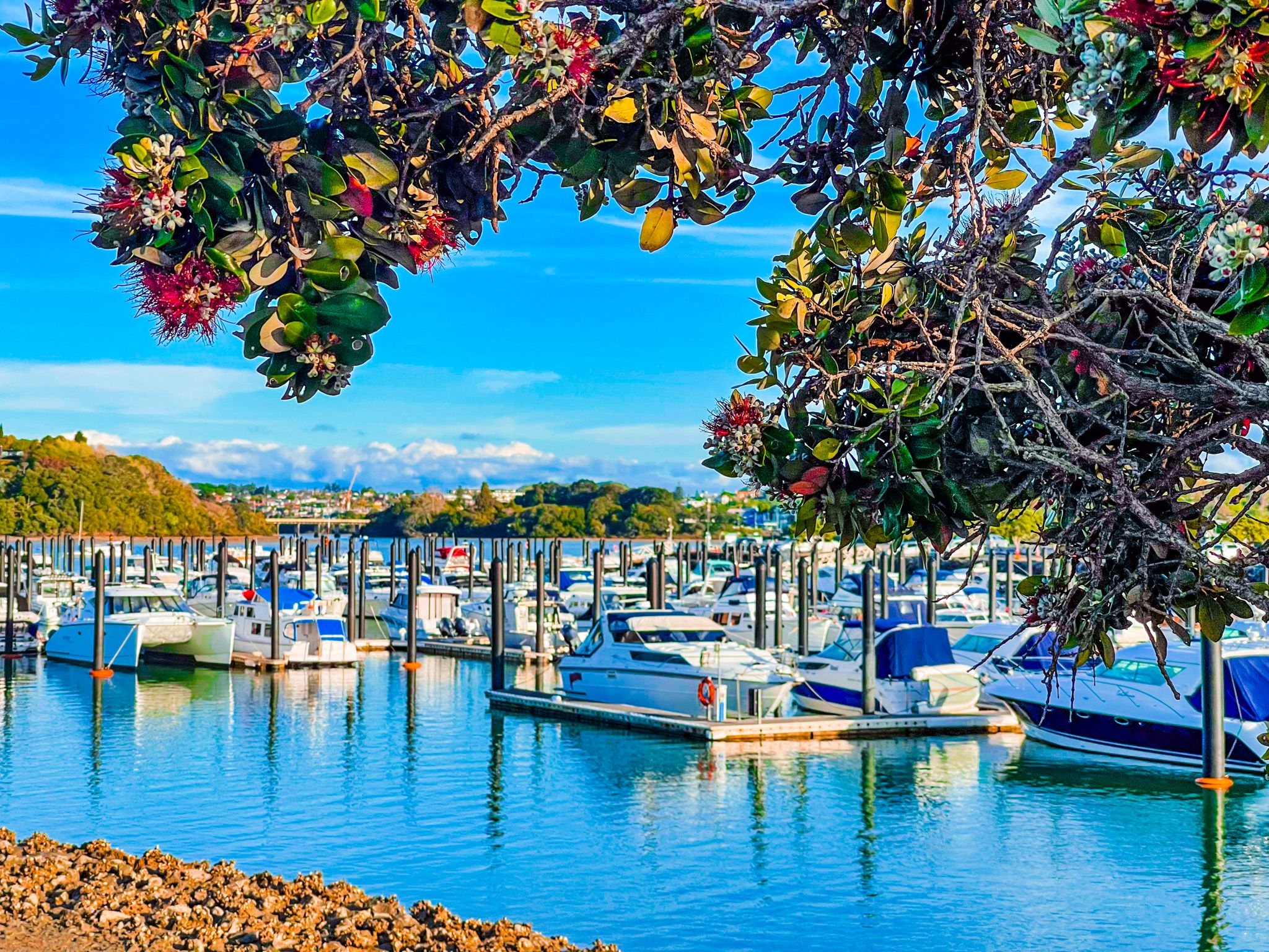
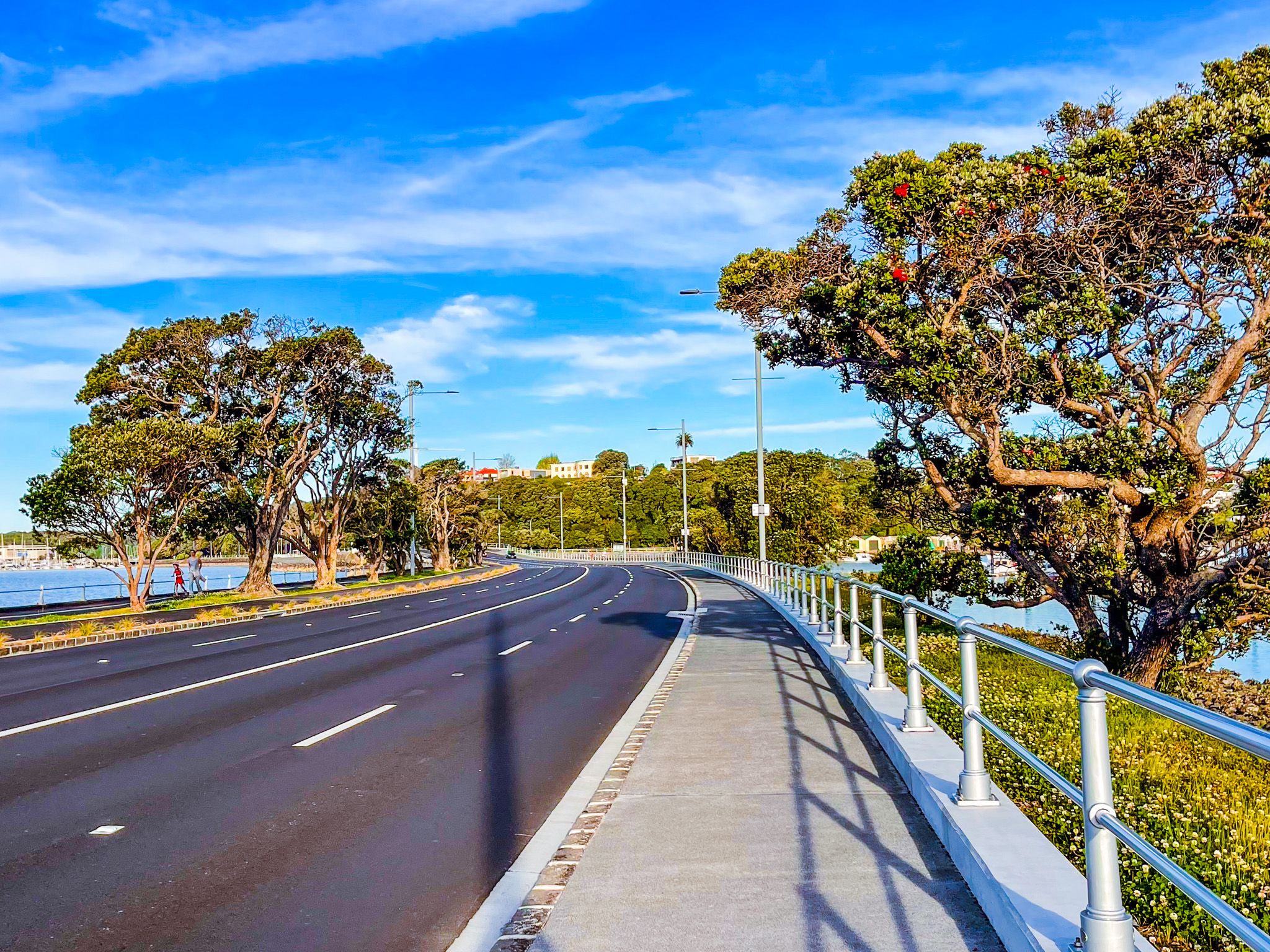
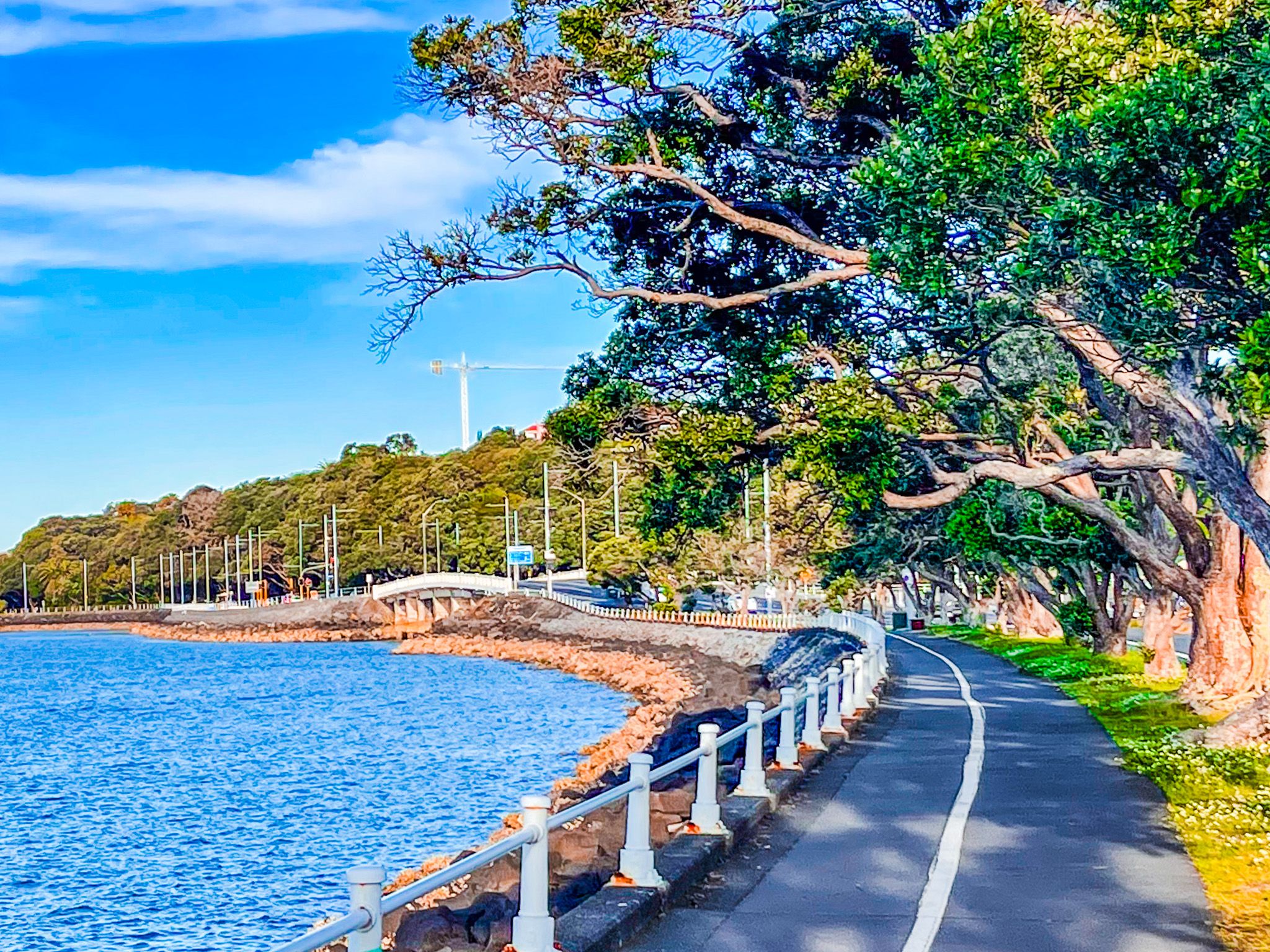
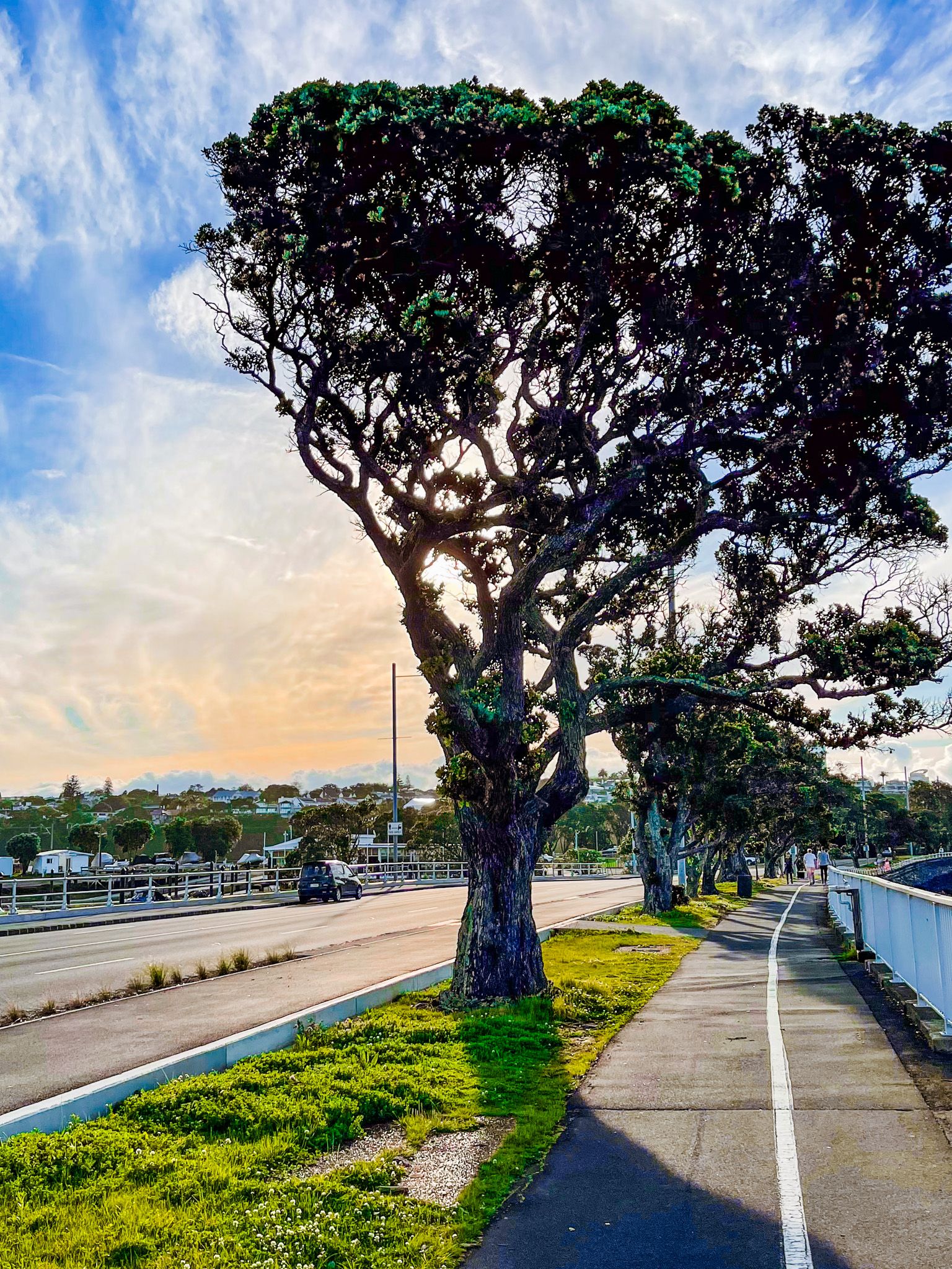
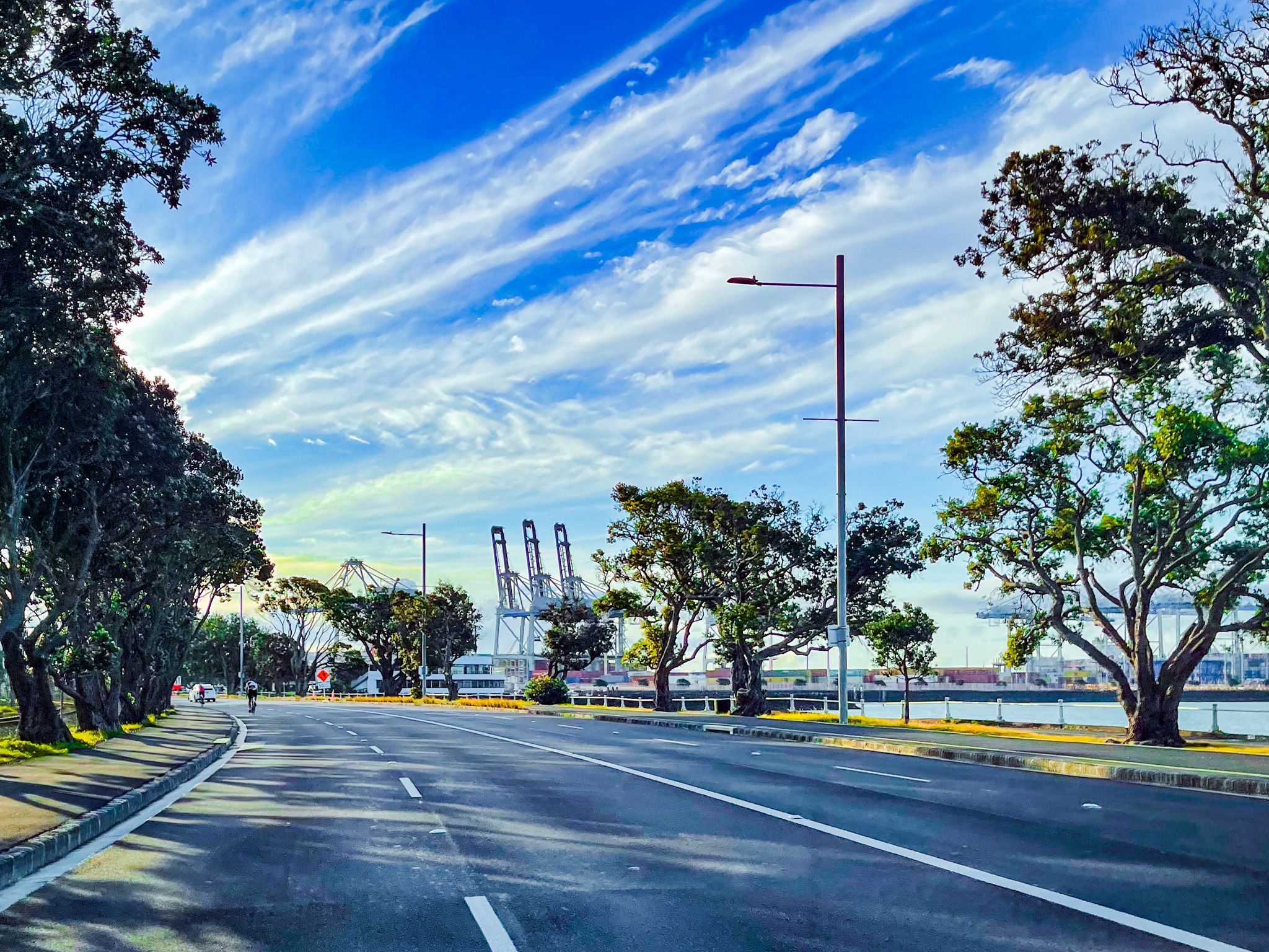
Tamaki Drive is a 9.6 km road and shared path in that follows the southeast edge of Waitematā Harbour in Auckland. It starts at the Quay Street and The Strand intersection near Downtown, crosses Judges Bay and Hobson Bay on a viaduct, and passes through Okahu Bay, Ōrākei, Mission Bay, and Kohimarama, ending in Saint Heliers. There are several city beaches and parks, as well as significant suburban villages in Mission Bay and St Helliers. From the St Heliers end of the road, you can also take a short walk up to Cliff Road to Achilles Point, with spectacular cliff-top views from the eastern bays to Downtown, Rangitoto, Browns Island / Motukorea and the Hauraki Gulf.
To explore Tamaki Drive, you can drive, take a bus, walk, or use a bike or electric scooter, with dedicated and shared paths along the route. Take your togs, as several beaches generally offer safe swimming options. You can check at Swimsafe for water quality, which can be affected in Summer.
There are many points of interest, including two short deviations from the road to nearby parks. Right at the start of Tamaki Drive, head a short distance south along The Strand, then east up Gladstone Road to Dove Myer Robinson Park, also known as the Parnell Rose Gardens. Spend a few minutes looking for the astonishing giant pohutukawa tree toward the park's north side. Then, walk downhill past small Judges Bay and up Judges Bay Reserve to cute St Stephens Chapel. The park, the bay and the reserve are perfect for a picnic. Head to Resolution Park from the chapel and cross the bridge to the north side of Tamaki Drive, then continue east.
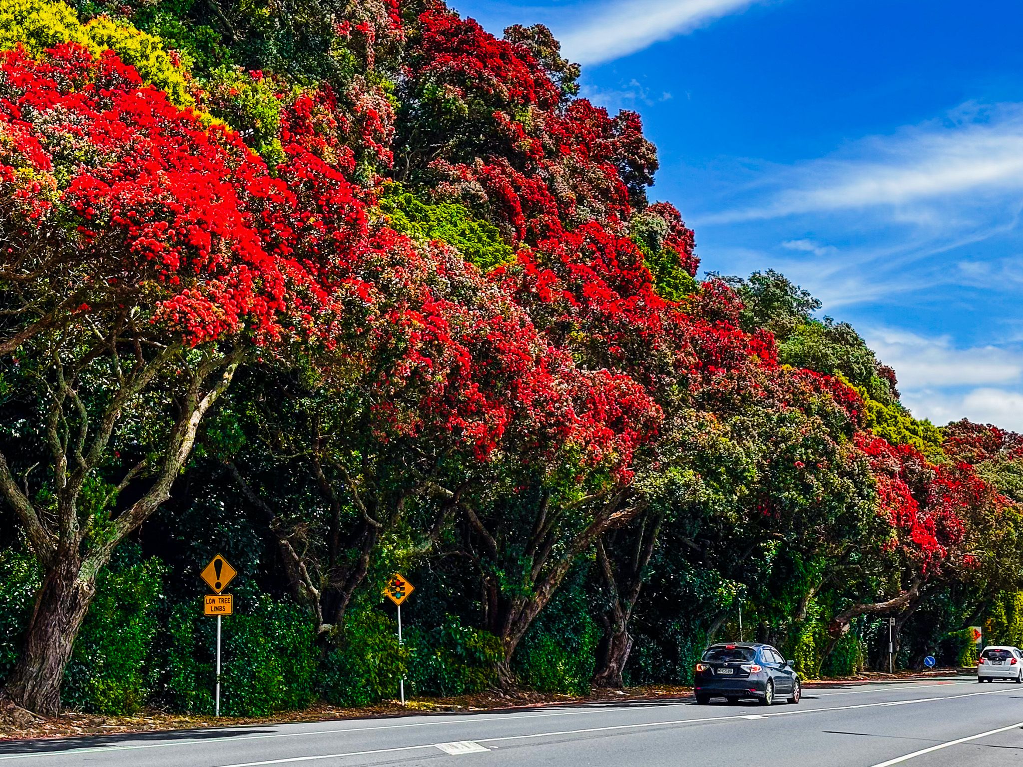
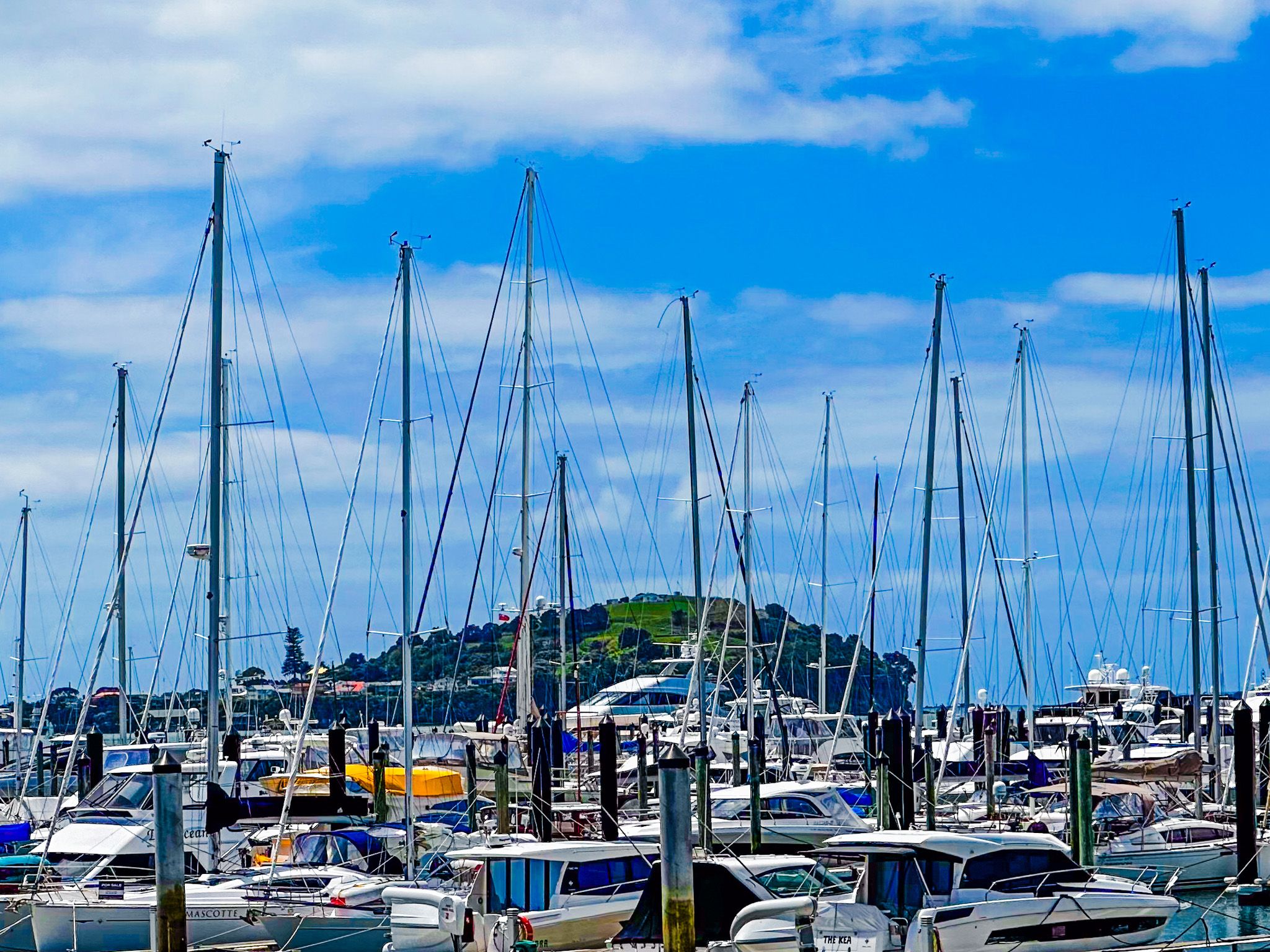
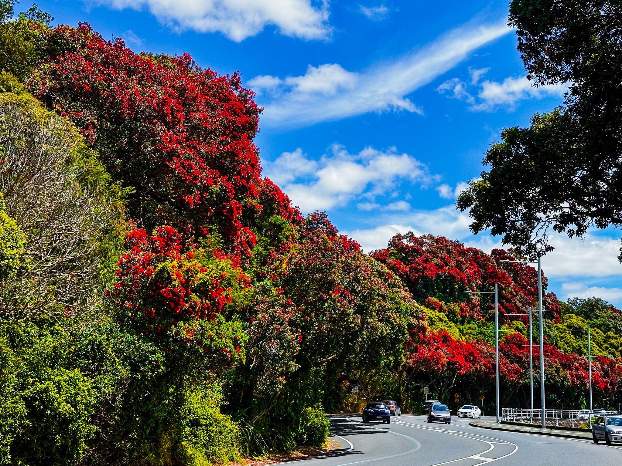
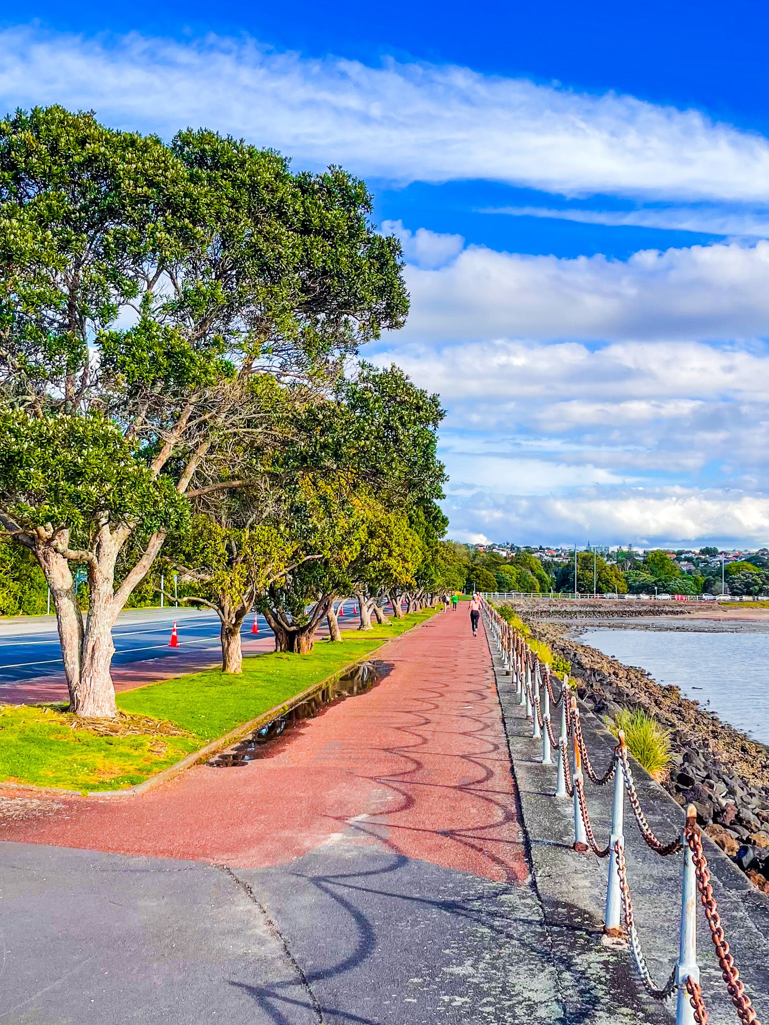
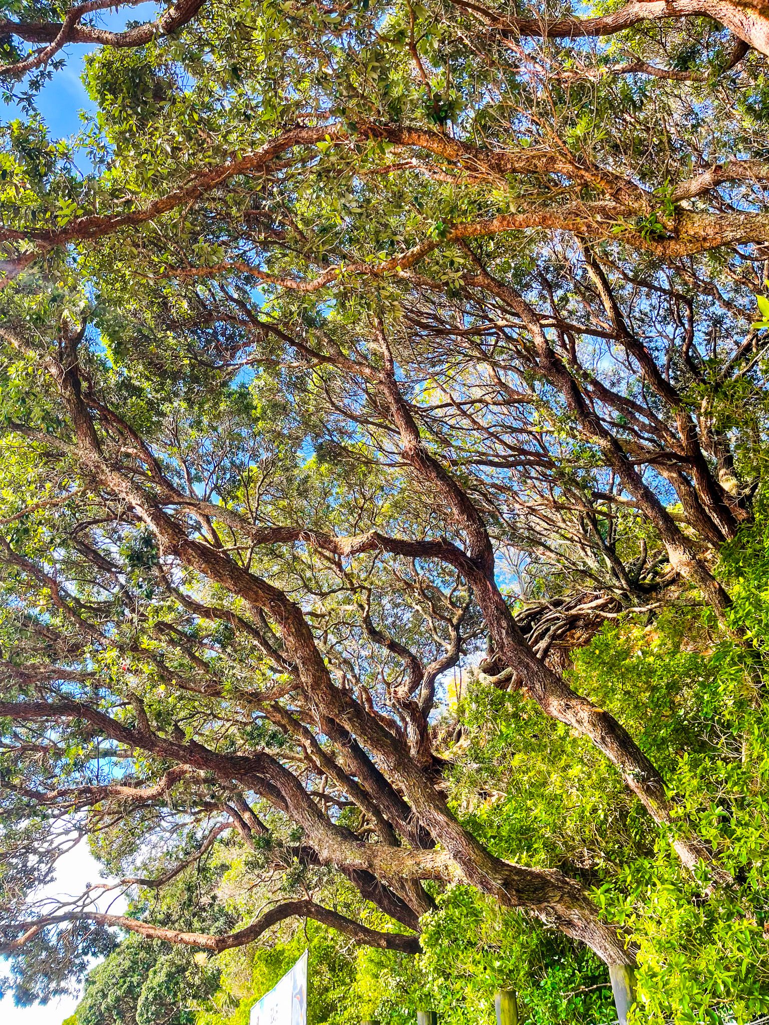
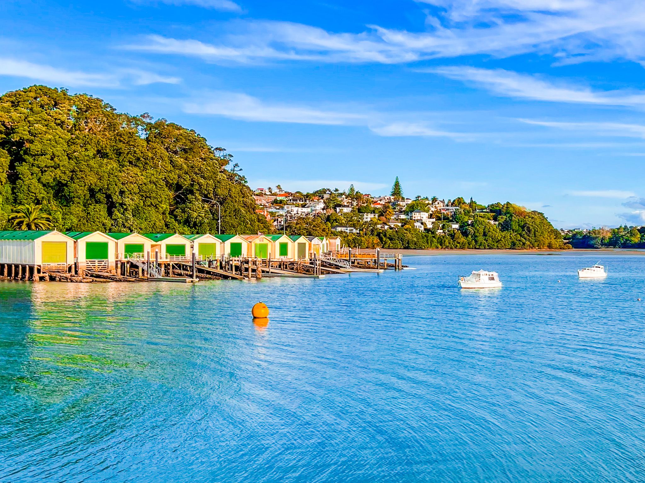
Walking east on the viaduct across Hobson Bay, you will have the Outdoor Boat Club marina on your right and the harbour on your left. You may be tempted to cross over a couple of times! The row of colourful historic boat sheds below the cliff at the east end of the bay is photogenic. Both sides of the viaduct are lined with pōhutukawa trees, as are the cliffs around Hobson Bay.
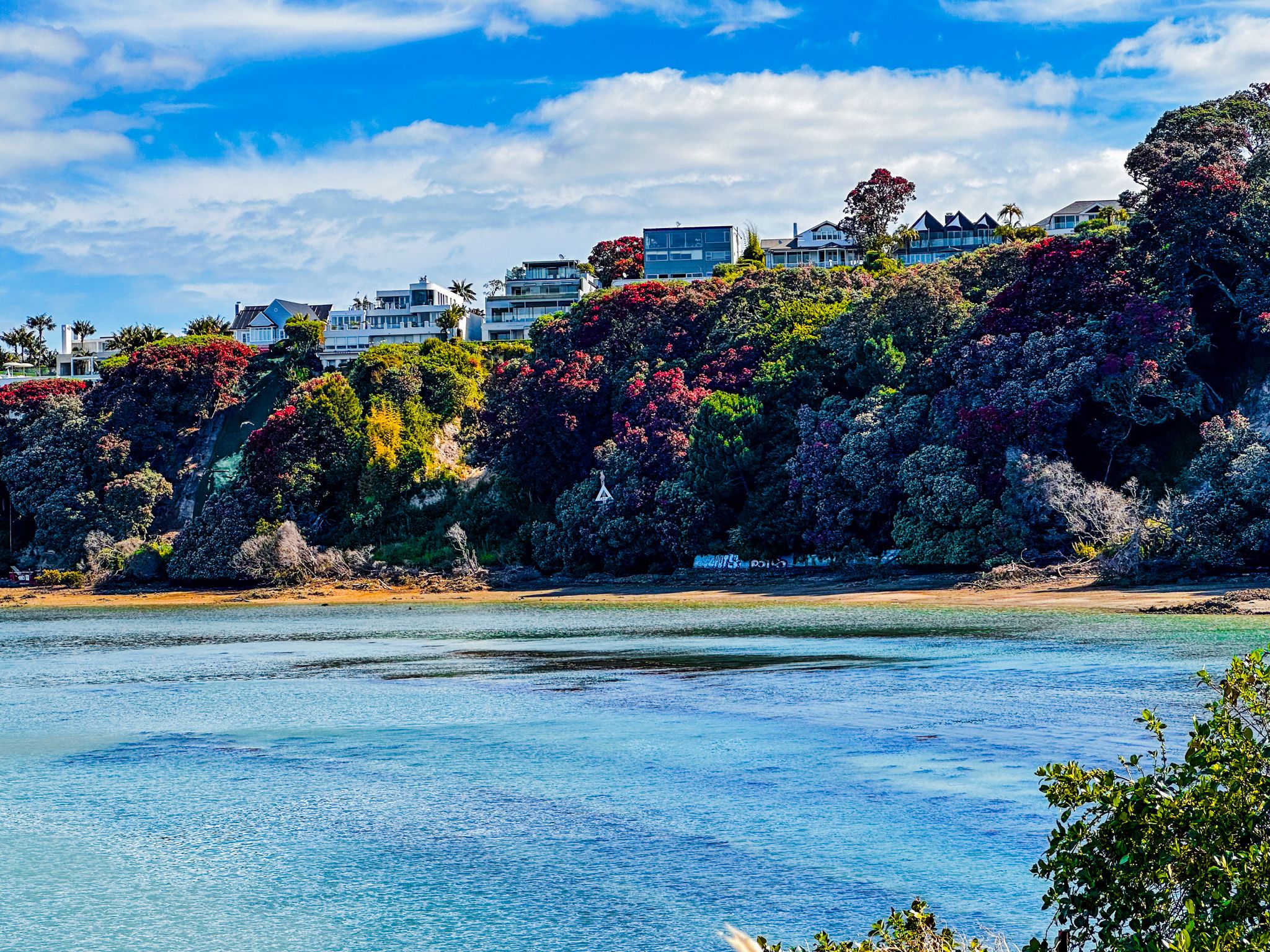
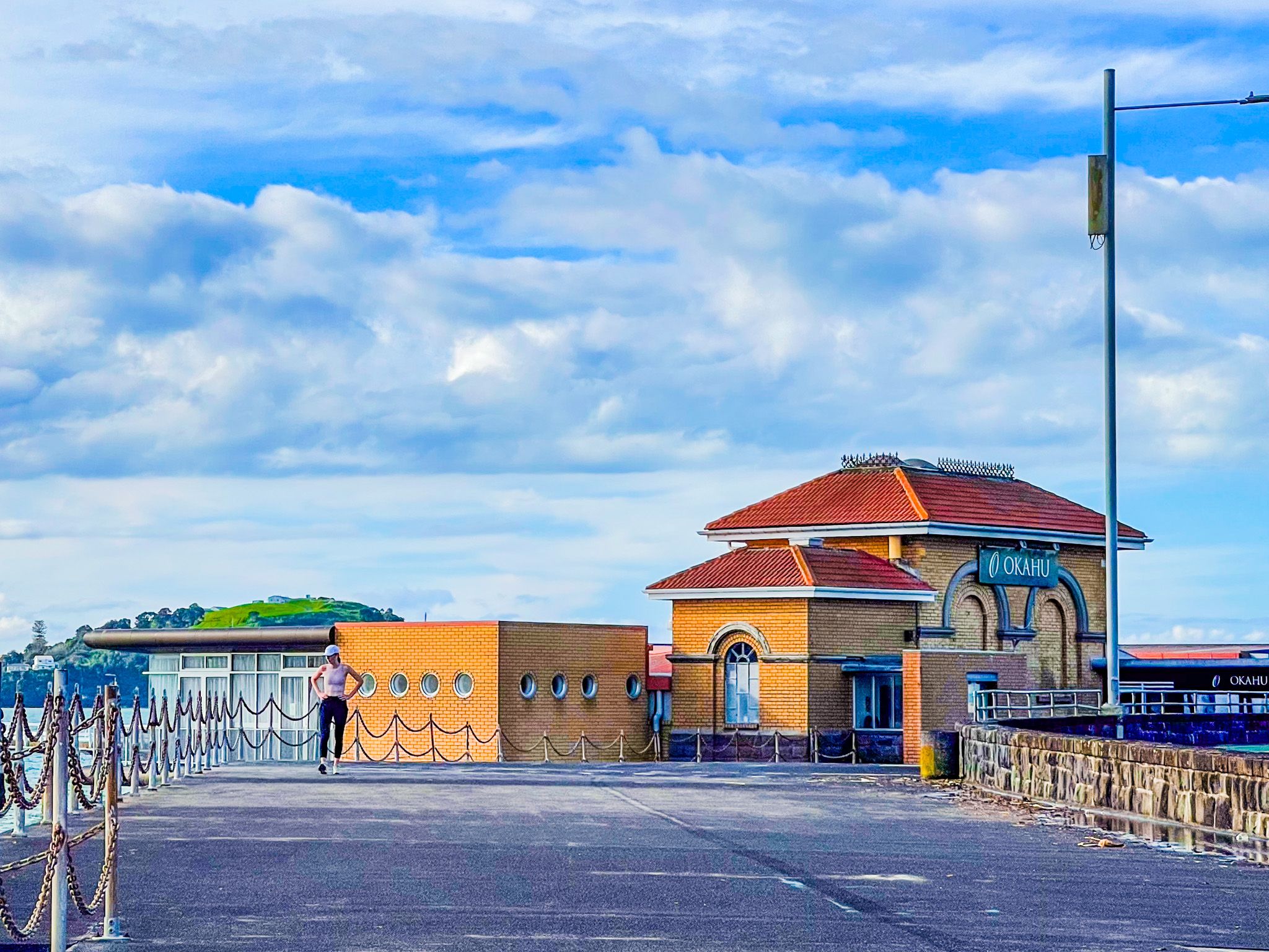
Shortly after leaving the viaduct, the road and path run below the cliffs, covered in a thicket of pōhutukawa trees. On your left is the entrance to the Orakei Marina at the west end of Okahu Bay. After the marina, continue around Okahu Bay, which has a large grassy reserve and beach. On the south side of the road, Ōrākei Domain, another large grass reserve, fronts the suburb of Ōrakei.
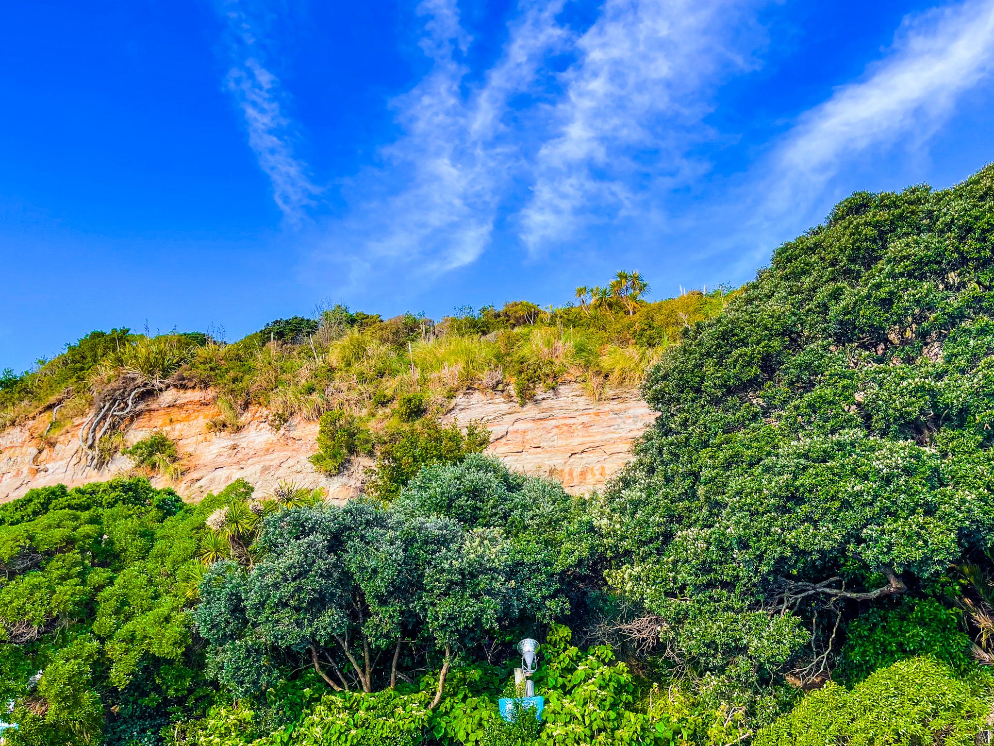
The road and shared path continue to follow the edge of the cliffs below Takaparawha Point and Bastion Point, primarily covered in pōhutukawa trees. The cliffs are Waitematā Sandstone, uplifted from the sea about 17 million years ago. Depending on your choice of maps, Ōrākei Wharf or Okahu Bay Wharf sits below Takaparawha Point. A public pier sticks out into the harbour, perfect for a different viewpoint and fishing!
After the pier, you will see the entrance to Bastion Point. The point is a large cliff-top park with a fascinating history, including a monument to one of NZ’s best-known prime ministers, a marae and several old gun emplacements. You could spend most of the day here alone. The next stop after Bastion Point is Mission Bay, named for the Anglican Melanesian Mission in Auckland, established in the late 1850s. Today, it is a very popular suburban village and beach with an interesting history.
Rounding Pipmea Point at the east end of Mission Bay, you will see pretty Kohimarama Beach, backed by upmarket houses and apartments, and then St Heliers, another 1,400 metres around Grower Point. Although Mission Bay is more popular, St Heliers also has a beach village vibe.
Māori called the entire region Tāmaki Makaurau, which means the isthmus desired by a hundred lovers. Tāmaki is also the estuary and river at the end of the eastern bays. Māori settlement reflected the abundant kai moana (seafood) and other resources on the shoreline. Takaparawhau, overlooking Okahu Bay, was important as a strategic pā location.
When Europeans started to settle in the early 1840s, Ngāti Whātua Ōrakei provided a large area of land to support the creation and development of Auckland, retaining Ōrakei down to Okahu Bay. Development in the bays was slow, and the first European use was a large acquisition of land around Kohimarama and Mission Bay by Bishop George Selwyn to support the Anglican St Johns College in the 1840s, with the Melanesian Mission being added at Mission Bay in 1859. By the 1880s, the government had begun a series of actions that ultimately deprived Ngāti Whātua Ōrakei of their remaining land. This ultimately resulted in the occupation of Bastion Point in the 1970s and the restoration of part of Ōrakei, Takaparawha Point and Bastion Point to the iwi in 1988. The restoration was also a turning point in how NZ governments handled Treaty of Waitangi claims.
