Discover Saint Heliers Bay
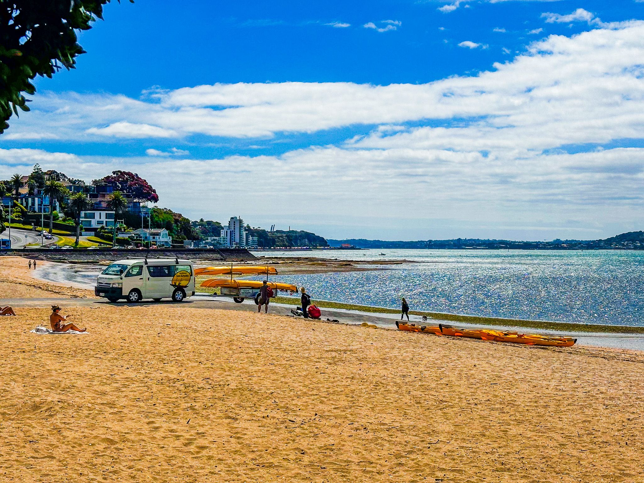
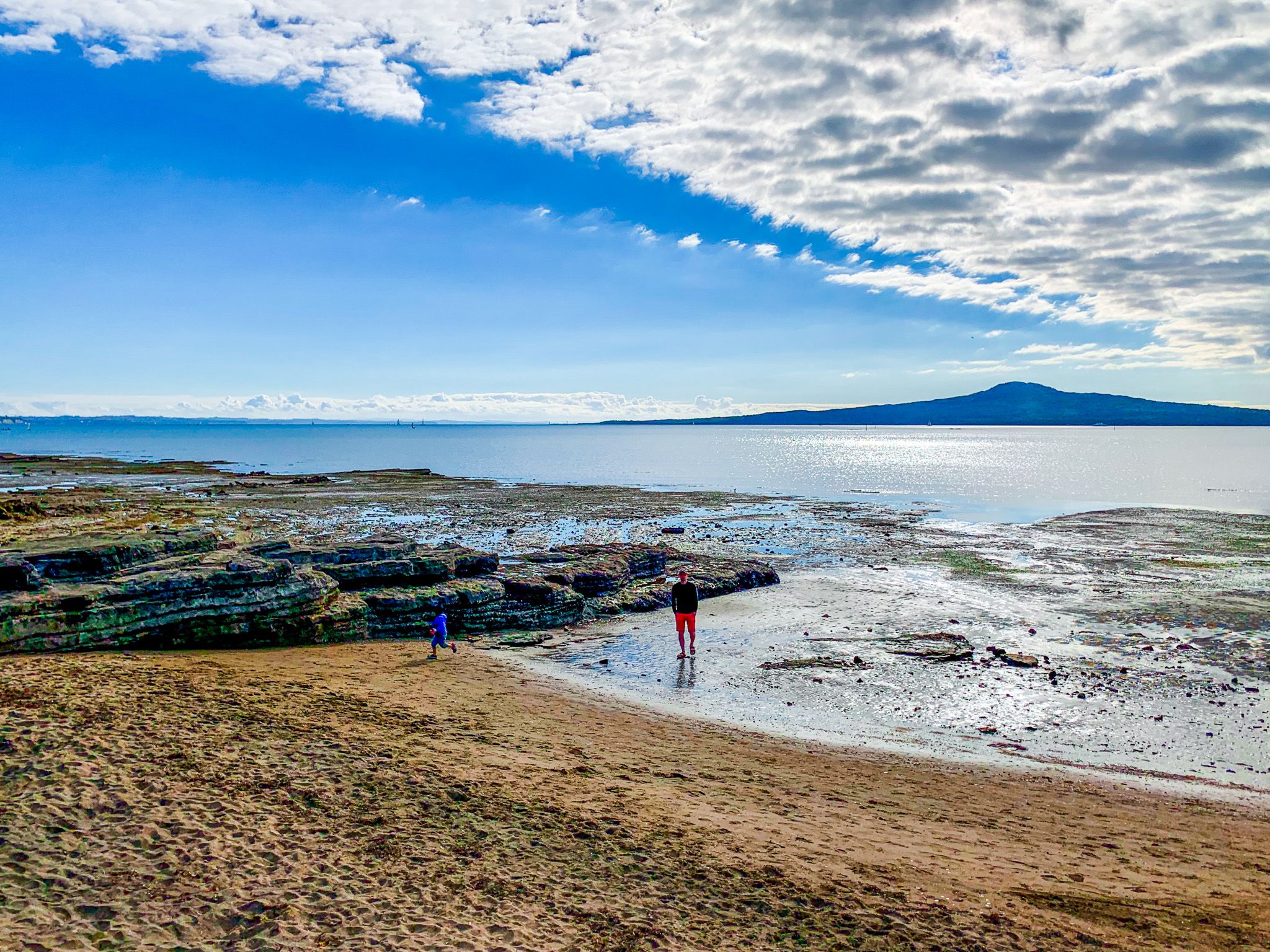
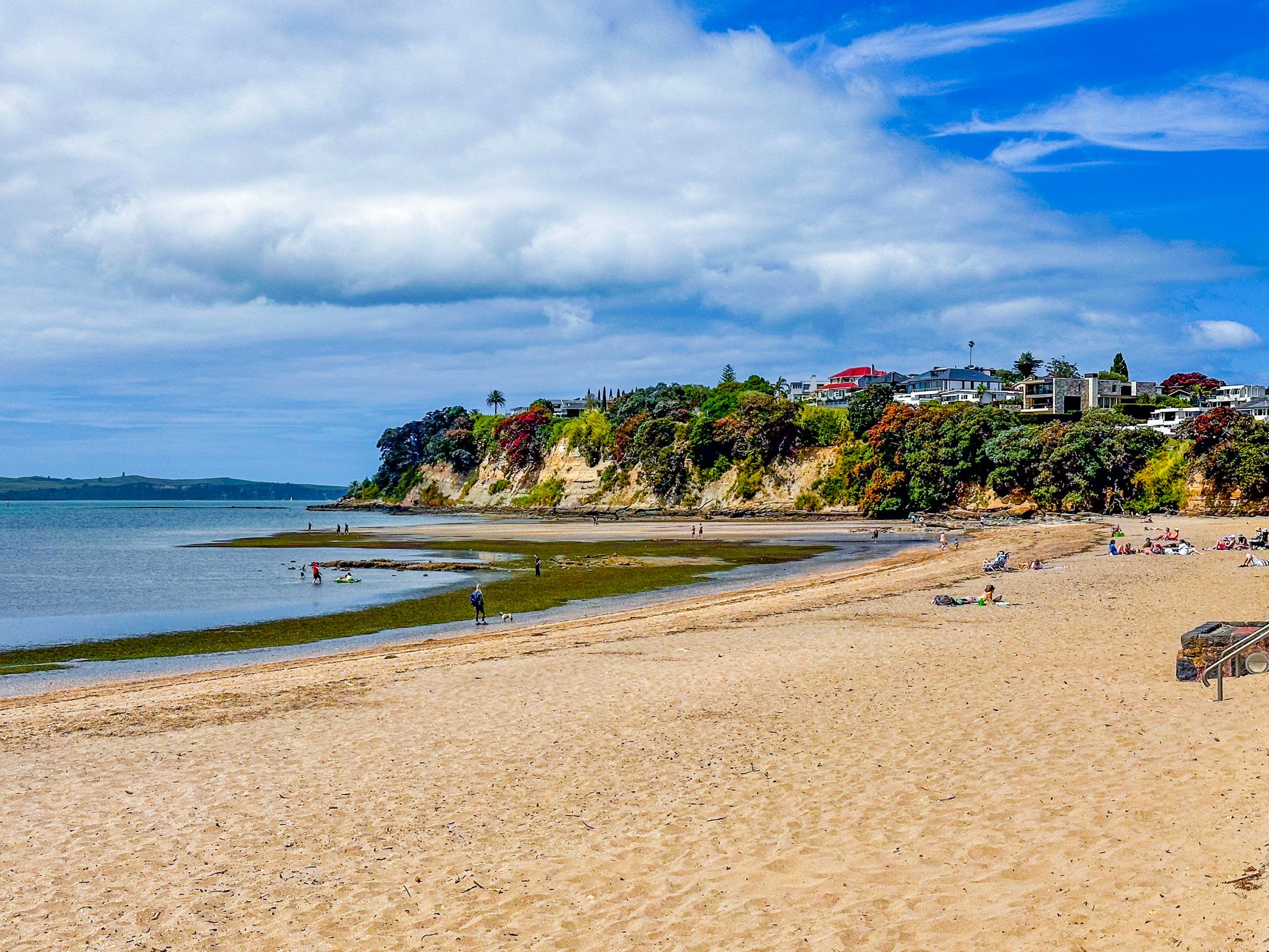
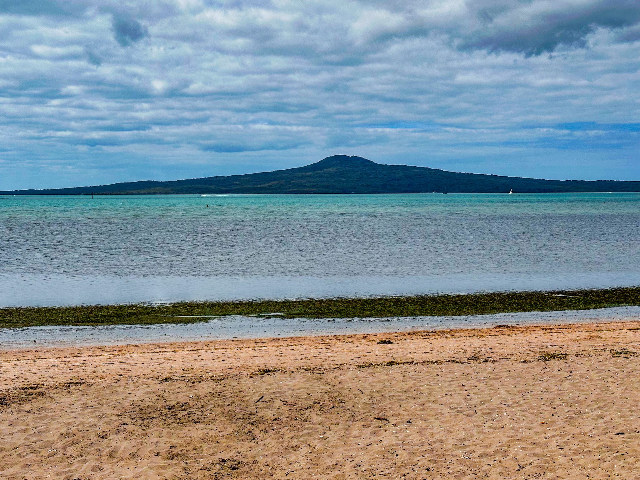
Saint Heliers Bay, located on Tamaki Drive in Auckland, is the easternmost of the beaches on the drive. Positioned directly south of Rangitoto Island, it marks the end of a 9.6 km shared cycle and walking path that connects to Downtown Auckland. This scenic beach is a great spot for swimming and offers a more relaxed atmosphere compared to the busier beaches closer to the city centre.
Beach and Surroundings
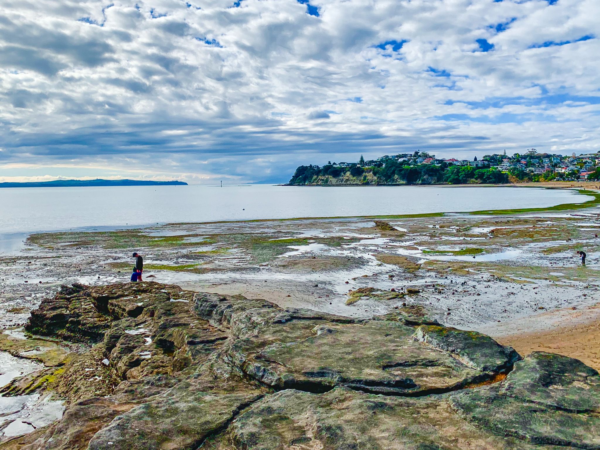
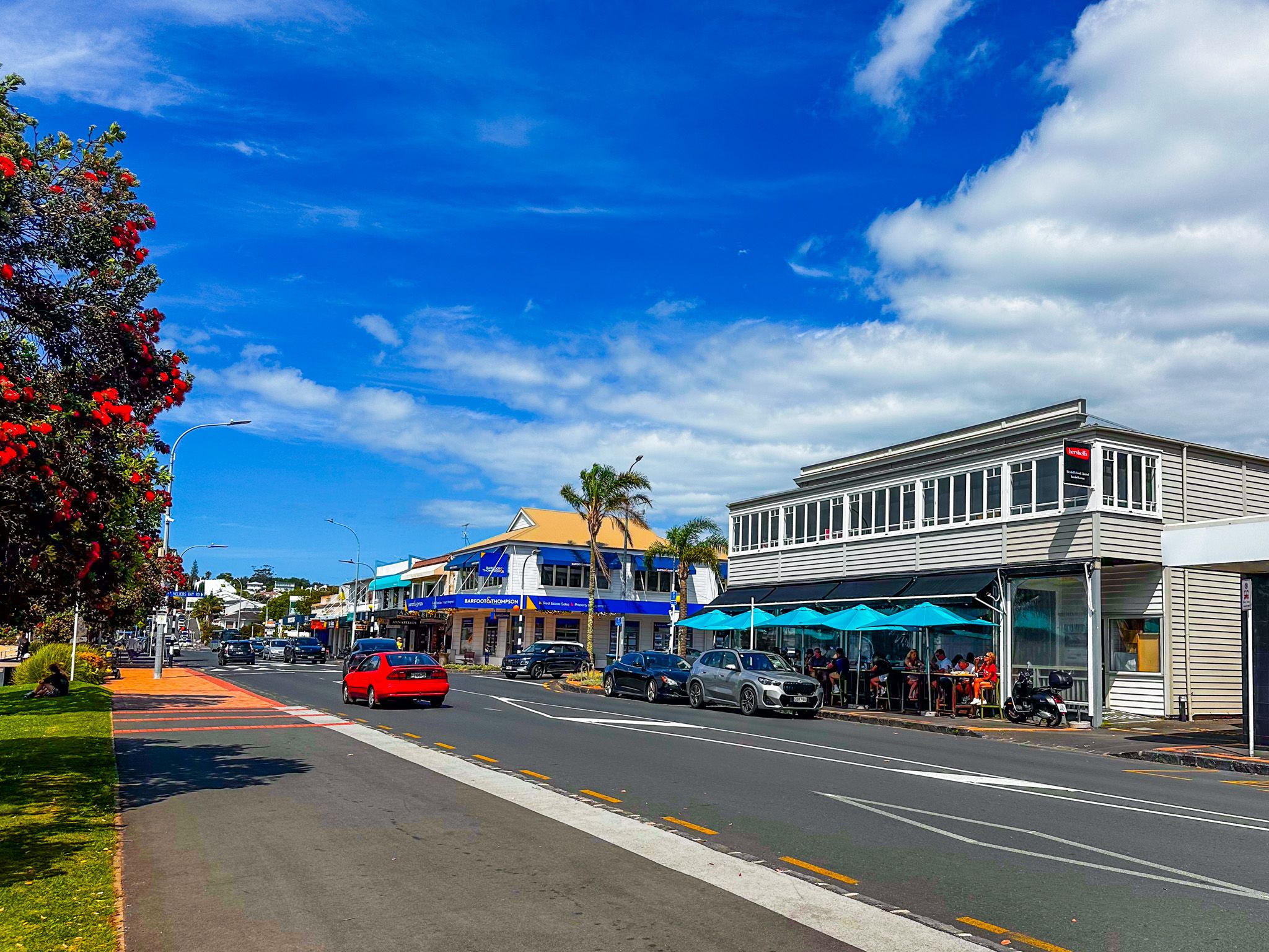
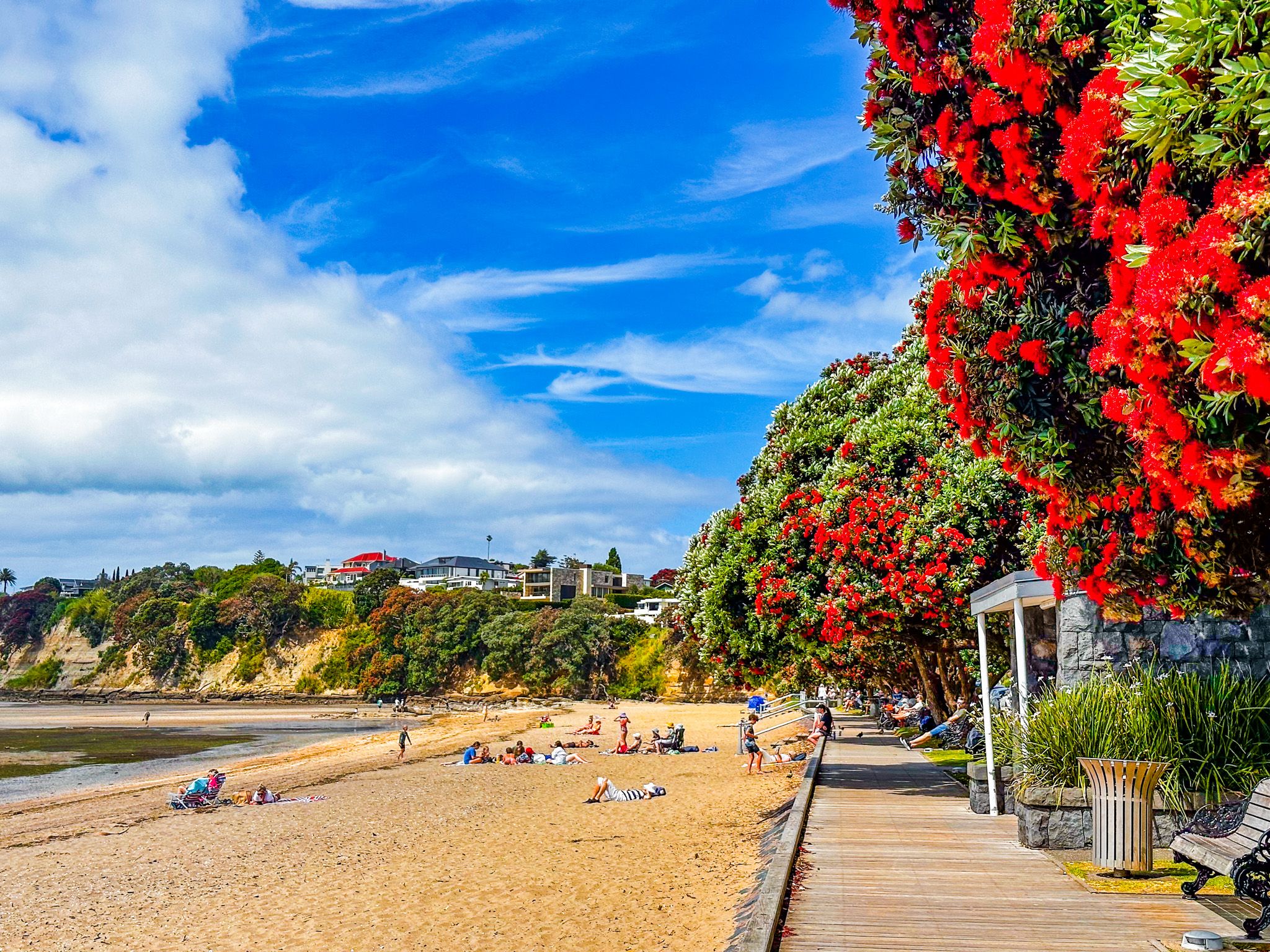
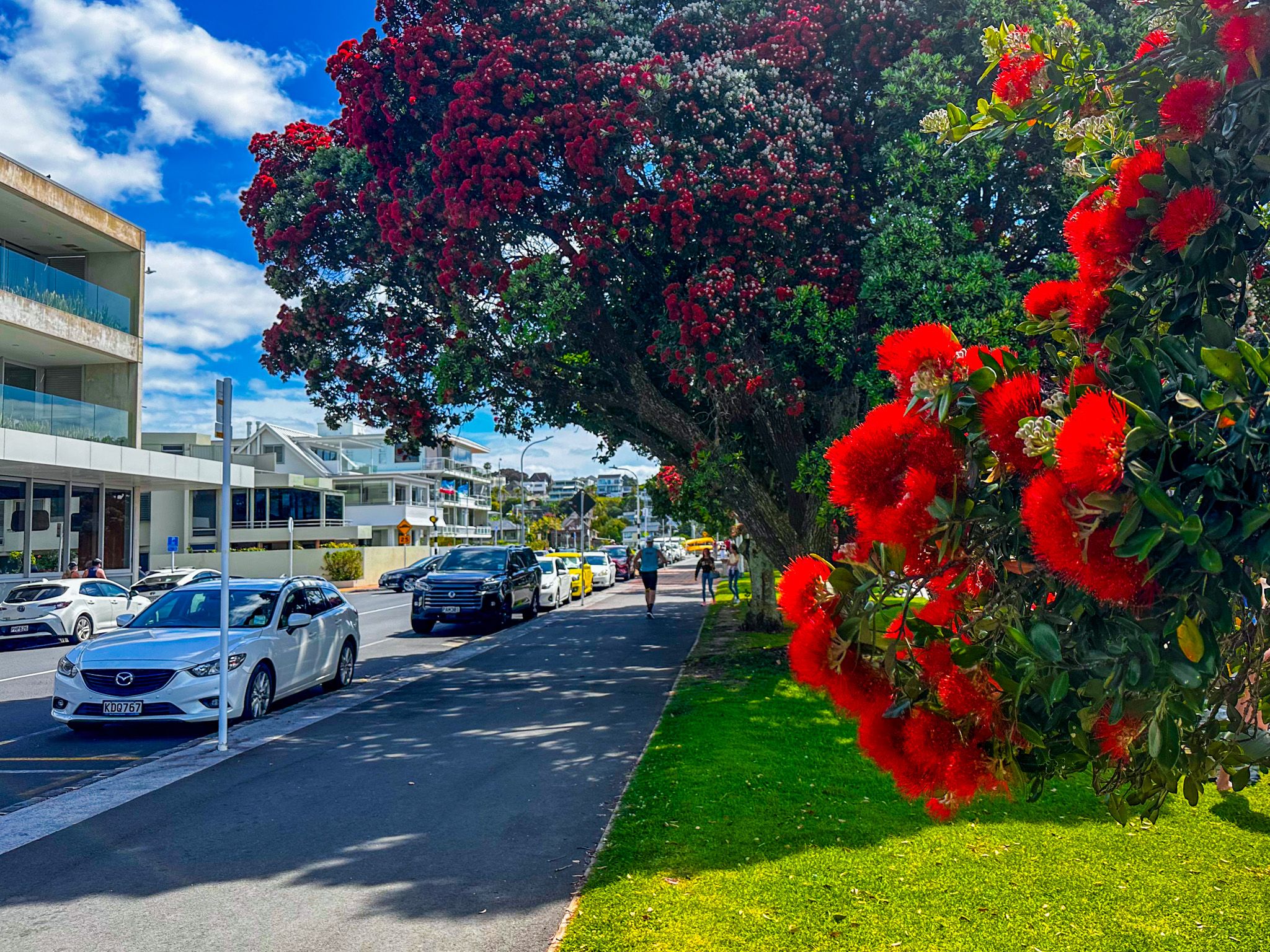
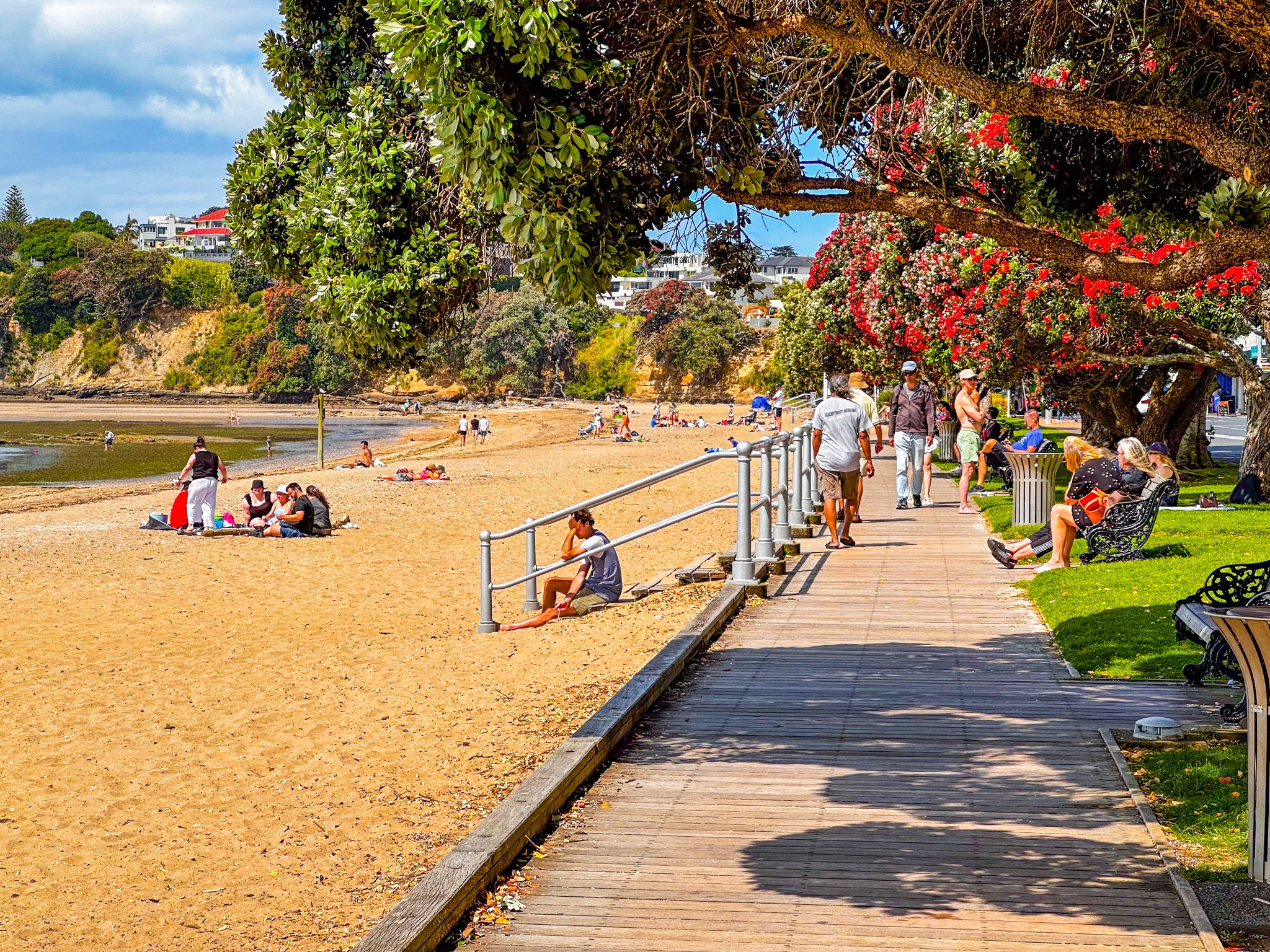
The 700-metre-long beach is bordered by Gower Point to the west and the rocky cliffs of Achilles Point to the east. Pōhutukawa trees line the walkway along the beach, adding to its charm. On the southern side of Tamaki Drive, you'll find Saint Heliers village, which features a variety of shops and cafes. Vellenoweth Green, a grassy reserve, is located opposite the west end of the beach, providing a pleasant spot for picnics and relaxation.
Scenic Walks and Views
From Saint Heliers Bay, it's an easy walk up to Achilles Point. The path along the cliff edge offers superb views, making it a worthwhile excursion. Further along, you can explore Whakamuhu / Glover Park, a volcanic crater with a distinct tuff ring known as The Rise.
Historical Significance
The area around Saint Heliers, including Achilles Point and Glover Park, is historically significant to Māori. Known as Te Pane o Horoiwi, it was settled by Horoiwi, a migrant aboard the Tainui waka, in the 1200s. The Te Pane o Horoiwi pā was located at the end of The Rise.
Over time, the area saw various iwi, including Te Waiohua and Ngāti Whātua, with the latter becoming dominant in the mid-1700s. In the late 1700s, Ngāti Whātua gifted the land to Ngāti Pāoa, who were later displaced by Ngāpuhi during the Musket Wars. Ngāti Pāoa returned in the 1830s and sold the land to the government in 1841.
European Settlement and Development
European settlement began with the construction of the Glen Orchard house in the 1850s. By 1879, Glen Orchard became Auckland’s first stud farm, managed by Major Walmsley, who named Saint Heliers Bay after the Bay of Saint Helier in Jersey. Although plans for a model seaside suburb were drawn up in the mid-1880s, development was slow due to poor road access. A 460-metre pier was built to improve boat access, making the bay popular for day excursions in the 1890s. The opening of Tamaki Drive in 1932 finally transformed Saint Heliers into an appealing seaside suburb.
Getting to Saint Heliers Bay
To reach Saint Heliers Bay, drive along Tamaki Drive from Auckland's city centre. The scenic route takes you past several other beaches, offering beautiful views of the harbour. Public transport options include buses that run regularly from the city to Saint Heliers.
Other beaches to explore in the eastern bays include Mission Bay, Kohimarama and Ladies Bay.
