Exploring Kohimarama Beach: Auckland's Coastal Gem
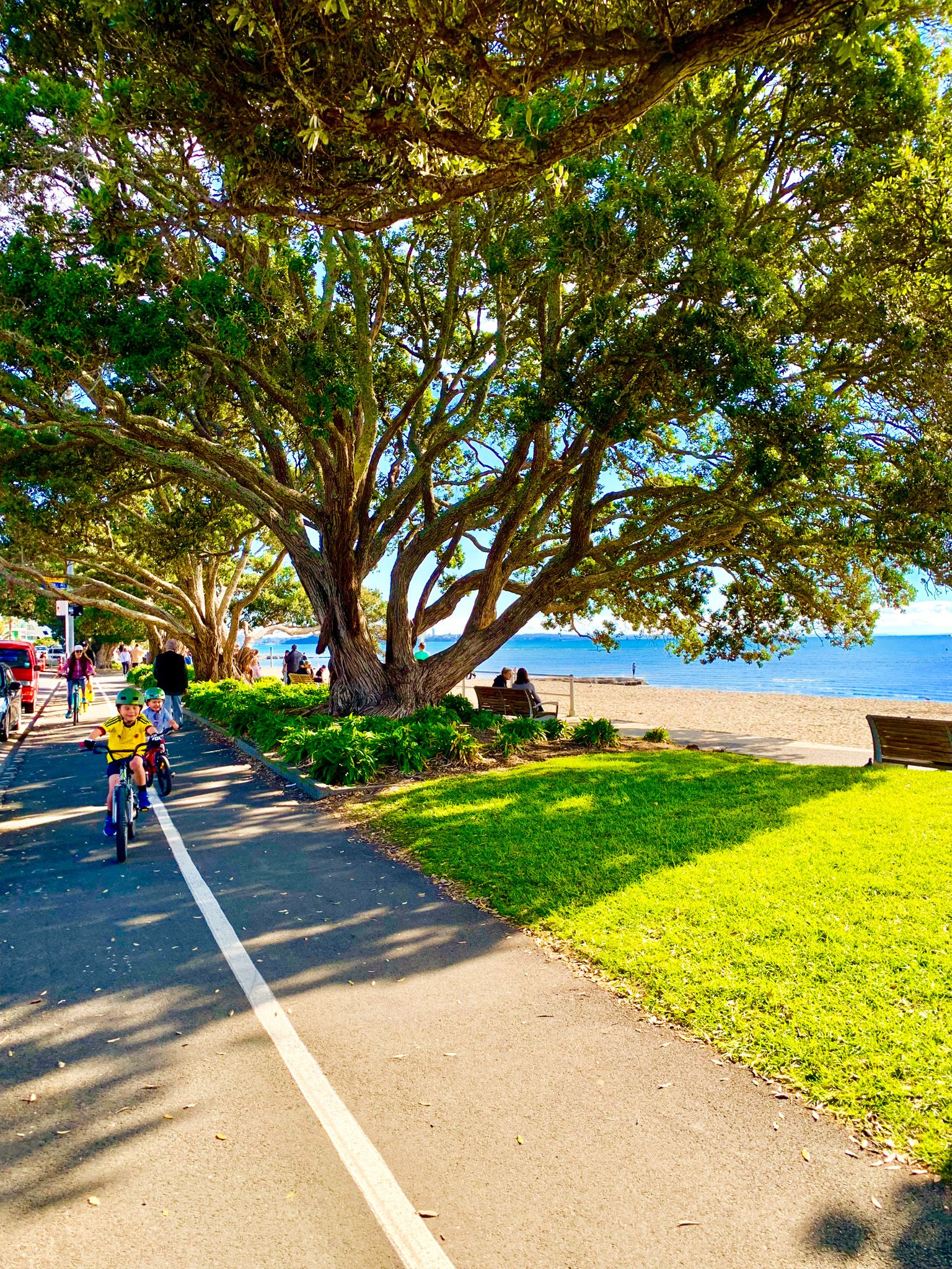
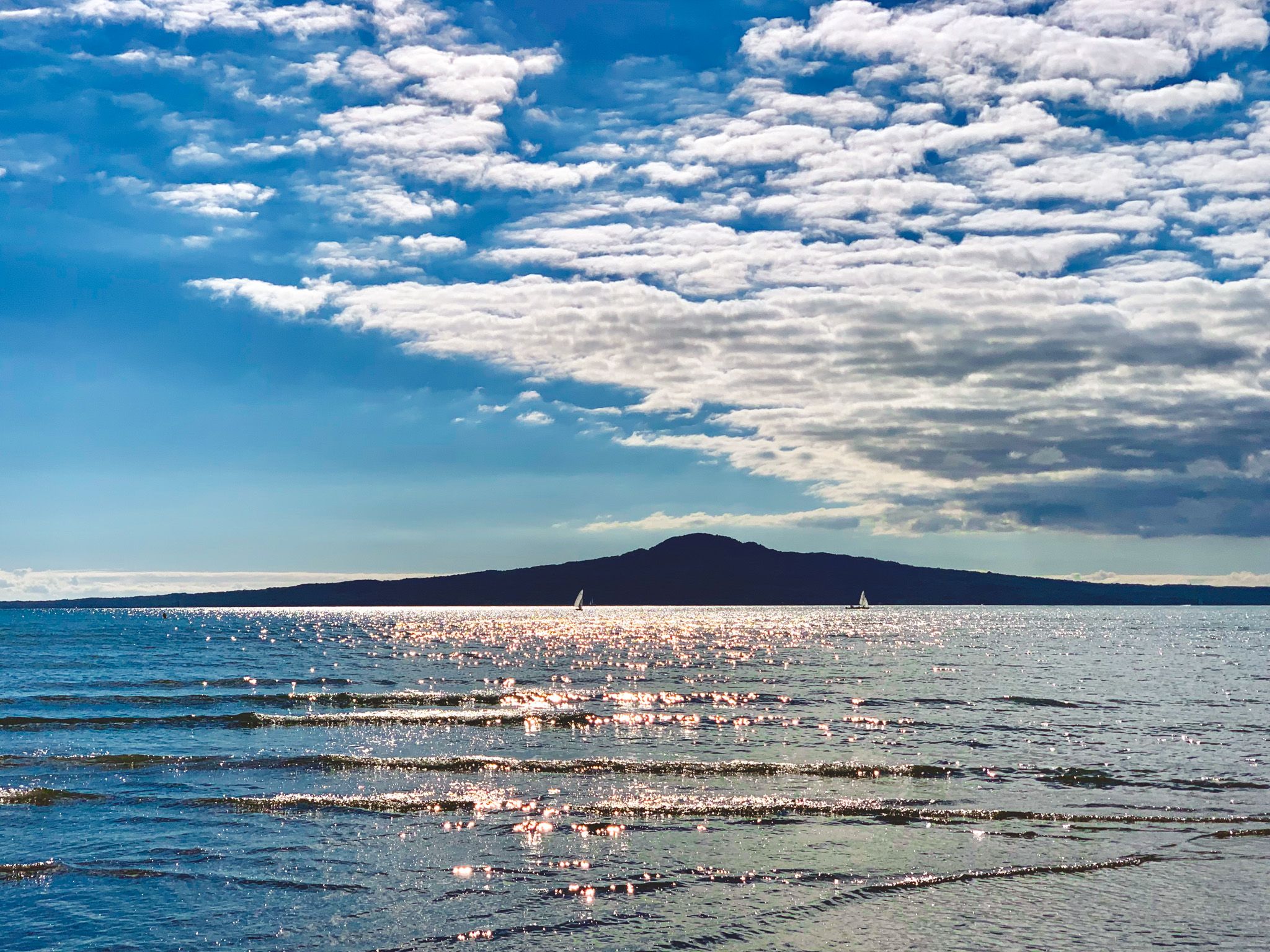
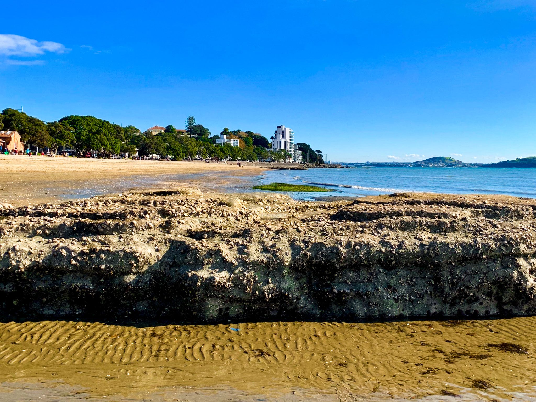
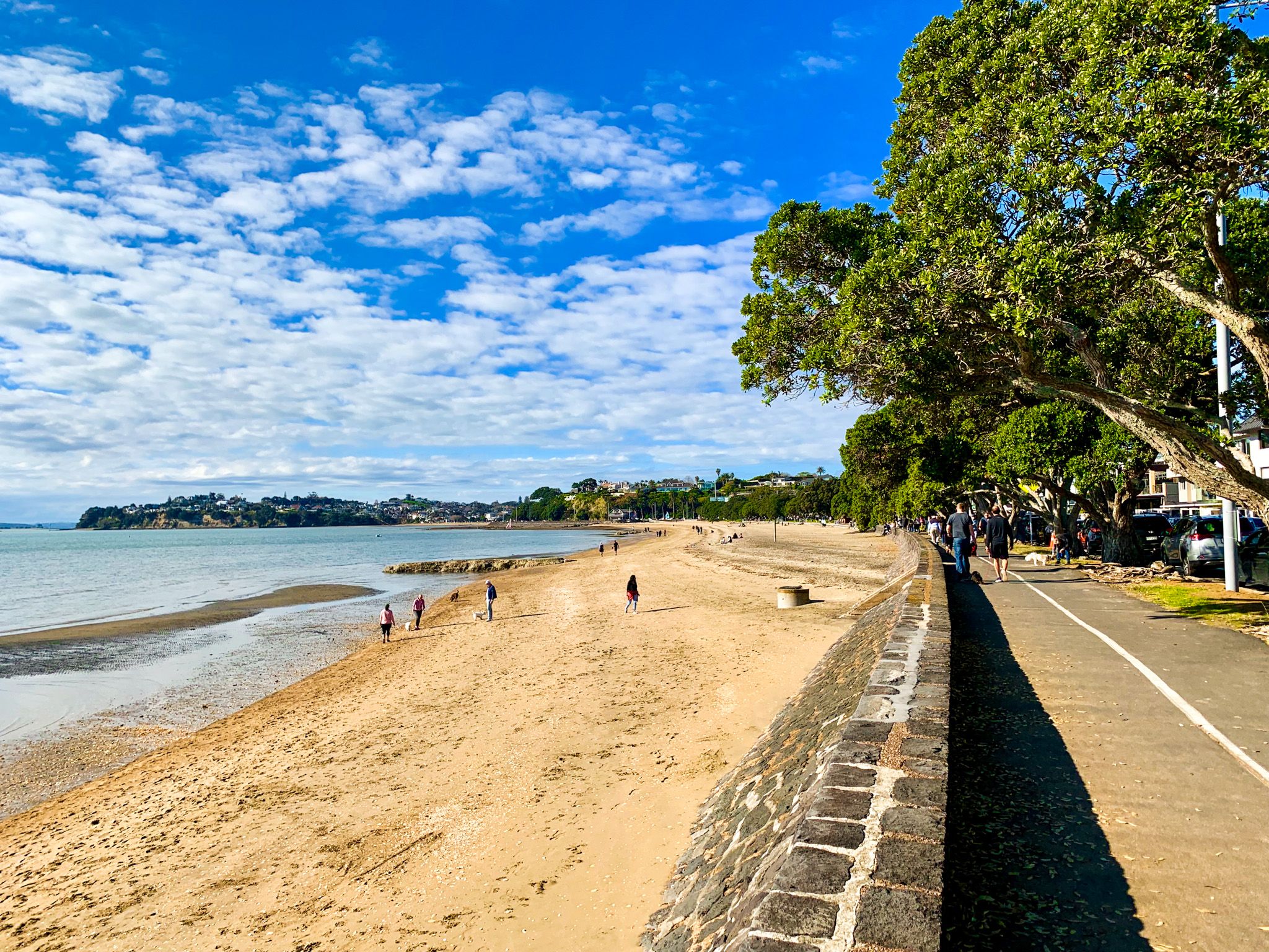
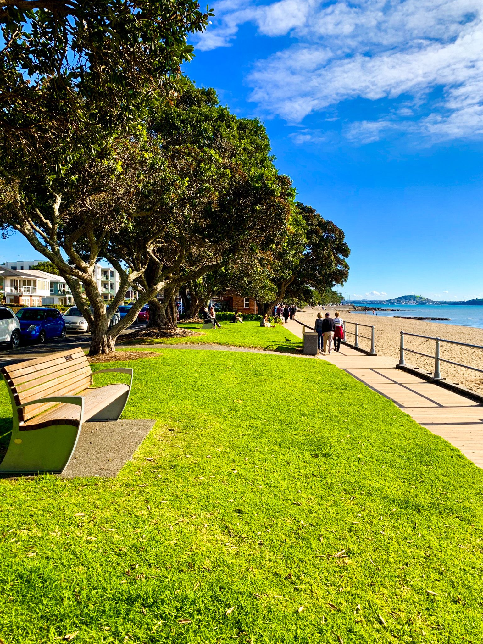
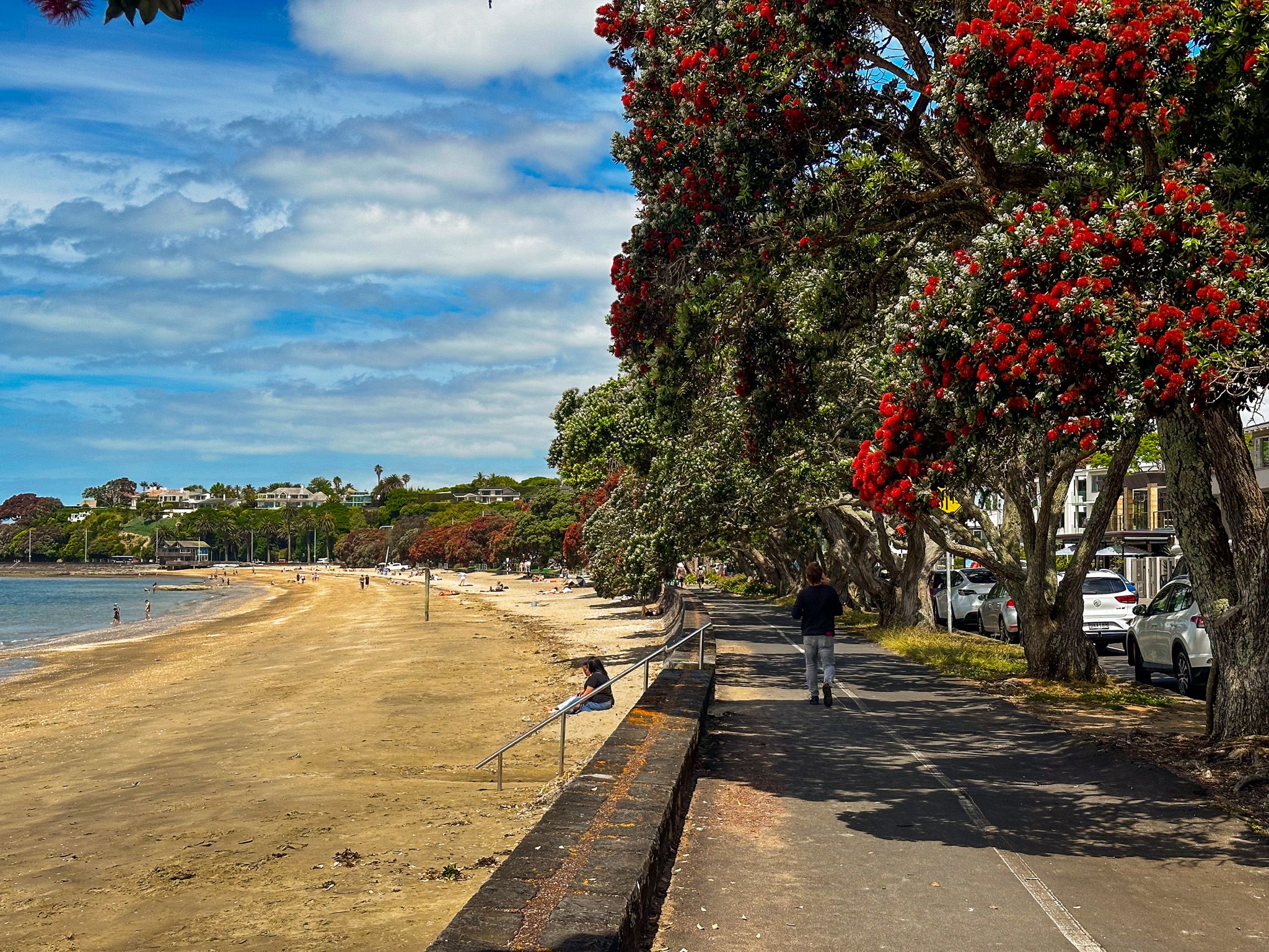
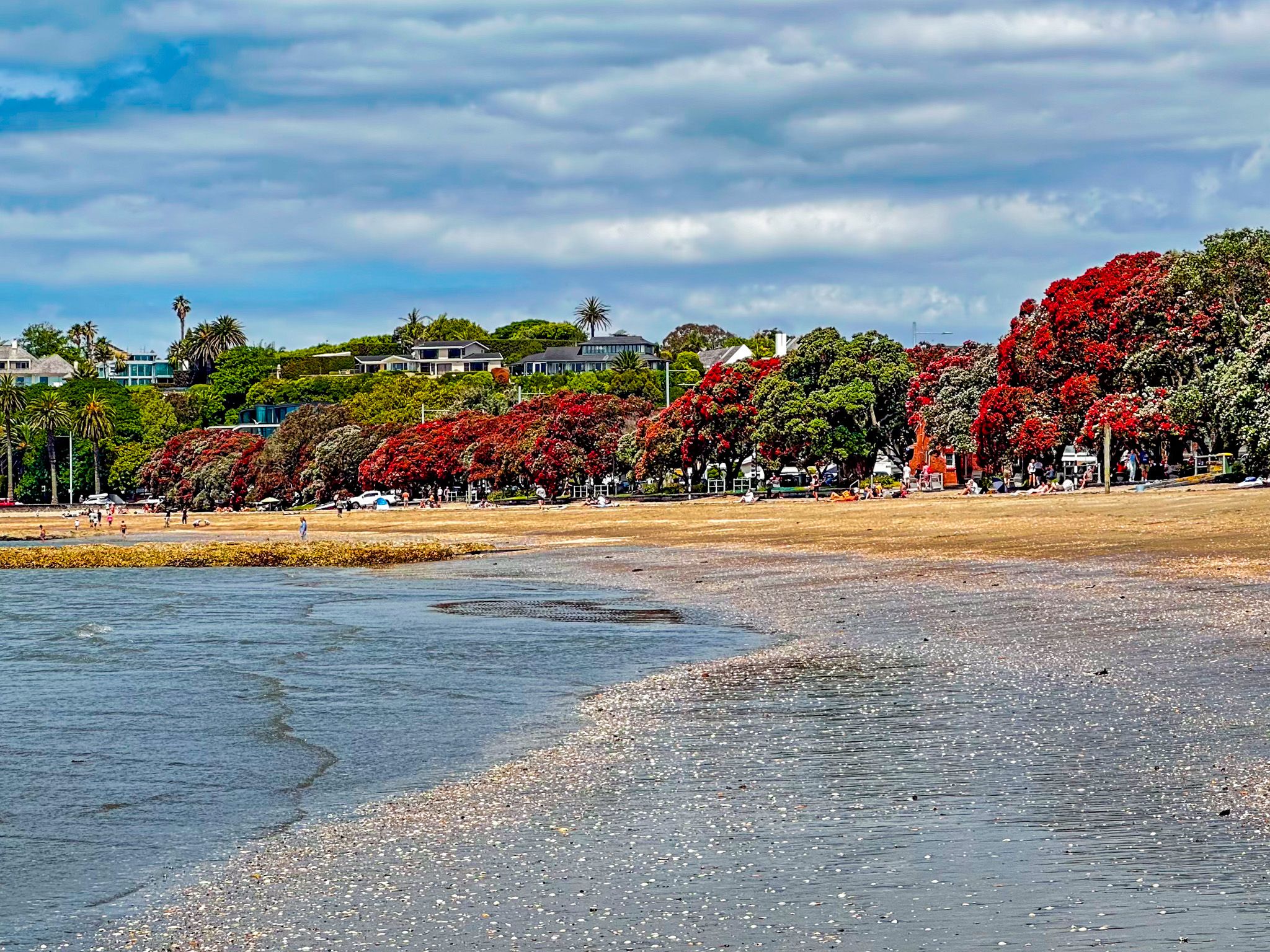
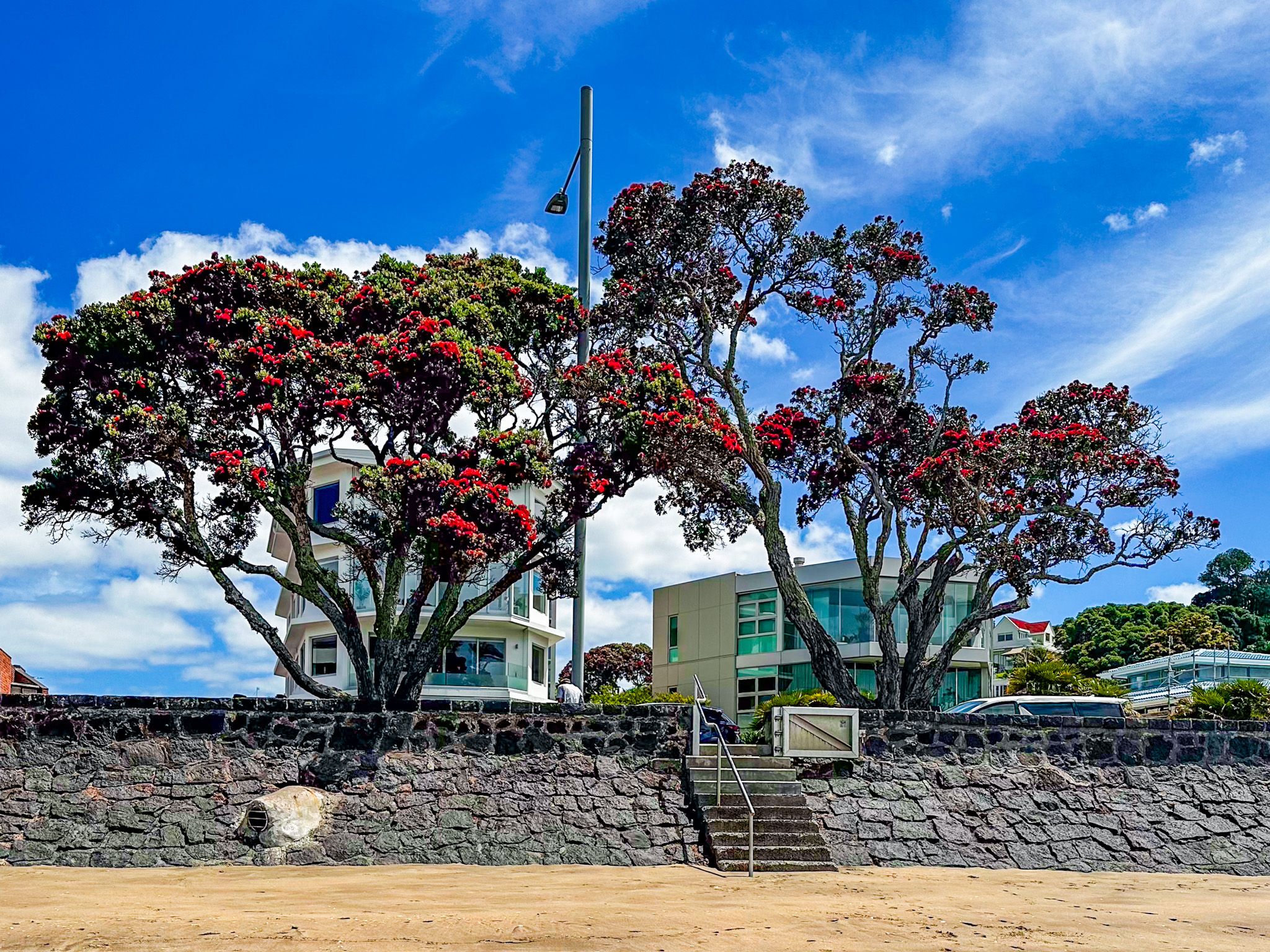
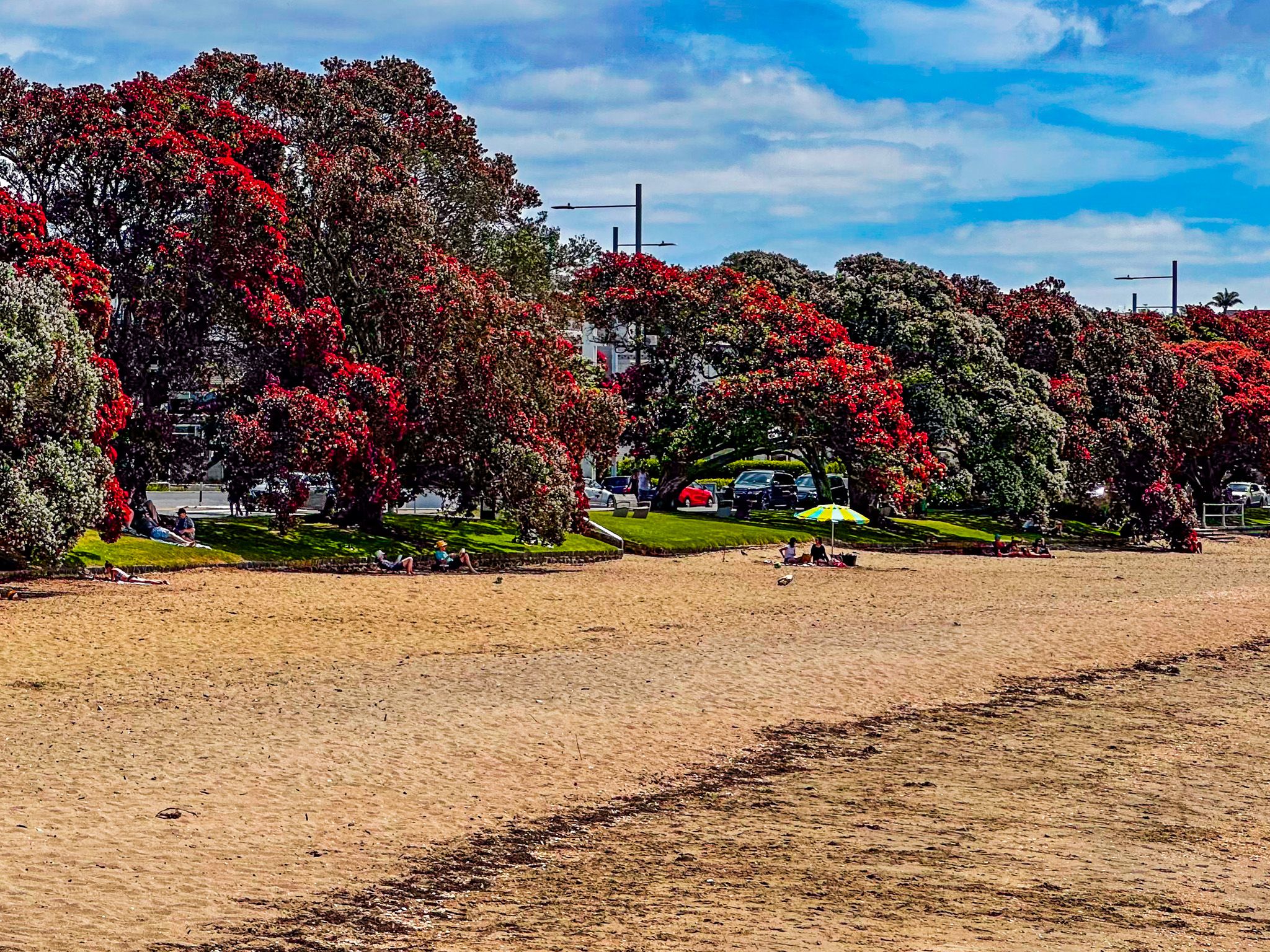
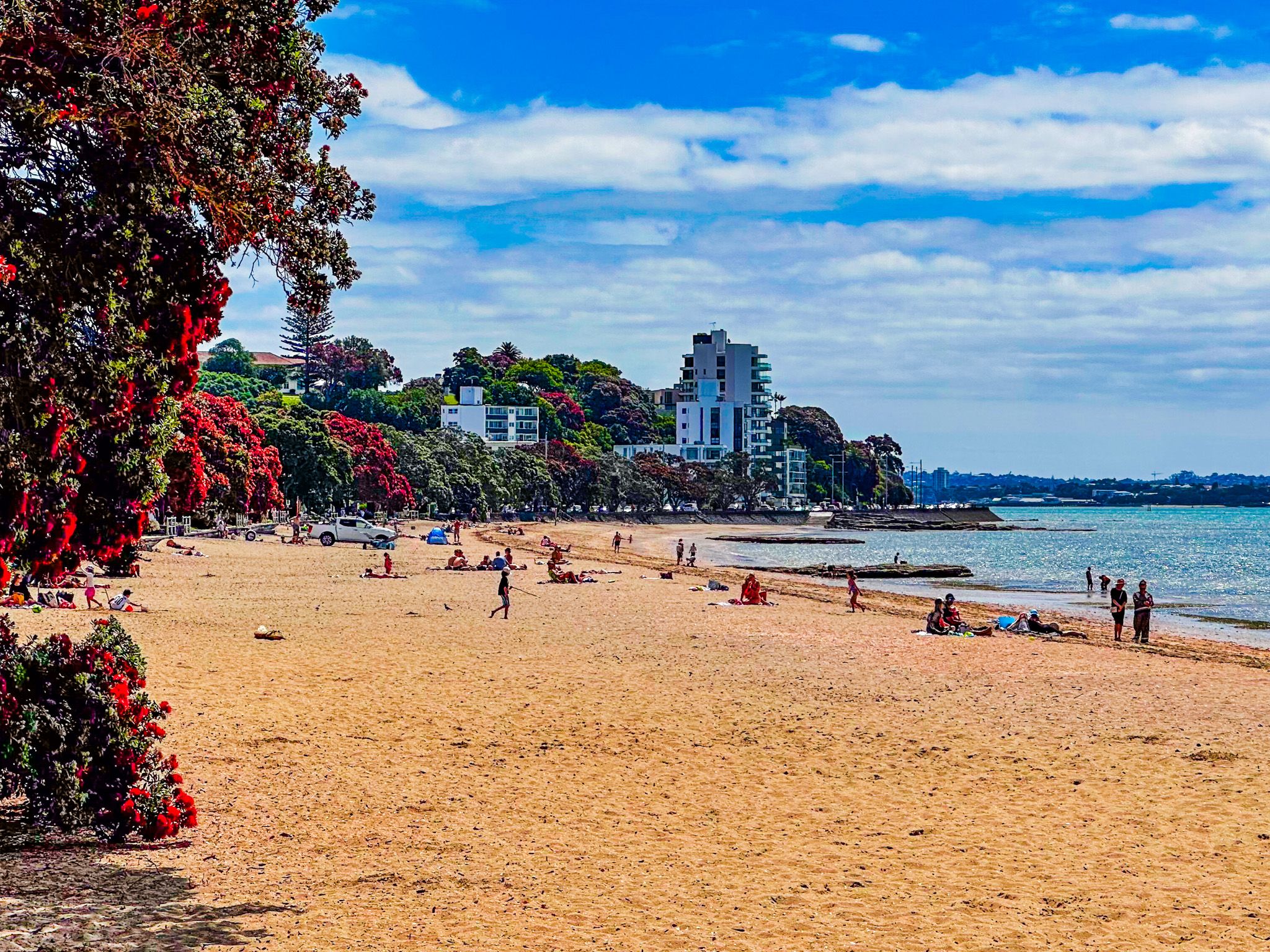
Kohimarama Beach, located along Tamaki Drive near the entrance to the Waitamatā Harbour in Auckland, stretches 900 metres, making it the longest beach in the area. This picturesque beach is ideal for swimming and offers opportunities for small-class yacht races and kayaking, thanks to its easy boat access. The beach is bordered by a shared walking and cycling path lined with pōhutukawa trees, providing a scenic route for visitors.
A Tranquil Beach Suburb
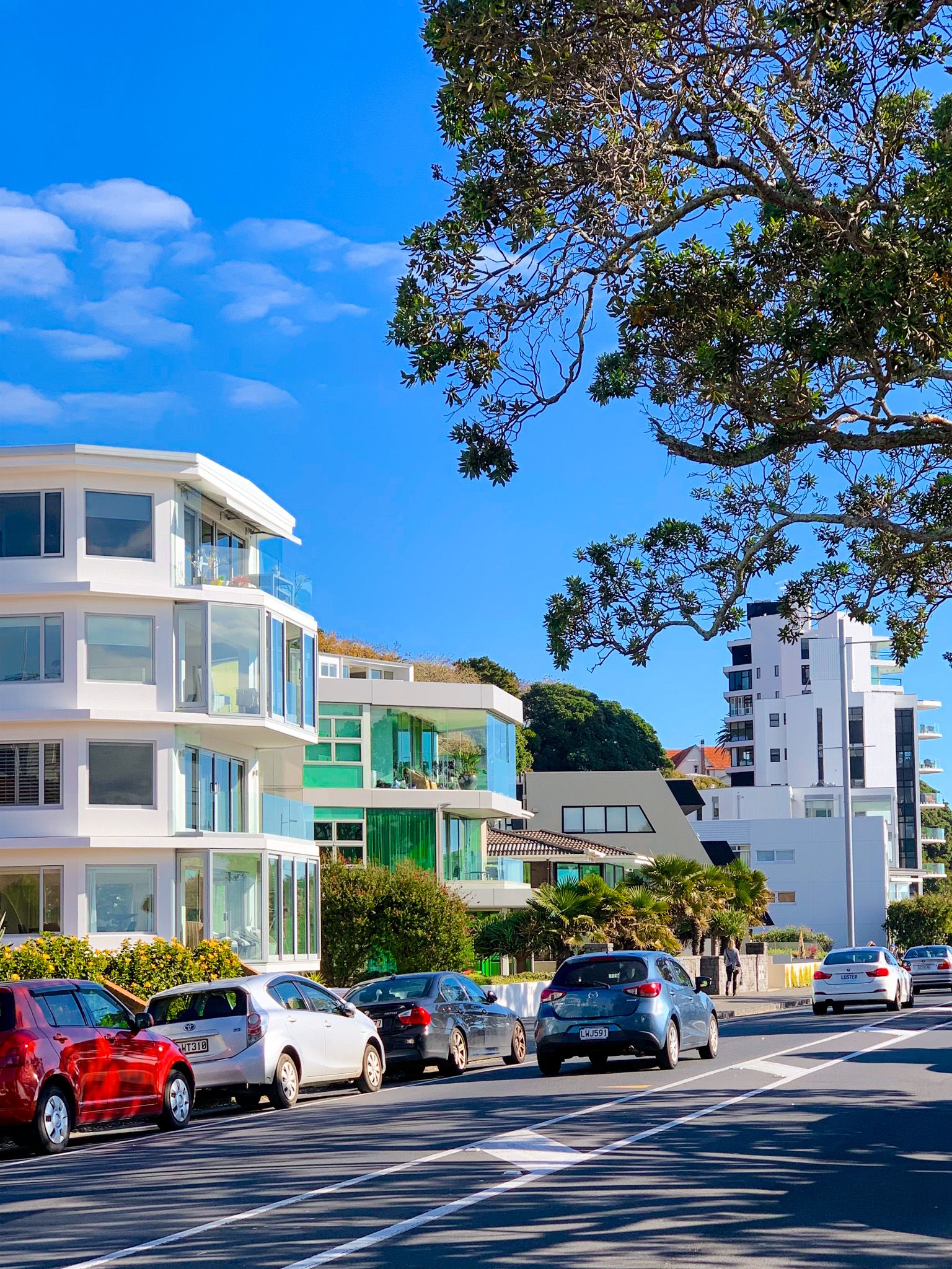
Unlike the bustling neighbouring areas of Mission Bay to the west and St Heliers to the east, Kohimarama is a more tranquil, upmarket beach suburb. While the suburb has limited retail and dining options, this contributes to its less crowded atmosphere, even in good weather.
Historical Development of Kohimarama
The development of Kohimarama is relatively recent. In the 1840s, Bishop George Selwyn of the Anglican Church acquired the land as part of a large purchase to support Saint Johns College and later the Melanesian Mission in Mission Bay. Initially leased as a farm, the church trustees only began selling sections in 1943.
The development included 550 houses, a few shops known as the Melanesia shops, and a 30-acre reserve, Madill’s Farm Recreation Reserve, located three blocks from the beach. Since then, Kohimarama has fully developed as a city beachfront suburb, with expensive modern housing.
Getting to Kohimarama Beach
To reach Kohimarama Beach, head along Tamaki Drive from Downtown Auckland. The drive offers scenic views of the harbour and is accessible by car, bicycle, or public transport.
In addition to Mission Bay and St Heliers, you can also easily add Bastion Point, Achilles Point and Ladies Bay to a visit to Kohimarama.