Discover Takarunga Mt Victoria
Takarunga Mt Victoria, located in Devonport, is one of the many extinct volcanoes of Auckland. Just north of the village's main road, it is a rewarding 20-minute walk from the ferry terminal to its summit. As you ascend, take the track to the left from the entrance, which winds around the mountain. On your descent, follow the road past a historic Victorian house that supports an artist-in-residence programme.
Panoramic Views and Historical Significance
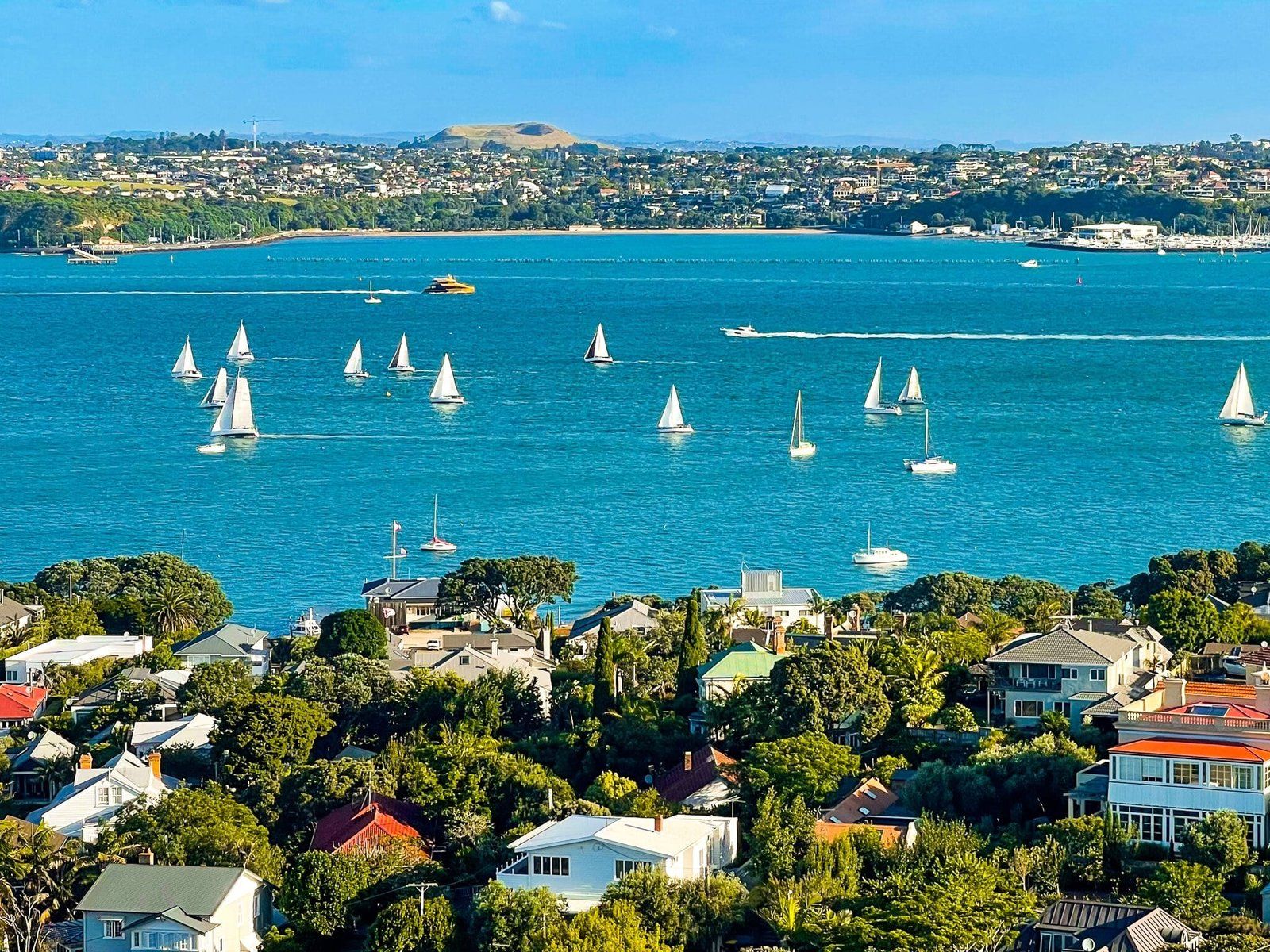
From the top of Mt Victoria, you can enjoy stunning views across the Waitematā Harbour, stretching south to Downtown Auckland and Maungawhau Mt Eden, north to Rangitoto and the Hauraki Gulf, and west to Waiheke Island and the Coromandel Peninsula. Historically, the mountain was the site of a pā, and you can still see signs of pre-European habitation, such as pits and terraces on its northern side.
Development and Military History
The development of Devonport led to the destruction of the crater, which now houses a water storage facility. The colourful metal mushrooms at the summit are actually air vents for the pumps.
A notable aspect of Mt Victoria is its military history. In the late 1800s, during the "Russian Scare," the mountain was part of Auckland's harbour defences. You can find a rare restored example of a disappearing gun position and other remnants of its military past. A similar gun installation took place at Taiaroa Head on the Otago Peninsula around the same time.
How to Get There
To reach Takarunga Mt Victoria from Downtown Auckland, take a ferry to Devonport and head north along the main road. The walk to the summit takes about 20 minutes.
Other nearby places to explore around Devonport include Torpedo Bay, North Head Maungauika, which is also rich in military history, Cheltenham Beach, Fort Takapuna, Narrow Neck, and St Leonards Beach.