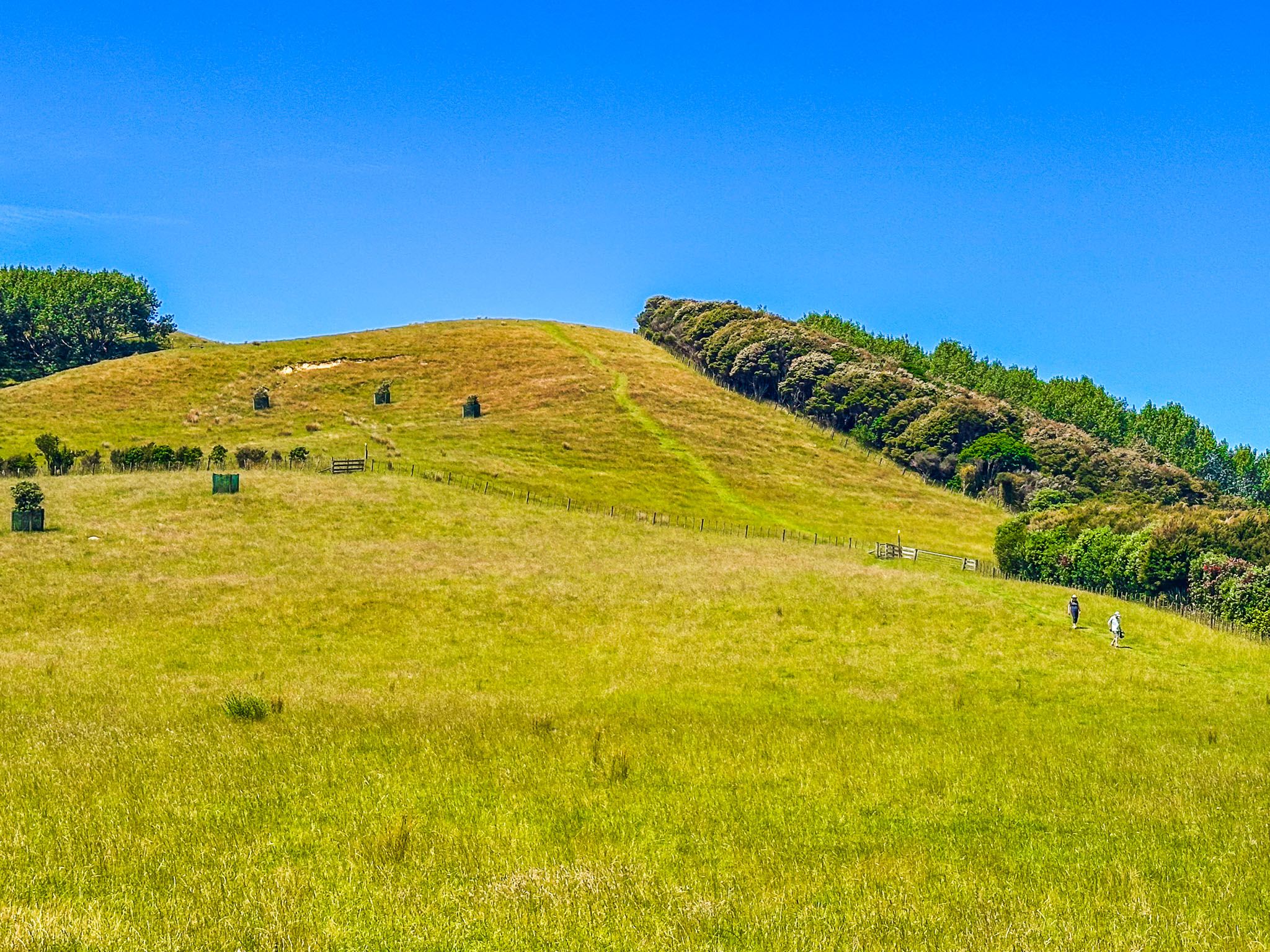
Te Wharau Bay Walk is one of several in Auckland's Duder Regional Park on the Pōhutukawa Coast. From the car park off North Road, walk through the main entrance gate and follow the park road east towards the coast. The first part of the walk takes you around the base of the 86-metre hill that dominates the south end of the Whakakaiwhara Peninsula. You will see the Farm Loop track that takes you up over the top of the hill on the peninsula's south side.
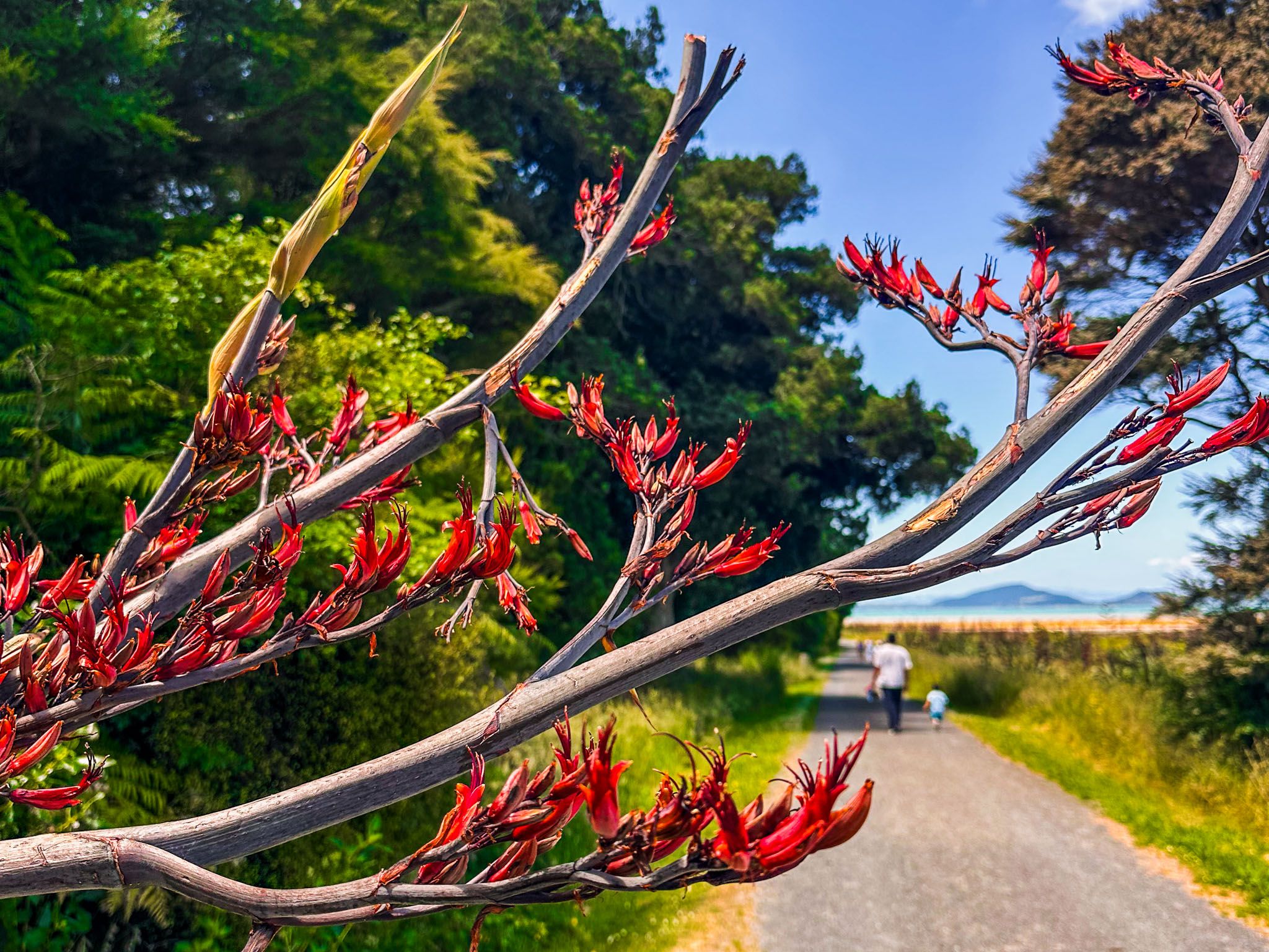
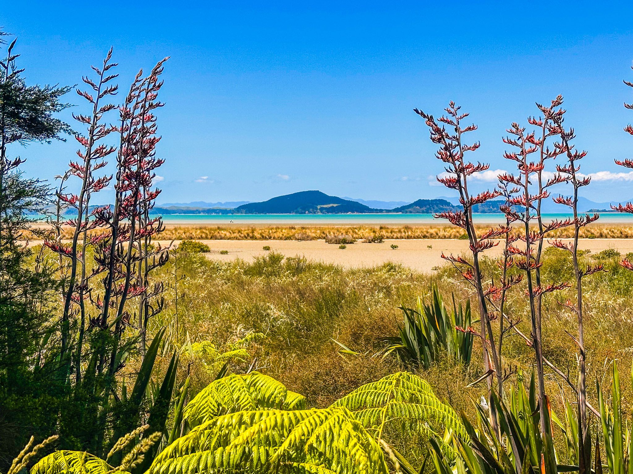
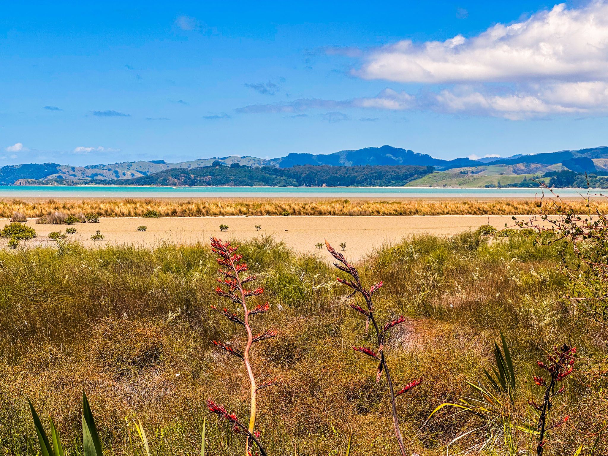
Continuing on the road, there are good views of the coast through fields of harakeke (flax), which are colourful when flowering. After a km, you will come to a fork with signs for Waipokaia Bay (10 minutes) and Te Whara Bay (20 minutes).
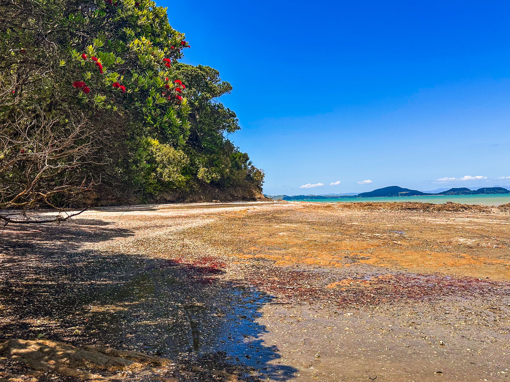
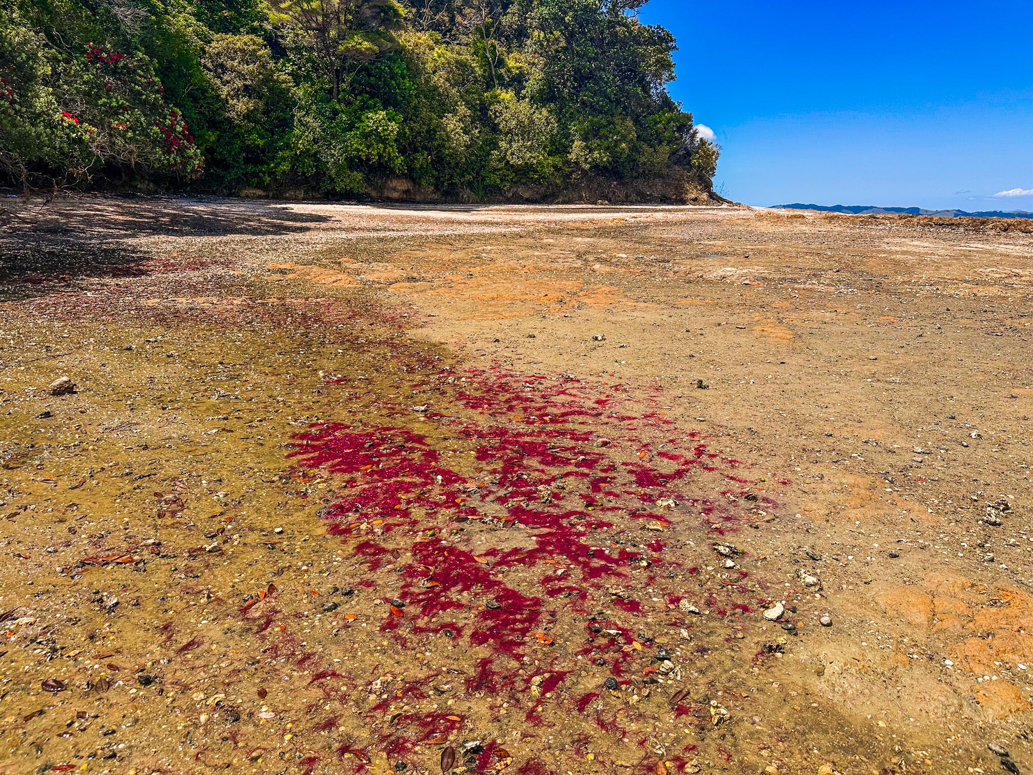
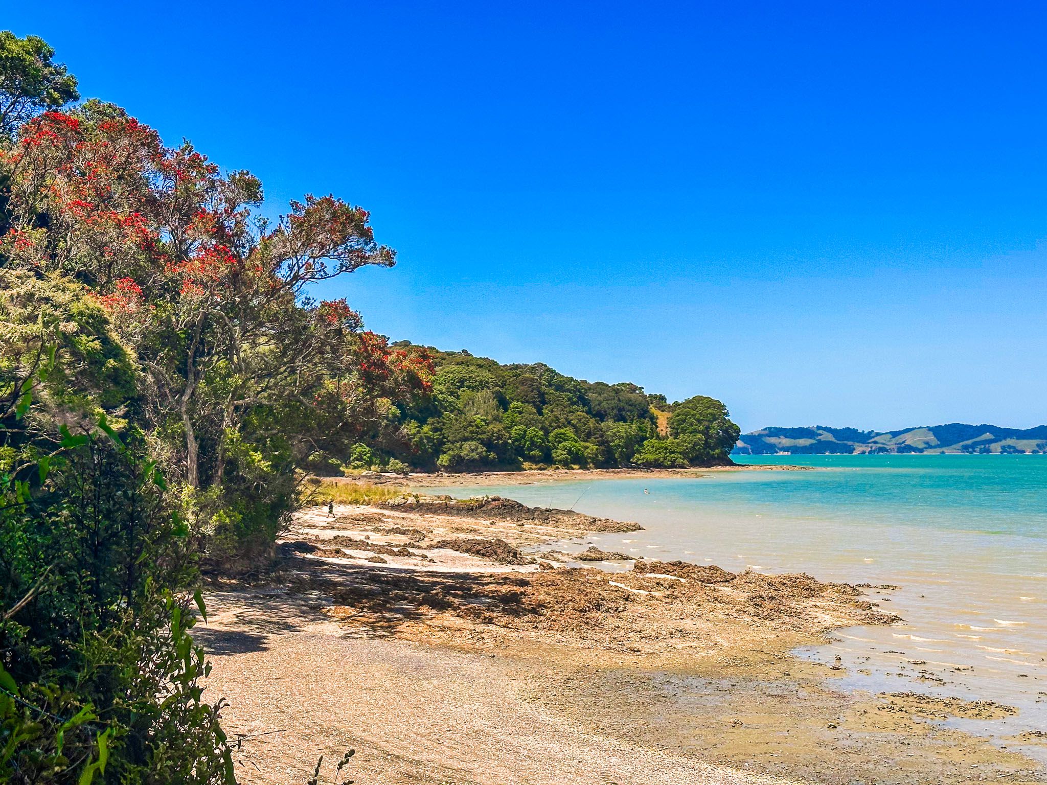
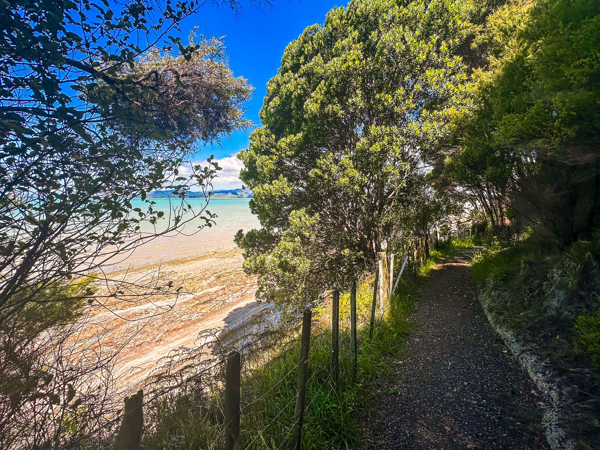
Head right towards the bays, and the road becomes a hiking track that closely skirts the coast on the fringe of a regenerating forest with occasional views. You can leave the track and access the beach at Waipokaia Bay, with stunning sheltering pōhutukawa trees. At low tide, the bay becomes wide exposed flats.
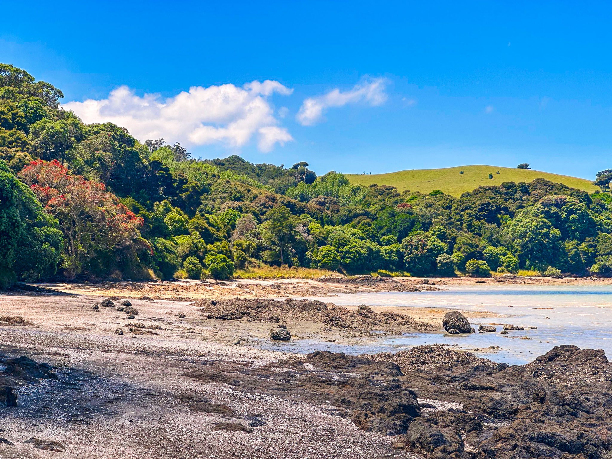
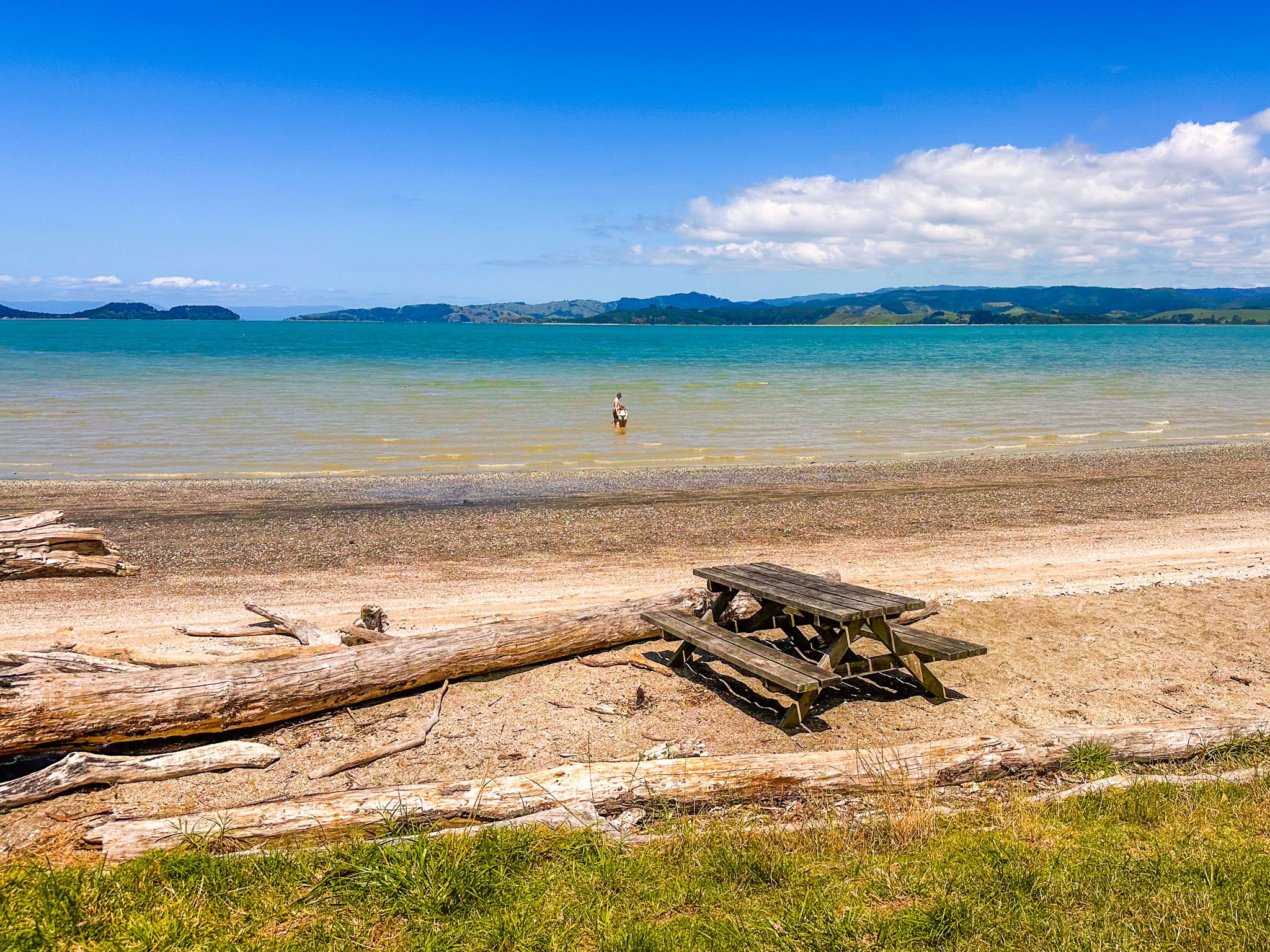
Te Wharau Bay has a better sandy beach and deeper water for swimming. There is also a picnic table and basic campsite for those using the Te Ara Moana kayak trail. You can continue on a link track from the bay's north end to the Whakakaiwhara Pā Walk as a more extended walking option.
On the return from Te Wharau Bay, you can also easily walk along the mostly rocky coast between the bays. Going south from Waipokaia Bay into the substantial area of low tide flats is not permitted, as this is a bird sanctuary.
Along the way, you will see a side track from the road into a regrowth forest. This connects with the Sustainable Track, which takes you to the Farm Loop and the Whakakaiwhara Pā Walk. But it also provides a short looping diversion in the forest, which takes you back to the road just beyond the fork. Walking back to the fork, there are sheep pens and a truck loading station.
Take your togs and a picnic. Allow about 90 minutes for the return walk.