Exploring the Rugged Beauty of The Catlins
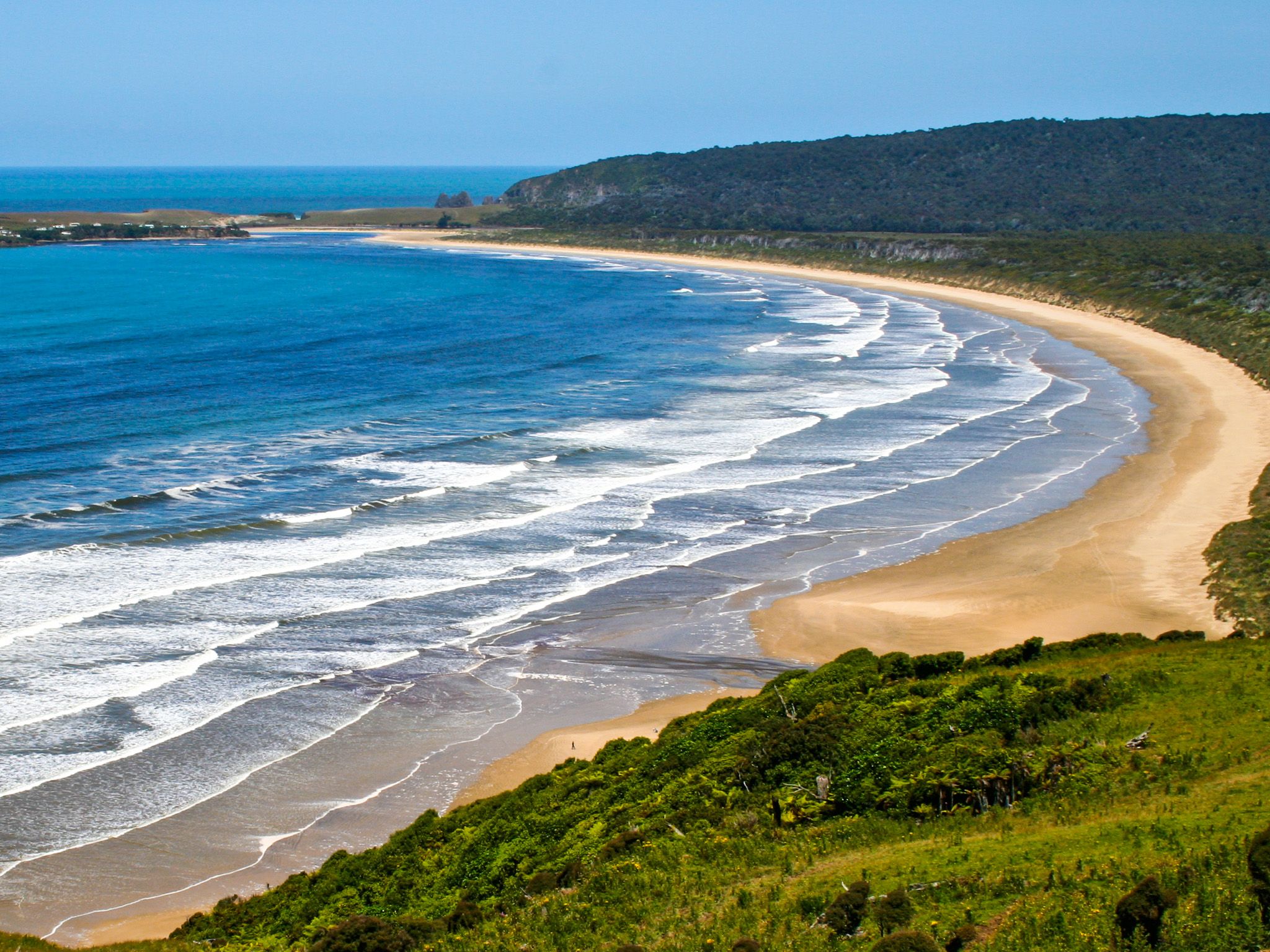
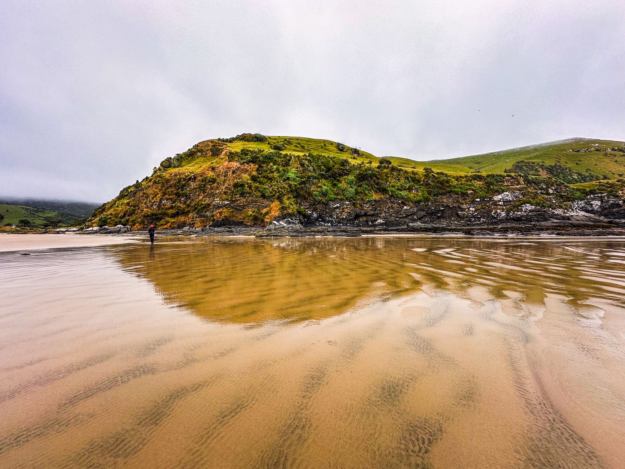
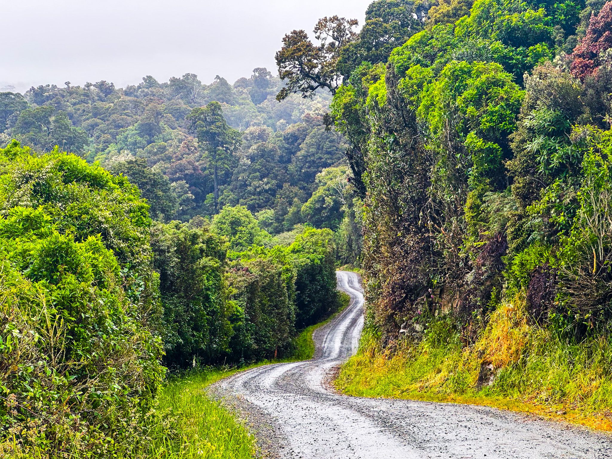
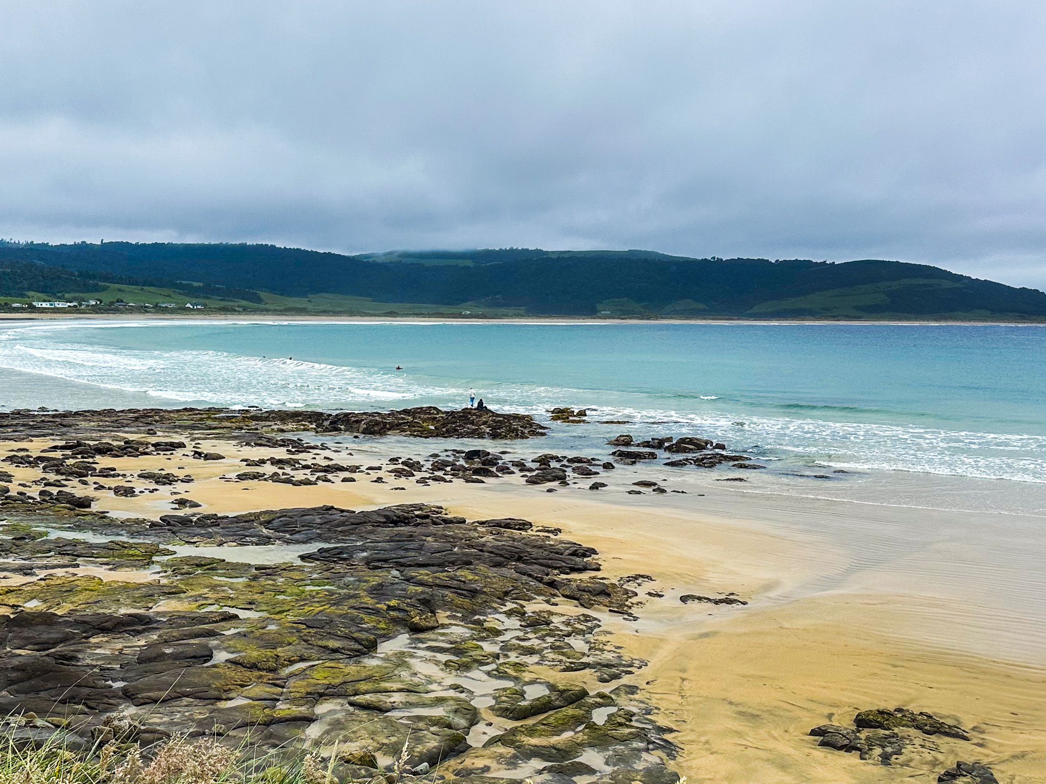
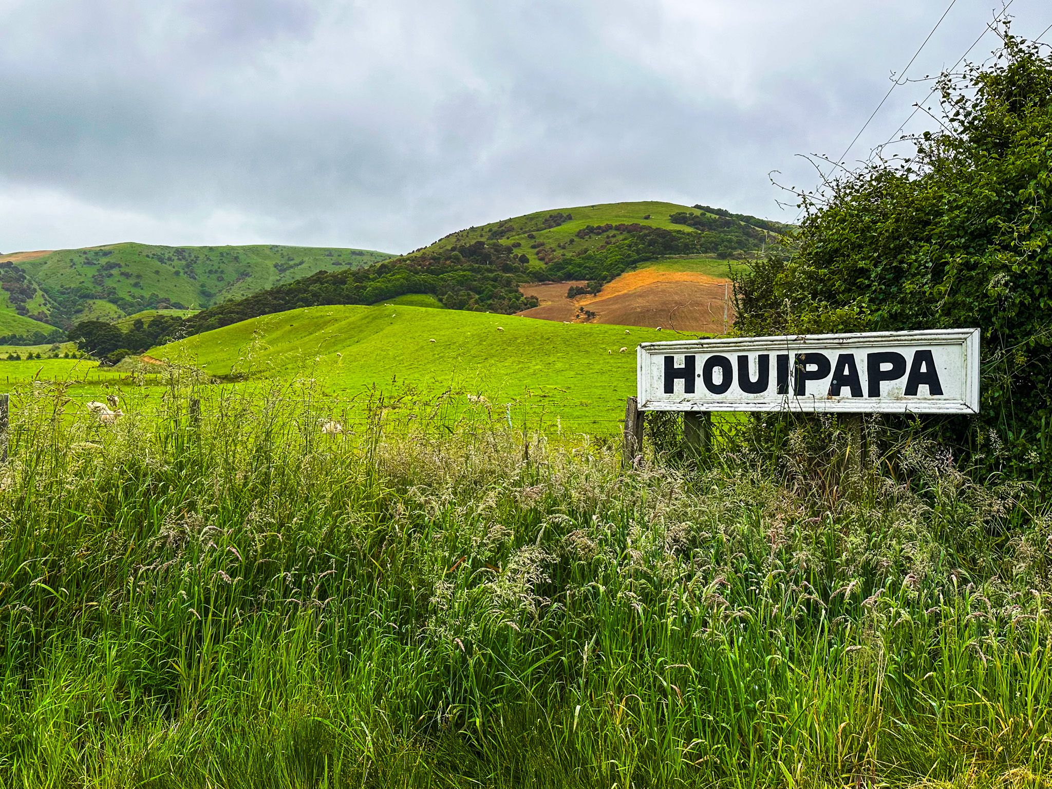
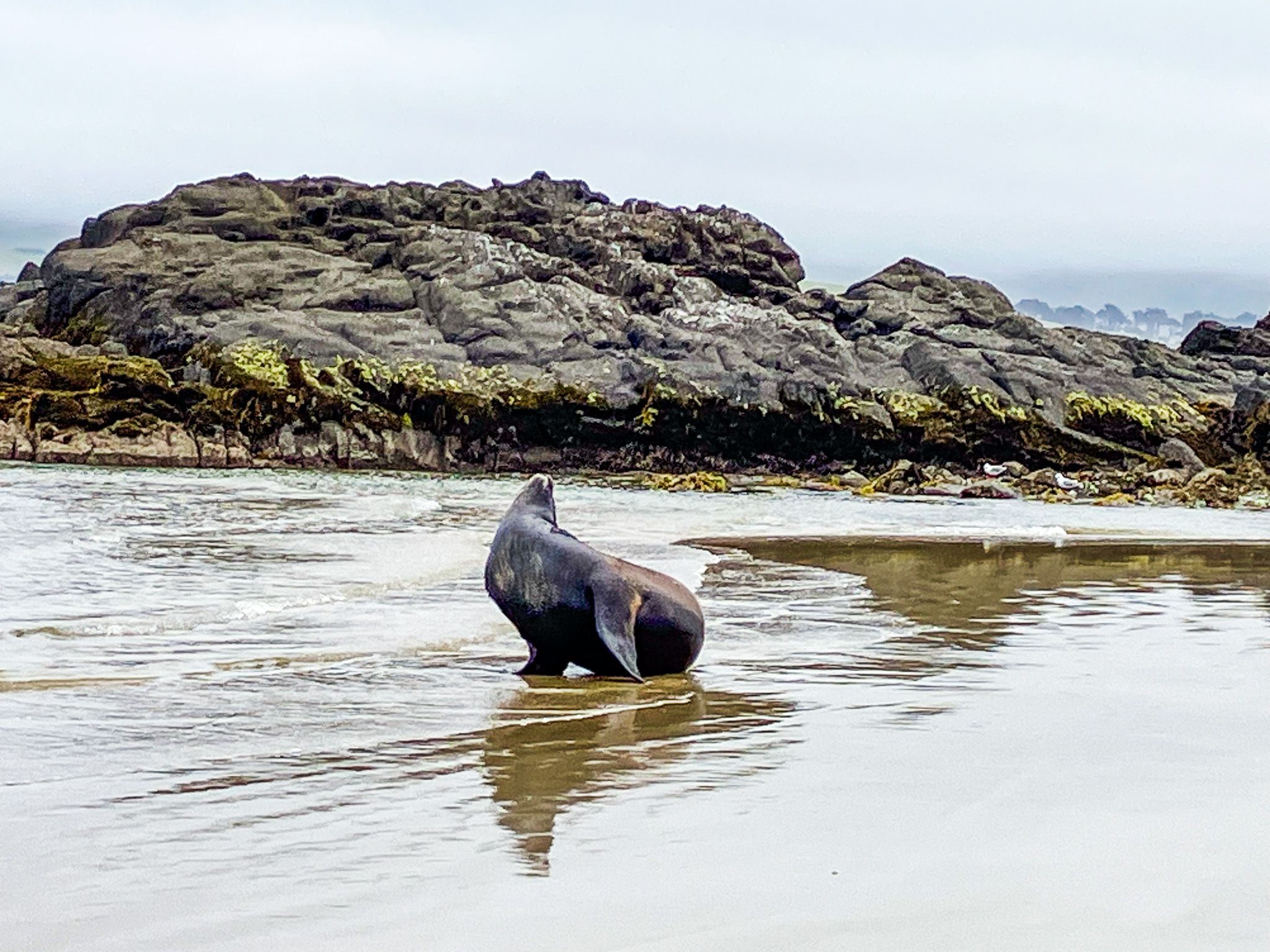
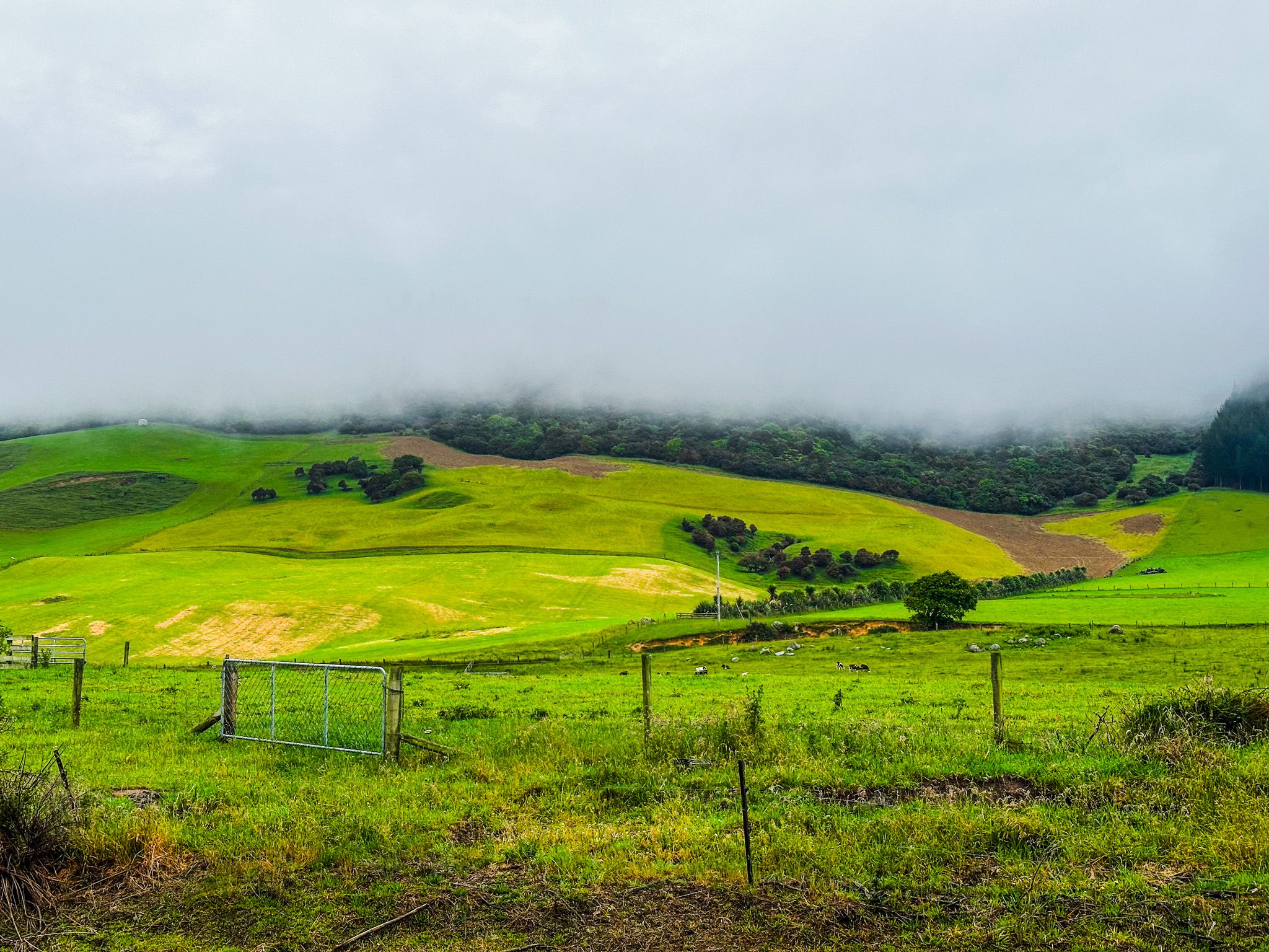
The Catlins, located in the southeastern corner of the South Island, spans the regions of Otago and Southland. This area is known for its remote gravel roads, lush rural landscapes, and golden sand beaches. The Catlins is a haven for wildlife enthusiasts, offering the chance to see pakake (sea lions), kekeno (fur seals), hoiho (yellow-eyed penguins), and dolphins. The region also includes the expansive 53,000-hectare Catlins Conservation Park, established in 1975.
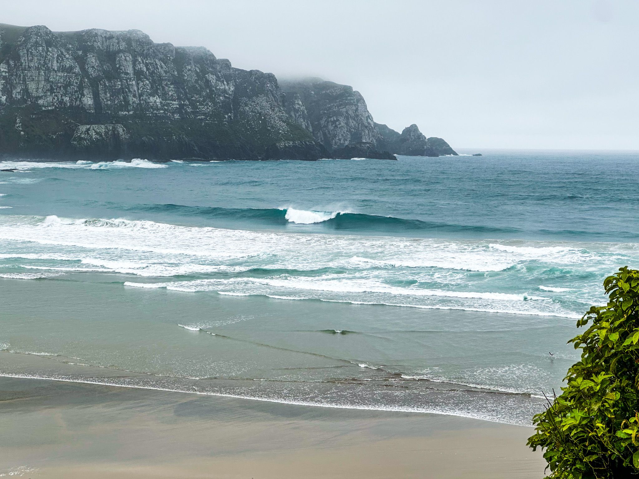
While the area is not ideal for a typical beach holiday due to its strong southerly winds, it is an excellent region for those interested in exploring rugged natural beauty, away from the crowds. It is also rated amongst surfers.
Attractions on the Southern Scenic Route
The Catlins is a 120-kilometre section of the Southern Scenic Route, stretching between Balclutha and Fortrose. This route is dotted with numerous attractions and activities, with many more accessible via short side trips. Owaka, a small town 4 kilometres from the coast and located in the northeast, is the only town with significant services. It is an excellent base for exploring the area, and you should plan and book dining options in advance if you rely on restaurants.
Clusters of Activities and Natural Wonders
Most journeys through the Catlins begin from the north and head south. The region can be divided into clusters of activities, each within a short 5 to 20-minute drive. Most walks are easy and take from 30 to 40 minutes to complete. While you can visit the main attractions in two days, a week allows for a more leisurely exploration.
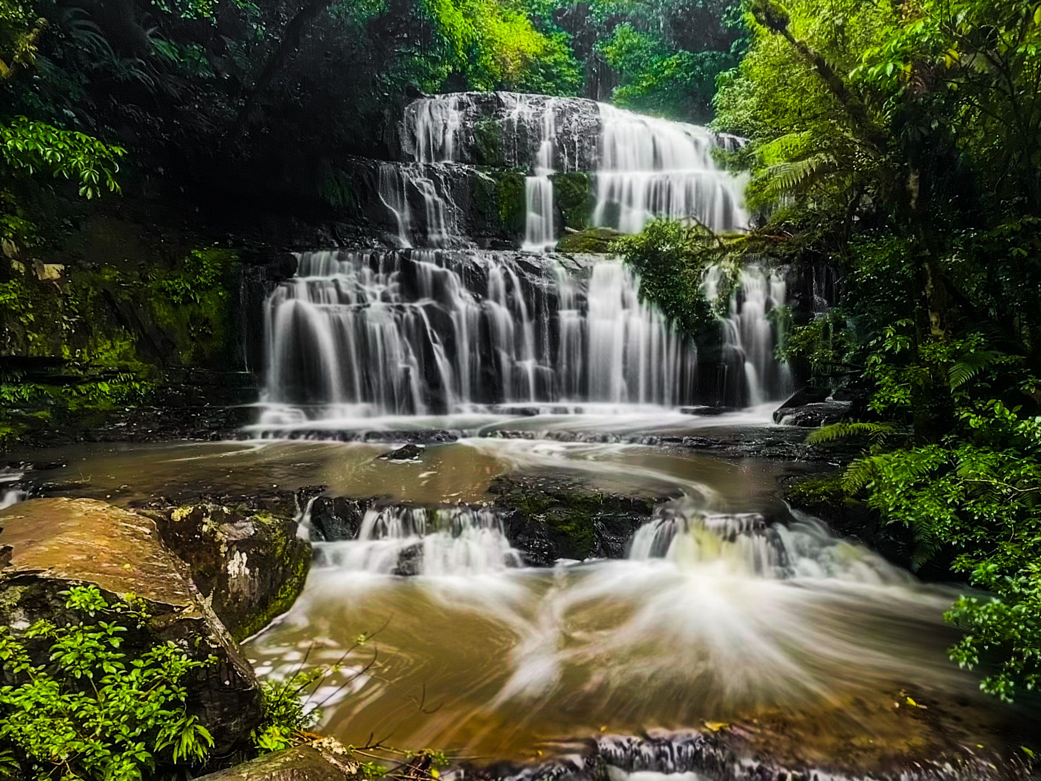
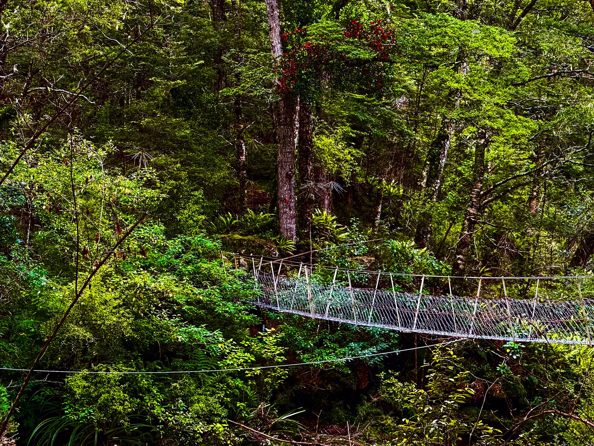
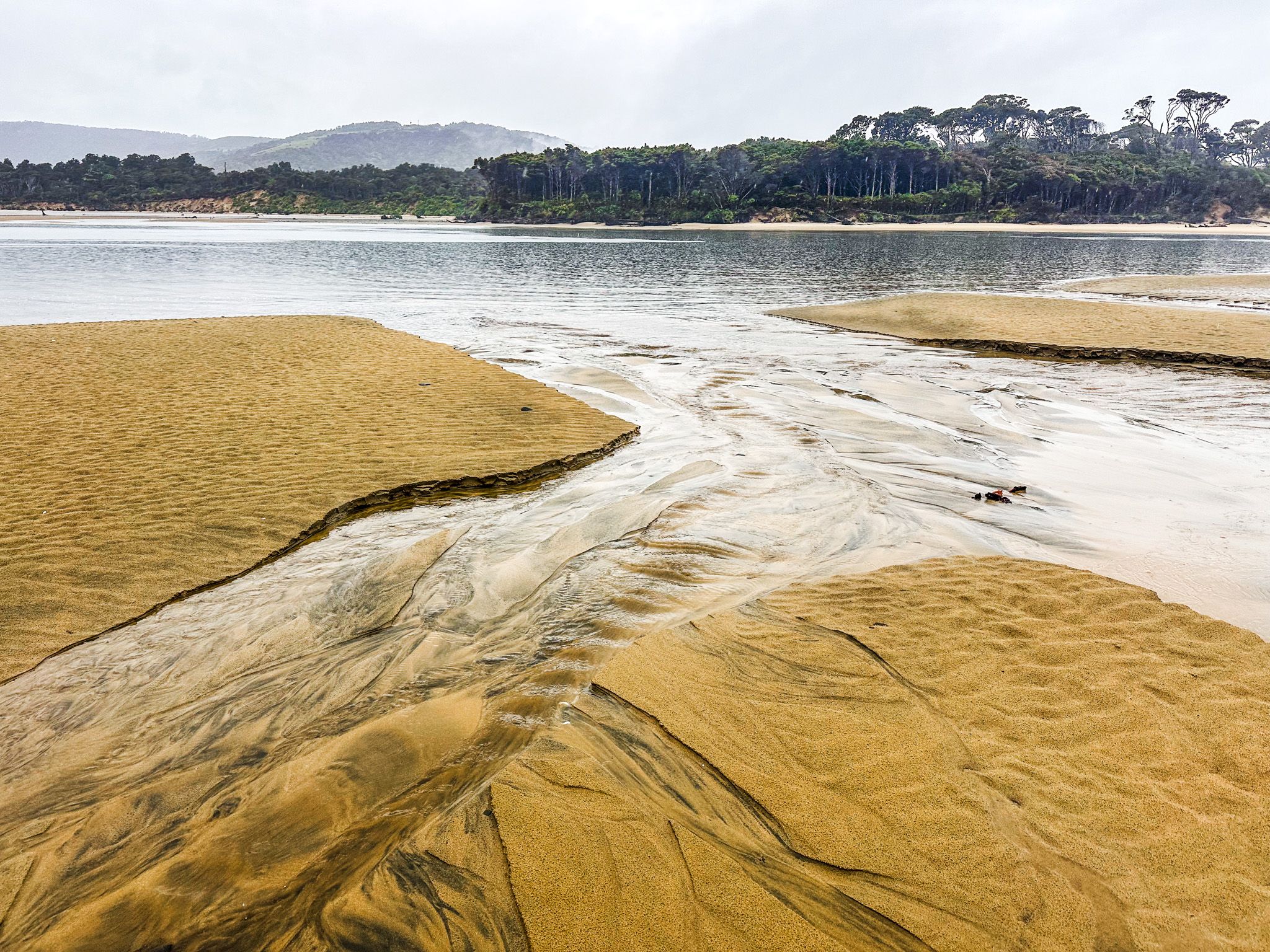
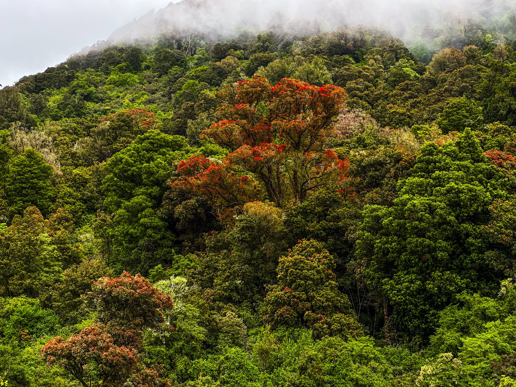
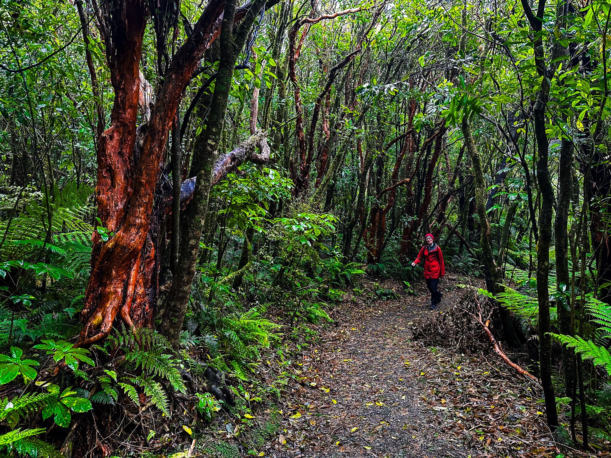
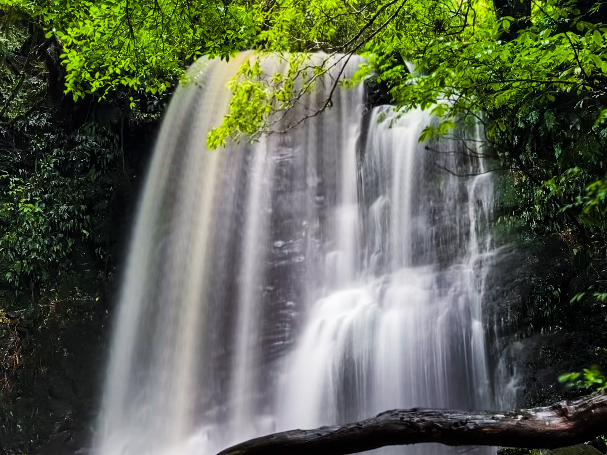
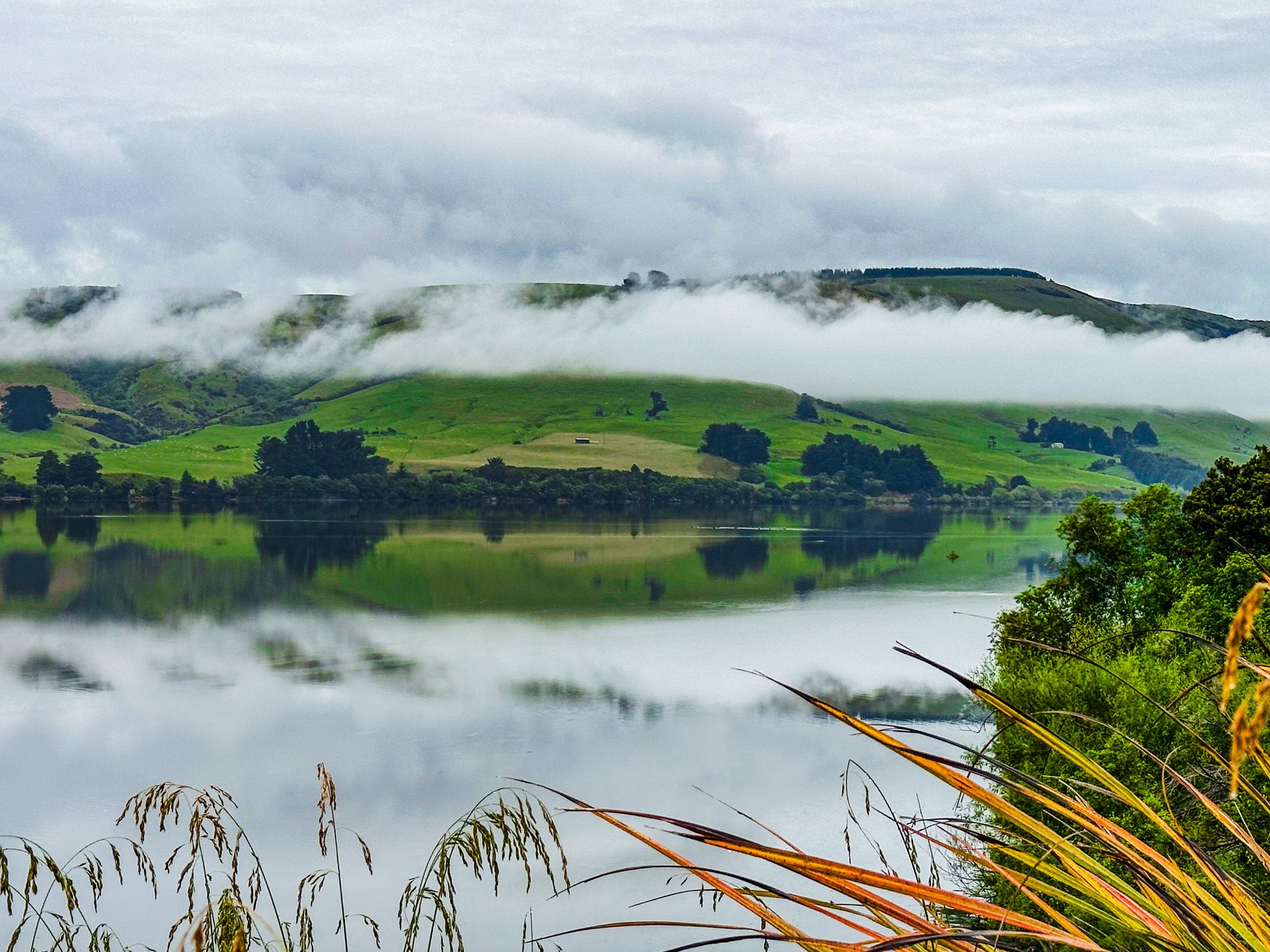
Starting from Balclutha, the first cluster of activities is centred around Owaka. Owaka has several eateries, a small supermarket, and shops. Nearby, you can visit Kaka Point and Nugget Point, as well as the remote beaches of Cannibal Bay, Surat Bay, Pūrākaunui Bay, and Helena Falls Beach. The Catlins River estuary, Catlins Lake, and the Catlins River Walk are also nearby. Within a 20-minute drive, you can explore Barrs Falls, the impressive Pūrākaunui Falls, and Matai Falls. These areas provide excellent opportunities to experience the region's temperate rainforests. Camping options are available at Kaka Point, Tawanui, Pounawea and Pūrākanunui Bay. Owaka has freedom camping for self-contained vans.
Papatowai and Surrounding Attractions
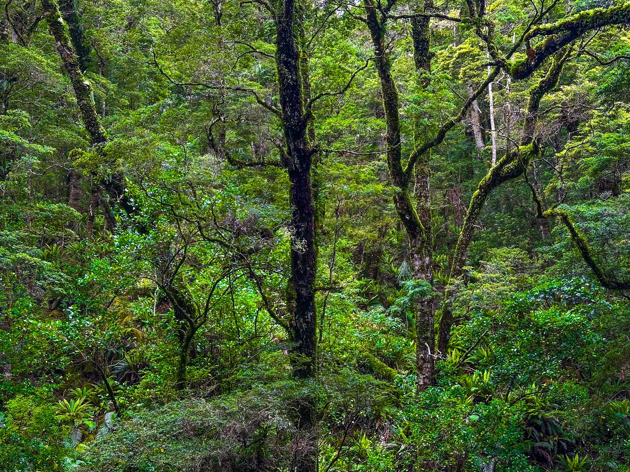
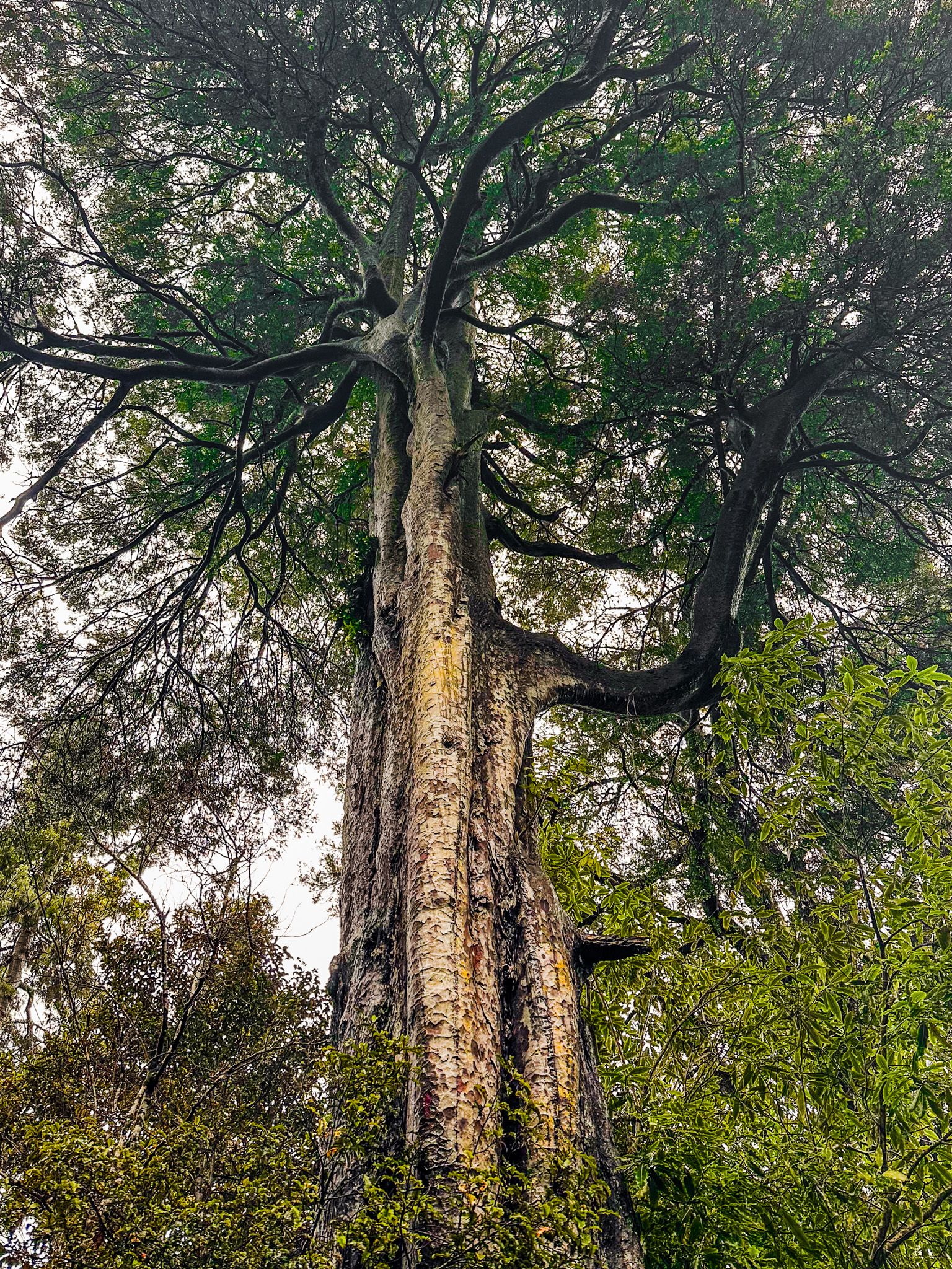
A second cluster of activities is near Papatowai, a small holiday township 26 minutes from Owaka. Located on the southwest side of the Tahakopa River Estuary, Papatowai offers access to Tahakopa Bay via an easy 20-minute walk. The area is known for its ancient trees and golden sand beaches. The Lost Gypsy Gallery and coffee caravan in Papatowai add a quirky touch to the region. The township also has public toilets, a campground, and a daytime café/store.
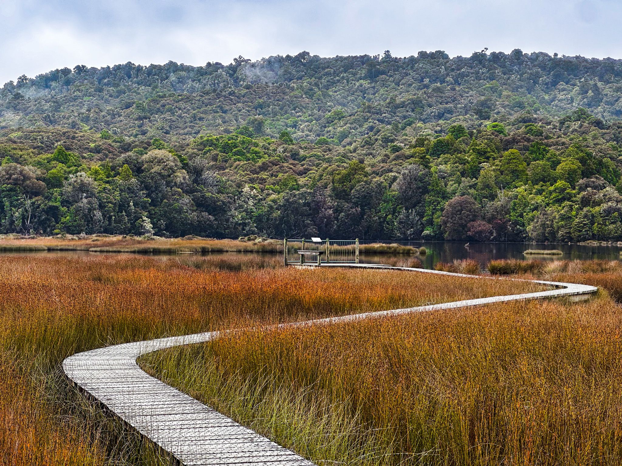
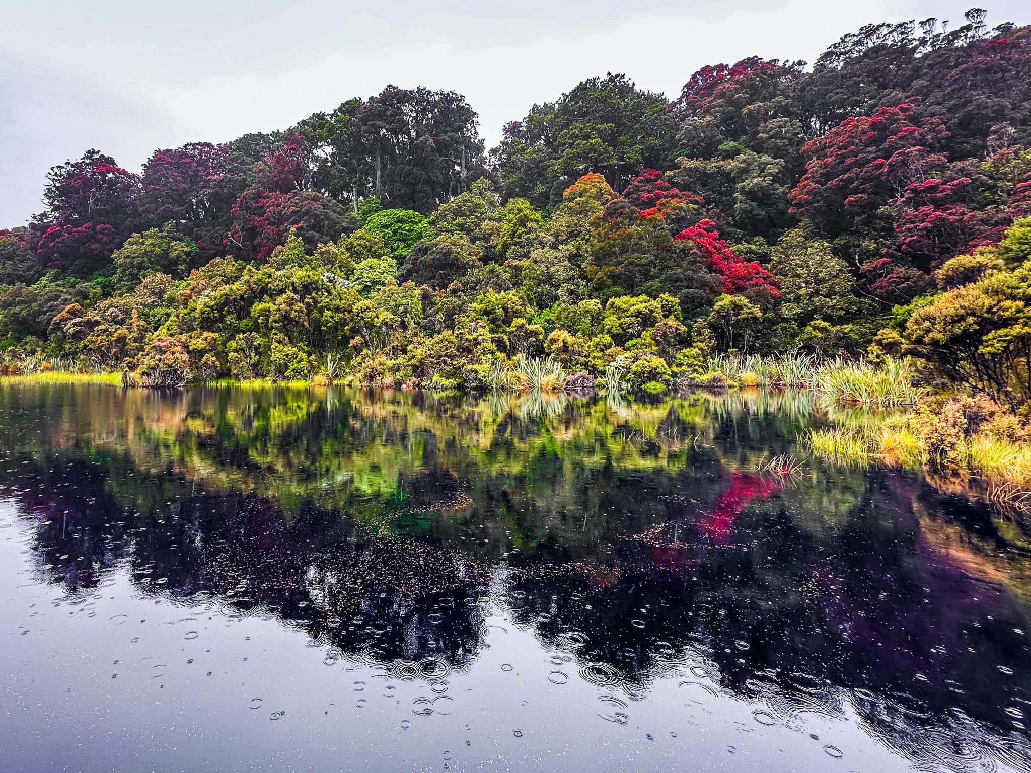
Southwest of Papatowai, Tautuku Bay features stunning golden sand beaches and rainforest walking tracks. The view from Florence Hill is spectacular, and road access to the beach is available. The Tautuku Bay Nature Walk and Lake Wilkie Walk are highlights, offering views of ancient trees and a reflecting lake. The Tautuku Estuary Walk showcases a variety of rushes, and the nearby Forest and Bird Lenz Reserve provides insight into human impact on the forest.
Cathedral Caves and Beyond
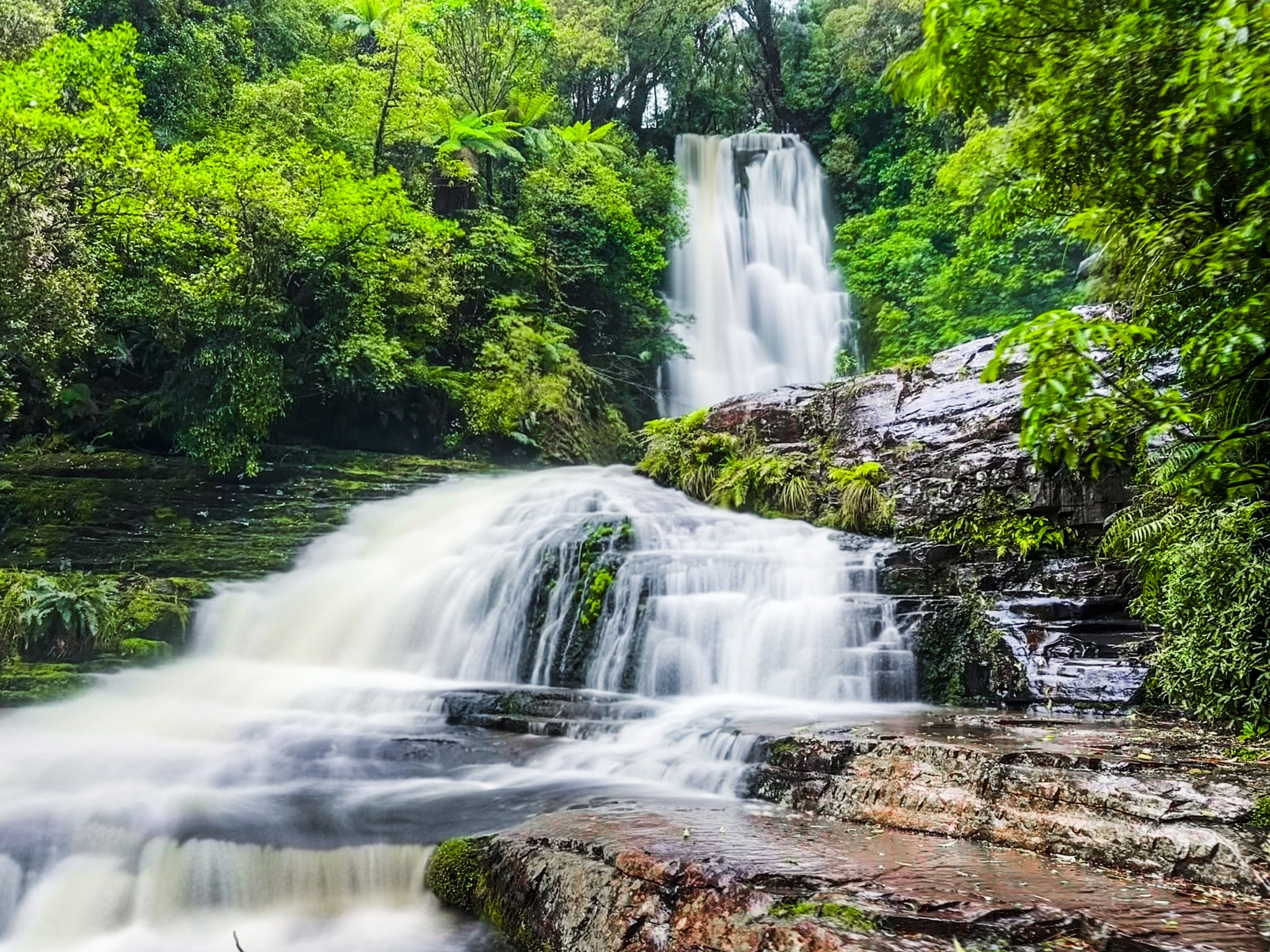
Continuing southwest, you will find the access road to Cathedral Caves, which are tide-dependent and require a modest entrance fee. Nearby, Rewcastle Road leads to Mclean Falls, with each walk taking about 40 minutes. A campground and restaurant are located at the start of the Mclean Falls access road.
Further along, you can explore Koropuku Falls, Niagara Falls, historic Waikawa, and Porpoise Bay, known for its dolphins. Curio Bay is famous for its 180-million-year-old tree fossils and a well-situated campground. Nearby, the Waipohatu Waterfall Track offers a longer walk of up to three hours, while Slope Point and Waipapa Point are known for their wind-blasted trees. From here, it is 66 kilometres to Invercargill.
Historical Insights
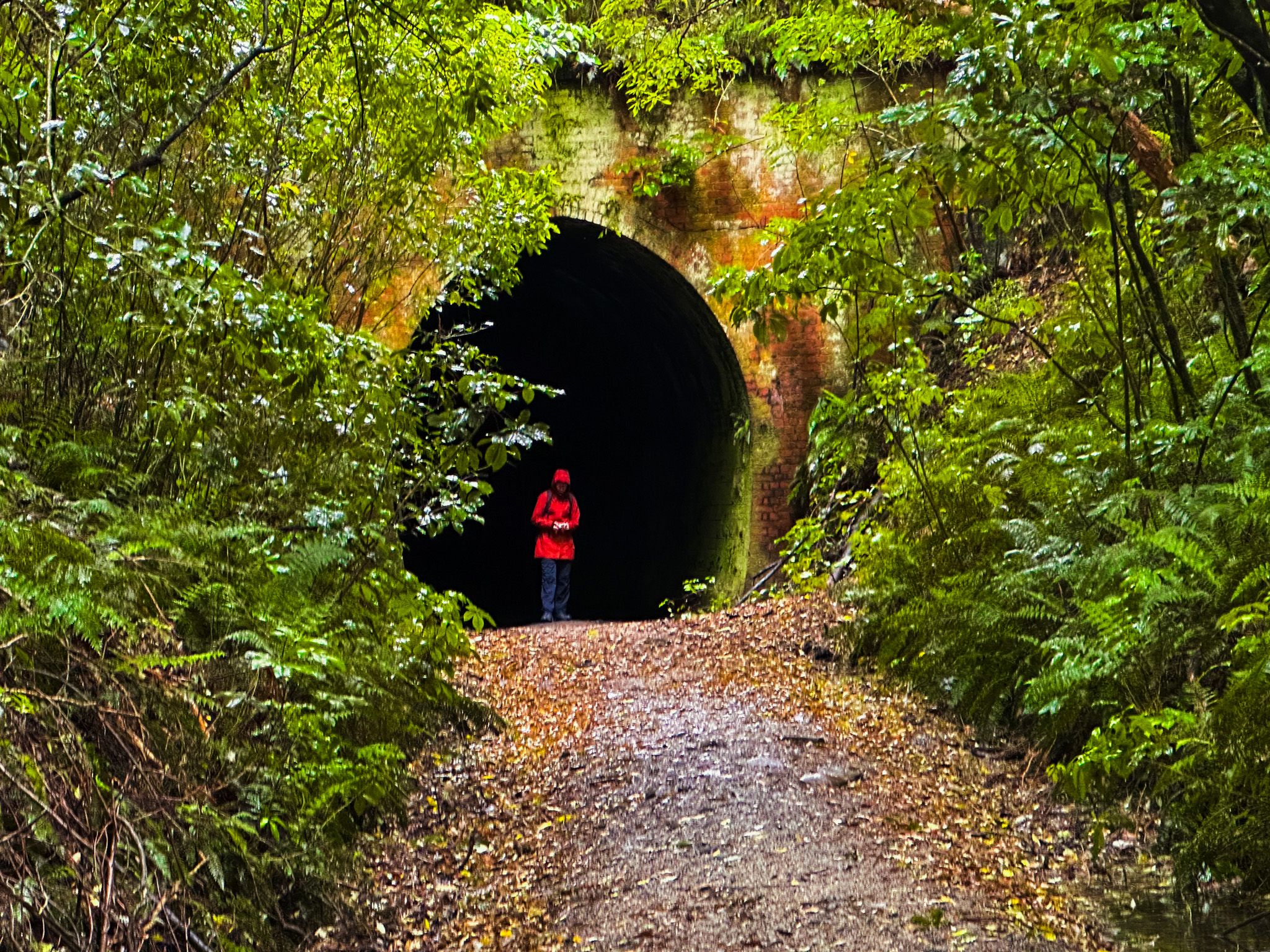
The Catlins is rich in history, with Māori presence dating back to the moa hunter era (pre-1600). European settlers engaged in sealing, whaling, and forestry before sheep farming became prevalent. Fortunately, much of the forest was preserved and is now protected. The area is also known for its shipwrecks, including New Zealand's worst loss of life in 1881 at Waipapa Point. A railway line once connected Owaka to Tahakopa, and remnants can be seen along the Catlins Rail Trail and Tunnel Hill Walk.
Getting to The Catlins
From Dunedin, Owaka is an 85-minute drive, 110 km, mostly on State Highway 1 to Balclutha. From Balclutha, follow the Owaka Highway (Southern Scenic Route) to Owaka. From Invercargill, it is 40 minutes and 36 km to Fortrose on Gorge Road Invercargill Highway, which becomes Tokanui Gorge Road Highway.
