Curio Bay: A Geological and Wildlife Haven
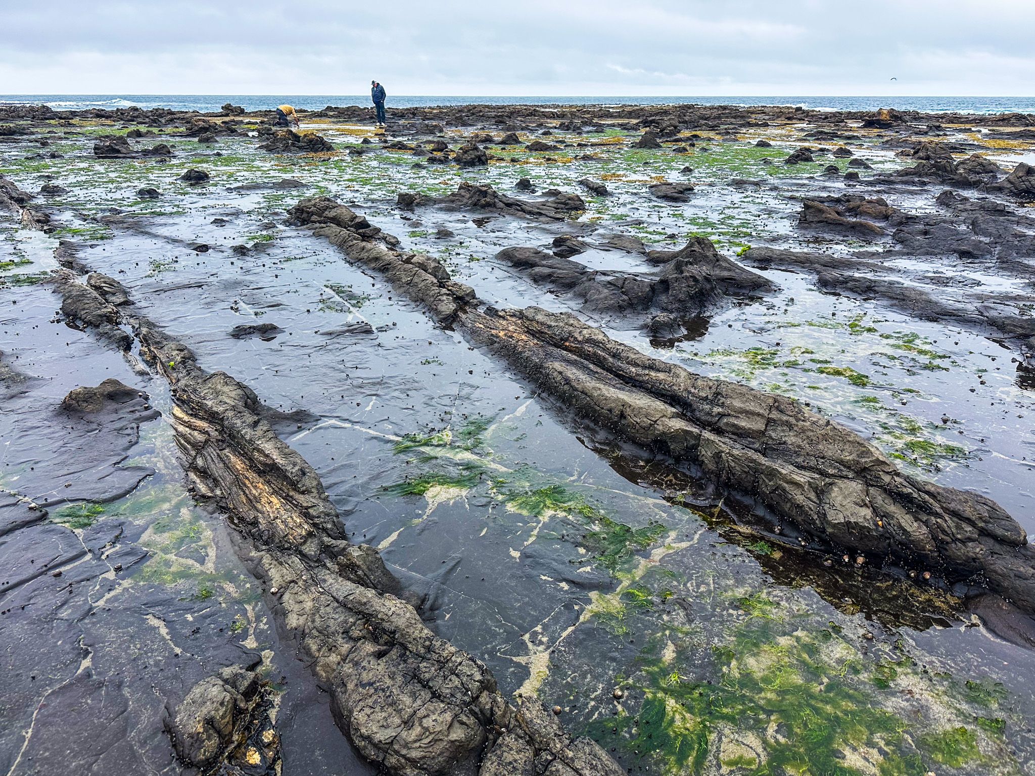
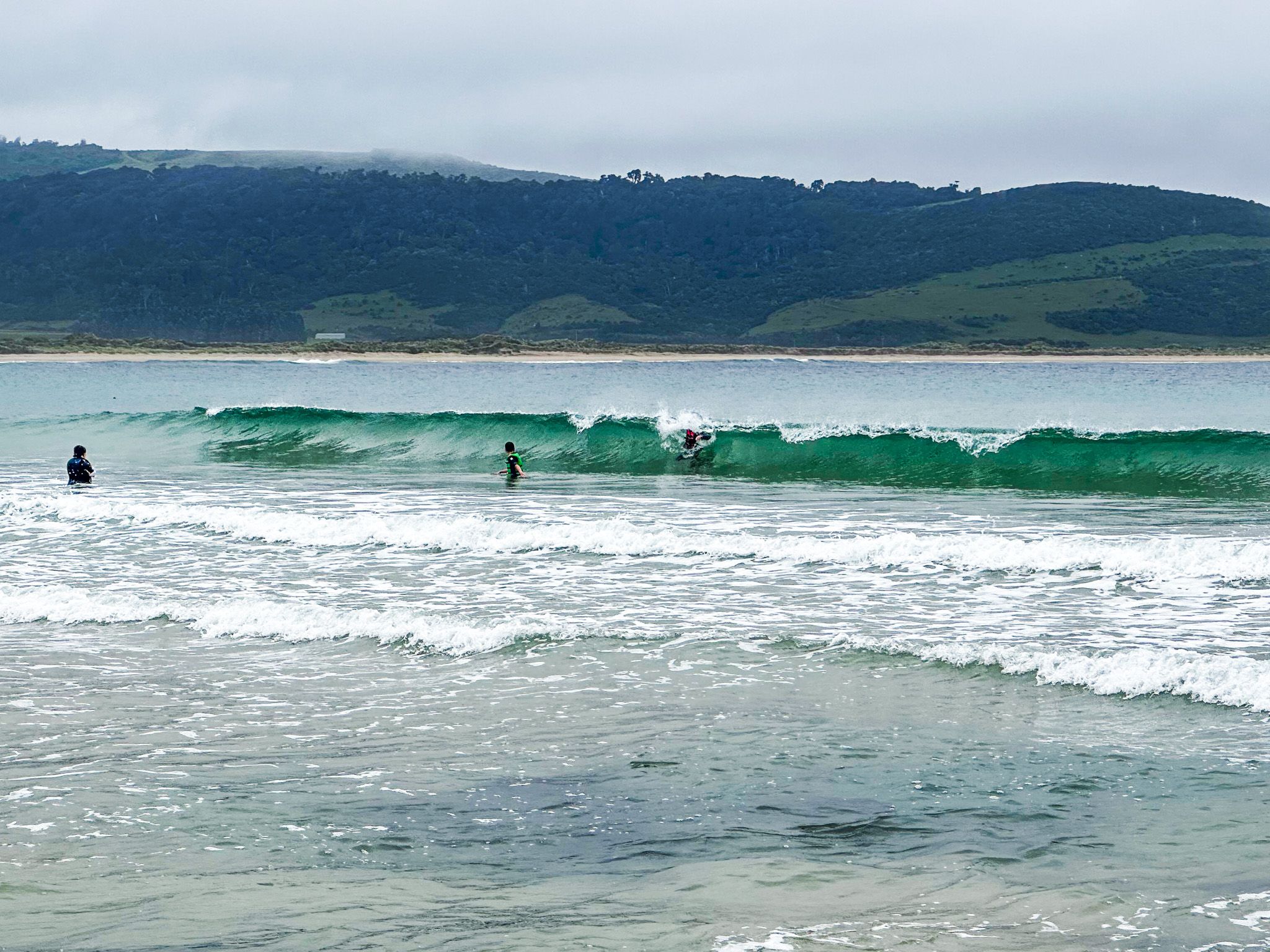
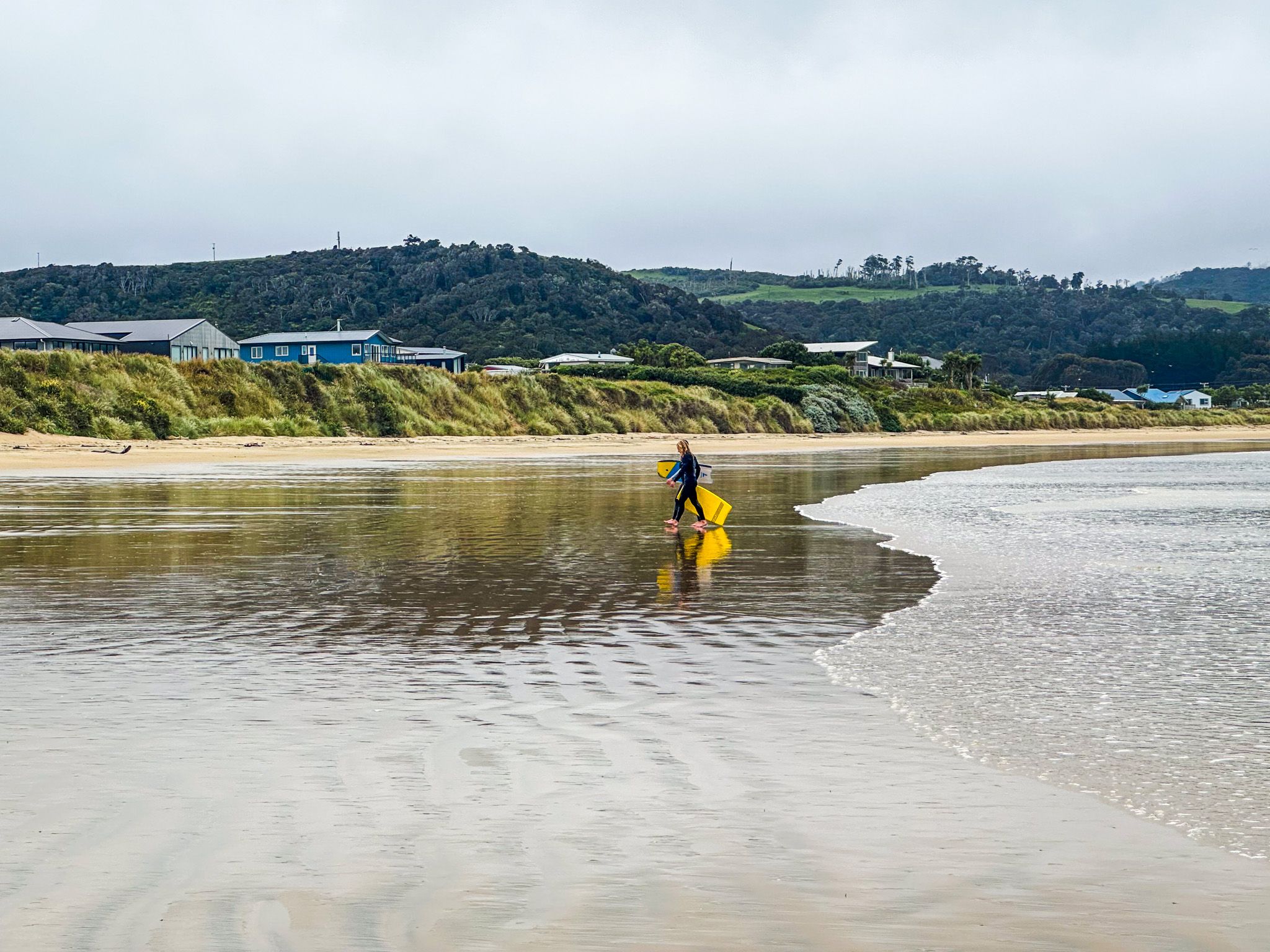
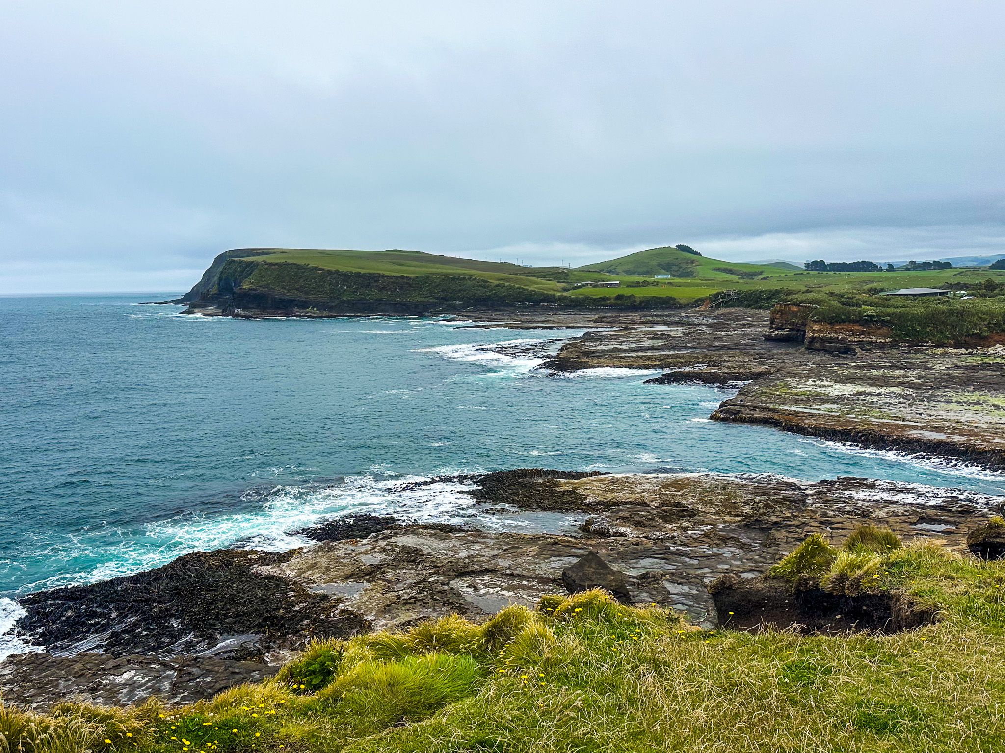
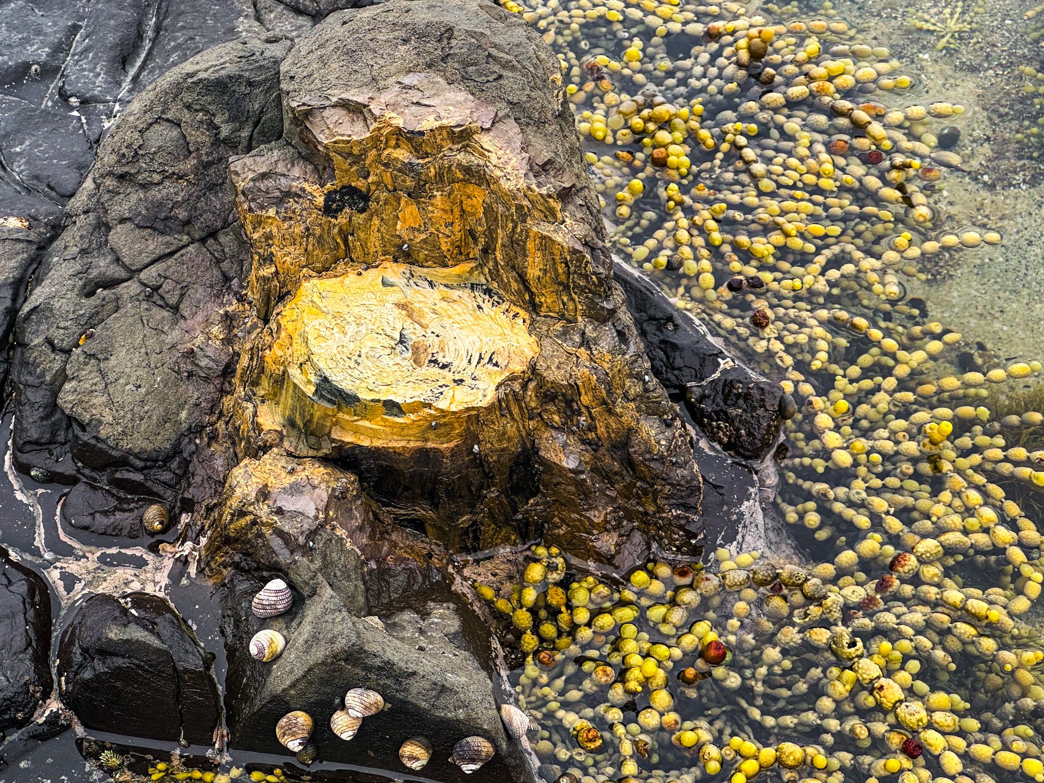
Curio Bay, located on the Pacific coast in the southwestern part of the Catlins in the South Island, is a must-visit destination for those exploring the region. This area is known for its 180-million-year-old petrified forest, which offers a rare glimpse into ancient natural history. Additionally, Porpoise Bay provides a unique opportunity to swim with Hector's dolphins, while South Head has breathtaking cliff-top views. The area is also home to hoiho (yellow-eyed penguins) and features a remnant coastal rainforest with a walking track. A large commercial campground is situated between Curio Bay and Porpoise Bay.
Discovering Curio Bay's Attractions
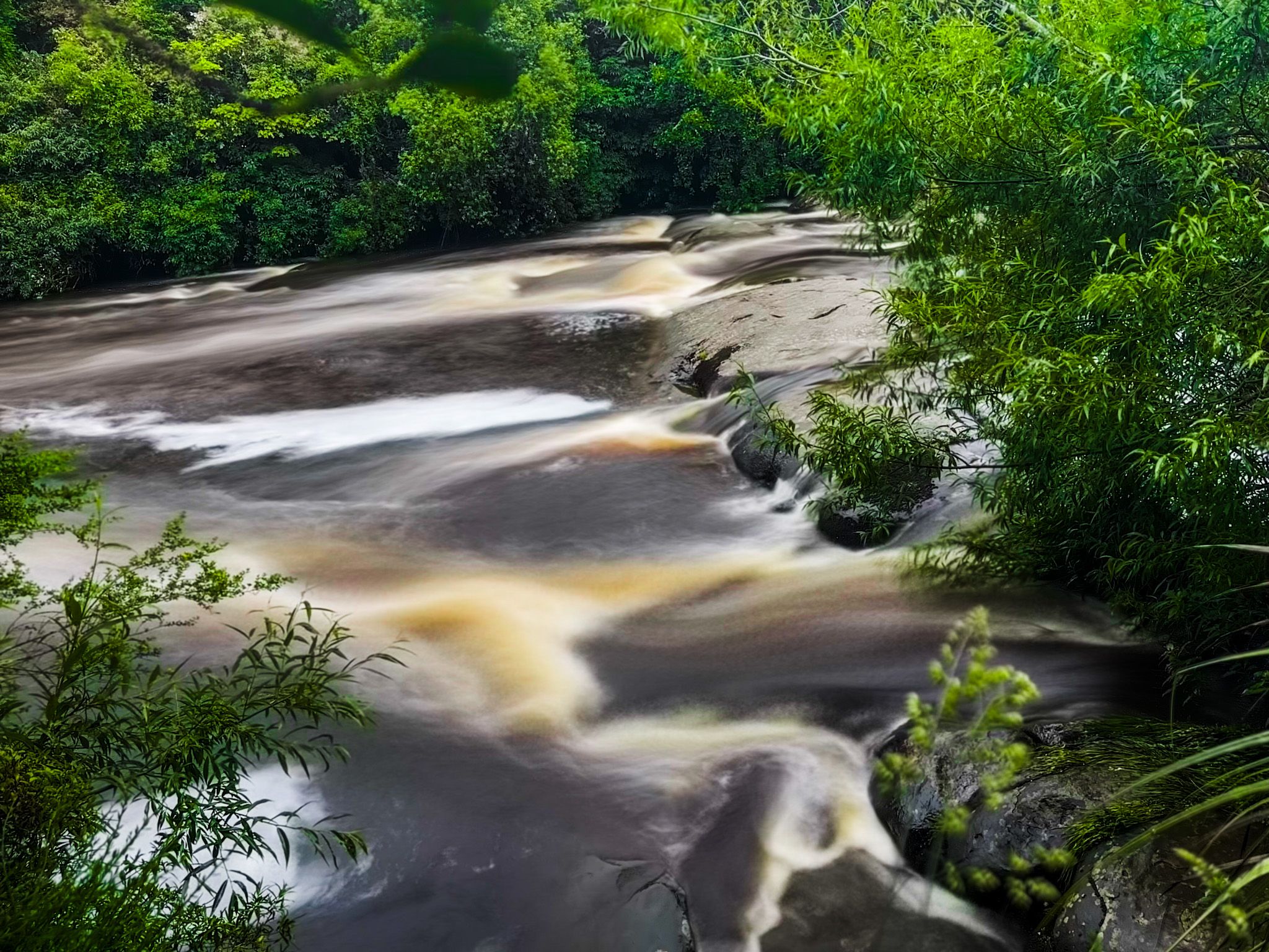
As you travel along the Southern Scenic Route, turn south towards Niagara and Waikawa. The name Niagara humorously refers to a modest waterfall on the Waikawa River, near which you will find a pleasant café. Continuing south, the road skirts the edge of Waikawa Harbour, a tidal estuary, before reaching the small township of Waikawa.
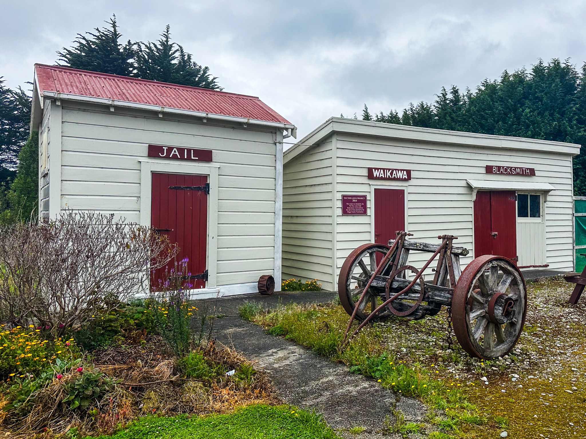
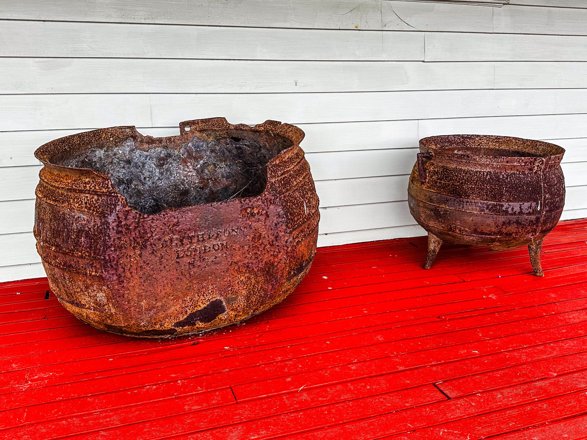
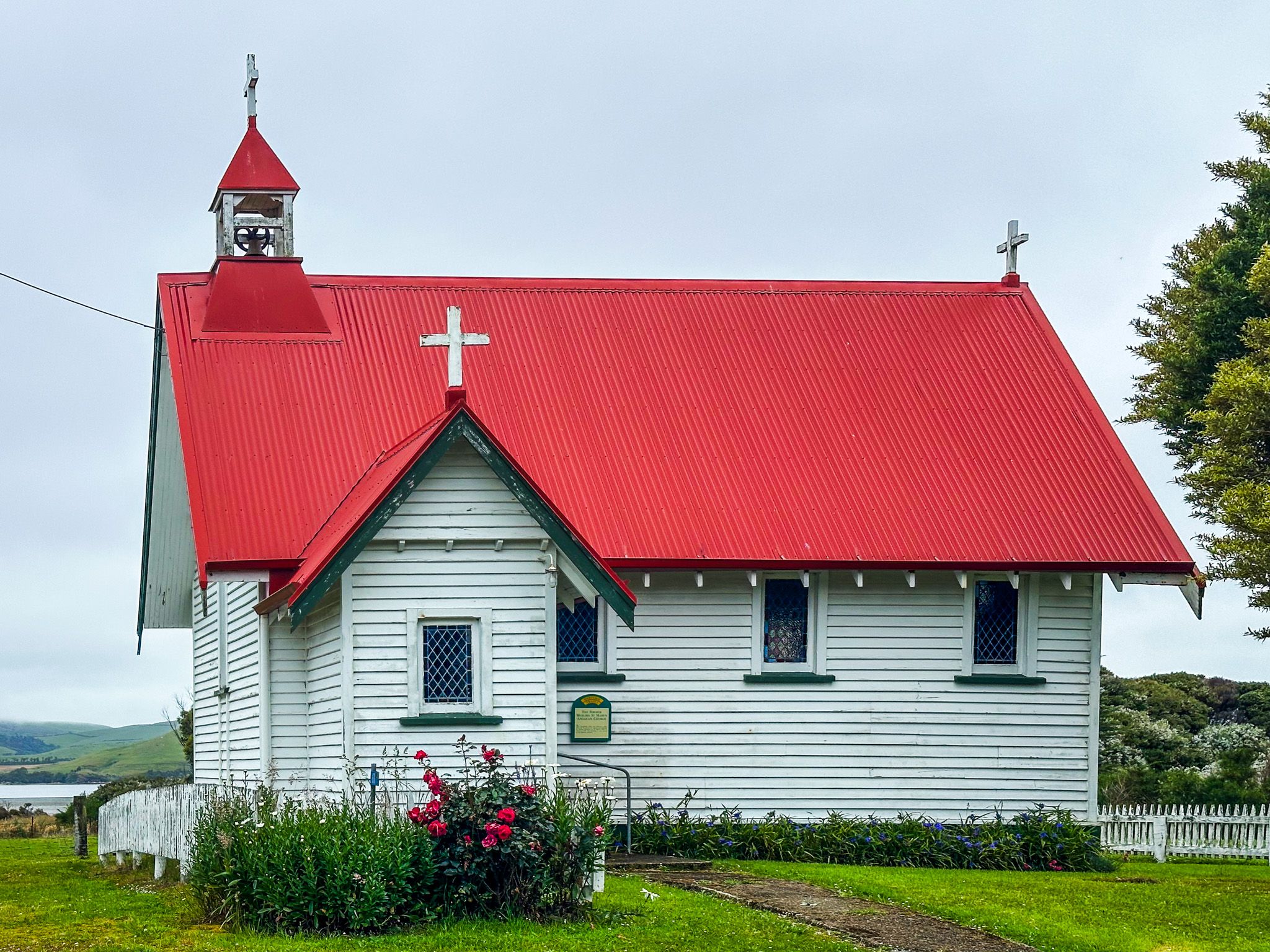
Historically, this area was significant for sealing and whaling, with a small Māori community present when Europeans arrived. Waikawa quickly developed into a major port for timber shipping to Dunedin, although its prominence was short-lived due to the rise of Fortrose and the development of railway lines. You can explore this rich history at the local museum and information centre, housed in the old schoolhouse and an attractive church building.
Exploring the Fossils and Wildlife
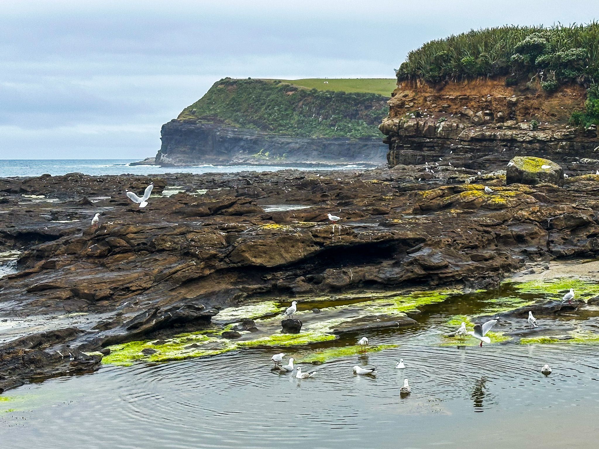
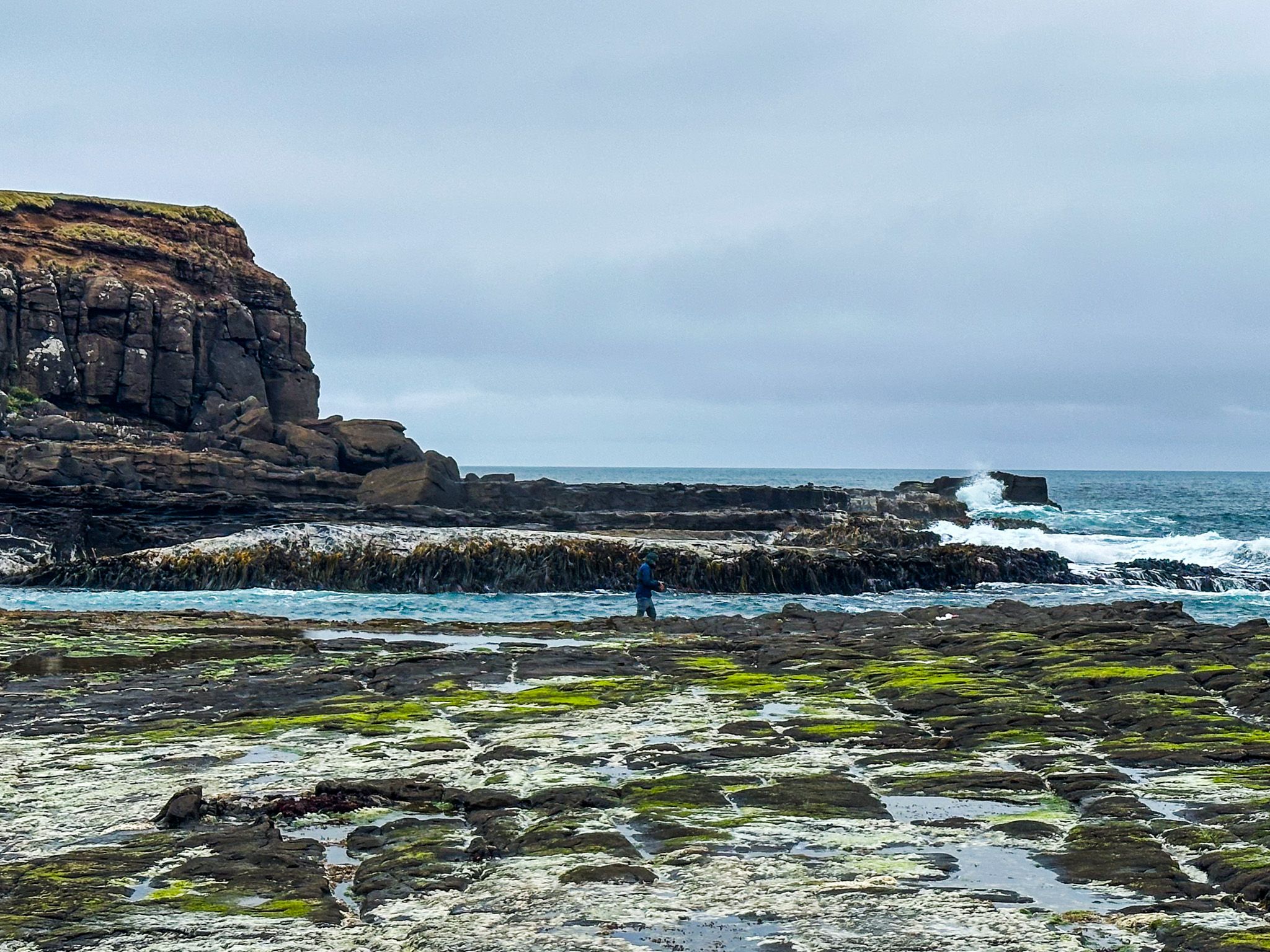
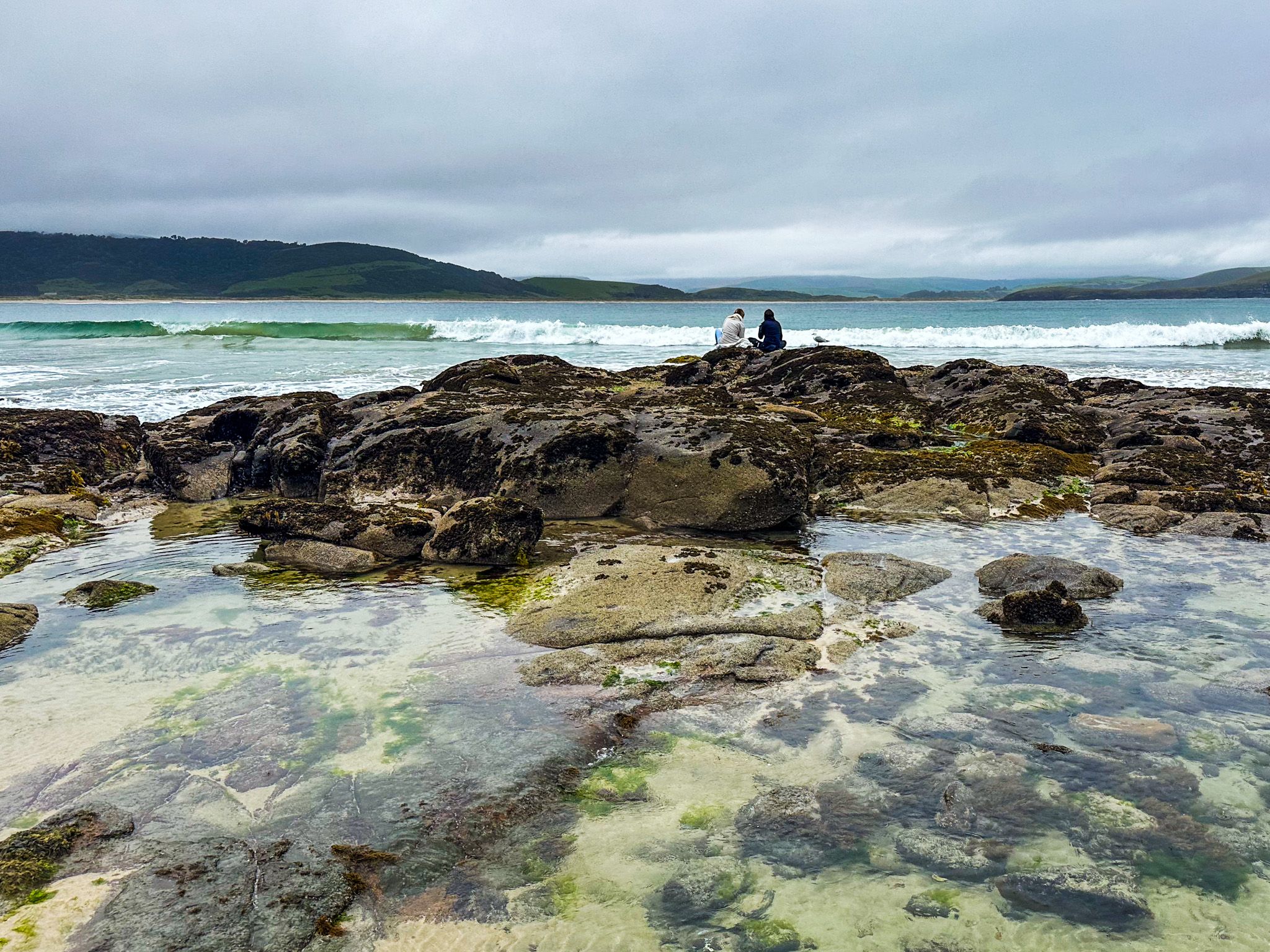
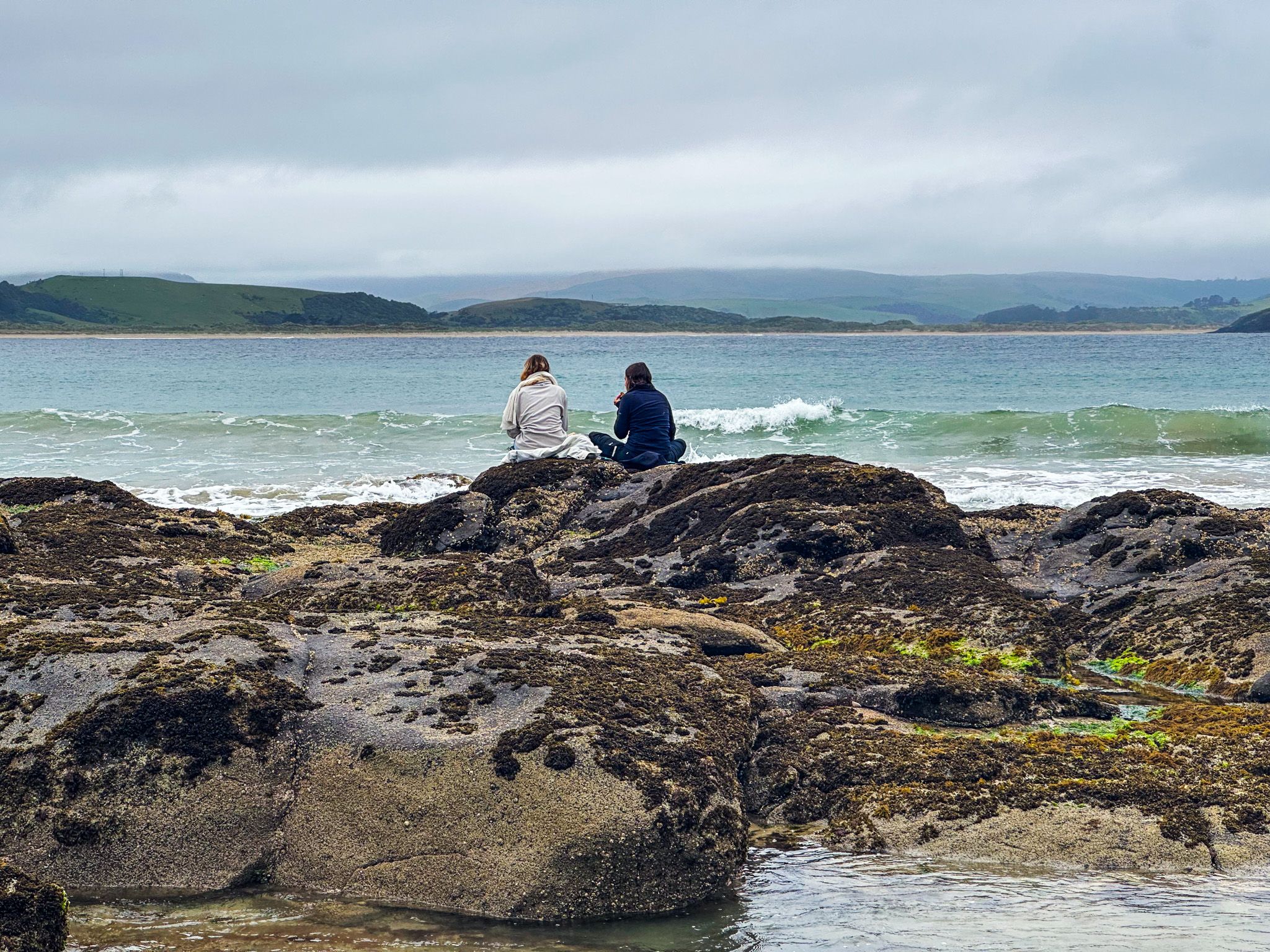
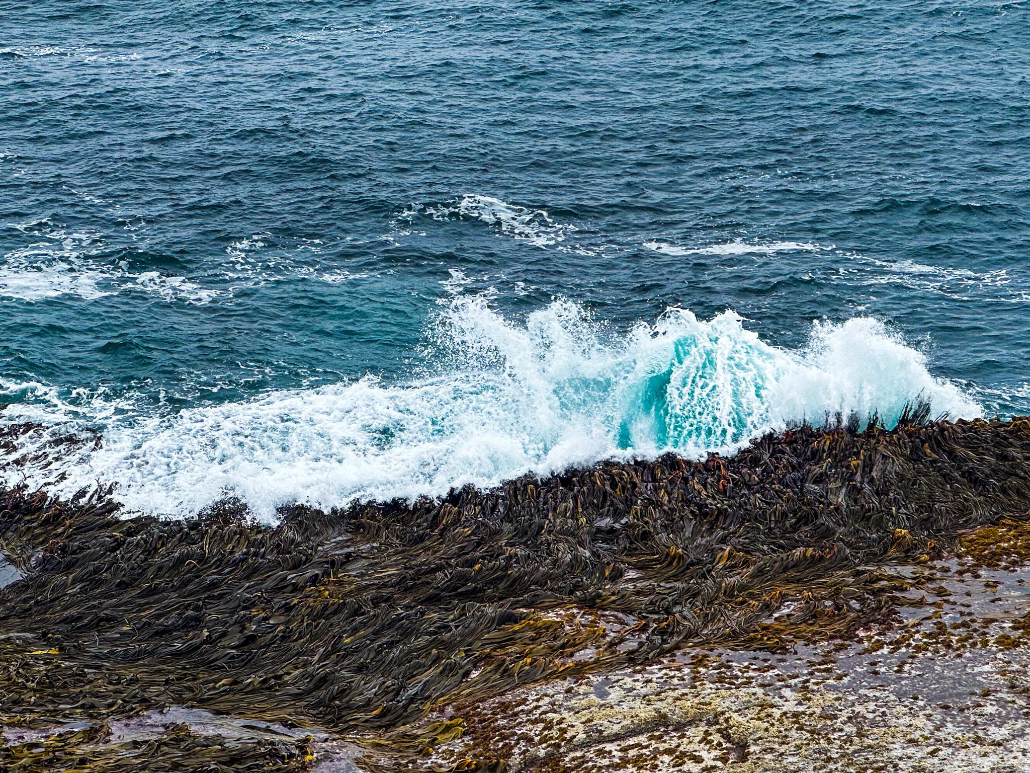
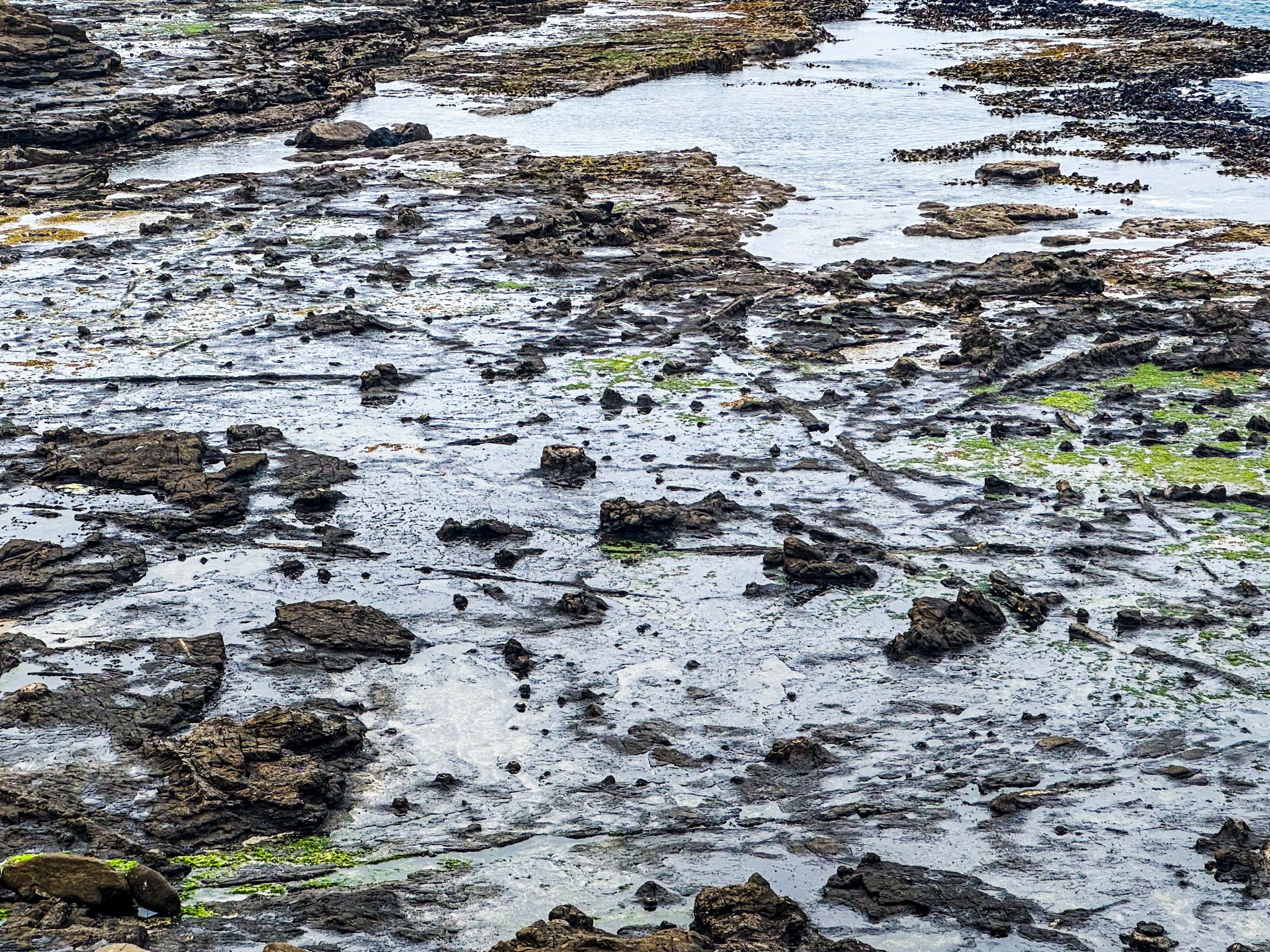
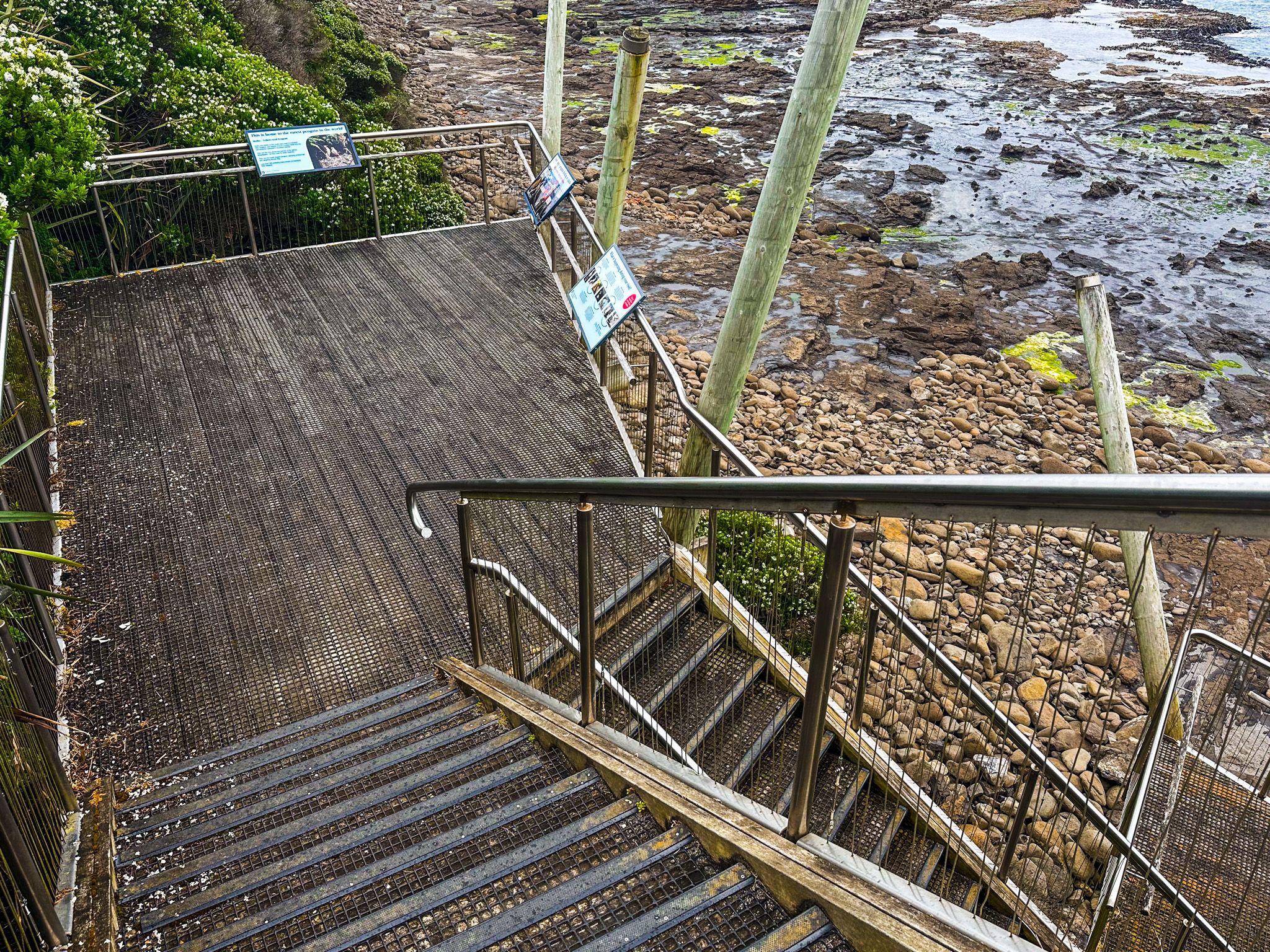
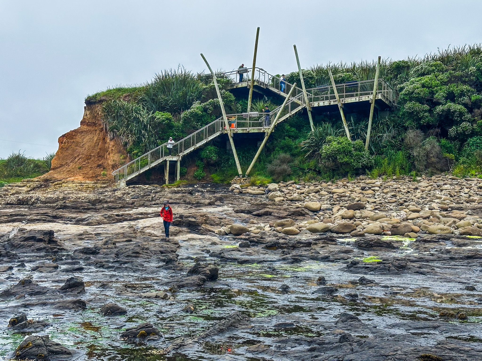
The west end of Curio Bay is home to the remarkable petrified forest, accessible via a staircase with viewing platforms down the cliffside. Located about 100 metres west of the campground reception and café, the tidal rock platform reveals petrified logs and mound-shaped rock formations that may be tree stumps or branches as the tide retreats. Opposite the fossil access path, you'll find the entrance to a short coastal rainforest walk.
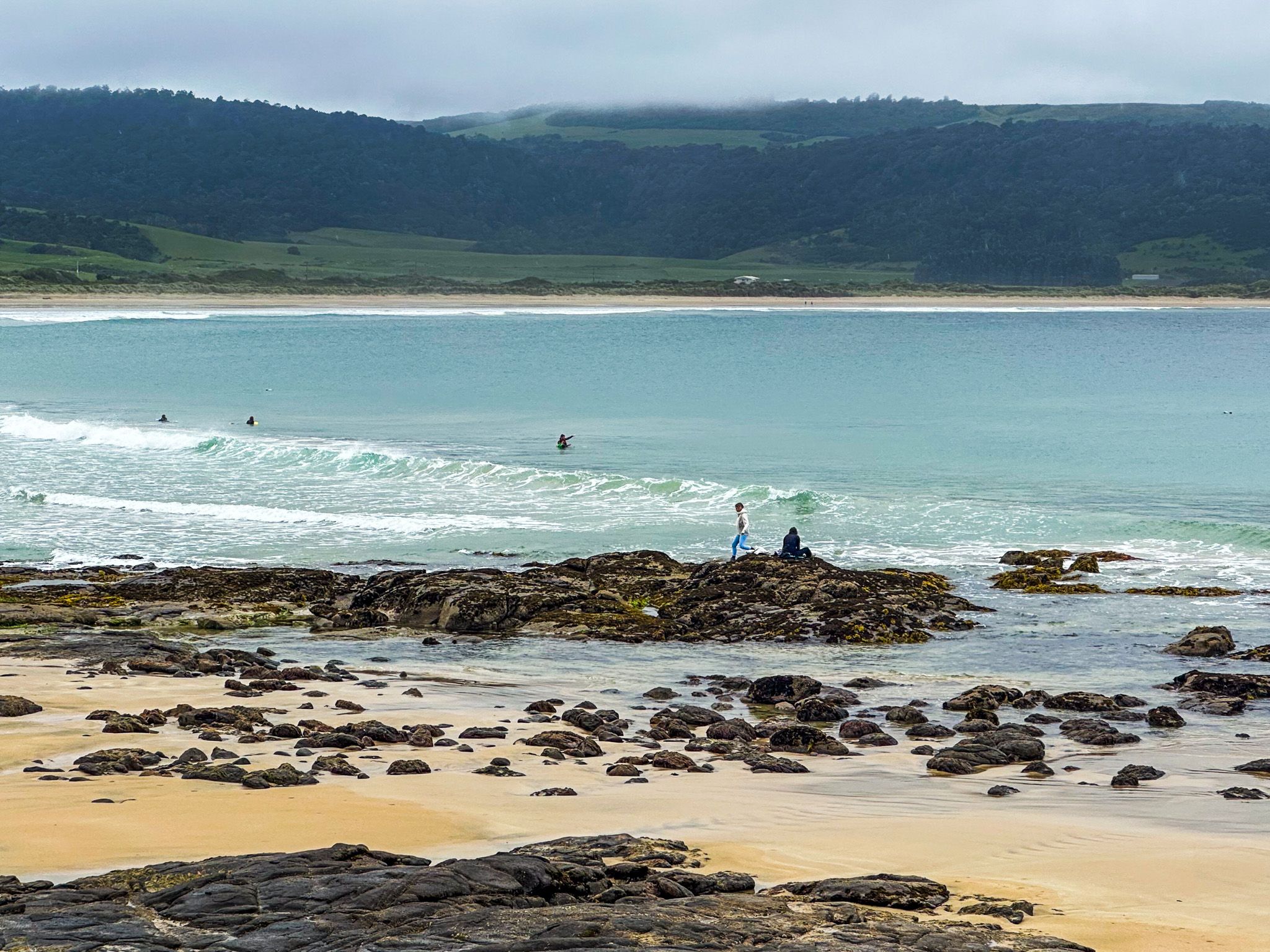
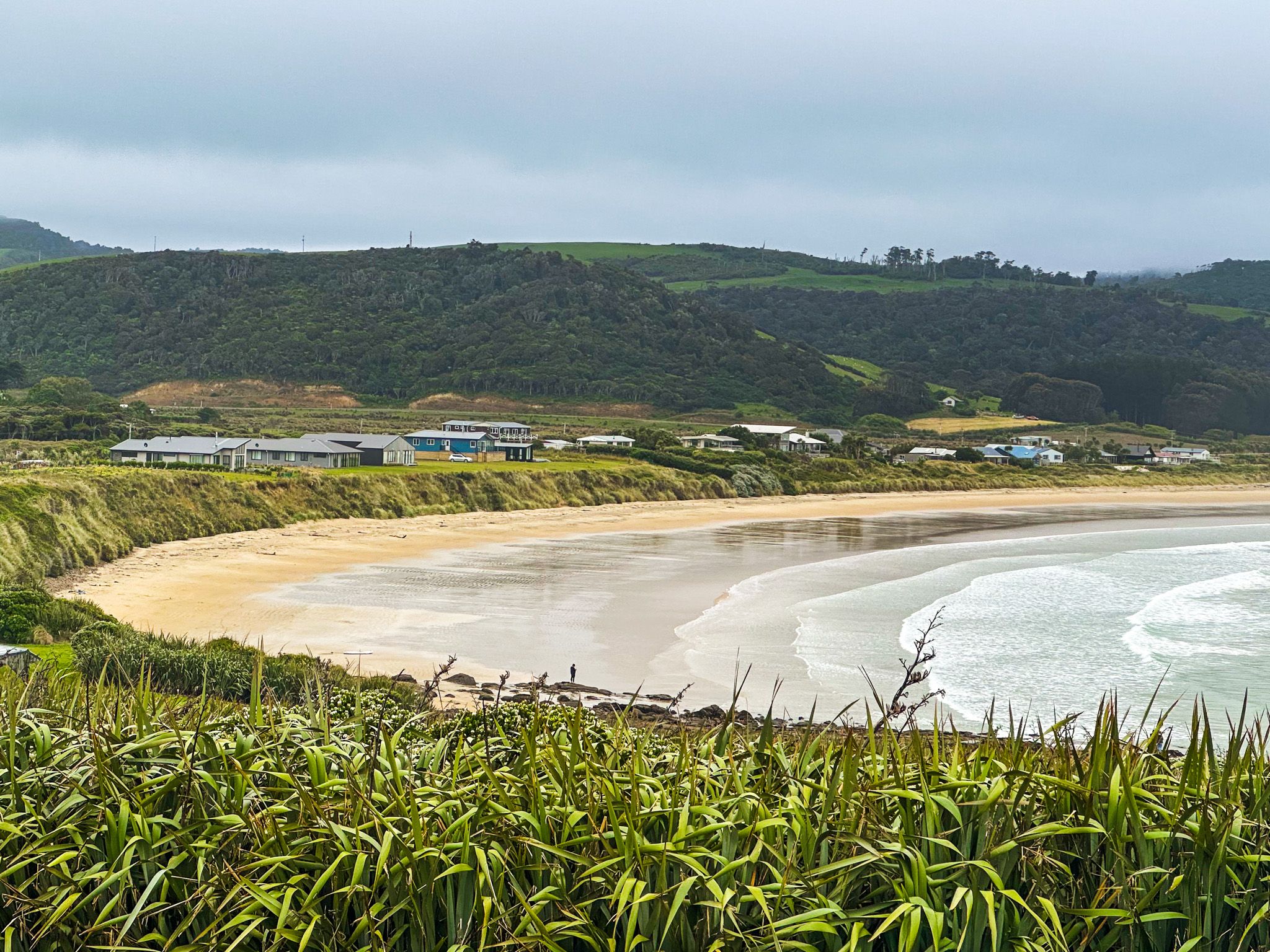
Porpoise Bay, at the east end of Curio Bay, and the clifftop views from South Head are accessible via the campground access road. You can park above the west side of the Curio Bay rock platform, which is home to numerous seabirds. Continuing on the access road leads to a car park at the south end of Porpoise Bay, where a short walk takes you to the beach. Here, you can often see Hector's dolphins in the surf, making it one of New Zealand's most consistent spots for swimming with dolphins.
South Head and Cultural Significance
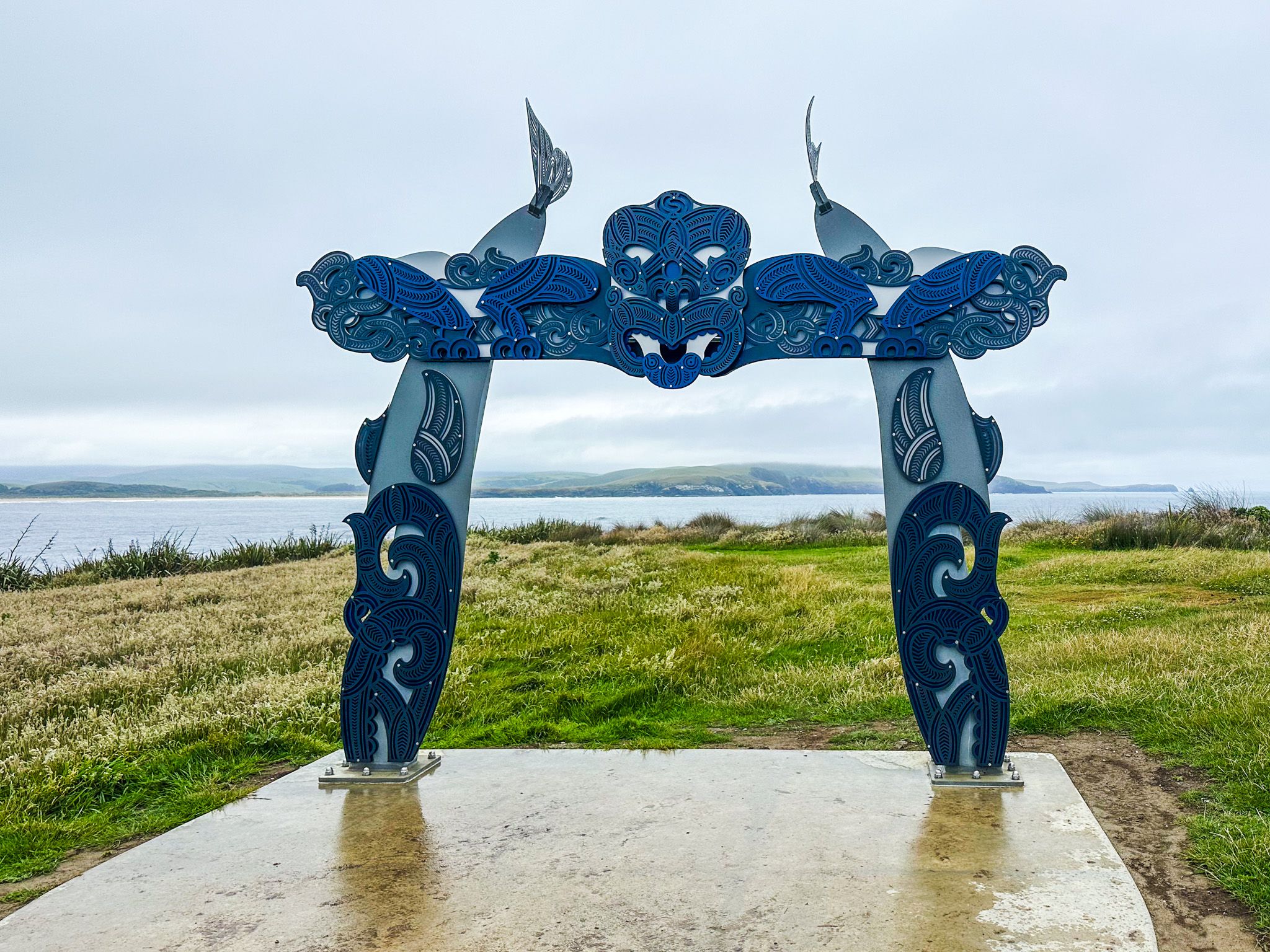
The Curio Bay access road winds up to South Head, where you'll encounter a large Māori pou, part of the Southland / Murihiku Matariki wayfinding project. This pou represents the star Waitā, associated with salt water, seafood, and sea creatures by Ngāi Tahu. At the tip of South Head, a large parking area offers spectacular clifftop views, though caution is advised as there is no protection from the edge.
Getting to Curio Bay
Curio Bay is located 69 km from Owaka at the northeast end of the Catlins, approximately a 70-minute drive. It is also 83 km from Invercargill, with a similar drive time. Access to Curio Bay from the Southern Scenic Route is via Niagara Waikawa Road, which becomes Waikawa Curio Bay Road.
Nearby attractions include Slope Point, a 15-minute drive west, Waipapa Point, 27 minutes away, and Tautuku Bay and Papatowai, which are a 40 to 50-minute drive east along the Southern Scenic Route.
