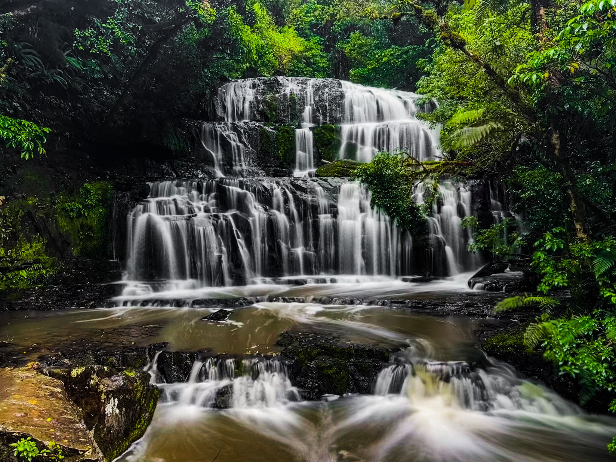
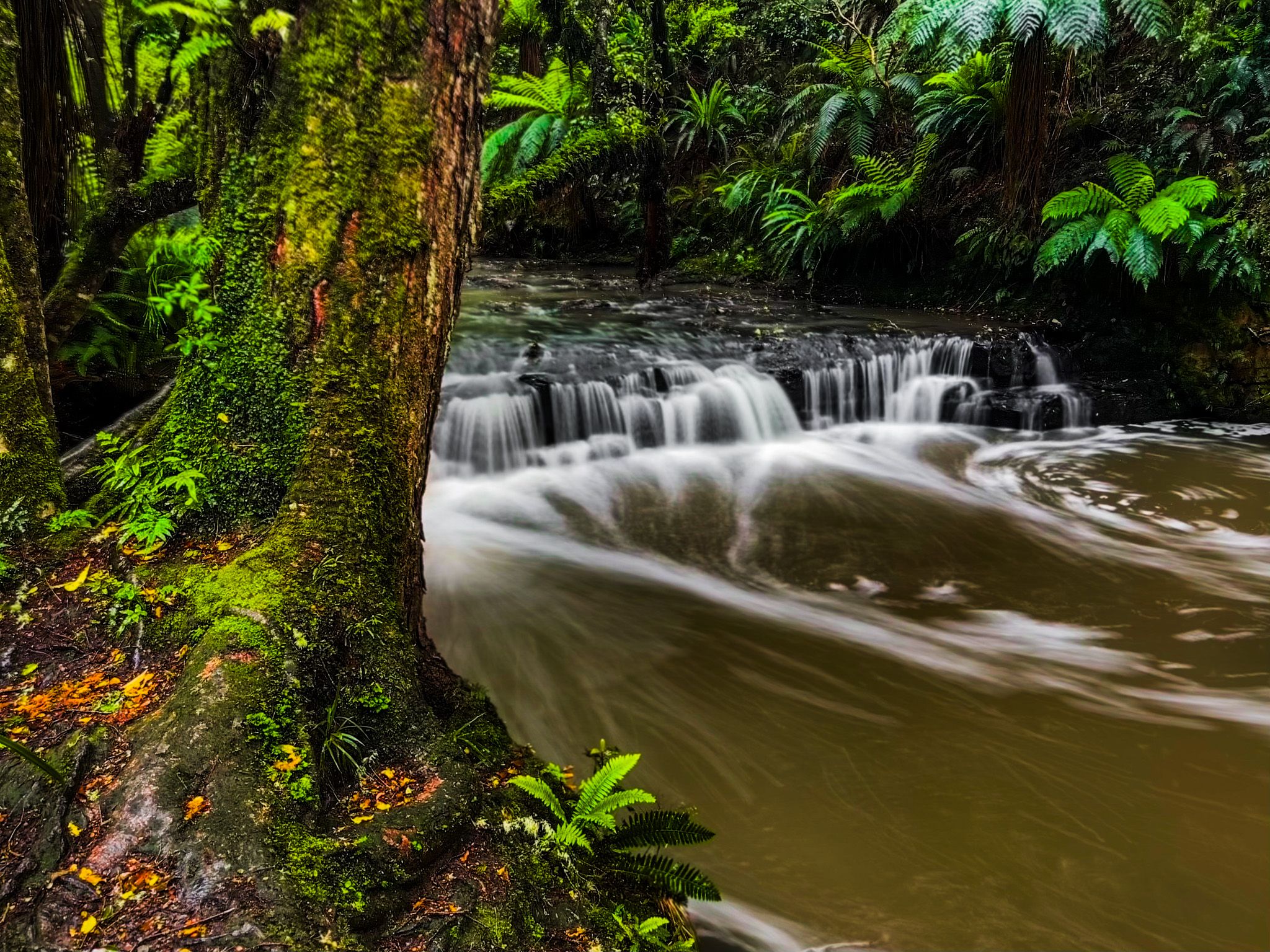
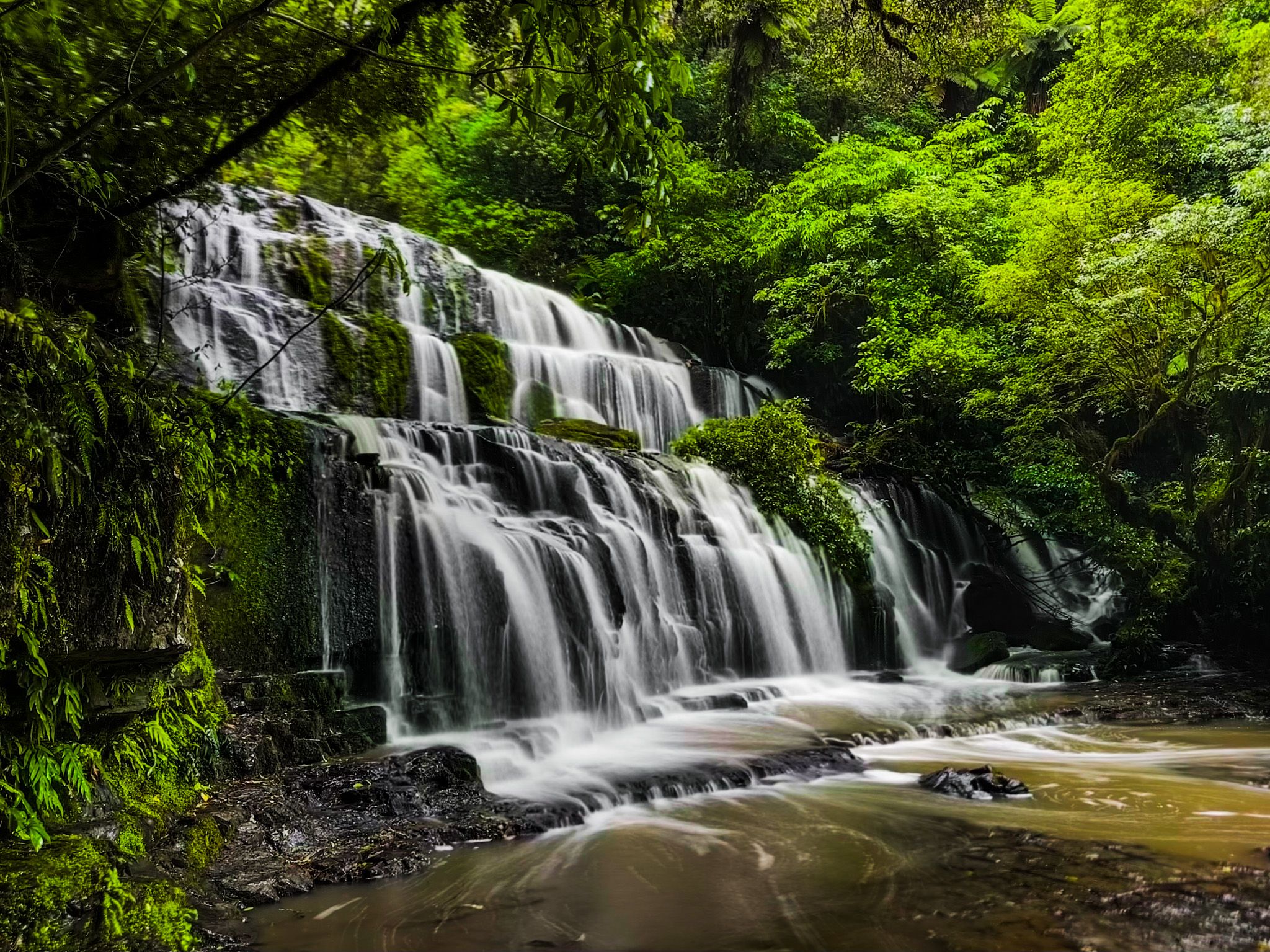
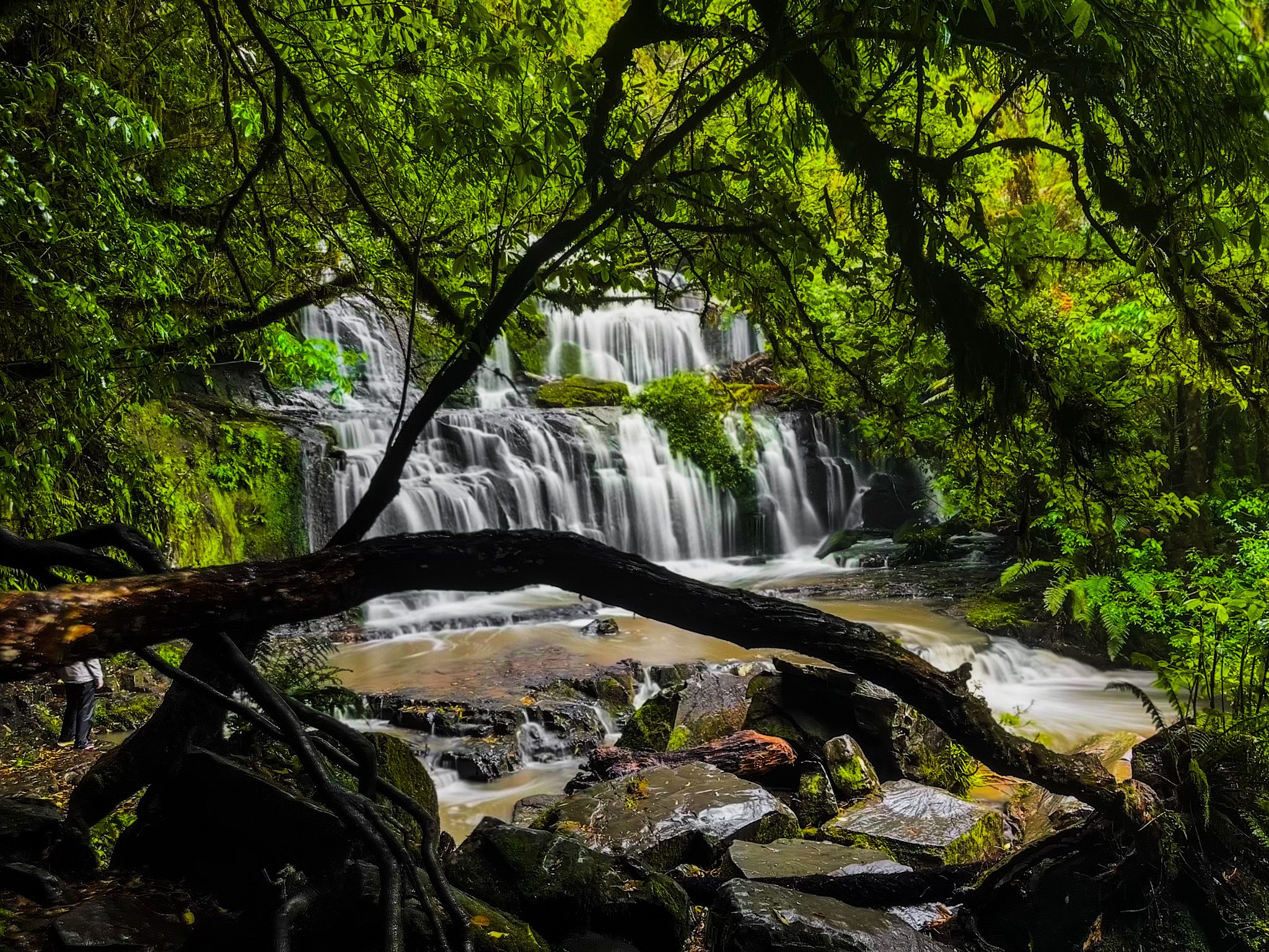
Pūrākaunui Falls (20 metres high) is beautiful and rightly viewed as one of the most iconic natural attractions in the Catlins.
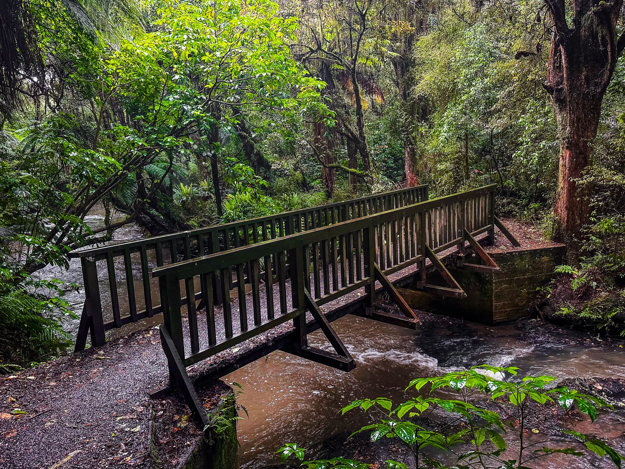
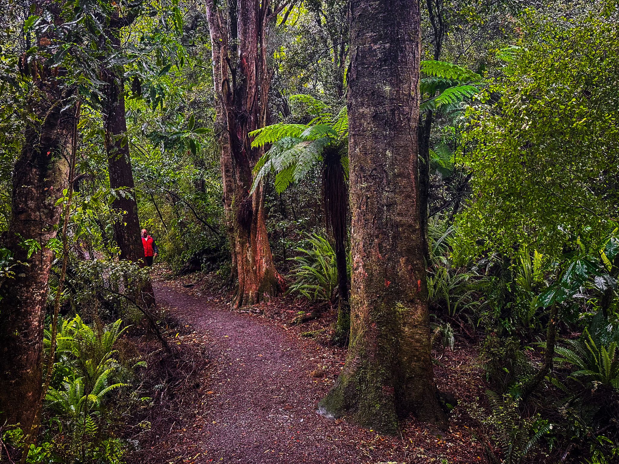
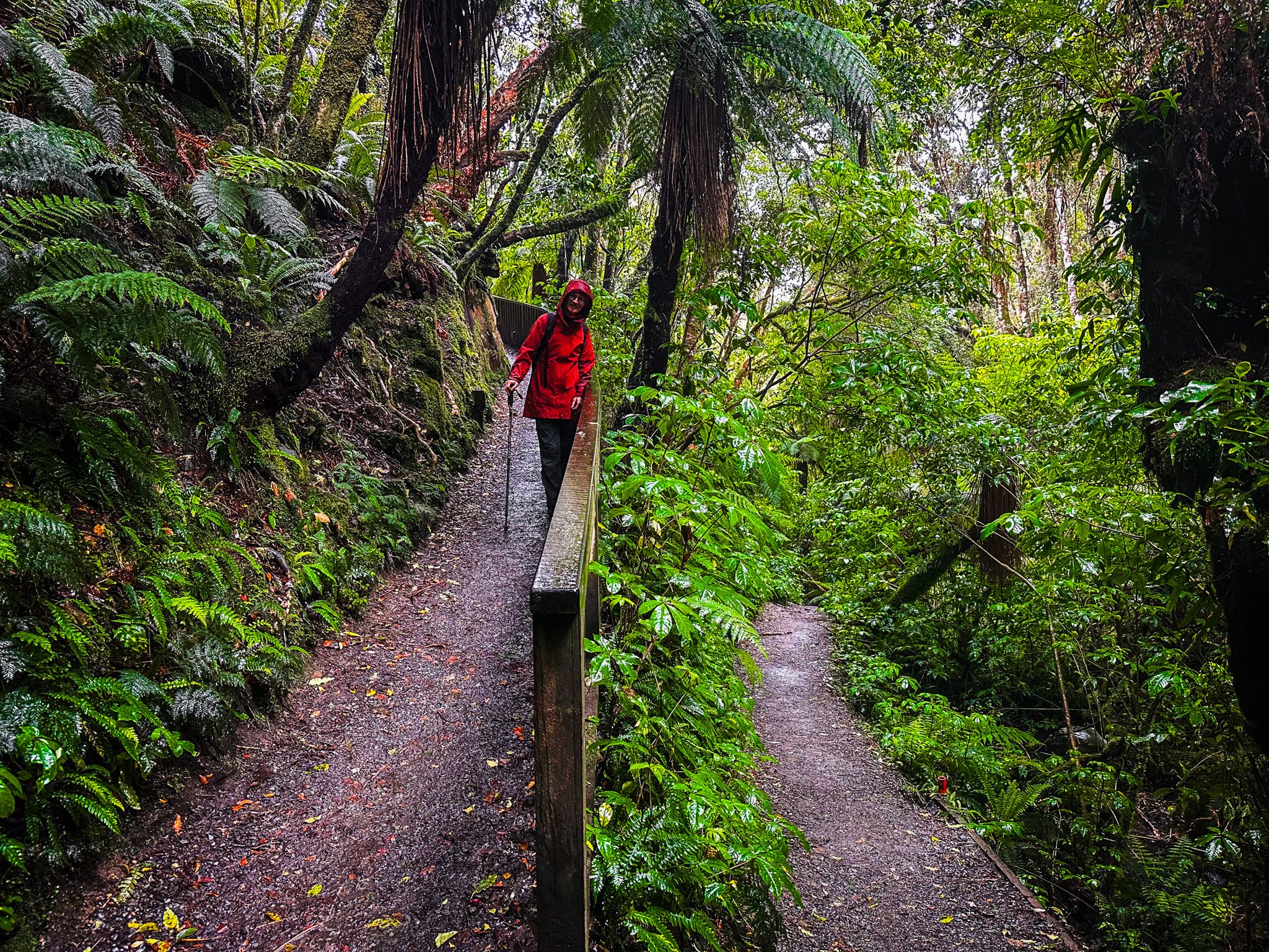
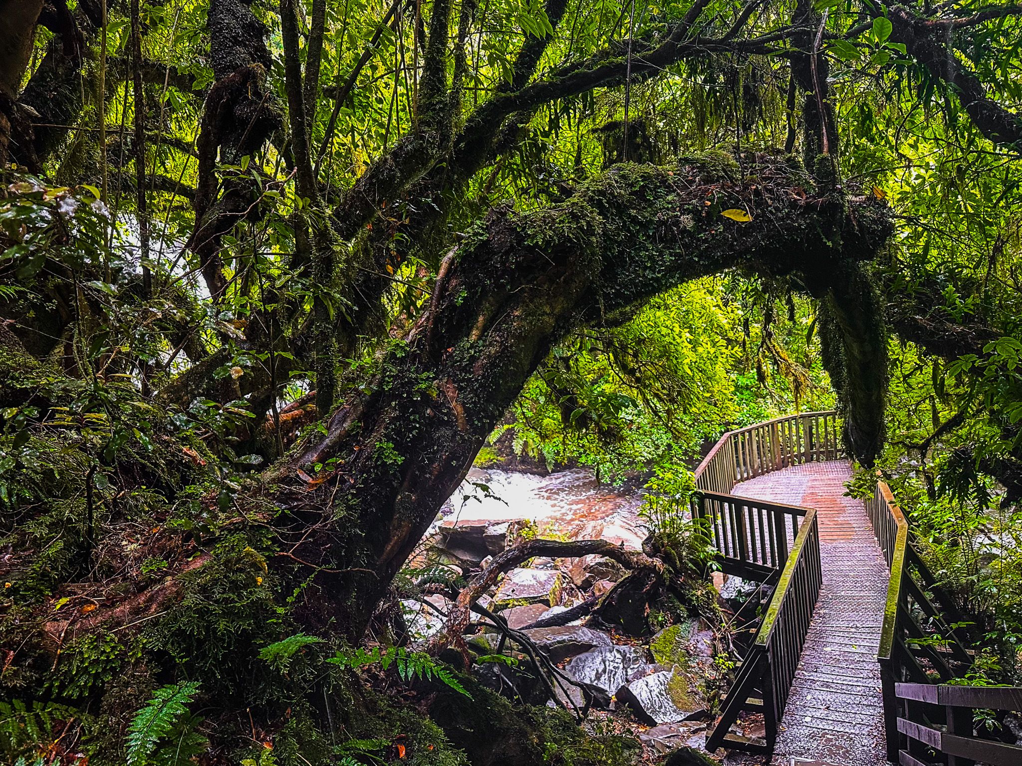
The waterfall is a stunning three-tiered cascade on the Pūrākaunui River. From the car park, it is an easy, well-maintained 20-minute walk through the rainforest to a view of the top of the falls. Then, a short walk down a series of steps to the lower platform with the classic perspective of the falls. You also get across the rocks near the base of the falls for a close-up. Take care, as it is likely to be slippery.
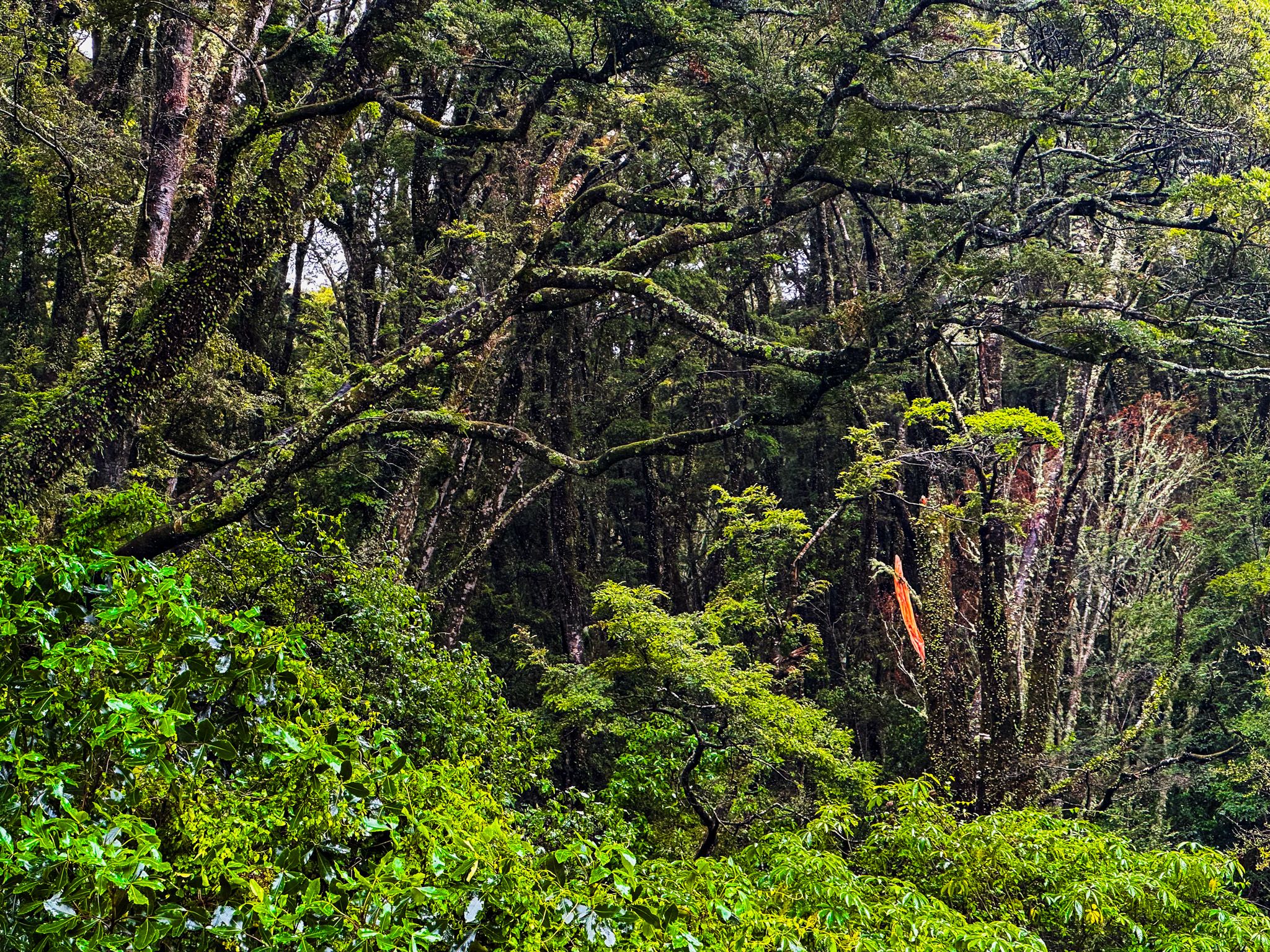
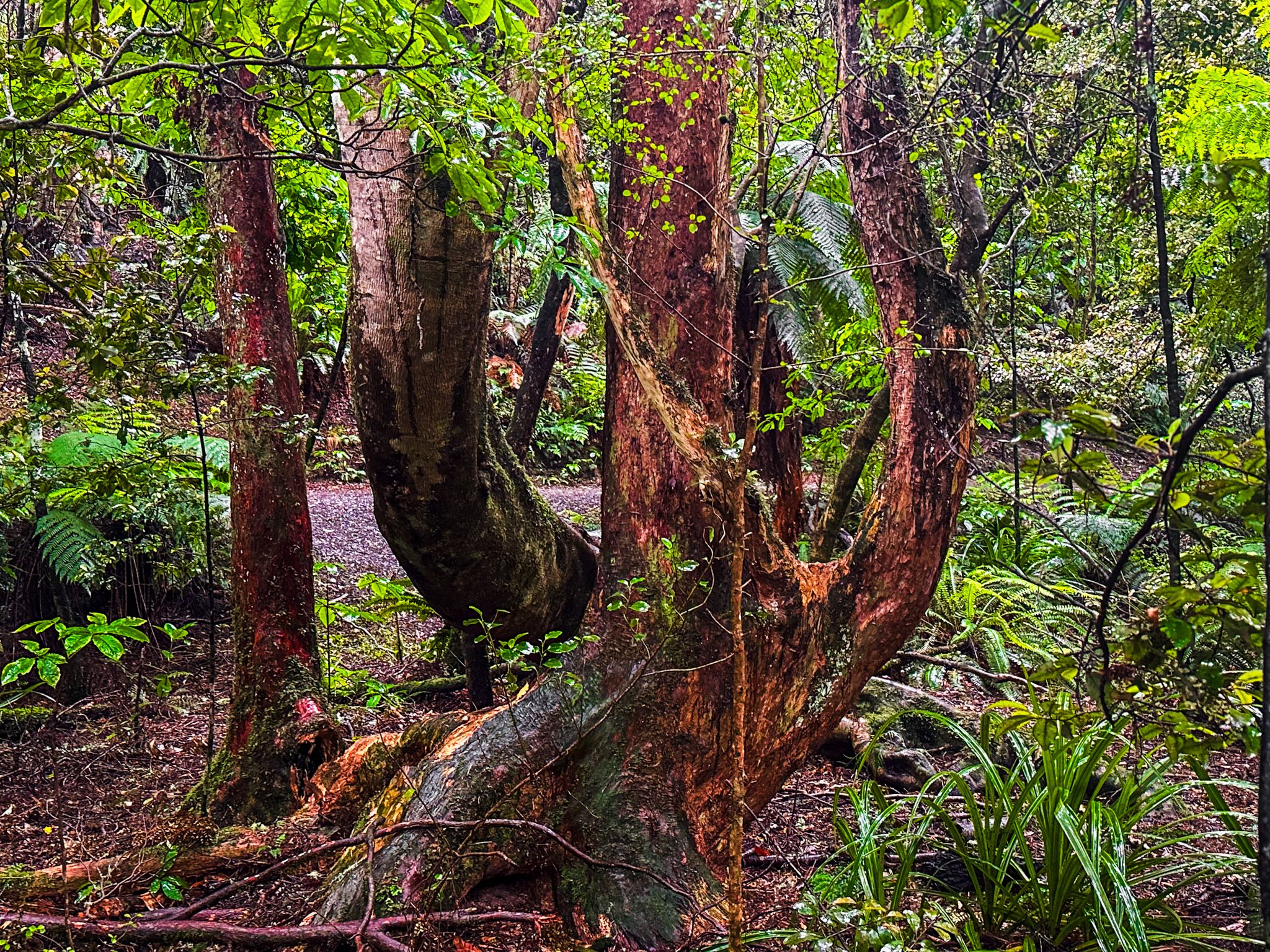
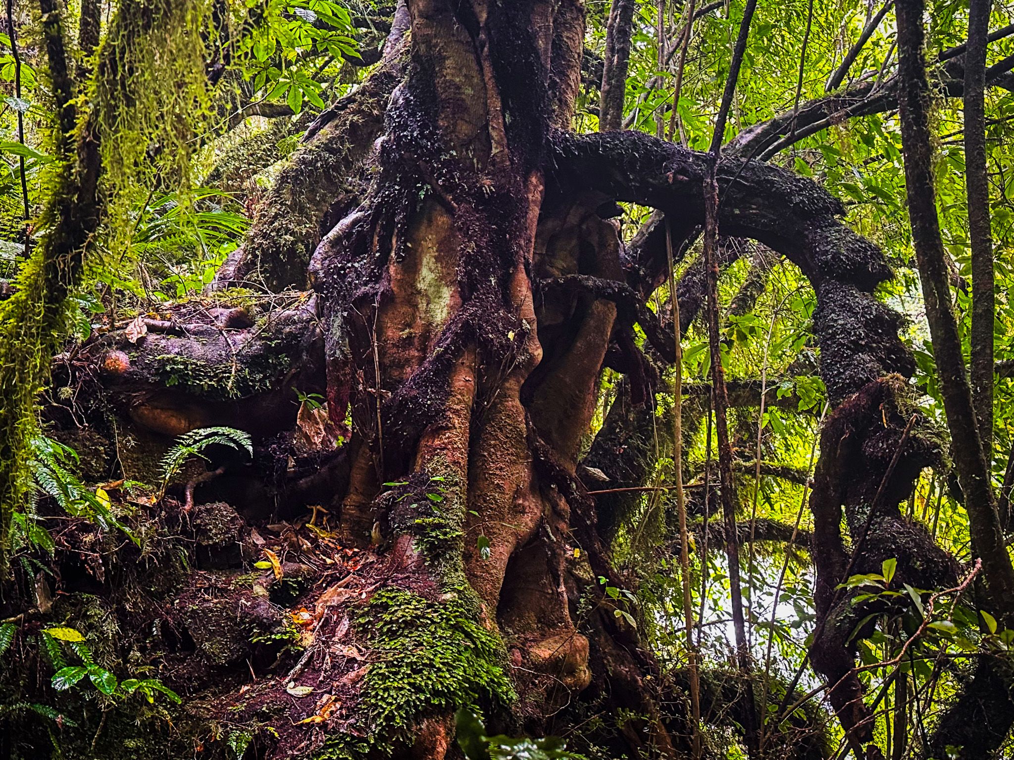
The falls and walk sit within a scenic forest reserve. The large beech and podocarp trees are most apparent from the road and car park. Once in the forest, the incredibly gnarled ancient kamahi trees are a feature, followed by the intense peeling orange trunks and shapes of big mature kōtukutuku (native fuschia trees). The kōtukutuku flowers from around August to December, and the small purple berries are edible. If it is flowering when you visit, you will spot the small red flowers on the ground.
The falls are popular and will be very busy during peak holiday periods. They have long been a top destination, appearing in travel literature, postcards, and a postage stamp. It is on everyone’s bucket list. Although the car park is big by Catlins standards and has a toilet block and picnic facilities, try to avoid peak holiday periods.
From Owaka, take the Southern Scenic Route southwest past Catlins Lake to the signposted intersection with Pūrākaunui Falls Road. Take the falls road southeast and follow it to the falls car park. This section of the road is sealed. It is a 15 km drive and takes about 15 minutes. You can easily add short side trips to stunning Pūrākaunui Bay and Helena Falls Beach with a turn-off before the falls on gravel Long Point Road.
After visiting the falls, the quickest return to the main highway to head southwest is on gravel Waikoata Valley Road, with the turnoff immediately west of the car park. For a more interesting, scenic and remote gravel drive, continue southwest on Puaho Road, a gravel road, for 2 km. You will reach an intersection where Puaho Road continues to the west and joins with the main highway between Mclennan and Papatowai. The other alternative is to head northwest on Burnt Flat Road, which intersects the Southern Scenic Route almost immediately opposite the Matai Falls car park.
