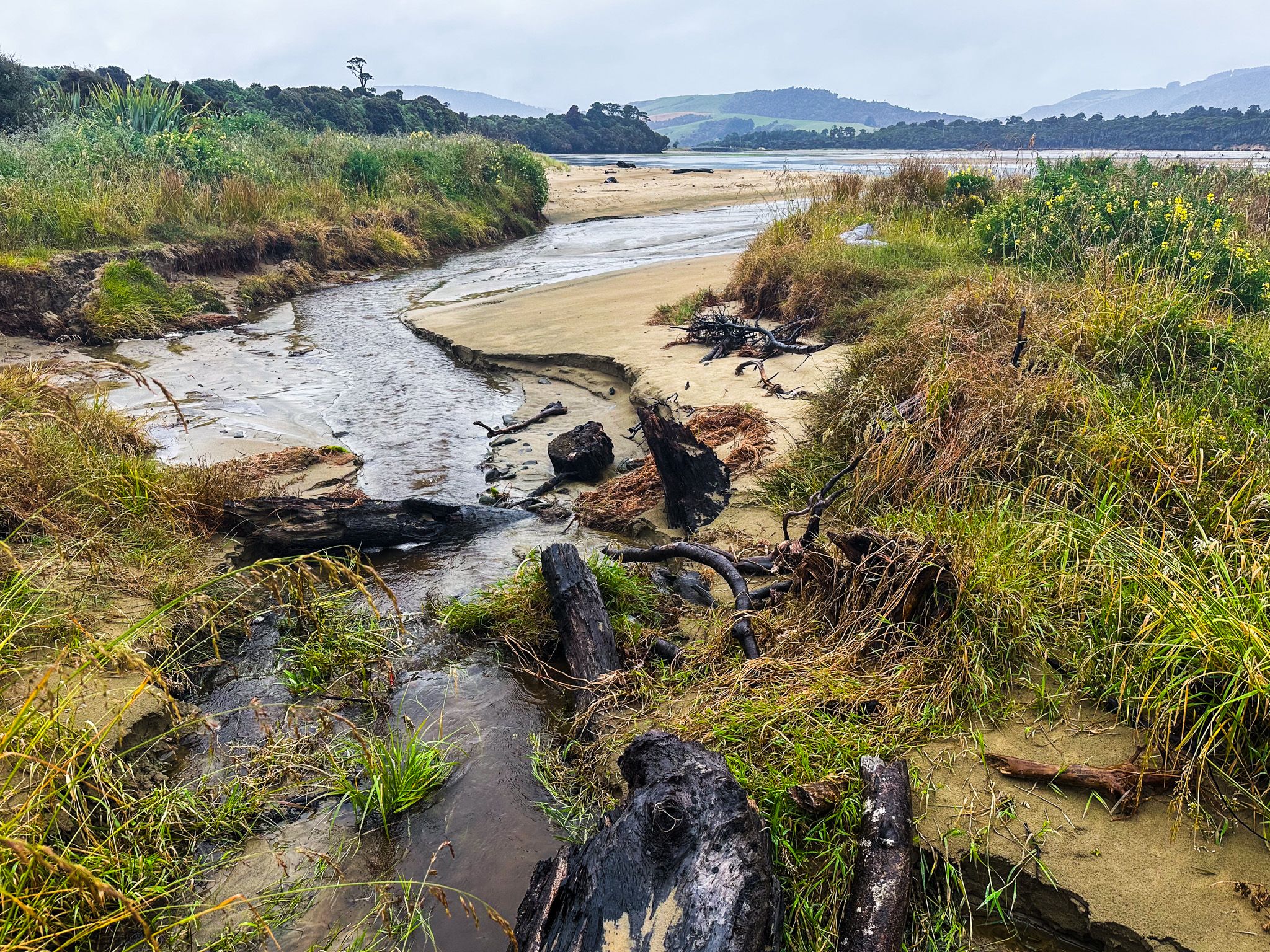
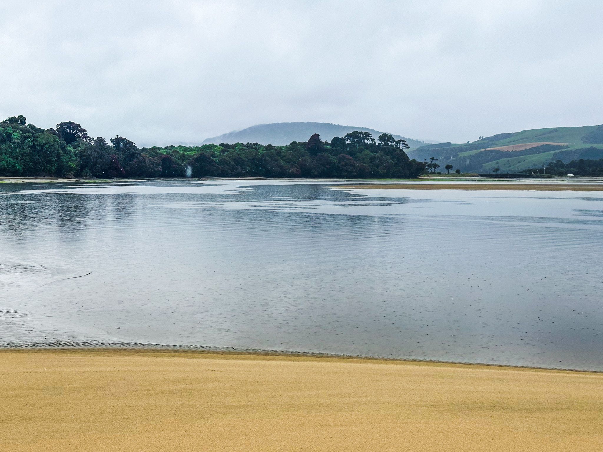
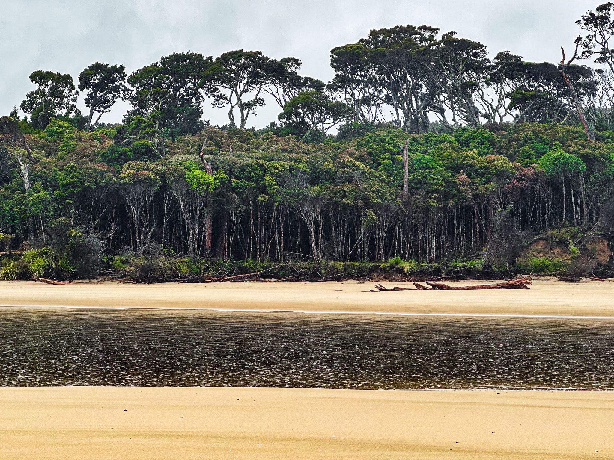
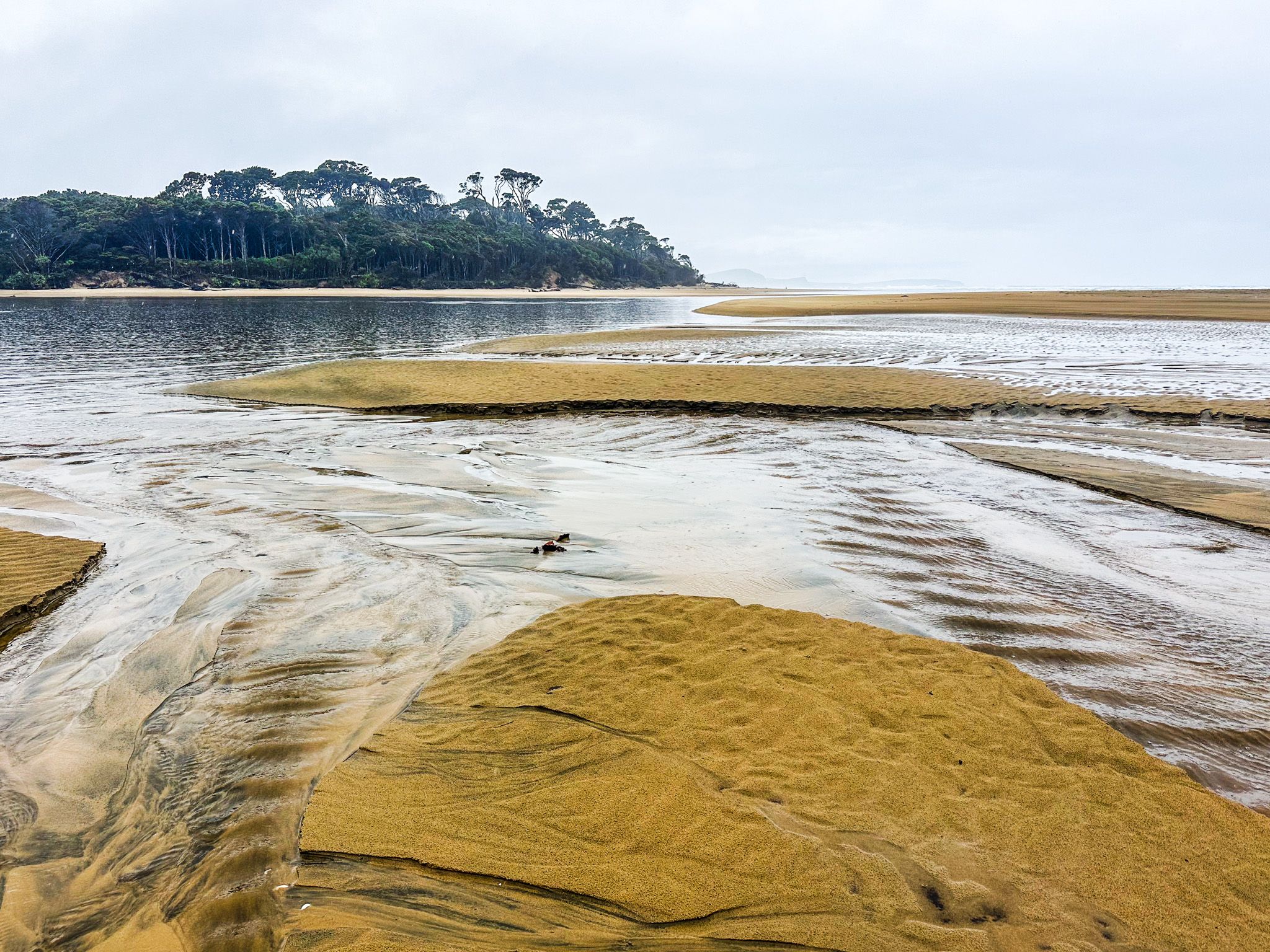
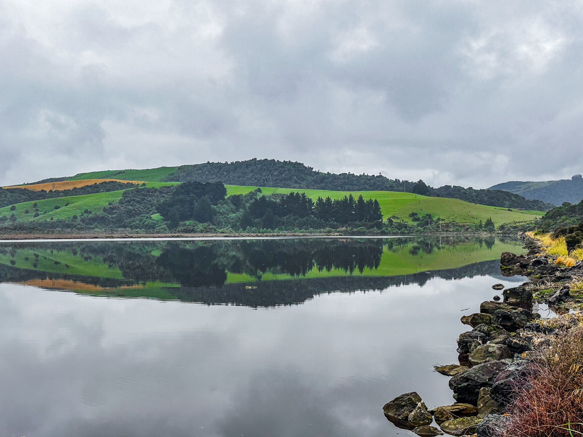
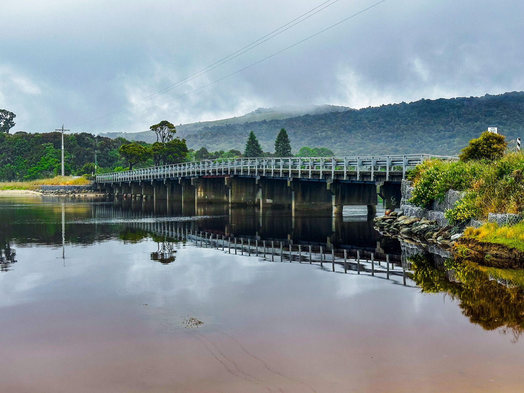
Papatowai is a hamlet on the Southern Scenic Route in the Catlins on the Pacific coast. It is halfway between Dunedin and Invercargill, on the estuary of the Tahakopa River, on the west side of Tahakopa Bay. It is a 26.1 km, 26-minute drive southwest of Owaka and a short drive from Papatowai to Tautuku Bay to the west.
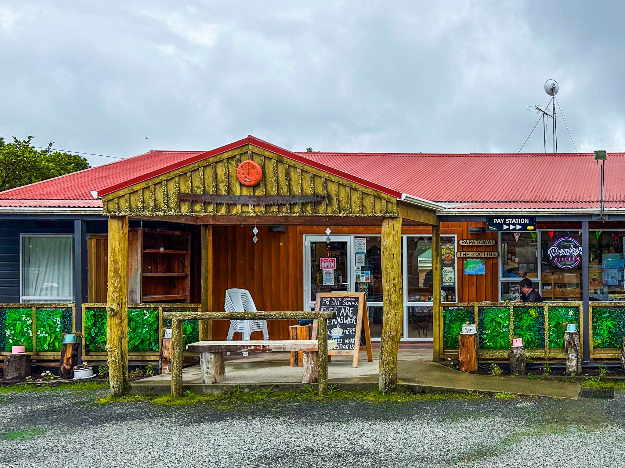
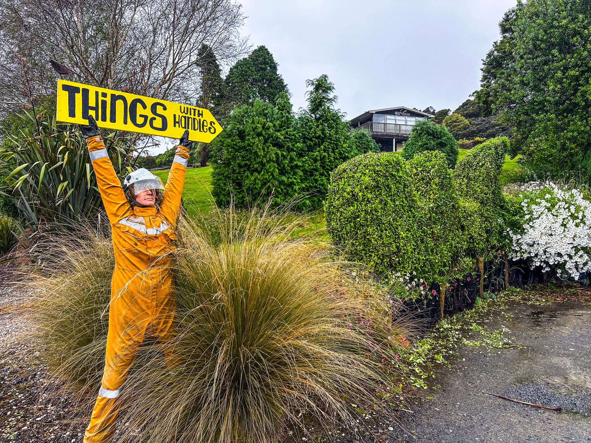
There are about 40 people there full-time, plus cribs (small holiday homes) and a DOC campground fronted by a small store and an excellent cafe. The hamlet is also home to the Lost Gypsy Gallery, one of the iconic features of the Catlins, which also has a coffee caravan.
.
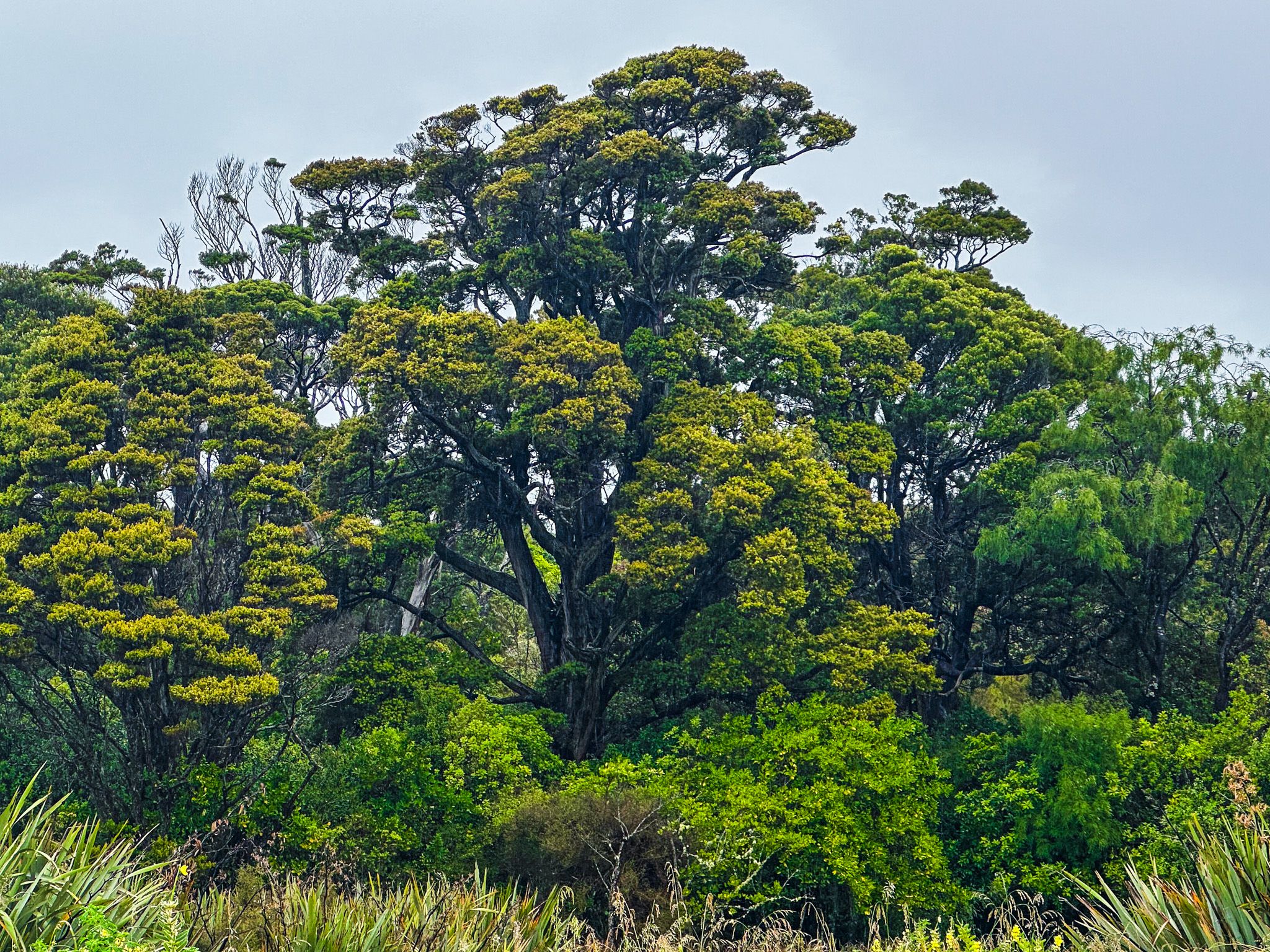
Māori lived and hunted around Papatowai for over 800 years, including moa during the moa hunter era. There is an archaeological site where you can view middens left by the Māori inhabitants. Papatōwai means tōwai tree flat. Despite the long presence of people, the area is still surrounded by native podocarp forests and large ancient rata trees.
The main walking options are in the Papatowai Scenic Reserve, which starts from Cross Street. Note that the track access is south of the large public parking area and toilets towards the end of Cross Street. Start by walking through the forest to Picnic Point on the 1 km Picnic Point Track. You can return to Cross Road via the beach. You can continue from Picnic Point to Kings Rock for about 20 minutes. Most of this is over private land, so stick to the markers.
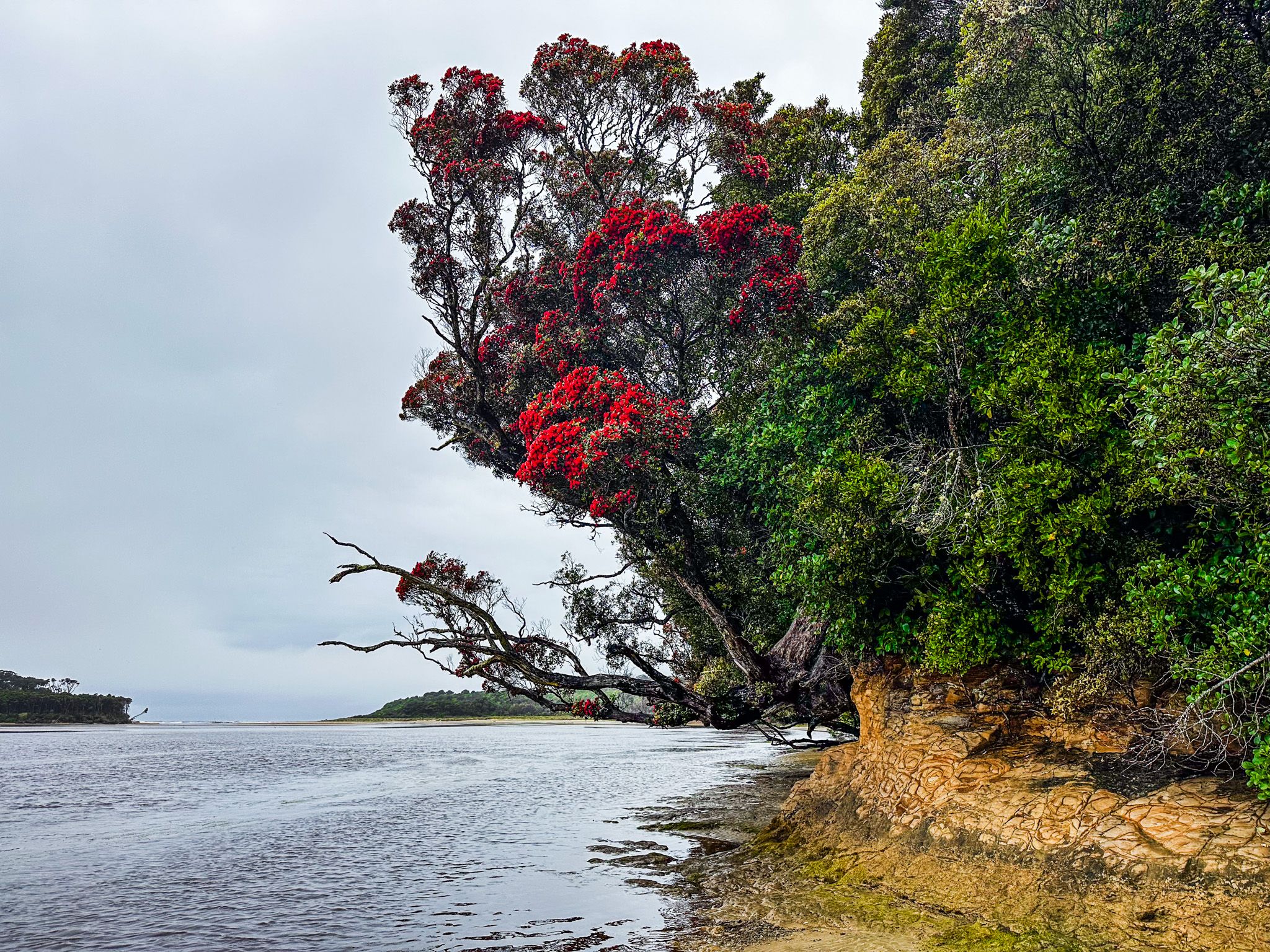
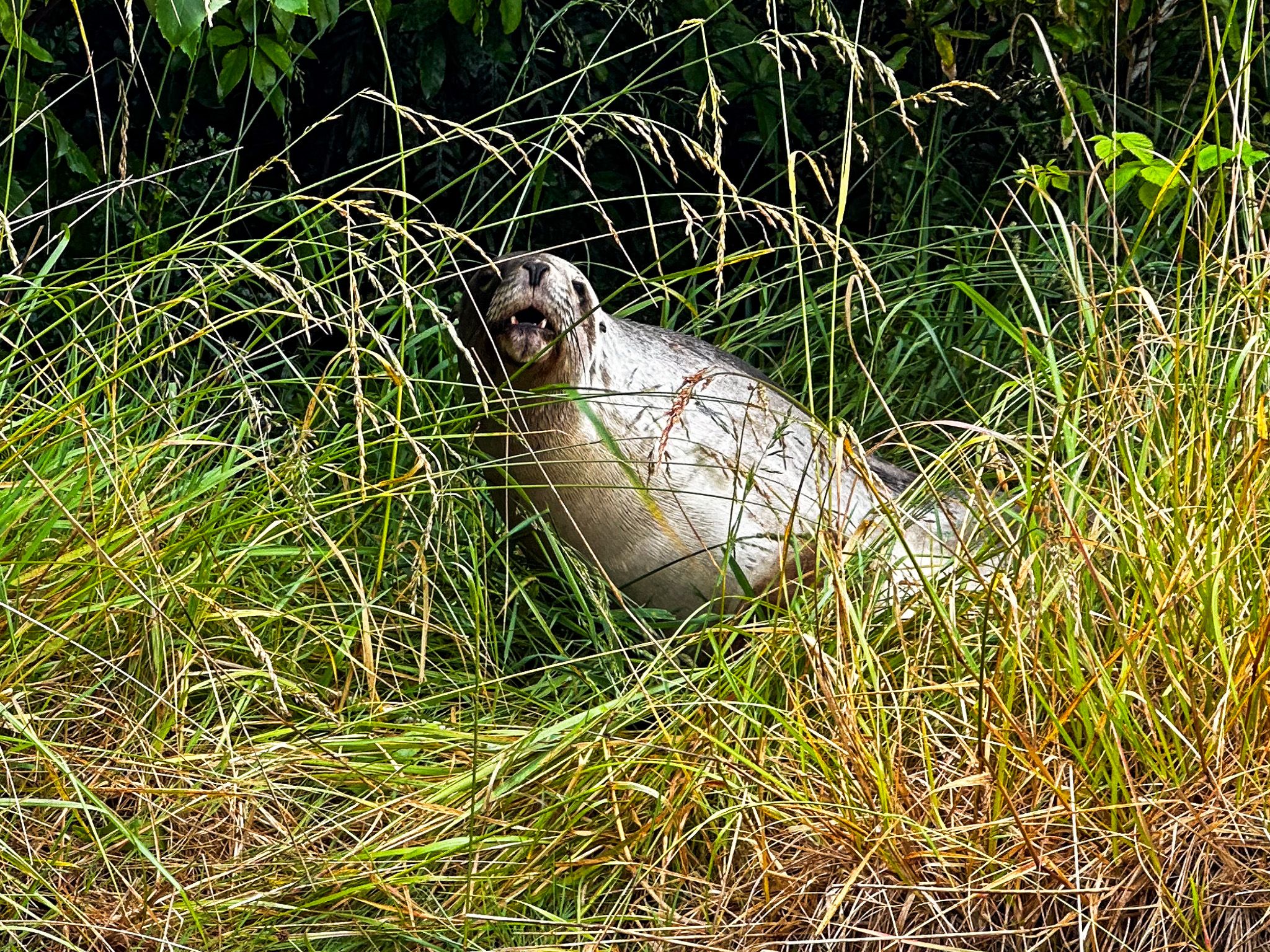
The west side of the river estuary is also known for its mature rata trees. You will see these flowering during December and January, which can be spectacular. Be mindful that pakake (sea lions) hang out around the estuary's edge in the grass and shrubs and can be hard to spot.
