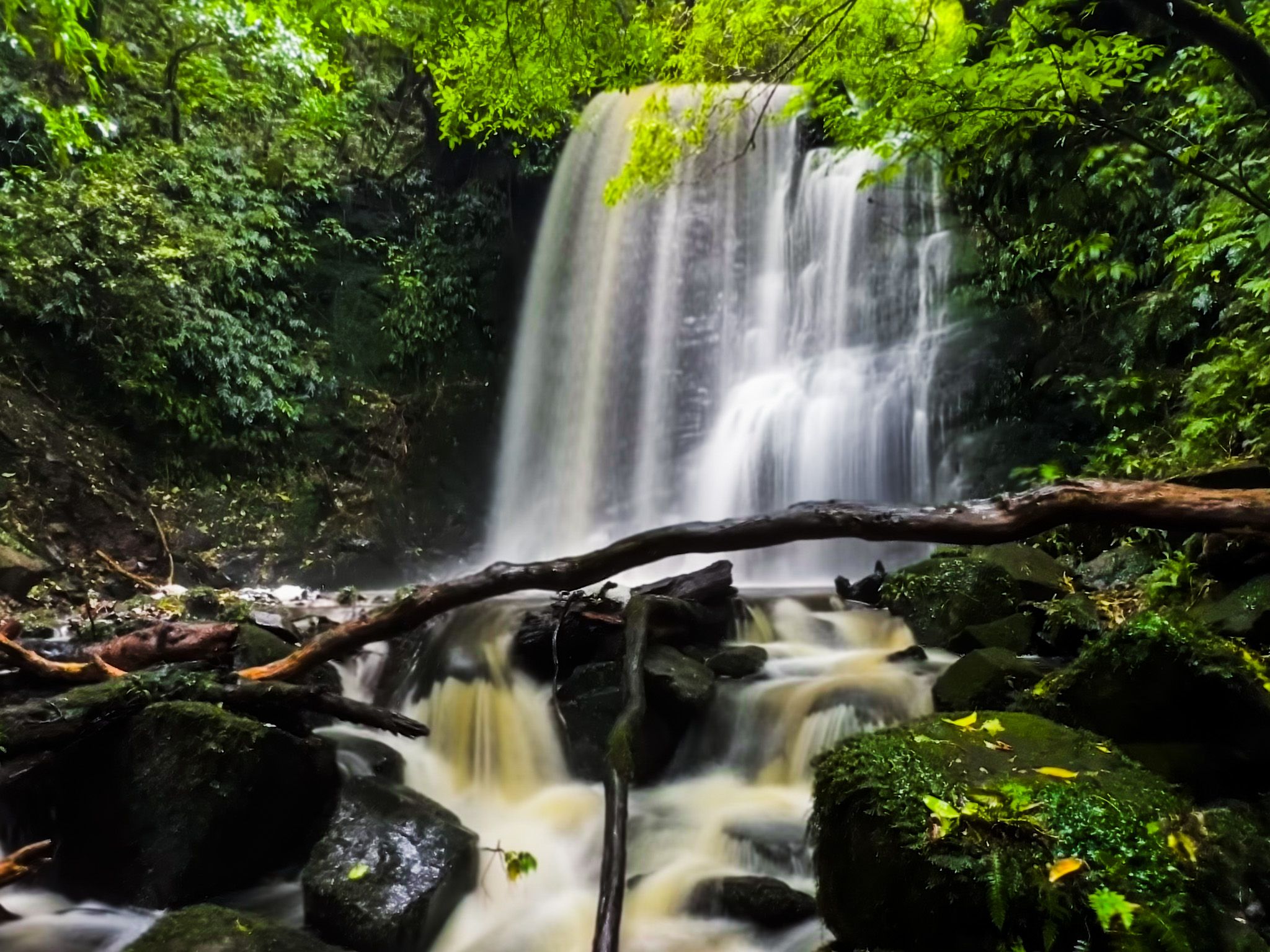
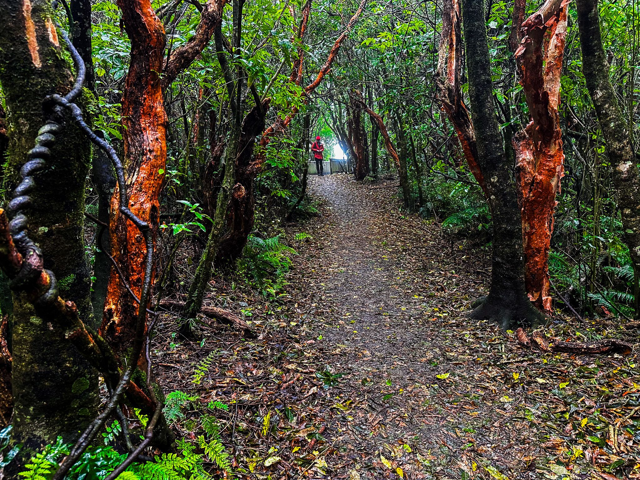
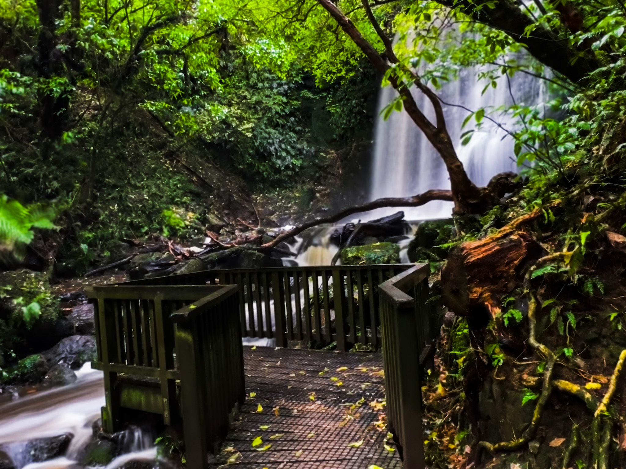
Matai Falls in the Catlins is signposted on the Southern Scenic Route, 18 km southwest of Owaka. Parking on the road's north side is next to the track access.
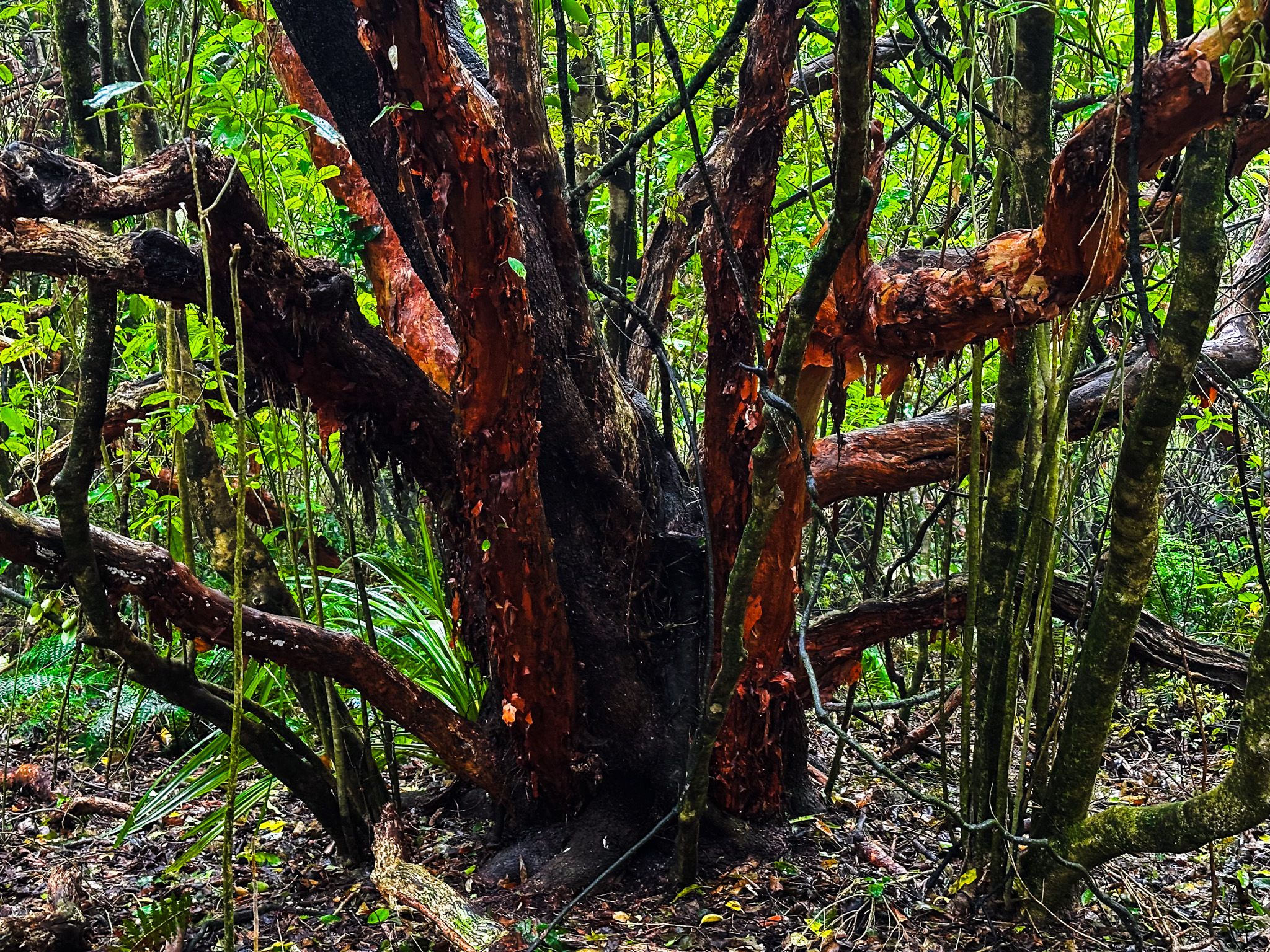
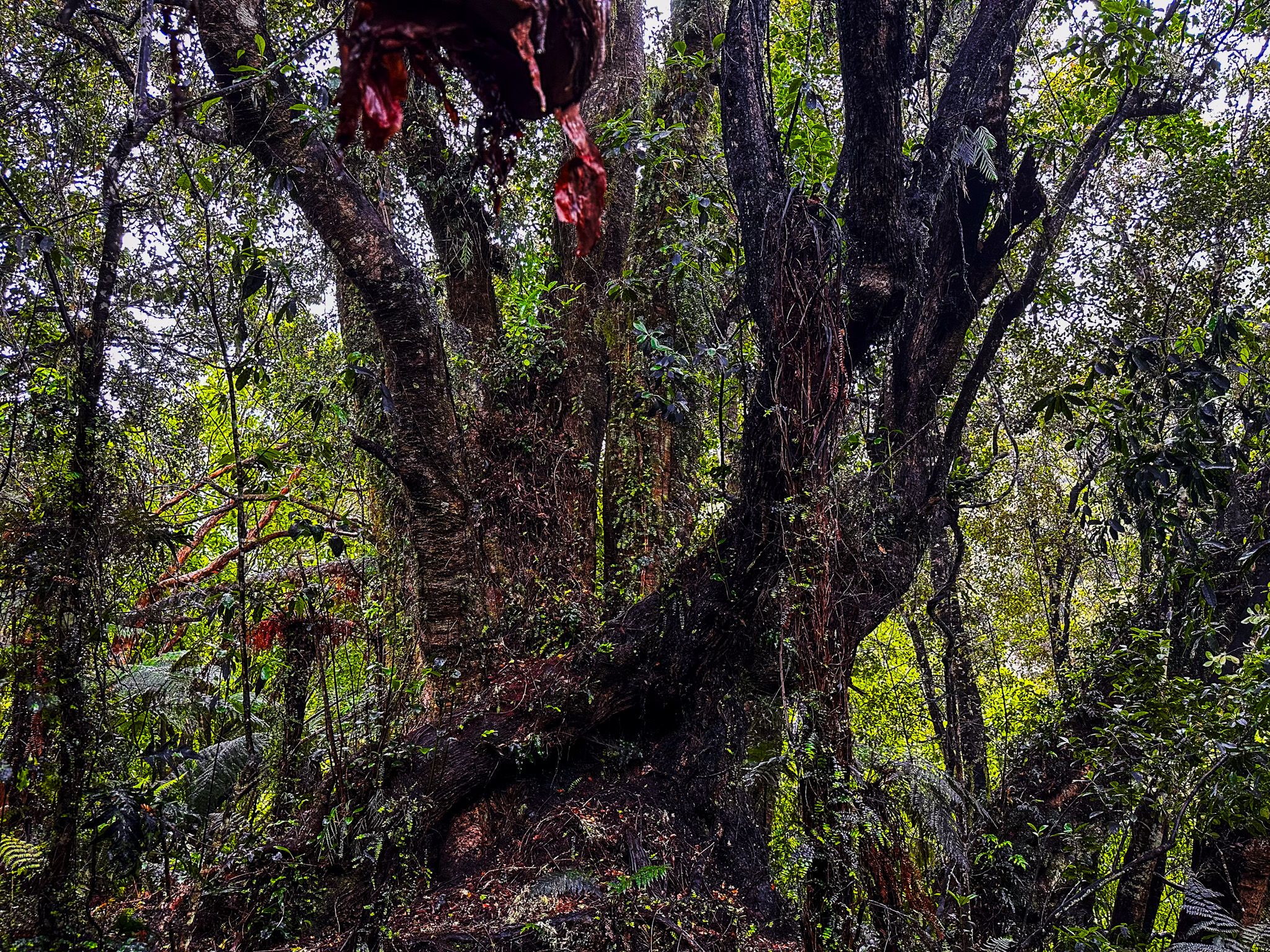
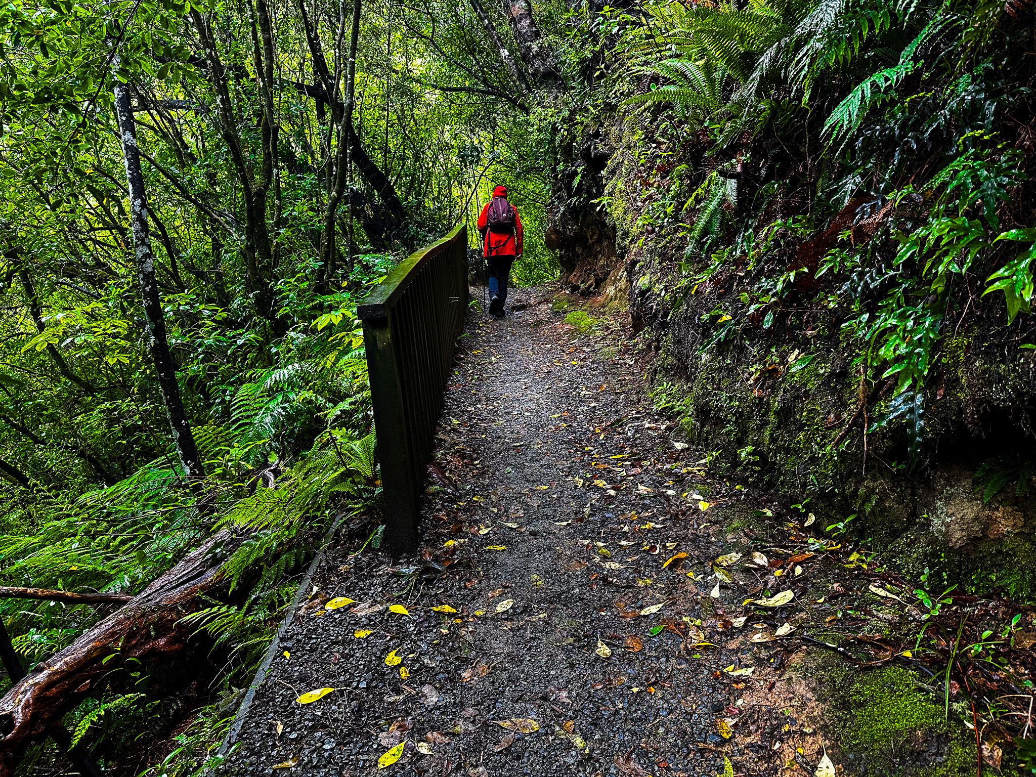
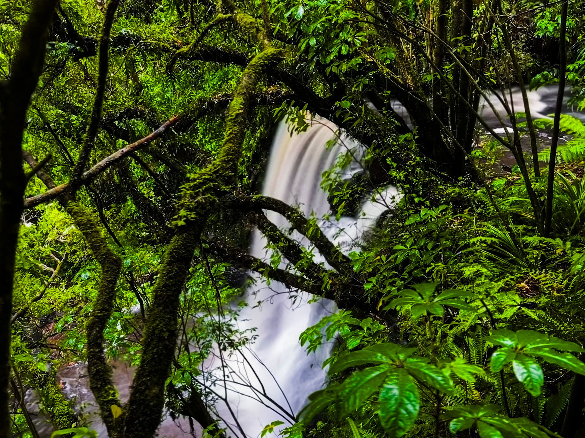
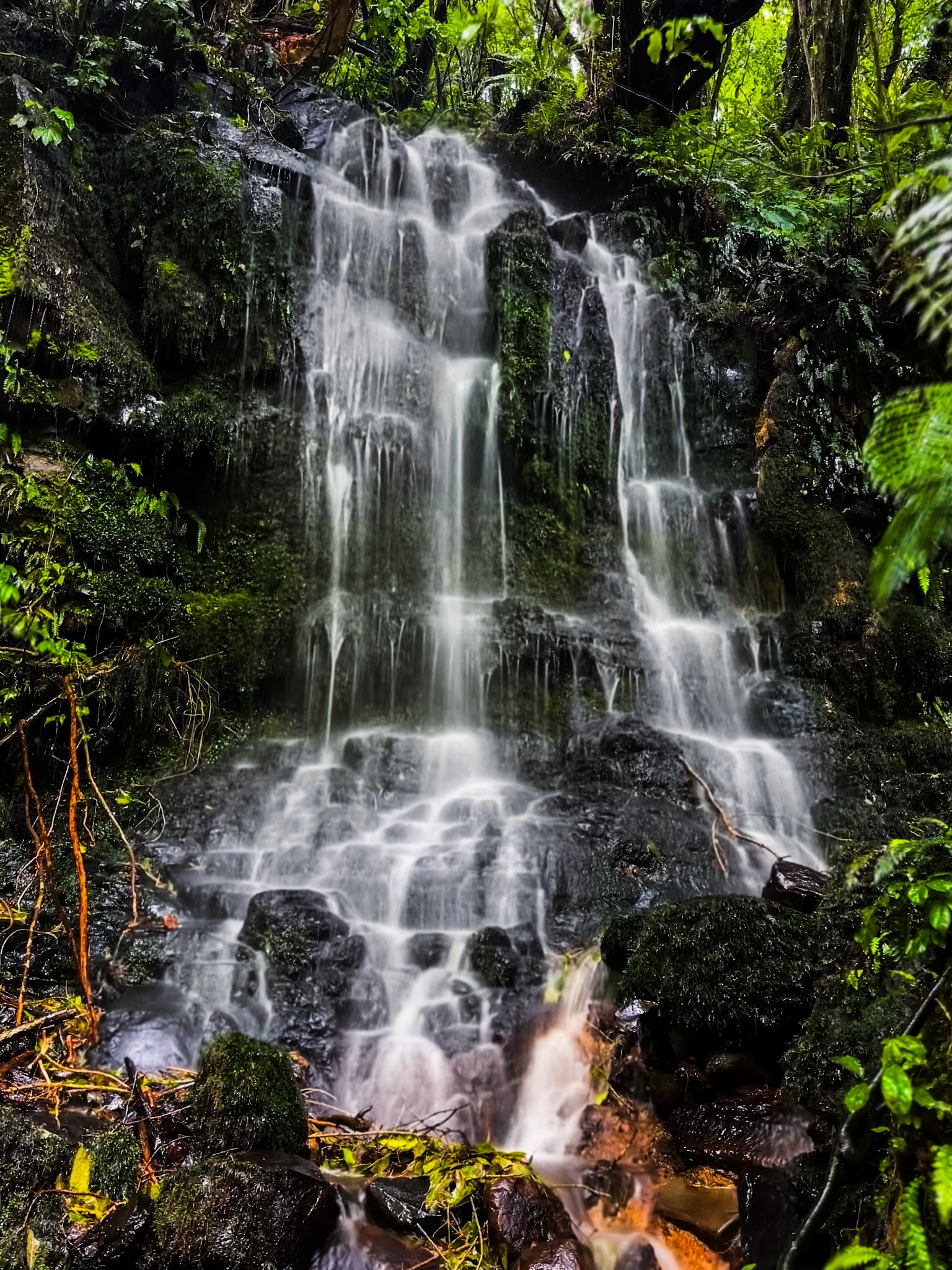
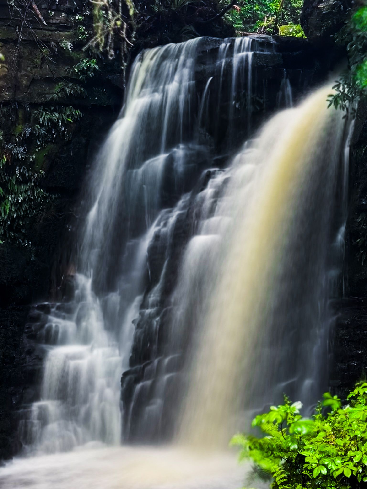
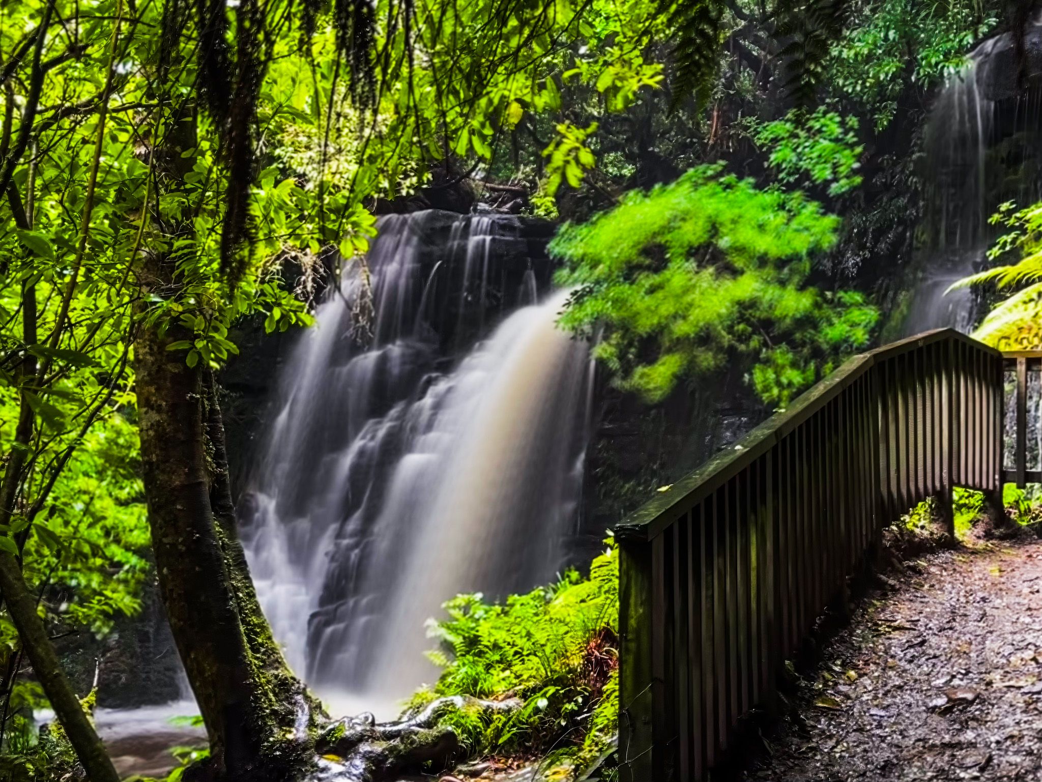
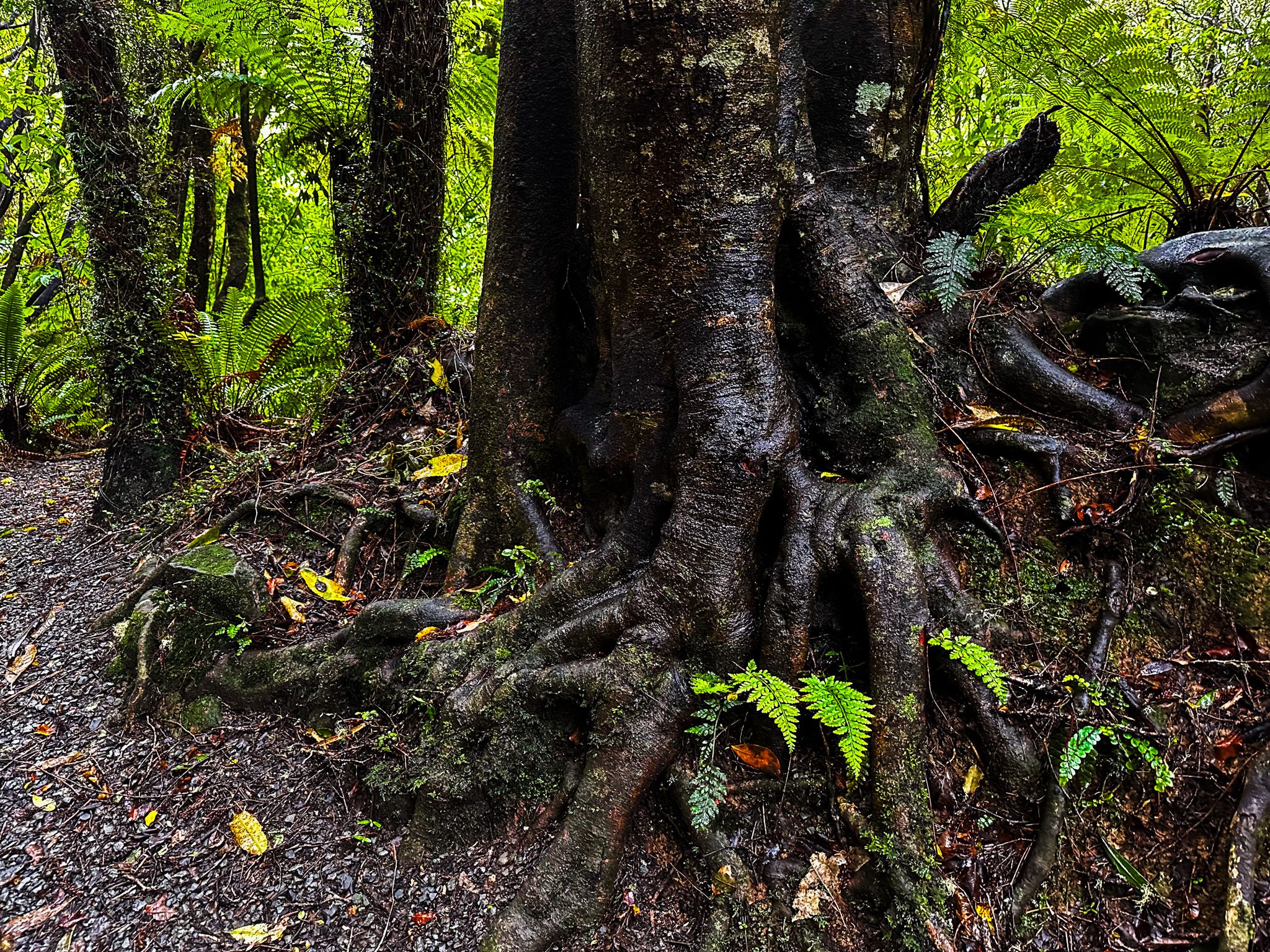
There are two main waterfalls on the Matai Stream. Matai Falls is the lower one with a viewing platform at the base. From there, it's a short, steep climb to view Horseshoe Falls. Both waterfalls are 10 metres high, and the walk takes about 15 minutes each way. There is a third, shorter waterfall between the two, which you can pick out through the trees from the track. The easy walk to Matai Falls is through attractive regenerating podocarp and broadleaf forest. Large, unusually shaped kōtukutuku (native fuchsia), with its peeling orange bark, is a particular feature.
Matai Falls has an unusual history. The Catlins Railway Line that connected Owaka to Tahakopa followed the north side of the stream. The falls resulted from quarrying rock to support the railway line foundations, but the regenerating rainforest, rich with ferns, moss and lichens around the falls, has completely disguised this history. After a few minutes on the track, you reach a signposted intersection with a steep, short link to the Catlins Rail Trail. This is a remnant and walkable section of the railway line. There is also a short walkable section with a tunnel at Tunnel Hill.
Head west on the track for a few minutes into a culvert dug out of a rocky hillside. In the wet, it drips with water and small waterfalls, with the rainforest gradually encroaching. Several small panels describe the rocks and history, including fossils in the rockface. Head east for a 30-minute walk to a picnic table.
