Walking the Scenic Catlins River
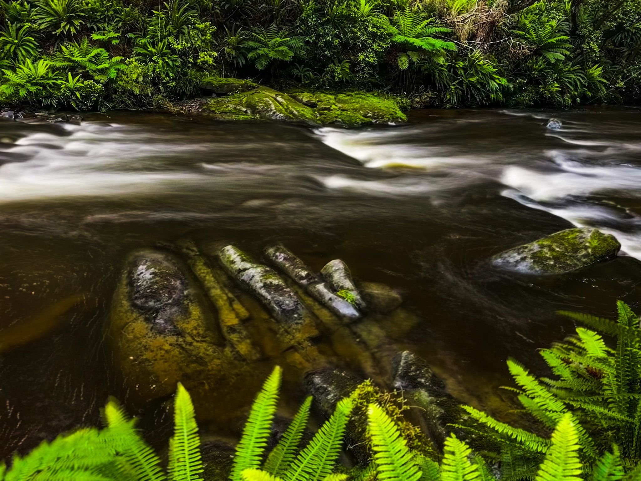
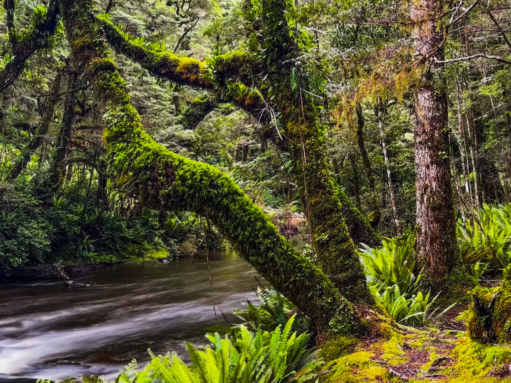
The Catlins River, in the southeast corner of the South Island, flows 42 km southeast through the Catlins to the Pacific Ocean at Pounawea. This river is notable for its upper estuary, known as Catlins Lake, and its lower estuary, shared with the Ōwaka River, referred to as the Pounawea Estuary. Originating west of Mount Rosebery, 15 km southwest of Clinton, the river offers a picturesque setting for visitors to the Catlins.
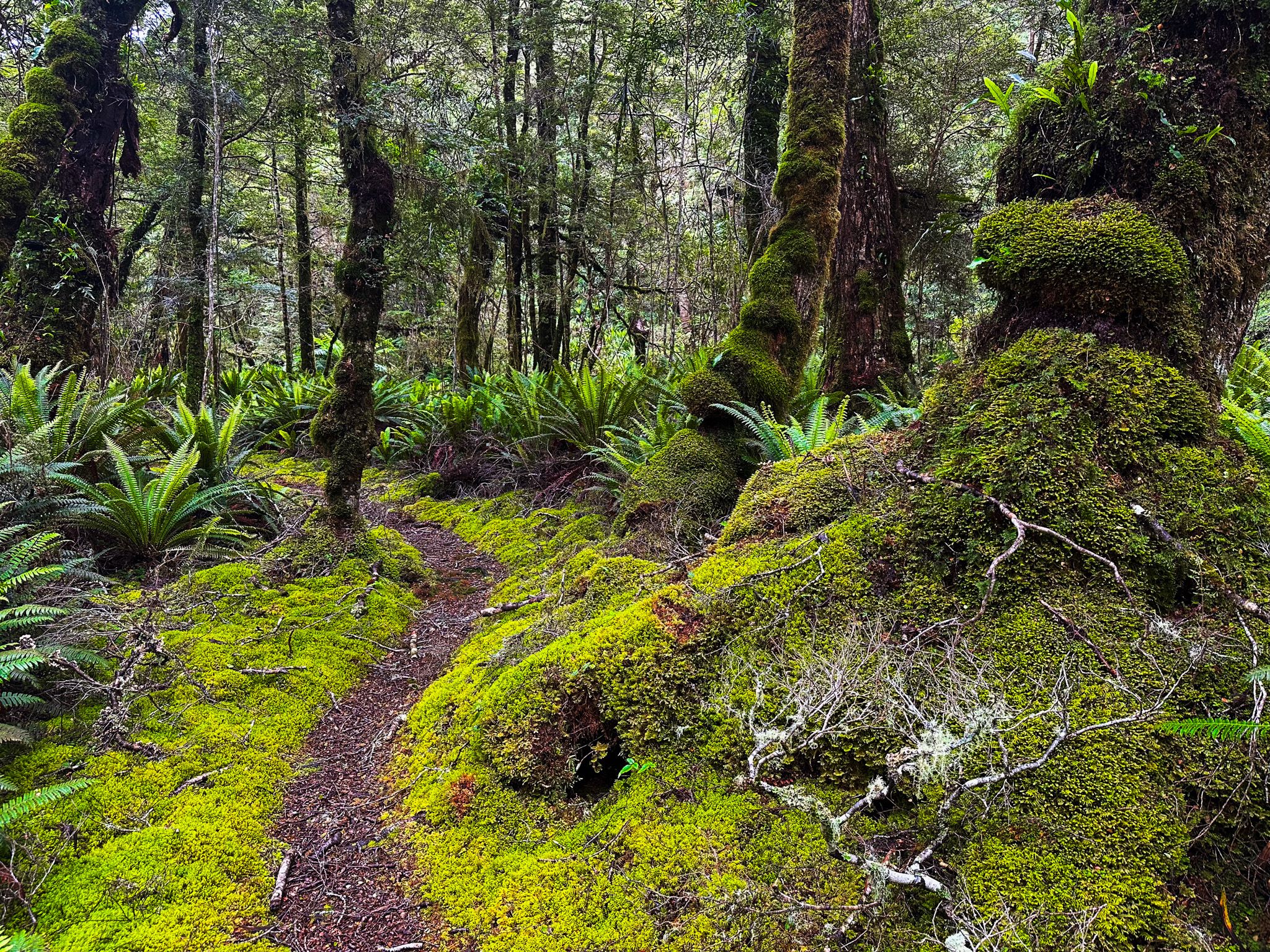
The Catlins River Walk
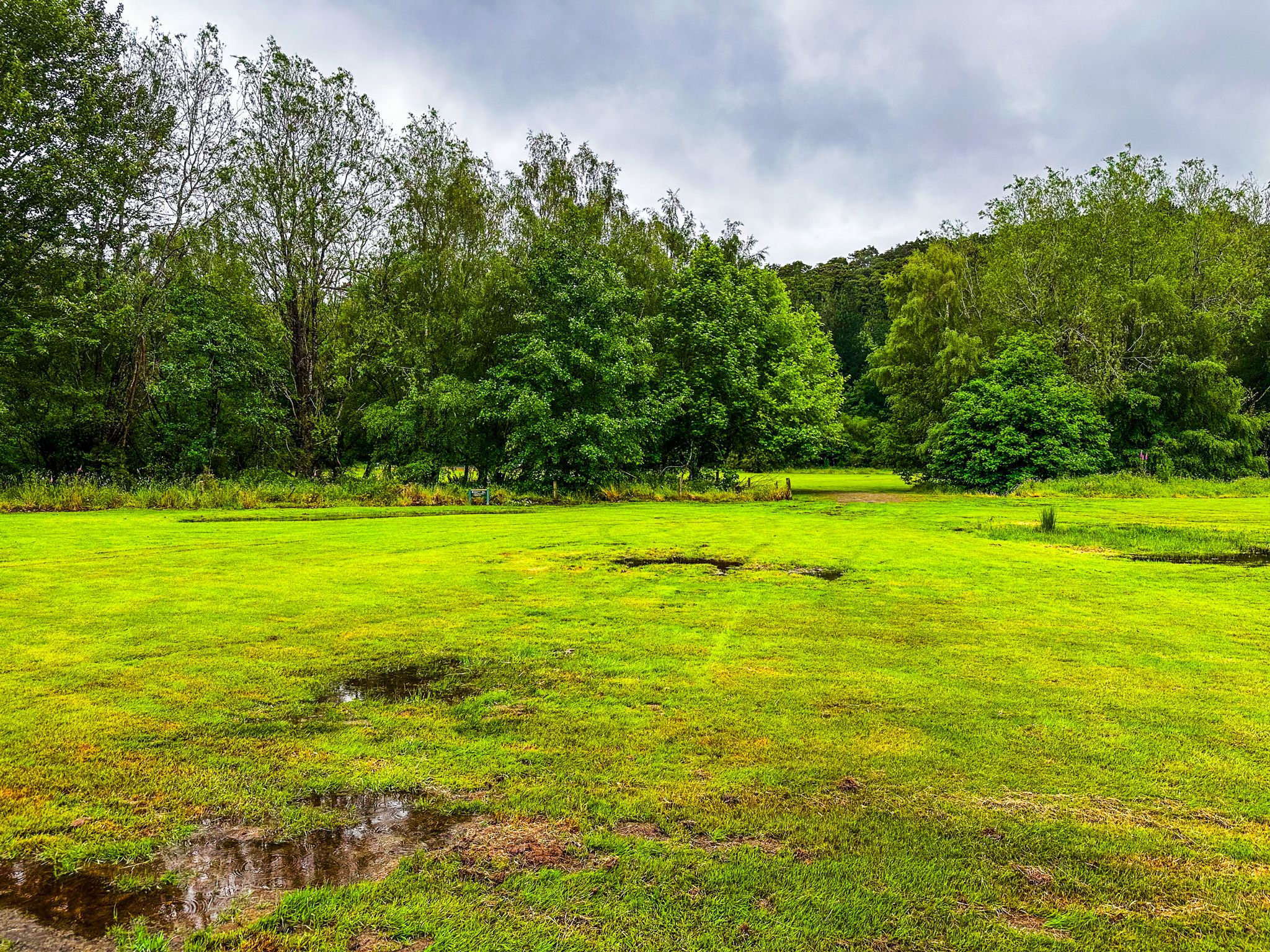
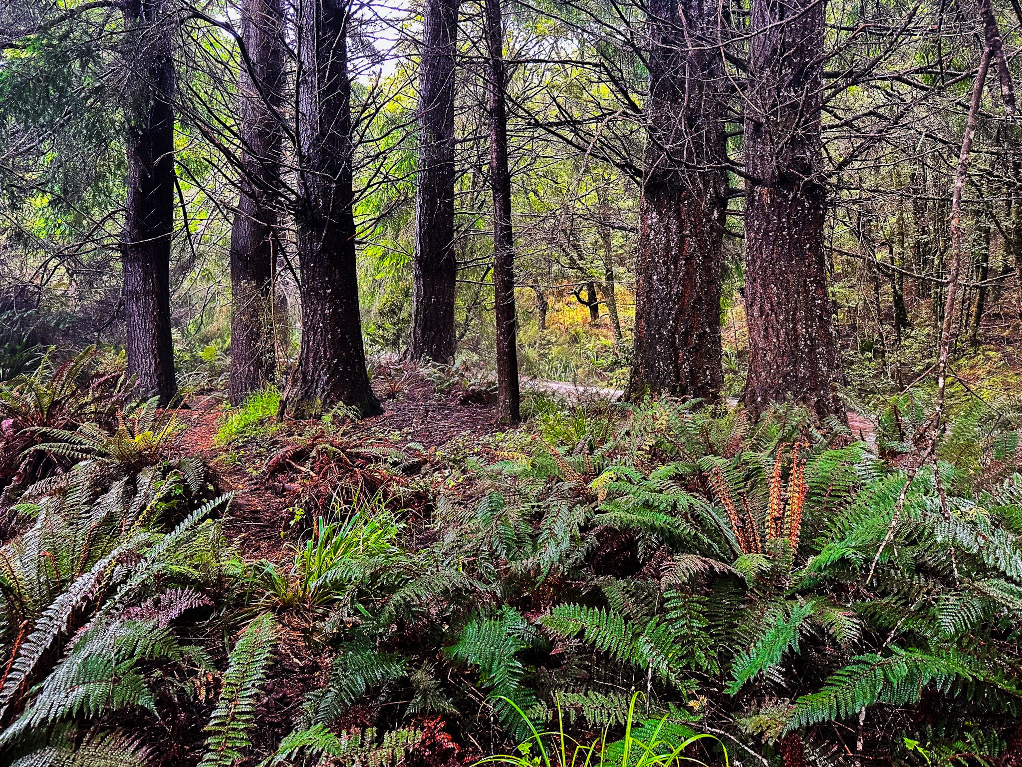
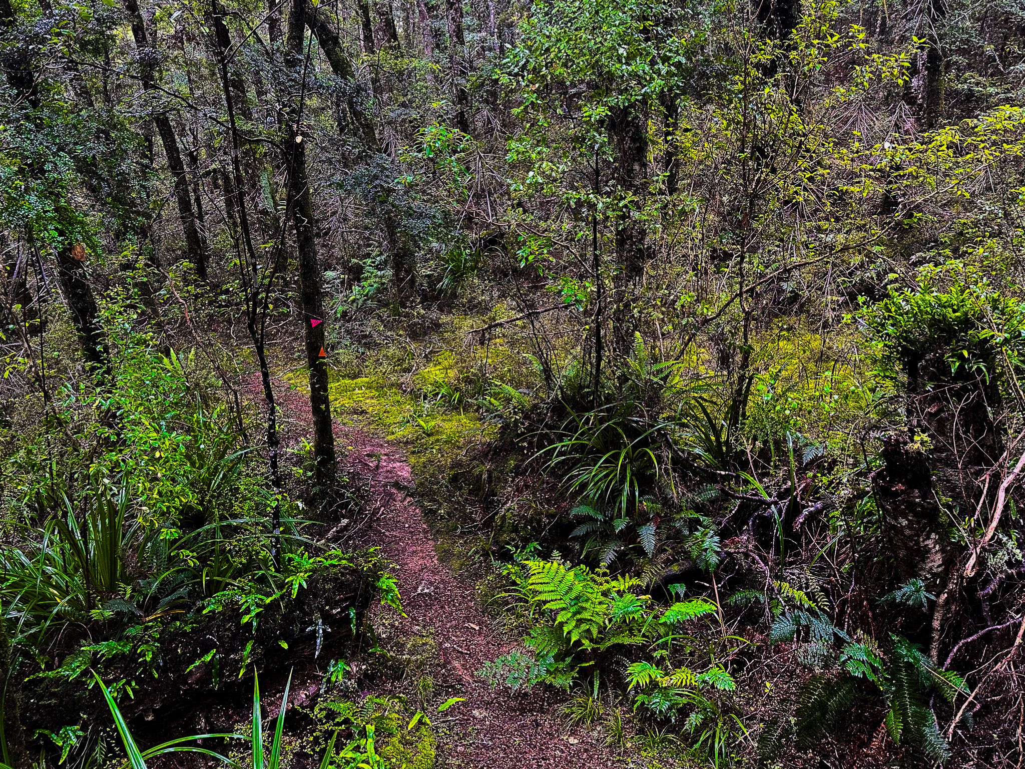
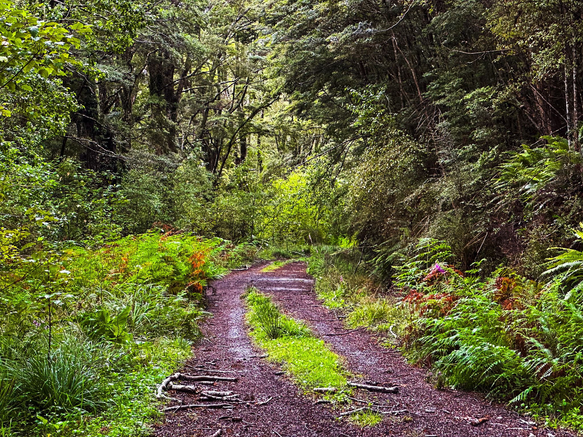
The Catlins River Walk is located on the eastern edge of the Catlins Conservation Park. This track stretches from the Tawanui campsite at the southern end to The Wisp at the northern end. The walk is mostly easy, with some short, steep sections, and takes approximately 5 to 6 hours to complete from end to end.
Walking Times and Track Details
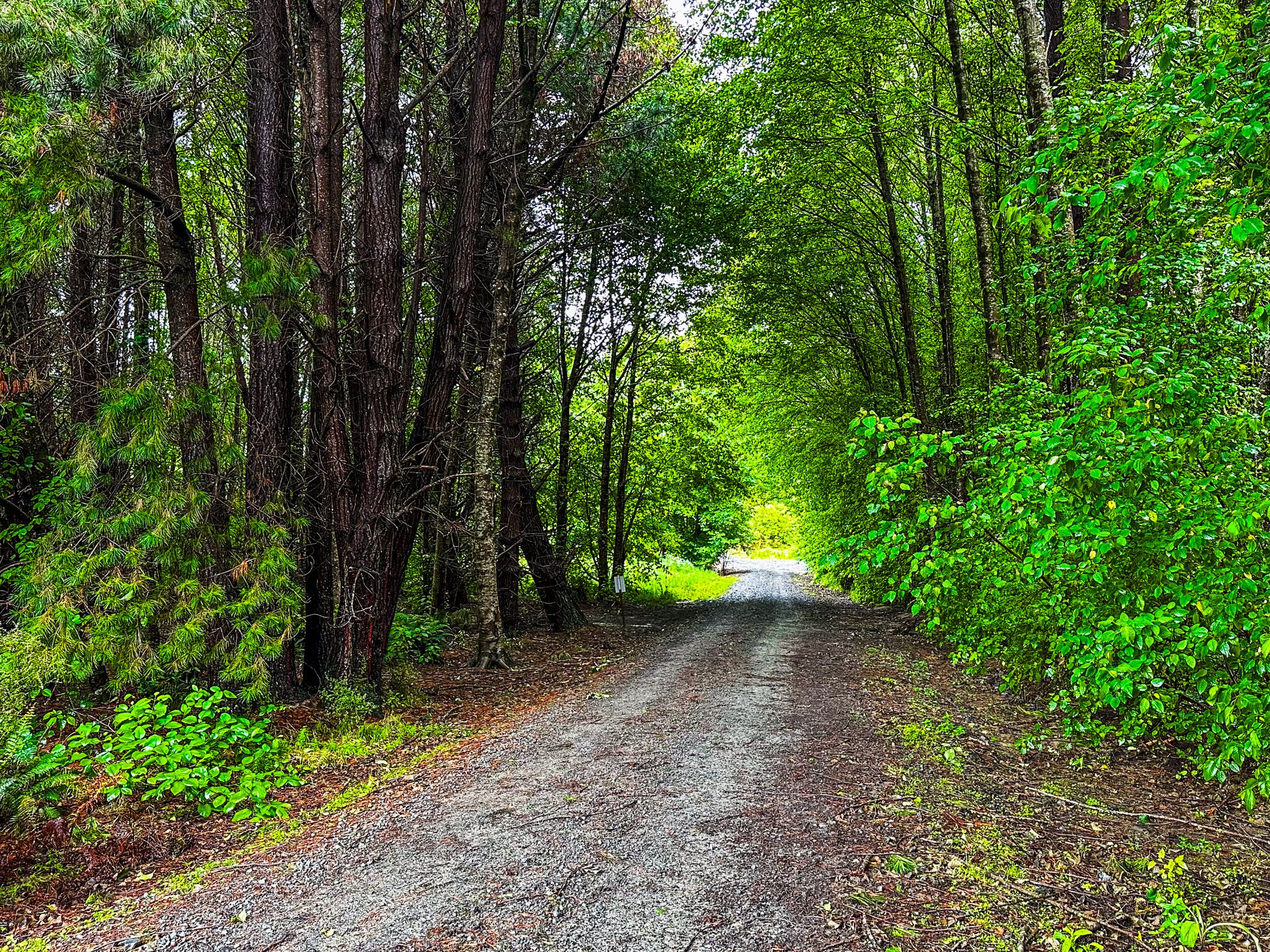
The track is divided into several sections: Tawanui to Franks Creek takes about 2.5 hours; Franks Creek to Wallis Stream is approximately 1.5 hours; and Wallis Stream to The Wisp takes around 1 hour. Driving along Catlins Road can bypass the less interesting start and end of the track, but it is a narrow and rough forestry road, best suited for AWD vehicles or mountain bikes. Visitors should check road conditions at the Owaka visitor centre, as closures can occur without warning for forestry work.
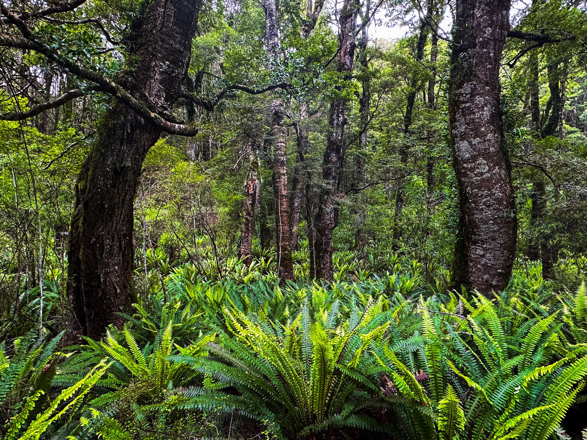
Natural Attractions and Wildlife
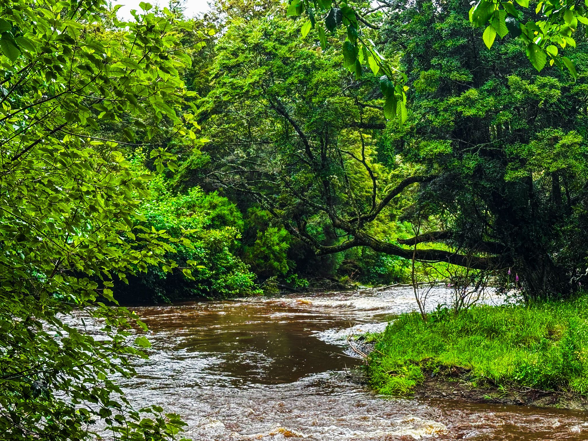
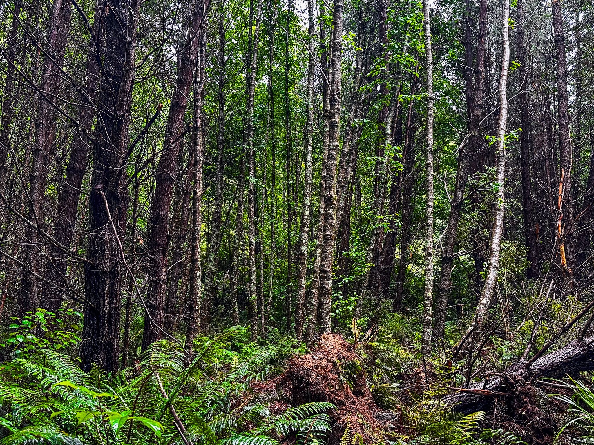
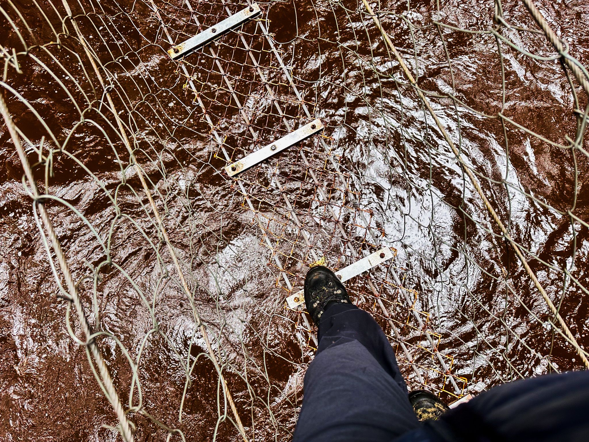
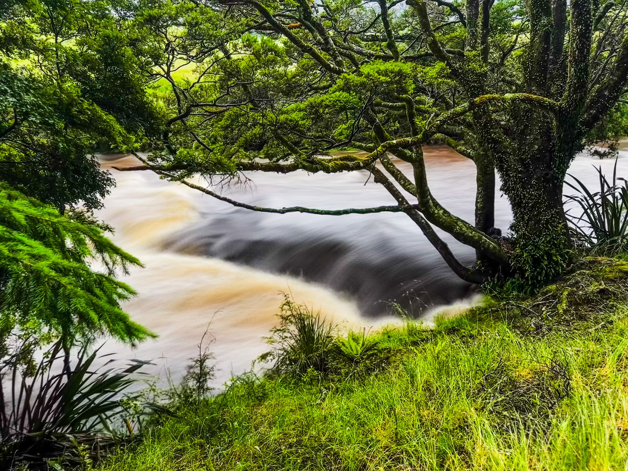
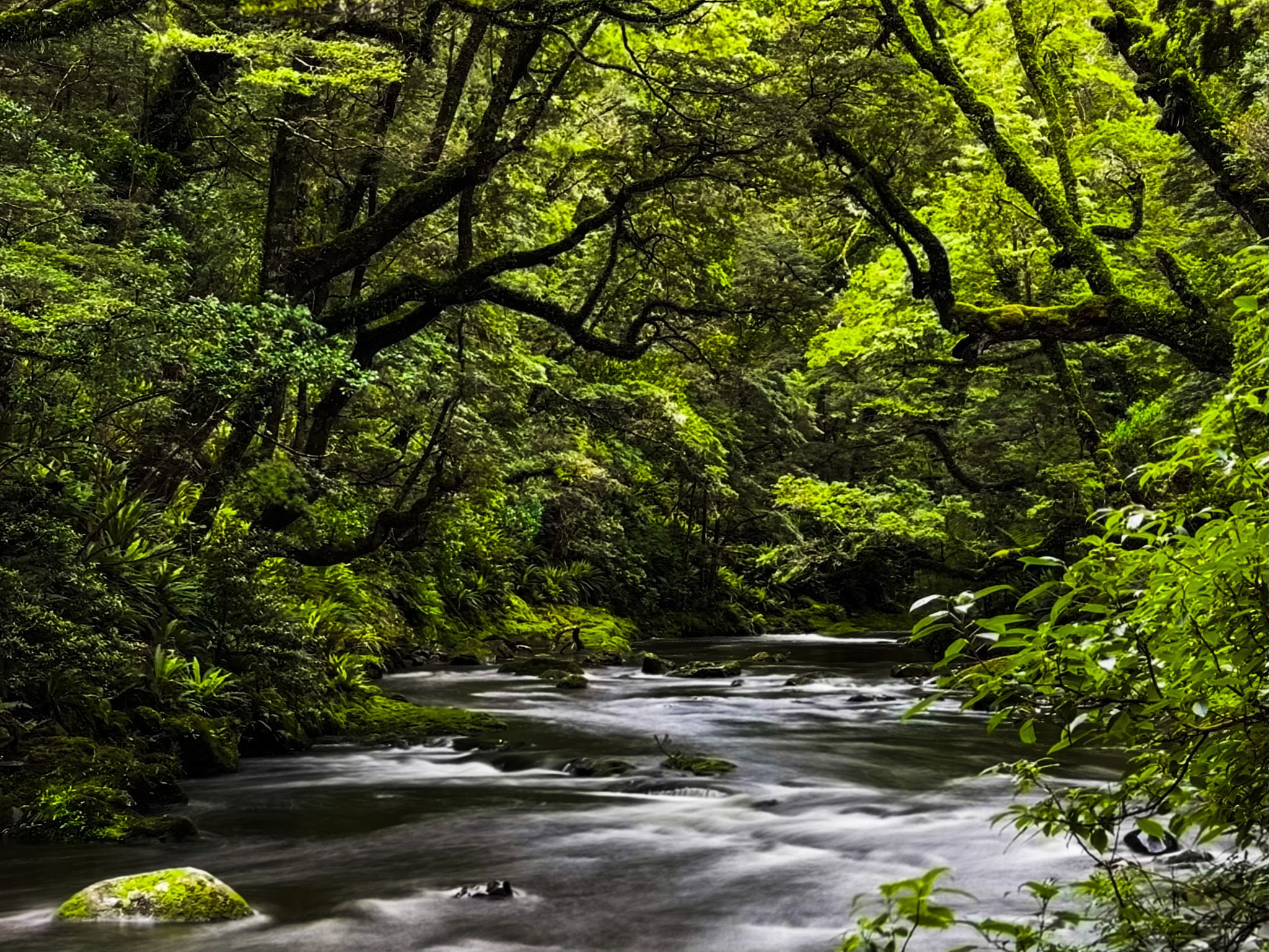
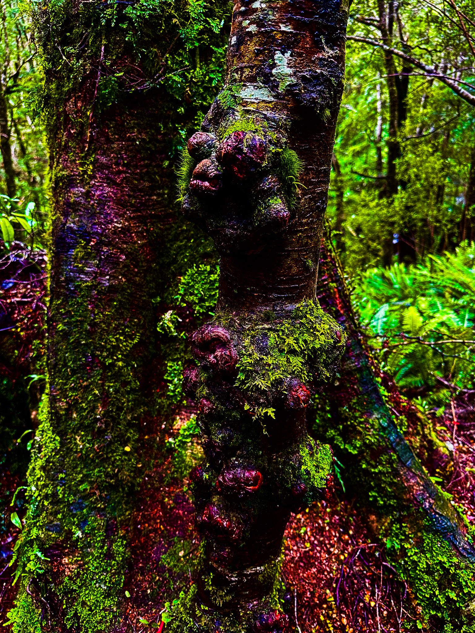
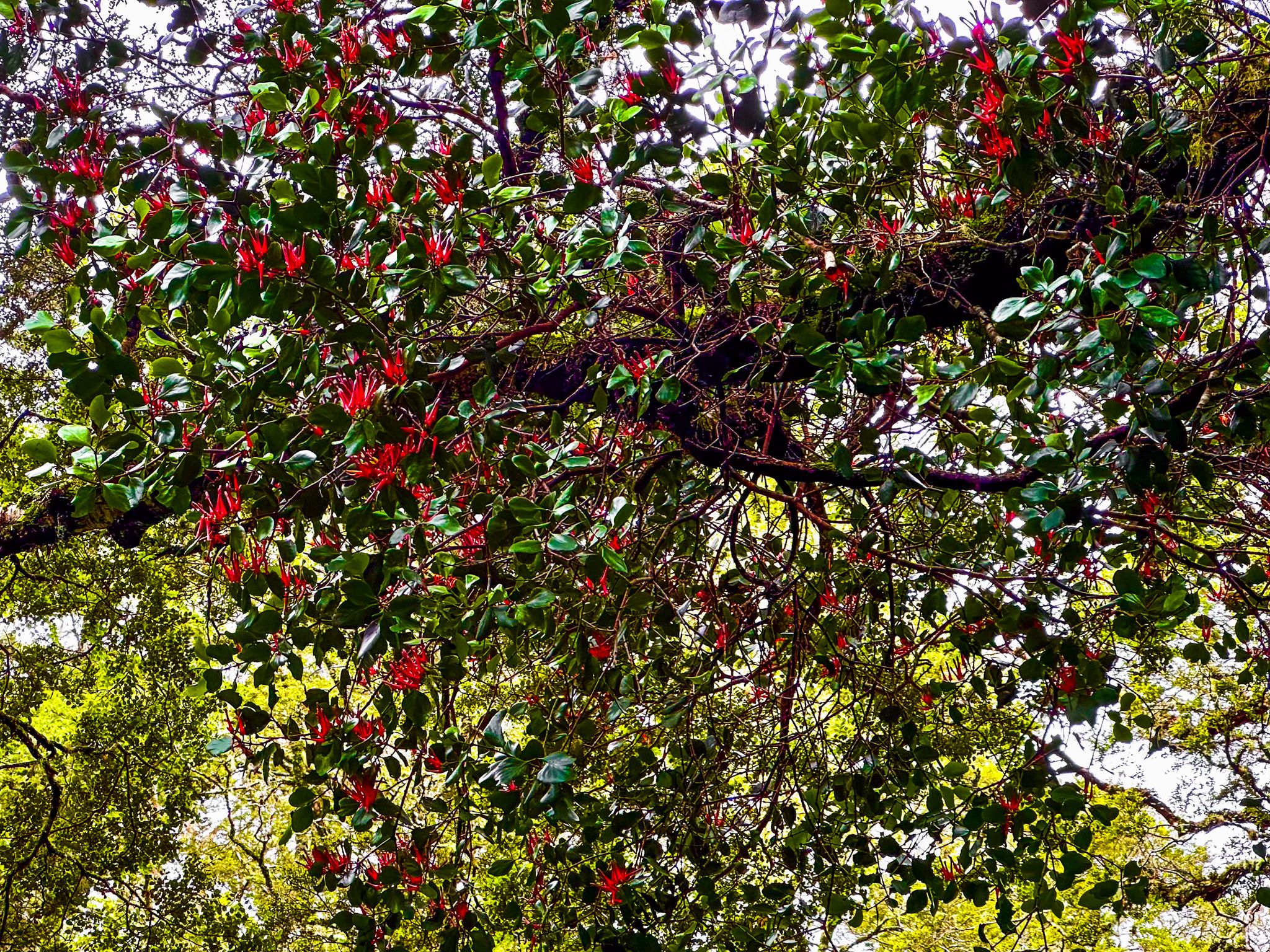
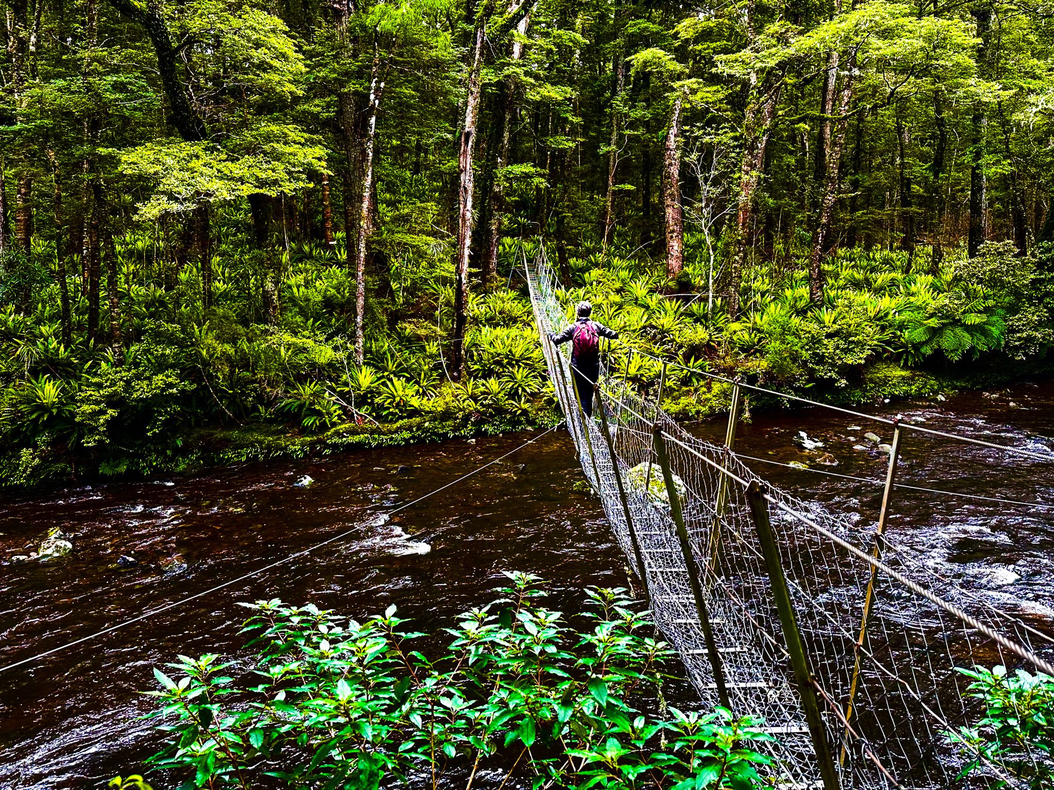
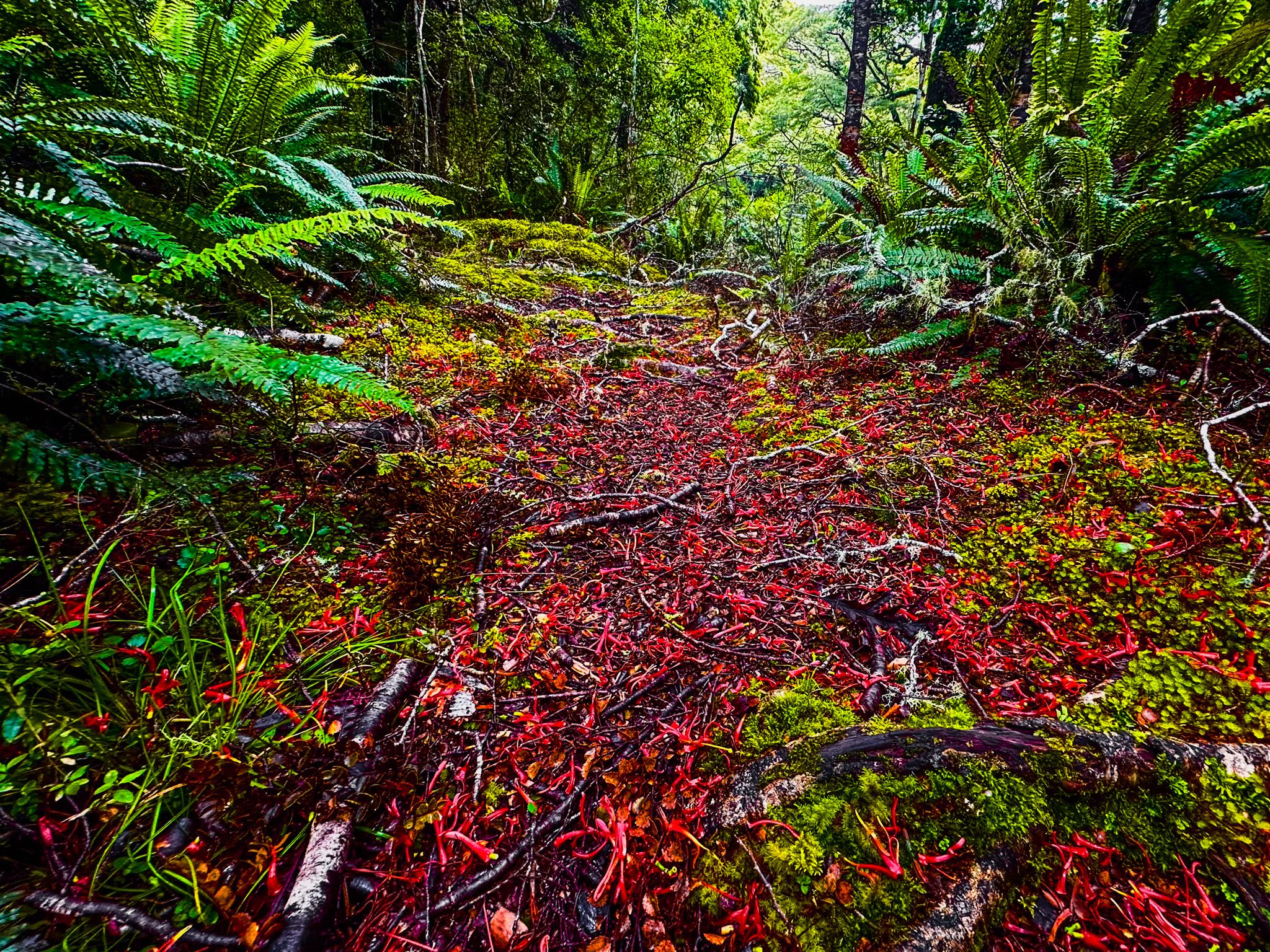
The Catlins River Walk has stunning natural features, four-wire suspension bridges and numerous rapids and waterfalls, particularly near Franks Stream. The track is also a haven for birdlife, with sightings of rare species like the rifleman and mōhua (yellowhead). In December and January, the scarlet native mistletoe flowers of Peraxilla Colensoi adorn many beech trees, especially near Franks Creek and the Tawanui campsite.
Facilities and Additional Walks
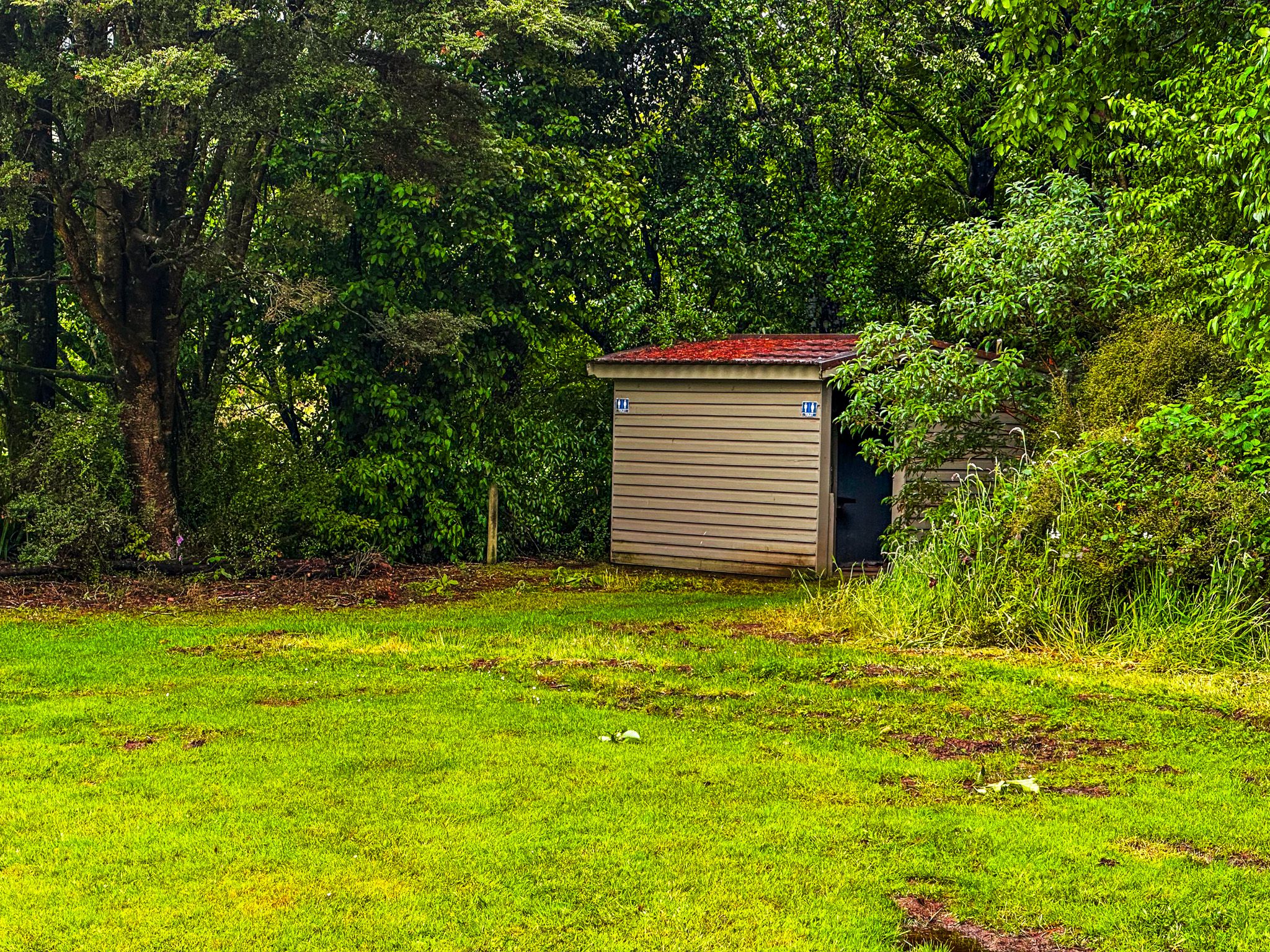
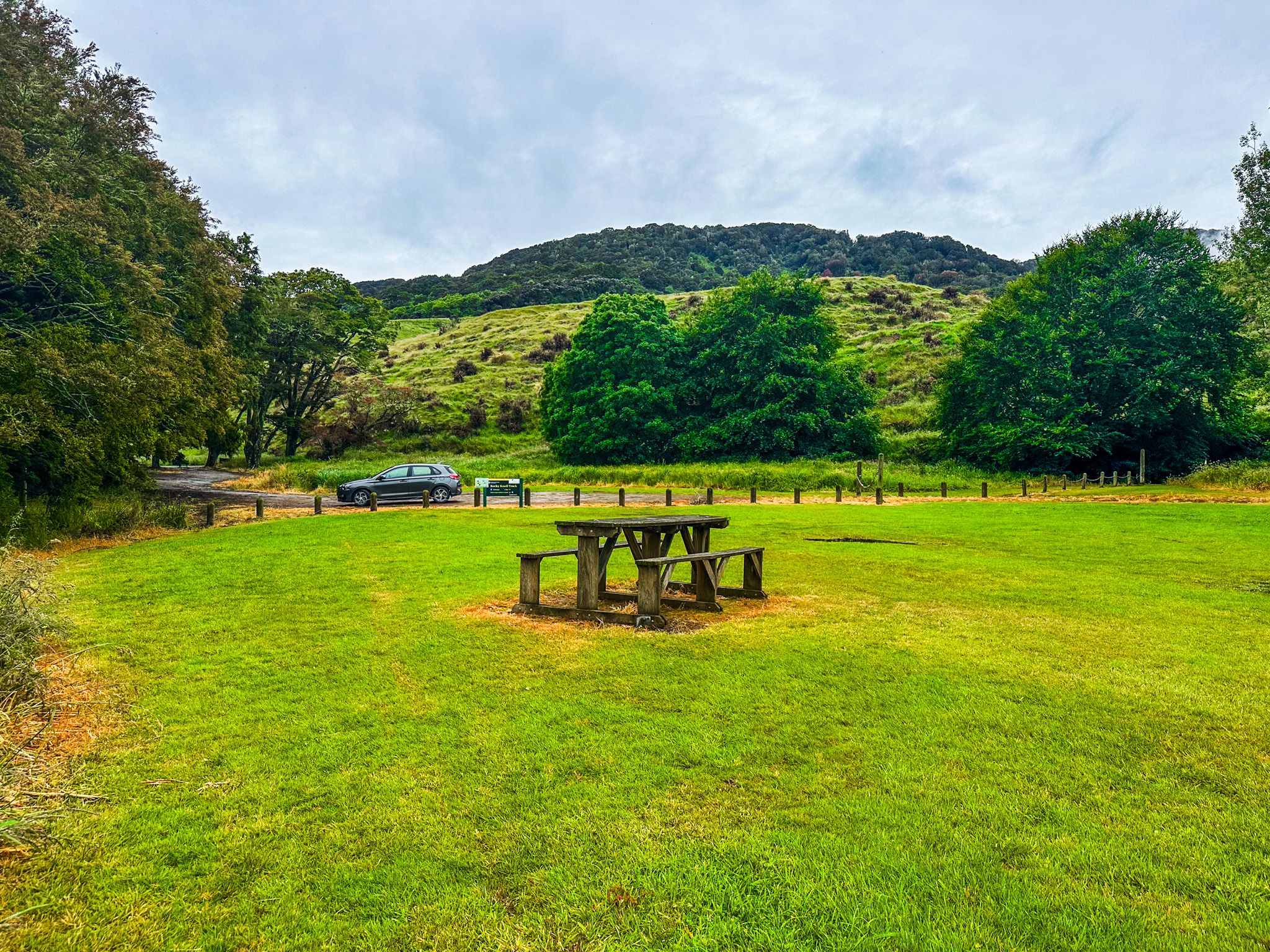
The Tawanui campsite offers ample space for hikers, with online booking available. Although there is no camping at The Wisp, visitors will find picnic tables and a basic toilet. For those seeking a longer adventure, the Wisp Loop Walk combines the river track with forestry roads, leading to the Rocky Knoll extension track. This route offers access to Rocky Knoll in the Rata Range, the highest accessible point in the Catlins at 500 metres.
How to Get There
To reach The Wisp, drive northwest from Owaka on Owaka Valley Road for 16.9 km, then turn southwest onto Chloris Pass Road. This 5.6 km gravel road crosses a pass between the Rata Range and the Wisp Range, offering views of flowering rata trees in December and January. Catlins Road connects with this route before the pass, though it is unsigned and easy to miss.
For the Tawanui campsite, there are two routes. One option is to take Owaka Valley Road and turn southwest onto Morris Saddle Road after 7 km. This scenic gravel route provides stunning views from the Rata Range's south side. Alternatively, follow the Southern Scenic Route past Catlins Lake towards Papatowai. After 10 km, head north on Catlins Valley Road, which meanders alongside the river to Tawanui. From there, turn north onto Morris Saddle Road, then west onto Catlins Road to access the Tawanui Campsite.