Discover Te Ara Hura on Waiheke Island
Te Ara Hura, meaning "Discover the Way," is an 87-kilometre trail loop encircling much of Waiheke Island. Located in the Auckland region, this trail offers a unique opportunity to explore the island's diverse landscapes over four to six days. However, if you're short on time, you can choose shorter walks of no more than an hour from various access points. Along the way, you can enjoy visits to local wineries, restaurants, and cafés for a comfortable and enjoyable experience.
Trail Highlights and Routes
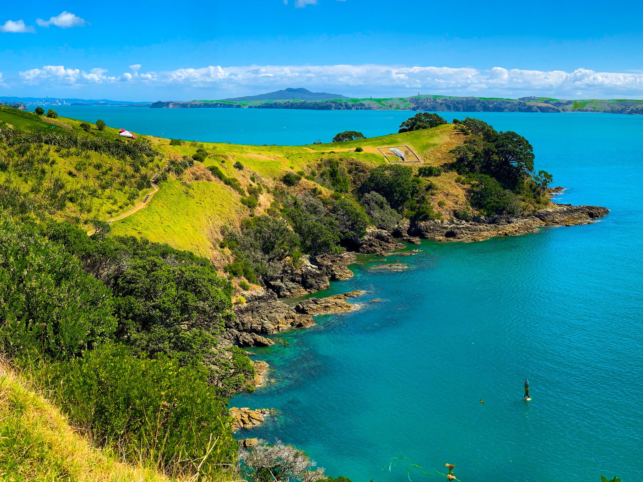
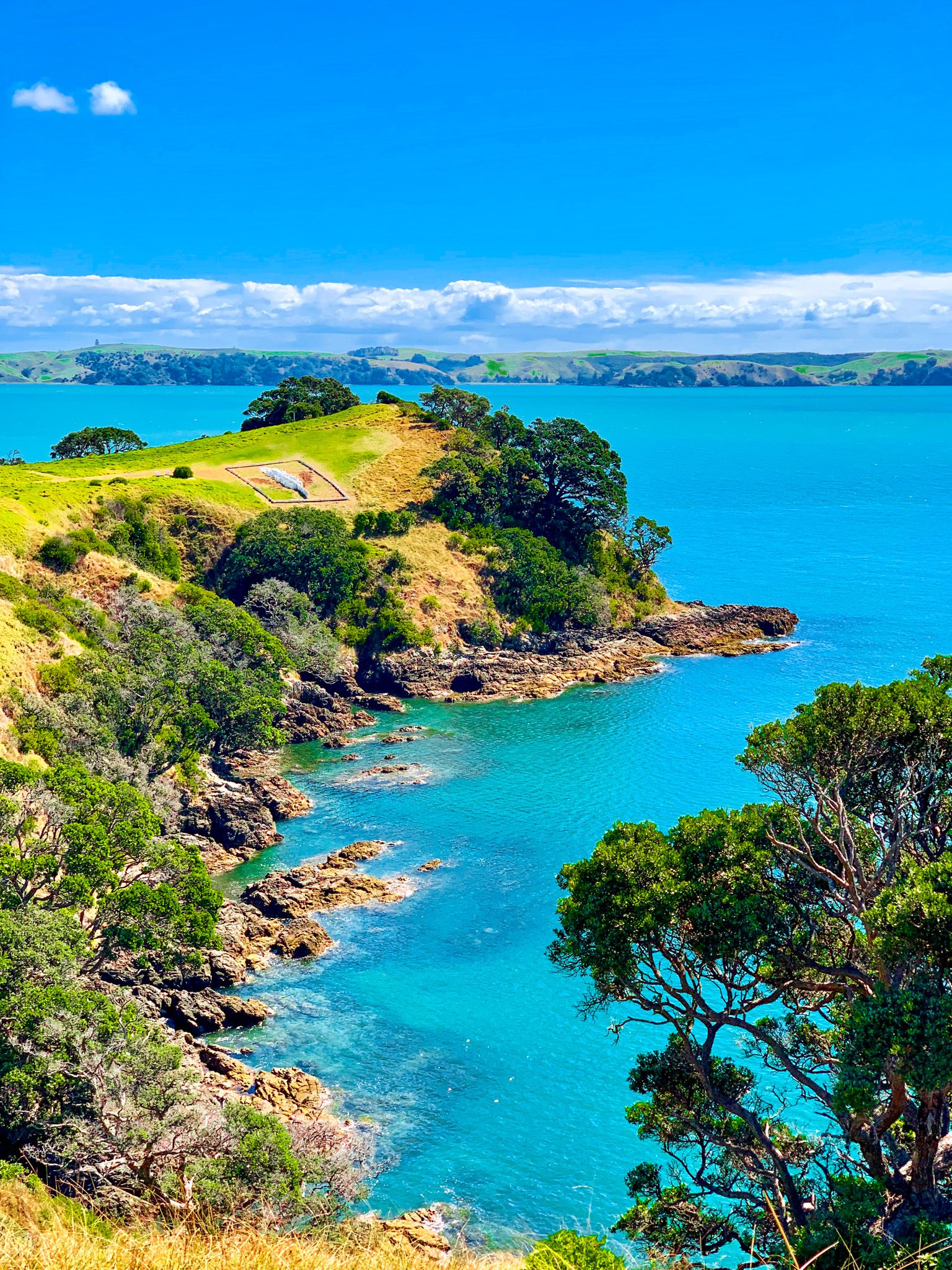
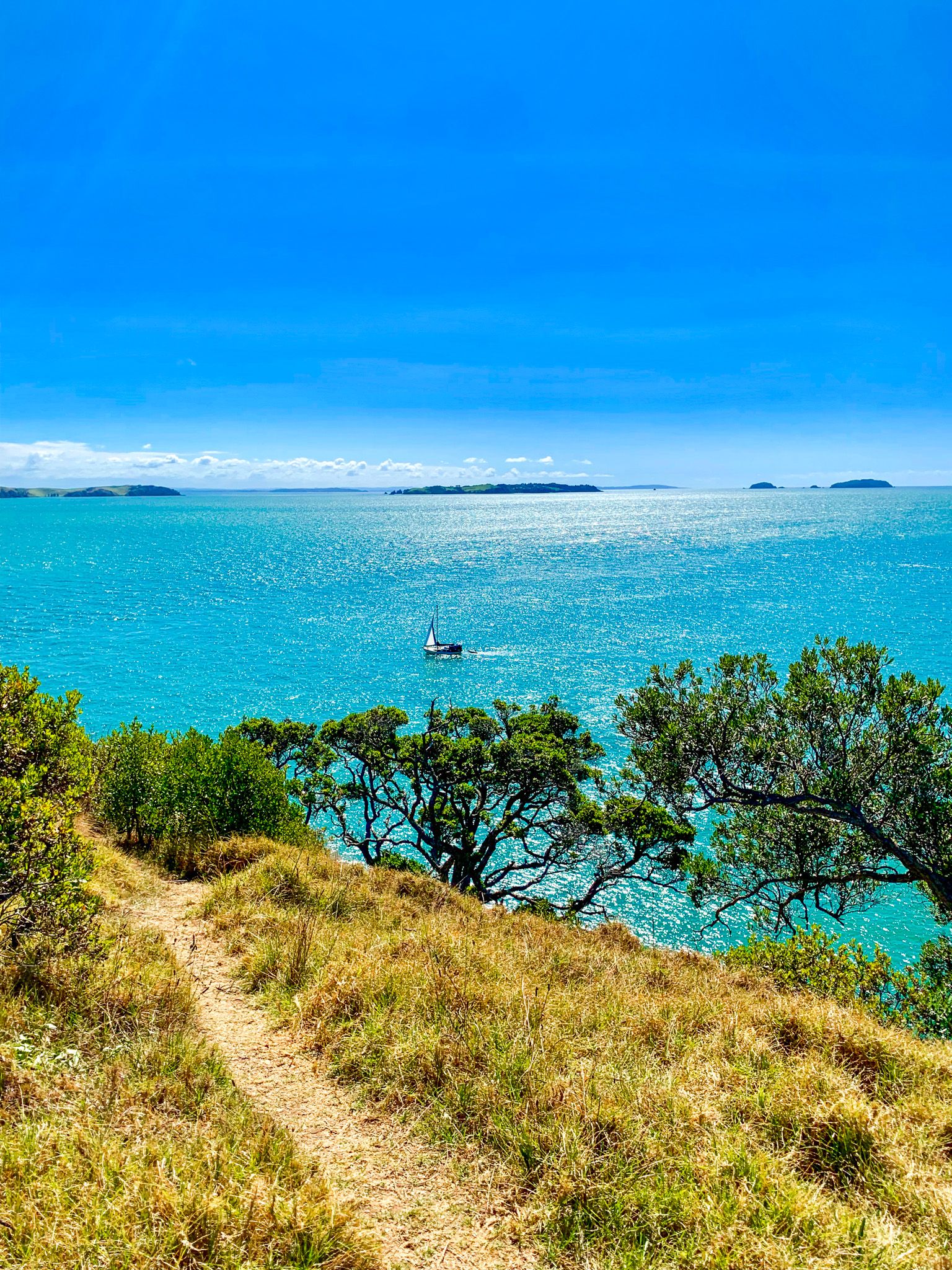
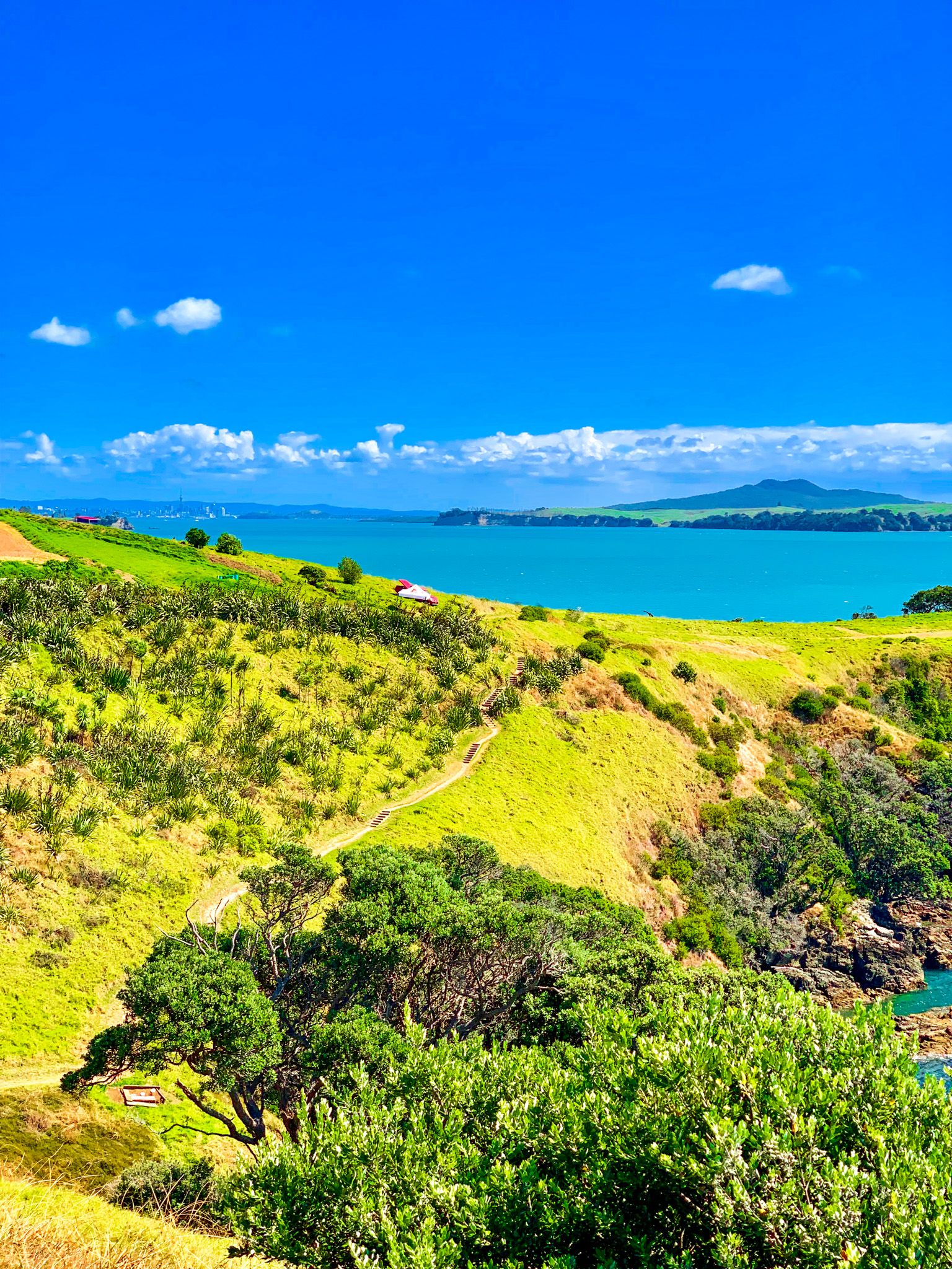
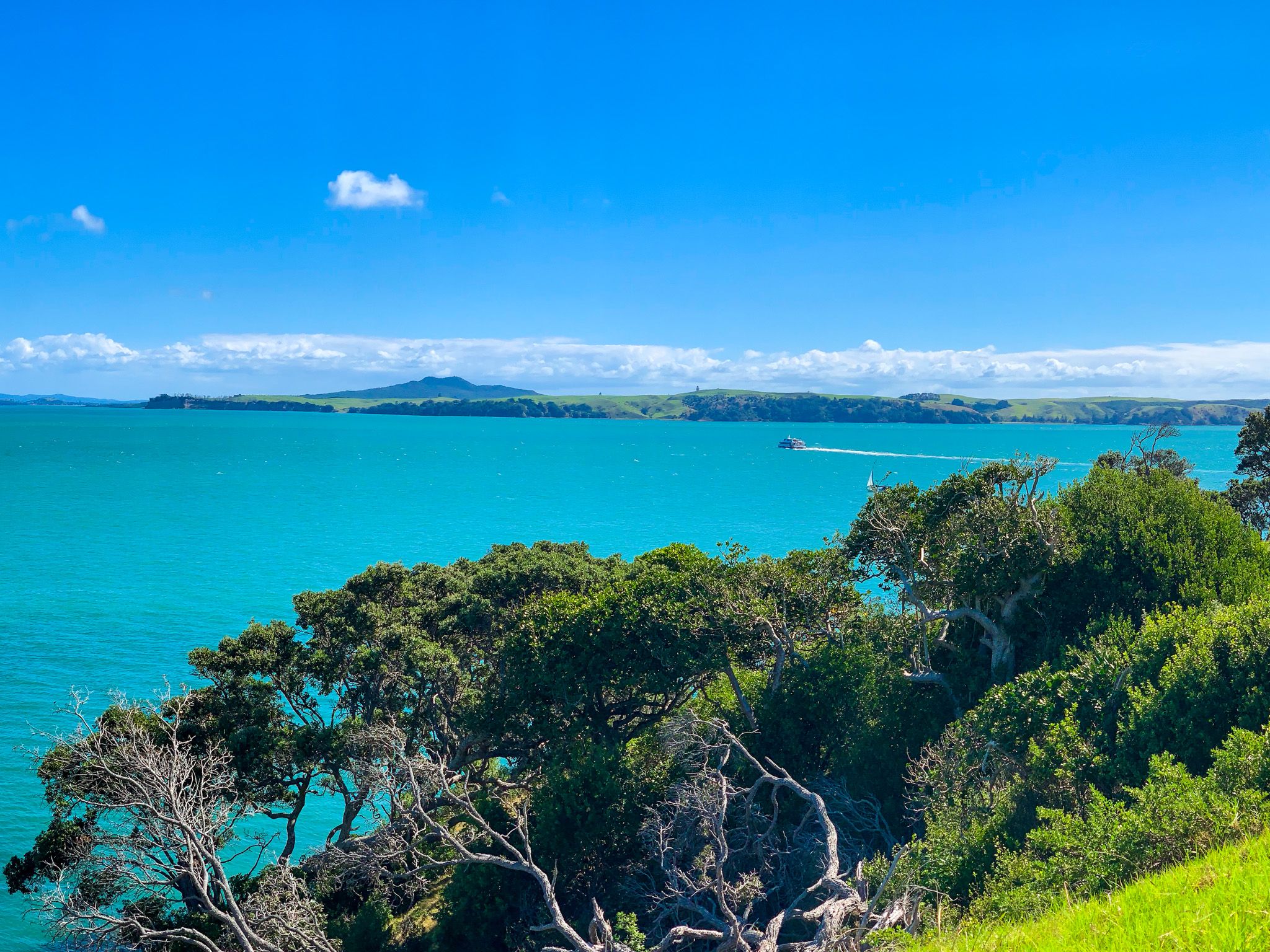
The trail begins at Matiatia Bay, near the Ferry Terminal on the island's east end. From here, you can choose to head northwest or southwest, with both routes eventually leading to Oneroa. The southwest path takes you along Matiatia Beach and westward to Whutumatarau Point, passing through regenerating forest with stunning views of the Hauraki Gulf. Look out for vistas of Downtown Auckland, Motutapu, Rangitoto, and Motuihe Islands.
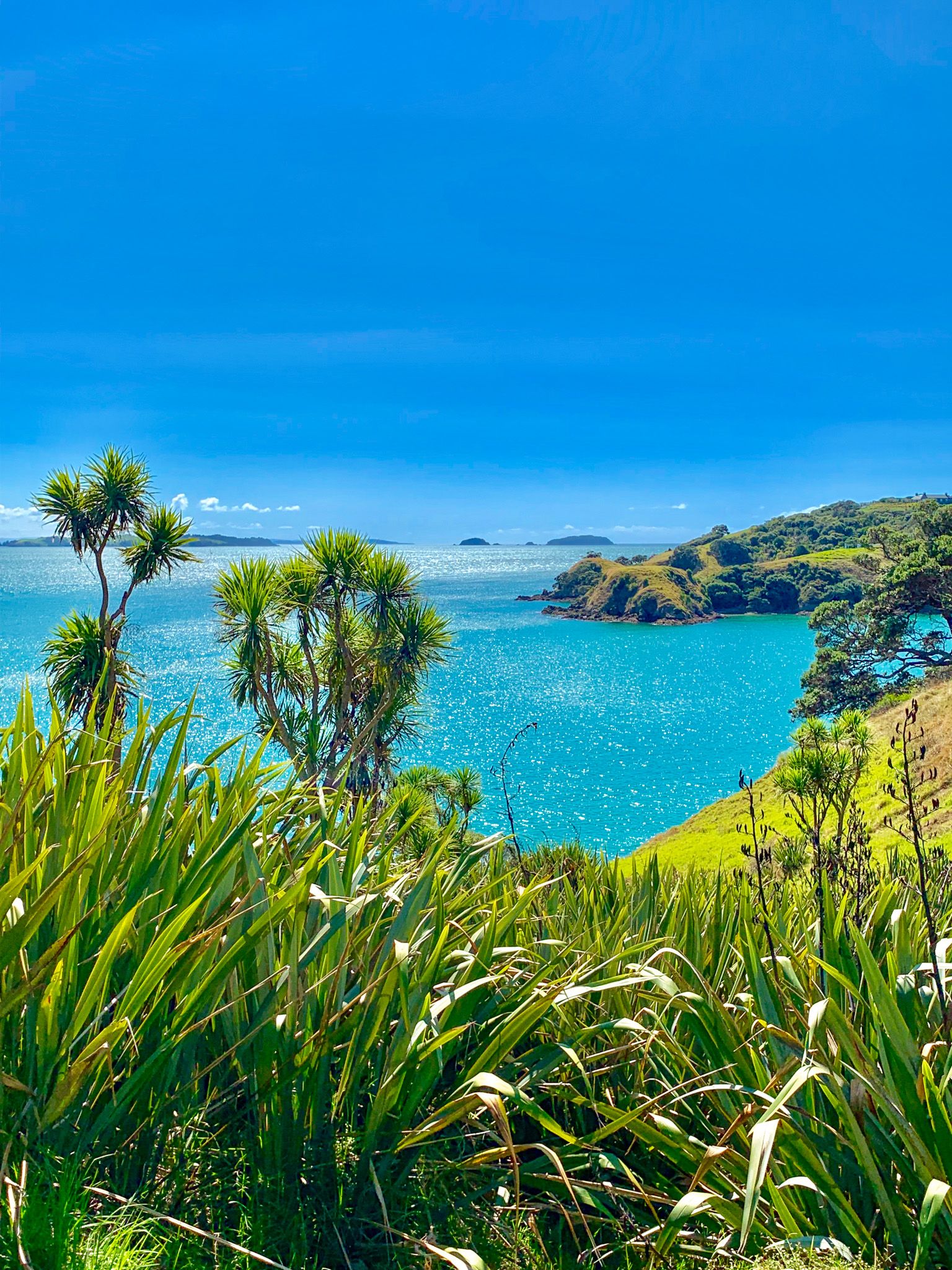
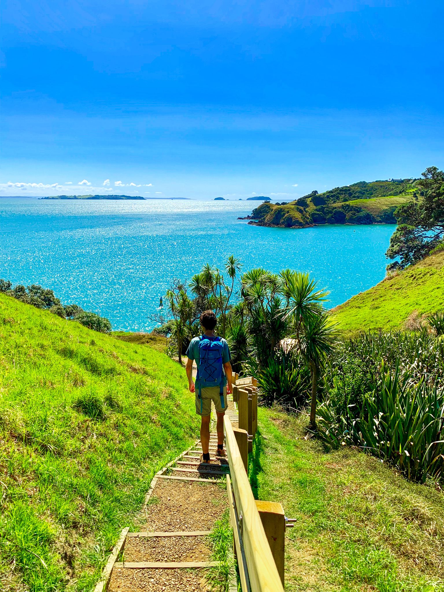
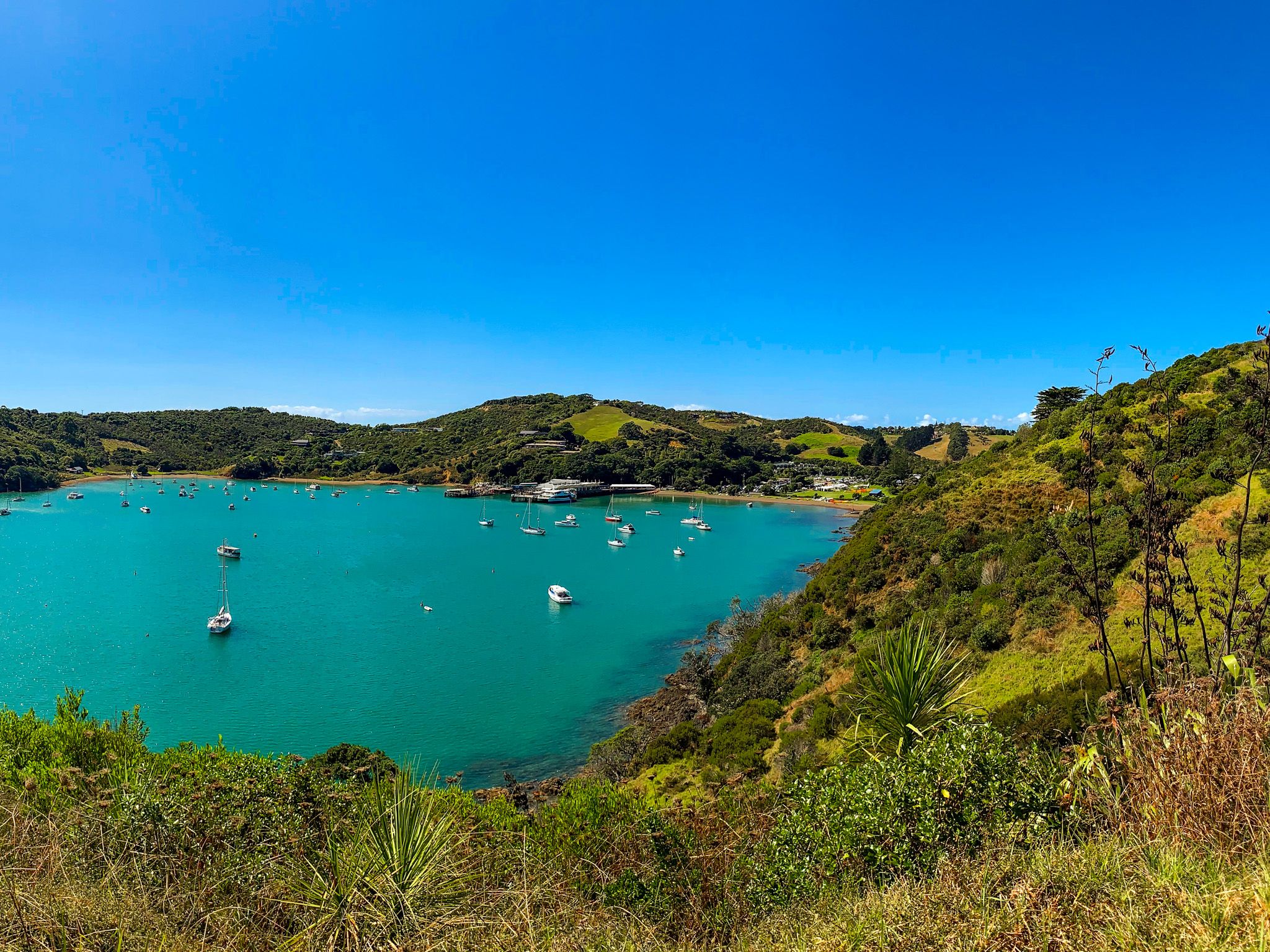
The trail then descends towards the coastline, continuing south to Te Miro Bay. From here, you can either head inland to Nick Johnstone Drive, which leads to several wineries and Oneroa, or continue south to Church Bay, Cable Bay, and Park Point (Te Roreoaimaea). Note that due to slips, Church Bay is only accessible at low tide along the coast. From Park Point, the trail loops north to Church Bay Road, connecting with more wineries and Oneroa.
Seasonal Attractions and Trail Conditions
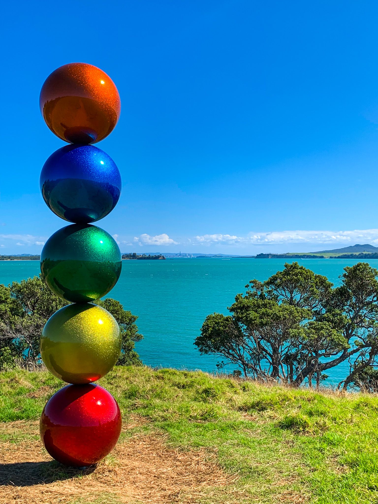
During late summer, from around 24 February through March, the annual Sculpture on the Gulf exhibition takes place along the section of the trail overlooking Matiatia Bay.
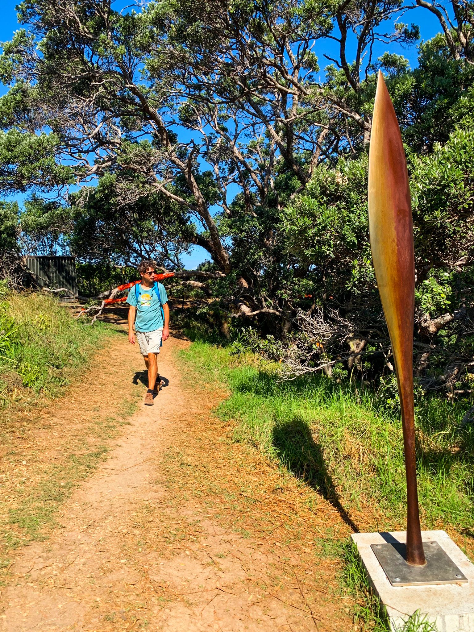
Keep in mind that much of the trail is dirt, which can become muddy in wet weather, so plan accordingly.
How to get there
Take a ferry to Waiheke Island from the ferry terminal in Downtown Auckland to reach Matiatia Bay. The trail begins right by the Ferry Terminal.
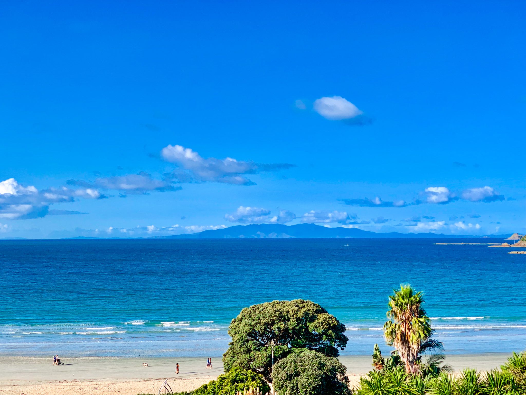
You can also walk around the north side of the bay to connect with Te Ara Hura, Northwest Coast to Oneroa. Other places to visit on the island include Palm Beach, Onetangi, Stony Batter and Man o'War Bay.