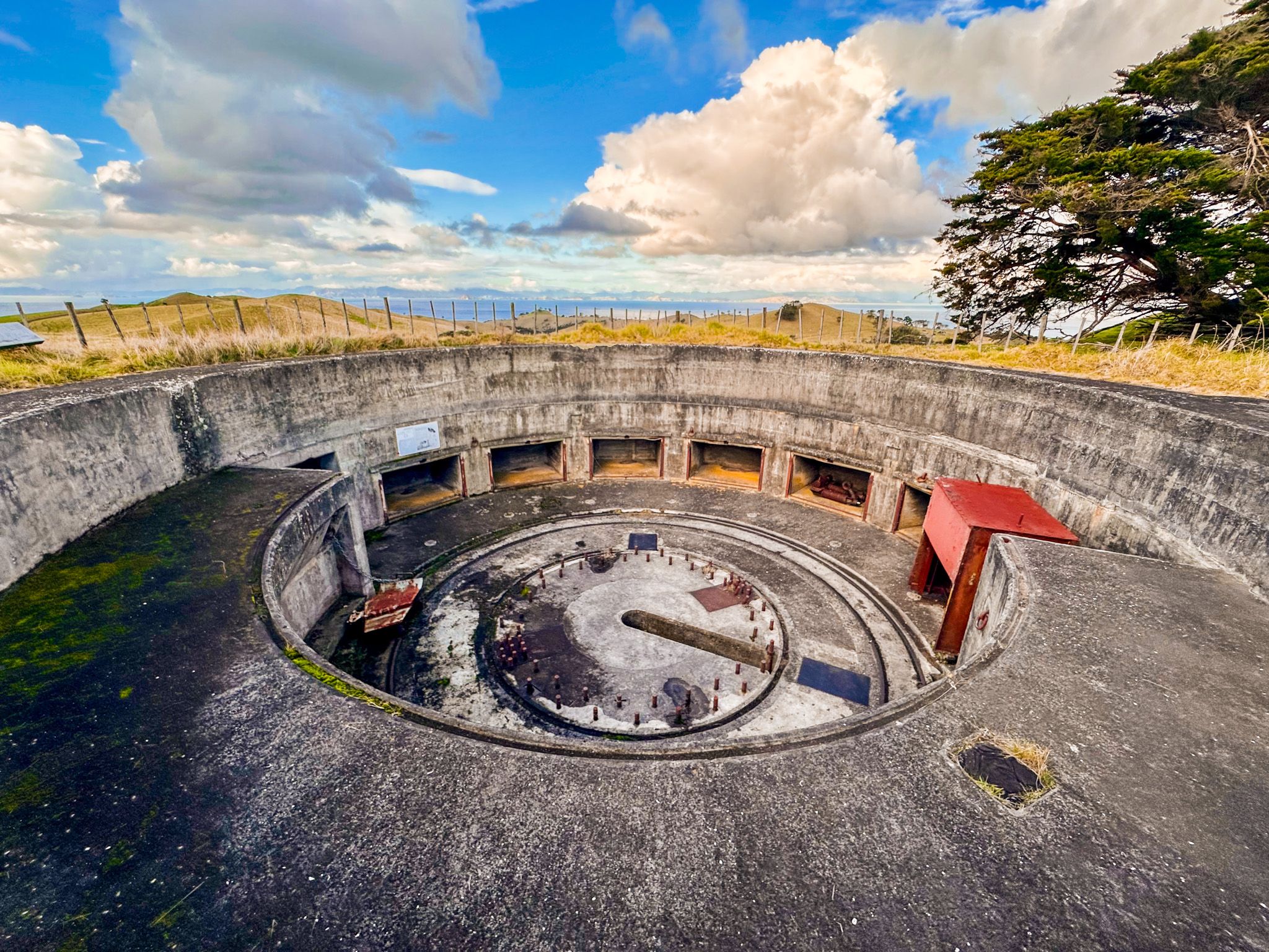
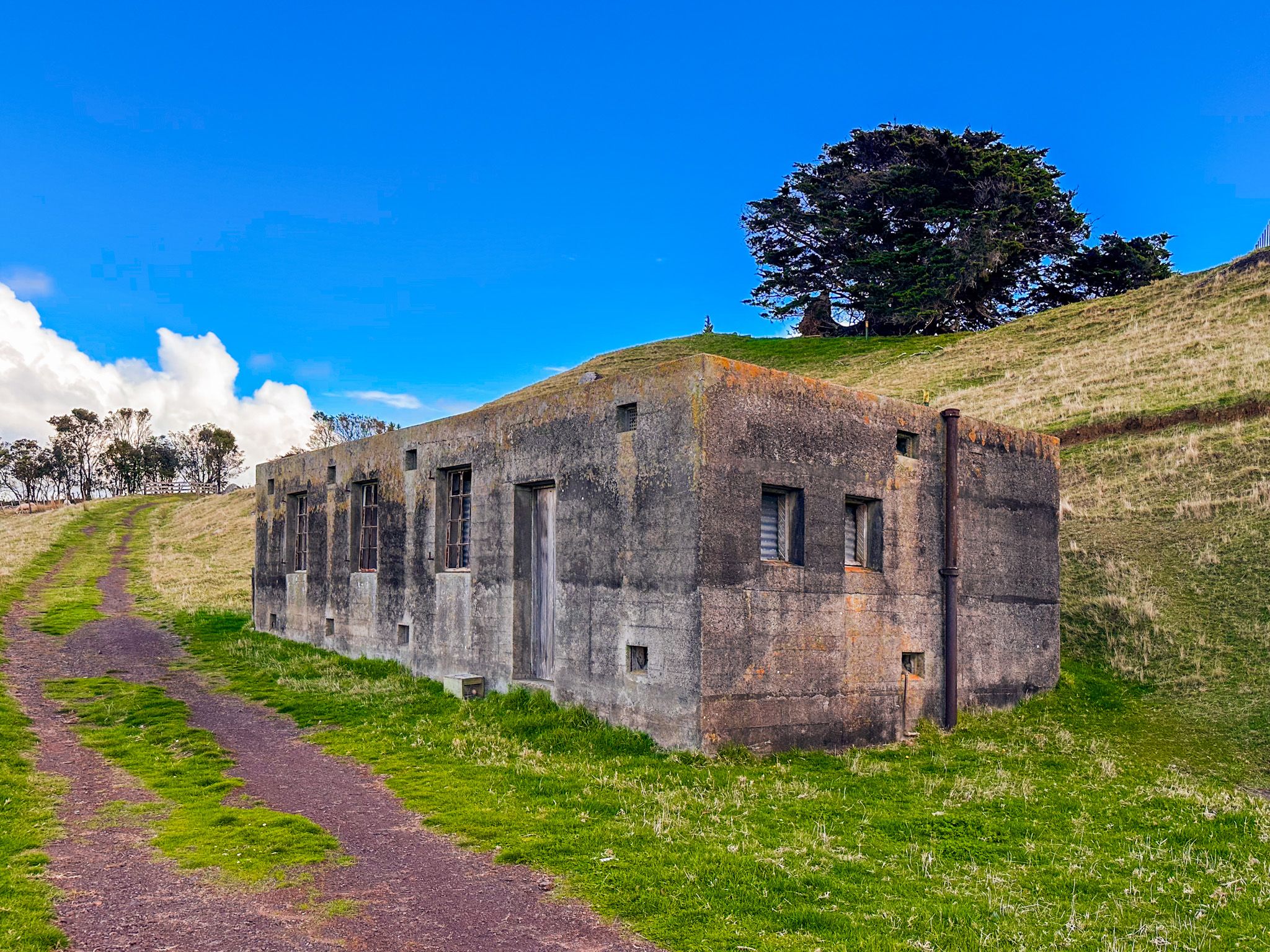
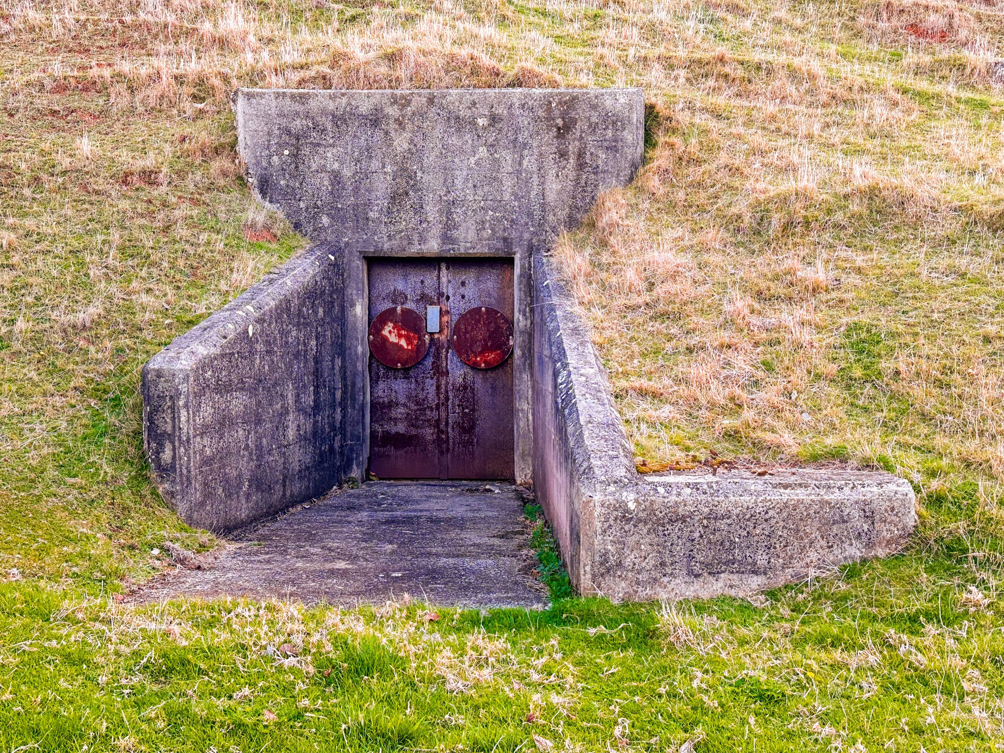
Stony Batter on Waiheke Island was one of several sites selected for a WWII Coastal Defence system, resulting in the development of the Stony Batter Fortress. From the site, there is an uninterrupted view of the Hauraki Gulf and the approach to Auckland. Development of the underground fortress with its three gun emplacements started in 1942 in secrecy. Similar gun emplacements were developed on Whangaparaoa Peninsula and Motutapu Island, with observation posts on Rangitoto Island and Tiritiri Matangi. This network was intended to engage enemy ships at ranges of over 30 km, well beyond the ability of most to fire back.
The guns were never fired in anger and were eventually removed. The site was derelict for many years, and the landowner blocked access. However, it remained well-preserved, and public access was restored in 2001. The Stony Batter Protection and Restoration Society took over the management and restored tunnel access. Under a DOC concession, the tunnels were reopened for guided public visits in 2020. The wider site and empty emplacements can be visited anytime.
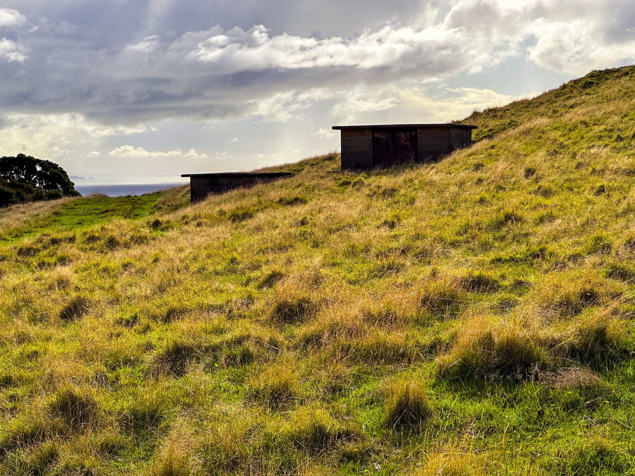
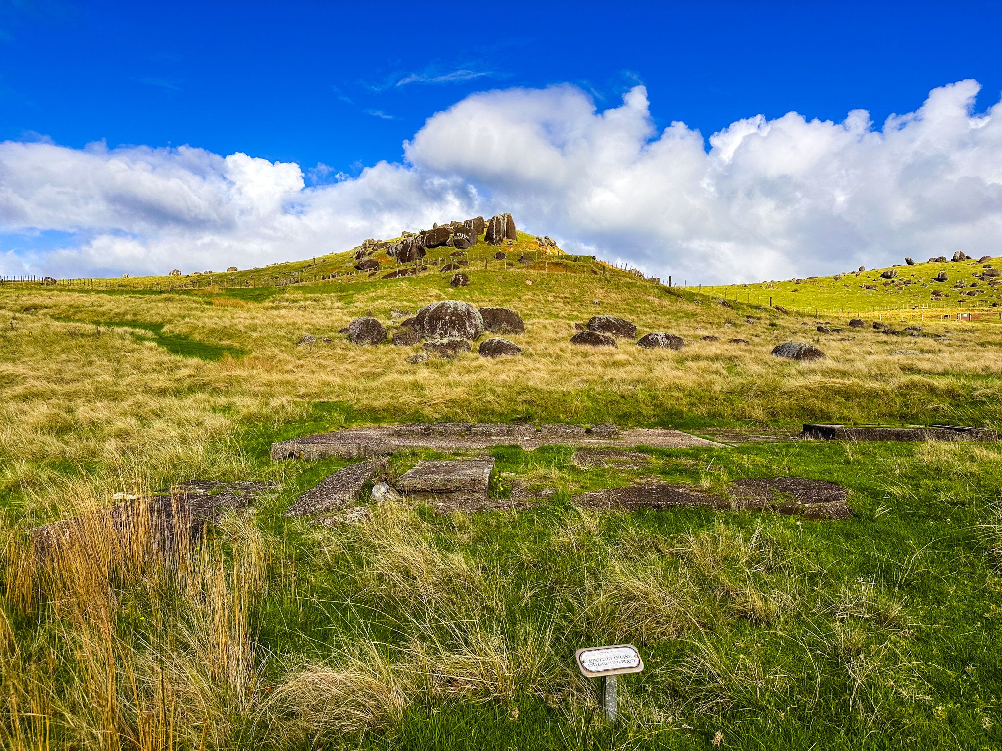
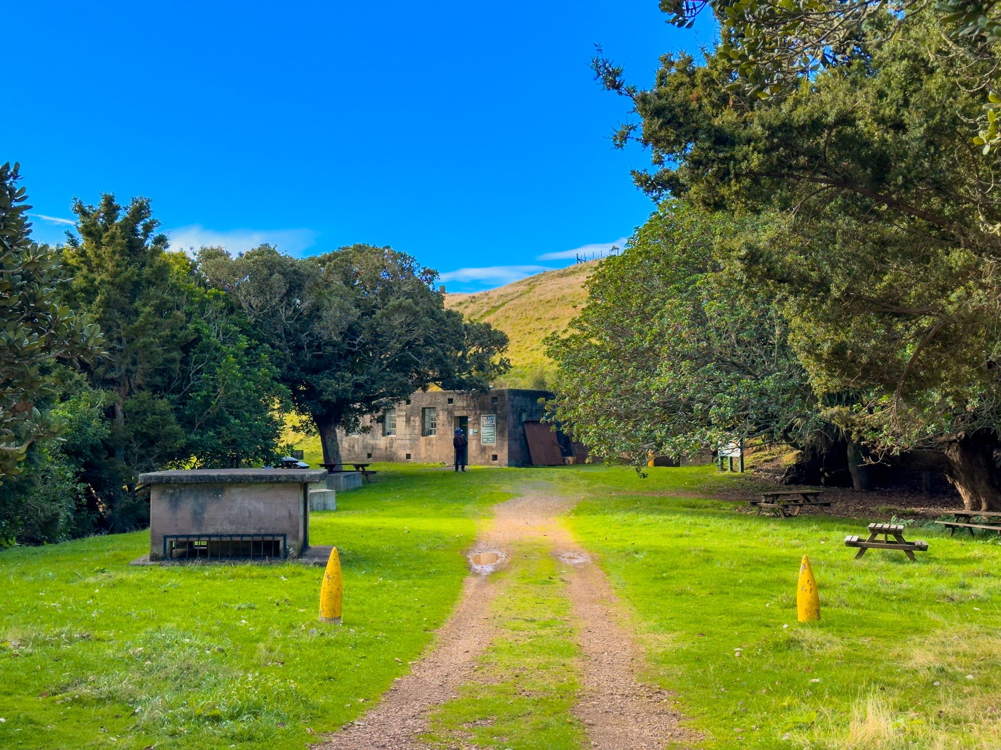
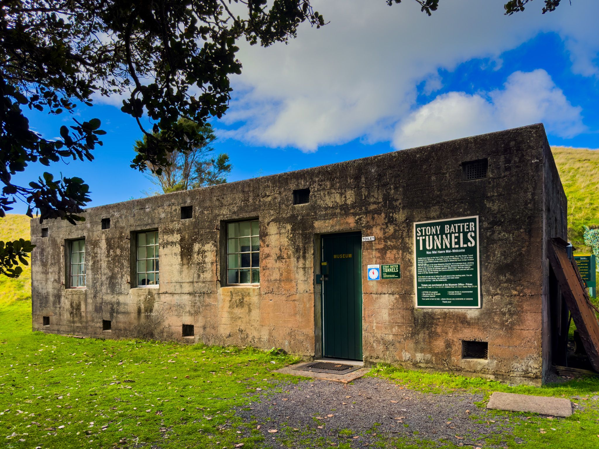
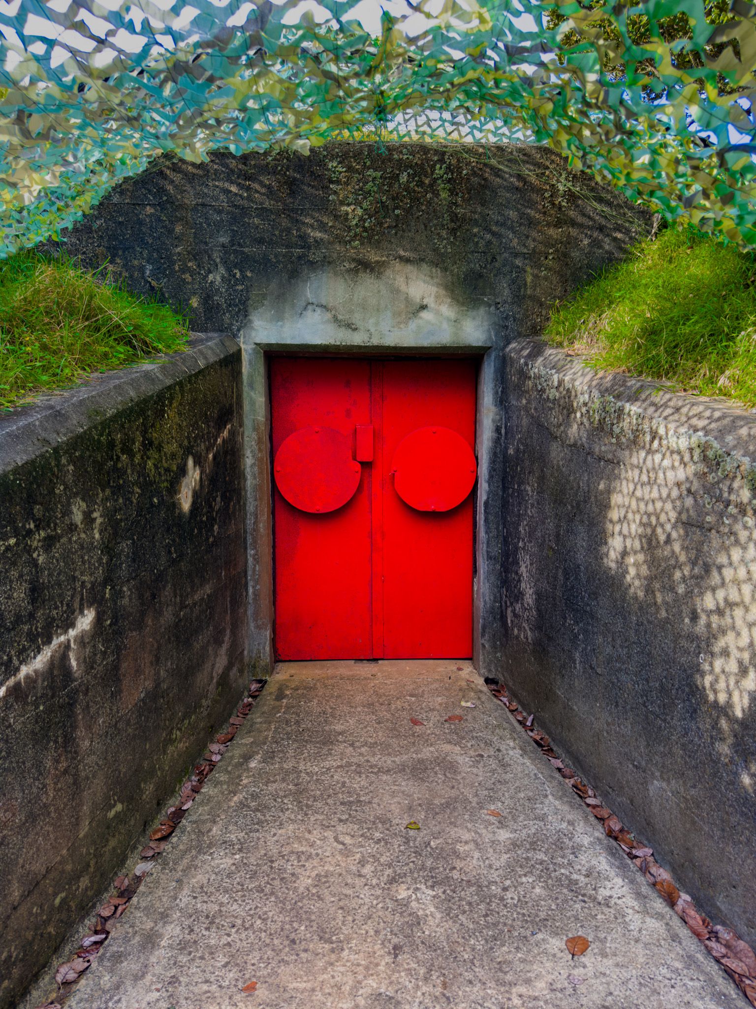
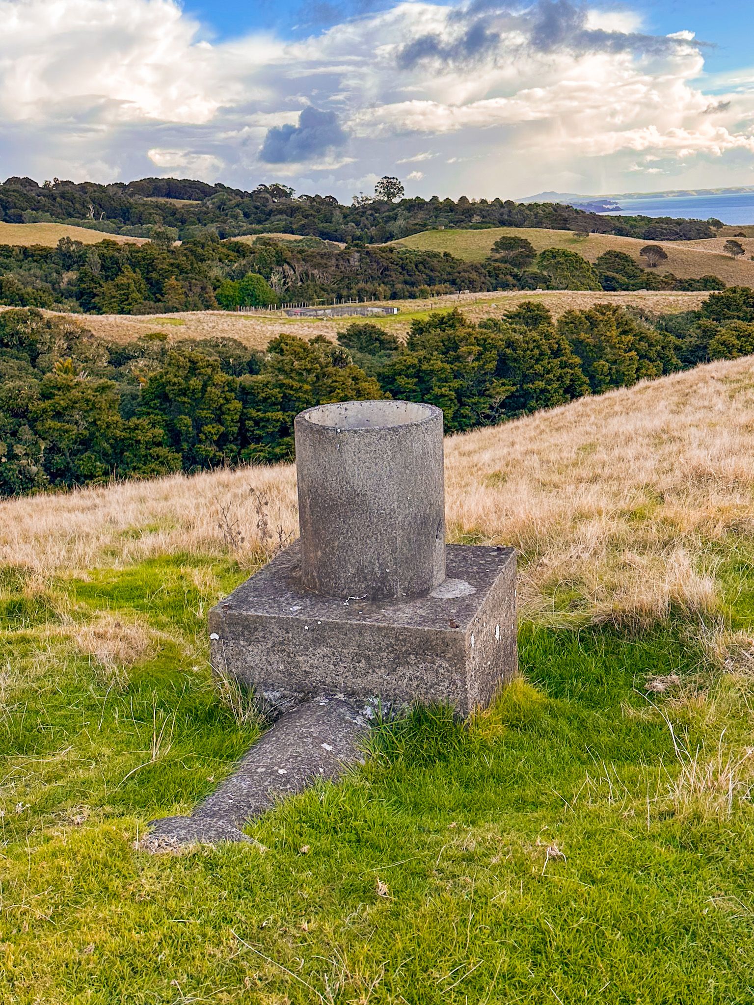
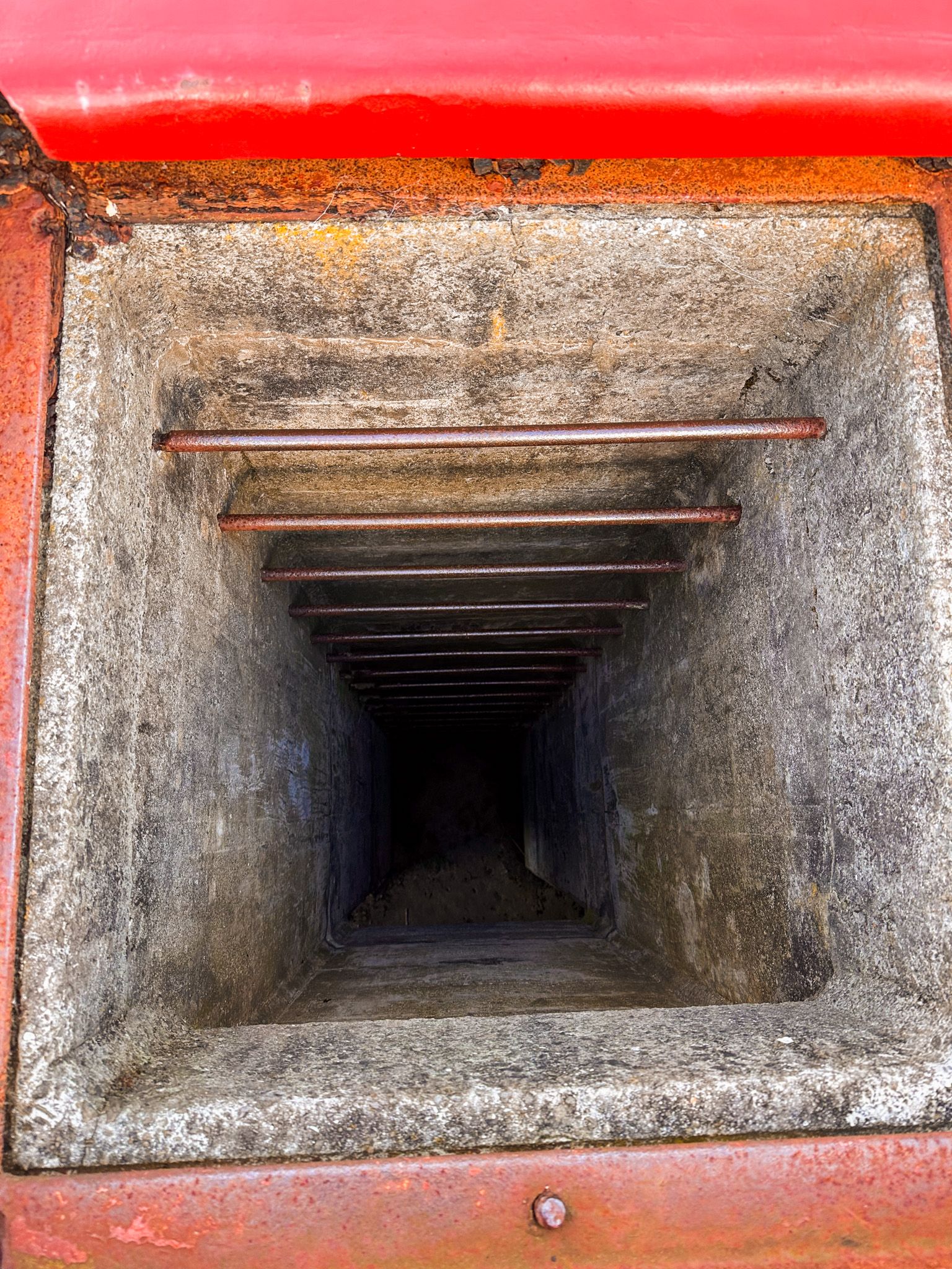
From the signposted reserve entrance on the Stony Batter Walk, follow the path towards the group of trees picnic area and small reserve museum. You will see several small signs that mark the location of buildings that have long been removed. The museum is an old bunker, and the main tunnel access is just to the right. Neither is always open, so check the website here. You may also want to ring in advance. The tracks around the reserve are not particularly well marked, but you can walk up the hill, spot air vents, and find the three gun emplacements. One is to the museum's west through the trees, and two are to the east on the top of the hill.
To reach Stony Batter from Onetangi, take Waiheke Road to Man O’War Road, then Stonybatter Road. Park in the car park at the end of the road and walk 2 km to the reserve along the private road. From Stony Batter, you can also walk to Hooks Bay and Opopo Bay.
