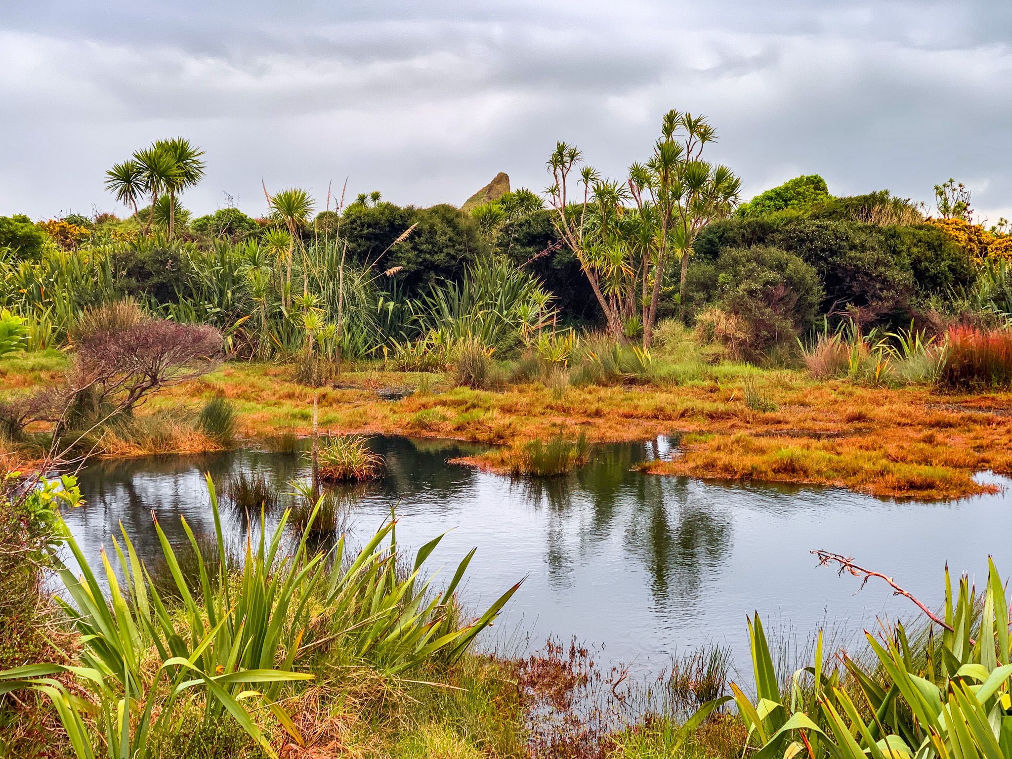
Exploring Whatipū and Surrounds
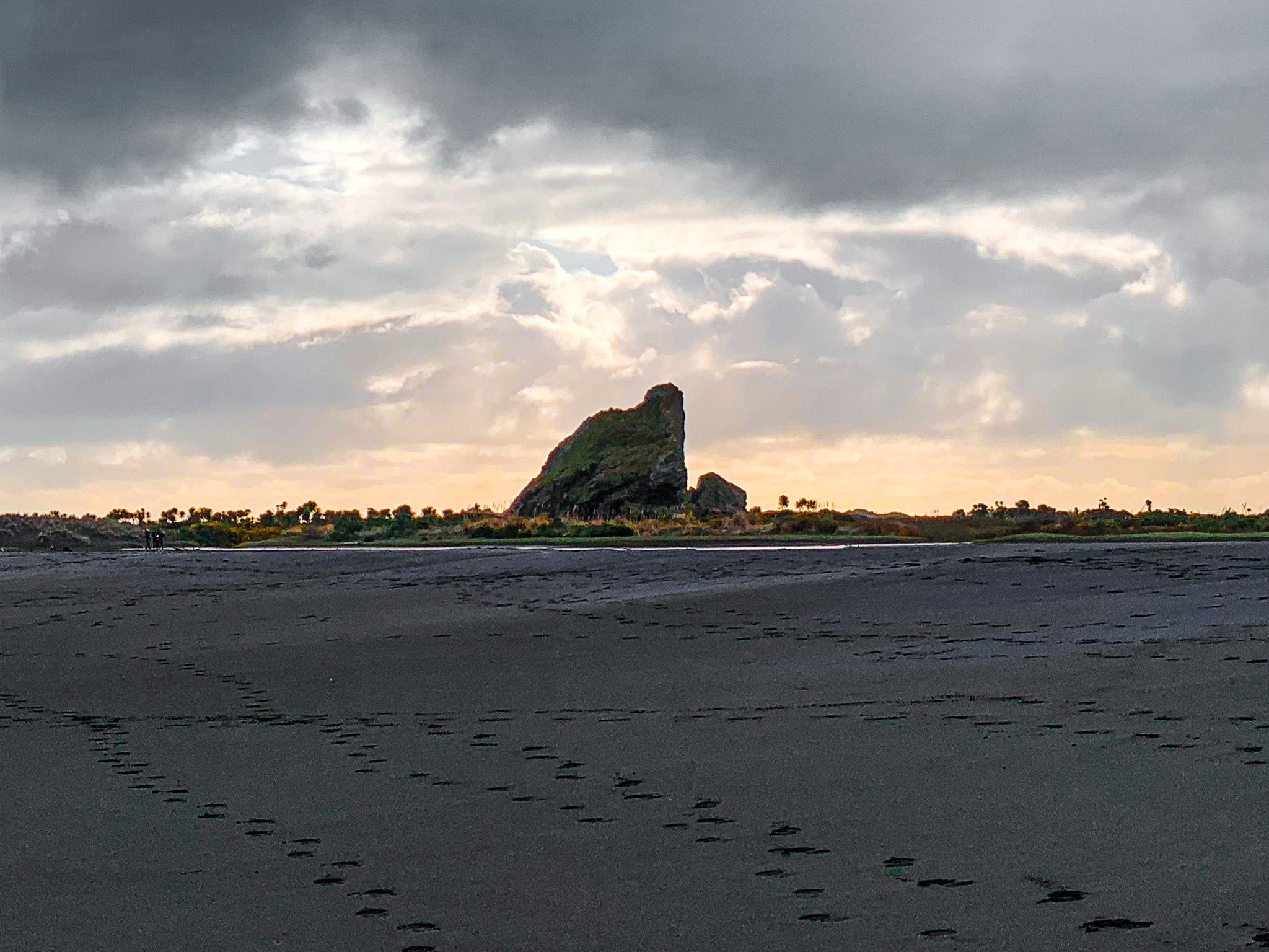
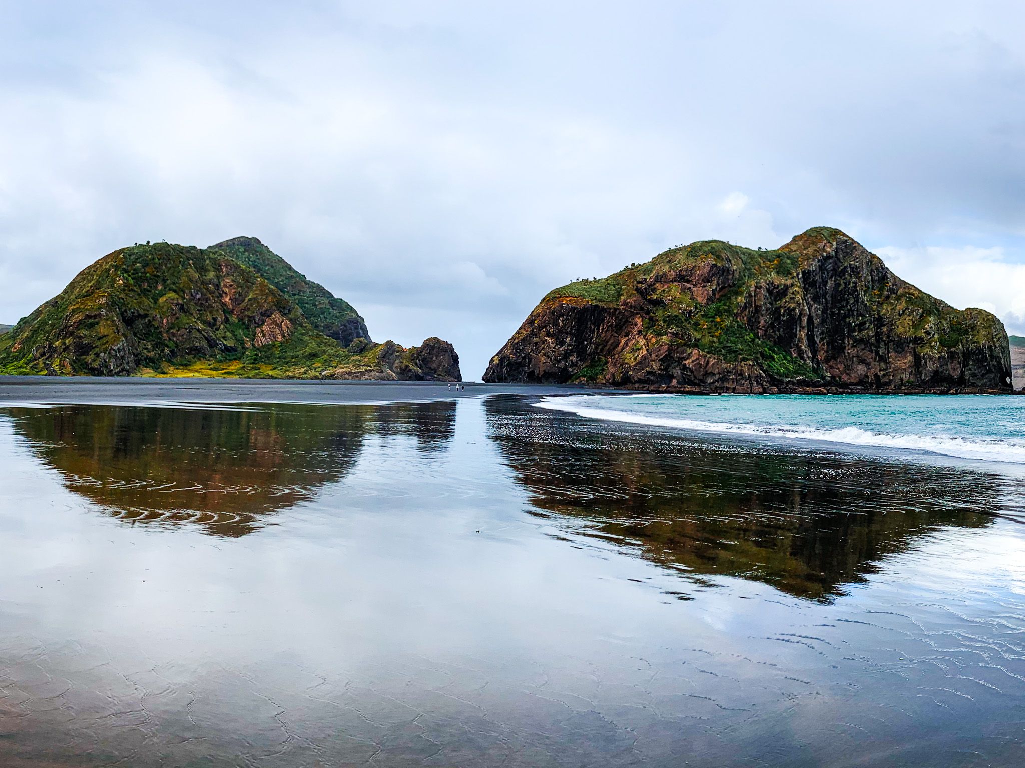
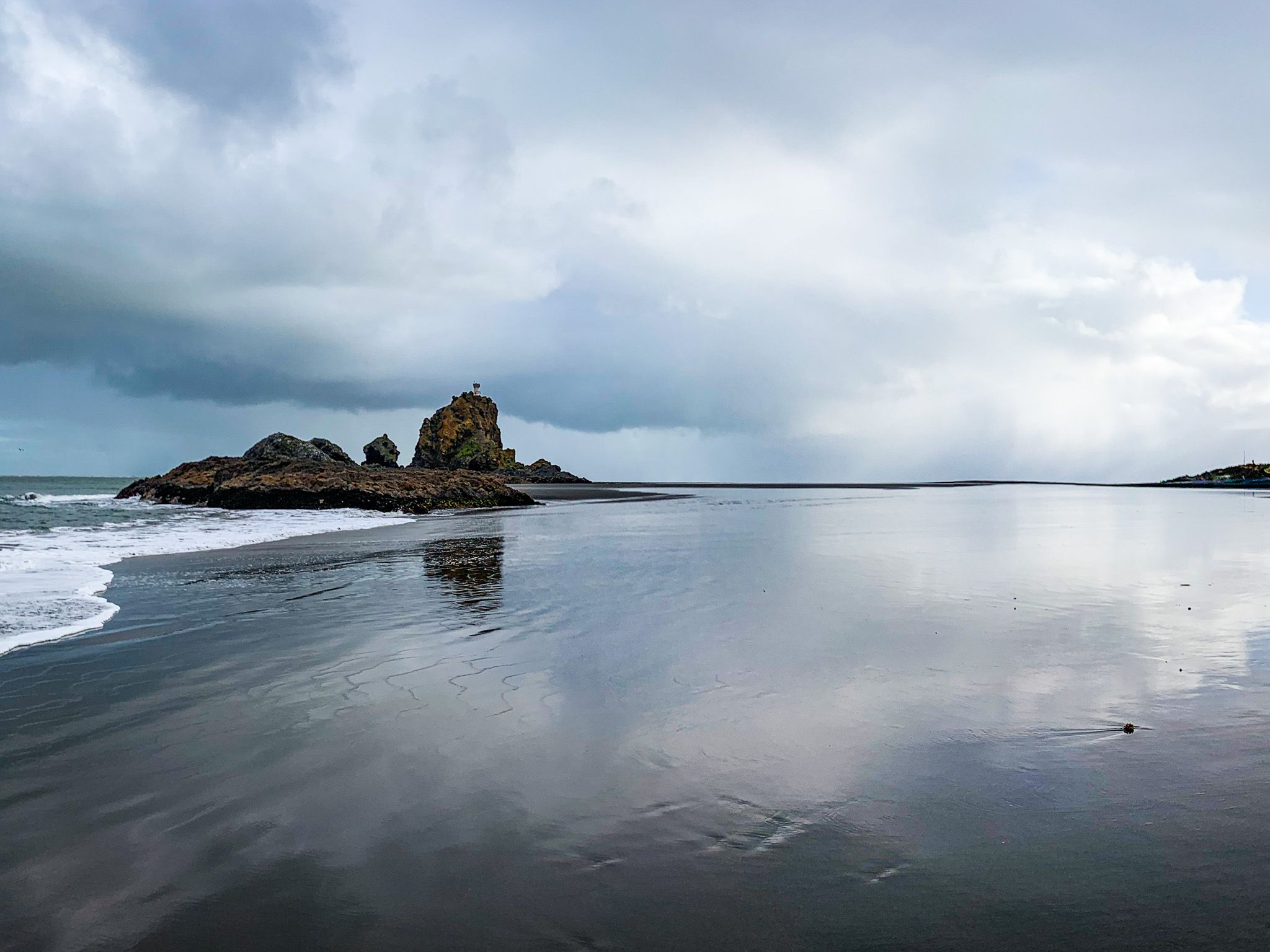
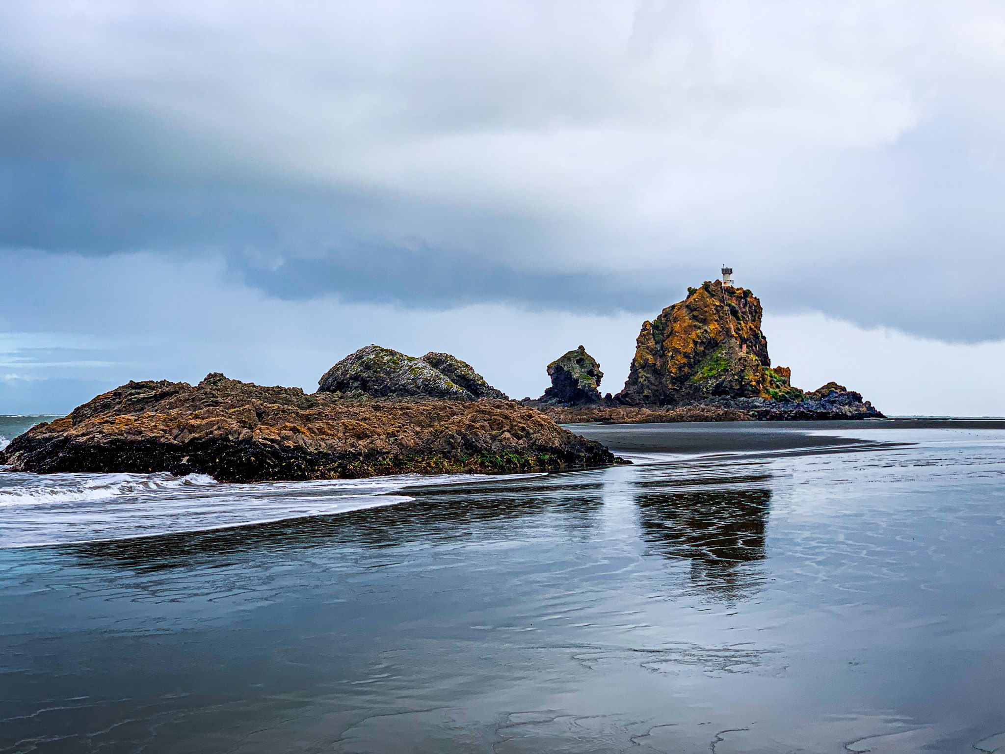
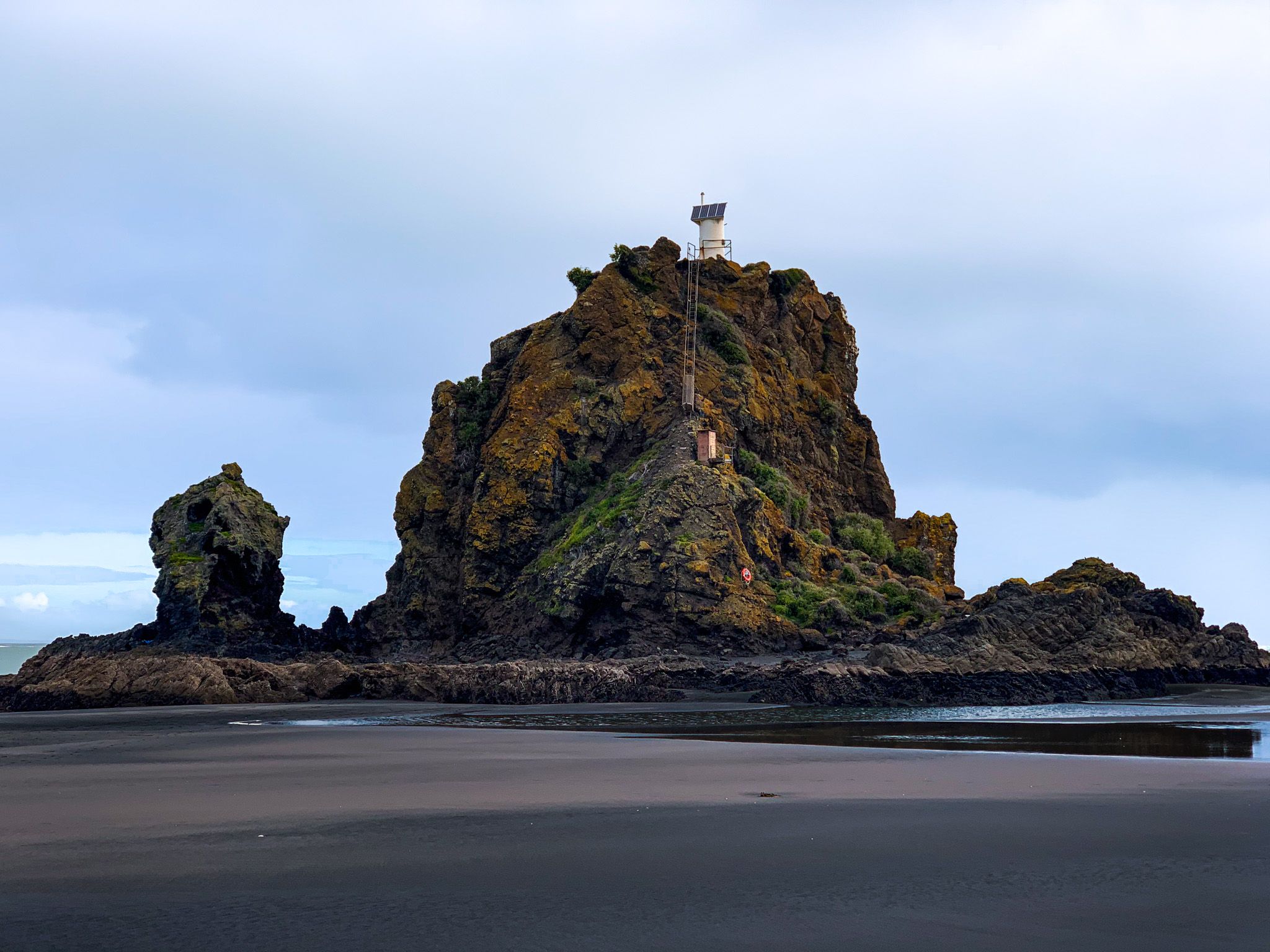
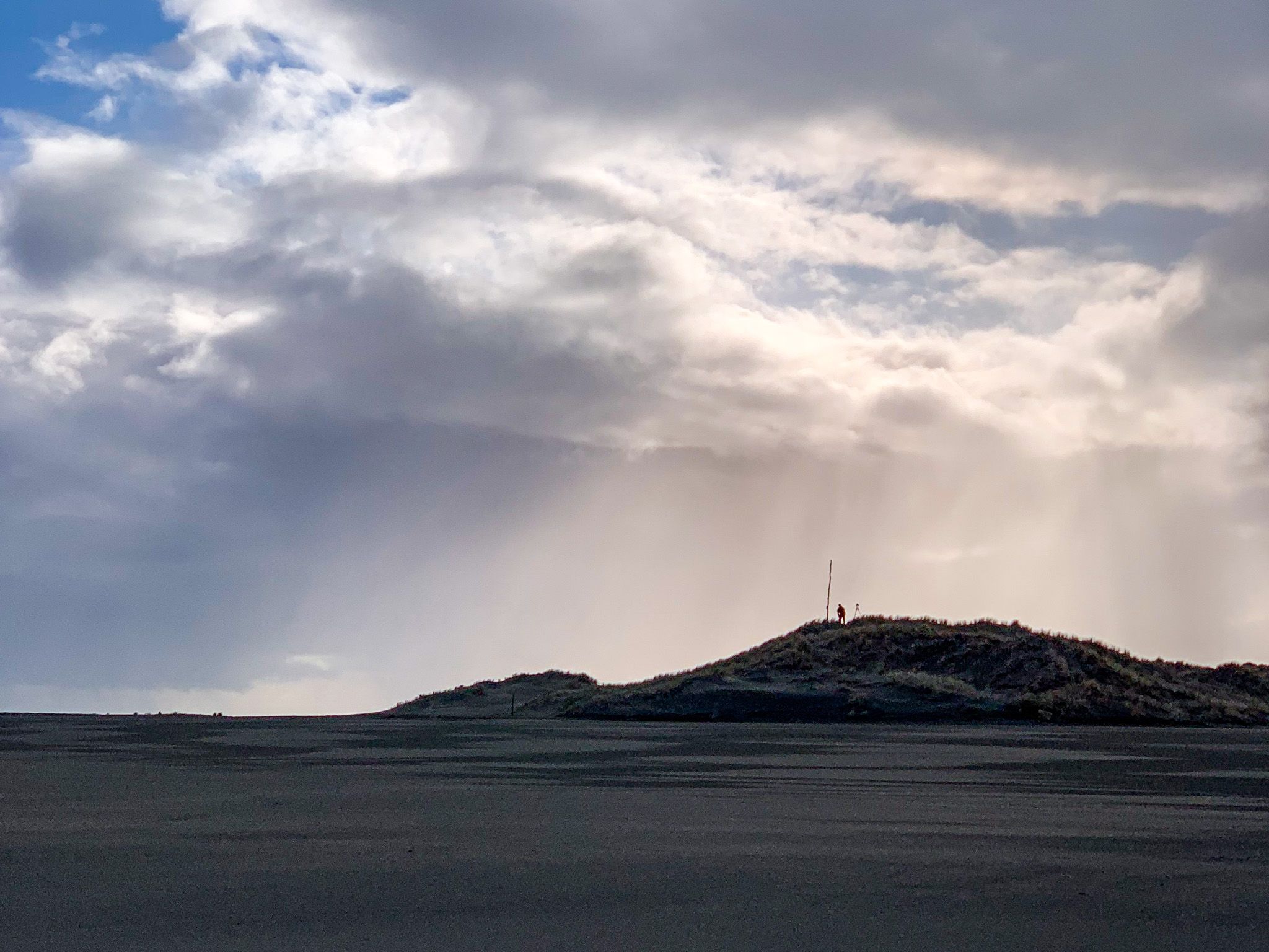
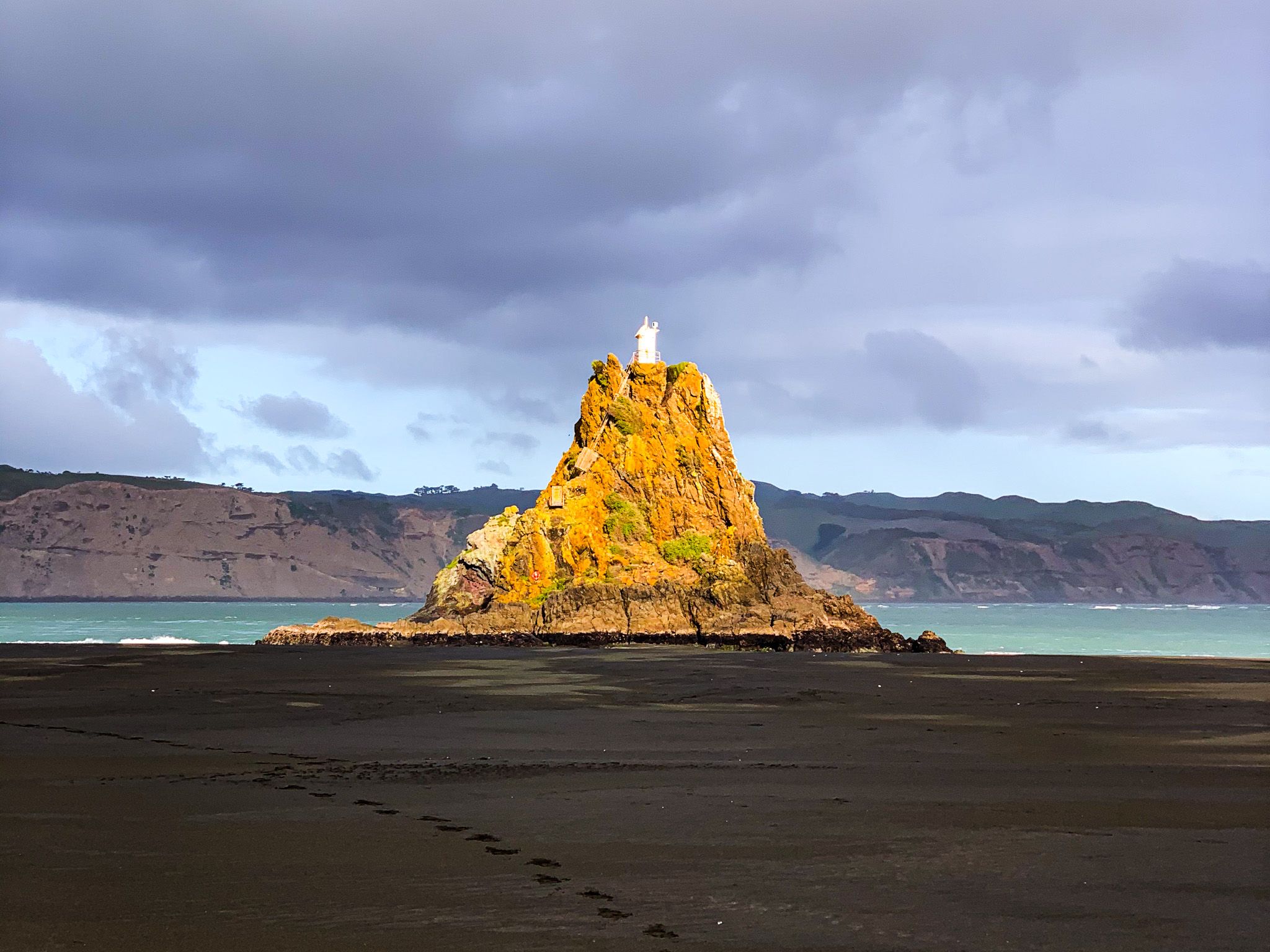
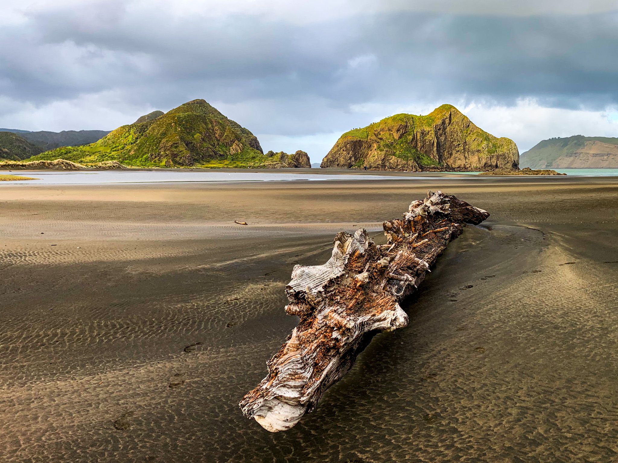
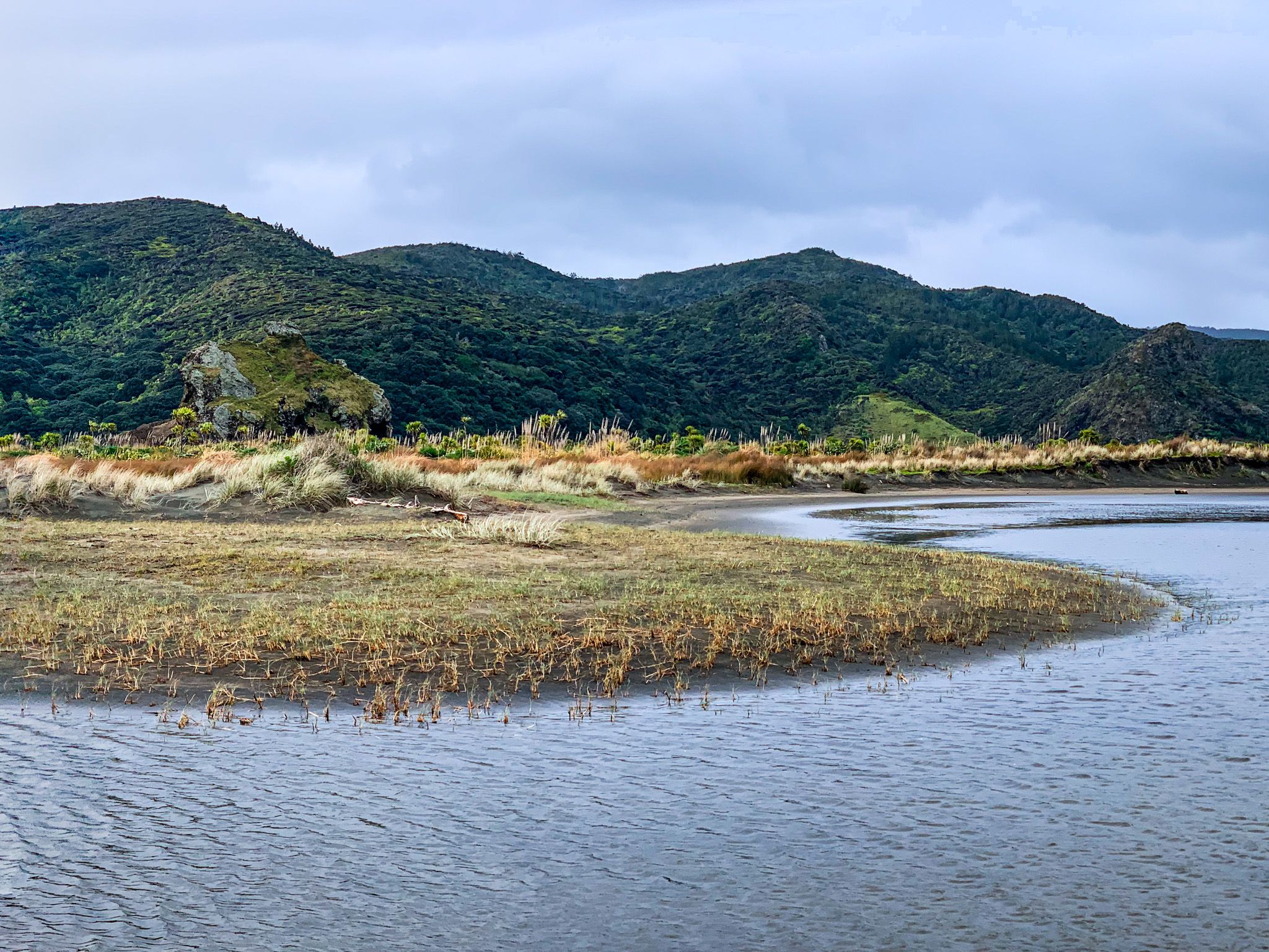
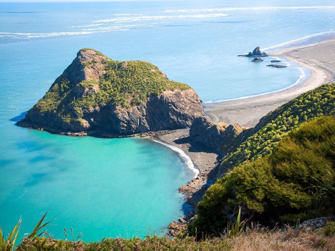
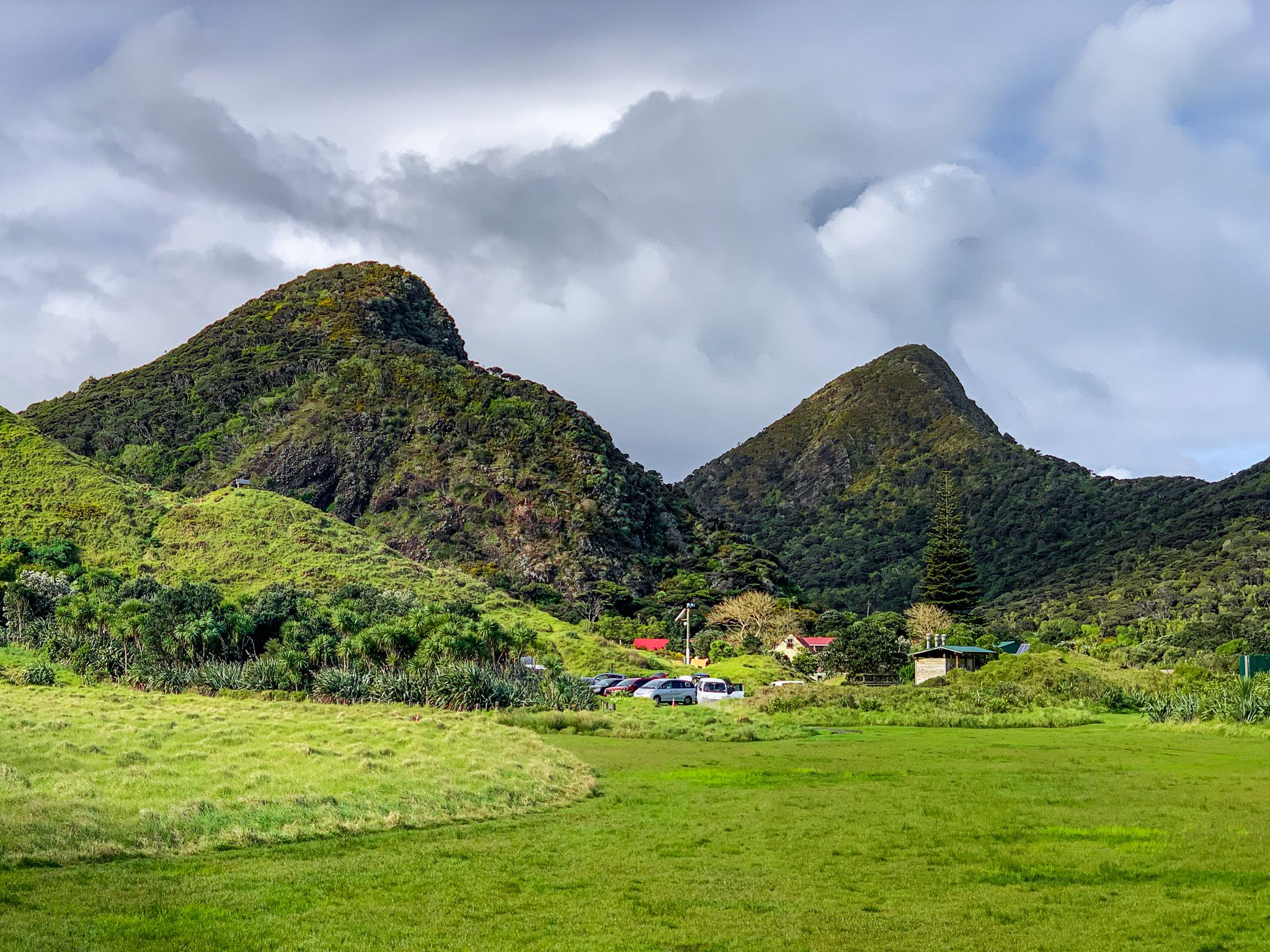
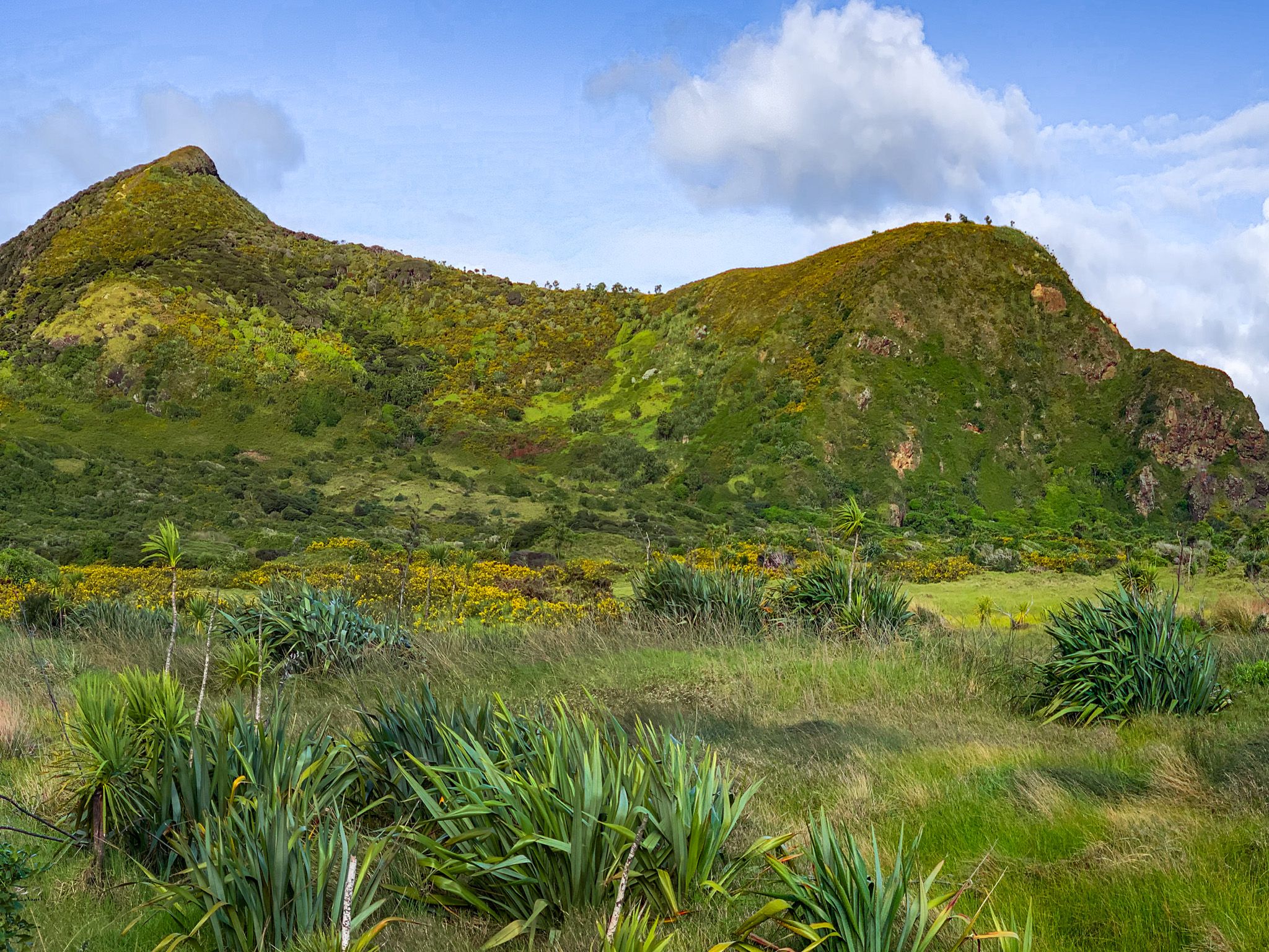
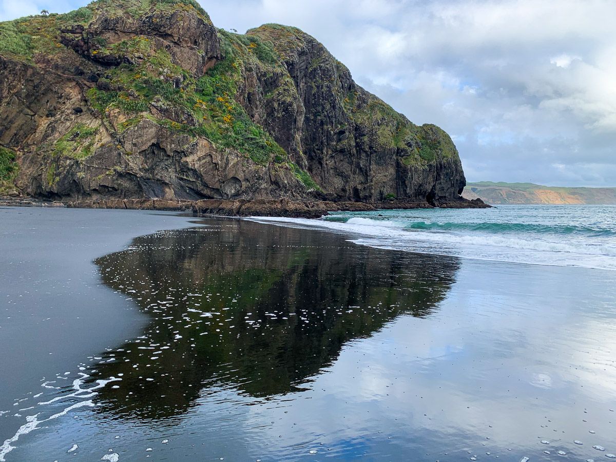
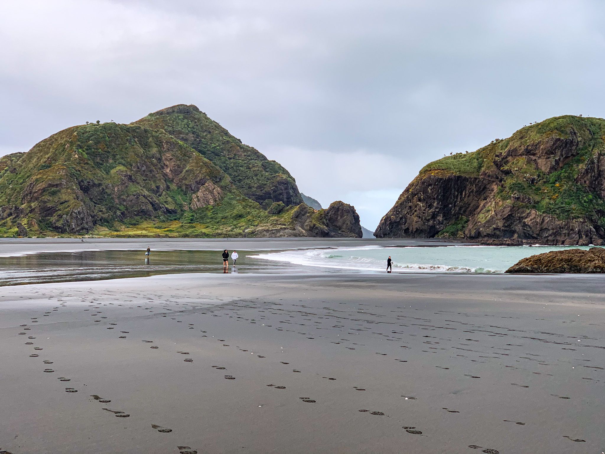
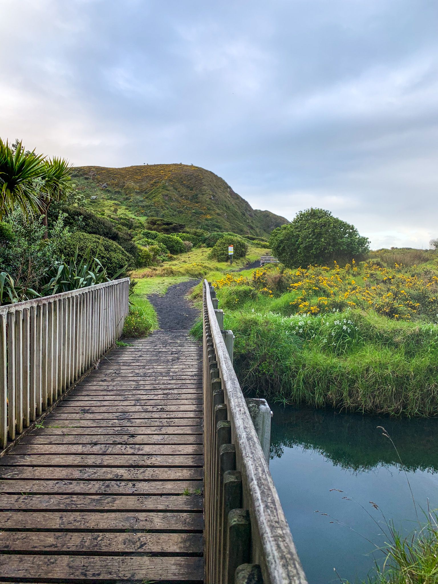
Whatipū is the most remote and southernmost beach in the Waitākere Ranges, located on the northern side of the Manukau Heads in Auckland. The beach at Whatipū has a unique landscape, surrounded by ancient volcanic pinnacles with its crescent-shaped beach marked by Paratūtae Island at its northeastern end, and Toka-Tapu-o-Kupe / Ninepins at the southwestern end. The extensive dunes, lagoons and marshlands behind the beach stretch all the way to Karekare. The hikes into the high hills north and south of Whatipū are amongst the best coastal walks in New Zealand.
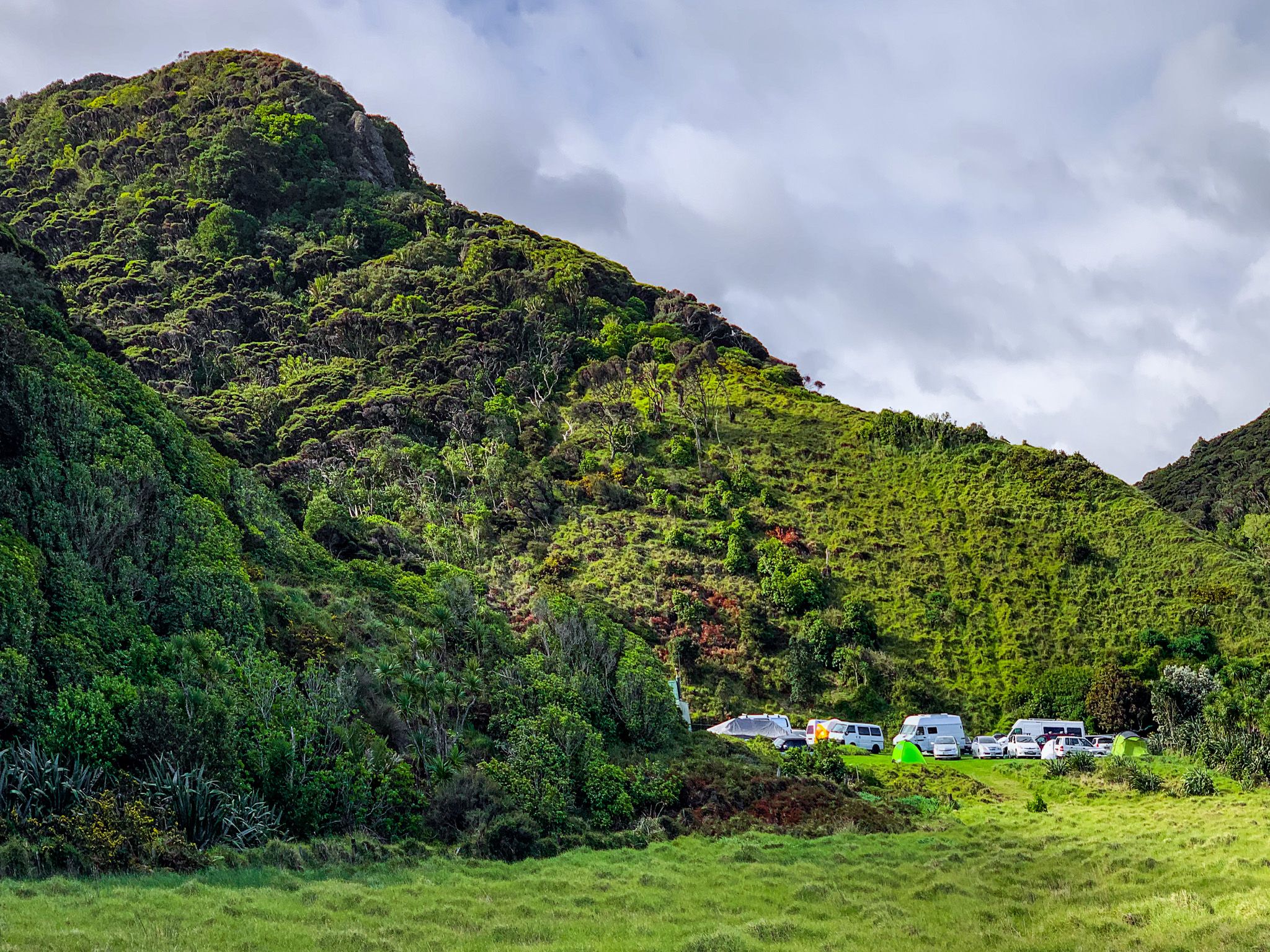
Whatipū is a wonderful day trip, and you can stay at the Whatipu Lodge and Campground to extend your trip.
Natural Attractions and Hikes
The beach is the obvious attraction, reached by a 10-minute walk through the dunes and across a shallow stream. Take care as it is not patrolled or safe for swimming. There is also a second beach with the odd name of Wonga Wonga Bay on the north side of Paratūtae Island.
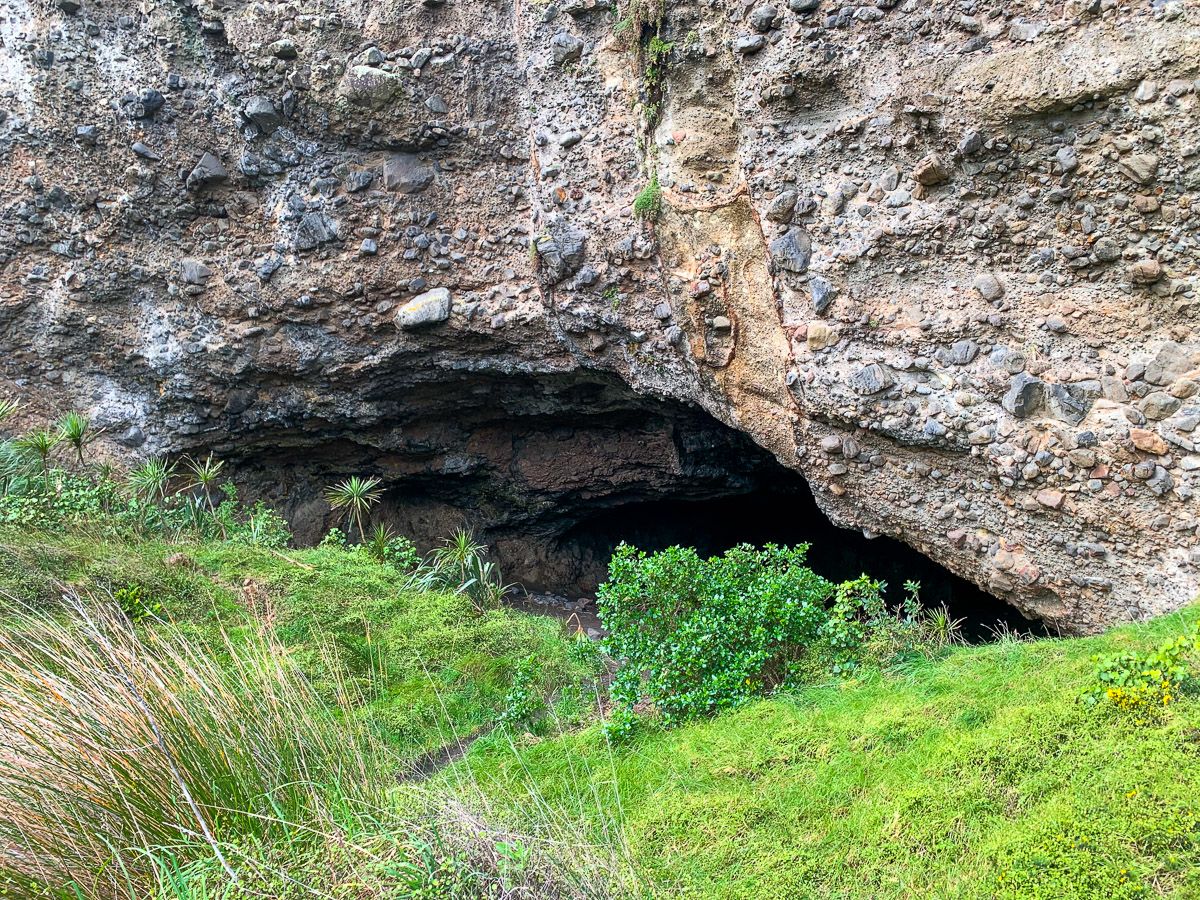
There is the large Whatipū Cave to explore in the cliffs to the north. A hundred years ago, it was on the tide line, but is now situated about 2 km from the coast due to dune and beach expansion. A short trail between the dunes and cliffs to the north leads to the cave, which was once used as a social hangout, including dances! There are other small caves nearby, as well as a campsite further on through the dunes.
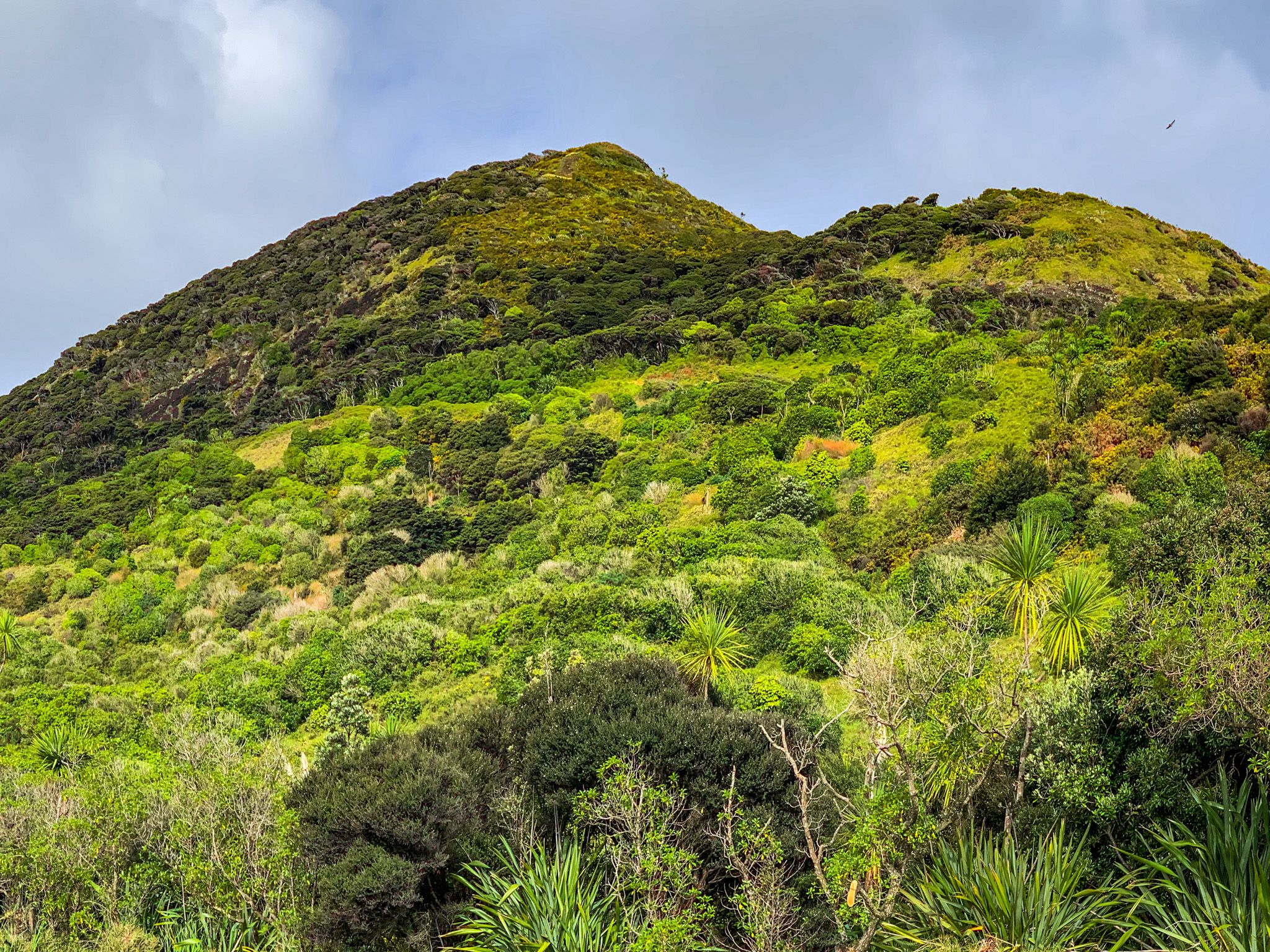
Additionally, hikes to viewpoints above the beach are accessible from the south side of the car park and the north side of the campground. The southside viewpoint is part of the Omamawanui Track, an incredibly scenic hike high above the Manukau Harbour coastline. The northside viewpoint is located on the Gibbons Track, which is part of a route extending all the way to Piha, North Piha, and Anawhata.
Cutter Rock, once a popular spot for abseiling, is another notable feature of the landscape, although a significant portion of it has collapsed.
Māori Origins and Whatipū
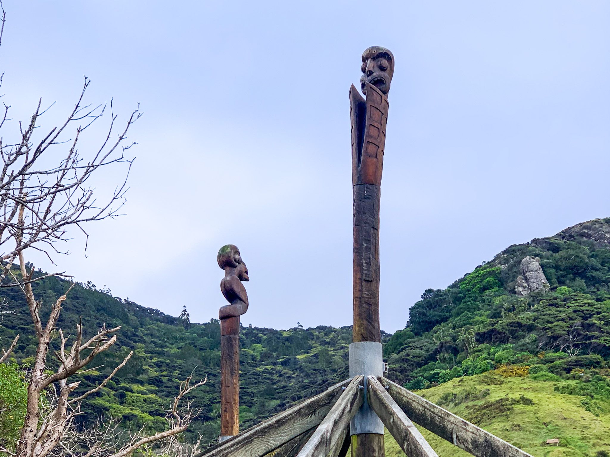
Whatipū is very significant to Māori, with links back to Kupe, the legendary Polynesian explorer credited with discovering Aotearoa. Kupe is said to have visited Paratūtai Island and performed a karakia at Toka Tapu o Kupe, the "sacred rock of Kupe" (Ninepin Rock), to protect his people. The resulting stormy seas were known as Ngā Tai Whakatū a Kupe – the "upraised seas of Kupe".
The name "Whatipū" itself is for a taniwha (spiritual guardian) who, along with other taniwha like Taramainuku and Paikea, gathered in the bay, then called Waitīpua, meaning the "bay of the spiritual guardians".
Early Māori Settlement
In the 1300s, the Tainui waka arrived in the region. The explorer Hoturoa and spiritual leader Rakataura named landmarks such as Tītīrangi and Hikurangi. Te Manukanuka ä Hoturoa, which means "the anxiety of Hoturoa", was the name given to the Manukau Harbour entrance due to the risk of entering it.
Some on the waka intermarried with local people, forming the iwi Ngāoho. In the mid-1600s, migrations from Kāwhia, led by the rangatira Maki, led to the long-term dominance of the region by Te Kawerau ā Maki, the iwi that today are the guardians of the Waitākere Ranges.
Conflict, Colonisation and Kauri
In the 1820s, Ngāpui from the north invaded the area during the Musket Wars, forcing Te Kawerau ā Maki to seek refuge in the Waikato. The iwi returned in the mid-1830s. European colonisation followed soon after, with much of the region purchased by the NZ government in the Hikurangi Purchase. This led to widespread kauri milling along the coast from the 1850s. The Gibbons family established a homestead and a large kauri sawmill in Whatipū in 1868, with logs transported via a coastal tramway to a wharf at Paratūtai Island. This trade in kauri continued from Piha and Karekare to Whatipu until the 1920s, and you can still see signs of the wharf on the north side of the island. Tunnel Point, with a campsite to the north, is the only substantial remnant of the coastal tramway.
At its peak, Whatipū was home to over 100 residents, including mill workers, families, a school, and a post office.
The Orpheus Shipwreck and Māori Heroism
In 1863, the HMS Orpheus was wrecked on the Manukau Bar near Whatipū, resulting in New Zealand’s worst maritime disaster. Māori from the Whatipū Pilot Station played a heroic role in rescuing survivors from the surf and were later awarded Royal Humane Society medals for their bravery.
You can read more about the history of Whatipū here.
Whatipū Today
By the 1920s, Whatipū had shifted from an industrial centre to a peaceful retreat. The Gibbons family had provided accommodation to visitors, but with the timber trade at an end, Whatipū transitioned into a remote coastal getaway for holidays and fishing. Today, the Whatipu Lodge is centred around the original Gibbons family homestead.
How to Get to Whatipū
Reaching Whatipū requires a vehicle or a ride, as public transport does not service the area. The drive from Downtown Auckland takes about an hour, following Huia Road through Cornwallis and Huia. The final stretch on Whatipu Road is narrow, winding, and has a metal surface. Extra care is required.
Along the way, take time out to visit Te-Rau-o-te-Huia / Mt Donald McLean, a short walk to a high point in the Waitākere Ranges. The Puriri Ridge Track and Omanawanui Track are also accessible from Whatipū Road.