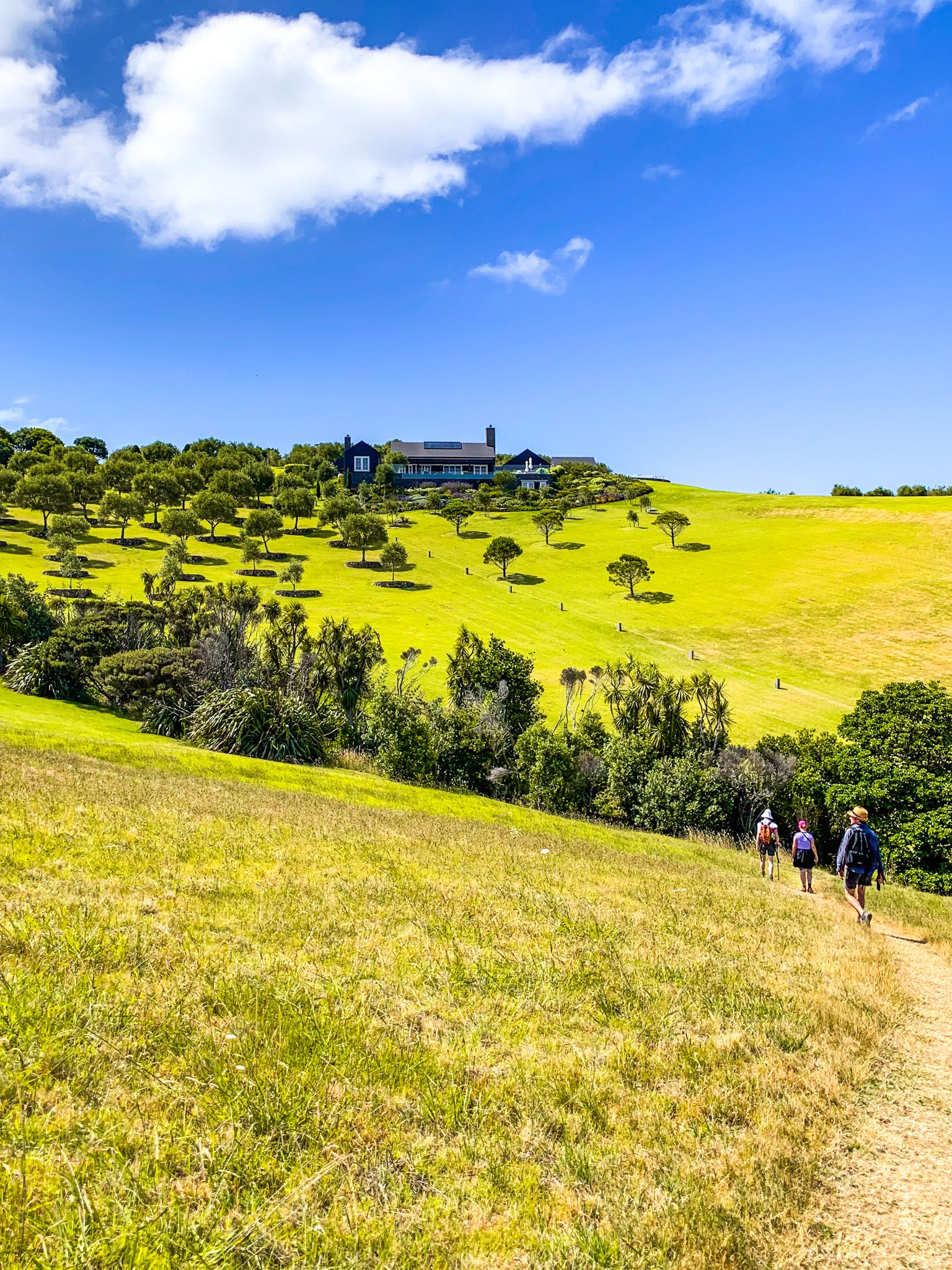
Te Ara Hura means “Discover the Way” and connects a series of walking tracks and roads, creating an 87-km trail loop around much of Waiheke Island. The entire circuit takes 4 to 6 days to walk, but there are many points of access. You can pick and choose walks from one to several hours.
Creating the trails was a local effort, and they are now among the best in the Auckland region. Plus, you can visit the odd winery, restaurant, or cafe and stay in comfortable surroundings every night!
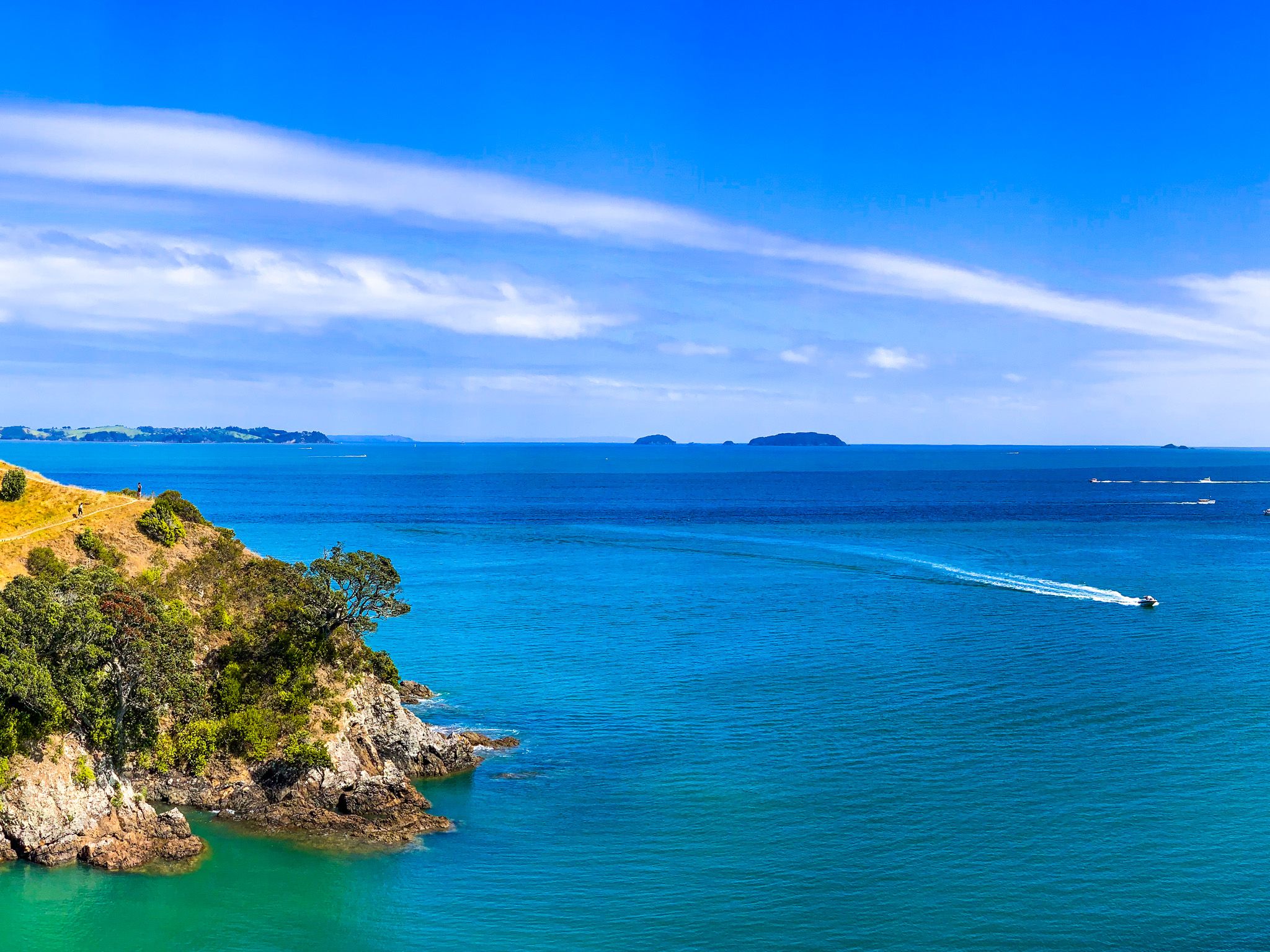
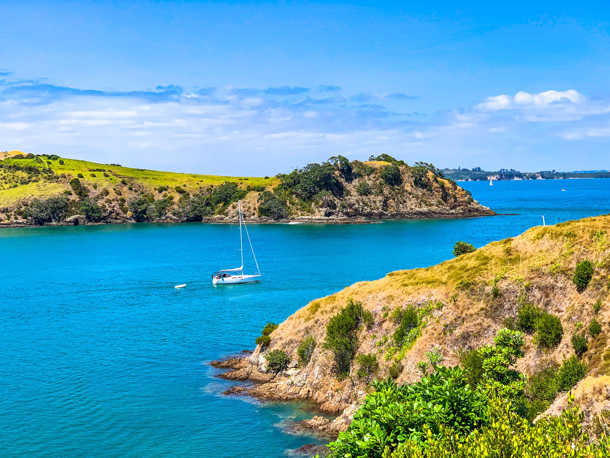
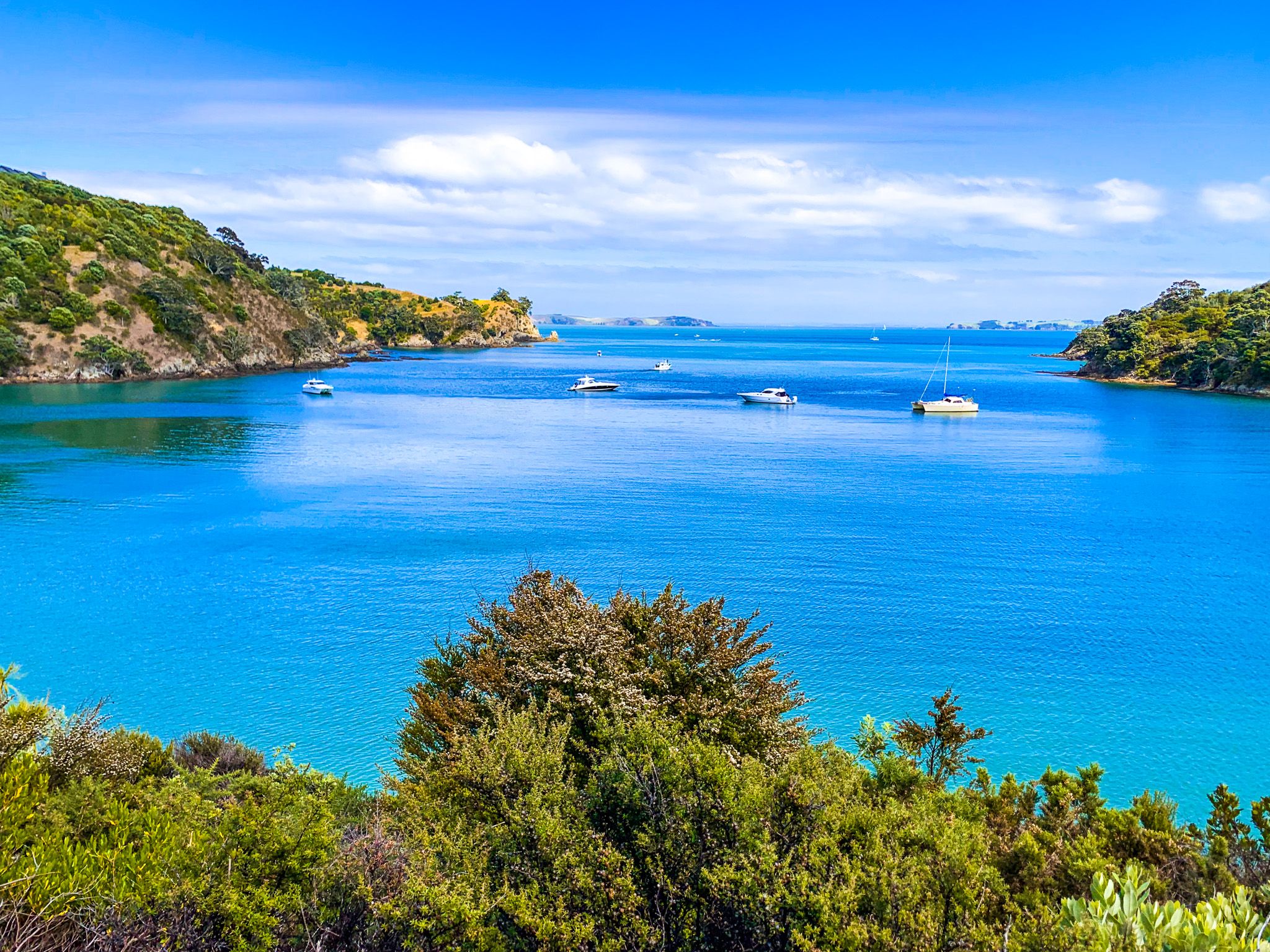
The first section of the trail starts in Matiatia Bay by the Ferry Terminal at the east end of Waiheke. From there, you can go northwest around the bay or southwest, with both tracks ultimately bringing you to Oneroa. For the northwest option, you must be at least one hour on either side of high tide.
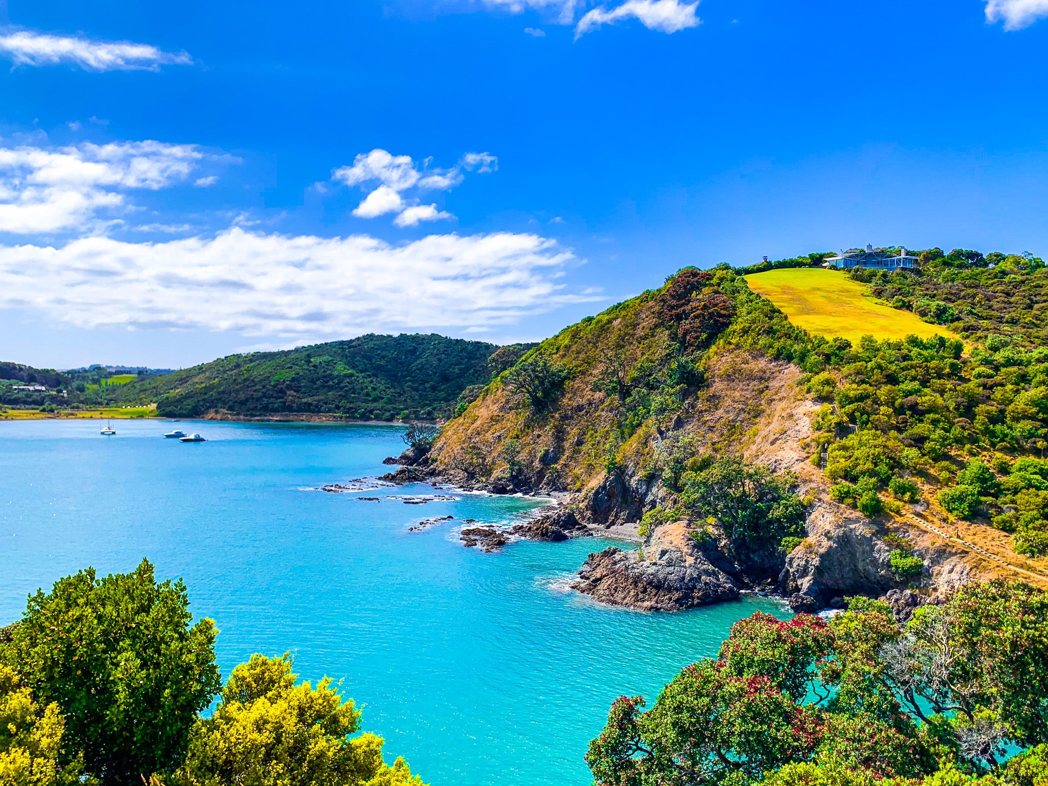
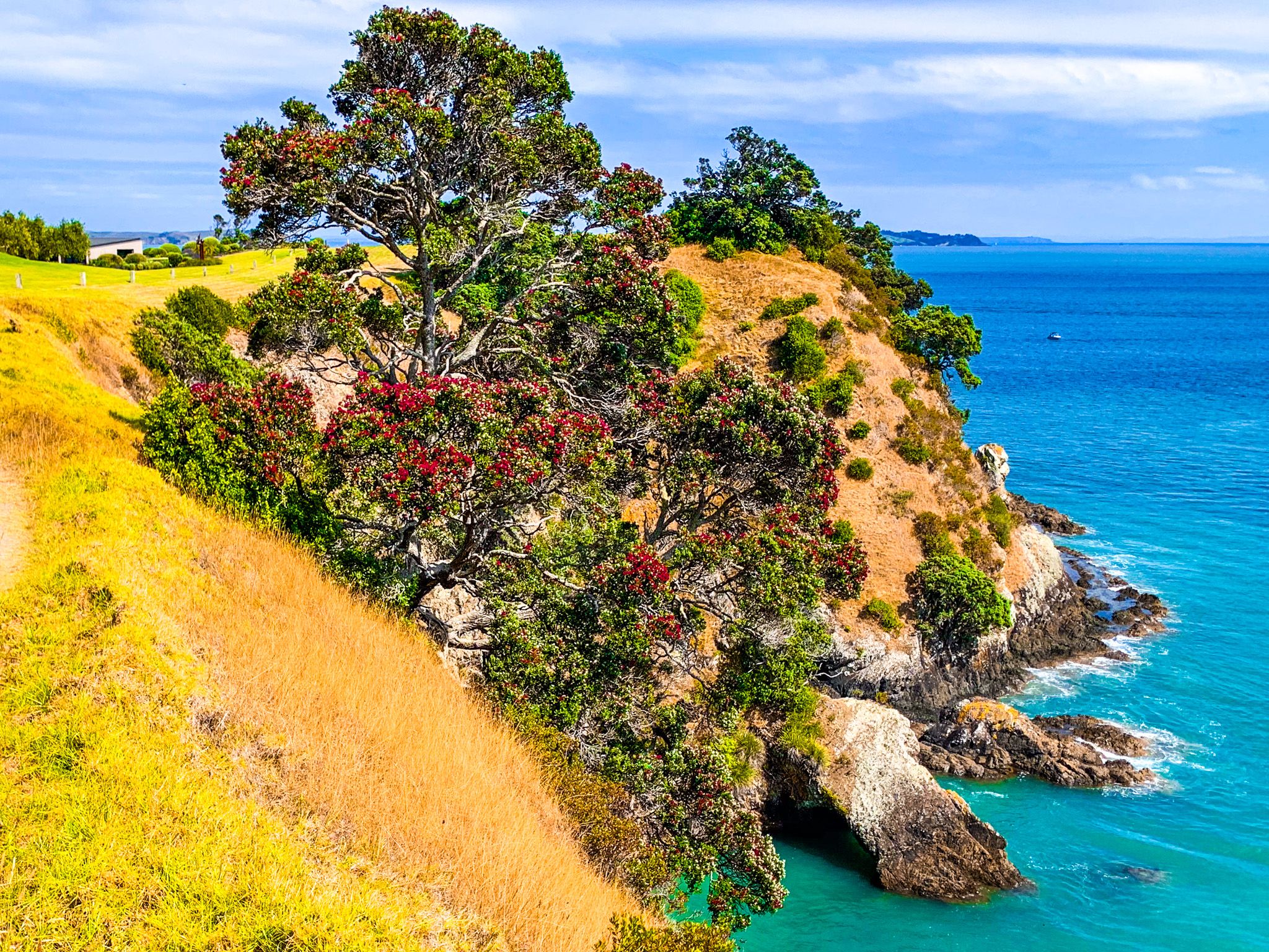
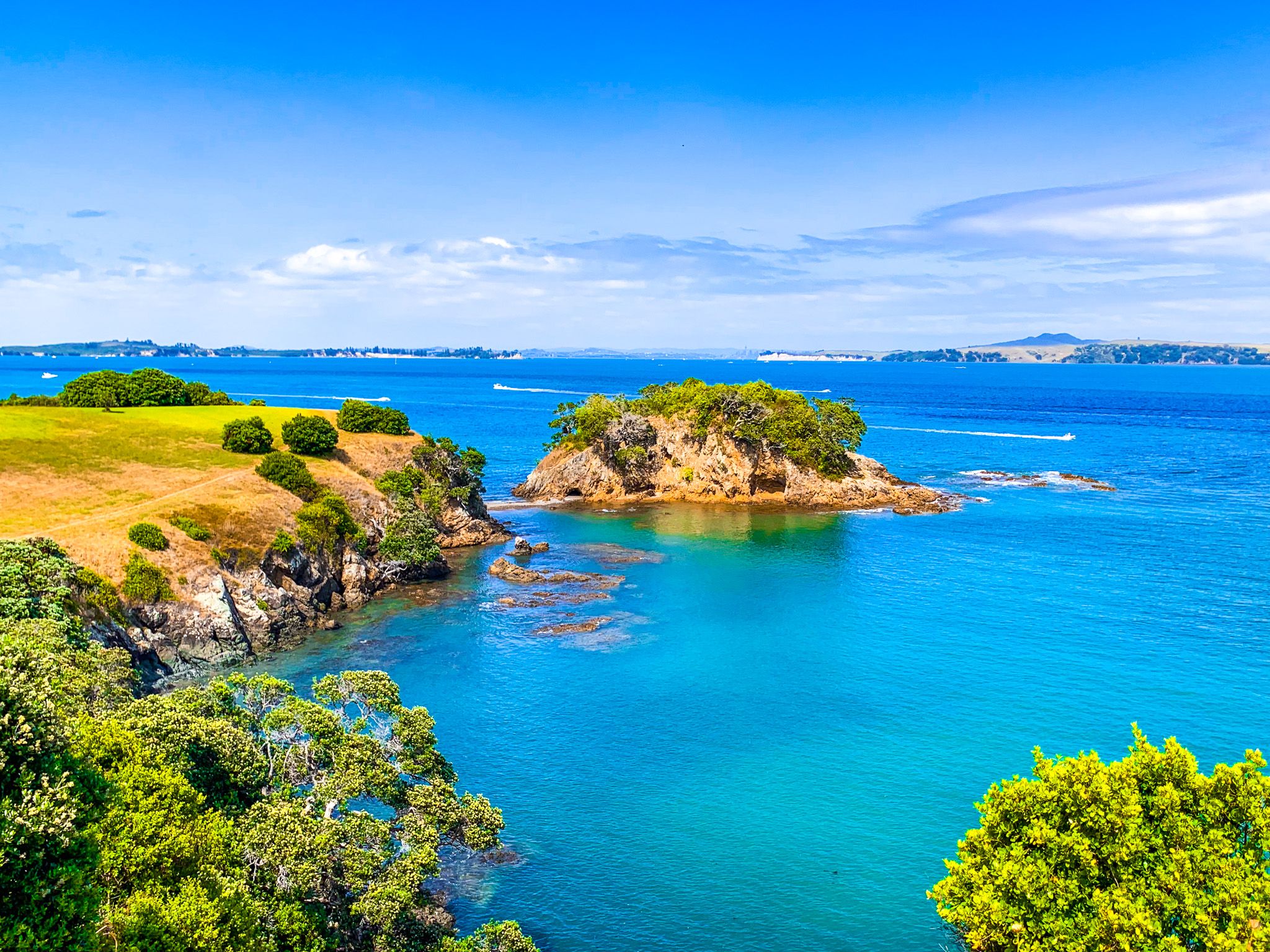
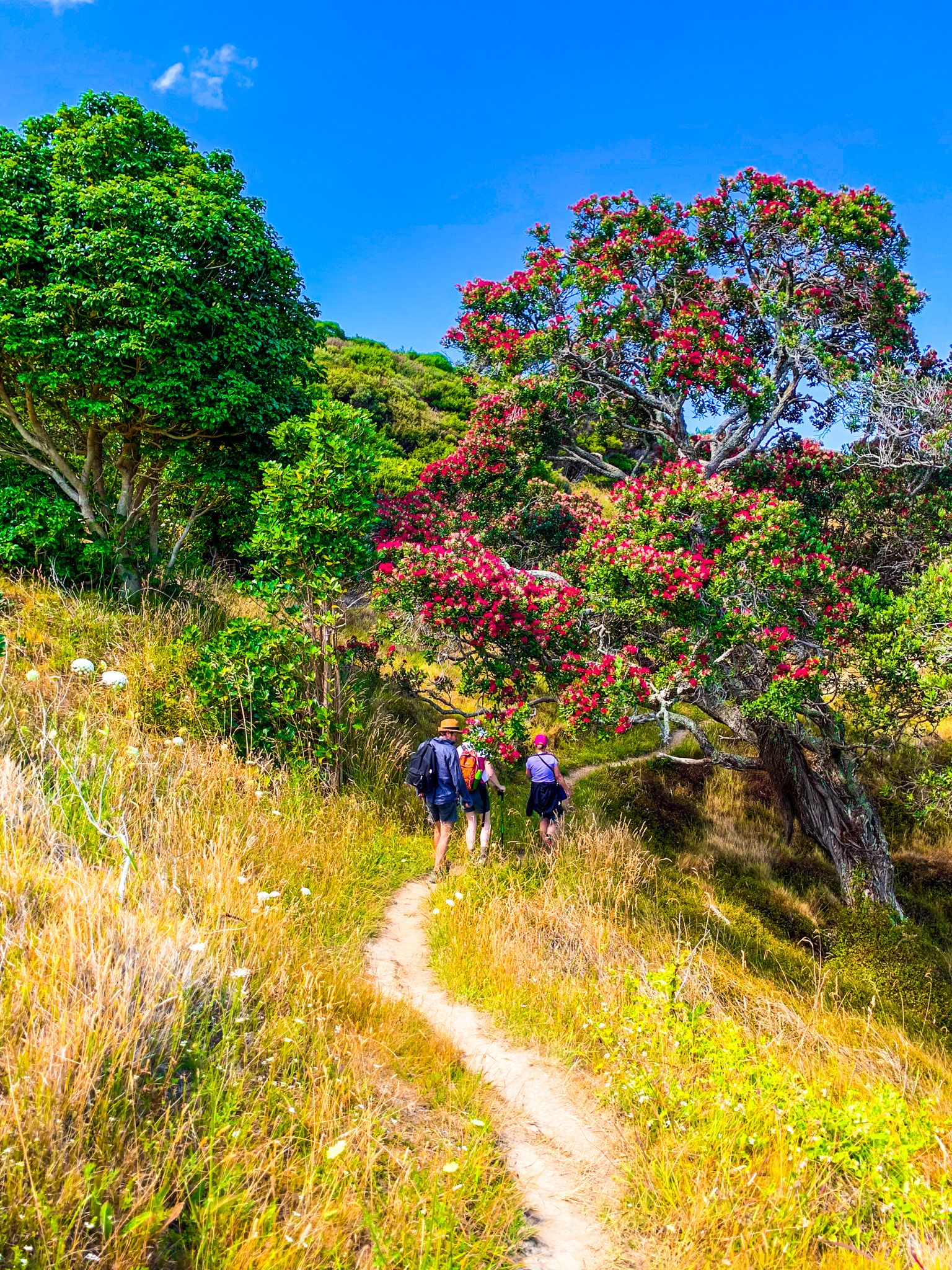
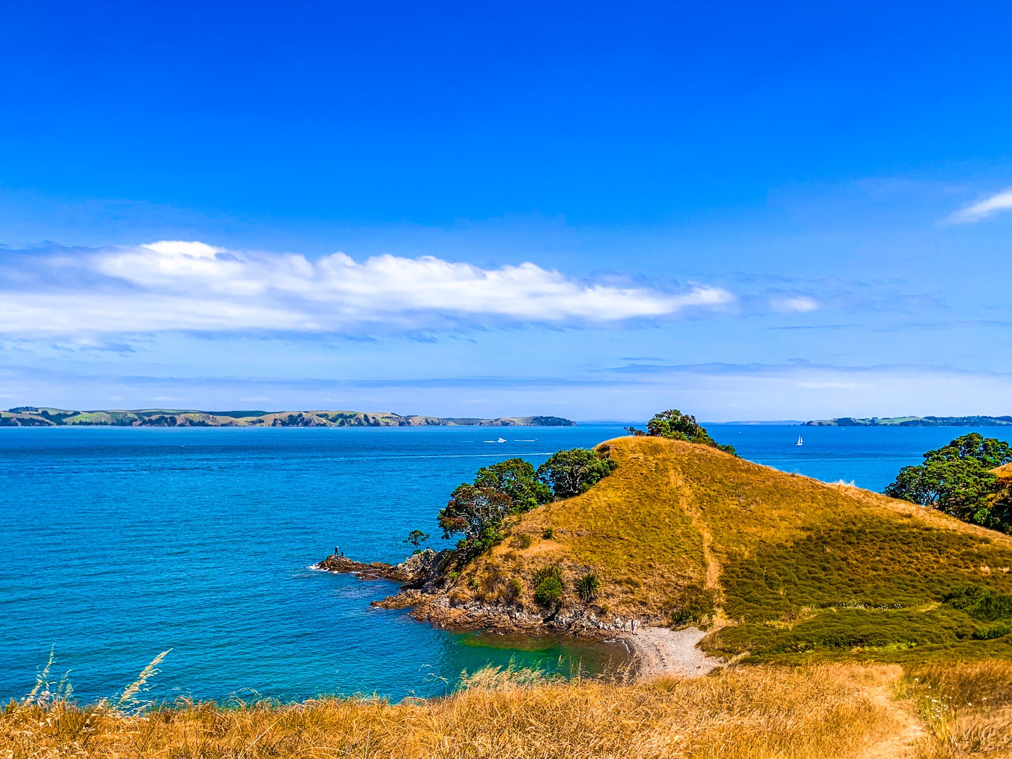
The narrow track, a mix of grass and dirt, follows the coast to the head of the bay, then turns north. There are spectacular views of the Hauraki Gulf, towards Motutapu and Rangitoto to the west, Rakino to the northwest and the Noises (a group of small rocky islands) to the north. You will also pass the historic Mokemoke Pā site and several modern architecturally significant houses.
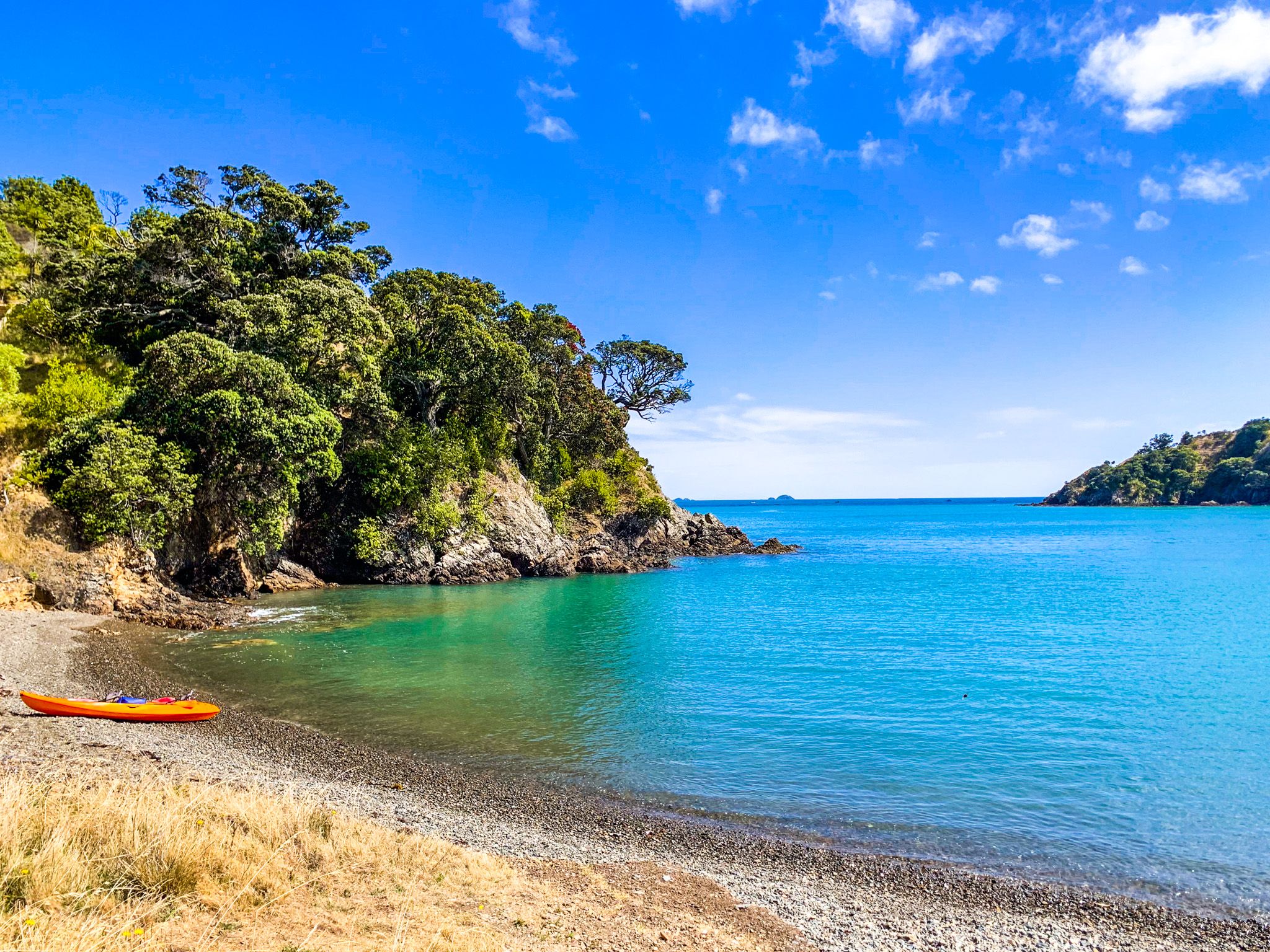
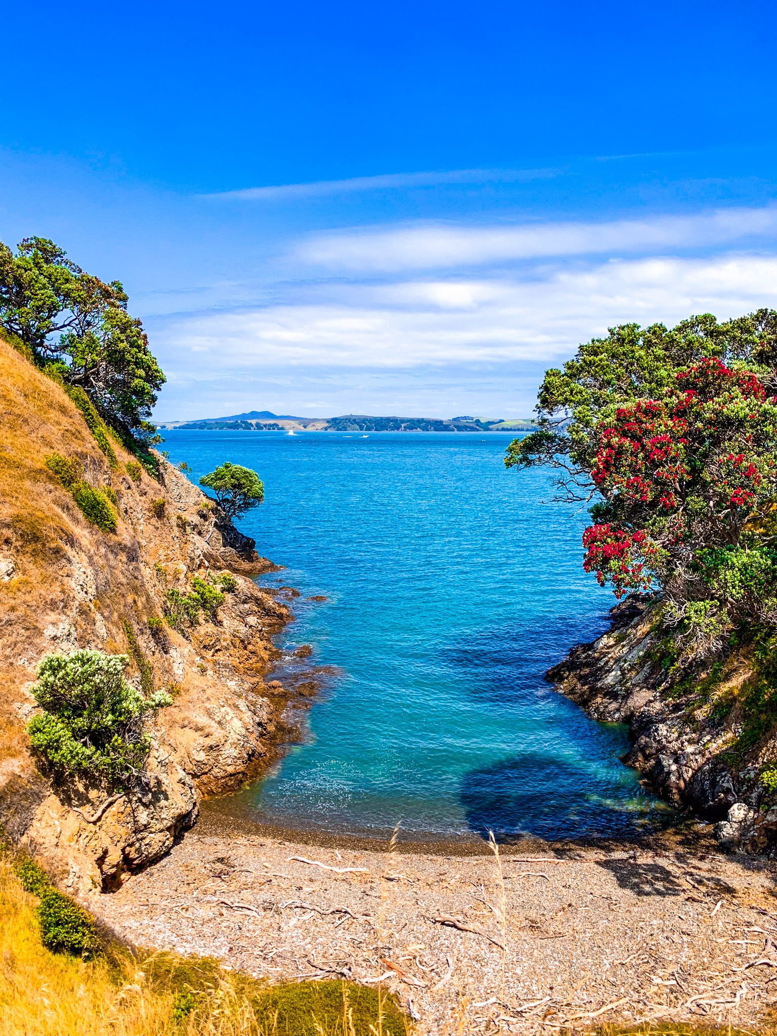
Some places have steep drops, so take care of small children. As you round the most northwesterly point on the trail, you have views over incredibly beautiful Owhanake Bay, with an attractive sandy beach. You can walk further to some small bay on the north coast, but otherwise, follow Korora Road east to Big Oneroa Beach. Try to do the walk in good weather and allow about 90 minutes to two hours.