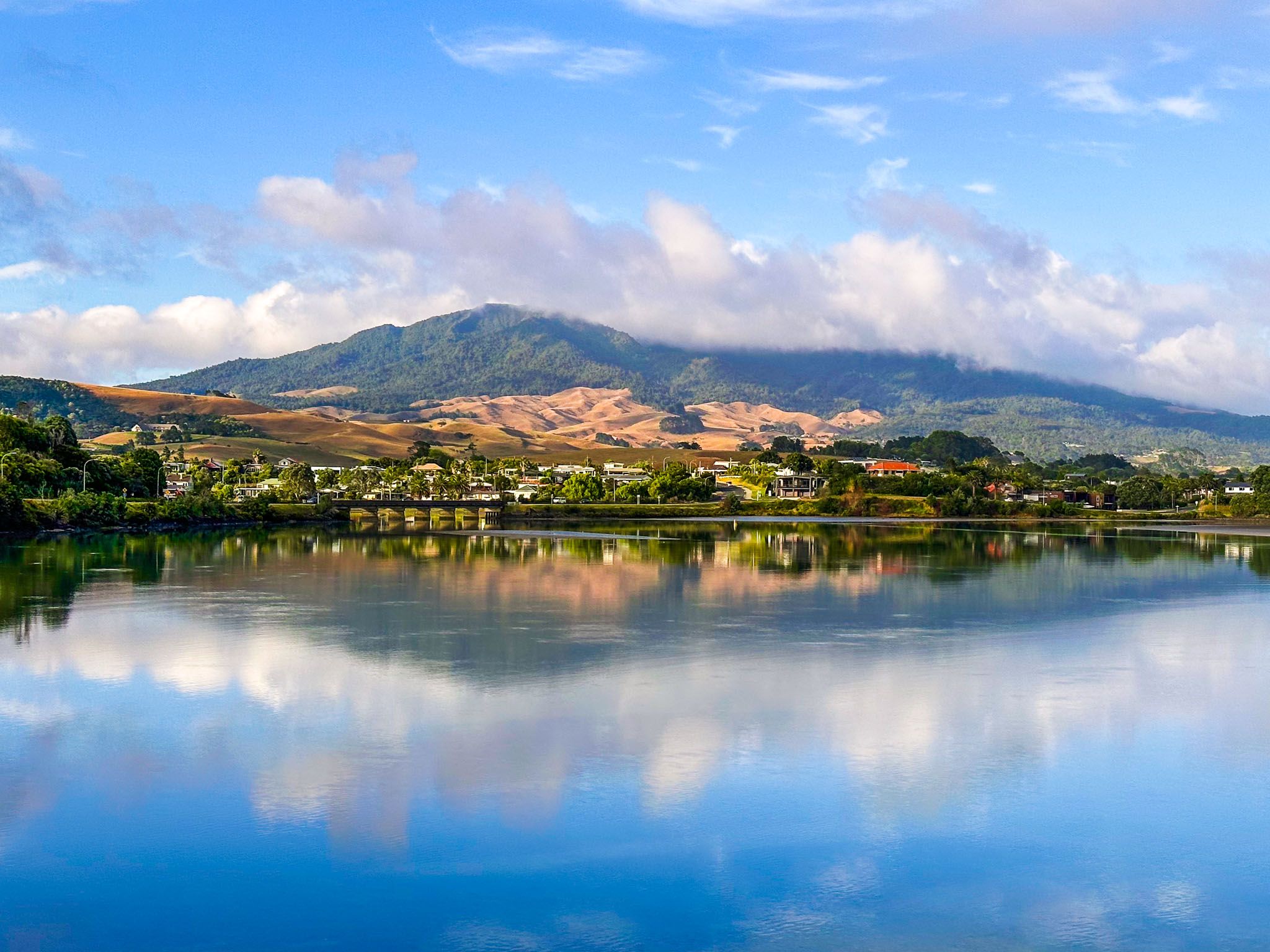
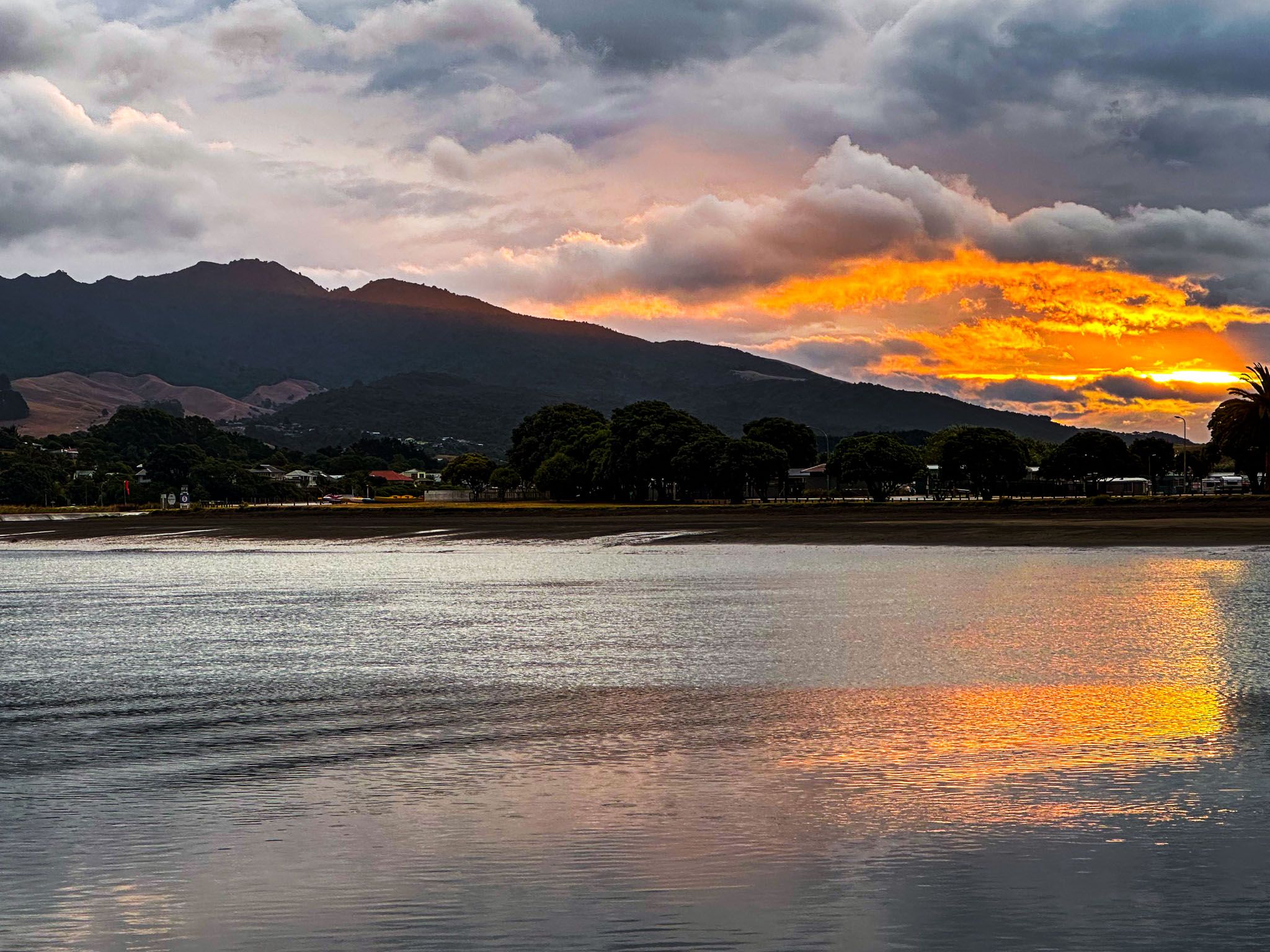
Raglan is a vibrant coastal town 48 km west of Hamilton on the Tasman Sea coast of the Waikato. The town sits on the south side of the Whaingaroa Harbour, near the harbour's mouth. However, it is best known for its striking black sand ocean beaches and world-class surf breaks southwest of the town.
The surfer vibe has evolved over the years, with the town becoming a haven for artists and outdoor enthusiasts. Manu Bay, featured in the cult surfing film Endless Summer, has one of the world’s longest and most consistent left-hand surf breaks, enabling skilled surfers to ride a wave for up to two km. If you want to get surf photos, just stand on the point as the surfers cruise by!
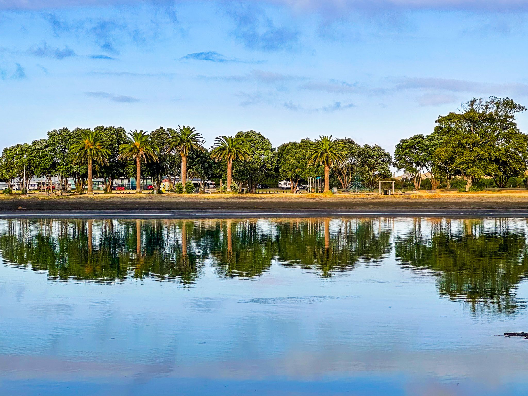
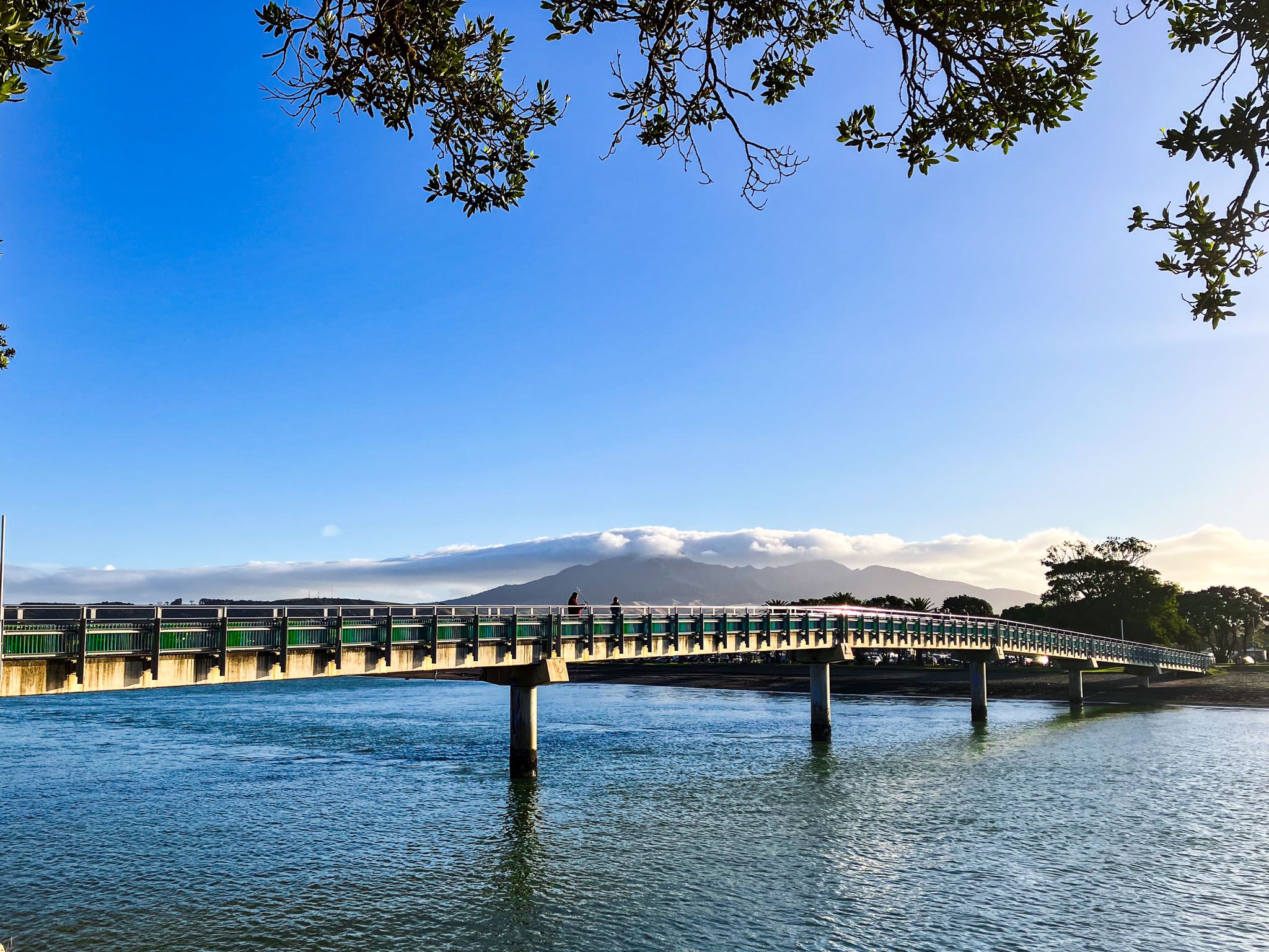
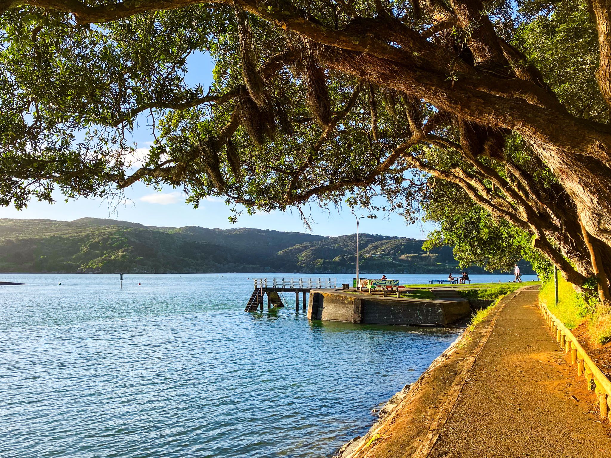
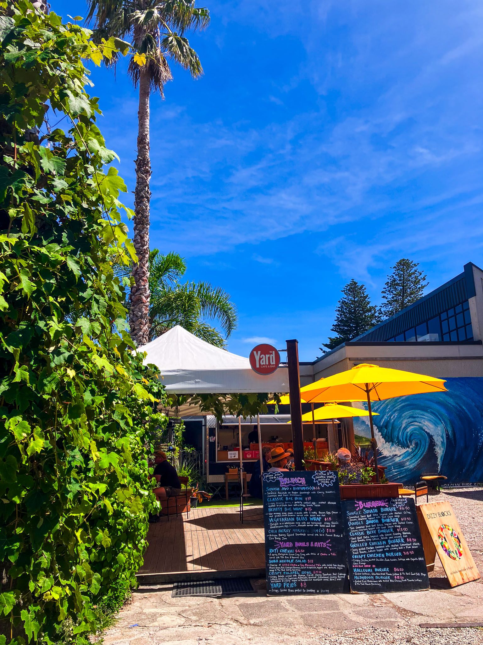
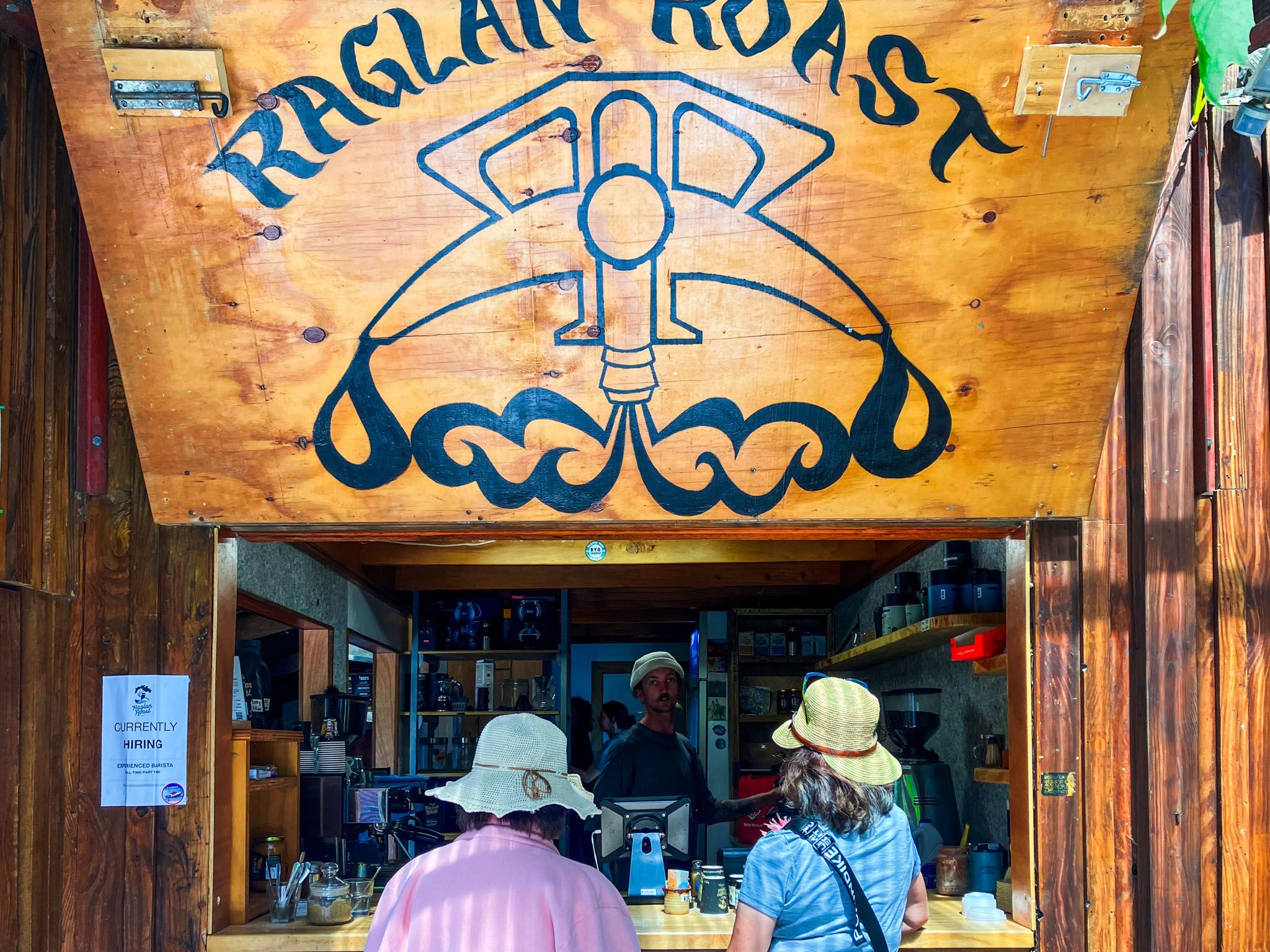
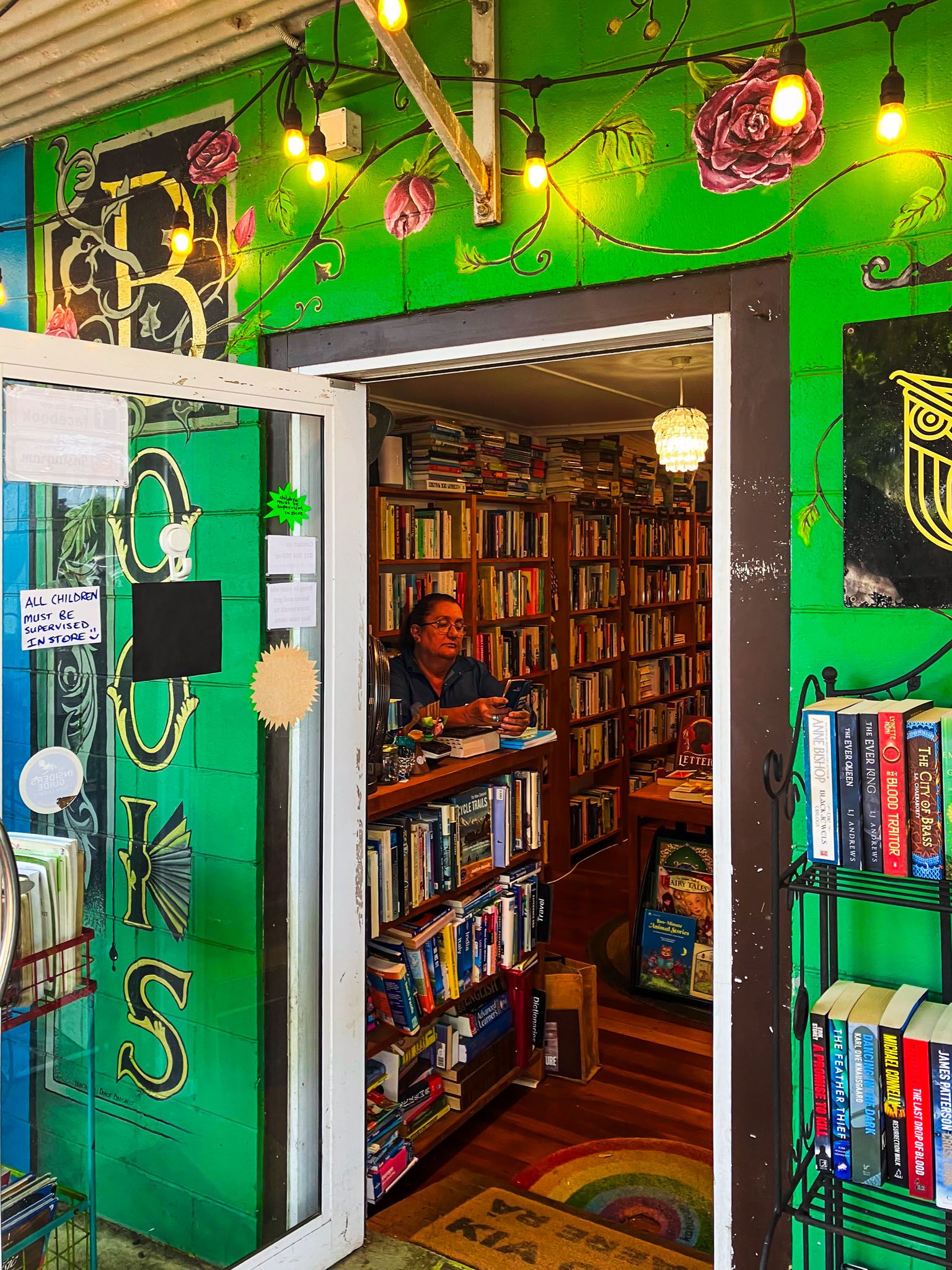
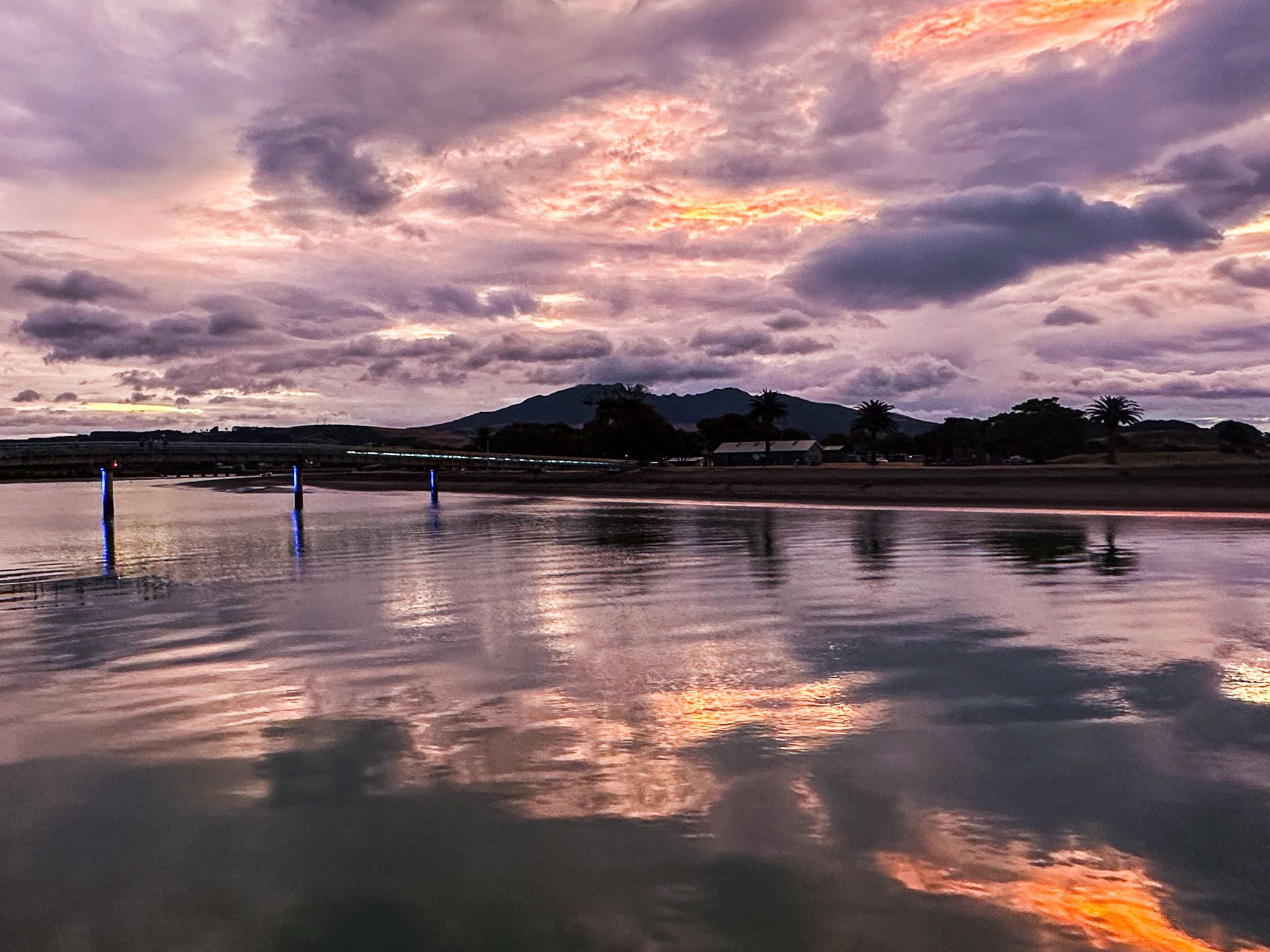
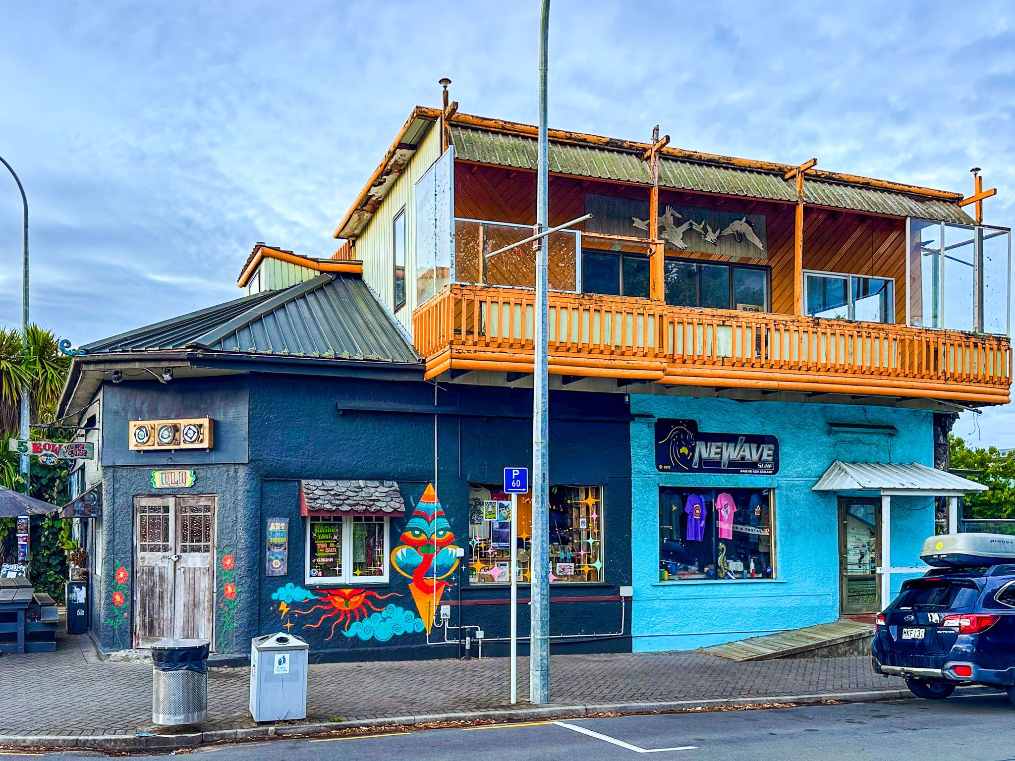
The main street in the town centre is lined with large palms, which adds to the summer vibe. Numerous galleries, cafés, restaurants and markets surround the town, adding to its popularity with visitors. From the centre, you can walk around the harbour's edge and cross a bridge to Putoetoe Point to the west or walk east to the historic wharf at Ann Point. There is camping on the point next to the airfield, and the bridge provides easy walking access for campers to the town.
The main beaches are reached on Wainui Road, which heads south, out of the town centre. After 4 km, you can take Riria Kereopa Memorial Drive to Wainamu Beach. The beach provides safe swimming on the edge of the harbour east of the mouth. Continuing to the end of the road takes you to the north end of Ngarunui Beach, south of the harbour mouth.
The main surfing and patrolled swimming area of Ngarunui is at the south end of the beach, a 3 km walk. To drive to the south end, continue on Wainui Road for 1.5 km from the Riria Kereopa Memorial Drive turnoff to Ngarunui Beach Road. This road goes to the top of the high cliffs above the beach, with spectacular views, and a large car park next to the surf lifesaving clubhouse. Just before the turnoff, a parking area provides access to Wainui Bush Park, which has a series of short bush walks and walking access to the cliff top.
Continuing south of Wainui Road takes you to the surfing hotspots of Manu Bay and Whale Bay. After Whale Bay, the road is unsealed and becomes Whaanga Road. After a windy and sometimes narrow 5.6 km drive, you will reach Te Toto Gorge, which has a spectacular viewpoint. The Mt Karioi Track, which goes to the top of Mount Karioi, also starts here. The road becomes even rougher and more remote as it continues for another 9 km to the last of the region’s major surfing destinations, Ruapuke Beach, and the nearby campground.
On the way to Raglan from Hamilton, you can also divert to Wairēinga / Bridal Veil Falls, a stunning 55-meter waterfall set in native forest. The falls are signposted on the main highway.


The harbour has an extensive history of Māori occupation, with 81 known sites dating back as far as 1400. Tainui Awhiro, Ngati Tahinga, and Ngati Mahuta were there at different times. Ngāti Māhanga iwi inhabited the area in the late 1700s when the first Europeans explored the coast. The Māori name of Whāingaroa means the long pursuit. One explanation is that the legendary priest/navigator Rakataura had a dispute with the captain of the Tainui waka and attempted to disrupt its journey from Auckland to Kawhia.
The first Europeans to settle in the area were the missionaries James and Mary Wallis in 1835. Relations with local Māori were positive. Many converted to Christianity, and there was a successful school. European settlement intensified in the mid-1850s, following a significant land sale by Wiremu Neera Te Awaitaia, which led to land clearance and pasture farming. By the late 1850s, there were over 100 Europeans and 400 Māori around Raglan, when the name was adopted for Fitzroy Somerset, 1st Lord Raglan, commander of British forces in the Crimea in the 1850s. Some Europeans were evacuated in the early 1860s when the Waikato land war threatened. The area was unaffected by the war, but land was confiscated north of the harbour, although much of this was returned. The excellent Raglan and District Museum provides insights into local history, featuring artifacts and stories from Māori and European communities.
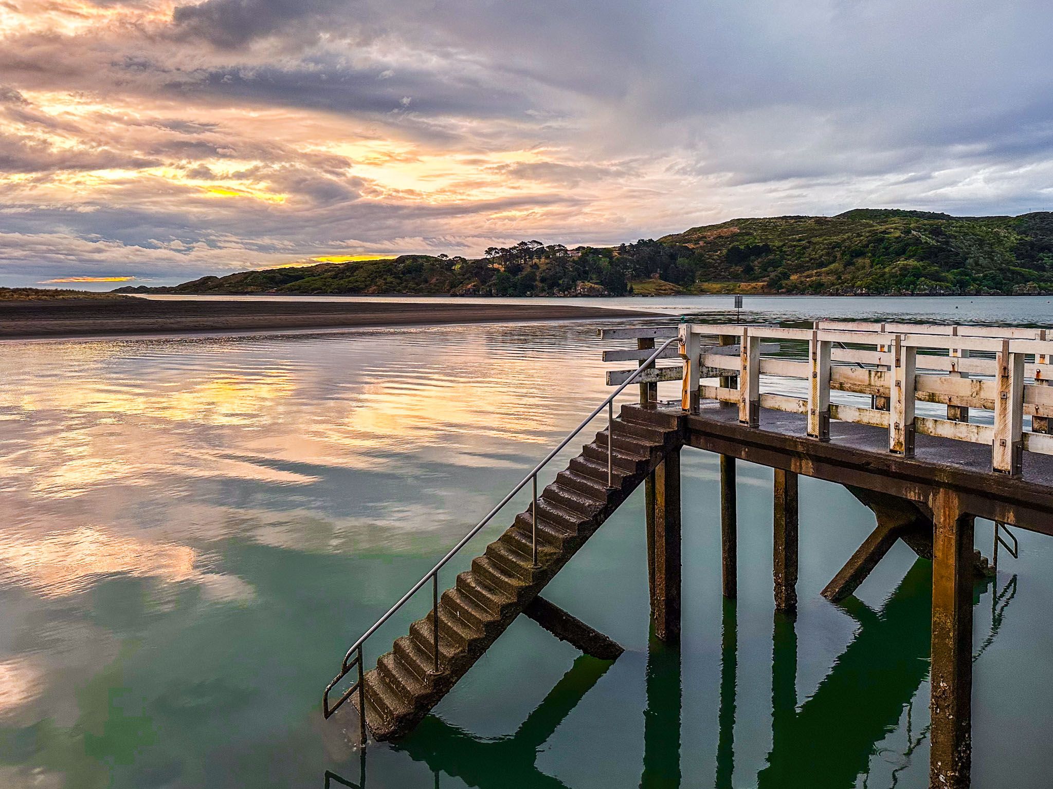
Raglan emerged as a holiday destination in the 1880s, with access via boat from Onehunga in Auckland. Road access from the Waikato was more challenging for many years. Locals quickly saw the commercial opportunity, with a public meeting in late 1889 about the need for more accommodation for visitors, leading to efforts to build additional cottages for families. Water access was also crucial for a very long time for goods, with the production and shipment of cement being a significant activity until the 1970s. Today, one of the silos is part of an apartment complex on the wharf at Ann Point.
Raglan was also significant in Māori land rights. During World War II, the government took Māori land for an airforce airfield at Putoetoe Point. It should have been returned after it was no longer required but was converted into a golf course. Tuaiwa (Eva) Rickard led the protest. The occupation of the golf course in 1978 was a significant event, along with Bastion Point in Auckland, in convincing the government to address historic breaches of Māori property rights.
Raglan is a 2.5-hour drive south from Auckland on State Highways 1 and 23 or 45 minutes from Hamilton on State Highway 23.