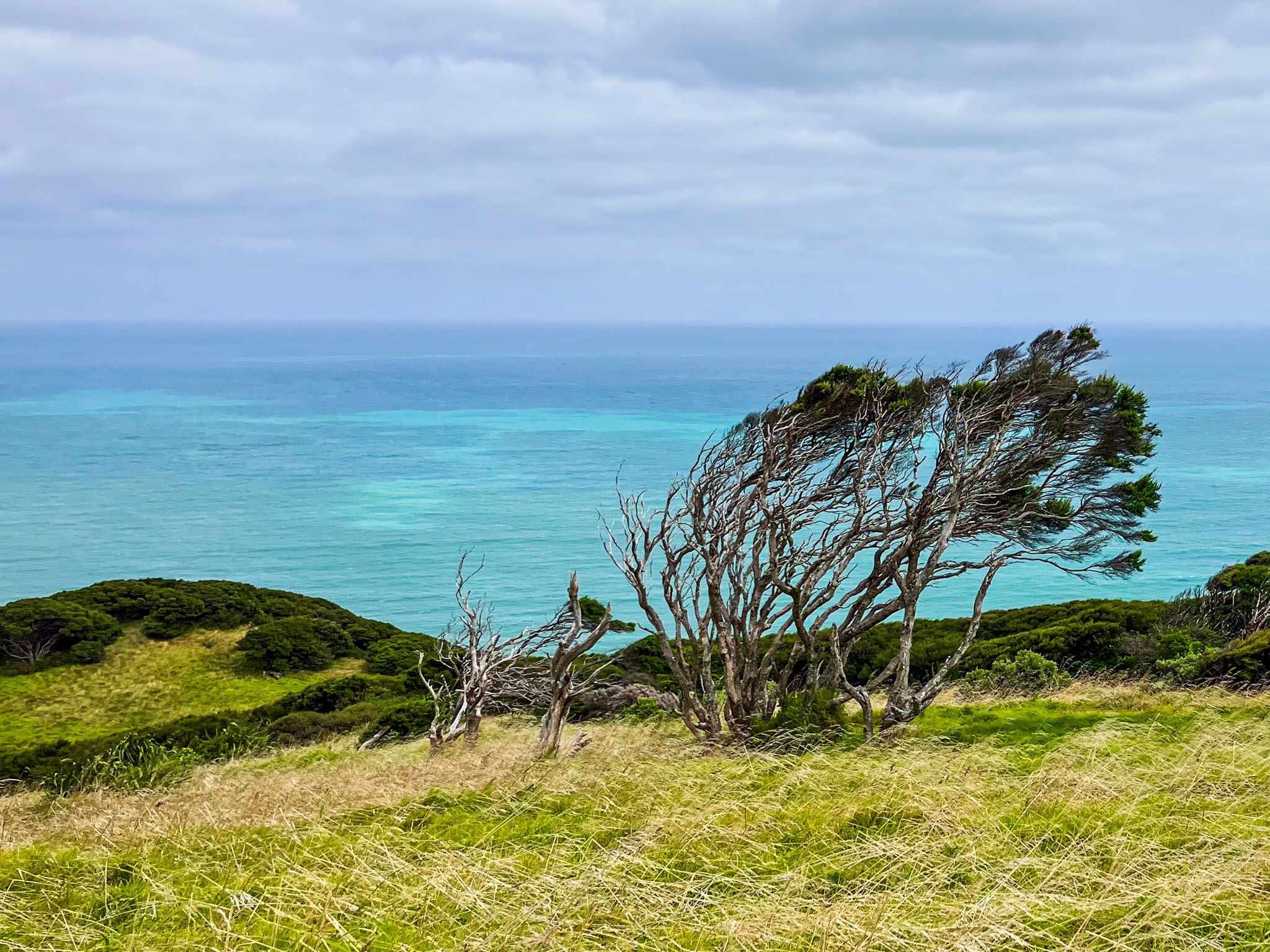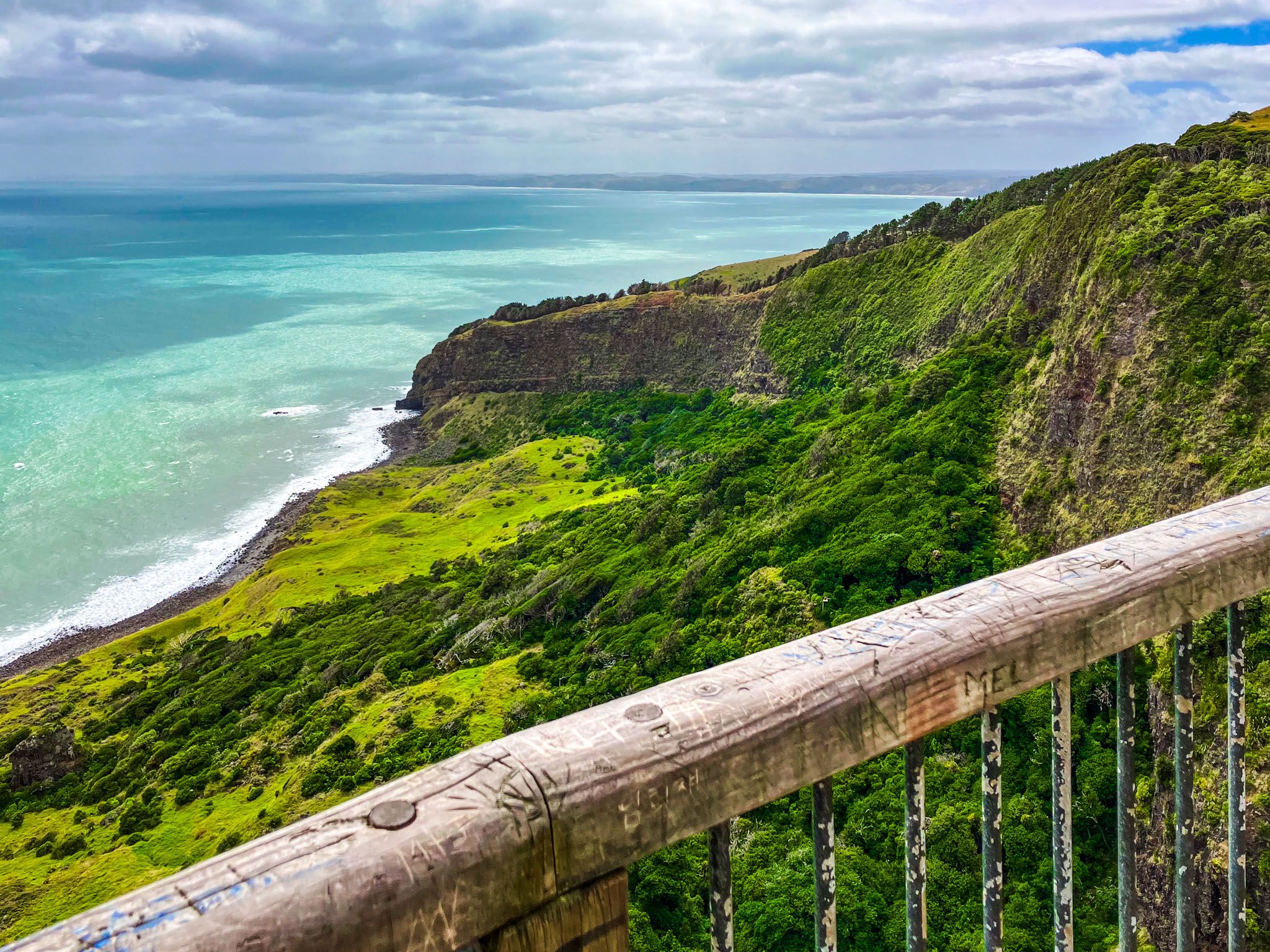
Te Toto Gorge, 13.8 km south of Raglan on windy gravel Whaanga Road, is a stunning coastal area on the edge of Mount Karioi, about halfway to Ruapuke Beach. It offers dramatic views of the west coast and the Tasman Sea. The gorge is also rich in Māori history and features terraced gardens and pā remnants that reflect the region's pre-European settlement.
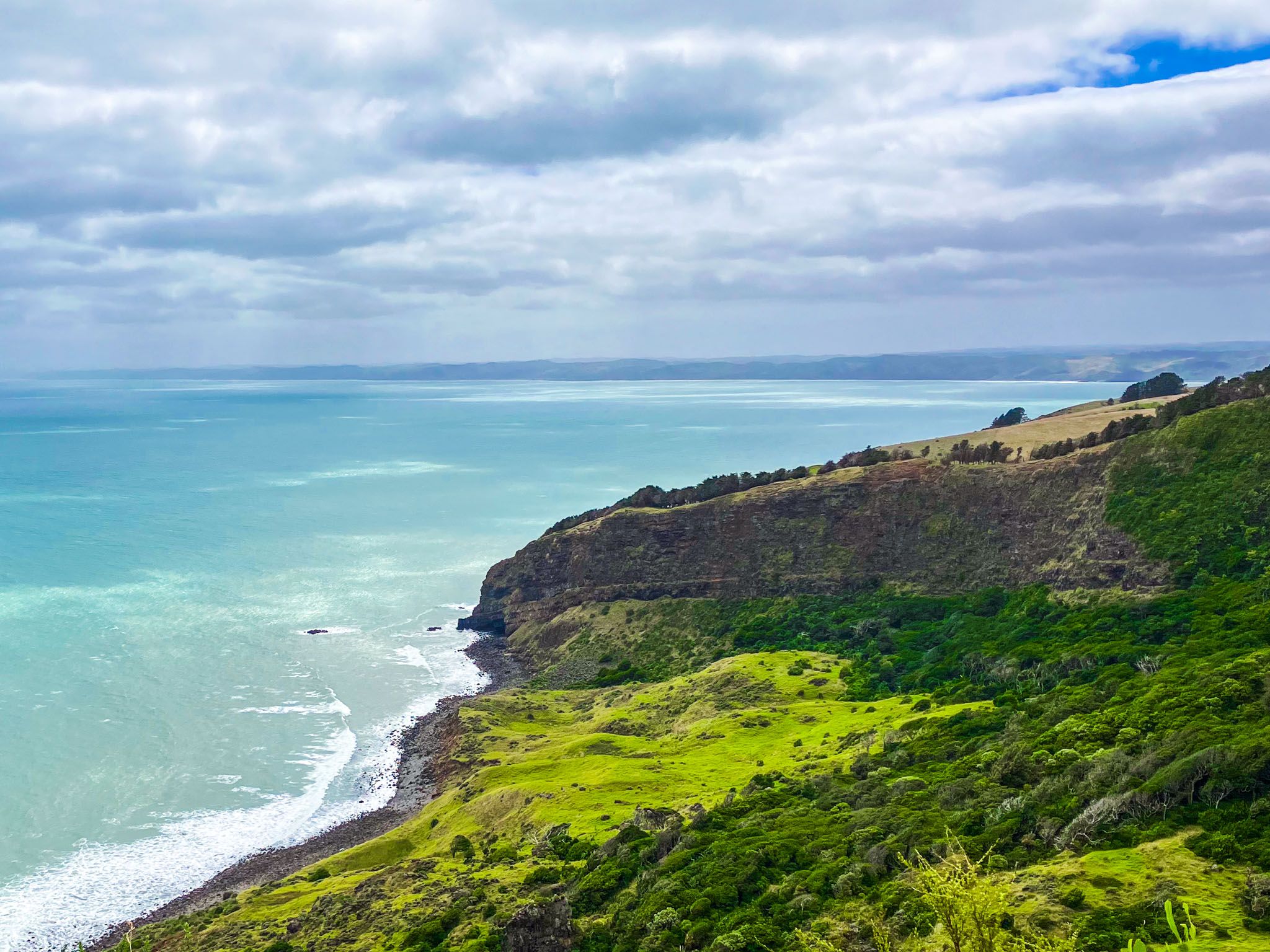
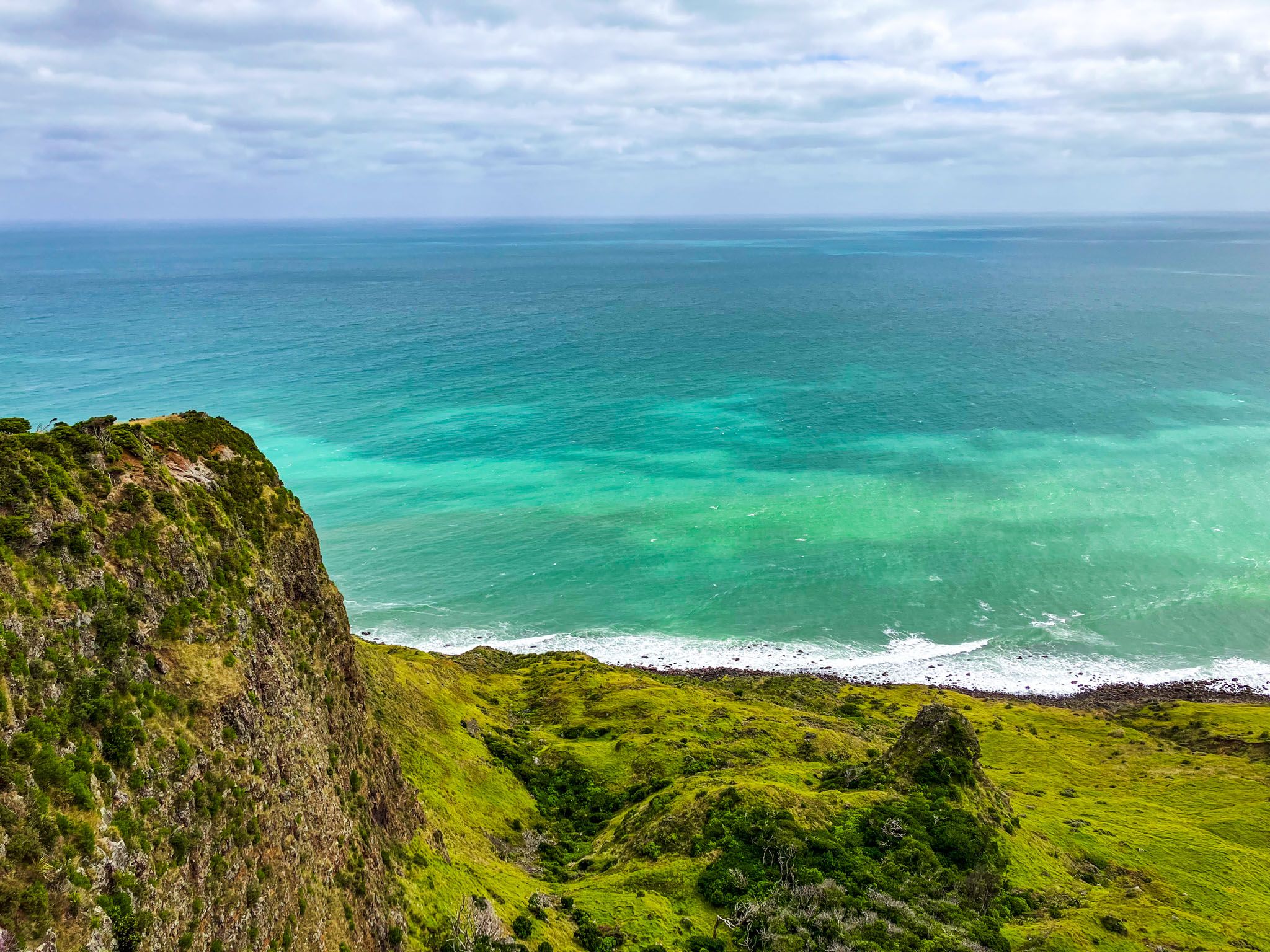
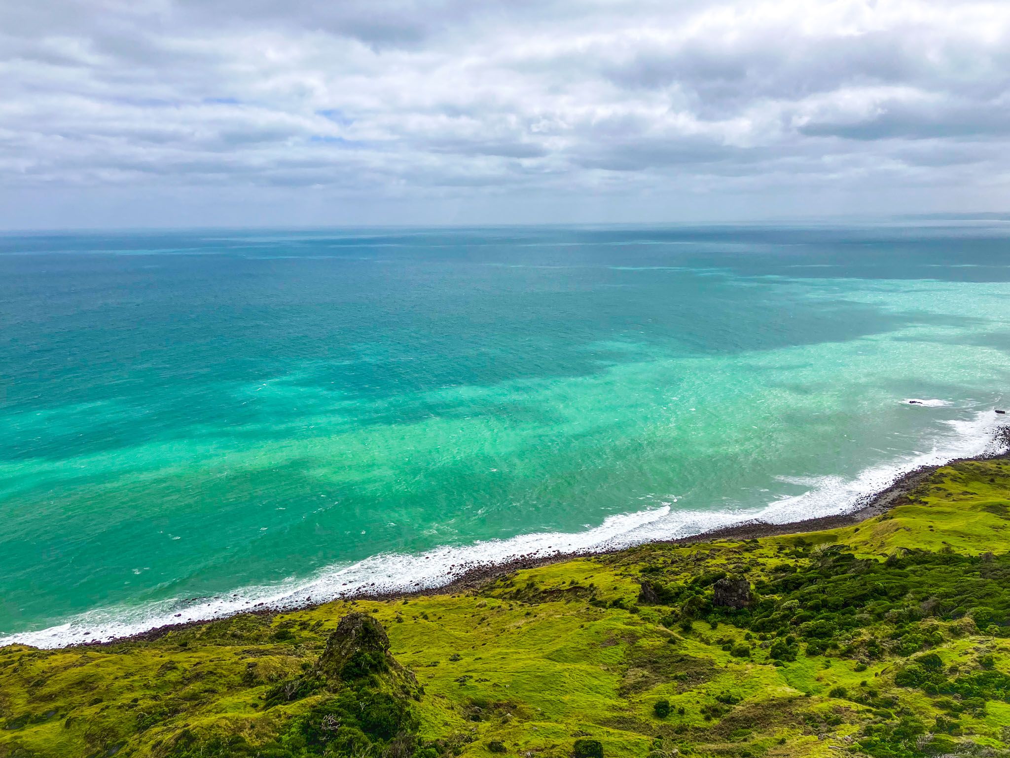
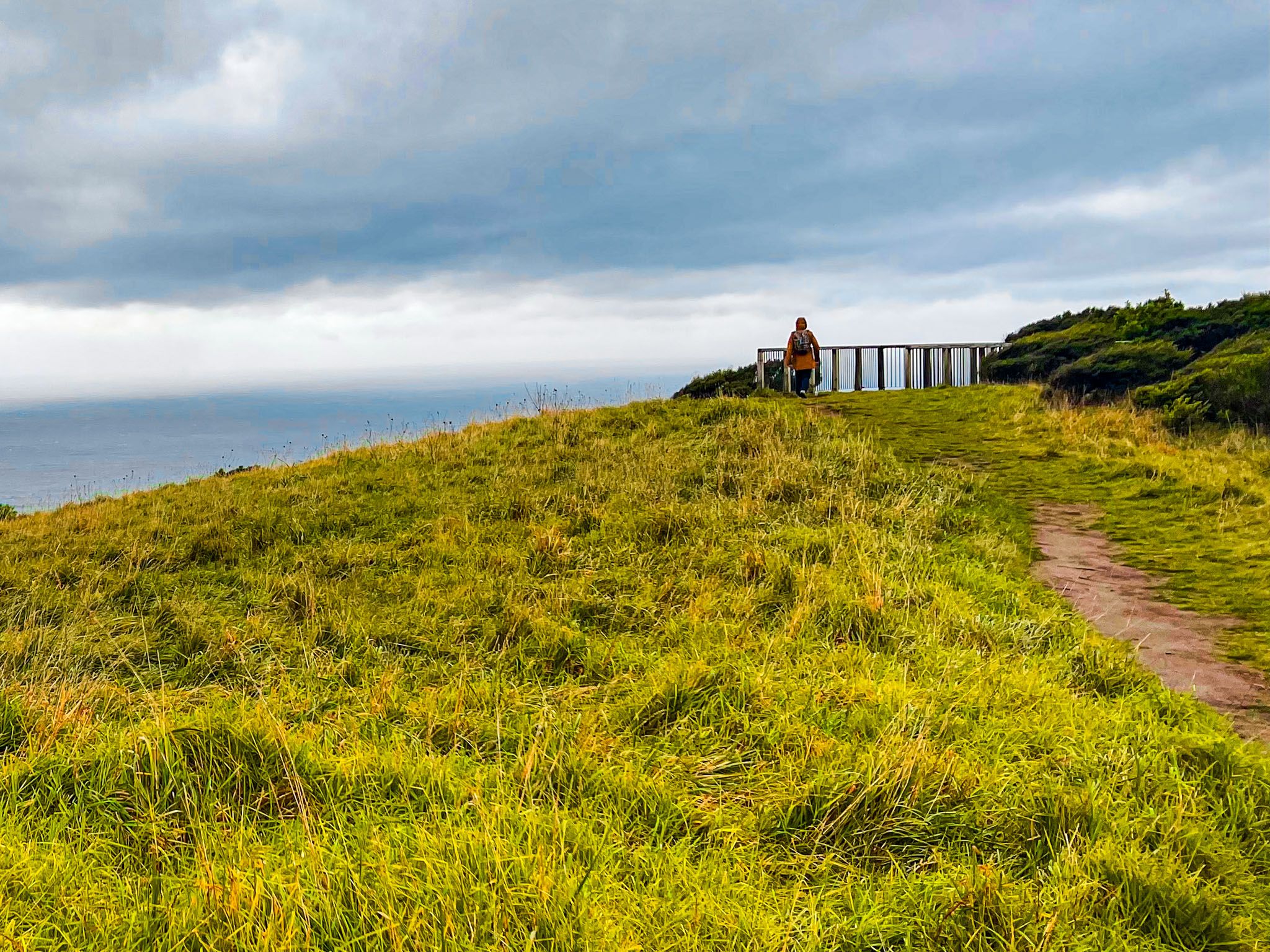
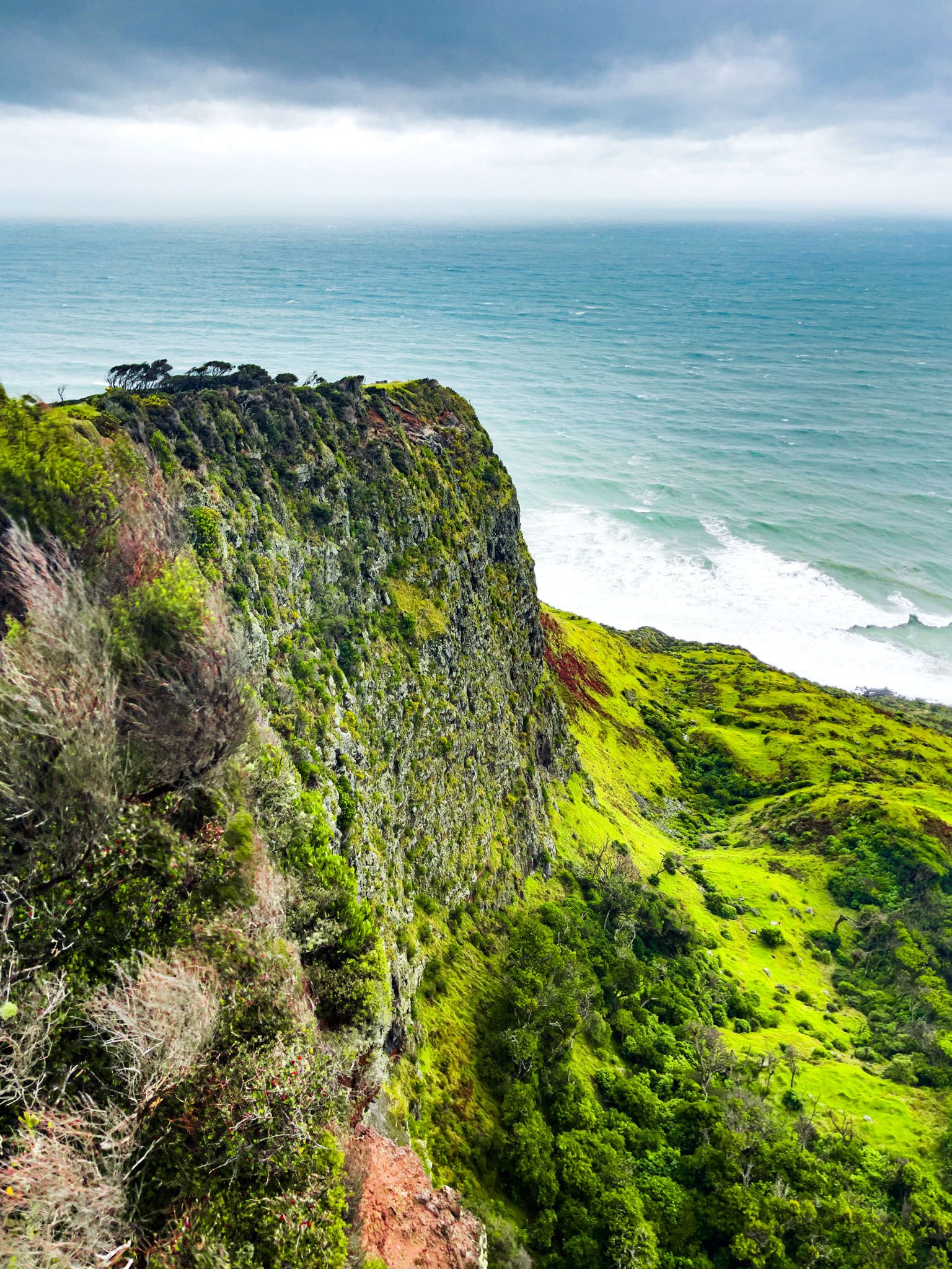
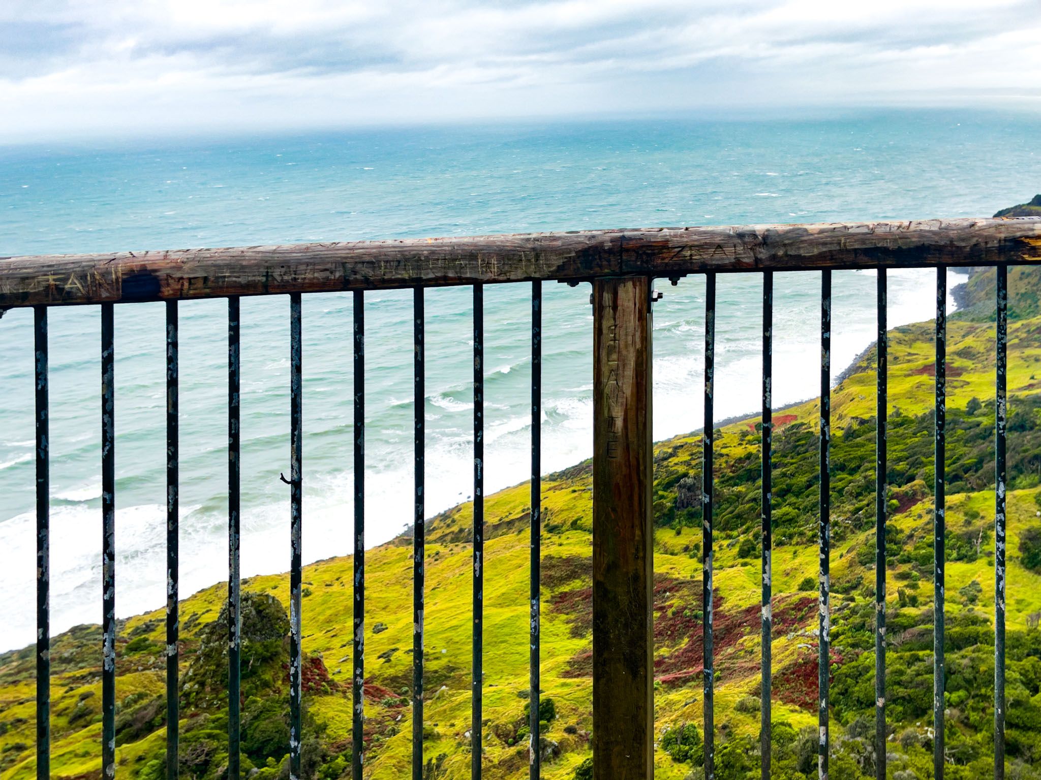
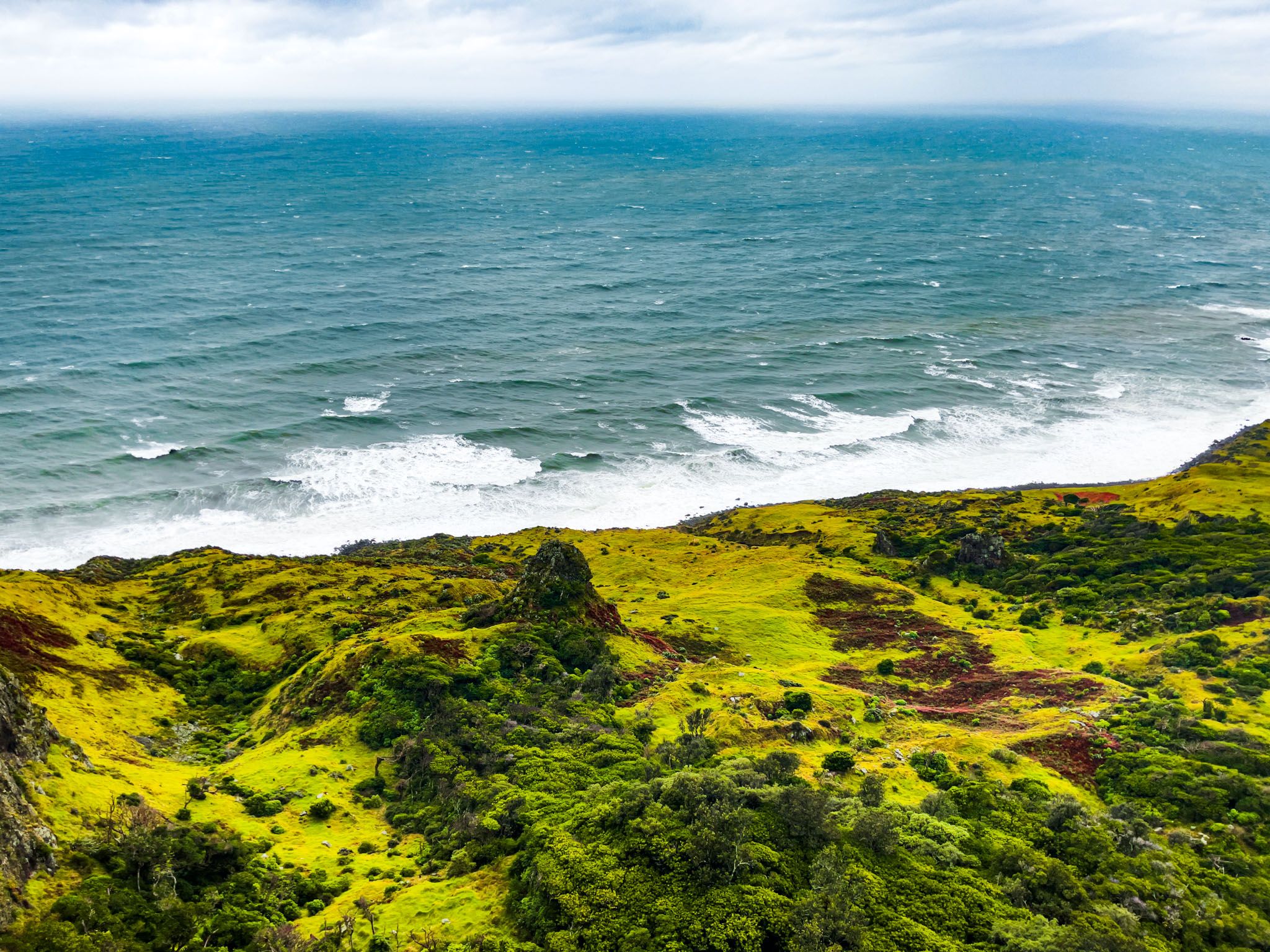
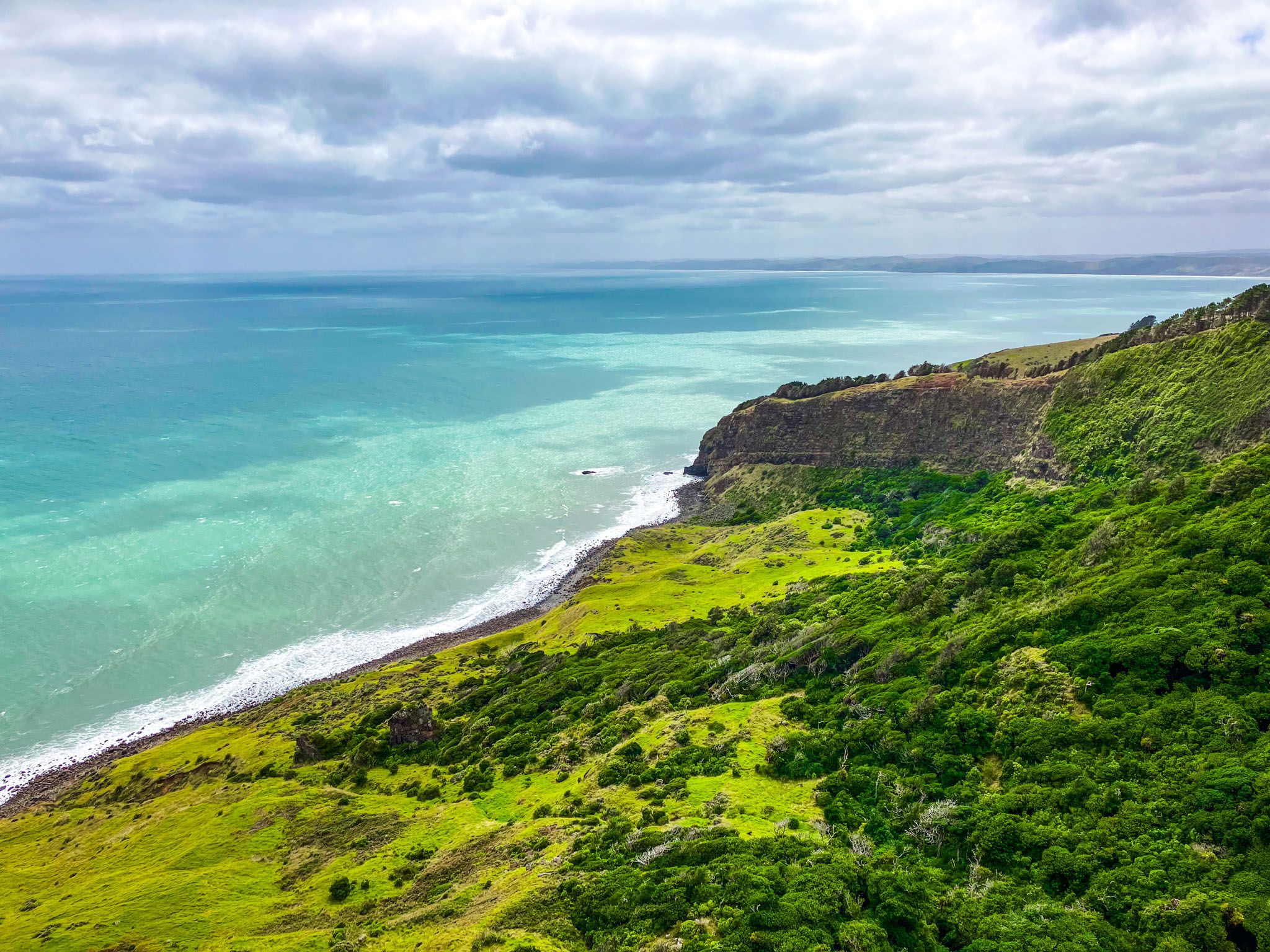
The car park is right beside the road. A 5-minute track takes you to a cliff-edge platform 200 metres above sea level and 150 metres above the gorge carved out by the Te Toto Stream. This provides a spectacular view of the gorge and coastline, divided into natural amphitheatres marked by the steep high ridges created by the Mount Karioi eruption 2.4 million years ago. Fifteen lava flows over millennia make up the 150 m cliffs of the Gorge.
You can get down to the gorge on unmarked tracks, but take care. An unmaintained, steep track is off the road a few metres north of the car park. There is also a route that goes down the ridge from the lookout towards the south end of the gorge.
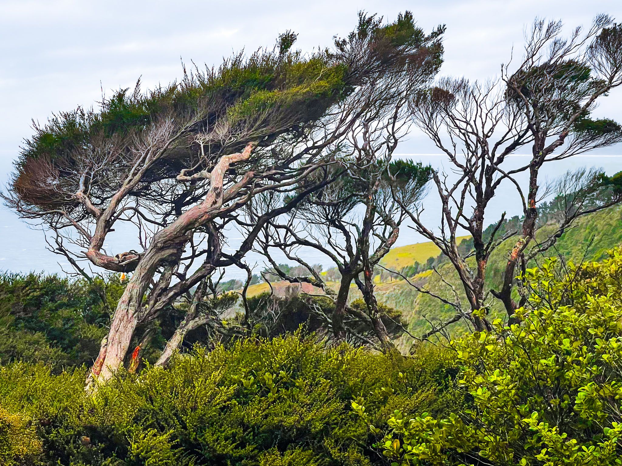
Taking the route from the car park, you emerge from the forest onto a coastal terrace below the cliffs. The edge of the terrace, where the lava flow met the sea, shows carbonised logs. You may also discover remnants of garden plots, stone walls, and karaka groves dating back to the 1700s. There are also two small pā sites and storage pits.
Te Toto Gorge car park also serves hikers heading to Mount Karioi. The Mount Karioi Track climbs over 500 metres to the peak and then crosses to the other side of the mountain on the Wairake Track to Karioi Road. It takes up to 3.5 hours to reach the peak, although there is a viewpoint at a secondary peak after 2.5 to 3 hours.