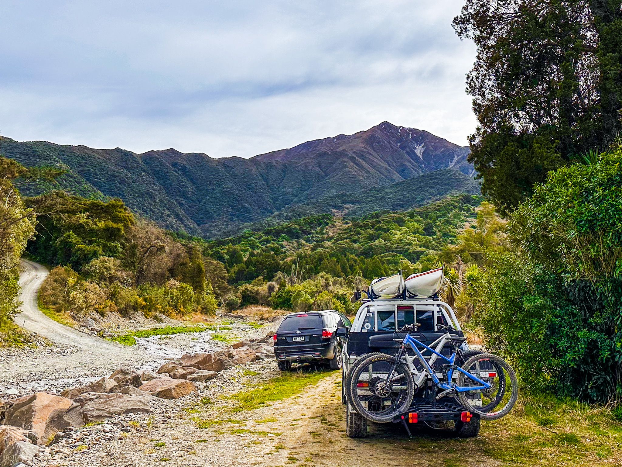
The Peel Forest Park Scenic Reserve covers 4,077 hectares. It includes Little Mount Peel / Huatekerekere, Middle Mount Peel, and part of the Tara Haoa Range. The park is tucked into the Southern Alps' foothills on the west side of the Rangitata River. Peel Forest combines the story of forestry around the Canterbury foothills with several excellent tracks, including several easy forest walks and waterfalls. These make a great way to break up a trip along the scenic route between Mt Hutt and Geraldine. There is also camping opposite the park near the river between Cain Flat and Clarke Flat.
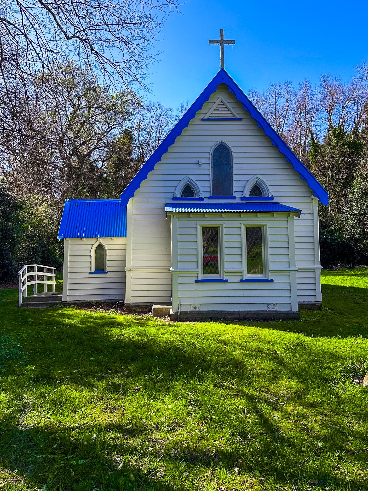
The reserve runs around the southwest side of Little Mount Peel / Huatekerekere, 22 km north of Geraldine. To get there, take Geraldine-Arundel Road from State Highway 79, then veer left onto Peel Forest Road. After 12 km, you arrive at the hamlet of Peel Forest. Every small community needs a church, and Saint Stephen's Church is on the right as you enter the hamlet of Peel Forest. The charming church was built in 1868, then destroyed by a whirlwind and reconstructed in 1885. It is known for its wooden interior and unique New Zealand interpretation of traditional stained glass windows.
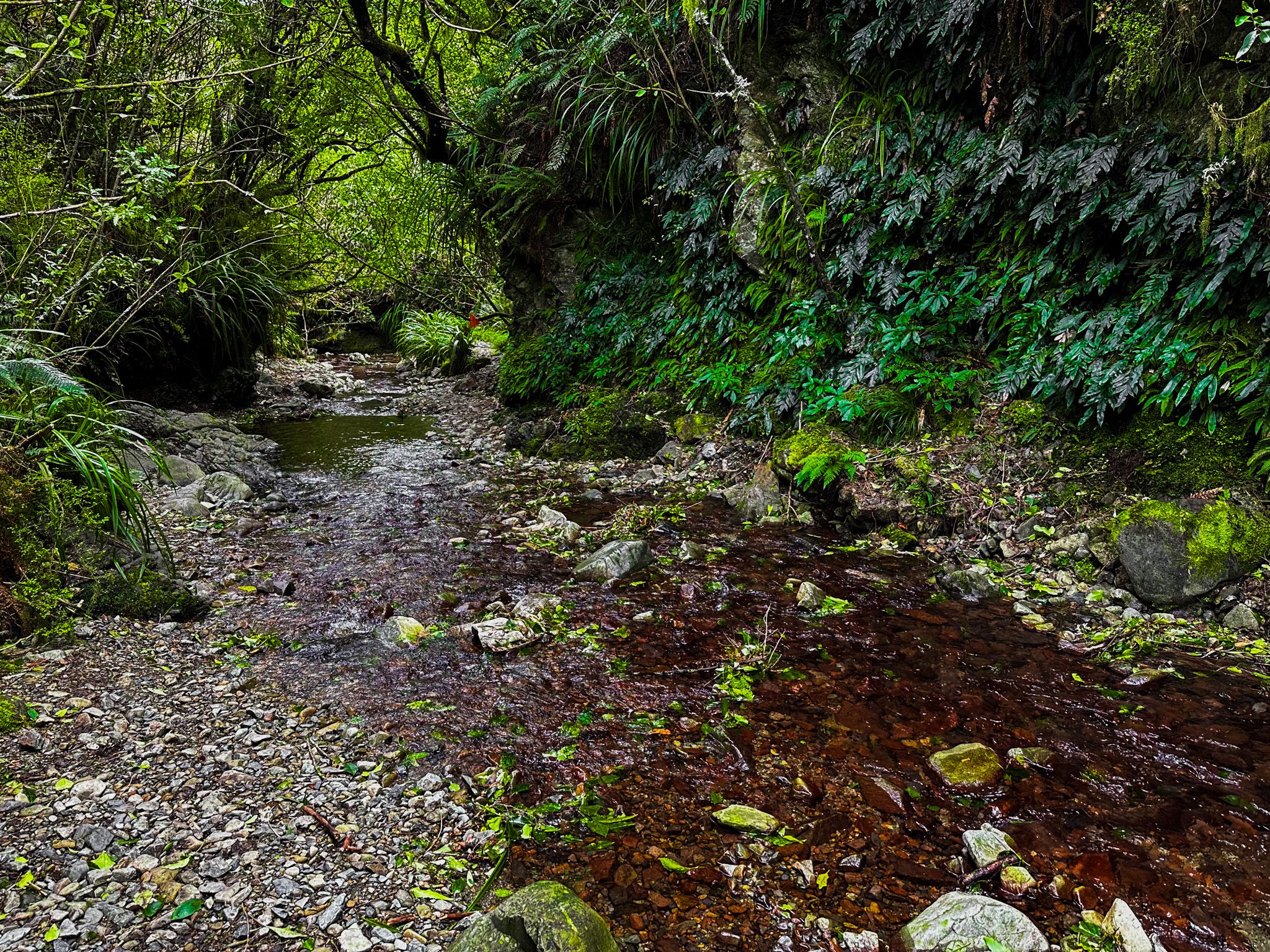
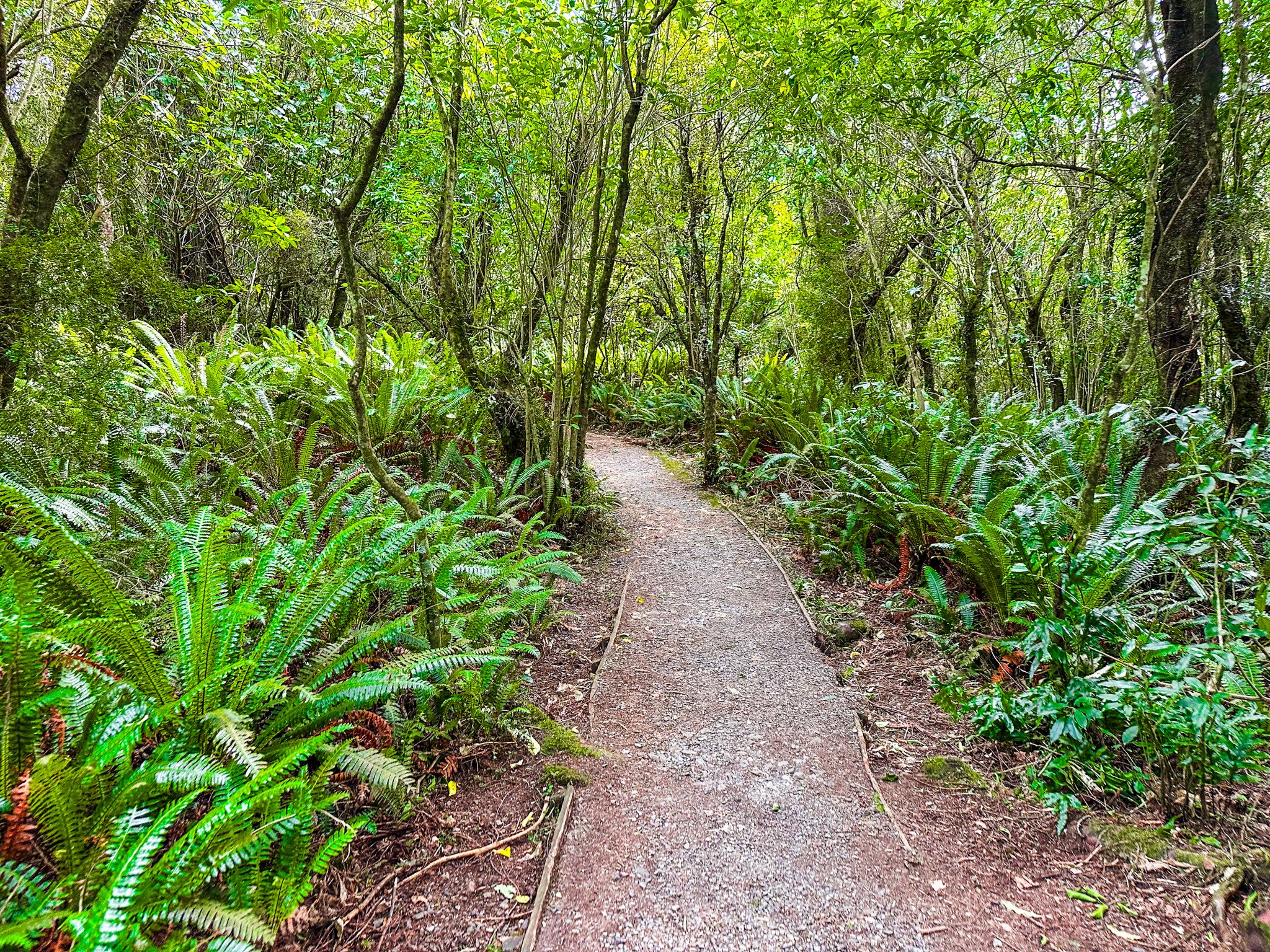
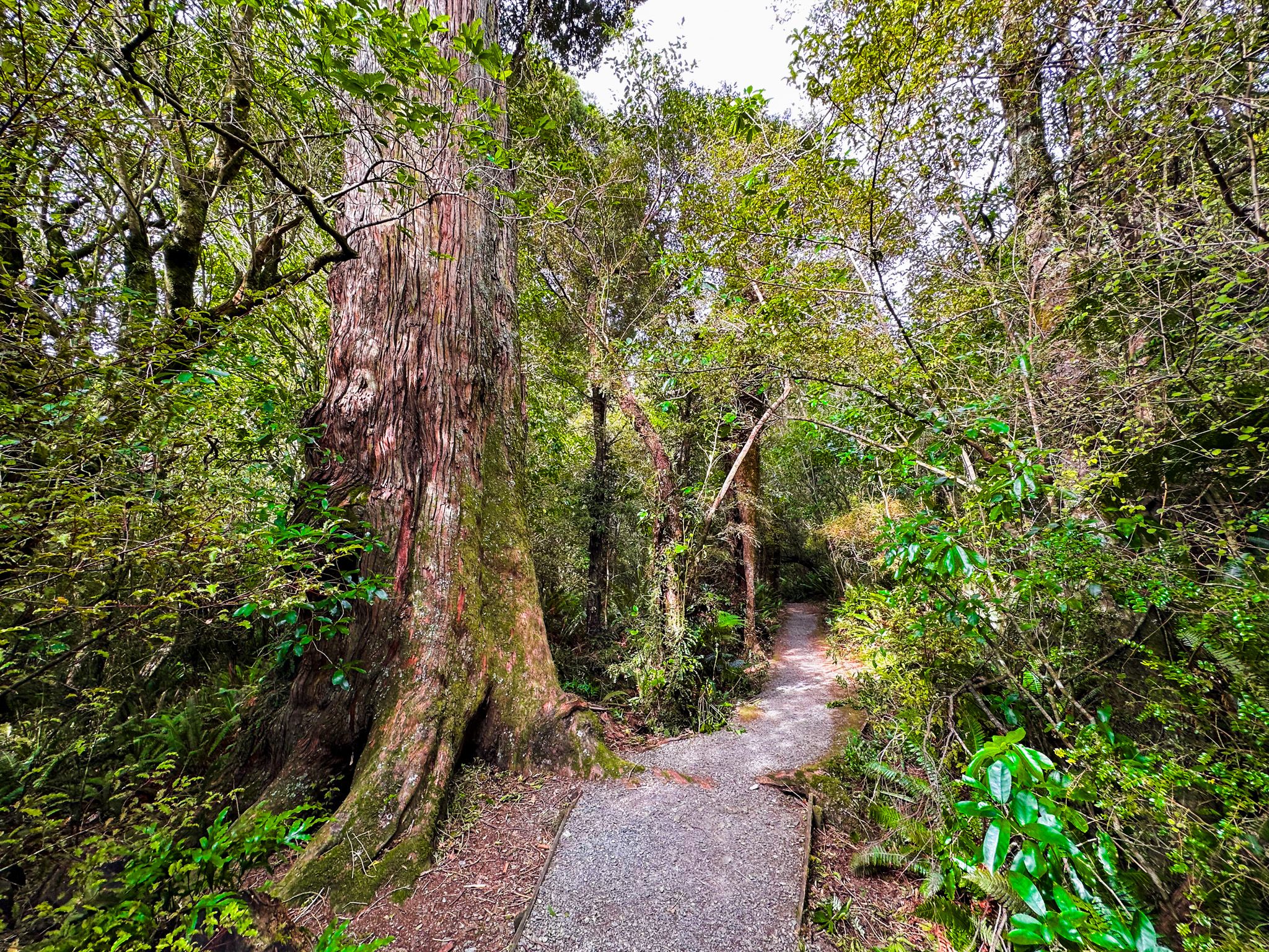
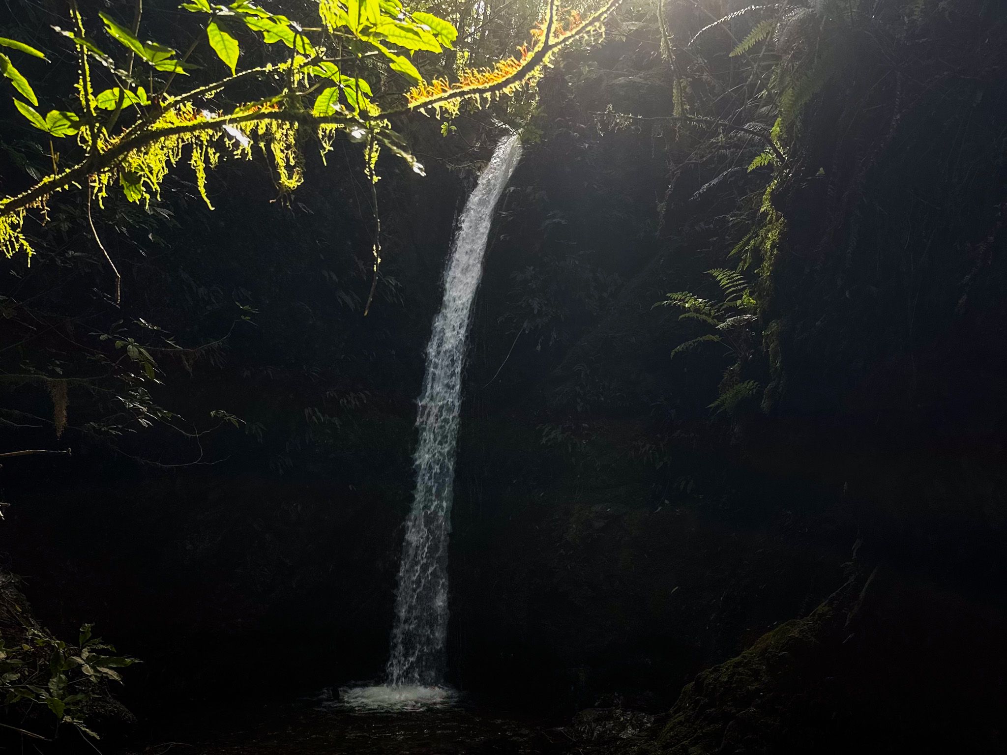
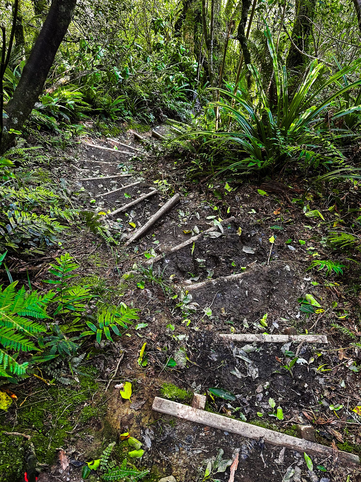
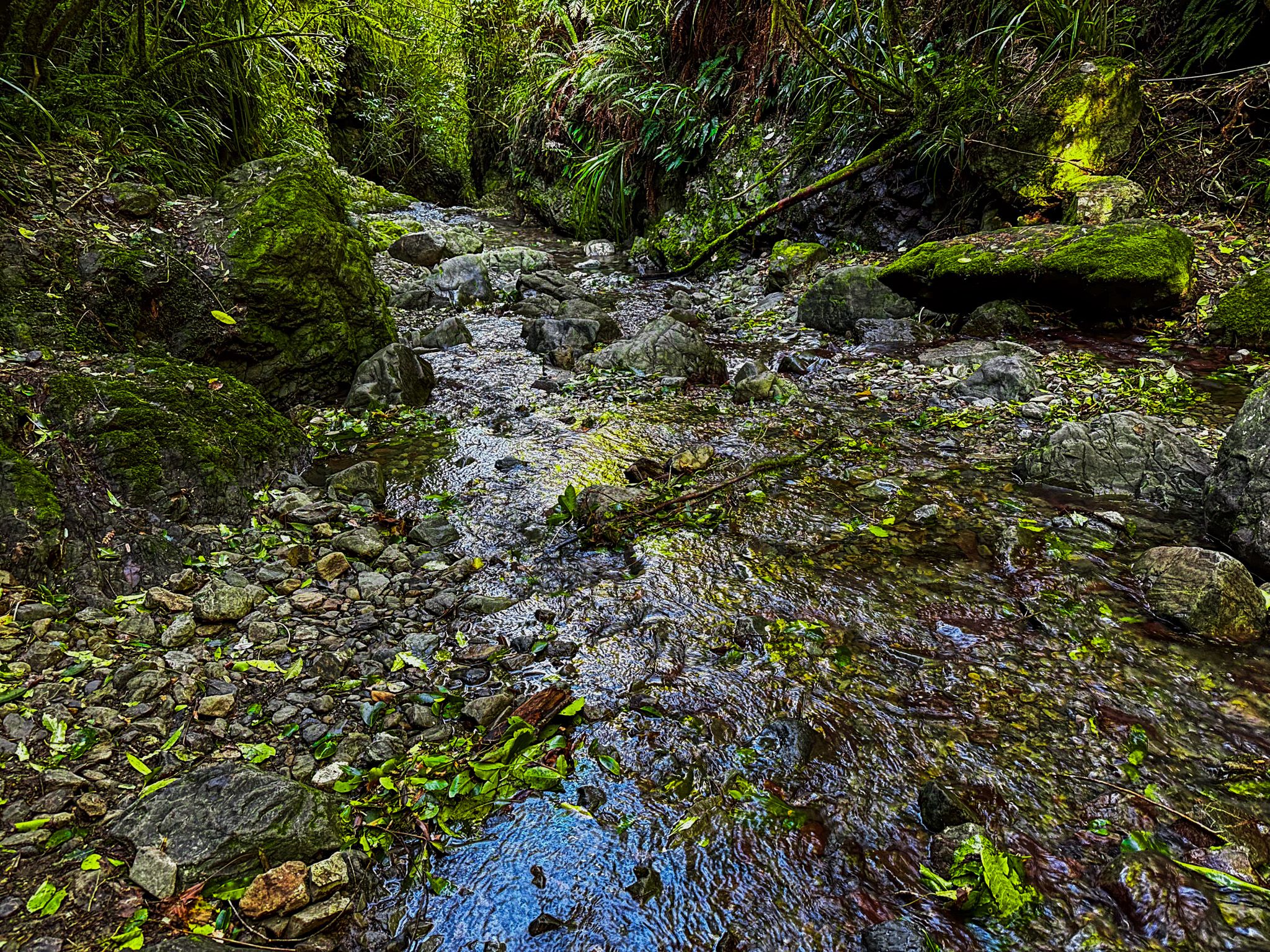
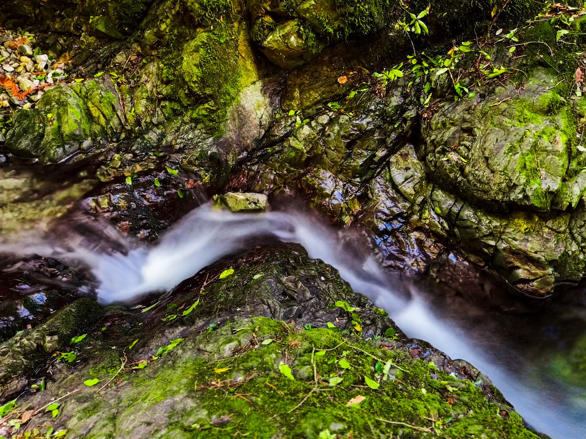
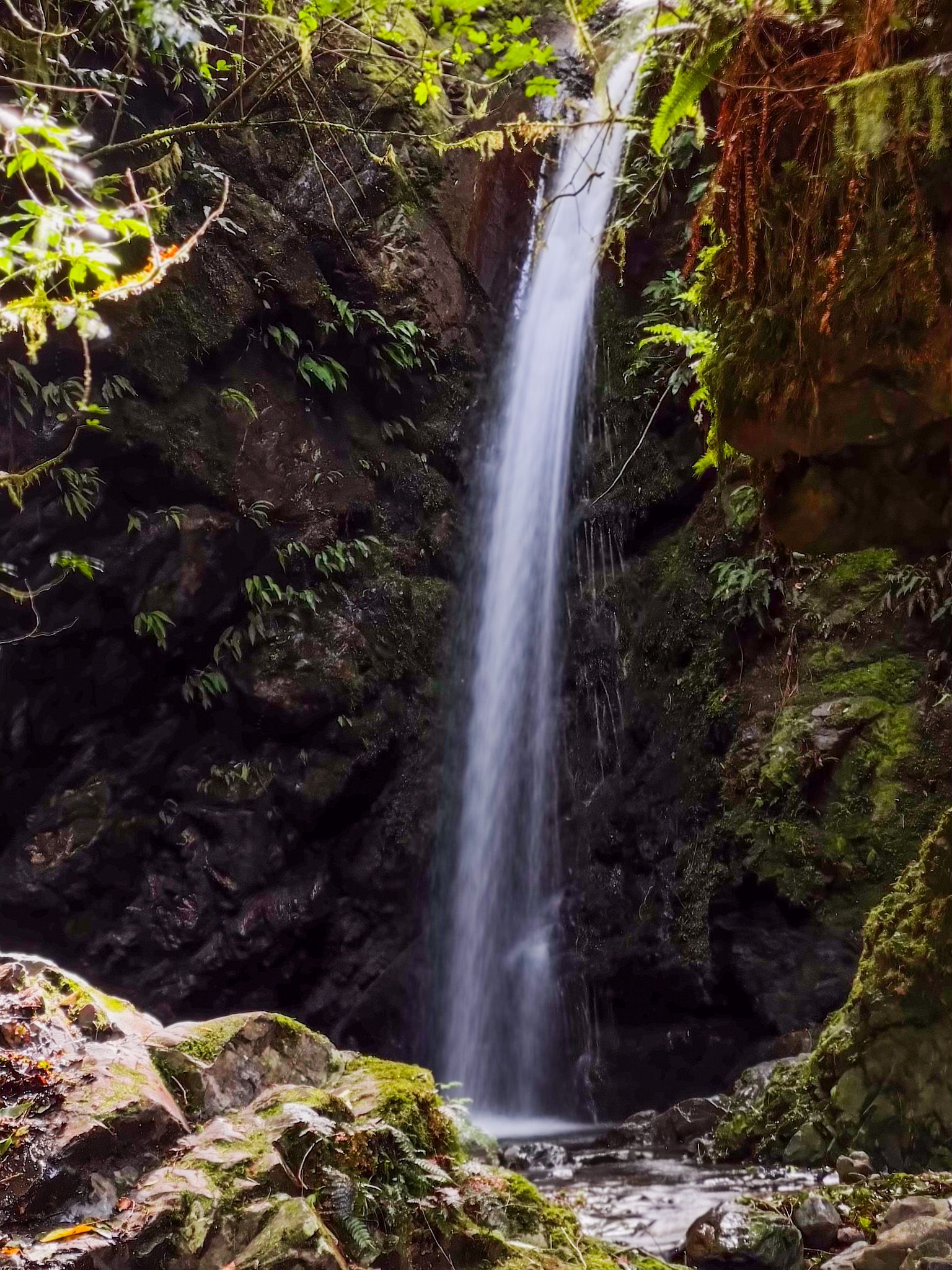
From the hamlet, you can continue on Rangitata Gorge Road to Te Wanahu Flat to access several short tracks: the Kahikatea Walk, the Acland Falls Track and the Big Tree Walk. A second option is to turn left from Rangatata Gorge Road and drive towards the end of Blandswood Road. At the end is the tiny hamlet of Blandswood. Parking is limited near the reserve access, but there is extra parking where the road fords the Kowhai Stream. The Dennistoun Bush Walk and Emily Falls Track are short walks from there.
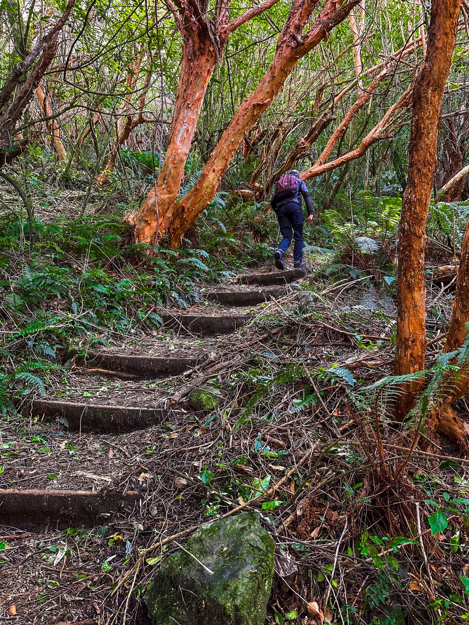
There are also more substantial hiking and tramping options in the reserve. The Allans Track links Te Wanahu Flat to Blandwood Road, about 90 minutes each way. There is also a day tramp up to the peak of Little Mount Peel / Huatekerekere, with a climb of over 800 to 1,311 metres. This can be done as a loop via the Allans and Deer Spur Tracks, connecting to the South Ridge Route at the top and the Emily Falls Track for the final section. Even more rugged is access to The Tara Haoa Range from Rangitata Gorge Road.
The Peel Forest has a fascinating history. It was one of several forests around the Canterbury foothills to the Southern Alps, where forests survived large-scale burn-offs around 800 to 1,000 years ago. The burnoffs were probably caused by the long-term drying out of the Canterbury Plains, which made them vulnerable to natural events such as lightning strikes and the arrival of Māori moa hunters, which led to large-scale cooking fires.
For local Māori, there is a connection to the area through the story of the voyage of Te Ārai-Te-Uru from Tauranga in the North Island, down the Canterbury and North Otago coast. The waka got into trouble, and the crew threw out their kai hīnaki (food baskets), which became the Moeraki Boulders / Kaihinaki. It didn’t help much, and the waka ran onto Te Taki o Maru (the reef of Maru) and started to break up east of Katiki Point. Most of the crew got to shore and started naming the landscape as they explored.
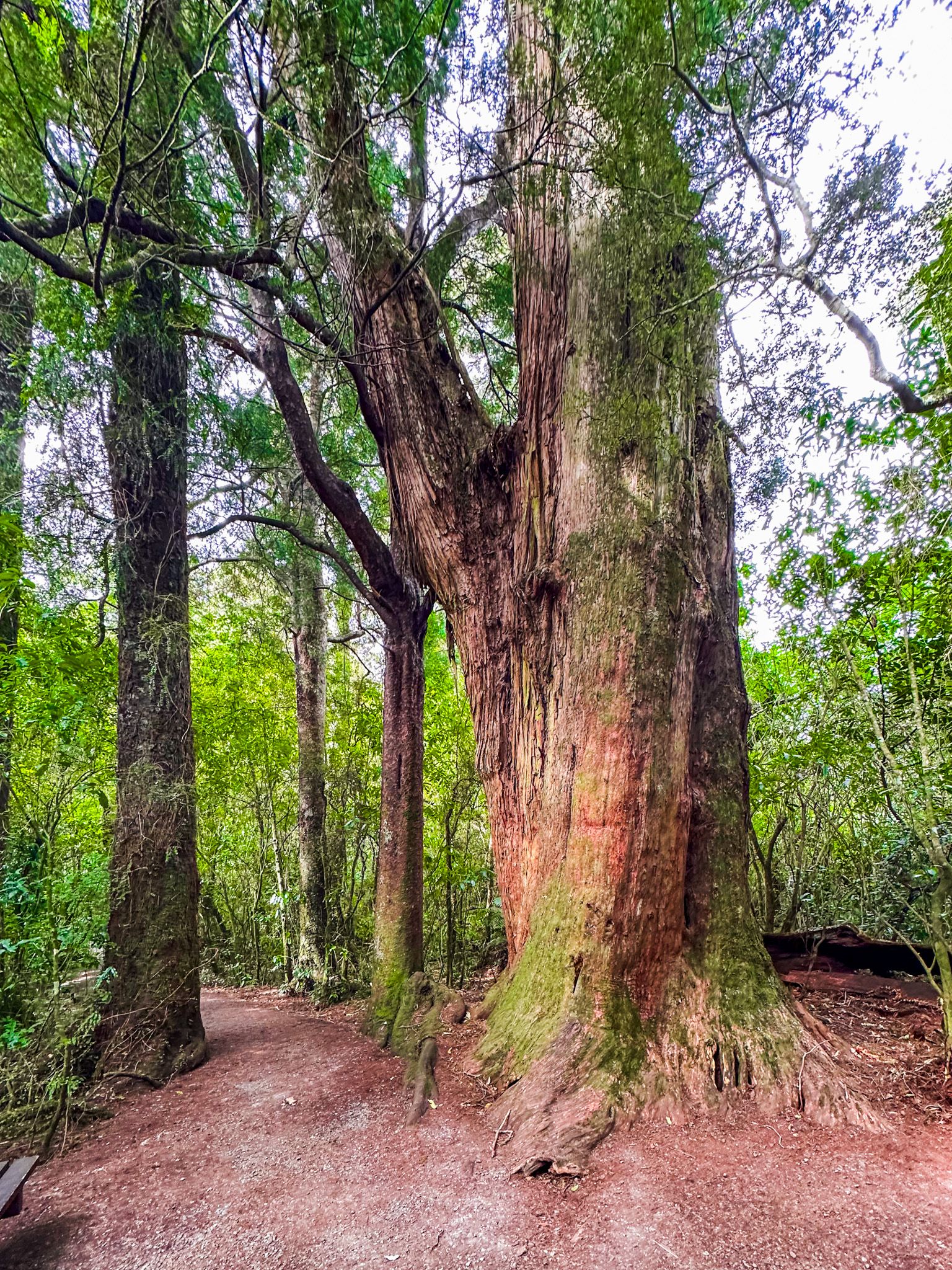
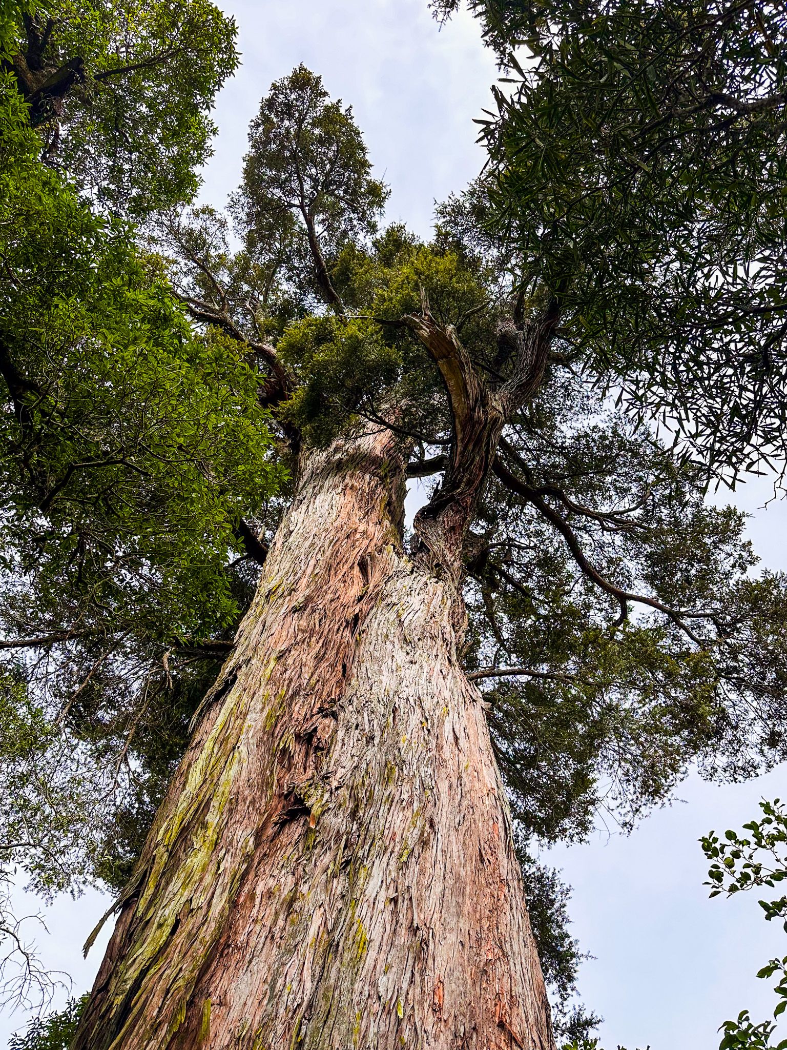
Crew members Tarahaoa and Huatekerekere decided to settle along the Rangitata River near the foothills. They had two tamariki (children), Aroarokaihea and Kirikirikatata, and four mokopuna (grandchildren). When Tarahaoa and Huatekerekere died, they became Mount Peel and Little Mount Peel / Huatekerekere. Their tamariki are the ancient tōtara of Peel Forest, and the four mokopuna are the nearby Four Peaks.
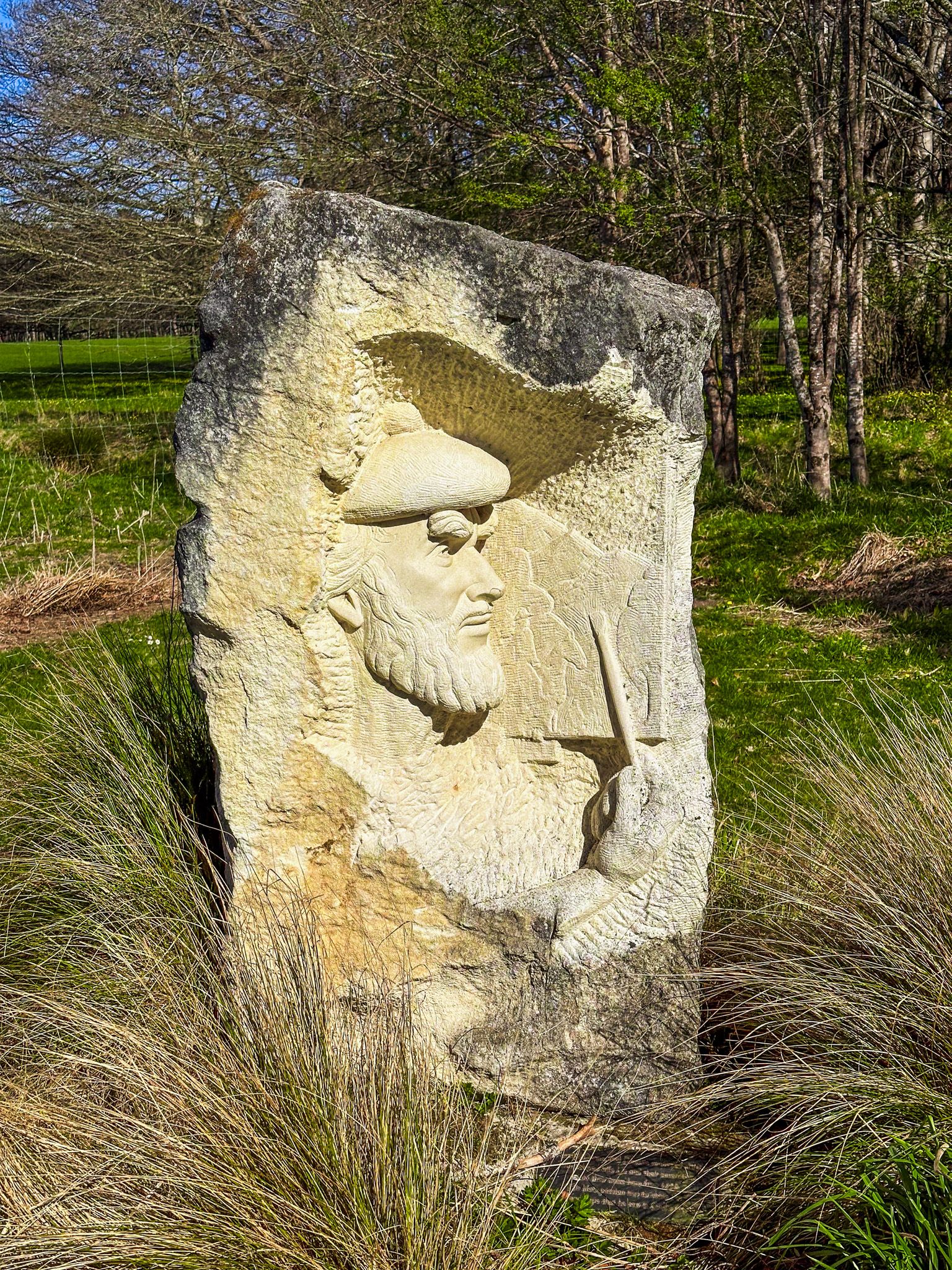
More prosaic was Charles Torlesse's visit in 1849 in search of coal. He named the area "Gurdon Forrest," which Francis Jollie later renamed in memory of an English Prime Minister of the period, Sir Robert Peel. Early sheep runs were established by John Acland, Charles Tripp, and Francis Jollie. In the late 1850s, The Acland and Tripp partnership owned nearly 120,000 ha, including Mount Peel, Mount Somers, Mount Possession, Orari Gorge, and parts of Mesopotamia and Hakatere at its peak.
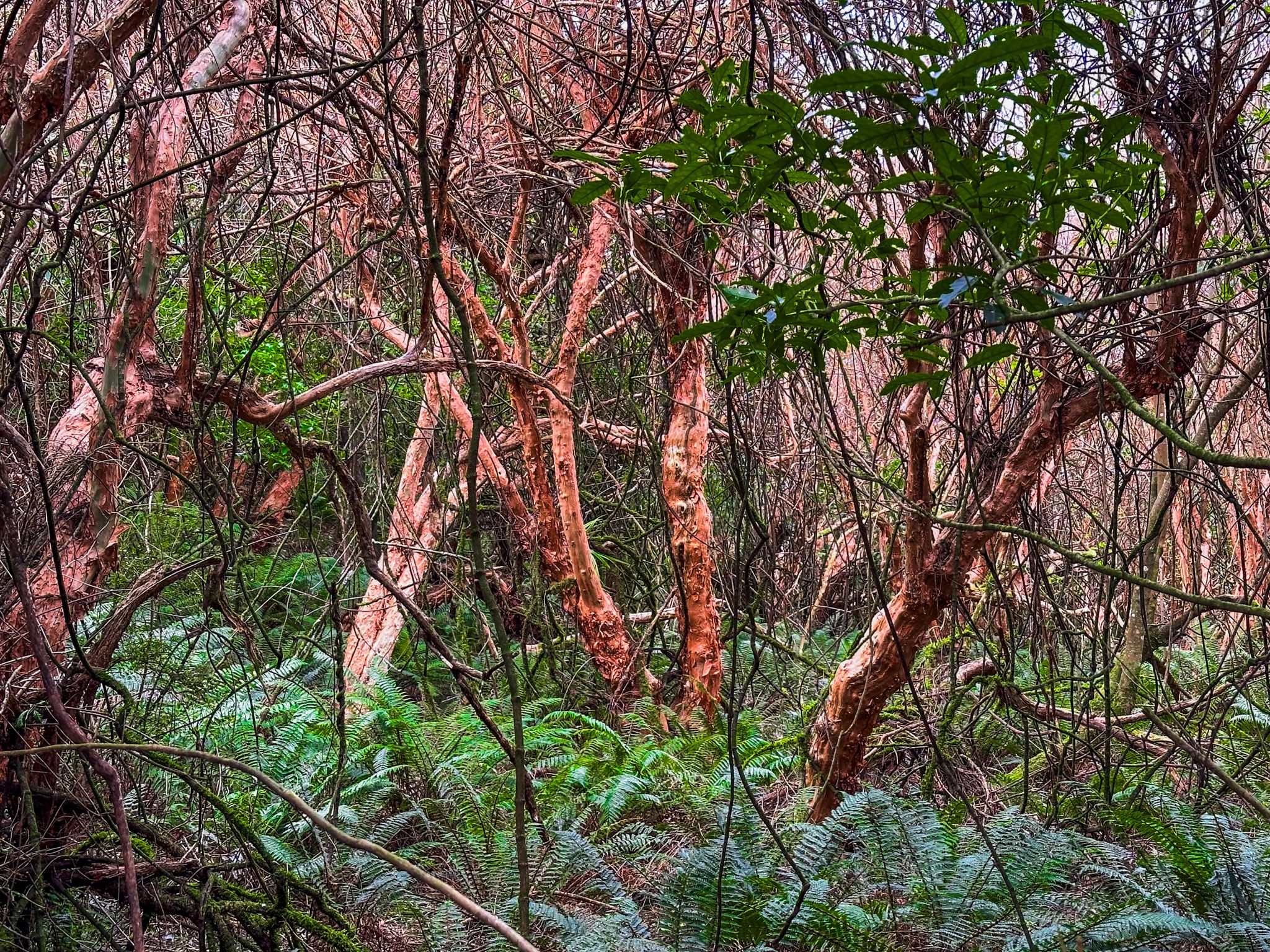
Growth in the local community began in the 1850s with the timber industry. Kahikatea, matai, and tōtara were cut and milled locally. Remnants of the sawpits can be seen near Clarke Flat on the Kahikatea Track. The entire forest probably would have disappeared, but In 1881, a visiting British MP, Arthur Mills (Acland’s brother-in-law), was appalled by the devastation, prompting him to purchase 16 hectares of virgin ancient forest. This purchase would later become the foundation of the park. Sawmilling continued in the area until after the 1900s, but the die for conservation was cast!