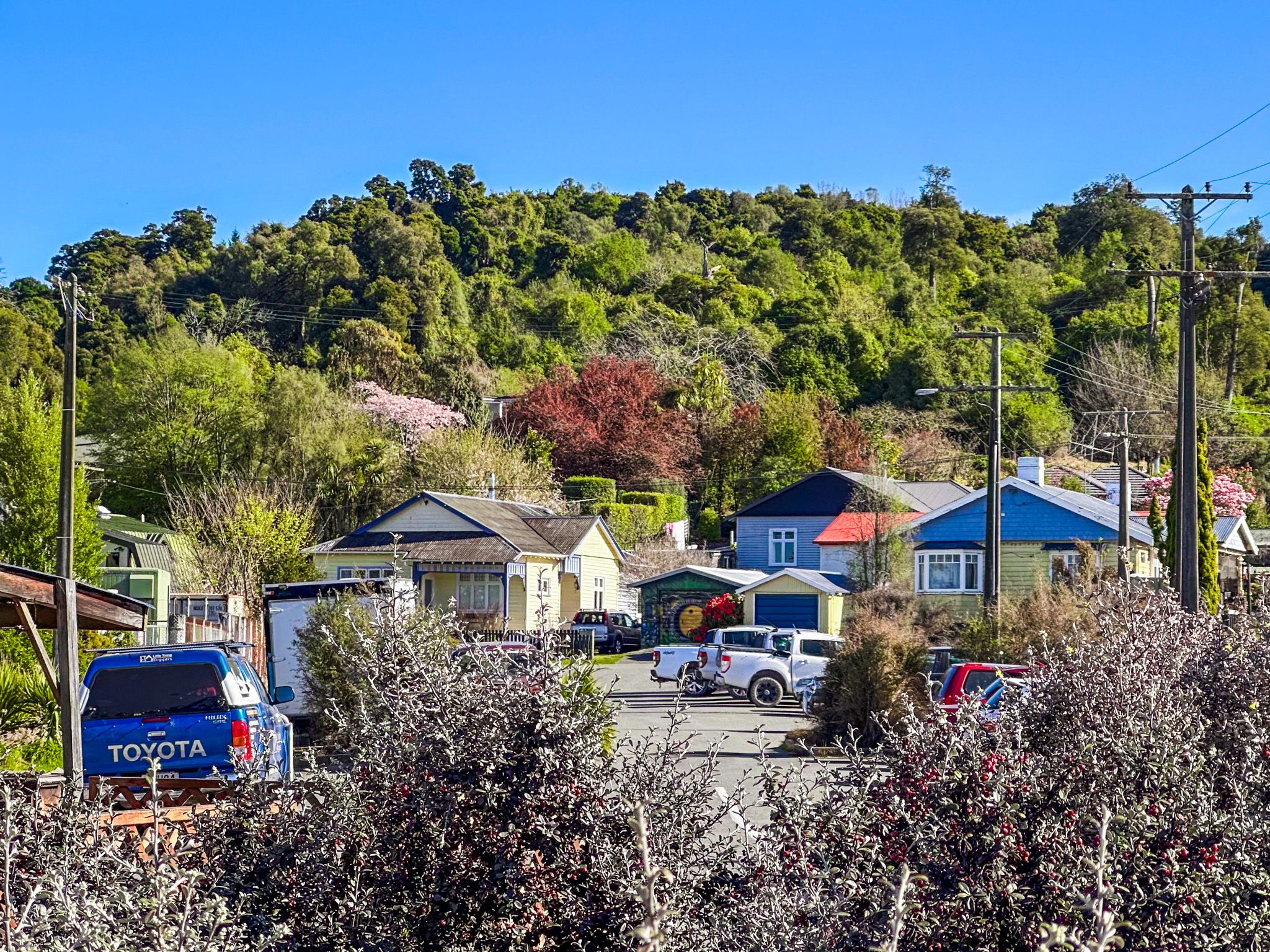
The town of Geraldine (Heratini) in South Canterbury is an attractive stop for travellers due to its convenient location on State Highway 79 between Christchurch and Mackenzie Country. The town location is scenic, on the southeast edge of the Four Peaks Range, which marks the southern end of the Canterbury Plain. The Orari and Hae Hae Te Moana Rivers are on the east and west sides of the town, with the Waihi River running through the middle.
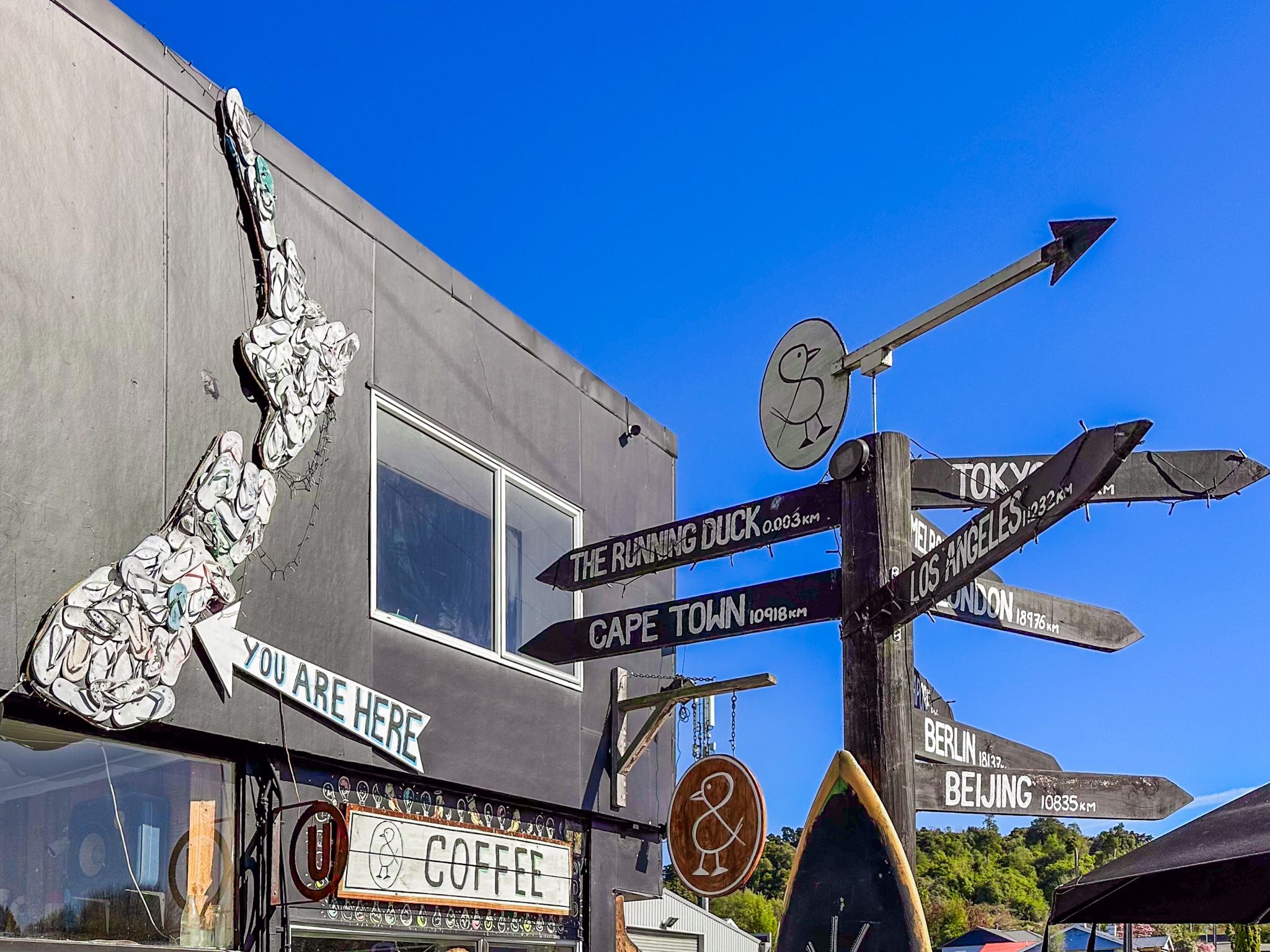
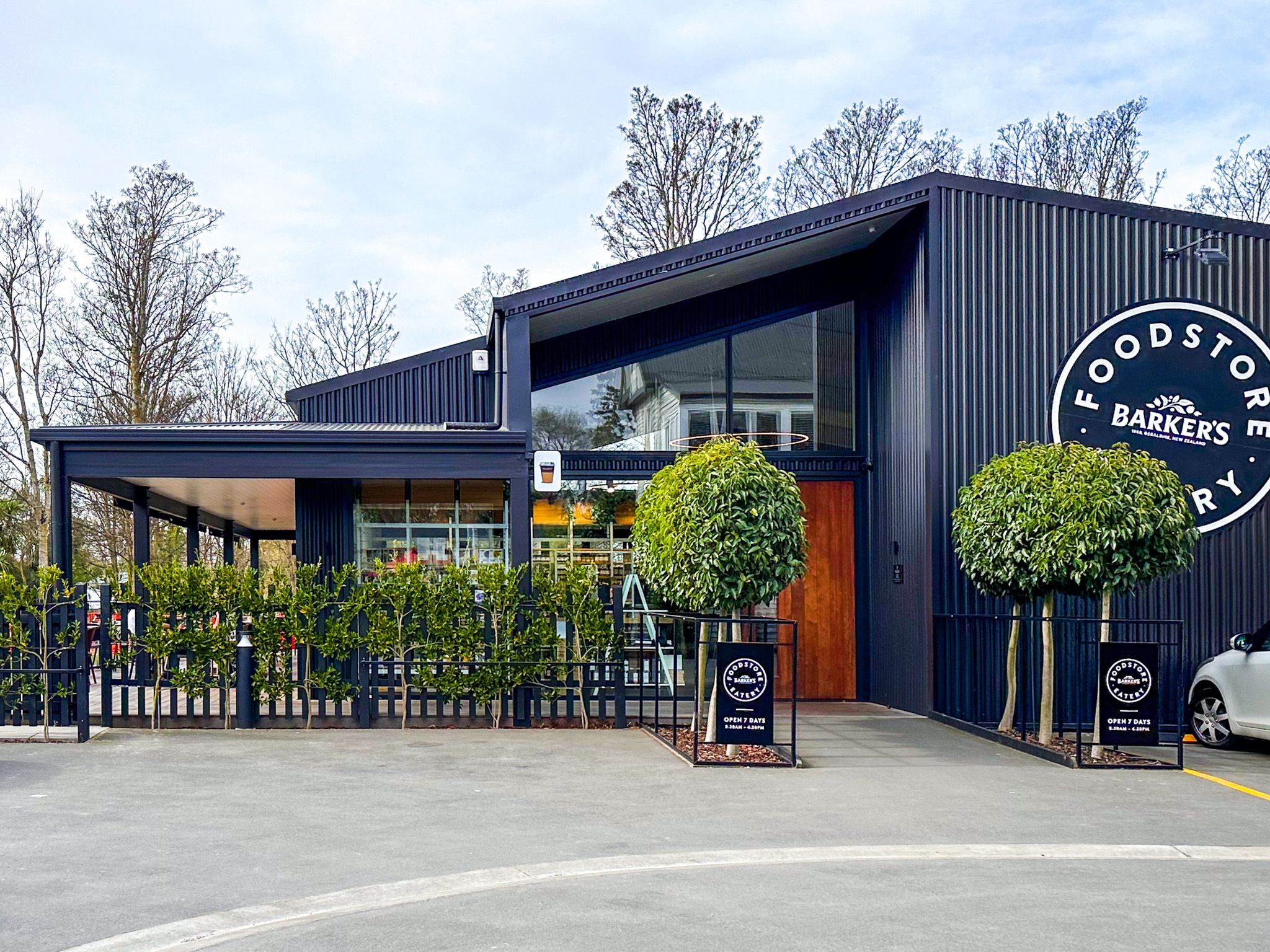
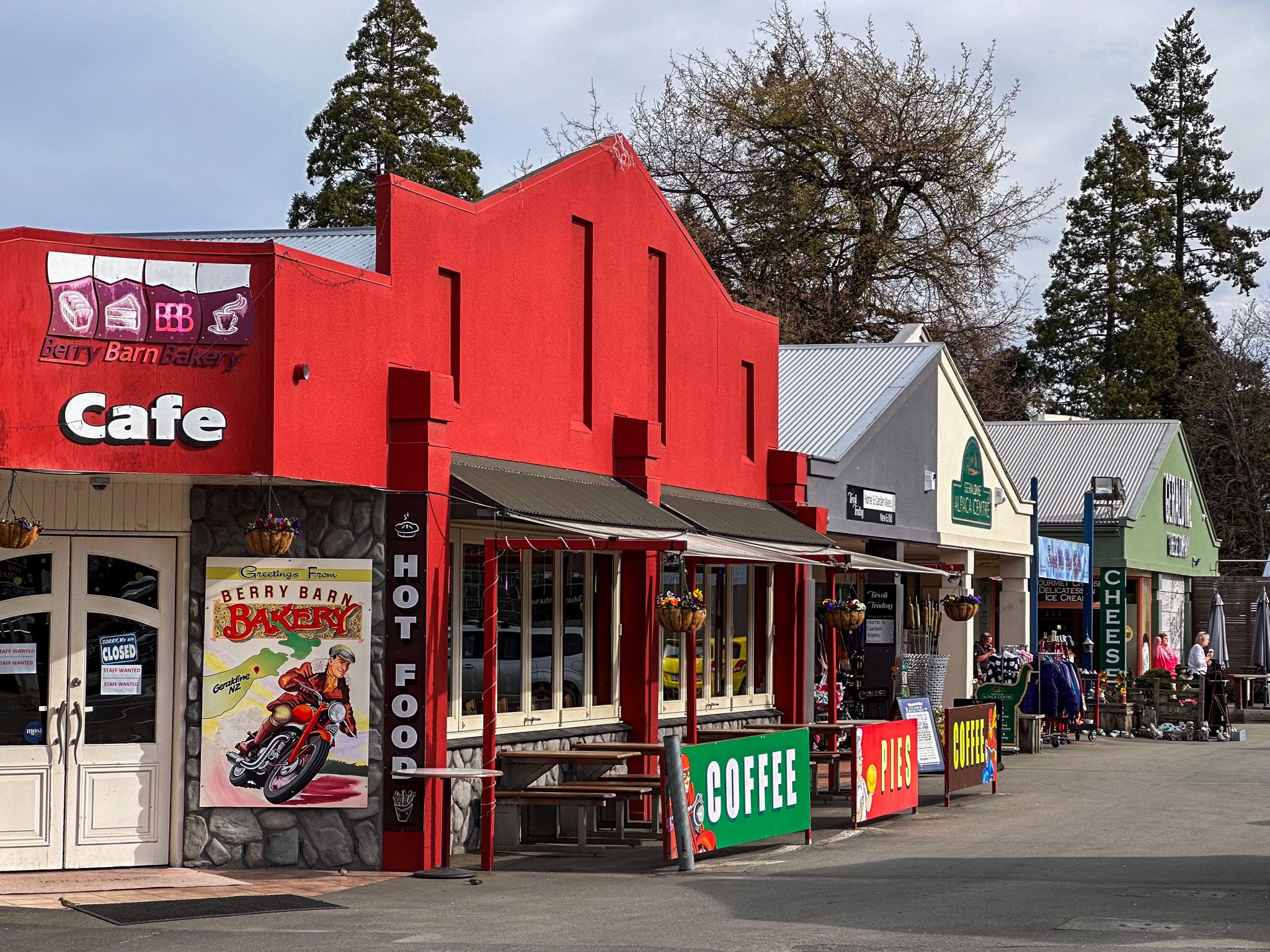
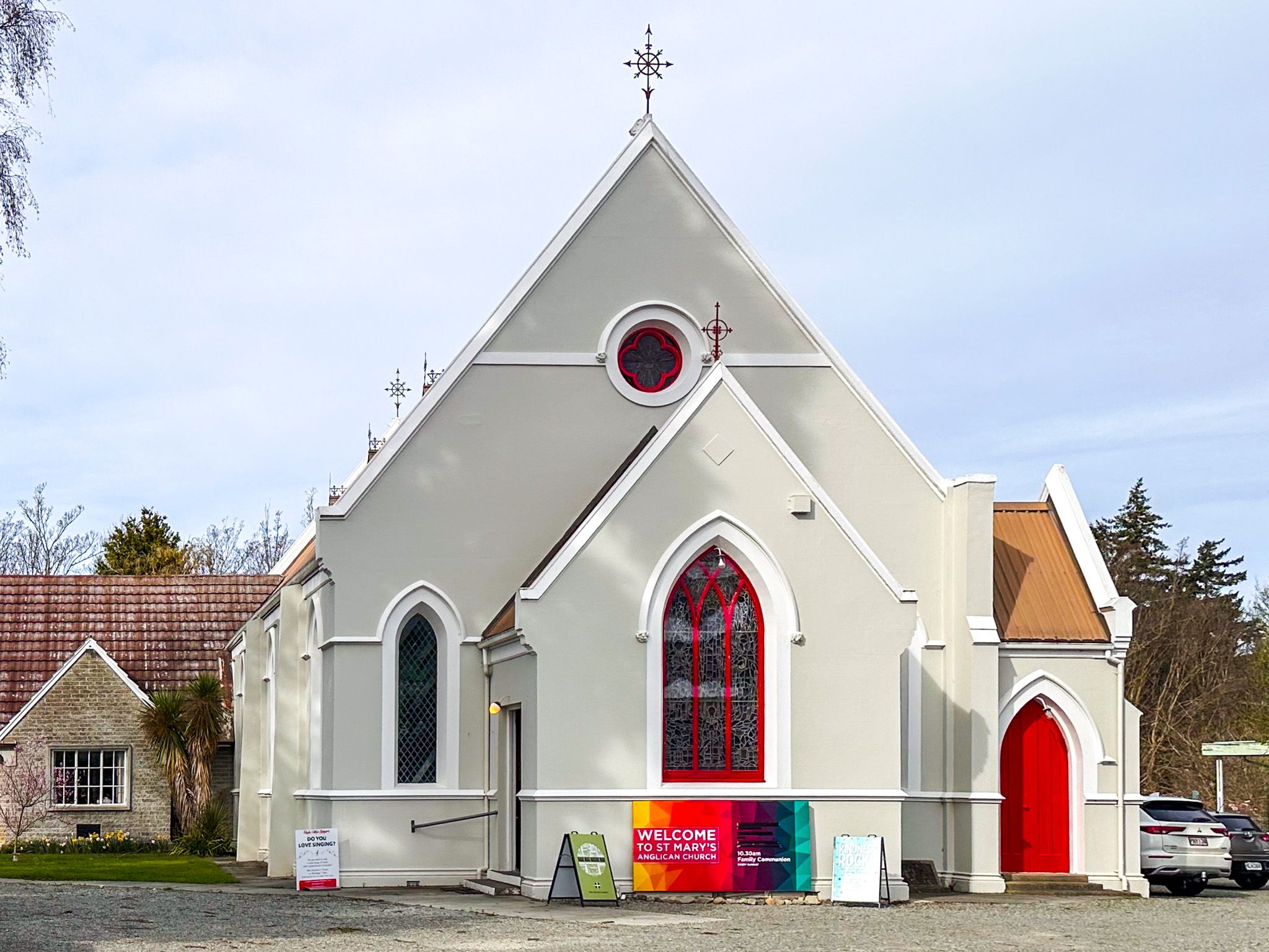
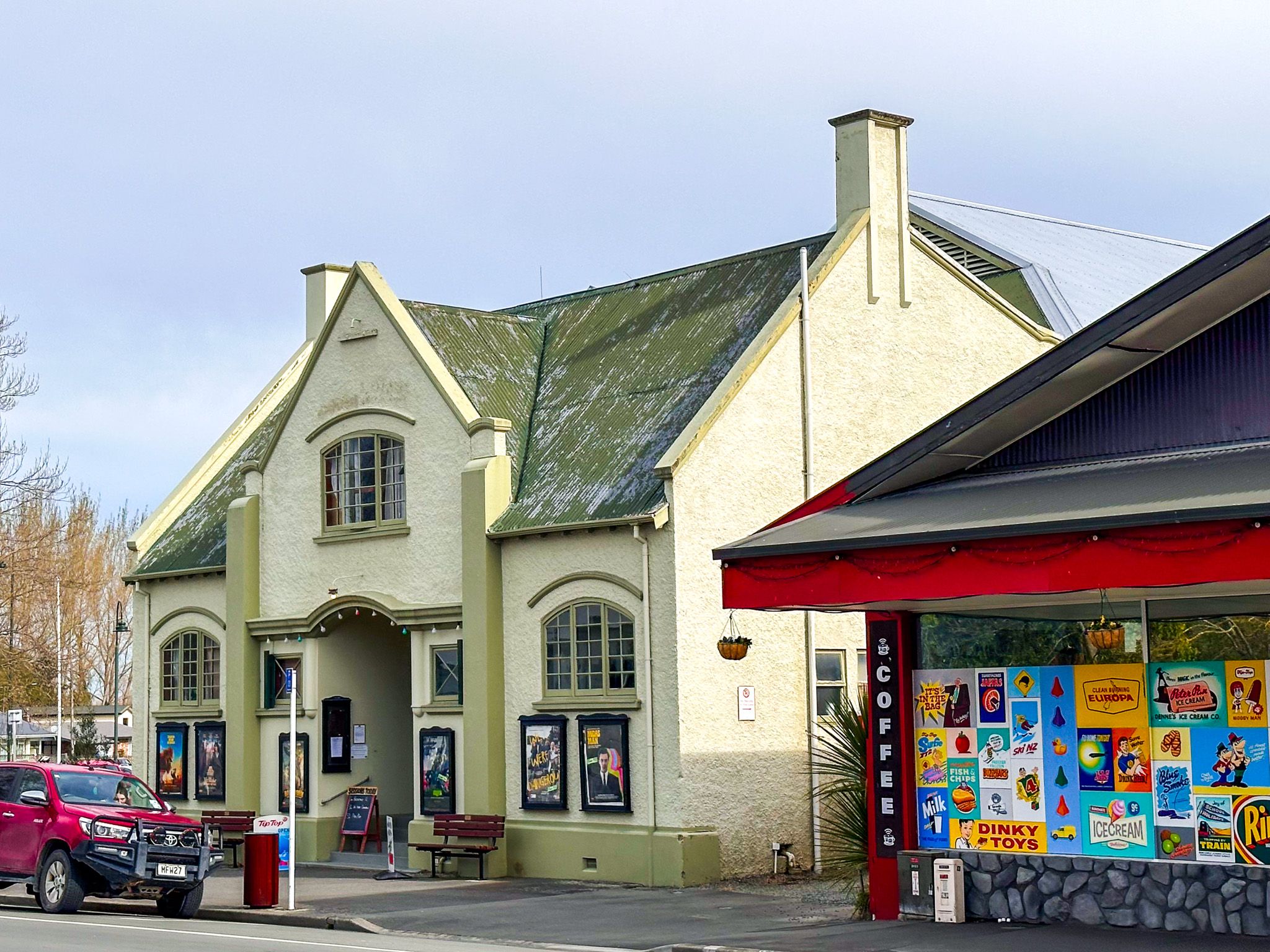
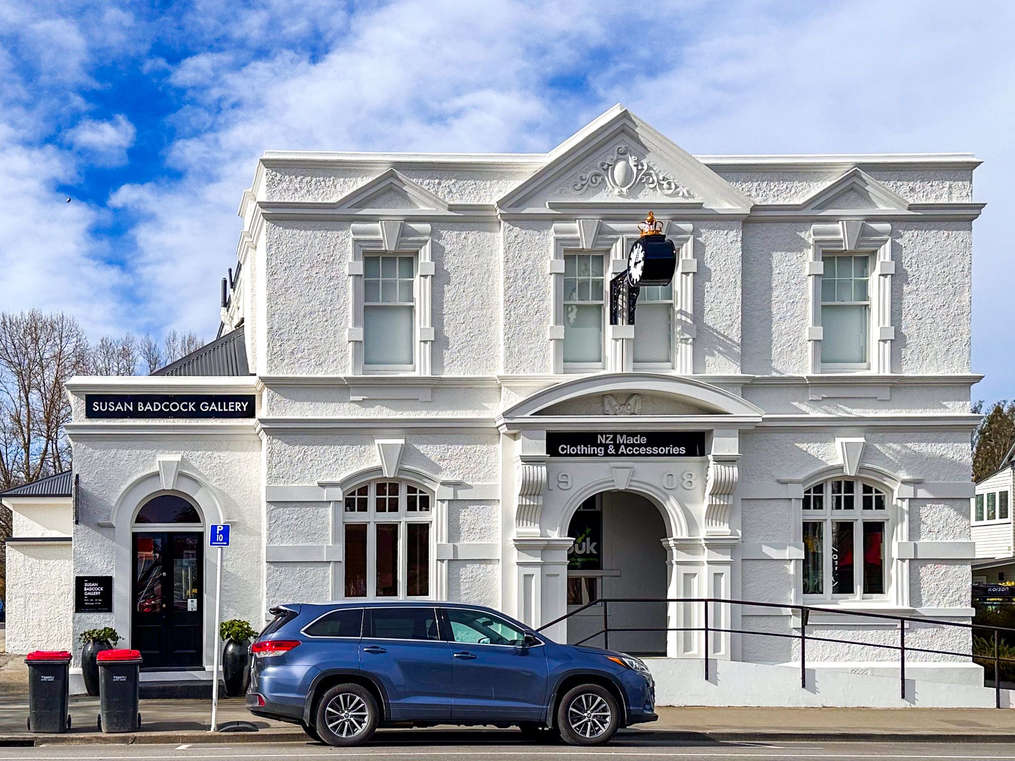
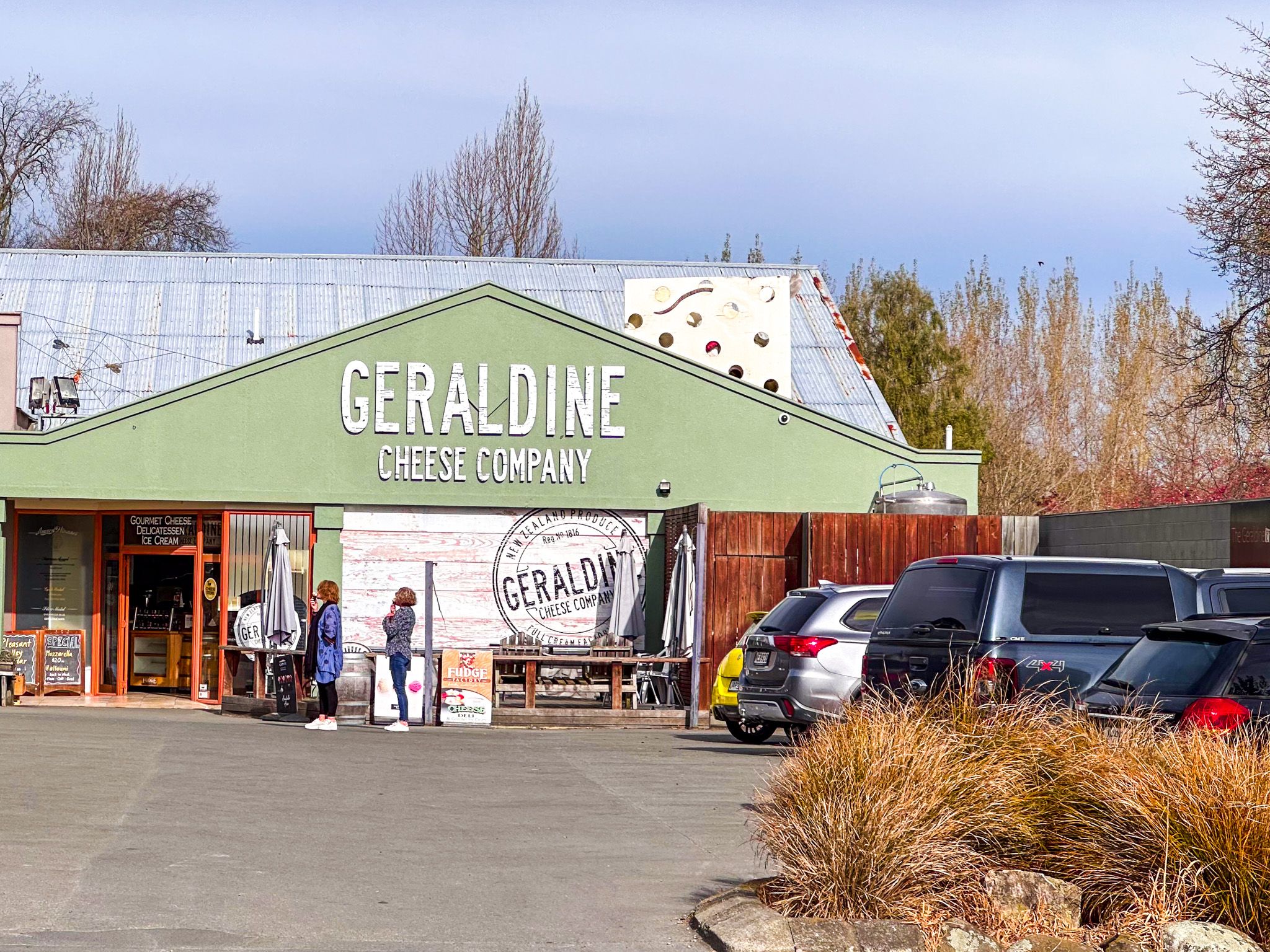
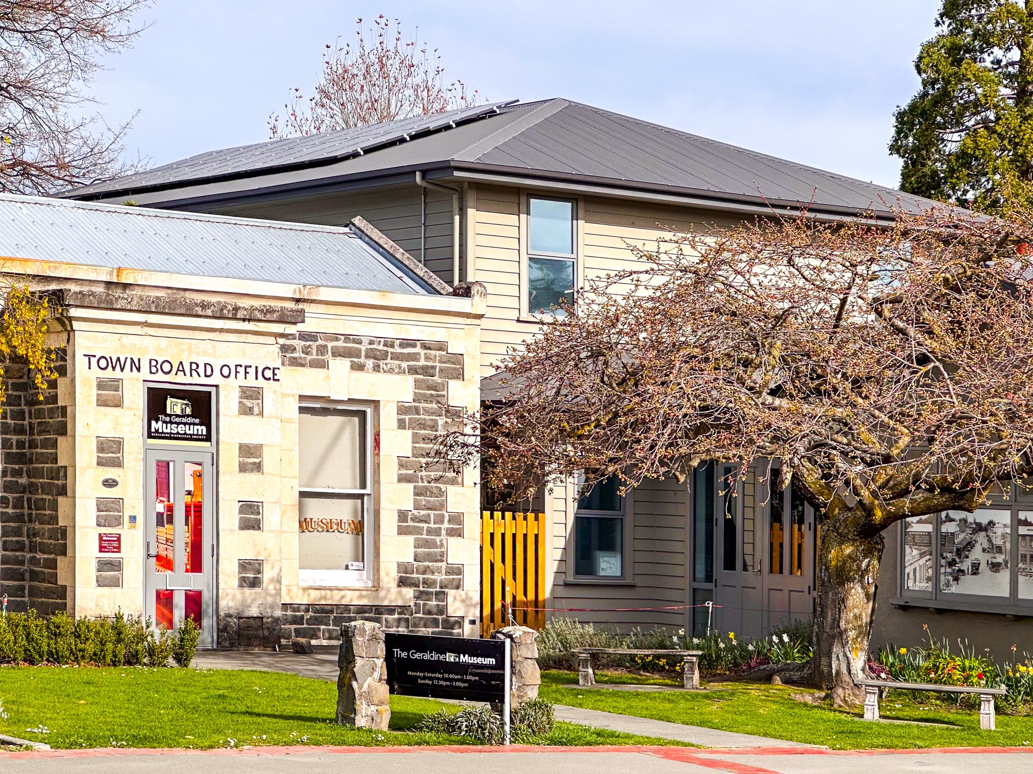
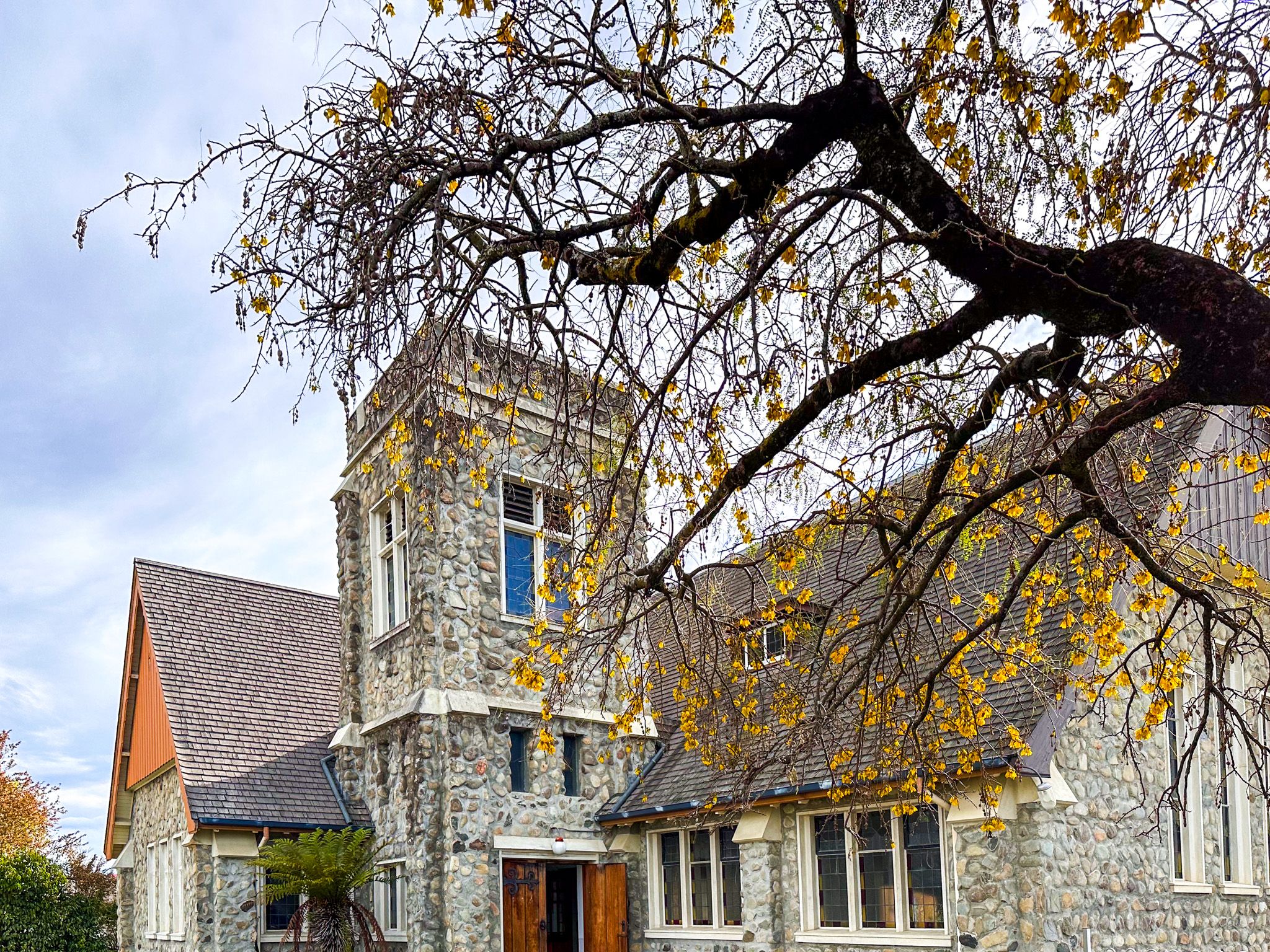
Over the years, the town has morphed from being mainly a farm service town with a cafe stop for long-distance buses into one focused on food, benefitting from the increasing flow of tourists. The Barkers Food Store and Eatery, which sells a wide range of local Barker Farm products, is a particular highlight. You can also buy local Talbot cheese, and the Running Duck Cafe is a funky delight. The town has several attractive historical buildings, military and local history museums, and interesting boutique shops.
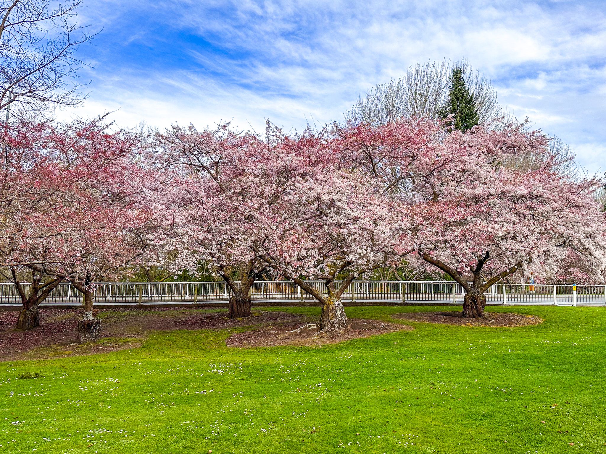
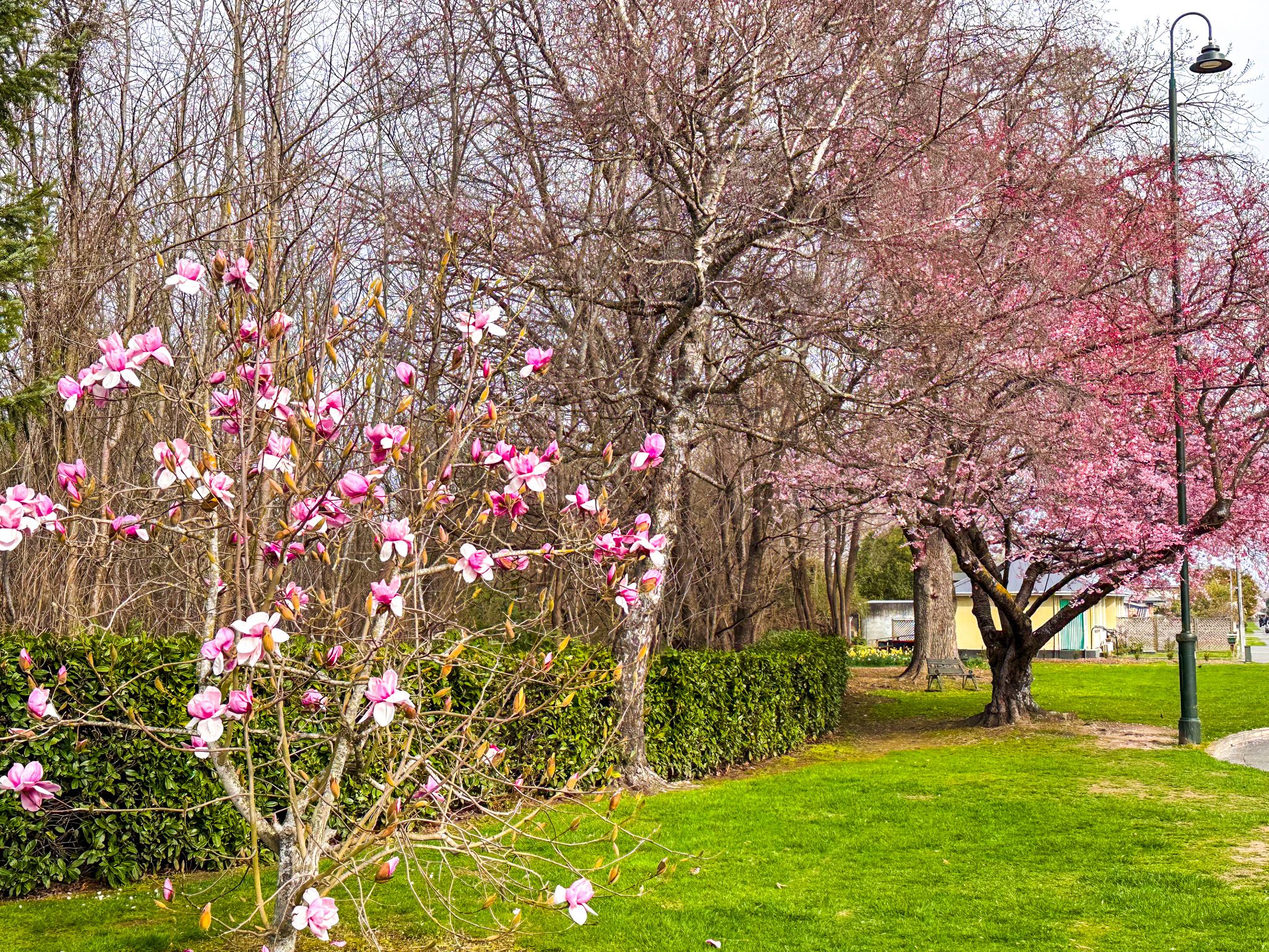
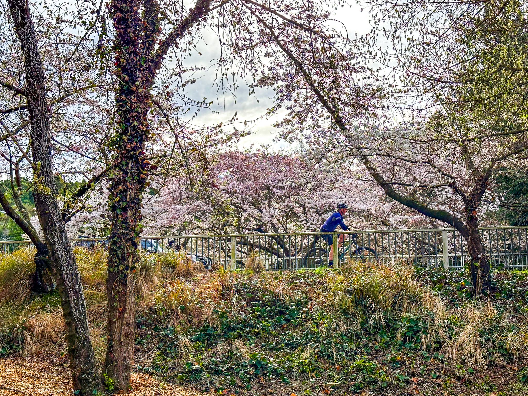
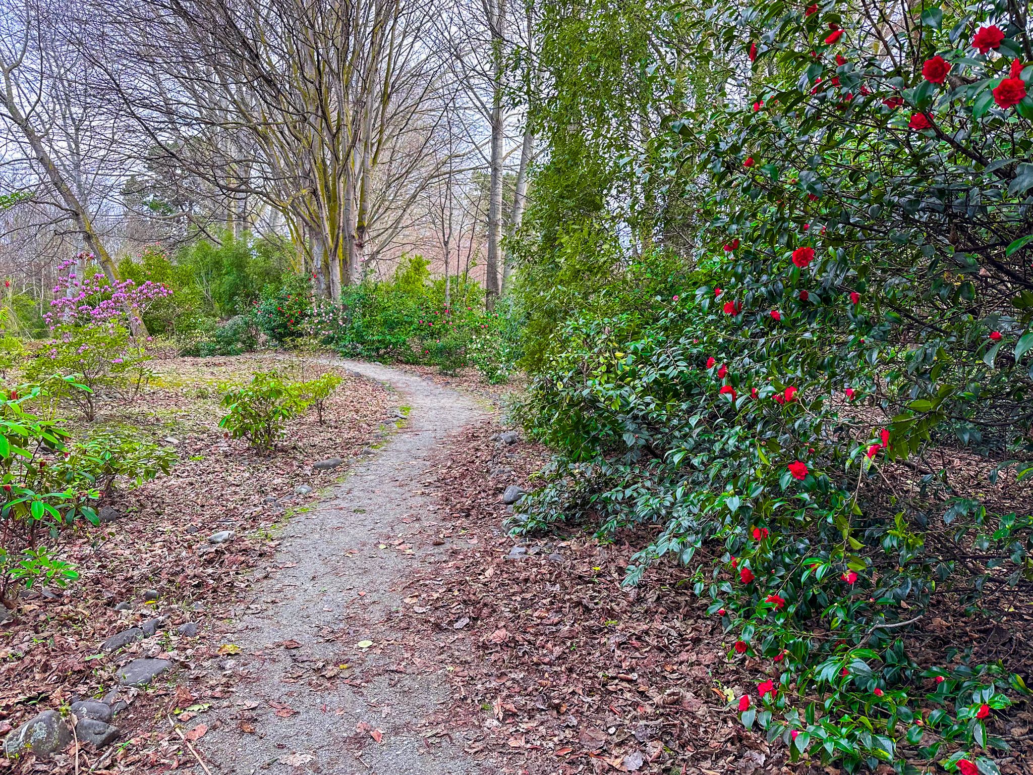
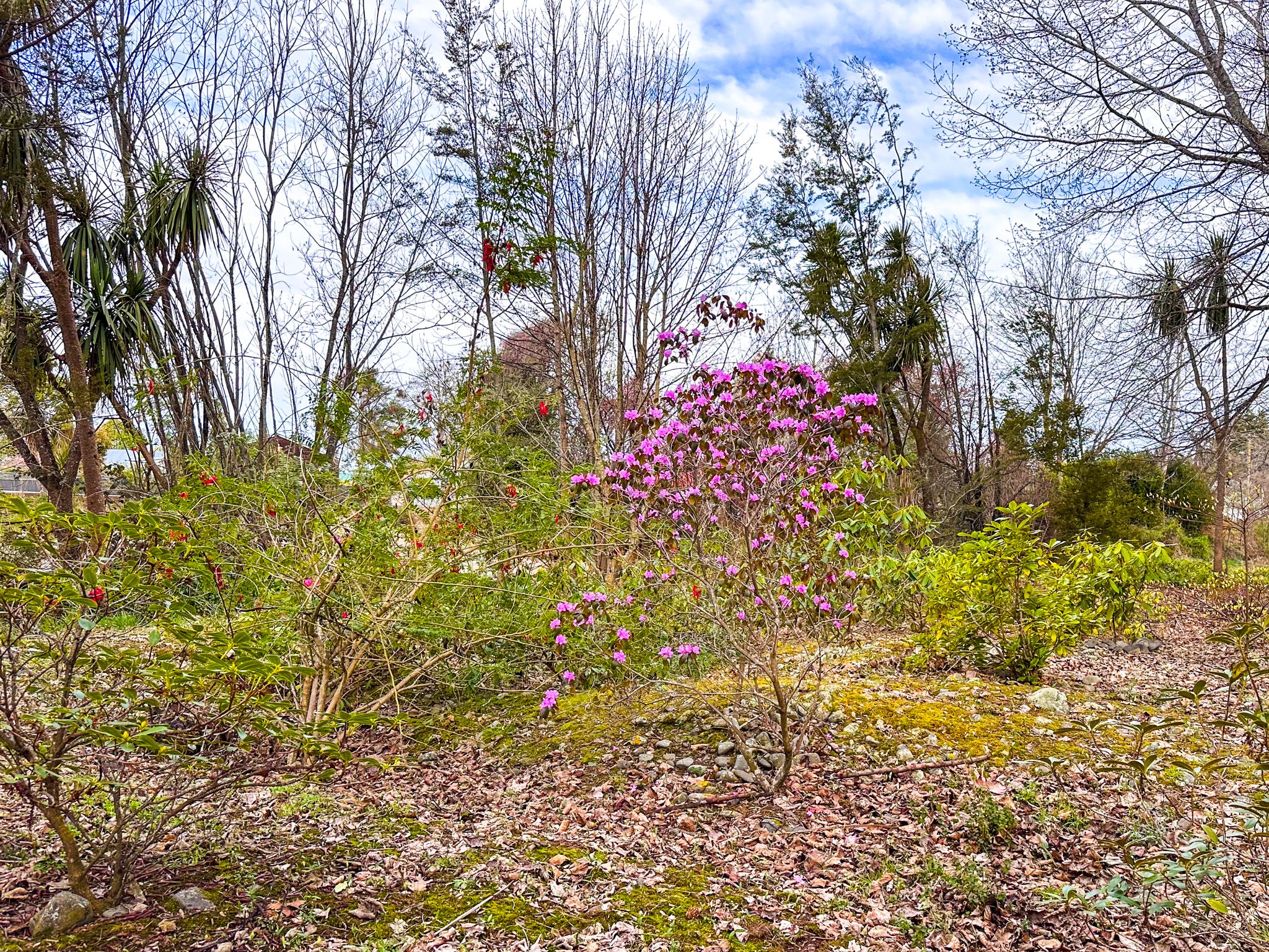
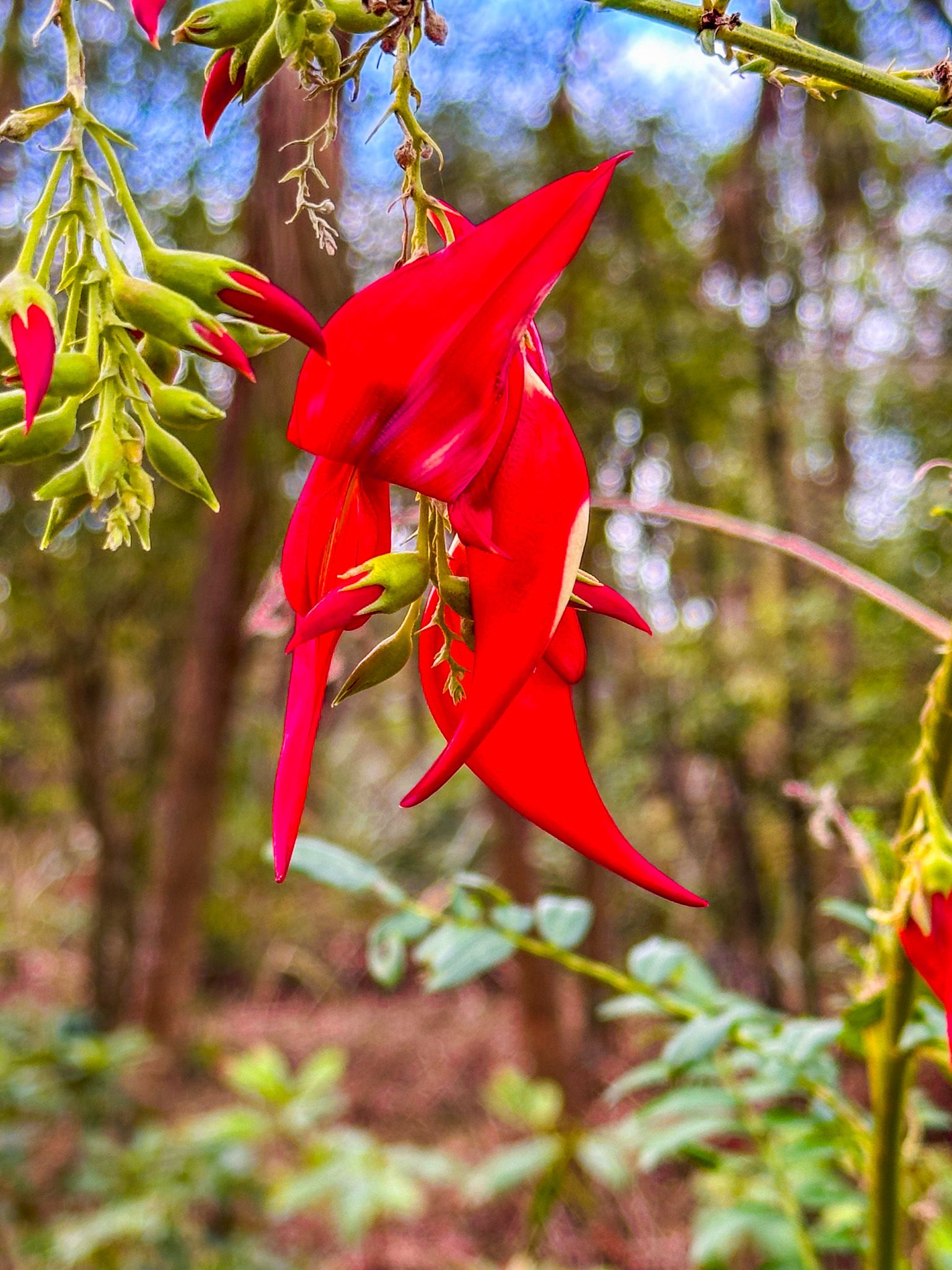
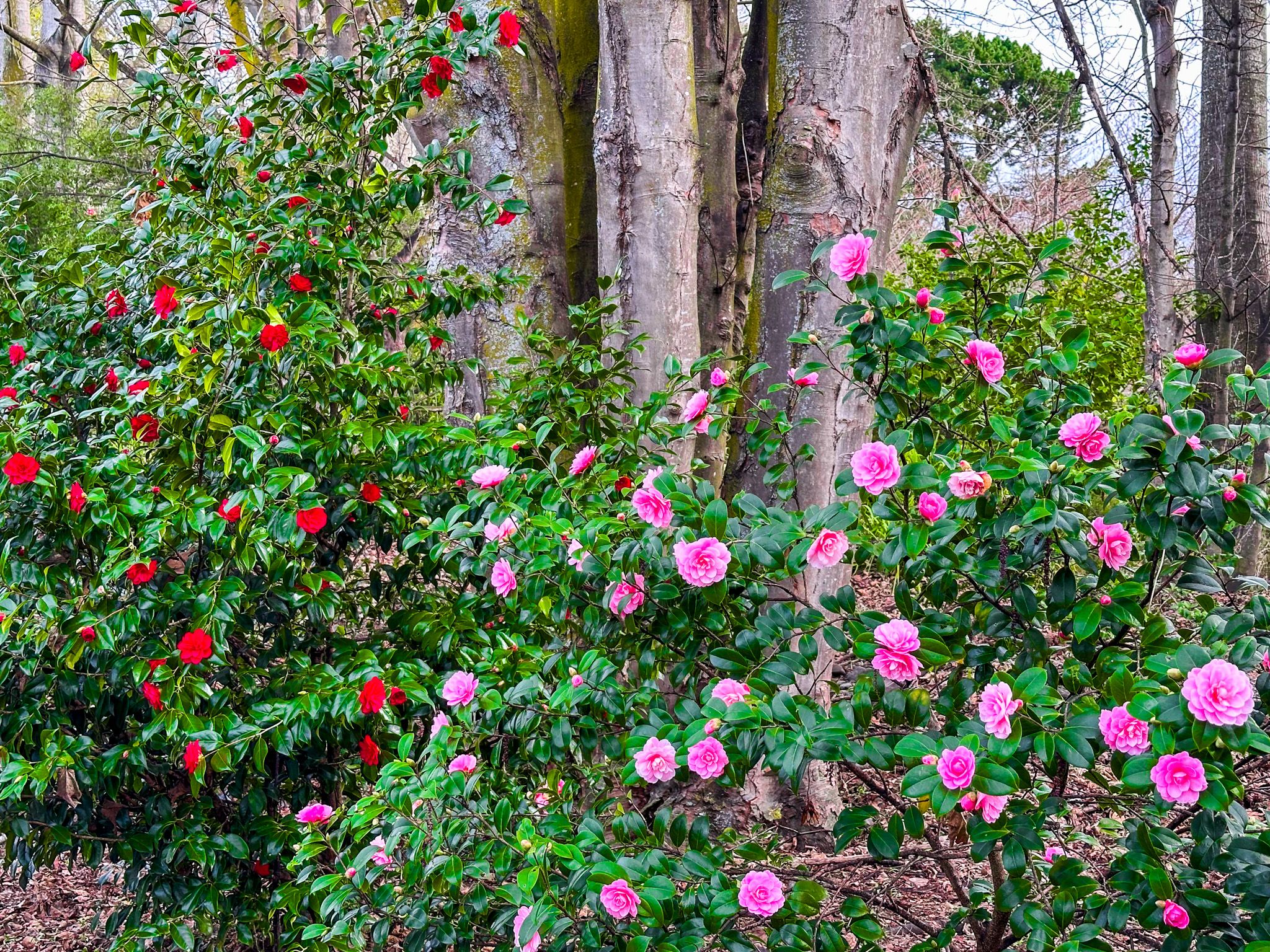
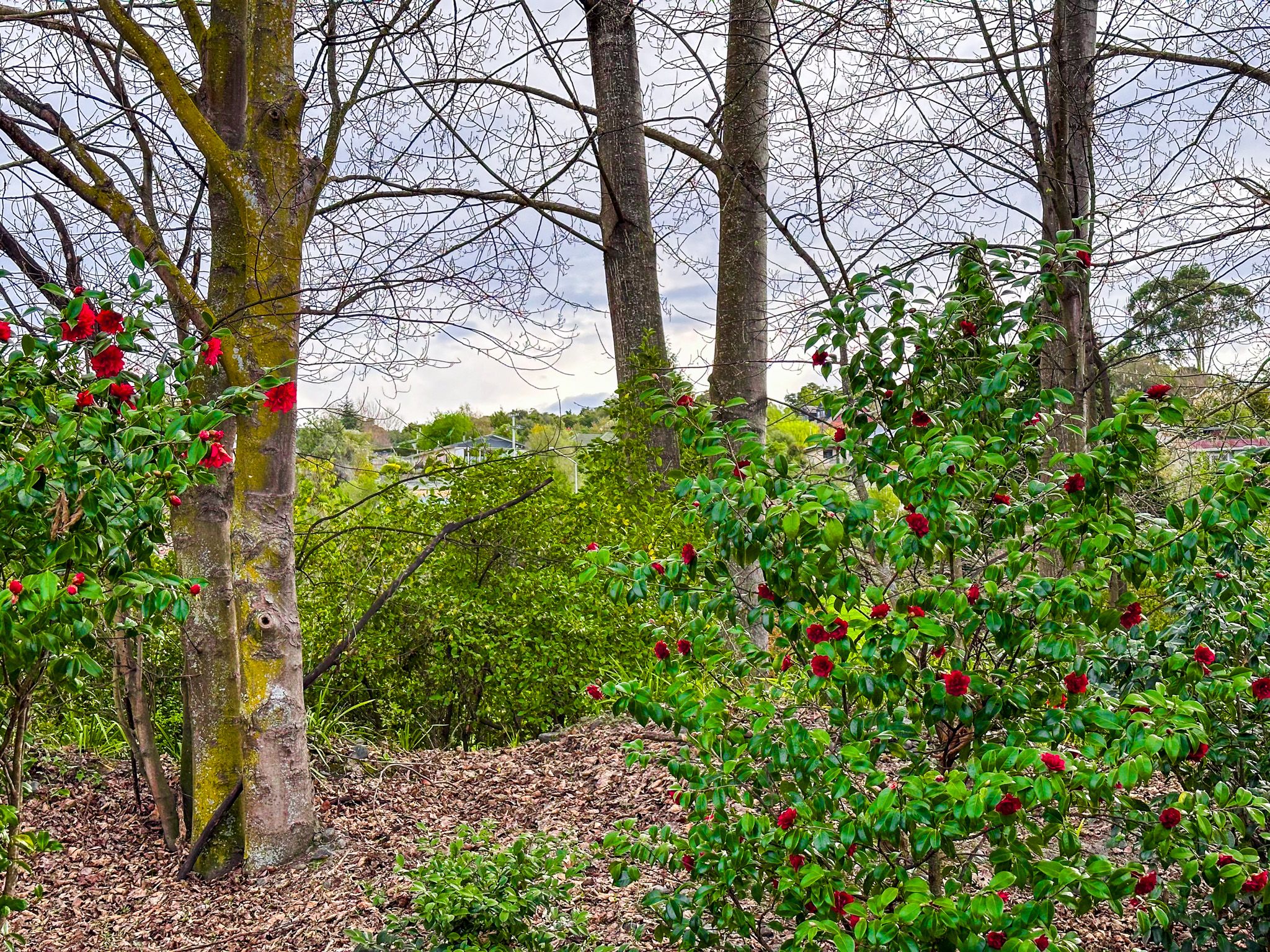
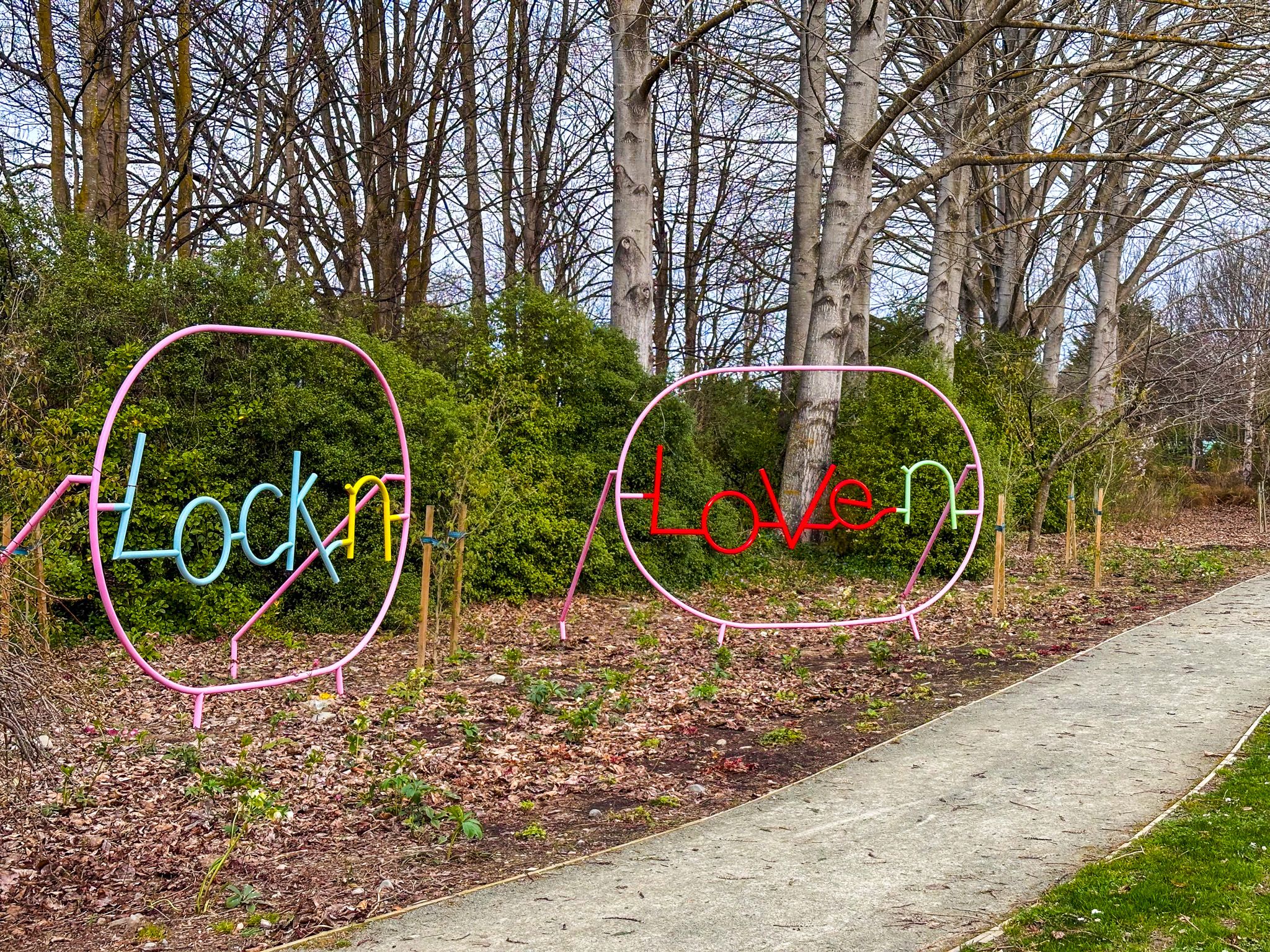
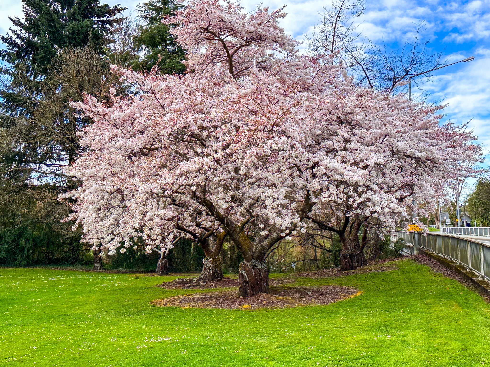
Geraldine is also close to several outdoor attractions, including Peel Forest, access to Ashburton Lakes, and the Orari and Waihi Gorges, which offer hiking and camping opportunities. Within the town is a pleasant short garden walk along the Waihi River, adding a loop for a walk down the main street. The native forest Talbot Forest, just a few minutes walk from the town centre, is also a rare remnant of a Canterbury lowland native forest. Spring is beautiful, with blossom trees, kaka beak, magnolias, camellias, and daffodils around the town and river walk.
Before Europeans arrived and carved out the farms that dominated the region, Māori trekked through the area, with evidence of their presence in nearby Beautiful Valley, Gapes Valley, and Kakahu. In 1848, the region was included in the Canterbury Purchase, also known as Kemp's Deed, in which the Crown purchased over 5.2 million hectares from Ngāi Tahu. Europeans were soon interested in farming the region and milling the few stands of ancient native trees around the foothills of the Canterbury Plain. In 1854, Thomas Cass, the Chief Surveyor for Canterbury, and Guise Brittan, the Commissioner for Crown Lands, proposed a town next to a native forest, both initially named Talbot Forest. The town was renamed Fitzgerald in honour of James FitzGerald, the first Superintendent of the Canterbury Province, in 1857. But this was quickly changed to Geraldine, the Fitzgerald family name in their homeland of Ireland.
Samuel Hewlings, the government's surveyor, was the first resident and constructed a basic bark hut where the police station is today. A tōtara tree, planted to commemorate the birth of his daughter to his wife, Nga Hei, stands opposite the police station. Initially, the town was tiny, with other small settlements developing nearby, but by the 1860s, the streets had been laid out, and the hamlets were connected. Today, the town has about 3,100 people.
