Mangawhai Walkway is a stunning coastal track from Paepae-o-Tū / Bream Tail in the north to the south end of Mangawhai Heads Beach. It is also a section of Te Araroa as it heads south to Te Ārai and Pākiri Beach.
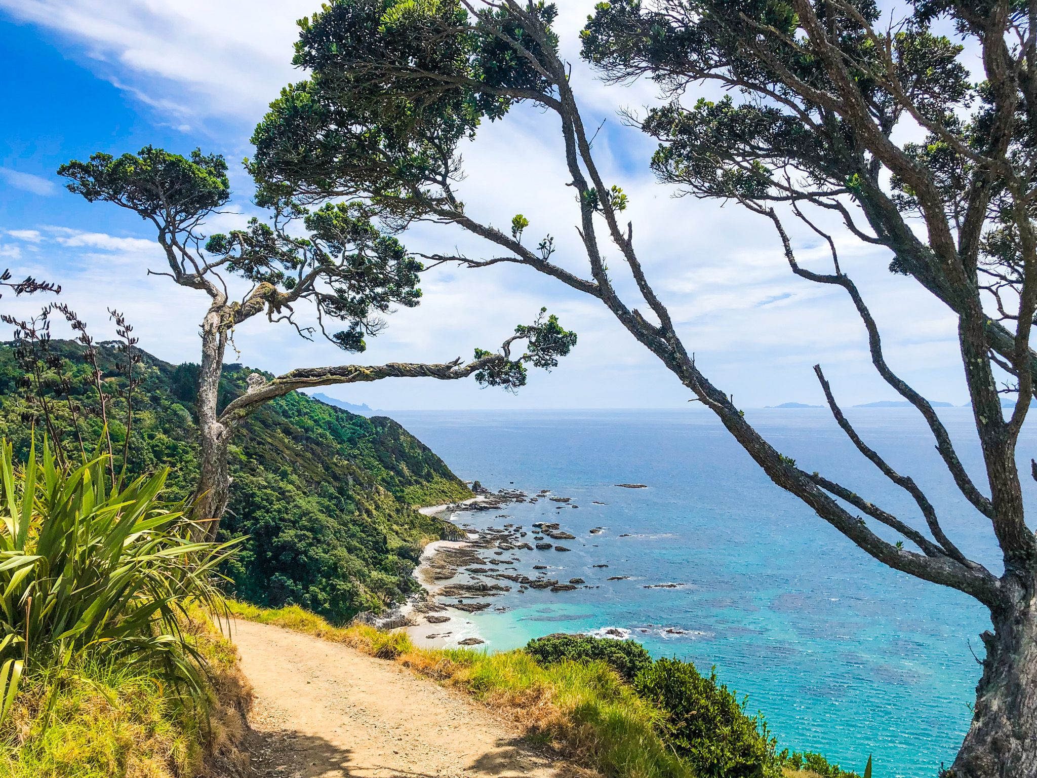
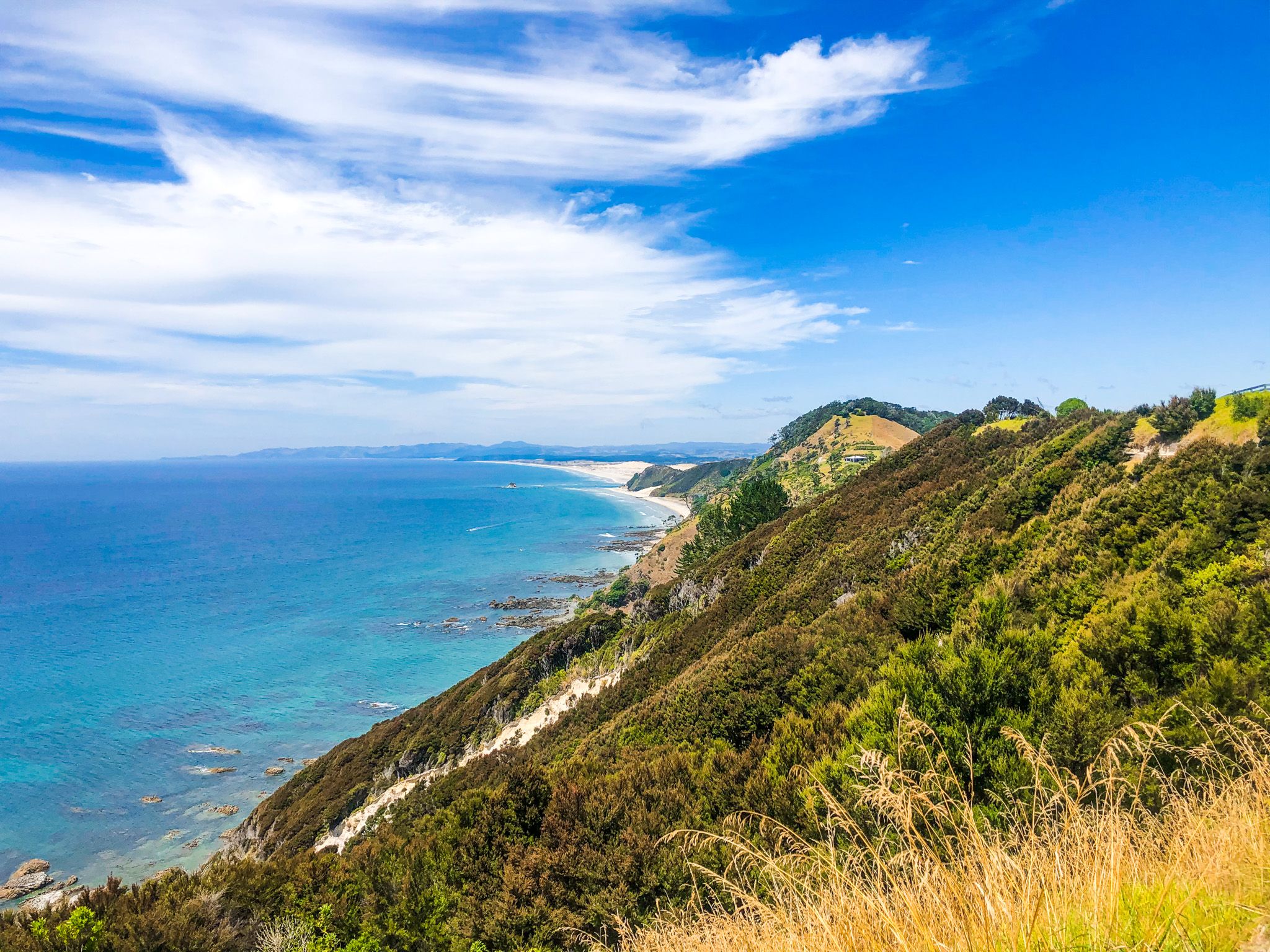
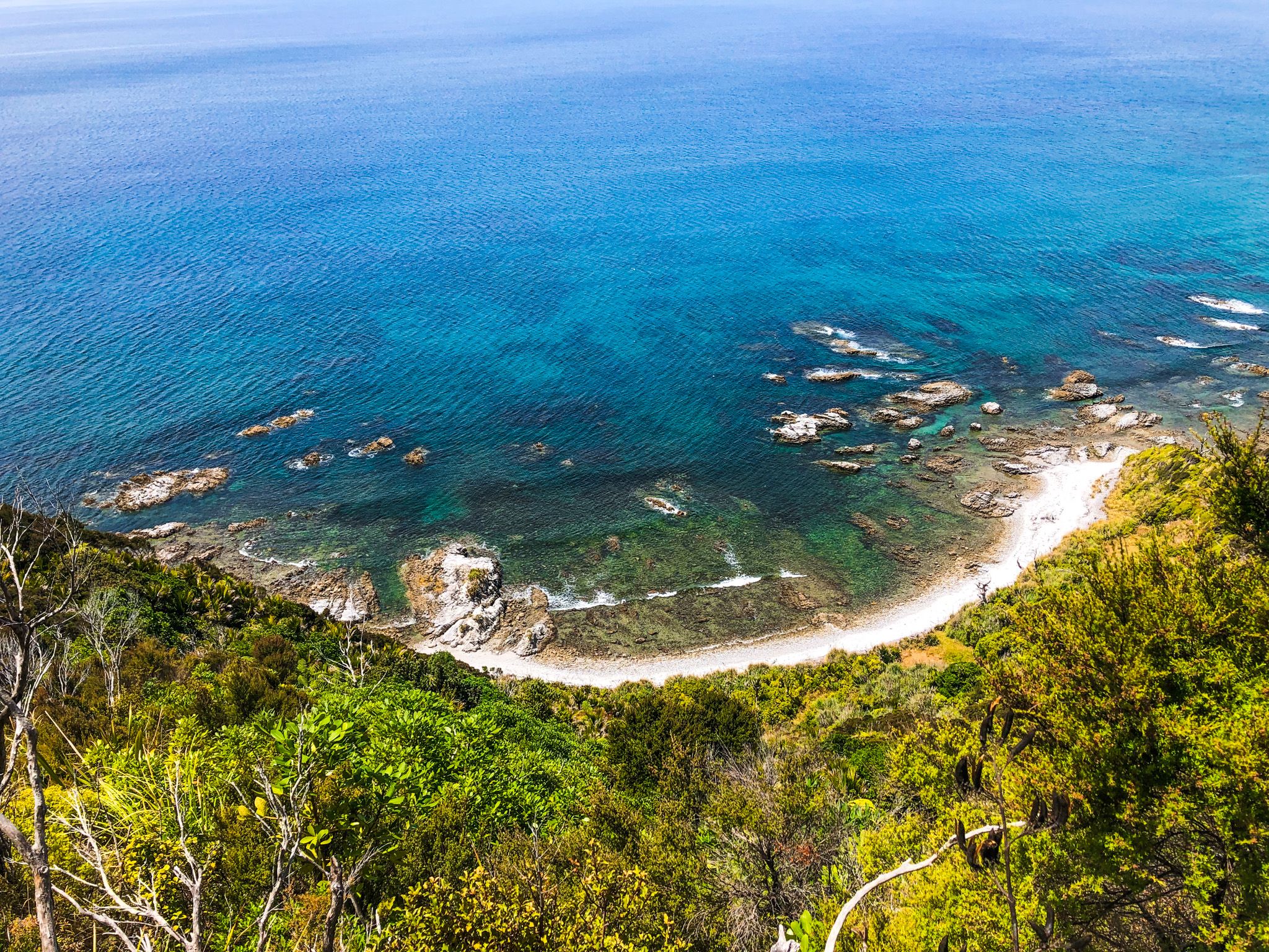
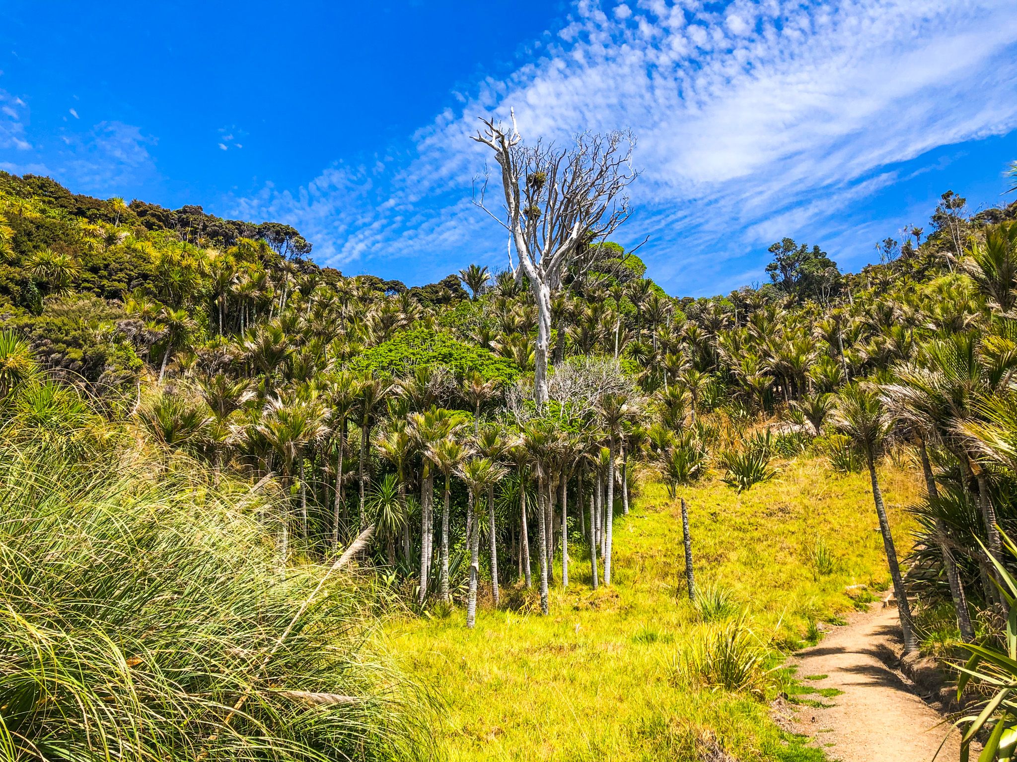
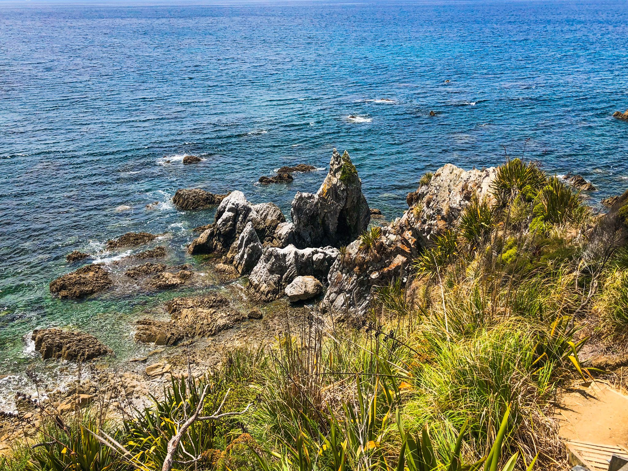
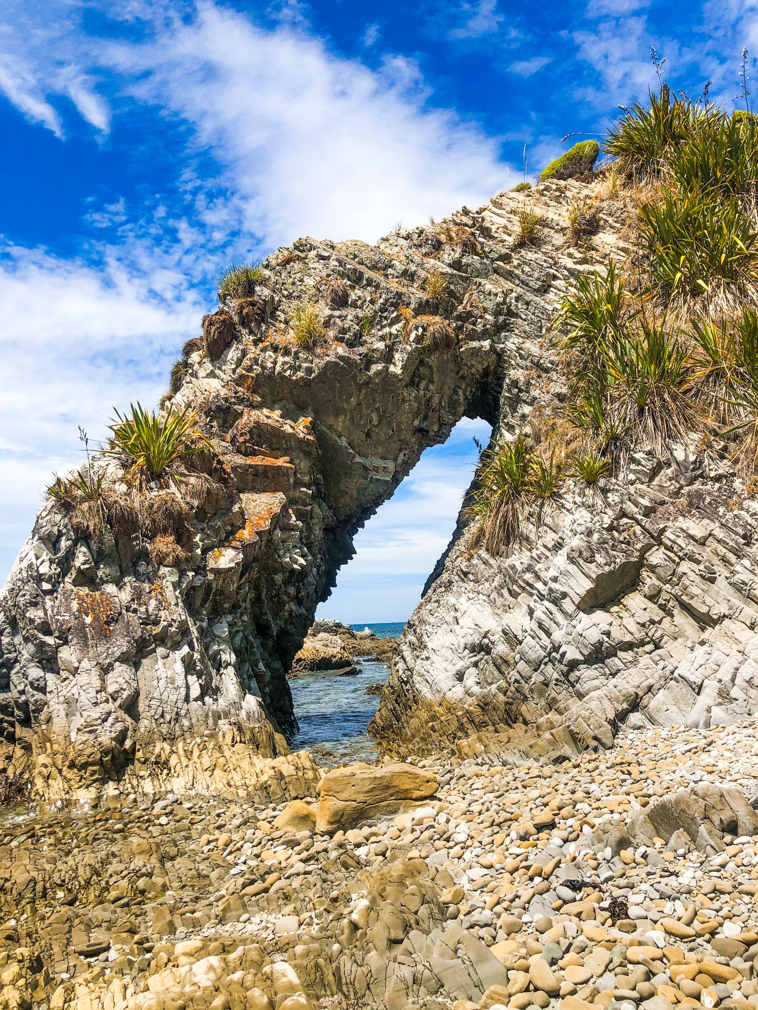
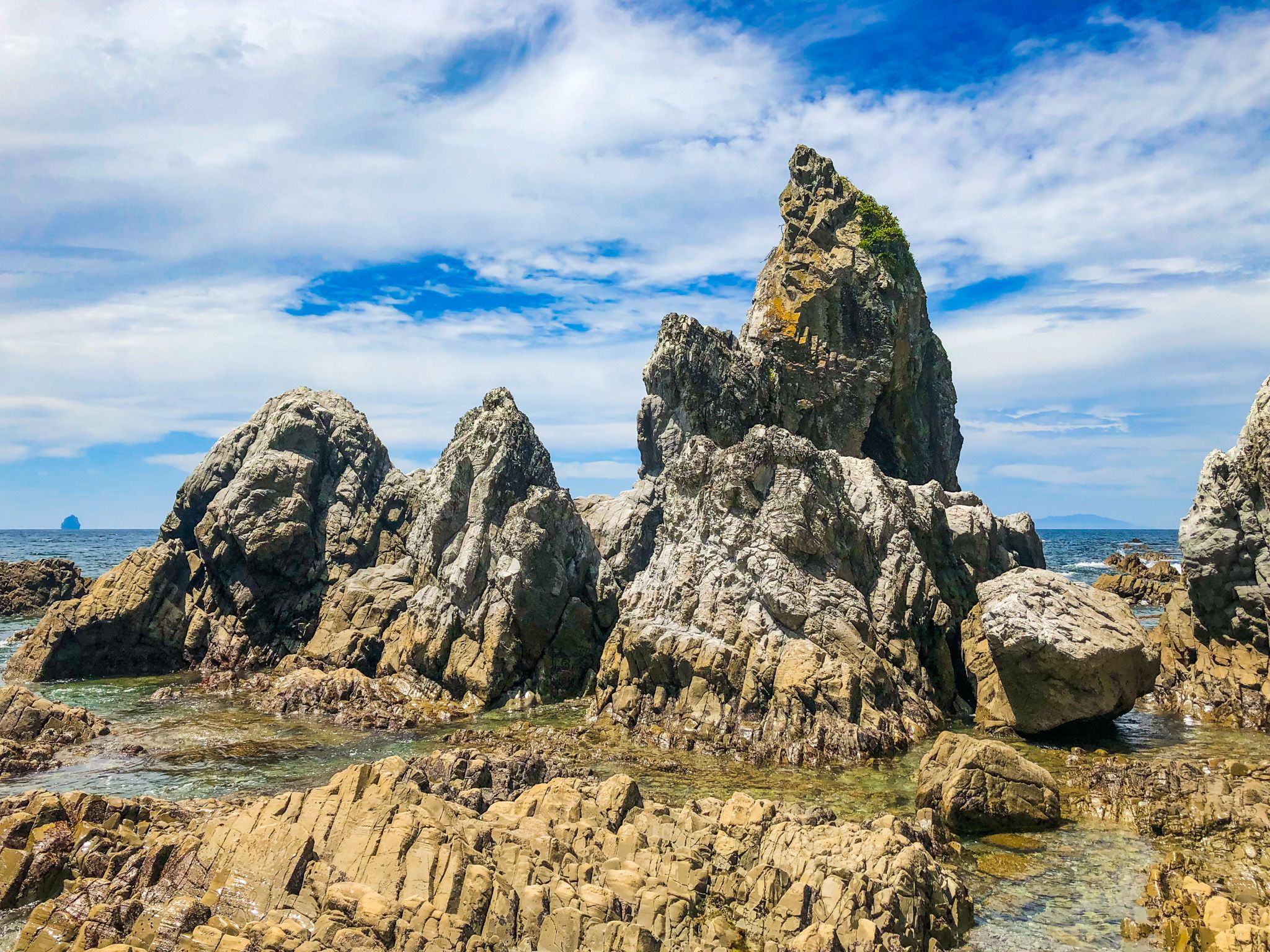
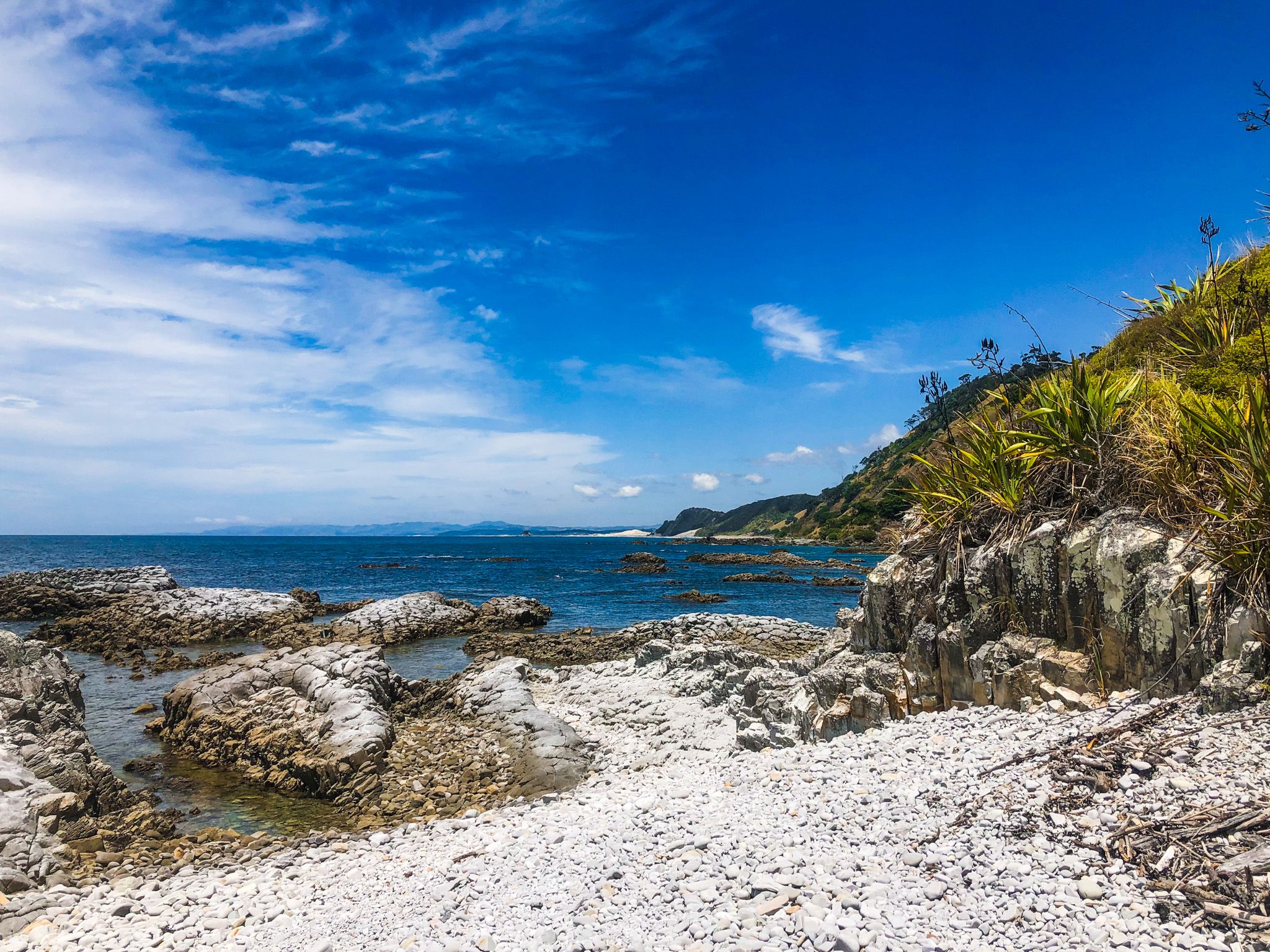
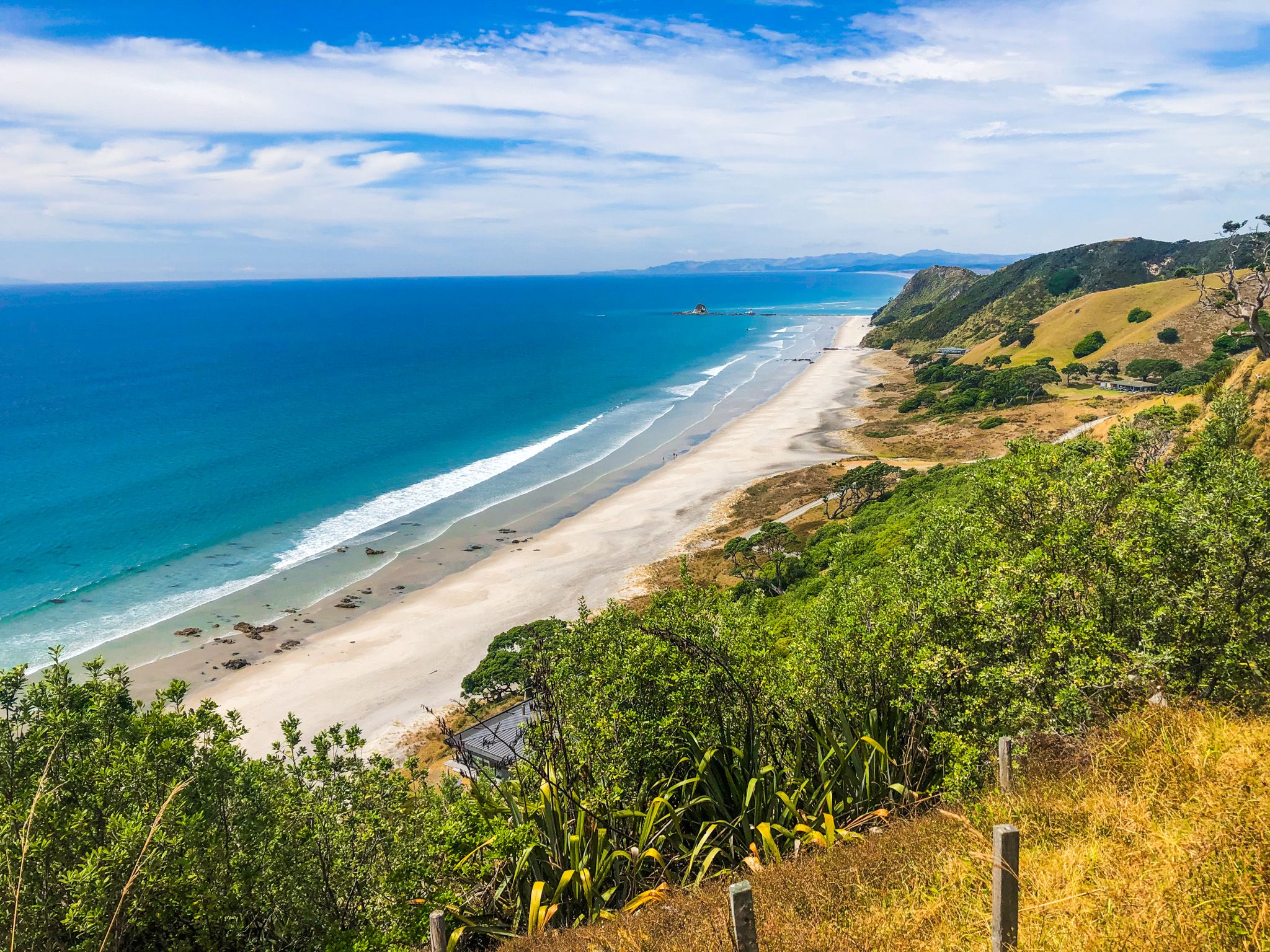
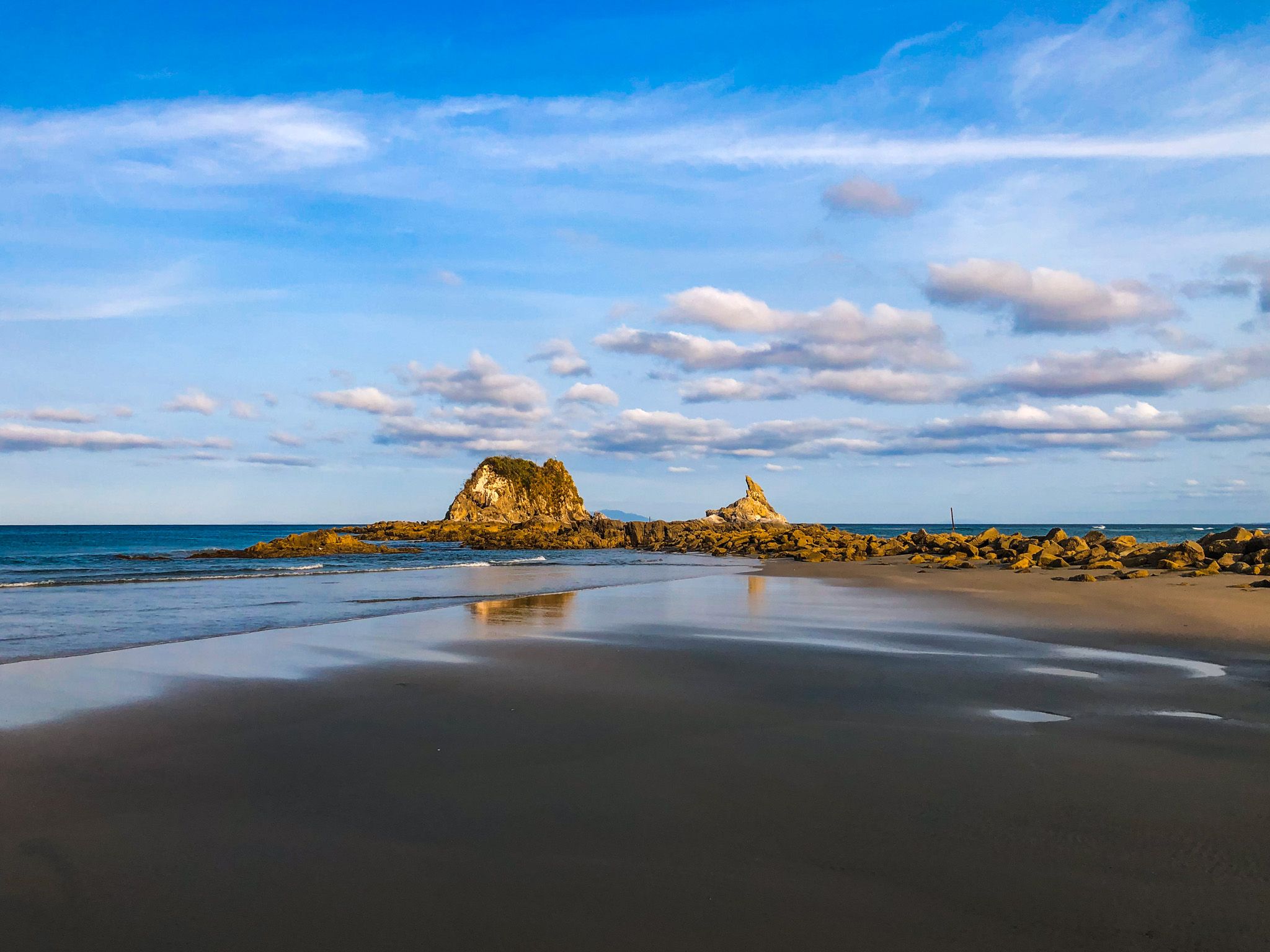
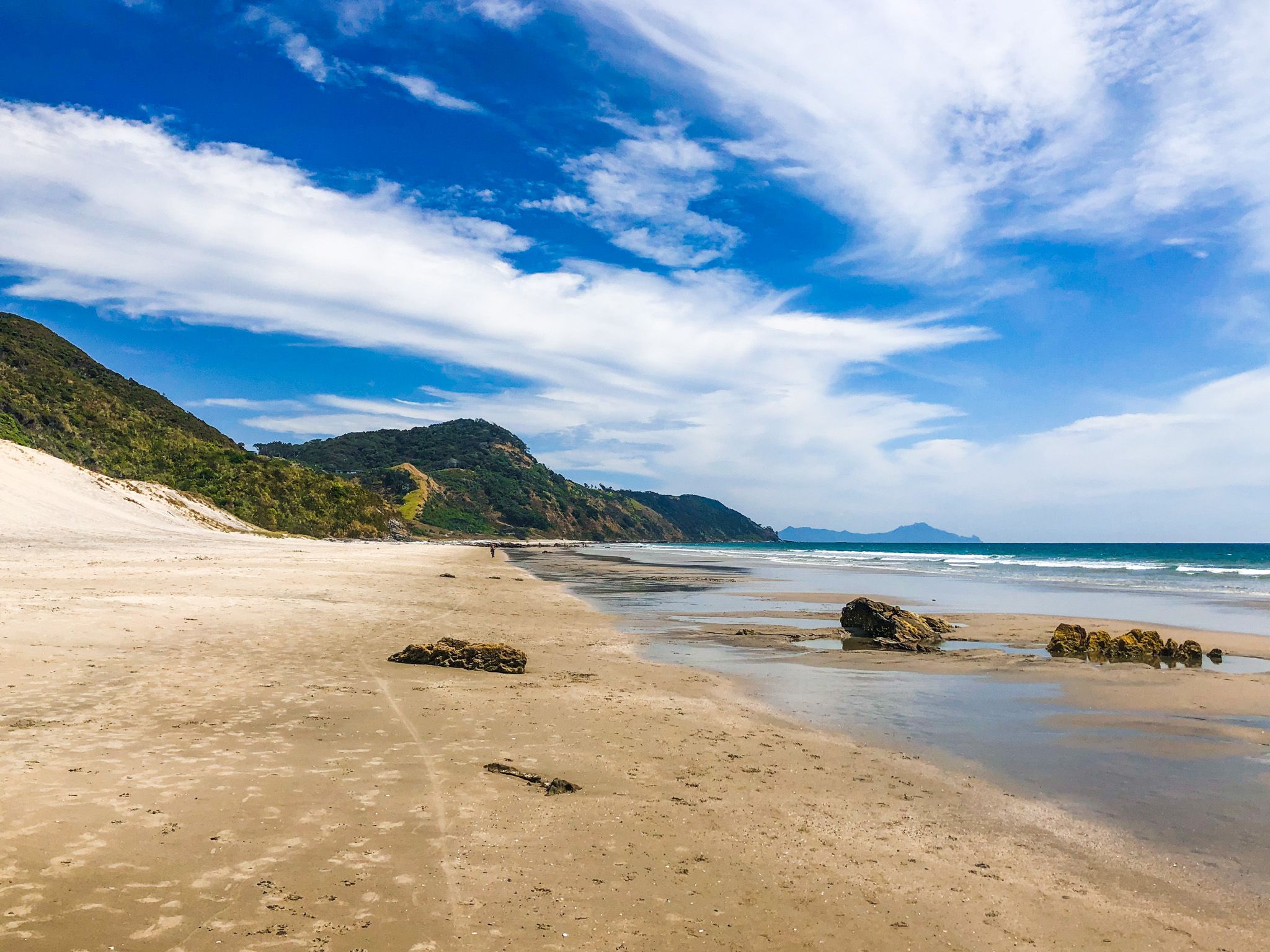
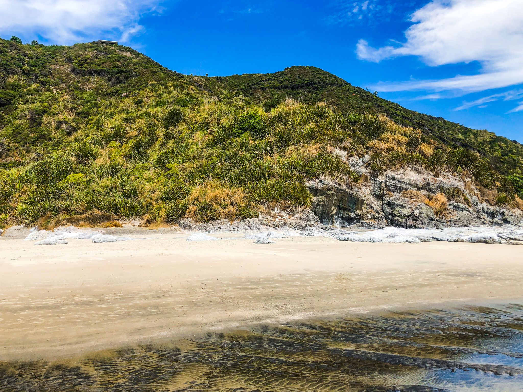
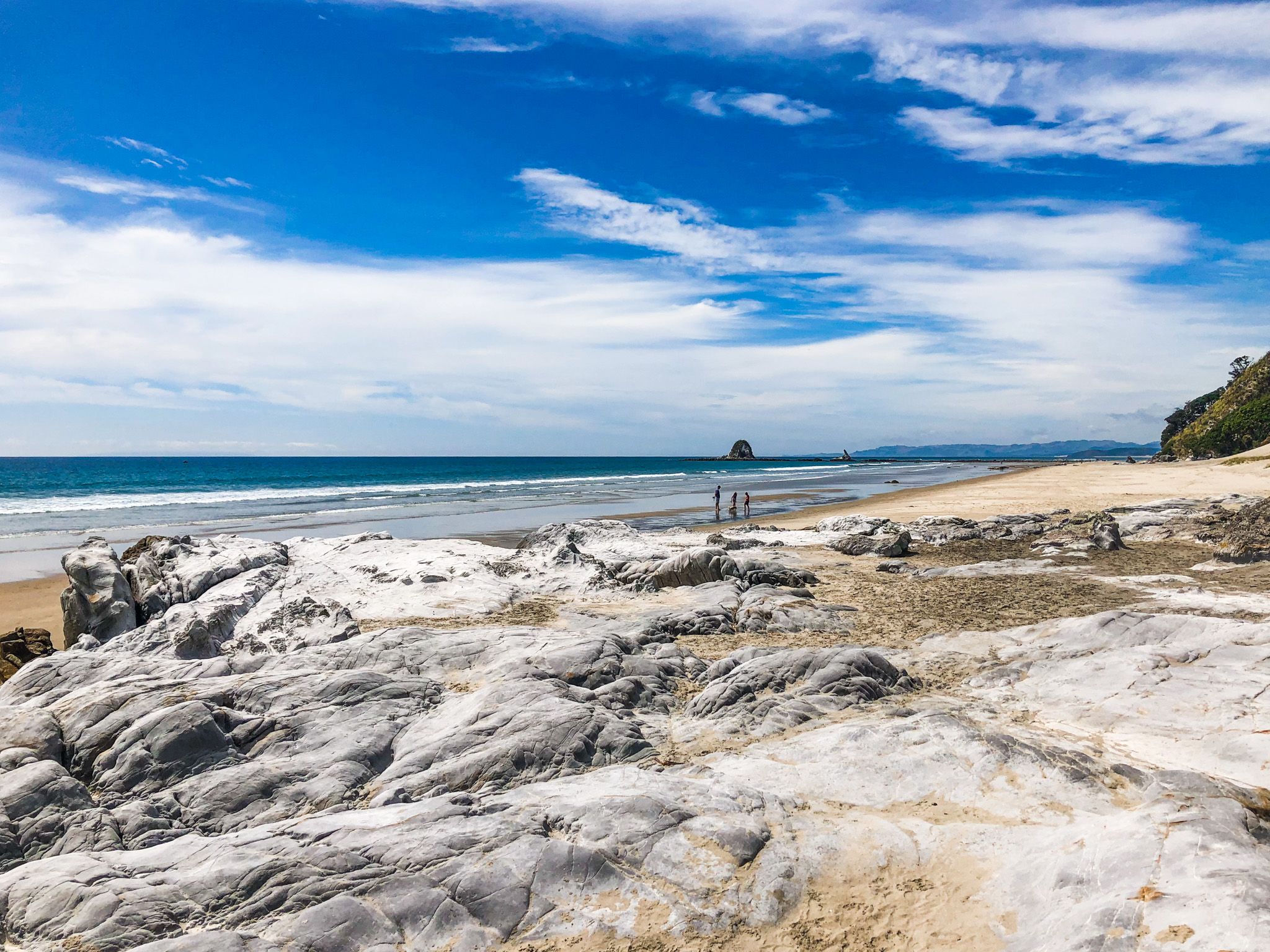
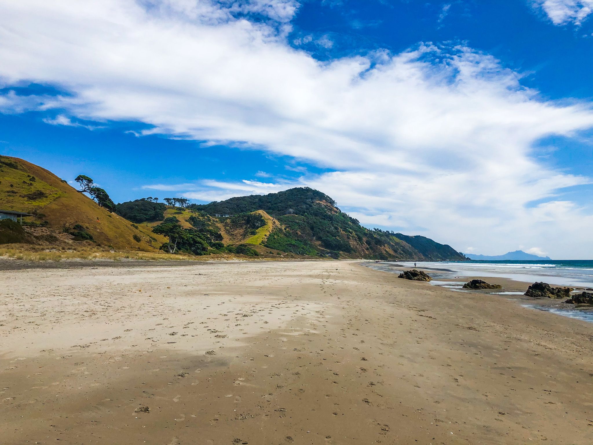
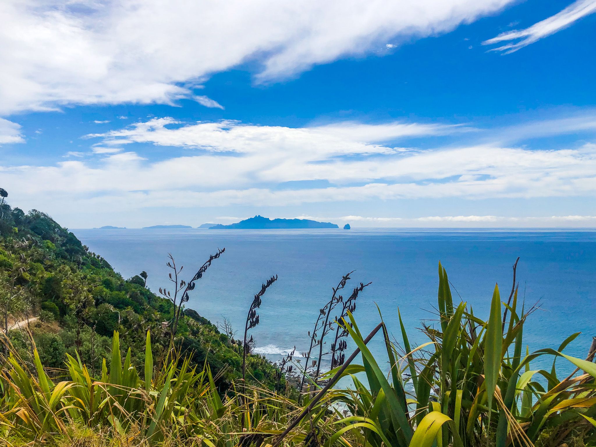
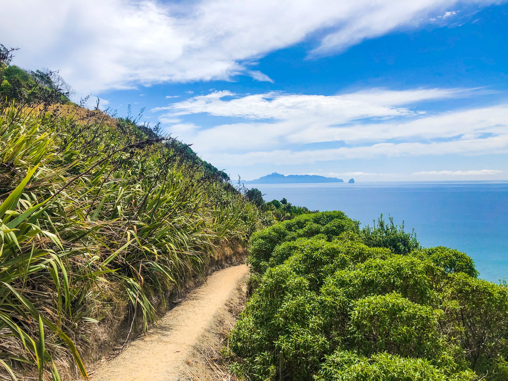
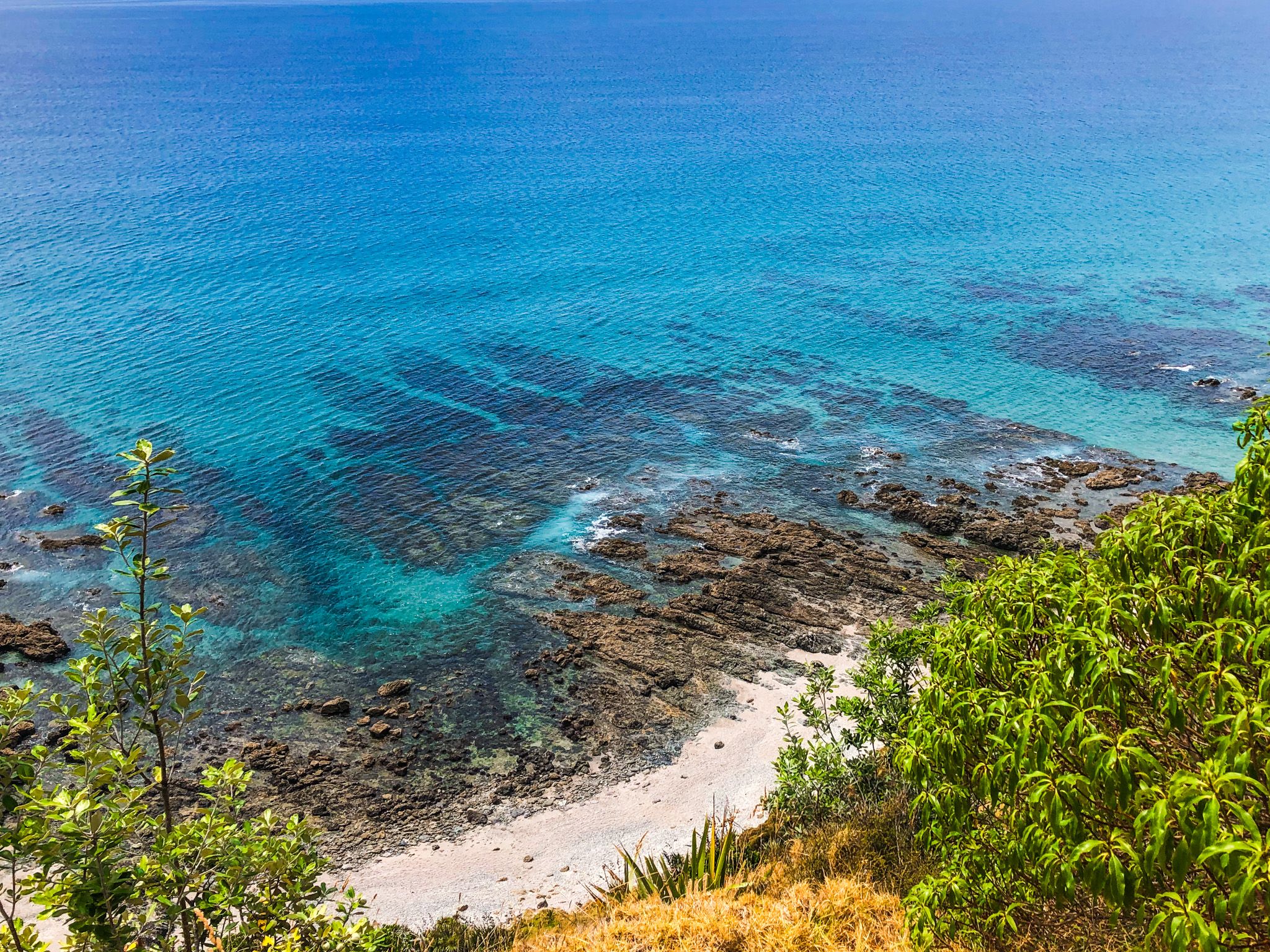
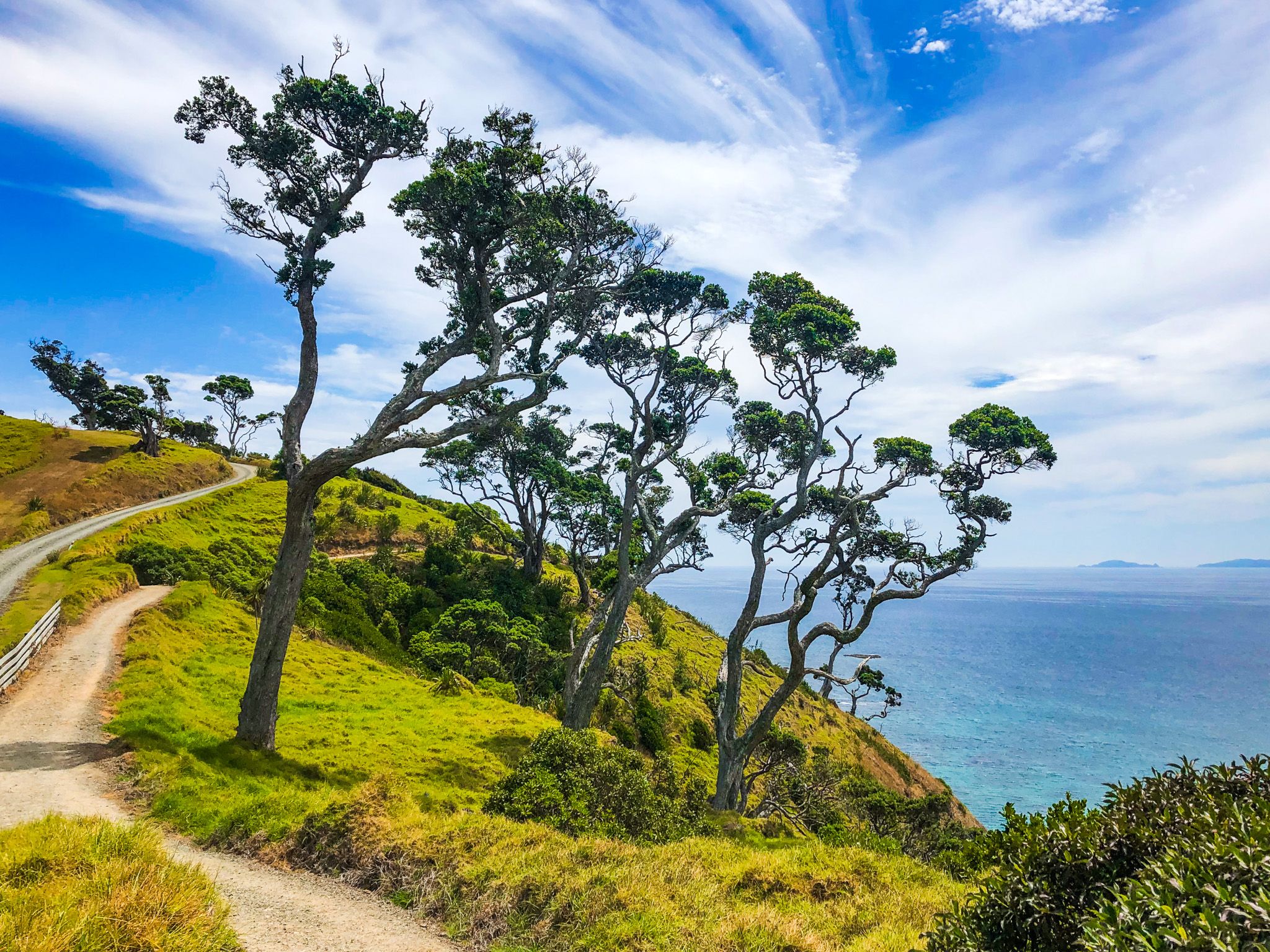
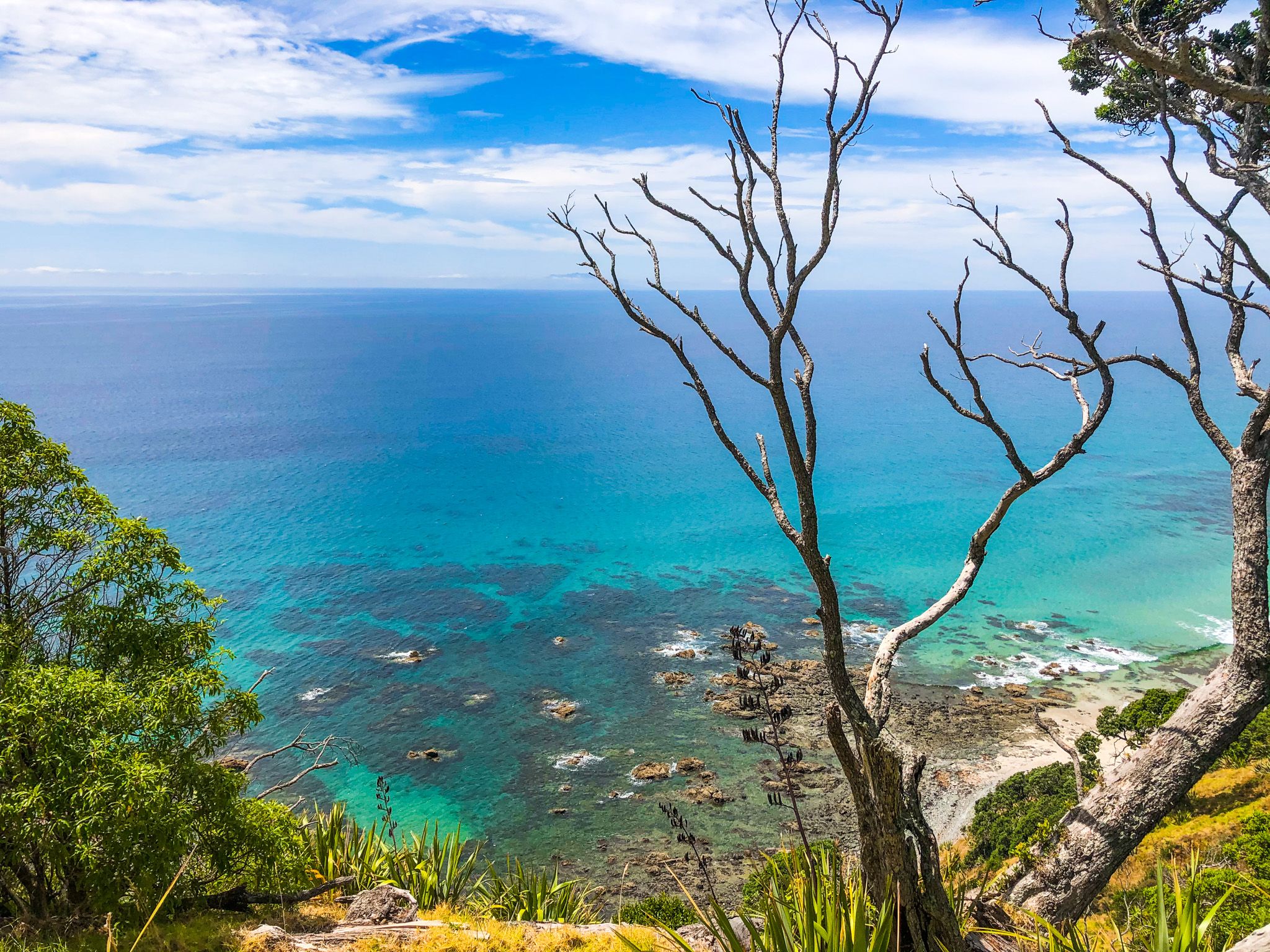
The track can be done as a loop, with a walk along the top of the Mangawhai cliffs and ridgeline and a return along the coast as the tide goes out. The high part of the track starts on the beach and ascends steeply for about 20 minutes to a lookout point. From there, about 100 metres above the coast, you can see the Coromandel Peninsula and Aotea Great Barrier Island. The track continues along the cliff edge, passing ancient pōhutukawa trees, then eventually descends to the stony coastline below the cliffs. On the return walk, the natural arch is a highlight.
The track is 9 km long and takes 2 to 3 hours. The climb to the top of the cliff is moderately steep, with many steps.
Local iwi Te Uri O Hau are believed to have arrived in Mangawhai on the ocean-going waka, Mahuhu Ki Te Rangi, around 1250. In the 1800s, rangatira Te Whai resided in Manga, which means “where the rivers meet.” This provided the name Manga-Te-Whai, now abbreviated to Mangawhai.
The quickest way to Mangawhai is from Kaiwaka on State Highway 1 on Kaiwaka Mangawhai Road. The south end of the track is accessible from the Kaipara District Council car park near the Surf Life Saving Club at the end of Wintle Street. Alternatively, you can access the north end of the track from the west end of Bream Tail Road and Te Araroa.