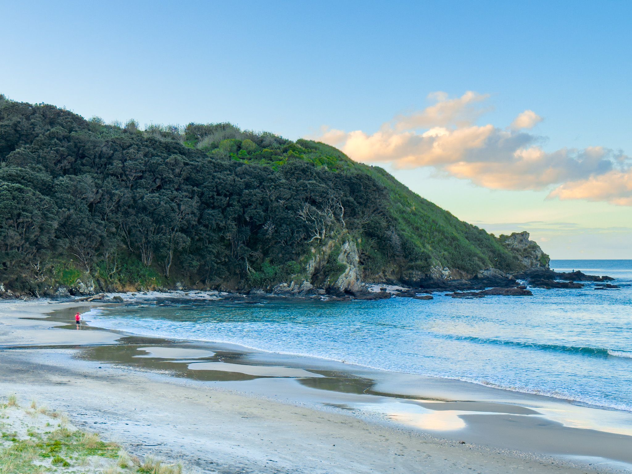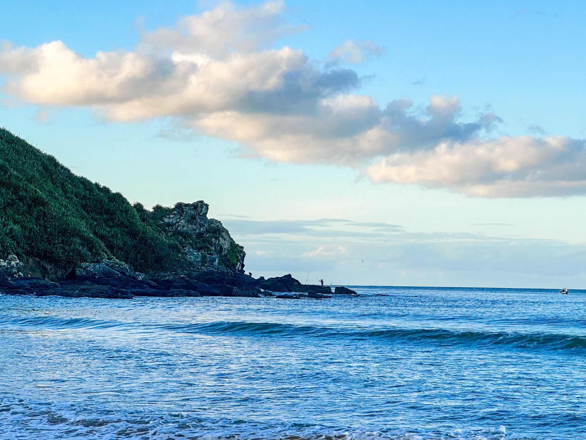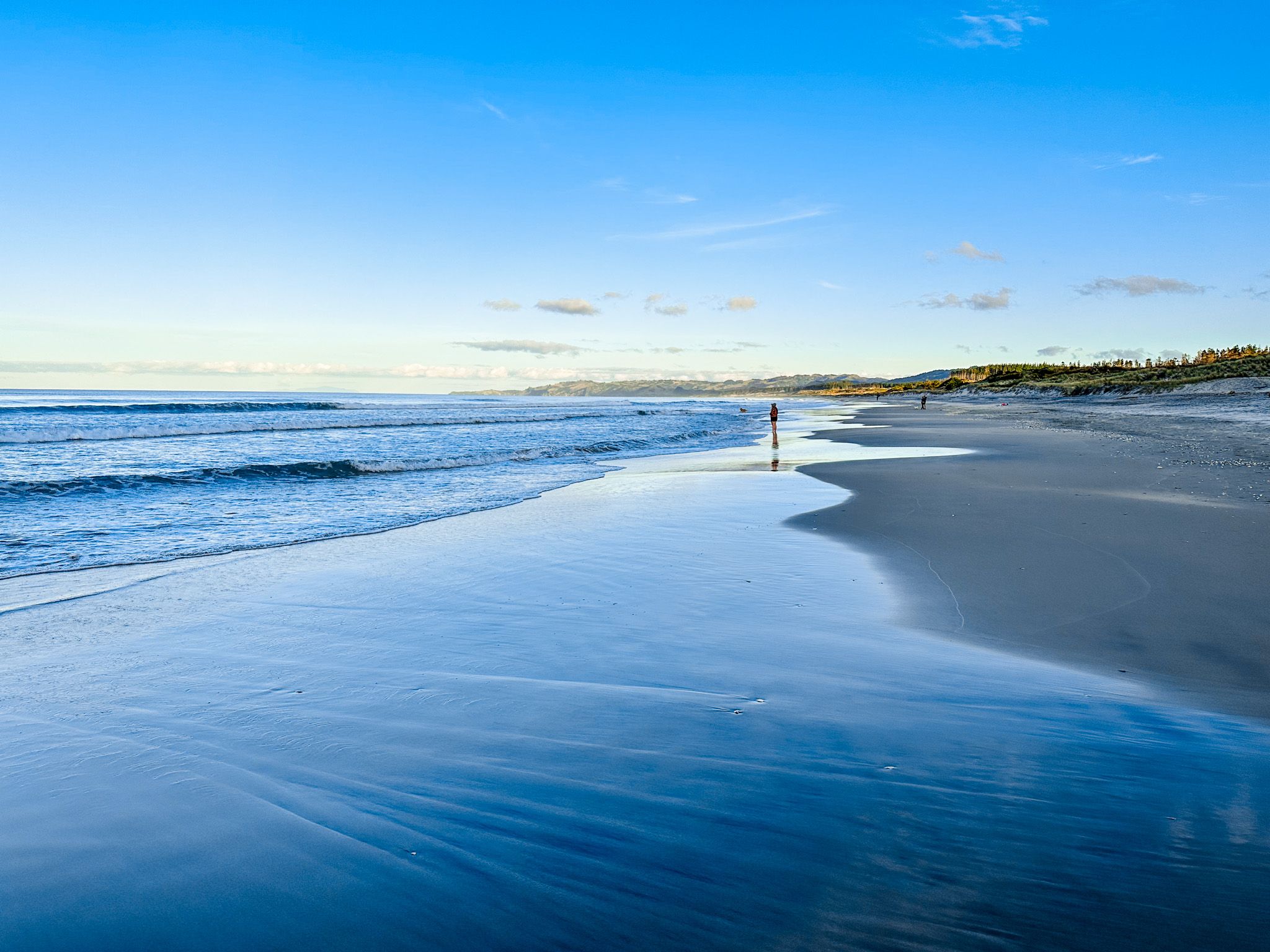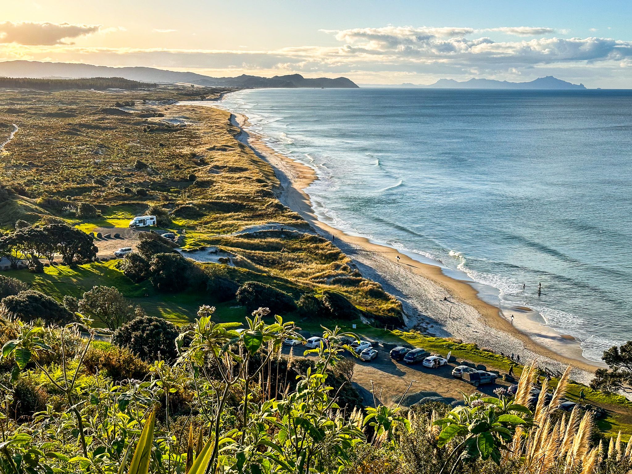
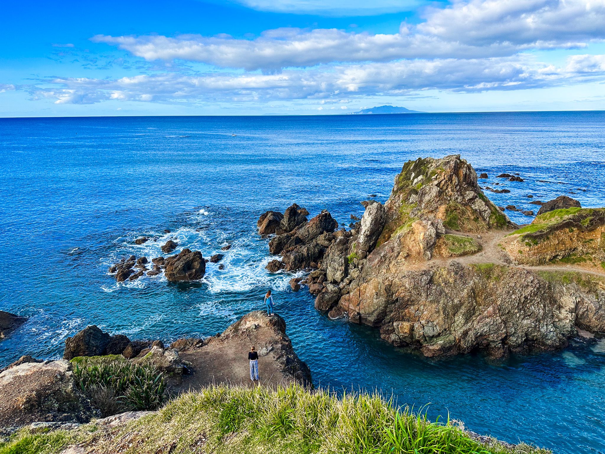
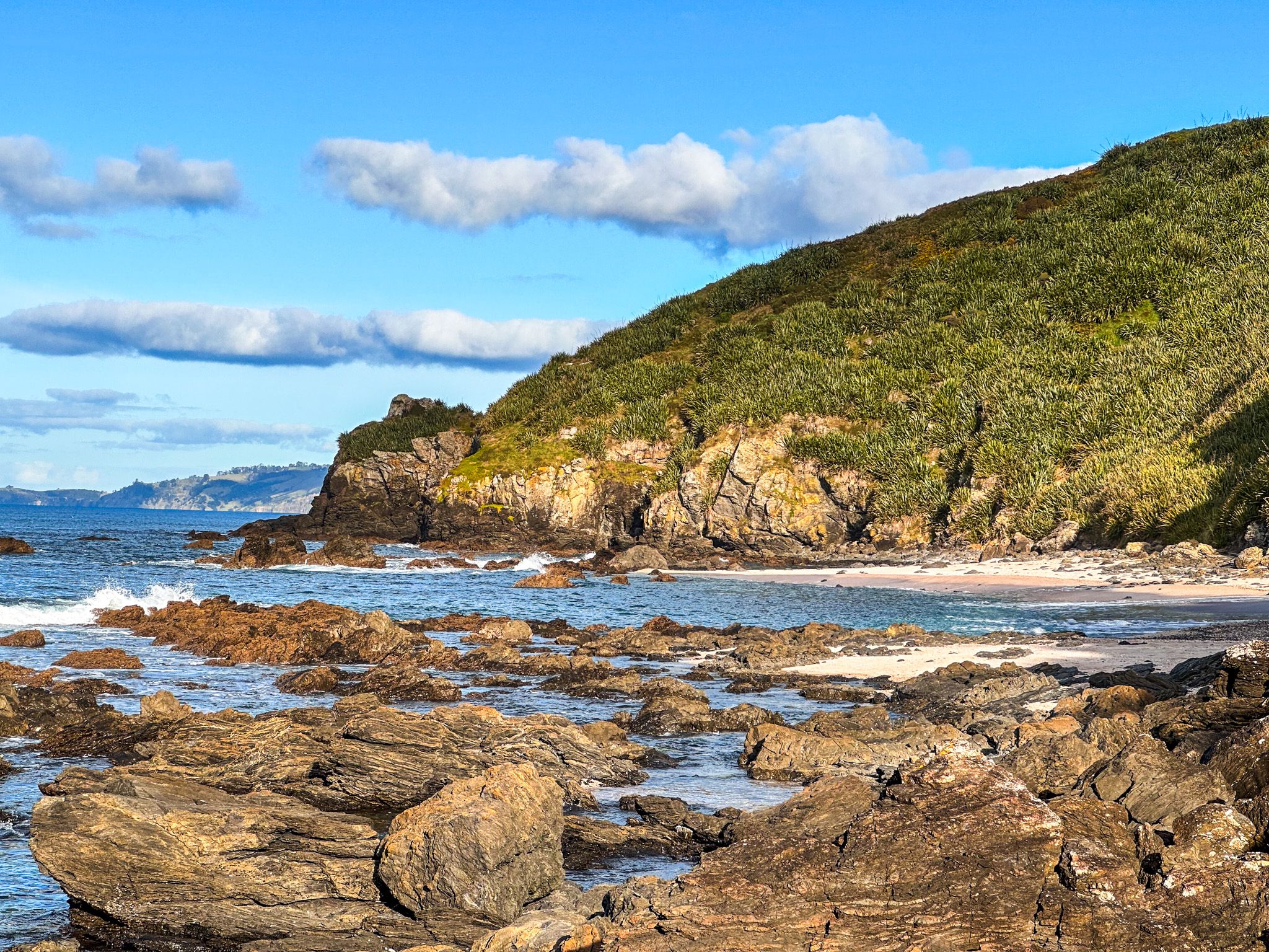
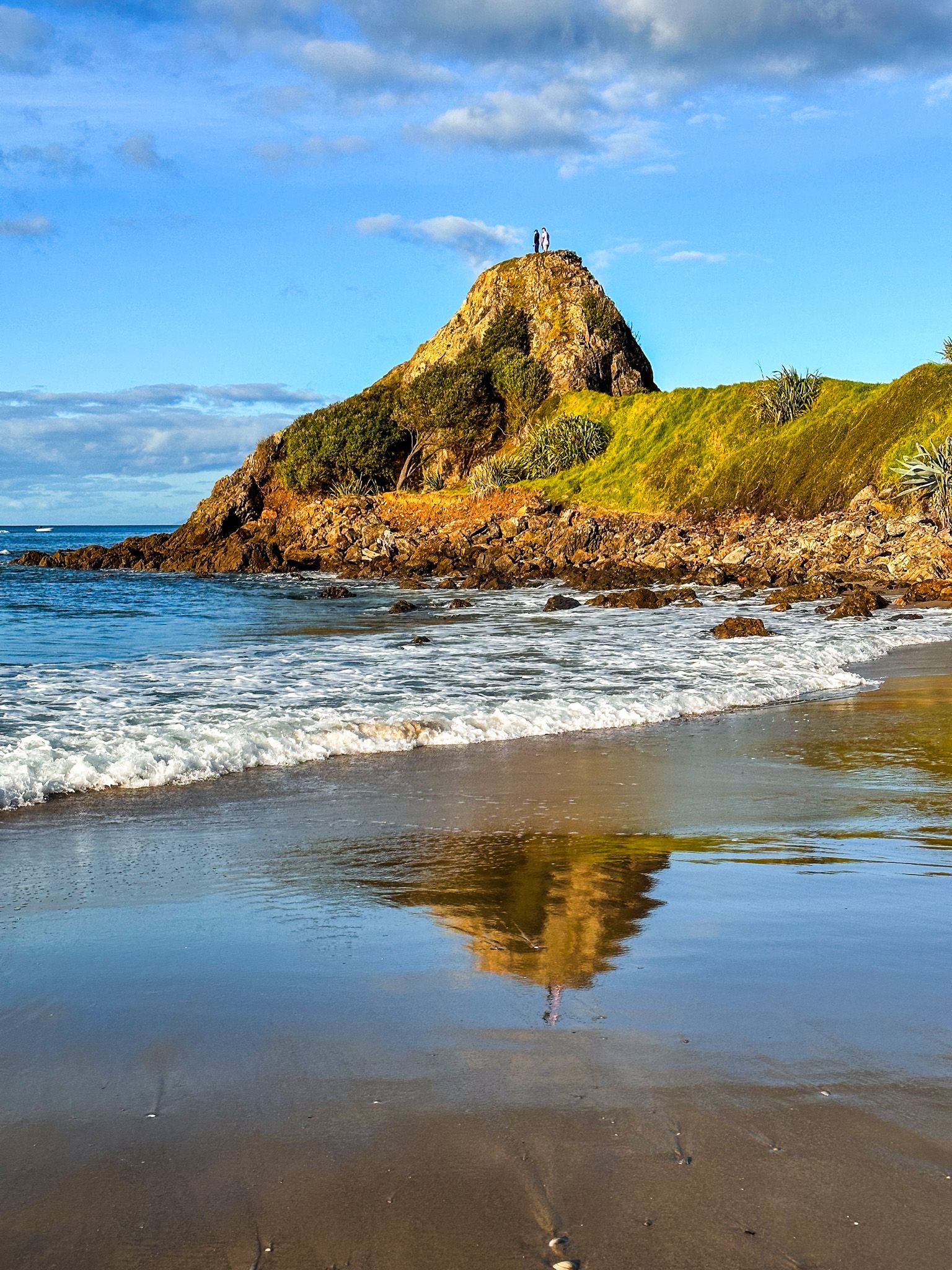
Te Ārai Regional Park is the most northeasterly of the 28 Auckland regional parks. The park encapsulates the twin points of Eyres Point and Te Ārai Point. The twin points are in the middle of the roughly 30 km white sand beach between Mangawhai to the north and Cape Rodney to the south. The park also sits astride Te Araroa, which runs along the coast from Mangawhai to Pakiri.
Te Ārai comes from Tāhuhunui-o-te-rangi, who was captain of the ocean-going waka, Moekākara. He landed and set up a temporary shelter (ārai) at the point and was later buried there.
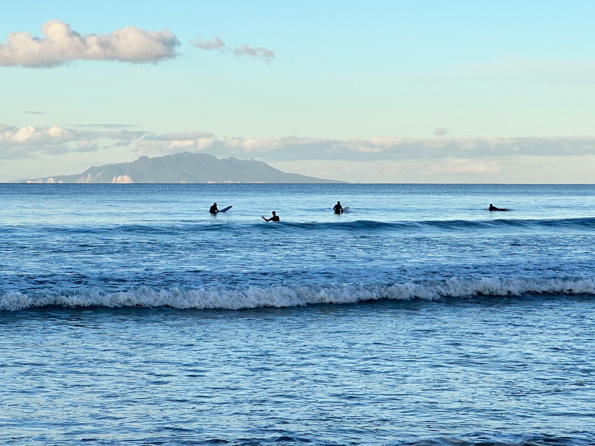
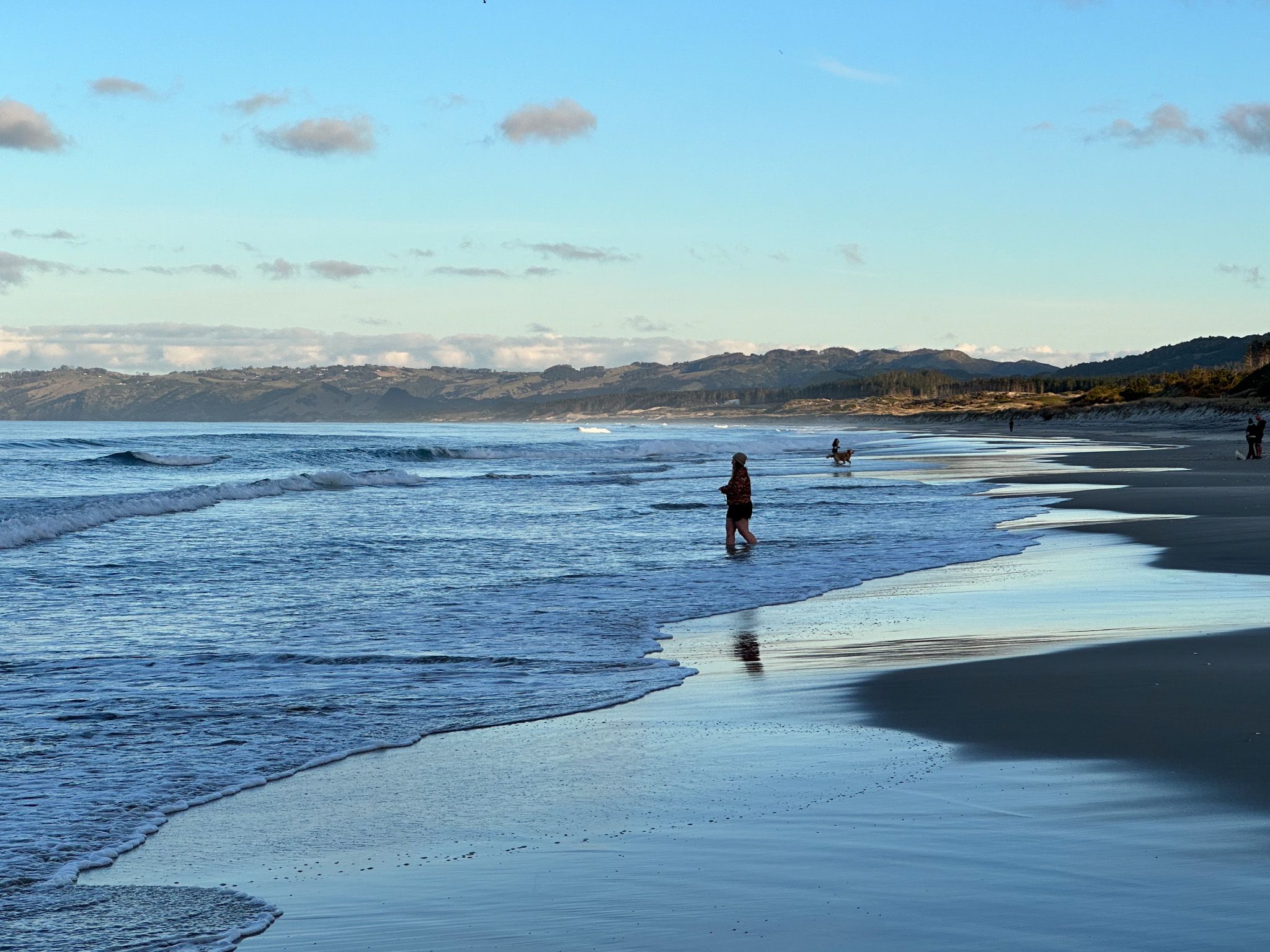
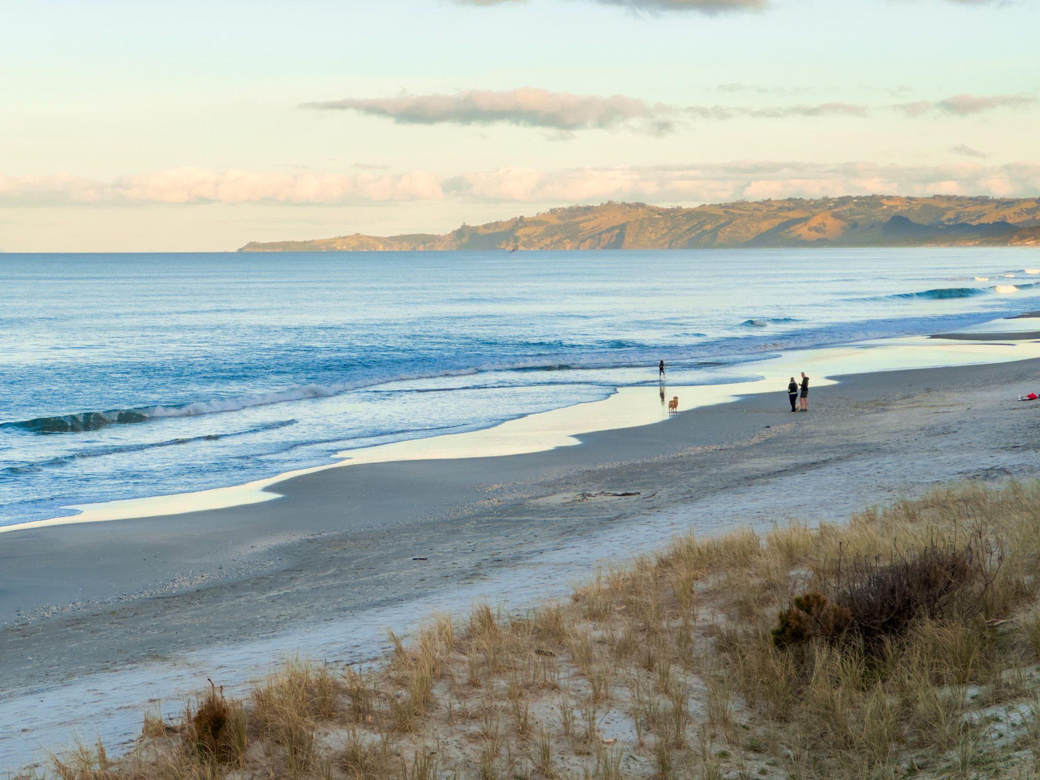
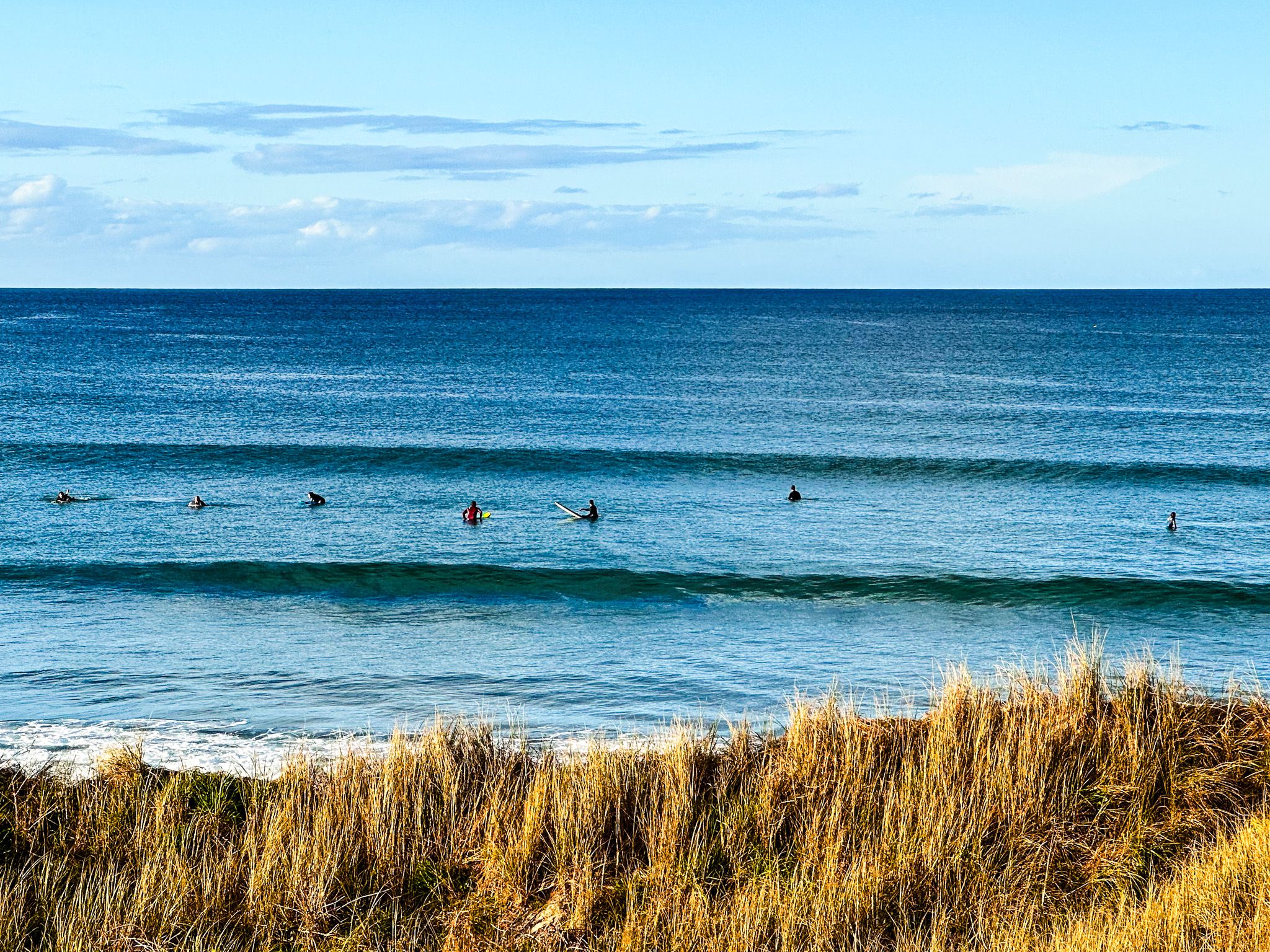
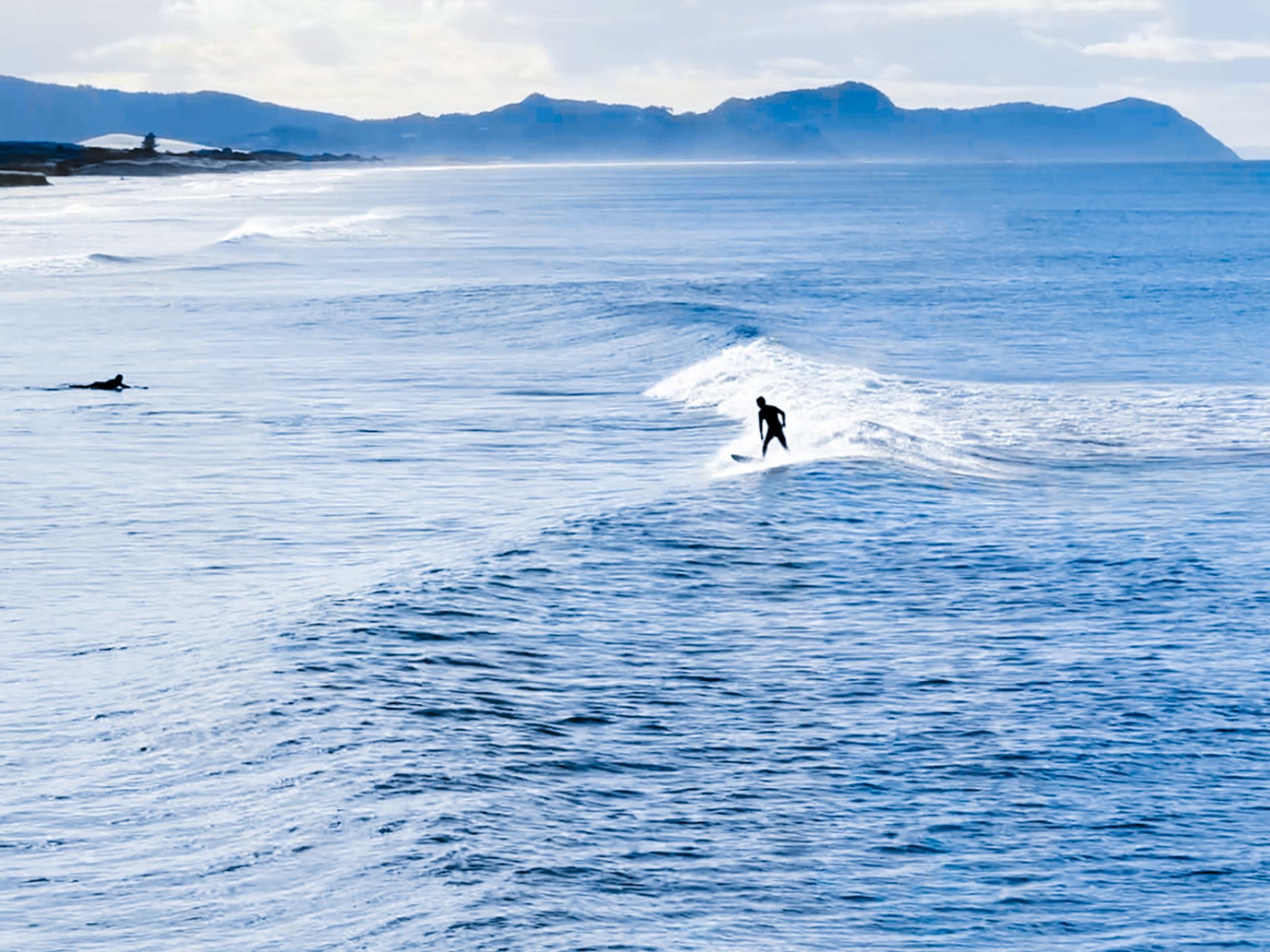
Te Ārai Beach is on the north side of the twin points and is reached on Te Ārai Point Road from Mangawhai Road. This is the main access to the park, with a campsite and a top-rated surfing destination.
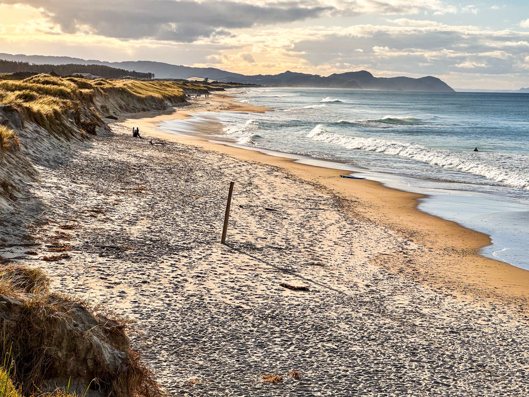
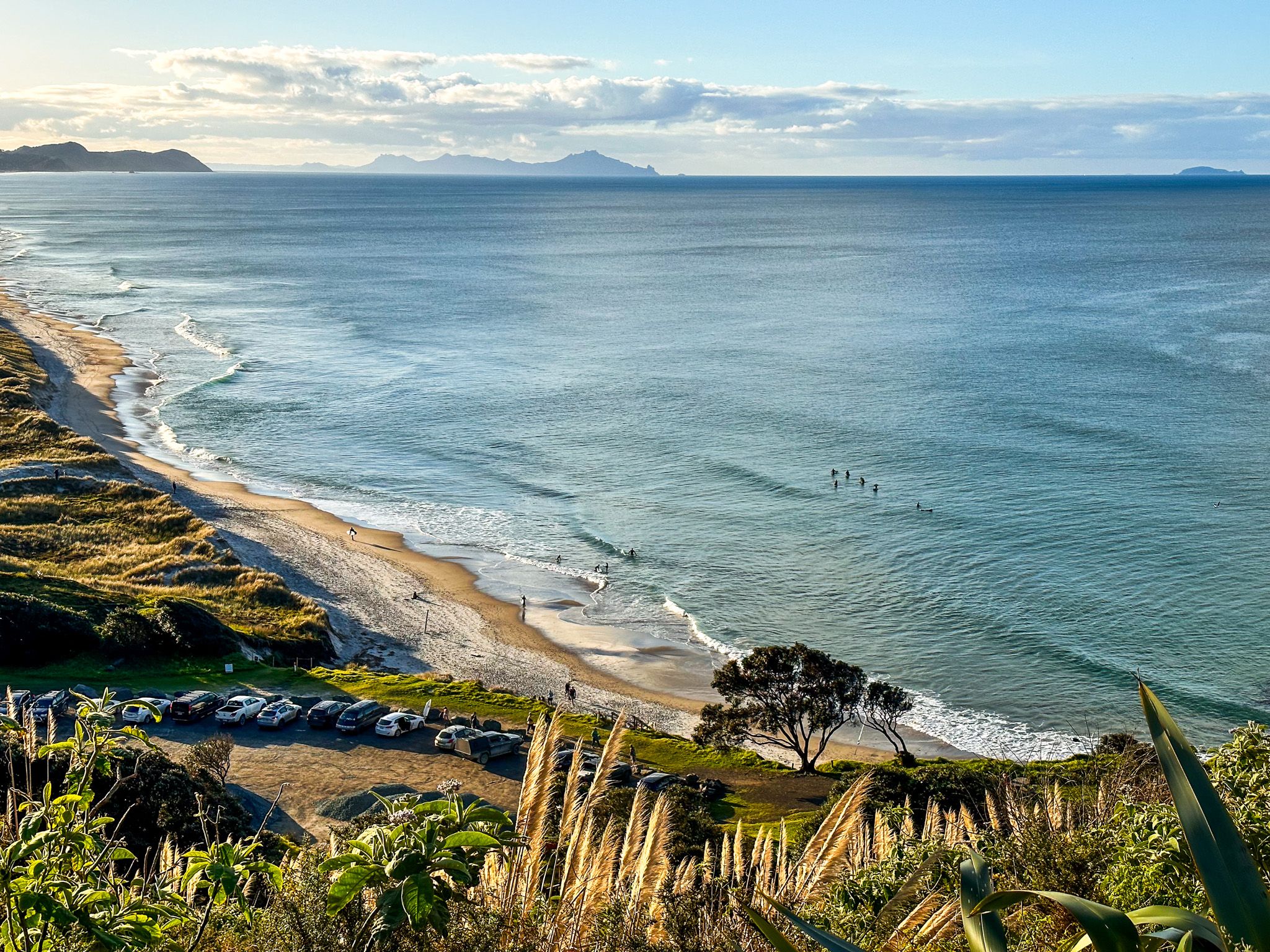
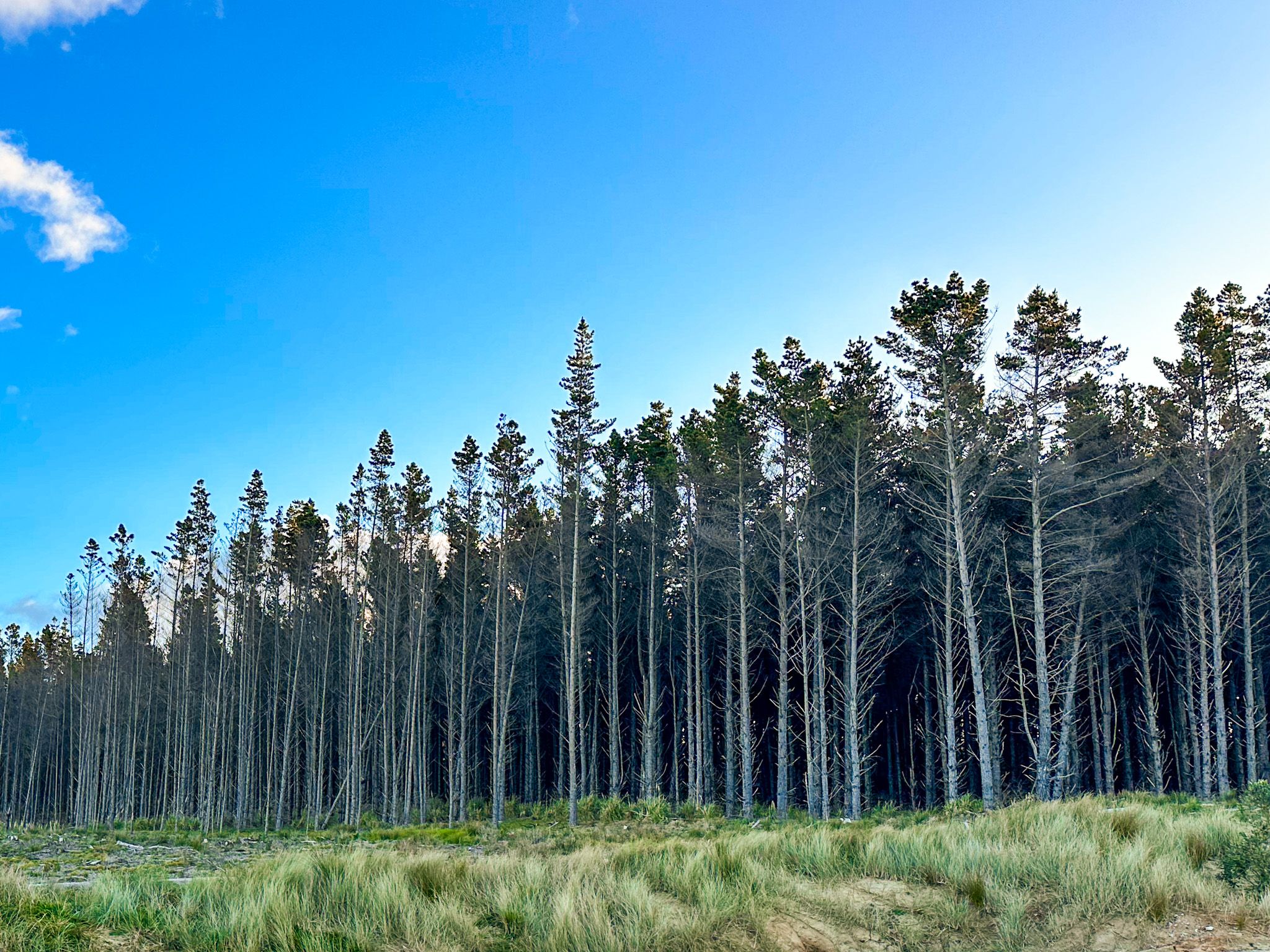
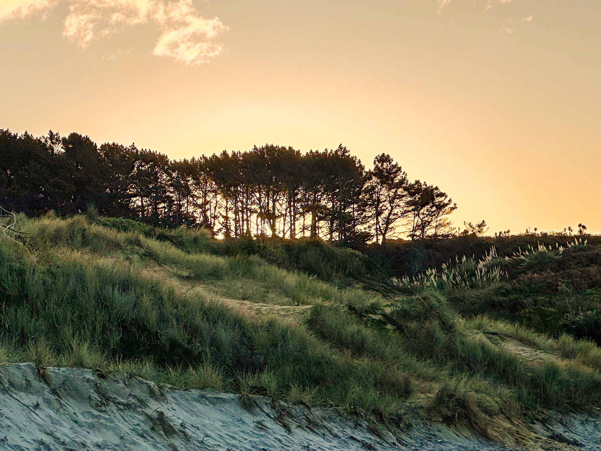
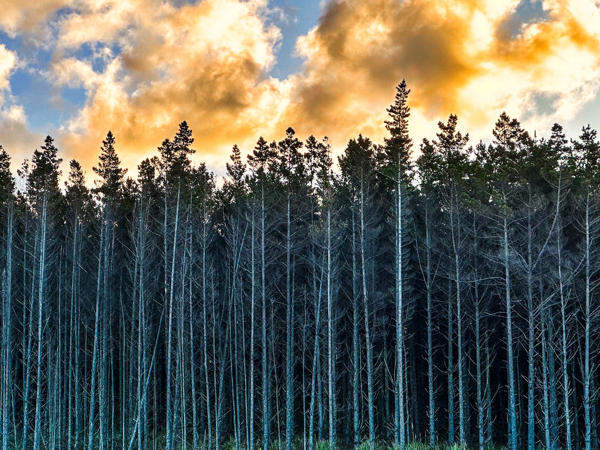
You can also drive around to the south side of the twin points to what is known as Forestry Beach. The beach's northern end runs to Pākiri and Cape Rodney. The name comes from the extensive pine plantation forests behind the dunes. From Te Ārai Point Road, take Ocean View Road, then veer right on the access road. There is plenty of parking with access to the beach over the dunes.
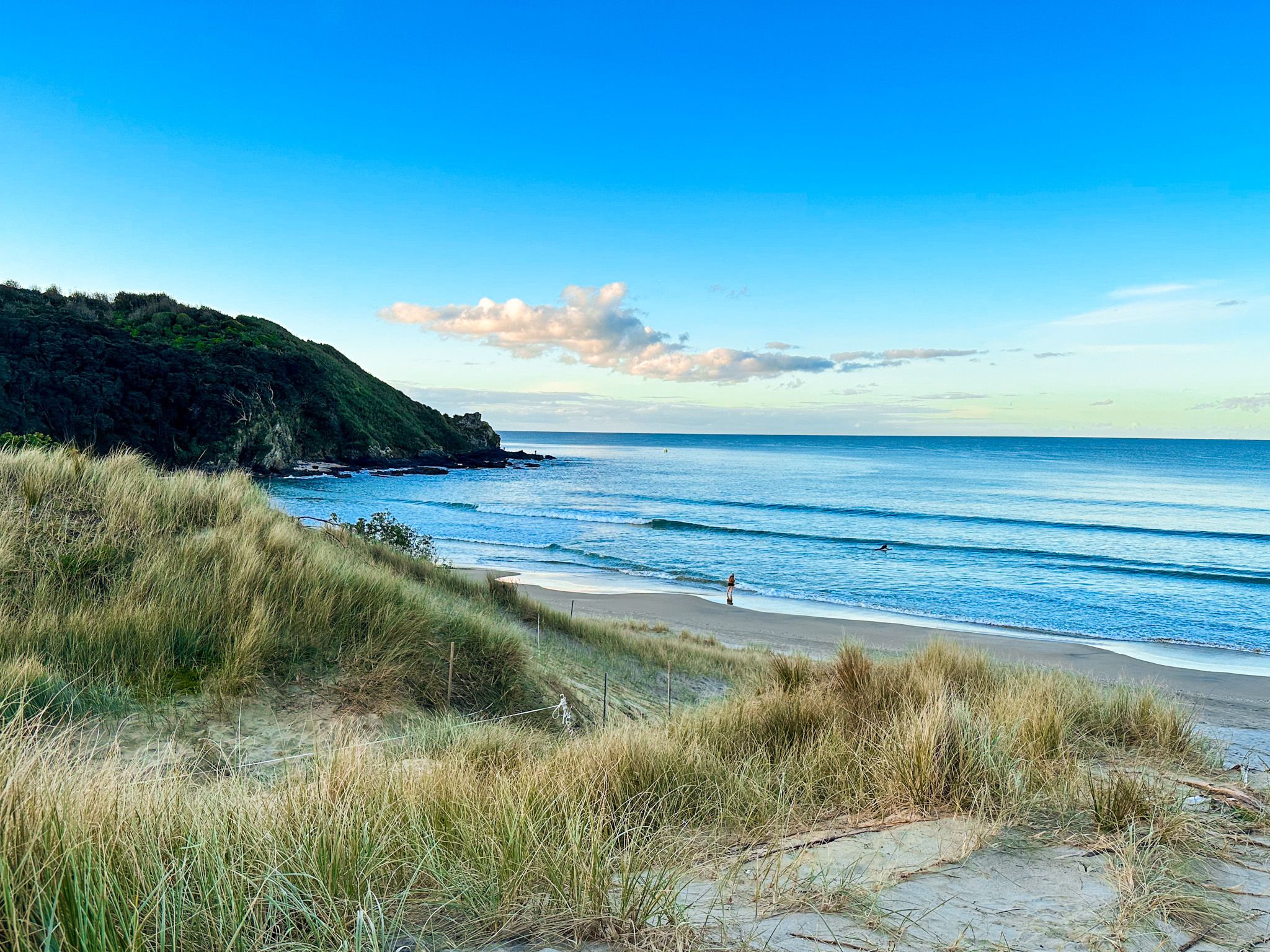
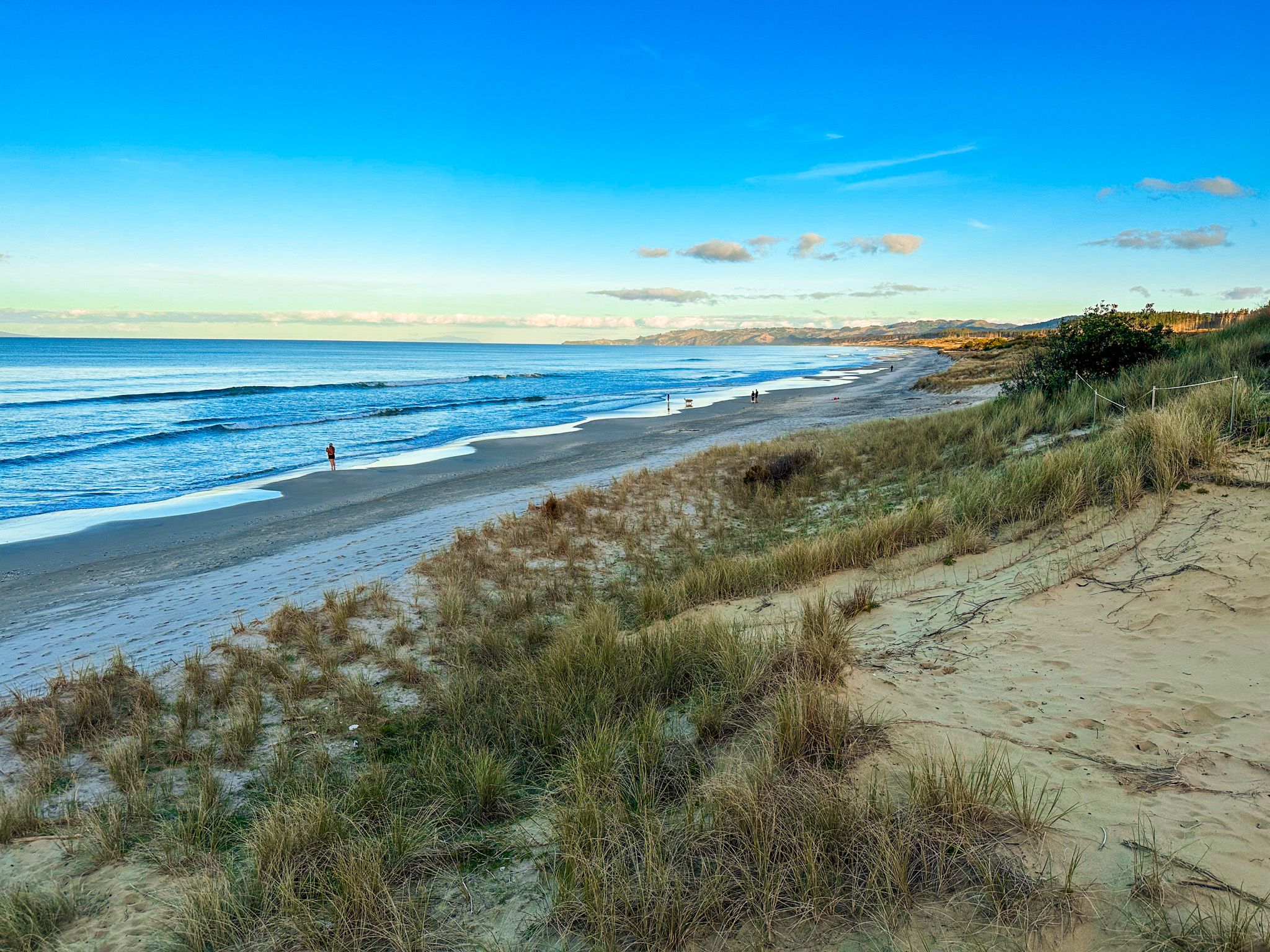
The park also includes dune lakes, wetlands, and coastal regenerating forests, with walking tracks over and around the twin points to Forestry Beach.
Among the bird species is the critically endangered New Zealand fairy tern, of which only around 40 are left. You can read more here.