For most Kiwis, Wellington City would not be a priority for an outdoors-oriented trip around the lower North Island. For many of us, Wellington is an earthquake-prone and windy government centre. There were two big earthquakes in 1848 and 1855, and the city holds the world record for daily average wind speed of 27 km per hour. However, the negative perspective is a mistake. In addition to its great art and eatery scene, Wellington and its outer fringes have superb walking and hiking. It is easy to get immersed around the harbour and surrounding hills for a day or two, with amazing views from almost anywhere.
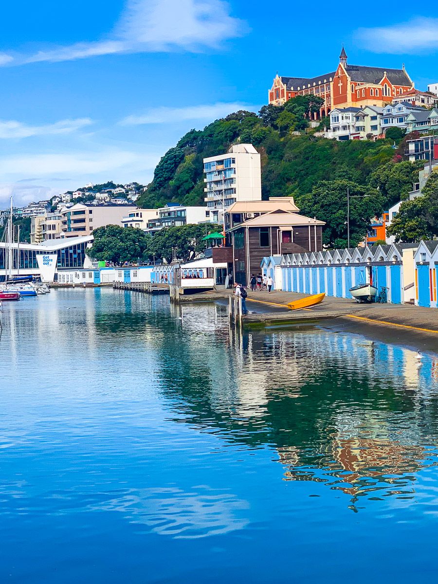
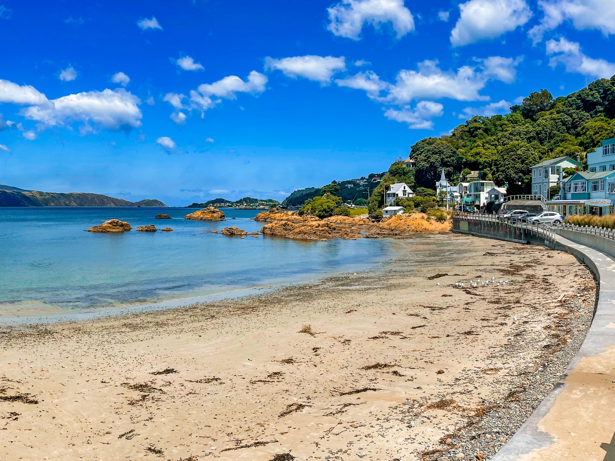
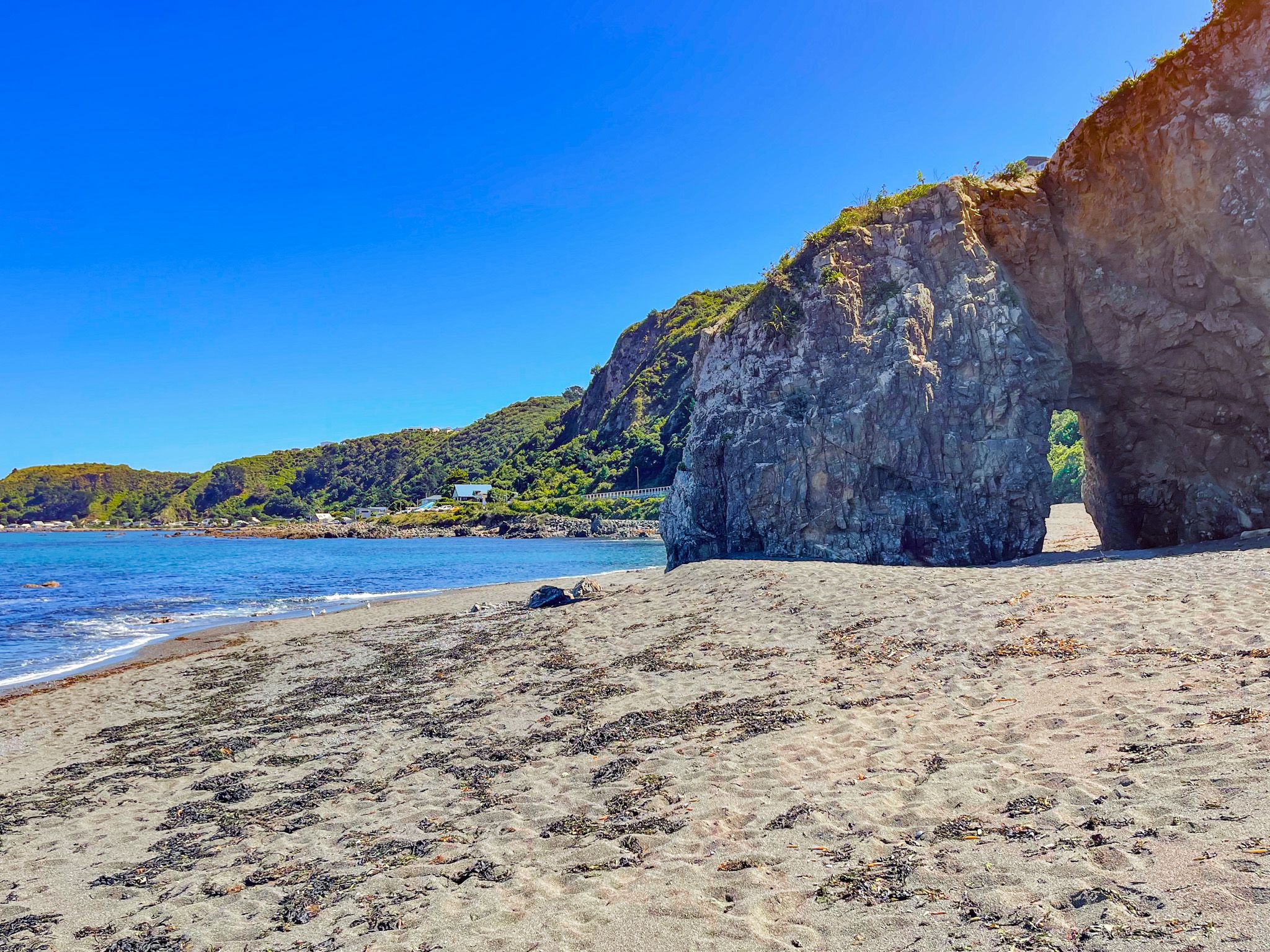
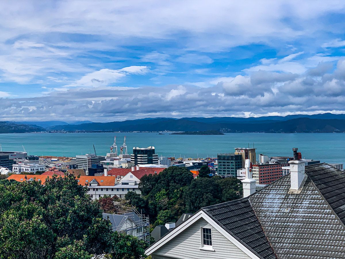
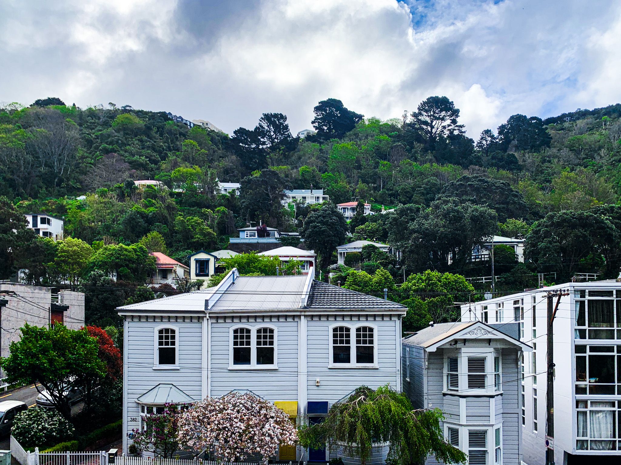
The central city has around 220,000 people and is on the southwest side of Wellington Harbour, with its entrance from Cook Strait. It combines a mostly hilly sea and harbour-facing coastline with urbanised flats, much of which was reclaimed after the 1855 earthquake. Prominent features include the bays facing Cook Strait, Miramar Peninsula, Mount Victoria, the hills on the city's west side, and the central city waterfront. Going further afield, the suburban towns stretch from the harbour's west side up a rugged valley to Porirua on the west coast and from the harbour's north end up the Hutt Valley. These places are connected to downtown by excellent train services that also get you to the Kapiti Coast and Wairarapa.
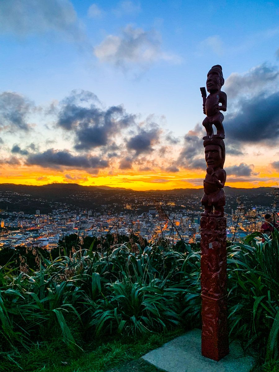
Kupe is reputed to have discovered the harbour around the 10th century. The two islands in Wellington Harbour were named for his daughters, Matiu (Somes Island) and Mākaro (Ward Island). A later Māori explorer, Whatonga, named the harbour Te Whanganui-a-Tara after his son Tara. Māori are known to have inhabited the area from the late 1200s onwards, and until the 1820s, most were Whatonga's descendants. However, these iwi were forced out during the Musket Wars. Ngāti Toa, led by the Napoleon of the South, Te Rauparaha, migrated via Kaptit whilst other iwi moved in from the Central North Island and Tarankai.


Te Rauparaha was adept at developing ties with early European whalers and traders. Once the fighting had settled, the sheltered Wellington Harbour became a top location for European settlement. In 1839, William Wakefield began to buy land from the conquerors for the New Zealand Company, which promoted British settlement. The first settlers preceded the signing of the Treaty of Waitangi in 1840 by two weeks. The first houses were in Petone (initially called Britannia) near the Hutt River mouth. It proved too swampy, and most moved to Thorndon (now central Wellington). This town was named Wellington in November 1840 in recognition of the Duke of Wellington, a supporter of the principles of British colonisation in NZ and Australia.
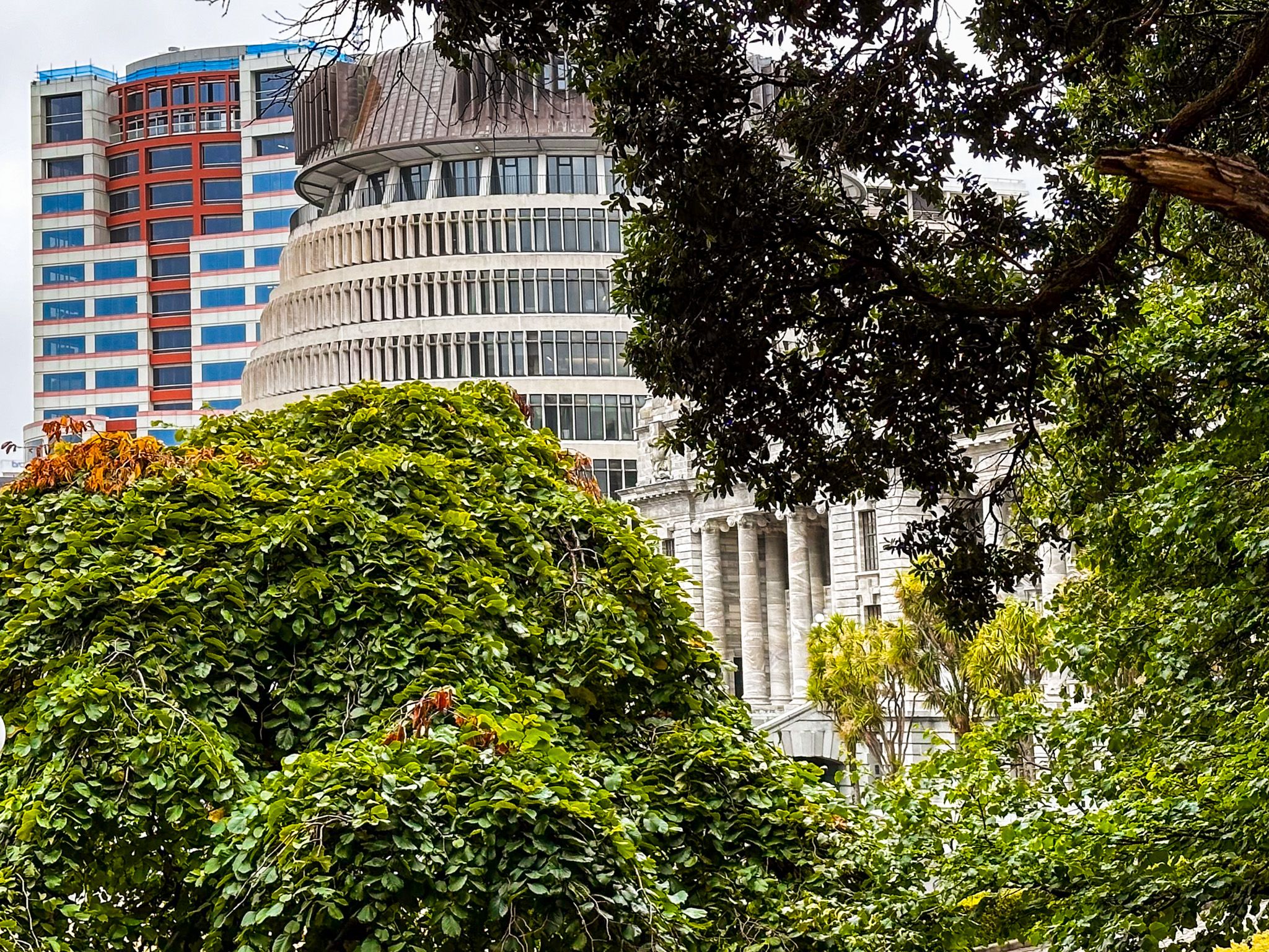
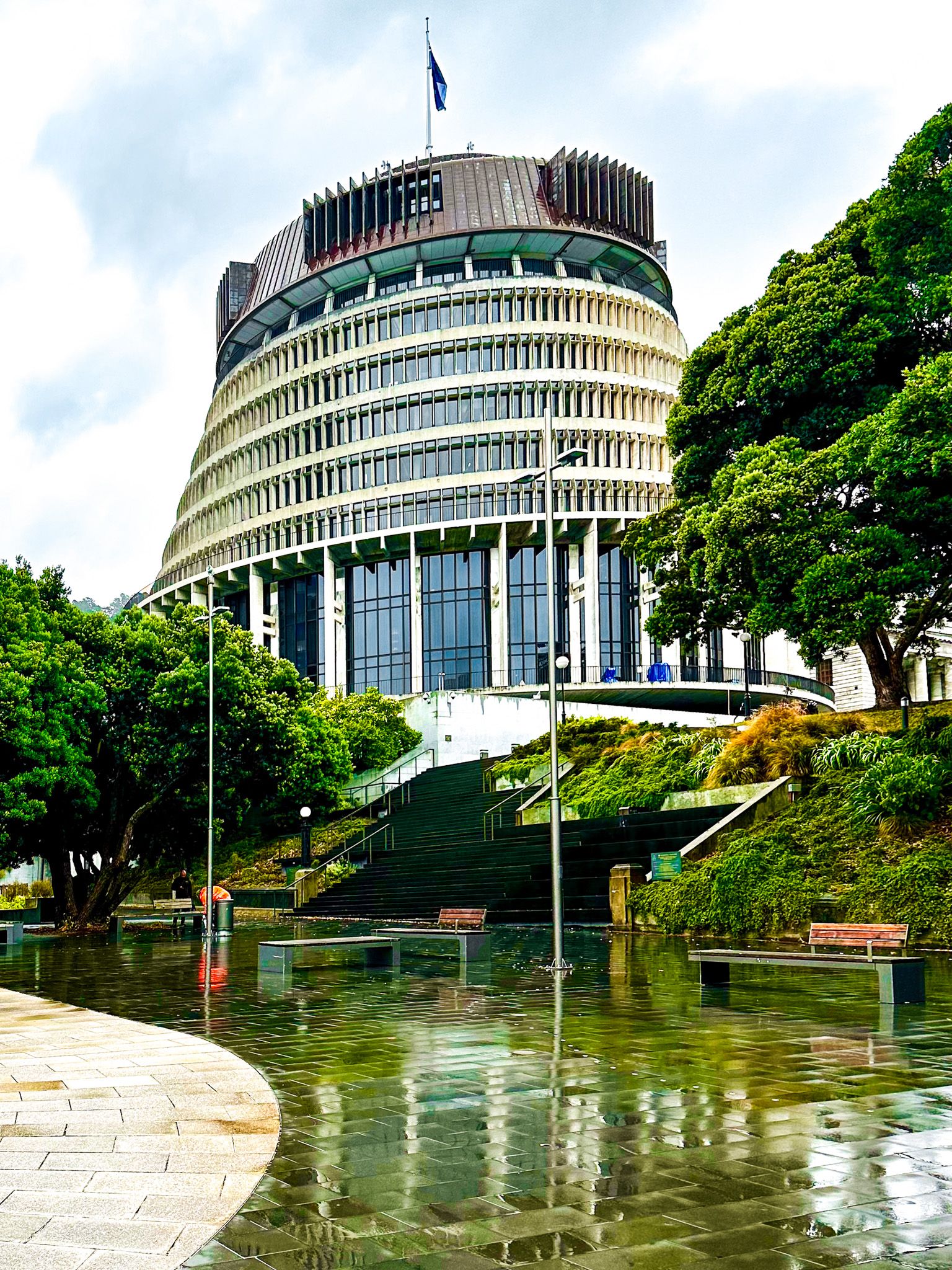
When Wellington appeared, the first capital of NZ was Okiato in the Bay of Islands, and it was moved to Auckland in 1841. However, by the 1860s, the South Island had a larger European population than the North Island due to the discovery of gold and its smaller Māori population. There was concern that the South Island might form a separate colony, and Wellington was more central. It has been the capital since 1865, and the Government, Parliament, and most central public services are in the central city.
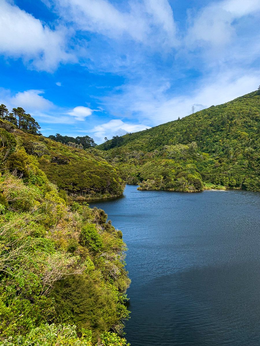
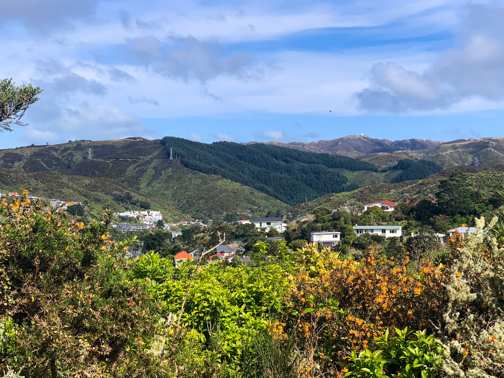
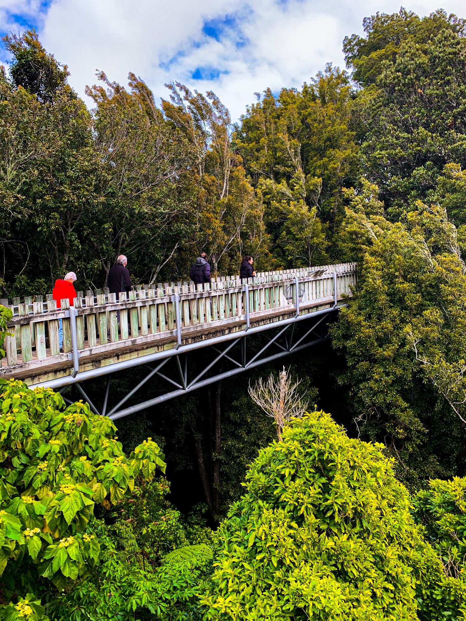
Like most of NZ, the settlers set about cutting down the surrounding forests when they arrived. Only a tiny part of the original ancient forest is left at Otari-Wilton’s Bush. However, a feature of the region is the recent regrowth of forest throughout the surrounding hills. This, plus the overflow of native birds from Zealandia and public support in predator control, means the city fringe has the best recovering native bird population of any city in NZ. This includes kiwi, kaka, and kereru.
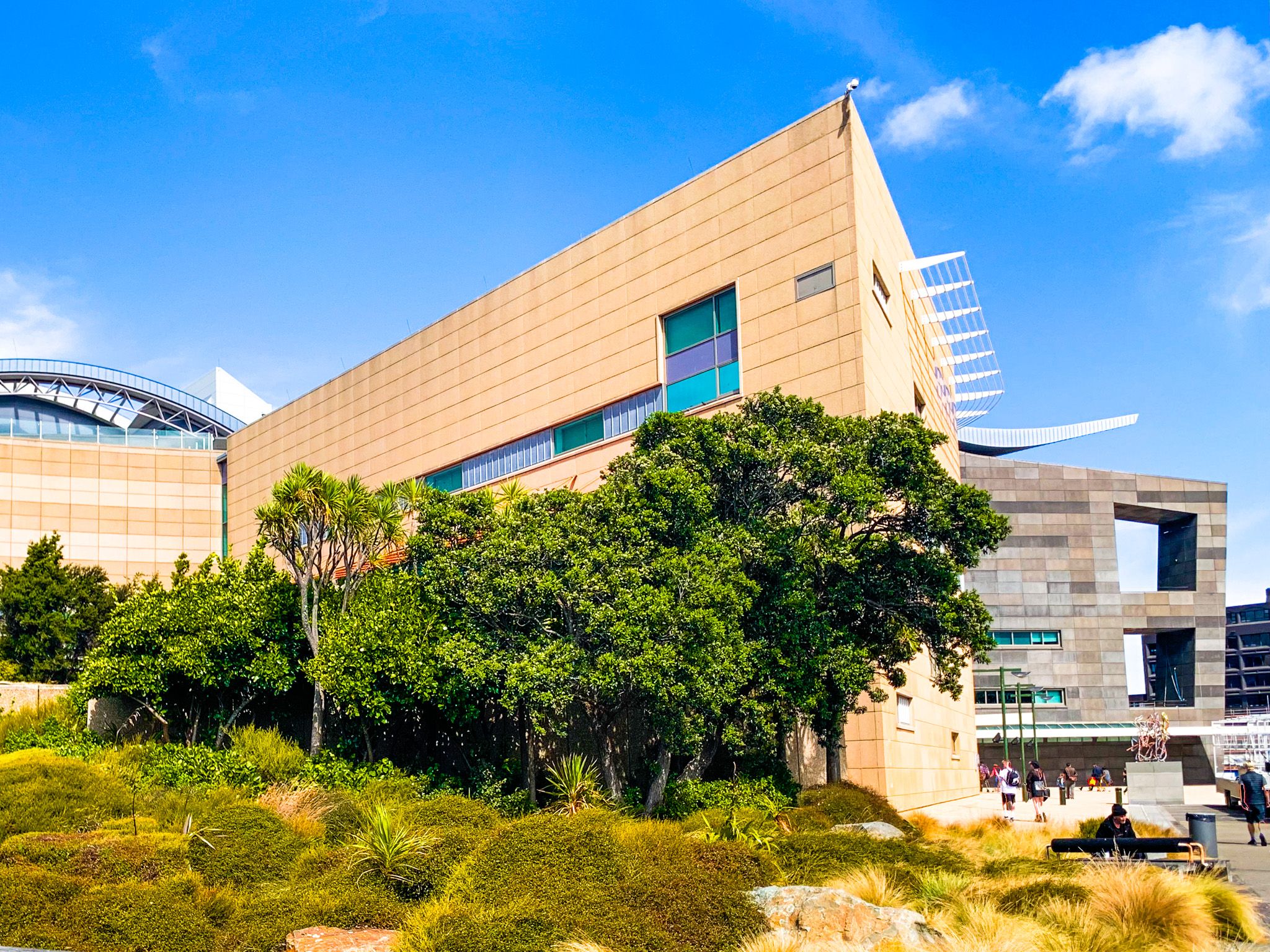
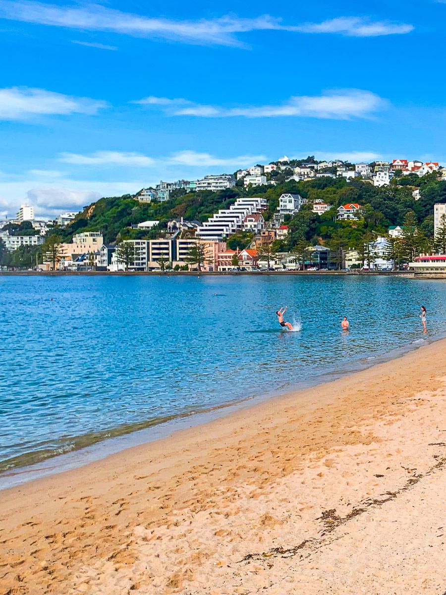
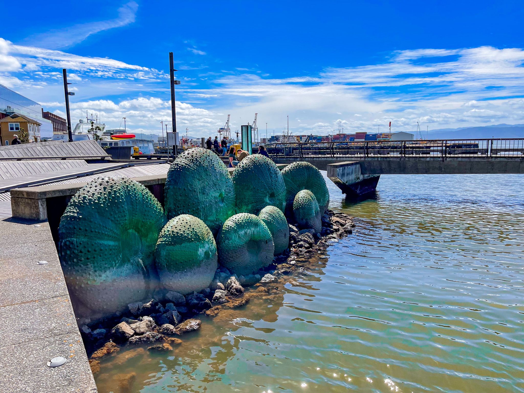
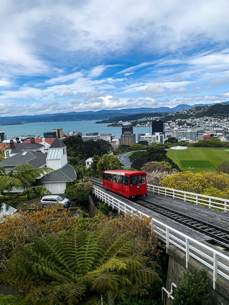
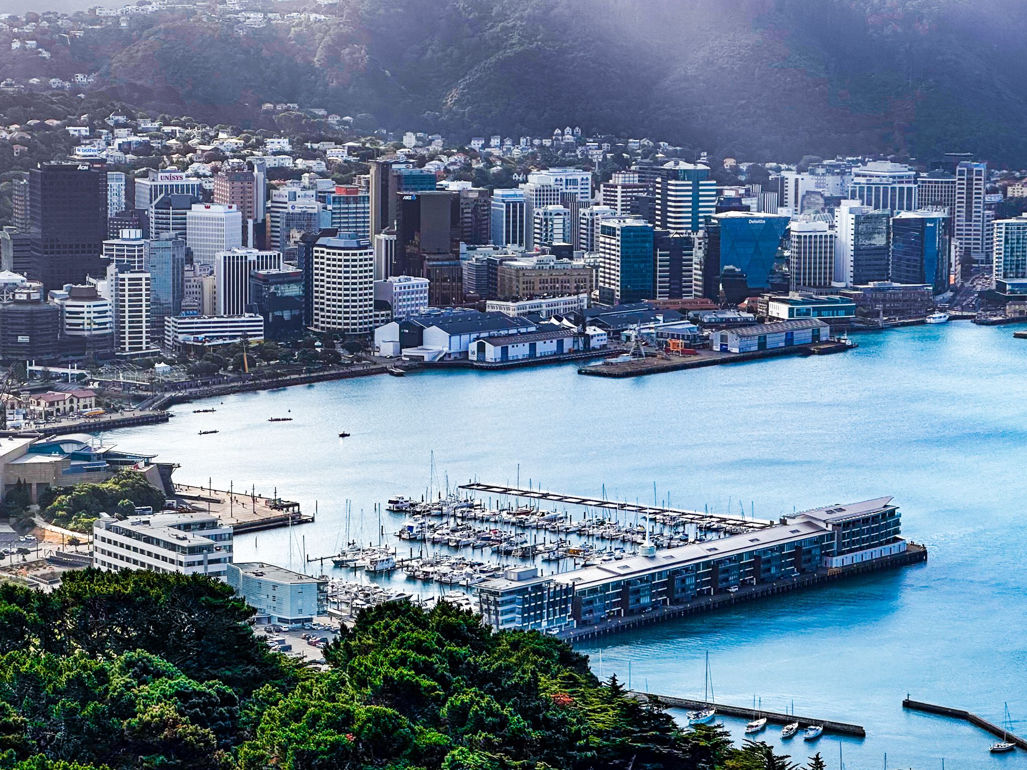
A walk around the central city is a delight. The city is compact and offers a broad mix of options. In addition to Zealandia and Otari-Wilton’s Bush, there are the Botanic Gardens and Victoria University, with great views over the city, Victorian houses on steep hills, the parliament precinct, the waterfront, Te Papa, Pukeahu National War Memorial and Oriental Bay, and the main commercial district. A bit further afield are the Skyline Walkway and Mt Victoria walking tracks, as well as a driving or cycling tour of the coast around Miramar and the south coast bays. When you are done, check out the cafes and restaurants around Cuba Street.