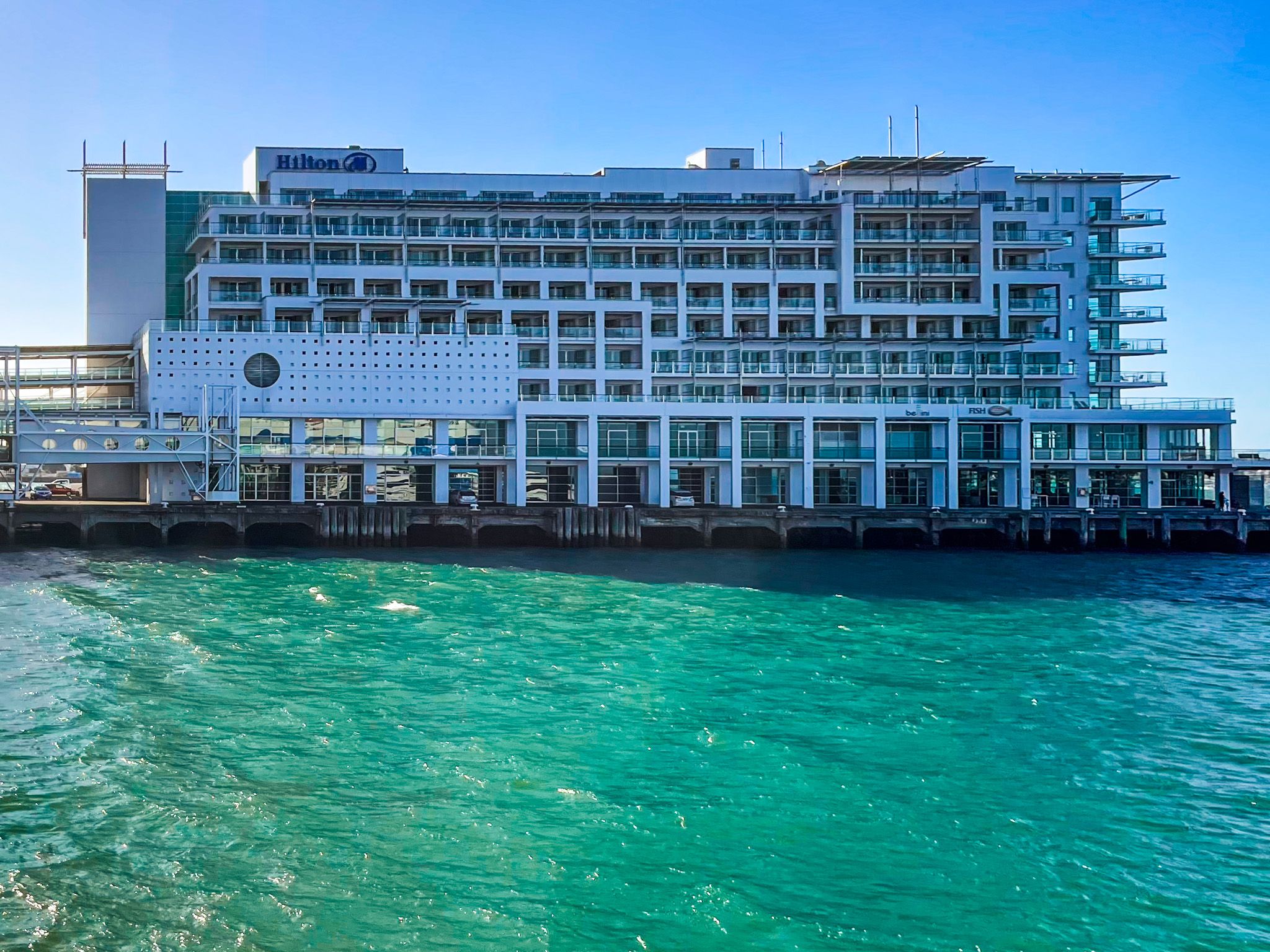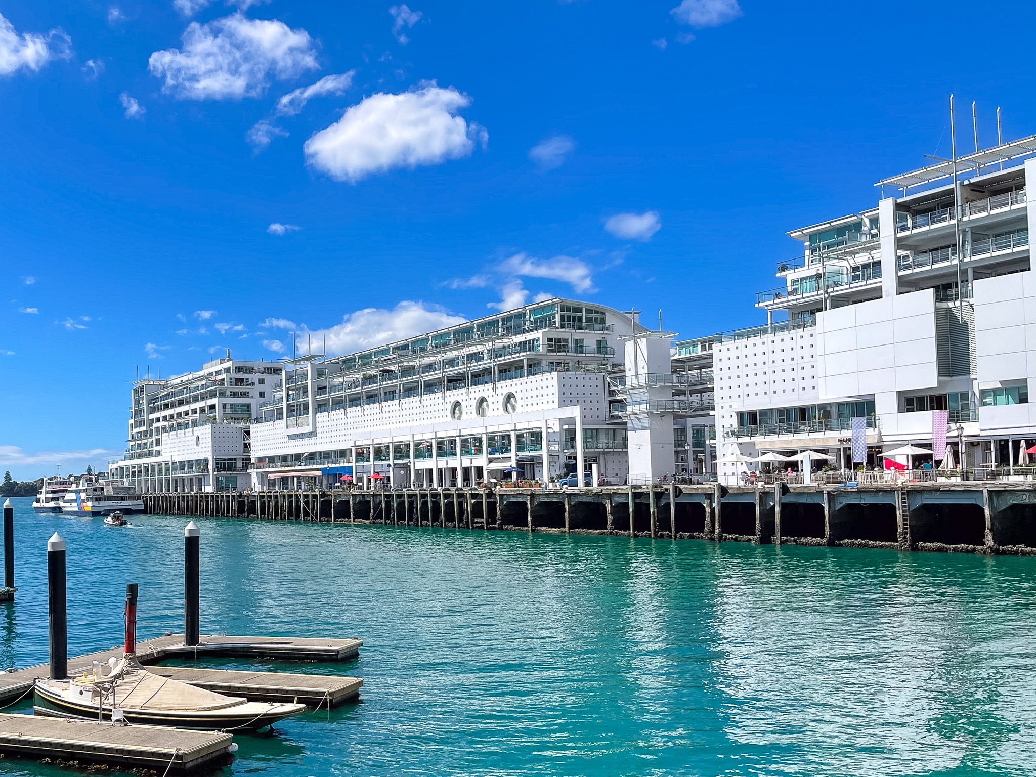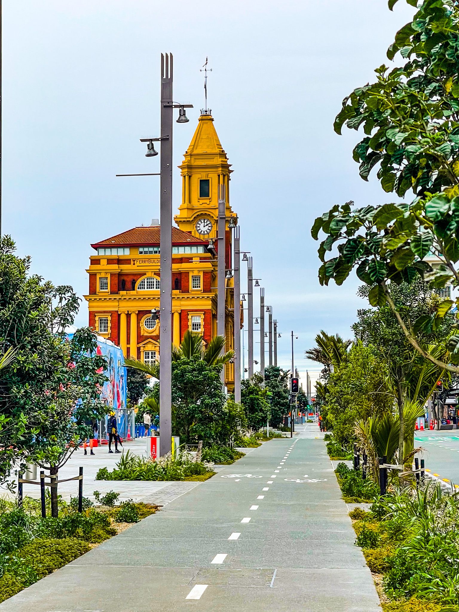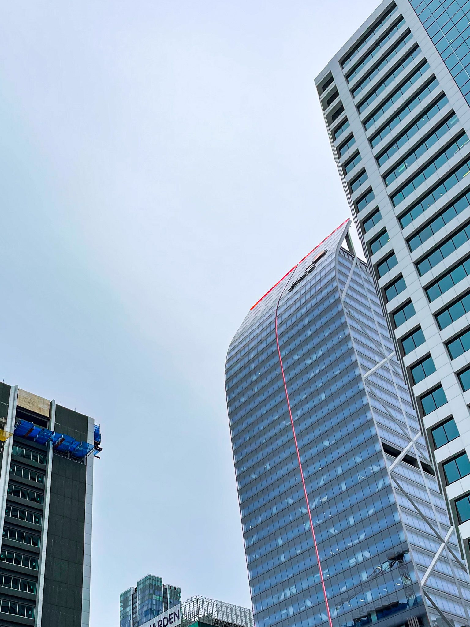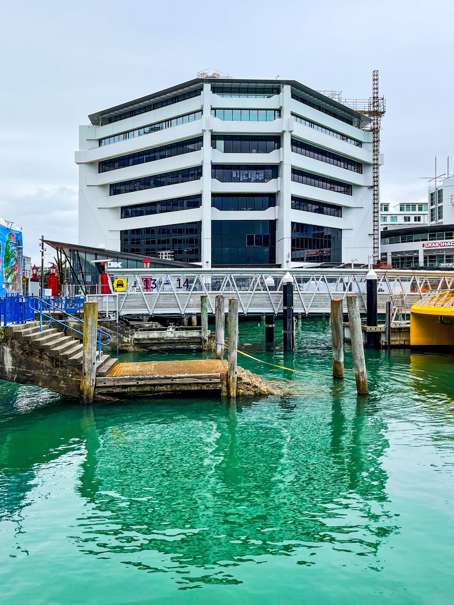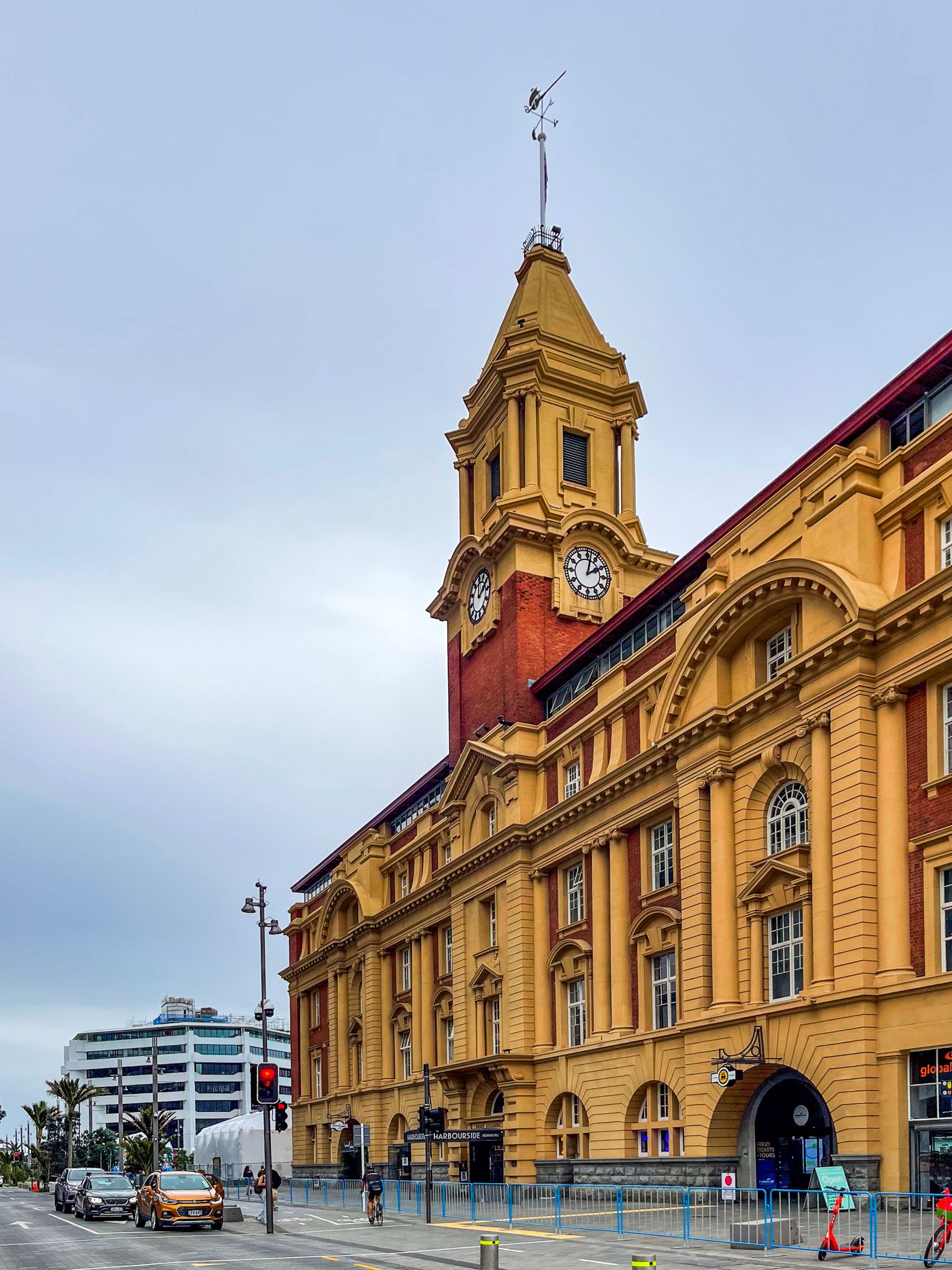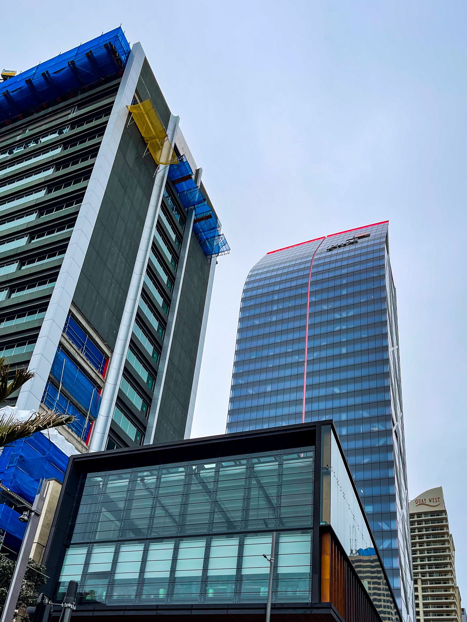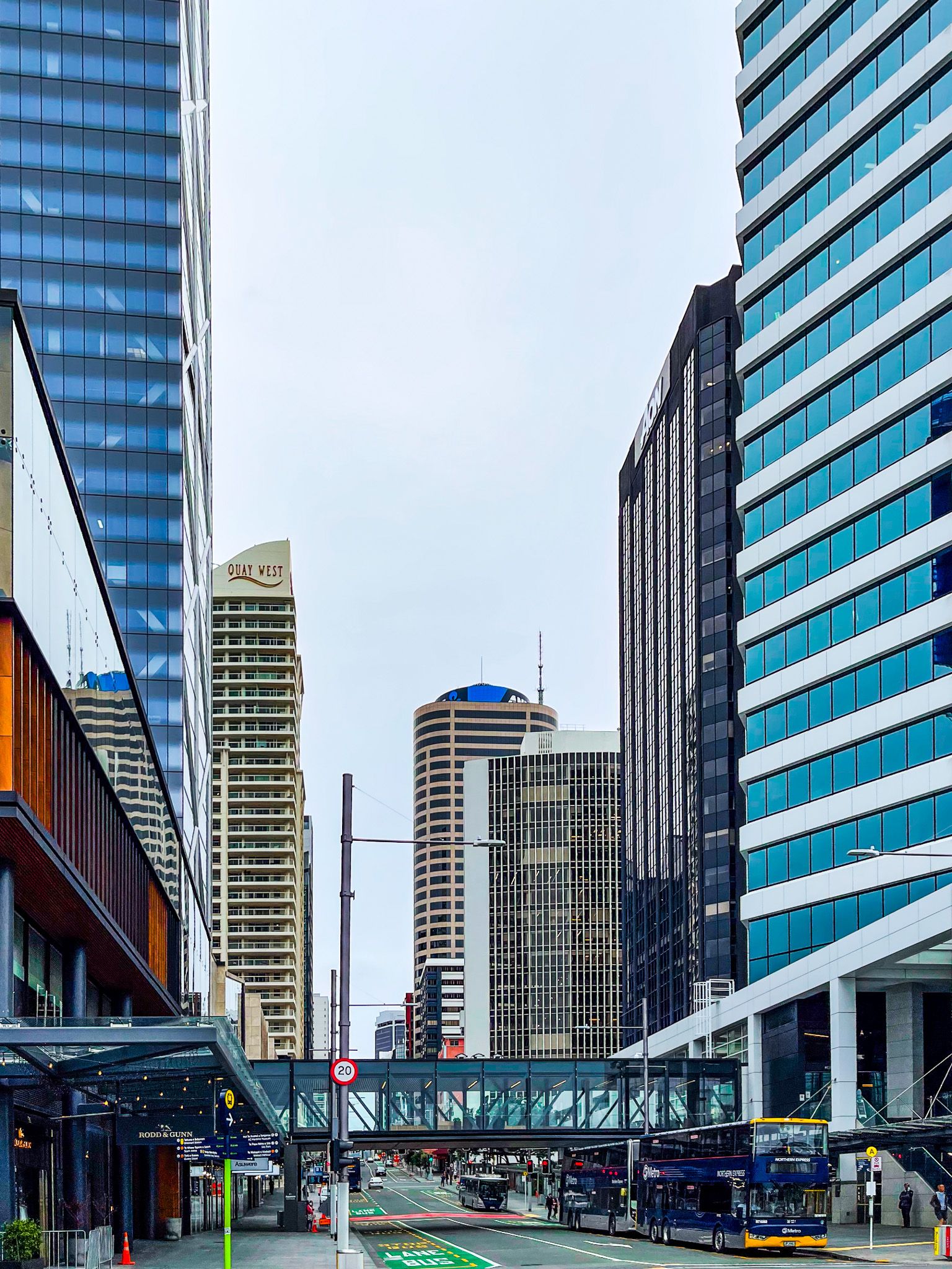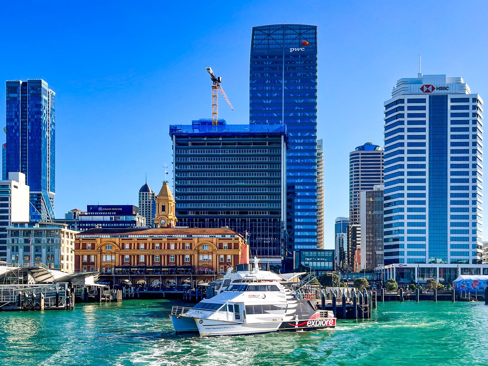
Commercial Bay sits between Lower Albert Street, Komititanga Paza, and Britomart Train Station at the north end of Queen Street in Downtown Auckland. Today, it incorporates a block of modern high-rise commercial buildings facing the Waitematā Harbour, with a large shopping mall and food hall on the lower floors. It is immediately opposite the historic Ferry Building and the main ferry wharves that service the harbour and Hauraki Gulf. To the west, between the Viaduct and Commercial Bay, is Princes Wharf, the main port of entry for cruise ships. Exploring the features of the bay should be part of any walk along the waterfront from Britomart.
Commercial Bay was the original European name for Onepanea, the bay west of Britomart Point / Te Rerenga Ora Iti, when Auckland was founded in 1840. The west side of the bay was marked by Smale's Point, which separated it from Freemans Bay. The bay’s name represented the first plan for Auckland, where it was to be the city's business district.
Queen Street was constructed from north to south along the valley next to the Waihorotiu Stream, which drained into Commercial Bay. The stream was covered, and by 1859, a seawall had been built from Fort Street to Customs Street East, straightening the previously curved coastline. From 1860 to 1920, the headlands on both sides of the bay were quarried for fill to expand the shoreline to Quay Street and develop the commercial waterfront. Freemans Bay ended up as an inland suburb of central Auckland, and the name Commercial Bay disappeared along with the bay. A plaque at the south end of Komititanga Paza marks the pre-Auckland coastline.
From 2010 to 2020, the area was completely redeveloped, and the name Commercial Bay was restored.