Discovering Lindis Pass
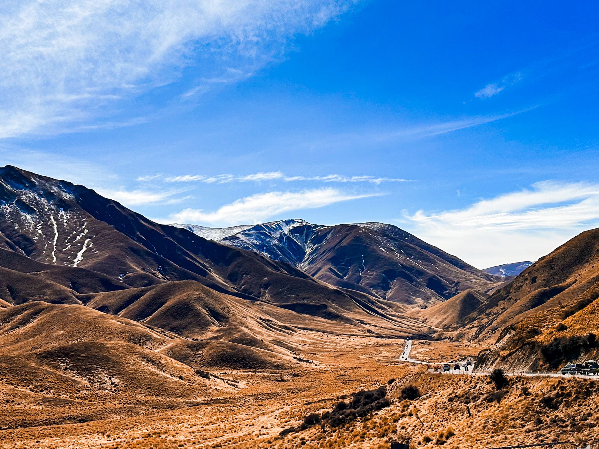
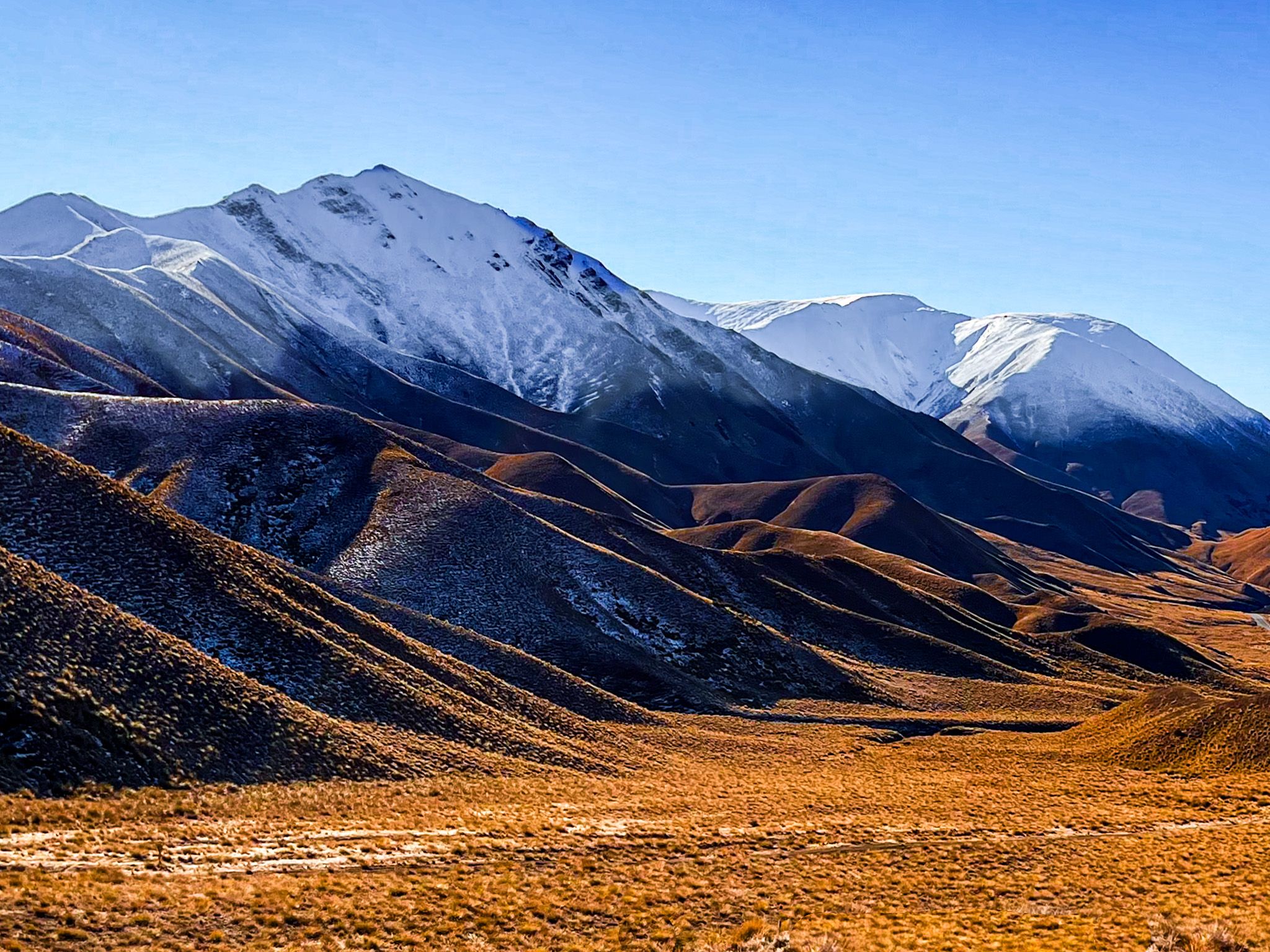
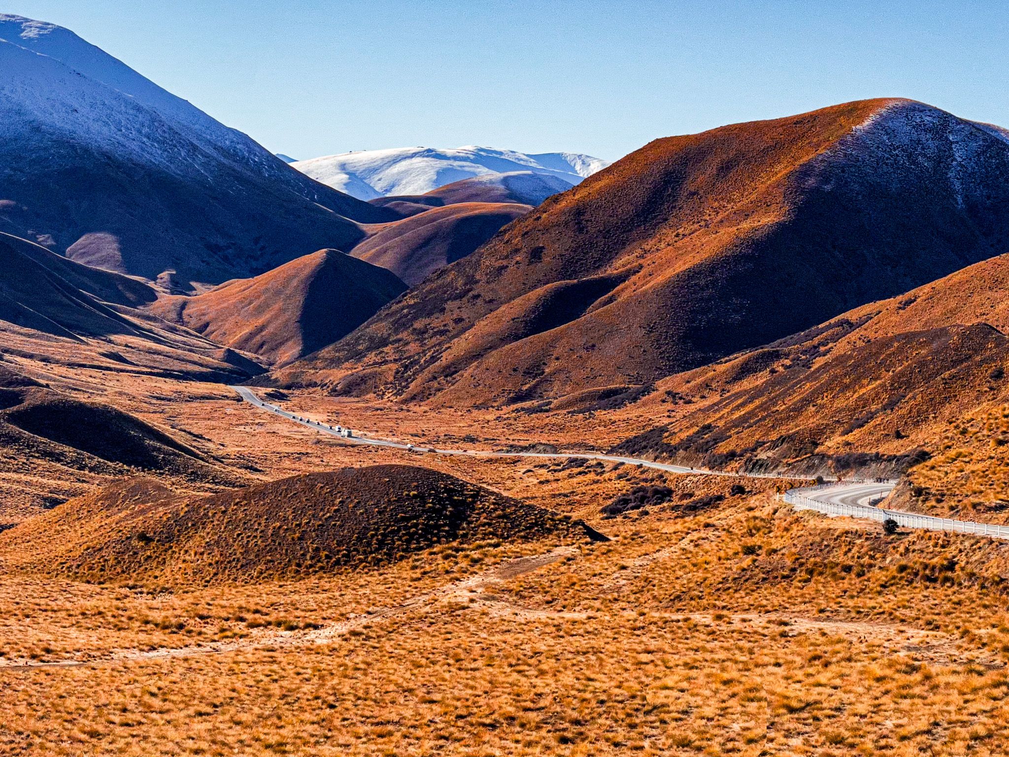
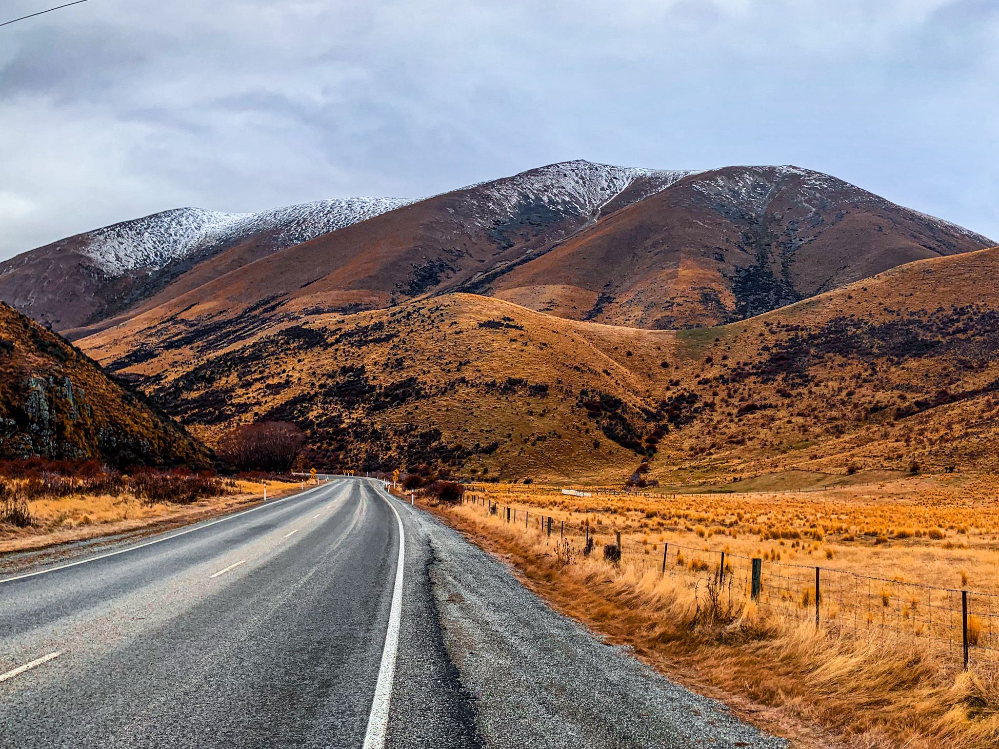
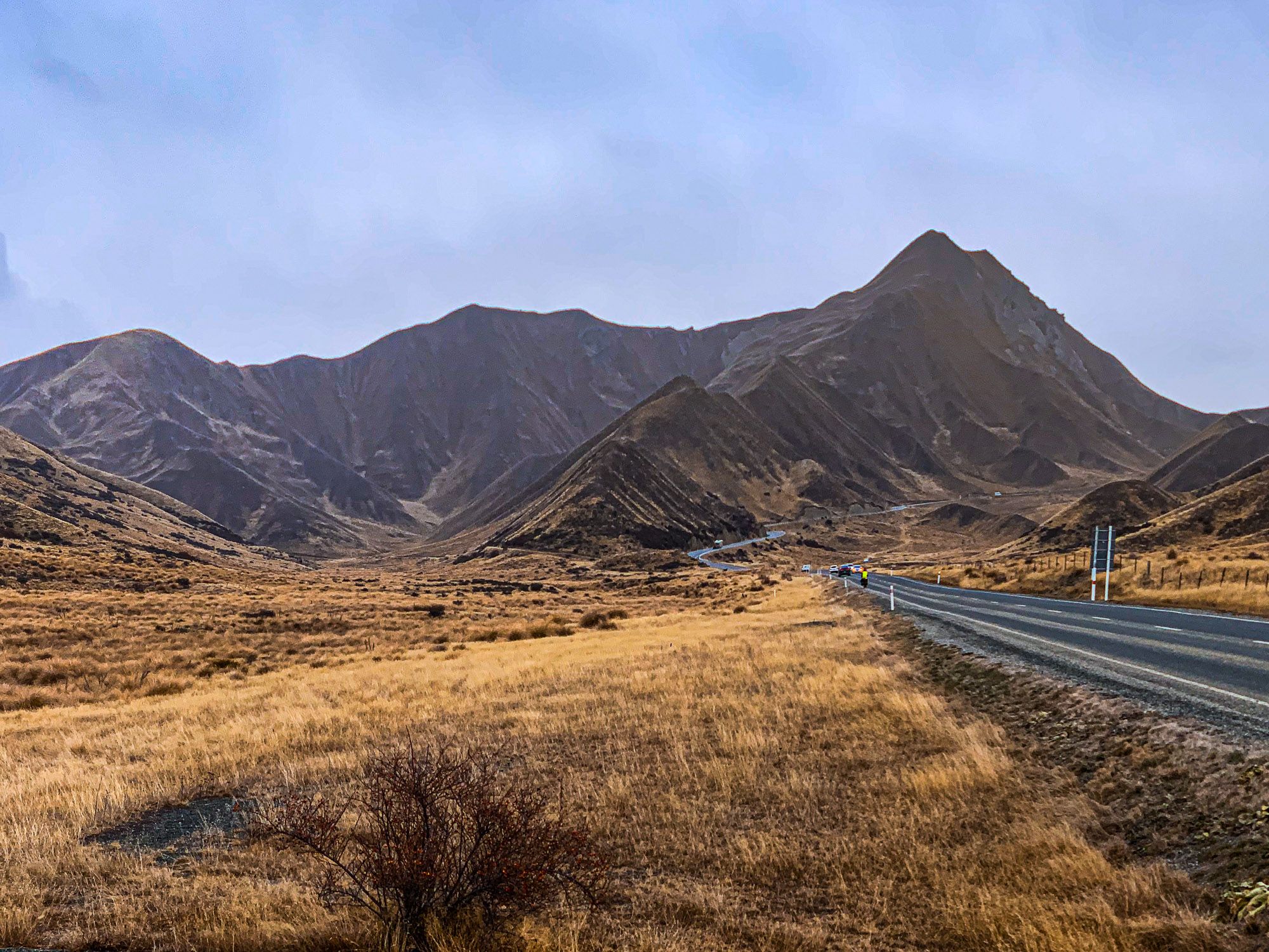
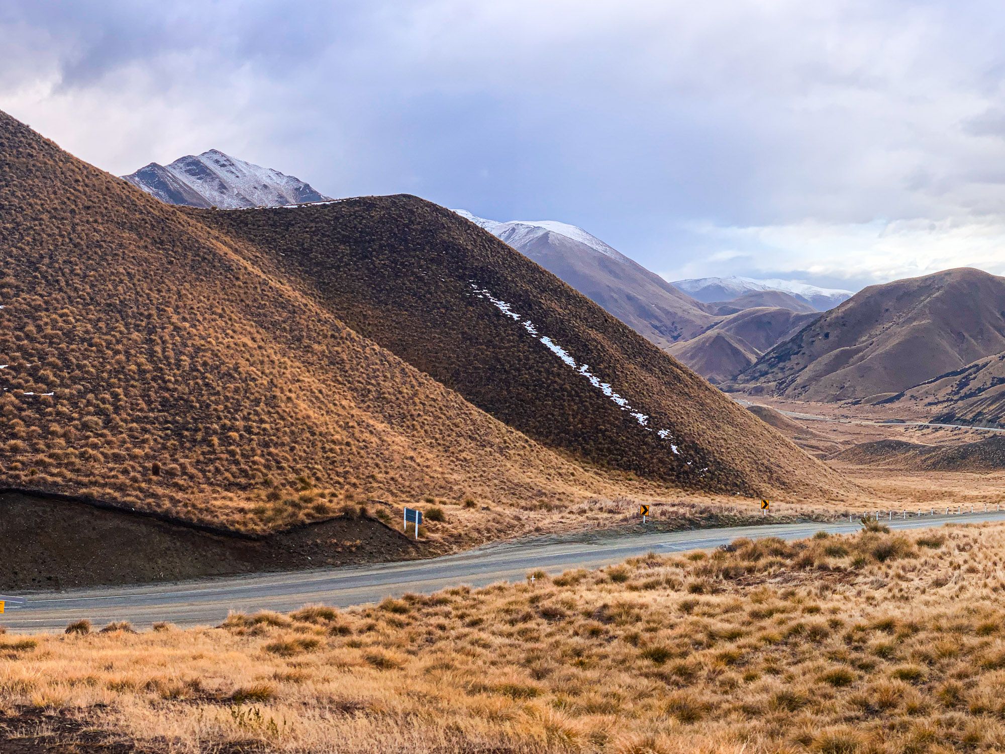
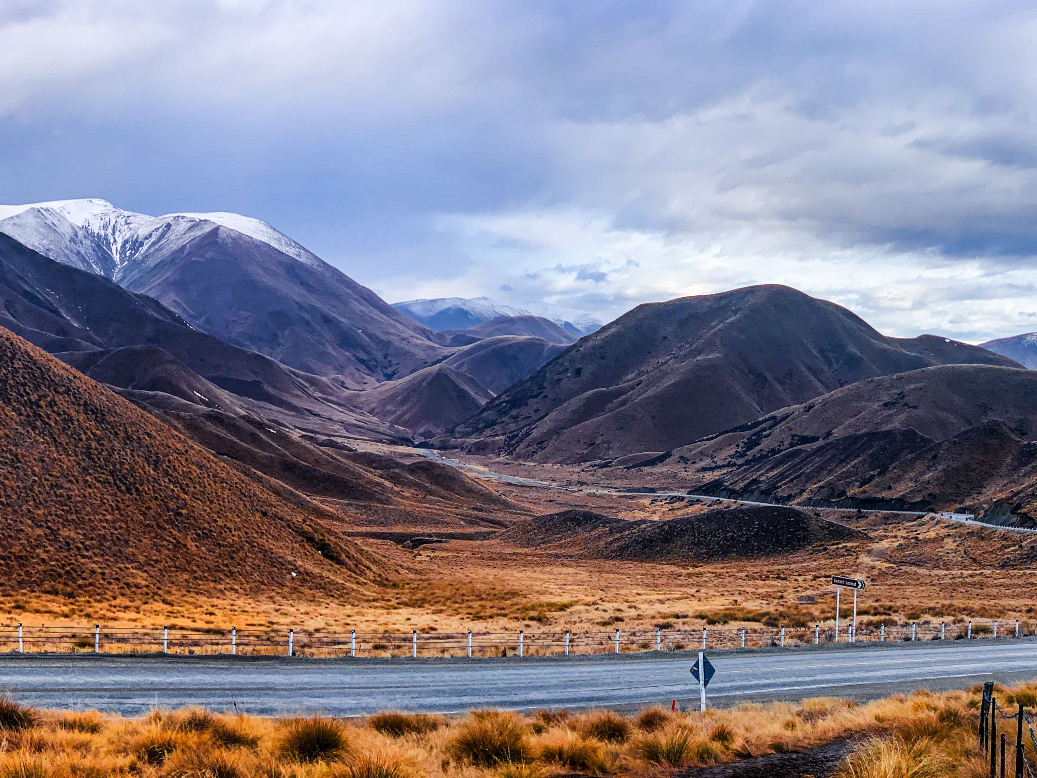
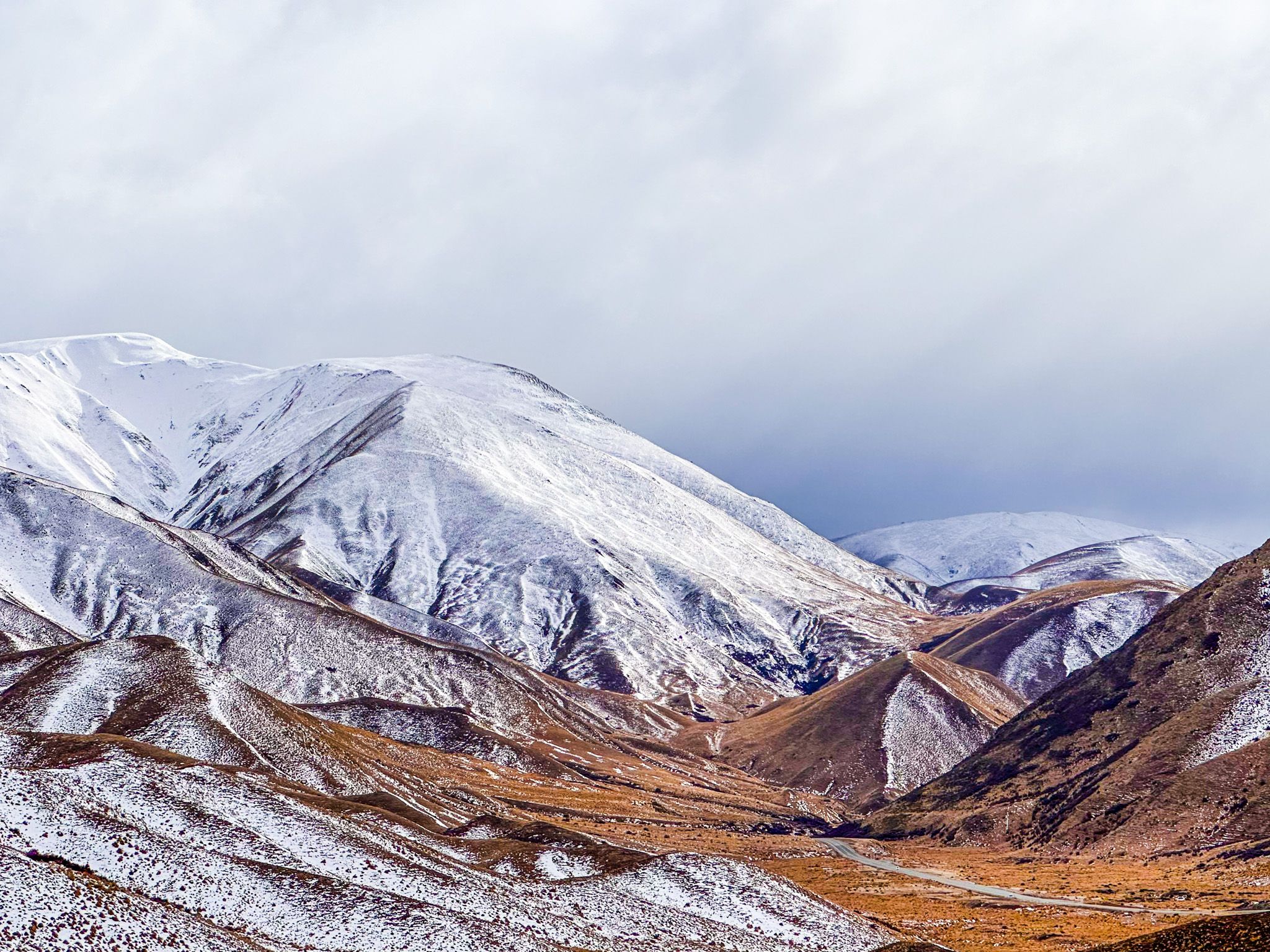
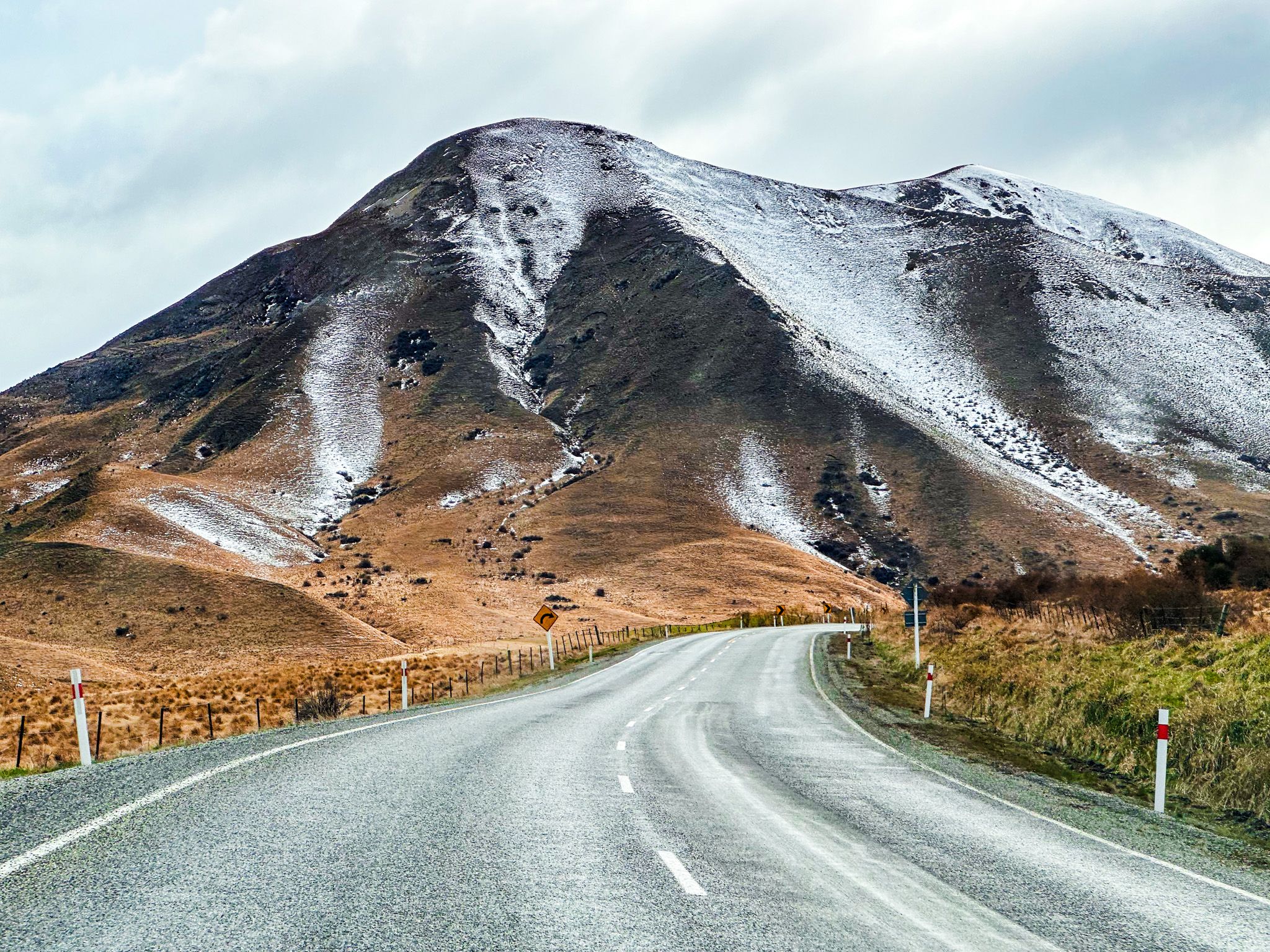
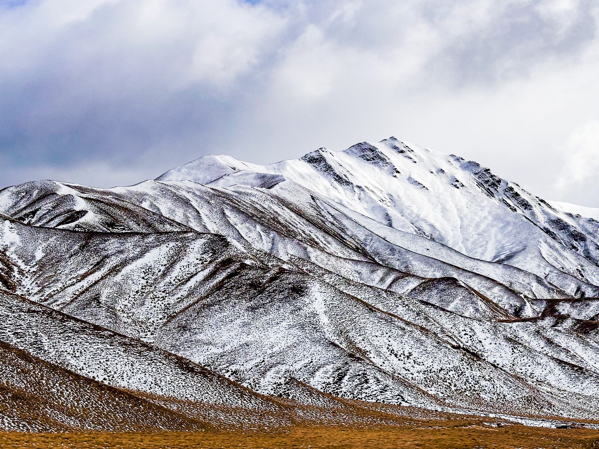
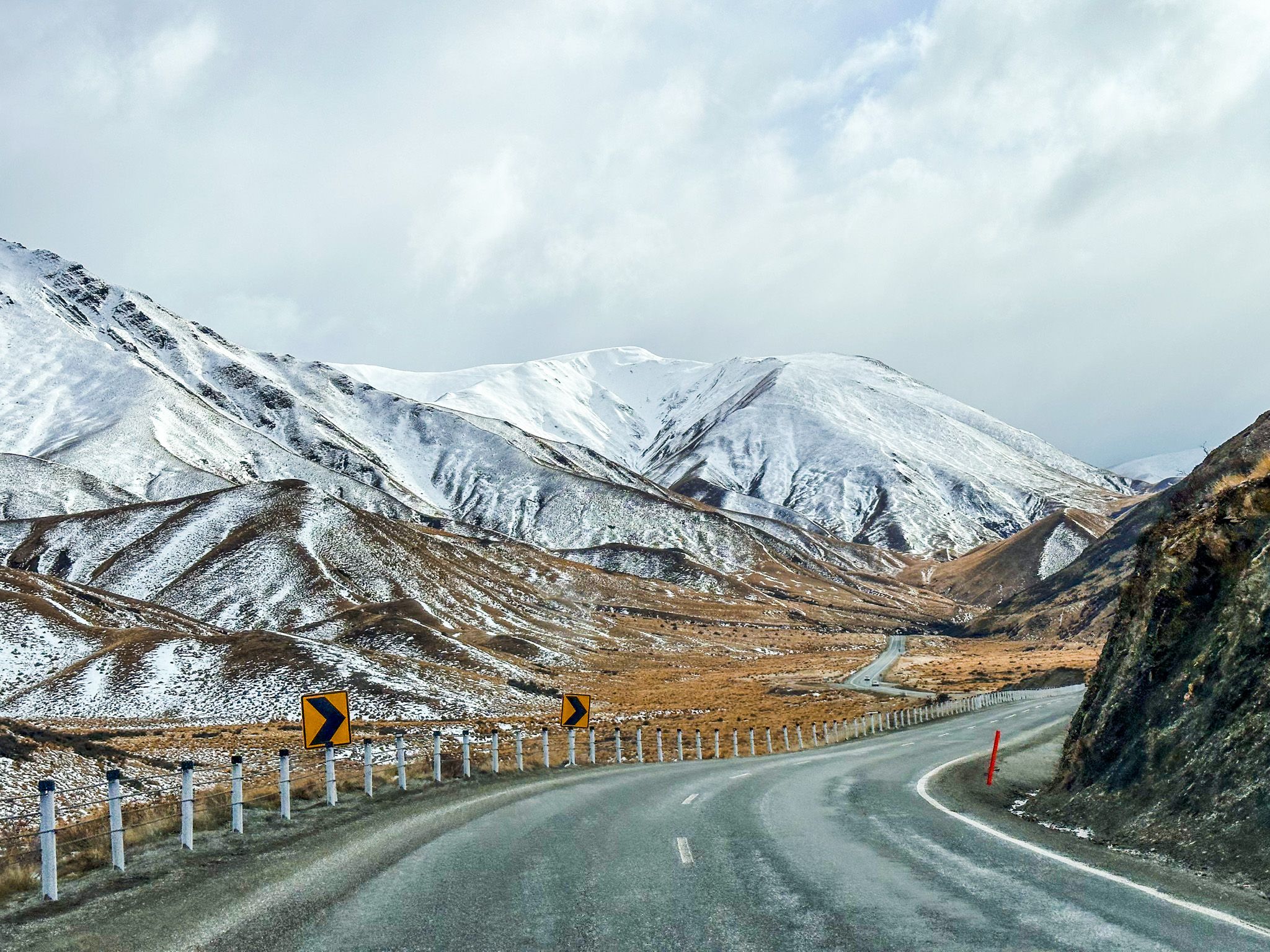
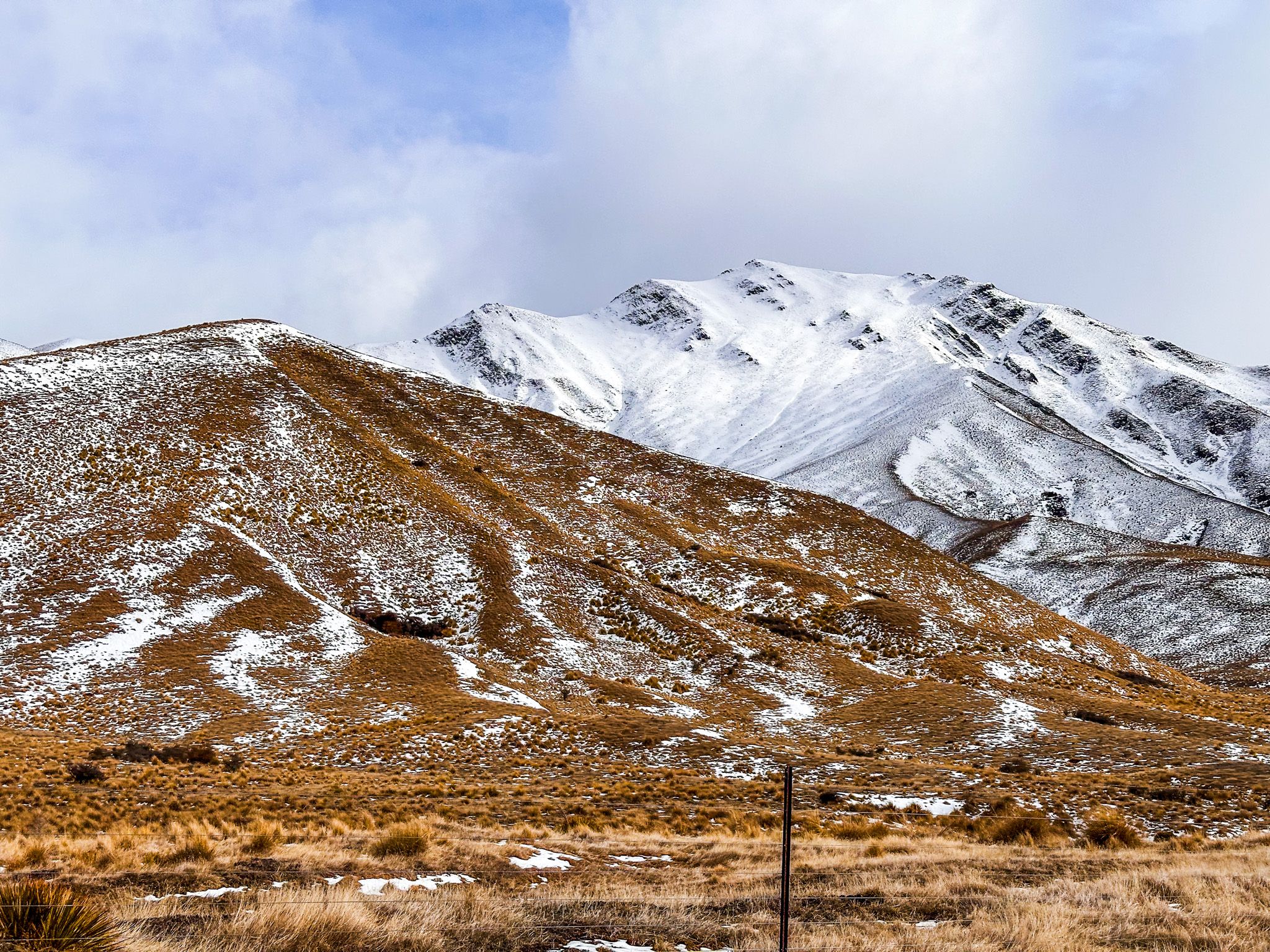
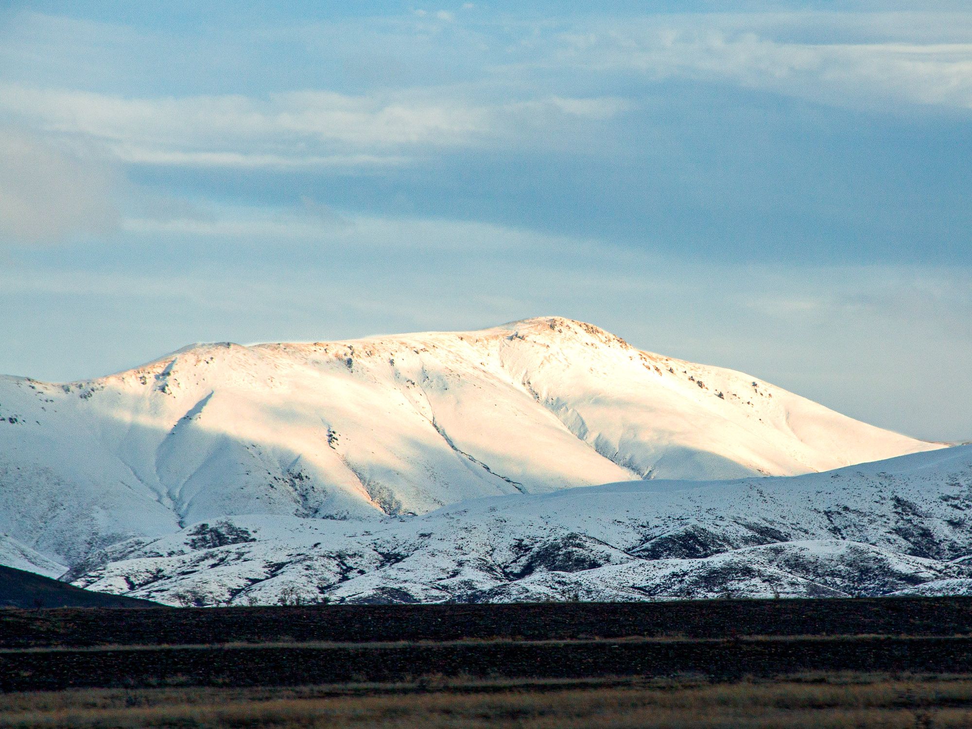
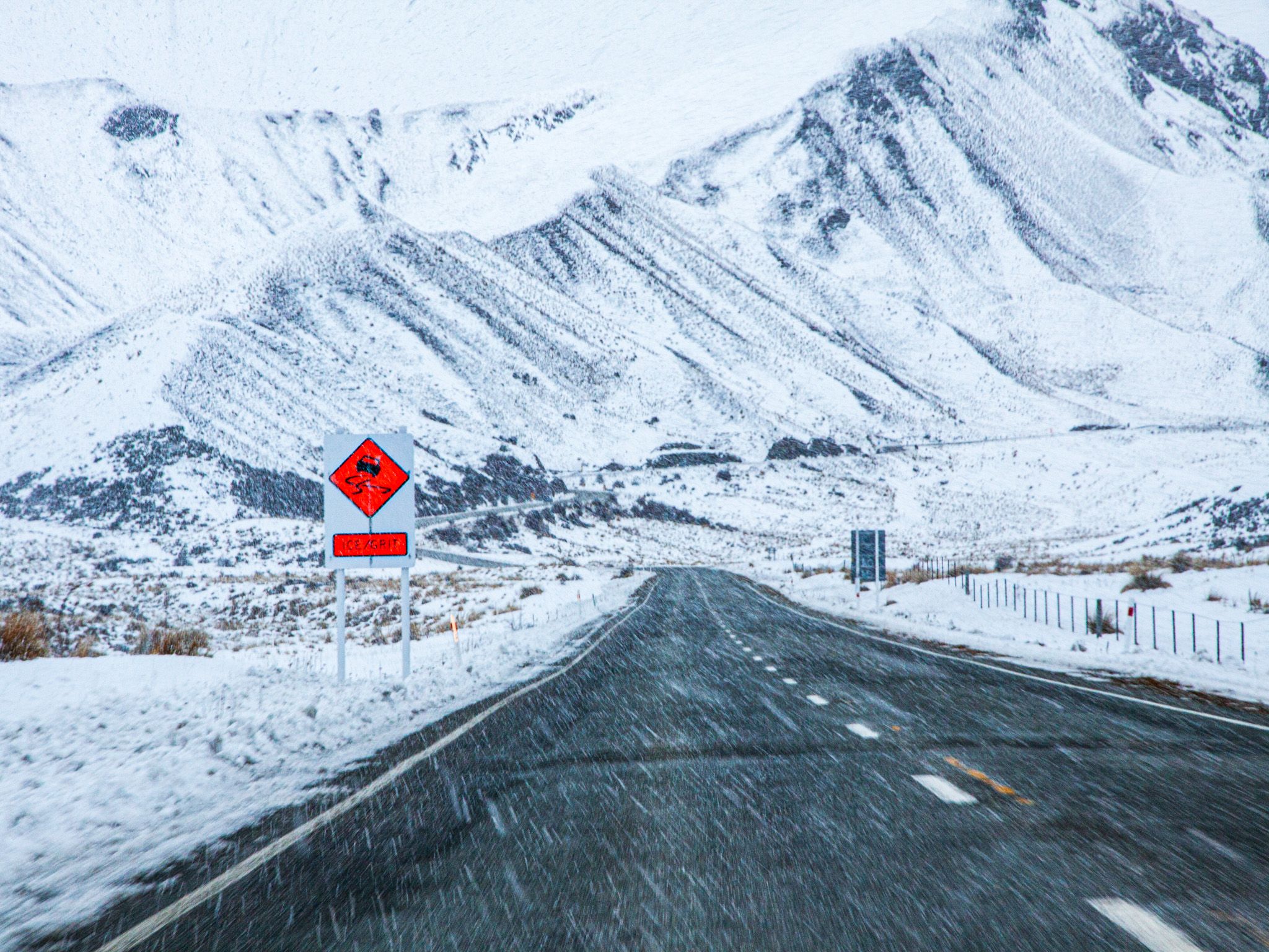
Lindis Pass, located in North Otago, is a striking example of the region's dry tussock highlands. Accessible via State Highway 8, it is the highest highway pass in the South Island, reaching an elevation of 971 metres. The pass is nestled between the Dunstan Range, which rises to 1,800 metres to the east, and lower peaks to the west. At its northern end, you will find the Mackenzie Basin. Snow on the road is possible from Autumn through Spring, but it is usually unaffected, making it a reliable route for travellers.
Scenic Views and Conservation Efforts
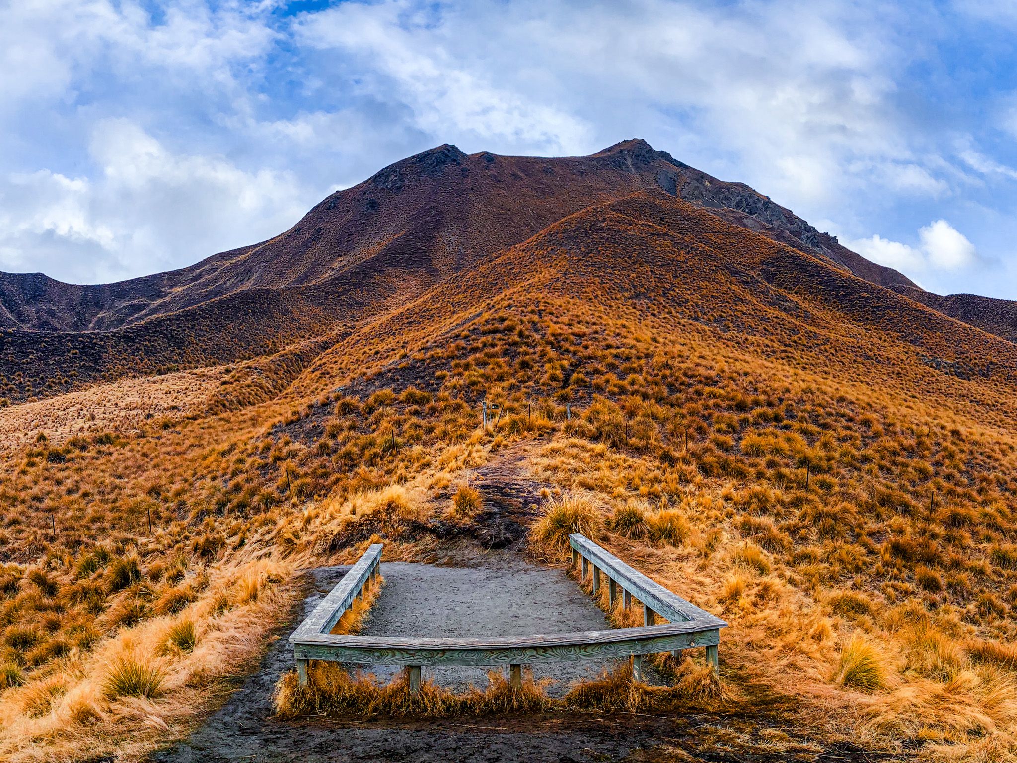
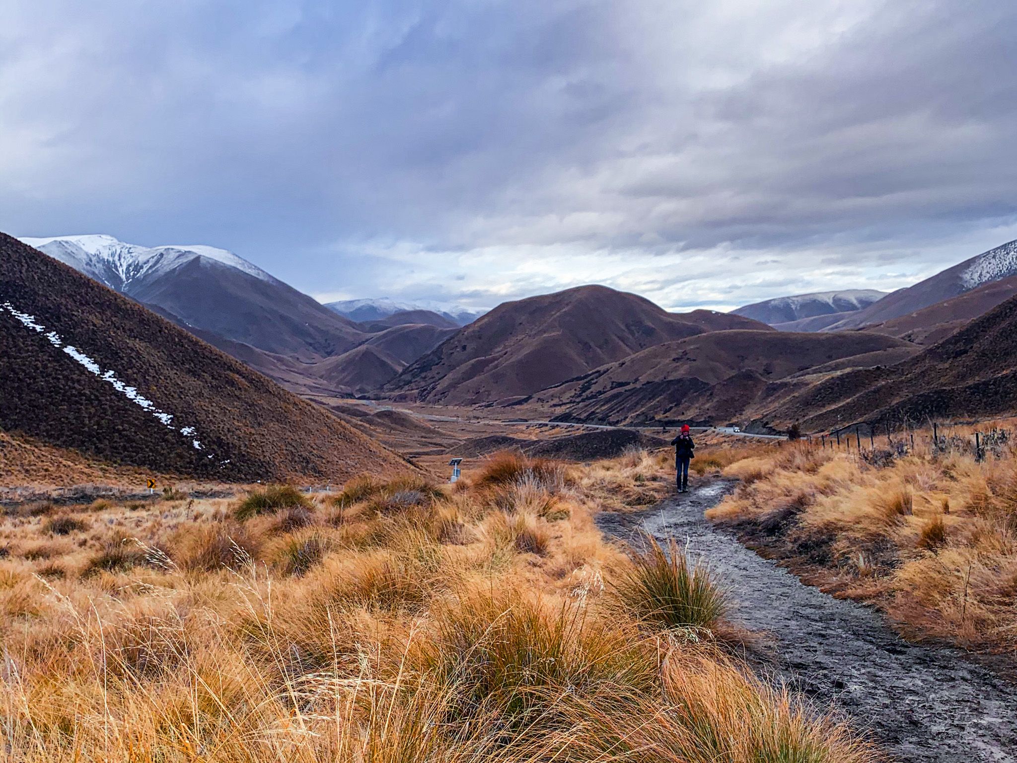
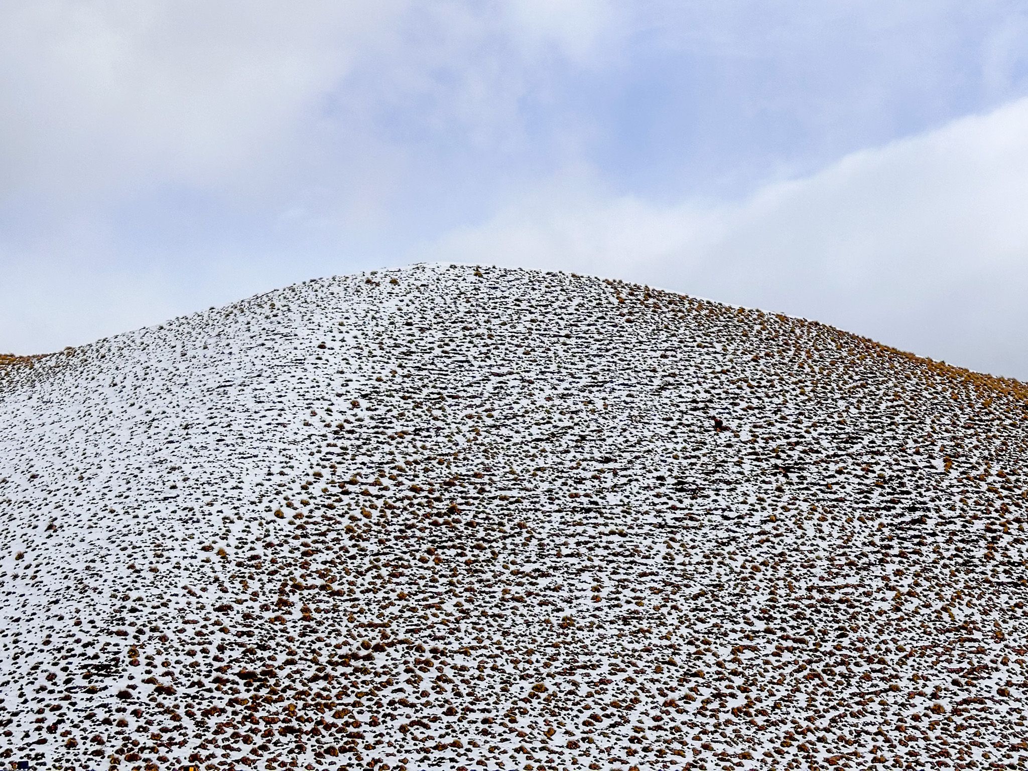
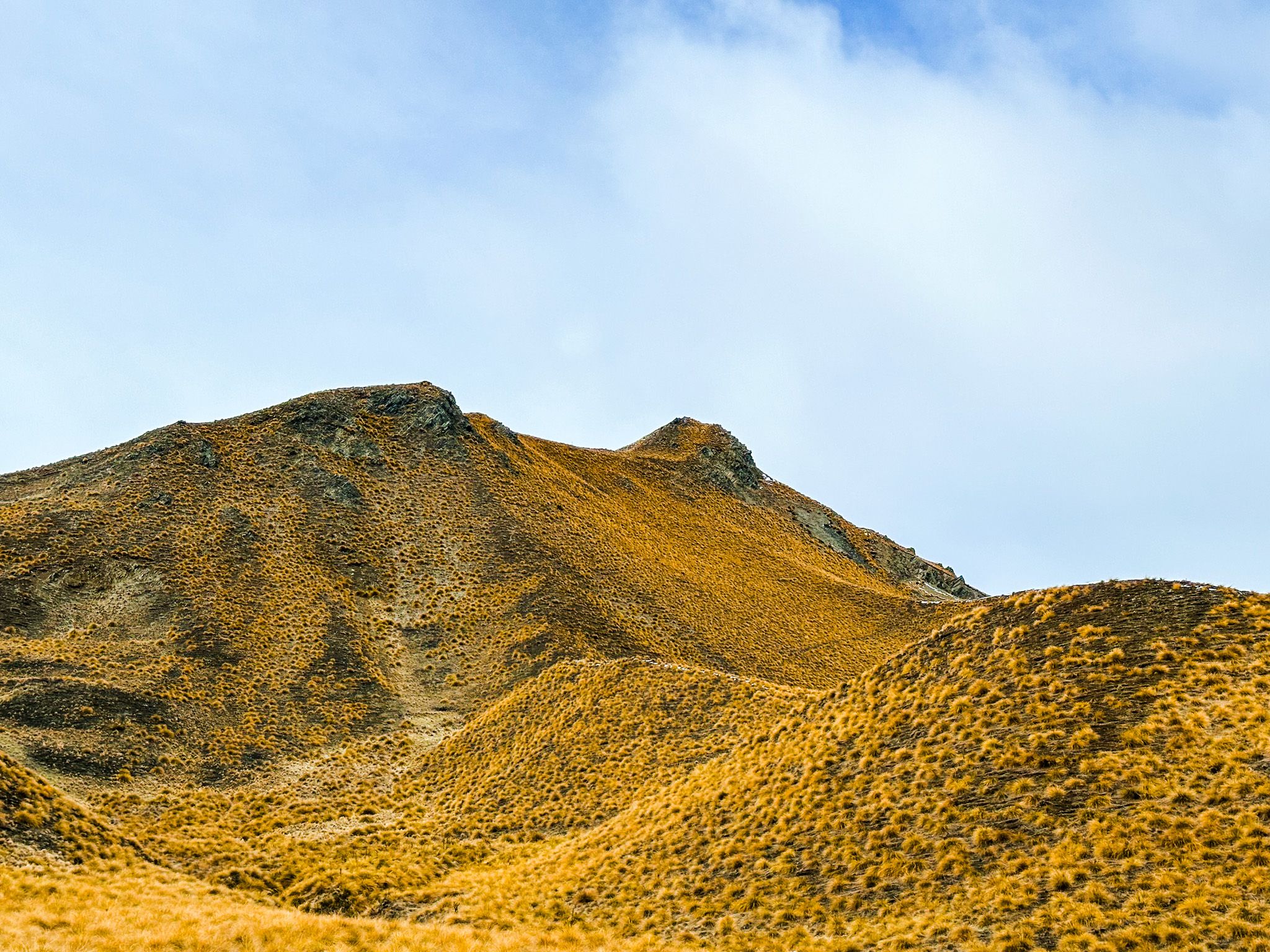
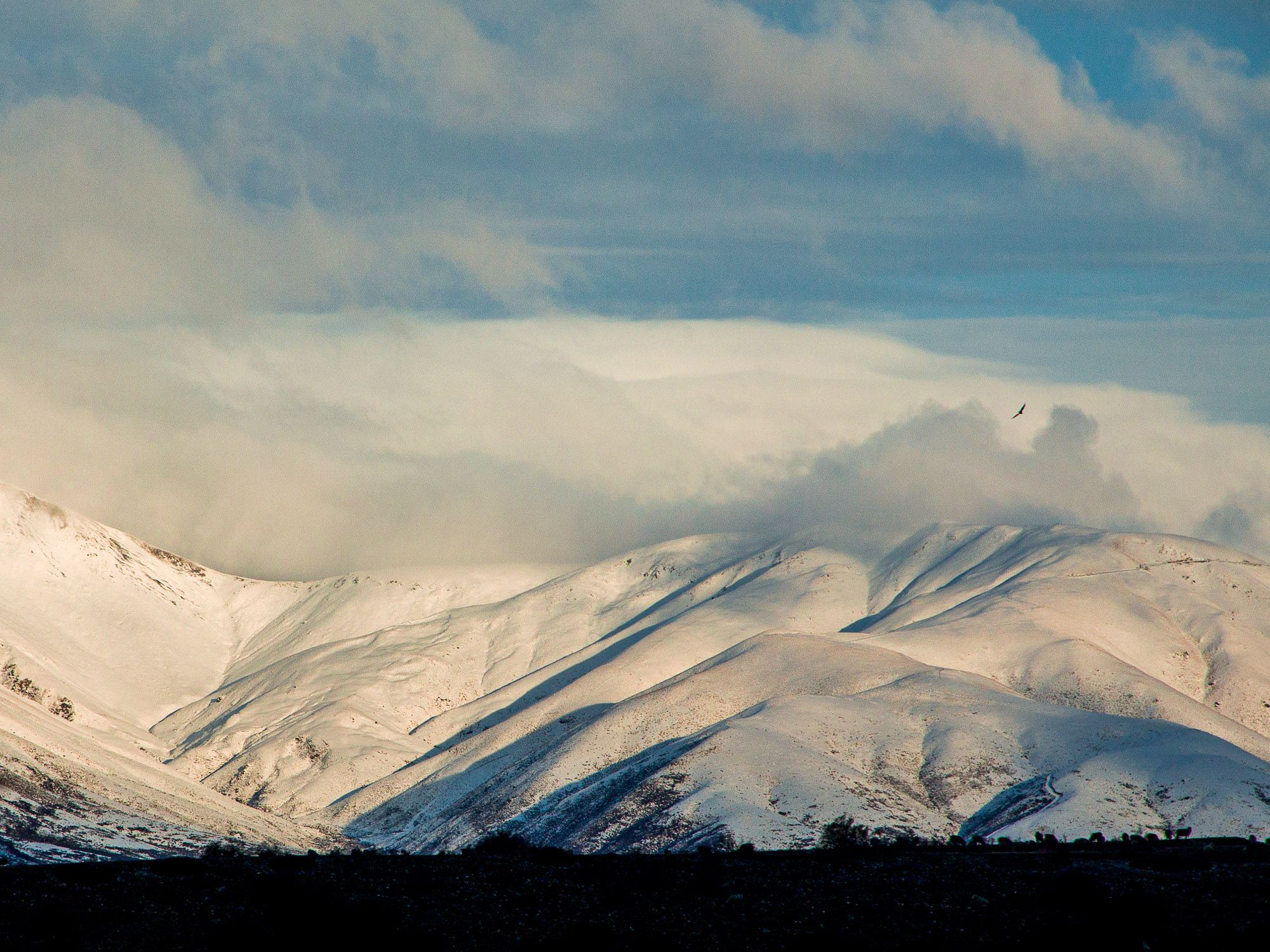
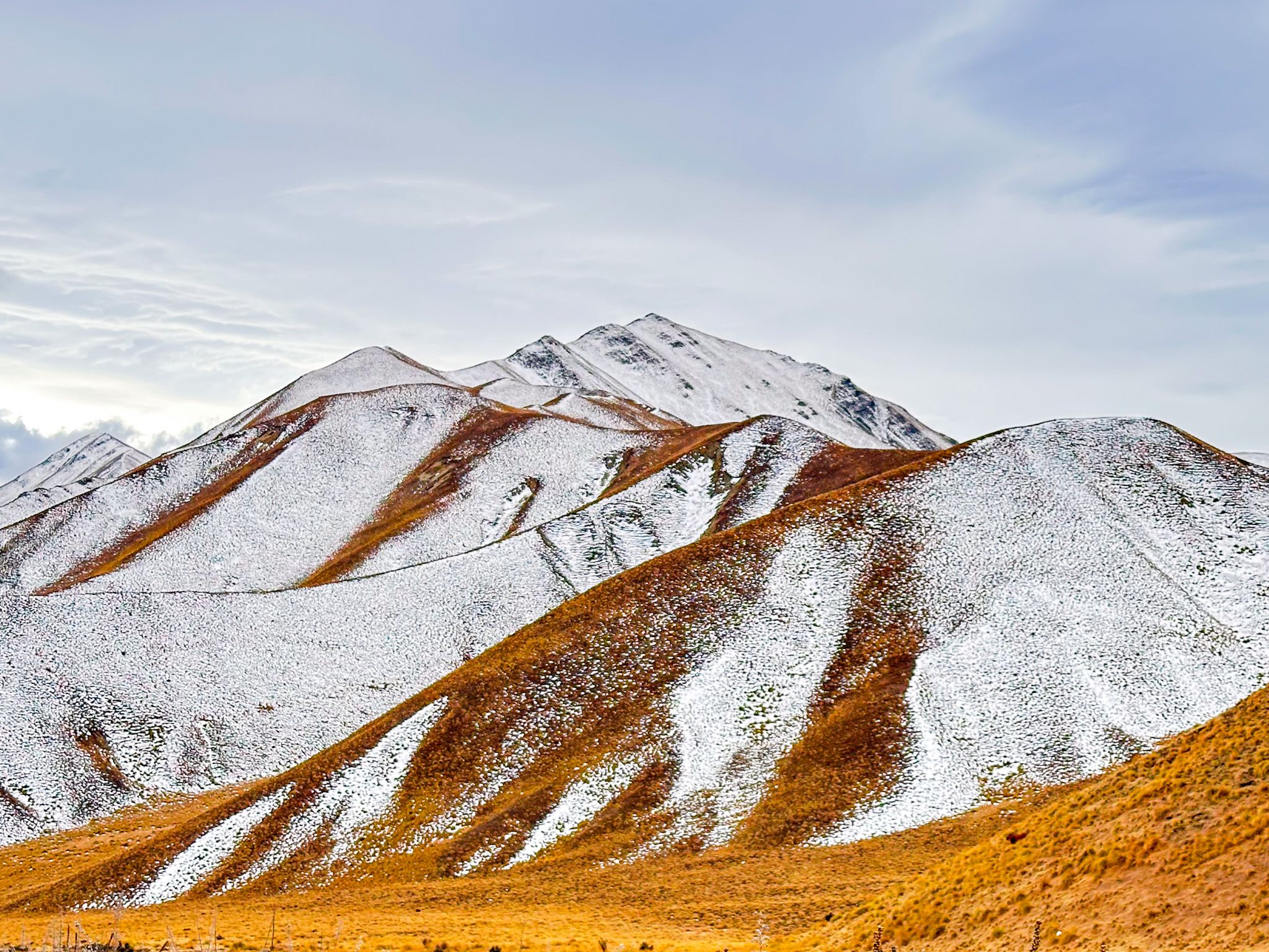
At the top of Lindis Pass, a large car park and a short walk to a viewpoint among the tussocks provide easy access to breathtaking vistas. The drive towards the pass from either direction is visually captivating, with the landscape's colours shifting from brown to gold to orange-red, depending on the light and time of day.
The pristine appearance of the area is due to its status as a protected reserve since 1975. The Lindis Conservation Group actively works to remove exotic weeds like rosehip, broom, lupins, and thistles, which are often prevalent in other highland areas of Otago and Canterbury.
Historical Significance and Māori Heritage
Historically, Māori referred to Lindis Pass as Okahu. It was part of a well-established trail known as Tahu-a-Arapaoa, which connected the East Coast via the Waitaki Valley, Lindis Pass, Lake Wānaka, and Lake Hāwea to the West Coast. Māori used this trail to collect pounamu (greenstone) and transport it back to the East Coast.
European Exploration and Gold Rush
In 1857, John Turnbull Thomson, the chief surveyor for Otago, became the first European to cross Lindis Pass. He named it after Lindisfarne Island in England, as a rocky outcrop reminded him of the island. Thomson also named the Lindis River, Lindis Valley, and Lindis Peak during his exploration. The pass later became a route to a short-lived gold rush on the Lindis River at Goodger Flat, now part of Nine Mile Reserve.
How to Get There
To reach Lindis Pass, travel along State Highway 8, which connects the towns of Cromwell and Omarama.
At the Comwell end, you can discover Lake Dunstan, Bendigo and Tarras. Once you enter the Mackenzie Basin, the Ahuriri Valley is immediately to the north, and it is a moderate drive to the Clay Cliffs and Lake Ōhau.