Ahuriri River: A Fly Fishing Haven
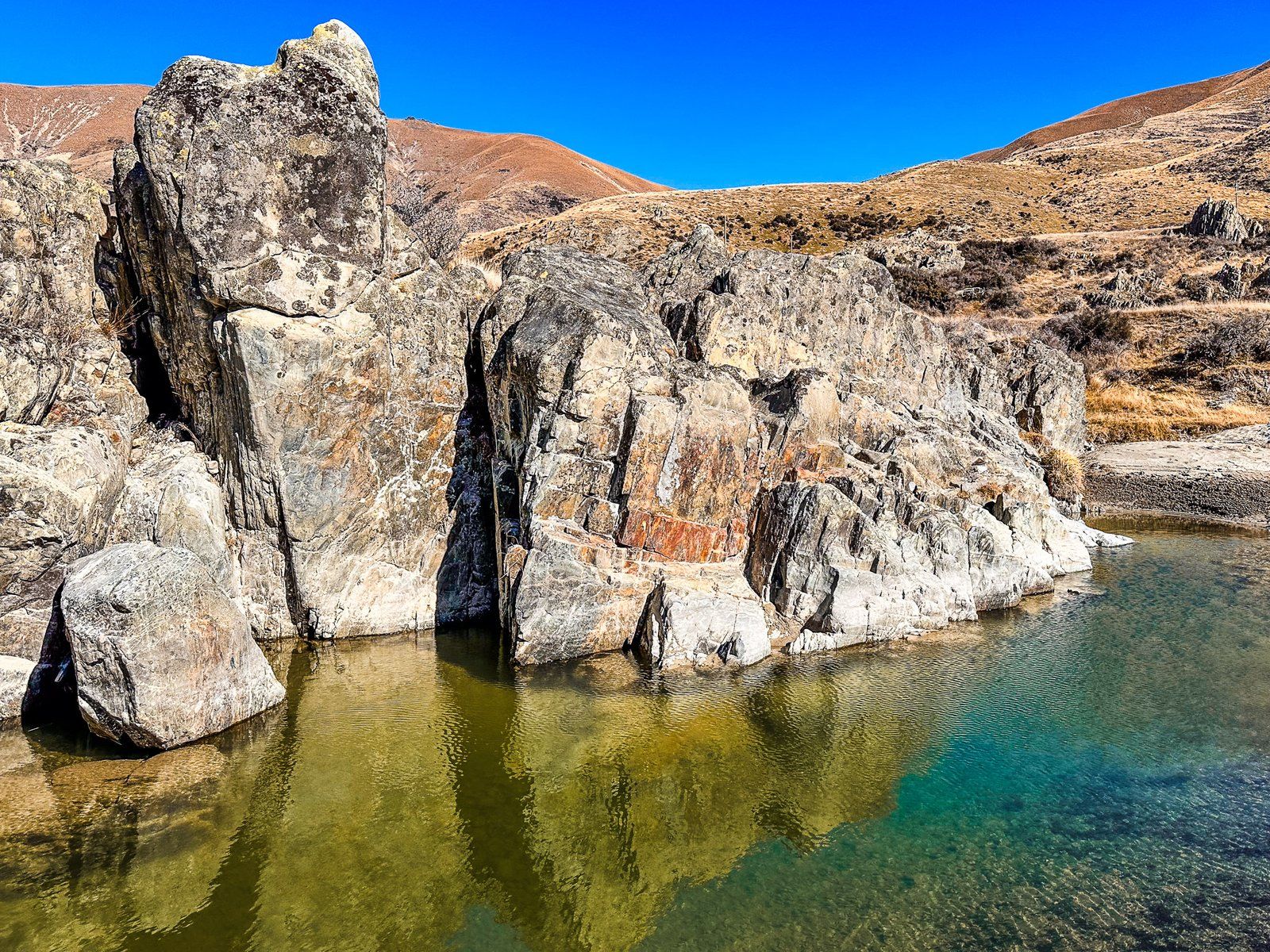
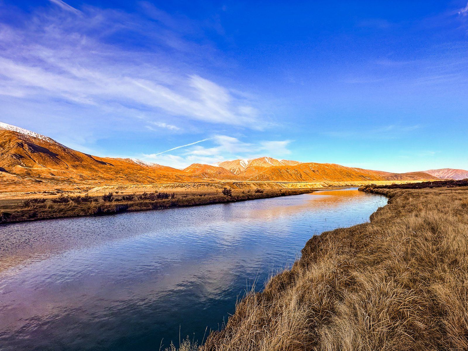
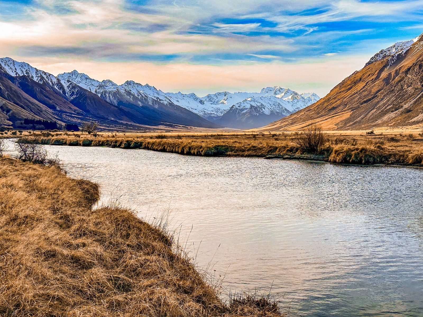
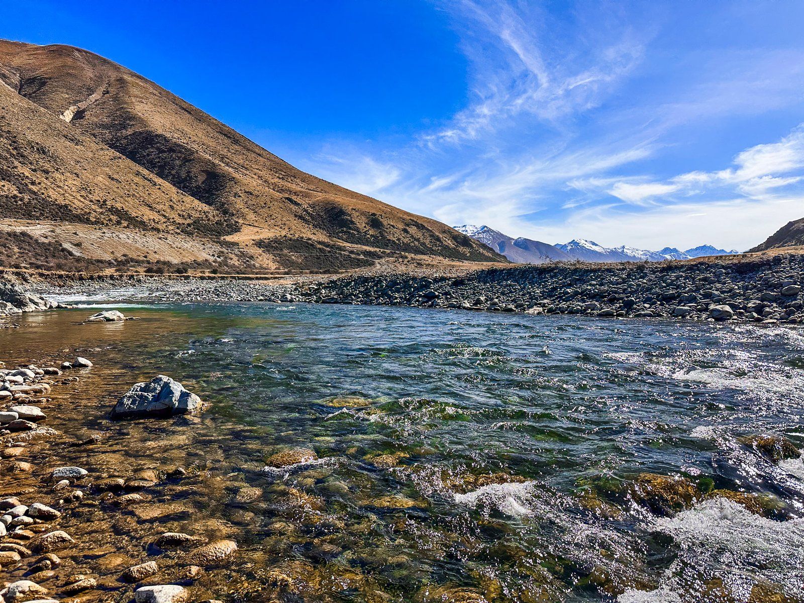
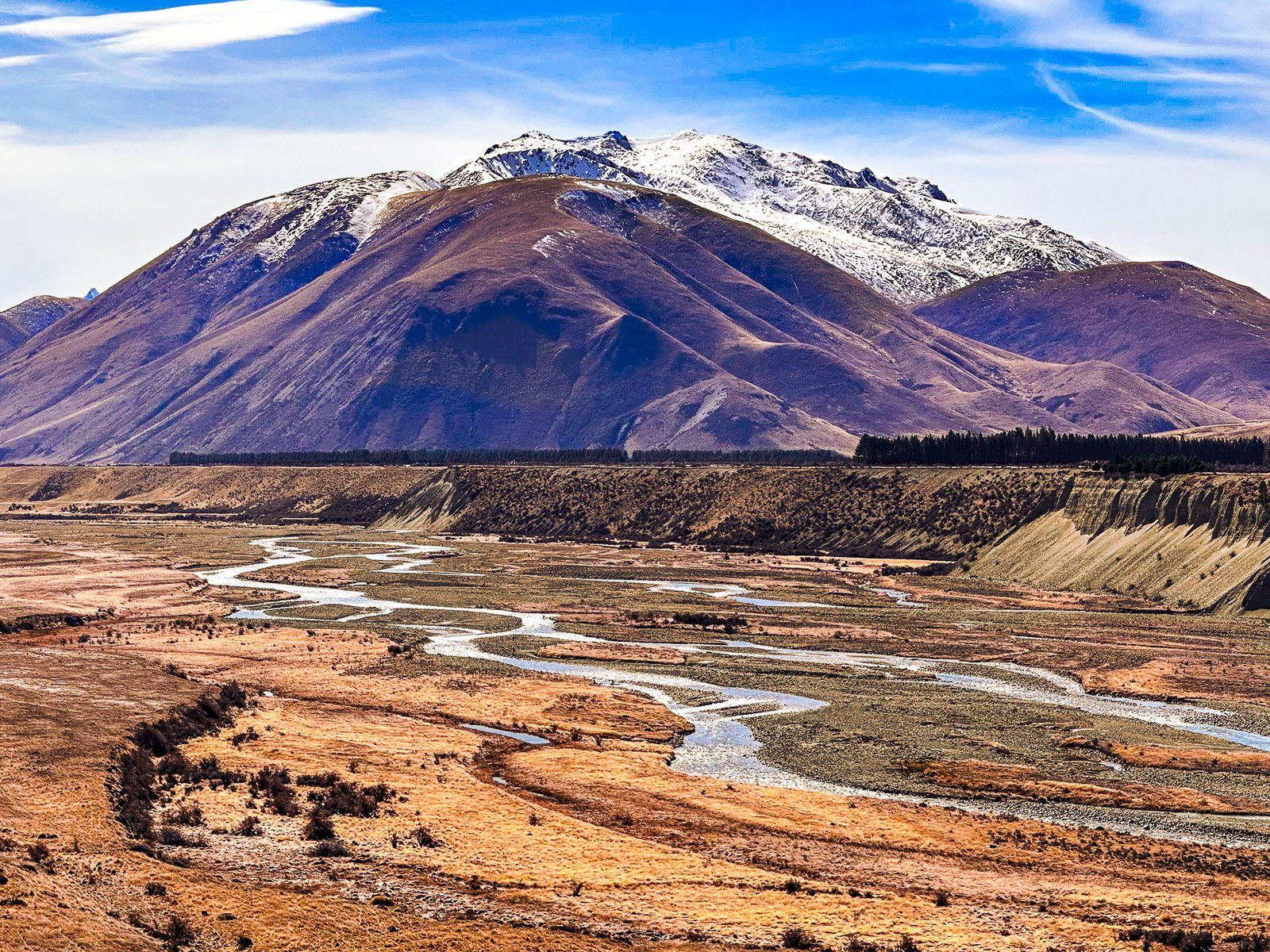
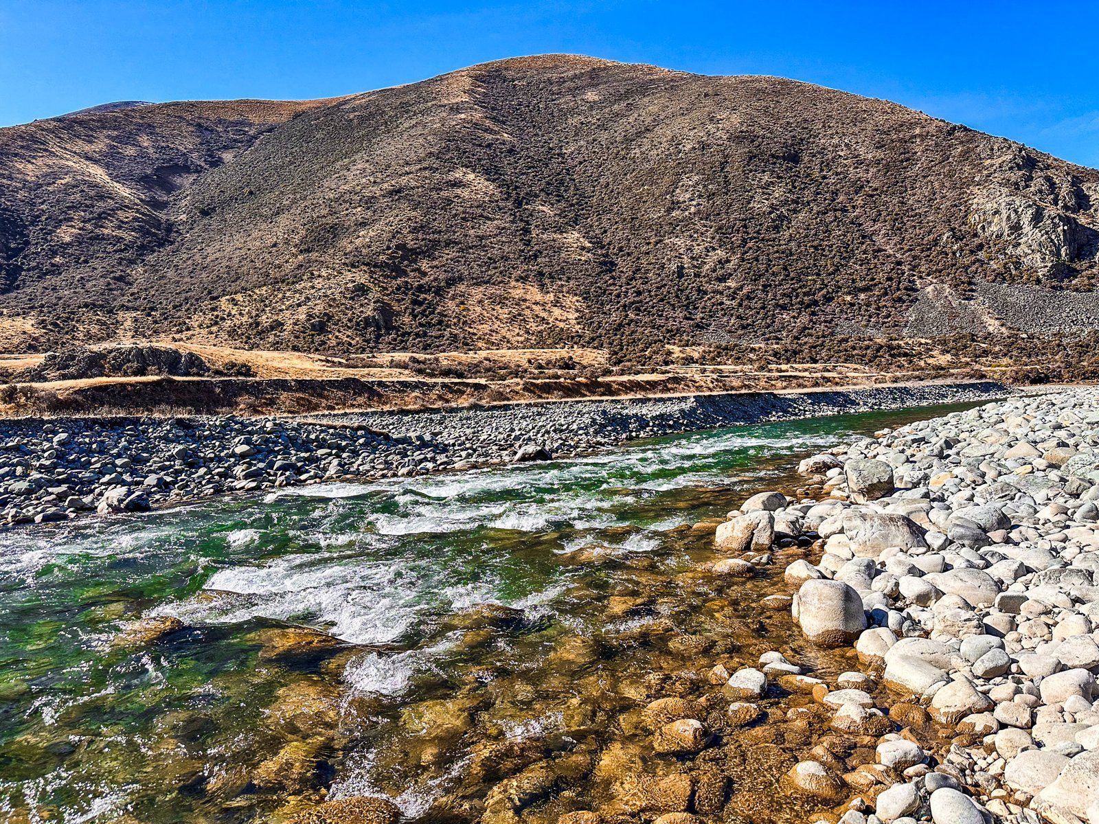
The Ahuriri River, flowing through the Canterbury and Otago Regions of New Zealand's South Island, is a prime destination for fly fishing enthusiasts. Originating below Mount Huxley's glaciers in the Ahuriri Conservation Park, the river is known for its high water quality, making it an excellent spot for catching brown and rainbow trout.
Geographical Journey of the Ahuriri River
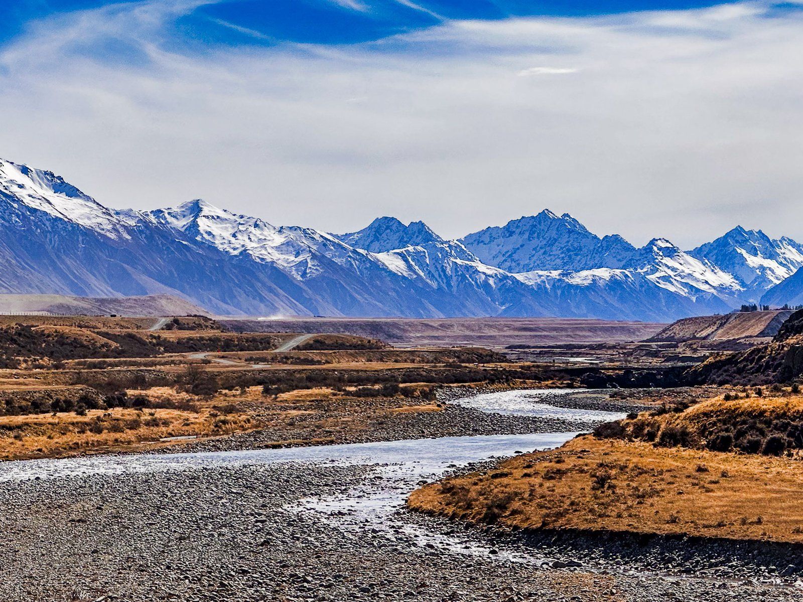
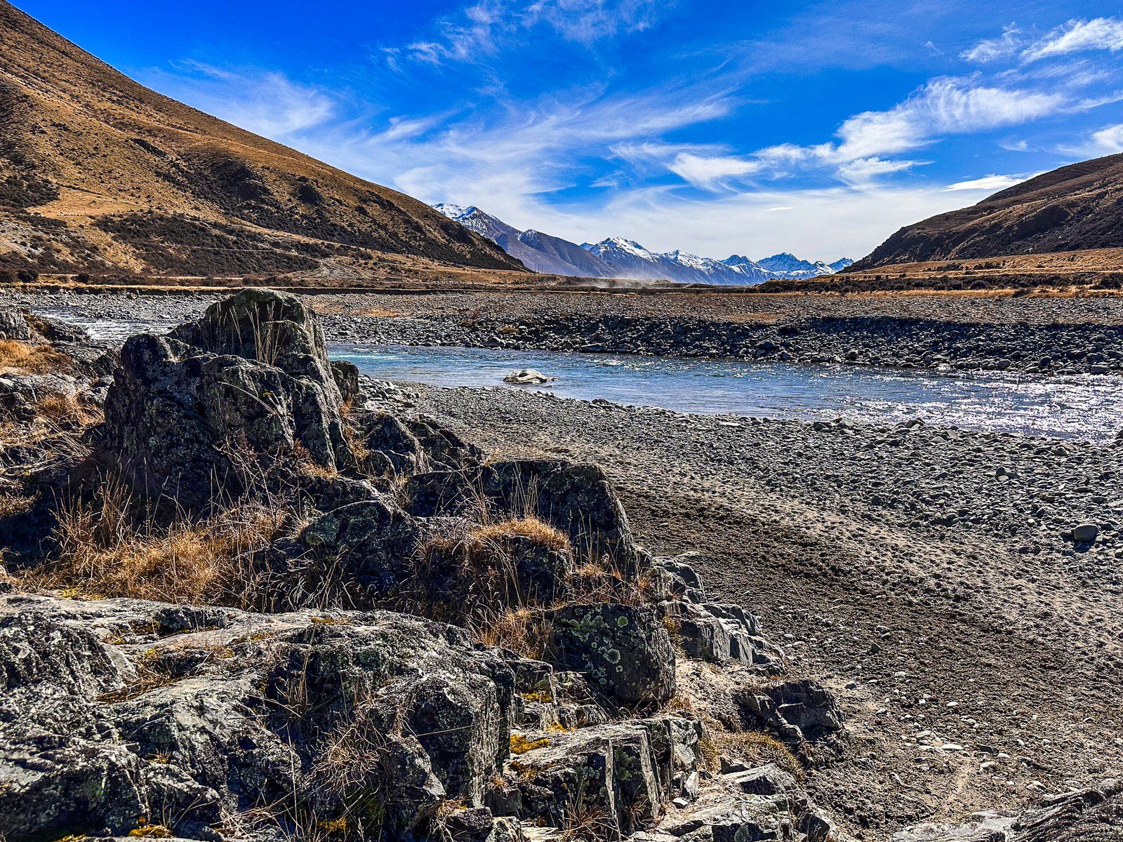
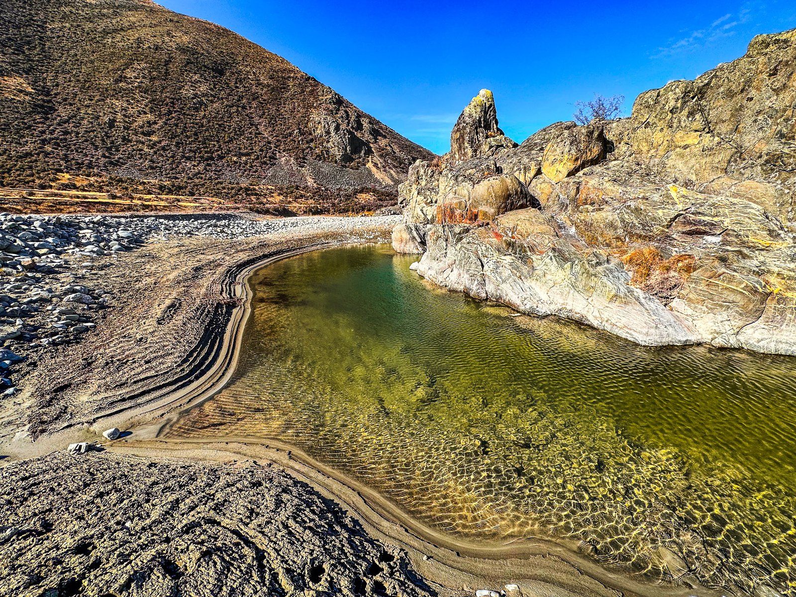
The river travels approximately 55 km down the Ahuriri Valley, eventually reaching the southern end of the Mackenzie Basin near Omarama. It then continues for about 15 km to the western arm of Lake Benmore, located at the head of the Waitaki Valley and hydro scheme. Along its course, the river transitions from a braided river to a narrow gorge at the Ireland Road Bridge. It supports the Ben Avon Wetland midway through the valley.
Scenic Highlights and Natural Features
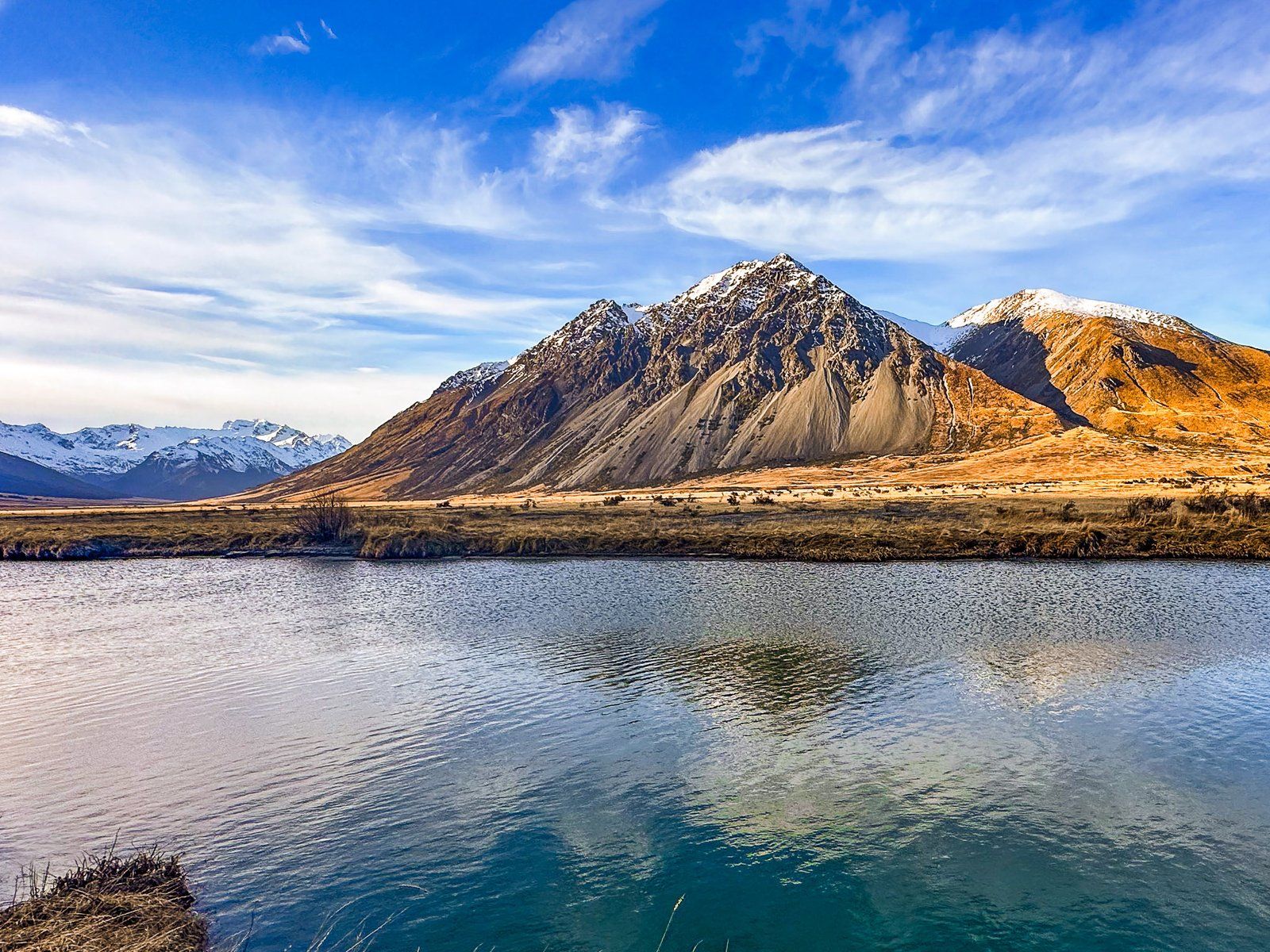
The Ahuriri River's landscape is diverse, offering a range of scenic views. About eight km along Birchwood Road from State Highway 8, you can witness impressive gravel river terraces carved from a 20,000-year-old glacial moraine. The river's north bank, west of Omarama, is home to the famous Clay Cliffs.
Access Points and Fishing Spots
There are several convenient access points to the Ahuriri River from Birchwood Road in the Ahuriri Valley. Notable spots include the start of the road, the Ireland Road Bridge, and just past the Ben Avon Wetlands on the border of Ahuriri Conservation Park. These locations provide excellent opportunities for fishing and enjoying the river's natural beauty.
How to Get There
To reach the Ahuriri River, head towards the Ahuriri Valley via Birchwood Road, which is accessible from State Highway 8, between Omarama and Lindis Pass.
Other places to explore in the Ahuriri Valley include Birchwood and Canyon Creek. Te Araroa also crosses the valley, and you can walk and bike to the northern end on the two-day Ahuriri Valley Track.
