Exploring the Lindis River
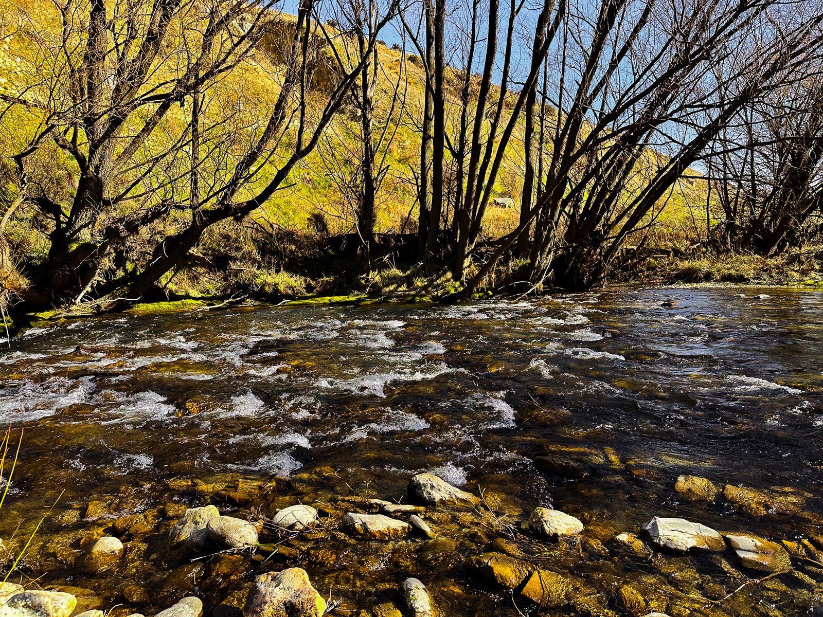
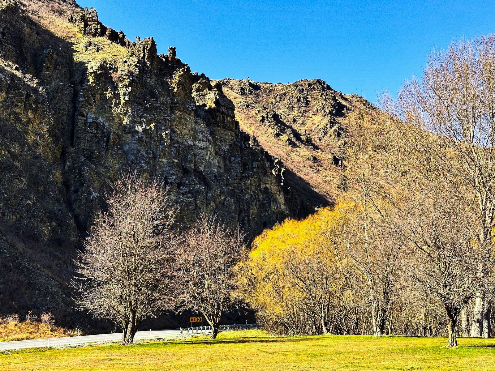
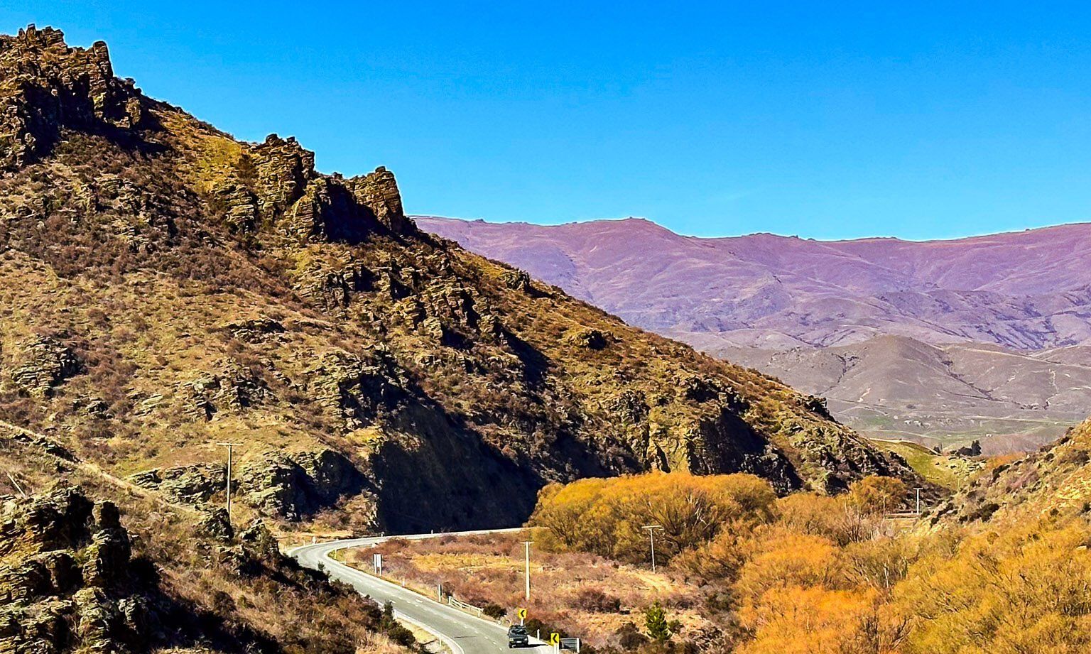
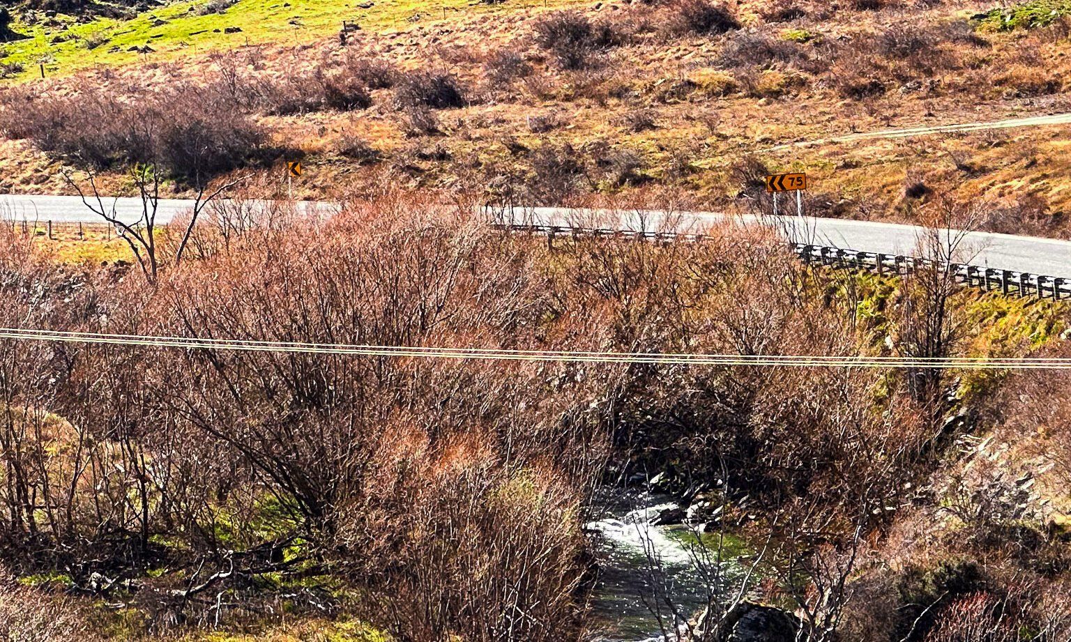
The Lindis River begins its journey in the arid mountains between the Ahuriri Valley and Lake Hāwea. Flowing southward, it traverses steep and remote landscapes before meeting the State Highway 8 in the Lindis Valley, south of Lindis Pass. As it continues, the river follows the highway through canyons and valleys towards Tarras, eventually joining the Clutha River / Mata-Au north of Lake Dunstan. This river is not just a geographical feature but a historical pathway, offering a glimpse into both Māori heritage and European settlement.
Cultural and Historical Significance
The Lindis River, known to Māori as Omakau, meaning "belonging to a wife, husband, or object of affection", holds cultural significance. The lower section of the river was part of Tahu-a-Arapaoa, an ancient Māori trail that crossed Lindis Pass to Lake Hāwea and extended to the West Coast.
European Influence and Natural Beauty
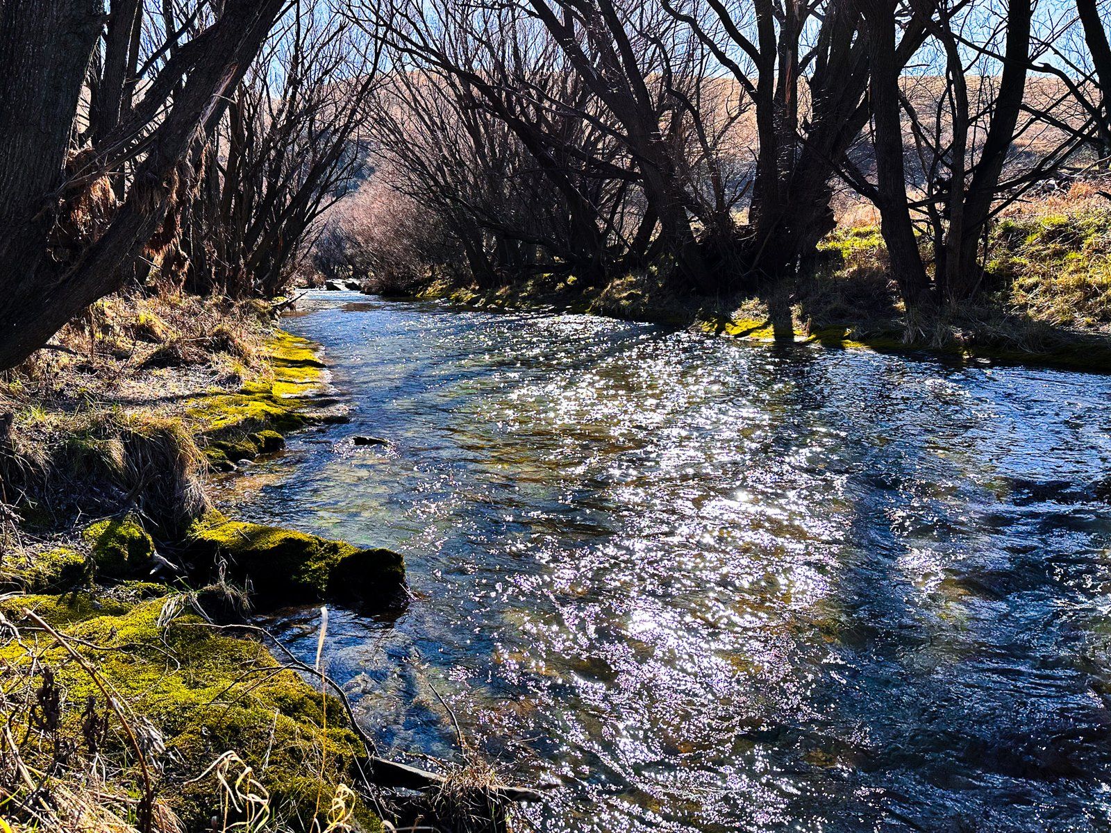
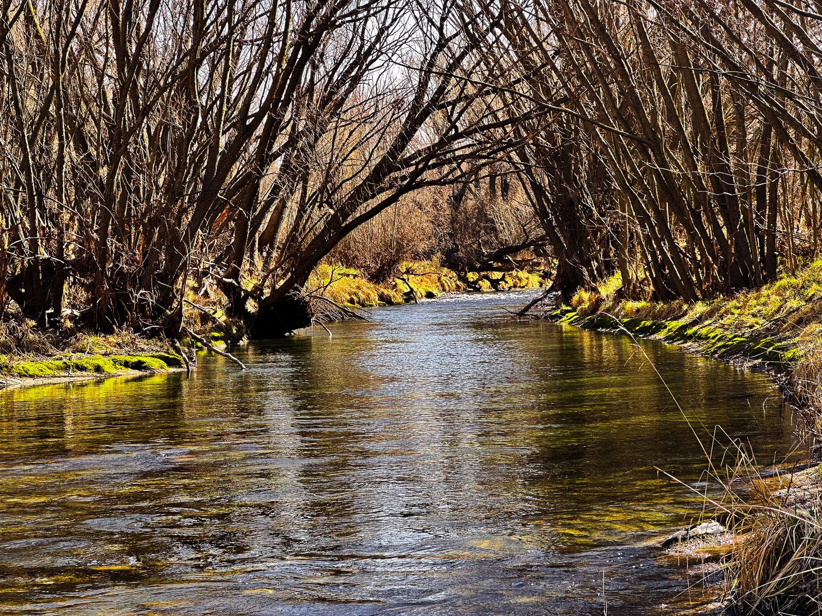
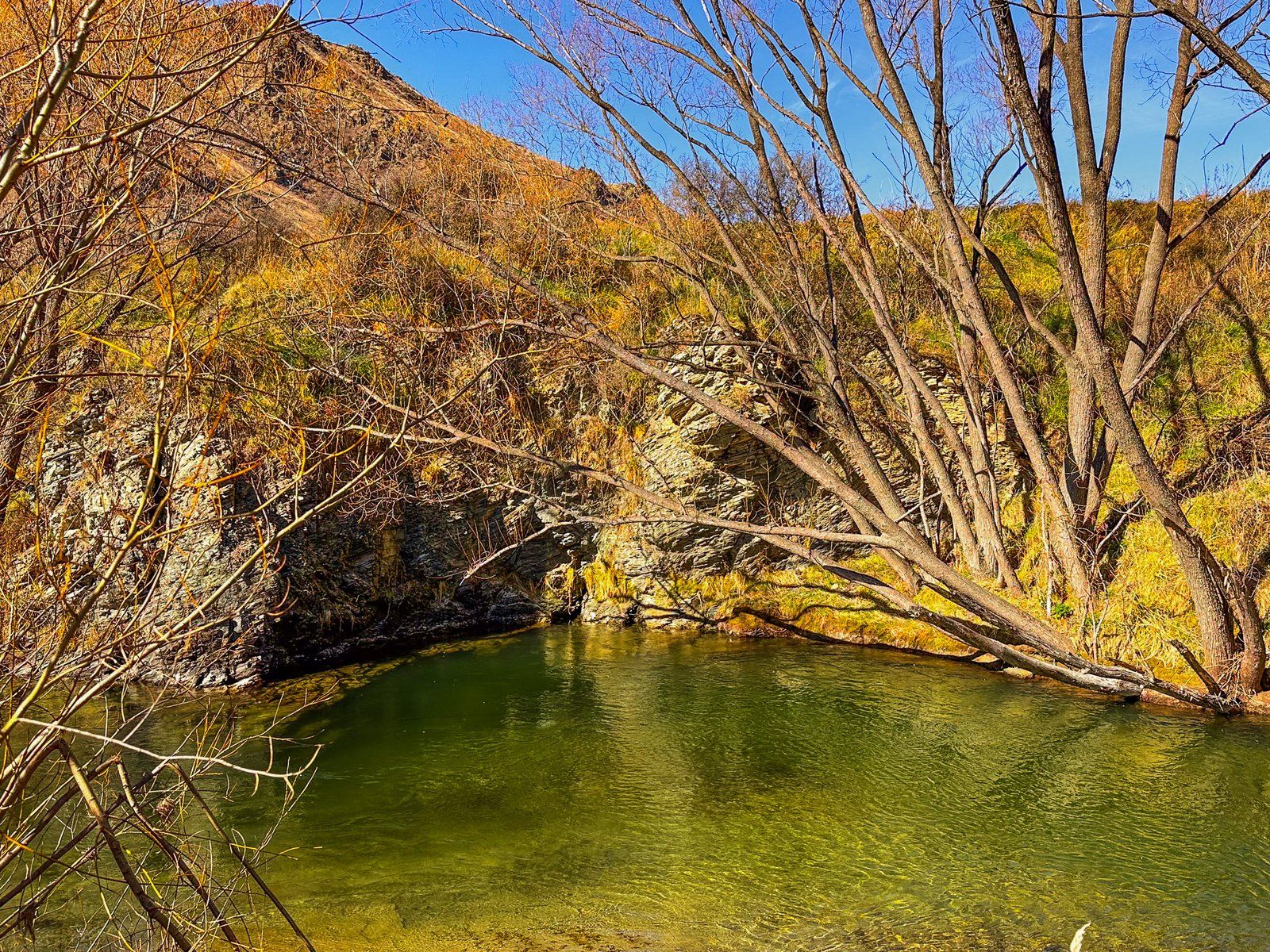
With the arrival of Europeans, the landscape around the Lindis River was transformed. They planted numerous willow trees along the riverbanks, which now provide vibrant colour and shelter in the otherwise dry, tussock-covered, rocky terrain.
Accessing the River and Scenic Spots
You can access the Lindis River at various points, with some of the best spots located around the old gold diggings at Goodger Flat. To reach these areas, take Old Faithful Road from State Highway 8 to Nine Mile Reserve. From the campsite, access to the riverside is straightforward.
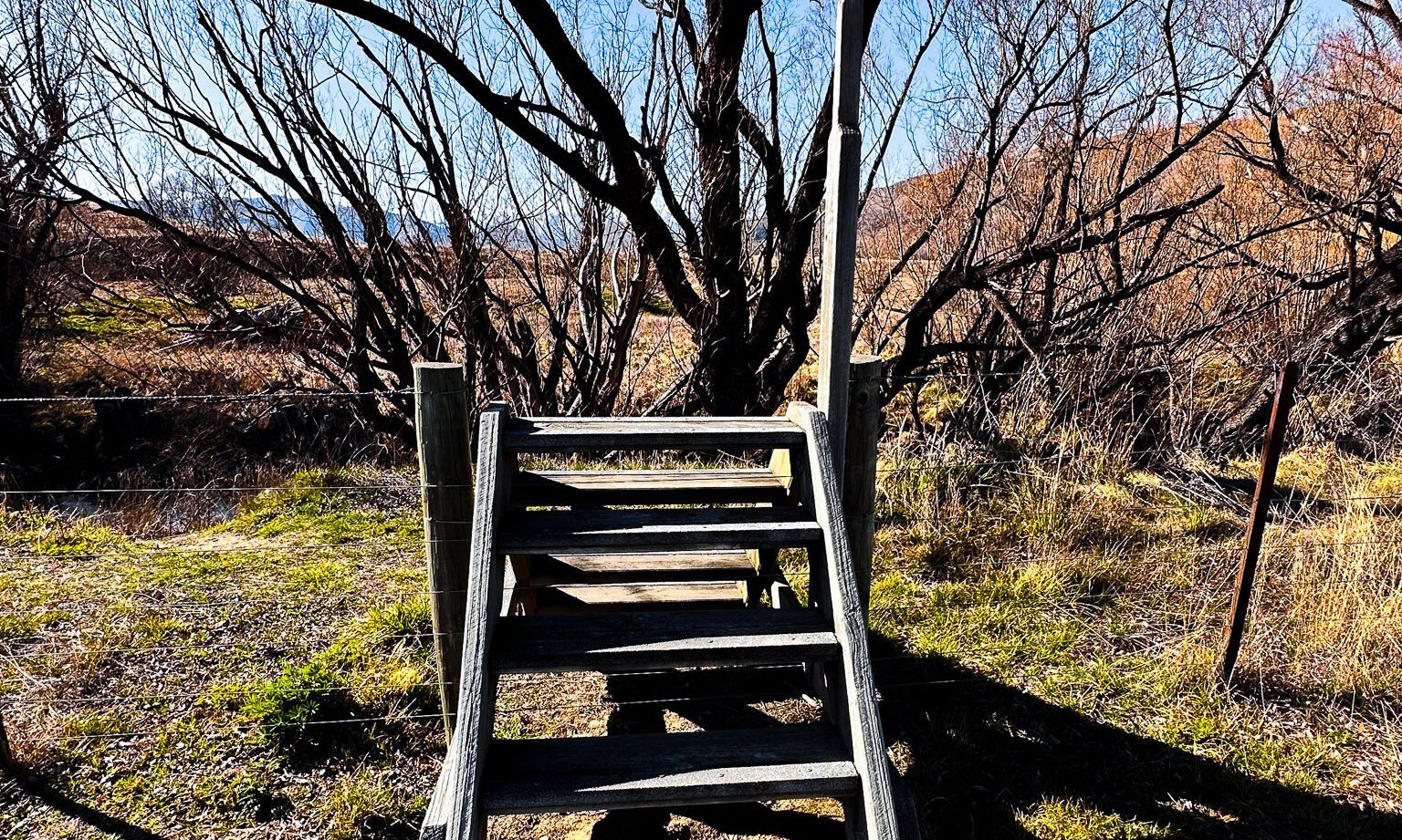
Just north of Goodger Flat on the highway, a rest area offers another entry point to the river. Here, you can walk through the trees and gravel diggings along the riverbank to find an ideal spot for a picnic. There is also a large panel that details the area's gold-digging history.
Getting to the Lindis River
From Wānaka, the Lindis River is a 55 km, 45-minute drive. Take State Highway 8A to Tarras, then follow State Highway 6 north to the turnoff for Nine Mile Reserve.
Continuing north on State Highway 6, you will cross the spectacular Lindis Pass and gain access to the Ahuriri River in the Ahuriri Valley.
