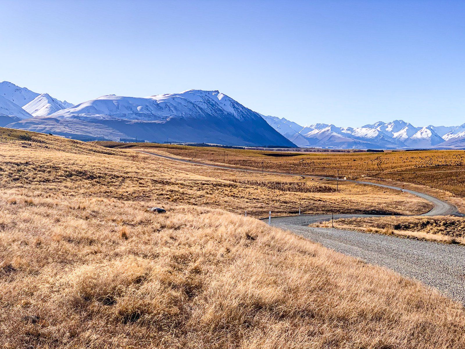
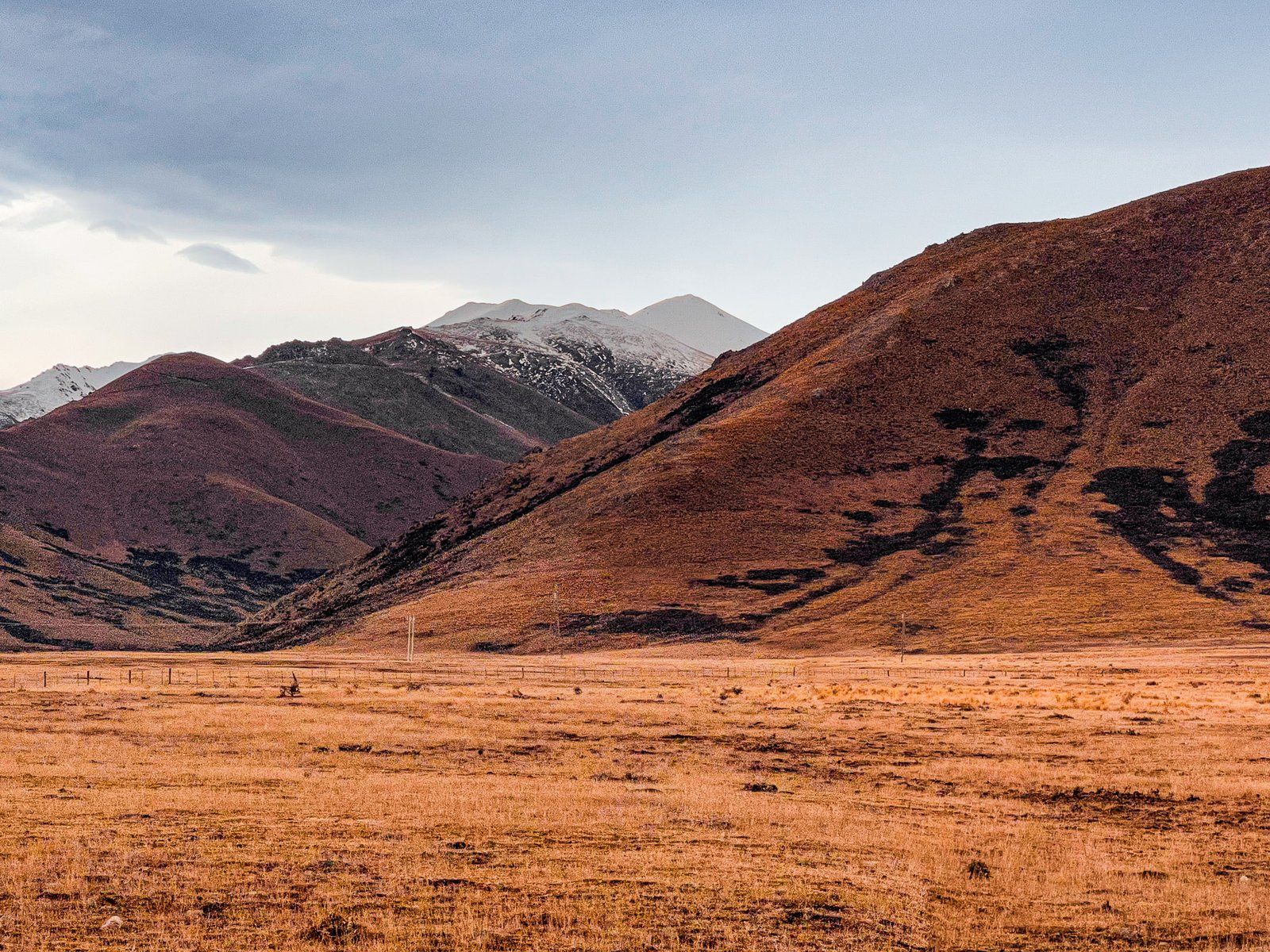
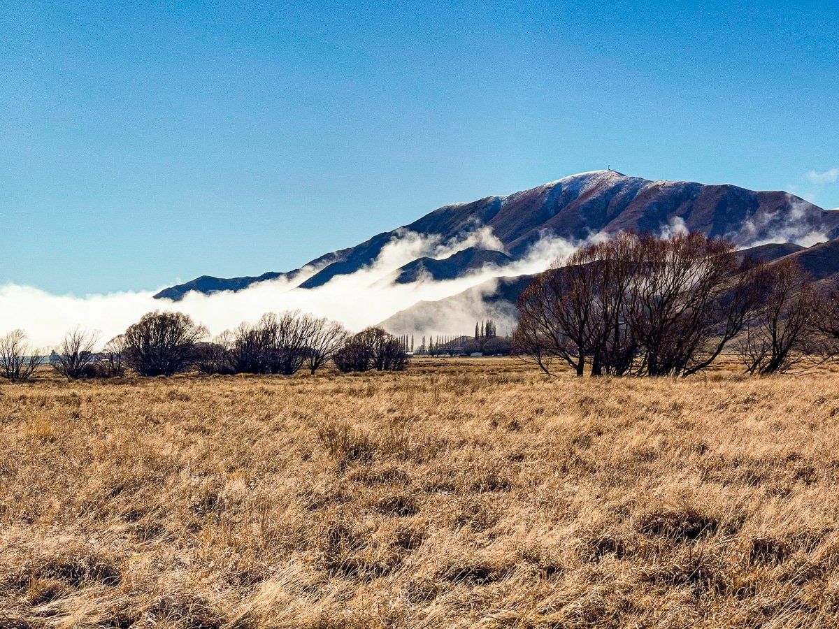
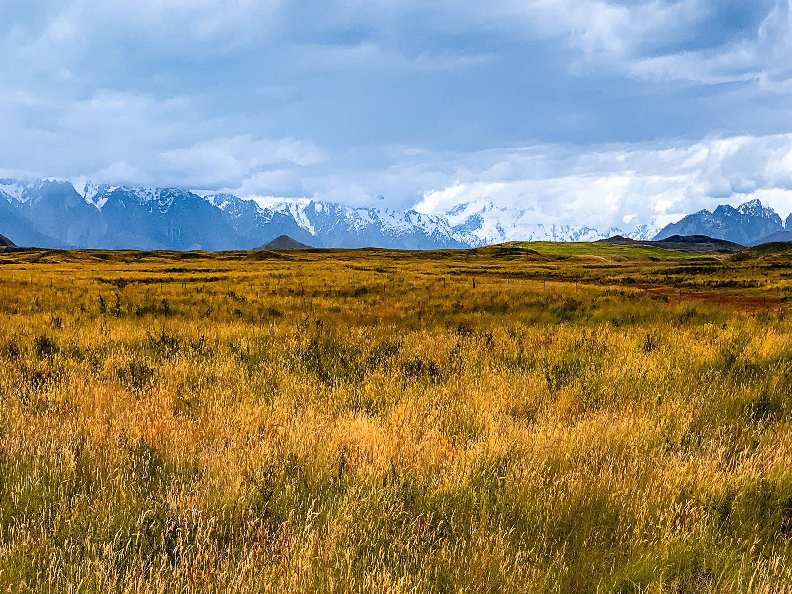
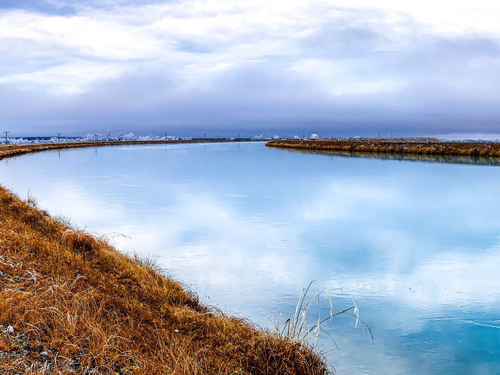
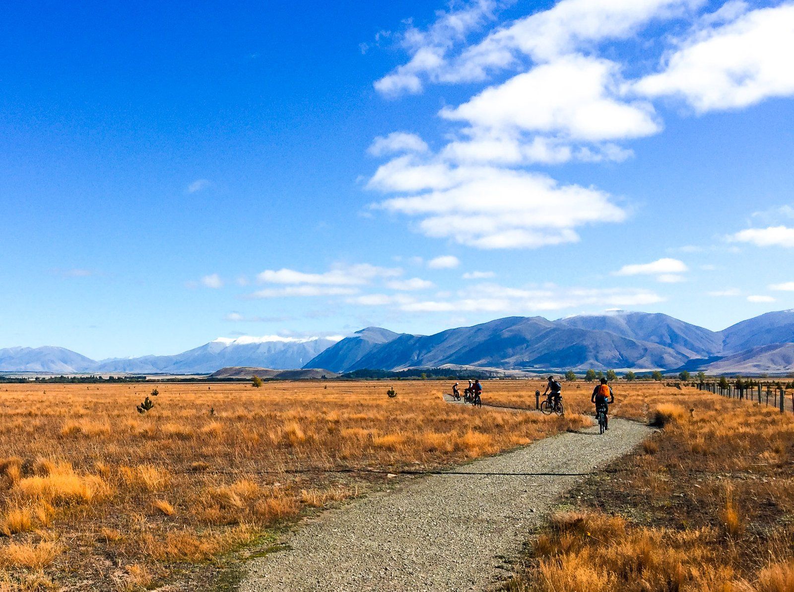
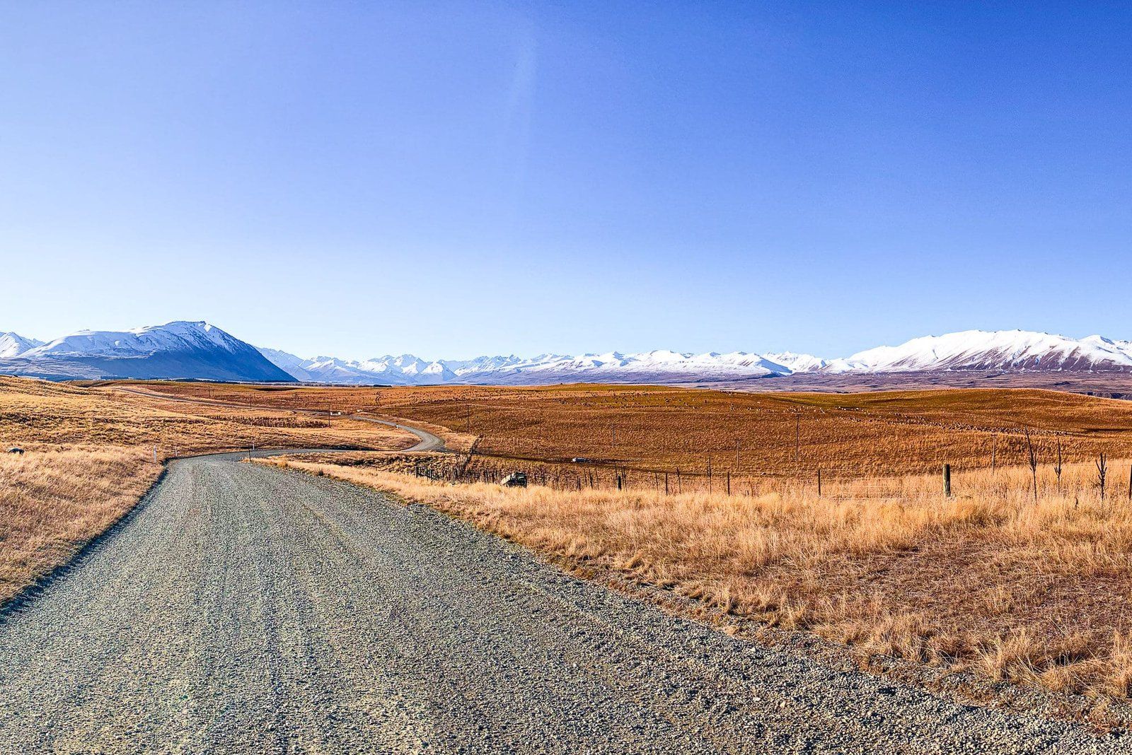
Mackenzie Basin is a major feature of the Mackenzie Country. It is a gently sloping, high (700+ metres above sea level at Tekapo) basin in the South Island’s South Canterbury. Until the 1990s, it was a rather dry, desolate area, best known for 1850s sheep rustler James Mackenzie, for who it was named, a severe rabbit infestation, and access to Aoraki Mount Cook. For a long time, its main value was collecting water for the Mackenzie Basin and Waitaki Valley hydropower scheme, the largest in NZ.
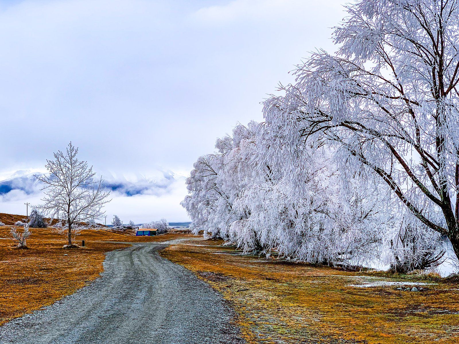
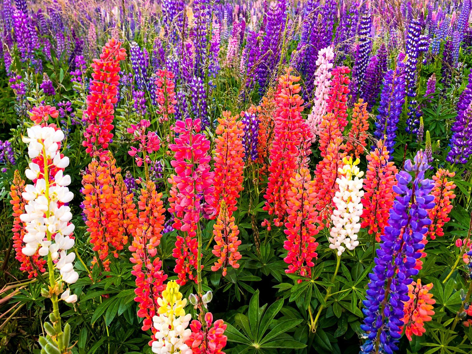
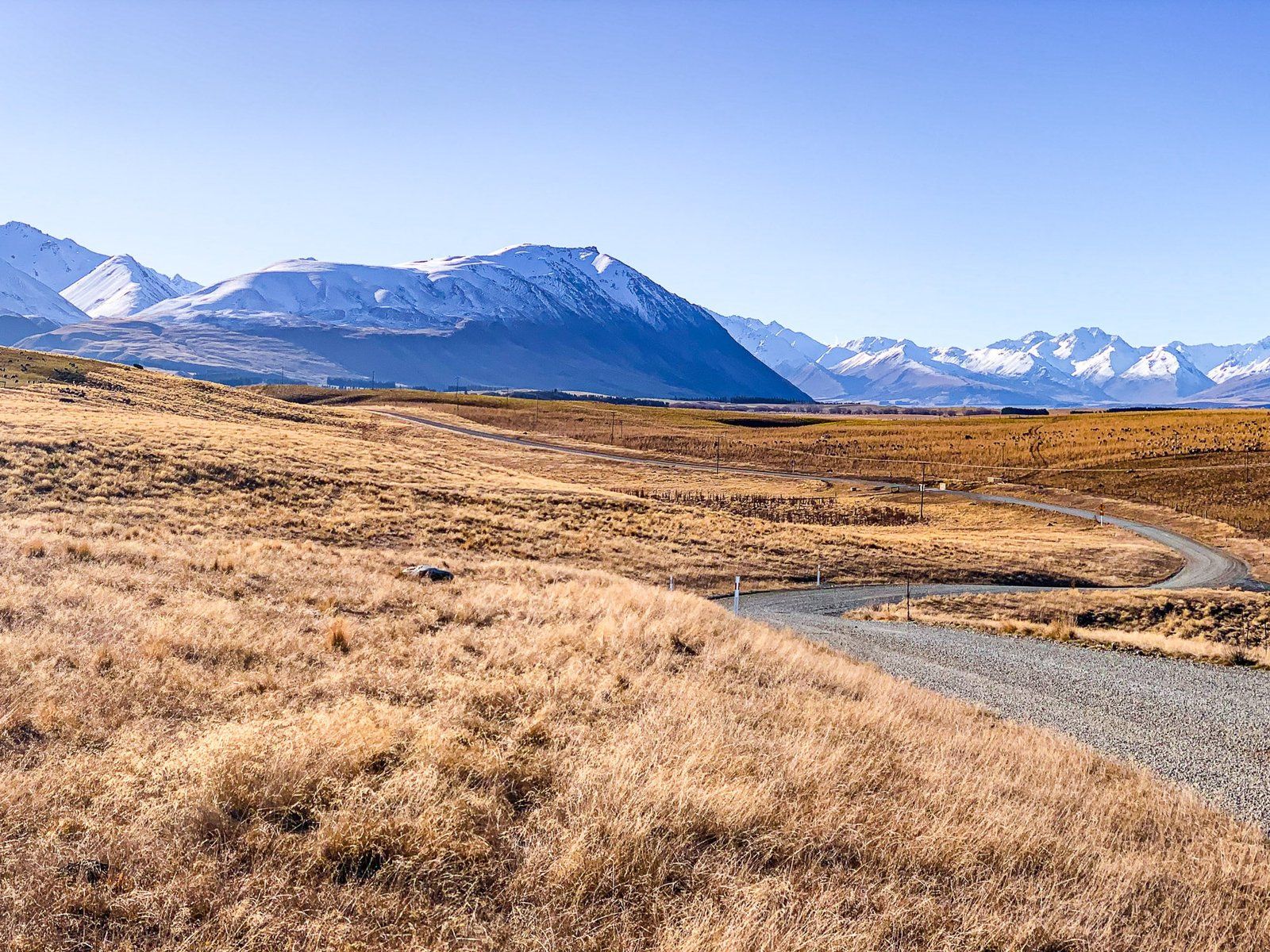
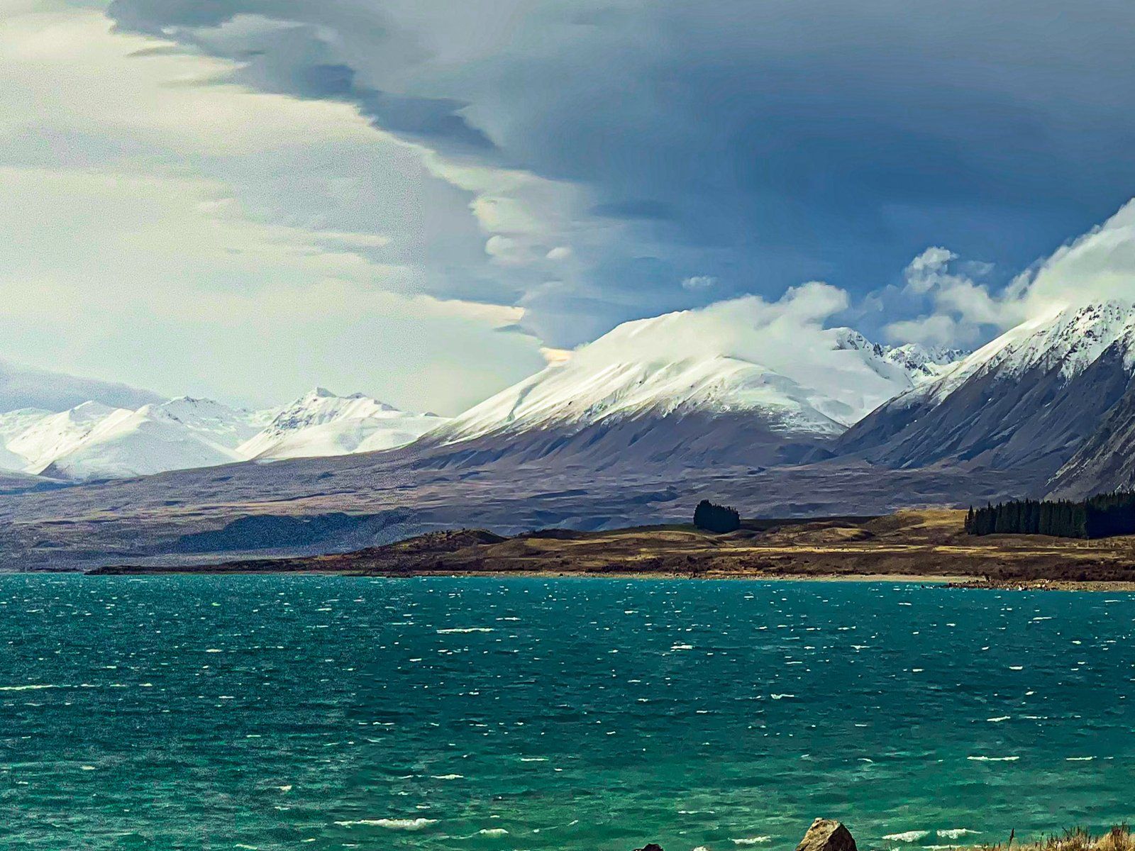
Today, it is a tourist hotspot fueled by growth around the scenic town of Lake Tekapo and the creation of the Aoraki Mackenzie International Dark Sky Reserve. The reduction in rabbits has also improved the golden tussock grasslands. Big skies, dramatic weather, lupins in summer and reasonably reliable hoar frosts in the winter provide additional points of interest for travellers.
The historical Māori connection has also been revitalised with the nametext, which means the place of enlightenment. The basin and its rivers were a significant seasonal food resource for Ngāi Tahu and on the track network that connected the east coast to the pounamu resource on the west coast of the South island. Aoraki is of particular spiritual significance, and the basin is the gateway.
The basin is roughly 60 km at its widest point and is bounded by mountain ranges and post-glacial lakes. To the north is the main Divide of the Southern Alps and Aoraki Mount Cook. The glaciers of the Divide feed the major post-glacial lakes, Tekapo, Pukaki and Ohau. Braided rivers run from the lakes to form the Waitaki River at the south end of the basin, flattening the Basin out over millennia. Today, the river flows have been largely supplanted by hydro canals that connect the lakes to feed several power stations in the Basin with man-made Lake Benmore, now the head of the Waitaki River.
Fairlie, on State Highway 8 in the Opihi River Valley, is the gateway to the MacKenzie Country from the north. It is a short drive north from the town to Burkes Pass, between the Rollesby and Two Thumb Ranges, onto the basin. The highway continues across the north side to Tekapo, then passes the man-made Lake Ruataniwha in the southwest. State Highway 80 takes you up the west side of Lake Pukaki to Mount Cook National Park and the Main Divide. Several canal roads and metal backroads cross the Basin, including McAughtries, which runs parallel to the Ohau River to the tip of the north arm of Lake Benmore.
Of historical interest is Mackenzie Pass. Take Haldon Road off State Highway 8, about three km west of Burkes Pass. Here, you will find a memorial to James Mackenzie and his sheepdog Friday. Mackenzie was caught in 1855 after stealing 1,000 sheep. He then escaped, walked 150 km to Lyttelton, was caught again, and sentenced to five years hard labour. He escaped again twice. In 1856, his case was reinvestigated, and he was pardoned. By this time, he was a folk hero, hence the name of the pass, the basin and the region. Perhaps fittingly, he is believed to have moved to Australia after his NZ adventures!
The A2O Cycle Trail also runs through the Basin from Tekapo to Omarama. Cycling is a great option for exploring the side roads and hydro canals.
