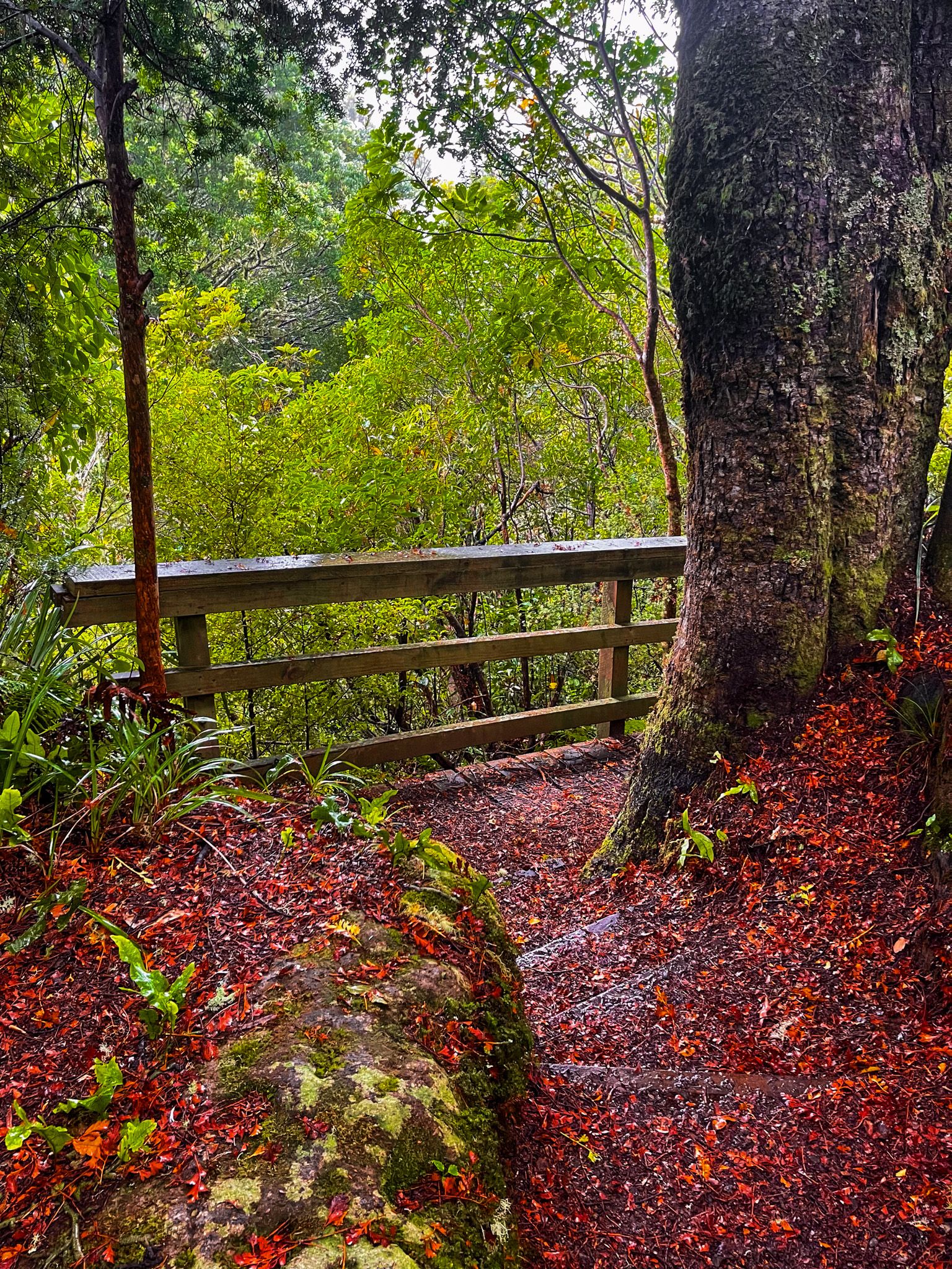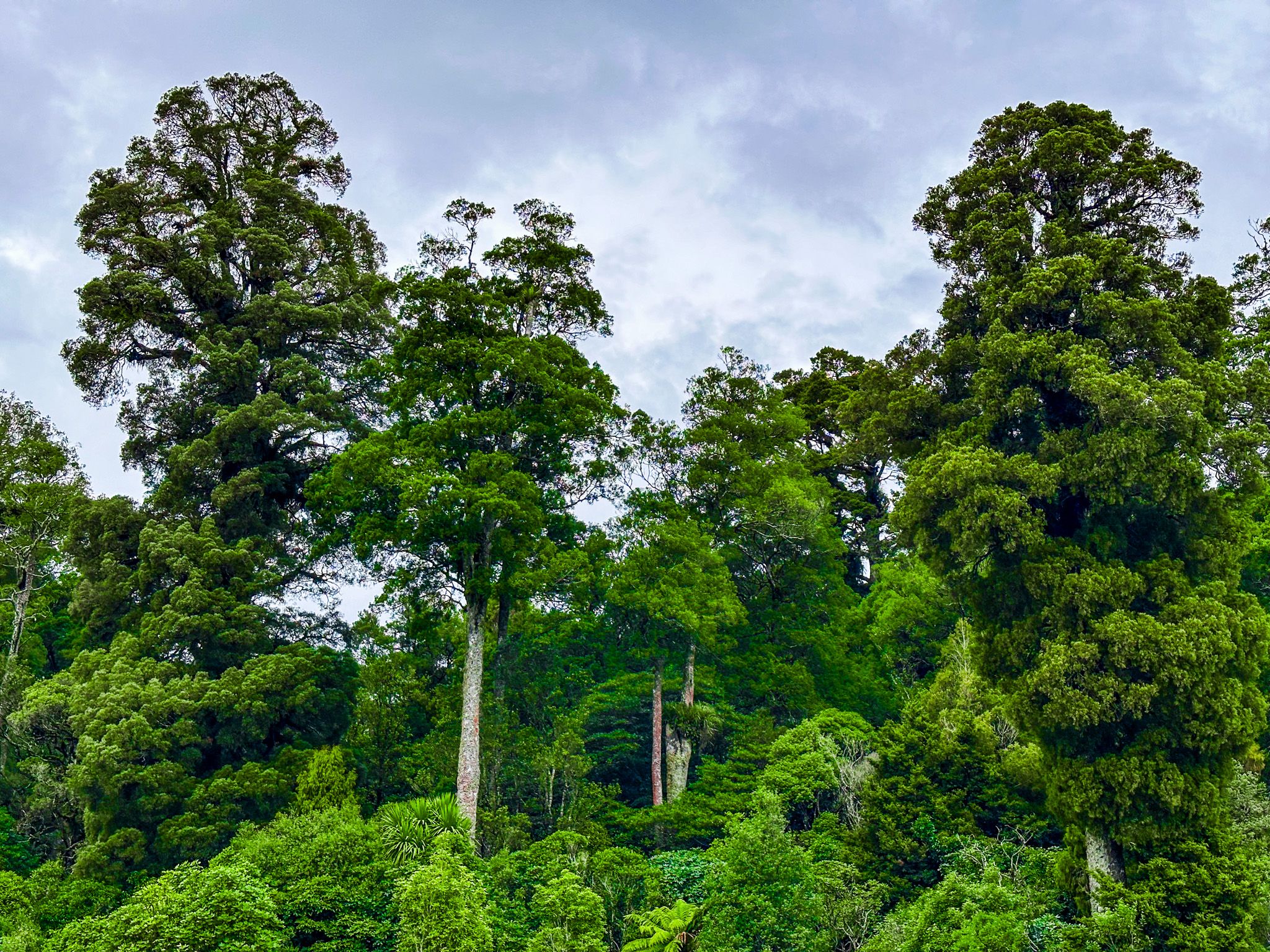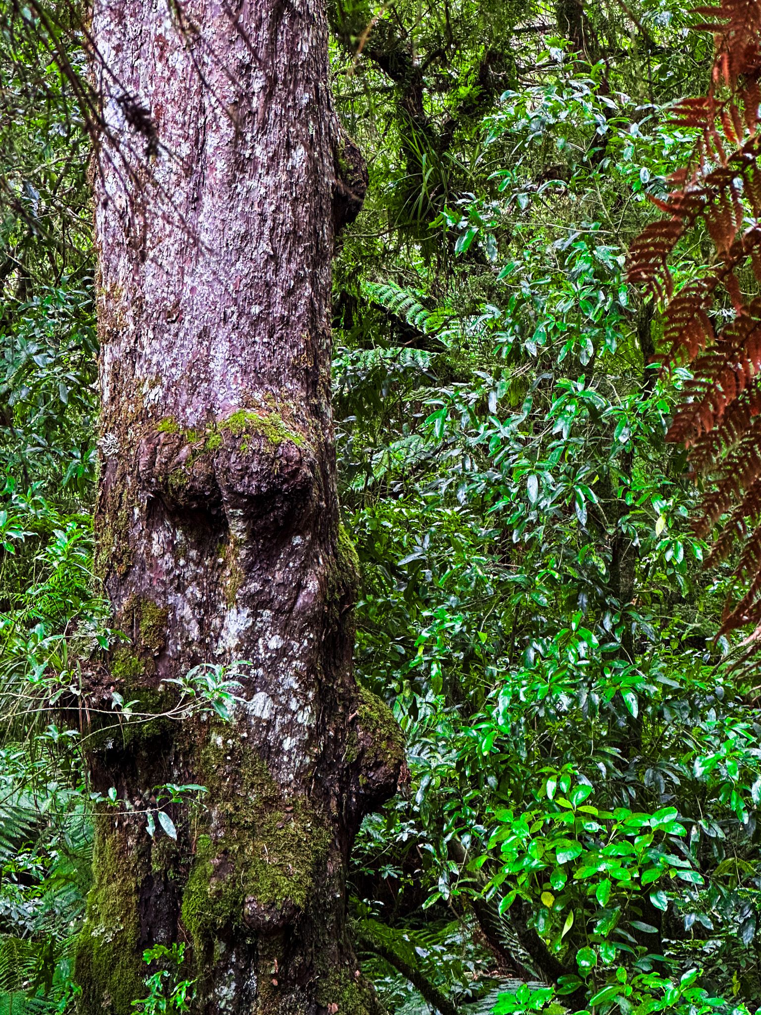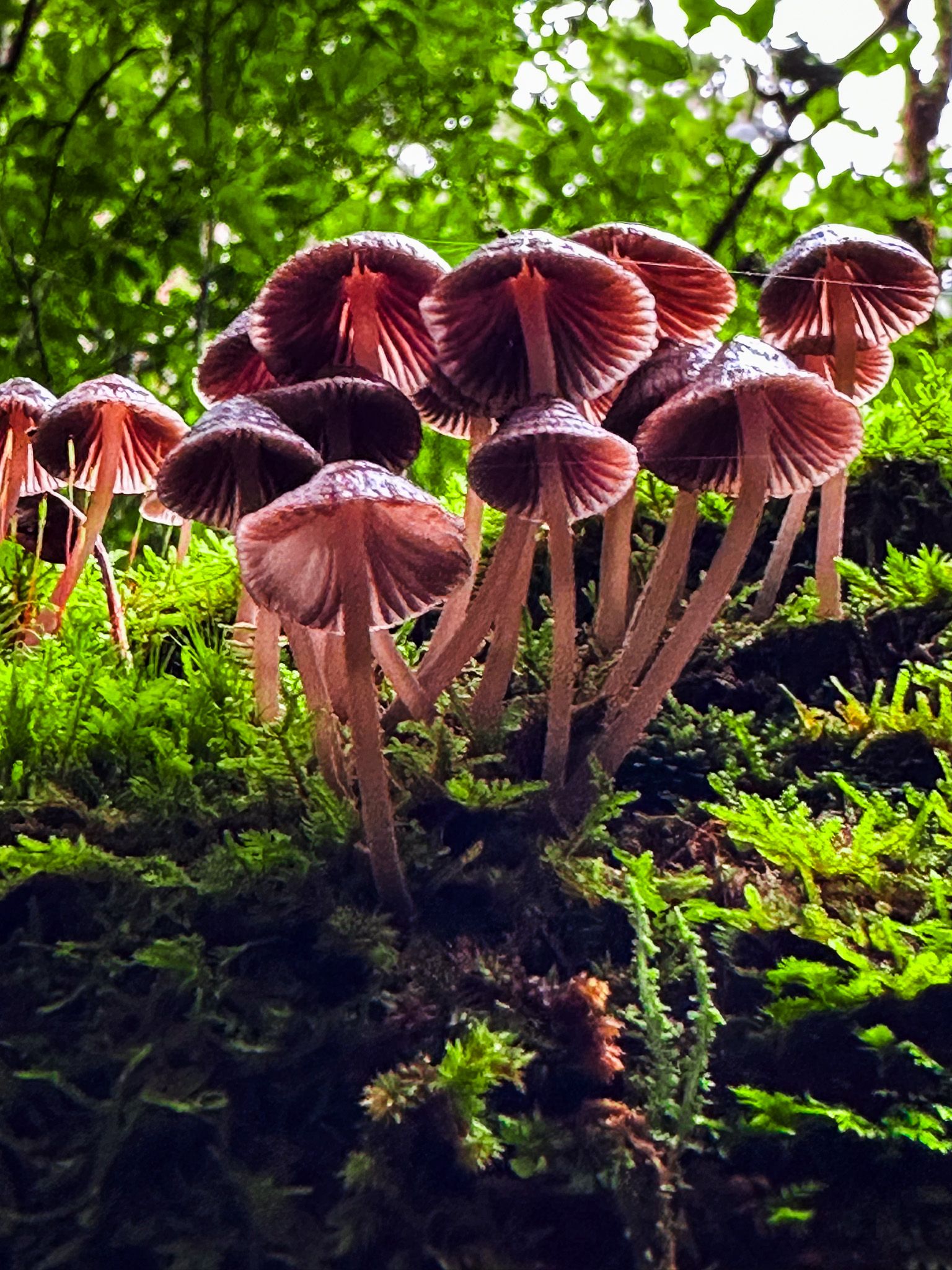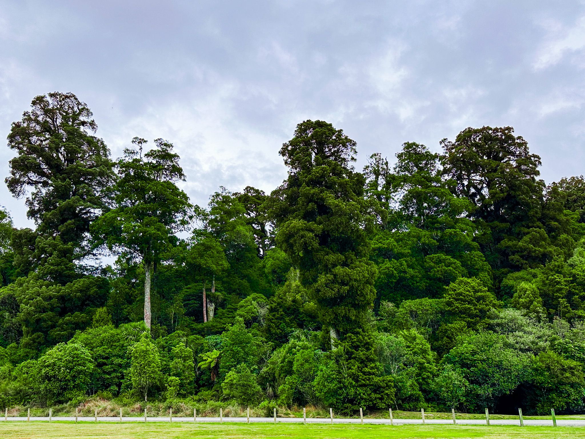
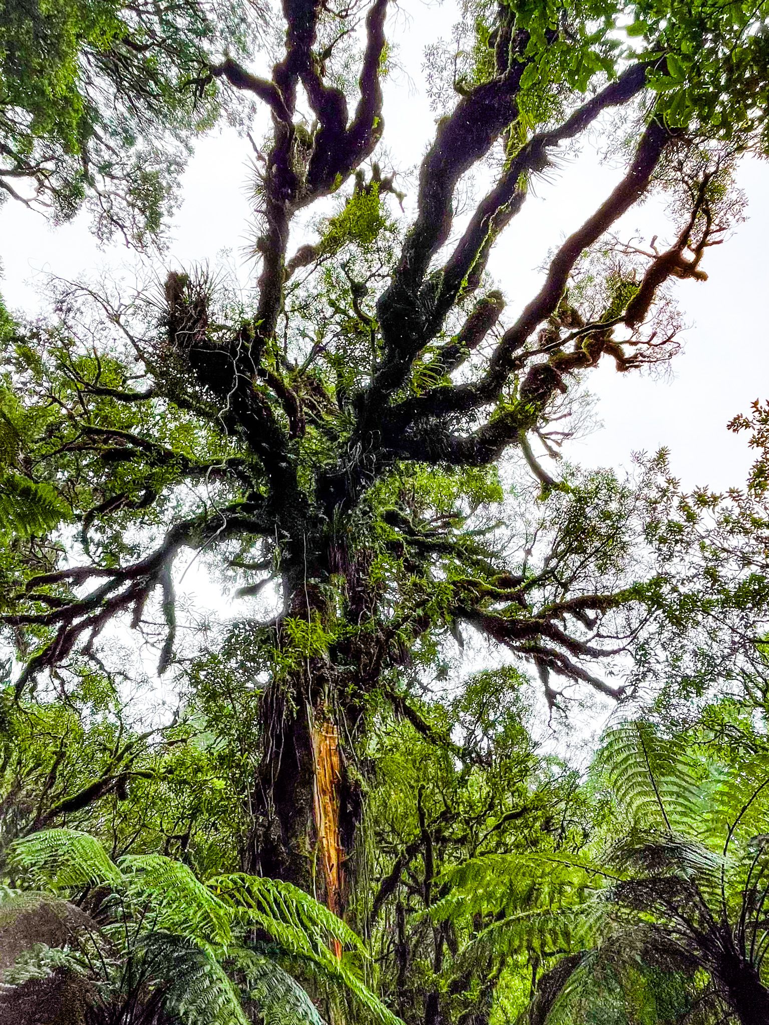
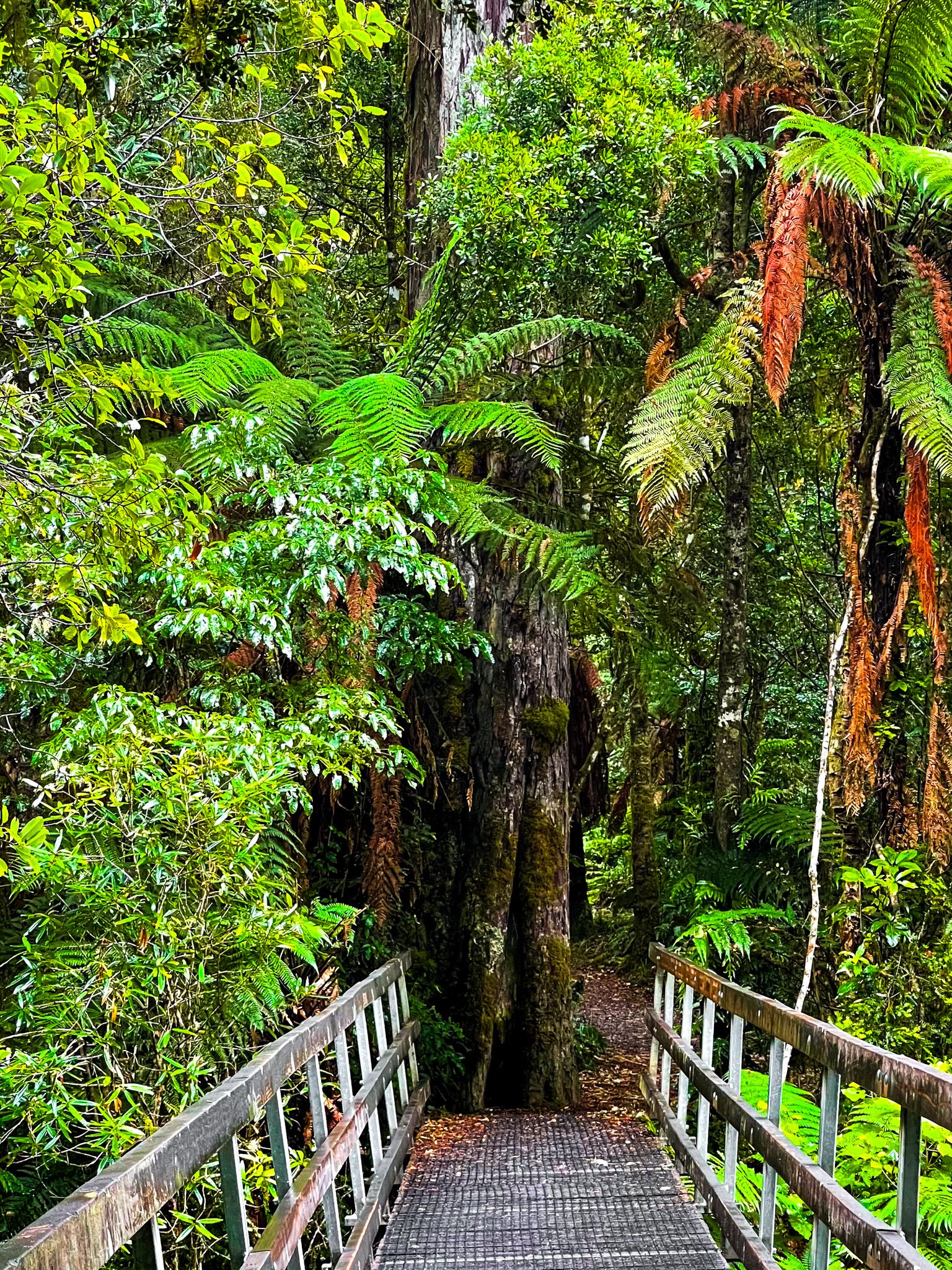
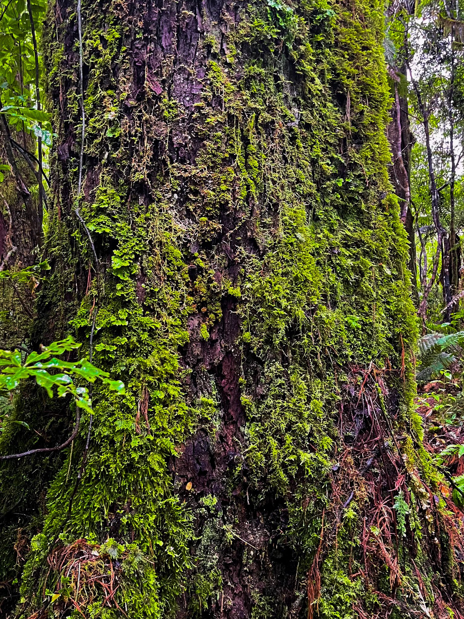
The 78,000-ha Pureora Forest Park is a podocarp rainforest of giant native tōtara, rimu, mātai, miro, and kahikatea trees. The Park straddles the Hauhungaroa and Rangitoto Ranges between Lake Taupō and Te Kuiti. The present forest is relatively young compared to some NZ forests, as the last Taupō eruption 1,800 years ago buried its predecessor.
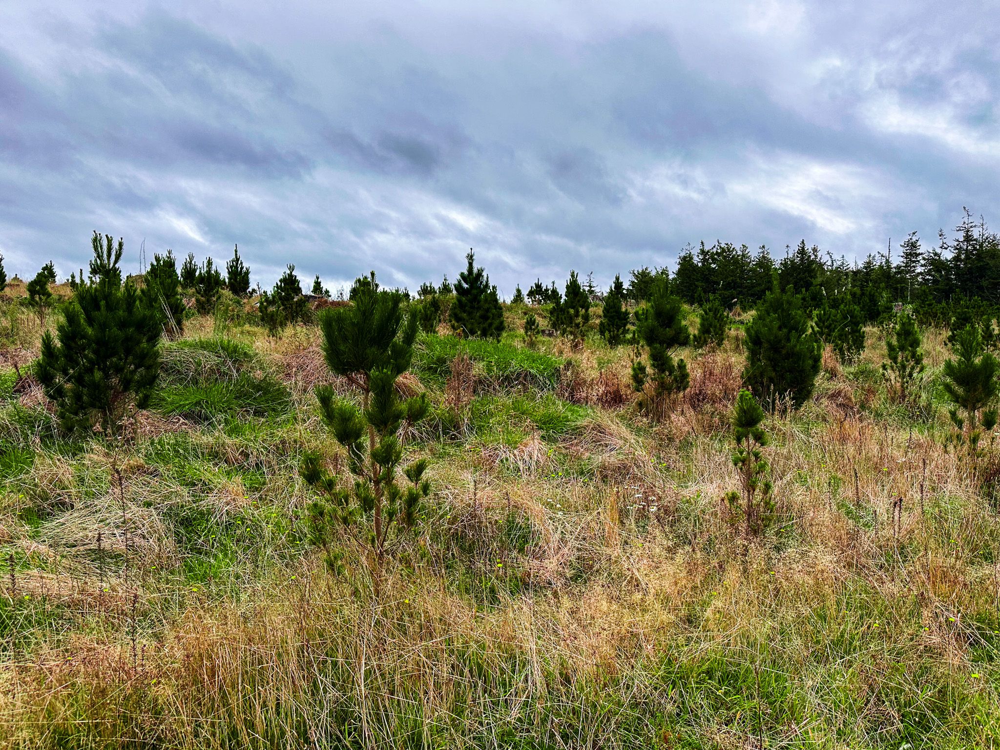
In the 1800s, much of the North Island was swathed in ancient native forest. European settlers took to these forests, axe in hand, and decimated them within three generations. By the 1930s, plantations of fast-growing exotic pine were becoming common, with few large native forests left. Harvesting of the native forest continued anyway in the then much larger Pureora State Forest. The remnant native forest was the last formally opened to harvesting by the Forest Service in 1946.
Parts of this remnant continued to be logged and converted to farms or pines until the 1970s. As the conservation movement strengthened, protests slowed cutting and culminated in a tree sit-in in 1978. The location is commemorated on the Forest Tower Track. The surviving native forest, and some areas in pine, was renamed Pureora Forest Park, and there was a moratorium on harvesting, which was abolished entirely in 1982. DOC became responsible for the park in 1987. Conservation had its price, and the change decimated the forestry towns of Pureora (now Pureora Field Base) and Barryville.
Today, much of the park's area is ancient forest, with some areas still in pine or recovering following pine harvesting. The park is a bit of a patchwork and is also in two parts, with a smaller northern section separated by State Highway 30 and adjacent farmland around Barryville. Pureora Field Base is south of the highway and is the main entrance to the larger southern forest area. State Highway 32 runs below the southeast side of the park. The two highways are linked by State Highways 4 and 41, which run to the west and south side of the forest.
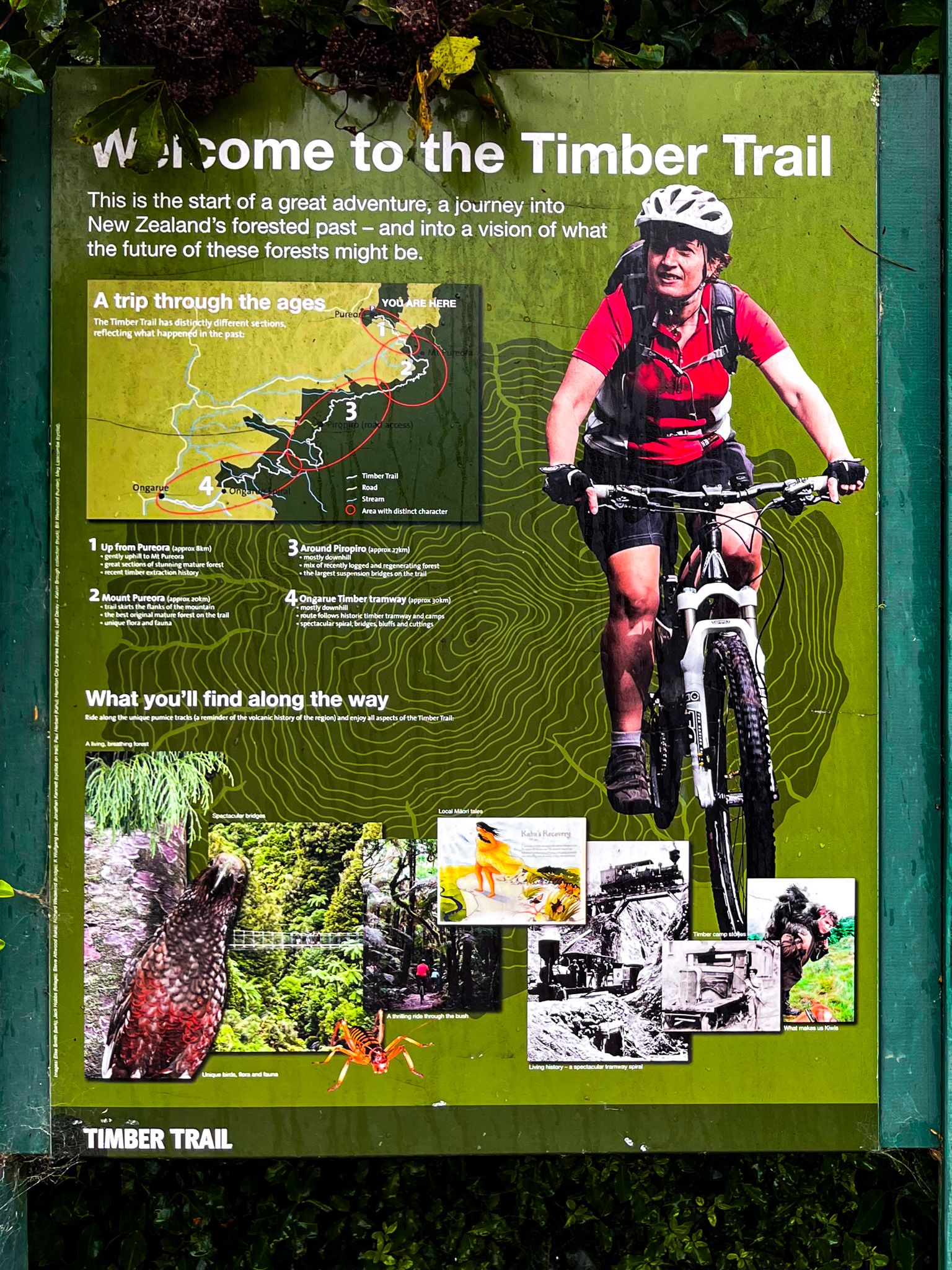
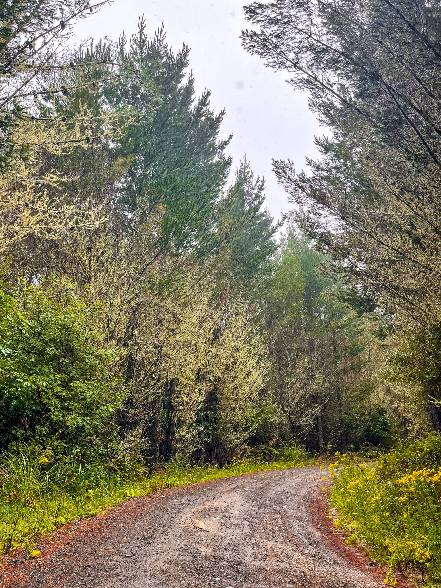
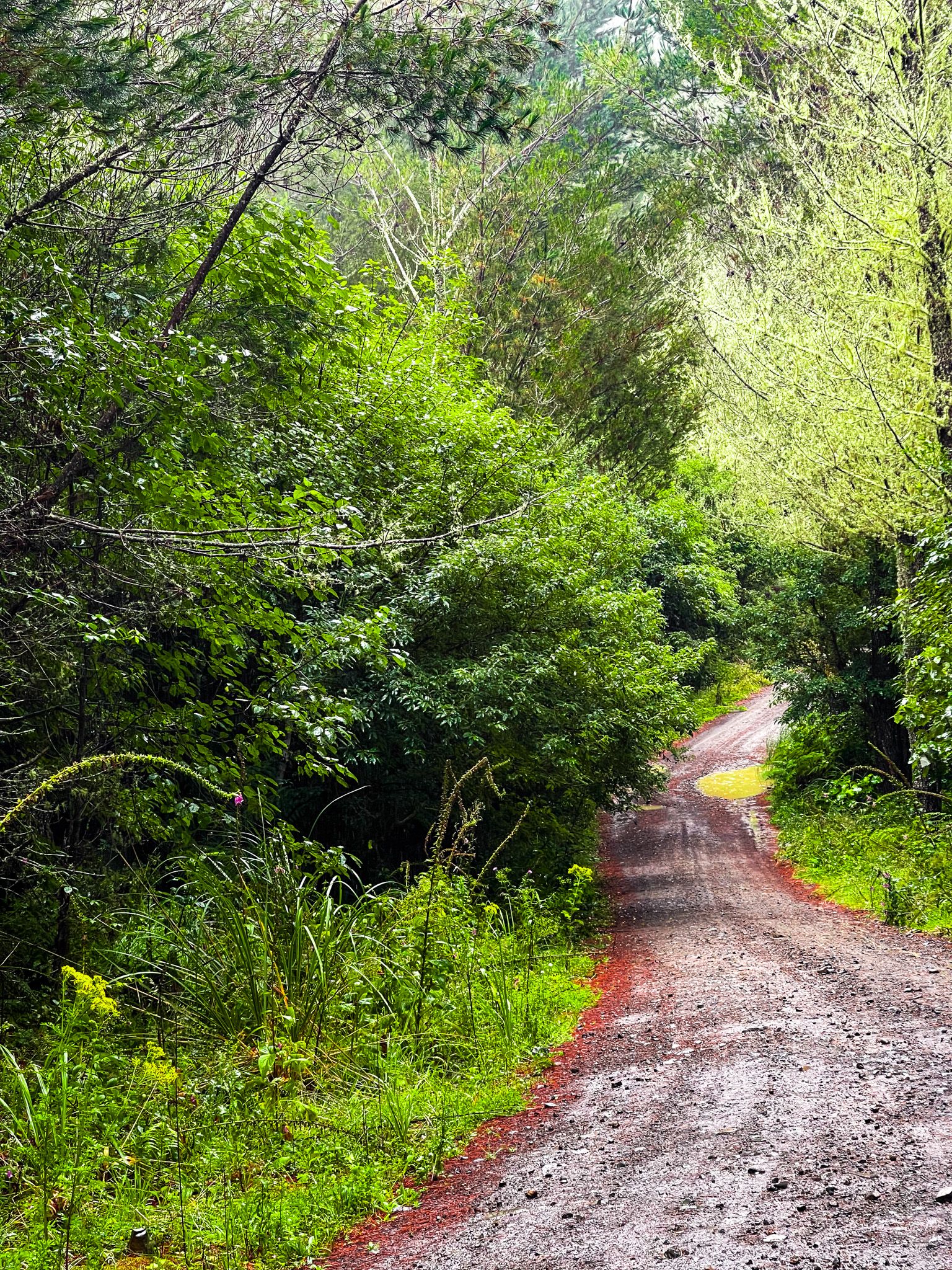
Various tracks and forestry roads can be accessed on all sides. Near Pureora is the start of the two-day Timber Trail (cycling), the short but stunning Totara Walk, the two Ngaherenga campsites and an access road to the Forest Tower Walk. The Timber Trail also connects with the tough three-day 45 km tramp on the Hauhangaroa Track, which includes the 900+ metre high Hauhangaroa Range, with several small DOC huts. You can also take Waitaramoa Road from State Highway 32 into the northern section of the forest to access the Waipapa Loop and other walking and cycling tracks.
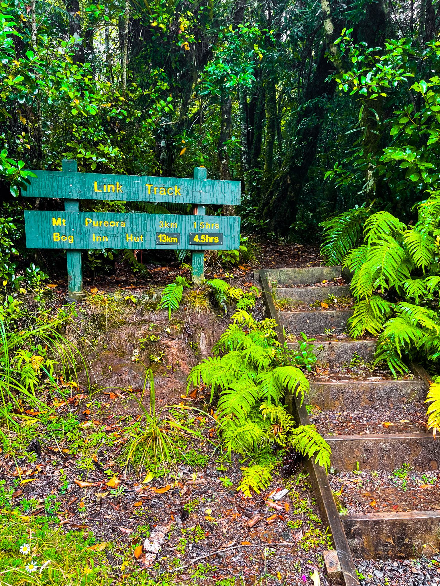
Link Road, a rough forestry road, runs northwest to northeast across the park between Pureora and the Kakaho Campsite. It provides access to two high points - Mount Pureora (1,165 metres high) and Titiraupenga (1,042 metres) - and the Hauhangaroa Track. The stunning, short Historic Crawler Tractor track connects to the Timber Trail, and the Rimu Walk, a loop beside the Kakaho Campsite, is also available.
From State Highway 32, you can access Waihora Lagoon on a rough access road. You can walk the Waihora Track north from the lagoon car park to connect with the Hauhangaroa Track. A bit further southwest on the highway is the access to the Waihaha Track, which also connects to the Hauhangaroa Track. On the west side of the forest, you can take Kokomiko Road to Piropiro Flats. There are four camping shelters, access to the Timber Trail and several other walking and cycling tracks.
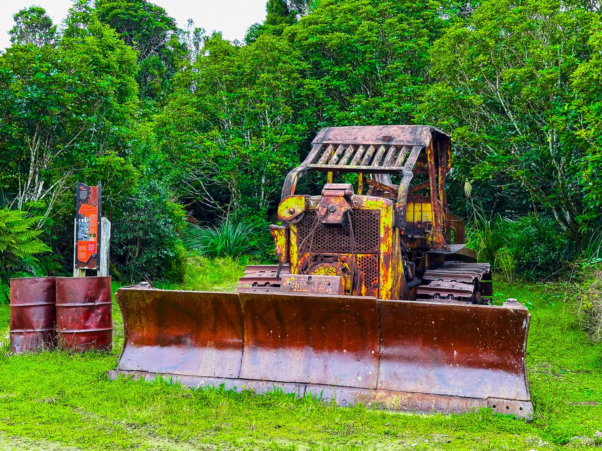
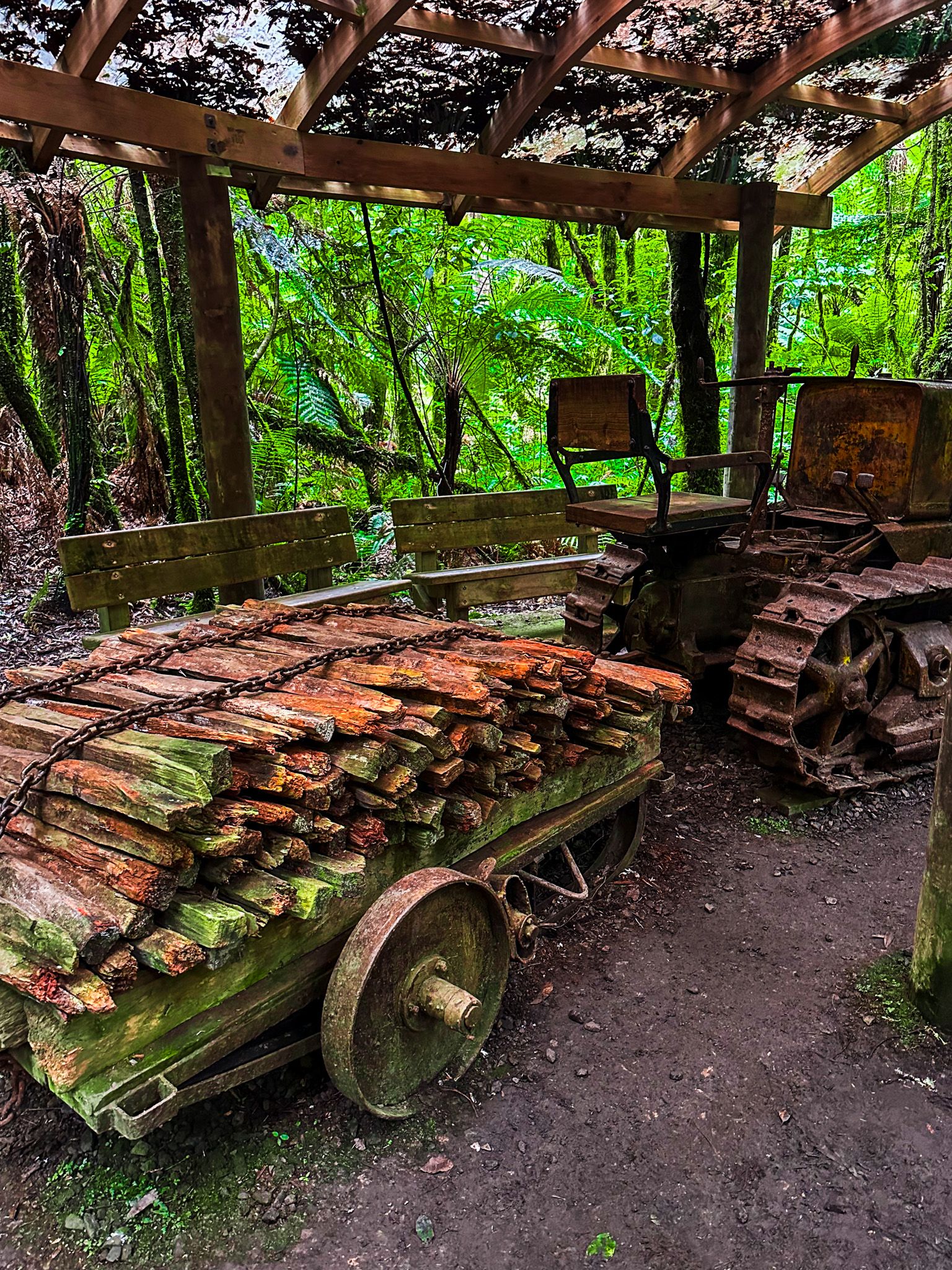
A feature of DOC management in the forest is the protection of forestry industry heritage. Little of the traditional industry that largely destroyed the forests remains. There were extensive networks of tram tracks, on-site timber mills, and equipment, but these mostly disappeared with the trees. However, in Pureora, you can easily see the remains of the milling village set up in 1947, several examples of vintage equipment, and the well-maintained Ongarue Tramway at the south end of the Timber Trail.