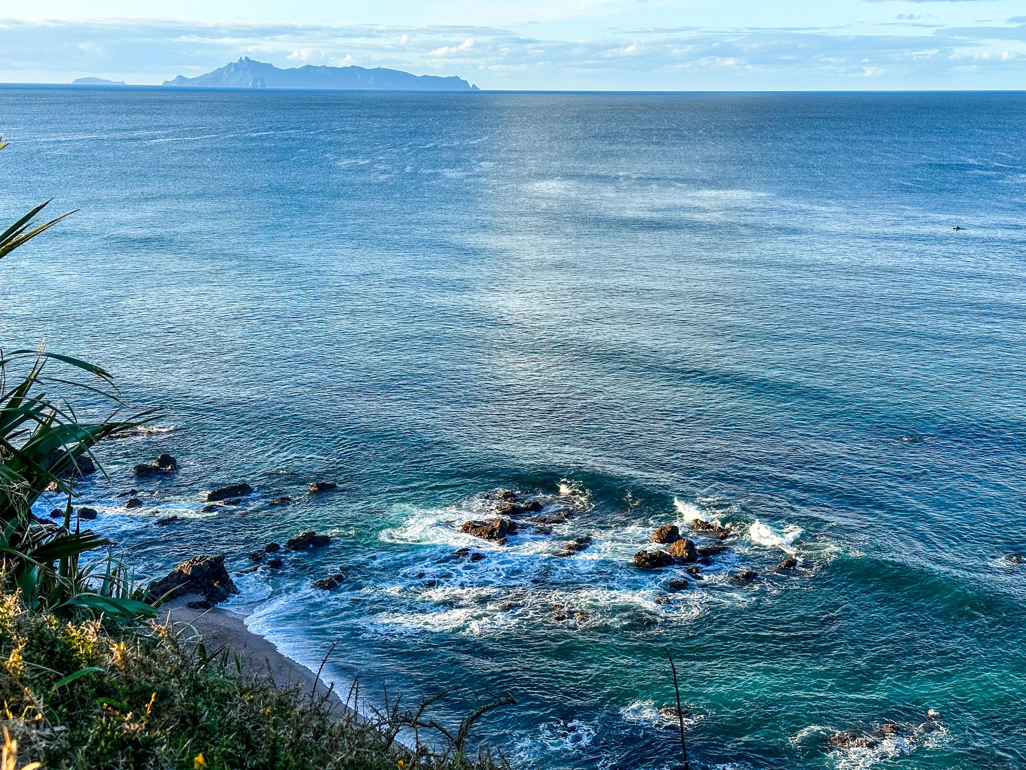
You can easily explore the twin points of the Te Ārai Regional Park on a small network of tracks that run over and around Eyre Point and Te Ārai Point. Te Araroa also crosses the twin points.
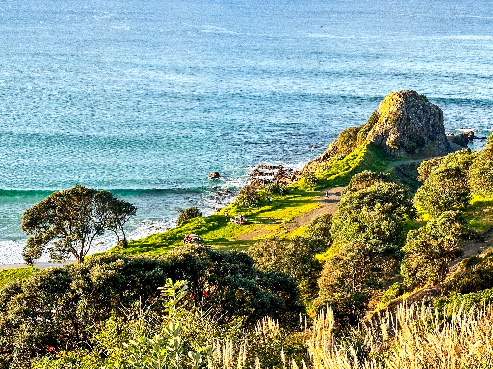
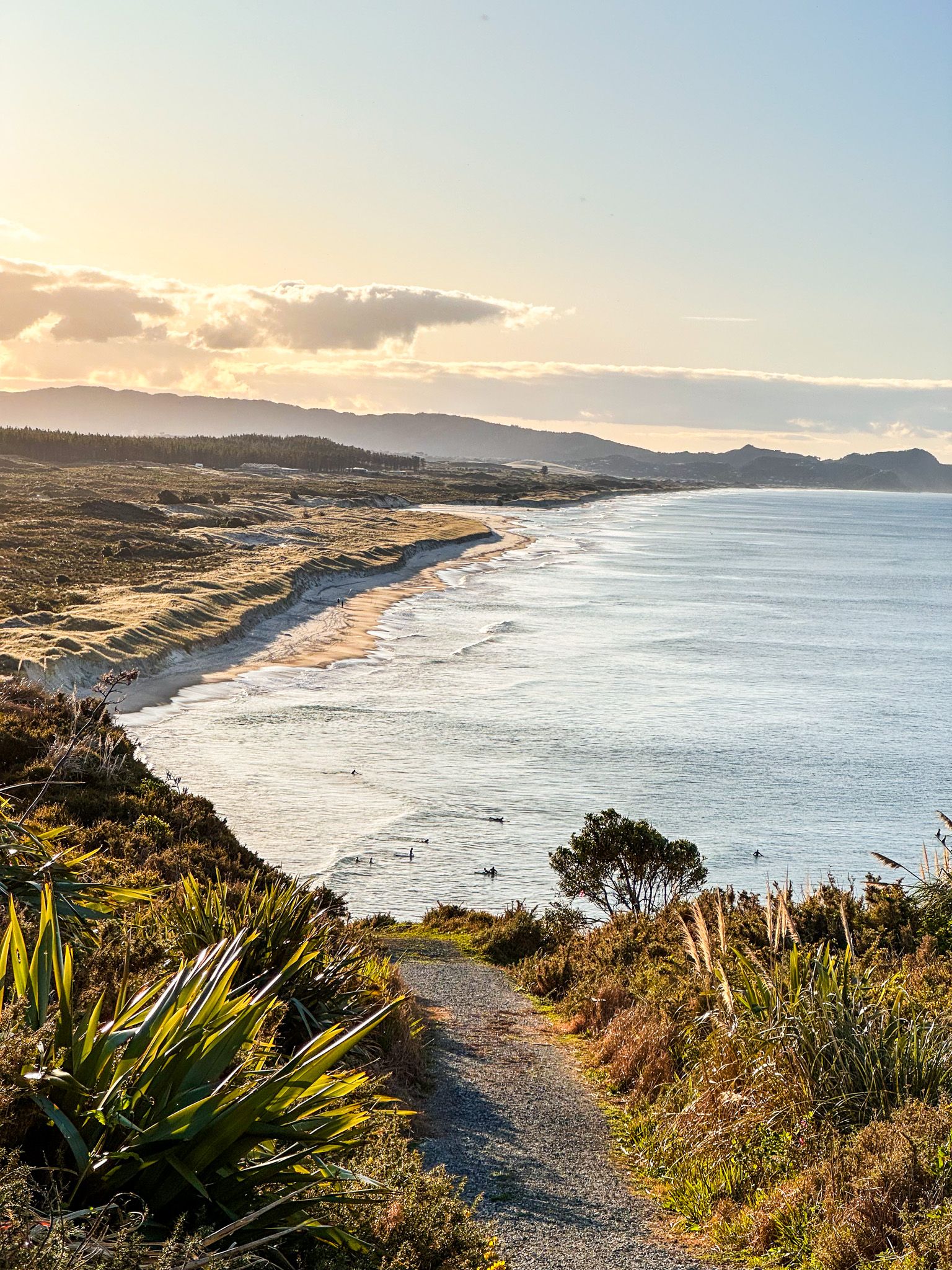
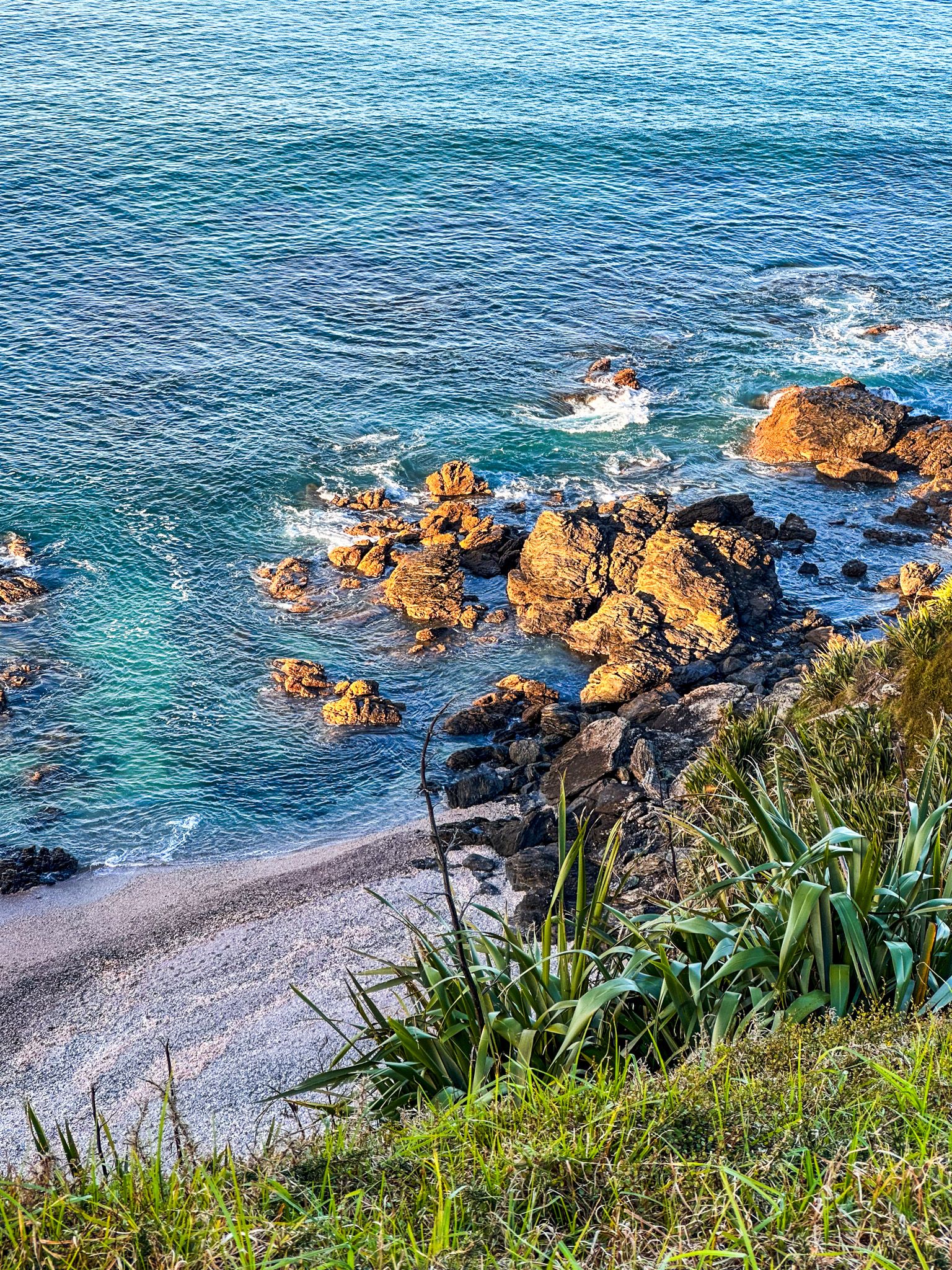
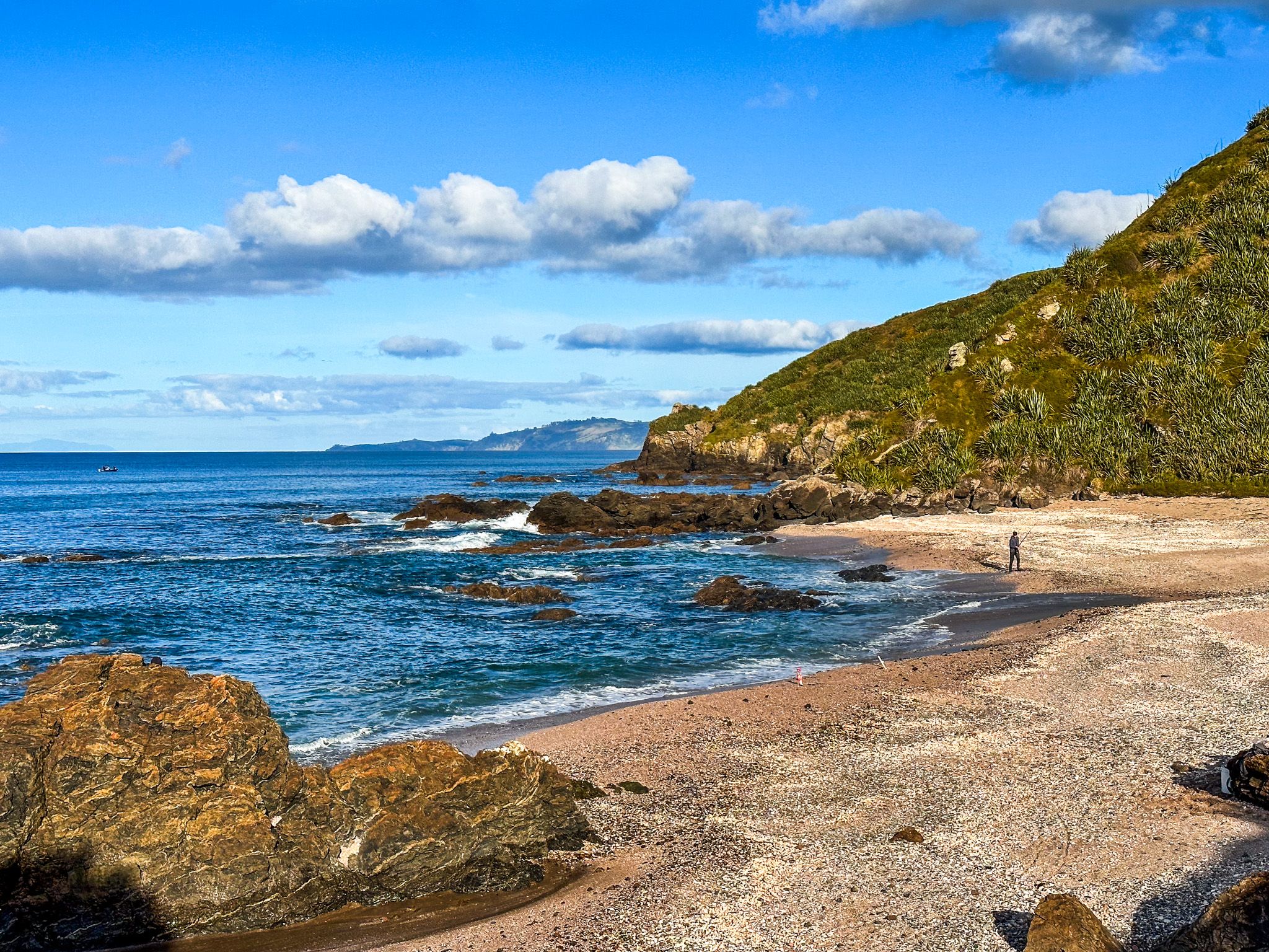
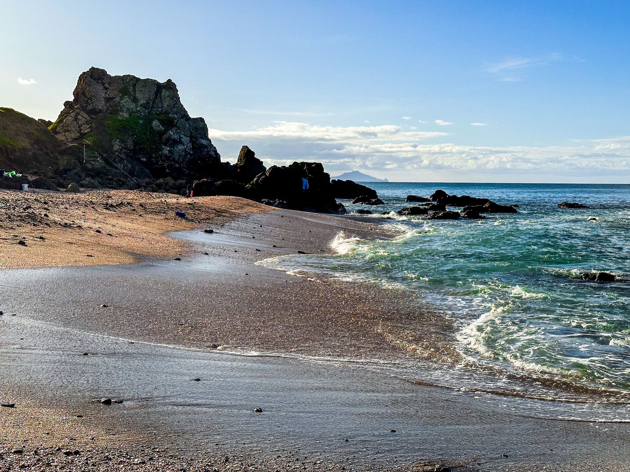
Start by walking around the coast to the south of the campsite. You will see a path to the top of the rocky promontory that overlooks the beach and a small tidal inlet. Continue around the coast to two small beaches.
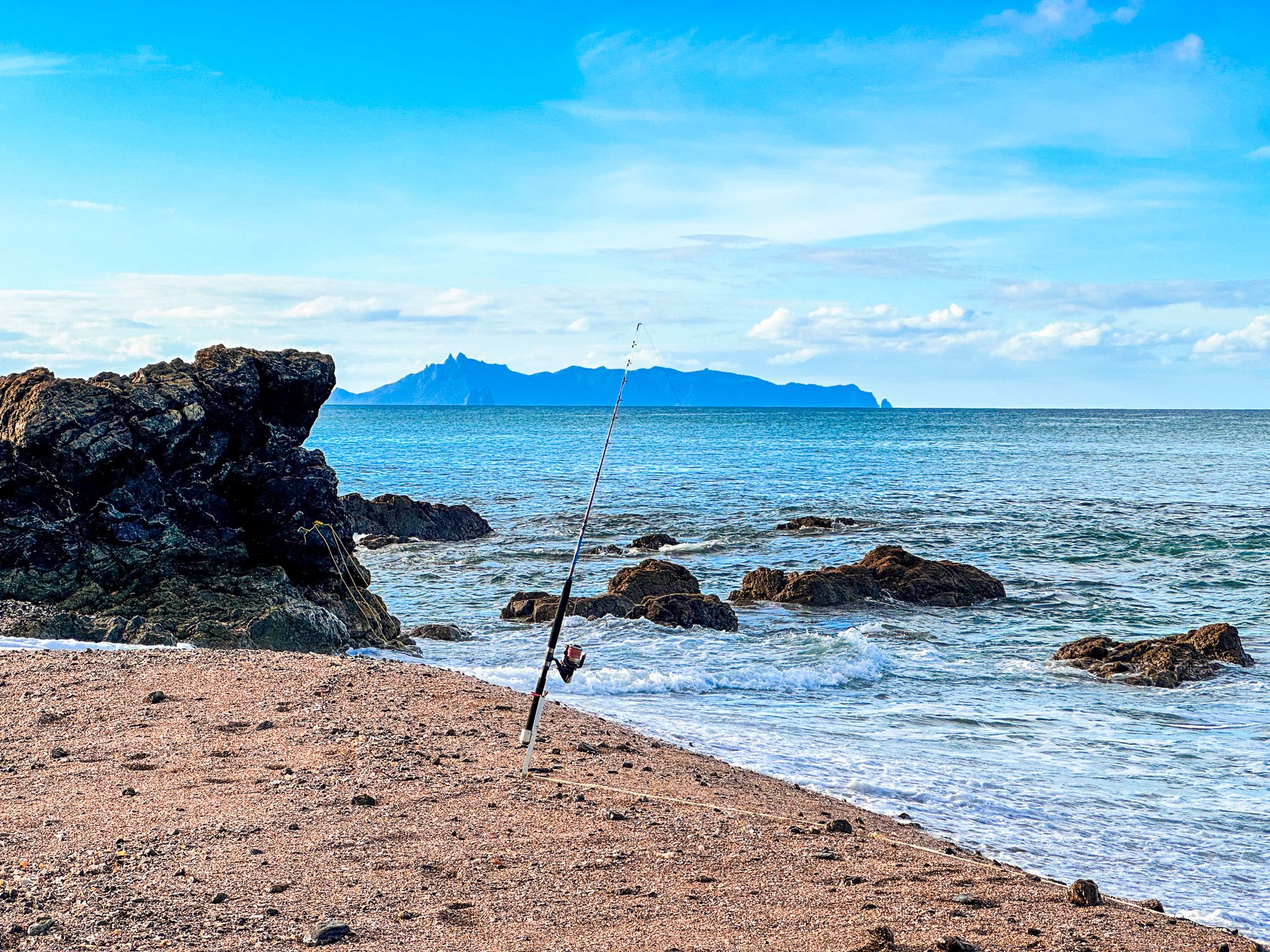
These are rougher than the white sand to the north and south and rich with colourful seashells. From there, you can continue around the coast to Forestry Beach at the north end of the beach, which extends 14 km to Pakiri Beach.

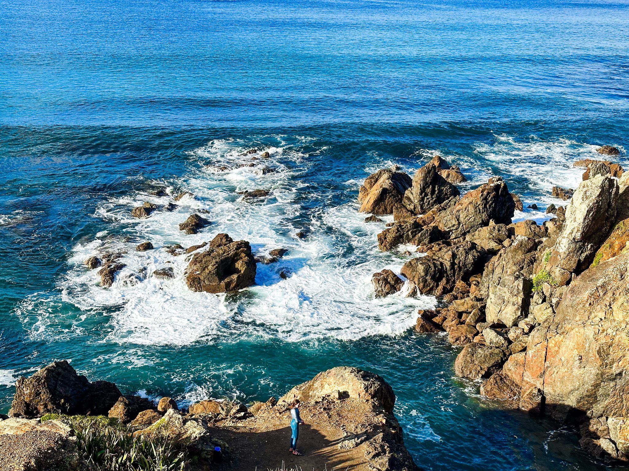


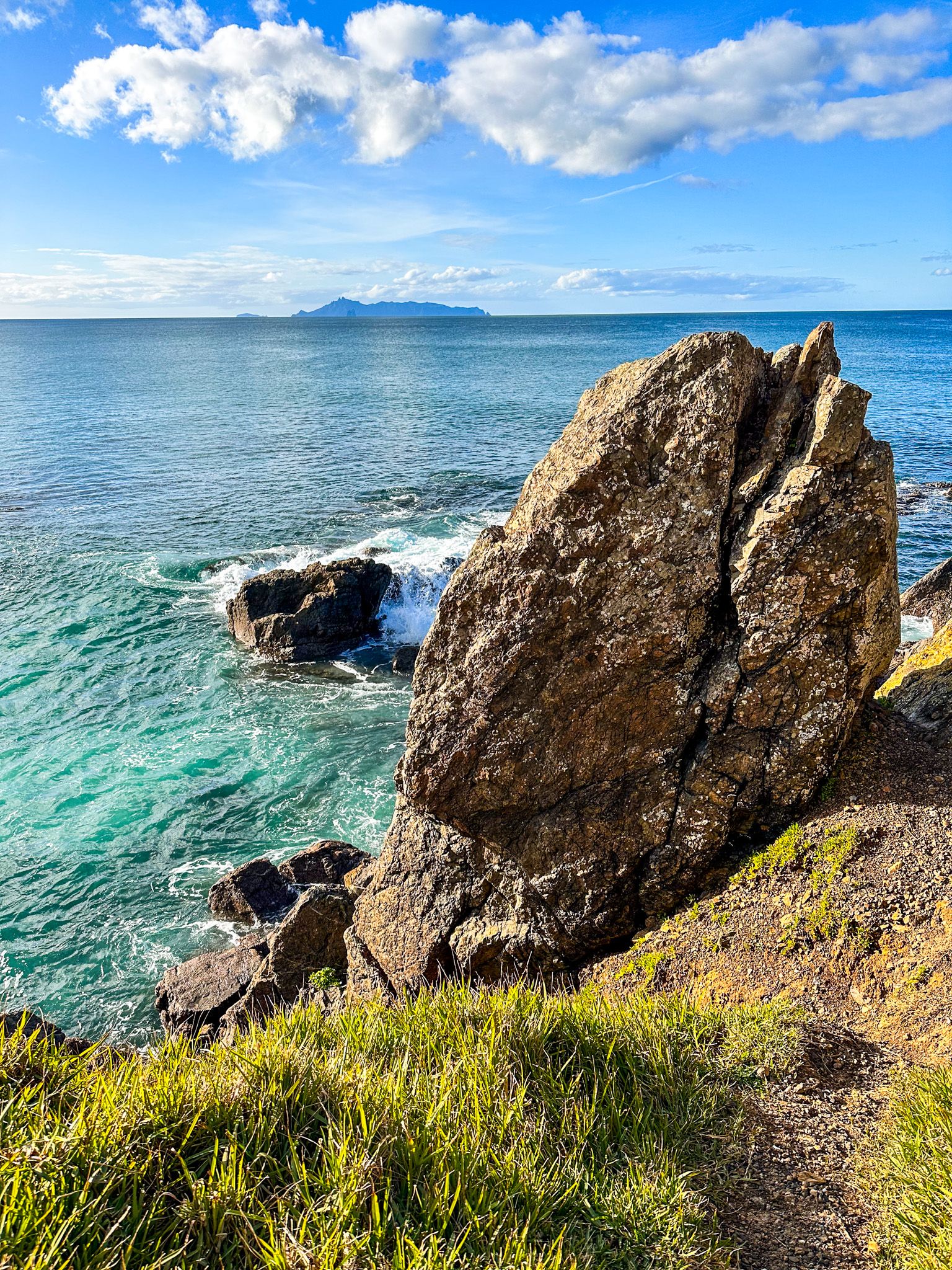
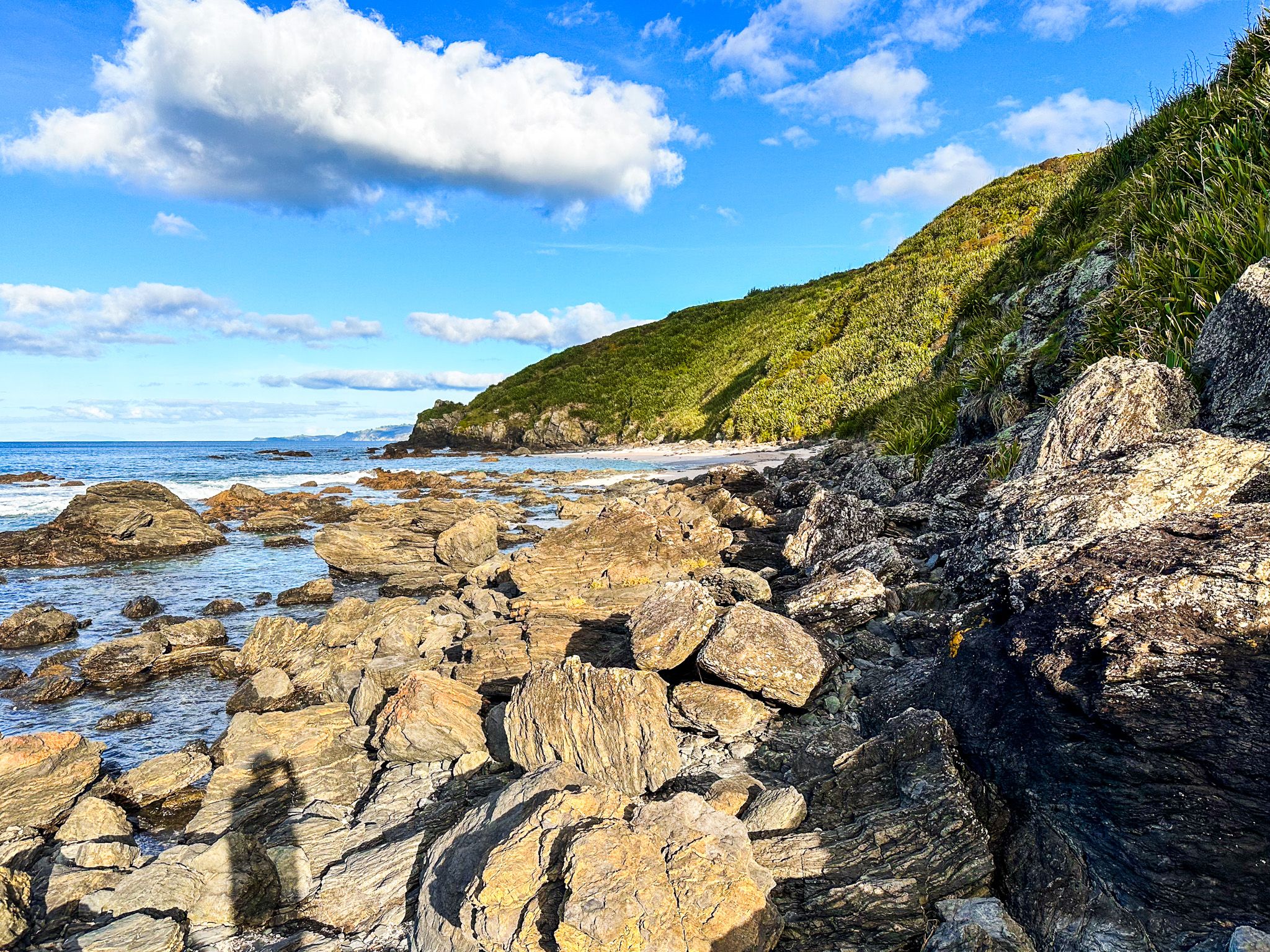
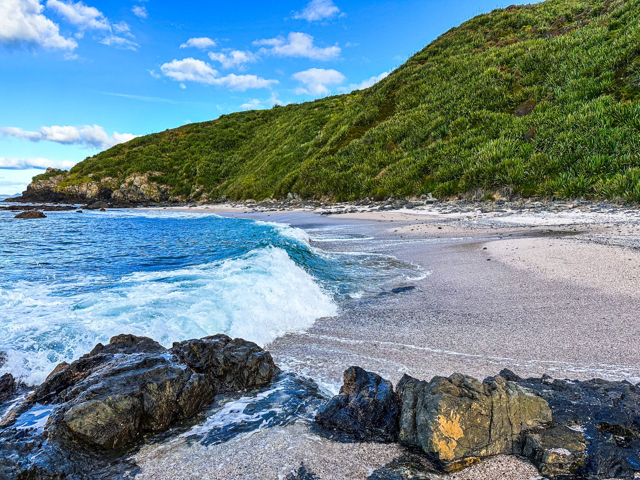
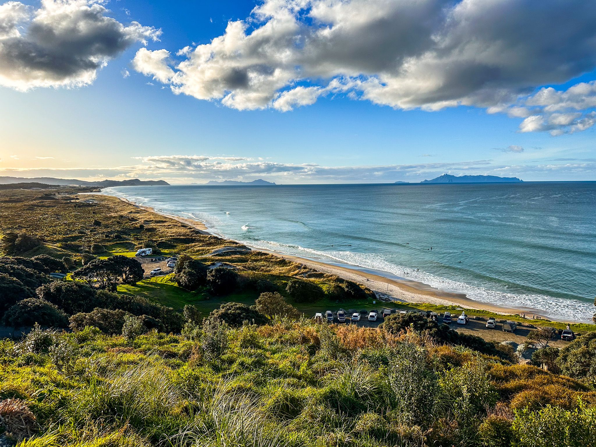
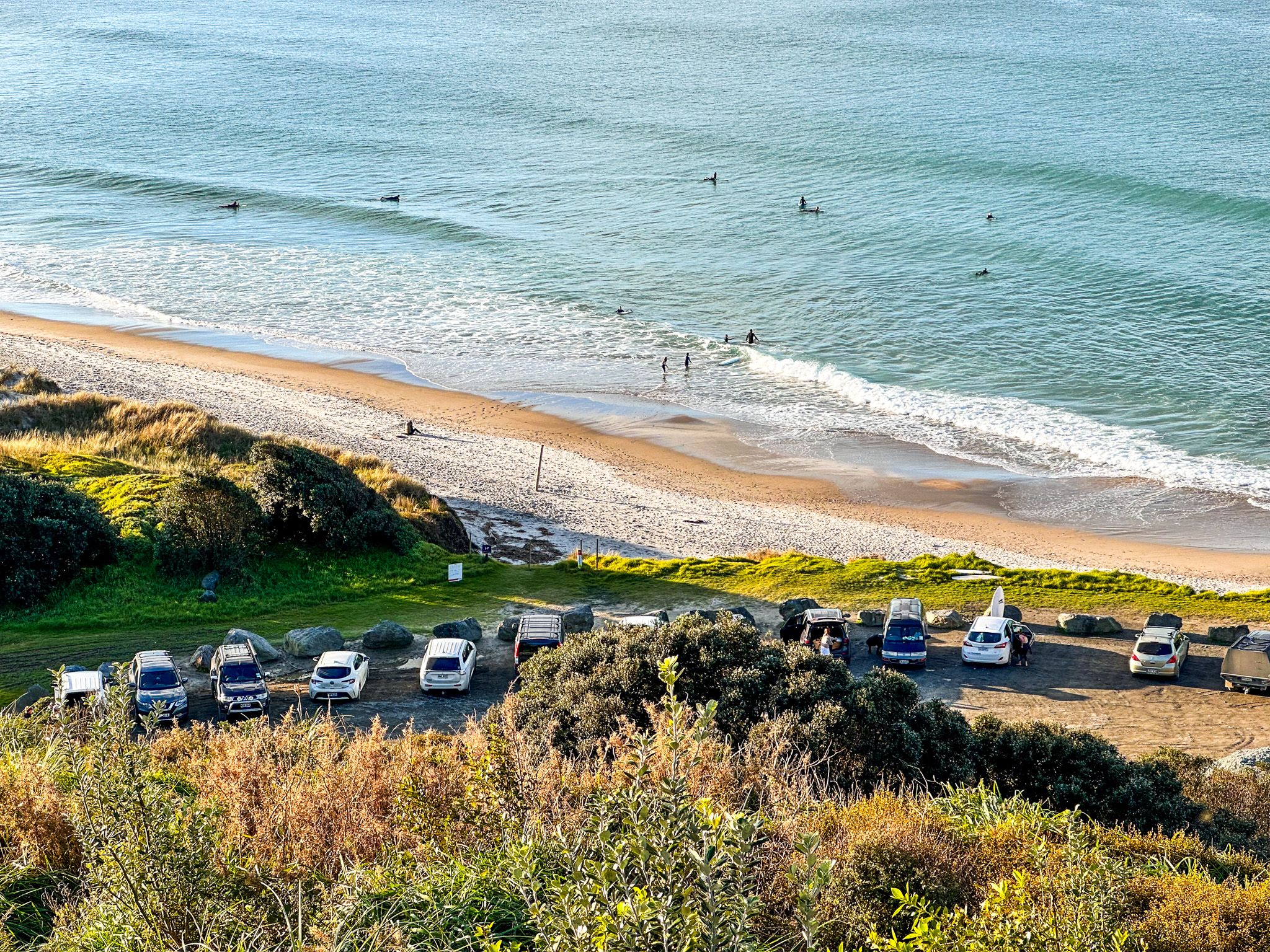
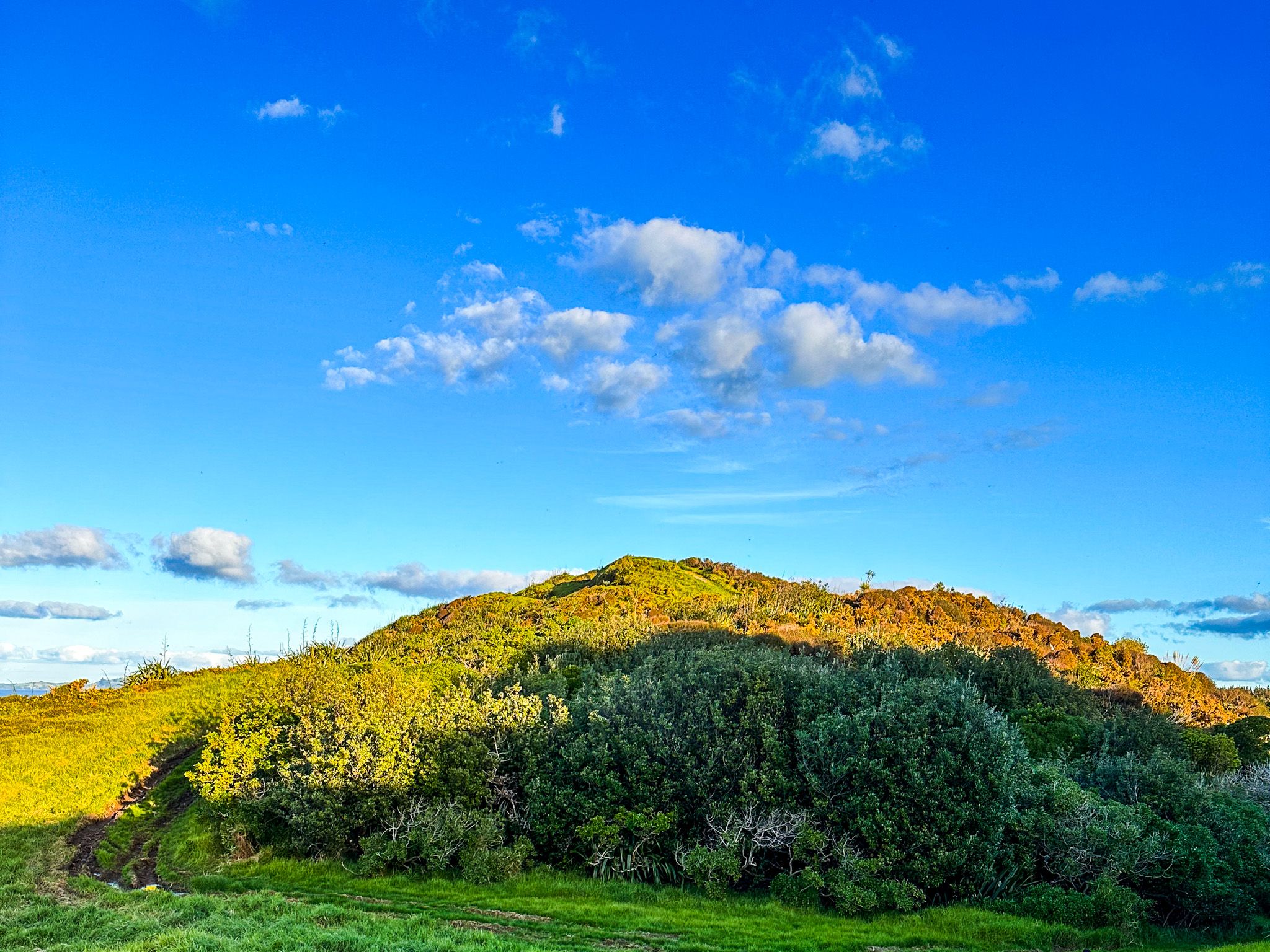
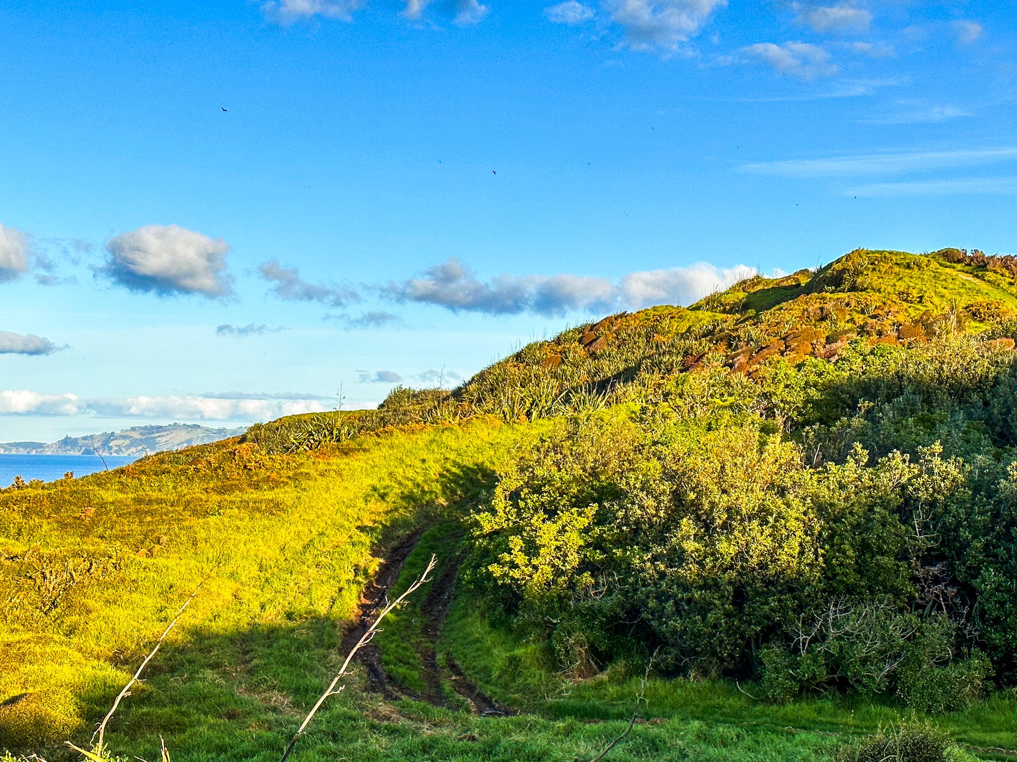
The other option is to walk up the track from the campsite to the top of the twin points, which have fabulous views. You can continue along the cliff top to Forestry Beach or take a side track towards two small dune lakes. The walks are a mix of open rural land and regenerating coastal forest. Allow a couple of hours for a loop, with the coastline best away from high tide.
Te Ārai is one of the 28 Auckland City regional parks.