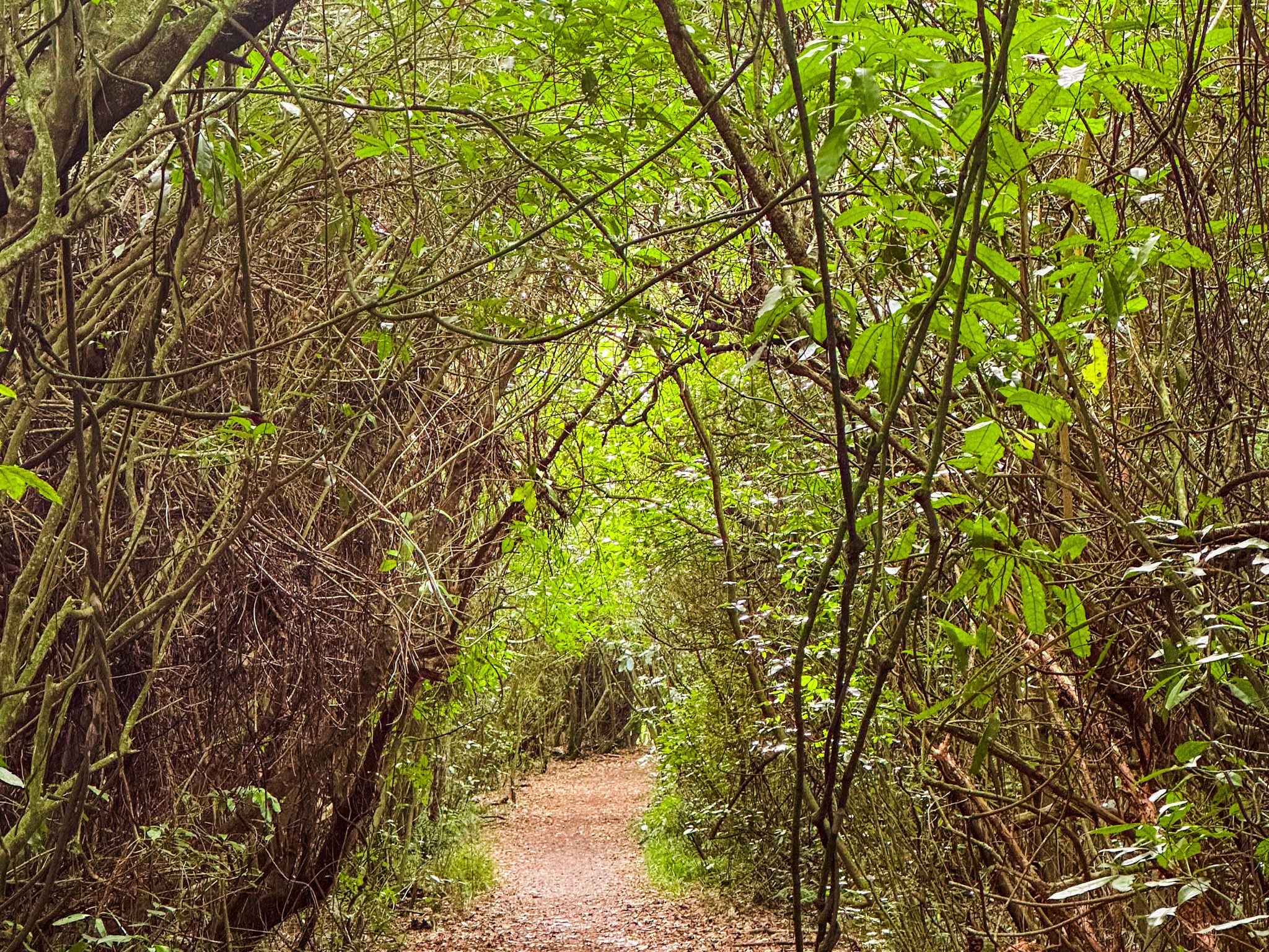
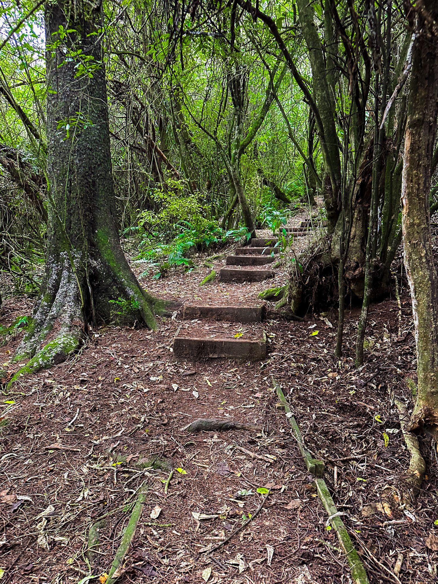
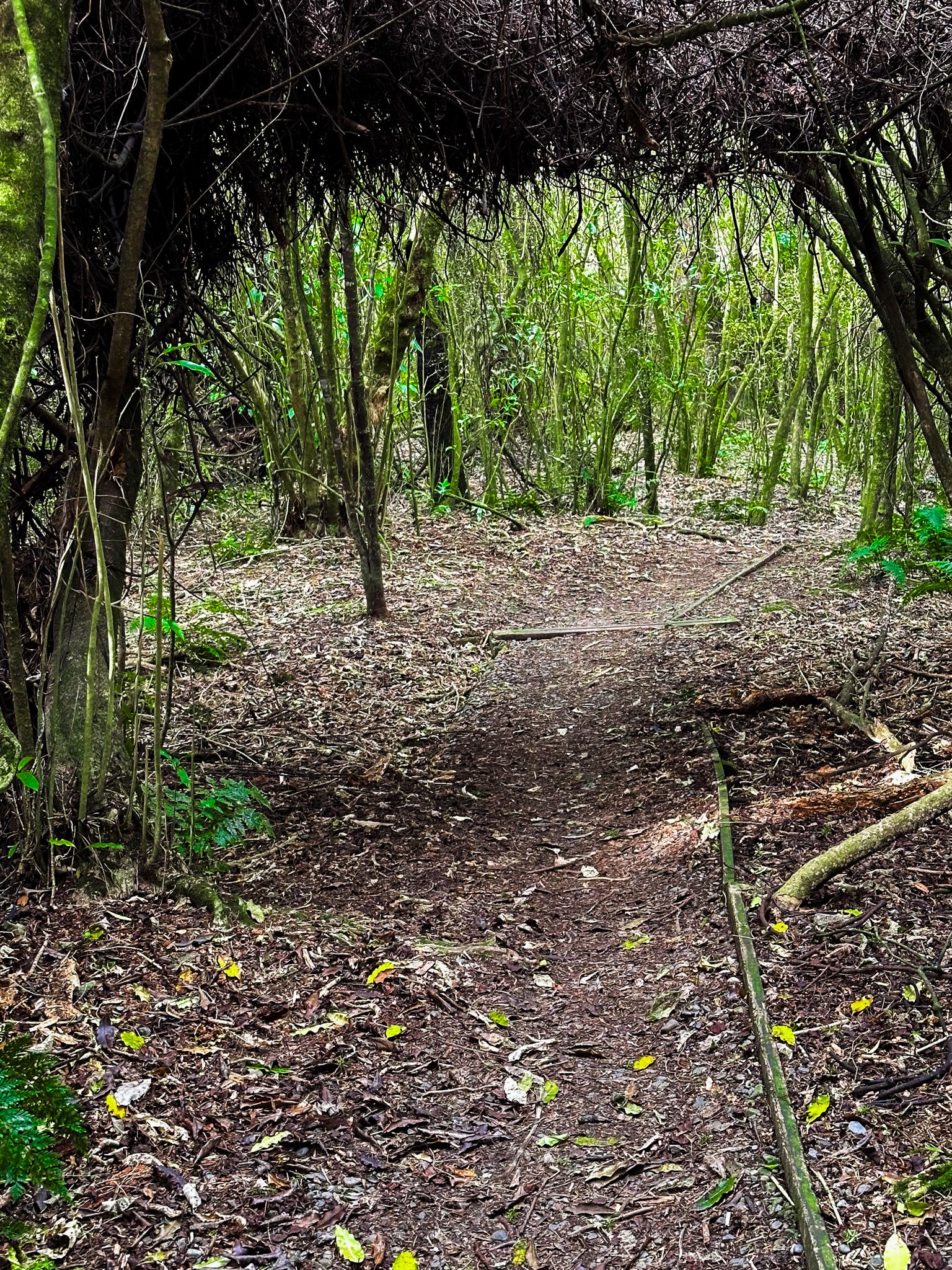
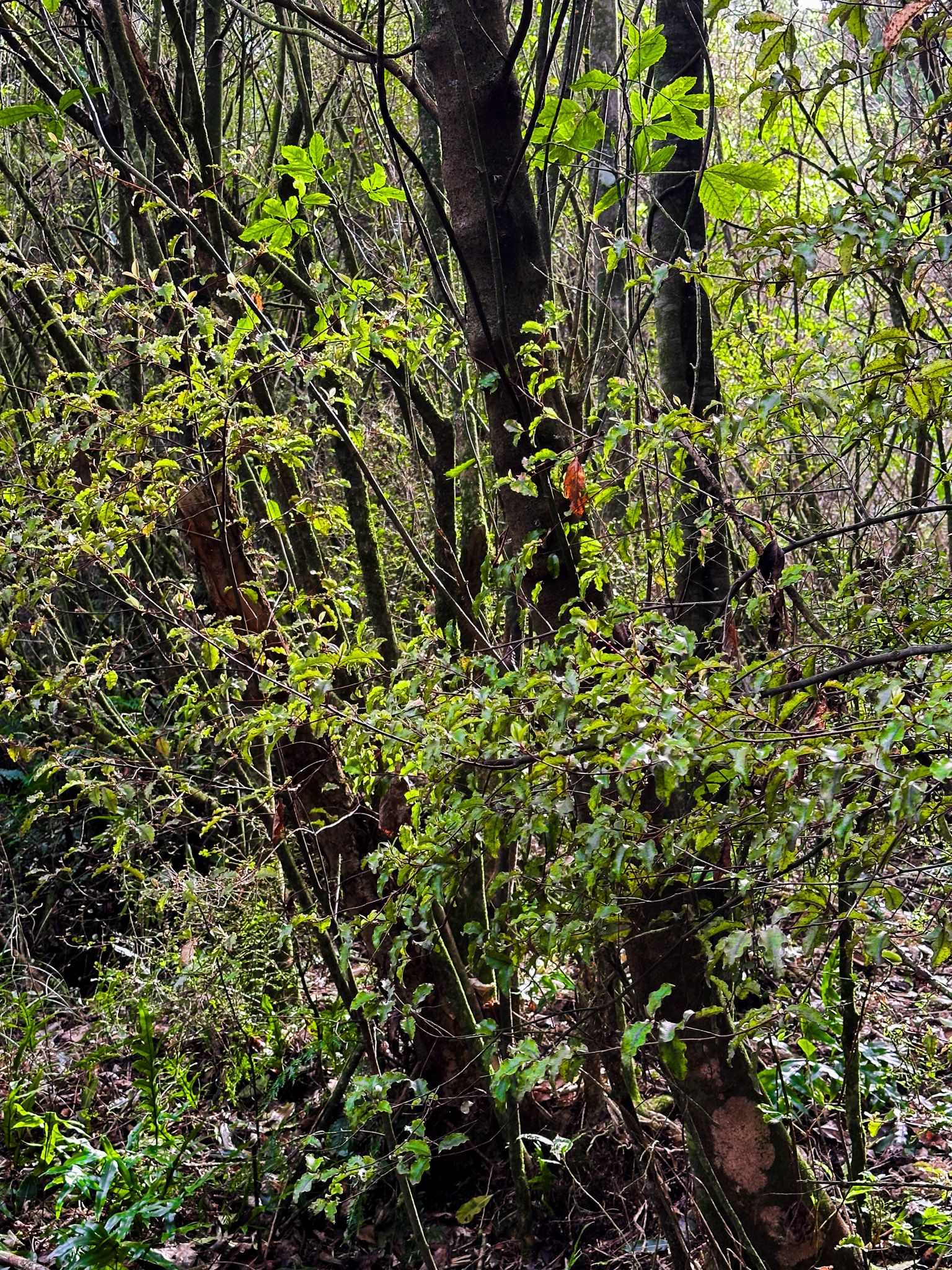
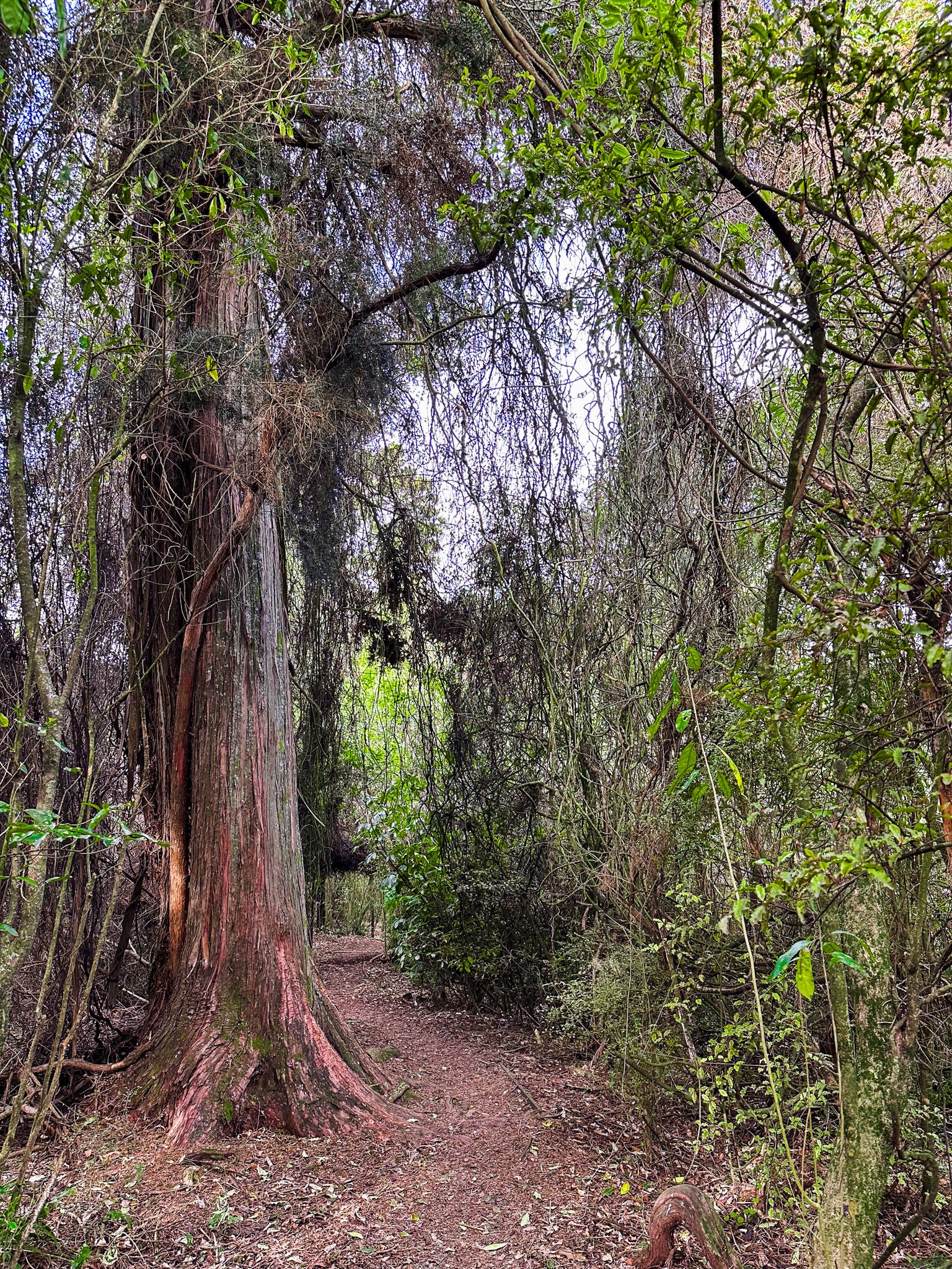
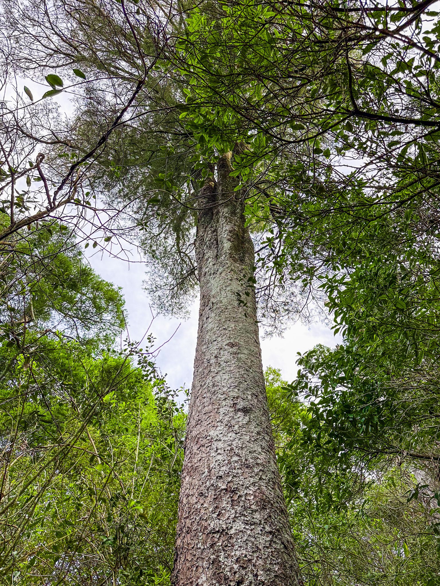
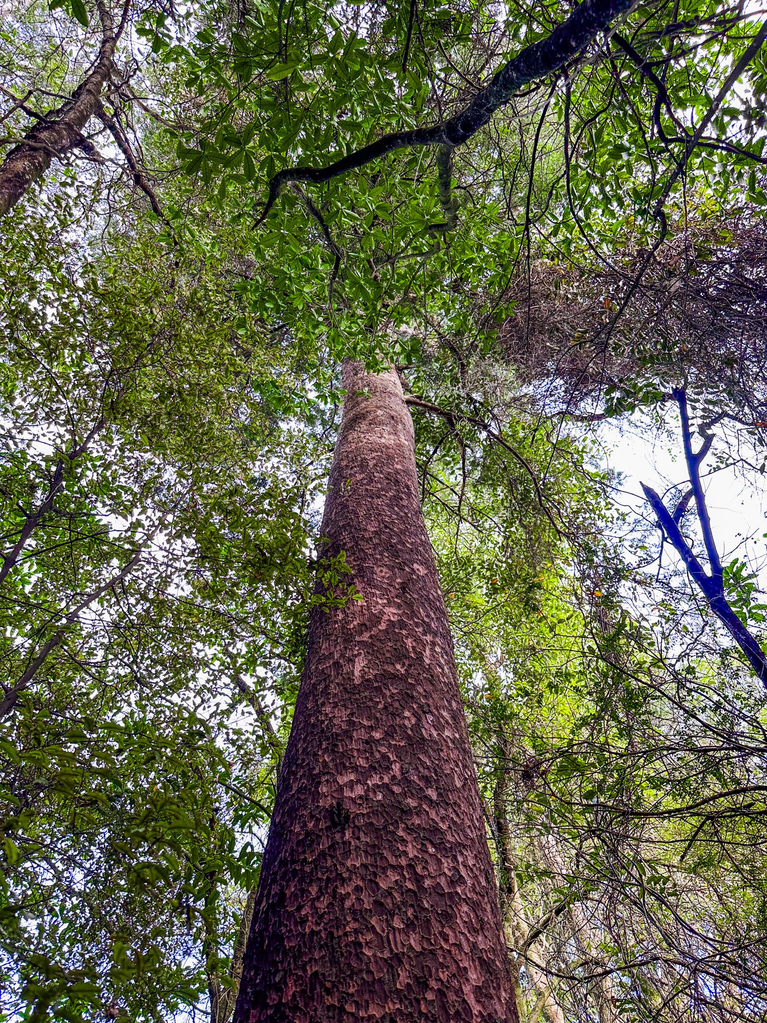
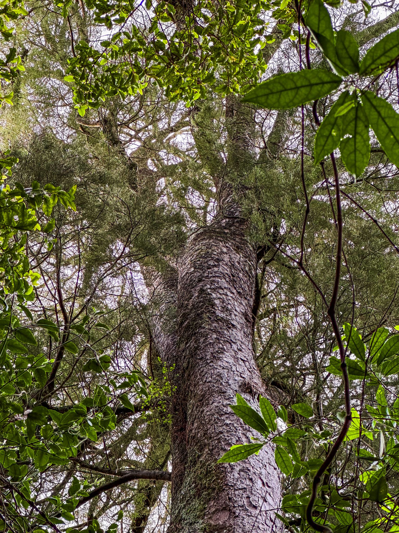
Talbot Forest Scenic Reserve is a short walk from the Geraldine town centre, right on the edge of the foothills to the Four Peaks Range. It is small, taking only about 20 minutes to walk across, and is the last remnant of a vast native forest that covered Geraldine and surrounding areas. This small forest is a survivor of the burn-off across the drying-out Canterbury Plain between 800 and 1,000 years ago and further reduction by European settlers. Today, it is nationally significant as one of the few surviving examples of a lowland “dry” podocarp forest in the South Island. Although the trees are the same as the wetter nearby Peel Forest, about 25 km to the north, some undergrowth plants are different and adapted to the generally drier conditions.
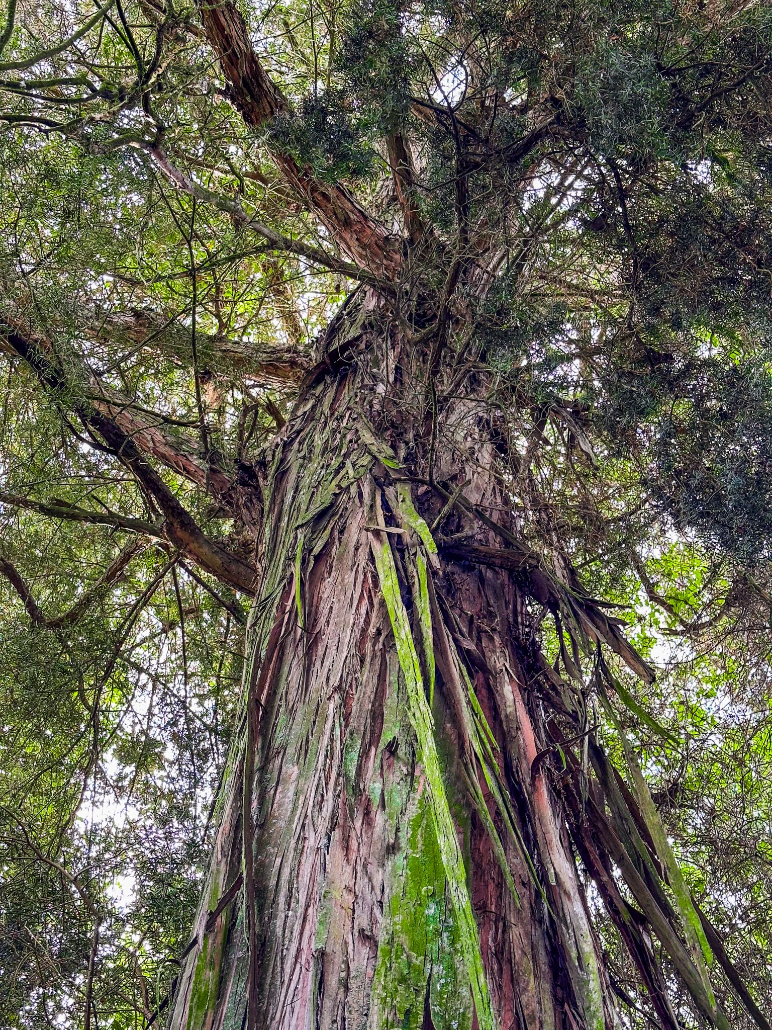
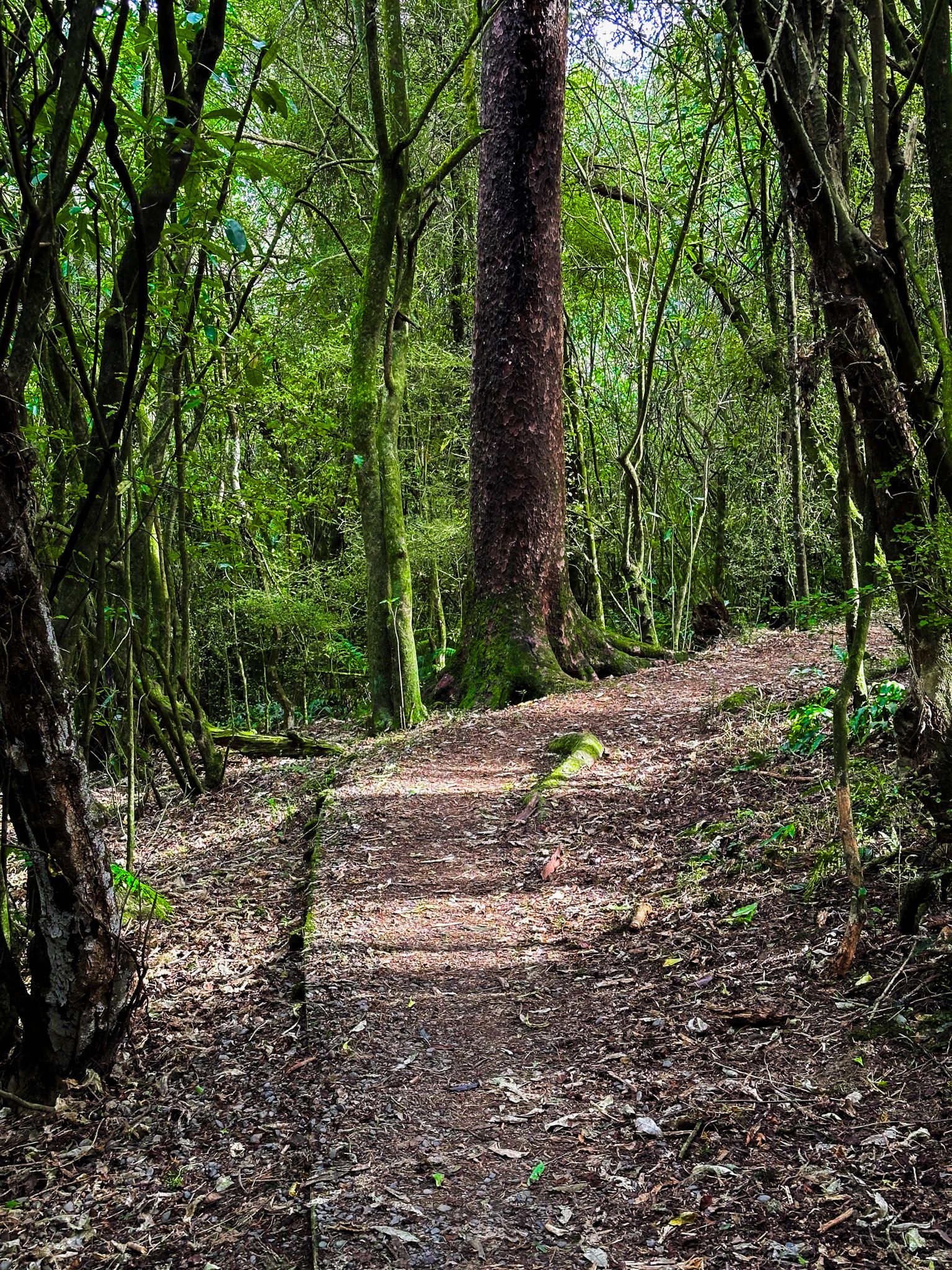
Despite its modest size, the reserve is home to various native hardwood and podocarp trees, including mataī, kahikatea, and tōtara. The reserve has four easy, connected walks and picnic tables. The Kahikatea Track (20 minutes) connects Hislop Street with Totara Street. You can find impressive kahikatea trees in wetter soil at the Hislop Street end. Tōtara Track (5 minutes) links the Totara Street picnic area with Tripp Street. It includes the largest tōtara tree in the reserve, around 800 years old. Reservoir Track is a 10-minute walk that connects the Tripp Street picnic area with Bridge Street via a water tank. Mataī Track (20 minutes) connects Tripp Street with Totara Street, featuring mataī, known for its needle-like leaves, near-black trunk, and distinctive hammered bark markings.
