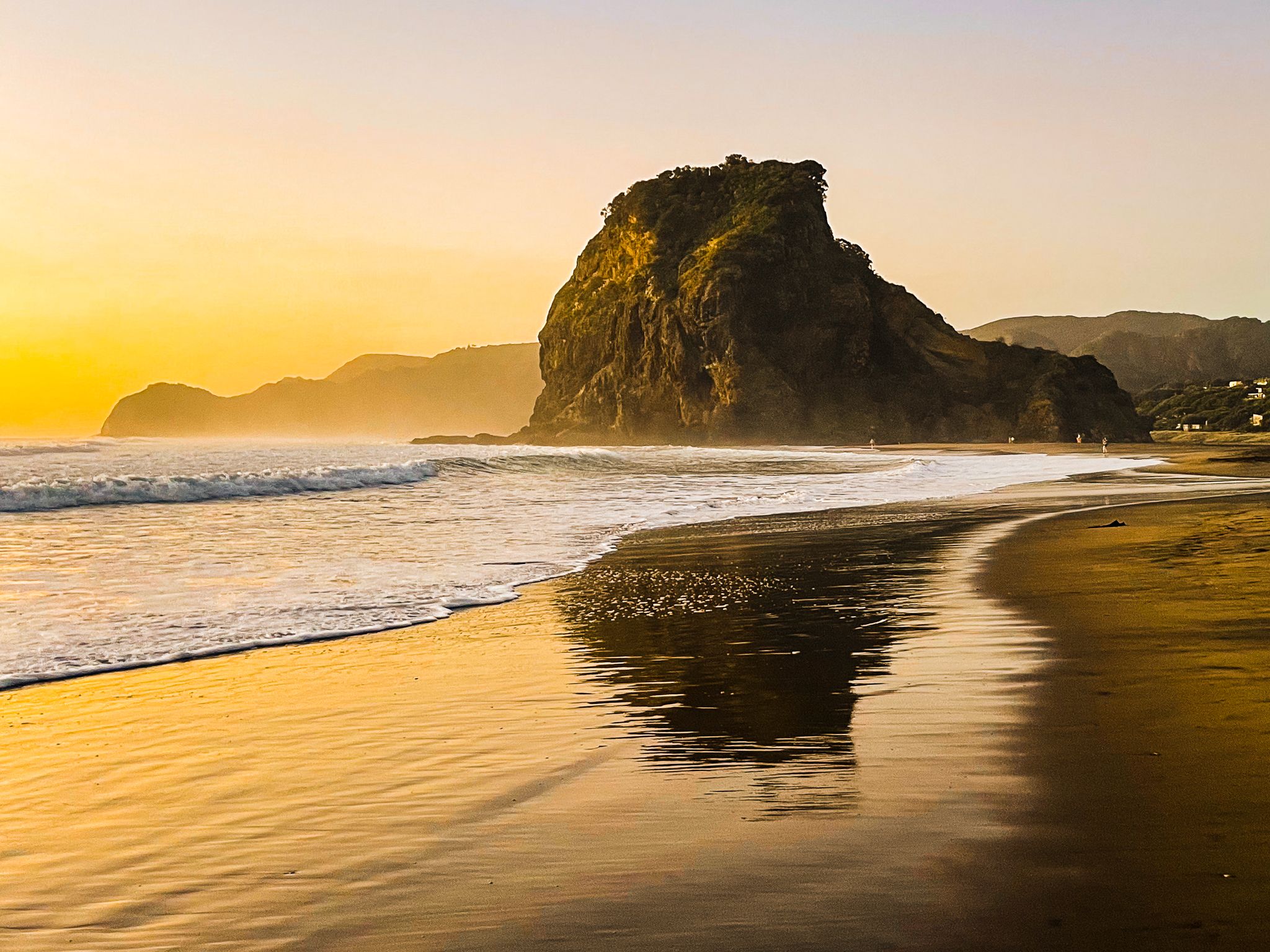
Discover Piha: An Auckland Icon
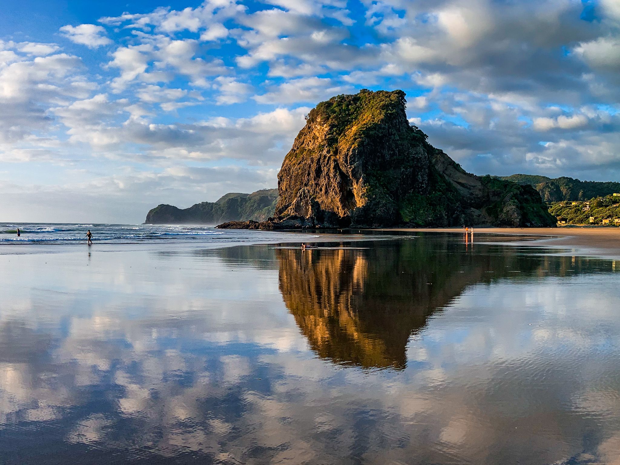
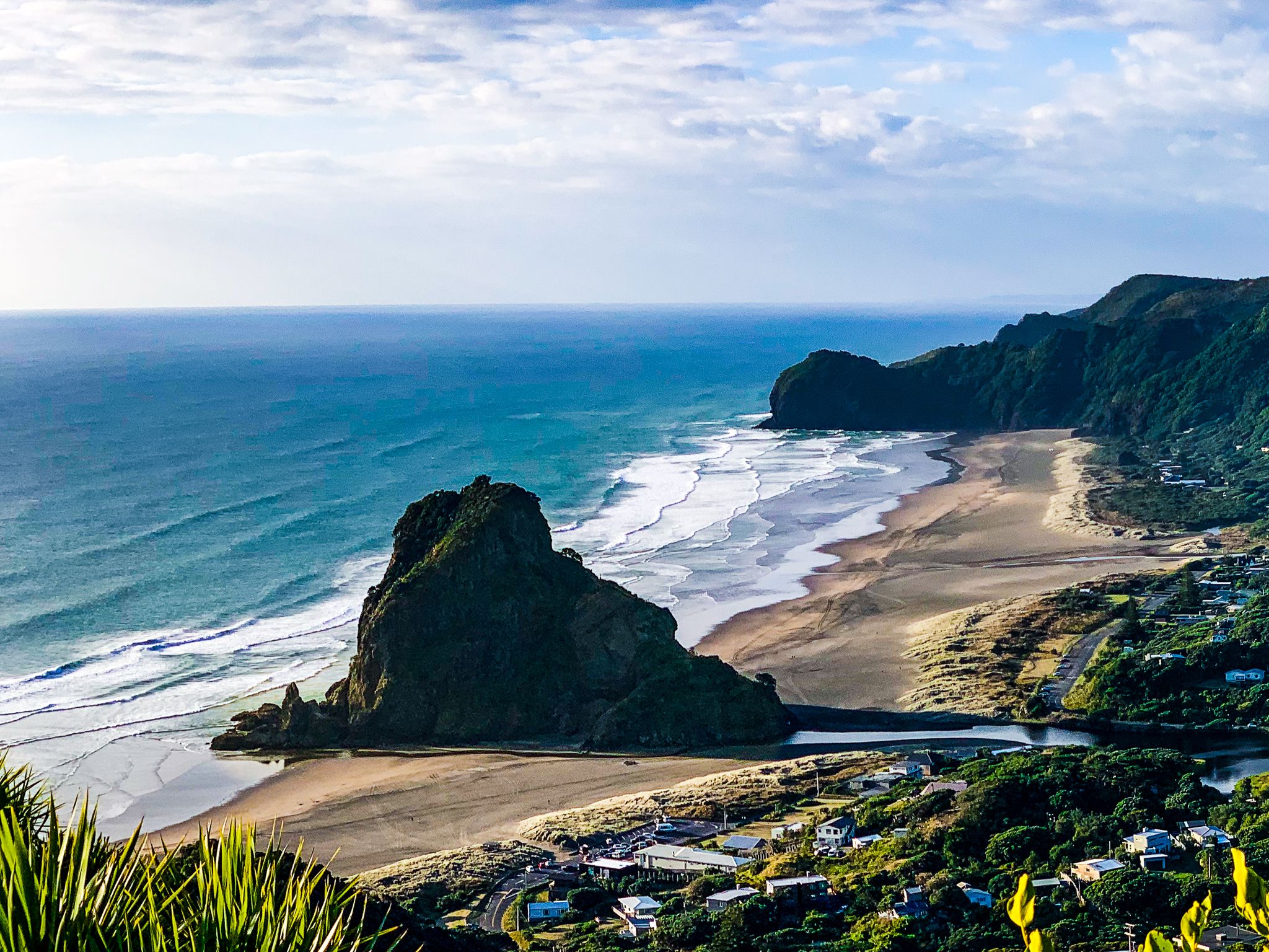
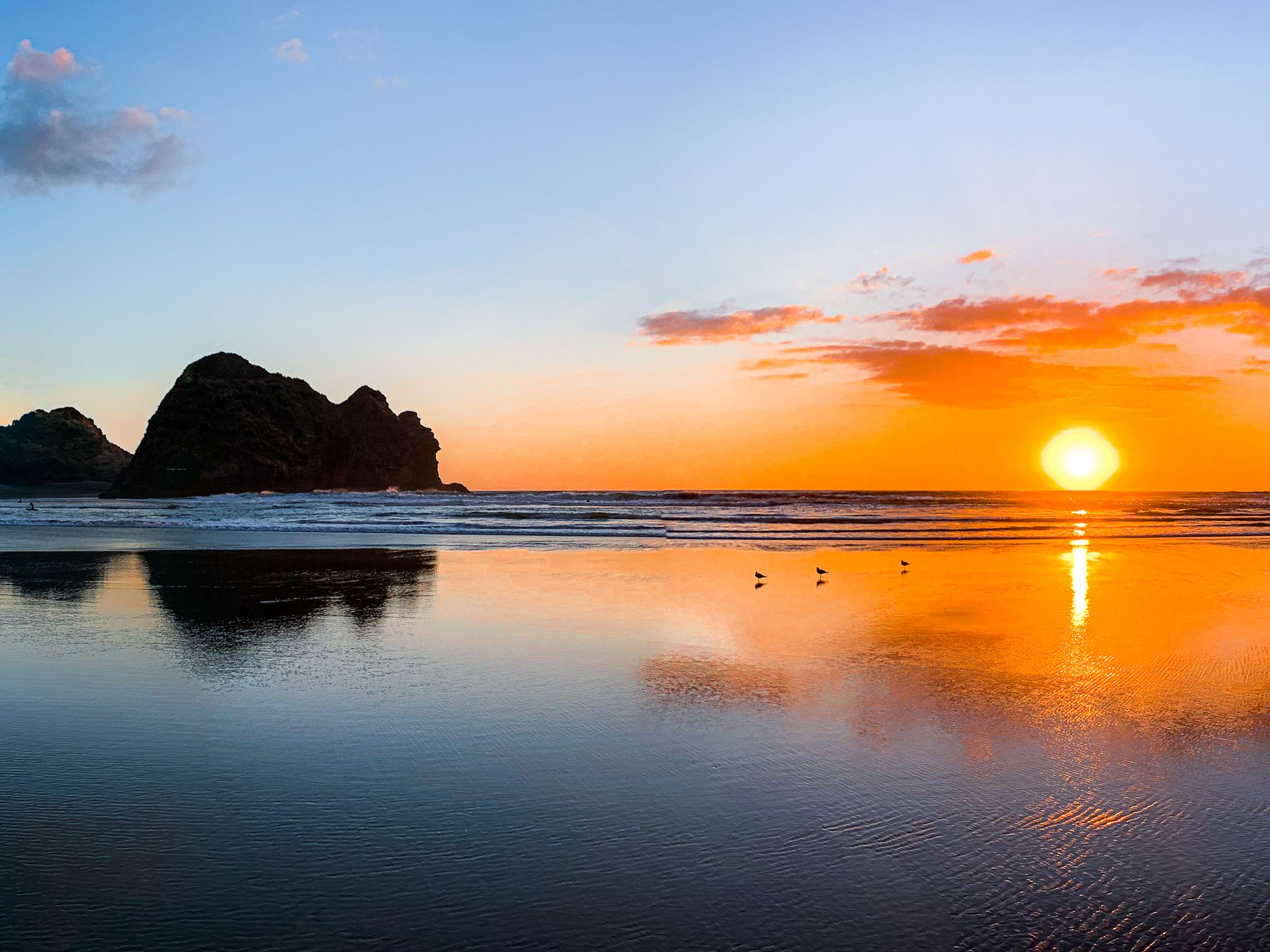
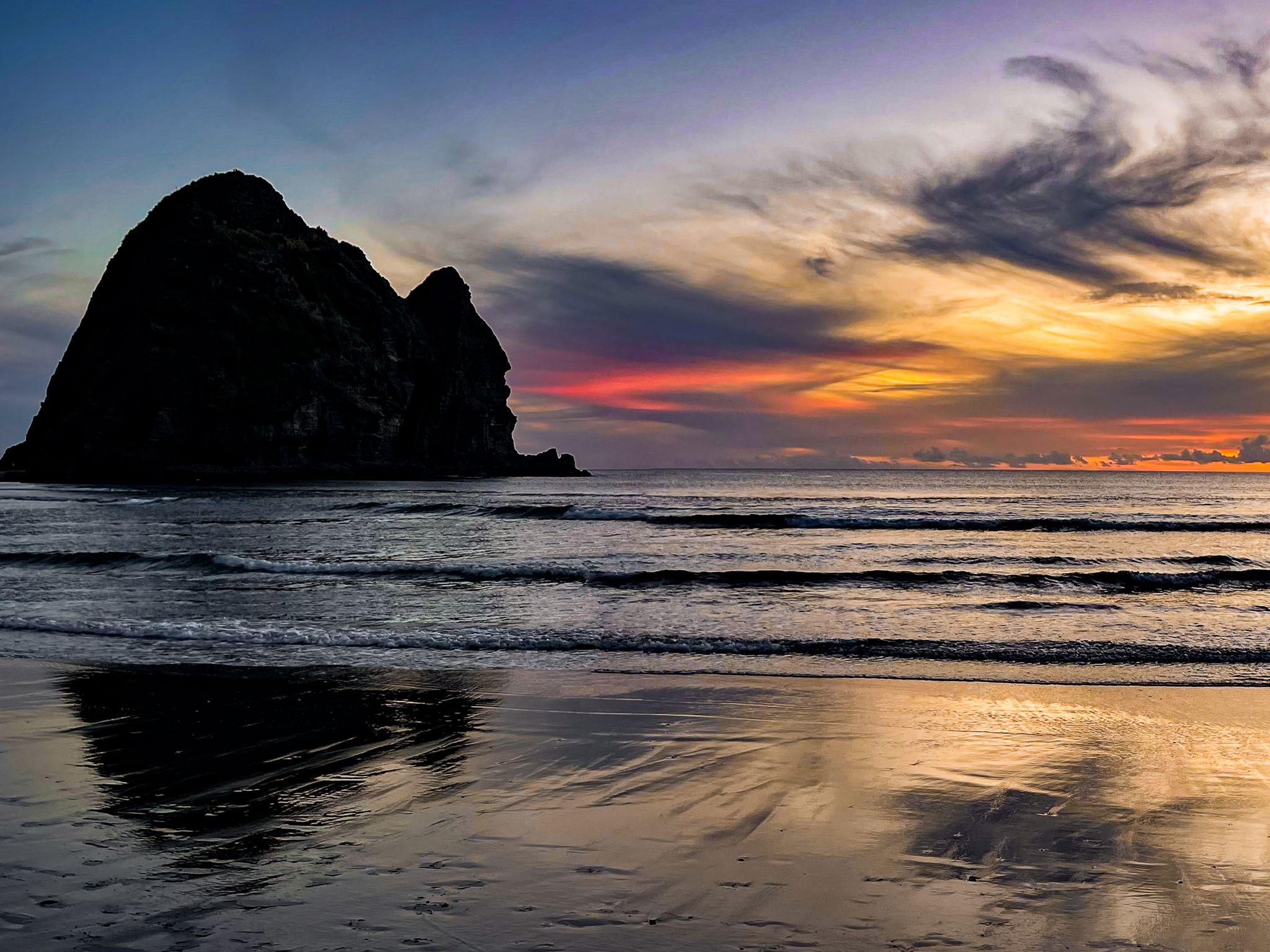
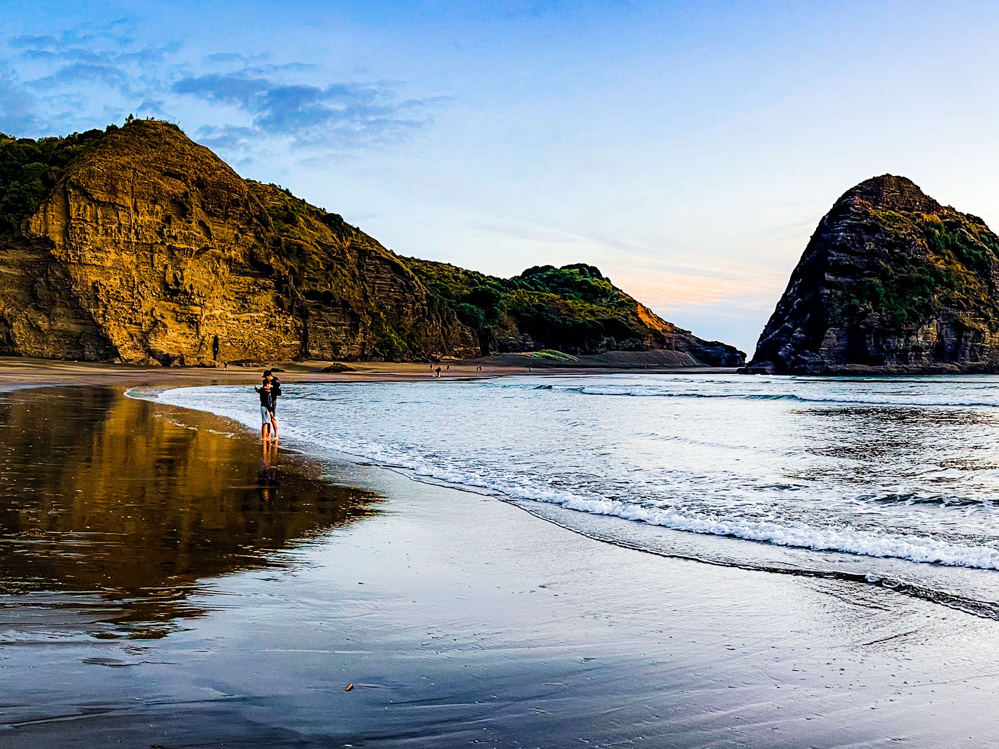
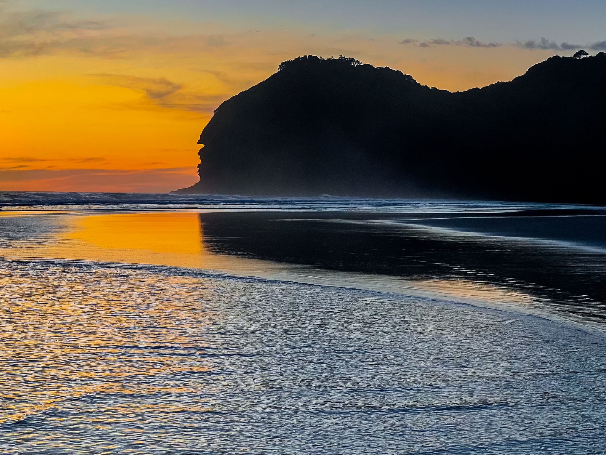
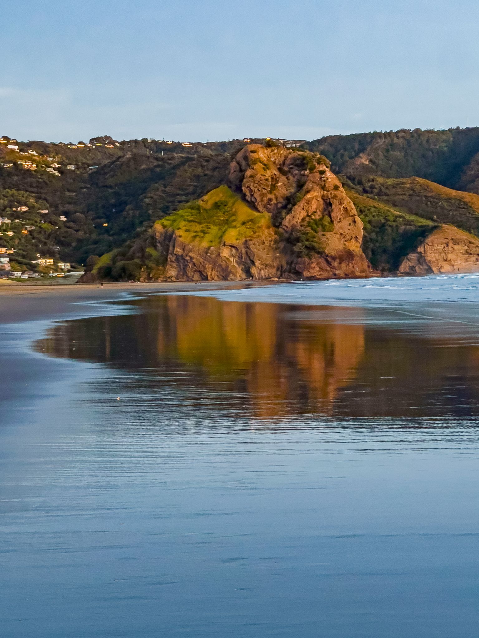
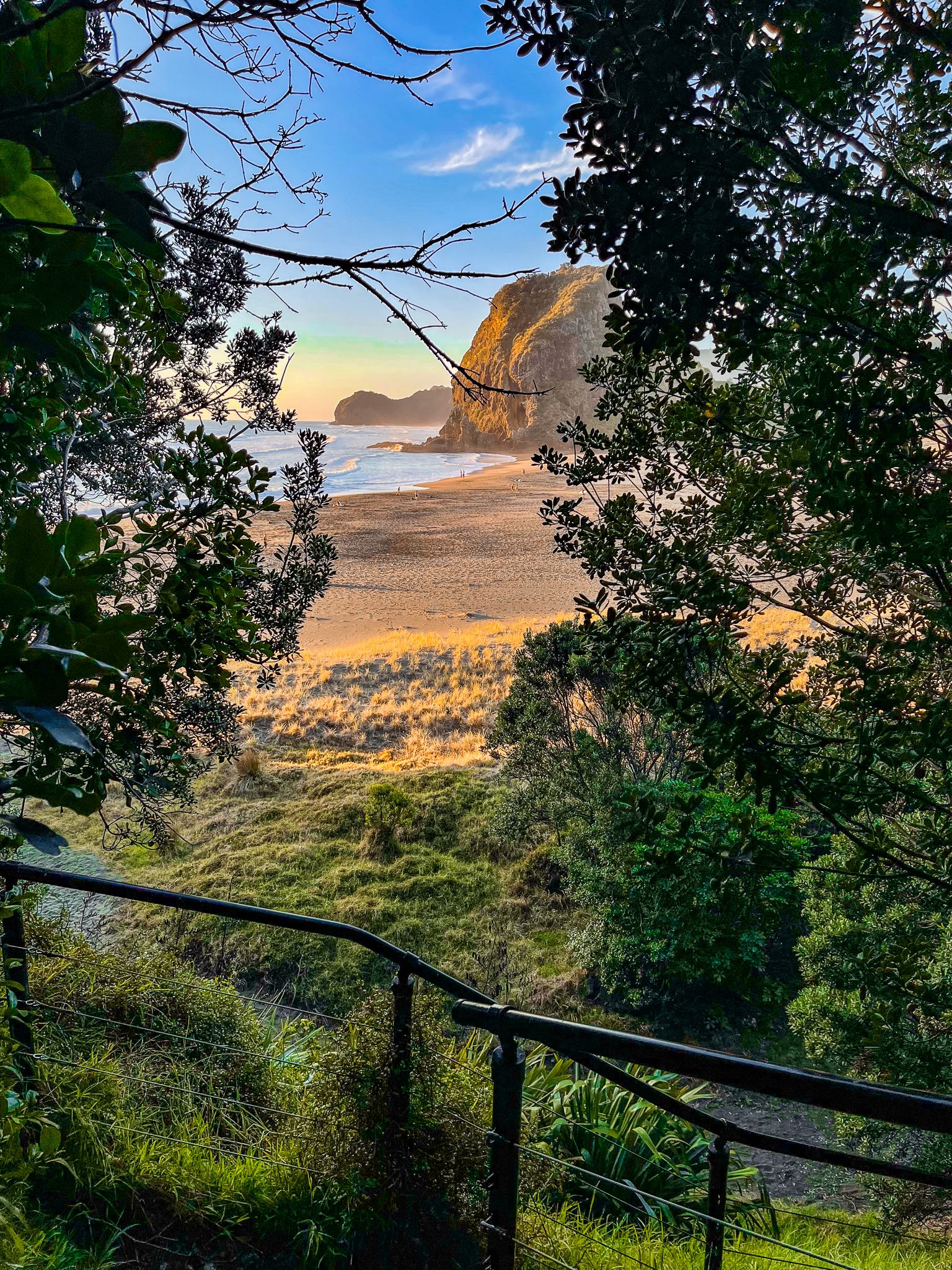
Piha is a charming beach town located on the west coast of Auckland, just an hour's drive from the city centre. Located on the edge of the Waitākere Ranges, this small town is home to around 1,000 residents, cafés and restaurants, a gallery, a couple of shops, and a motor camp. Piha is renowned for its stunning landscapes, including the iconic Lion Rock, expansive black-sand surf beaches, and hiking trails. It is a must-visit destination for surfers, beachgoers, and hikers.
Scenic Drive and Piha Road
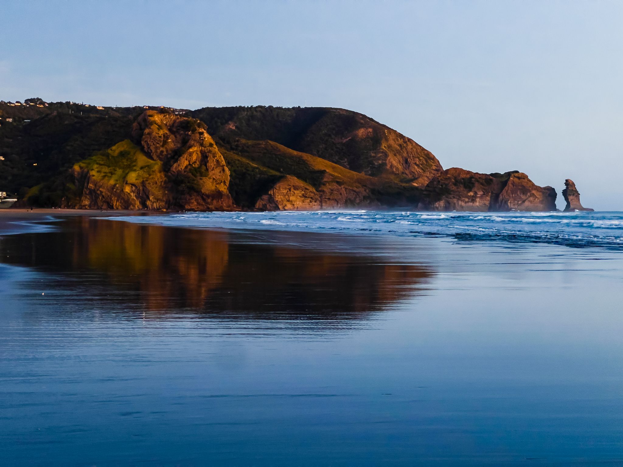
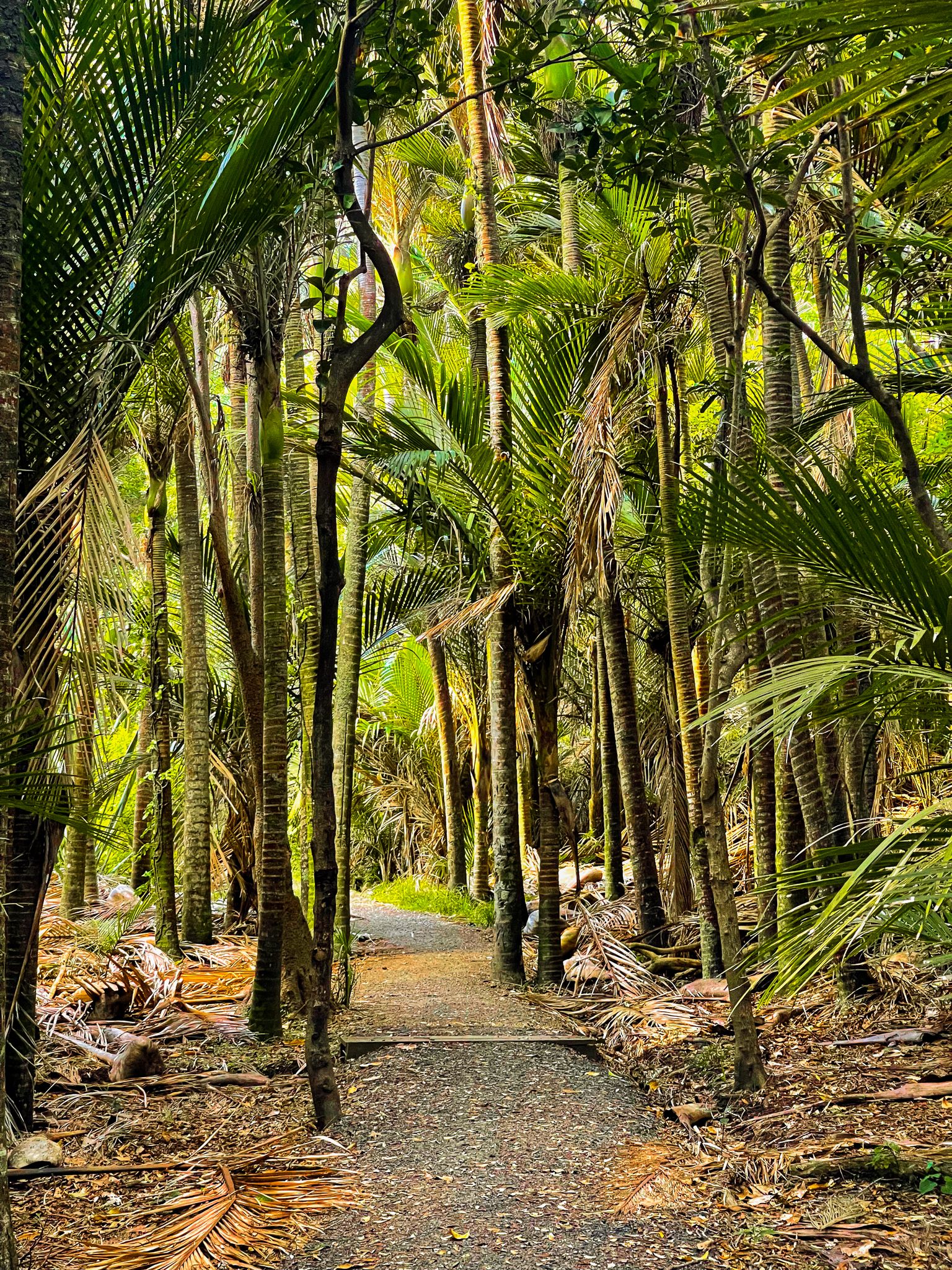
The journey to Piha is an experience in itself. As you drive through the Waitākere Ranges along Scenic Drive and Piha Road, you'll be surrounded by green native forests. Along Piha Road, take a moment to explore the waterfalls on the walk to the Upper Nihotupu Reservoir or visit the abandoned dam on the Ian Wells Track. Upon reaching the final hill, you'll be greeted with a breathtaking view of Lion Rock and the expansive surf beach below.
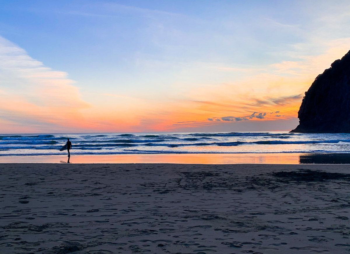
Surfing and Swimming at Piha Beach
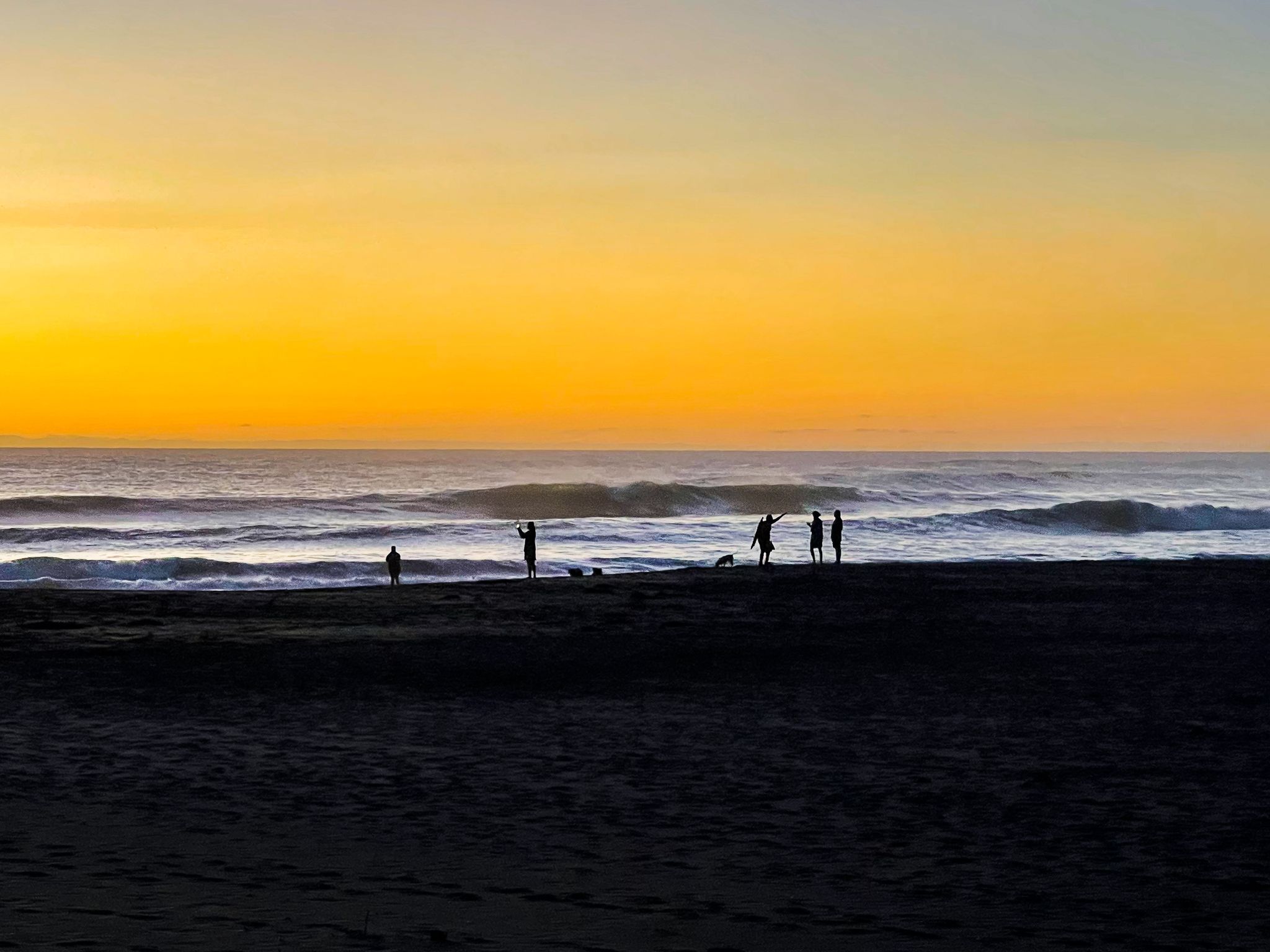
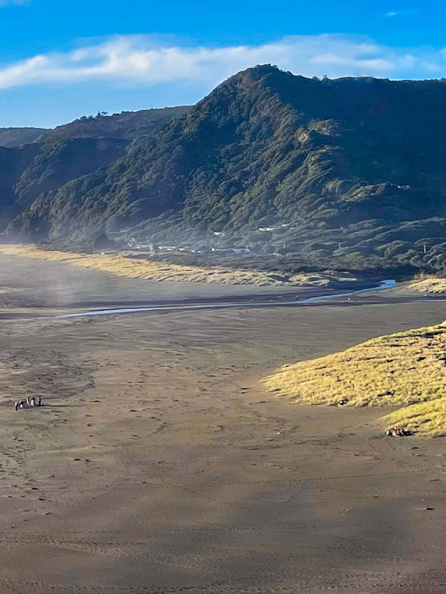
Piha Beach is famous for its excellent surfing conditions, offering some of the best waves on the North Island. For those looking to swim, there are two designated surf patrol areas: one south of Lion Rock and another at North Piha, the middle-to-northern section of the beach. It's crucial to swim within these flagged areas, as the waters outside can be dangerous.
Logging and Forest Recovery
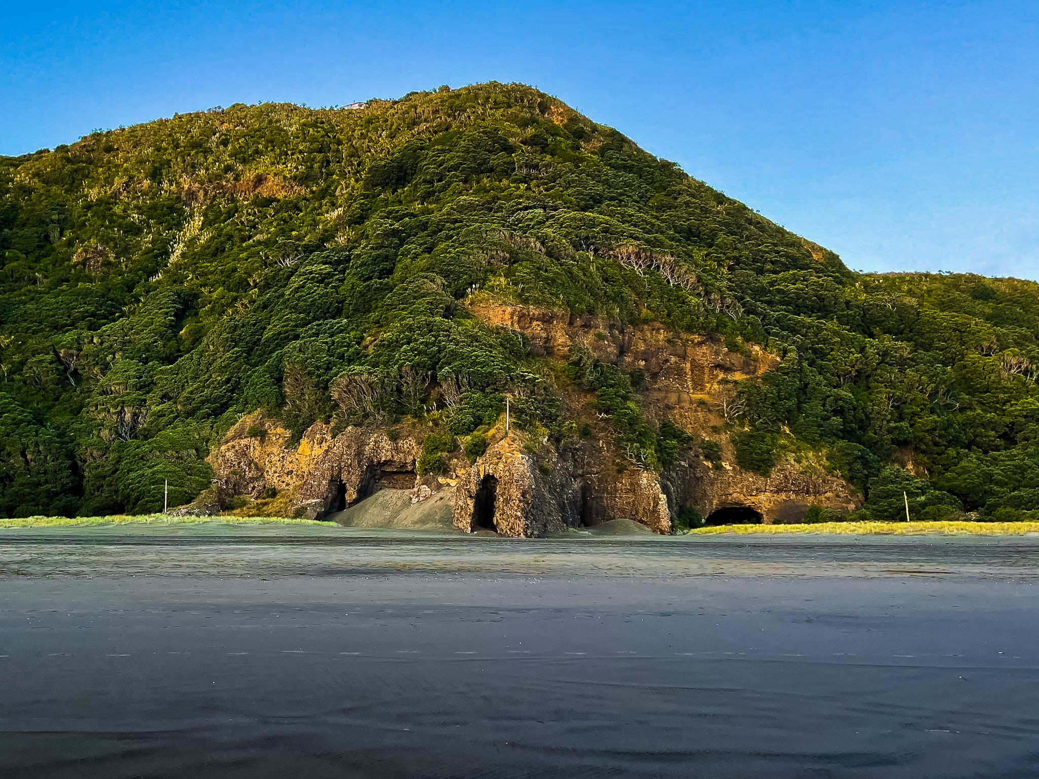
In the 19th century, European settlers logged Piha’s dense kauri forests, transforming the area into a remote beach settlement. By the early 20th century, Piha had gained recognition for its surf lifesaving, walking tracks with both Māori and forestry origins, and baches. Today, the forests are over a century into recovery, with kauri stands becoming increasingly prominent.
Walking Tracks and Coastal Adventures
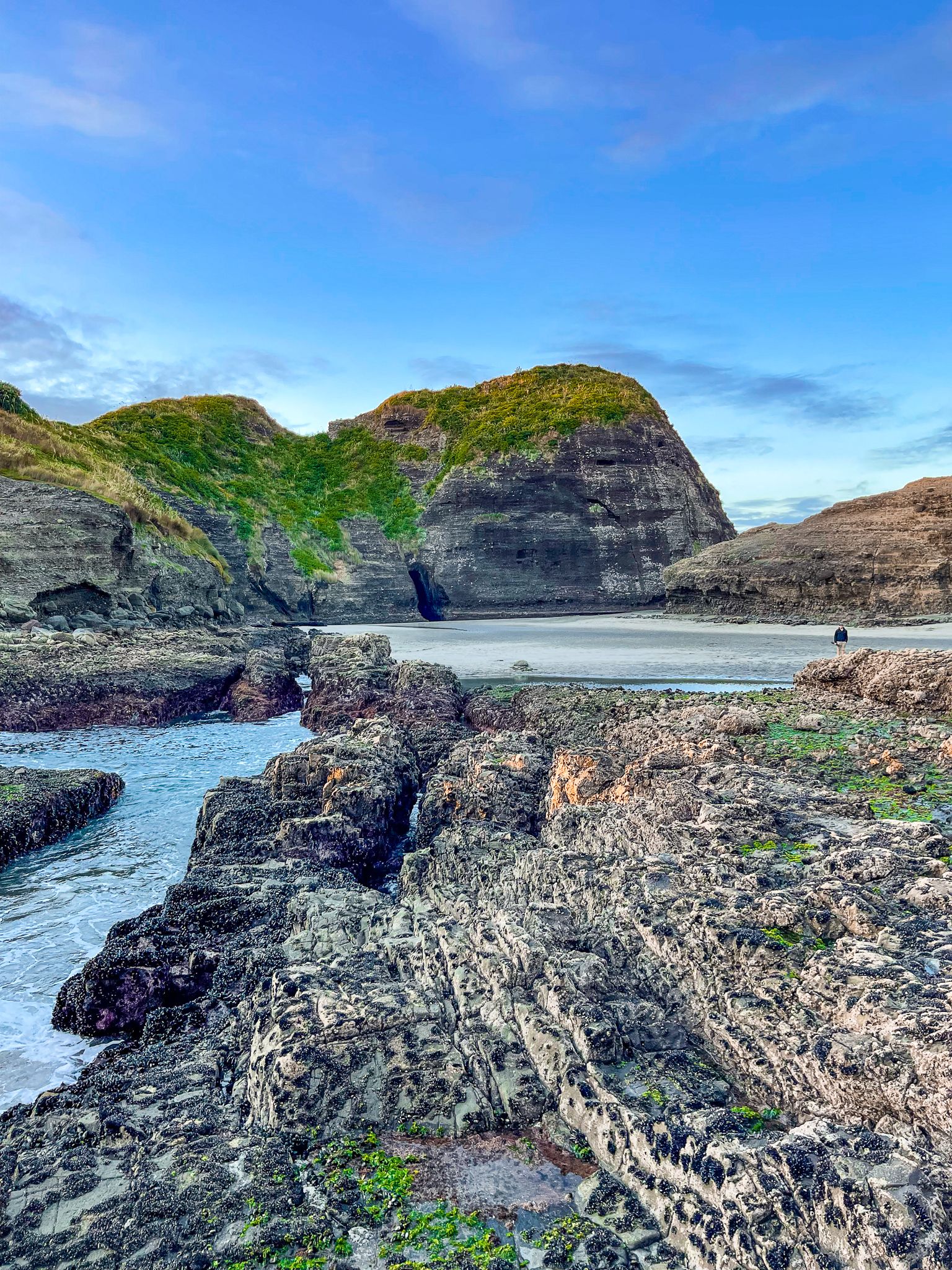
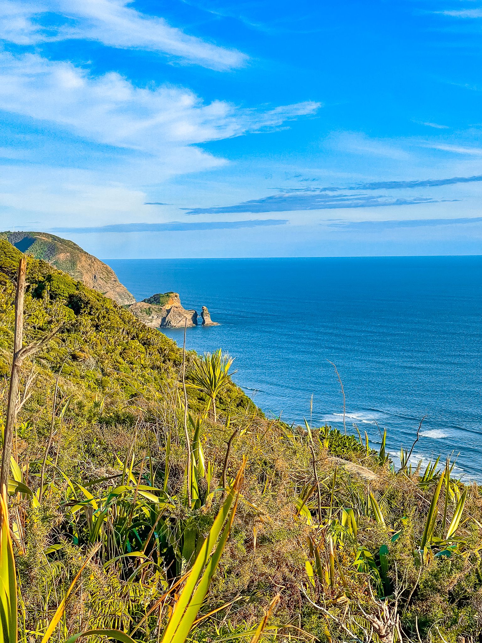
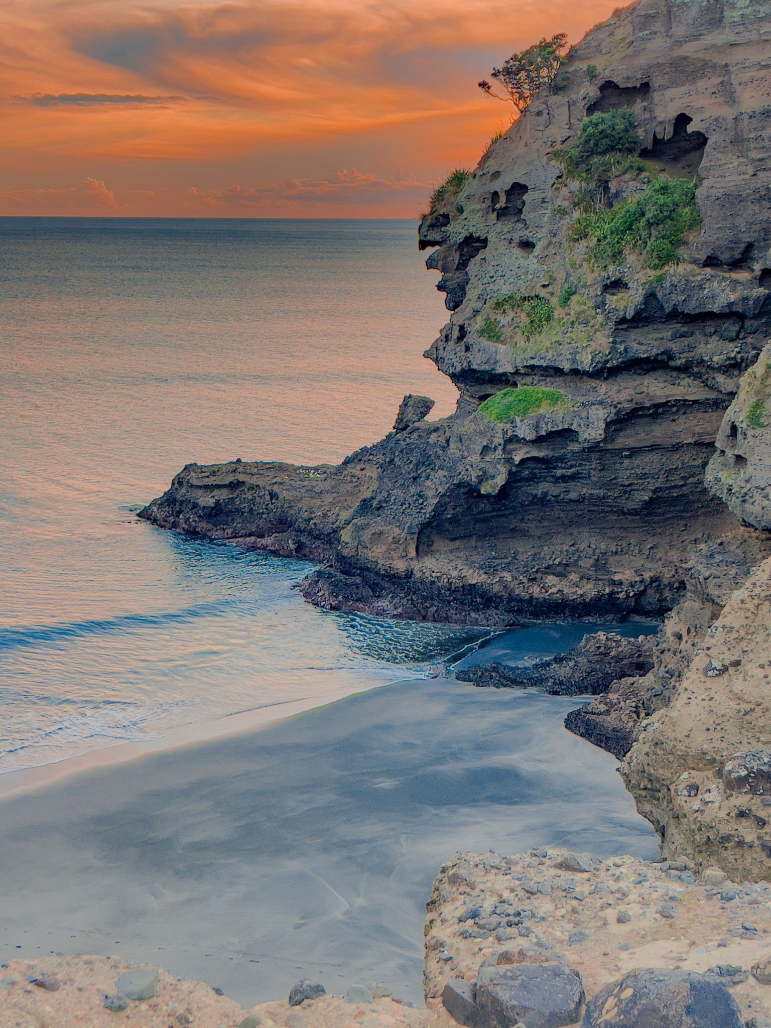
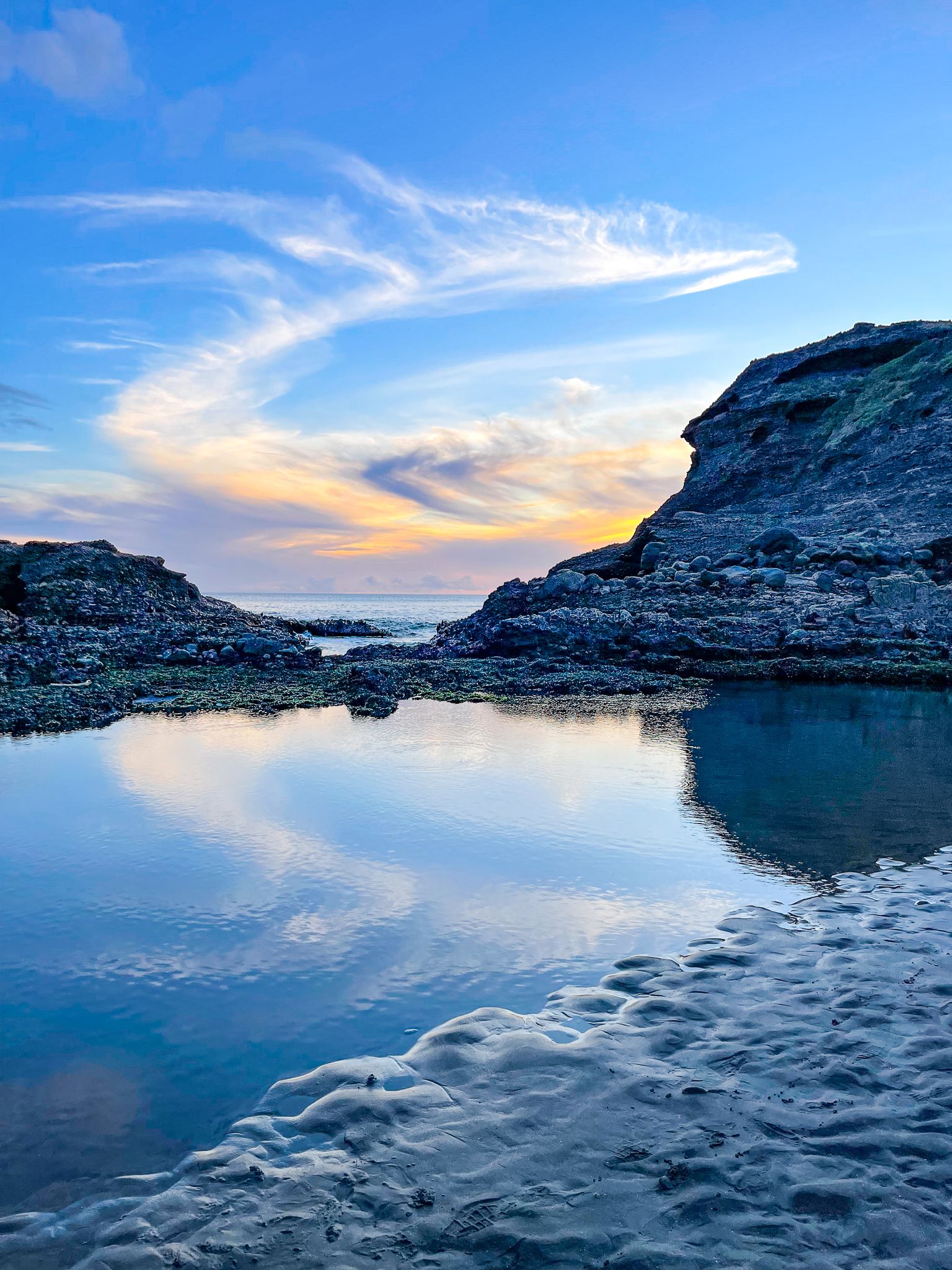
The steep headlands, regenerating forest, and volcanic coastline surrounding Piha are home to some of the region’s finest short walks. Kitekite Falls is a popular option, leading through regrowth forest to a multi-tiered waterfall and large plunge pools, perfect for a swim or photo stop on a warm day. Maungaroa Track climbs high above the town to a grove of mature kauri with fabulous views. The White Track to Anawhata Road climbs with views above Piha and provides access to Whites Beach, one of the most secluded beaches in the area. At the southern end of Piha Beach, a short walk leads past Taitomo Island to The Gap, where waves surge dramatically through a narrow channel.
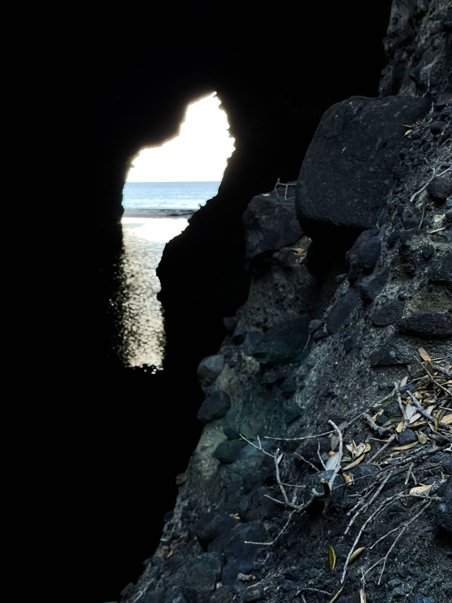
At low tide, you can seek out the Piha Blowhole, a natural passageway that can be walked through to explore the rocky coastline beyond. Another highlight is the Mercer Bay Loop, accessed from Te Ahuahu Road, which offers astonishing views from some of Auckland’s highest sea cliffs.
For a more extensive adventure, you can follow a multi-day route from Little Huia to Piha and Anawhata, once promoted as part of the Hillary Trail Te Ara Tūhura. Although this trail name is no longer in active use, the track network remains superb and provides a backcountry experience close to the city.
Māori History and Cultural Significance
Piha lies within the rohe of Te Kawerau ā Maki, who maintained pā, kāinga, and garden sites along this rugged section of the Waitākere coastline. Lion Rock, originally known as Te Piha, was occupied as a fortified pā, and terracing and midden deposits are still visible despite centuries of erosion. Nearby Taitomo Island also supported a small pā overlooking The Gap, strategically placed to monitor movement along the coast.
The name Piha is believed to describe the distinctive pattern of waves breaking on the beach or the piha, the spray-like bow wave of a waka moving swiftly through the water. These features are part of wider coastal routes, forest tracks, and seasonal settlement sites that Te Kawerau ā Maki has used for generations.
Logging, Settlement, and Forest Recovery
The European arrival in the 19th century led to widespread logging of Piha’s dense kauri forests. Many early walking routes, some originally formed by Te Kawerau ā Maki, were expanded to support the forestry industry. By the early 1900s, Piha had begun to evolve into a remote yet increasingly popular beach settlement, known for its surf lifesaving club, simple baches, and walking tracks. Today, the surrounding forests are more than a century into regeneration, and the return of young kauri is a standout feature of the ecological recovery in the Waitākere Ranges.
How to Get There
From Downtown Auckland, take the western motorway to the Te Atatu off-ramp, then head south on Route 13 through Henderson and onto Henderson Valley Road, then Forest Hill Road. This scenic route takes you into the Waitākere Ranges to the Scenic Drive. Head west on the Scenic Drive for a short distance, then south onto Piha Road. This takes you to the town, then follow either Beach Valley Road to South Piha or Seaview Road to North Piha. Parking areas are available at both North and South Piha, as well as near Kitekite Falls and other key trailheads. There are no public transport links to Piha.
Other major black sand beaches on the Auckland west coast are Whatipū, Karekare, Te Henga / Bethells Beach and Muriwai.