Coastal Walks and City Streets in New Plymouth
Set between the Tasman Sea and the dramatic backdrop of Mount Taranaki, New Plymouth is one of Aotearoa’s most walkable cities. Located in the Taranaki region, it’s an ideal destination for exploring on foot. The Coastal Walkway and Central City Art Trail showcase the city’s unique blend of coastal charm, volcanic heritage, and modern creativity.
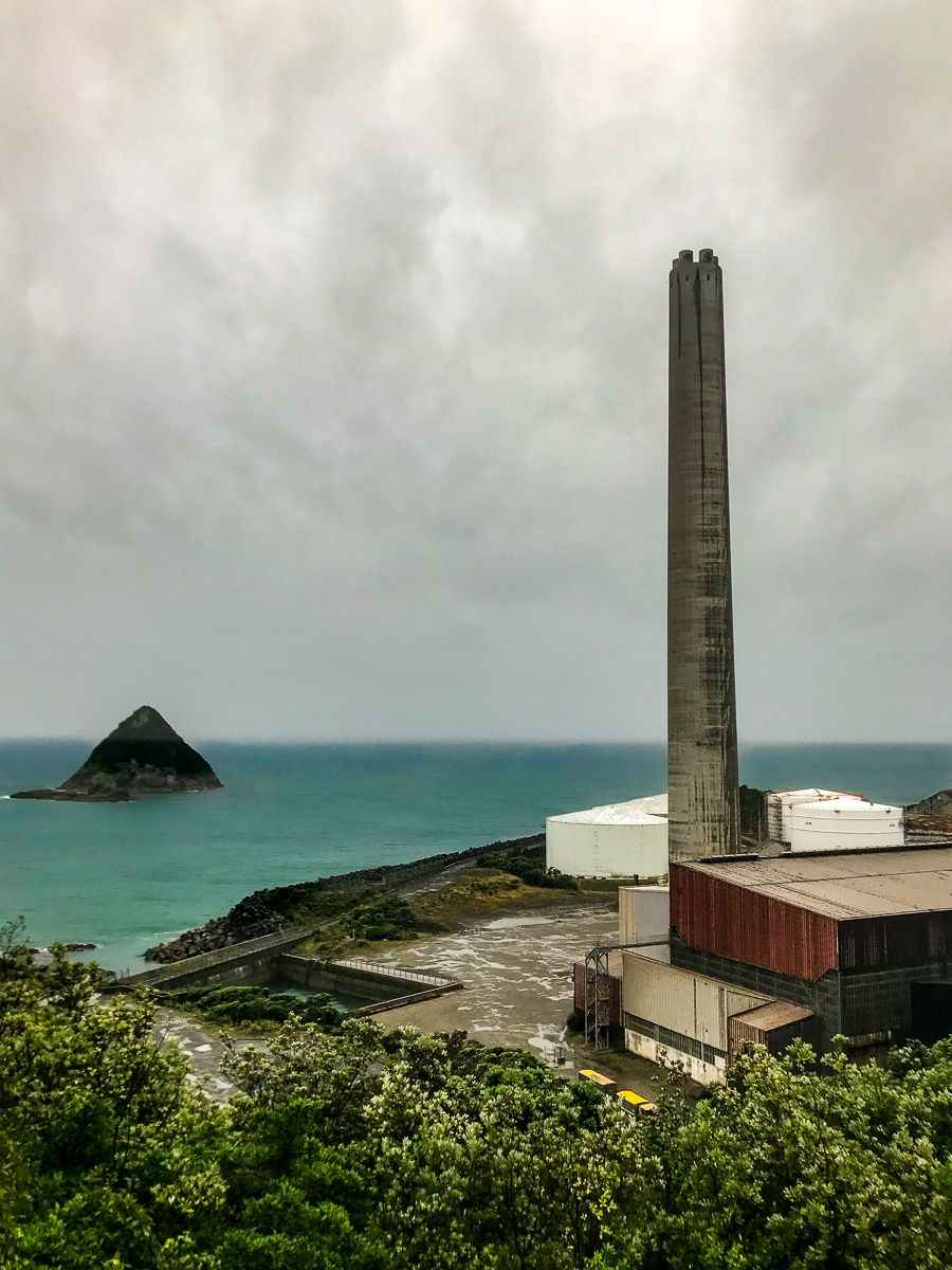
Climb Paritūtū for Ocean Views and Geology
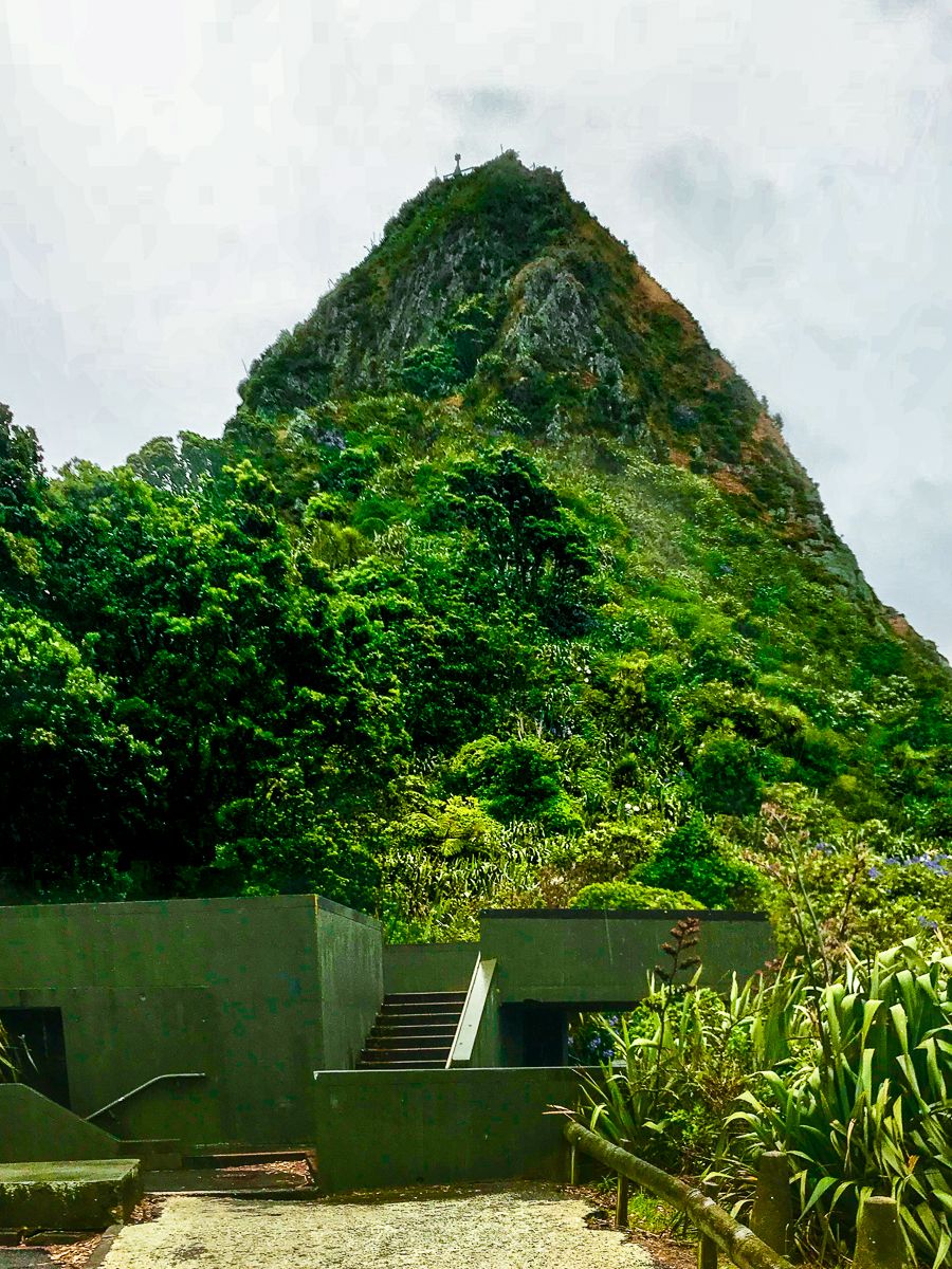
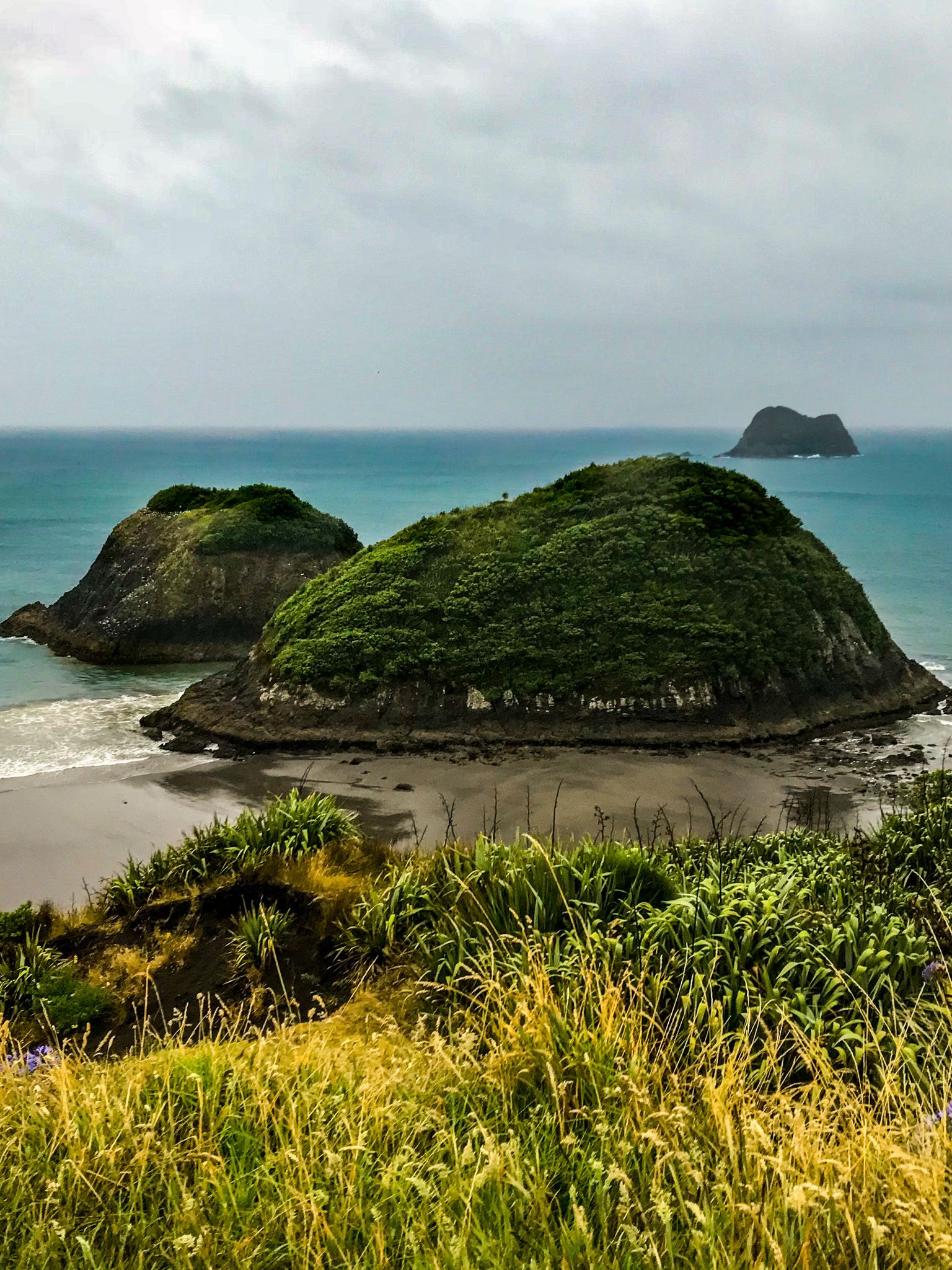
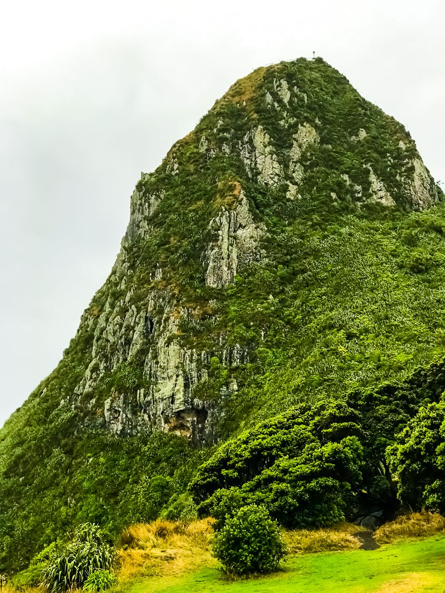
At the western edge of New Plymouth, Paritūtū Rock rises 156 metres above the coast. This volcanic remnant, part of the Sugar Loaf Islands and Paritūtū Scenic Reserve, is a favourite for those keen on a short but steep climb. The track includes steps and a fixed chain for support, and while it takes only about 15 minutes, it requires steady footing.
On a clear day, you'll be rewarded with wide views across the Sugar Loaf Islands, the port, and the curve of the Taranaki coastline. Paritūtū means "tall cliff" and the formation is of significant cultural importance to local iwi, including Ngāti Te Whiti of Te Ātiawa.
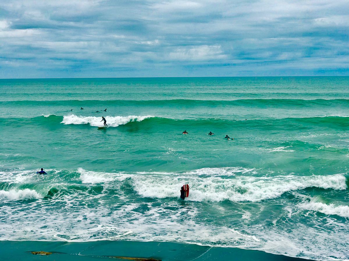
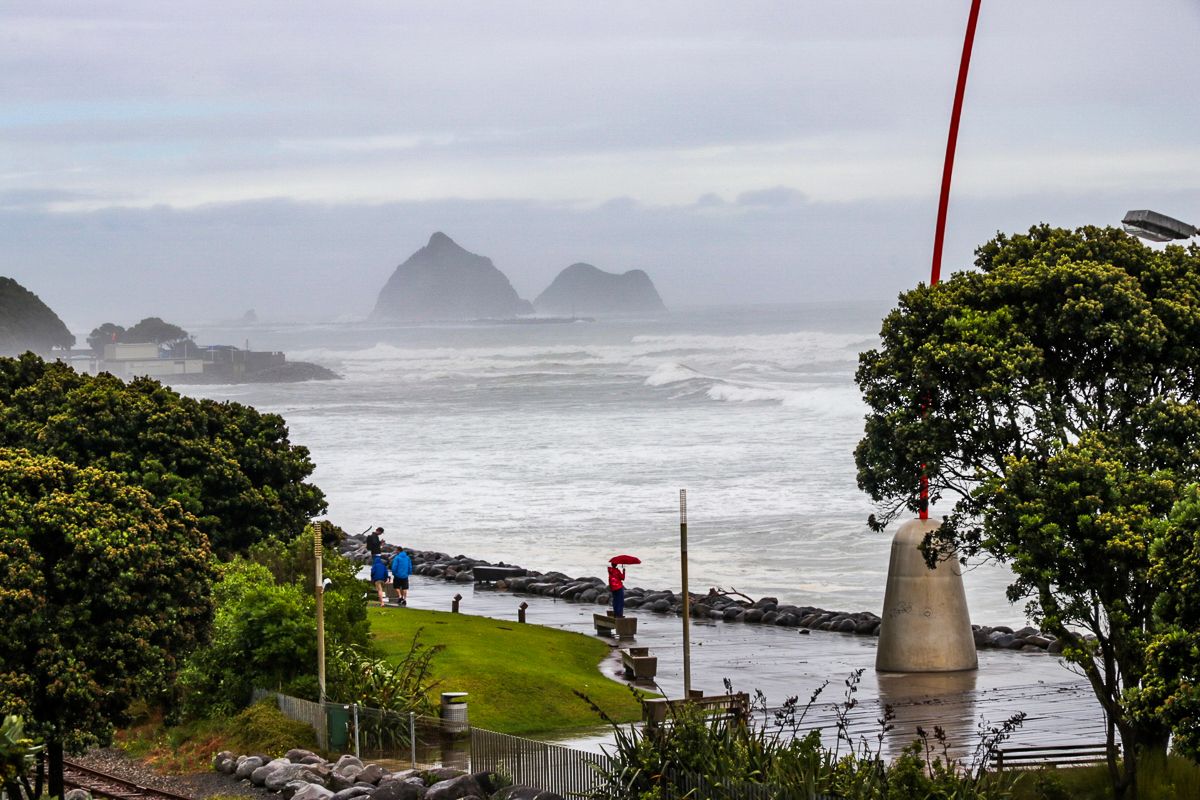
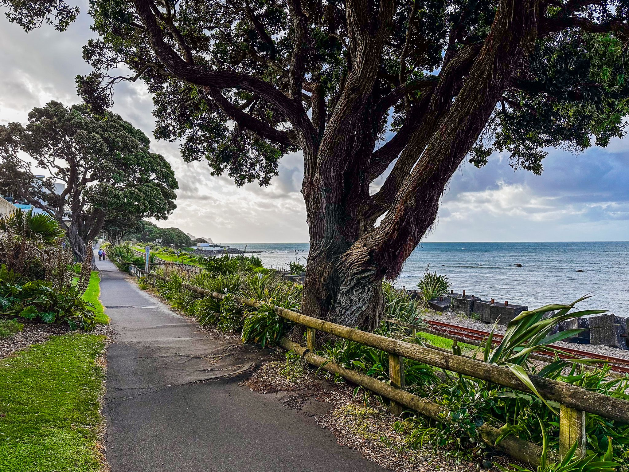
Walk or Ride the Coastal Path
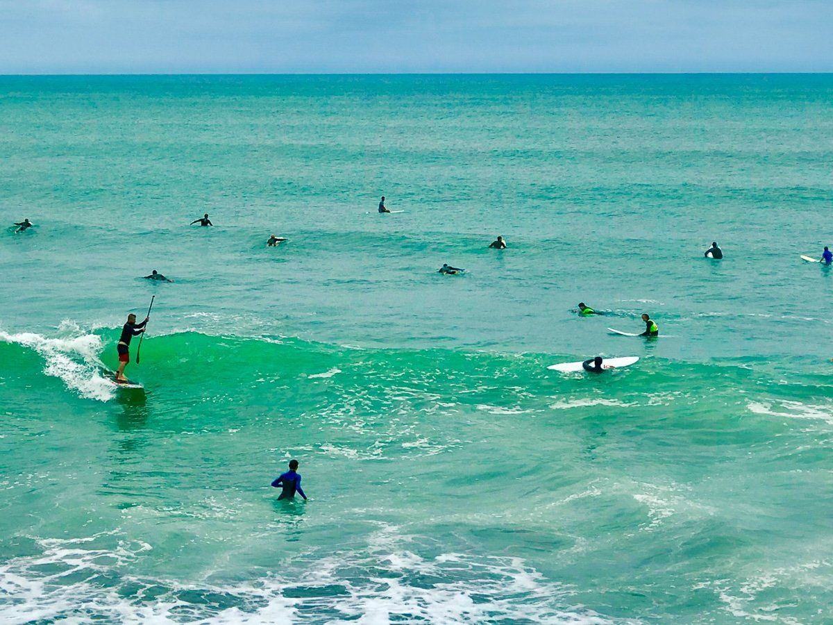
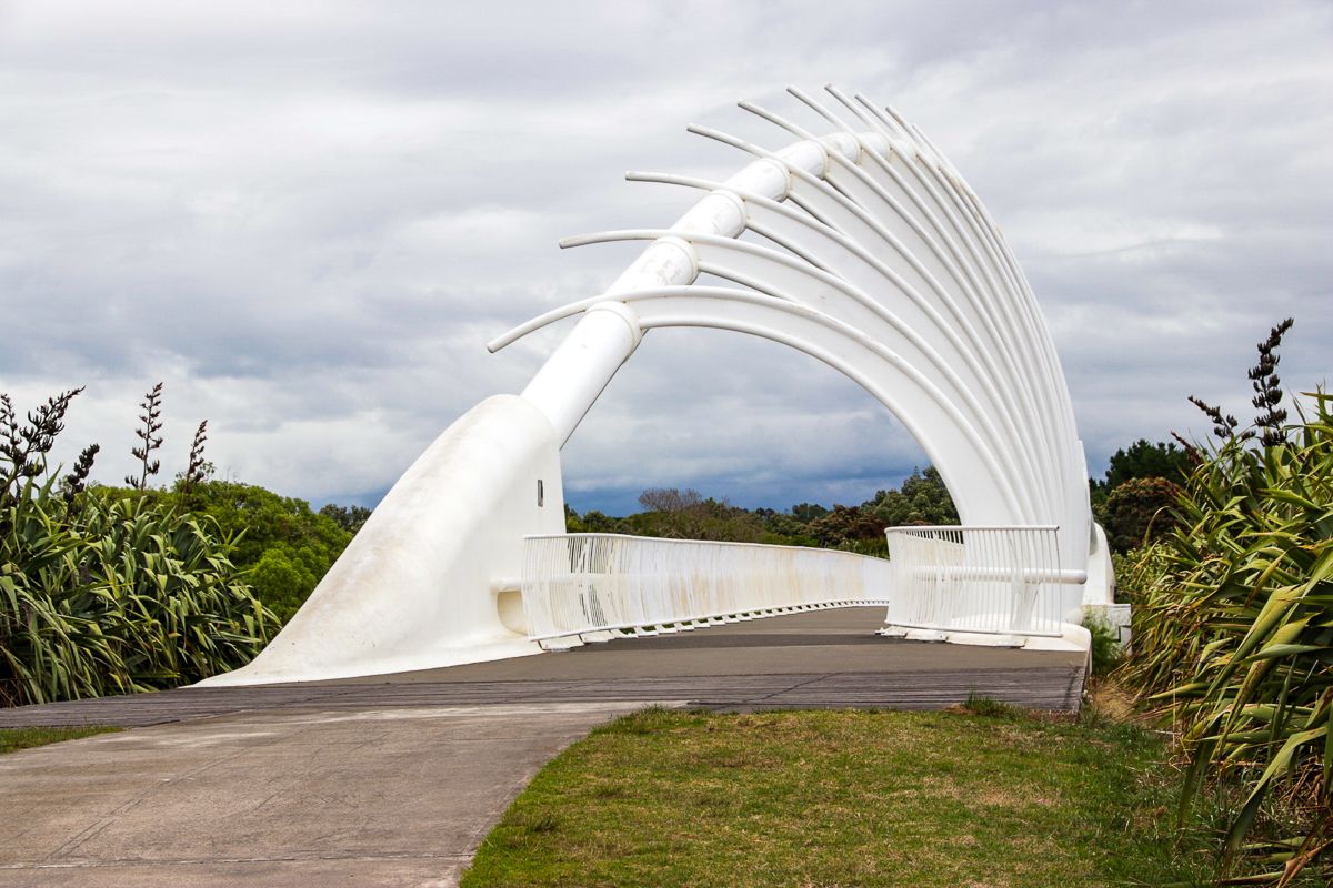
Starting at Paritūtū and stretching over 12.7 km to Te Rewa Rewa Bridge, the New Plymouth Coastal Walkway follows the sea’s edge past beaches, surf breaks, parks, and public art. The smooth, shared-use path is ideal for walking or cycling.
Heading east, you’ll pass through the city centre, where sculptures and design elements blend into the urban landscape. Highlights include East End Beach, a popular surf spot, and Te Rewa Rewa Bridge, a white arched footbridge often photographed with Mount Taranaki framed perfectly in the distance. The bridge spans the Waiwhakaiho River, once a Māori travel route and food source.
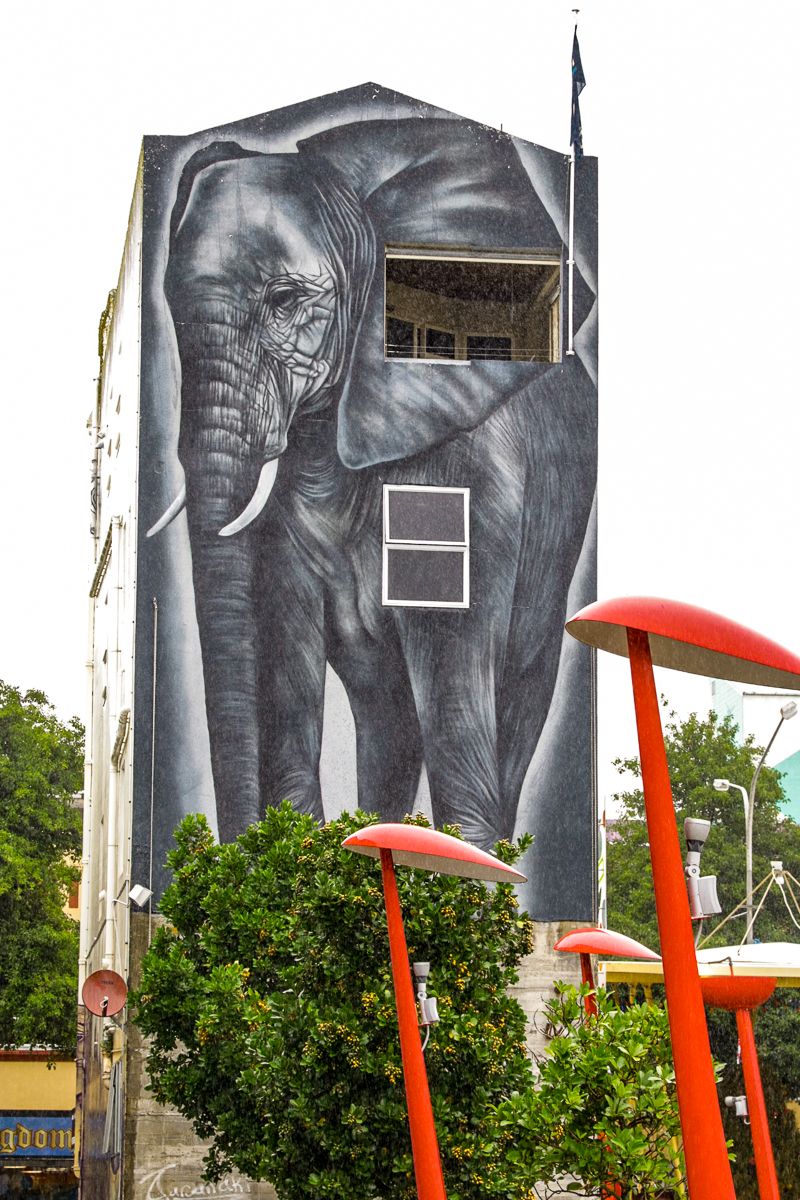
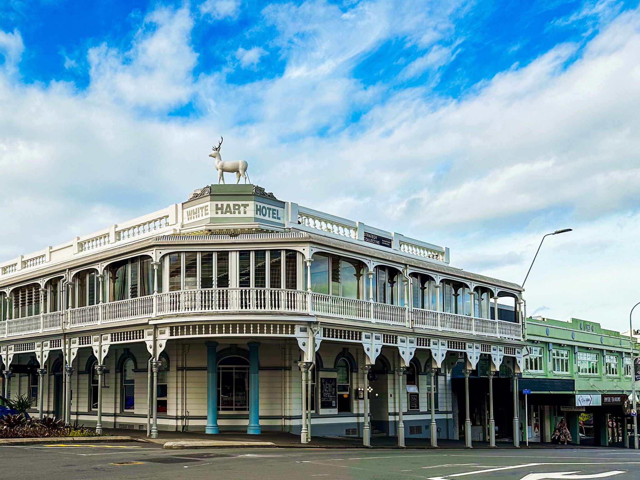
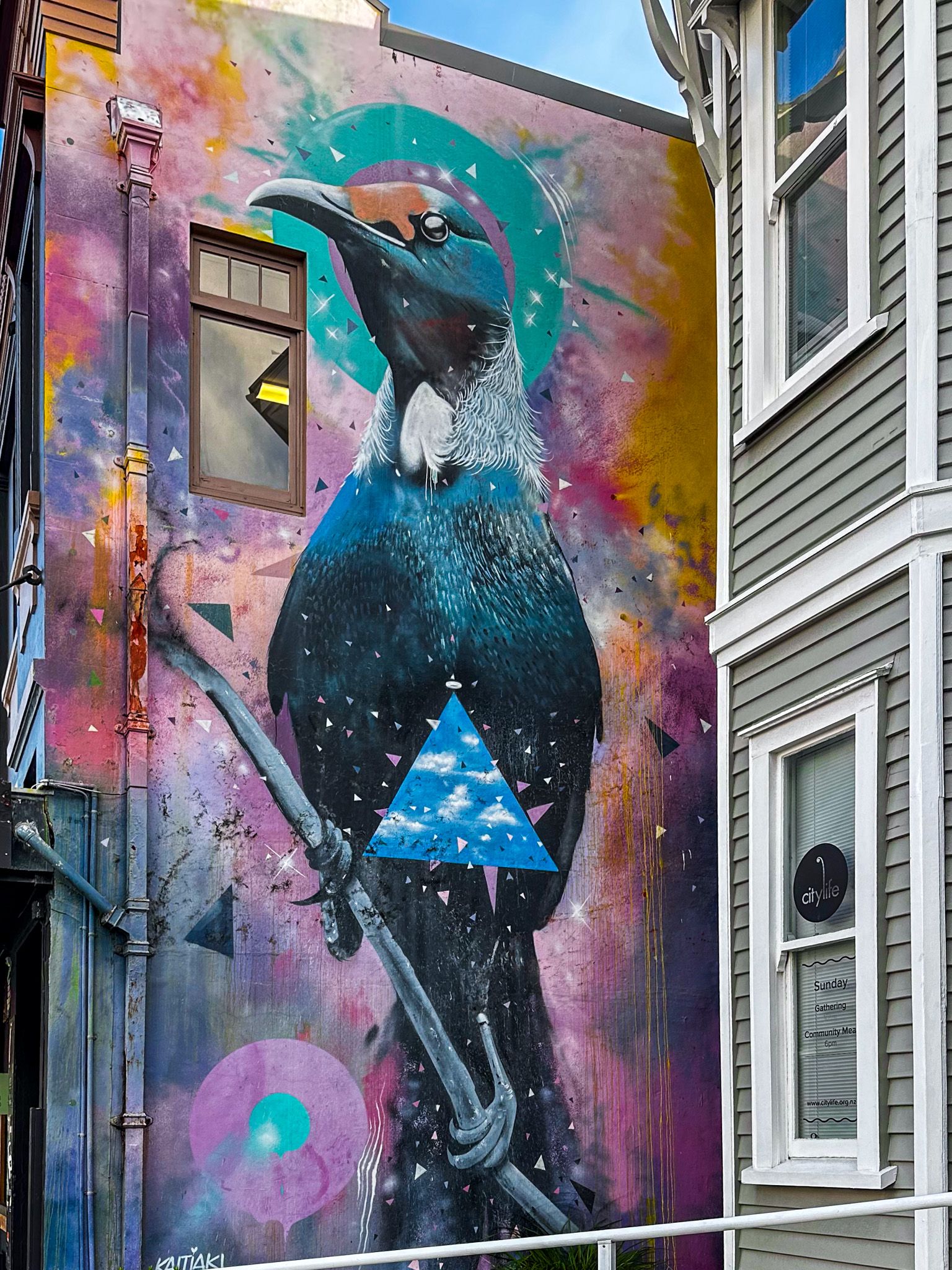
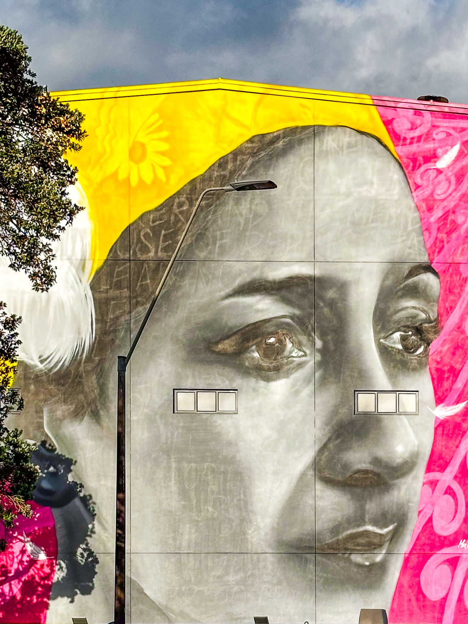
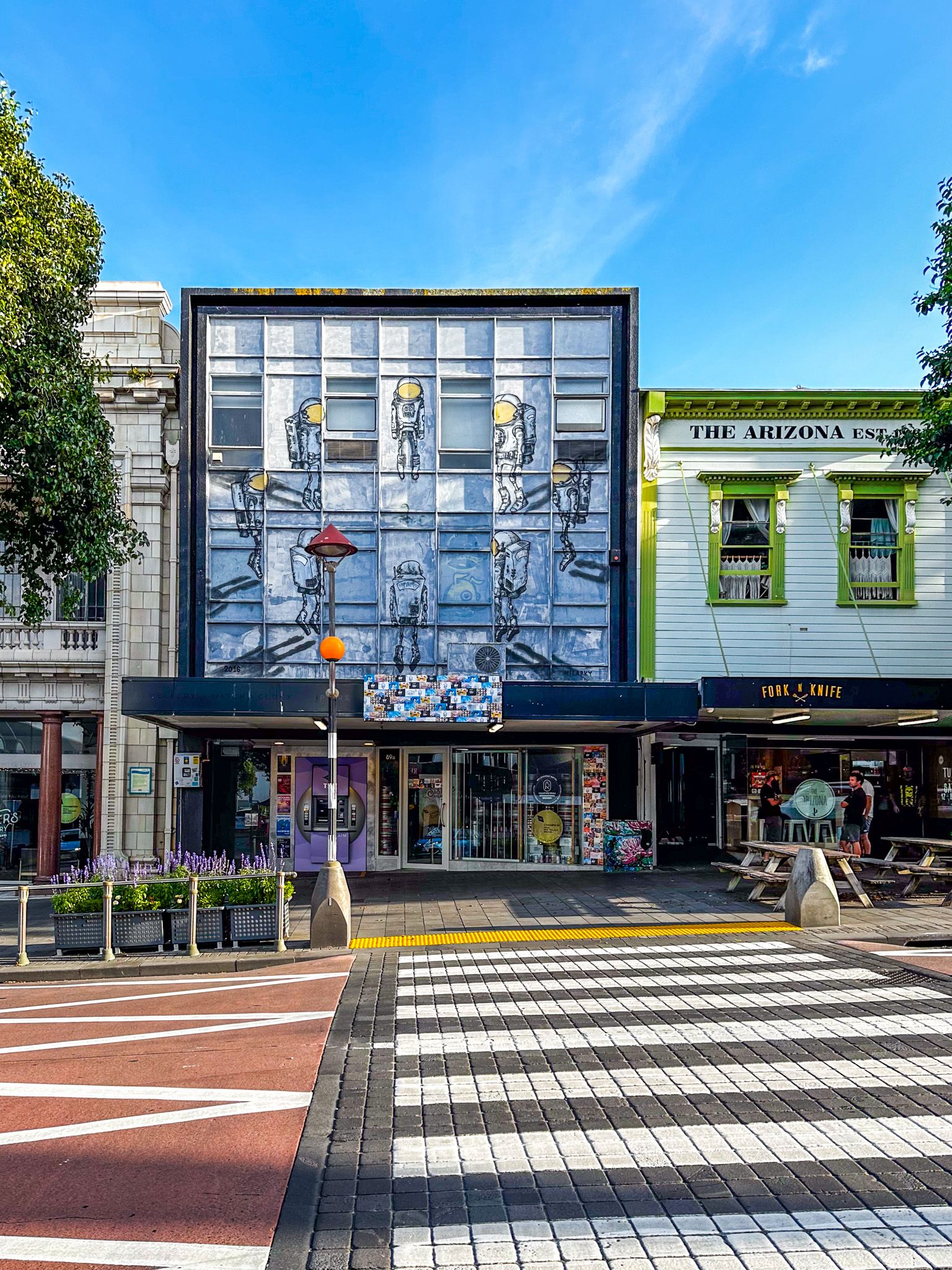
Explore the Creative Core of New Plymouth
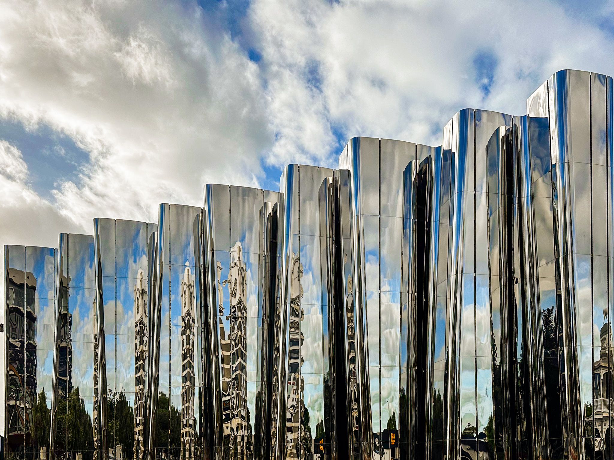
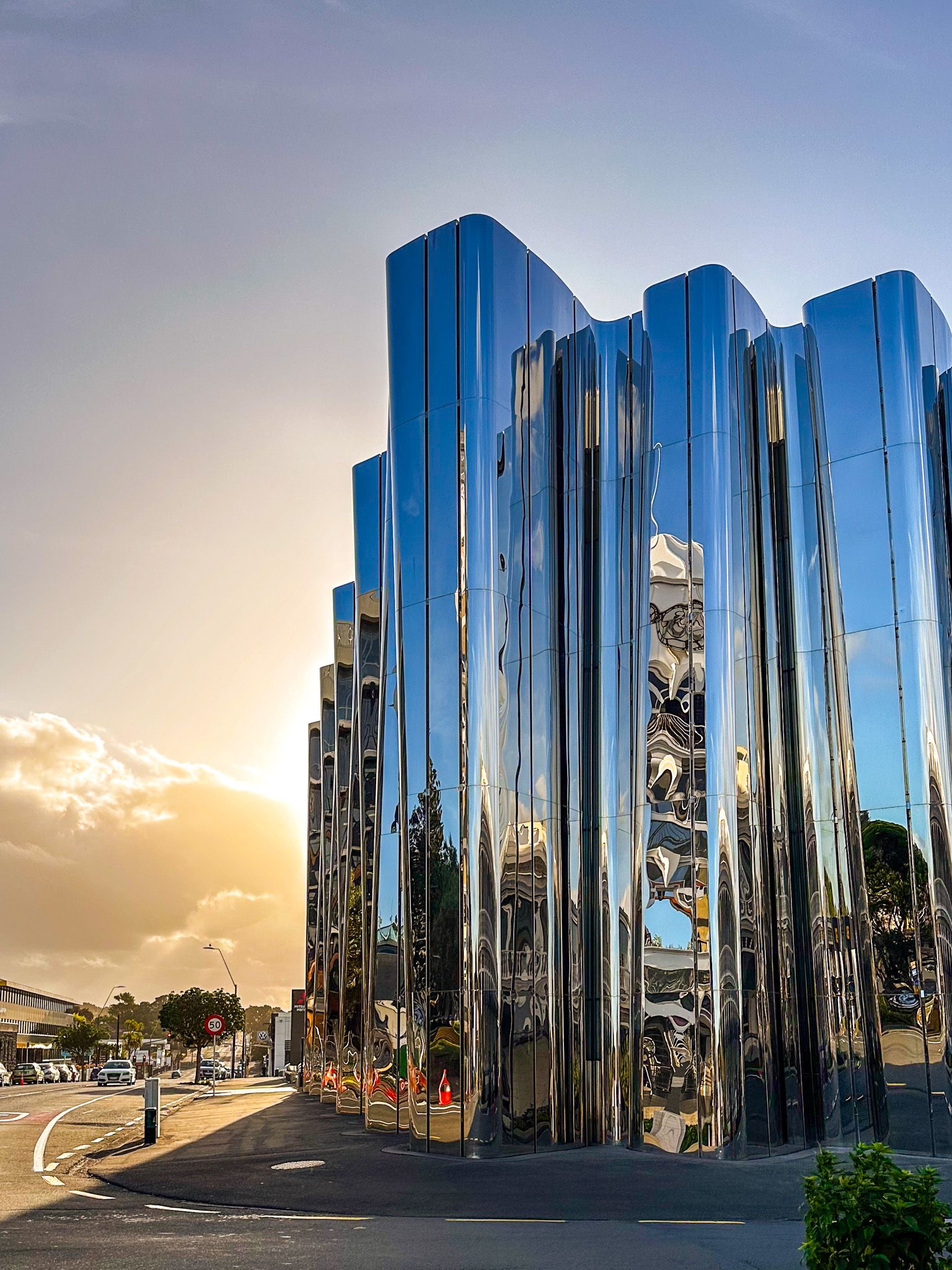
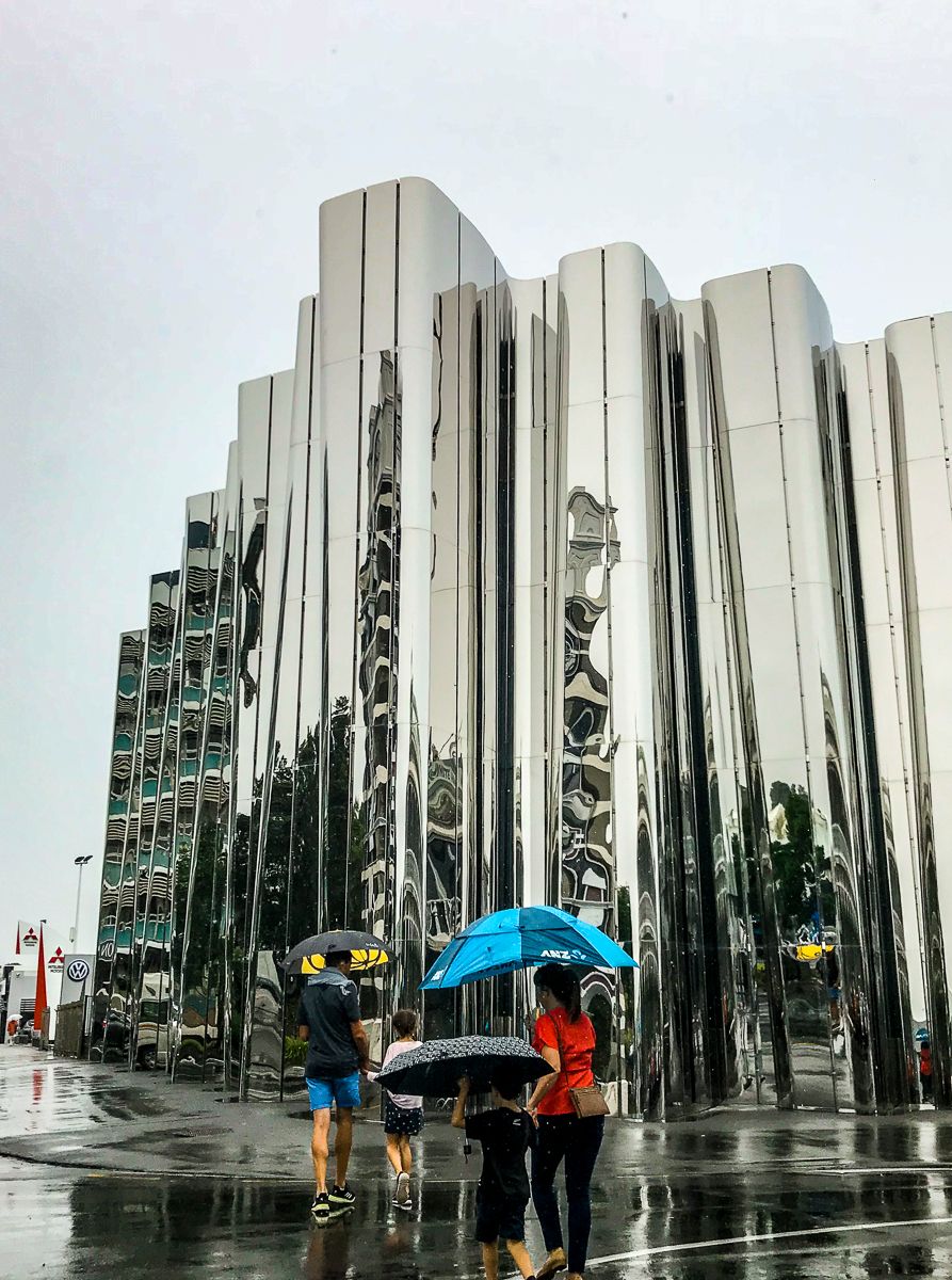
Downtown New Plymouth offers a compact and lively centre anchored around Devon Street and Queen Street. Art lovers should head to the Len Lye Centre, part of the Govett-Brewster Art Gallery, where the mirrored exterior and kinetic sculptures celebrate the boundary-pushing work of local-born artist Len Lye.
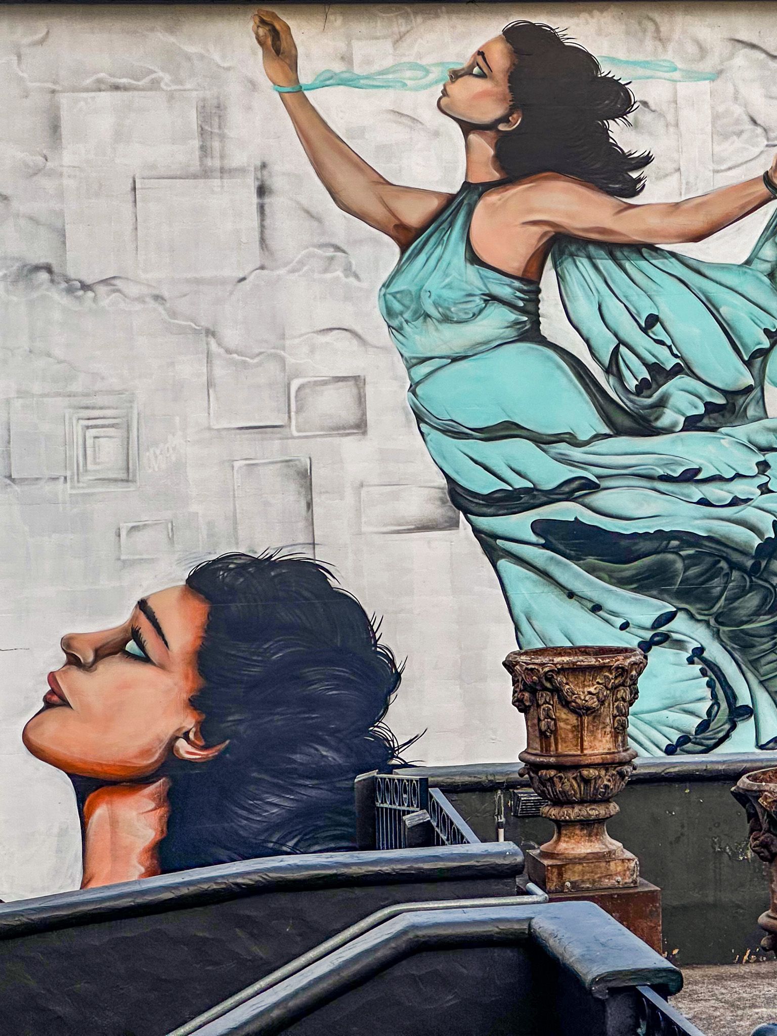
Many of the buildings in the area feature large-scale murals and public artworks. Across the road, the West End Precinct has been revitalised with cafes, restaurants, and boutique shops inside restored heritage buildings, making it a great spot for a coffee or meal.
Māori Heritage and European Settlement
The name Ngāmotu, meaning “the islands”, refers to the offshore Sugar Loaf Islands and was the original name for New Plymouth. The area is part of the traditional rohe of Te Ātiawa, and several pā sites were once located along the coast. European settlers arrived in the 1840s, with the port and fertile volcanic soil supporting early development.
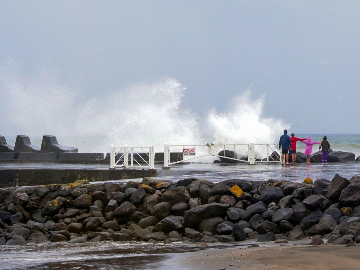
Volcanic rocks from the Māhanga Formation, created by lava flows from Taranaki Maunga, are still visible in sea walls and structures along the Coastal Walkway.
How to Get There
New Plymouth is accessible via State Highway 3, roughly a five-hour drive from Wellington or 5.5 hours from Auckland. Flights from Auckland or Wellington arrive at New Plymouth Airport, about 15 minutes from the city centre.
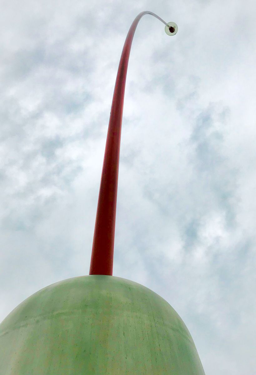
To climb Paritūtū Rock, drive west toward Port Taranaki; the car park is at the base of the rock, near Centennial Drive. The Coastal Walkway can be accessed at multiple points, including the Wind Wand in the CBD and East End Reserve.
Explore more of Taranaki with a wander through the gardens of Pukekura Park, a trip to Tongapōrutu, or to Dawson Falls in Te Papa-Kura-o-Taranak (formerly Mt Egmont National Park).