Lake Pukaki's Glacial Beauty
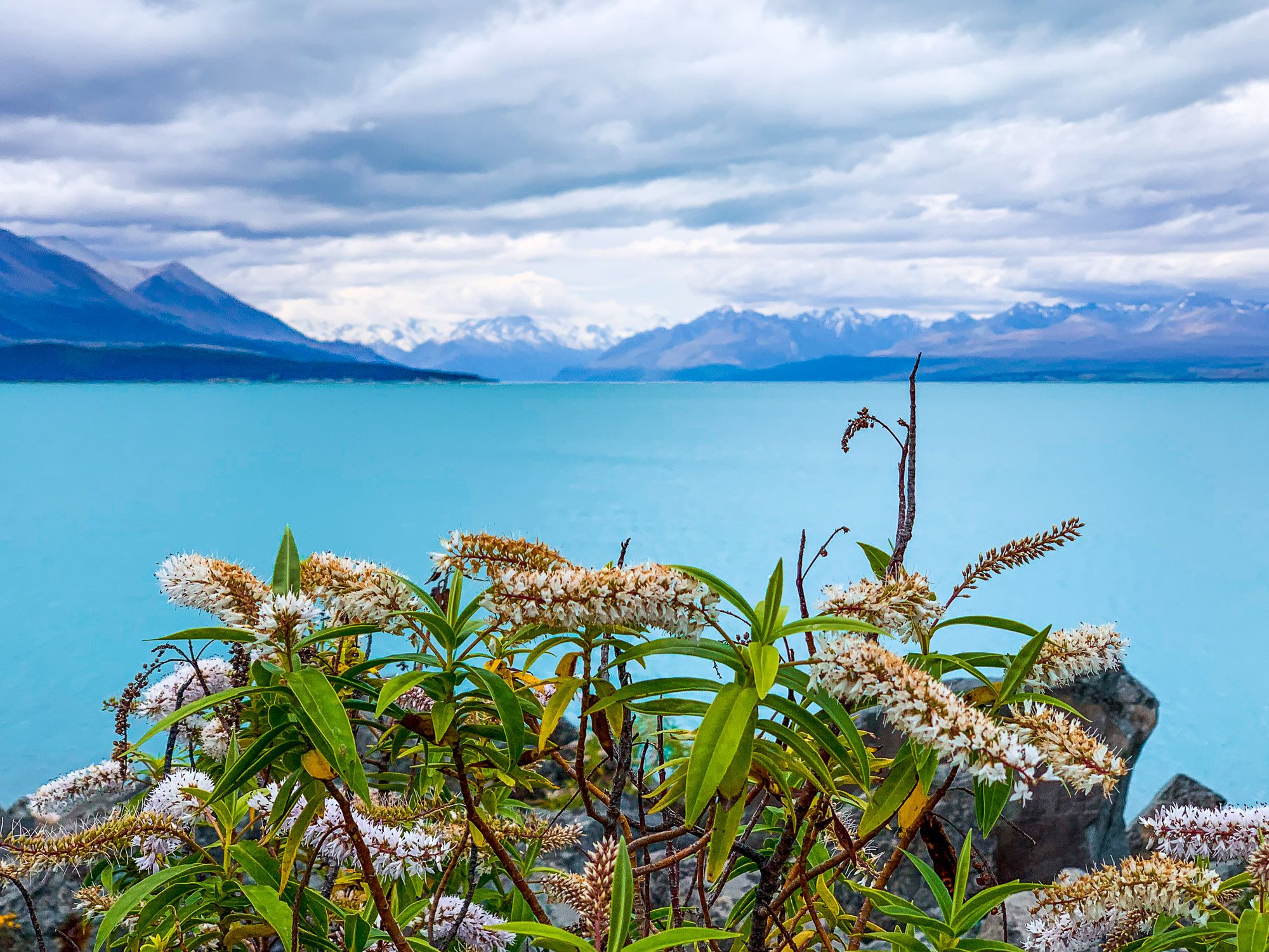
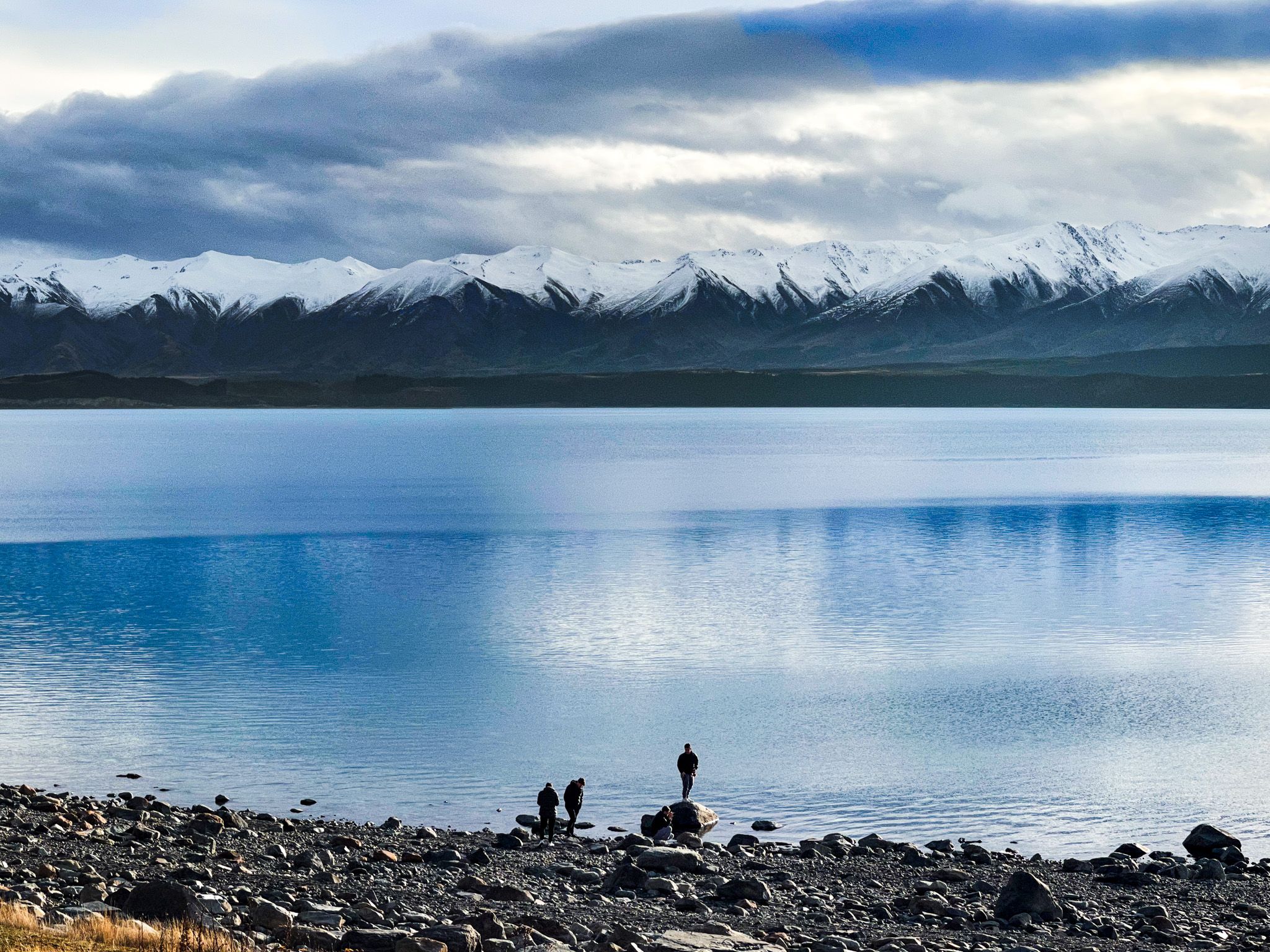
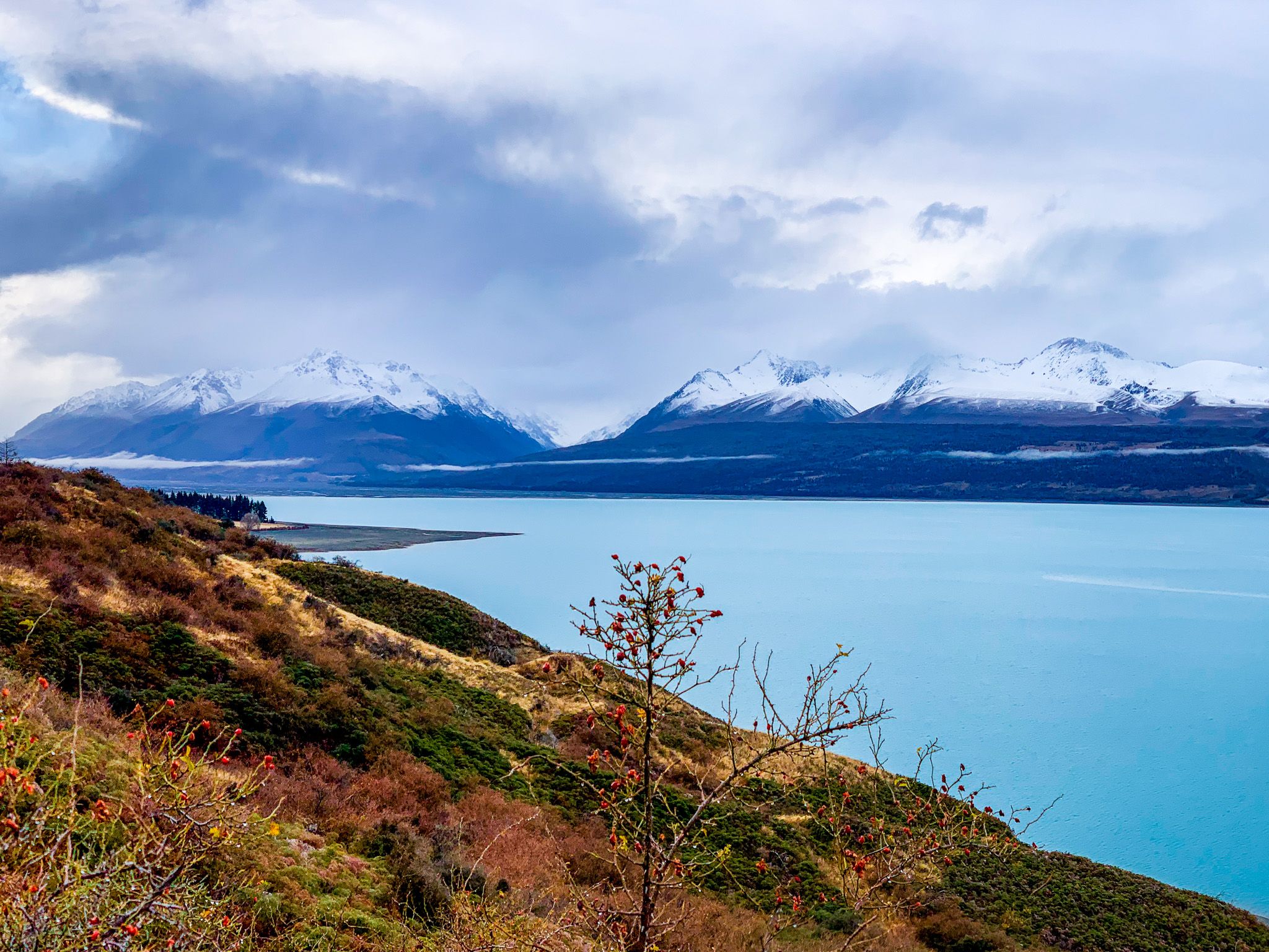
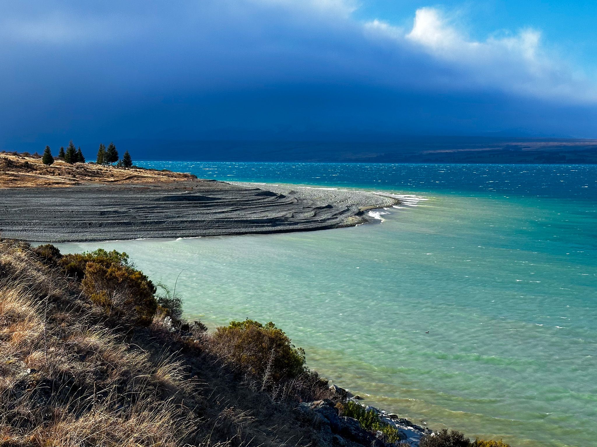
Lake Pukaki, located at the head of the Tasman River in Canterbury's Mackenzie Basin, is a striking post-glaciation lake. It is primarily fed by the Tasman Glacier, the largest and longest glacier in the Southern Alps, along with its terminal lake, Lake Tasman. Situated on the northern side of Aoraki / Mt Cook and Mt Tasman, Lake Pukaki is renowned for its vibrant turquoise waters, a result of finely ground mineral particulates suspended in the water.
Scenic Views and Activities
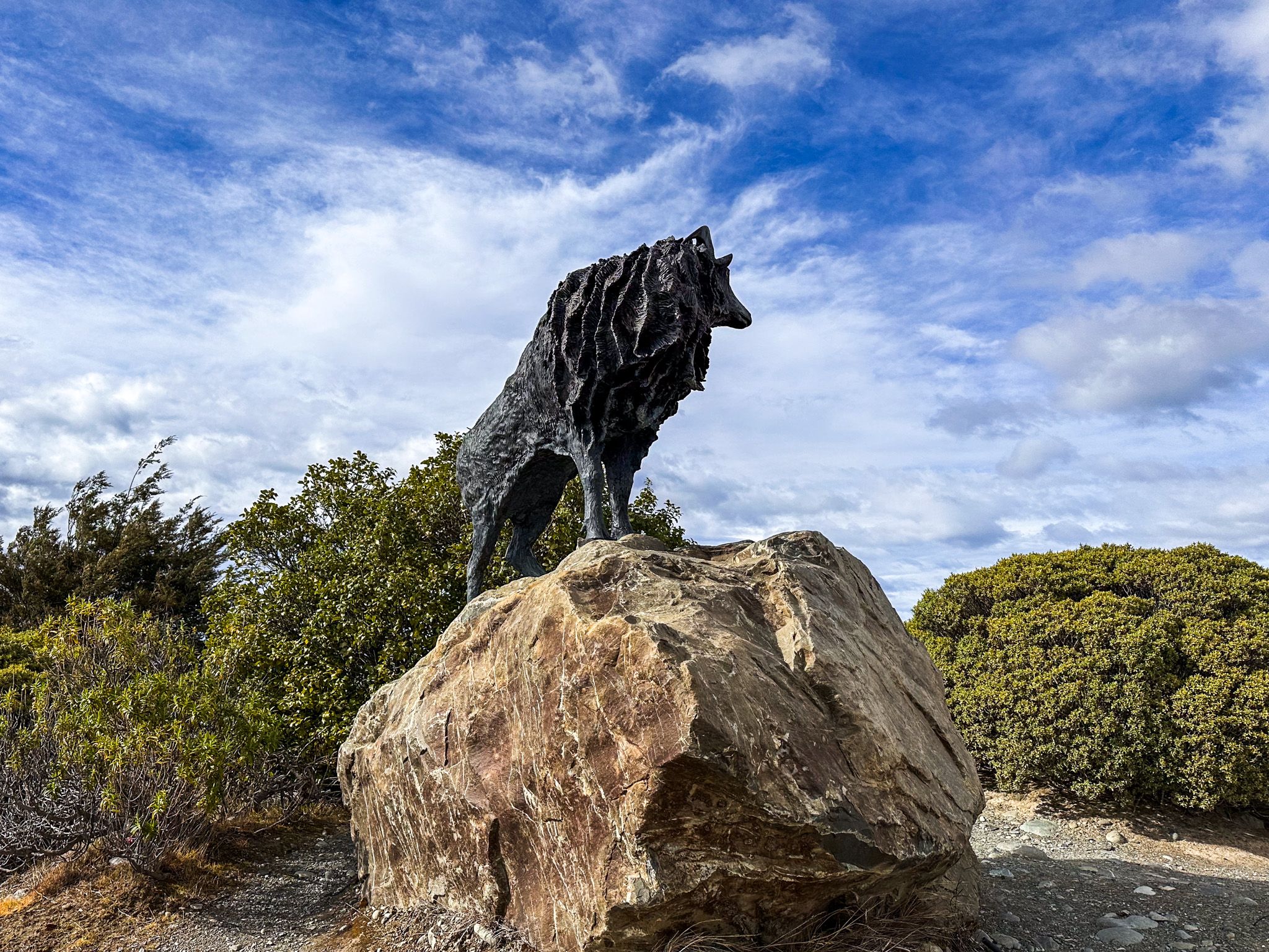
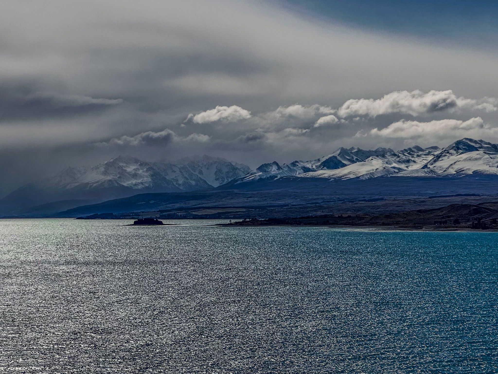
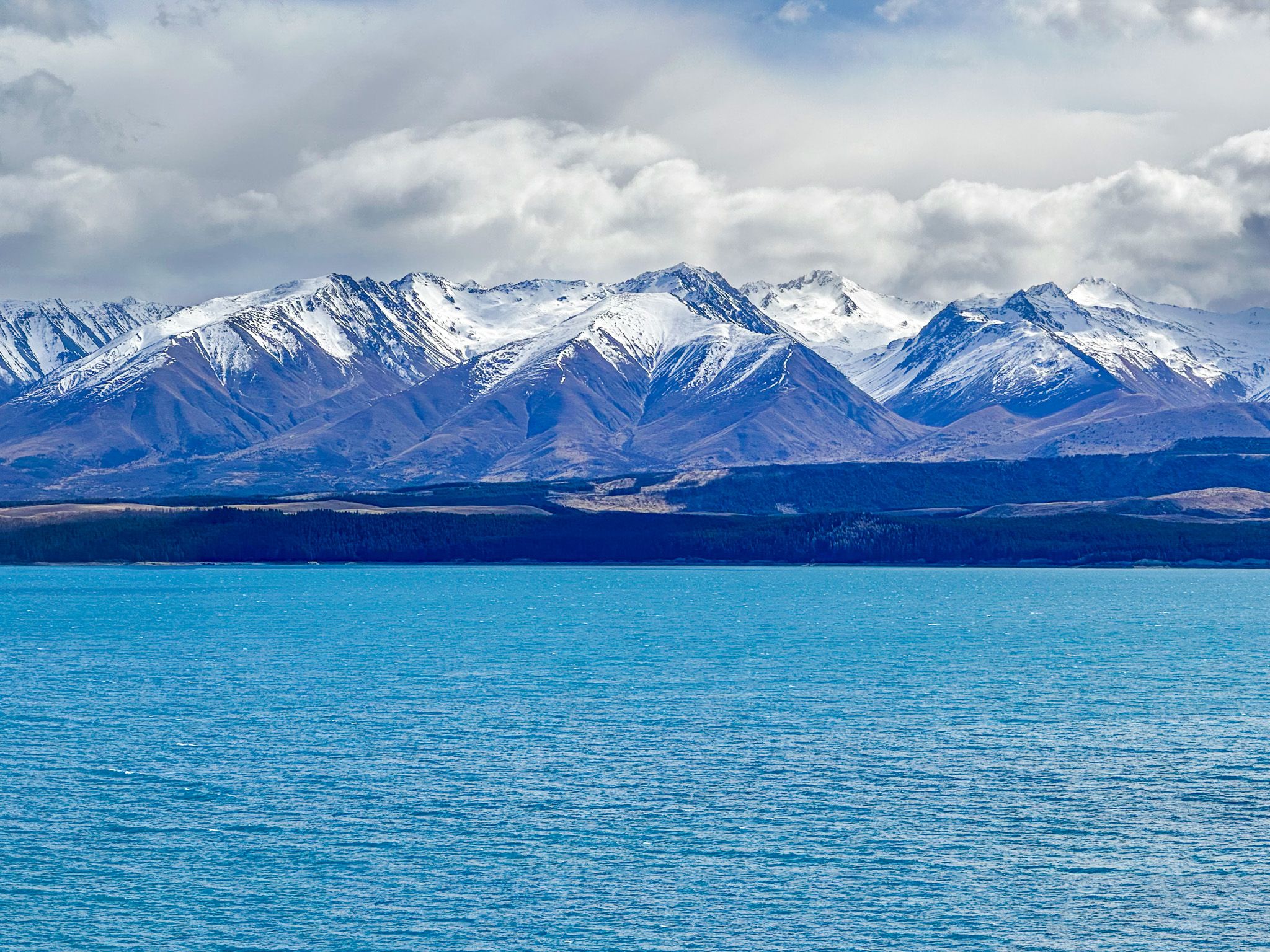
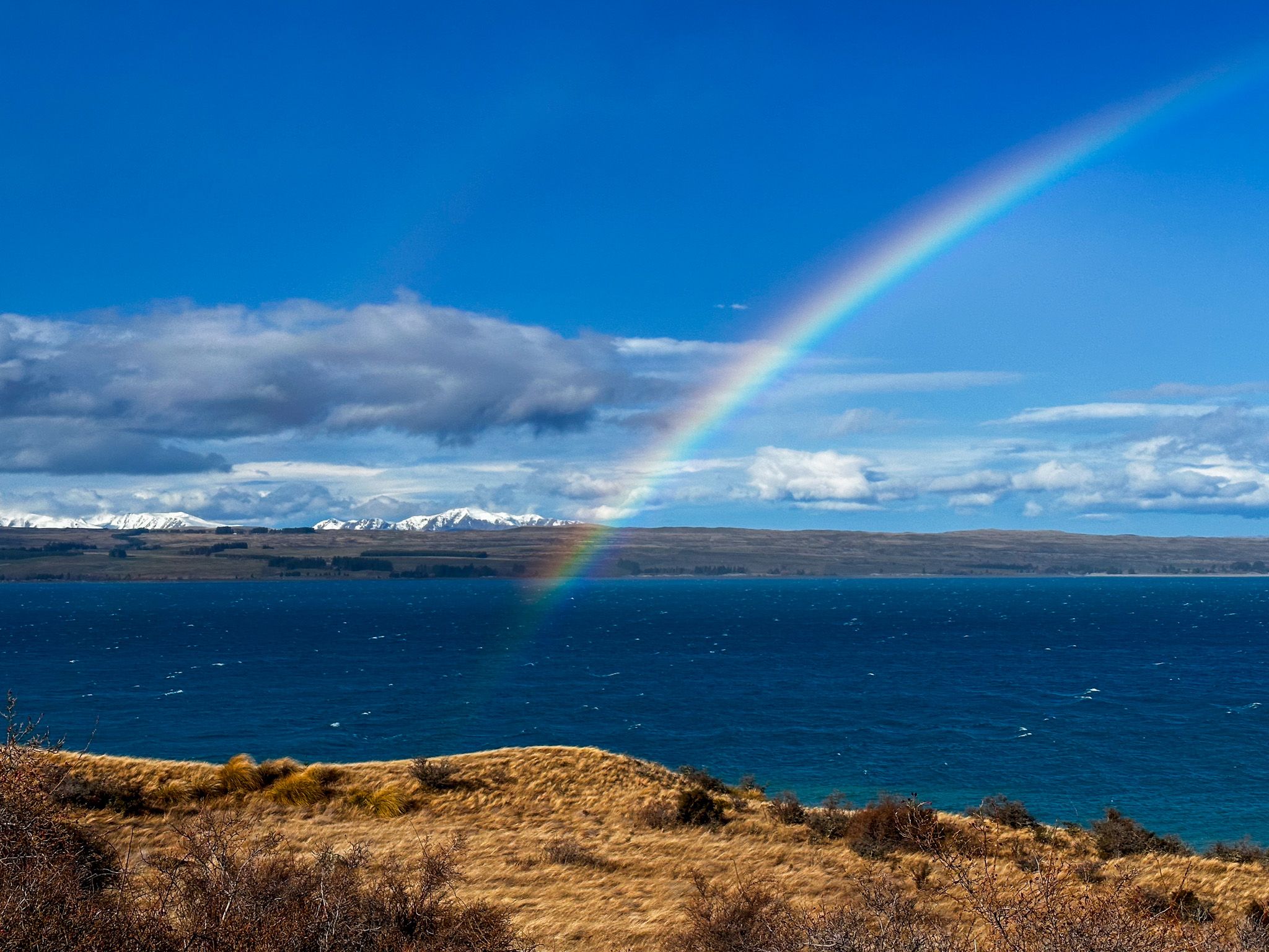
While there is no town at Lake Pukaki, several parking areas provide stunning views across the lake. The viewpoints at the south end are easily accessible from State Highway 8 and the Alps2Ocean Cycle Trail. On clear days, you can enjoy breathtaking vistas of Aoraki/Mt Cook and the central massif of the Southern Alps. On stormy days, the mountains may be shrouded, but it can still be spectacular.
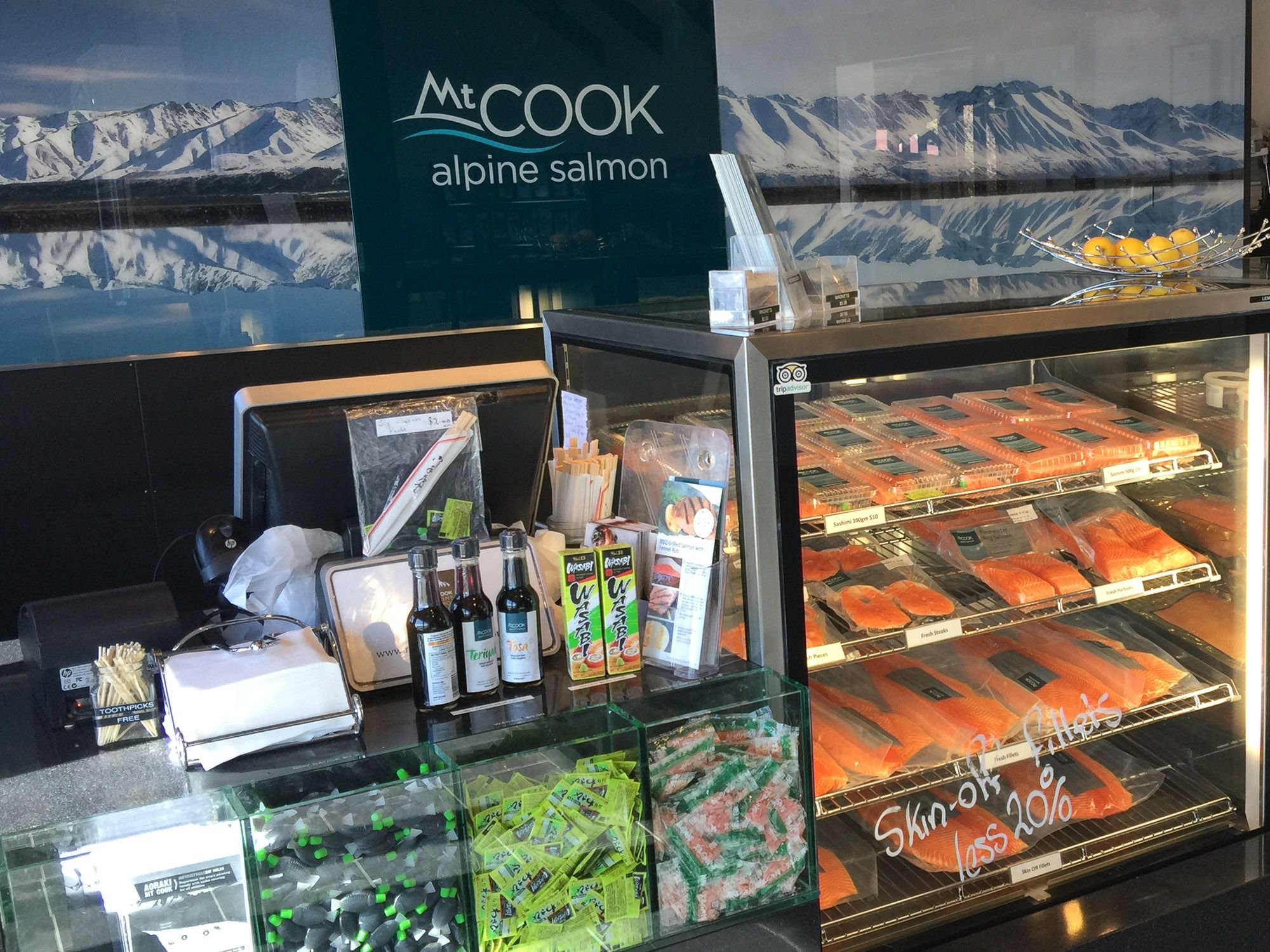
The largest parking area has a small shop offering fresh salmon from local canal farms and a visitor centre.
Exploring the Surroundings
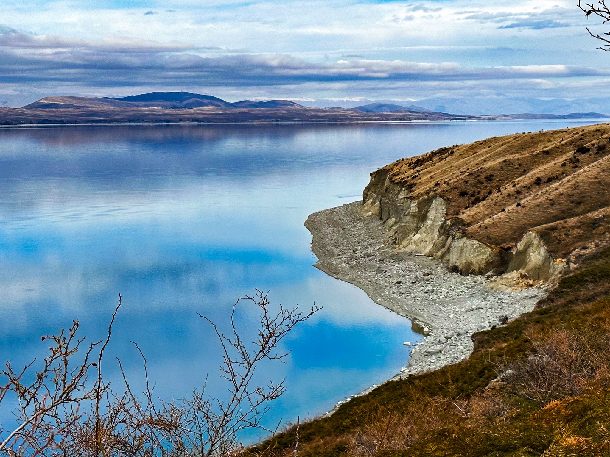
Turning onto State Highway 80 towards Mt Cook National Park reveals another roadside viewpoint with expansive views across Lake Pukaki. Along this route, several roadside stops offer additional perspectives of the lake and its dramatic cliffs.
The lake is also integral to the Mackenzie Basin hydroelectric scheme. The construction of the Pukaki Dam has raised the water level, with most water flowing into the Pukaki Canal. This canal connects with the Ohau Canal, feeding Lake Ruataniwha and Lake Benmore. State Highway 8 crosses the dams at the lake's southern end, providing access to views of both the dam and the canal.
How to Get There
To reach Lake Pukaki, travel along State Highway 8 from Tekapo to the north or Omarama to the south. This highway provides direct access to various viewpoints and the Alps2Ocean Cycle Trail. If you're heading towards Mt Cook National Park, take State Highway 80 from State Highway 8 for additional scenic stops and panoramic views of the lake.
Nearby, you can also explore Twizel, Lake Ōhau, the Clay Cliffs and the Ahuri Valley.