Discover Aoraki / Mount Cook
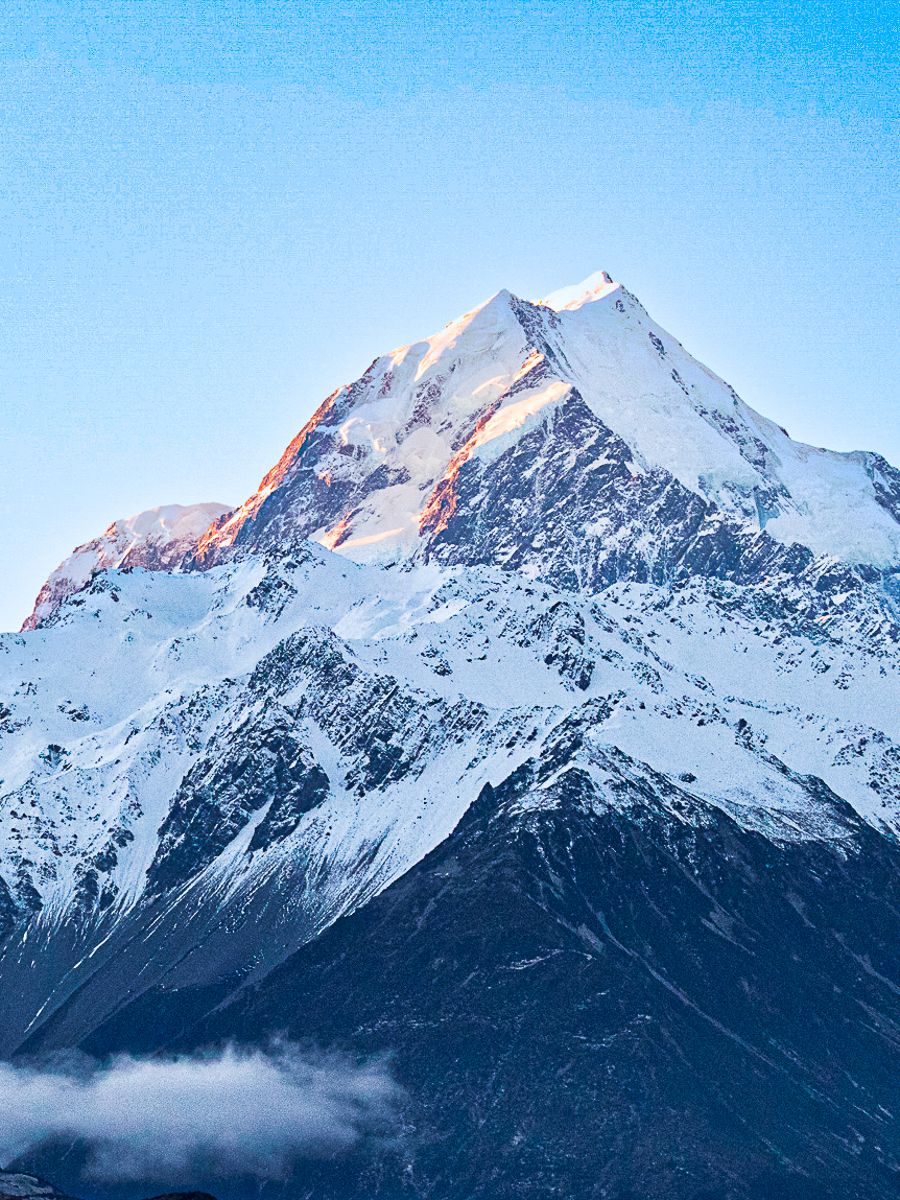
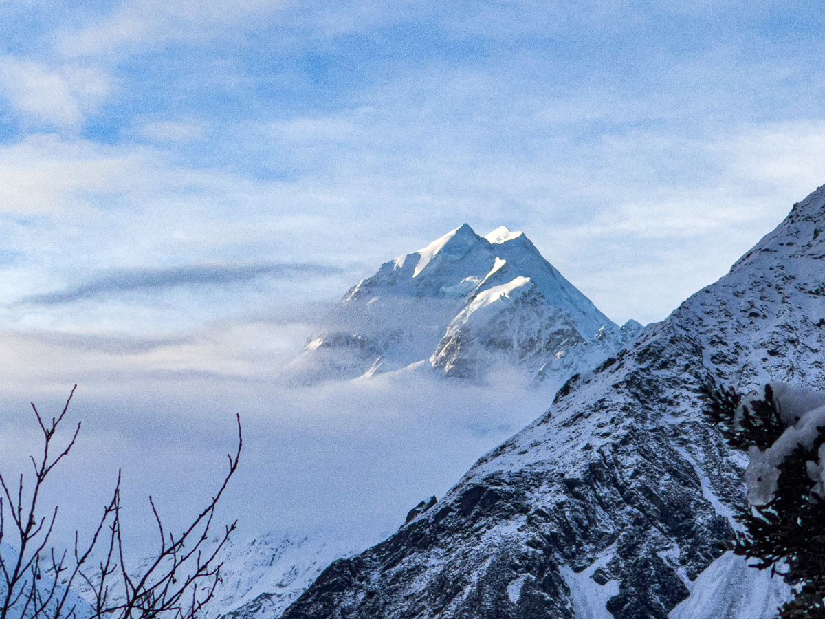
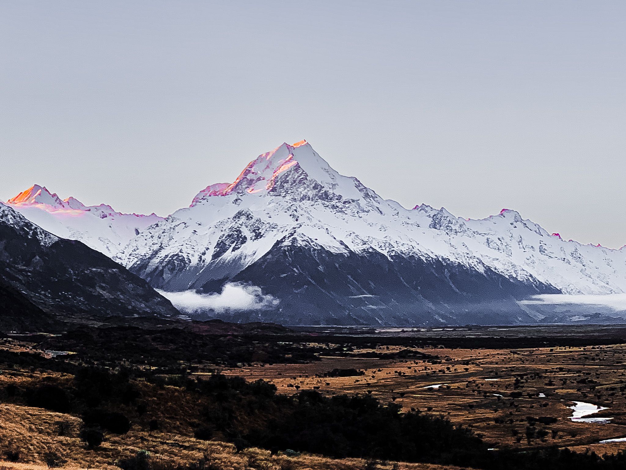
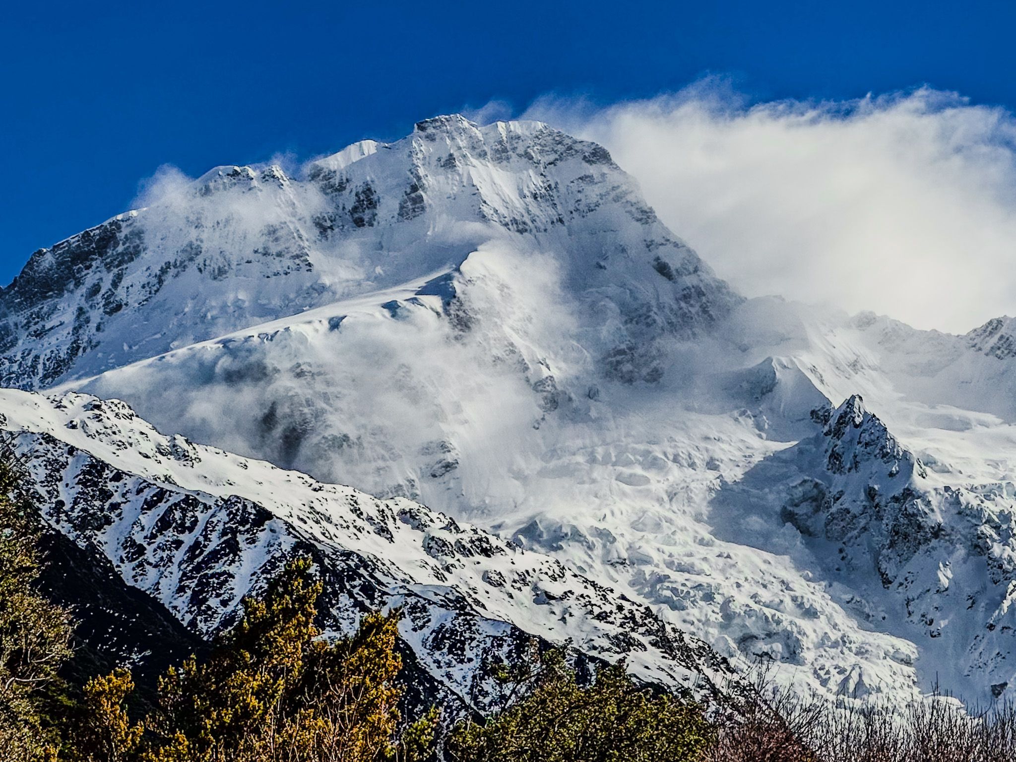
Aoraki / Mount Cook, standing at 3,724 metres, is New Zealand's highest mountain and a prominent feature of the Southern Alps. Located beyond the end of State Highway 80, the journey to this iconic peak offers stunning vistas. Travellers are treated to views of the Ben Ohau Range and the sparkling waters of Lake Pukaki. As you draw nearer, Aoraki / Mount Cook's grandeur becomes increasingly evident, providing exceptional photo opportunities, particularly in winter.
Accommodation and Activities in Mt Cook Village
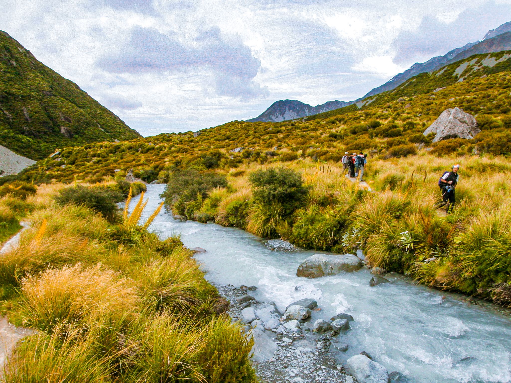
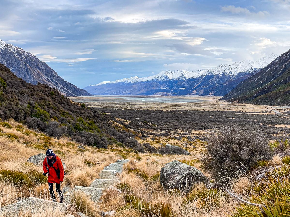
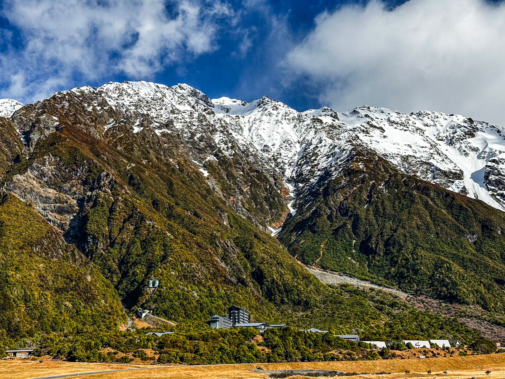
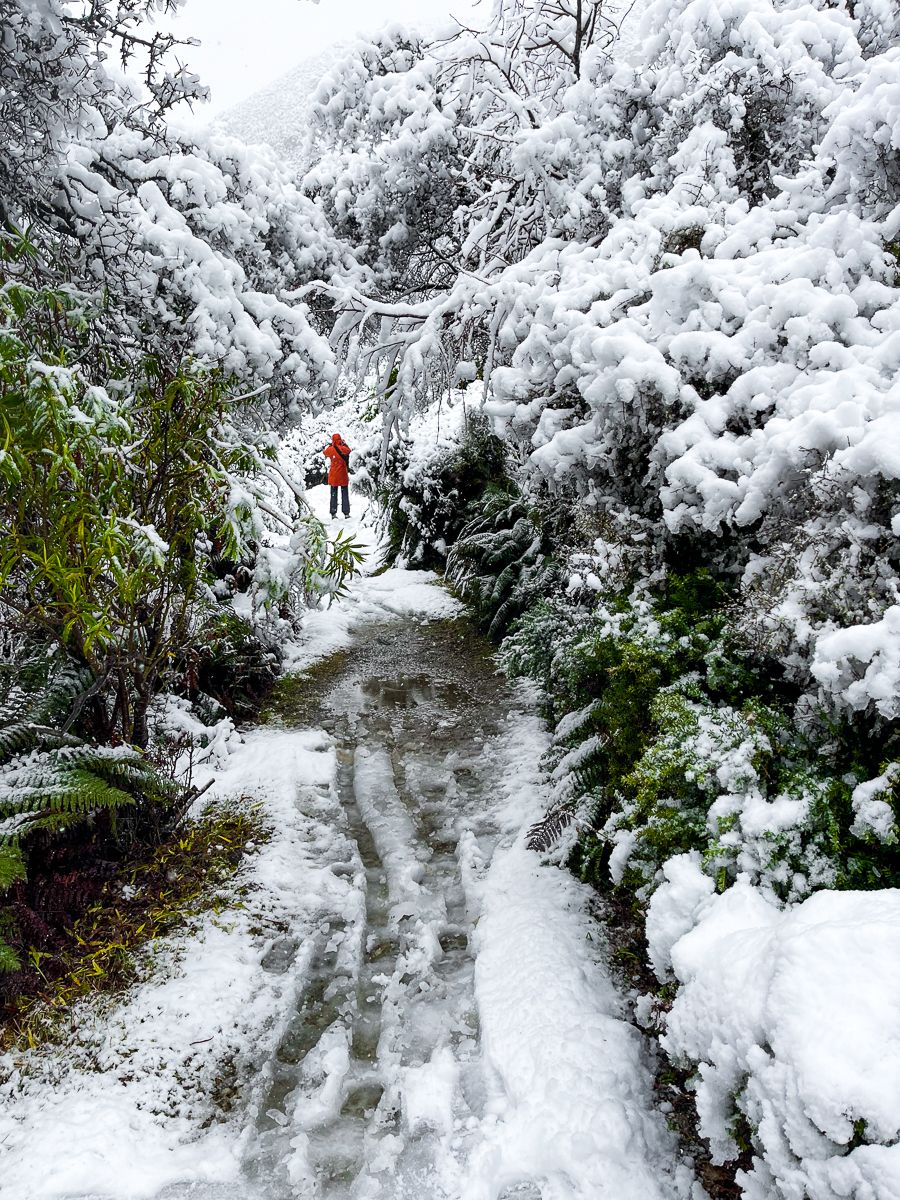
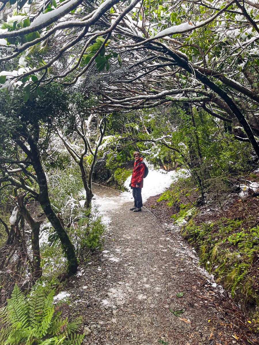
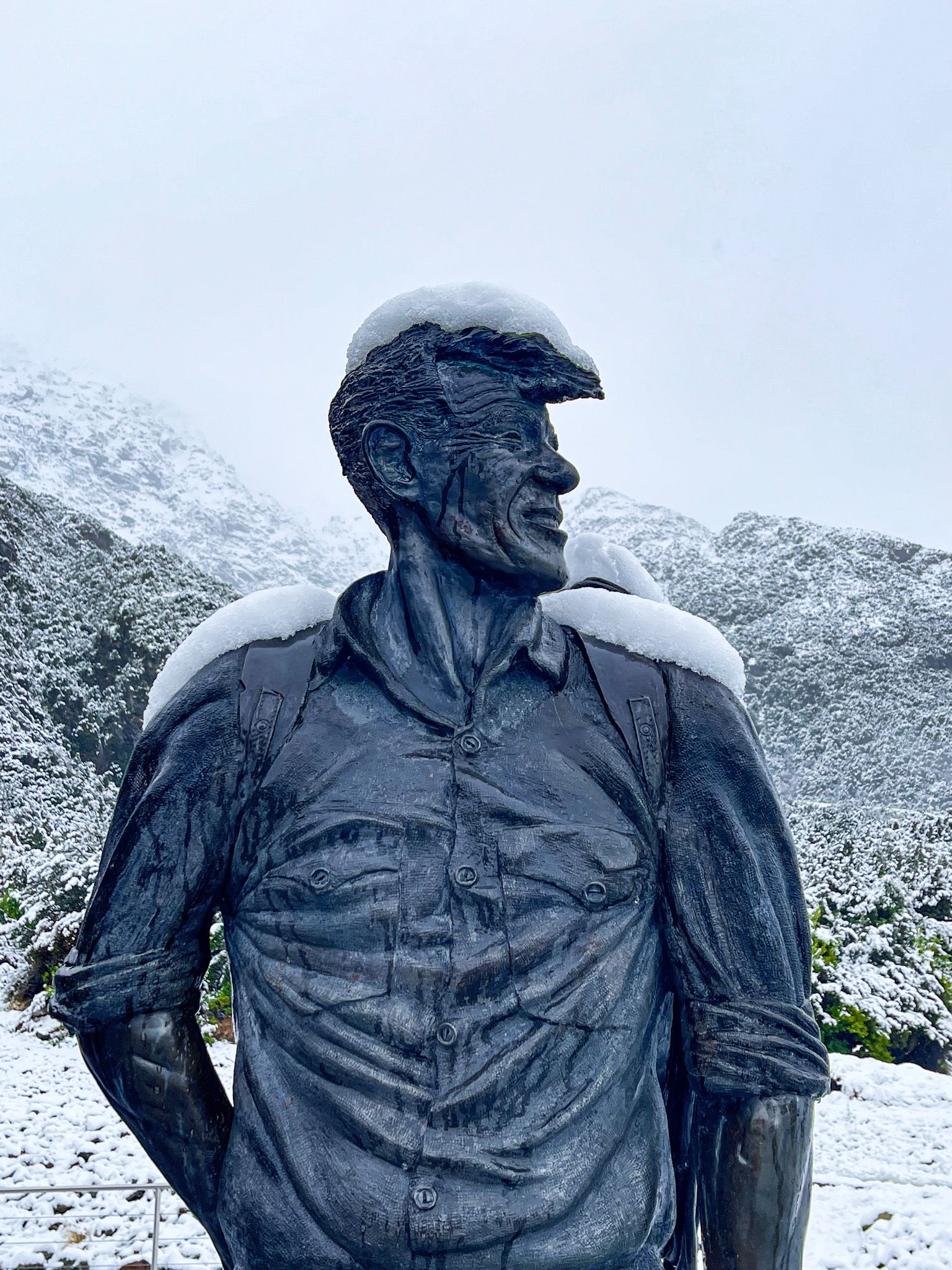
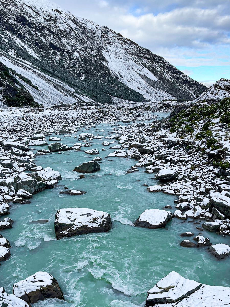
Mt Cook Village offers a range of accommodation options, from camping sites to the luxurious Hermitage Hotel, which houses a museum dedicated to Sir Edmund Hillary. Visitors can explore various walking tracks, such as the easy Tasman Lake walk or the more demanding Hooker Valley hike. For adventure seekers, there are challenging climbs into the surrounding mountains, promising breathtaking views, including the hikes to Red Tarns at 1,060 metres and Sealy Tarns at 1,300 metres.
Geographical and Geological Features
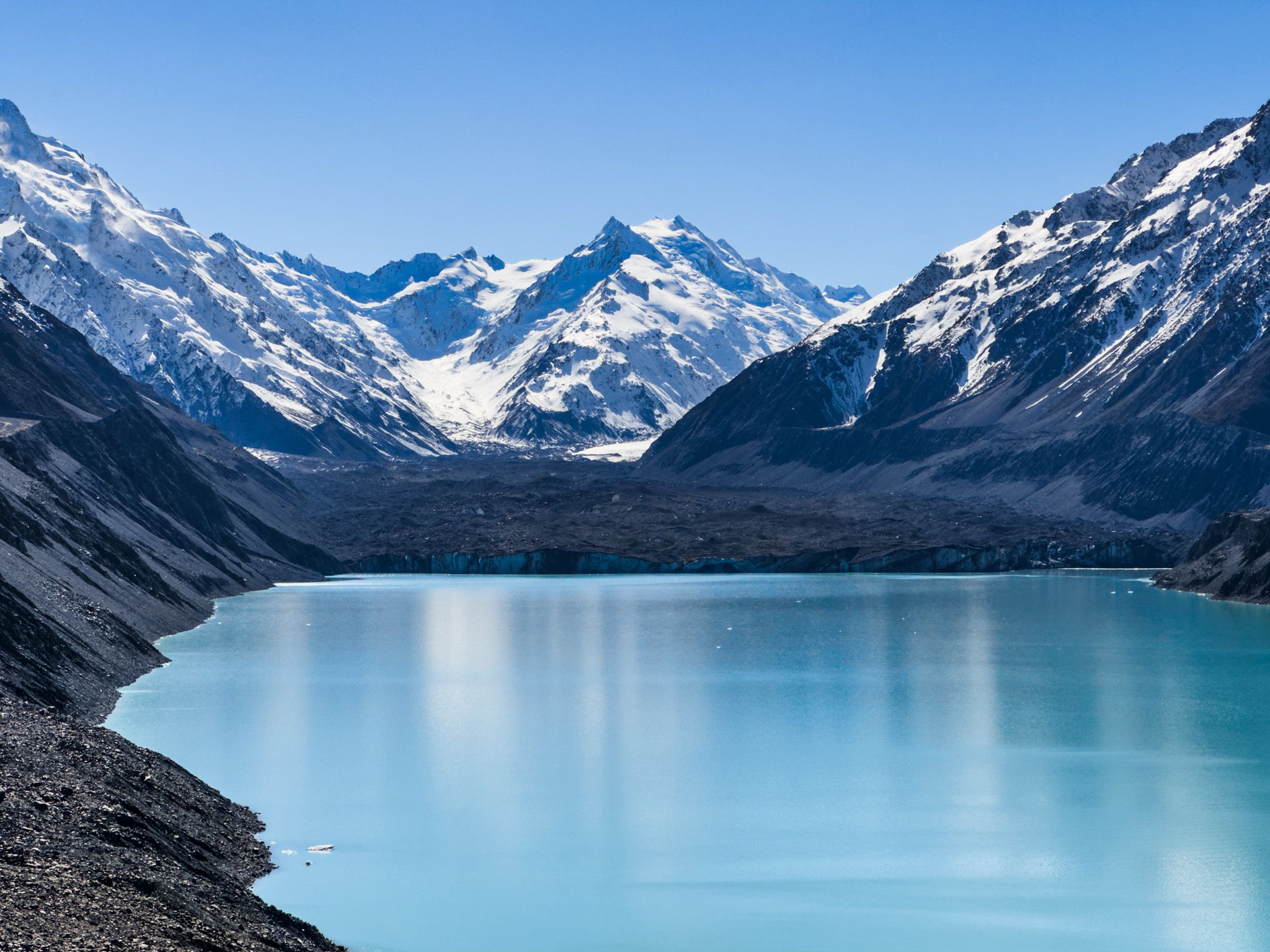
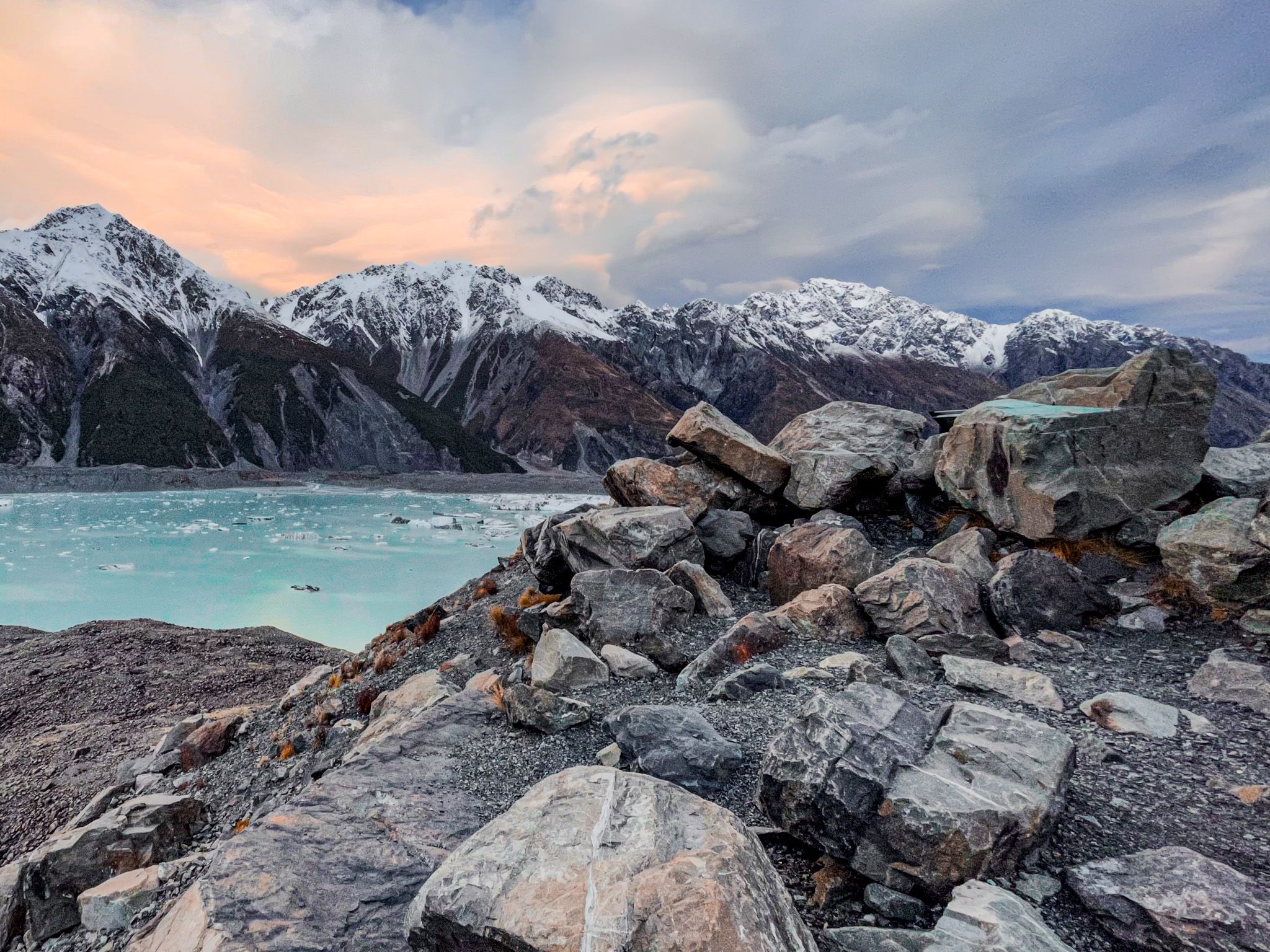
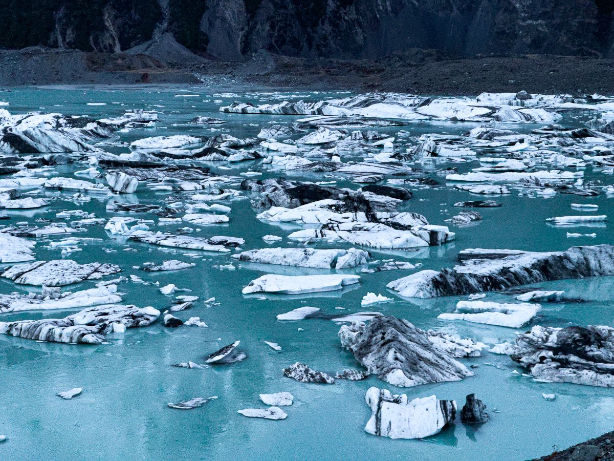
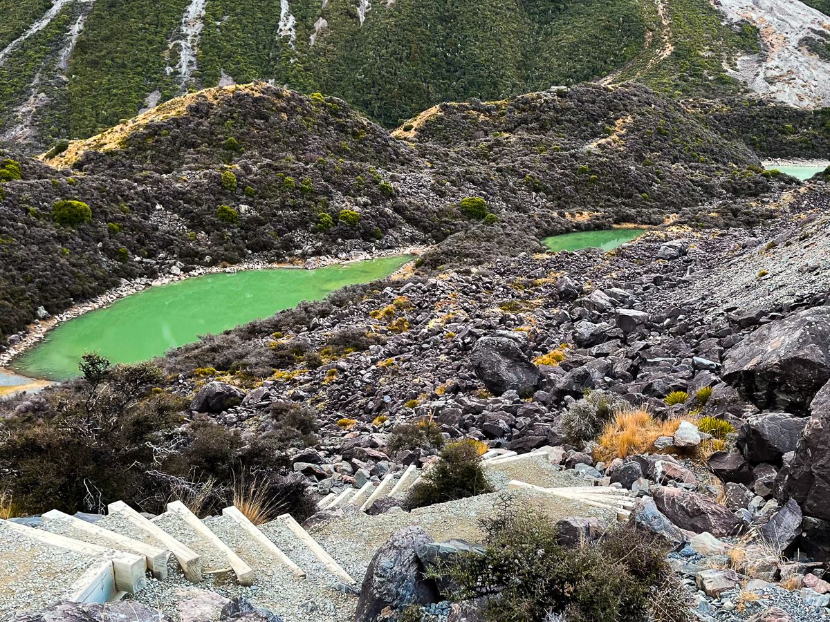
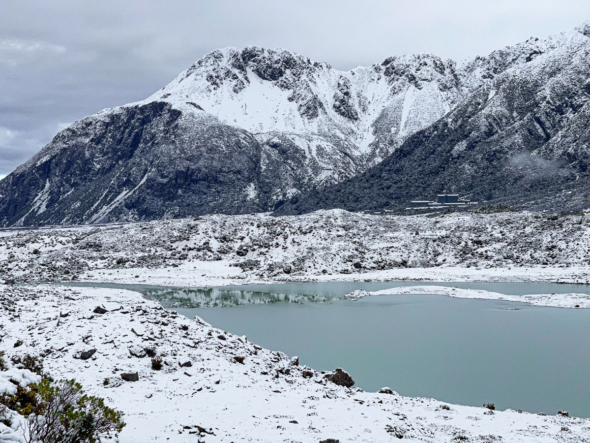
Aoraki / Mount Cook is centrally located along the 650 km-long Alpine Fault, part of the Southern Alps. This fault line continues to uplift the mountain, with significant earthquakes occurring every 100 to 300 years; the last major quake was in 1717. Established in 1953, the national park includes 140 peaks over 2,000 metres and 72 named glaciers. The mountain forms a massif between the Hooker and Tasman Glaciers, with glacial lakes nestled below.
Flora and Fauna
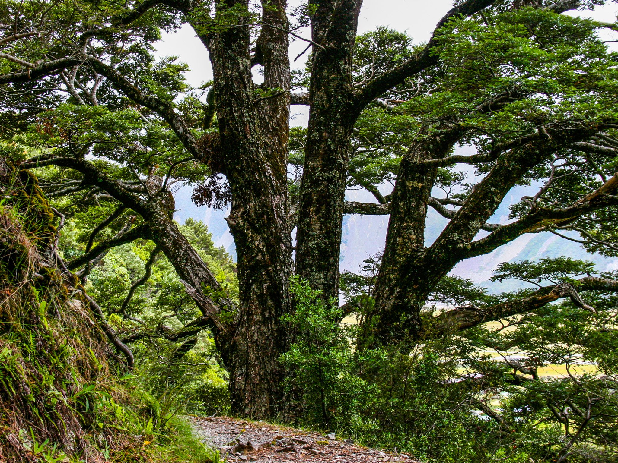
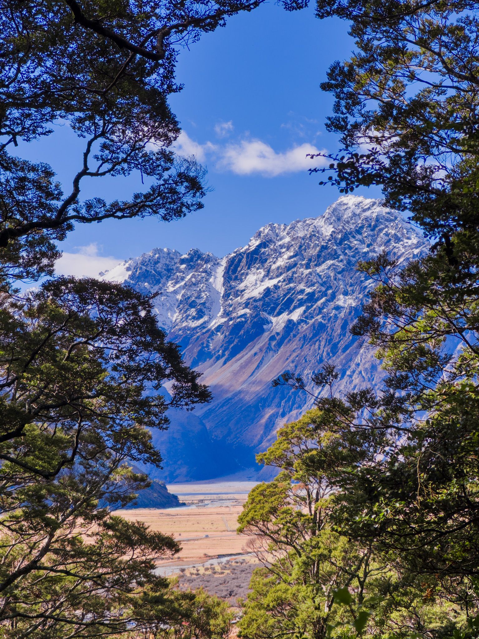
The western side of Aoraki is lush with rainforest up to the snowline, while the eastern side is drier, featuring sparse vegetation due to scree and rock falls. Governors Bush Track, located behind the village, leads through a beautiful area of mature beech forest.
Cultural Significance and History
Aoraki holds deep cultural significance for Ngāi Tahu, a prominent South Island Māori iwi. According to legend, Aoraki was one of the sons of Rakinui (the Sky Father). He went on a voyage with his brothers in their waka to visit Papatūānuku (the Earth Mother). On the return, they struck a reef and overturned. The waka became the South Island, and the brothers were turned to stone by the cold south wind, becoming the mountains. Aoraki, the "cloud piercer" and the tallest, became the highest peak,
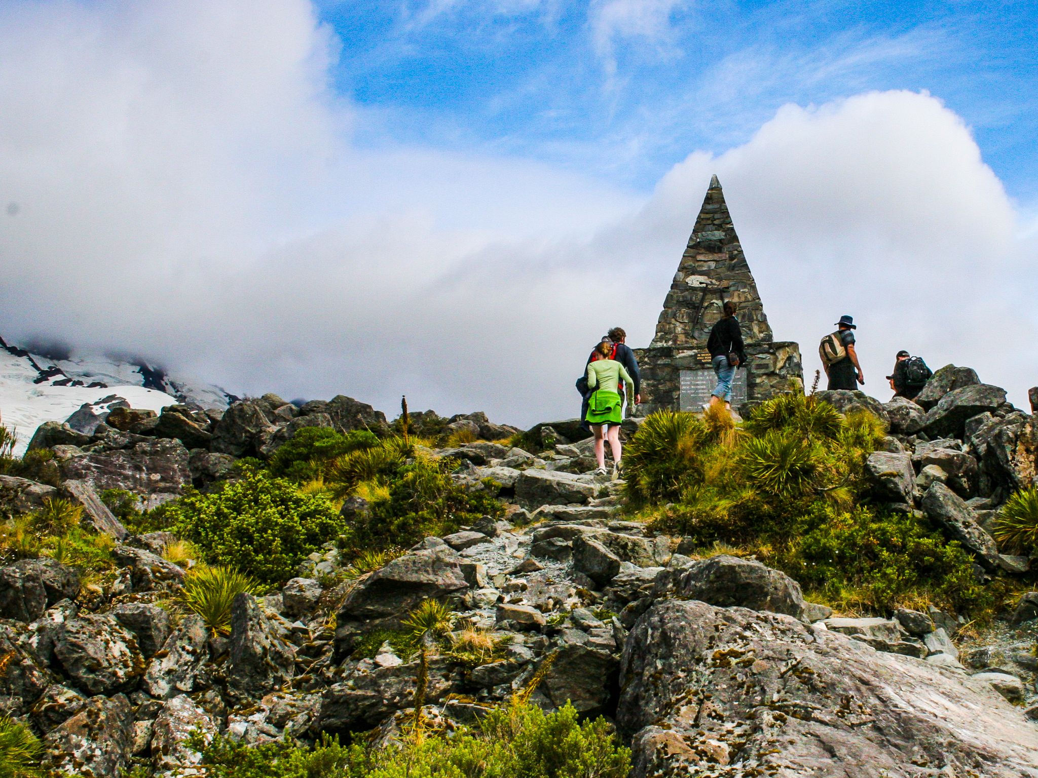
European discovery began with Abel Tasman's crew in 1642, and Captain John Stokes named it Mount Cook in 1851 after Captain James Cook. The first Europeans to attempt to climb Aoraki were Reverend William Green and two Swiss guides, Emil Boss and Ulrich Kaufmann, in 1882. They came up short, and the first successful climb was in 1894, by Tom Fyfe, Jack Clarke, and George Graham. Many more have died trying, and there is a moving monument at the head of the Hooker Valley.
Best Viewing Points
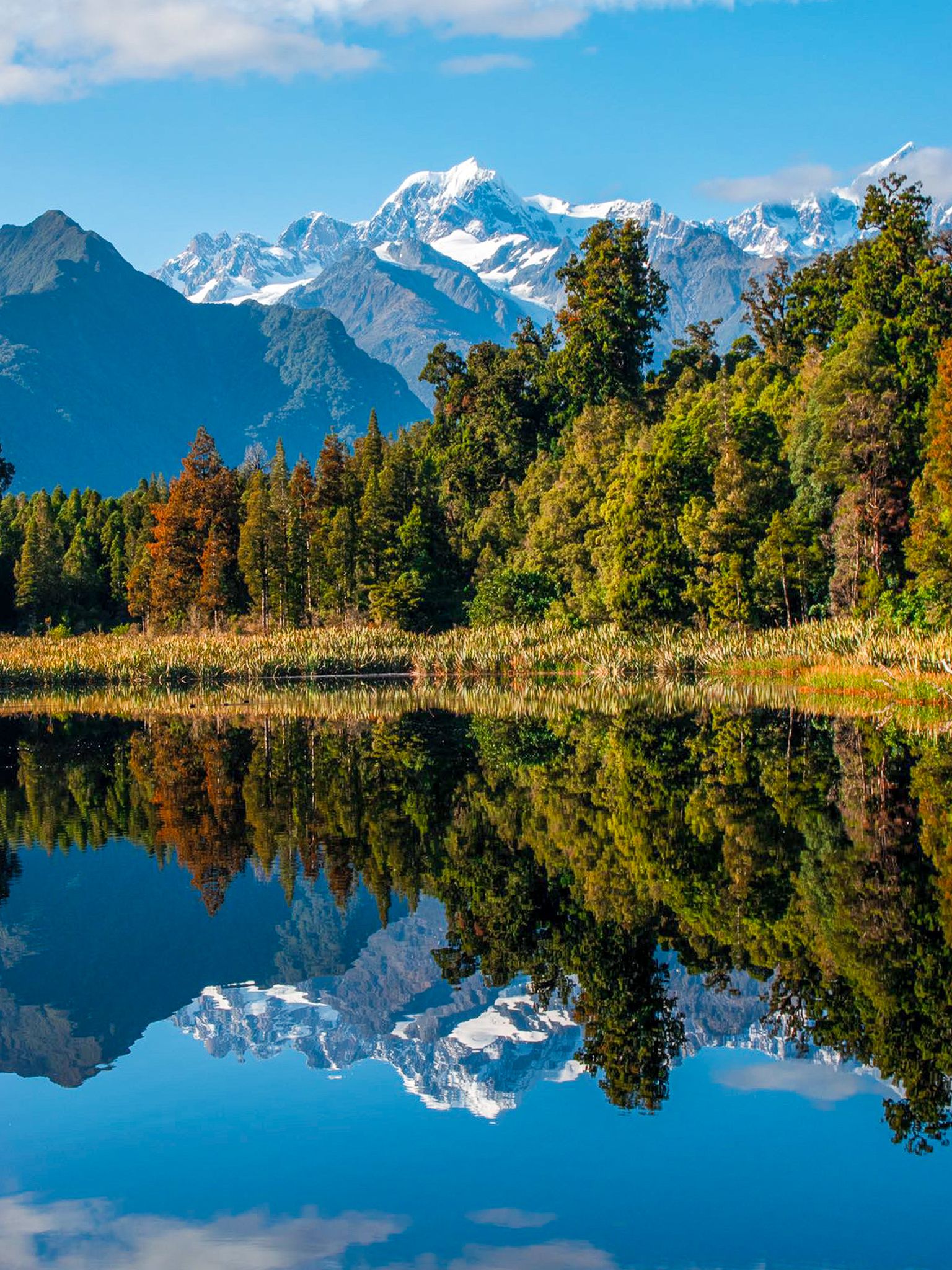
The south end of Lake Pukaki and State Highway 80 offer the easiest views of Aoraki. The Hooker Valley Track provides the best vantage point, just 10 km from the peak, offering a full view of the mountainside. Partial views are also available from the Hermitage Hotel in the village. On the West Coast, Lake Matheson offers reflections of Aoraki and Mount Tasman on calm days, known as the "view of views."