Lake Benmore: Hydro Engineering in the High Country
Man-made Lake Benmore, located where the Mackenzie Basin meets the Waitaki Valley, is both the largest site on the Mackenzie Country hydro power scheme and a substantial recreational playground. Water that once flowed into the valley through rivers is now mainly funnelled by canals through power stations to Lake Benmore, where it is contained by the enormous Benmore Dam before it flows down the Waiataki Valley to the two more hydro lakes and the Pacific Ocean.
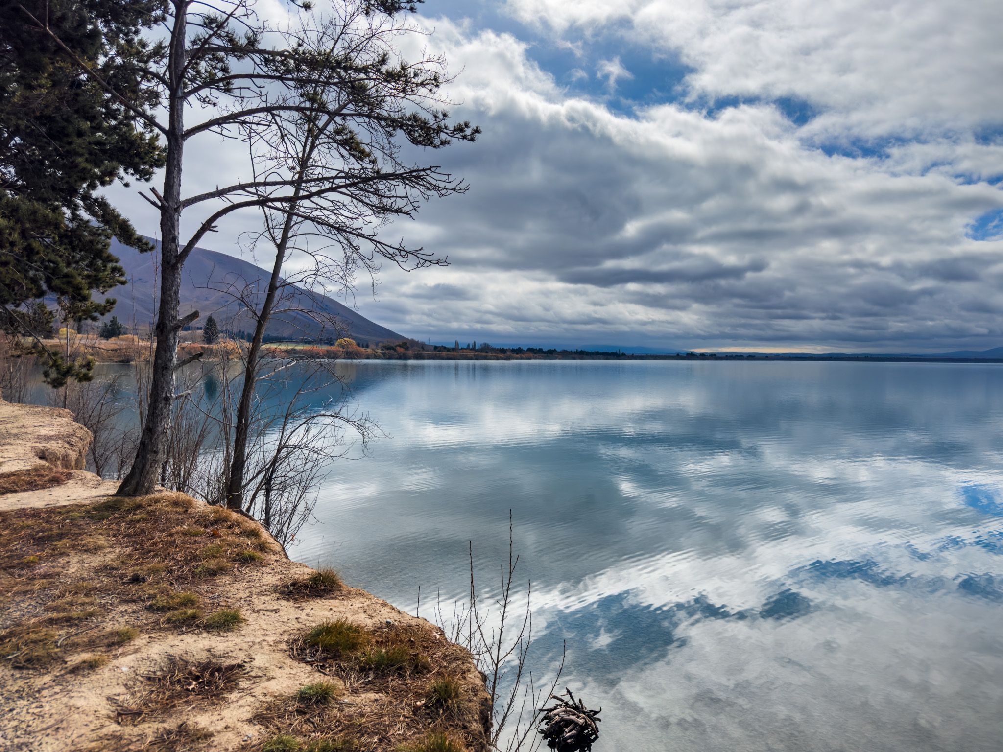
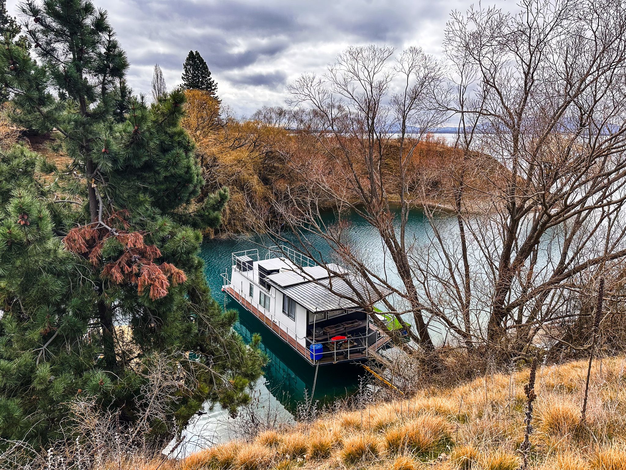
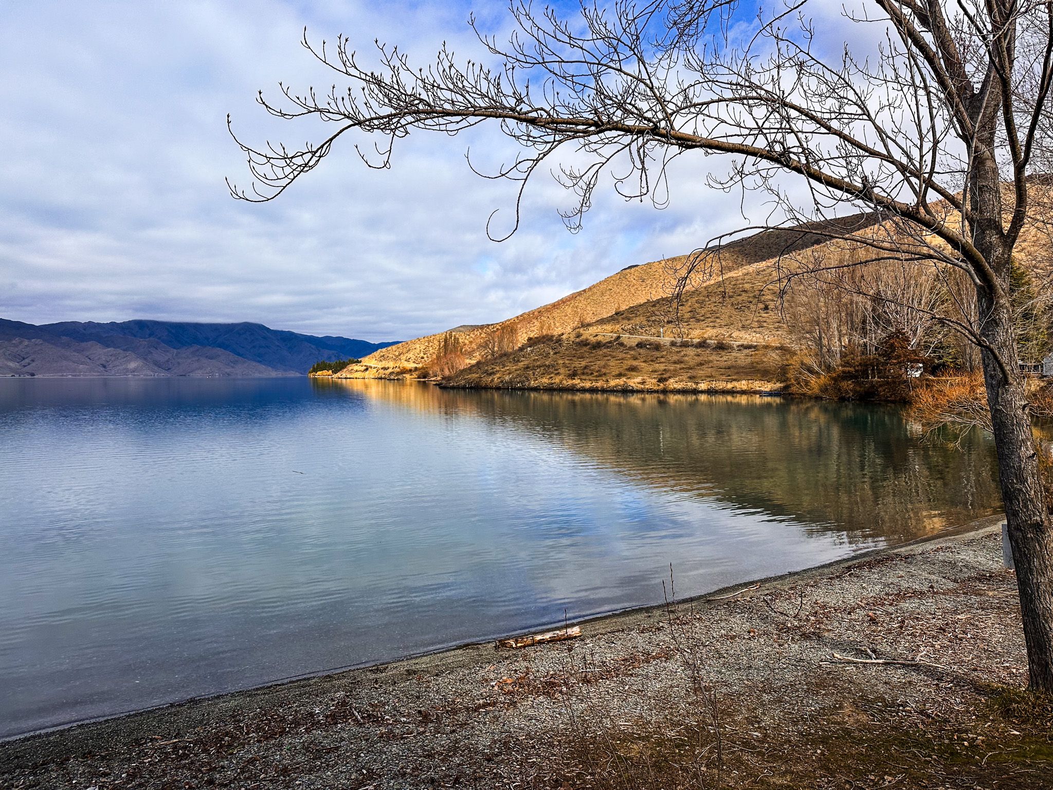
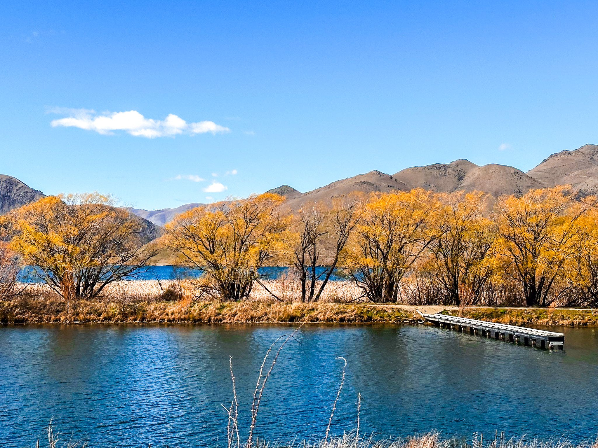
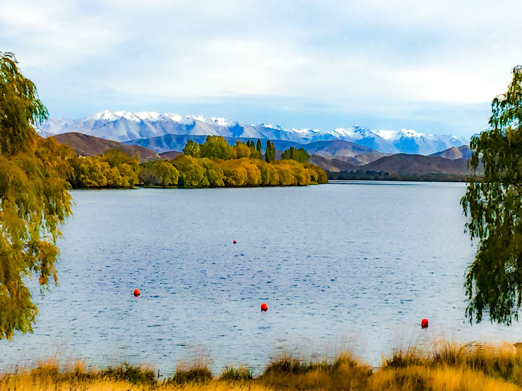
Lake Benmore is also a rare mix of solitude, still water, and sweeping hill-country views, with camping options. The northern Haldon Arm, although only a short drive from State Highway 8, feels remote and untouched, with excellent campgrounds. The western Ahuriri Arm is busier, with easy access to day visits and camping at Sailors Cutting.
Gentle Shores and Drowned River Valleys
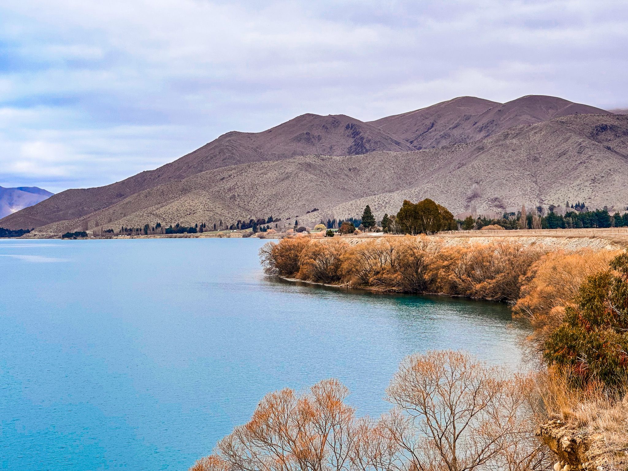
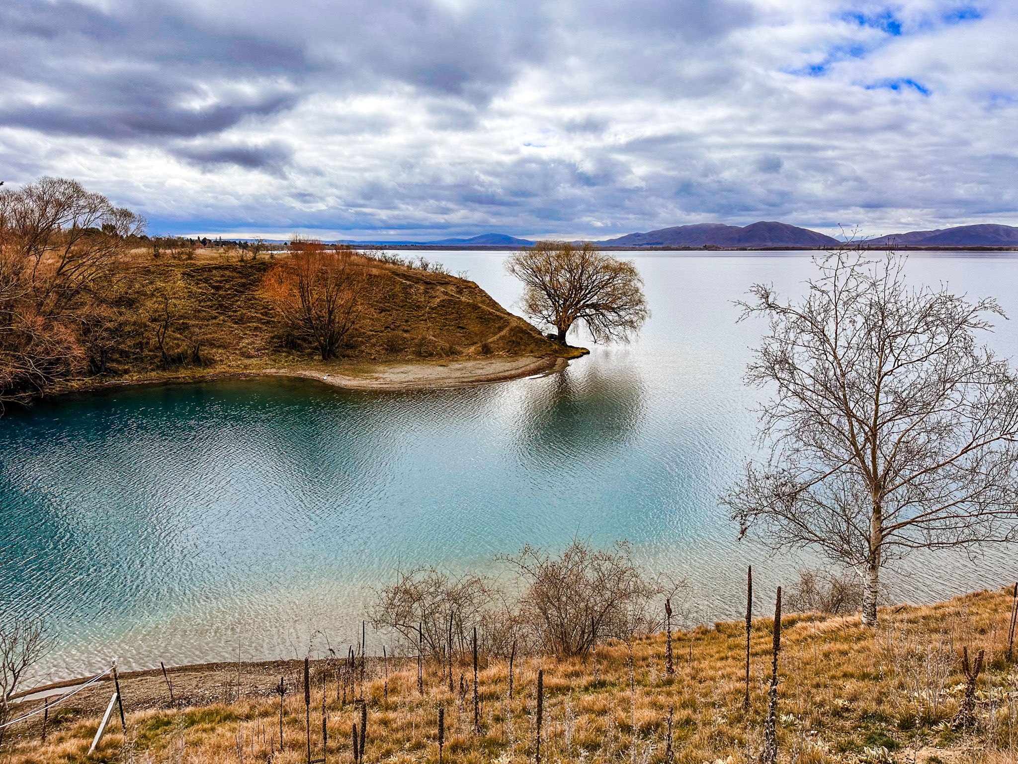
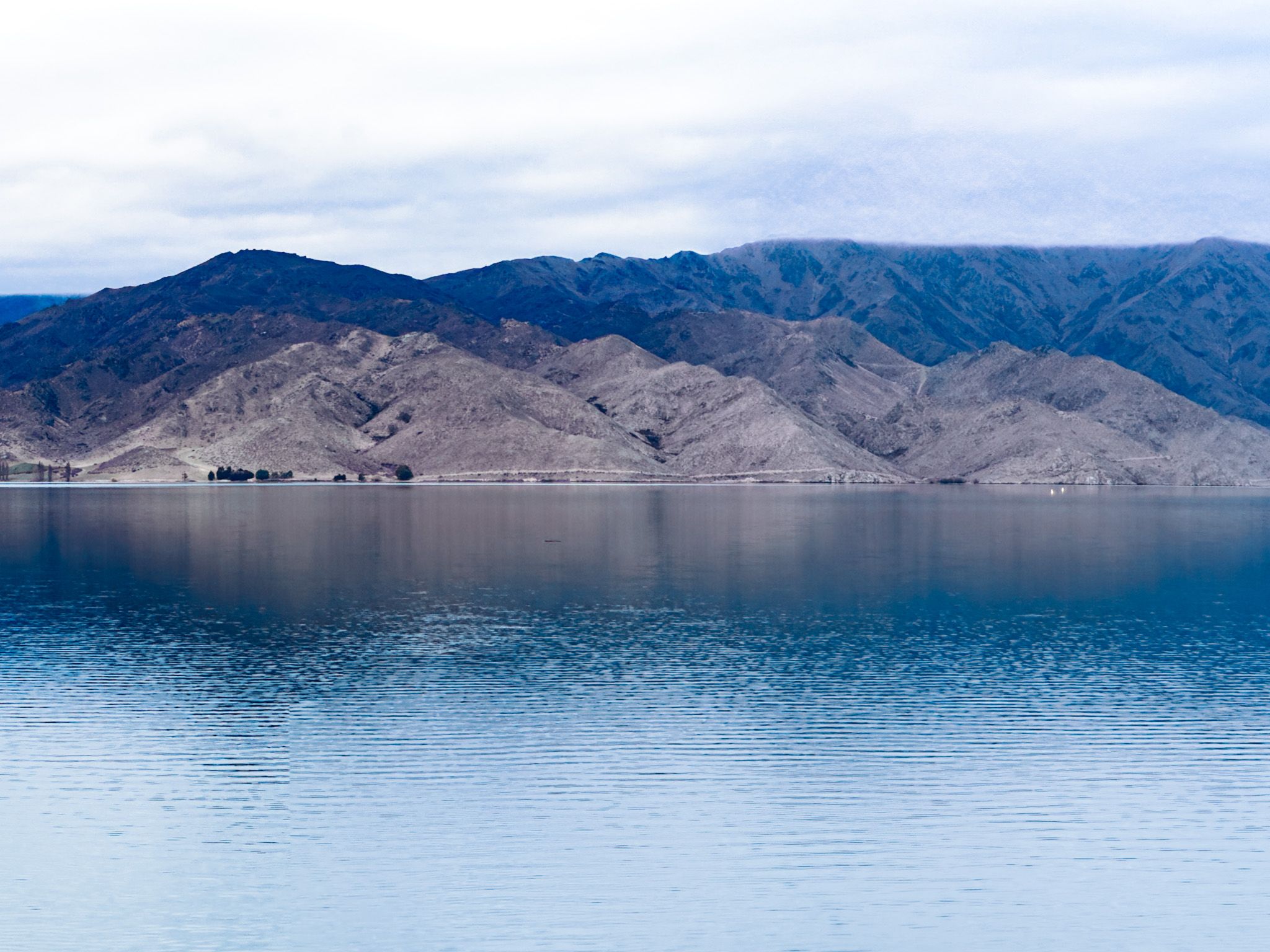
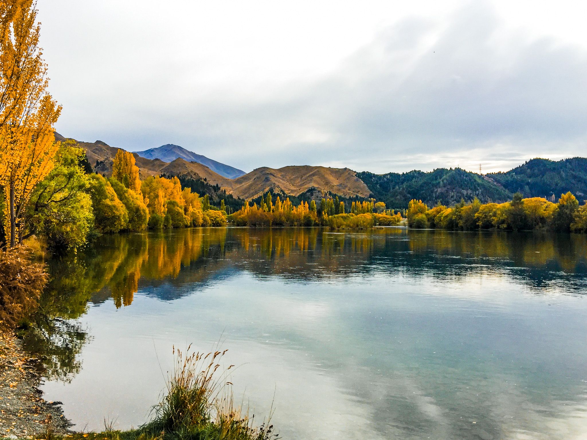
New Zealand’s largest artificial lake, Lake Benmore, spans about 75 square kilometres with two main arms, both of which are drowned river valleys. The Haldon Arm stretches north into the Mackenzie Country, covering a deep valley historically fed by the Ōhau River, the Pukaki River, and the Tekapo River, from the glacial lakes of Tekapo, Pukaki, and Ōhau. The Ahuriri River historically ran through the area now below Ahuriri Arm. Today, the rivers have been largely displaced by the system of canals that funnel water from the glacial lakes and the Ahuriri Valley to Lake Ruataniwha near Twizel, and then to Lake Benmore.
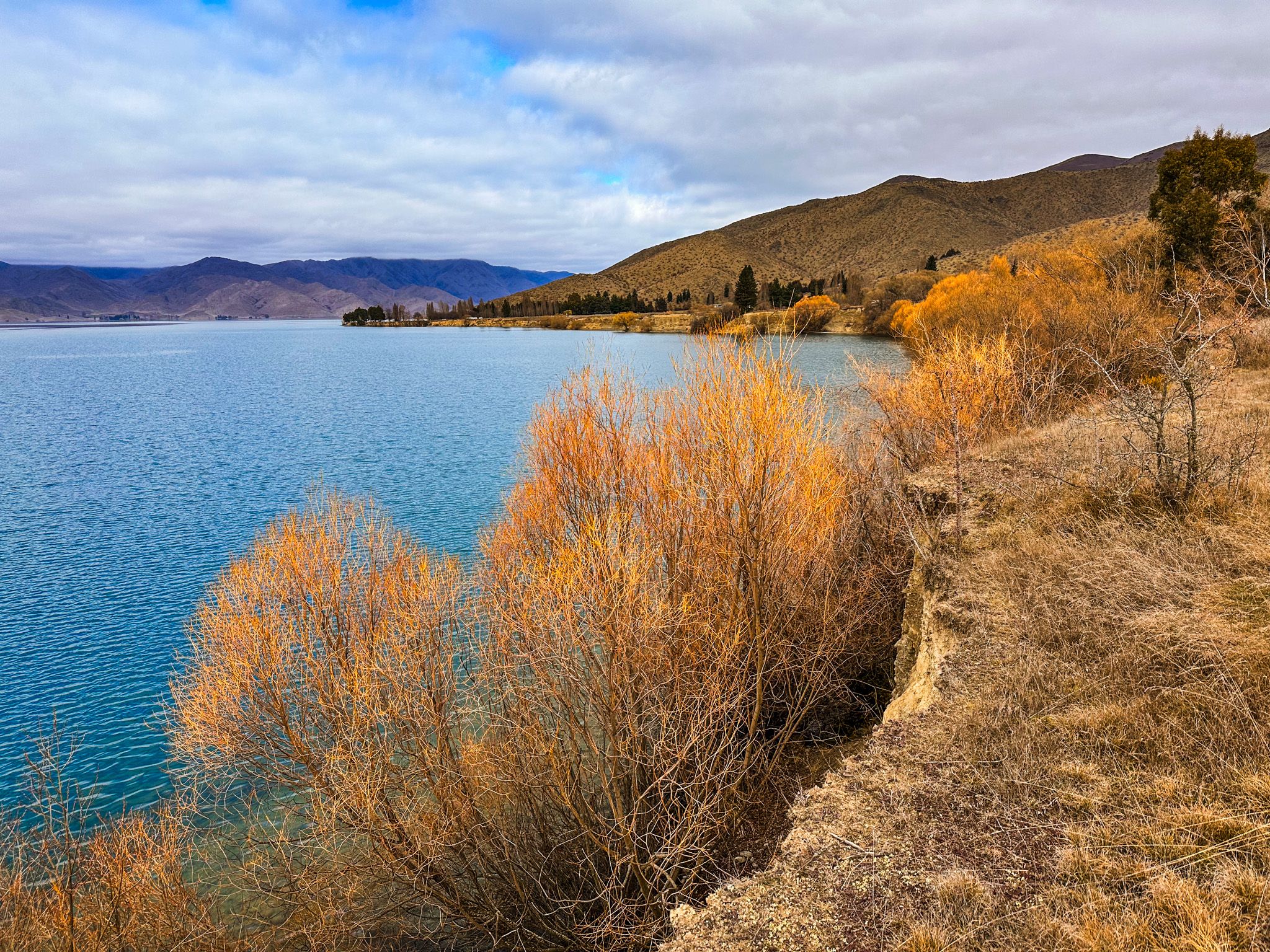
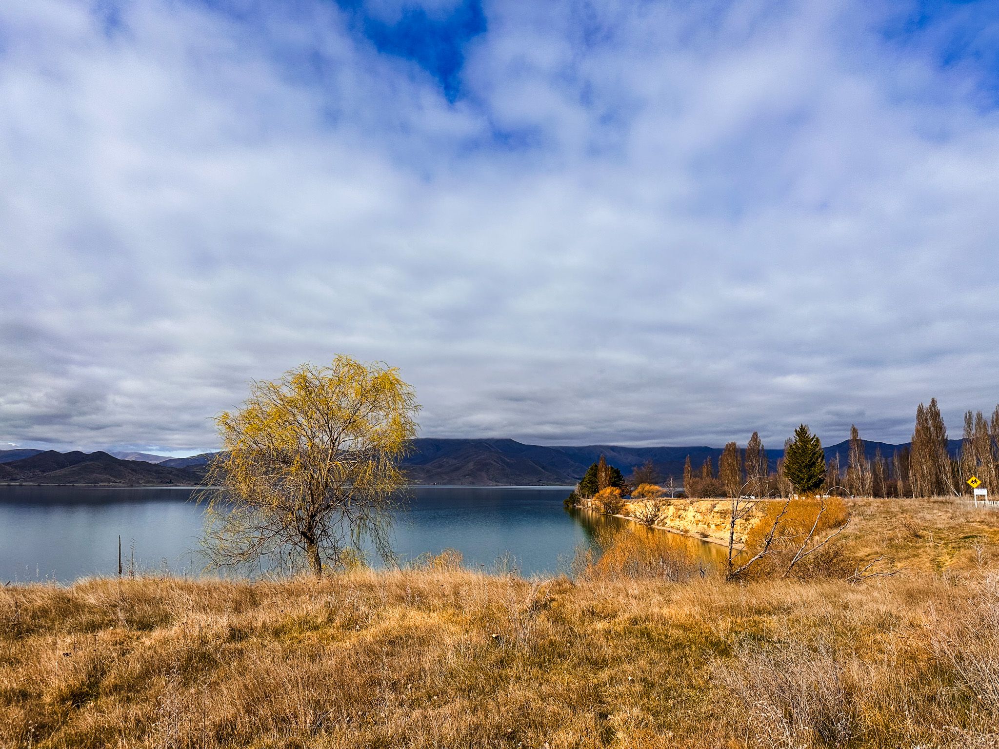
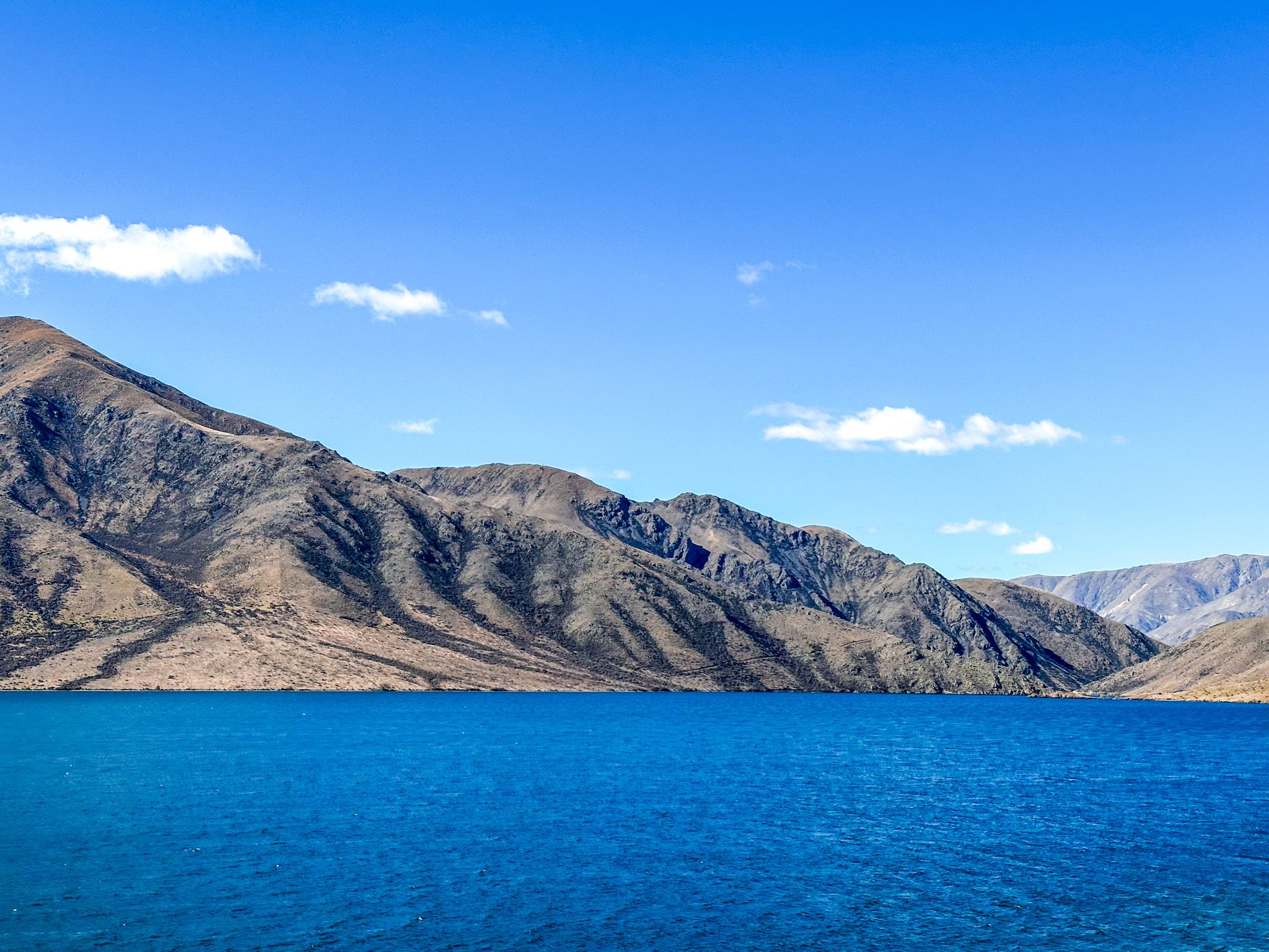
Despite its scale, much of the lake feels still and peaceful. The flat water reflects the surrounding gold and brown hills, especially in early morning or evening. The lake’s long shoreline is broken by small coves and beaches ideal for swimming or launching a kayak.
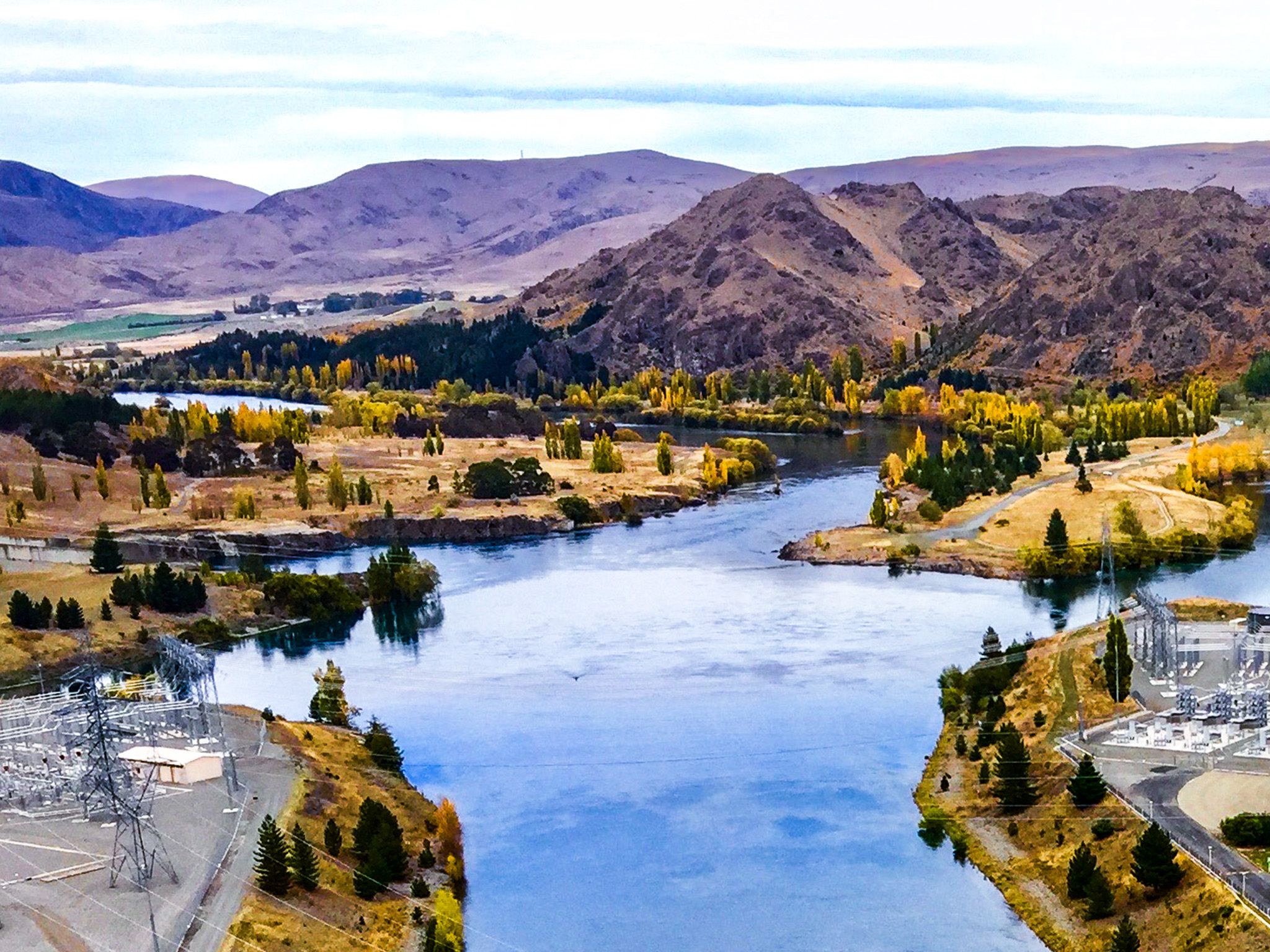
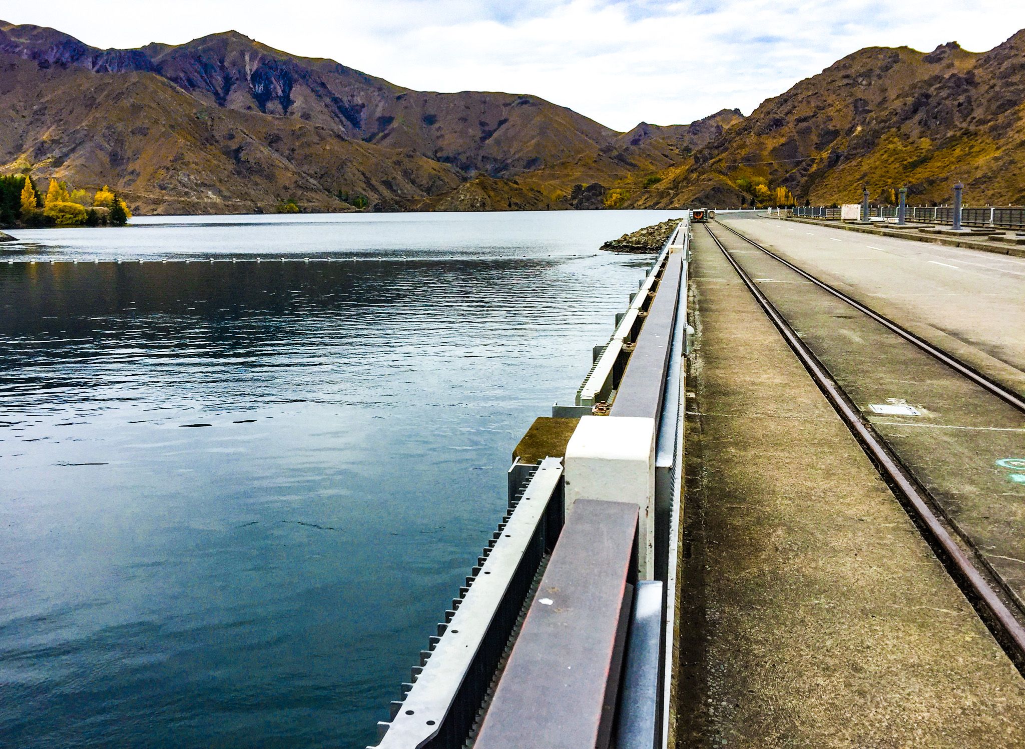
All of this is held in place by the dam, which lies across what was once a deep and wide gorge at the head of the Waitaki Valley.
Camping, Kayaking and Walking Tracks
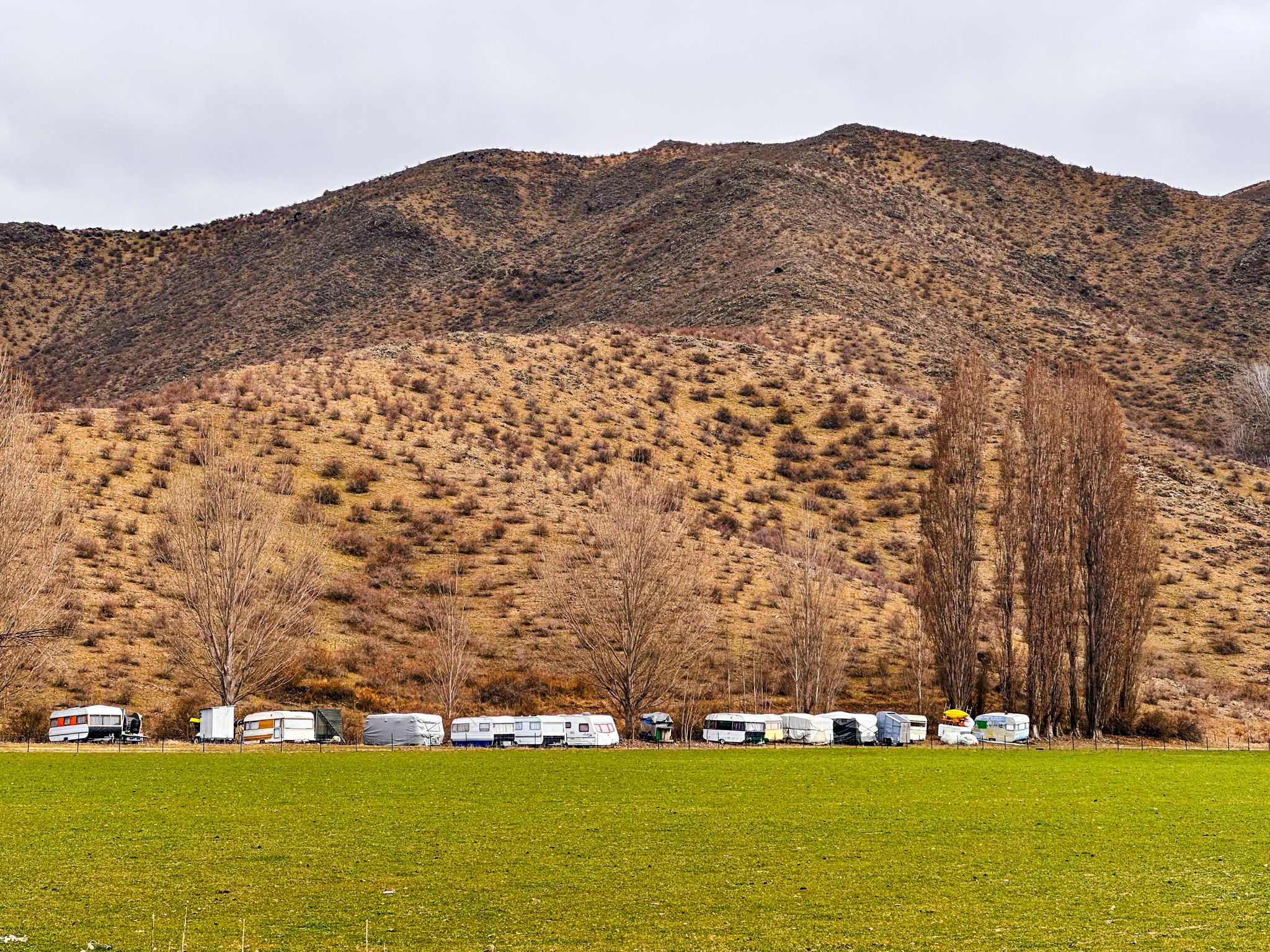
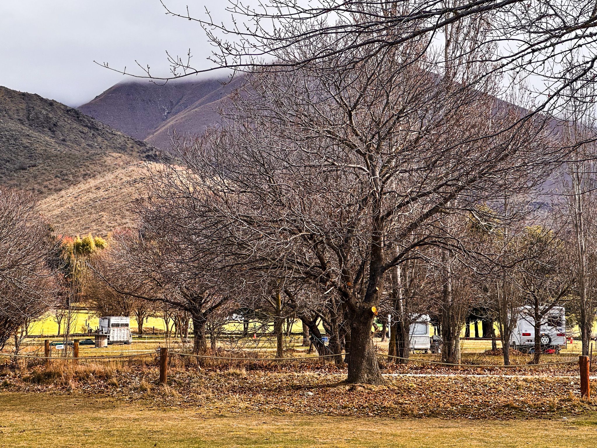
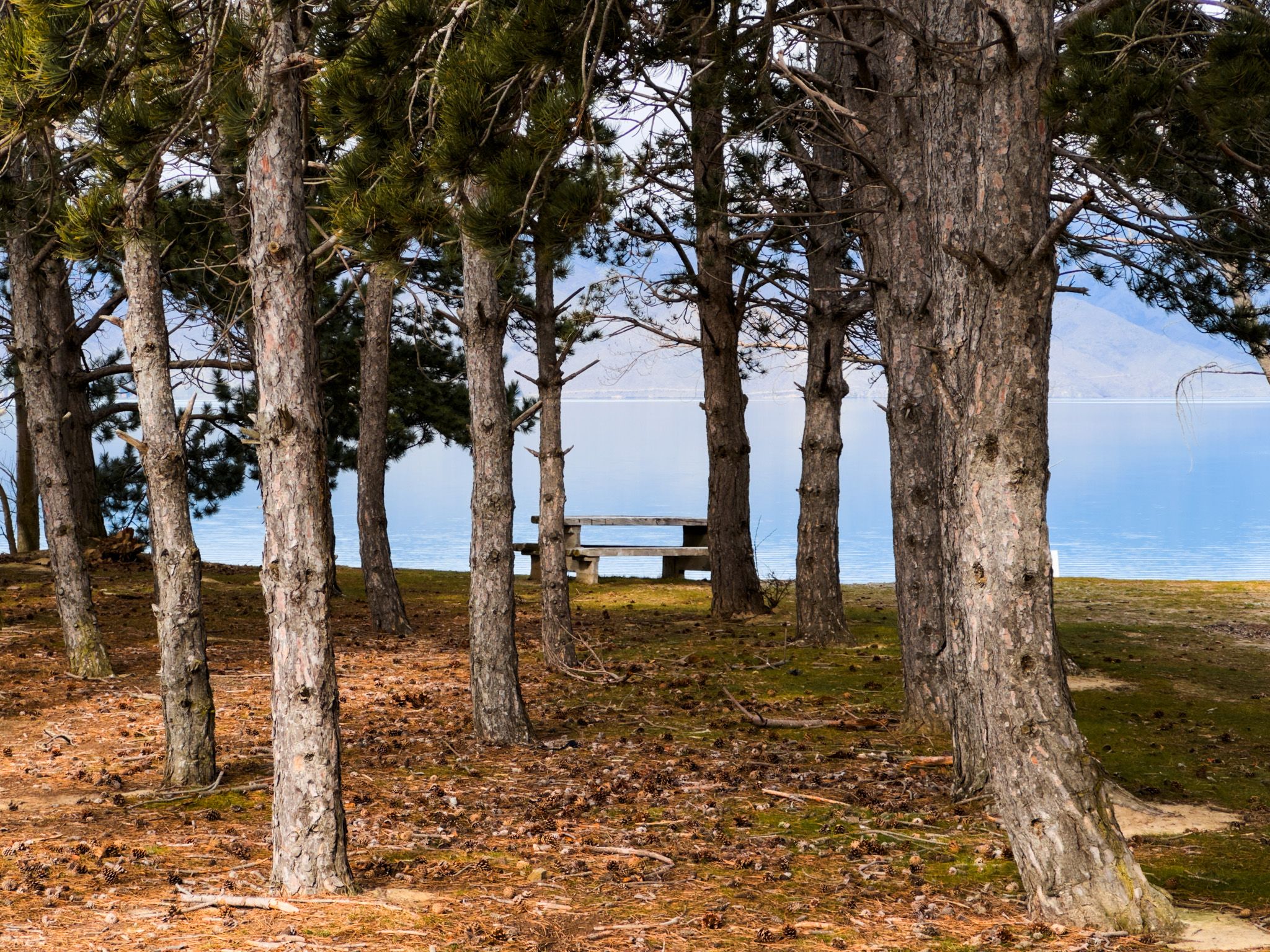
Around the Haldon Arm, there are four lakeside reserves and campgrounds. At the northeast end of the arm is Haldon Arm Campground, accessed from Haldon Road and Haldon Arm Road. On the west side of the arm are three campgrounds: Ohau C at the end of the Ohau Canal, Benmore Views and Falstone. Sailors Cutting is a scenic lakefront reserve popular for boating and camping, east of the dam on Ahuriri Arm. Immediately below the dam, there is also the Loch Laird Campground.
These spots are popular in summer for swimming, boating and family holidays. While access is mostly via gravel roads, the atmosphere is laid-back and open, with plenty of space for tents and trailers.
The Benmore Peninsula Track, near the eastern arm of the lake, is a 4 km loop walk that climbs to an elevated lookout point above the dam. It takes around 1.5 hours to complete and provides 360-degree views across Lake Benmore, the dam spillway, and far into the Waitaki Valley. The track is well formed and suitable for most walkers, with some short climbs.
Fishing is also a major drawcard, especially around the western bays and Ohau Canal. The lake supports large numbers of brown and rainbow trout, as well as salmon, with good shore access in many areas. Quiet bays along the Haldon Arm make ideal launch points for kayaks, paddle boards or small boats.
Ahuriri Arm is also bordered by the Alps 2 Ocean Cycle Trail. You can walk the trail, but cycling is better. The trail follows the southwest side of the arm from Omarama to the dam, then crosses the dam, and then follows Te Awatarawa Road to the Lake Aviemore Dam.
History Behind the Lake
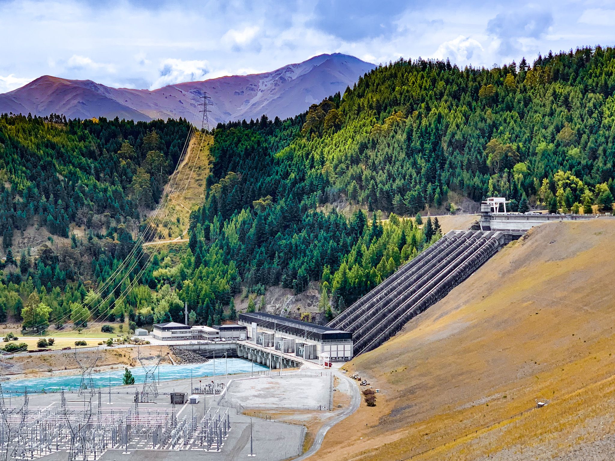
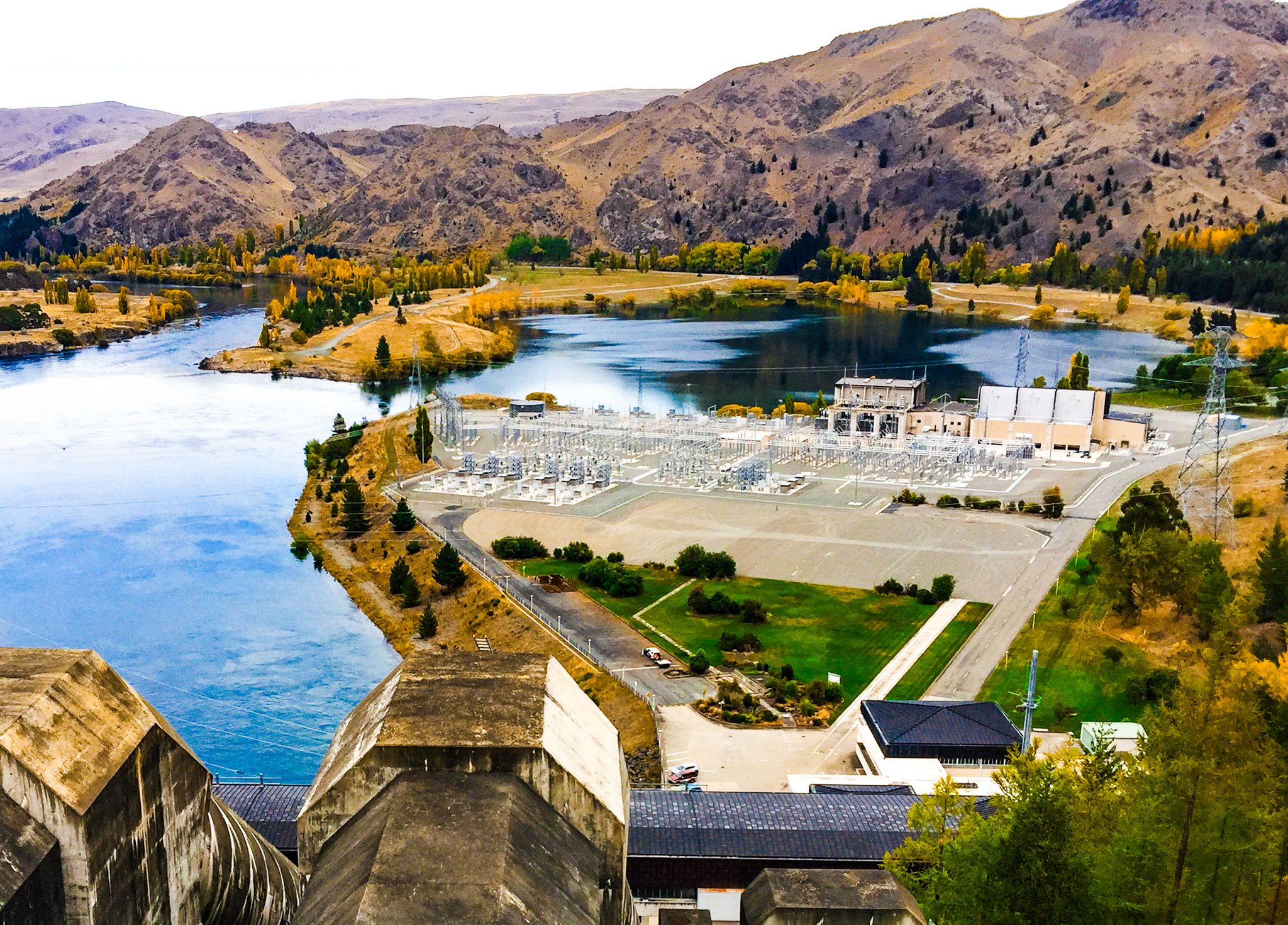
Lake Benmore was created in the 1960s as part of the massive Mackenzie and Waitaki hydroelectric scheme. Construction of Benmore Dam began in 1958, and the reservoir was filled by the end of 1964. The dam itself is New Zealand’s largest earthfill structure, 110 metres high and 823 metres long, forming a huge wall across the Waitaki River.
The power station beneath it has six turbines with a combined capacity of 540 megawatts, supplying electricity to much of the South Island. The dam marked a turning point in New Zealand’s energy history and remains one of its most significant hydro projects.
The small settlement of Ōtemātātā was initially built to house dam workers and now serves as a base for lake visitors, with cafés, accommodation, and walking access to the lower river.
Before Europeans arrived, Māori travelled the braided river system of the Waitaki Valley and the Mackenzie Basin between inland Canterbury and coastal settlements. The name Ōtemātātā is said to mean "place of good flint", referring to the stone traditionally gathered here for toolmaking.
Road Access and Scenic Drives
From State Highway 8, near Lake Ruataniwha, you can take McAughtries Road southeast along the southern end of the Ohau Canal, past Ohau B power station, to the edge of Lake Benmore. Just before the lake, there is a side road to the Ohau C power station and the Ohau C campground.
Staying on McAughtries Road, you’ll reach the edge of Haldon Arm and connect with Faston Road, which heads south along the edge of the lake to Benmore Views Campground and Falstone Campground. This takes you deep into the classic brown and gold tussock country of the region. For much of the trip, the road is 20 to 60 metres above the lake, greatly enhancing the views.
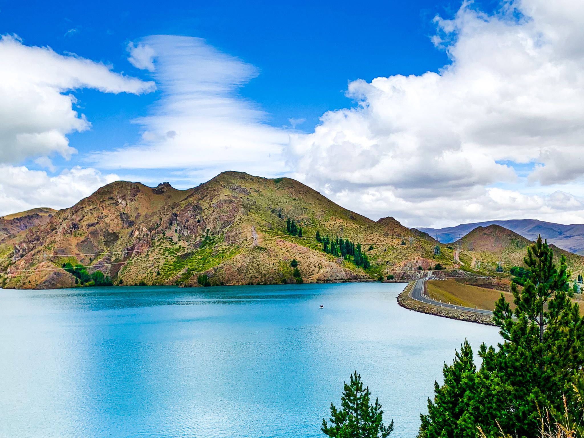
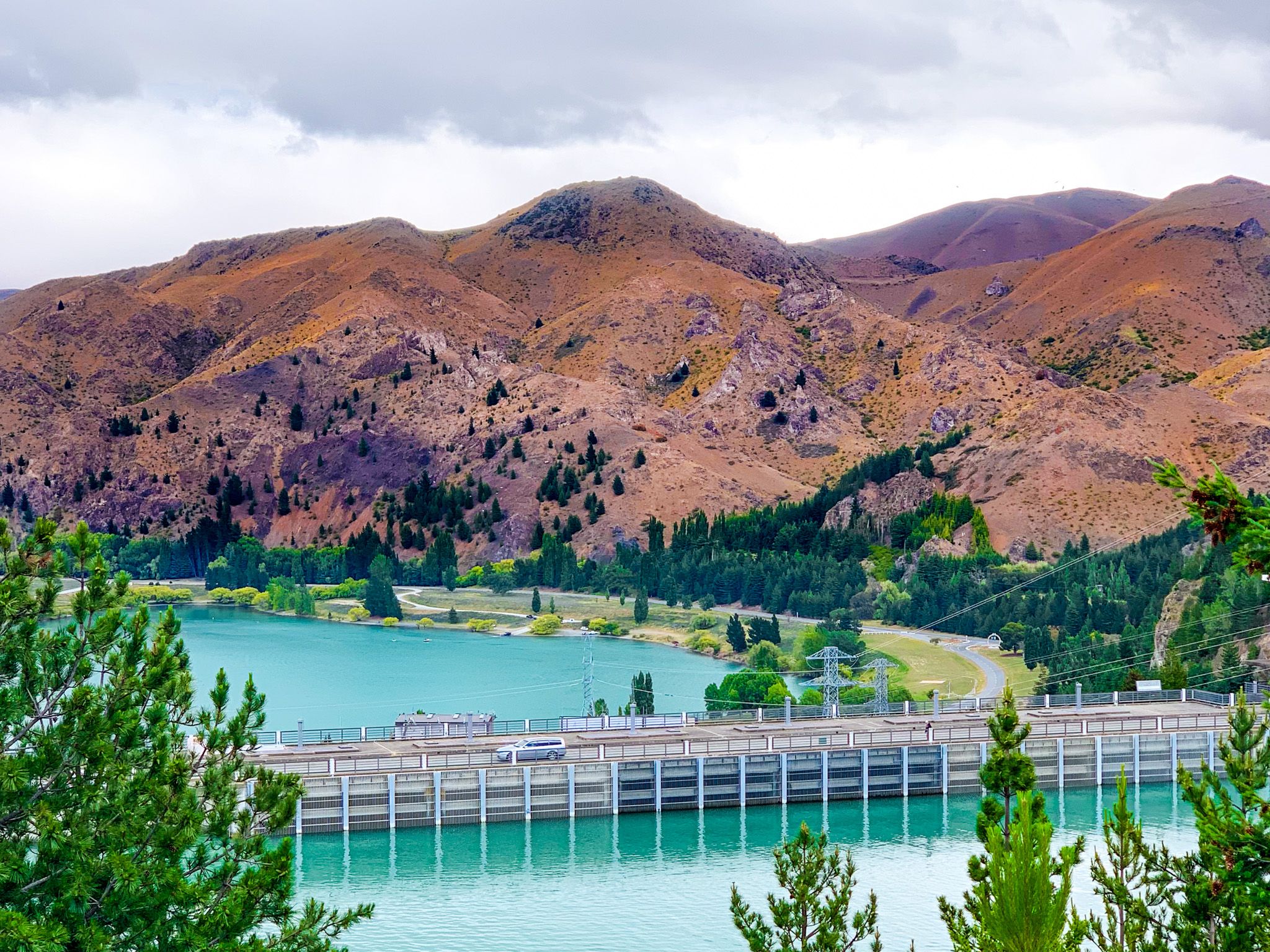
The western side of the lake and the dam is reached via State Highway 83, which runs from Omarama via the Waitaki Valley to State Highway 1, just north of Ōamaru. Ōtemātātā sits south of the dam on the highway, and from here you can drive or cycle across the dam crest itself on Loch Laird Road, which connects with Te Awatarawa Road, heading south on the east side of the valley. The view from the dam is spectacular, with sweeping lake and valley vistas.
Heading down the valley, you will discover Lake Aviemore, Lake Waitaki, and the Whitestone region of Waitaki, with locations such as Earthquakes Waipata, Island Cliff, Anatini, Elephant Rocks, culminating in the Oamaru Whitestone buildings.